 |
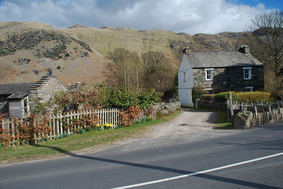
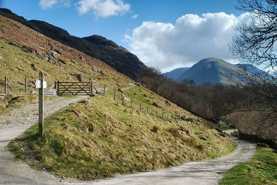
| A signposted lane between the cottages of Bridgend is the starting point for this walk. There are lay-bys for parking on either side of Deepdale Bridge |
 |
| The lane is very short and ends at a gate which gives access to a path leading across the fields |
 |
| The first objective is to reach the pass of Boredale Hause seen here on the left. The path to the hause can be seen rising below the steep flank of Dubhow Crag, the summit of Angletarn Pikes is on the right above the ravine of Dubhow Beck |
 |
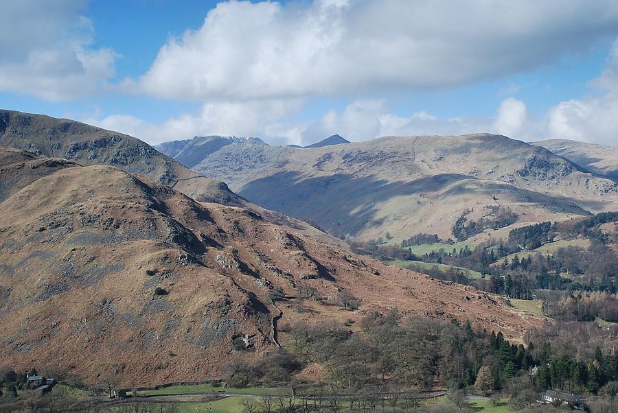
| Looking across to Hartsop Dodd and Caudale Moor from the field path |
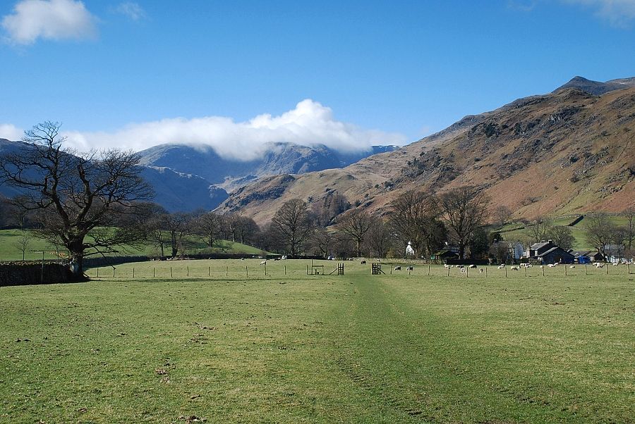 |
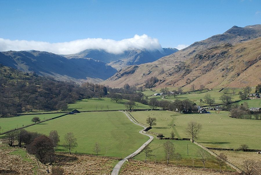
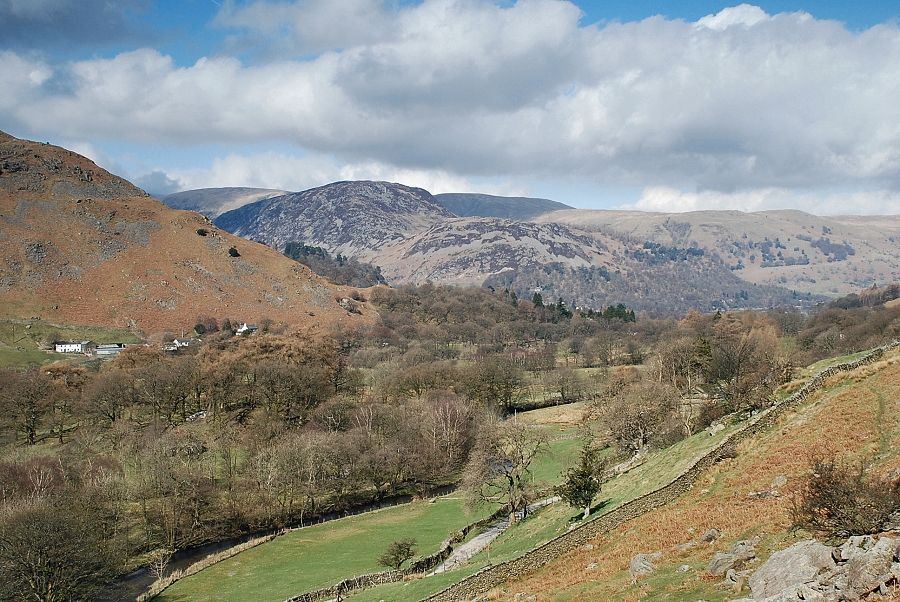
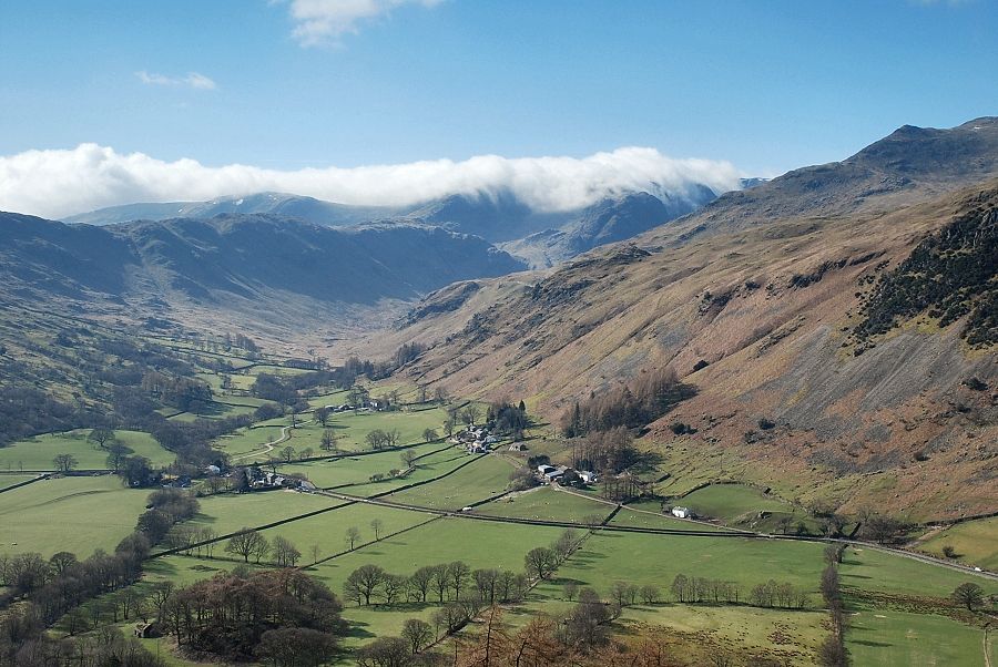
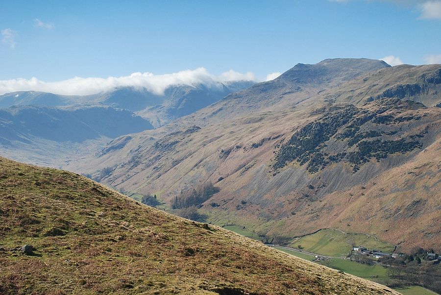
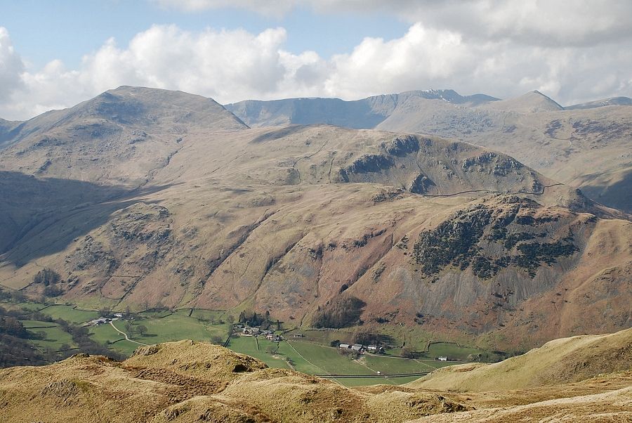
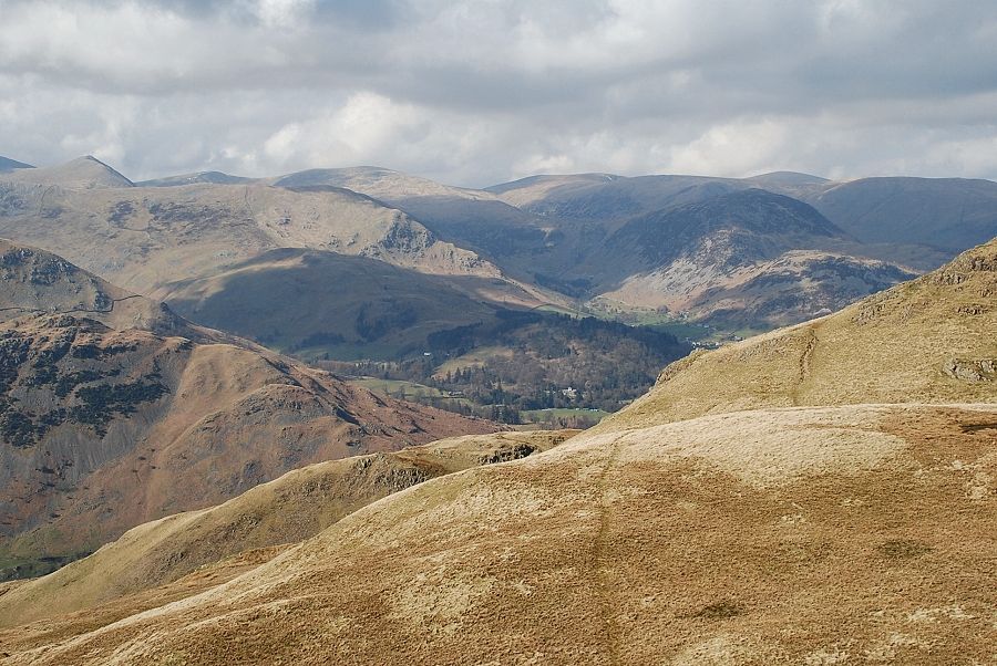
| Looking back to Bridgend from the field path. Clouds are spilling over the summits of Hart Crag and Fairfield at the head of Deepdale. On the right is the distinctive summit cone of Gavel Pike on the east ridge of St. Sunday Crag |
 |
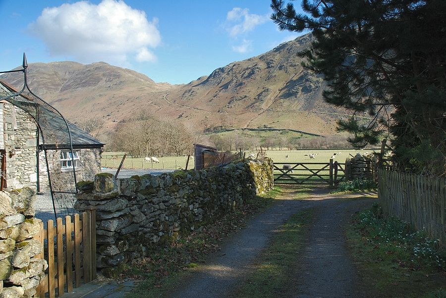
| After crossing a stile the path joins a short section of farm road on the approach to Goldrill Beck |
 |
| Looking back from the bridge over Goldrill Beck |
 |
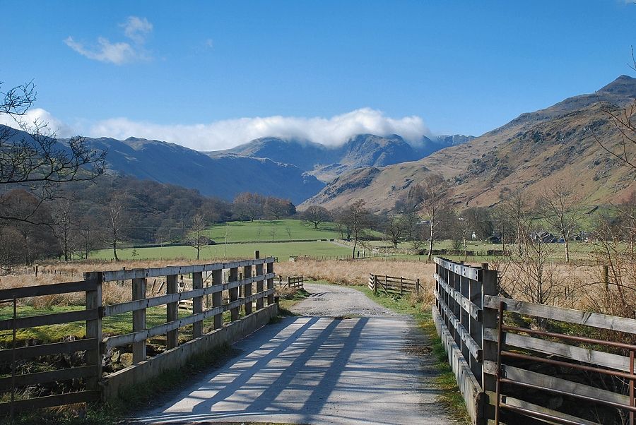
| Across the bridge a short track gives access to a rough lane which runs between Rooking and Hartsop |
 |
| Joining the Rooking ~ Hartsop lane |
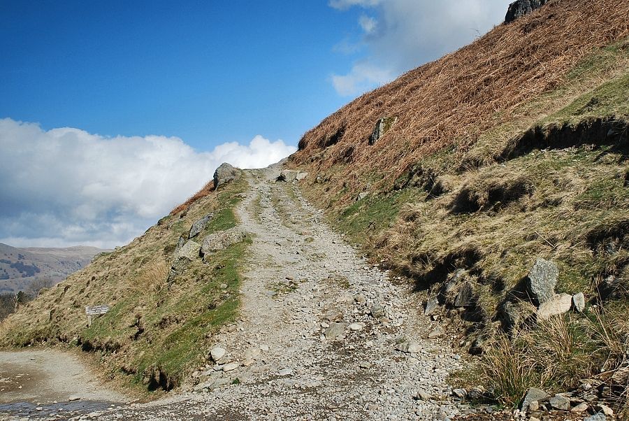 |
| The lane is only followed for a hundred yards or so before leaving it for a wide path which climbs steadily to Boredale Hause |
 |
| The path follows the line of the covered Hayeswater aqueduct below Dubhow Crag and Rake Crag |
 |
| Looking back to Bridgend, centre right in the photo, and the field path to the bridge over Goldrill Beck |
 |
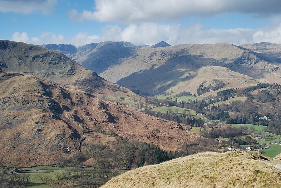
| Glenridding Dodd and Sheffield Pike in the centre of the photo from the path to Boredale Hause |
 |
| Looking back to Brothers Water and Kirkstone Pass |
 |
| Higher on the path to Boredale Hause with Place fell dominating the view ahead |
 |
| Looking across the ridges of Arnison Crag and Thornhow End on the left with Helvellyn, Catstycam, Birkhouse Moor and Raise on the skyline |
 |
| Approaching Boredale Hause |
 |
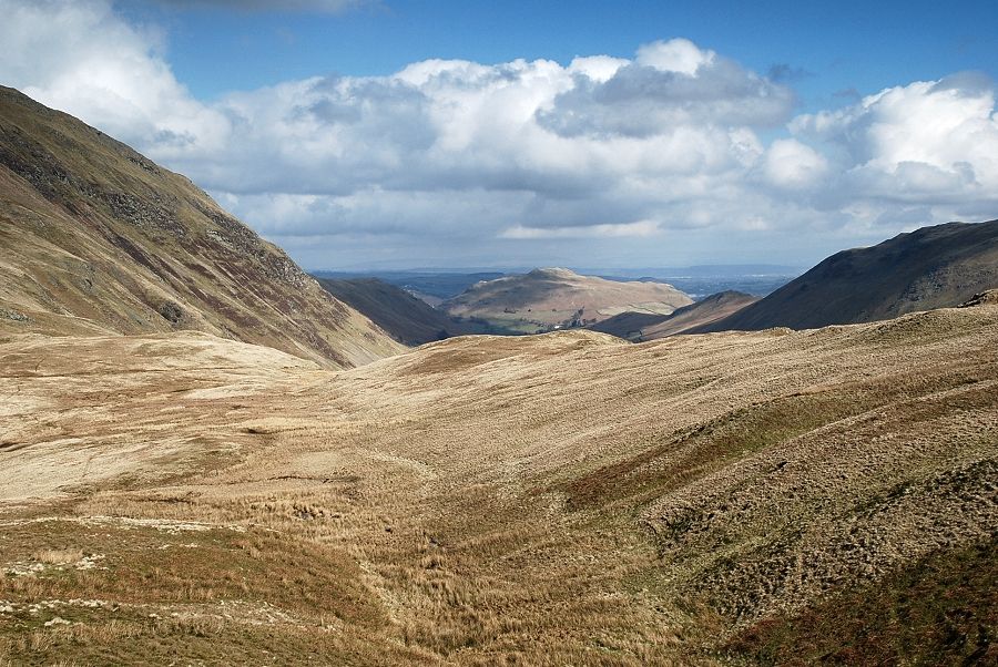
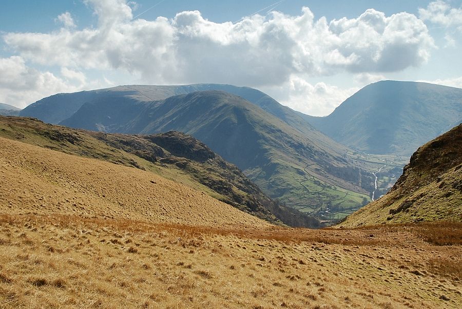
| Looking down to the lower reaches of Deepdale from the path below Boredale Hause |
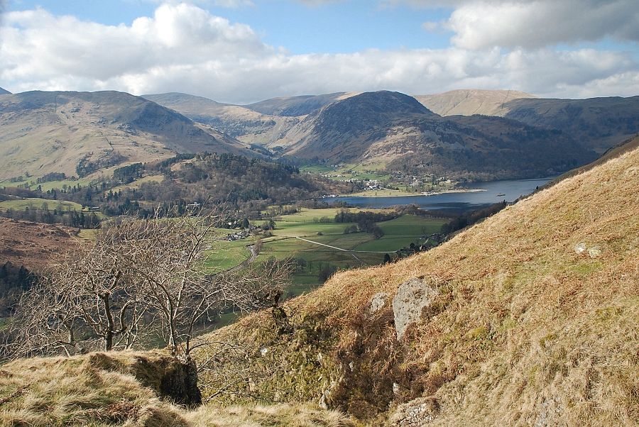 |
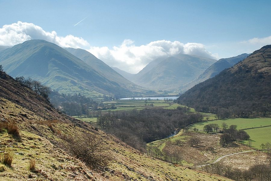
| The head of Ullswater from just below Boredale Hause |
 |
| Boredale Hause, the meeting place of many paths which can be confusing on a first visit. The path to Angletarn Pikes crosses the stream beyond the collapsed marker cairn. The start of the path is surprisingly vague but it soon becomes very clear on the ground as height is gained |
 |
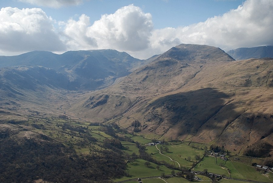
| Dove Crag, Hart Crag, Fairfield and St. Sunday Crag from Boredale Hause |
 |
| Looking to Helvellyn and Catstycam from Boredale Hause |
 |
| Boredale Hause and the south ridge of Place Fell from the path to Angletarn Pikes |
 |
| Looking over Boredale Hause to Hallin Fell |
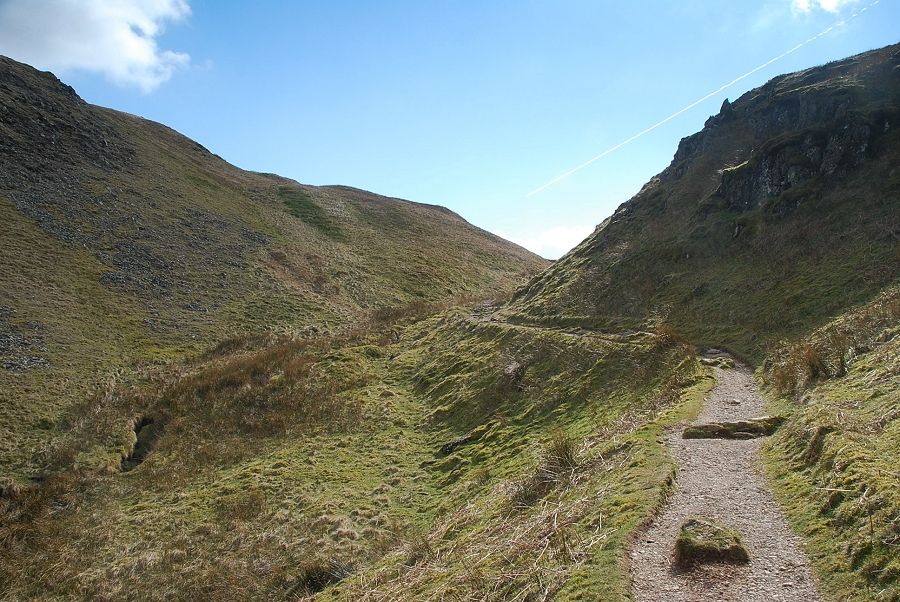 |
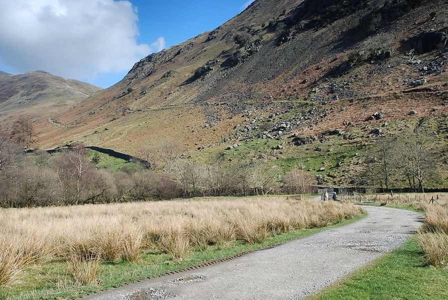
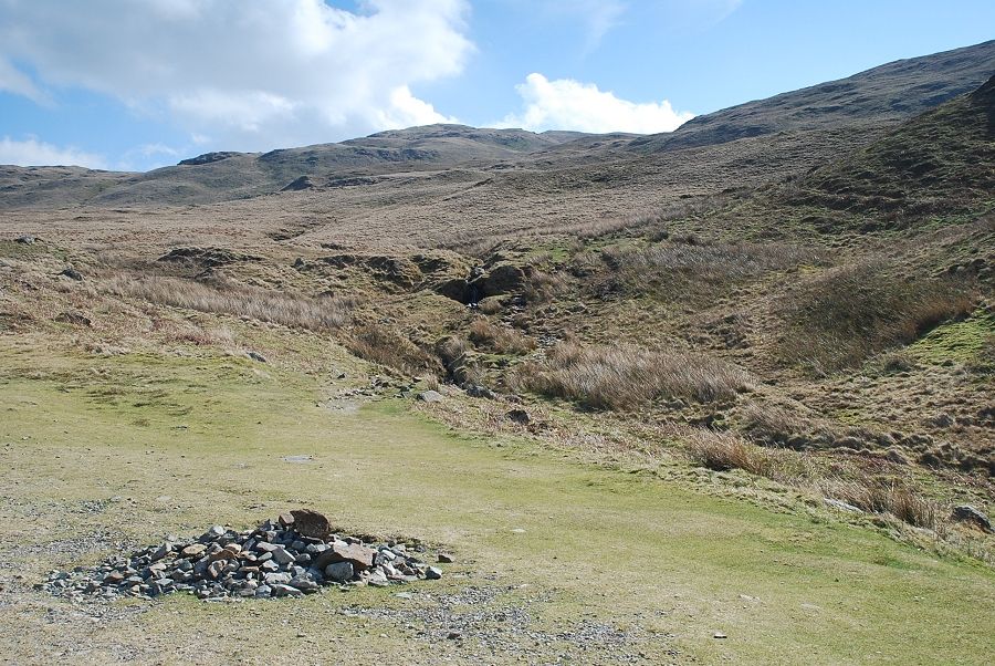
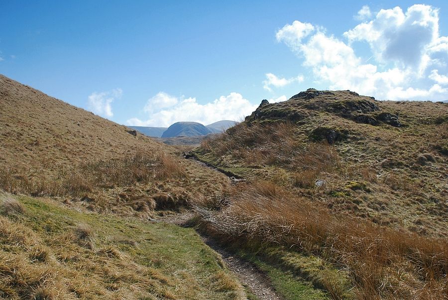
| The path soon passes through a short ravine between the slopes of Stony Rigg and Rake Crag |
 |
| Looking back to Place Fell from the end of the ravine |
 |
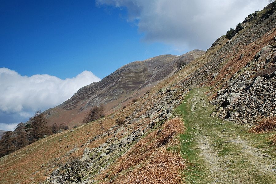
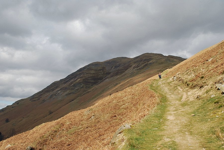
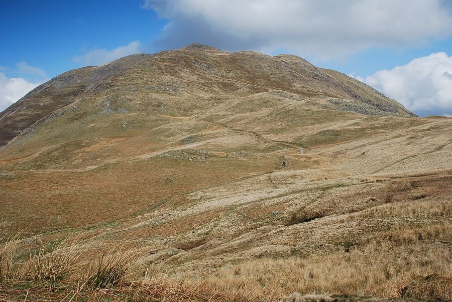
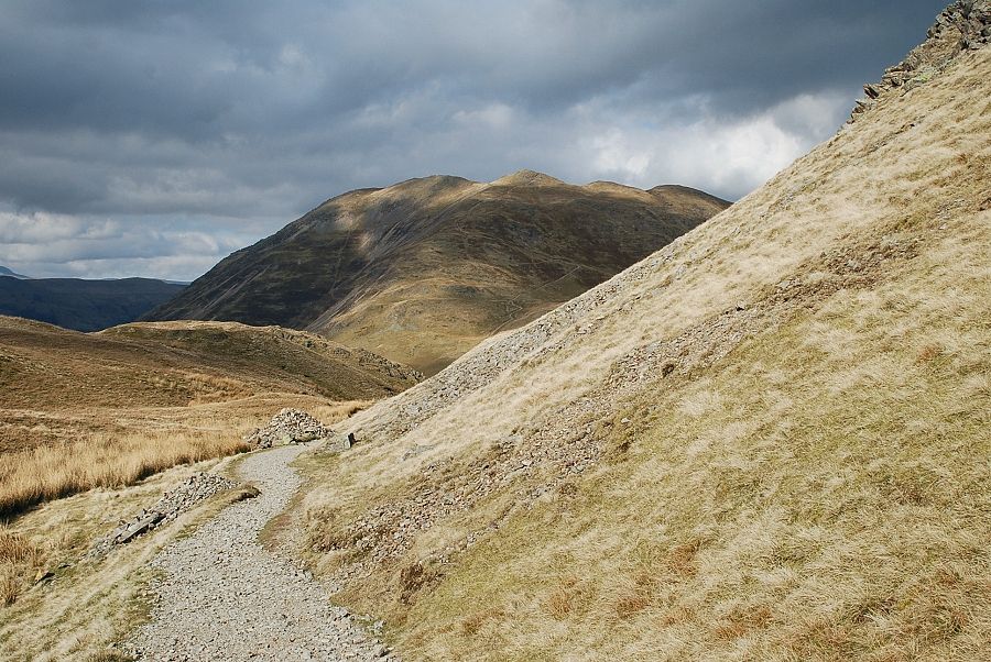
| Hartsop Dodd and Caudale Moor over Dubhow Brow with Kirkstone Pass and Red Screes on the right |
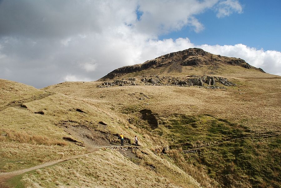 |
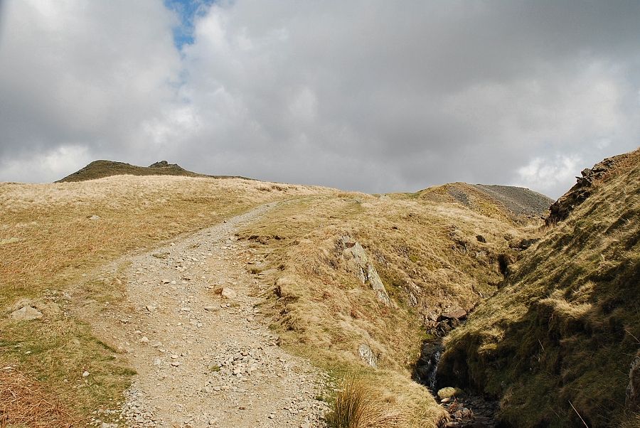
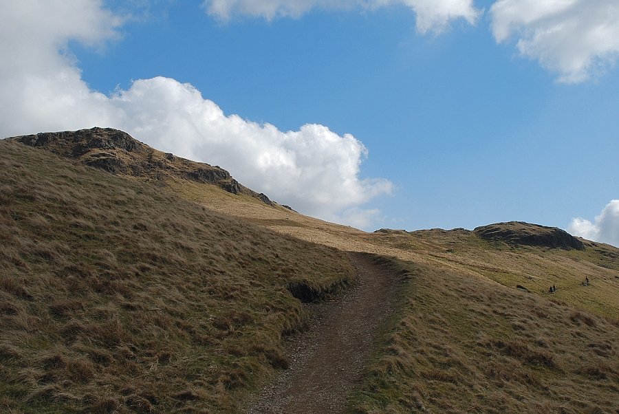
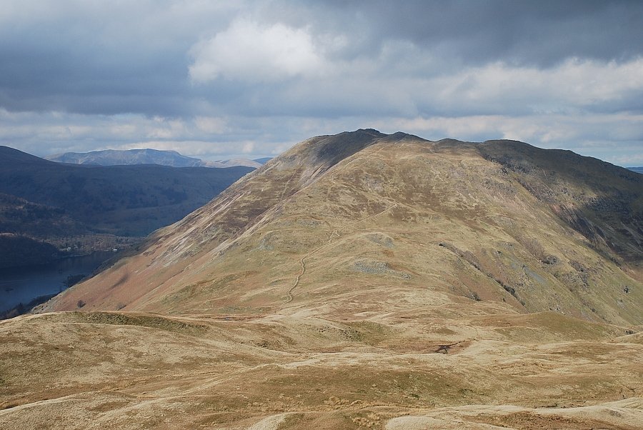
| The summit of Angletarn Pikes from the top of Dubhow Beck. The walkers are on the direct path which leads to Angle Tarn, the upper path traverses below the twin tops of Angletarn Pikes and is the one used for this ascent. The two paths eventually re-unite on the final approach to the tarn |
 |
| Traversing below the twin tops of Angletarn Pikes |
 |
| St. Sunday Crag and Helvellyn over the top of Dubhow Crag |
 |
| The summits of Gray Crag and Thornthwaite Crag come into view when it's time to leave the traversing path for the final climb to Angletarn Pikes |
 |
| Looking up to the south top of Angletarn Pikes from the start of the climb from the traversing path |
 |
| Looking down to Angle Tarn from the climb to the south top |
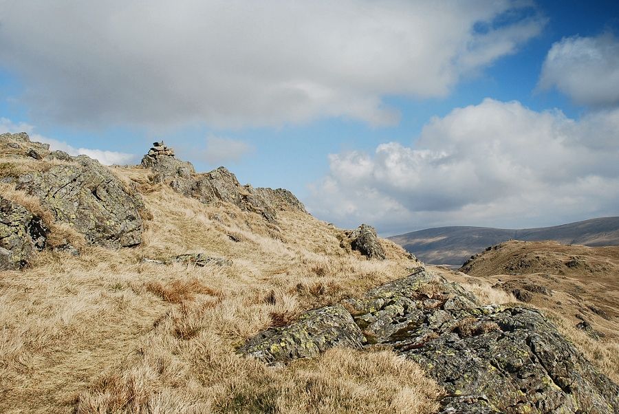 |
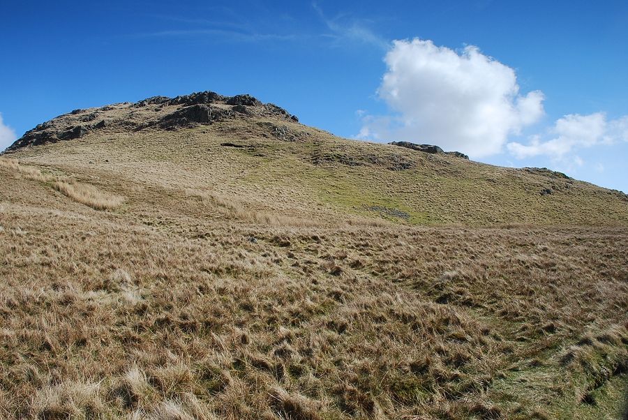
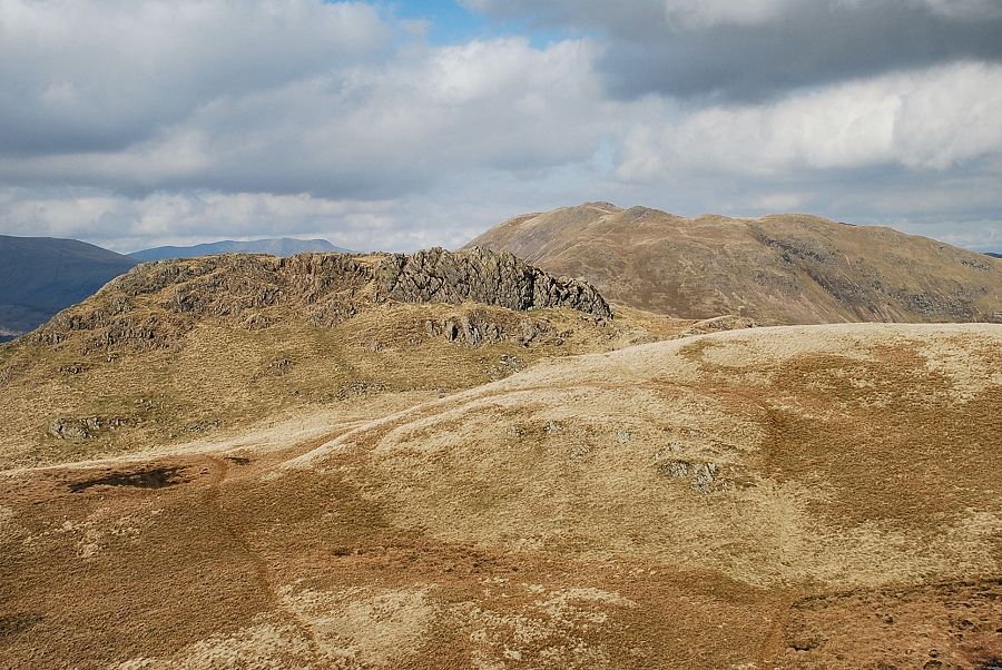
| The cairn on the south top comes into view |
 |
| The summit cairn on Angletarn Pikes south top |
 |
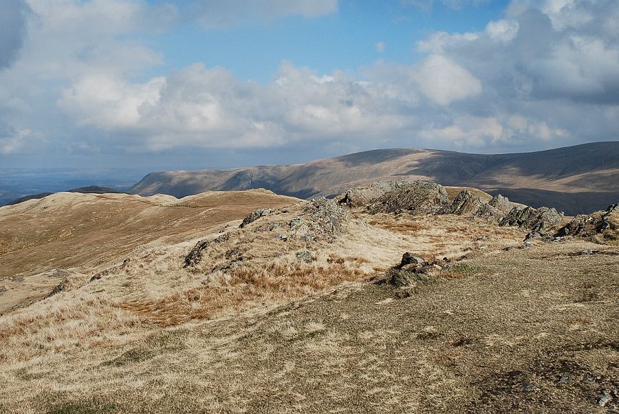
| The connecting ridge to Beda Fell |
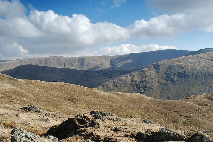 |
| Looking east to The Nab (in shadow) with Red Crag, High Raise and Rest Dodd on the horizon |
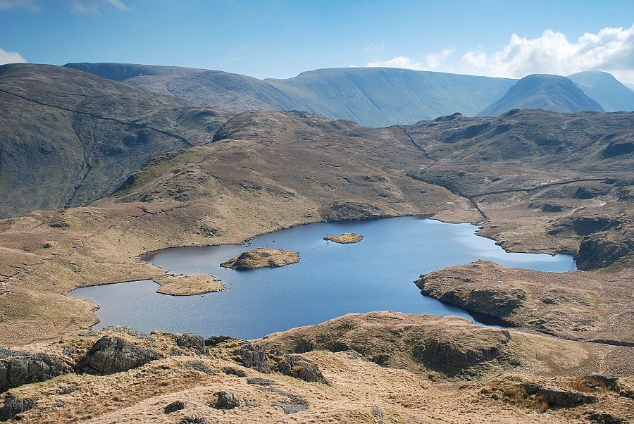 |
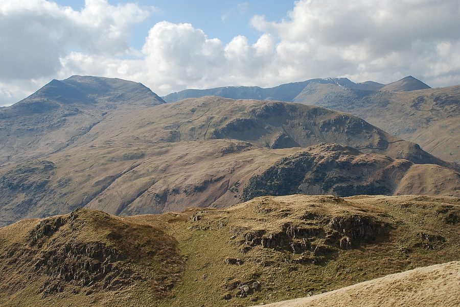
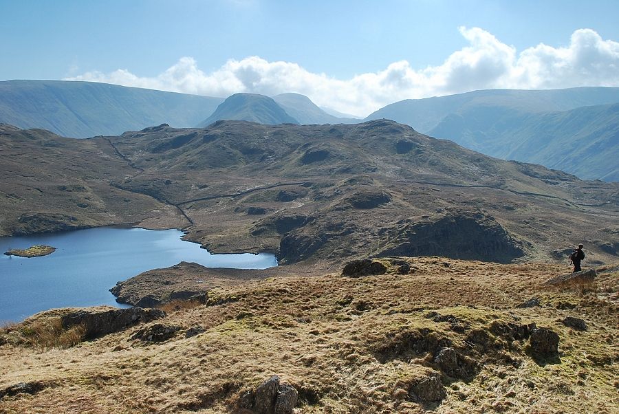
| Angle Tarn with Rampsgill Head, High Street, Gray Crag and Thornthwaite Crag on the horizon |
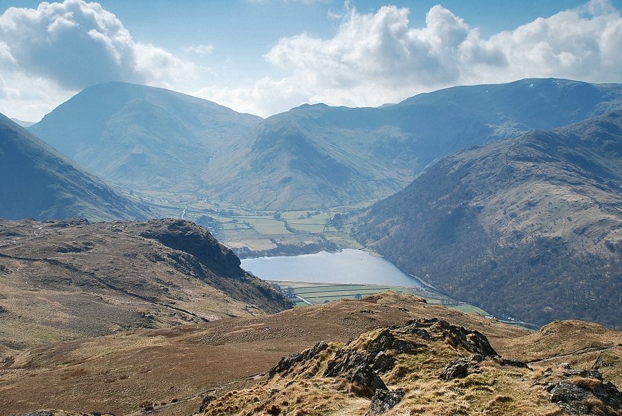 |
| Brothers Water backed by Red Screes and Little Hart Crag with Dove Crag and Hartsop above How on the right |
 |
| The view west to St. Sunday Crag, Nethermost Pike and Helvellyn |
 |
| On the horizon, Catstycam, White Side, Raise, Stybarrow Dodd, Great Dodd and Hart Side |
 |
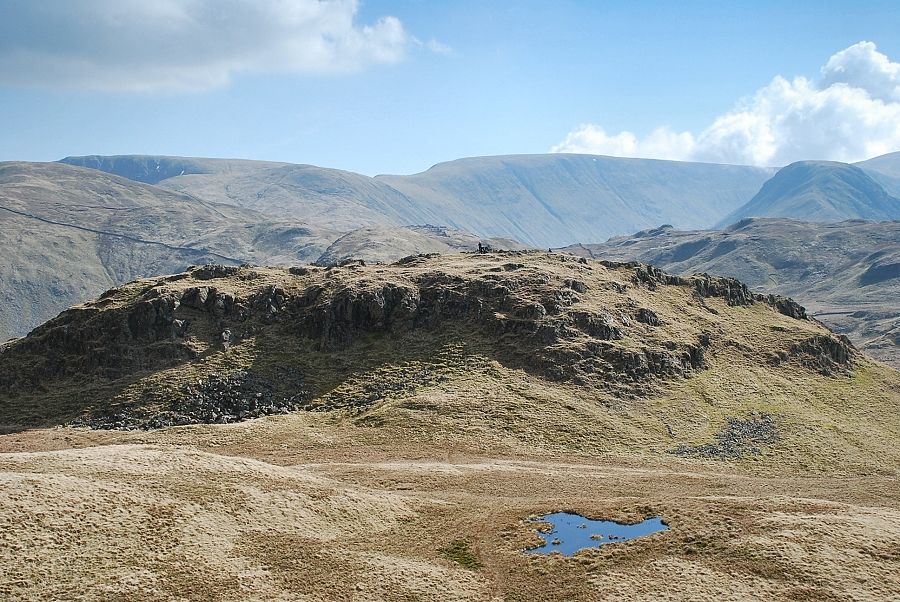
| The north top of Angletarn Pikes, which is the true summit of the fell by a mere 6ft, lies 200yards across a marshy depression |
 |
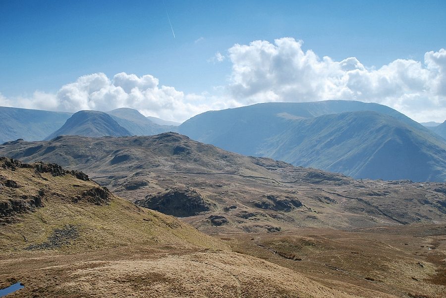
| Looking back to the south top from the north top of Angletarn Pikes. There is little to choose between each top as a viewpoint, although most people prefer the south top for its view of Angle Tarn |
 |
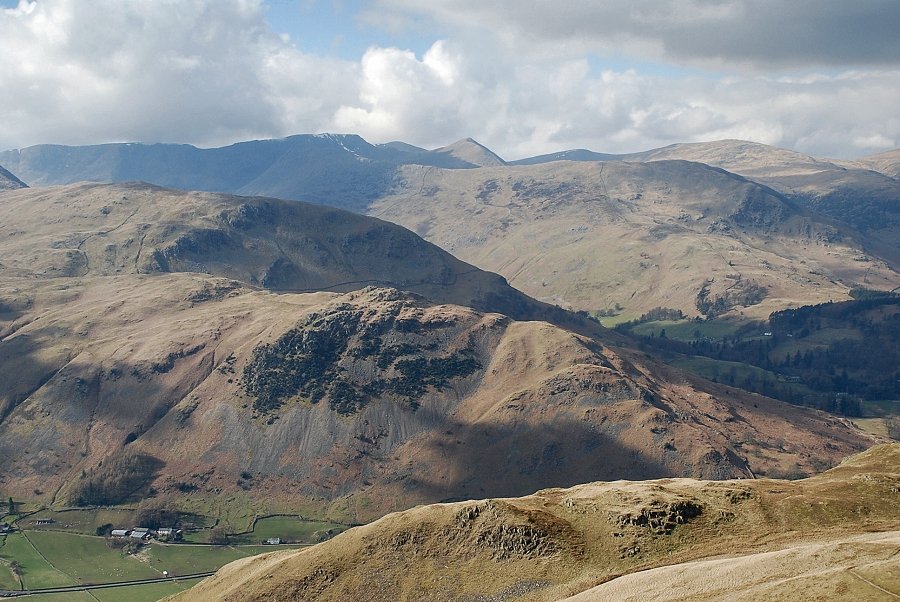
| Brock Crags in the middle distance backed by Grey Crag and Thornthwaite Crag. Hartsop Dodd and Red Screes on the right |
 |
| Brothers Water from the summit of Angletarn Pikes |
 |
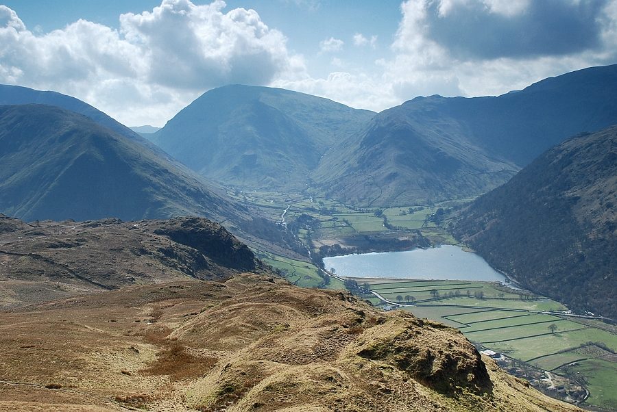
| Deepdale with Fairfield and St. Sunday Crag from the summit of Angletarn Pikes |
 |
| Helvellyn from the summit of Angletarn Pikes |
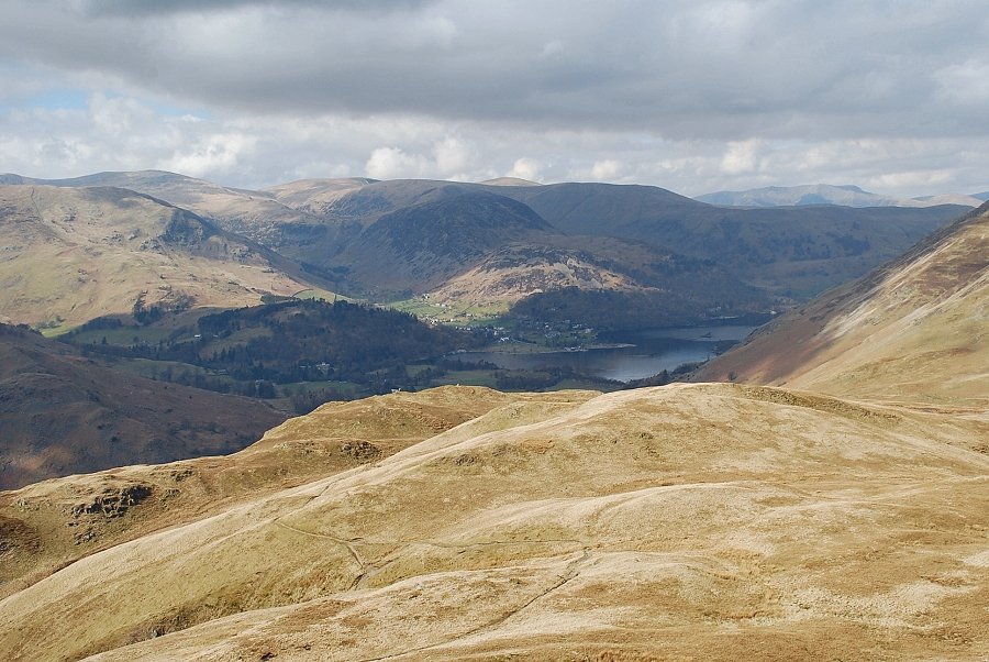 |
| The head of Ullswater from the summit of Angletarn Pikes |
 |
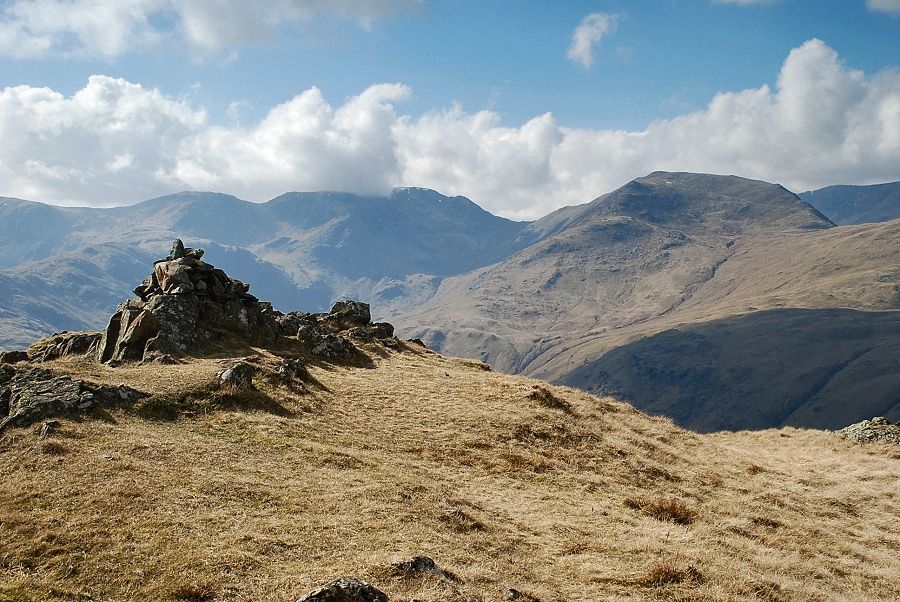
| Boredale Hause and Place Fell from the summit of Angletarn Pikes |
 |
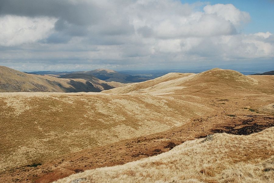
| Beda Fell in the left middle distance with Bonscale Pike and Loadpot Hill on the horizon |