 |
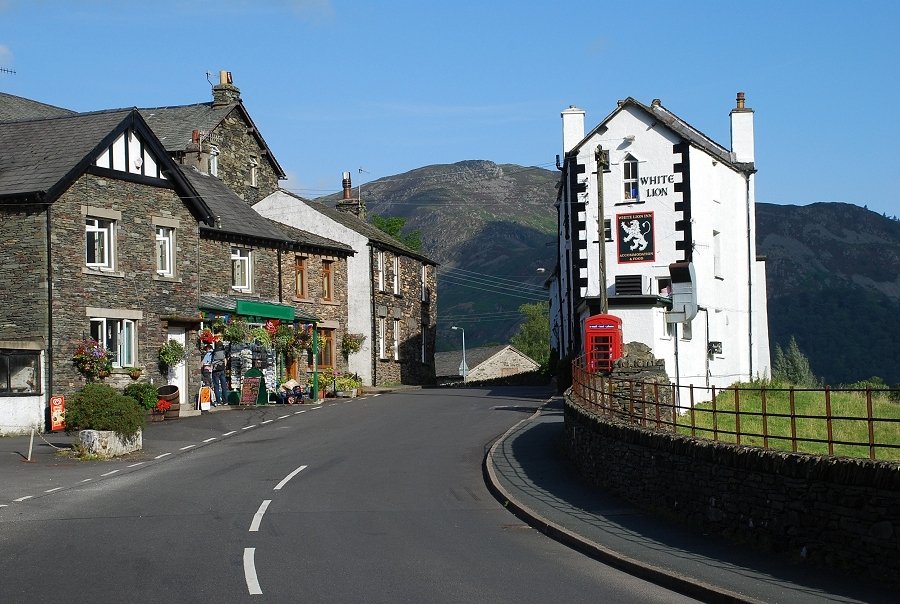
| Early morning in Patterdale village |
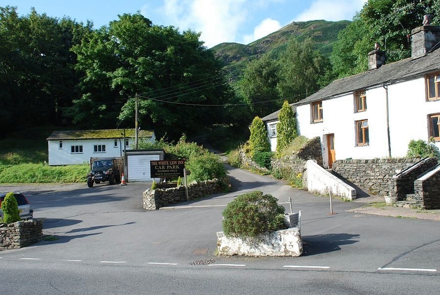 |
| The lane that runs between the White Lion Inn car park and a row of cottages is the start of the walk |
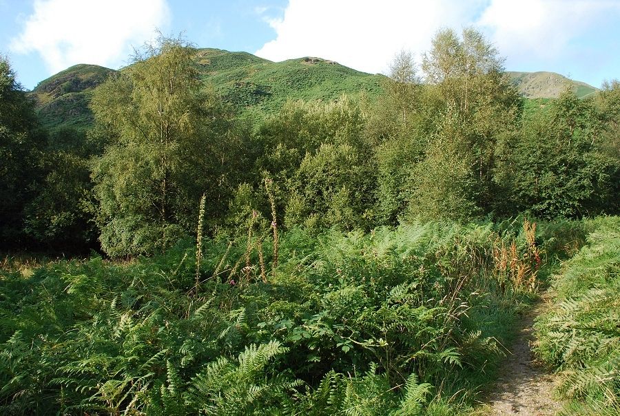 |
| The lane leads on to Mill Moss. In AW's day this was a refuse tip but it has long been reclaimed, planted with birch trees, and is now quite attractive. Arnison Crag forms the backdrop above the trees |
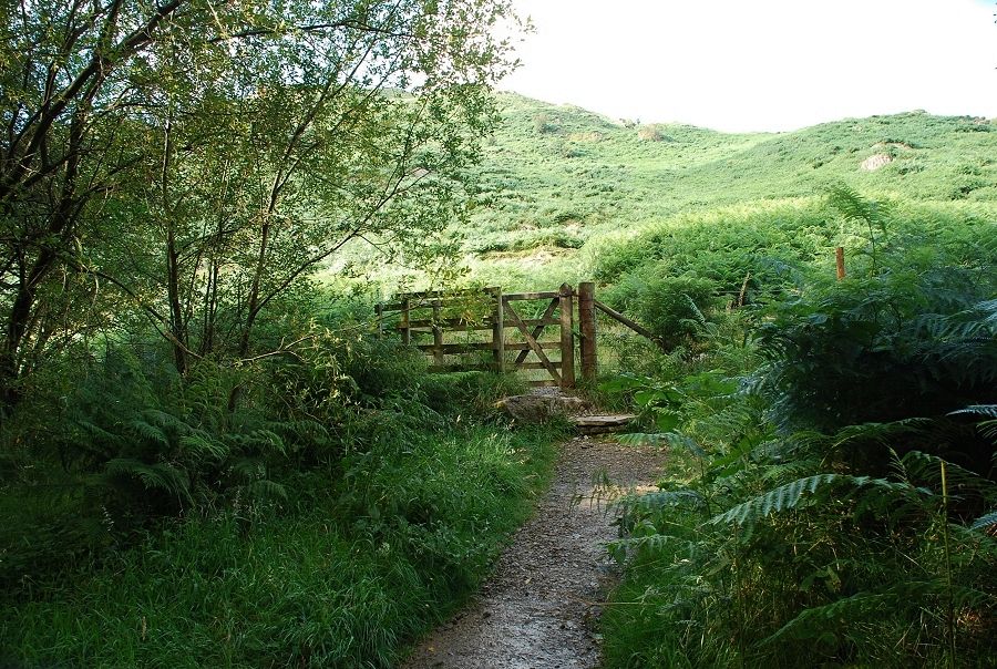 |
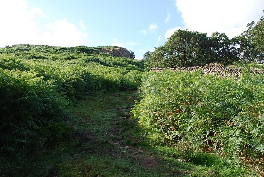
| A gate in the fence around Mill Moss gives access to the fellside and a track that skirts the northern slopes of Arnison Crag |
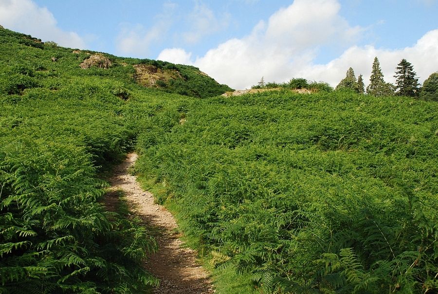 |
| It is possible, when the bracken is low, to make a direct ascent from the gate to the summit ridge, but in summer the best option is to stay on the track as it contours around the foot of the ridge |
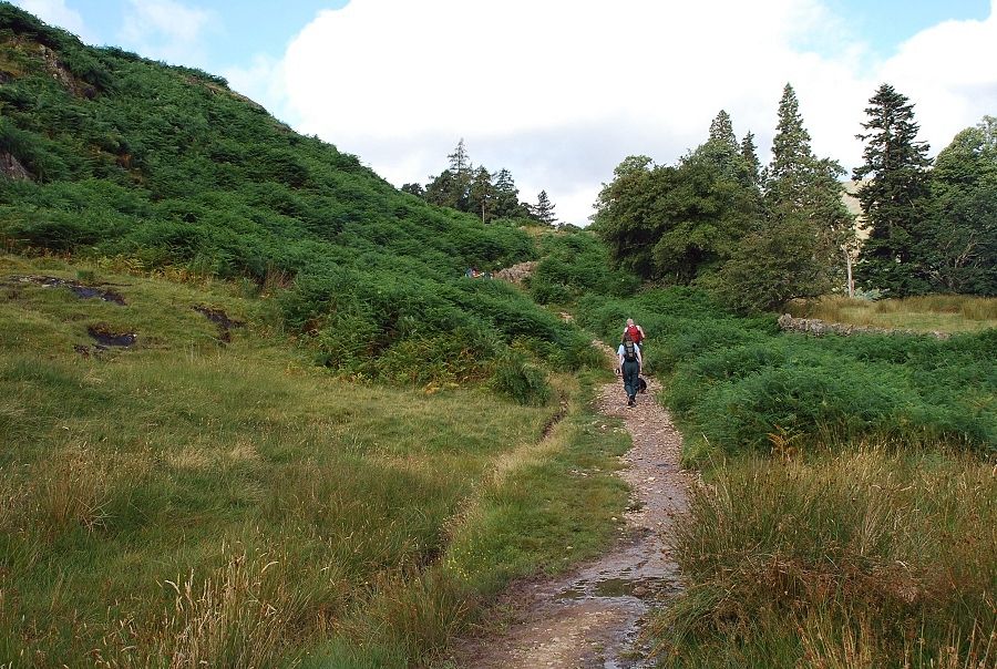 |
| The track is mainly used by walkers heading for the Grisedale valley from the southern end of the village |
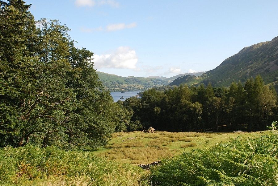 |
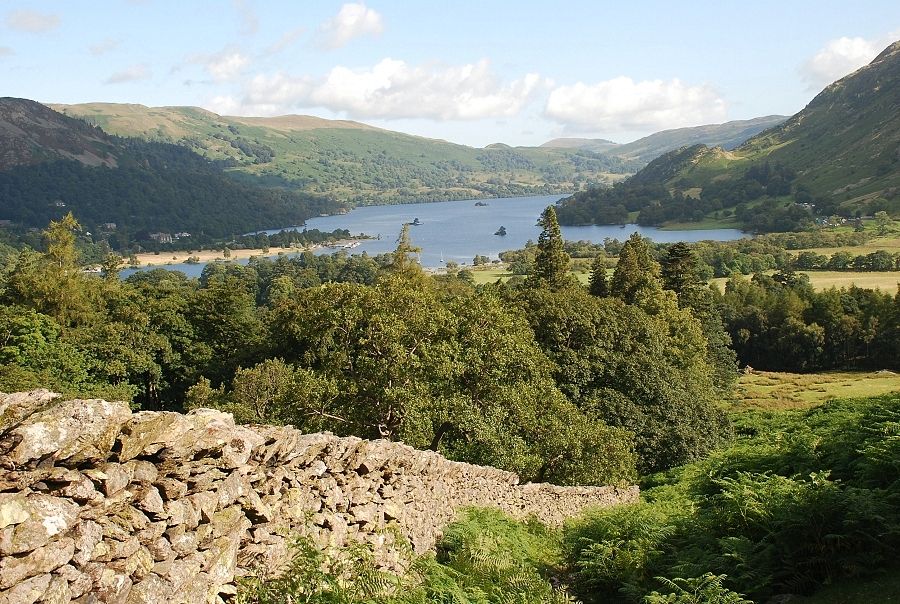
| A glimpse of Ullswater from the track |
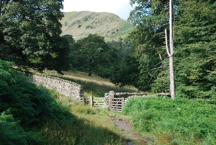 |
| The track is followed only as far as the the wall enclosing Glemara Park |
 |
| The ascent of the north ridge begins alongside the park wall heading up towards Oxford Crag |
 |
| Ullswater from the lower slopes |
 |
| Looking over the wall to Sheffield Pike across the wooded slopes of Keldas |
 |
| Ullswater from the base of Oxford Crag |
 |
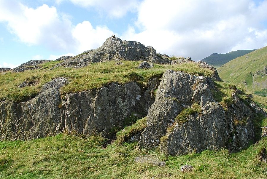
| The way ahead from the top of Oxford Crag which is easily climbed from the back and is an excellent viewpoint |
 |
| Striding Edge across Thornhow End from Oxford Crag |
 |
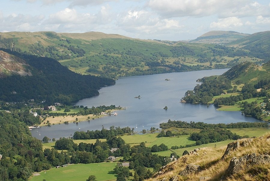
| Ullswater from Oxford Crag |
 |
| Sheffield Pike over Keldas from Oxford Crag |
 |
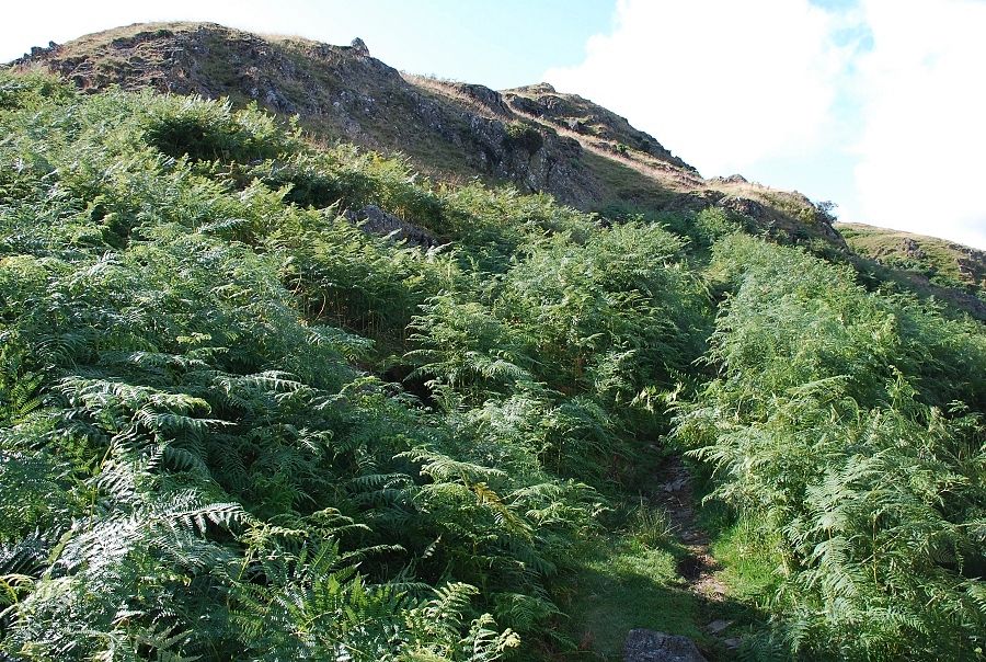
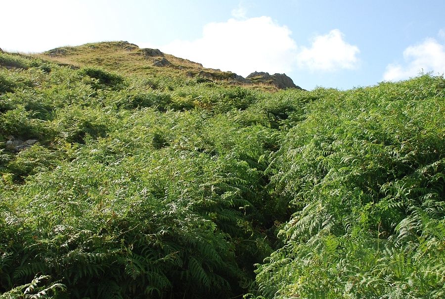
| Resuming the climb on the path which is not entirely free from the encroaching bracken |
 |
| About halfway up the climb now, the top of Oxford Crag can be seen beyond the end of the wall |
 |
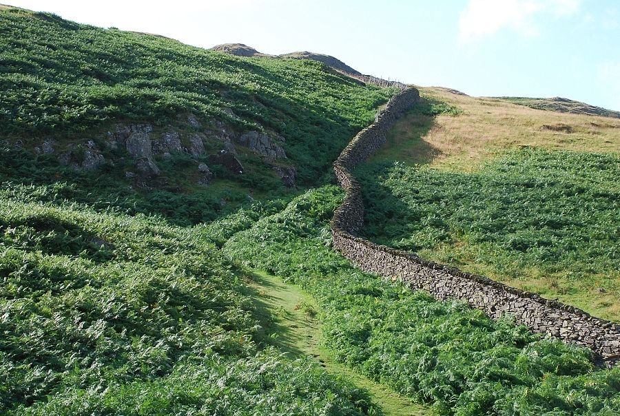
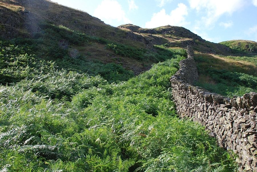
| The climb becomes steeper as the path becomes squeezed between the wall and rock outcrops |
 |
| Leave the wall where it turns and begins to contour the slope |
 |
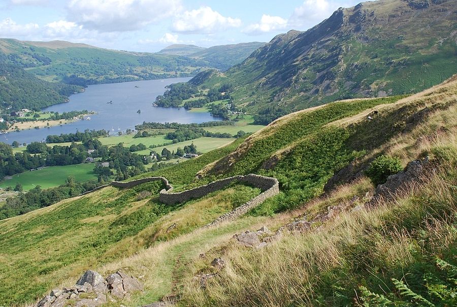
| The summit knoll appears centre right over another stretch of bracken |
 |
| The summit of Arnison Crag |
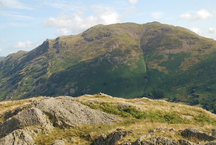 |
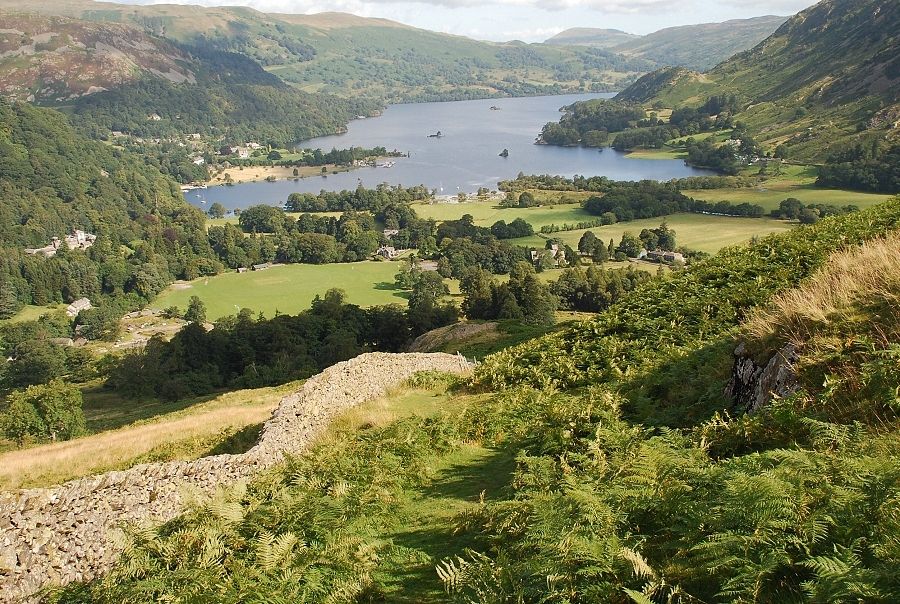
| Place Fell from the summit, the cairn in the foreground marks a better viewpoint for the Patterdale valley |
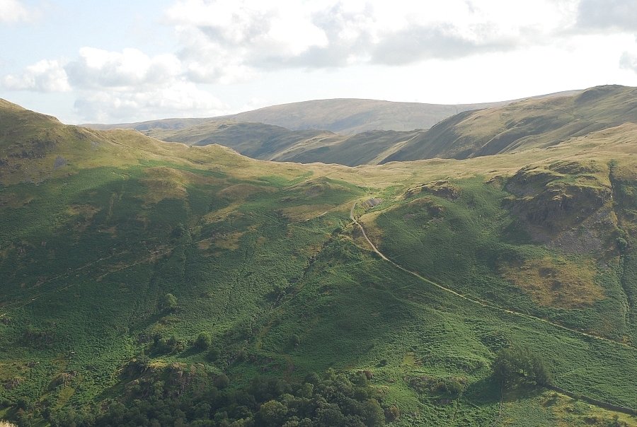 |
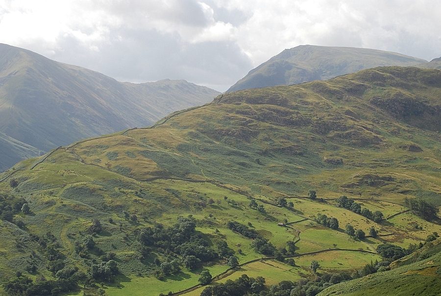
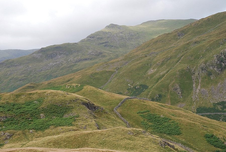
| Looking over Boredale Hause to Beda Fell and Wether Hill |
 |
| The twin tops of Angletarn Pikes |
 |
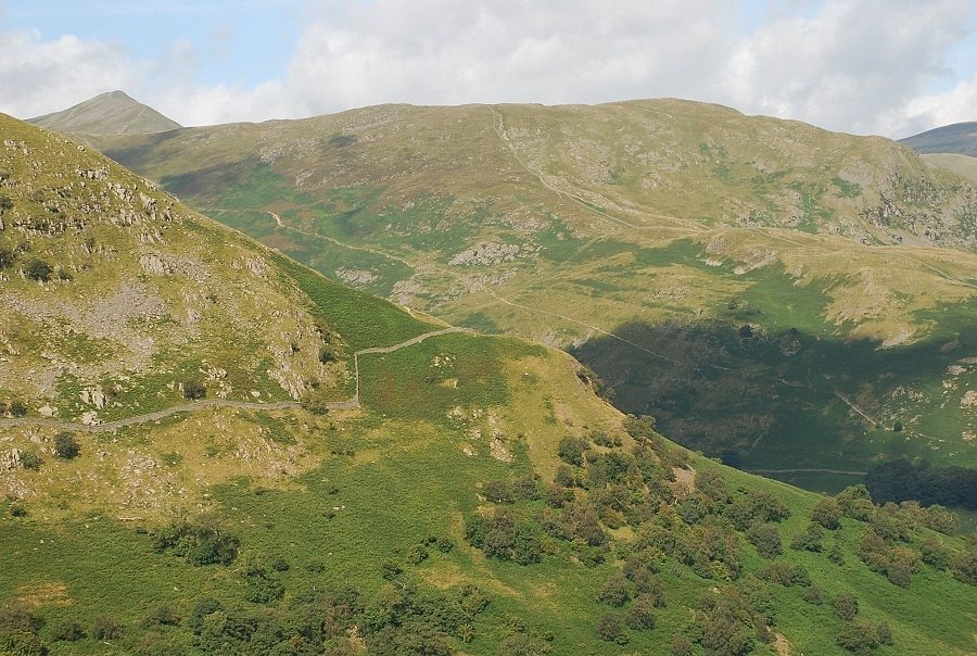
| Brock Crags across the valley, Rampsgill Head and High Street on the skyline |
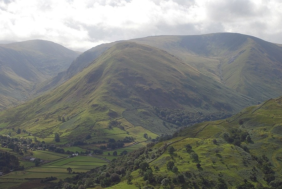 |
| Hartsop village with the steep prow of Hartsop Dodd rising above it backed by Caudale Moor |
 |
| Red Screes over the Hartsop-above-How ridge |
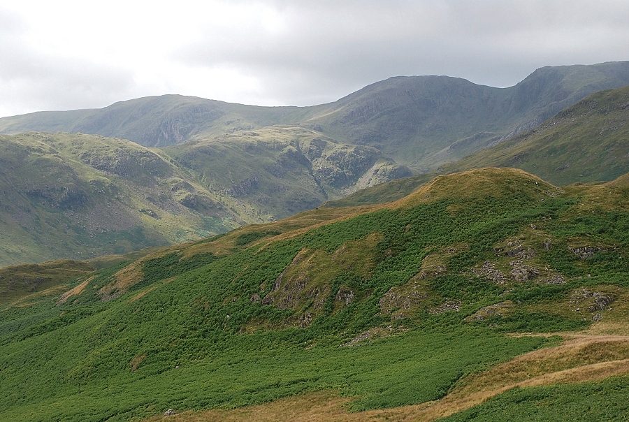 |
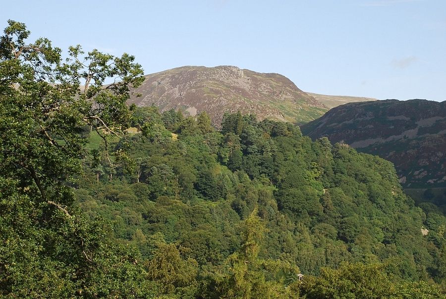
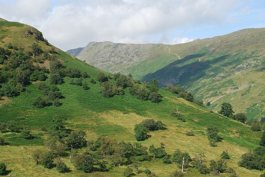
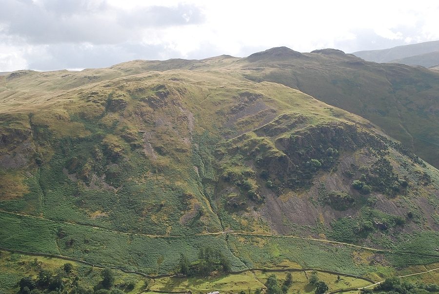
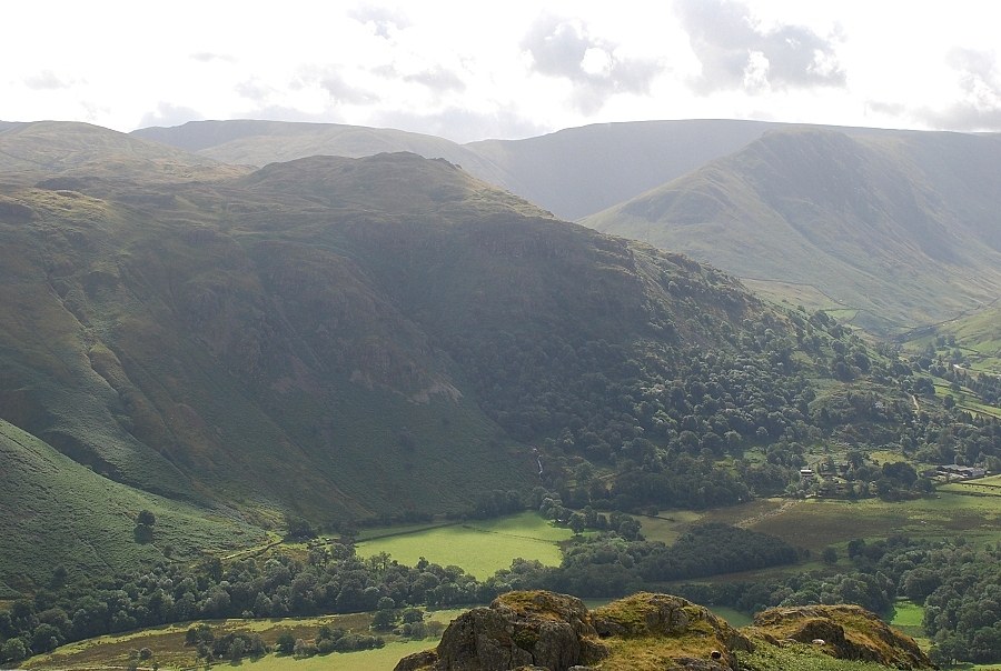
| Across Deepdale, Hartsop-above-How with Dove Crag, Hart Crag and Fairfield on the skyline |
 |
| The east ridge of St. Sunday Crag |
 |
| To the west Catstycam appears over Birkhouse Moor |
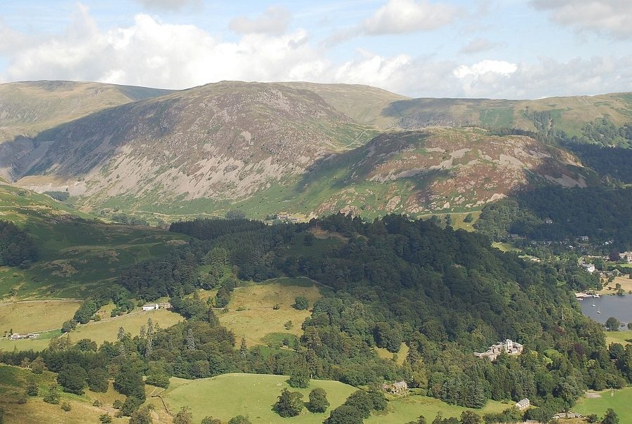 |
| Sheffield Pike and Glenridding Dodd |
 |
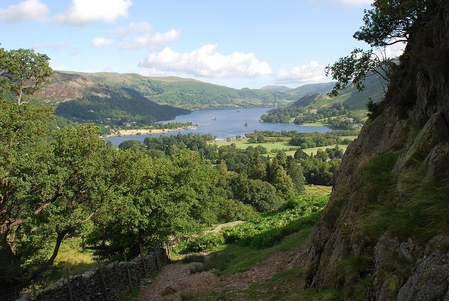
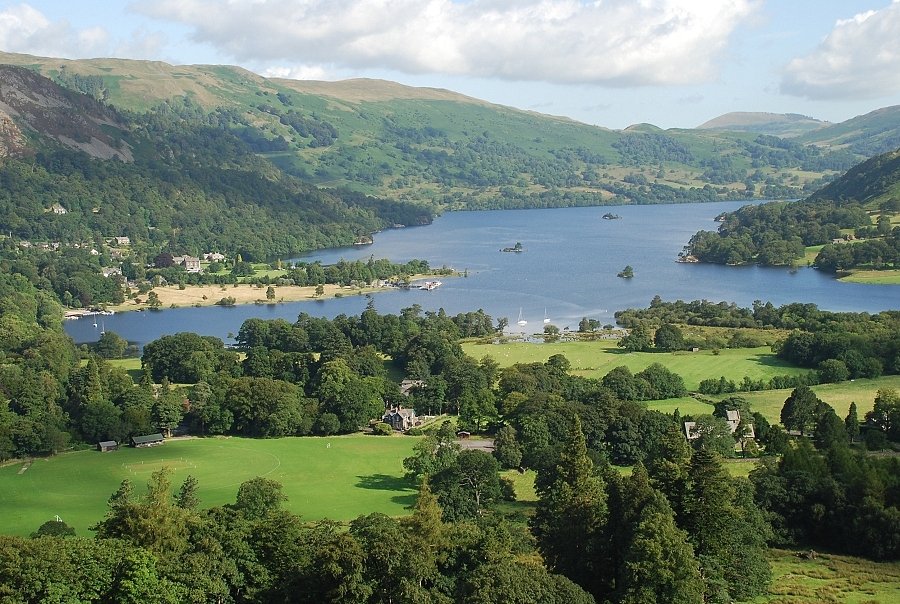
| The head of Ullswater |