 |
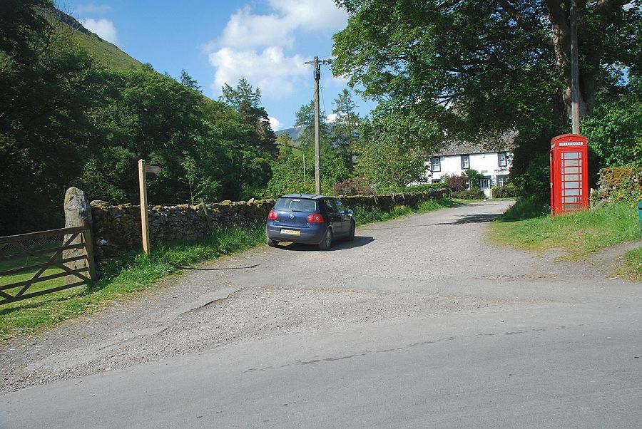
| The walk starts along the lane by the telephone box in Mungrisdale |
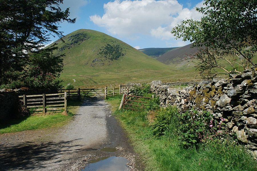 |
| At the end of the short lane a gate gives access to a rough track beside the River Glenderamackin |
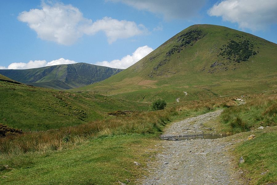 |
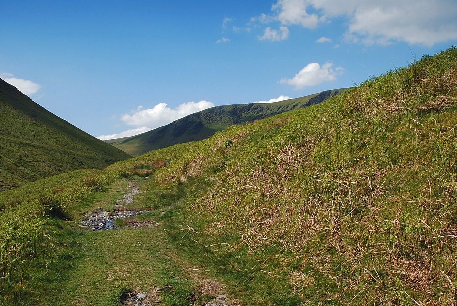
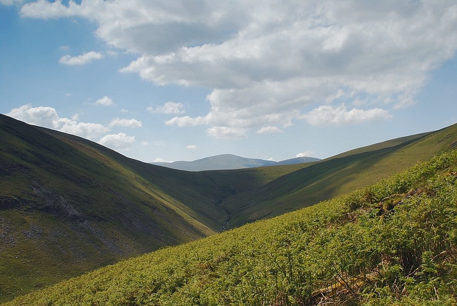
| The view ahead is dominated by The Tongue with Bannerdale Crags on the left |
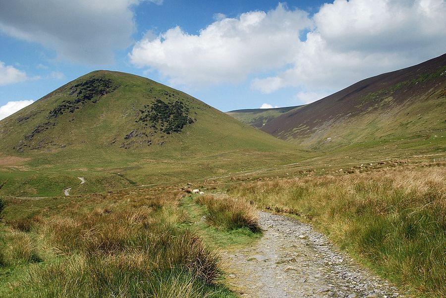 |
| To the right of The Tongue is the deeply enclosed valley of Bullfell Beck with the slopes of Bowscale Fell's east ridge on the right |
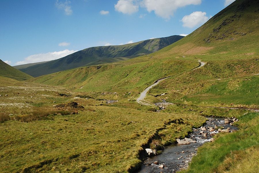 |
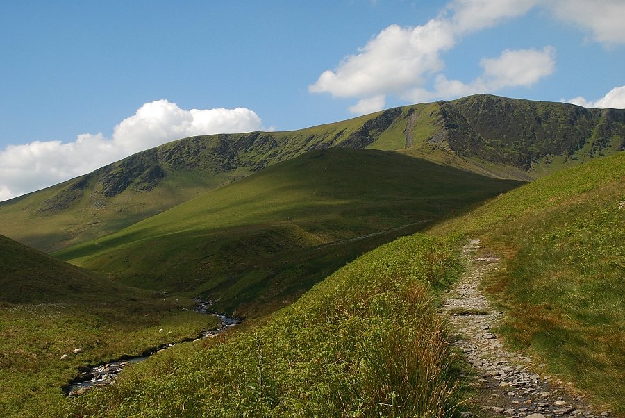
| Bannerdale Crags from the track beside the River Glenderamackin |
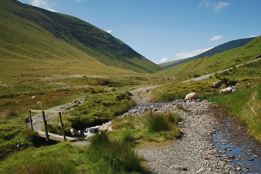 |
| The footbridge over Bullfell Beck |
 |
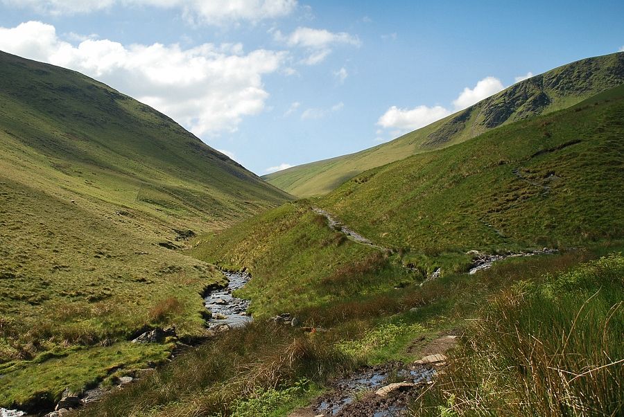
| Over the footbridge the main track continues across the southern slopes of The Tongue above Bannerdale, a less obvious path bears off to the left into the Glenderamackin valley with the steep eastern slopes of Souther Fell on the left |
 |
| Looking back to Raven Crags on the end of Bowscale Fell's east ridge |
 |
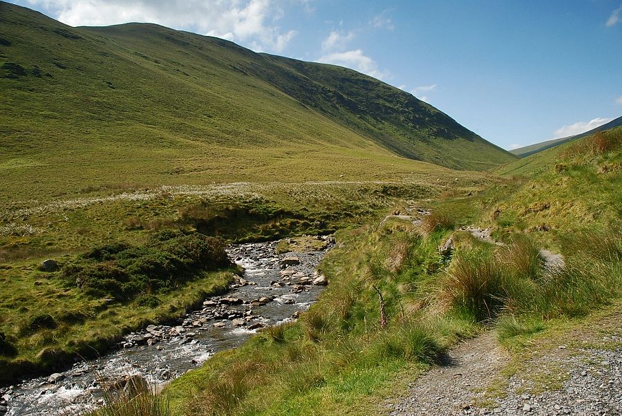
| Initially the path traverses above a steep landslip where a little care is required but it soon improves as it climbs above the river |
 |
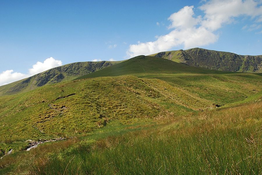
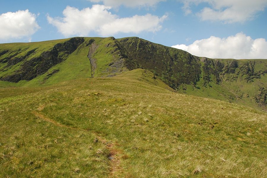
| On rounding a corner Bannerdale Crag's east ridge comes into view |
 |
| Unfortunately there is a long stretch of wet and boggy ground to negotiate as the path descends to cross Bannerdale Beck |
 |
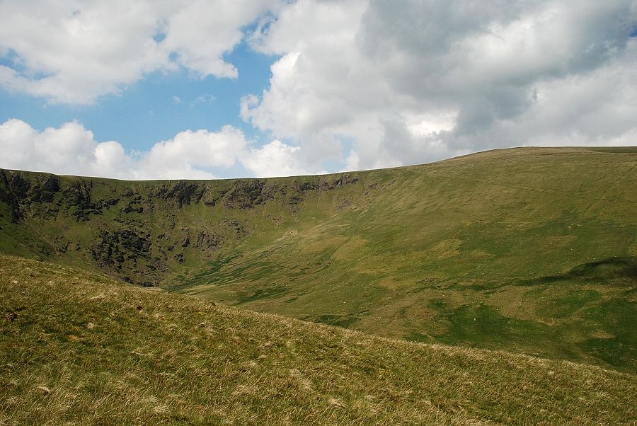
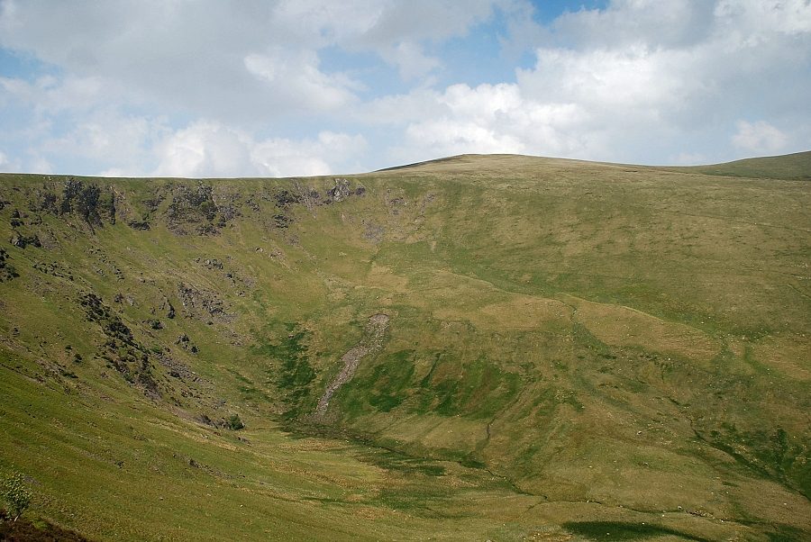
| Bannerdale Crags from Bannerdale Beck. The main path continues on alongside the River Grenderamackin while the path onto the east ridge climbs the steep bank on the other side of the beck |
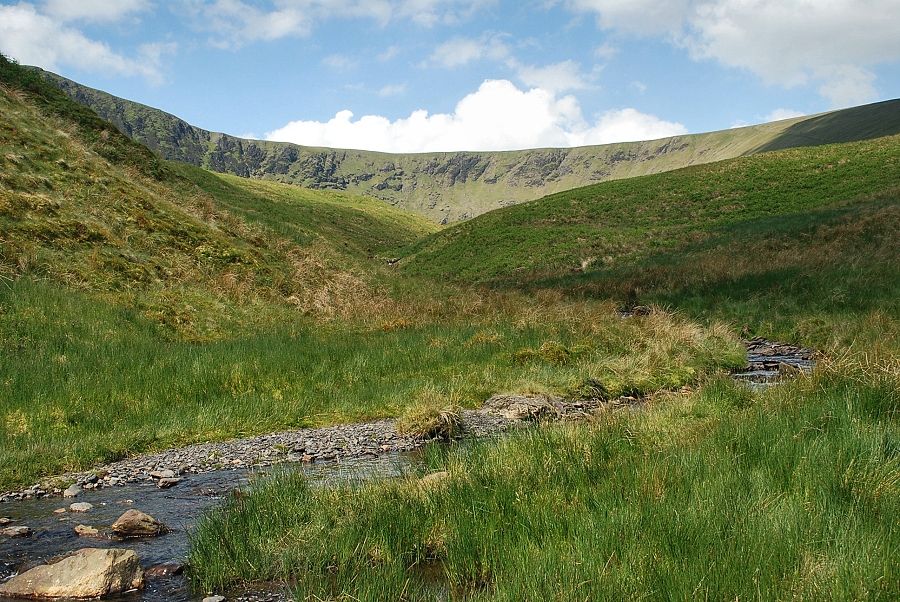 |
| Looking along Bannerdale Beck to the wide col between Bannerdale Crags and Bowscale Fell |
 |
| The foot of Bannerdale Crags east ridge |
 |
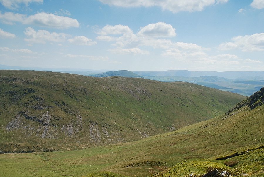
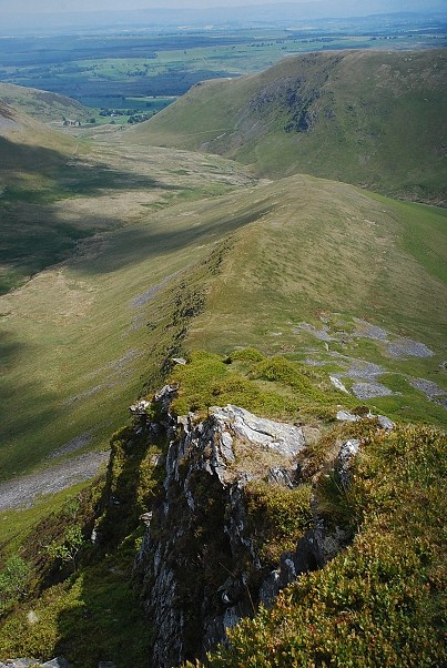
| Looking back along the lower part of the Glenderamackin valley from the foot of the east ridge |
 |
| Starting the climb up the east ridge, the first objective is to reach the rock outcrop on the horizon |
 |
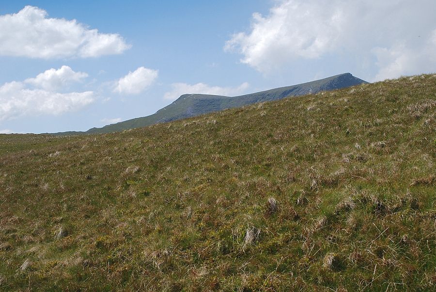
| Looking across to Great Dodd appearing over Mousthwaite col |
 |
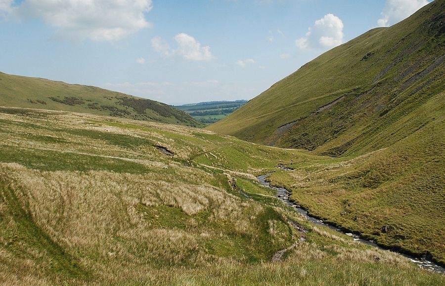
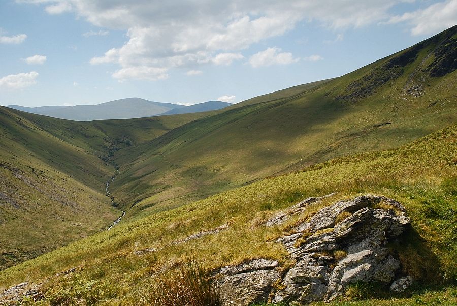
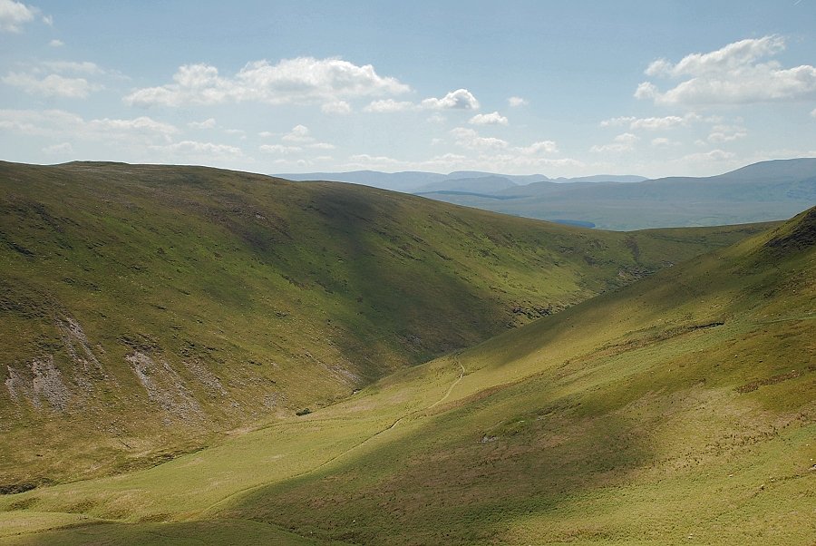
| Looking down the lower Glenderamackin valley |
 |
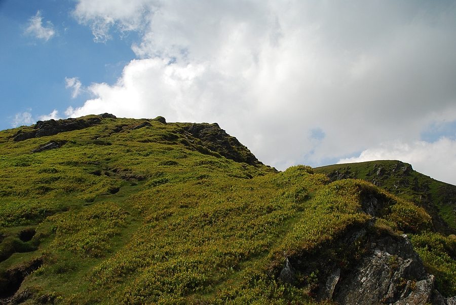
| On reaching the rock outcrop the view opens out to reveal the half mile approach to a grassy knoll below the steep rib at the end of the ridge |
 |
| Hart Side, Great Dodd and Clough Head over Mousthwaite col from the rock outcrop on the east ridge |
 |
| Looking across Bannerdale to Bowscale Fell |
 |
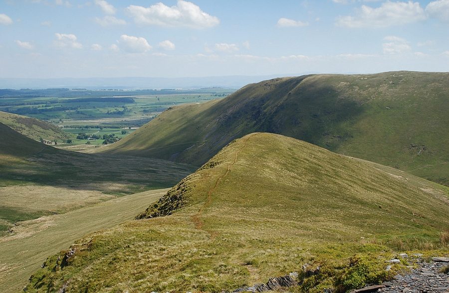
| Looking back to Souther Fell from the grassy knoll on the east ridge |
 |
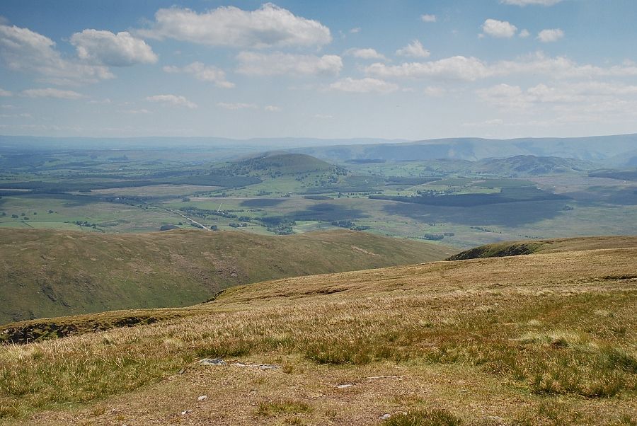
| The Far Eastern Fells of High Raise, Rampsgill Head, High Street, Thornthwaite Crag, Foswick , Ill Bell and Caudale Moor appear on the horizon over the slopes of Souther Fell and Mousthwaite col |
 |
| The head of Bannerdale from the grassy knoll on the east ridge |
 |
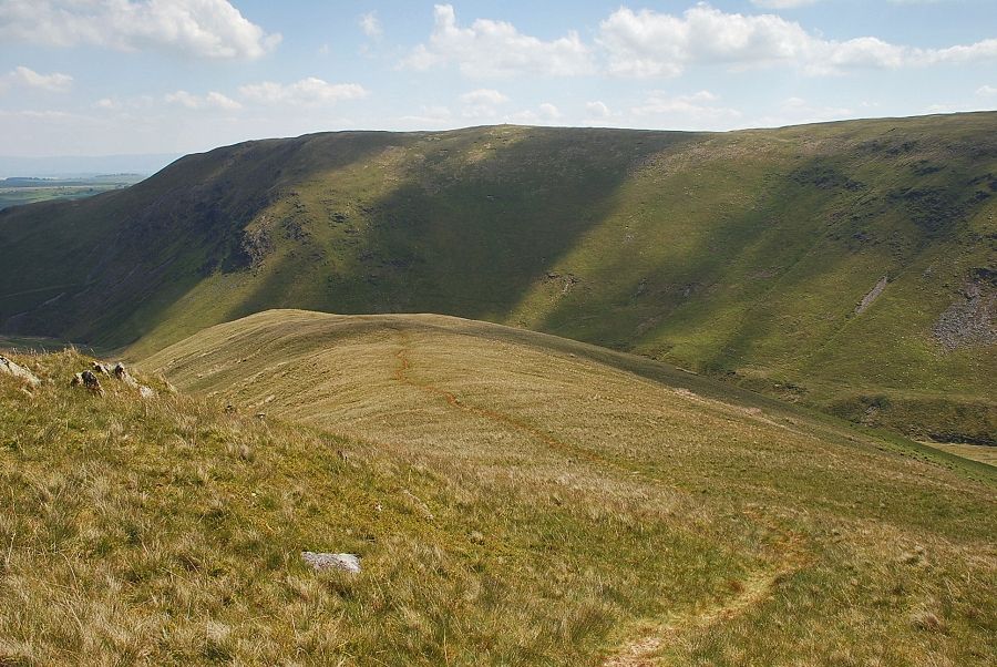
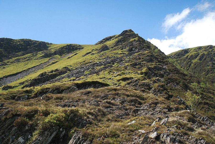
| The upper part of the east ridge |
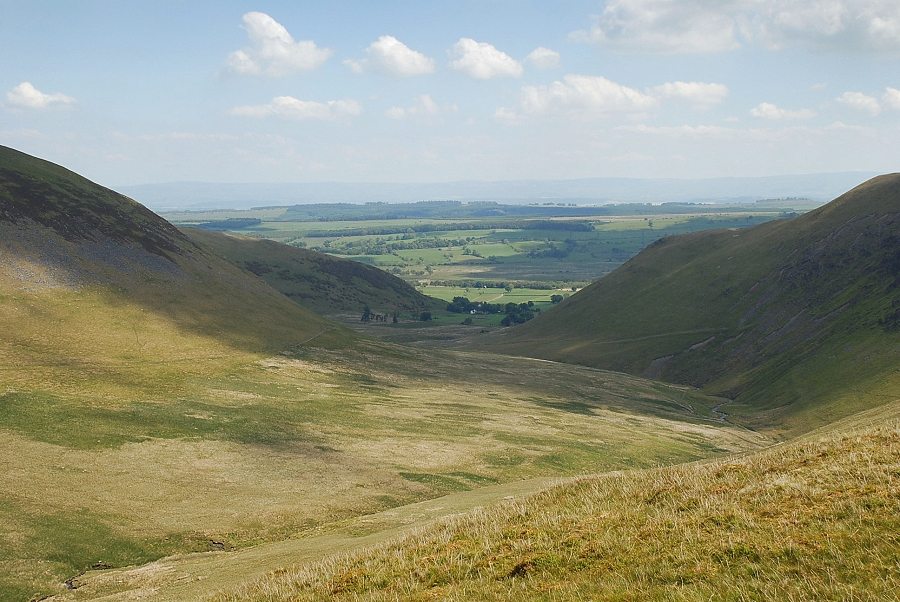 |
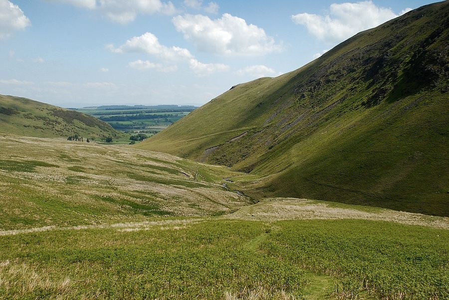
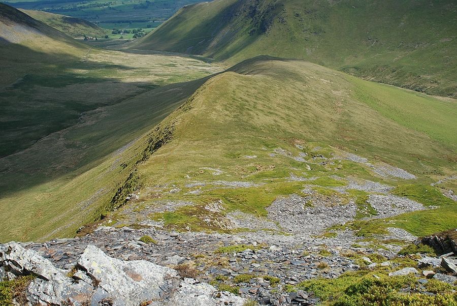
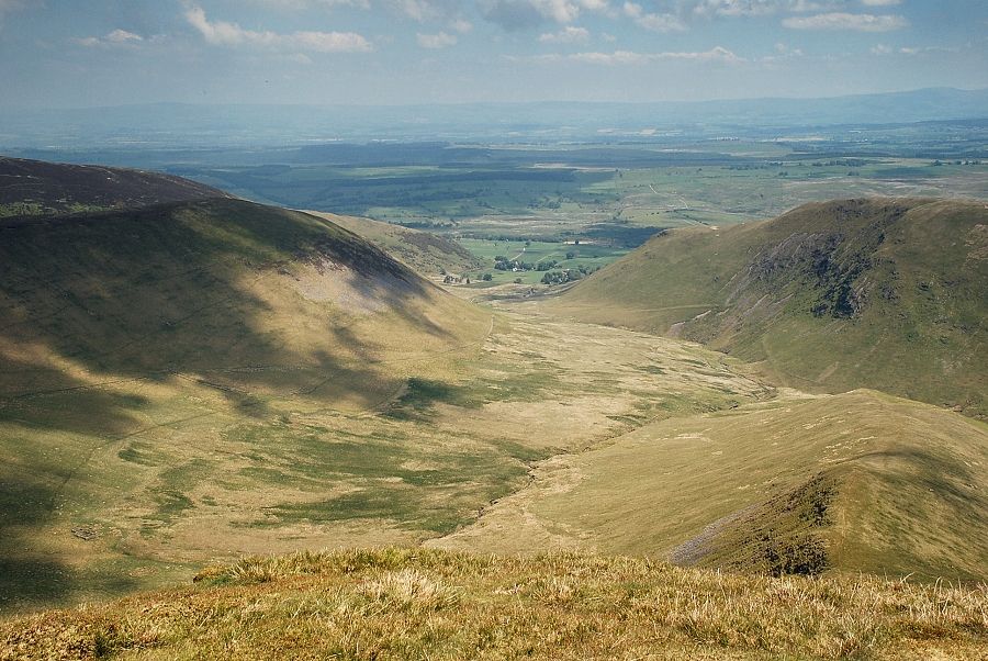
| Looking down Bannerdale to Mungrisdale and the start of the walk |
 |
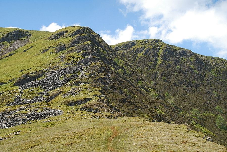
| AW described this section of the ridge as "a grand scramble in an impressive situation - a bit of real mountaineering" but it is perfectly straightforward. A clear path avoids all difficulties although, higher up, it is preferable to keep near the edge for a dramatic view down into Bannerdale |
 |
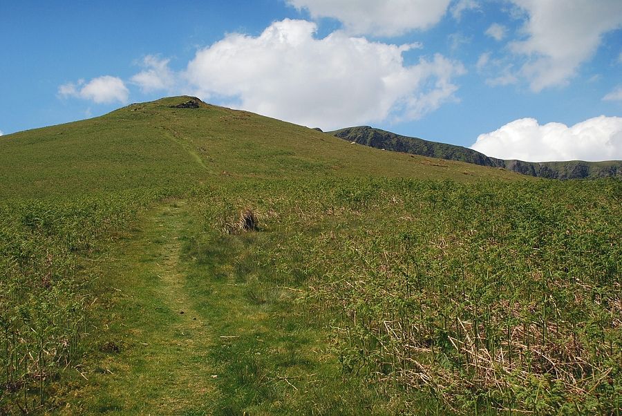
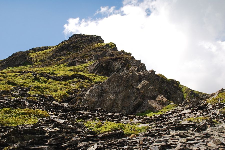
| Looking back to the grassy knoll from the start of the path up the steep rib |
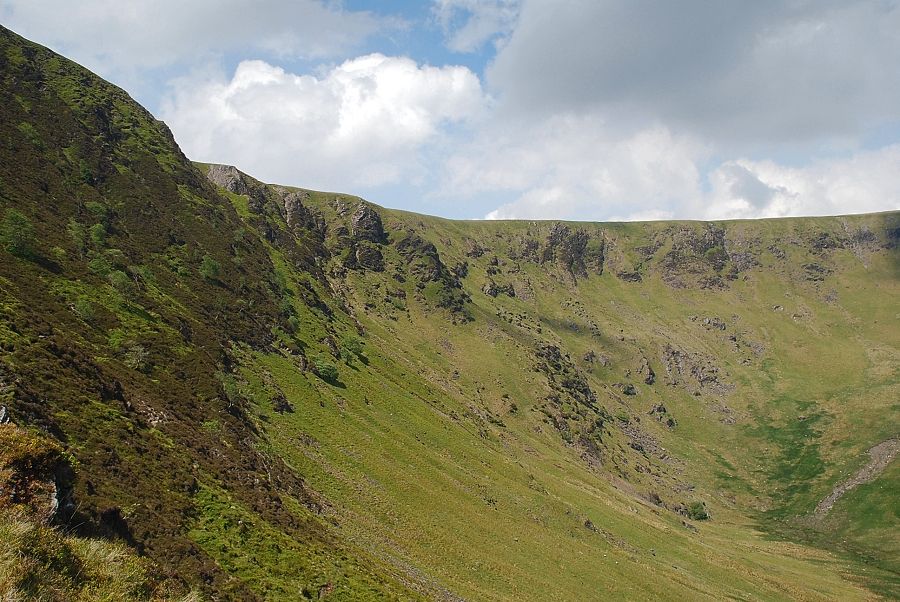 |
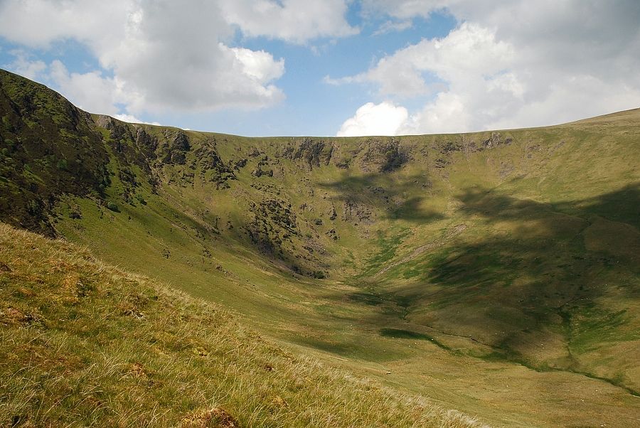
| Looking across to the steep headwall of Bannerdale |
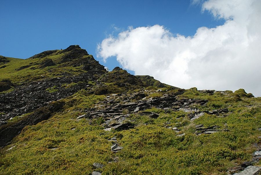 |
| Approaching the old mine workings, a walker can be seen on the skyline near the top of the ridge |
 |
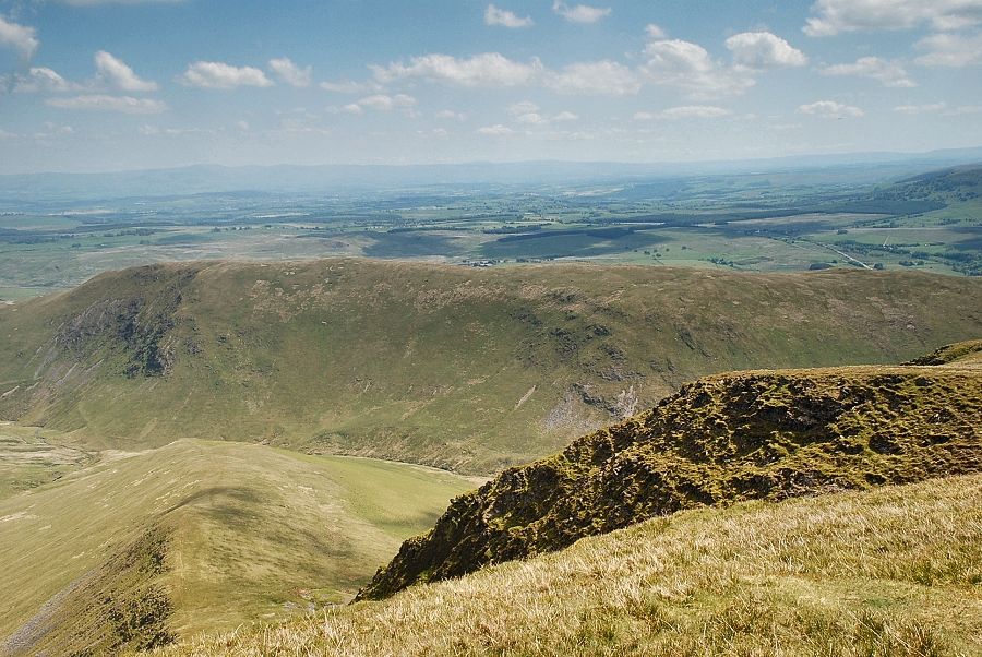
| Looking across Bannerdale to the summit of Bowscale Fell |
 |
| Great Mell Fell appears over the summit ridge of Souther Fell |
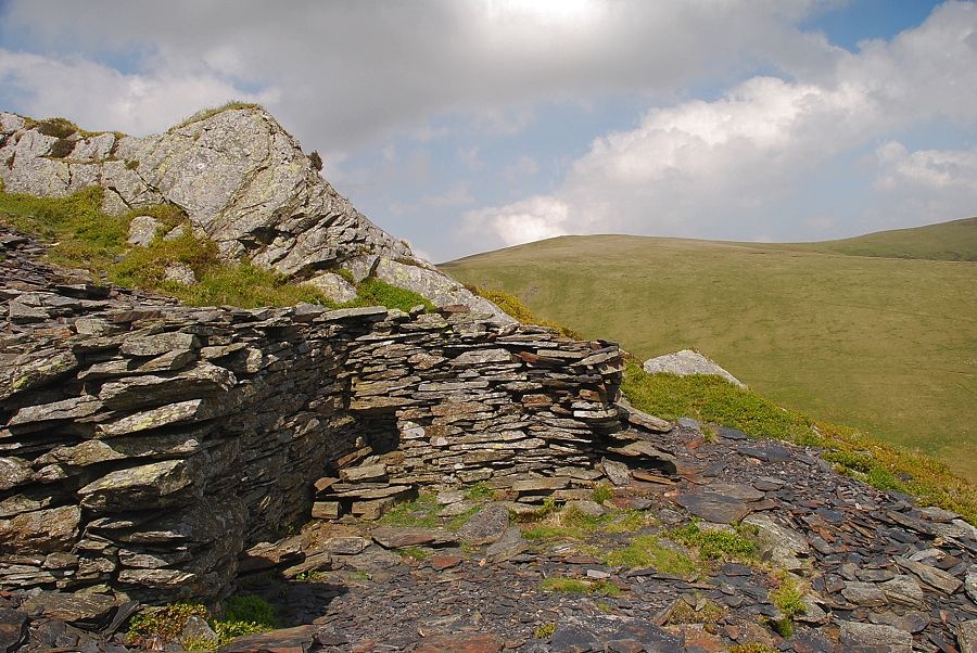 |
| Bowscale Fell from the site of the old mine |
 |
| The upper part of the east ridge from the site of the old mine |
 |
| Looking down to the lower part of the east ridge from the site of the old mine |
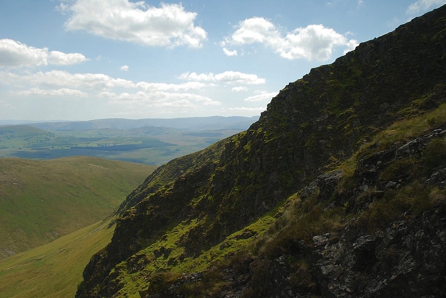 |
| Looking left along the escarpment crags |
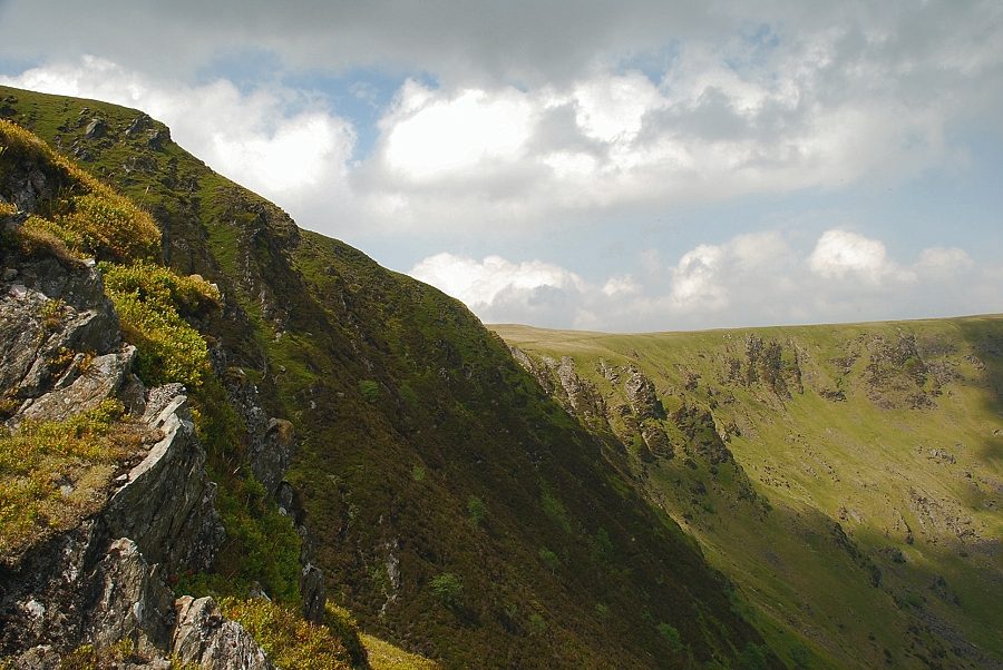 |
| Looking over to the right across the head of Bannerdale |
 |
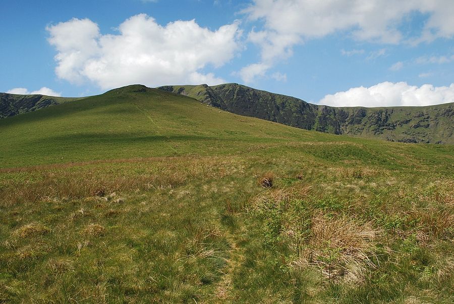
| Approaching the top of the east ridge, the summit of Bannerdale Crags is on the right |
 |
| Looking down from the top of the east ridge |
 |
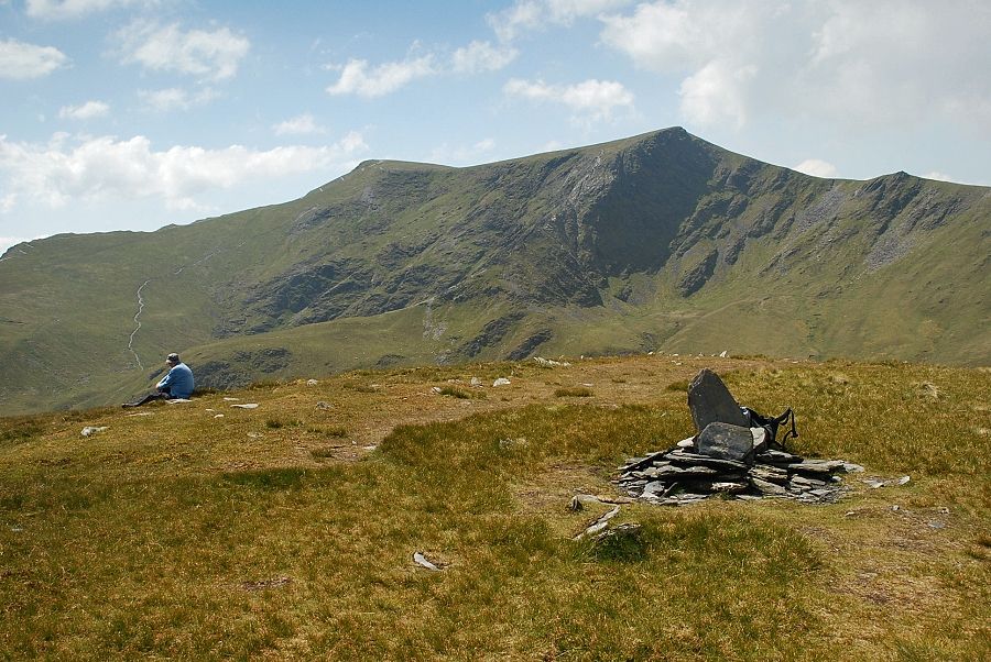
| Hall's Fell Top and Foule Crag on Blencathra appear over the summit ridge of Bannerdale Crags |
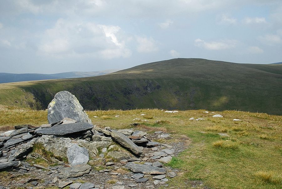 |
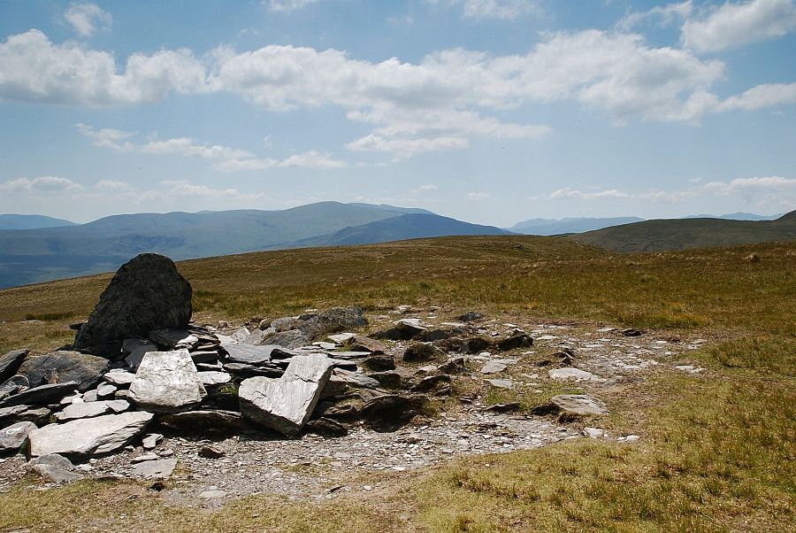
| Bowscale Fell from the main cairn on Bannerdale Crags, the highest point lies to the west, about a hundred yards back from the escarpment |
 |
| Looking north-west to Great Calva and Knott |
 |
| Bannerdale |
 |
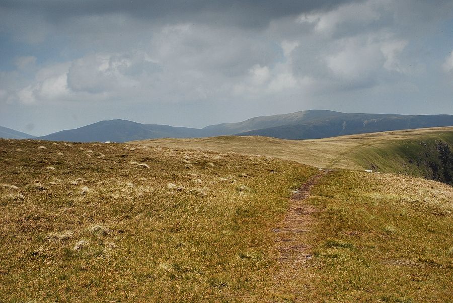
| Looking across the top of the east ridge towards Souther Fell |
 |
| Looking south-east to Great Mell Fell |
 |
| Looking due south to Clough Head, Great Dodd and Helvellyn |
 |
| Blencathra from the cairn on the highest point of Bannerdale Crags |
