 |
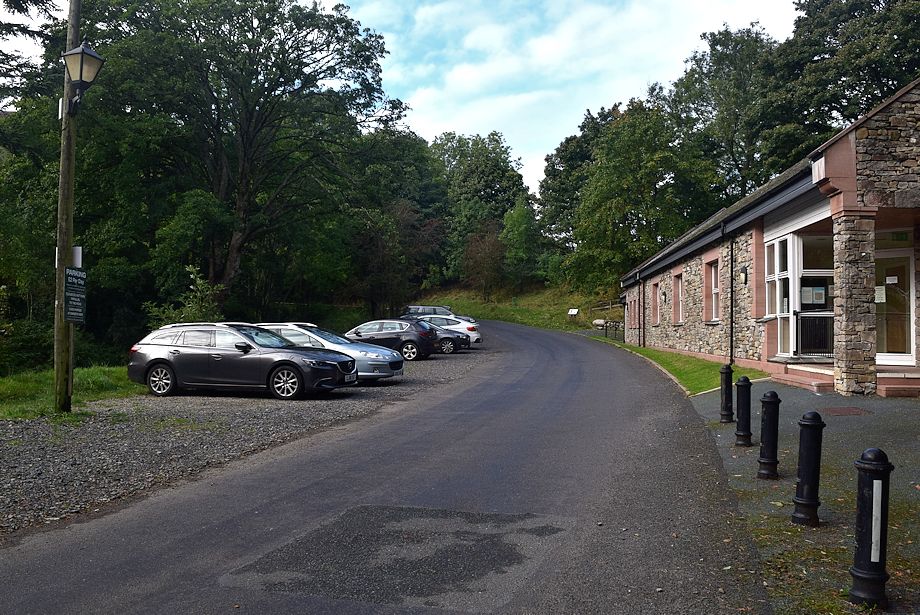
| There is parking available opposite the village hall in Mungrisdale, a small donation is requested towards the upkeep of the hall |
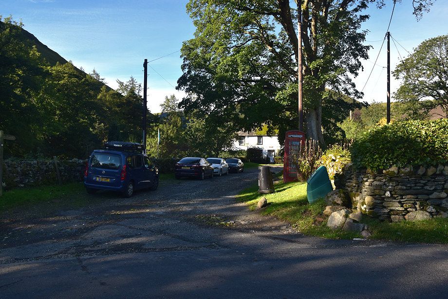 |
| A short distance past the hall there is room to park half a dozen cars in a lane by the telephone box at the start of the walk |
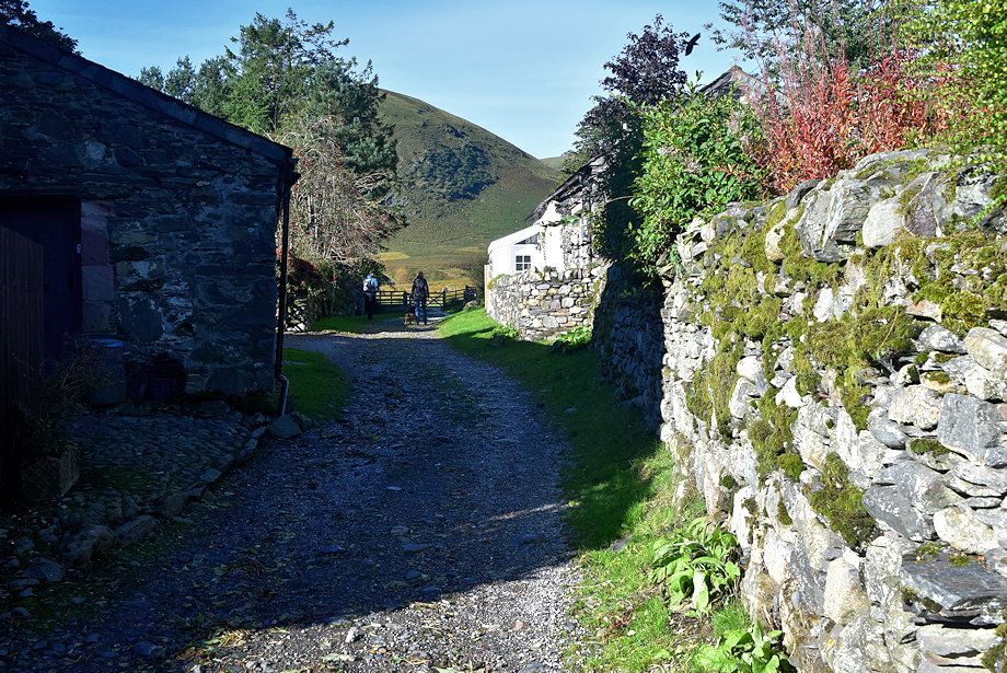 |
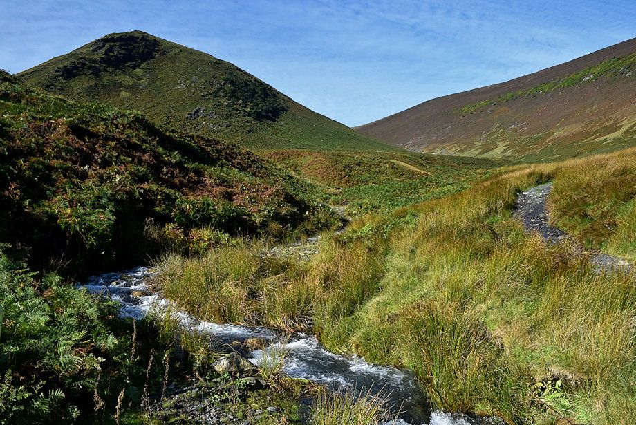
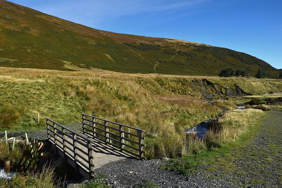
| At the end of the short lane a gate gives access to a rough track which runs alongside the River Glenderamackin |
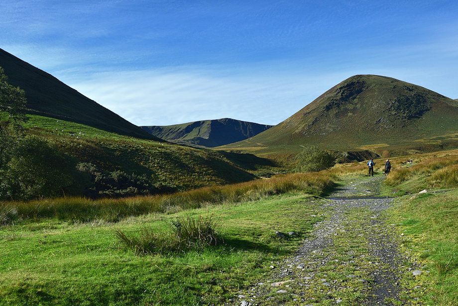 |
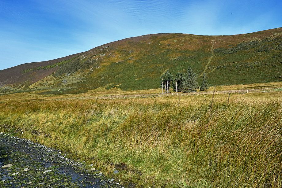
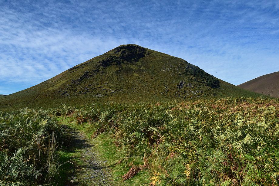
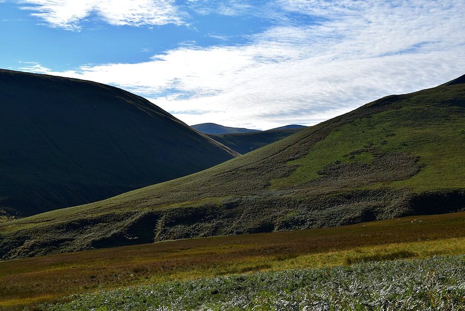
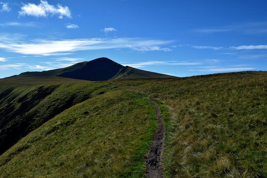
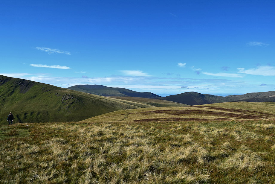
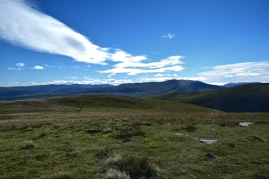
| The view ahead is dominated by The Tongue, a subsiduary ridge of Bowscale Fell |
 |
| Bowscale Fell's east ridge from the track |
 |
| Formerly the track used to descend slightly to run closer alongside the River Glenderamackin towards the footbridge over Bullfell Beck, but the path was swept away together with the footbridge during a winter storm in 2015 |
 |
| A guidepost directs walkers onto a new path |
 |
| The new inverted soil path makes a wide sweeping turn across boggy ground |
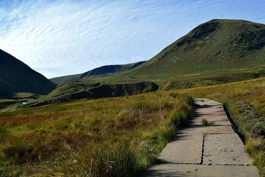 |
| As it approaches Bullfell Beck the path has been paved with thick slate slabs |
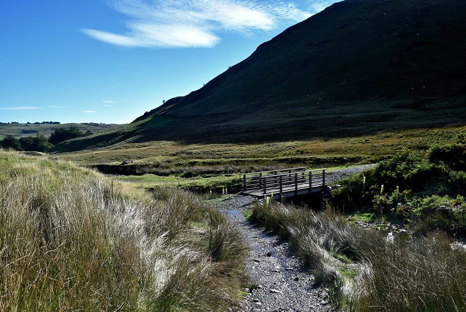 |
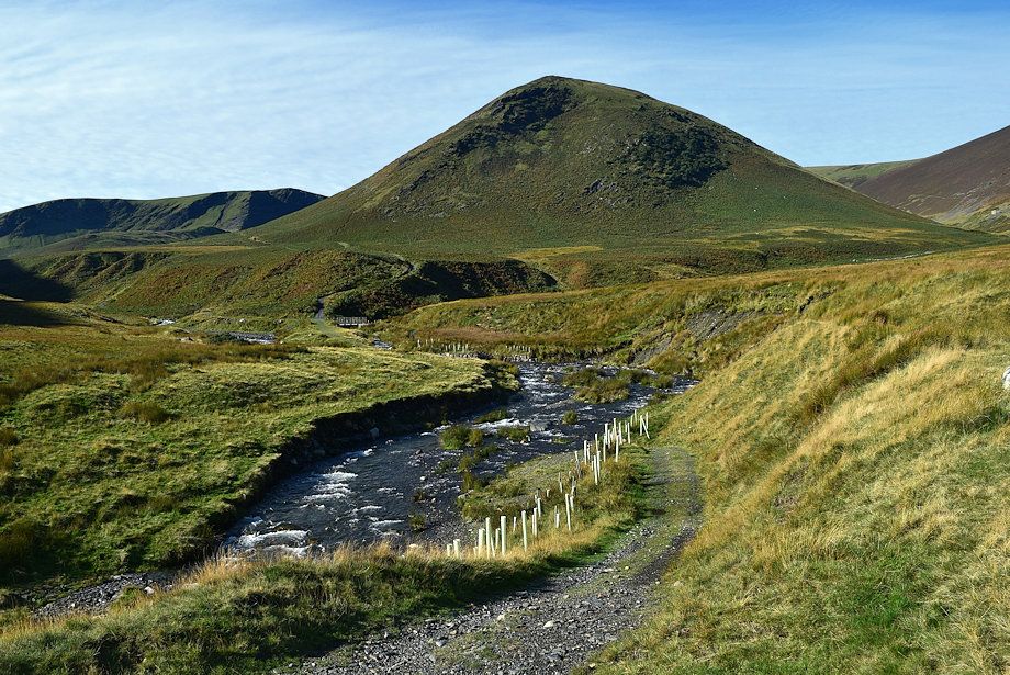
| The new footbridge over Bullfell Beck |
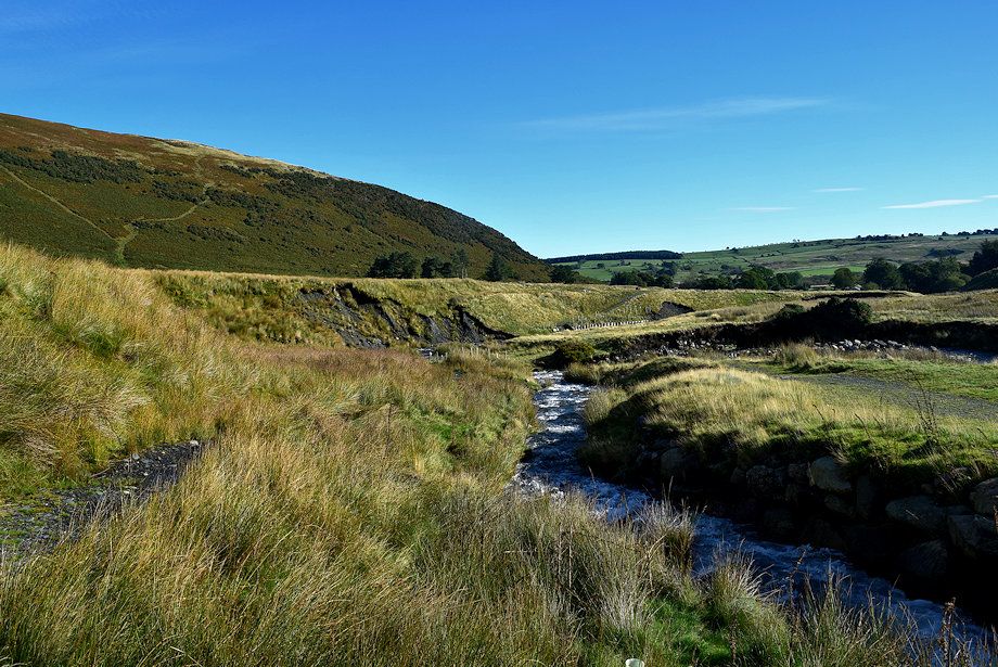 |
| The washed-out path from the new footbridge |
 |
| Bullfell Beck from the footbridge |
 |
| Bowscale Fell's east ridge from the footbridge |
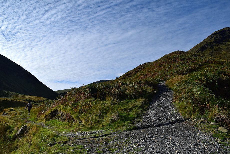 |
| The path divides above the footbridge, the way ahead lies straight ahead up a steep bank, the left branch continues alongside the River Glenderamackin |
 |
| At the top of the bank the path splits, keep to the right which is much clearer, both re-unite higher on the slope |
 |
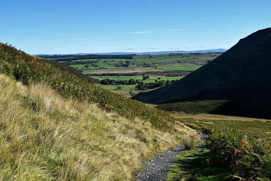
| Looking back to Mungrisdale |
 |
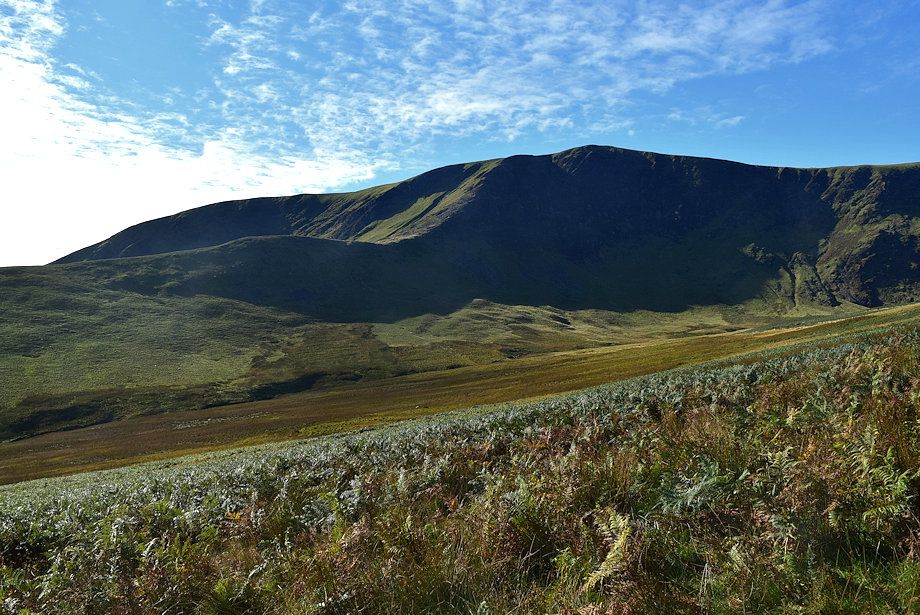
| The Tongue |
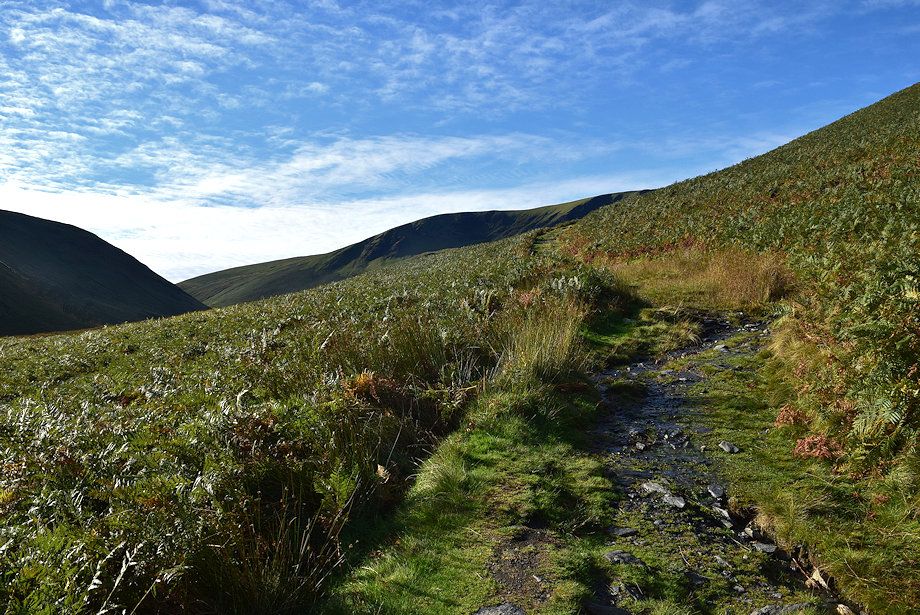 |
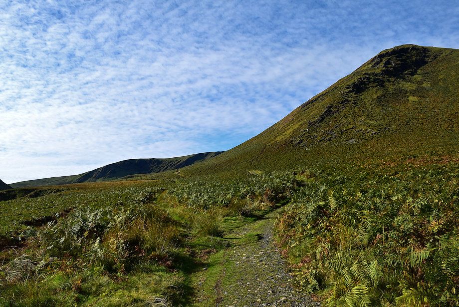
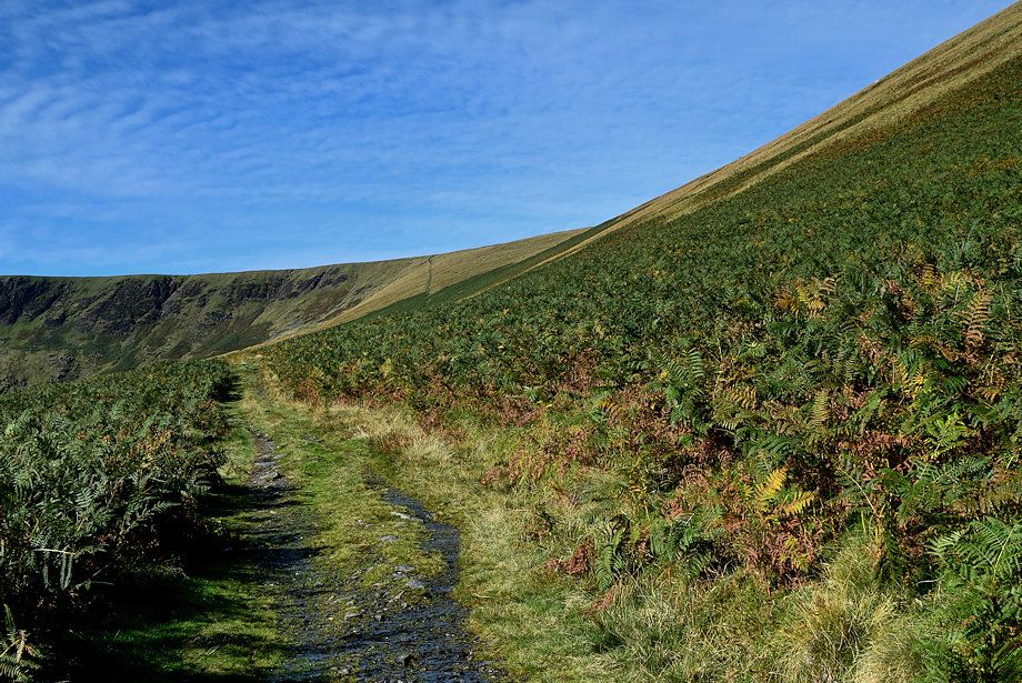
| The path gradually climbs around the south-eastern slopes of The Tongue |
 |
| Bannerdale Crags comes into view |
 |
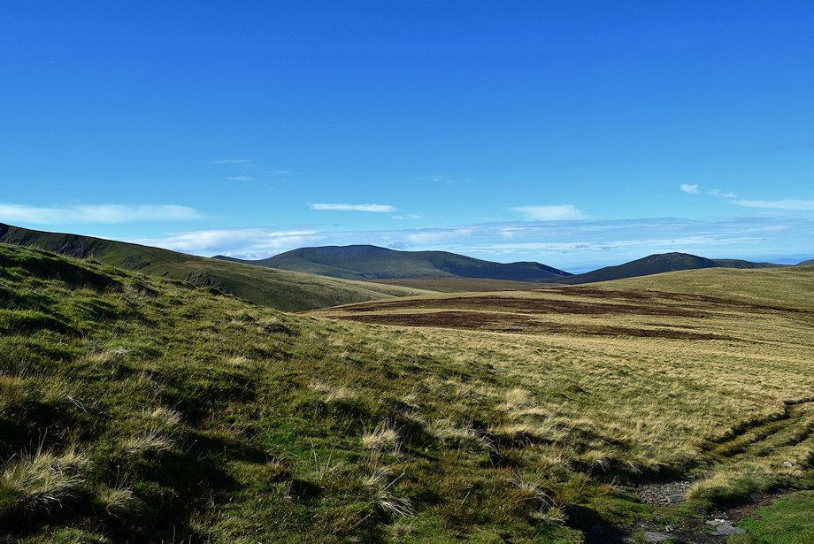
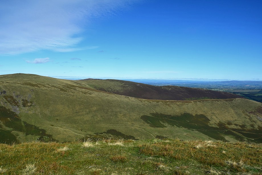
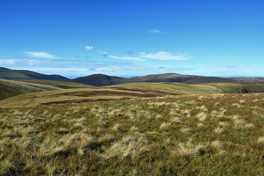
| Looking back to the Pennines on the horizon |
 |
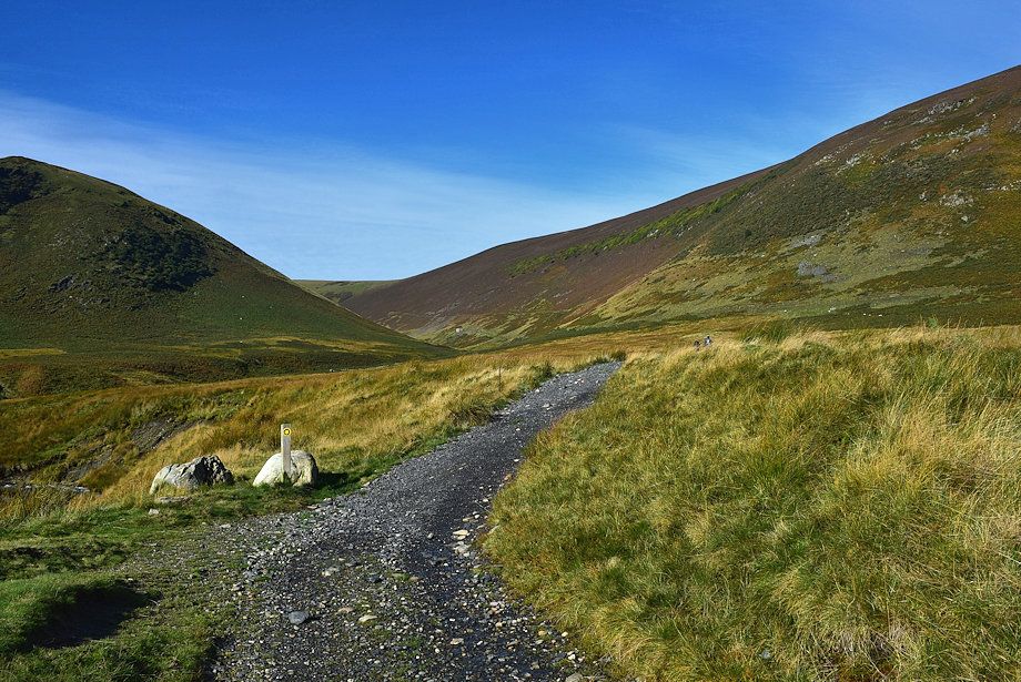
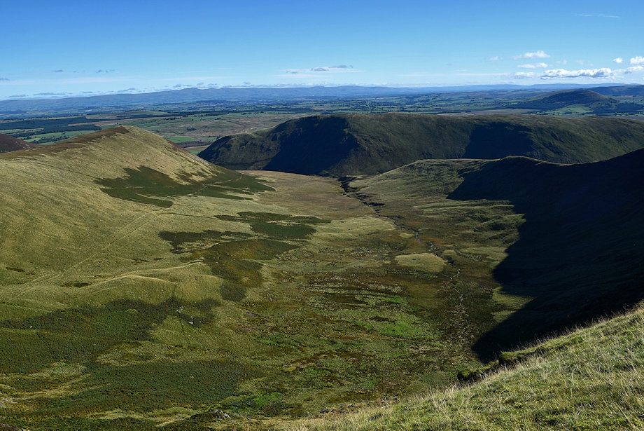
| The path begins to level out as it enters Bannerdale |
 |
| Clough Head appears over Mousthwaite col |
 |
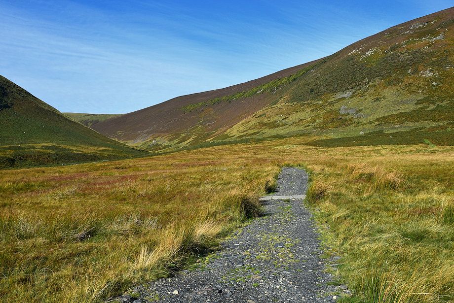
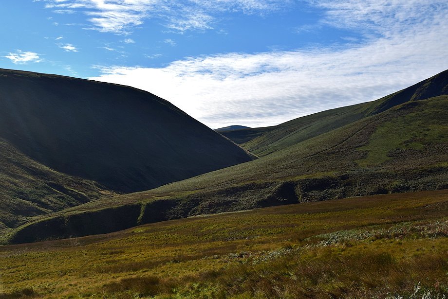
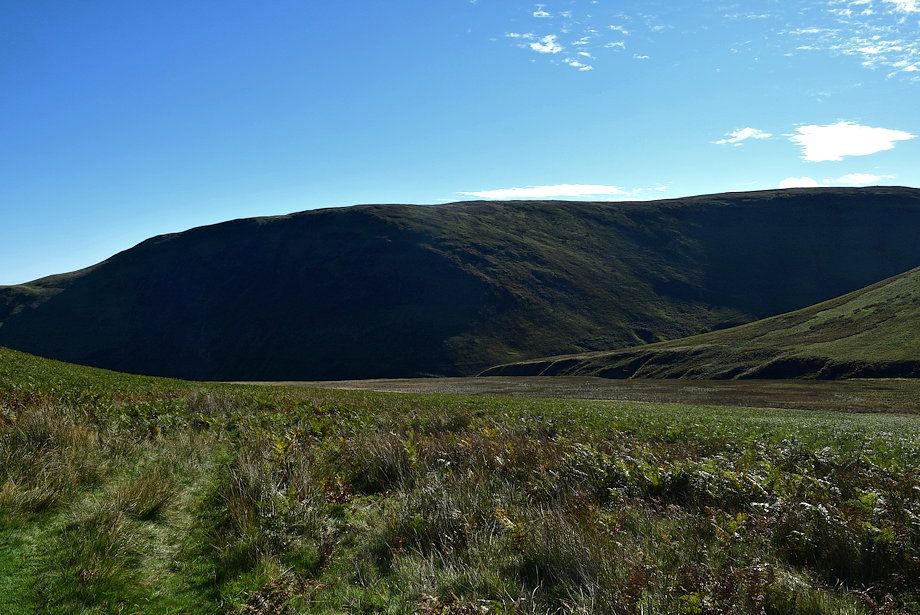
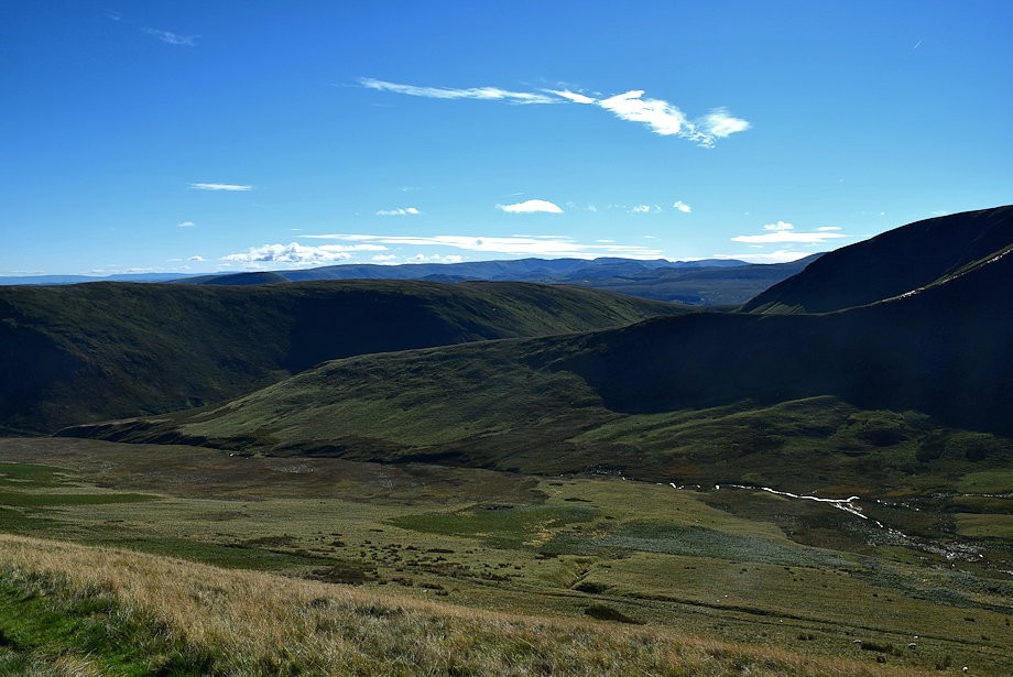
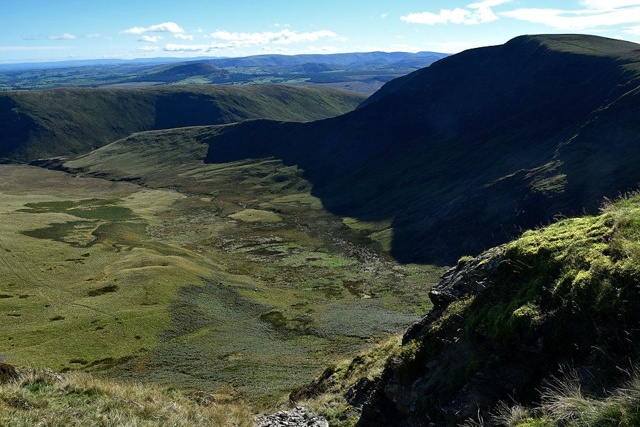
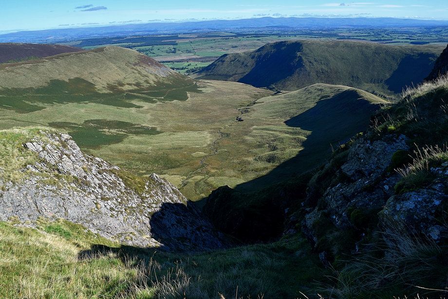
| The headwall of Bannerdale |
 |
| The line of the path climbing up to the ridge between Bannerdale Crags and Bowscale Fell comes into view |
 |
| Great Dodd, to the left of Clough Head, comes into view above Mousethwaite col |
 |
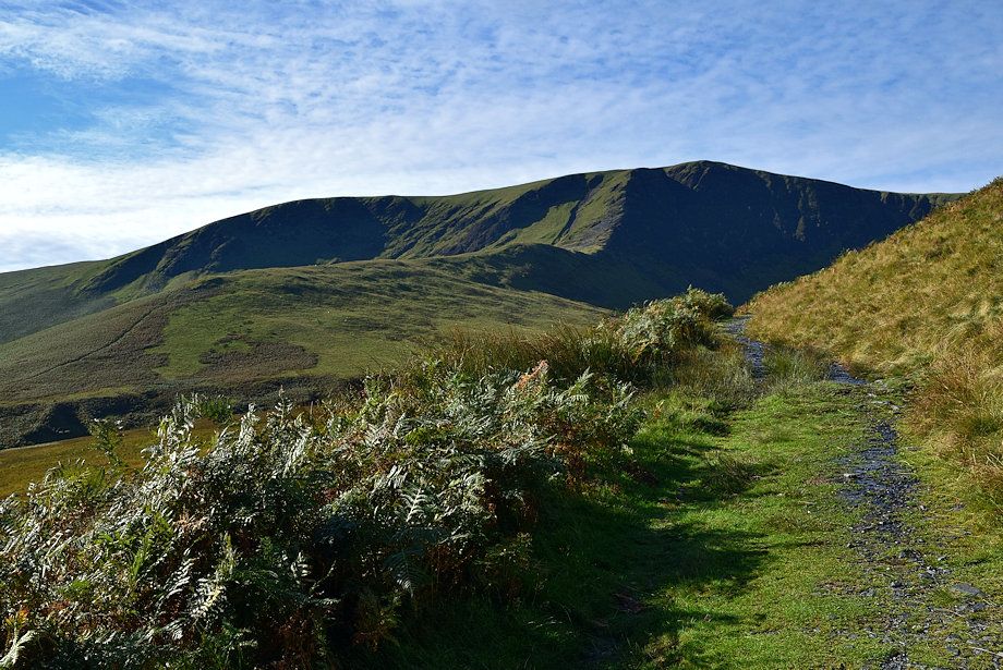
| The summit of Bannerdale Crags across Bannerdale |
 |
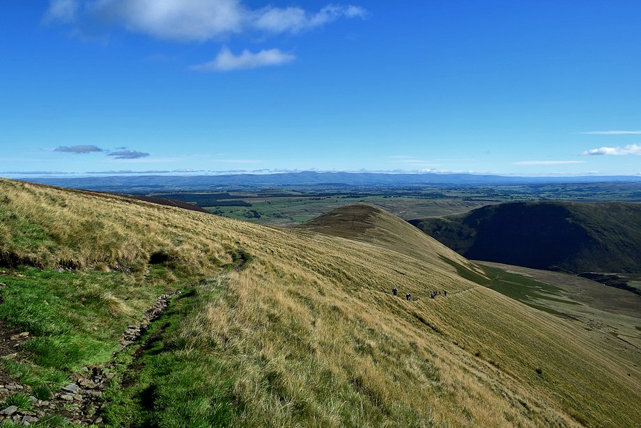
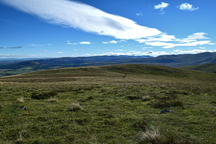
| Looking back to Souther Fell |
 |
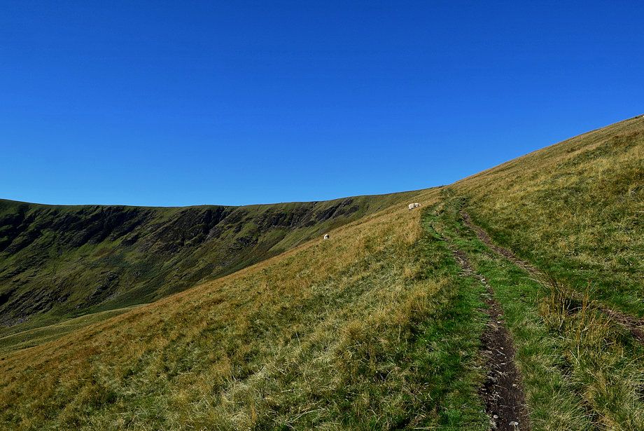
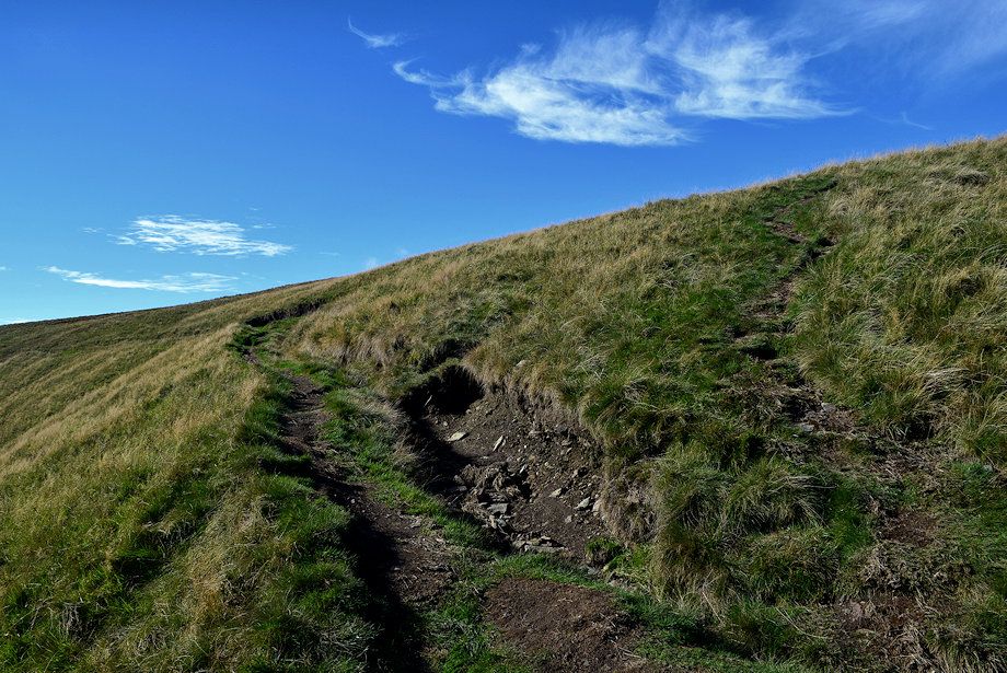
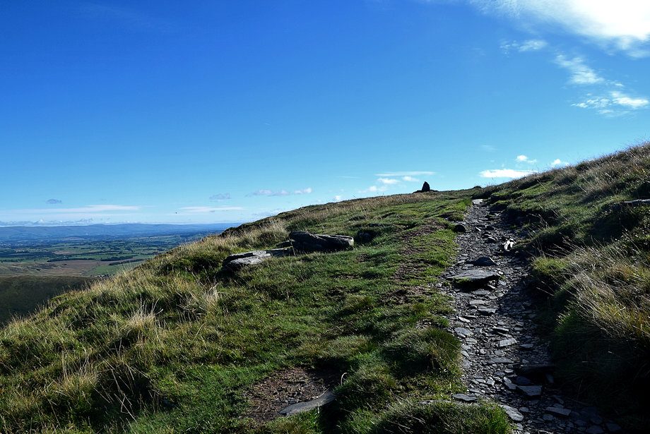
| A marker cairn indicates the point where the path forks, keep right on the rising path through the bracken, the left branch eventually fades away in the floor of the valley below the steep headwall |
 |
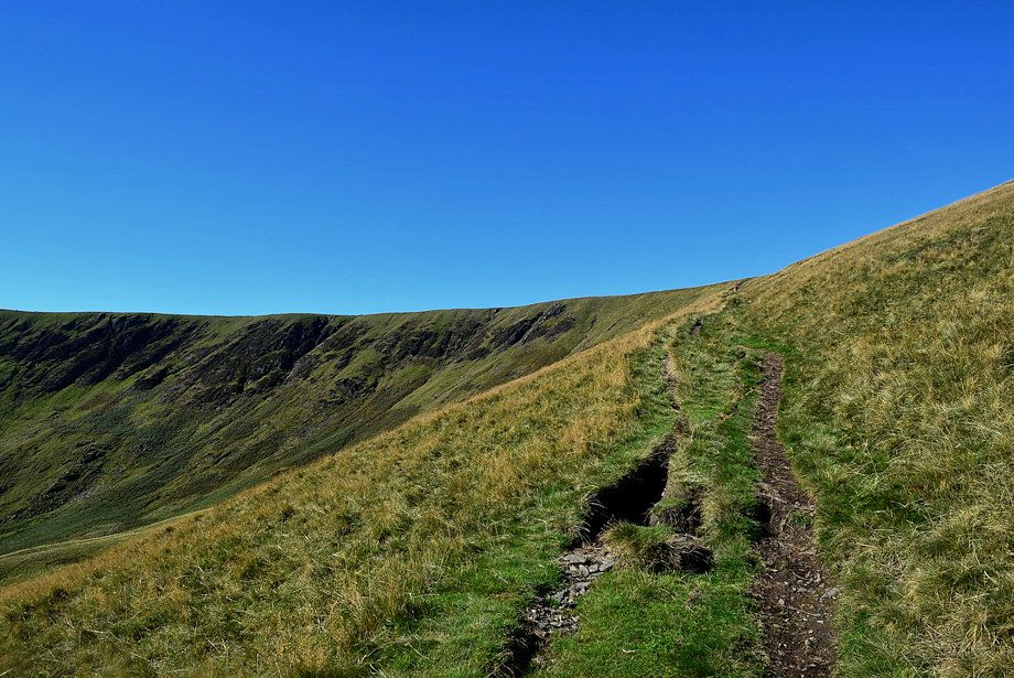
| Looking back along the lower part of the path |
 |
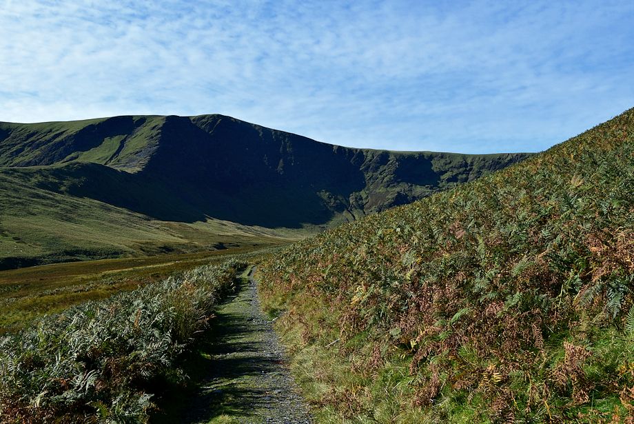
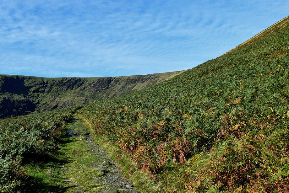
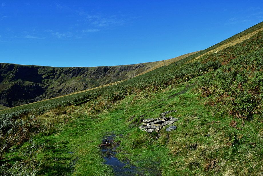
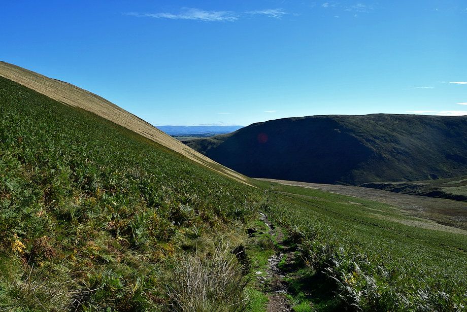
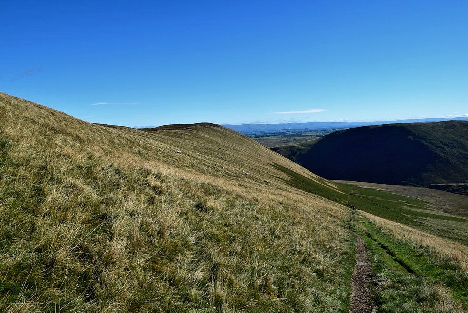
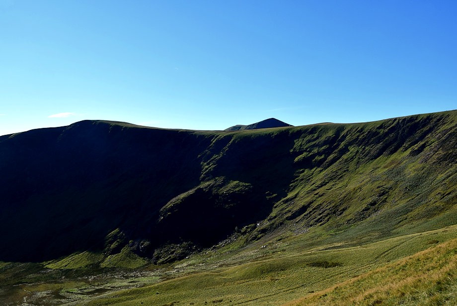
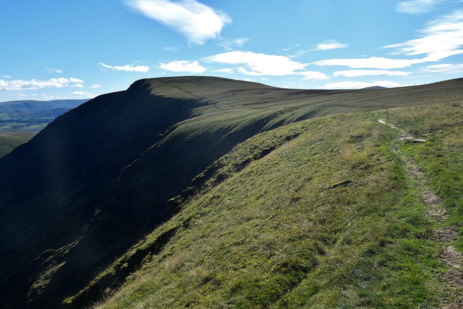
| The grass slope on the upper southern flank of The Tongue is the steepest part of the walk |
 |
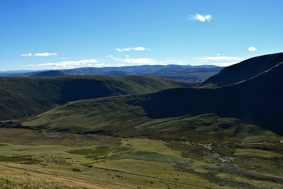
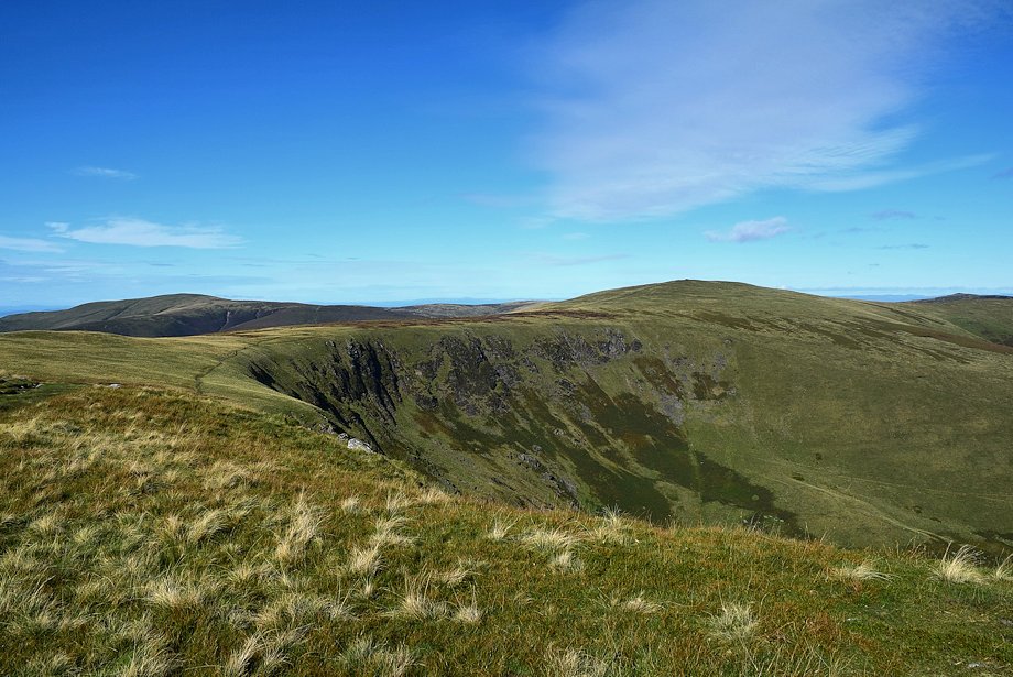
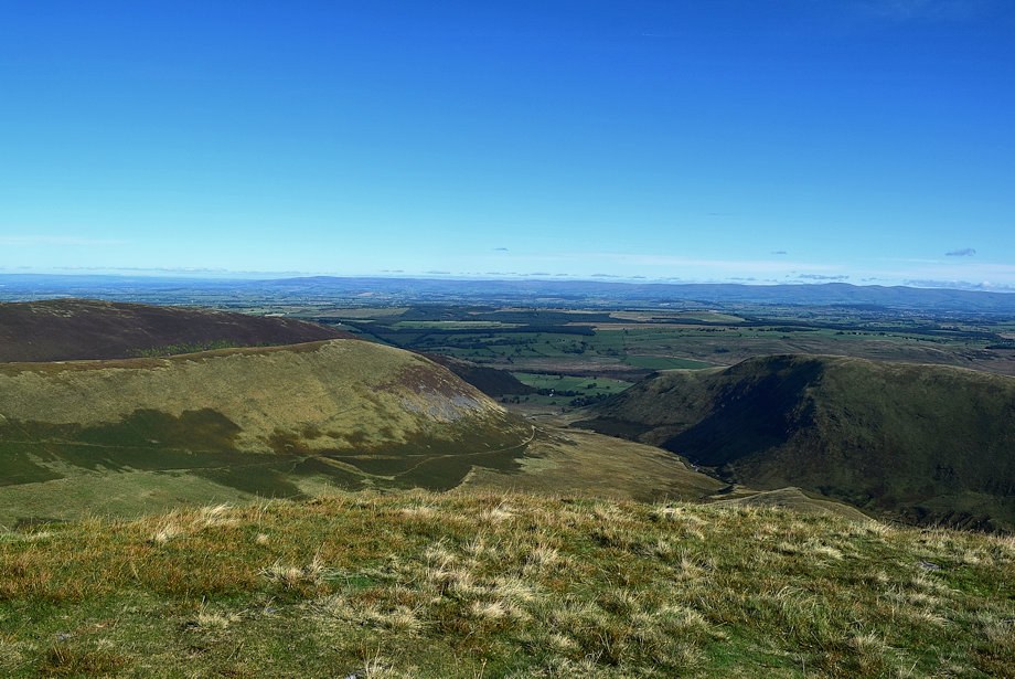
| Souther Fell and the east ridge of Bannerdale Crags across Bannerdale |
 |
| Looking back along the southern flank of The Tongue |
 |
| Atkinson Pike on Blencathra appears over the head of Bannerdale |
 |
| Approaching the col between Bannerdale Crags and Bowscale Fell |
 |
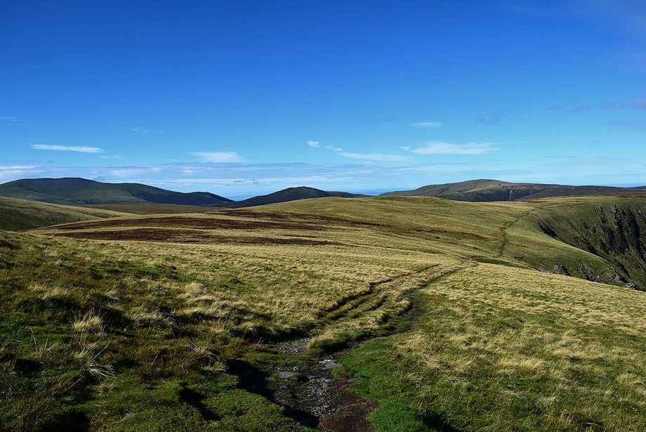
| Looking across Bannerdale to The Far Eastern Fells on the horizon |
 |
| The path splits just below the col, the left branch provides a short-cut along the edge of Bannerdale's headwall towards the summit of Bannerdale Crags |
 |
| Blencathra from the short-cut path to Bannerdale Crags |
 |
| Looking back along the path of ascent on The Tongue's southern flank |
 |
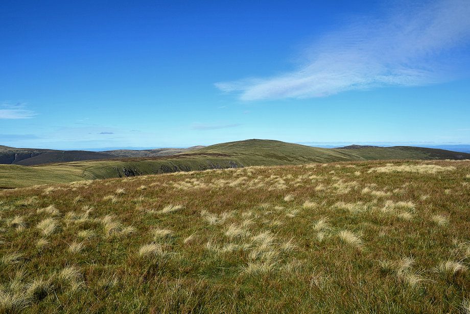
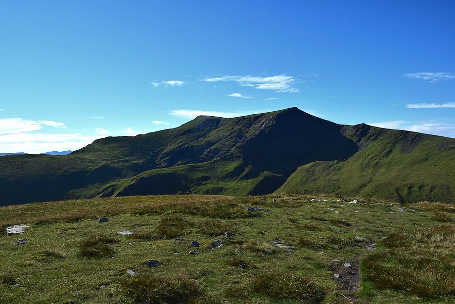
| The summit of Bowscale Fell from the short-cut path above Bannerdale |
 |
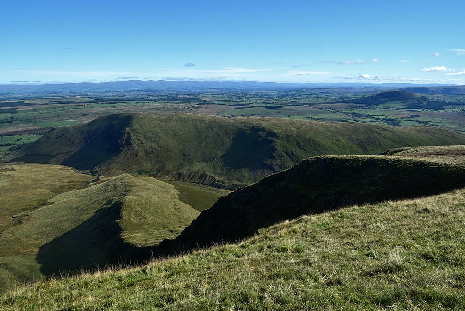
| The east ridge of Bannerdale Crags |
 |
| Souther Fell across Bannerdale |
 |
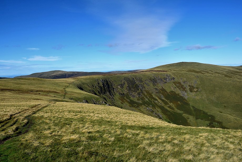
| The short-cut path eventually joins the main path on the ridge between Bannerdsale Crags and Bowscale Fell |
 |
| Looking back to the summit of Bowscale Fell from the point where the short-cut path joins the main path |
 |
| The long line of the Pennines form the horizon |
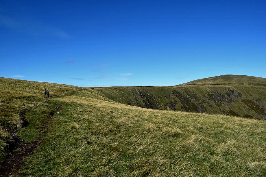 |
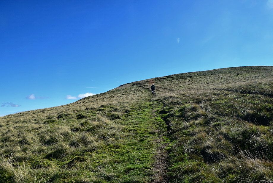
| Two walkers on the main path between the summits of Bannerdale Crags and Bowscale Fell |
 |
| The path crosses above the heads of a series of rocky gullies before the final rise to the summit |
 |
| Looking down one of the gullies |
 |
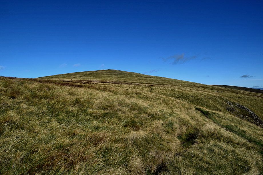
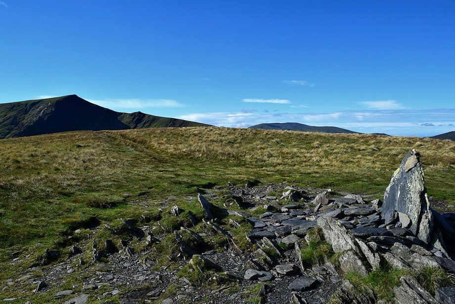
| Looking back to Bowscale Fell with Knott on the left |
 |
| Skiddaw, Bakestall,and Knott |
 |
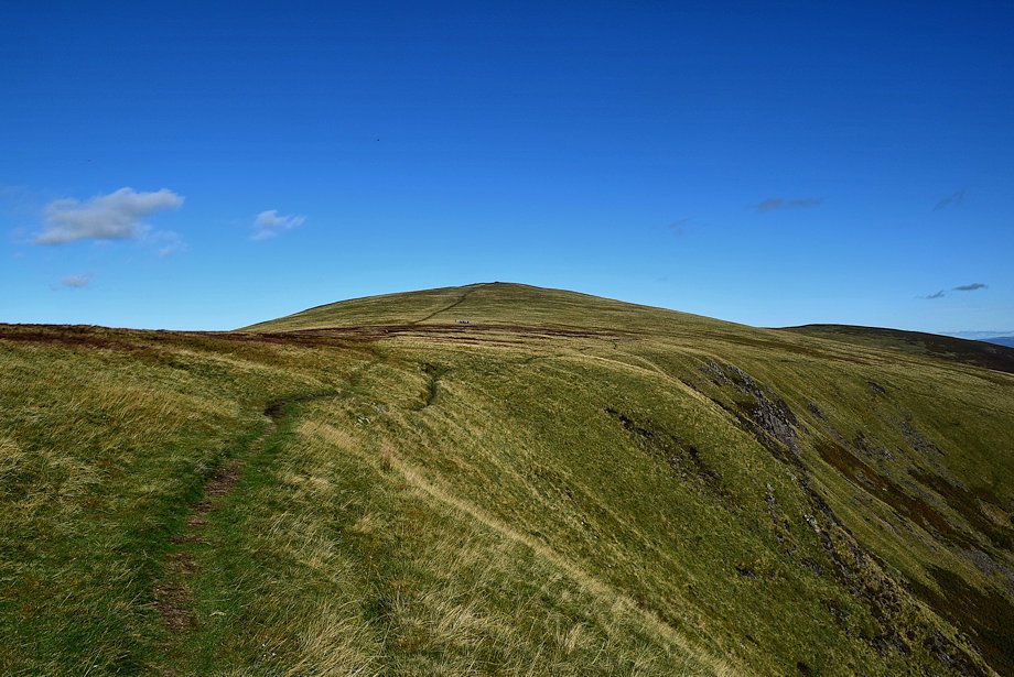
| Climbing up to the summit of Bannerdale Crags |
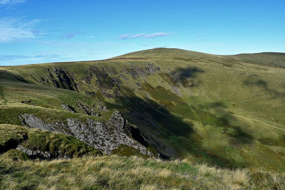 |
| Bowscale Fell across the headwall of Bannerdale |
 |
| Skiddaw Little Man, Skiddaw, Bakestall and Great Calva from the climb to the summit |
 |
| Approaching the eastern cairn on Bannerdale Crags |
 |
| The eastern cairn on Bannerdale Crags |
 |
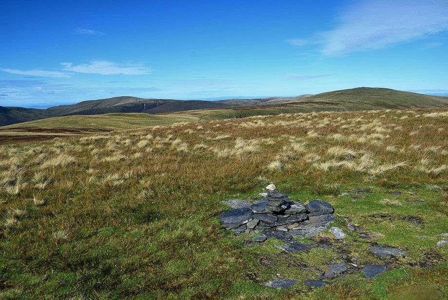
| Knott and Bowscale Fell from the eastern cairn |
 |
| The Tongue and Bowscale Fell's east ridge |
 |
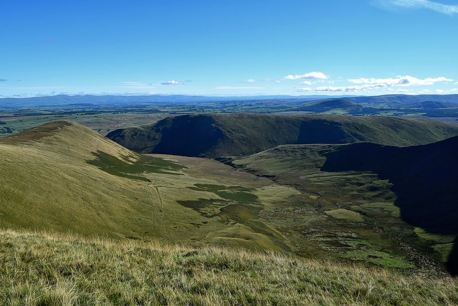
| Bannerdale from the eastern cairn |
 |
| Souther Fell and Bannerdale Crag's east ridge from the eastern cairn |
 |
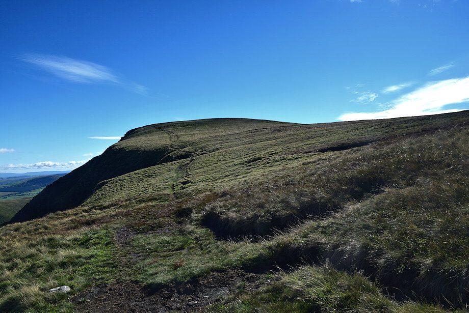
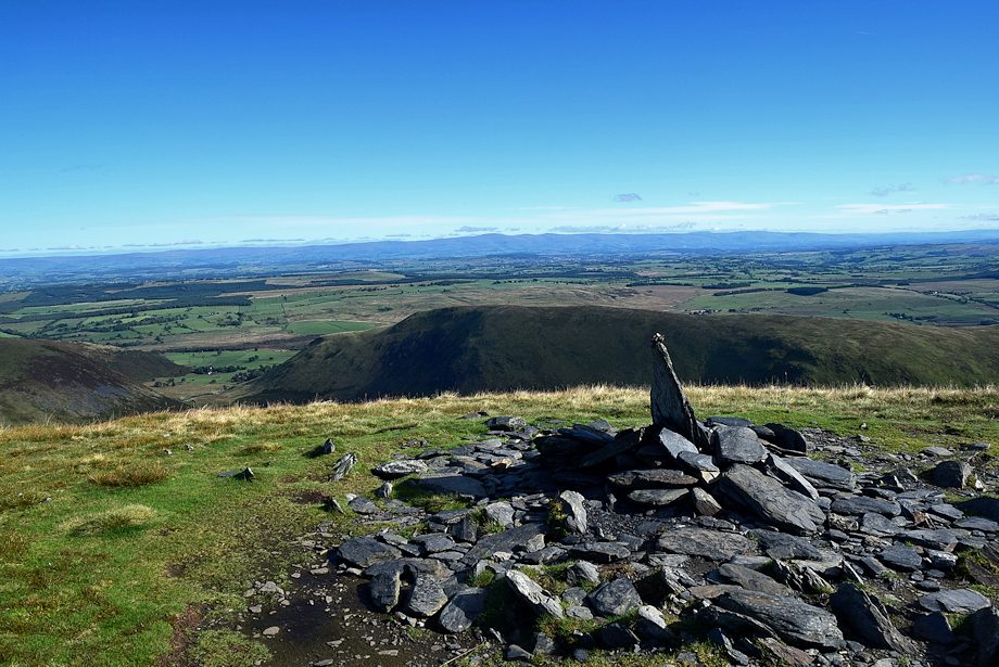
| The actual summit lies a hundred yards to the south-west of the eastern cairn |
 |
| The summit cairn on Bannerdale Crags |
 |
| Skiddaw and Bakestall from the summit of Bannerdale Crags |
 |
| Great Calva and Knott from the summit of Bannerdale Crags |
 |
| High Pike, Bowscale Fell and Carrock Fell from the summit of Bannerdale Crags |
 |
| The Far Eastern Fells from the summit of Bannerdale Crags |
 |
| Clough Head and Great Dodd with the Coniston Fells in the distance on the right from the summit of Bannerdale Crags |
 |
| Blencathra from the summit of Bannerdale Crags |
