
| Barf - Route Two |
| Start - Powter How NY 220 264 | Distance - 0.7 miles | Ascent - 1,190 feet | Time - 55 minutes |
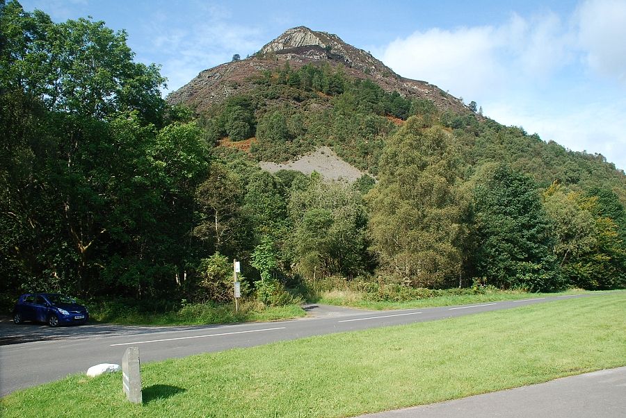 |
| Barf from Powter How. There is a parking area beside the bus stop and a larger car park a short distance to the north of Powter How |
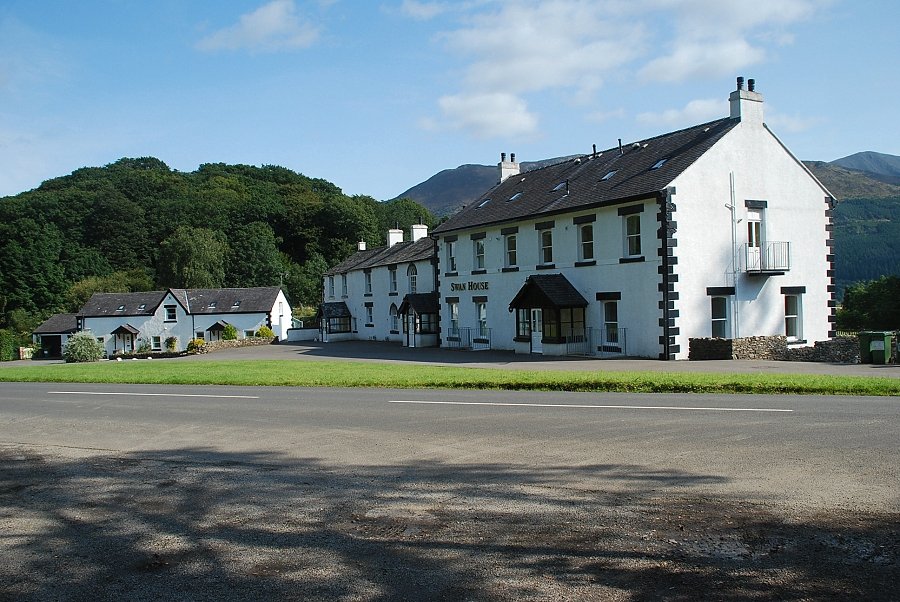 |
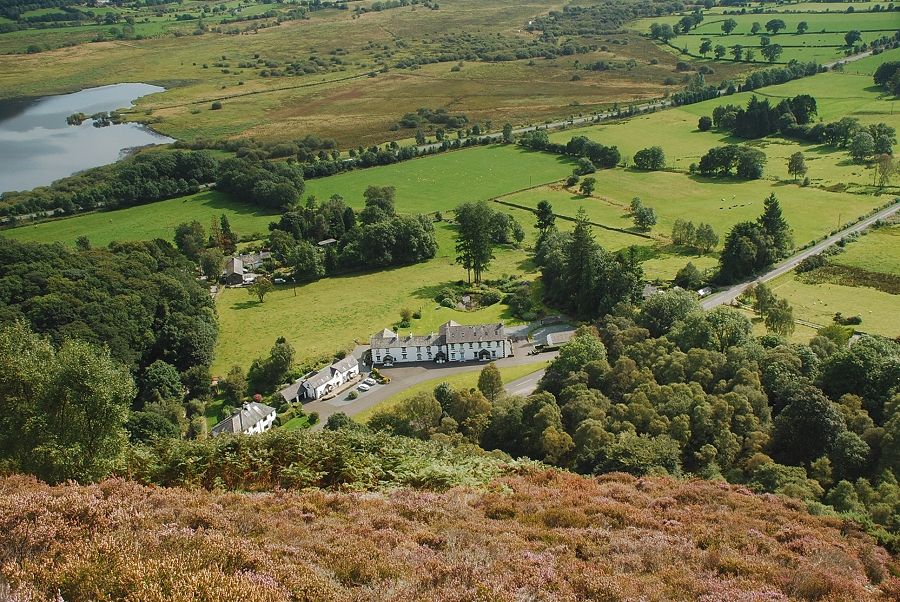
| Powter How, the site of the former Swan Inn which has been converted into private apartments |
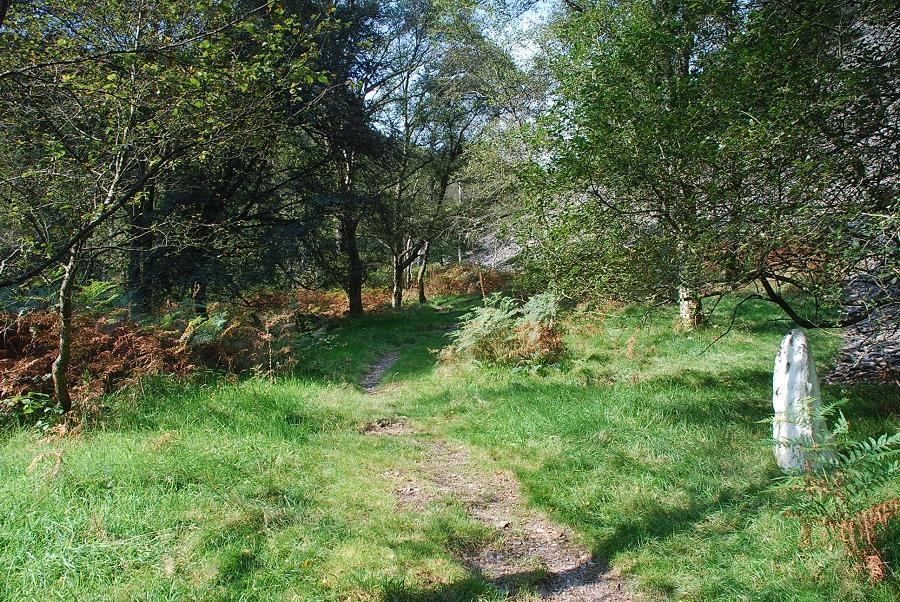 |
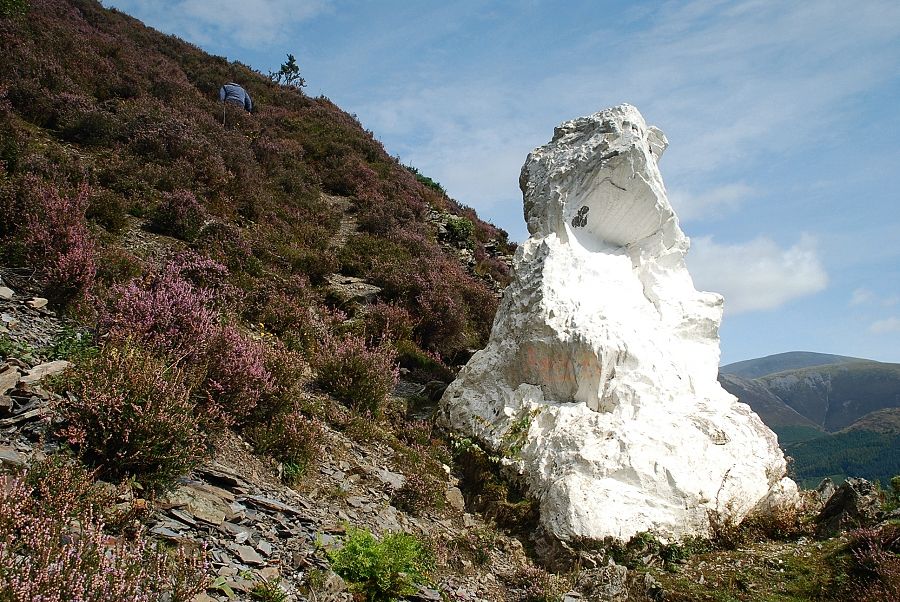
| A footpath sign directs walkers through a gate onto a woodland path which soon passes the little white-washed rock known as The Clerk |
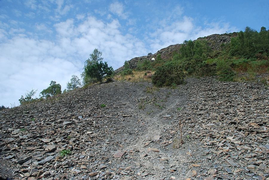 |
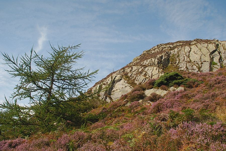
| The Clerk marks the beginning of the climb up the scree slope towards The Bishop of Barf, the top of which can just be seen above the trees |
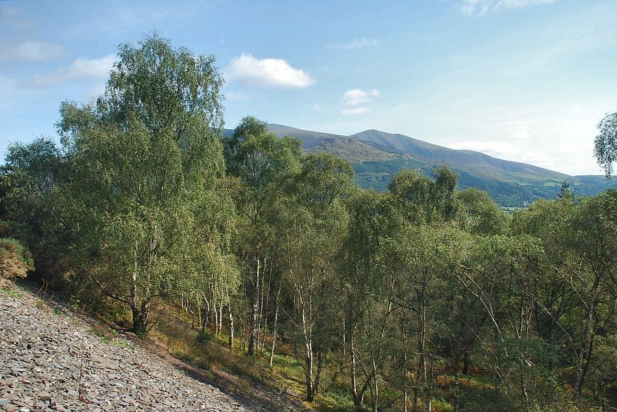 |
| Looking over to Skiddaw Little Man above the birch trees which cover the lower slopes |
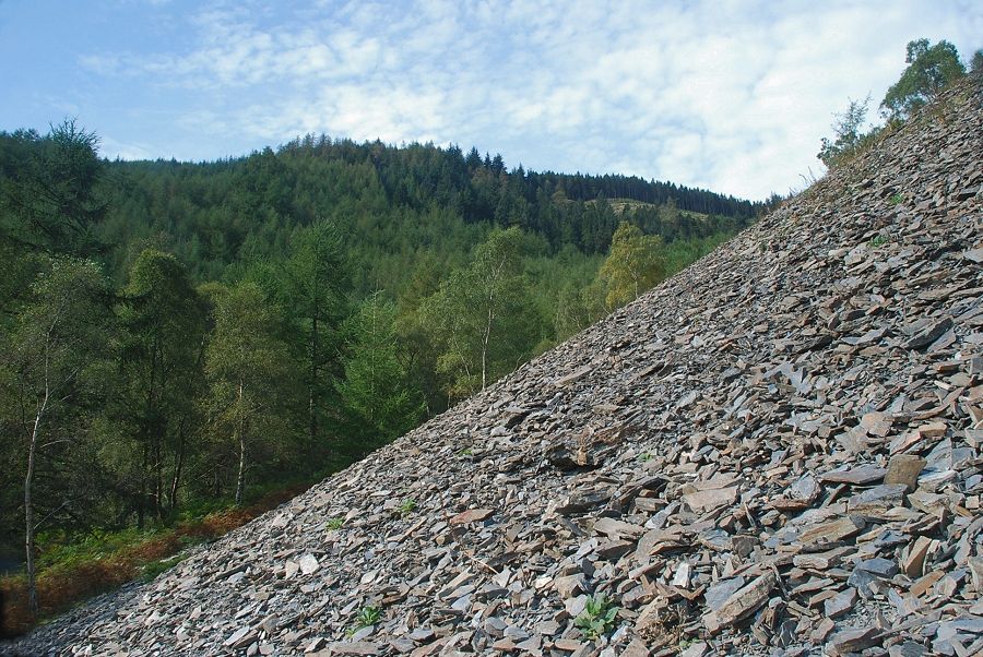 |
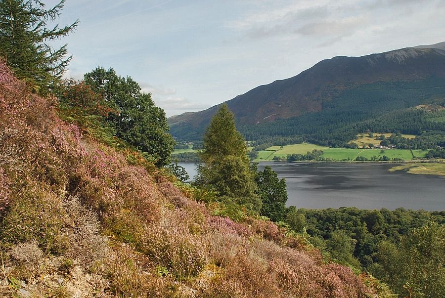
| Looking left to the Beckstones Plantation. The usual way to climb Barf is by the path beside Beckstones Gill which follows the edge of the plantation |
 |
| Skiddaw Little Man from the climb to the Bishop of Barf |
 |
| The Bishop of Barf |
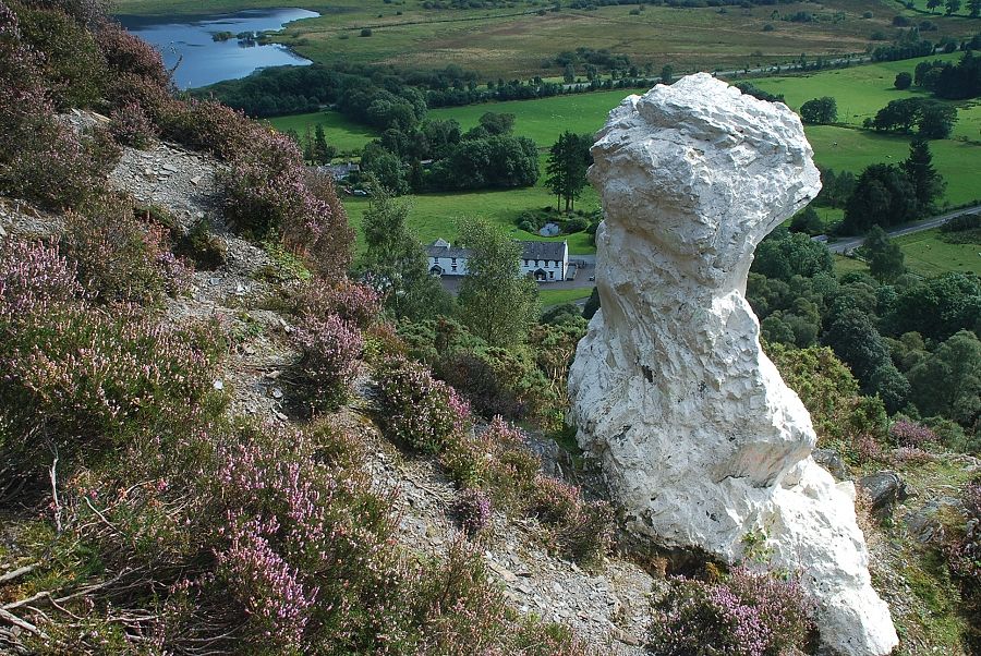 |
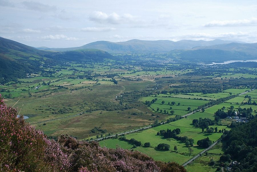
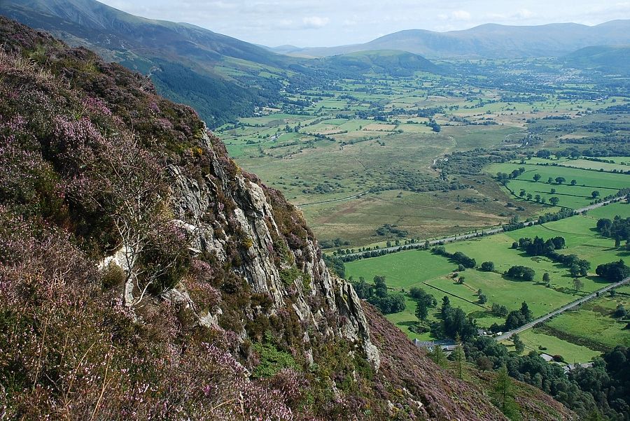
| Looking down on Powter How Barf - page 5 |
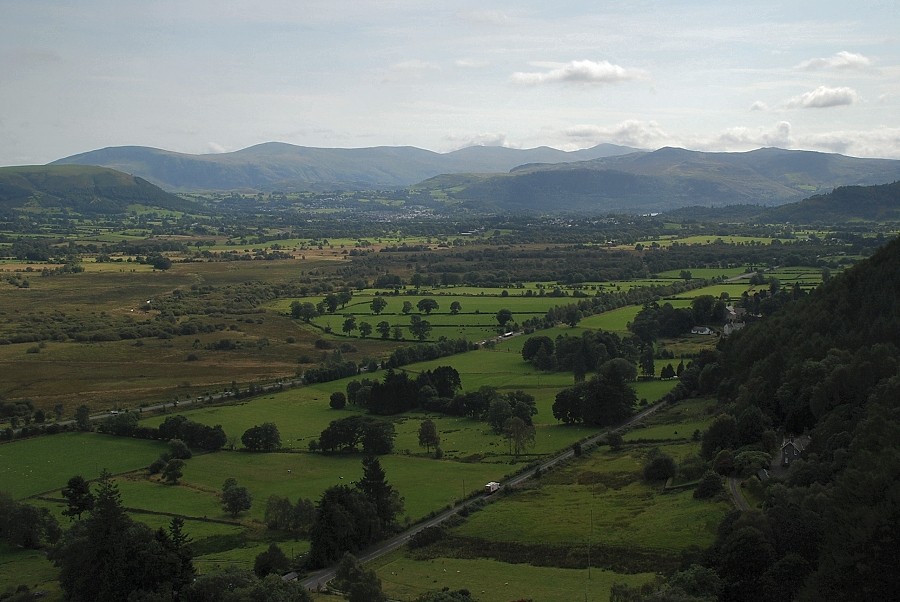 |
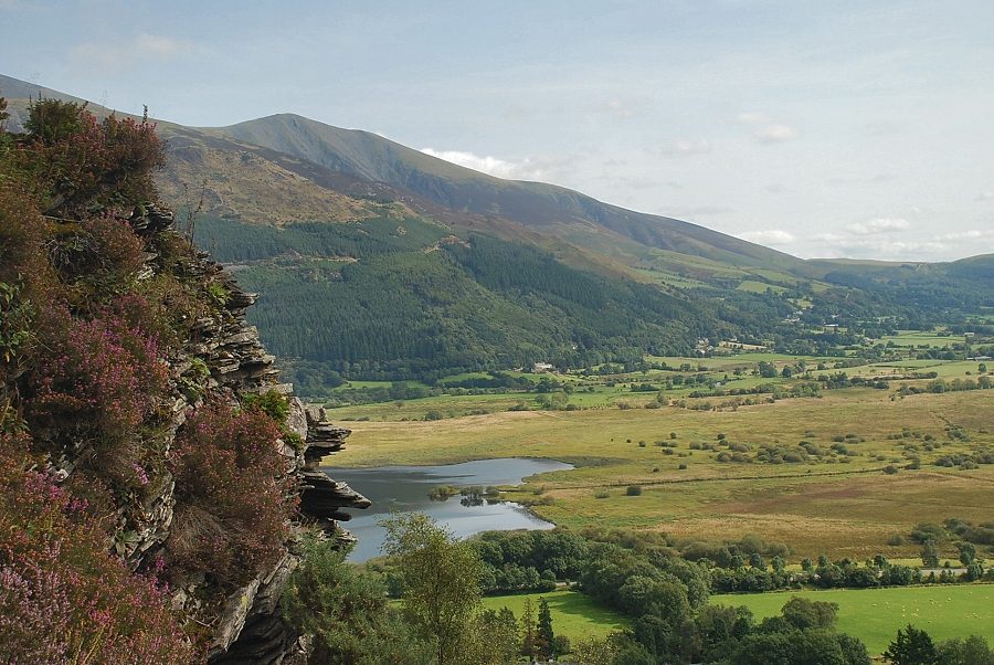
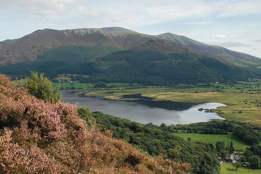
| The Helvellyn Dodds from The Bishop of Barf with Latrigg in the middle distance on the left, Bleaberry fell and High Seat on the right |
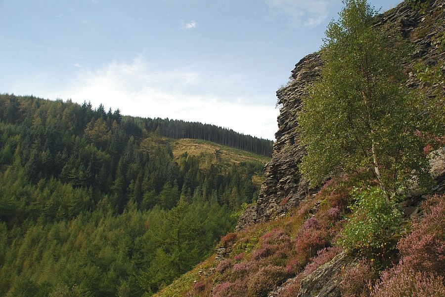 |
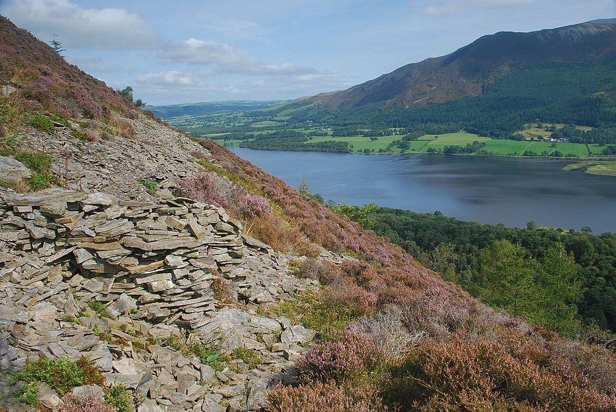
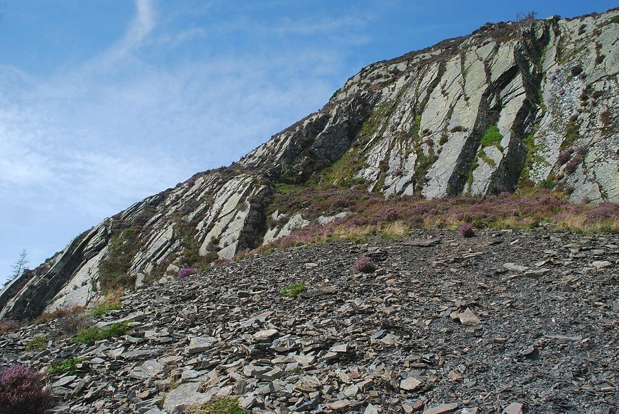
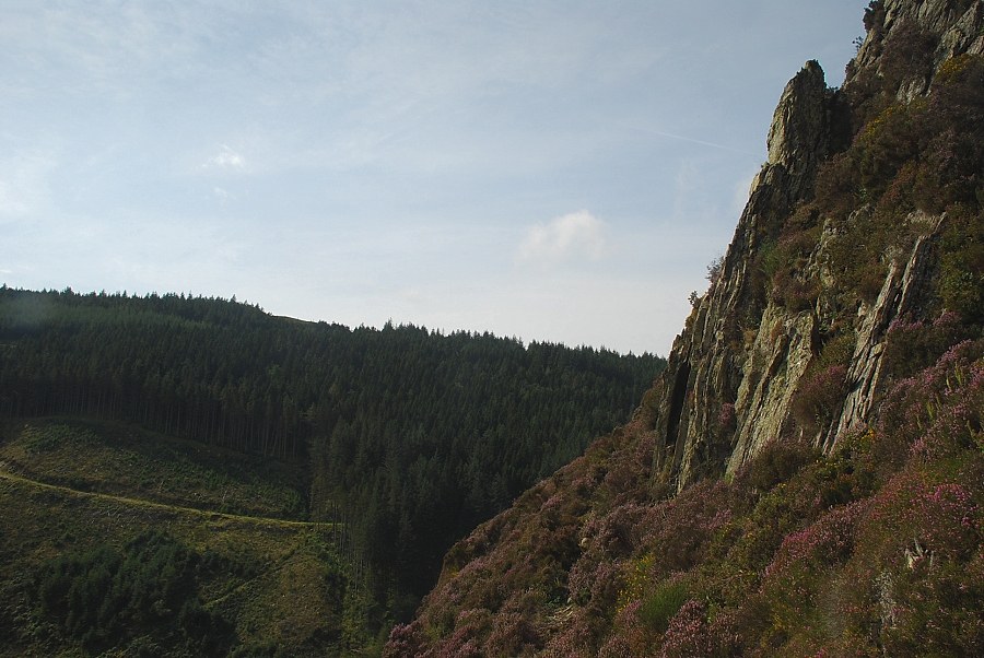
| Beckstones Plantation across the shattered crags beside the Bishop of Barf |
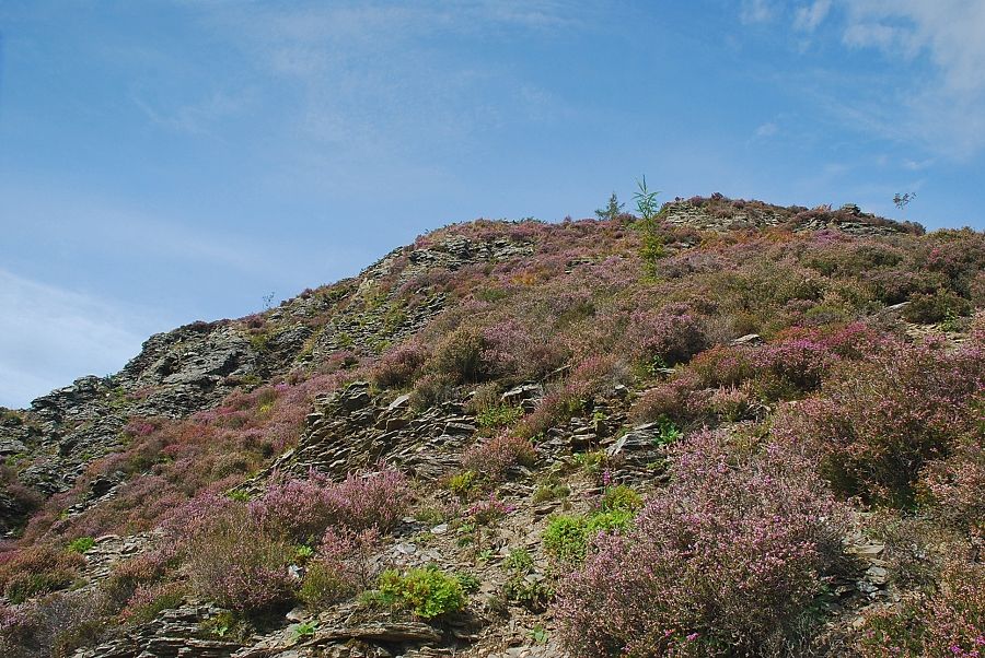 |
| AW's original route climbed through the shattered crags by way of a loose gully seen here on the left. Nowadays it is more usual to continue on a clear path which rises directly above the Bishop before making a steep traverse over to the right |
 |
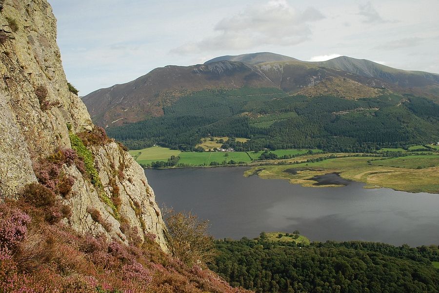
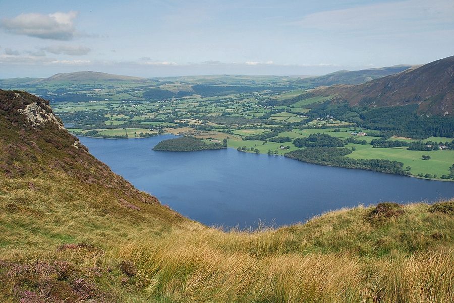
| Skiddaw and the head of Bassenthwaite Lake from the traverse path |
 |
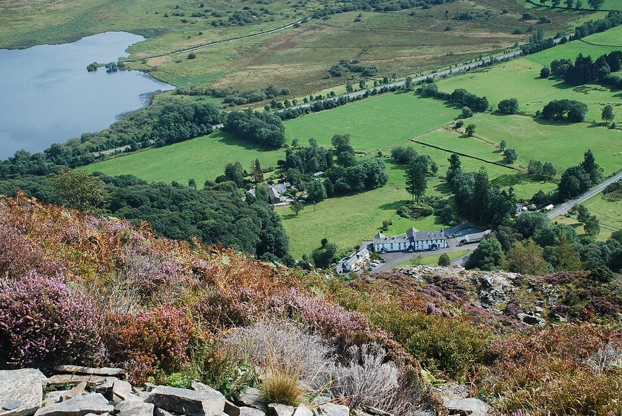
| Looking down on Powter How from the traverse path |
 |
| Ullock Pike across Bassenthwaite Lake |
 |
| Looking down on Beckstones from the traverse path |
 |
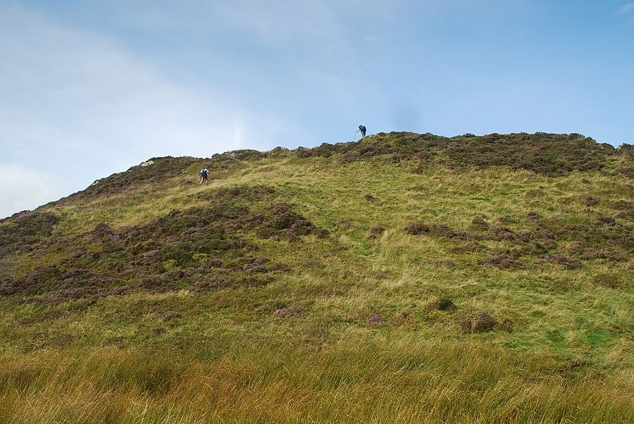
| The traverse path ends at a wind shelter on a level shoulder from where a more indistinct path turns left to climb back towards the apex of the ridge |
 |
| Approaching the solitary rowan which AW noted in his diagram of this ascent |
 |
| Looking back from the solitary rowan |
 |
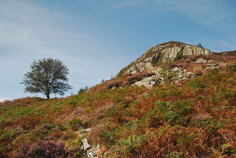
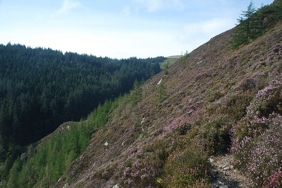
| Above the rowan the climb continues even more steeply towards the base of Slape Crag |
 |
| Approaching Slape Crag |
 |
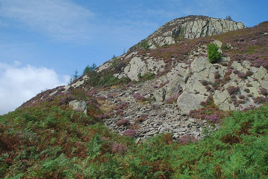
| A short rake at the end of a heather terrace between the scree and the base of Slape Crag is quite easy to climb, although it does become very narrow and exposed near its end. AW recommended an alternative route over on the left side of the crag, a rock step which can indentified by a small oak tree growing below it |
 |
| Looking down on Powter How from the screes below Slape Crag |
 |
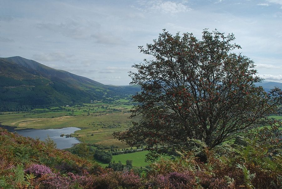
| Skiddaw across Bassenthwaite Lake from the heather terrace below Slape Crag |
 |
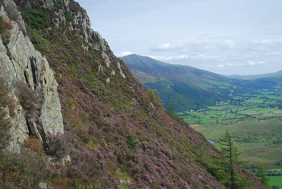
| The Helvellyn Dodds from the top of Slape Crag |
 |
| From the top of Slape Crag the path makes a rising traverse below the upper escarpment towards a pinnacle on its left edge |
 |
| Looking back from the base of the pinnacle along the traverse below the upper escarpment |
 |
| Passing the base of the pinnacle the path reaches open heather slopes and turns back sharply to climb along the edge of the upper escarpment |
 |
| Looking across the upper escarpment. The path follows the edge of the escarpment to its highest point and then turns up a simple grass and heather slope, passing over two false tops on the way to the summit |
 |
| Bassenthwaite Lake from the first false top |
 |
| Approaching the second false top, the walkers are on the path which comes up from Beckstones Gill |
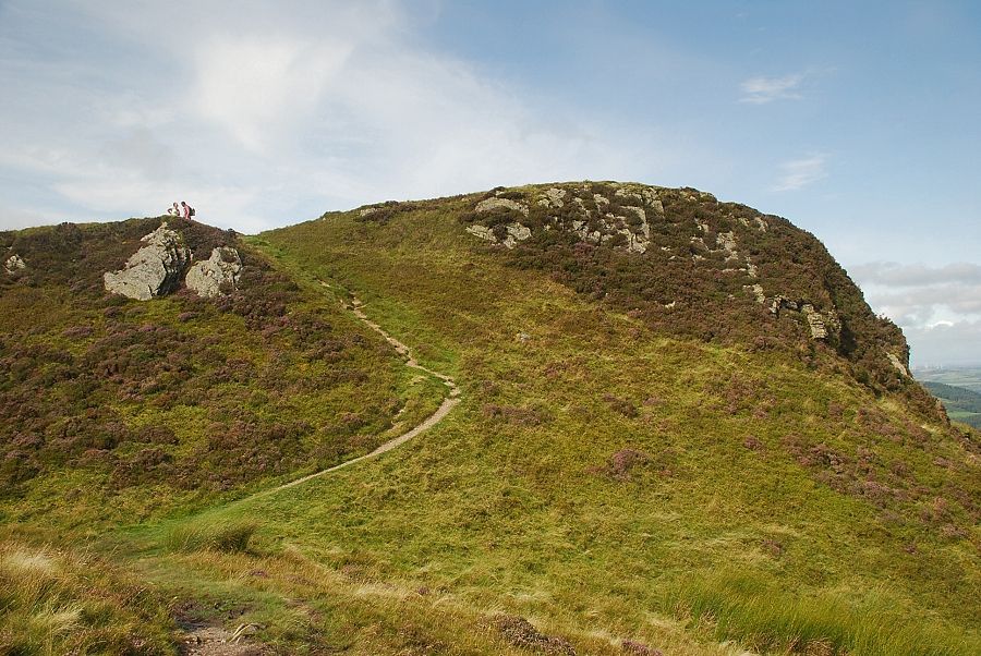 |
| The true summit comes into view on reaching the second false top |
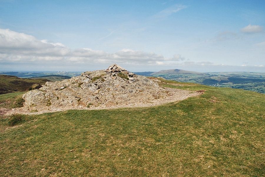 |
| The summit of Barf |
 |
| Looking over Rough Mire at the head of Bassenthwaite Lake to Clough Head, Great Dodd and Stybarrow Dodd |
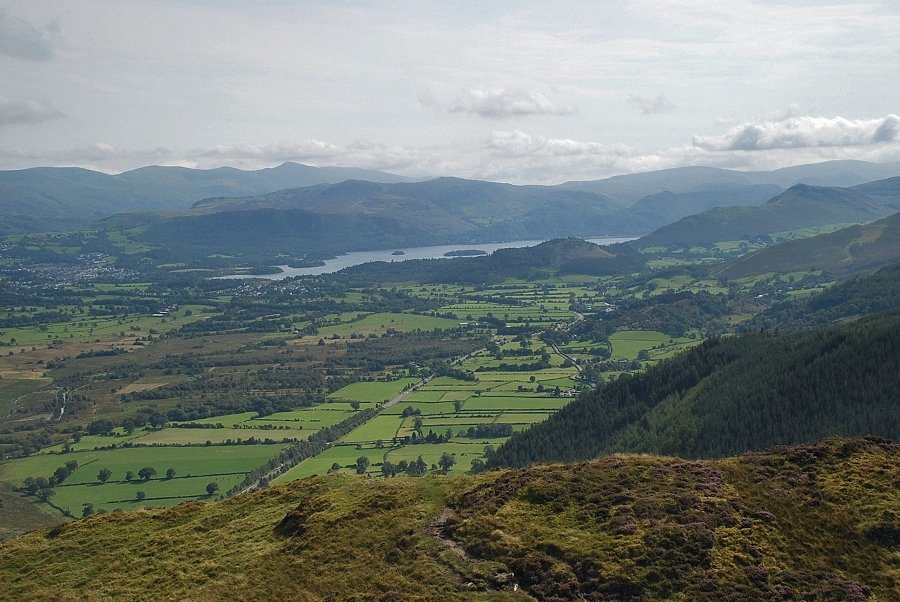 |
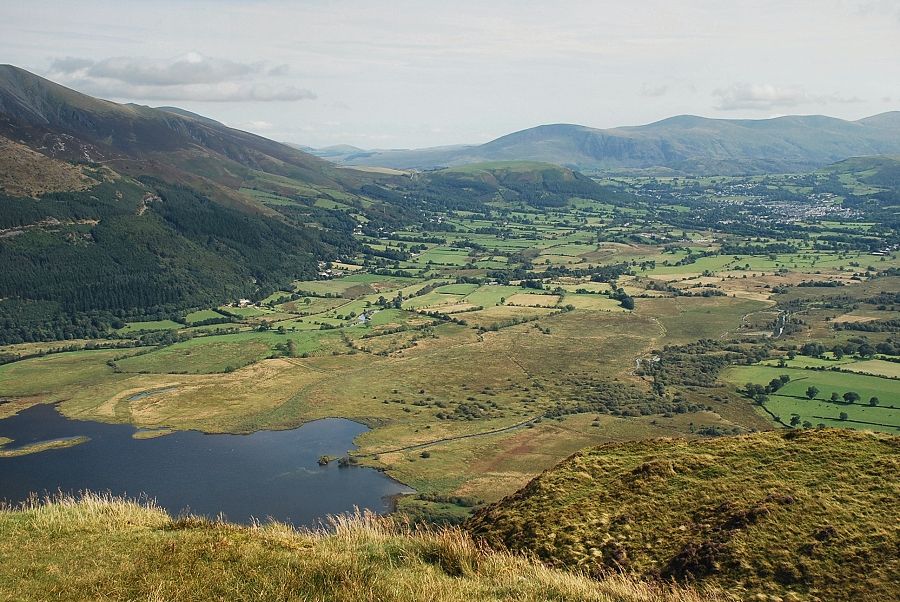
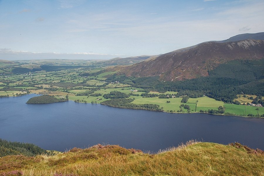
| Derwent Water from the summit of Barf |
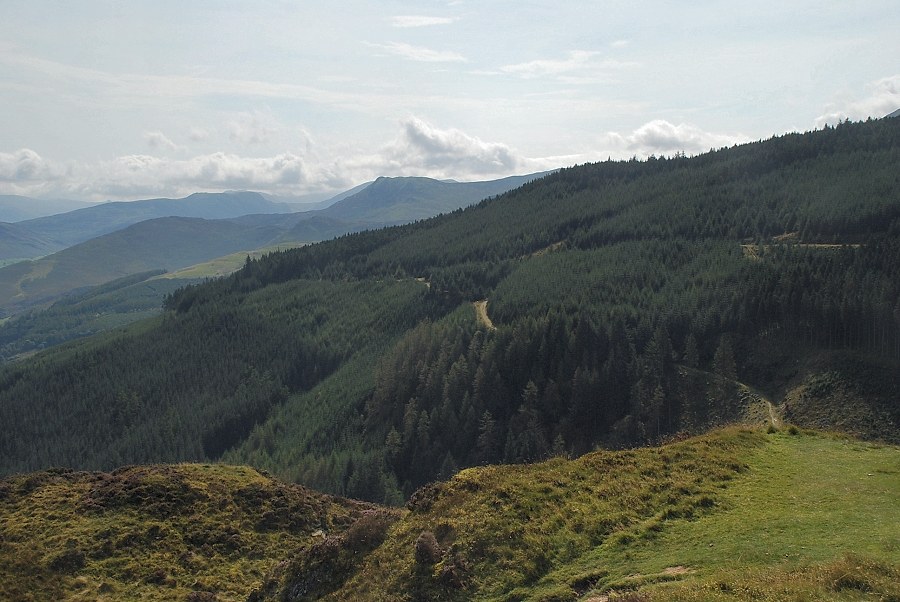 |
| Causey Pike across the Thornthwaite Forest |
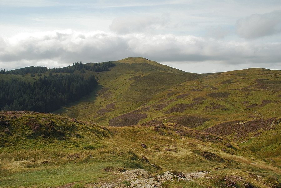 |
| Lord's Seat from the summit of Barf |
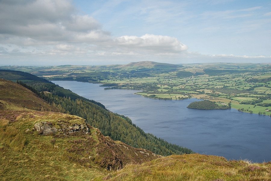 |
| Bassenthwaite Lake and Binsey from the summit of Barf |
 |
| Ullock Pike across Bassenthwaite Lake |
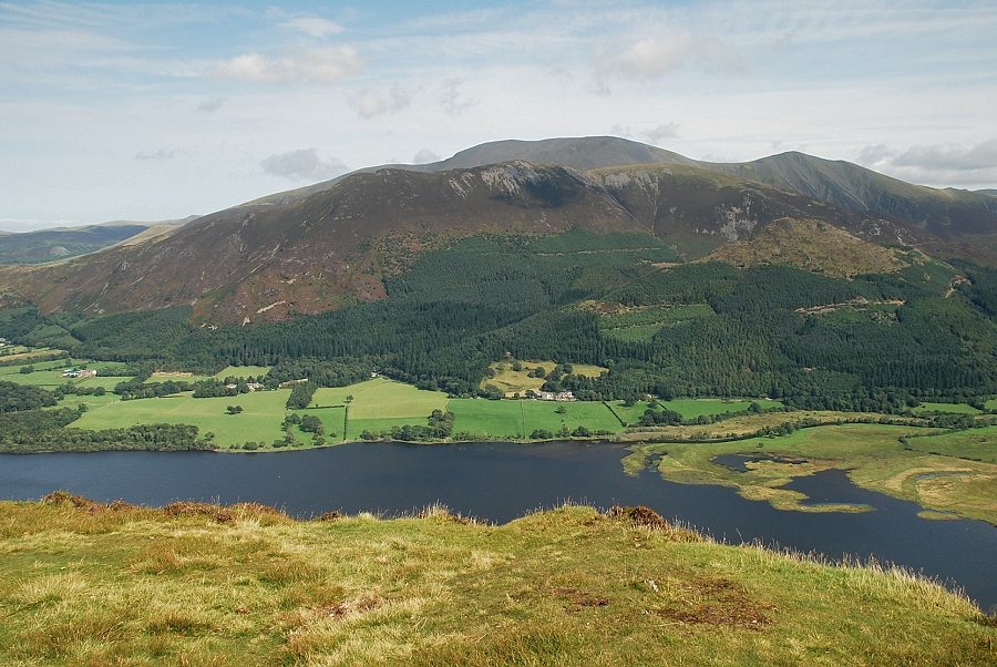 |
| Skiddaw from the summit of Barf |
|