 |
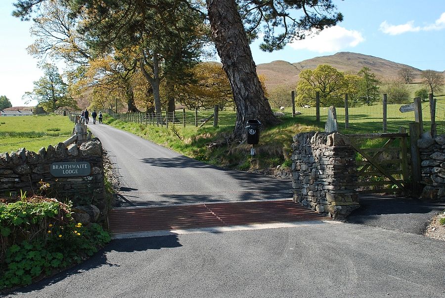
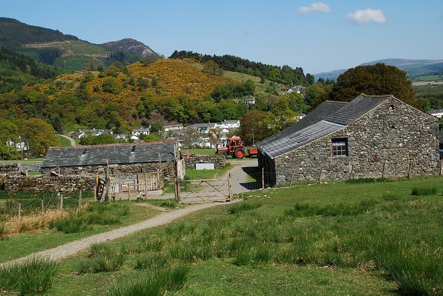
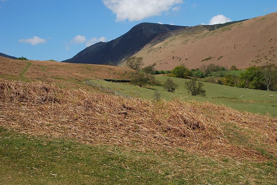
| The farm road to Braithwaite Lodge, which is also the start of a bridleway to Stair in the Newlands Valley, gives access to the open fellside |
 |
| The north east ridge of Barrow from the farm road |
 |
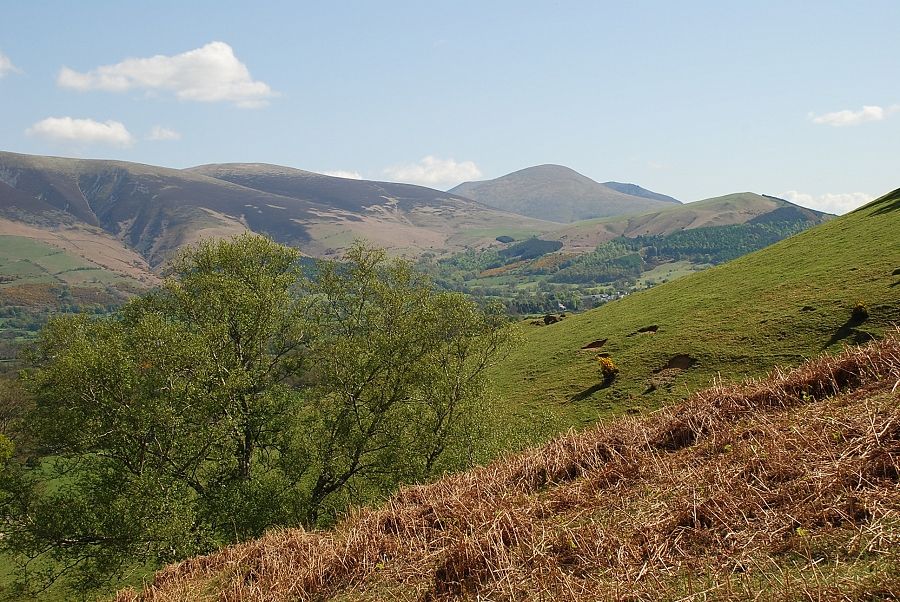
| Looking across to Grisedale Pike from the road |
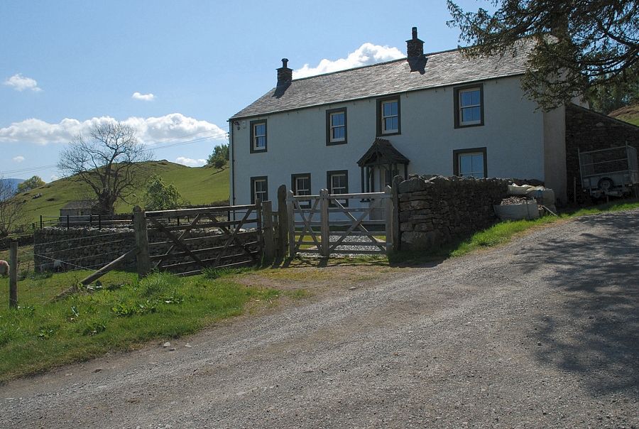 |
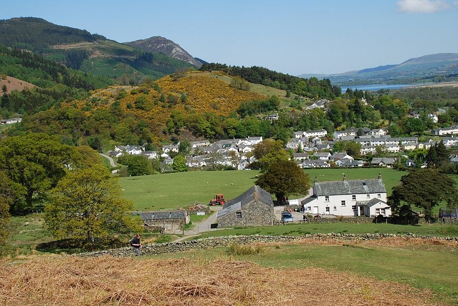
| Braithwaite Lodge Farm |
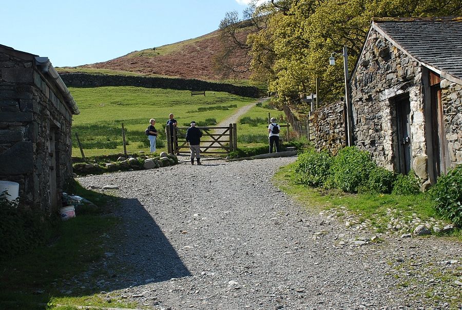 |
| The bridleway passes through the farmyard and a small field above it |
 |
| Looking back to Braithwaite from the top field gate |
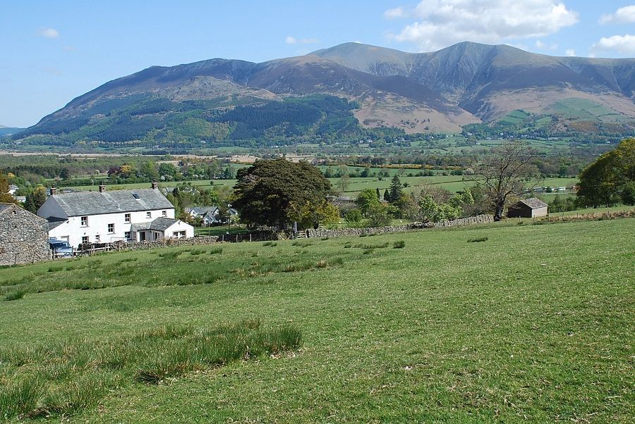 |
| Looking back towards Skiddaw |
 |
| The bridleway turns to the left above the intake wall and skirts a small plantation but it's only followed for a few yards before a path turns off towards the north east ridge of Barrow. Looking over to Lonscale Fell, Blencathra and Latrigg |
 |
| At the foot of the north east ridge |
 |
| Grisedale Pike from the foot of the north east ridge |
 |
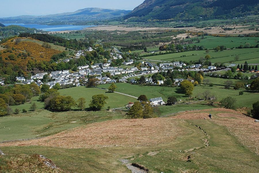
| Looking back to Braithwaite from the foot of the north east ridge |
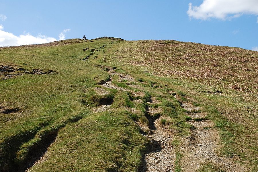 |
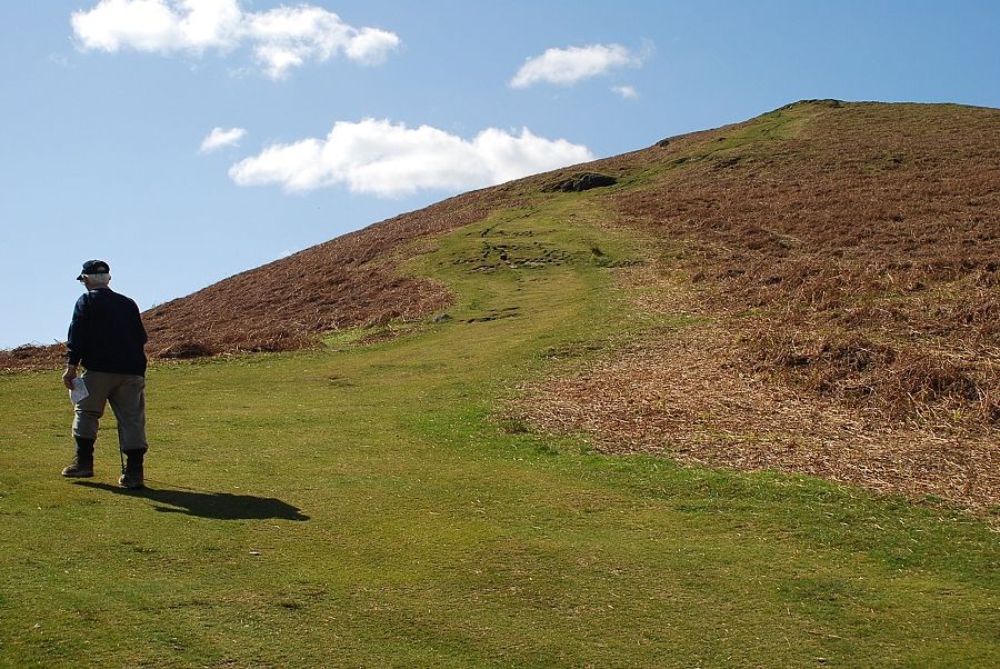
| The start of the path up the north east ridge |
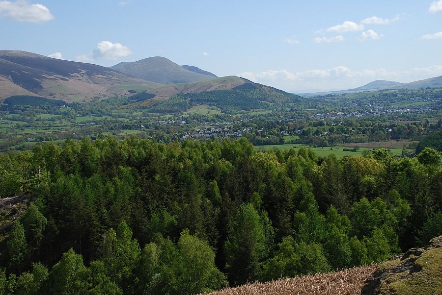 |
| Keswick from the start of the climb |
 |
| Looking back to Skiddaw |
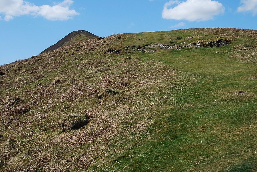 |
| The summit comes into view near the end of the first steep rise |
 |
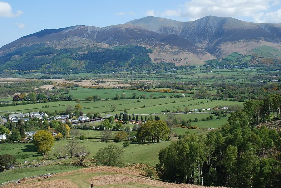
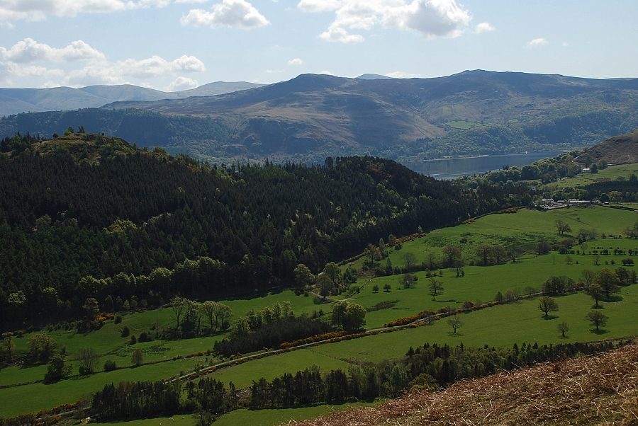
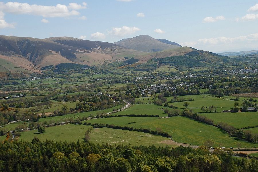
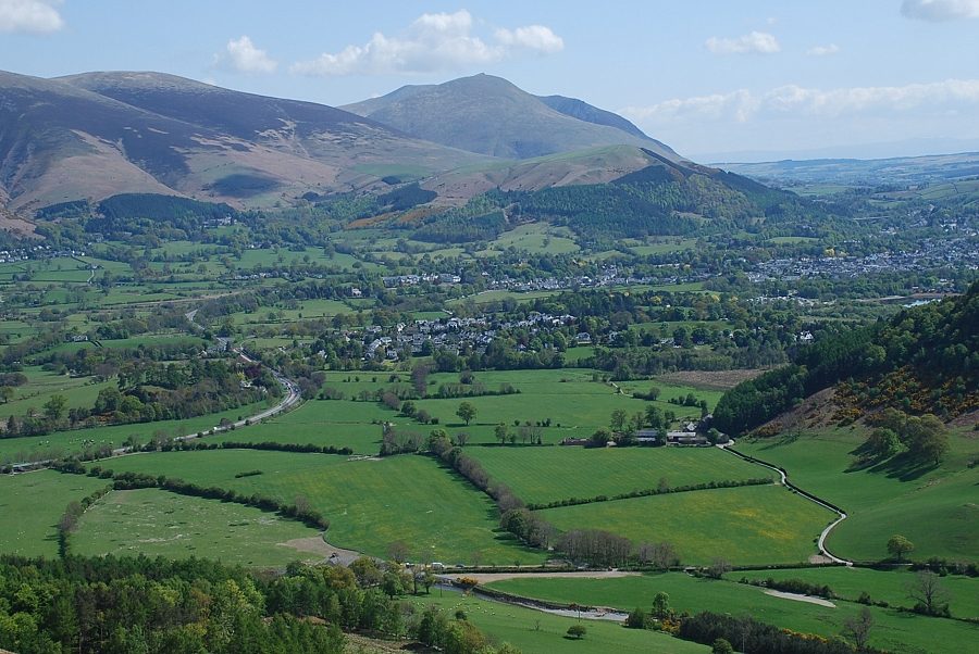
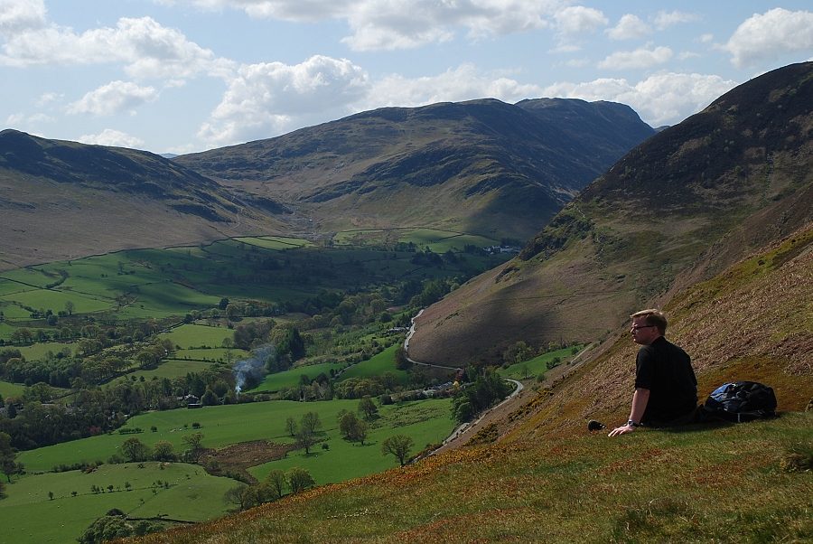
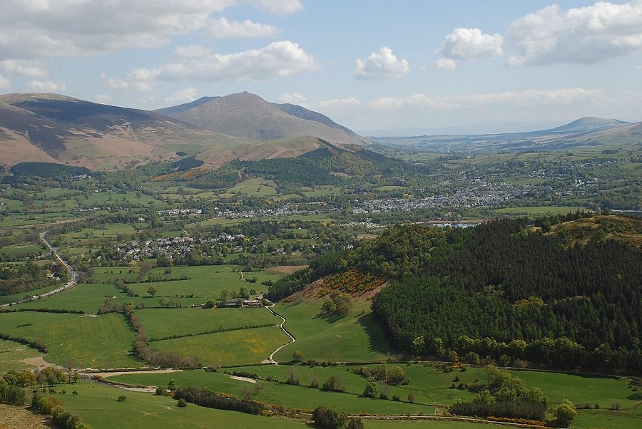
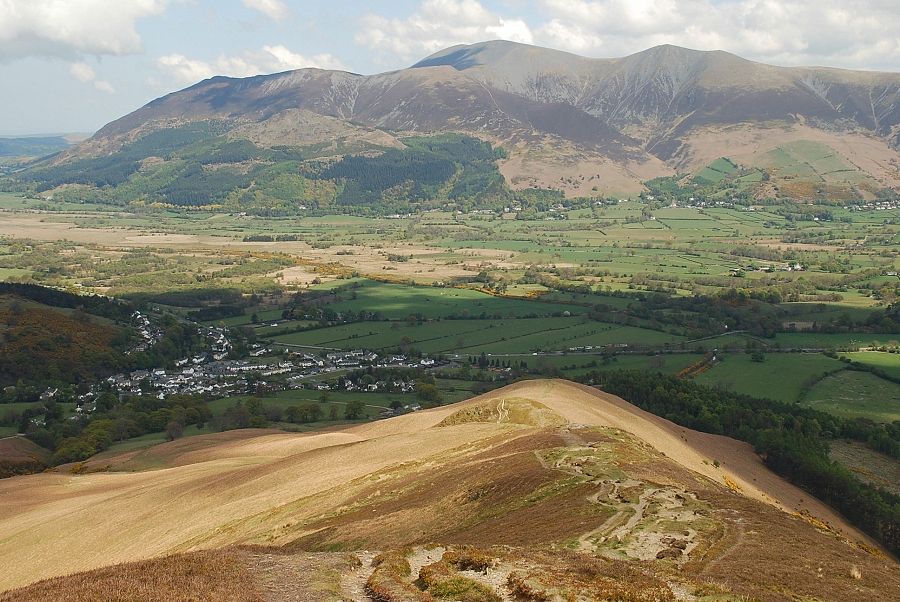
| Looking back to Braithwaite and Bassenthwaite Lake |
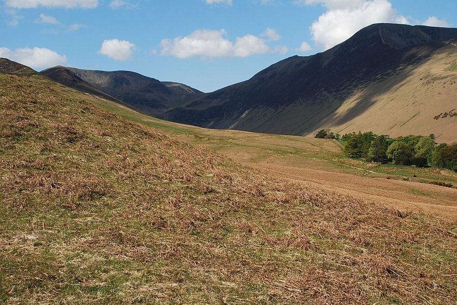 |
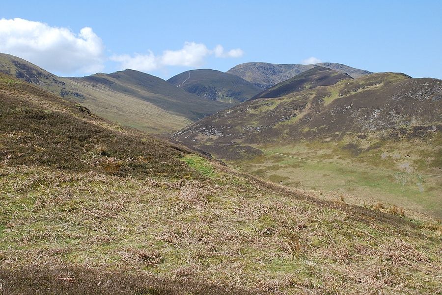
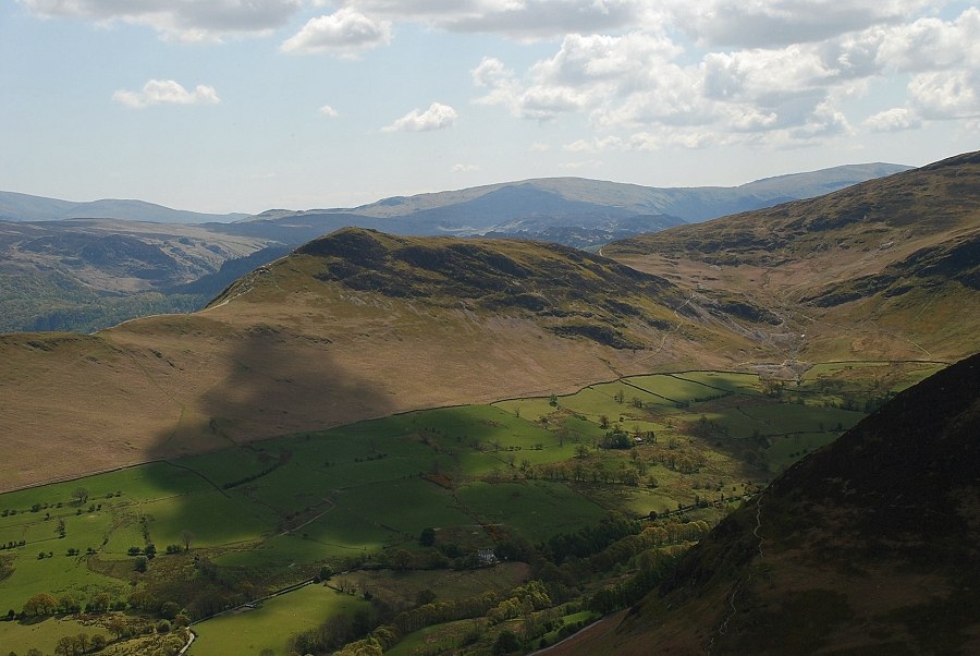
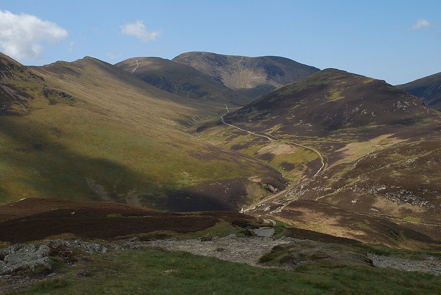
| Looking over High Coledale to Grisdale Pike. Coledale Hause is the low point on the horizon with Eel Crag on the left |
 |
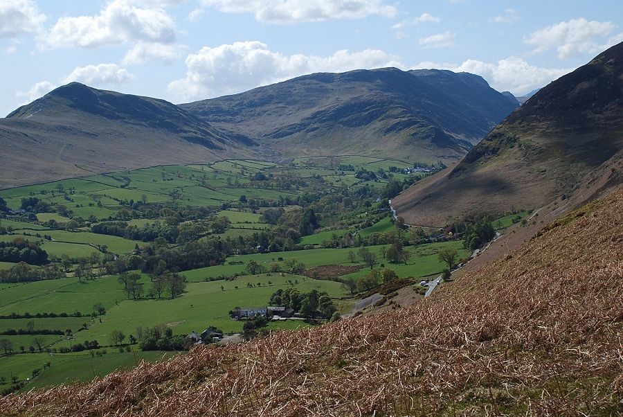
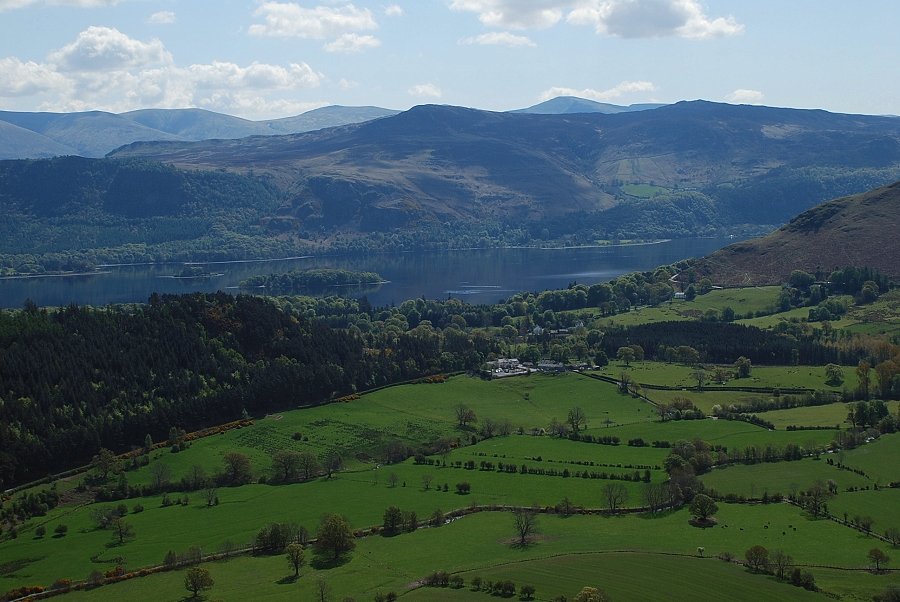
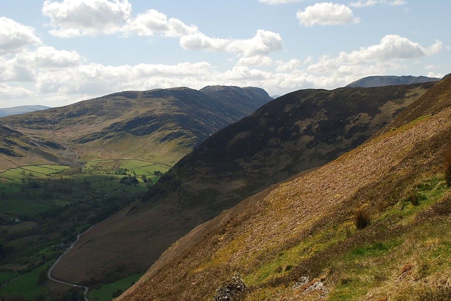
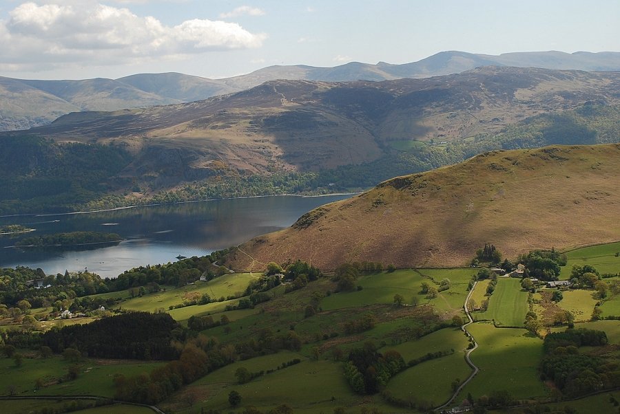
| Looking over the lower part of the Newlands Valley to Bleaberry Fell and High Seat above Derwent Water |
 |
| Higher on the ridge now looking to Bassenthwaite Lake |
 |
| From the same point looking east over the wooded slopes of Swinside to Clough Head and Great Dodd |
 |
| Looking north east to Blencathra |
 |
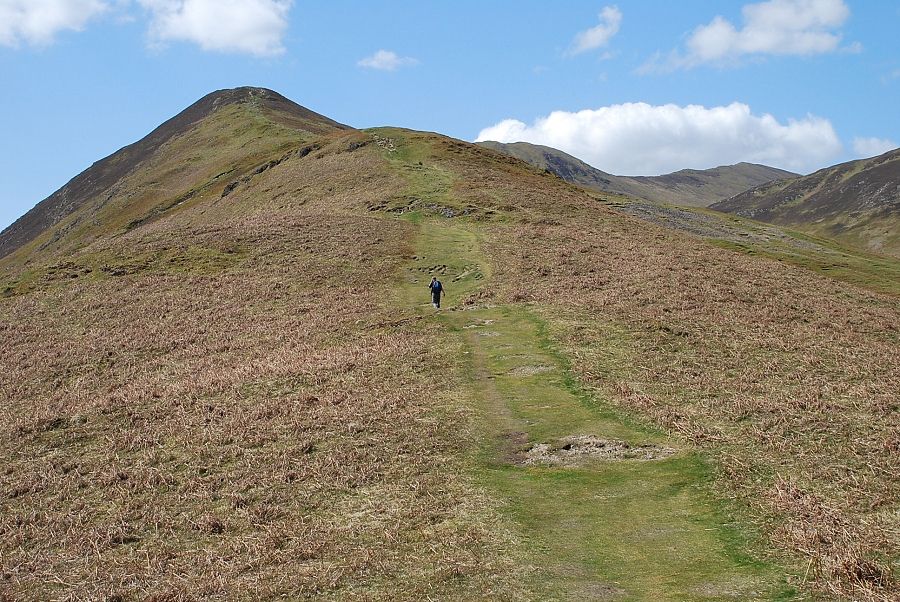
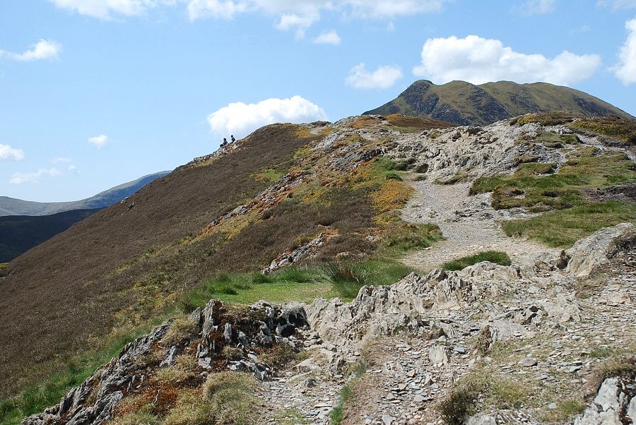
| Looking up the north east ridge from the top of the first rise |
 |
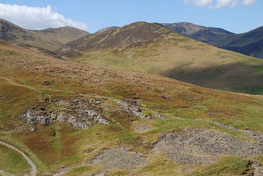
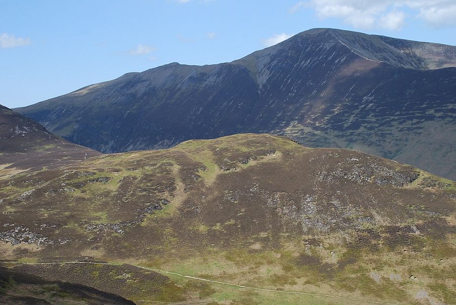
| Stile End and Outerside above High Coledale |
 |
| Catbells, Maiden Moor and High Spy across the Newlands Valley |
 |
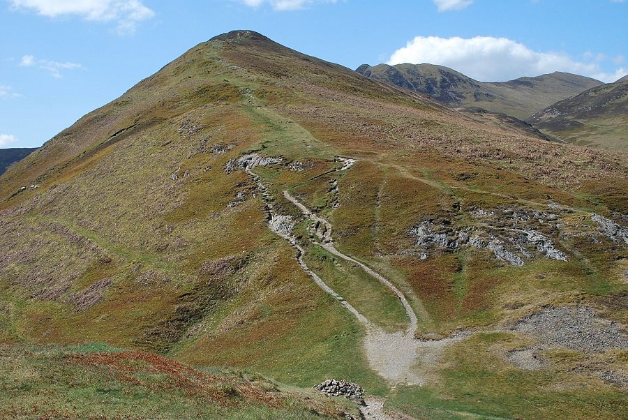
| Continuing on the middle section of the ridge |
 |
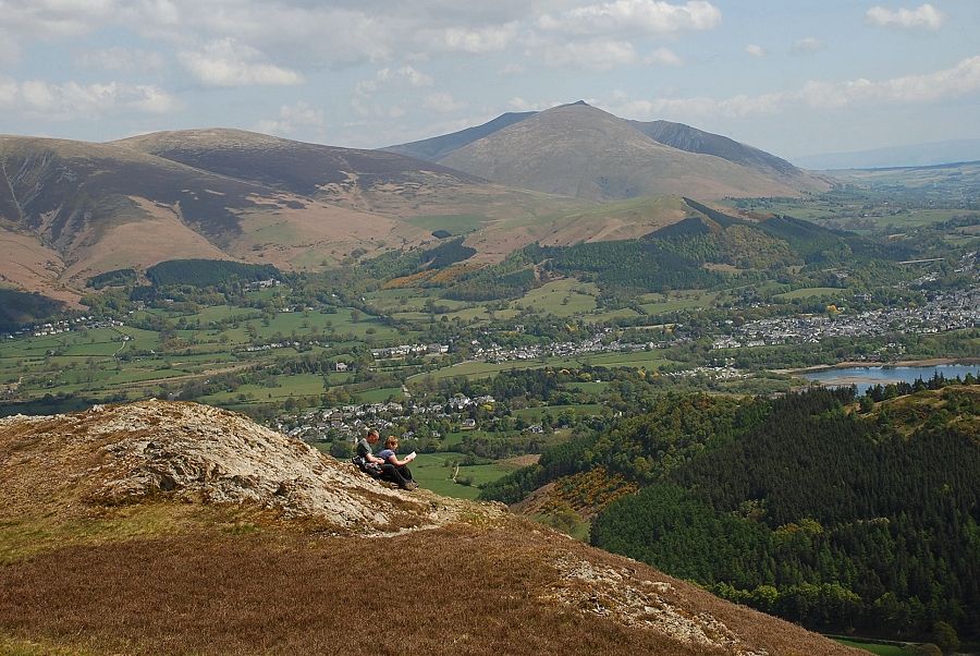
| Blencathra from half way point on the ridge |
 |
| Watson's Dodd, Stybarrow Dodd, Raise, Helvellyn and Nethermost Pike on the skyline above Bleaberry Fell and High Seat |
 |
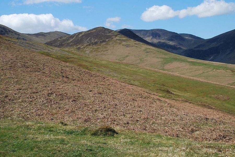
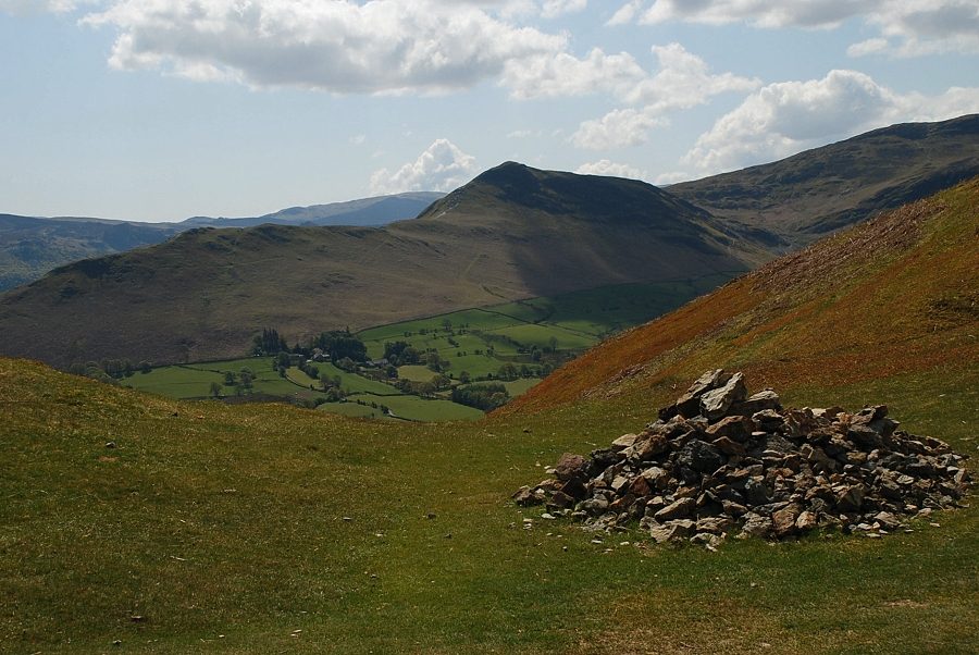
| The path reaches a sudden dip in the ridge which AW descibes as "a miniature pass" A faint path from High Coledale crosses the ridge here and descends to the left towards the site of the old Barrow Lead Mine. The extensive spoil heap on the eastern slopes of the fell, which is very unstable, is all that remains of the old mine which operated for over two hundred years before closing in the late 1880's |
 |
| Maiden Moor and High Spy |
 |
| Looking over the "pass" towards Stile End |
 |
| Catbells from the Barrow Mine pass |
 |
| Looking back from the other side of the pass towards Skiddaw |
 |
| The final section of the ridge above the pass |
 |
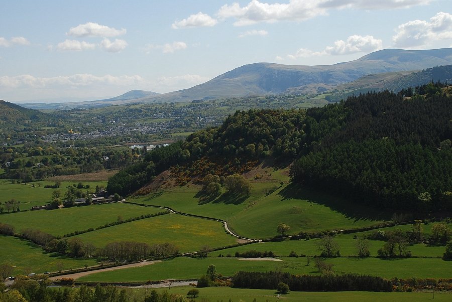
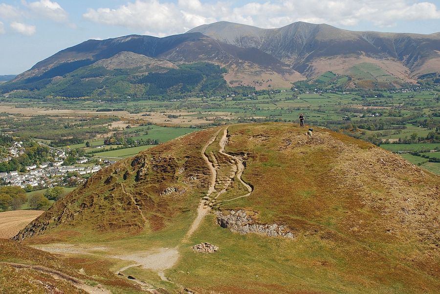
| Keswick and Blencathra |
 |
| Maiden Moor, High Spy and Dale Head across Rowling End on Causey Pike |
 |
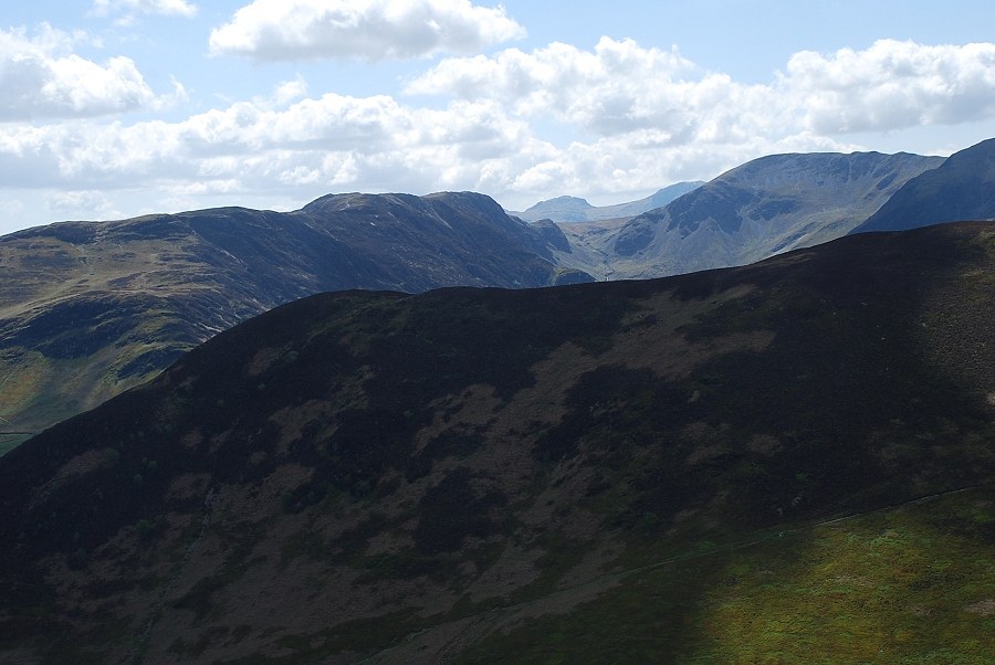
| Scar Crags, Sail and Eel Crag on the skyline |
 |
| Near the top of the ridge now looking back to Skiddaw |
 |
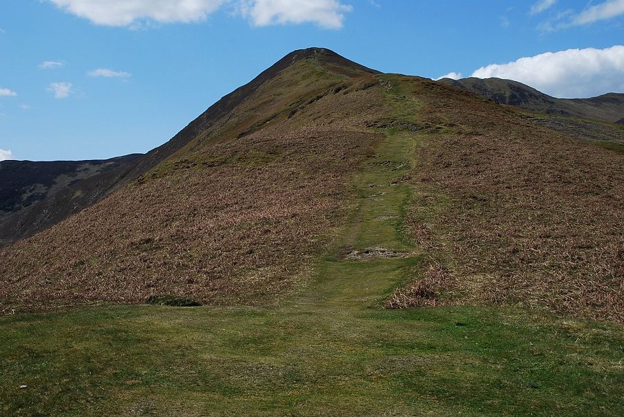
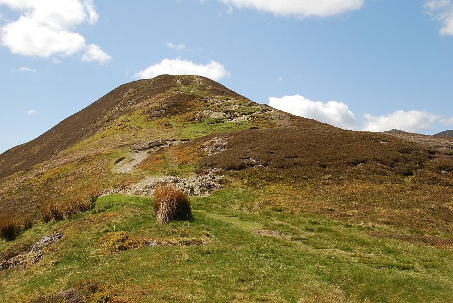
| Approaching the summit of Barrow |
 |
| Lonscale Fell and Blencathra from the summit of Barrow |
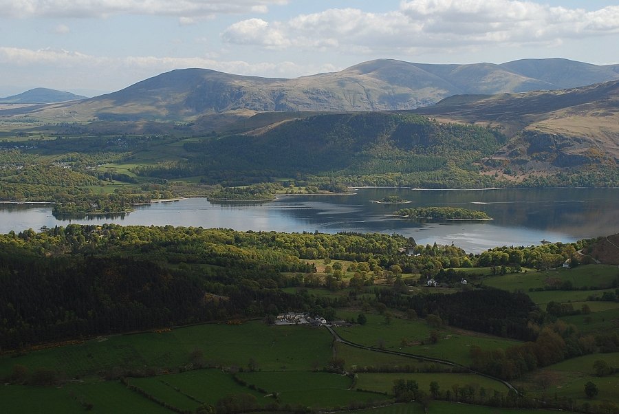 |
| Derwent Water from the summit |
 |
| The long line of eastern fells from Watson's Dodd to Dollywaggon Pike |
 |
| Catbells across the valley of Newlands |
 |
| Over Rowling End to Maiden Moor and High Spy. Esk Pike and Great End appear over the col between High Spy and Dale Head |
 |
| Causey Pike |
 |
| Scar Crags, Sail and Eel Crag with Outerside in the right foreground |
 |
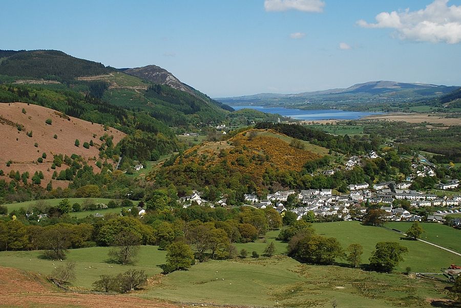
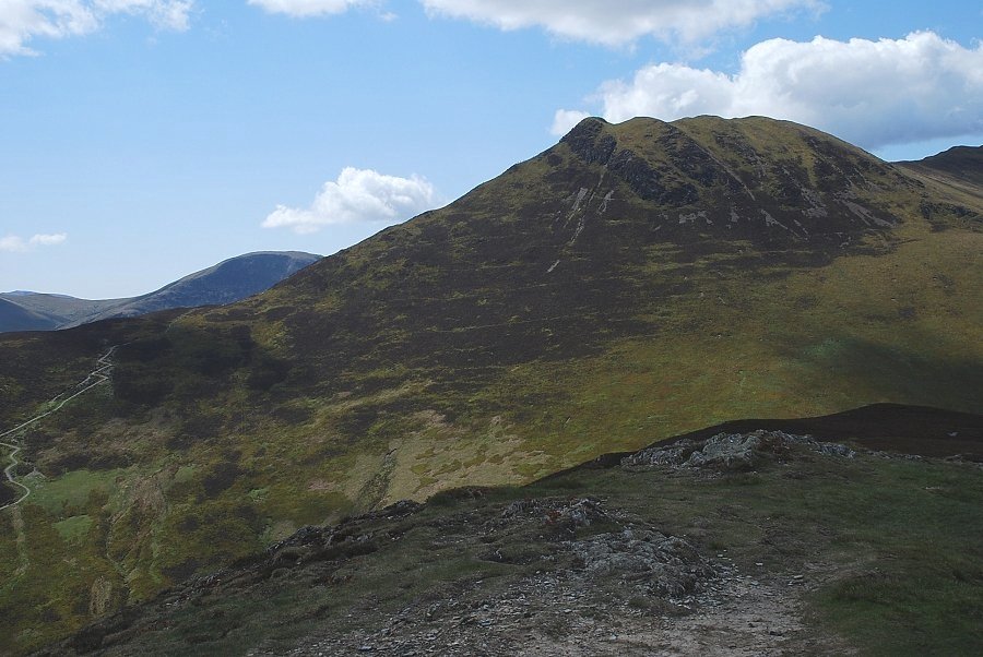
| Grisedale Pike across Stile End |
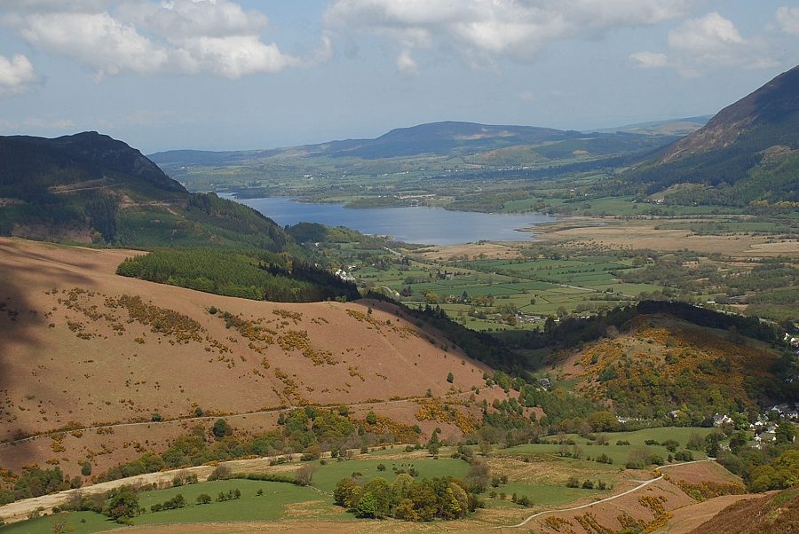 |
| Bassenthwaite Lake |
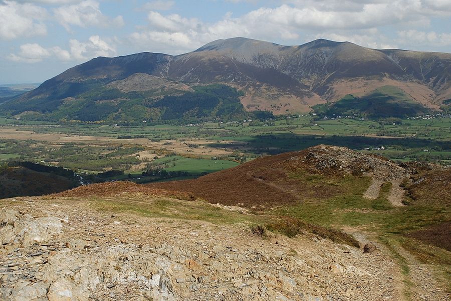 |
| Skiddaw from the summit of Barrow |
