 |
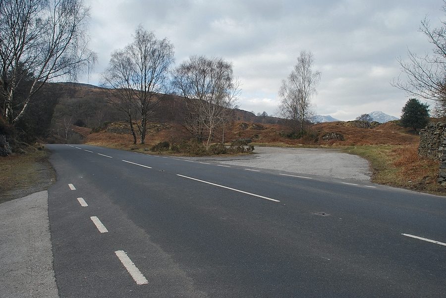
| The small parking area near Lake Bank is the starting point for this walk |
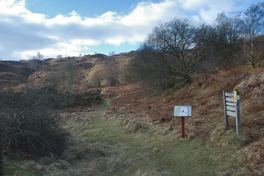 |
| An information board 170 yards to the north of the parking area indicates the start of a well defined path from Blawith Common |
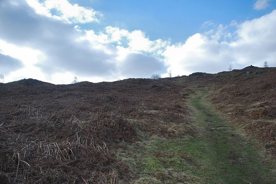 |
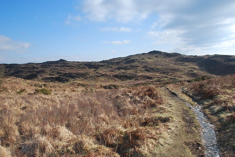
| Climbing up the initial rise above Blawith Common |
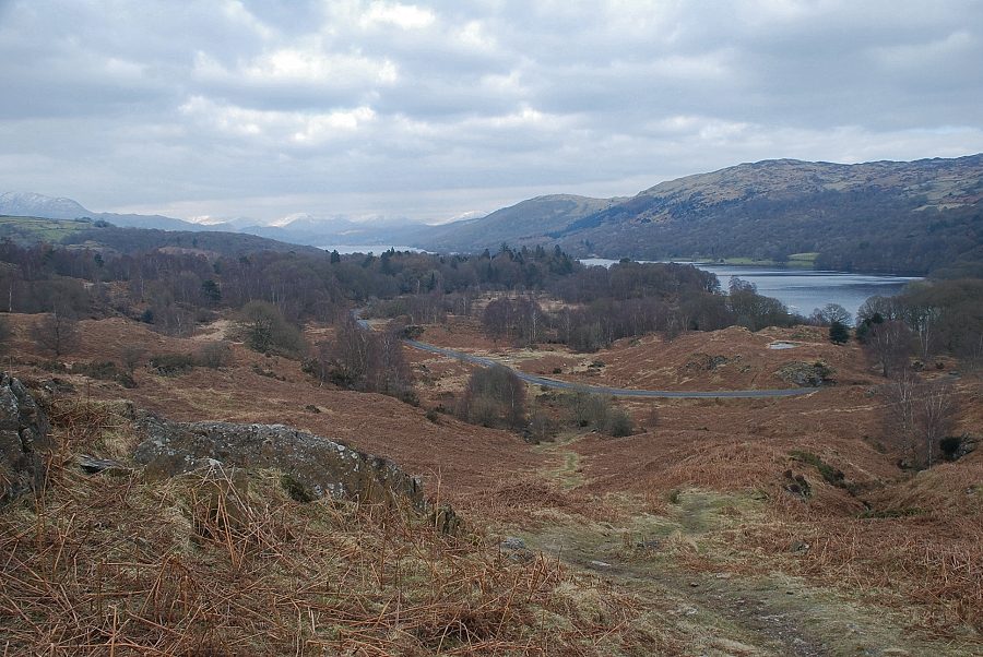 |
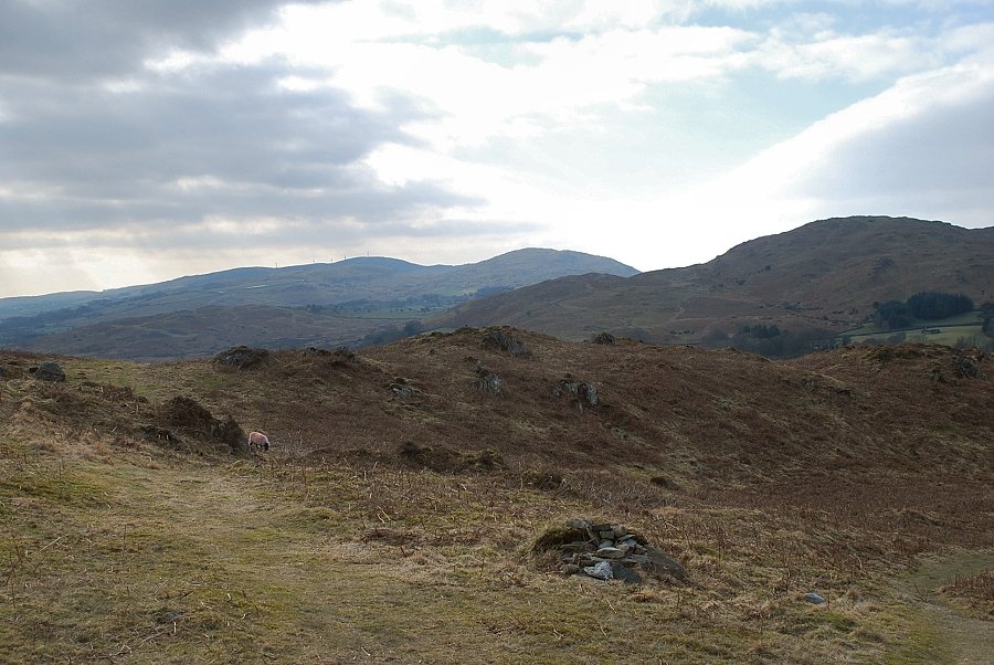
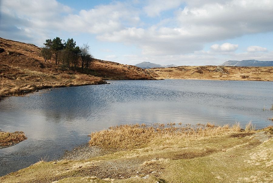
| Looking back to Coniston Water from the top of the initial rise |
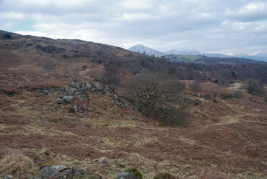 |
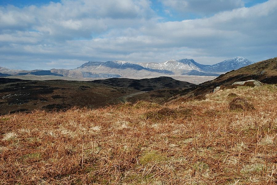
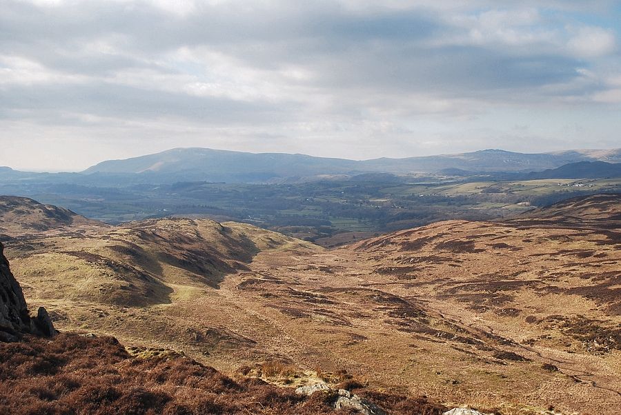
| Looking over to Coniston Old Man and Wetherlam |
 |
| From this position the very top of Beacon Fell's heather summit is just visible above the ridge in the centre of the photo |
 |
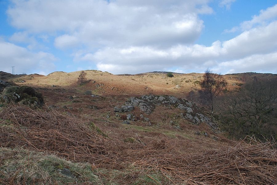
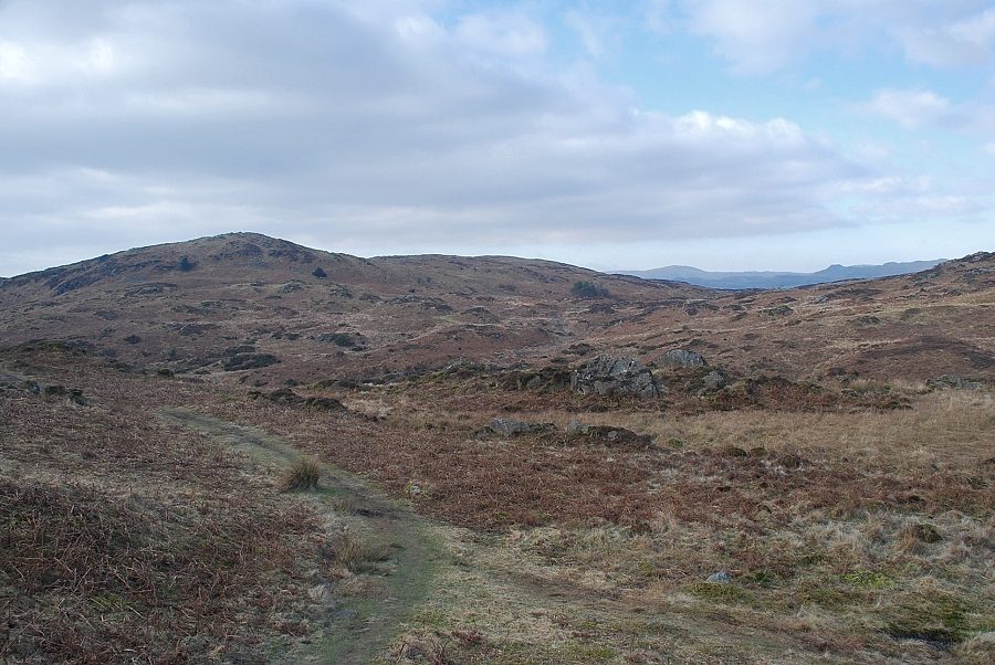
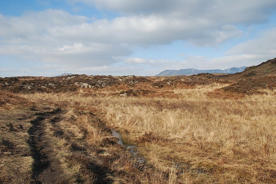
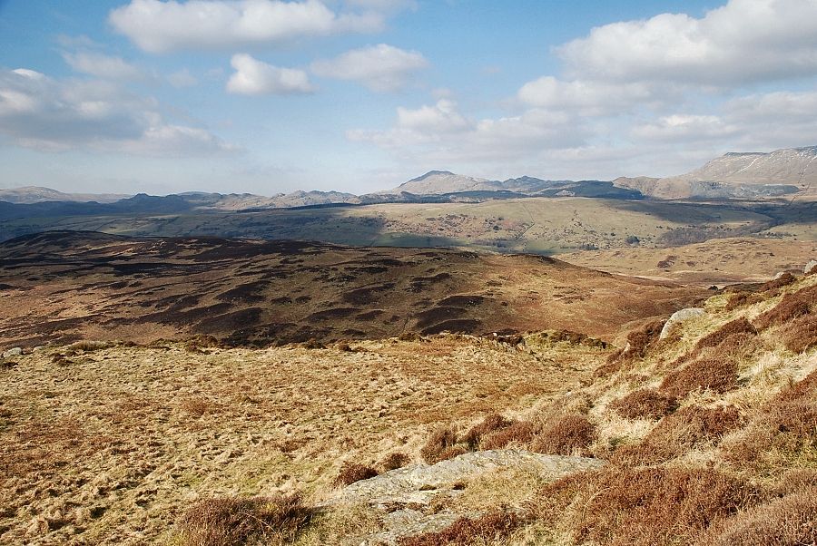
| From the top of the initial rise the the path descends slightly before resuming its climb towards the rock tors on Slatestone Fell |
 |
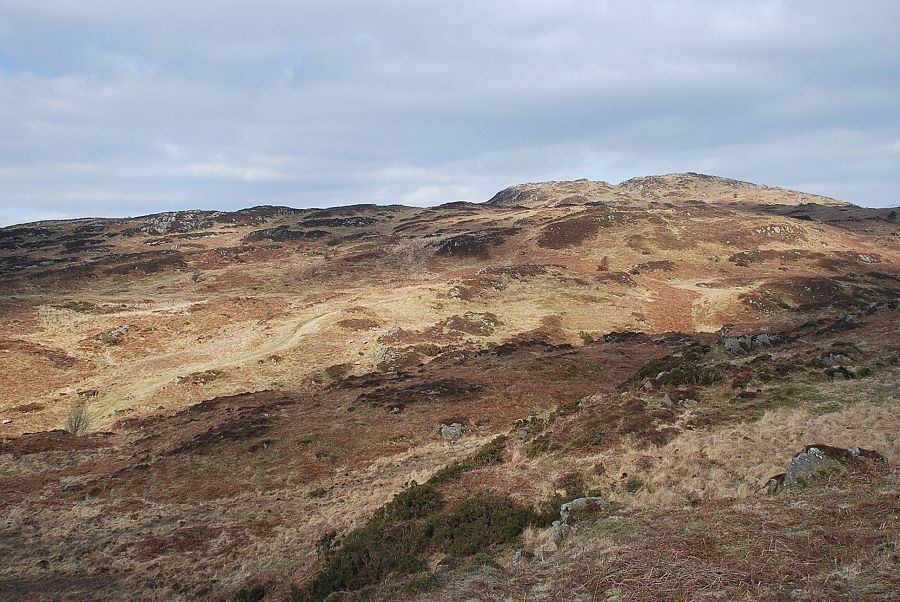
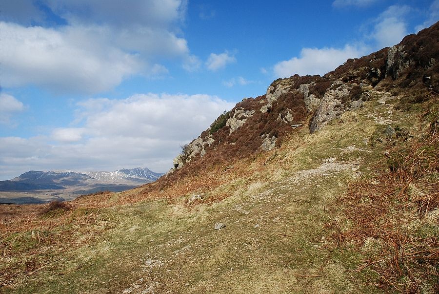
| Looking over to Beacon Fell from Slatestone Fell |
 |
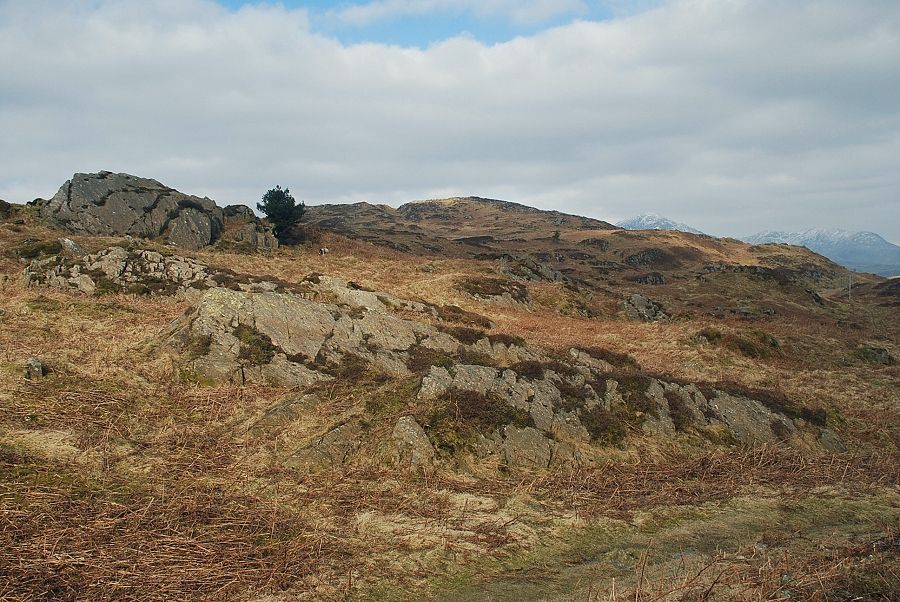
| Burney and Tottlebank Height from Slatestone Fell |
 |
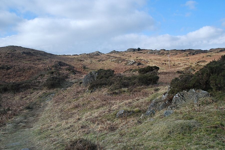
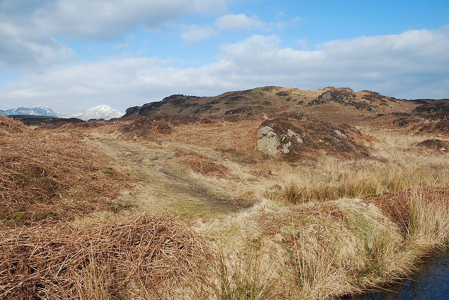
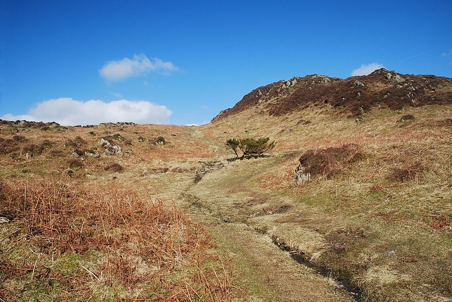
| From Slatestone Fell the path descends to the valley of Tarn Beck |
 |
| The summit of Beacon Fell from the descent path to Tarn Beck |
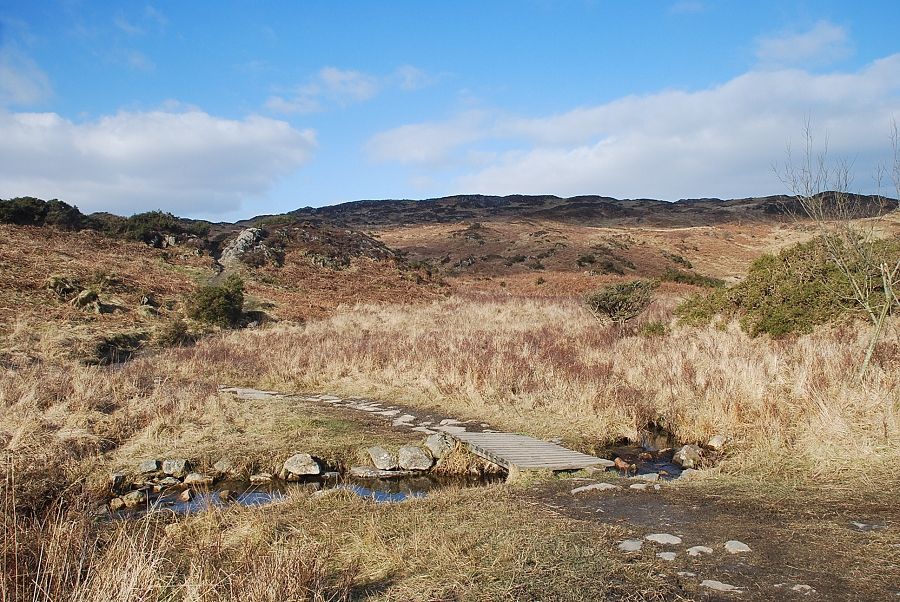 |
| The footbridge over Tarn Beck. The path crosses the bridge and continues on towards Beacon Tarn |
 |
| Looking back to Slatestone Fell from the path to Beacon Tarn |
 |
| Caw, White Pike, White Maiden and Brown Pike appear over the ridge on the approach to Beacon Tarn |
 |
| Wool Knott from the approach to Beacon Tarn |
 |
| Beacon Fell and Bleak Knott ahead with Dow Crag and Coniston Old Man on the left horizon |
 |
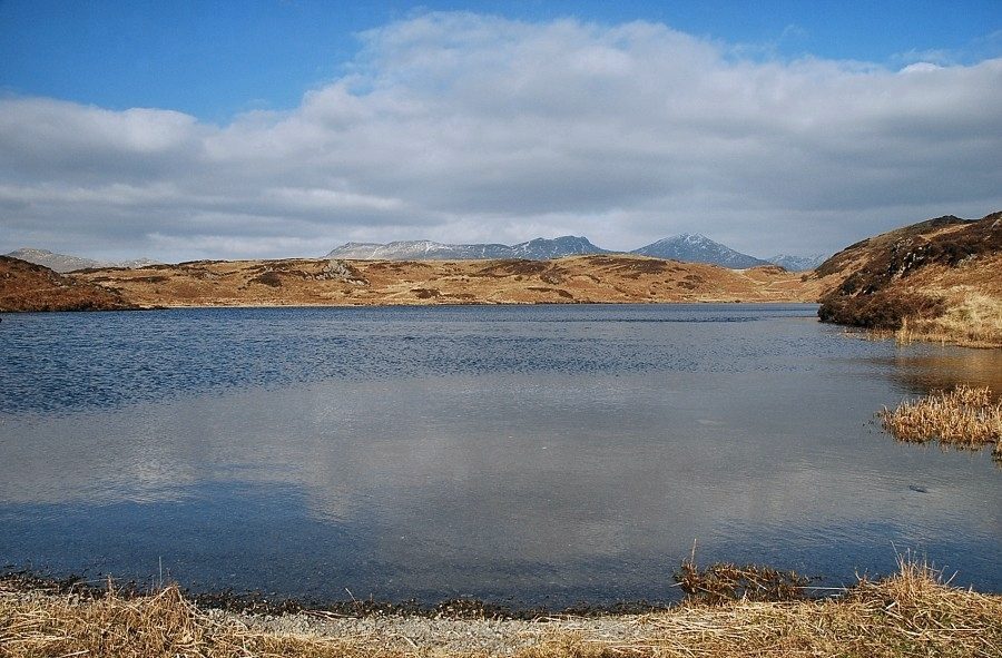
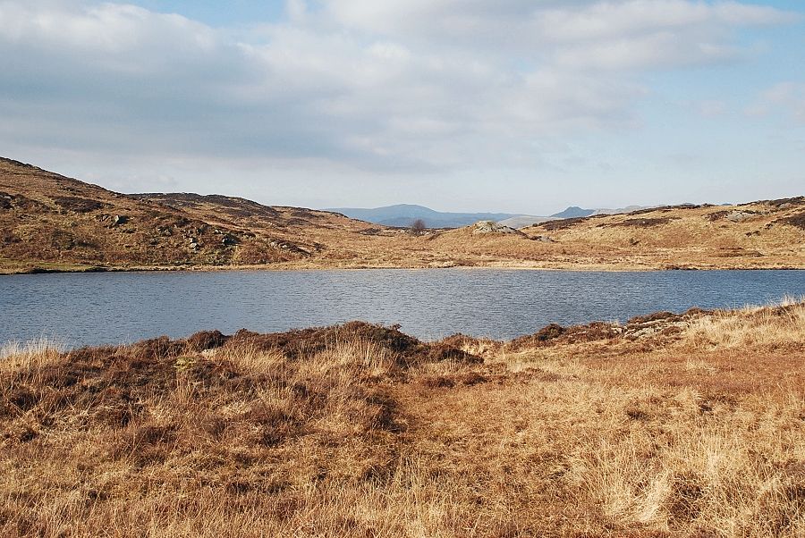
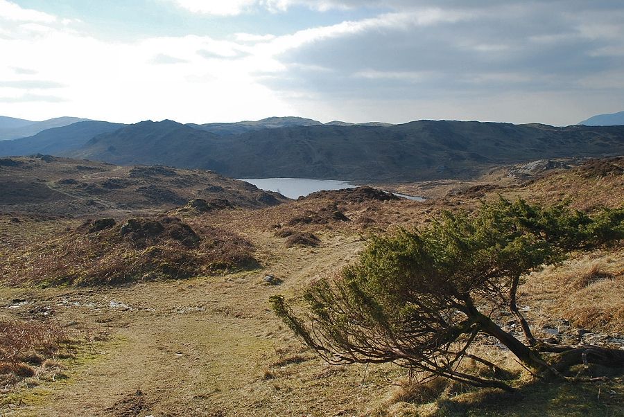
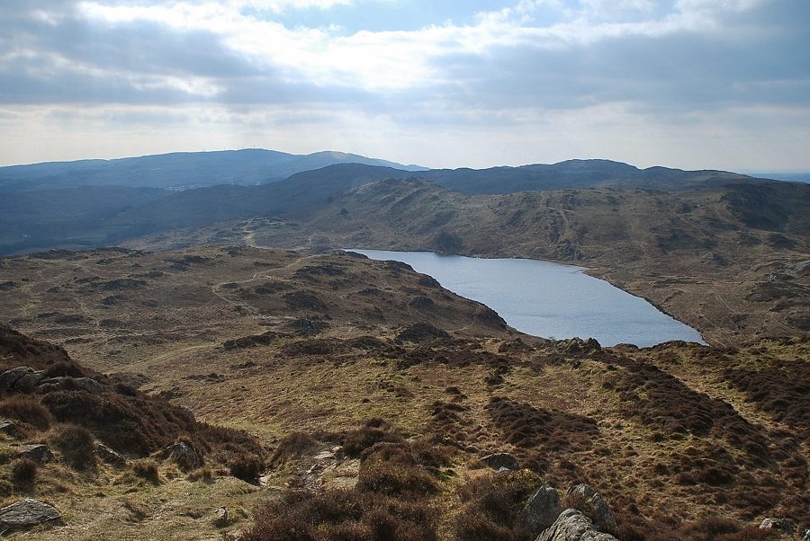
| Beacon Tarn |
 |
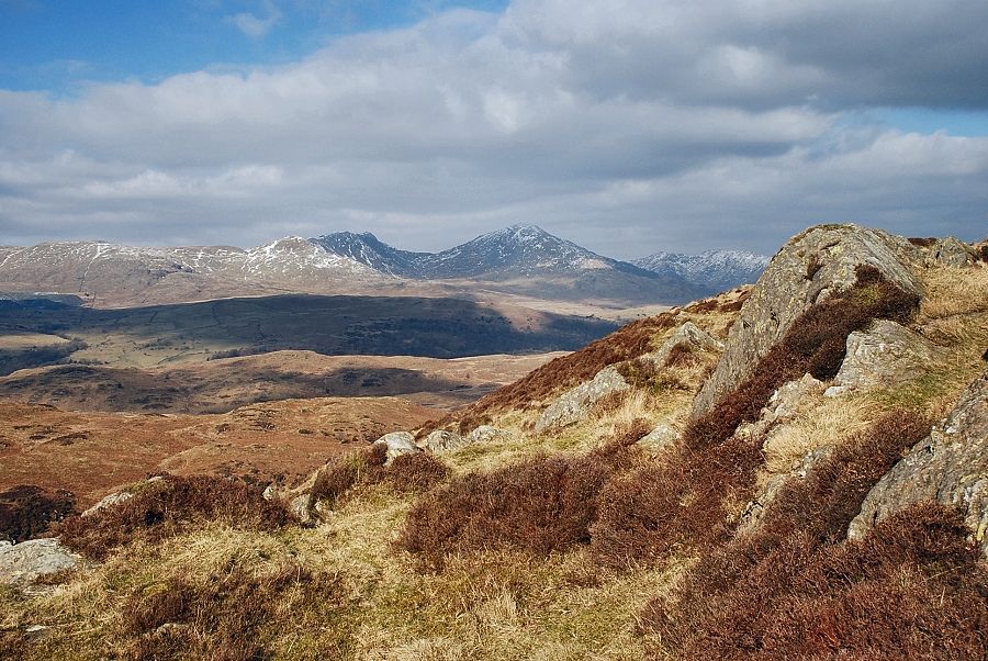
| Dow Crag and Coniston Old Man across Beacon Tarn |
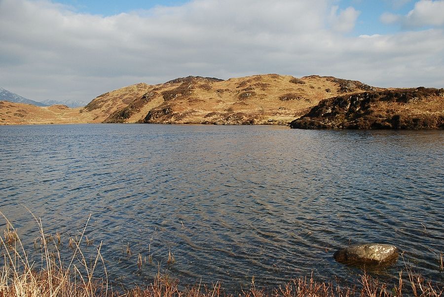 |
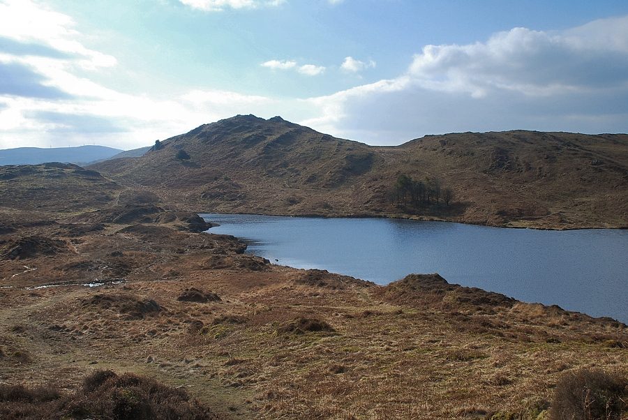
| Beacon Fell and Bleak Knott from the southern end of Beacon Tarn |
 |
| The ascent path continues on the eastern side of Beacon Tarn over the undulating top of Bleak Knott |
 |
| Looking over to Whit Fell and Stickle Pike |
 |
| Beyond Bleak Knott there is a choice of paths. The most widely used one bears right, a more direct one descends slightly before traversing to the left |
 |
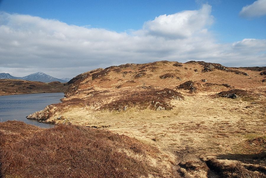
| Looking back to Wool Knott and Beacon Tarn from the start of the climb to the summit of Beacon Fell |
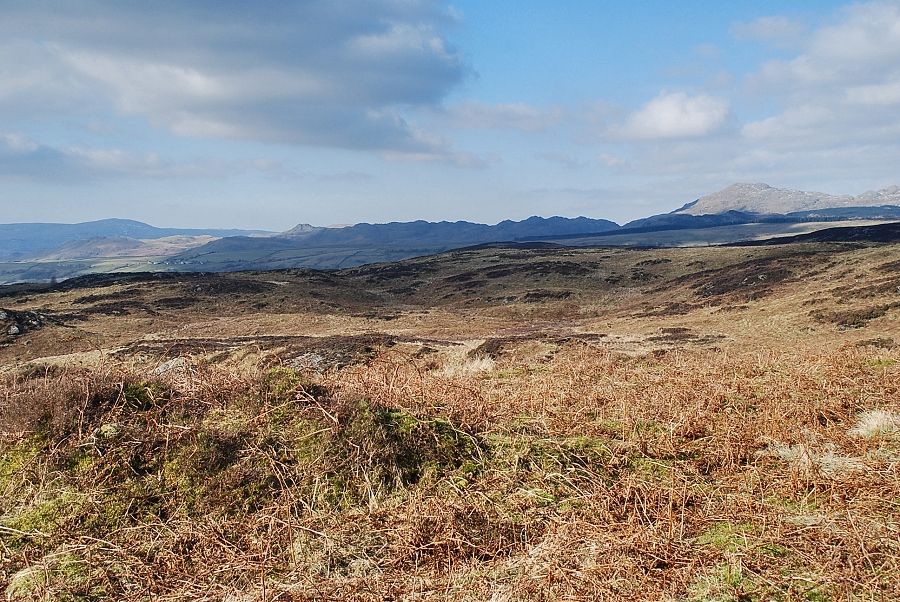 |
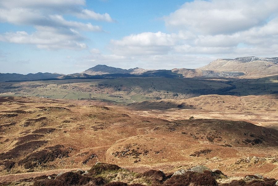
| Looking over to the Dunnerdale fells |
 |
| White Crag, White Maiden, Dow Crag and Coniston Old Man |
 |
| On the traversing path to the level shoulder below the western flank of Beacon Fell |
 |
| Looking back to Beacon Tarn from the traversing path |
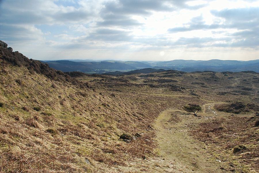 |
| Looking back to the Crake Valley |
 |
| Caw and the Dunnerdale fells from the traverse path |
 |
| From the level shoulder the path makes a short, but steep, climb through the rock outcrops to reach the summit ridge |
 |
| Dow Crag and Coniston Old Man from the summit ridge |
 |
| A last look back to Beacon Tarn, unfortunately it cannot be seen from the actual summit |
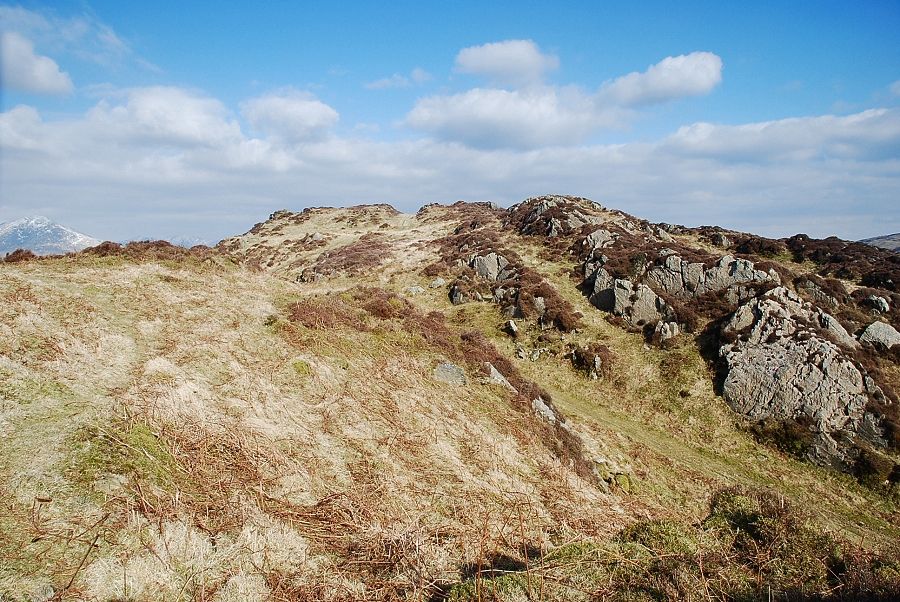 |
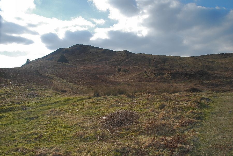
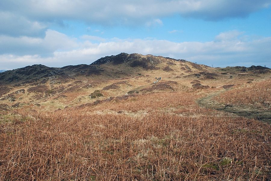
| The summit of Beacon Fell comes into view |
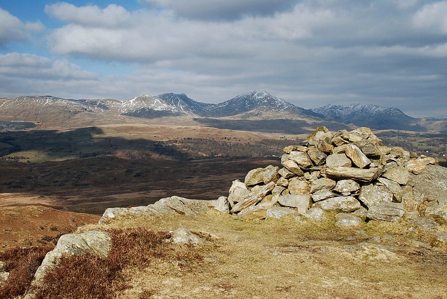 |
| The summit cairn on Beacon Fell |
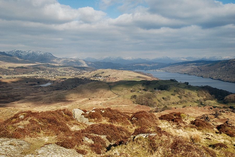 |
| The head of Coniston Water from the summit of Beacon Fell |
 |
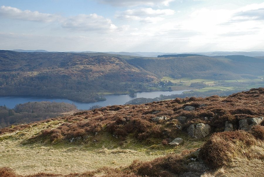
| The middle reaches of Coniston Water from the summit of Beacon Fell |
 |
| The foot of Coniston Water from the summit of Beacon Fell |
 |
| Black Combe and Buck Barrow from the summit of Beacon Fell |
 |
| Caw, White Pike and White Maiden from the summit of Beacon Fell |
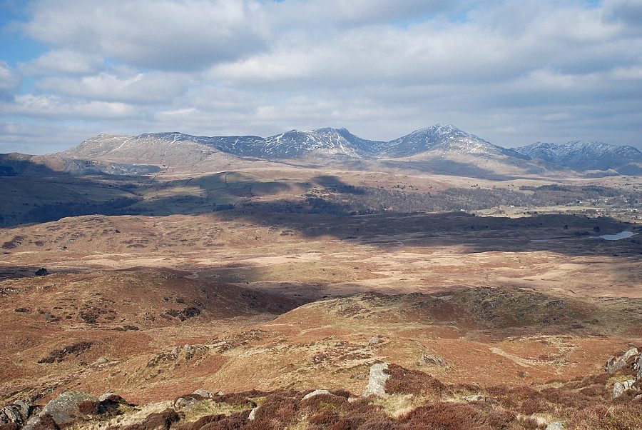 |
| The Coniston fells from the summit of Beacon Fell |
