
| Birks - Route One |
| Start - Patterdale NY 395 159 | Distance - 1.8 miles | Ascent - 1,590 feet | Time - 1 hour : 30 minutes |
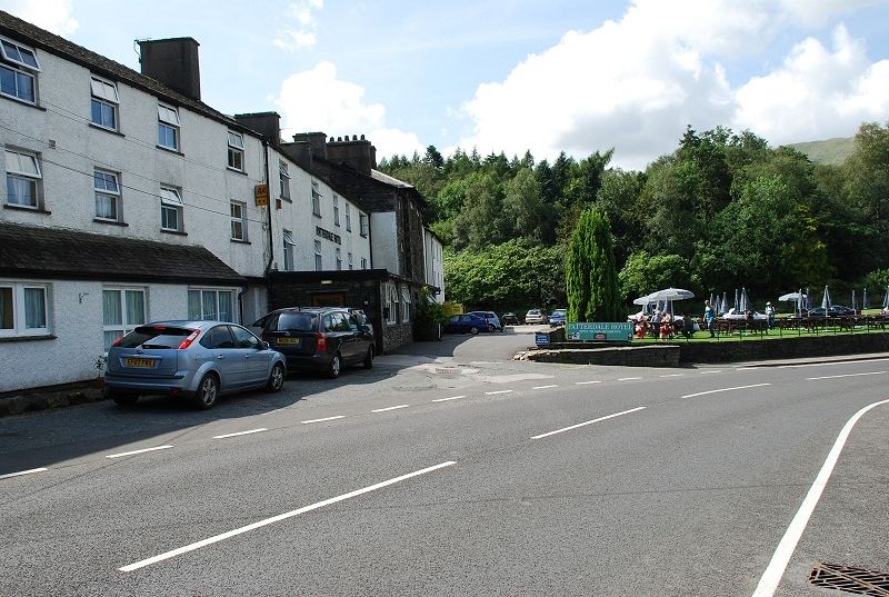 |
| The Patterdale Hotel, the starting point of this walk |
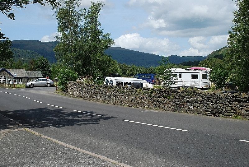 |
| Opposite the hotel is a small car park which is very popular and tends to fill up quite early in the day |
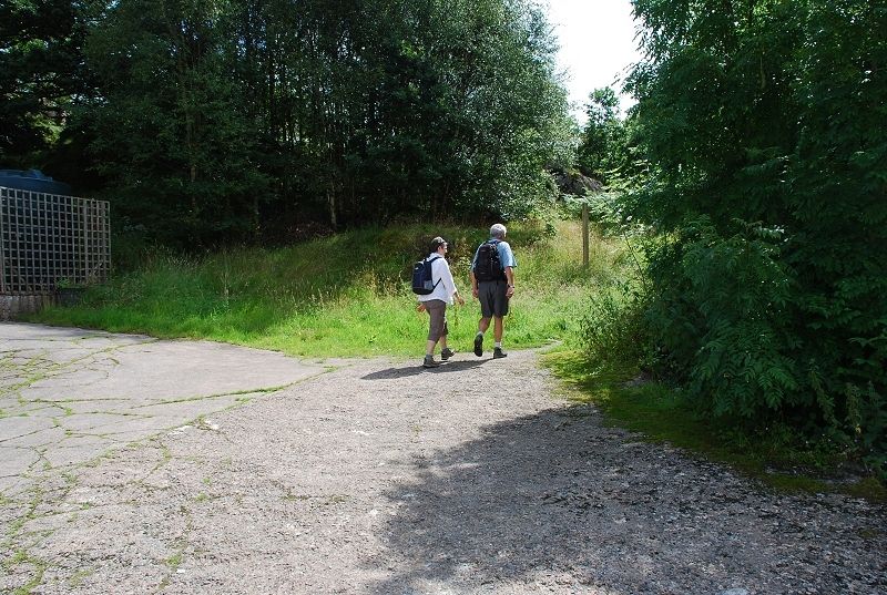 |
| At the rear of the hotel a signpost indicates the footpath through Mill Moss |
 |
| A handgate at the west side of the moss enclosure gives access to a well worn path leading towards Grisedale |
 |
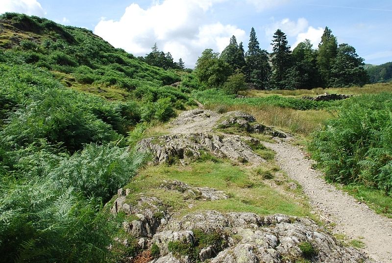
| Looking back along the path from Mill Moss |
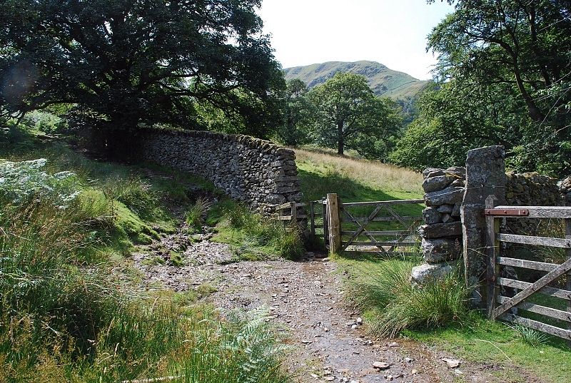 |
| In a few hundred yards the path goes through a gate to enter Glemara Park (although it is shown on new maps as Glenamara Park) |
 |
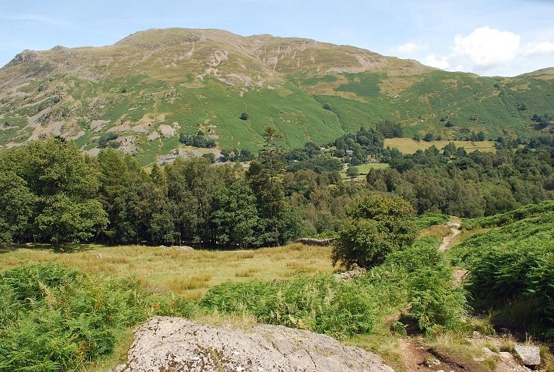
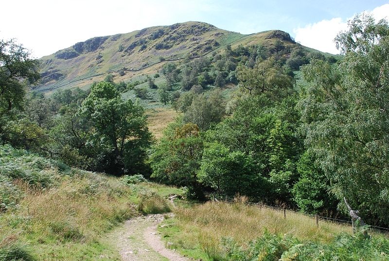
| Birks from Glemara Park, Thornhow End the route of ascent rises from the right |
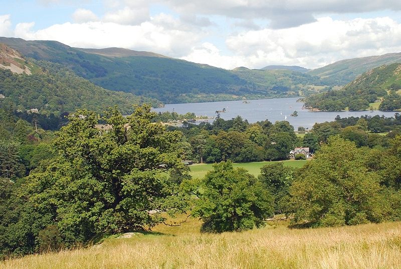 |
| Looking over to Ullswater from the path through Glemara Park |
 |
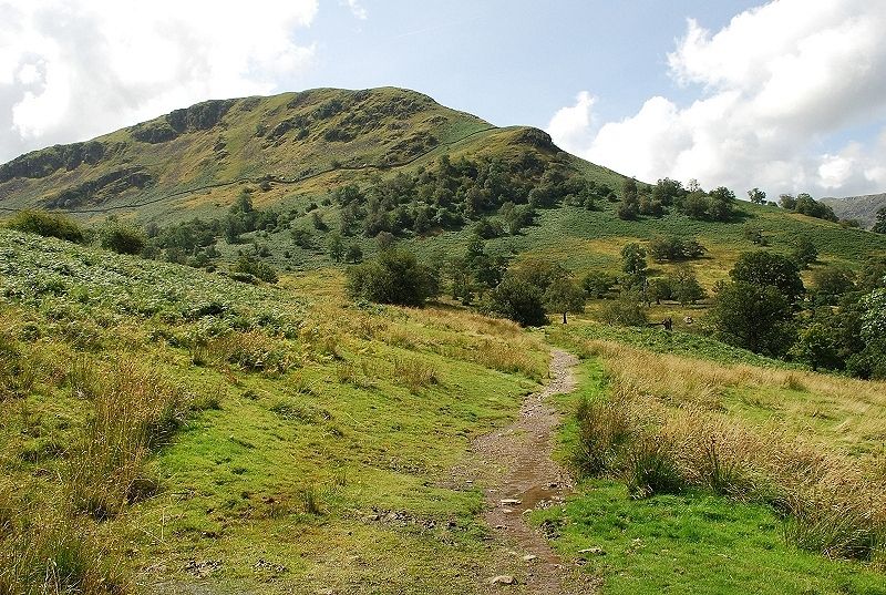
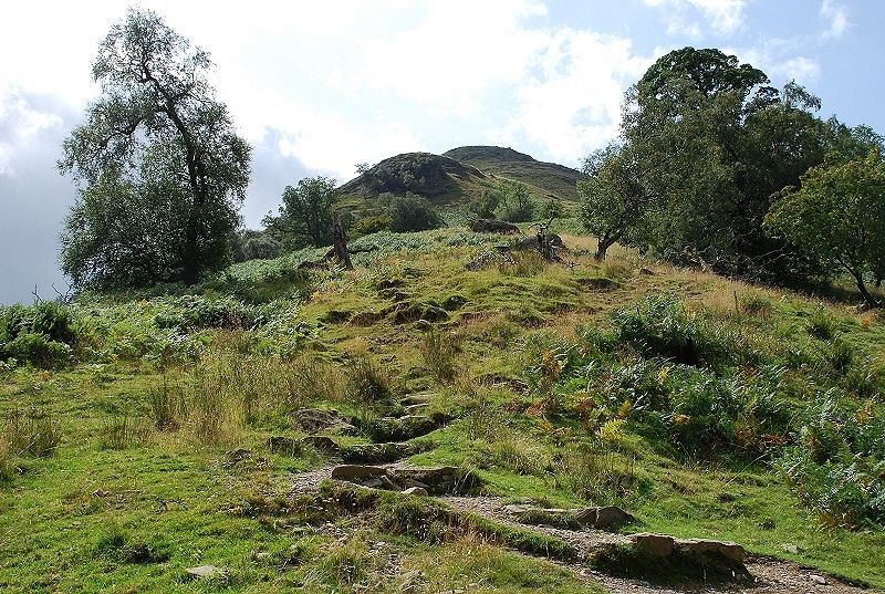
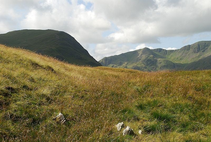
| Birks from where the path descends to ford Hag Beck |
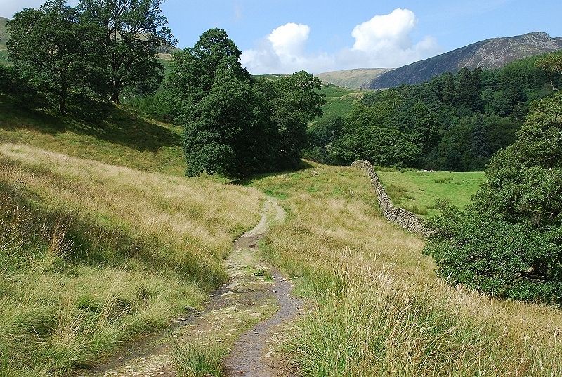 |
| Across the beck and approaching the foot of Thornhow End seen here rising beyond the trees in centre foreground |
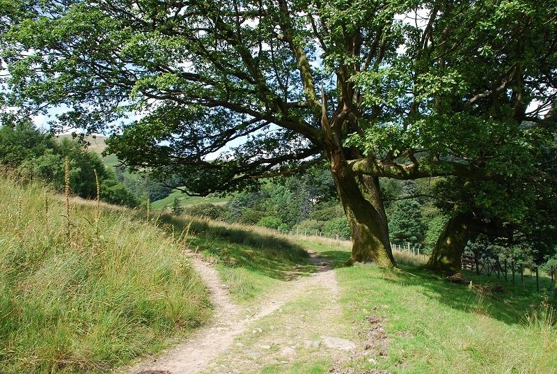 |
| The ascent path begins near a couple of trees, the main path carries on into Grisedale |
 |
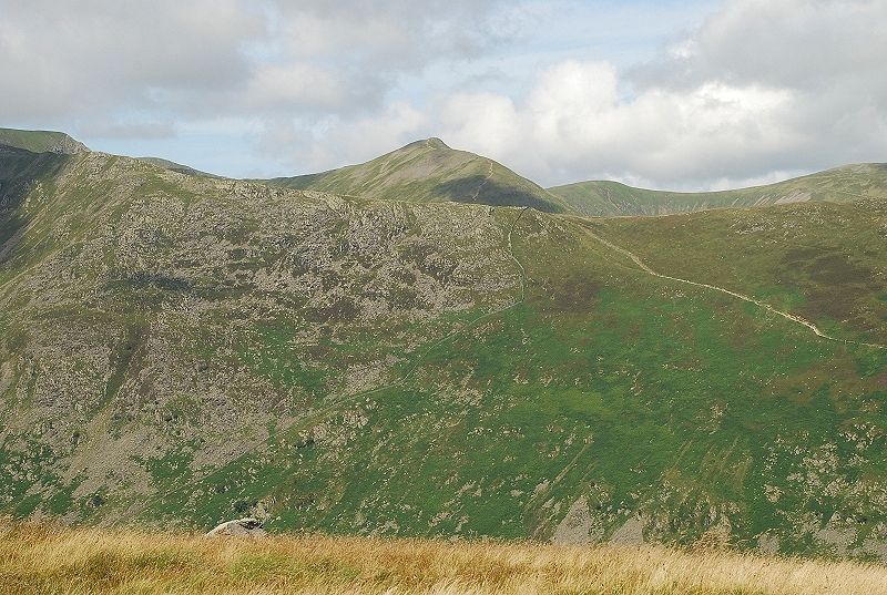
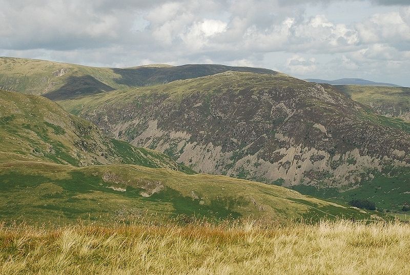
| Looking to Sheffield Pike which has been prominent during the walk through Glemara Park |
 |
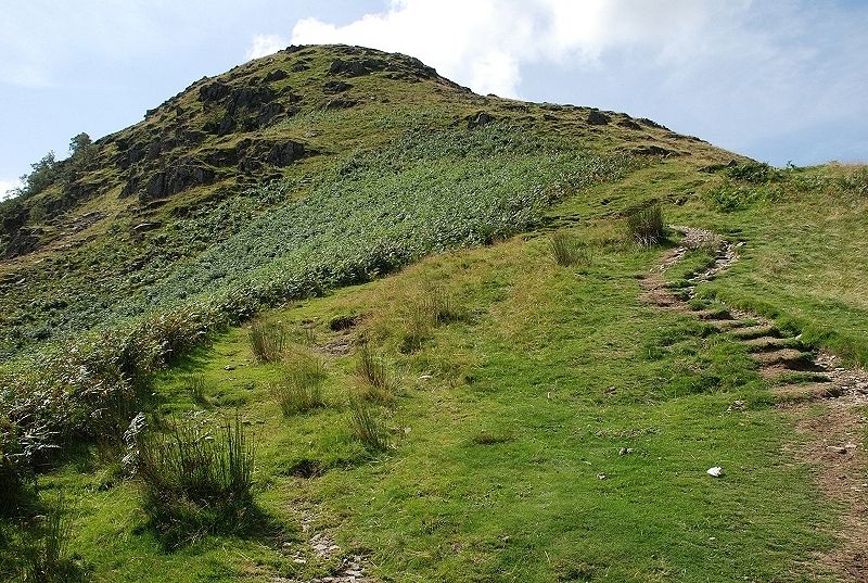
| Beginning the steep ascent of Thornhow End, the lower part of the path is well used as it is a popular route to St.Sunday Crag |
 |
| Looking down the lower part of the ridge |
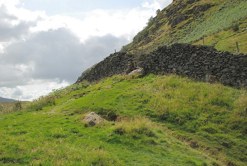 |
| About a third of the way up the ridge a stile crosses the Glemara Park boundary wall |
 |
| Over the stile and Catstycam appears beyond the Hole in the Wall on the ridge to Striding Edge |
 |
| Beginning the climb of the upper ridge, the main path soon veers right to make a more gradual ascent along the western flank of Birks to the col under the north-east ridge of St Sunday Crag. Continue straight on up the ridge on a much fainter path |
 |
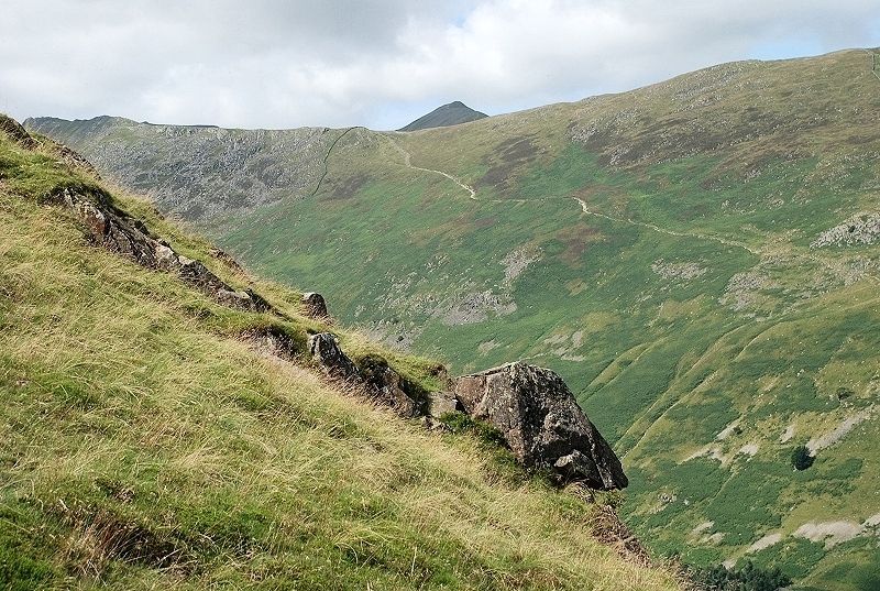
| Looking down the upper part of Thornhow End to the Glemara Park wall, the St, Sunday Crag path can be seen making a sensible escape to the left, this section is much steeper than the lower part |
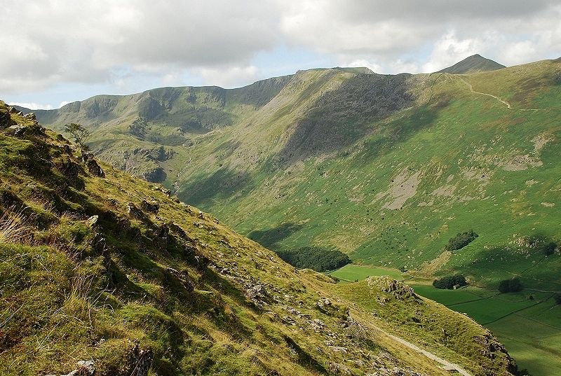 |
| Looking across Grisedale to Nethermost Pike, Helvellyn and Catstycam |
 |
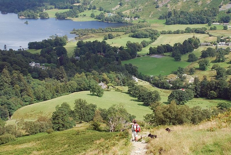
| Looking across Patterdale to Place Fell |
 |
| Nearing the top of Thornhow End |
 |
| The slope eventually eases as St.Sunday Crag comes into view |
 |
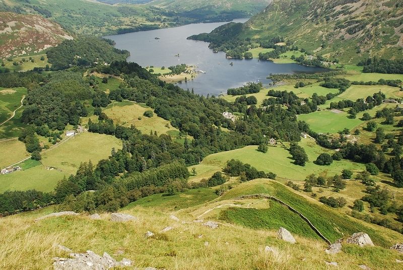
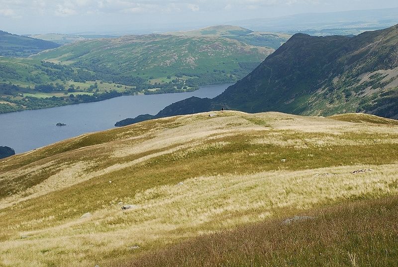
| Ullswater from the top of Thornhow End |
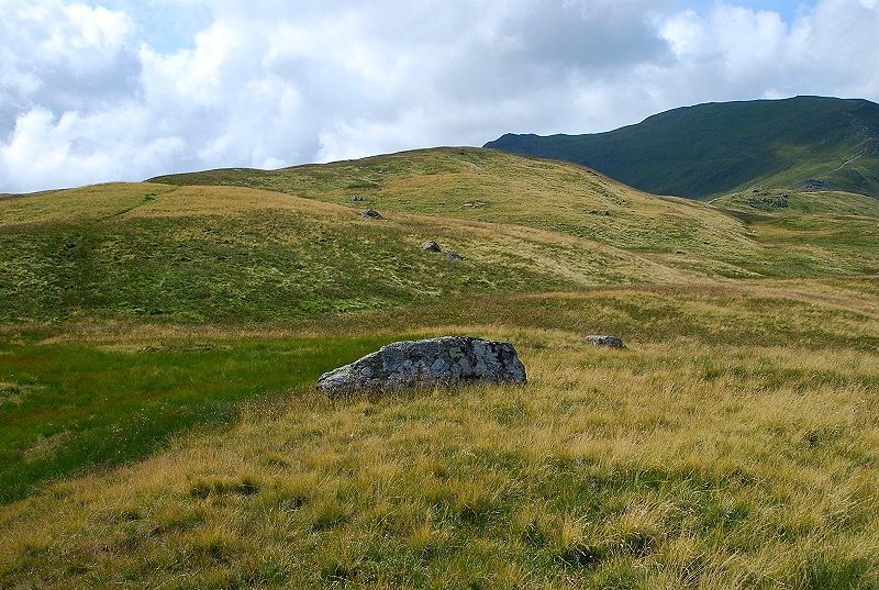 |
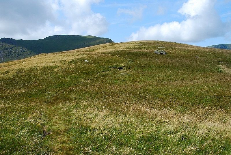
| The wide curving summit ridge of Birks from Thornhow End |
 |
| Dollywaggon Pike and Nethermost Pike from Thornhow End |
 |
| On the climb to the summit, a look back along the ridge to Thornhow End |
 |
| The upper part of the summit ridge |
 |
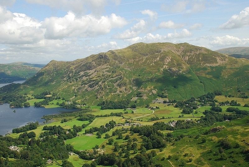
| Looking back to Place Fell, the top of Thornhow End can be seen on the extreme left edge of the photo |
 |
| Approaching the summit |
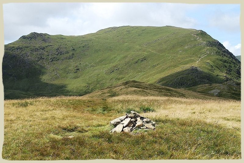 |
| The summit of Birks, at least the one usually accepted to be the top although the point further along the ridge directly above the cairn has a spot height of 2,040ft, nevertheless this is the one AW sketched Birks - page 5 |
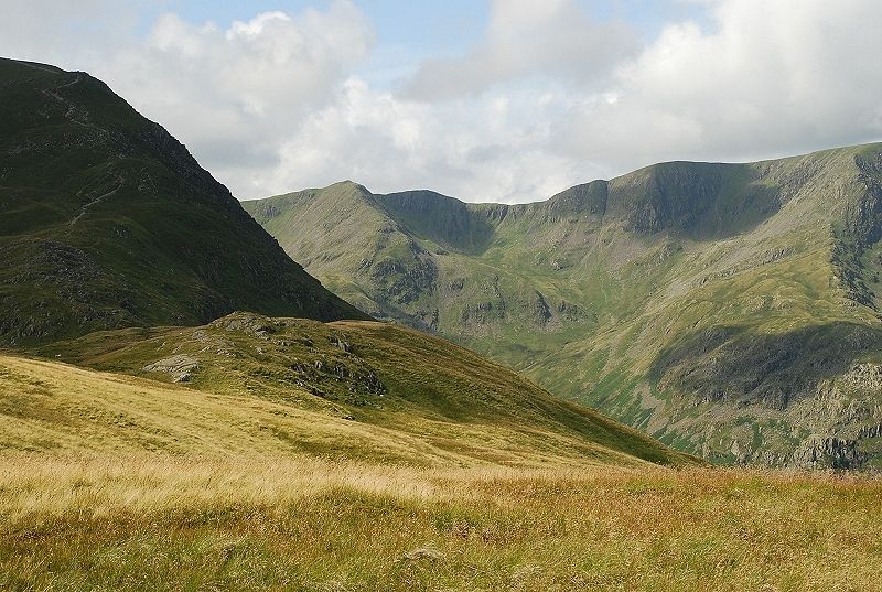 |
| The north-east ridge of St.Sunday Crag rises on the left with Dollywaggon Pike on its right |
 |
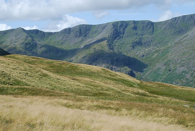
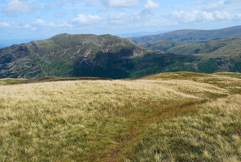
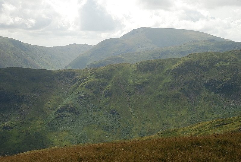
| Nethermost Pike and Helvellyn across Grisedale |
 |
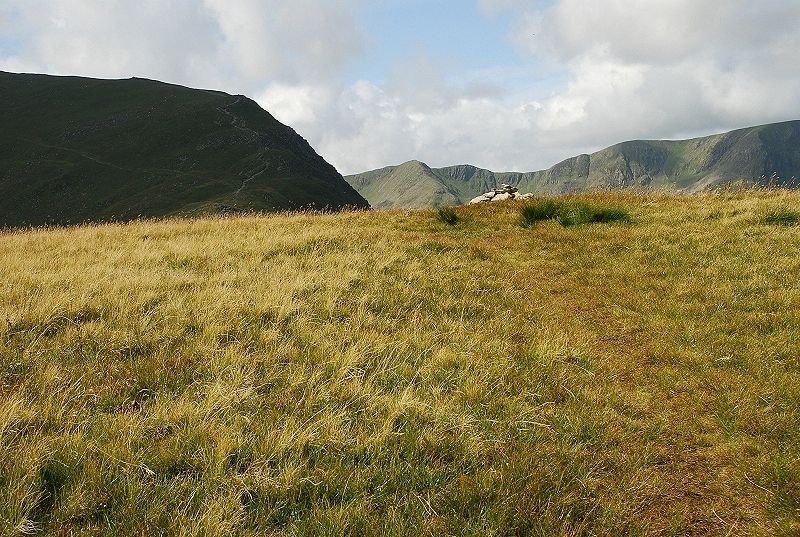
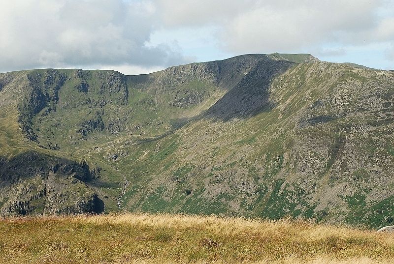
| Catstycam above the Hole in the Wall with White Side and the ridge leading on to Raise |
 |
| Sheffield Pike |
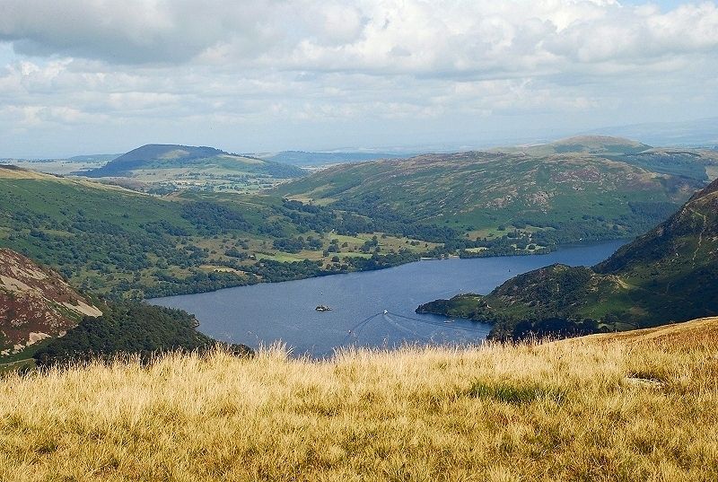 |
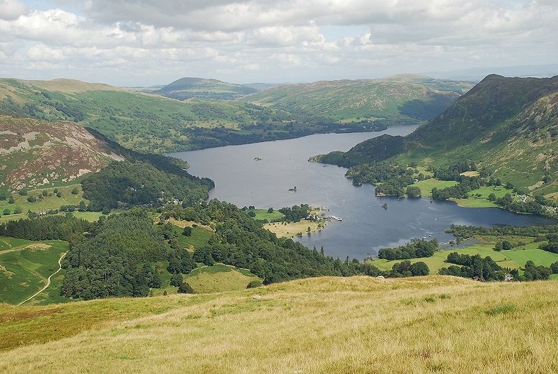
| Ullswater with Great and Little Mell Fell beyond Gowbarrow Fell |
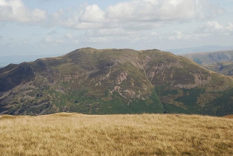 |
| Place Fell |
 |
| The twin tops of Angletarn Pikes |
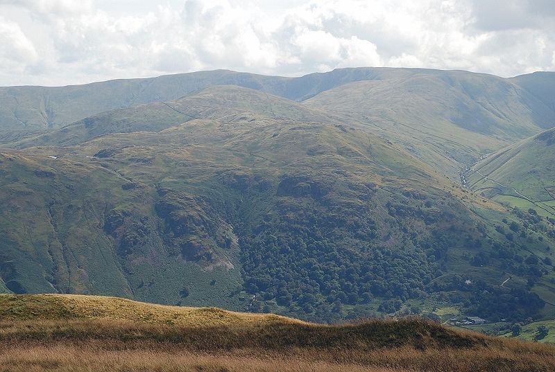 |
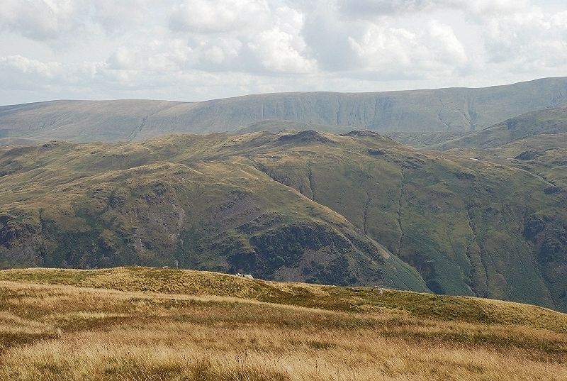
| High Raise and Rampsgill Head on the horizon |
 |
| The village of Hartsop |
 |
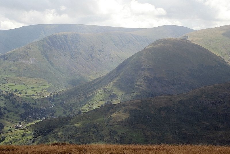
| Red Screes seen across the ridges of Hartsop-above-How and Little Hart Crag |
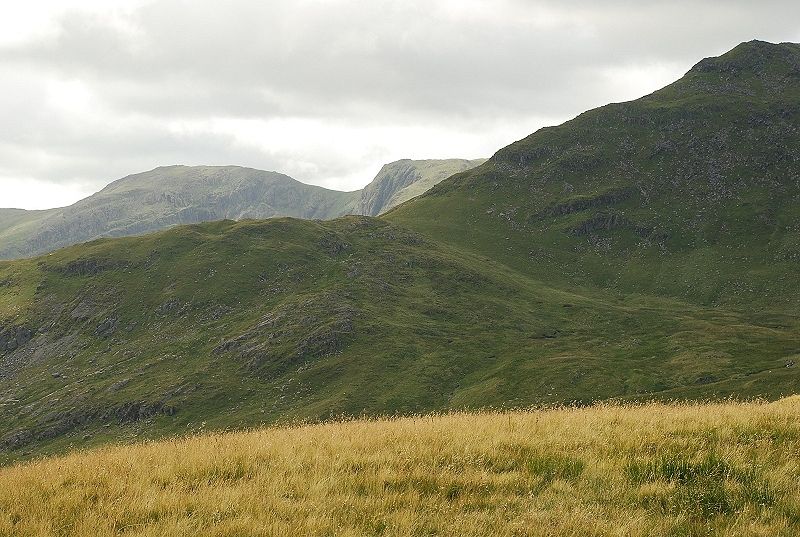 |
| Gavel Pike in the foreground across Cold Cove, Hart Crag and Scrubby Crag connected by Link Hause on the left |
|