 |
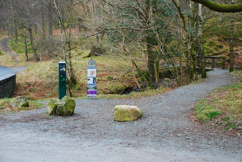
| The National Trust pay & display car park at the foot of Tom Gill is the starting point for this walk. The way ahead is by the footbridge and through the handgate beyond to follow the path up the north side of the gill |
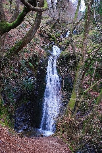 |
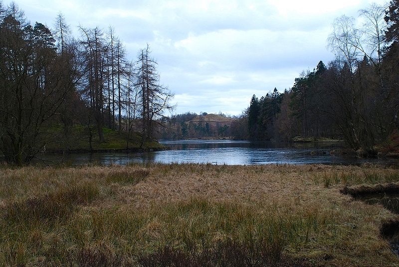
| The National Trust has improved the footpath by the gill, a sign directs visitors to a viewing point at the base of a fine series of waterfalls |
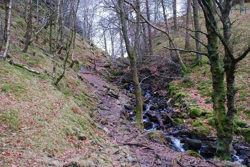 |
| Above the waterfalls, the path goes through a handgate and rises more steeply towards the top of the gill |
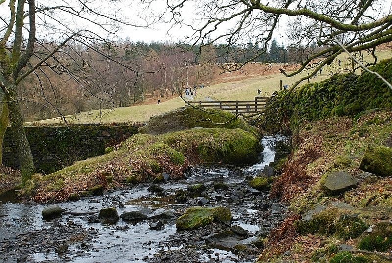 |
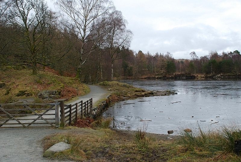
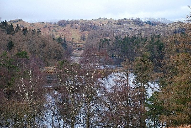
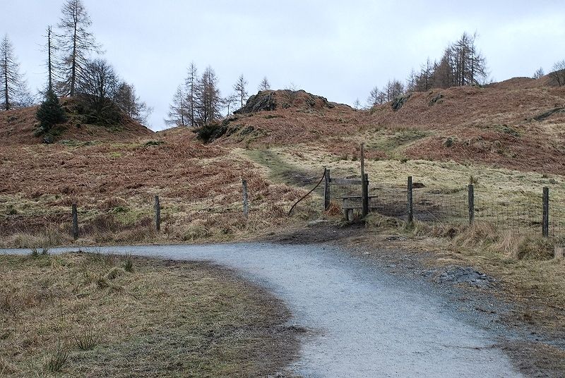
| Near the top of the gill it is better to cross to the right bank at a point where the stream becomes very shallow. This avoids the crossing of a rock slab which becomes very slippery in wet weather (today it was covered in ice!) The dam of Tarn Hows is only a short distance above the crossing, a stile gives access to the main path that circles the tarn |
 |
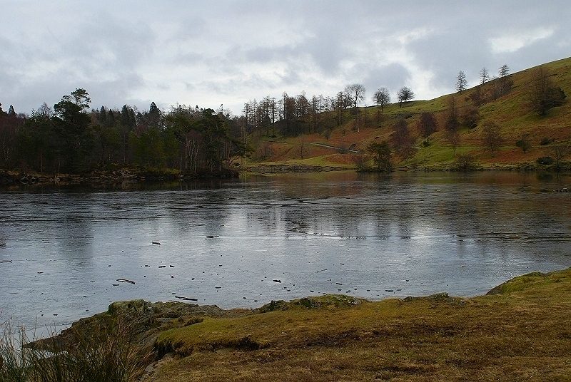
| Looking north east from the dam along the path by the frozen tarn |
 |
| The view from the same position looking east across the tarn. The path rising on the far side gives the best views over the tarn |
 |
| Black Fell from the access road to the tarn. It is curious that AW used a bit of artistic licence when he sketched the title page of the Black Fell chapter in the guide to the southern fells. If you have the guide, check it against the photo on the site's Black Fell page and spot the difference! |
 |
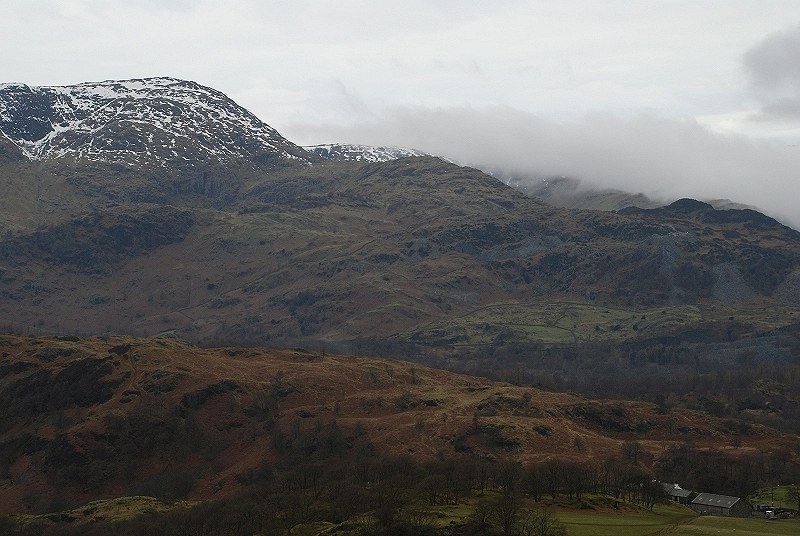
| Looking across to Wetherlam from the access road. The early morning cloudy weather was making a slow improvement |
 |
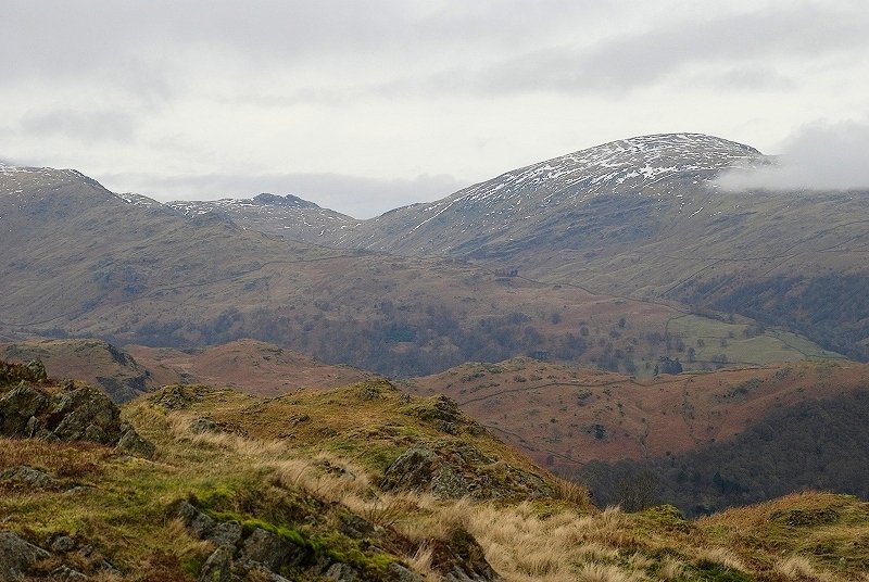
| A closer view of Black Fell from higher above the access road |
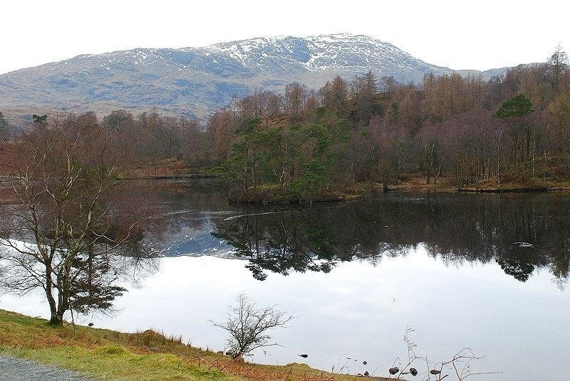 |
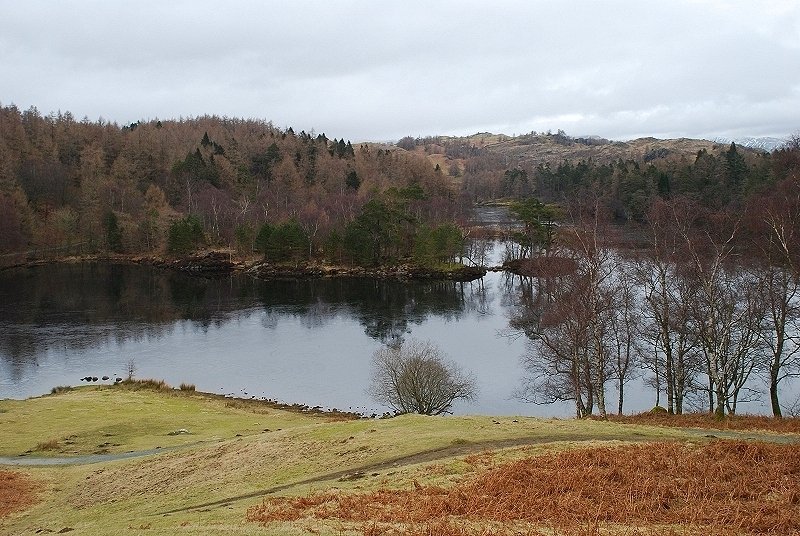
| Back on the path around the tarn and looking back to Wetherlam reflected in the water |
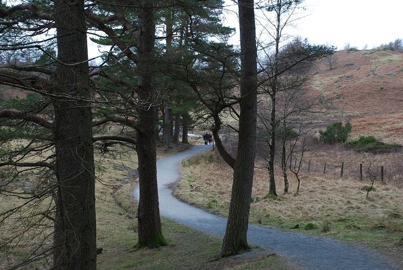 |
| The path around the tarn has been well constructed and maintained by the National Trust which makes it suitable for wheelchairs |
 |
| Rounding the head of the tarn, there is a large seat here where visitors can rest and enjoy the view before continuing their circuit |
 |
| Just beyond the seat a stile gives access to a path leading across an enclosure to join a rough lane locally known as the mountain road |
 |
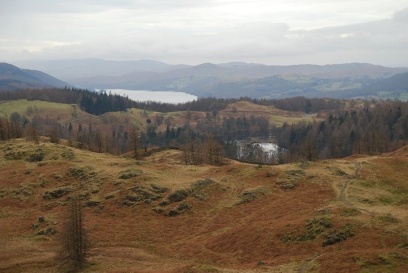
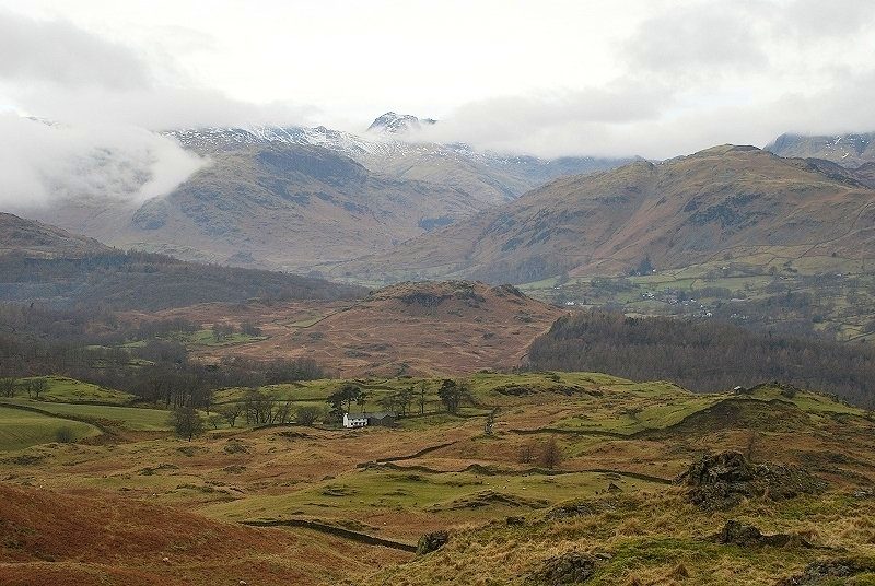
| The view back toTarn Hows from the mountain road |
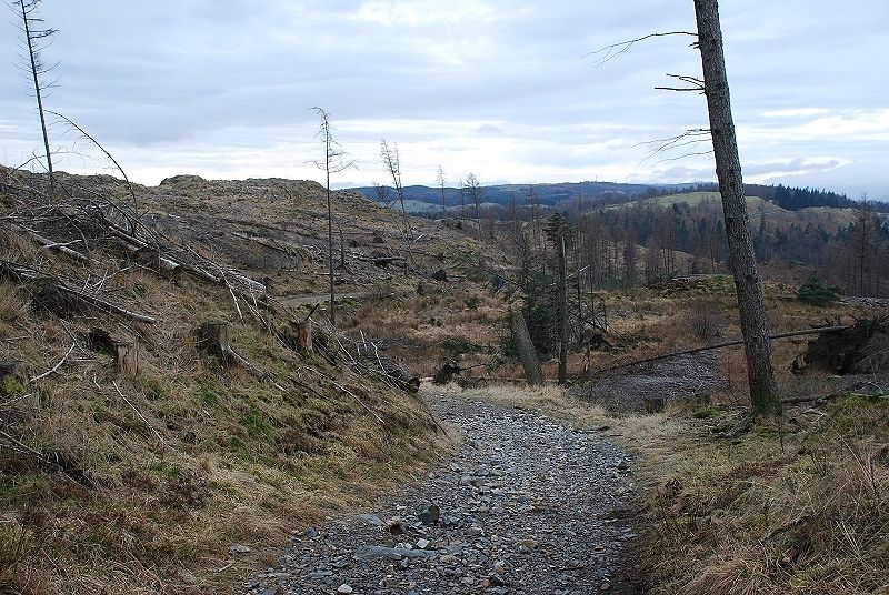 |
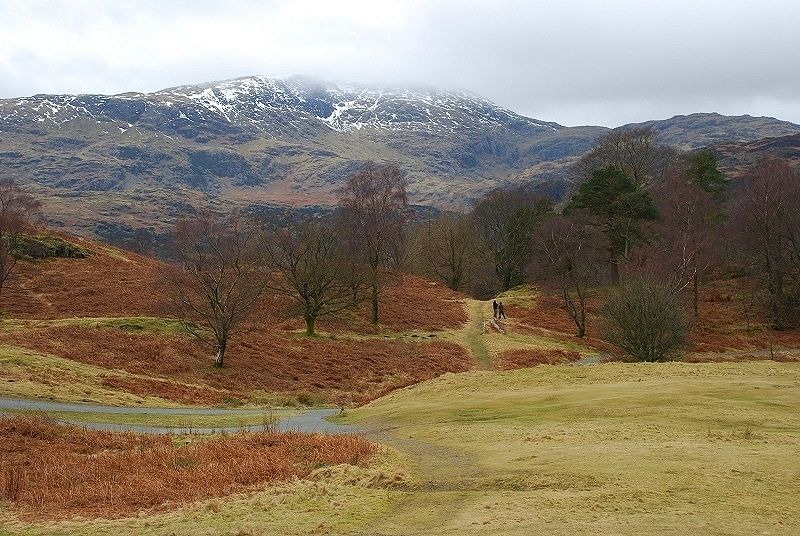
| The mountain road is followed for a few hundred yards to a gate into the Iron Keld enclosure. Almost all of the conifers in the enclosure have now been removed by the National Trust which intends to replace them with native oak and birch. It all looks a bit of a mess at the moment but at least it has opened up the view. Looking back south east from near the top of the enclosure |
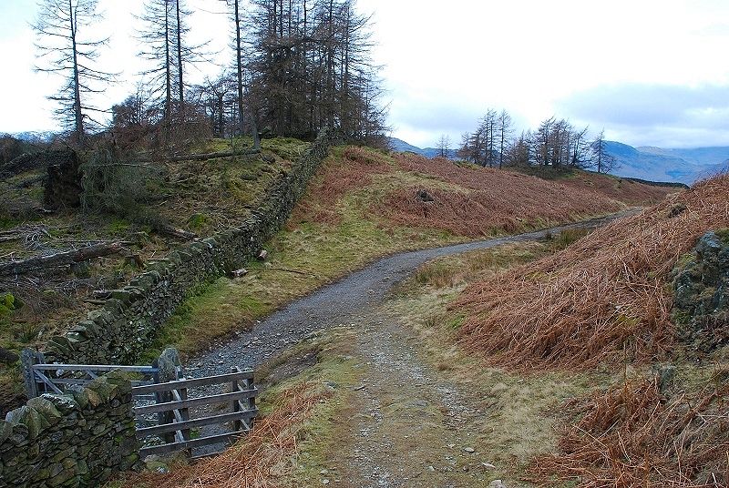 |
| Leave the former plantation via a gate onto a track that leads to Oxen Fell High Cross and turn immediately right from the gate onto this path |
 |
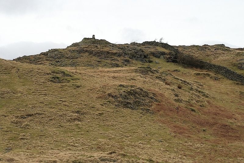
| The path rises easily to a point where the summit of Black Fell comes into view. The highest point, occupied by a trig column on the left, and the lower knoll with its fine cairn on the right |
 |
| Looking over to Pike o' Blisco as the clouds part to reveal its summit |
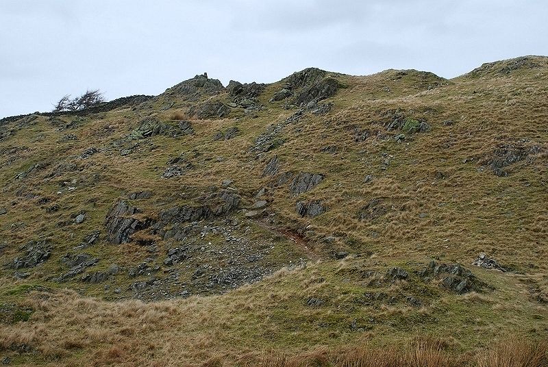 |
| The final short climb to the summit |
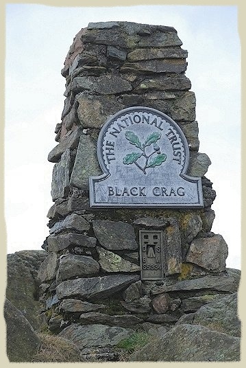 |
| Black Fell or Black Crag? Many walkers scratch their heads and consult their maps when they reach the summit to find this plaque fixed to the trig column. In his guide AW made some amusing comments on its scratched appearance. Black Crag is the name of the modest rock outcrop that marks the highest point. Various parts of the fell are named Great Cobble, Park Fell, Arnside Intake and ........ Black Fell. Whatever the name it is a very fine viewpoint |
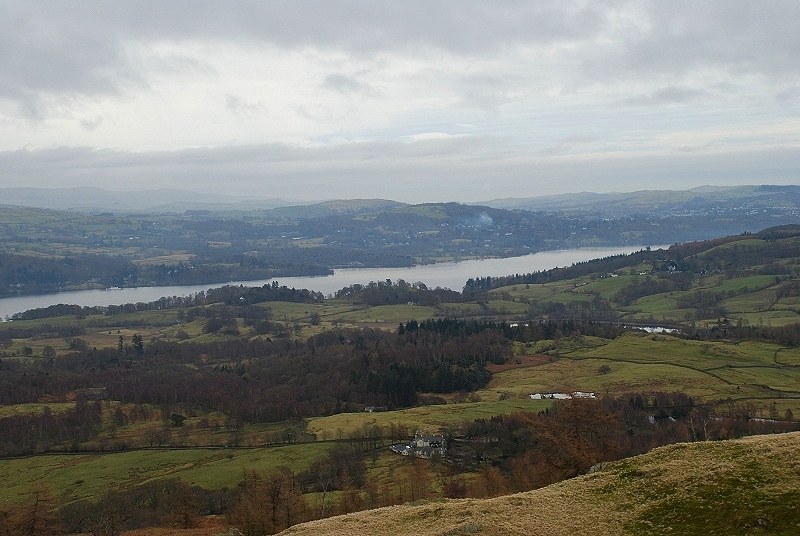 |
| Windermere from the summit |
 |
| Esthwaite Water and the village of Hawkshead |
 |
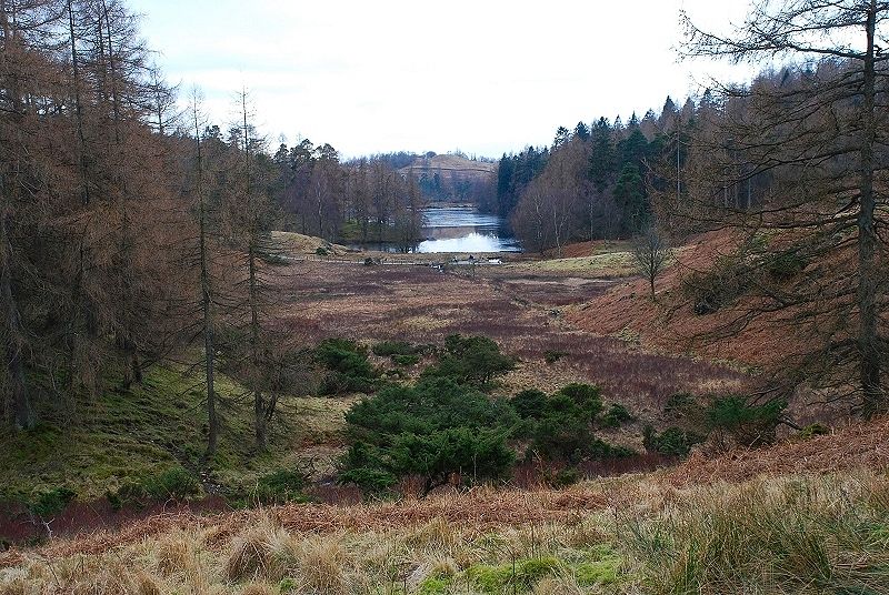
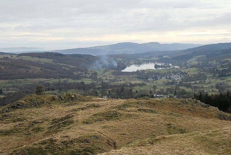
| Tarn Hows and Coniston Water |
 |
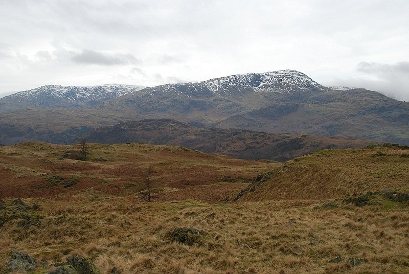
| Coniston Old Man and Brim Fell to the west |
 |
| Wetherlam |
 |
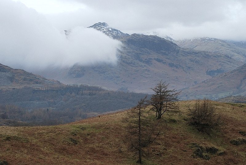
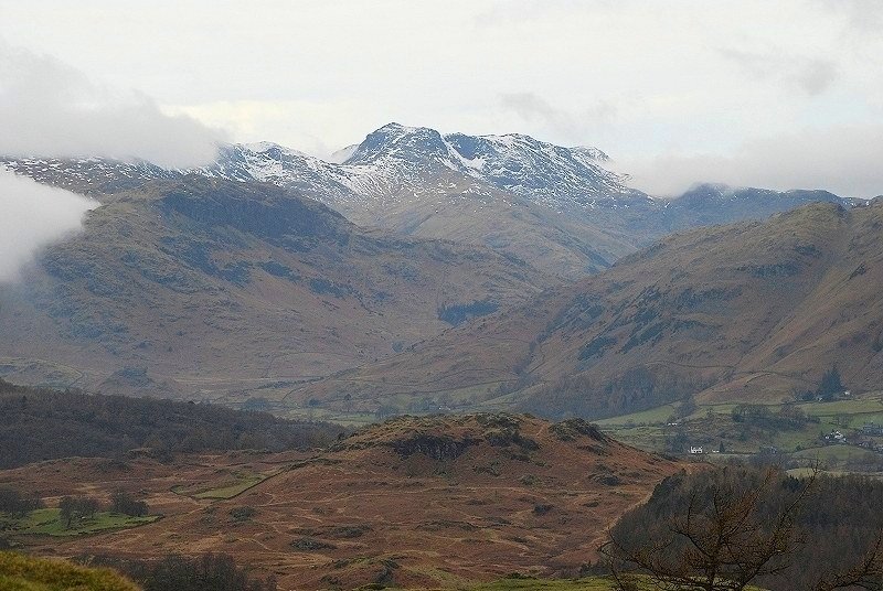
| Little Langdale with the clouds parting to reveal Bowfell, Lingmoor Fell on the right |
 |
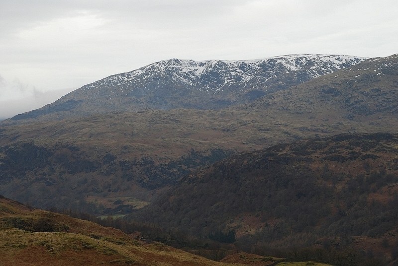
| Cloud drifts over Red Screes |
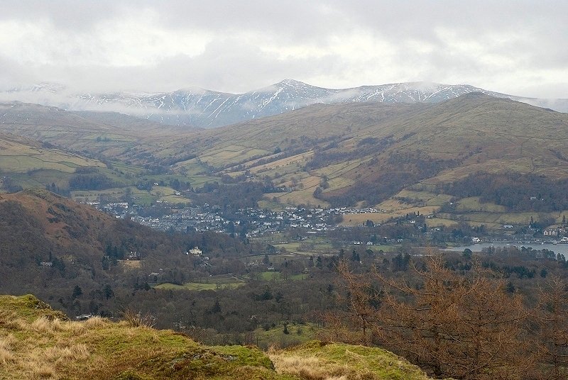 |
| Wansfell Pike above the head of Windermere with the Ill Bell ridge on the horizon |
 |
| A closer view of Bowfell, now free of cloud, before leaving the summit to visit the cairn on the southeast knoll |
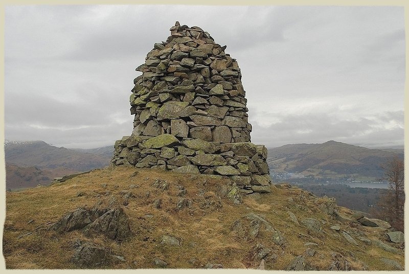 |
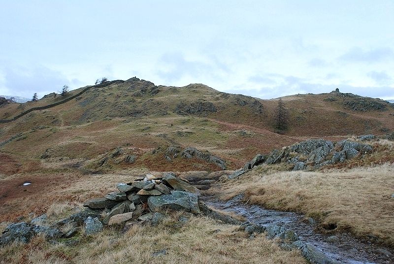
| The south east cairn also known as the Windermere cairn Black Crag - Page 3 |
 |
| The Coniston fells from the south east knoll |
 |
| And finally, a look back to the summit from the cairn on the south east knoll |
