
| Blake Fell - Route One |
| Start - Felldyke NY 084 198 | Distance - 2.8 miles | Ascent - 1,460 feet | Time - 1 hour : 45 minutes |
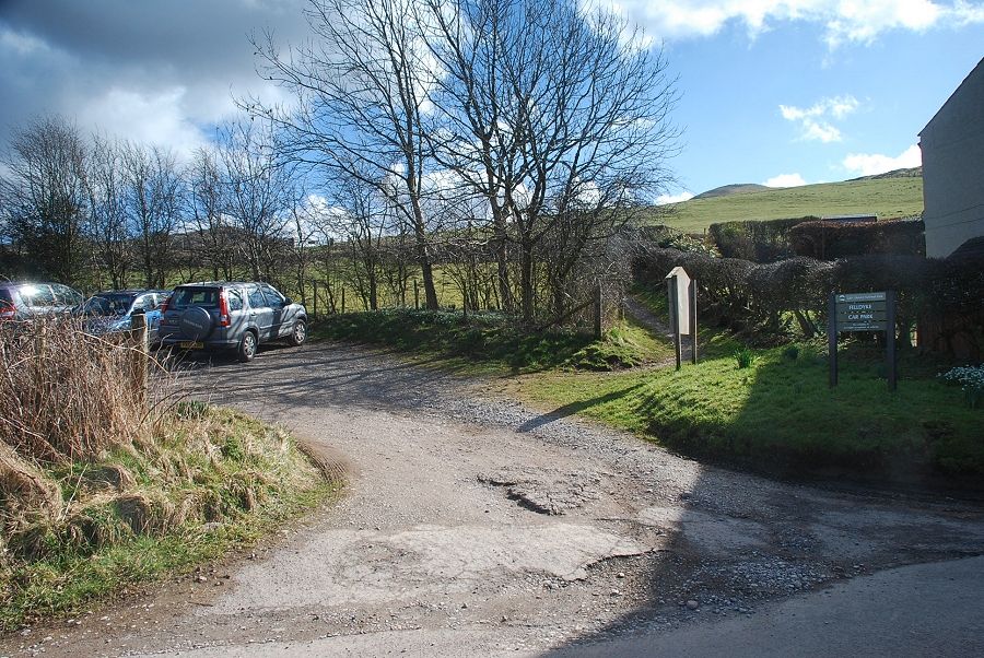 |
| The small Forestry Commission car park at Felldyke is the starting point for this walk |
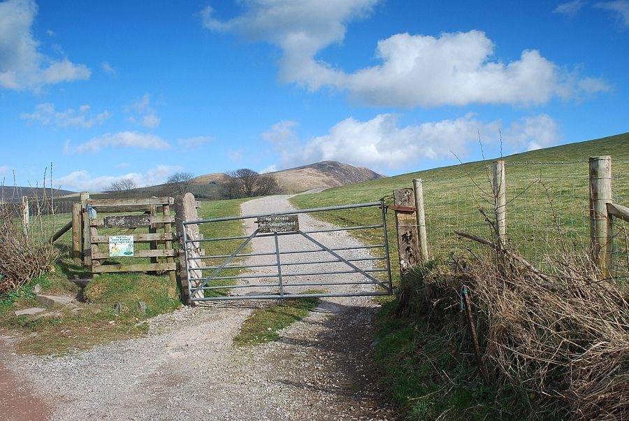 |
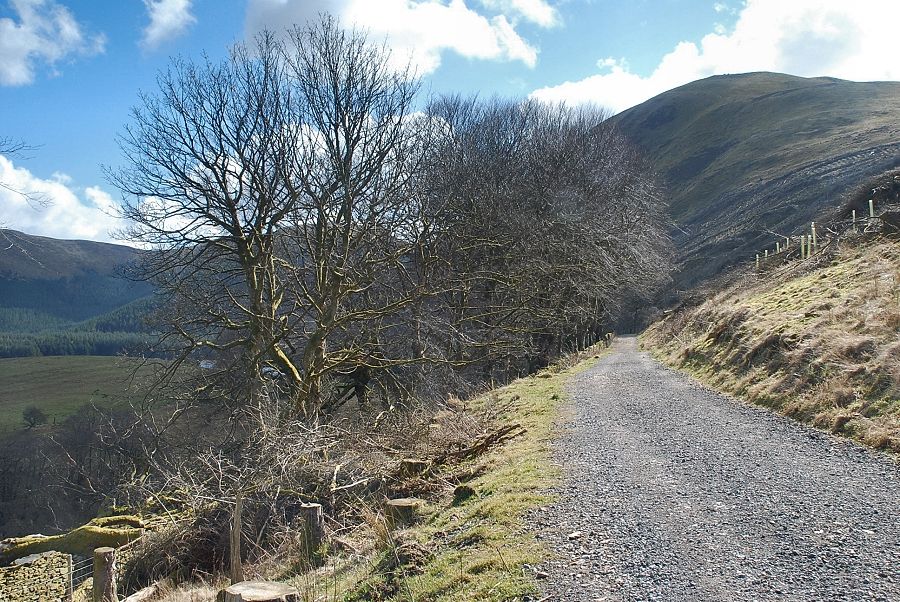
| Above the car park a handgate gives access to a forestry road which leads to Cogra Moss |
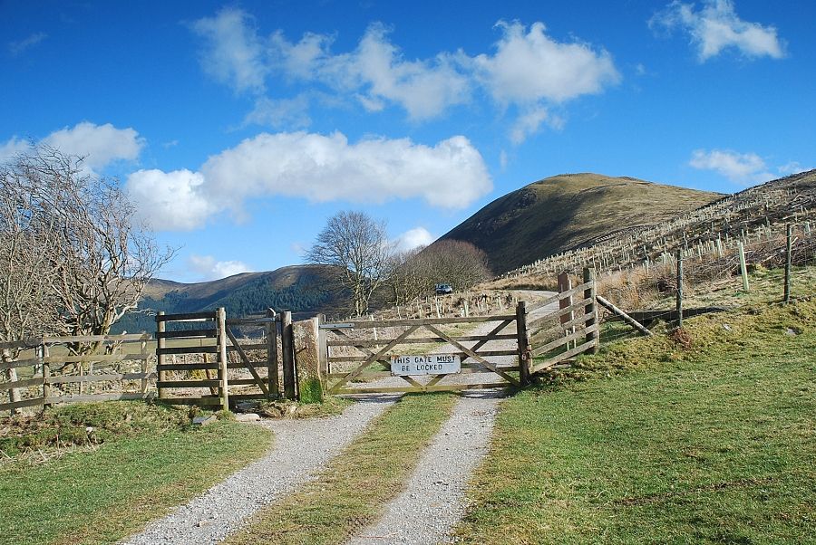 |
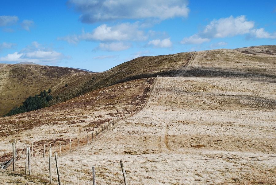
| The road rises through a field to another gate and enters the forestry enclosure |
 |
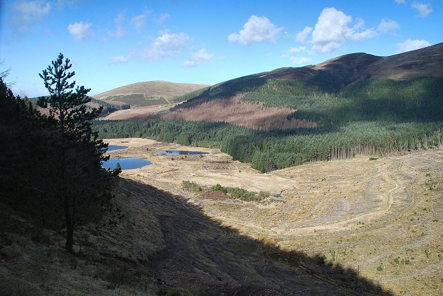
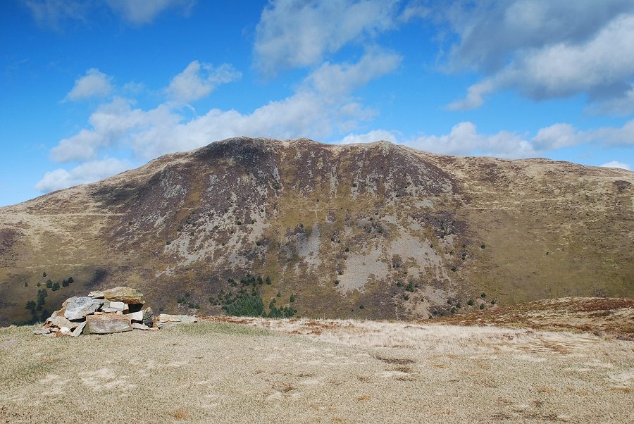
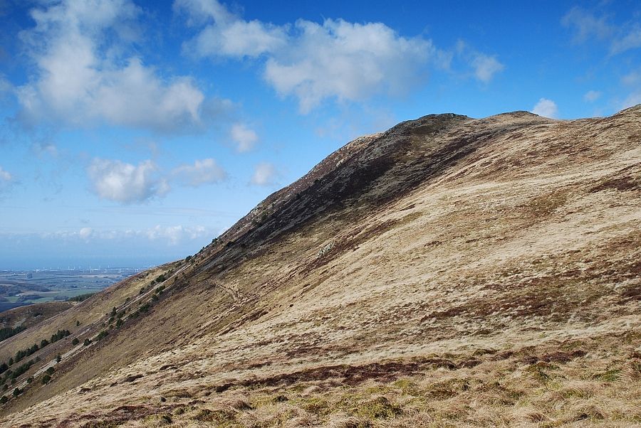
| Blake Fell from the forestry road |
 |
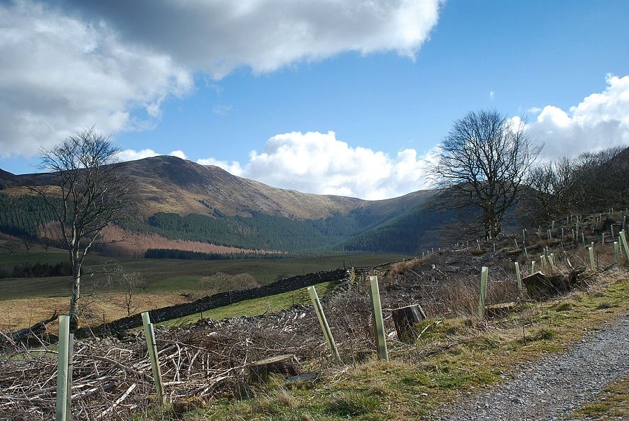
| The road passes a line of beech trees high above Rakegill Beck before descending beneath the slopes of Knock Murton to the Cogra Moss reservoir |
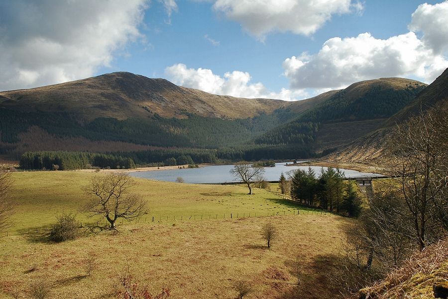 |
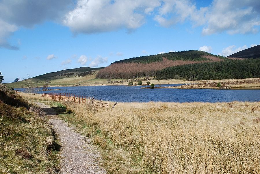
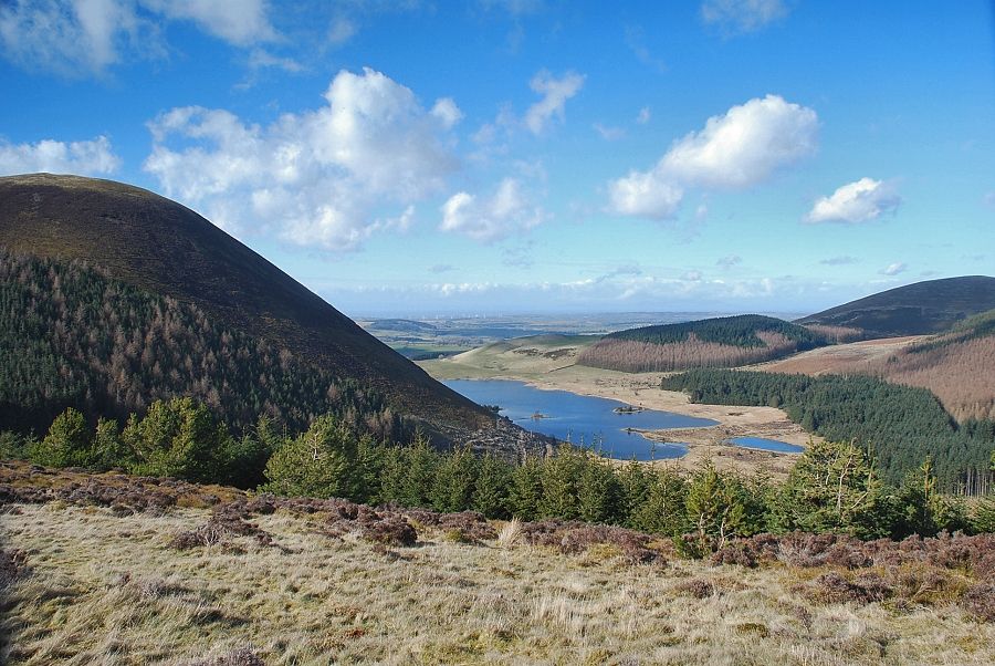
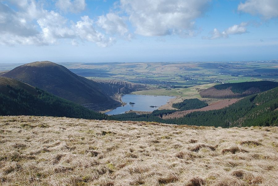
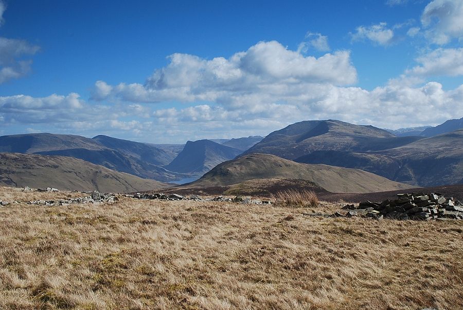
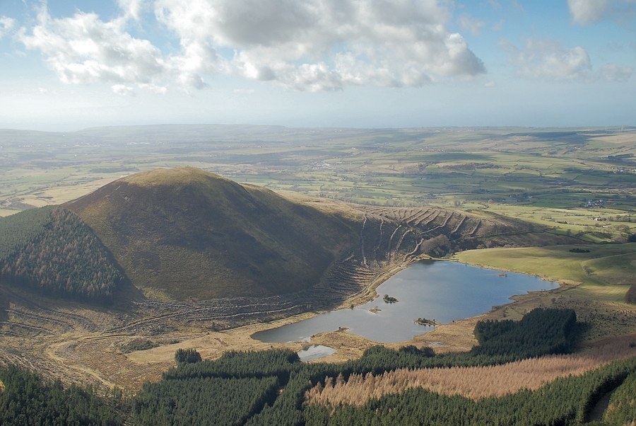
| The Cogra Moss reservoir from the forestry road with Blake Fell on the left and the summits of High Pen and Low Pen on the right. The route follows the track alongside the right bank of the reservoir before climbing to the col between Low Pen and Knock Murton |
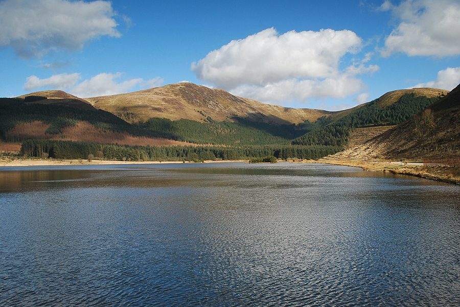 |
| Blake Fell from the Cogra Moss reservoir dam with Sharp Knott on the left and Low Pen on the right |
 |
| Blake Fell from the track alongside the reservoir |
 |
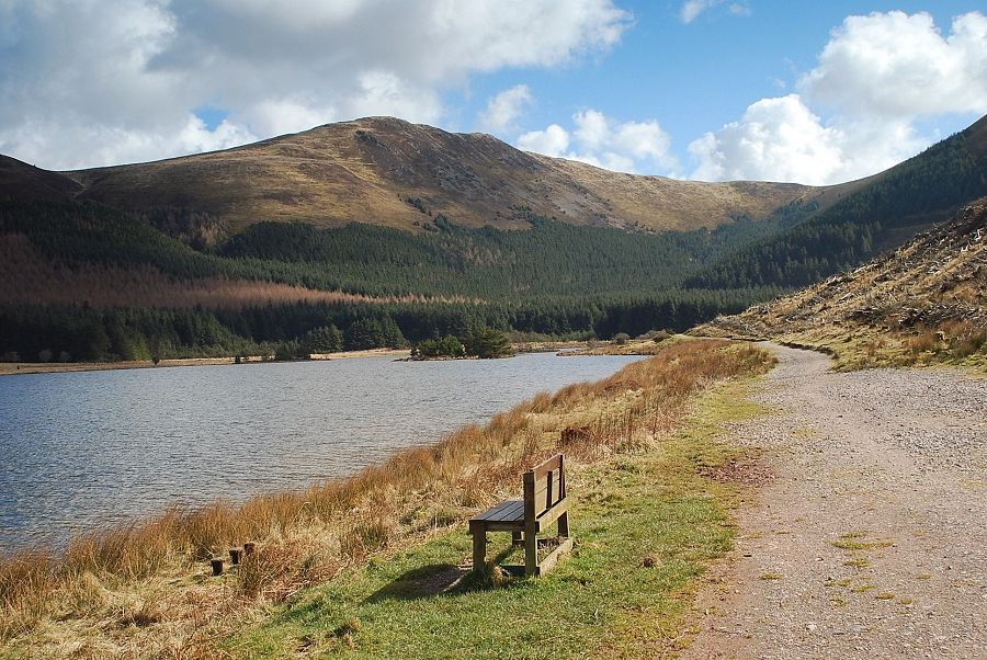
| Looking back from near the end of the reservoir |
 |
| Blake Fell from the end of the reservoir |
 |
| At the end of the reservoir leave the main track for a side path, the Donkey Trod, which climbs across the slopes of Knock Murton to a forest road |
 |
| Looking across to Sharp Knott, Blake Fell and Low Pen from the Donkey Trod |
 |
| Looking back to Cogra Moss from the Donkey Trod |
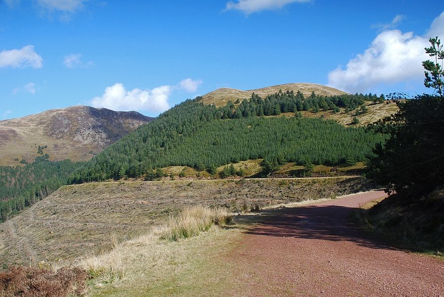 |
| The Donkey Trod reaches the col between Knock Murton and Low Pen at a major forestry road which is used as a vehicular access from Cross Rigg |
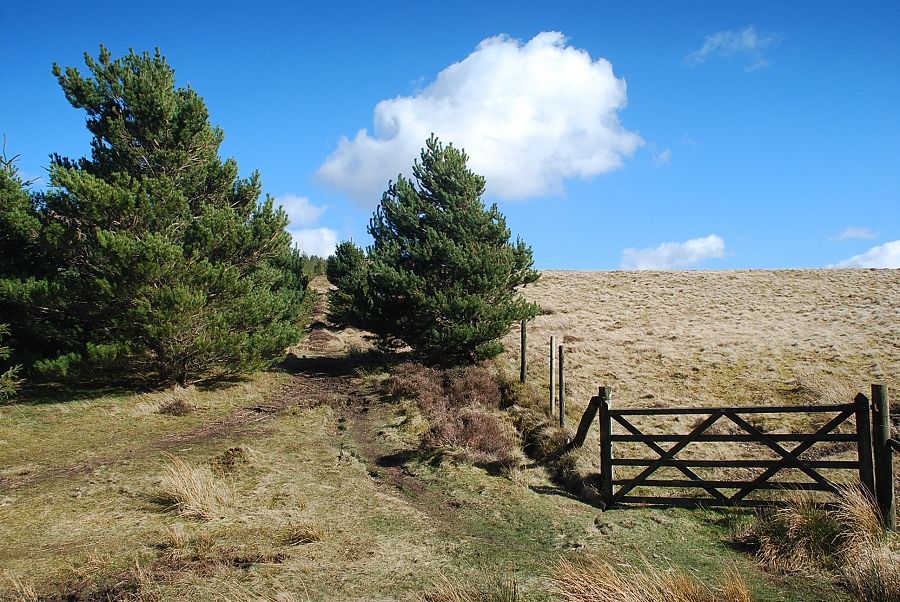 |
| From the col a path rises alongside the forest fence |
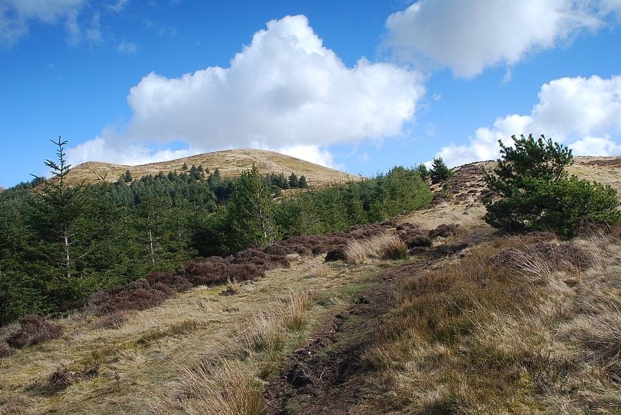 |
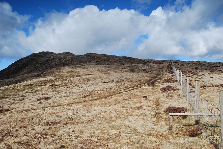
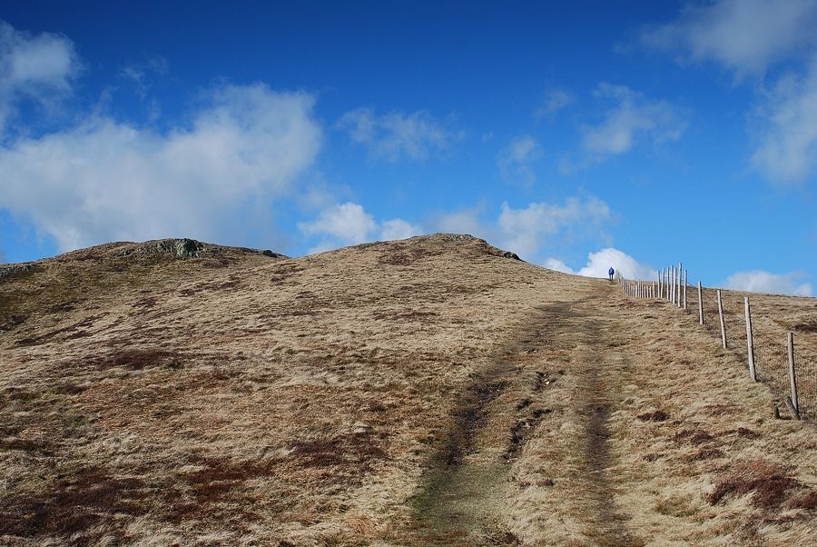
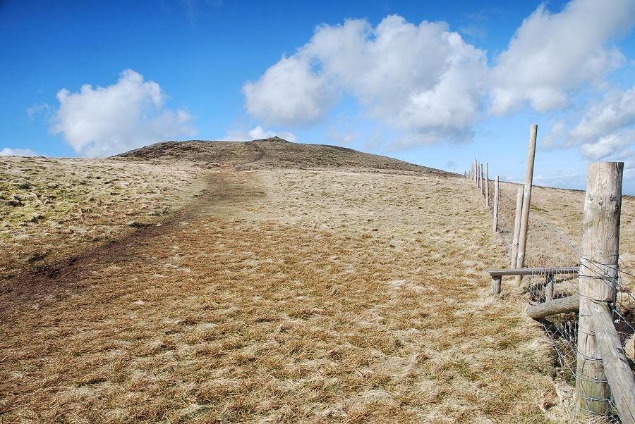
| The summit of Low Pen soon comes into view above the upper edge of the forest |
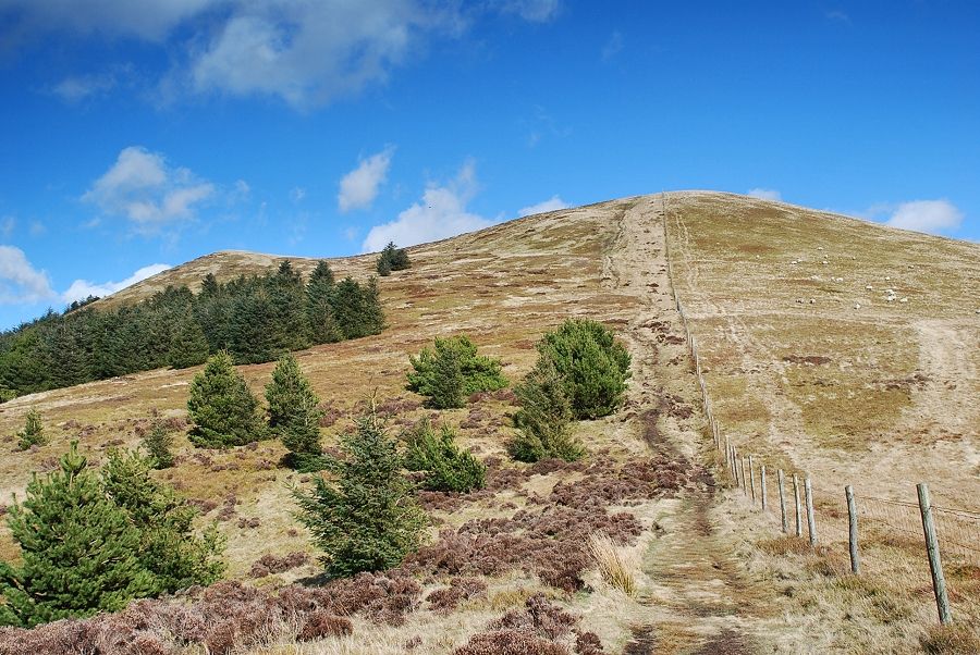 |
| Looking up to the summit of Low Pen. This section is the steepest part of the ascent, the fence leads all the way to the summit of Blake Fell |
 |
| Looking back to Knock Murton from the climb to Low Pen |
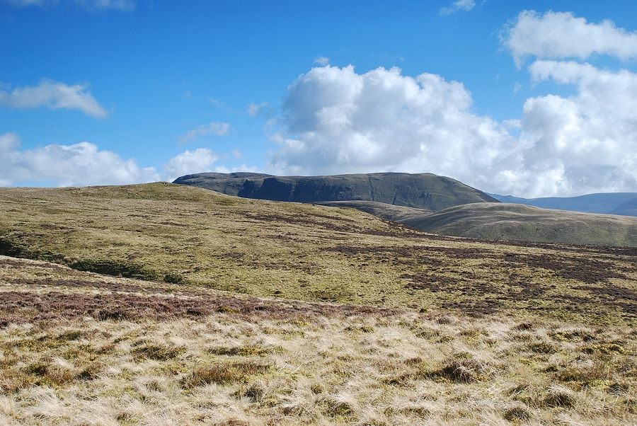 |
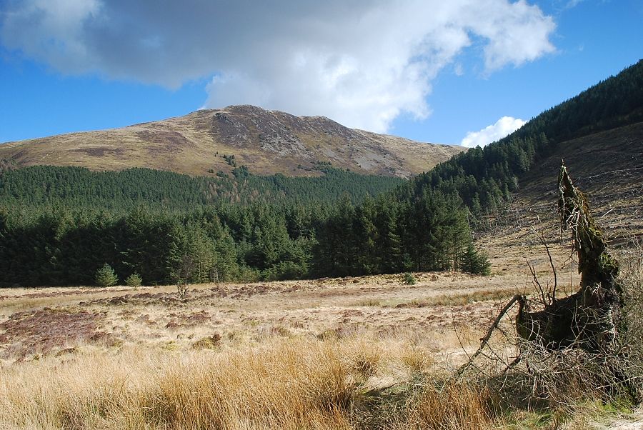
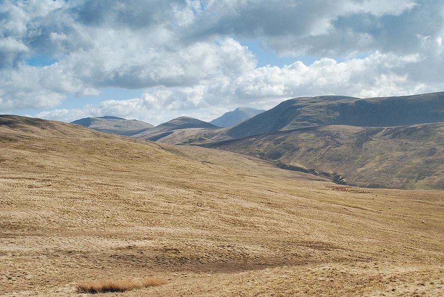
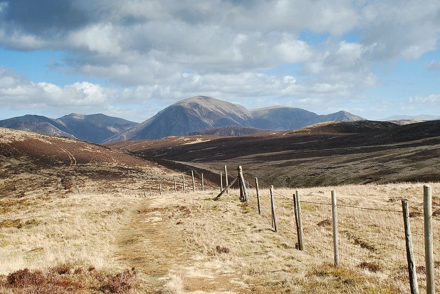
| Looking across to Great Borne |
 |
| Looking down to Cogra Moss from the slopes of Low Pen |
 |
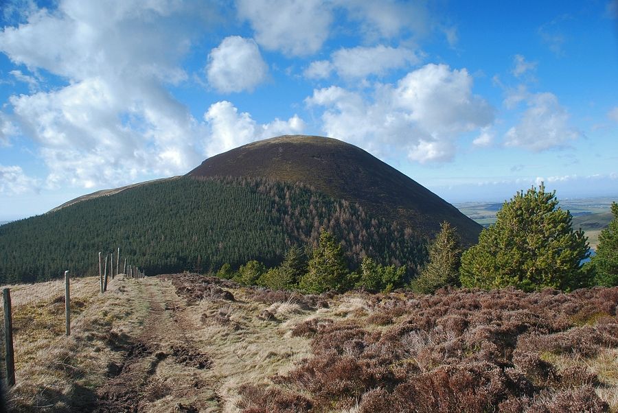
| Blake Fell from the summit of Low Pen |
 |
| Sharp Knott from the summit of Low Pen with Owsen Fell on the left |
 |
| Knock Murton and Cogra Moss from the summit of Low Pen |
 |
| Looking south-east from the summit of Low Pen to Pillar framed between Starling Dodd and Great Borne |
 |
| The way ahead from Low Pen, still following the fence as it rises towards the summit of High Pen |
 |
| A glimpse of Ennerdale Water from the climb to High Pen |
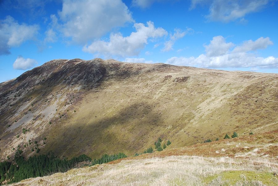 |
| Blake Fell from the summit of High Pen |
 |
| Great Borne from the summit of High Pen with Pillar and Black Crag on the left |
 |
| Cogra Moss from the summit of High Pen with Knock Murton on the left over summit of Low Pen |
 |
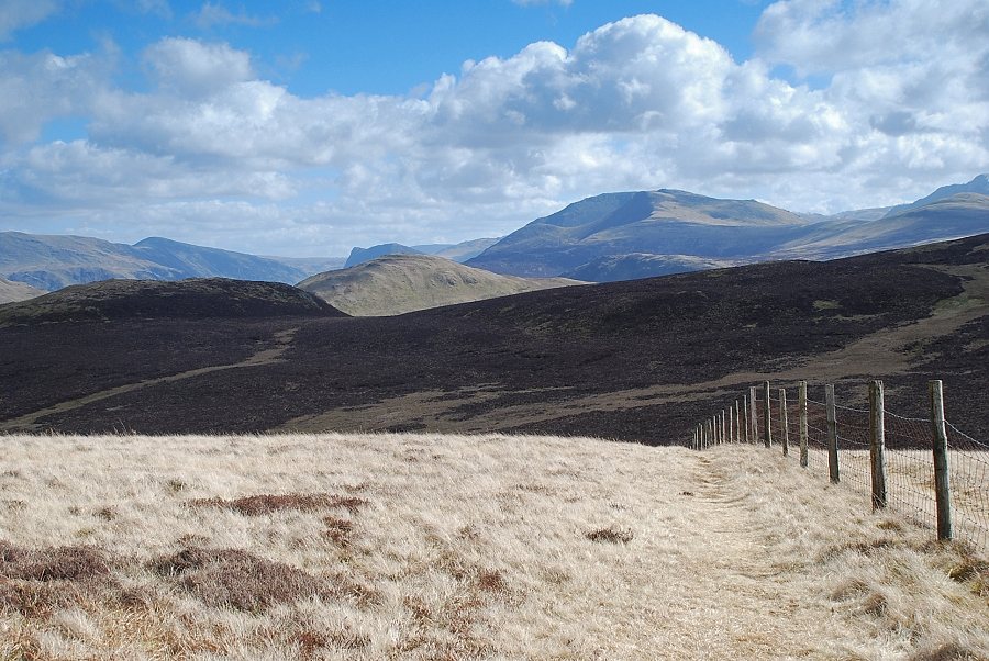
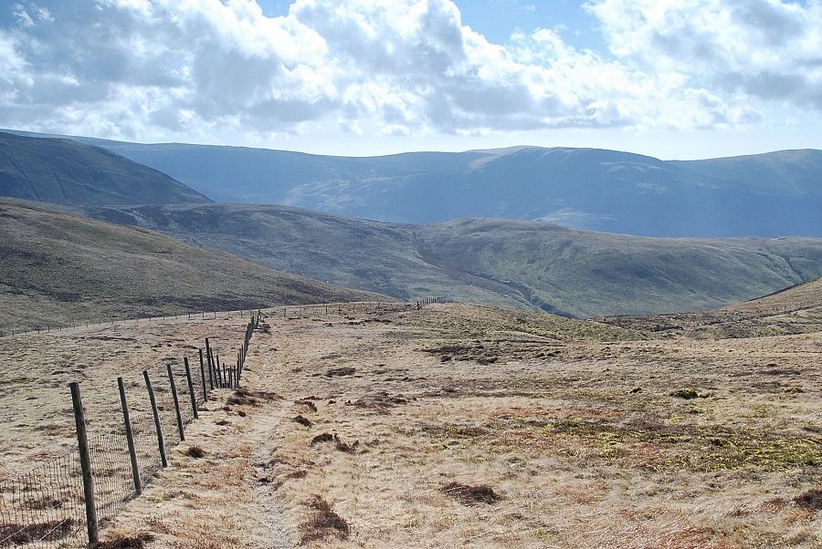
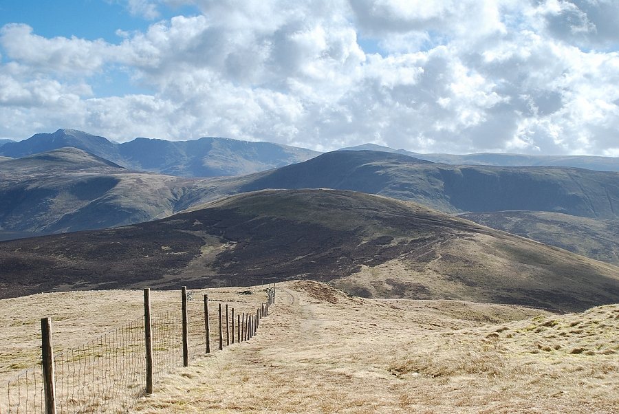
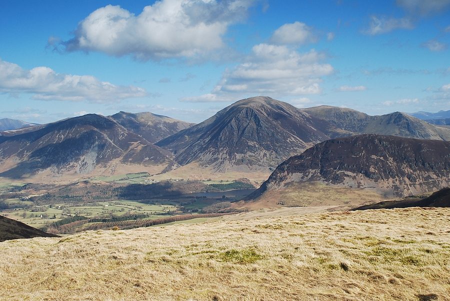
| Continuing on from High Pen, still following the fence, with views ahead to the north western fells of Whiteside, Hopegill Head, Grasmoor, Wandope and Whiteless Pike. The fence falls to a depression above Fothergill Head before rising onto the slopes of Blake Fell's south east ridge |
 |
| Looking up to south east ridge of Blake Fell from the stile that gives access to a path to Gavel Fell |
 |
| Looking to the High Stile ridge, centre right, from the stile |
 |
| Looking across the western face of Blake Fell from the start of the climb to the ridge |
 |
| Cogra Moss from the climb to the south-east ridge |
 |
| Looking up the lower part of the south-east ridge |
 |
| Looking down the lower part of the south-east ridge |
 |
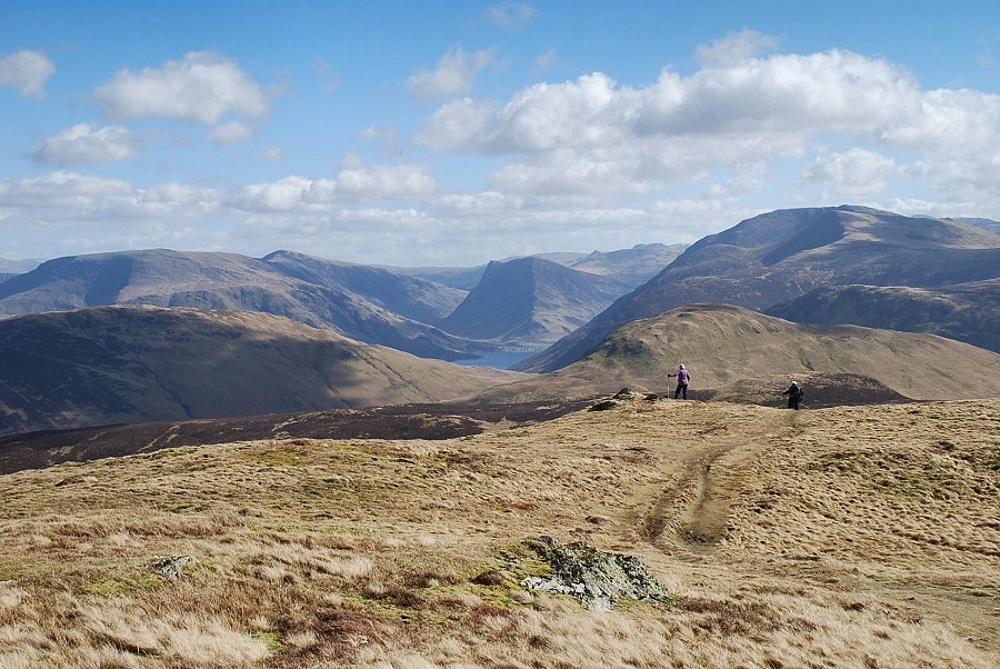
| A small section of Buttermere comes into view as height is gained |
 |
| Higher on the ridge another stile is passed, this one gives access to contouring path leading to the subsidiary top of Carling Knott. The summit of Blake Fell lies a short distance beyond the cairn on the skyline |
 |
| Looking down the south-east ridge from the "Carling Knott" stile |
 |
| A small section of Crummock Water is visible below Grasmoor from the stile |
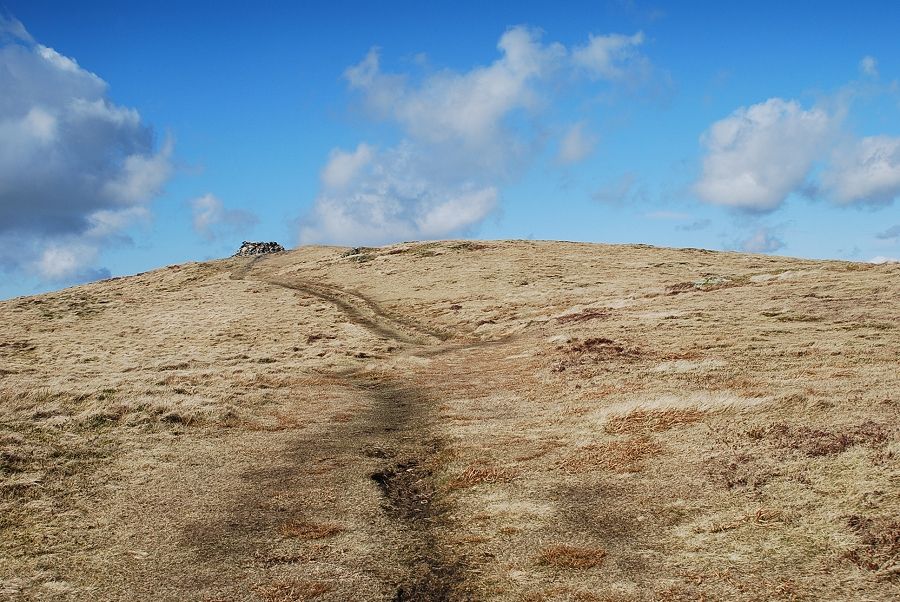 |
| The summit of Blake Fell comes into view |
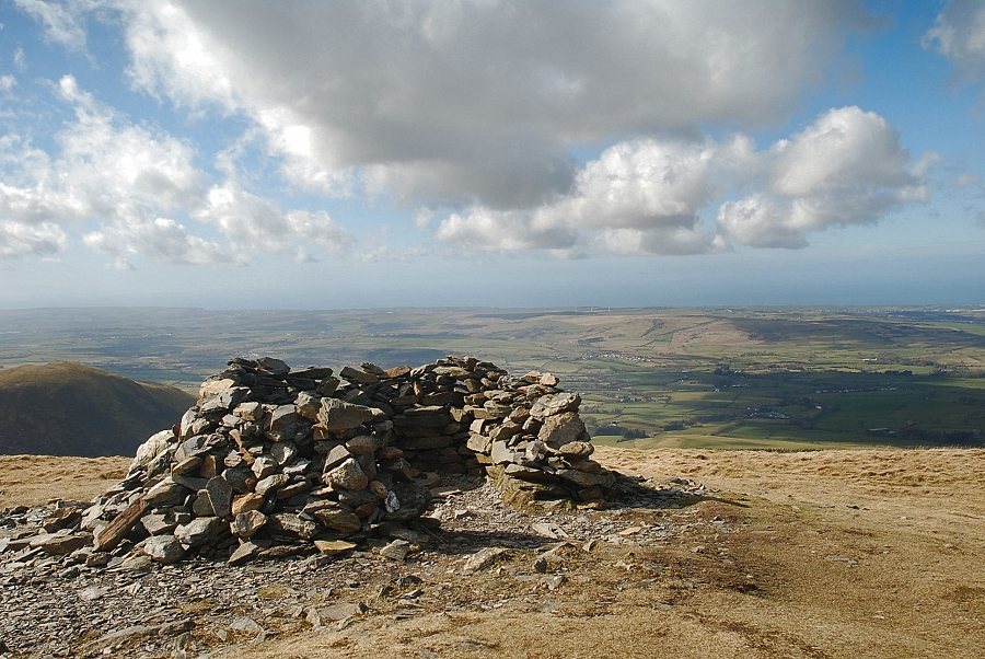 |
| The summit shelter on Blake Fell |
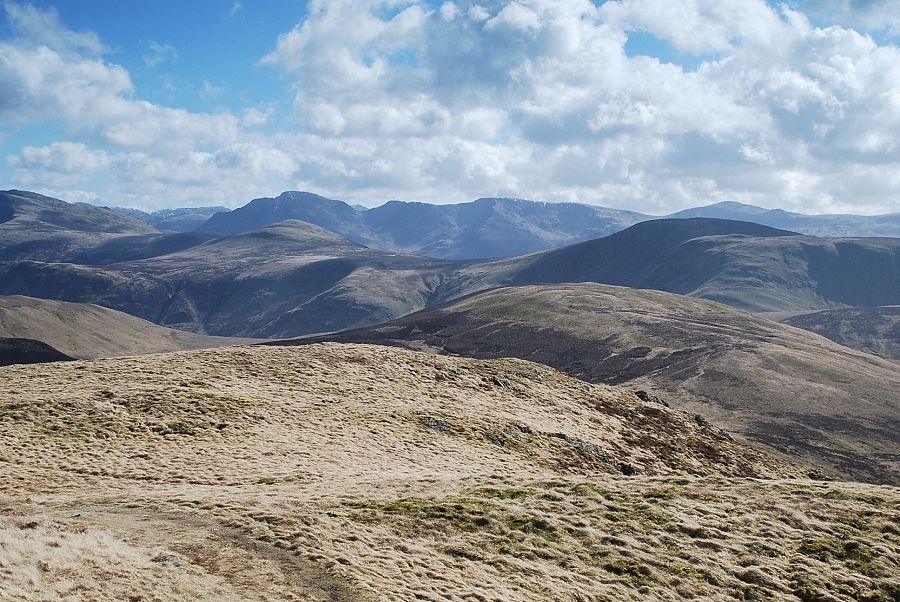 |
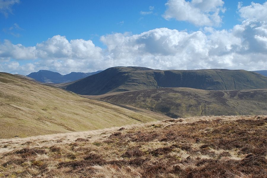
| Looking south-east from the summit of Blake Fell. Starling Dodd and Great Borne are the fells in the middle distance over the summit of Gavel Fell. High Stile, Pillar, Scoat Fell and Haycock are on the skyline |
 |
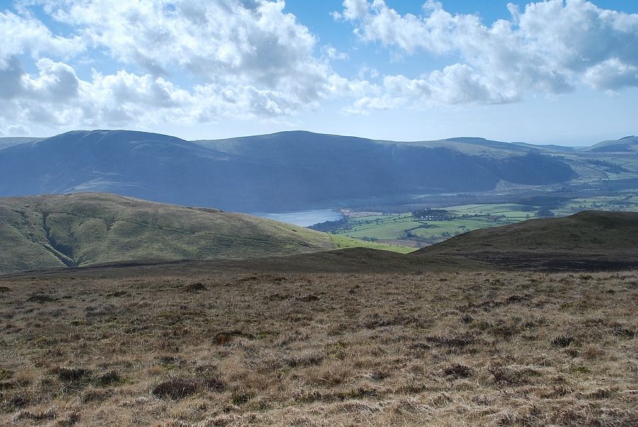
| To the south, part of Ennerdale Water is visible beneath Crag Fell and Grike |
 |
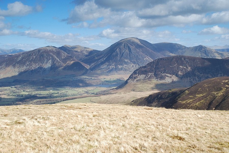
| Knock Murton and Cogra Moss from the summit of Blake Fell |
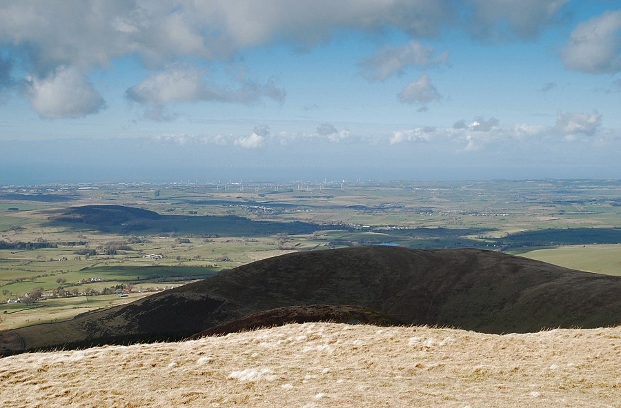 |
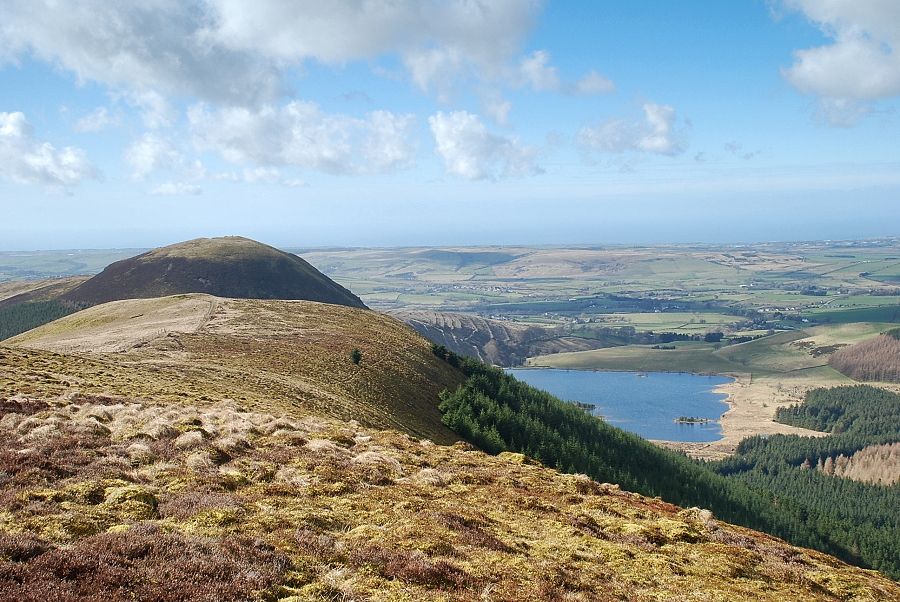
| Looking north-west over the summit of Owsen Fell to the West Cumbrian coast |
 |
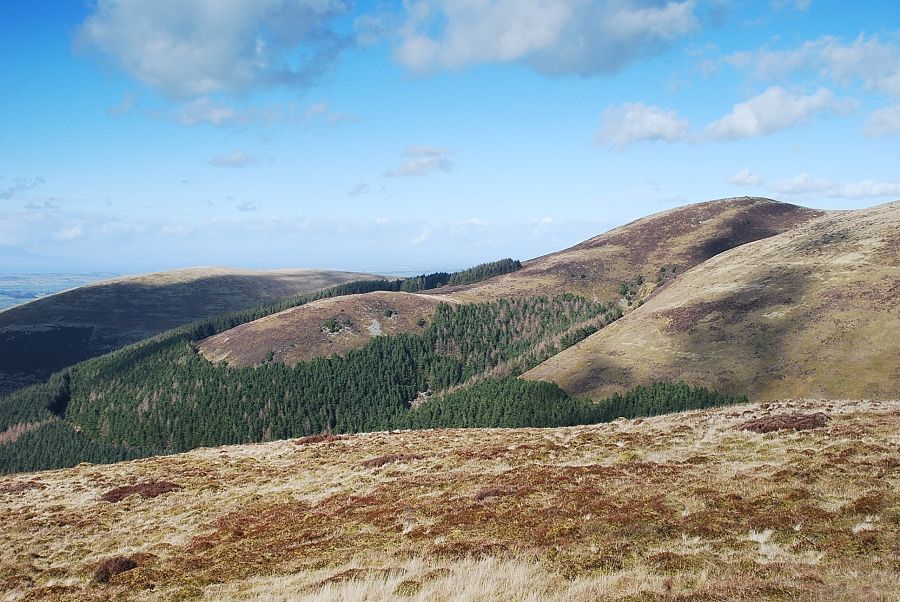
| The connecting ridge to Burnbank Fell |
 |
| Looking north-east to Skiddaw on the horizon |
 |
| Whiteside, Hopegill Head, Grasmoor, Wandope and Whiteless Pike with the north top of Mellbreak in the middle distance |
 |
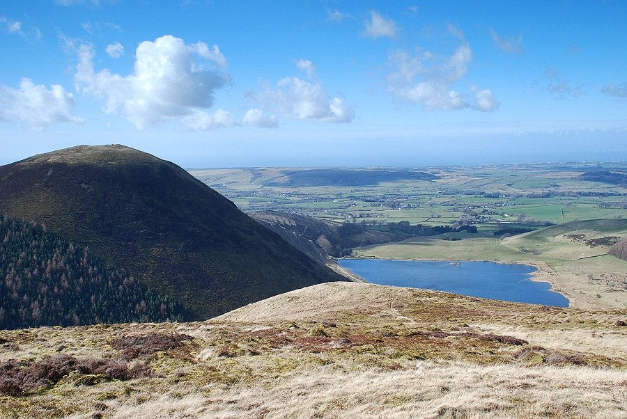
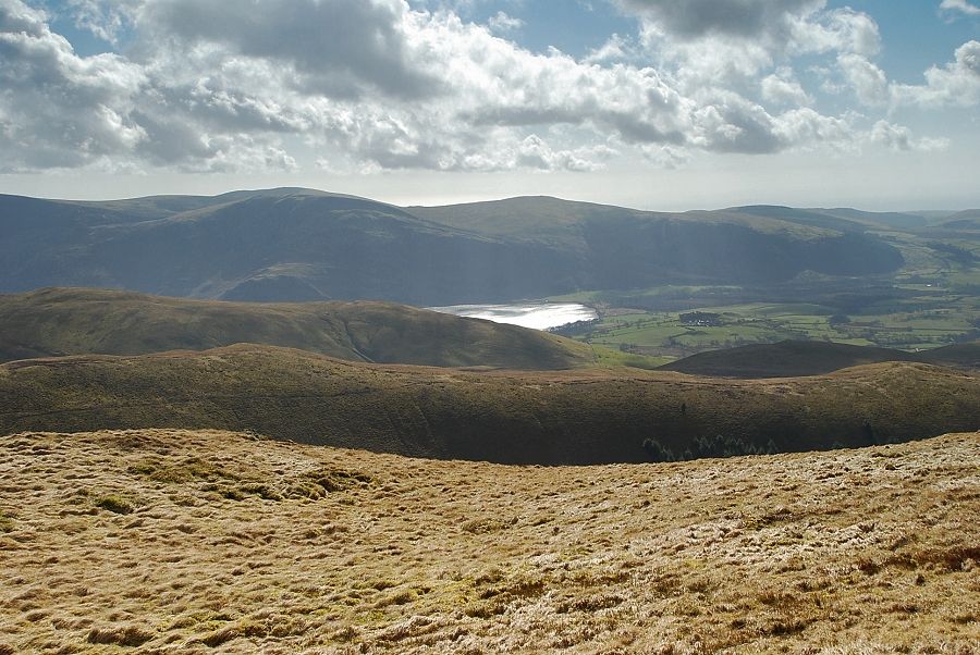
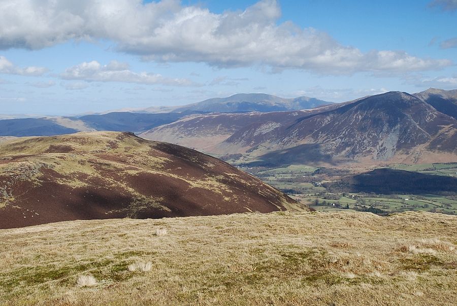
| Buttermere from the summit of Blake Fell |
|