 |
| Blawith Knott from the Woodland Fell Road |
 |
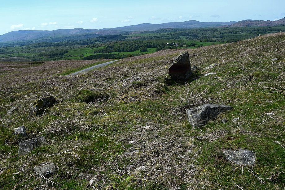
| There is room to park a couple of cars near Giant's Grave at the start of the path to the summit of Blawith Knott. There are a few more spaces available beside the road 250 yards to the south |
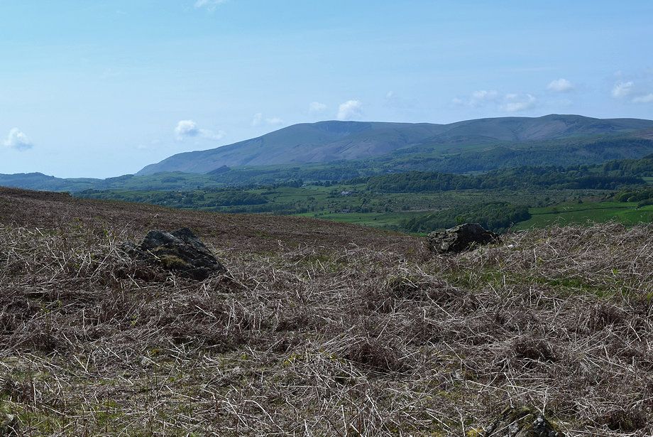 |
| Black Combe from the parking space |
 |
| Giant's Grave, the remnants of an ancient ring cairn |
 |
| The start of the ascent path from Giant's Grave |
 |
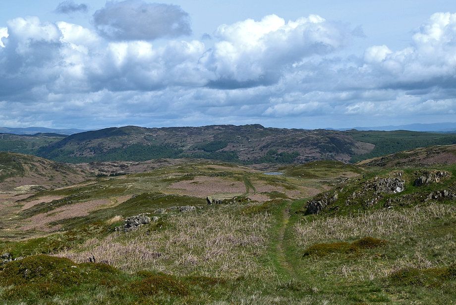
| Looking over towards Tottlebank Height |
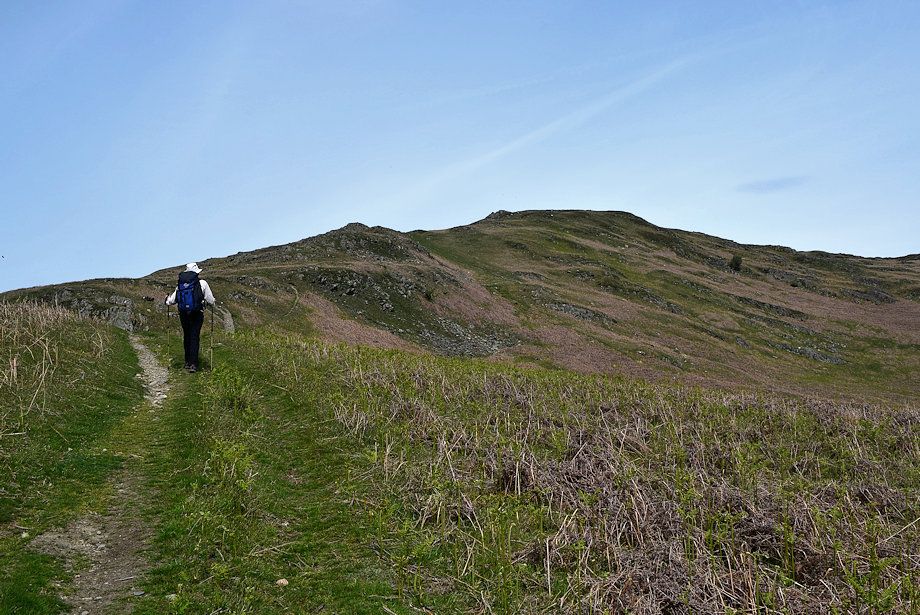 |
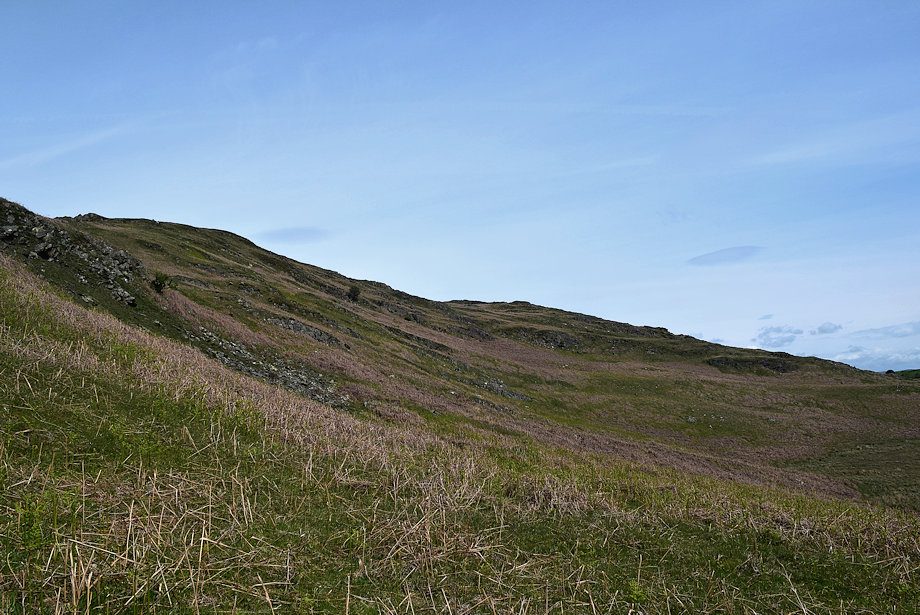
| Blawith Knott's south west ridge |
 |
| The path threads its way around the many rocky outcrops on the south west ridge |
 |
| Looking over towards Buck Barrow, Whitfell, Yoadcastle, Hesk Fell and Stickle Pike on the horizon |
 |
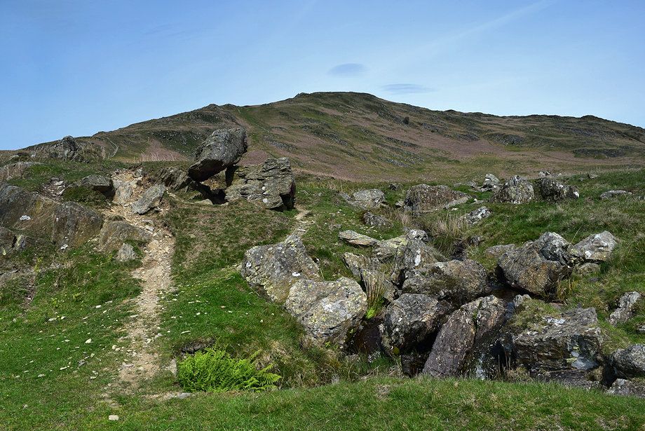
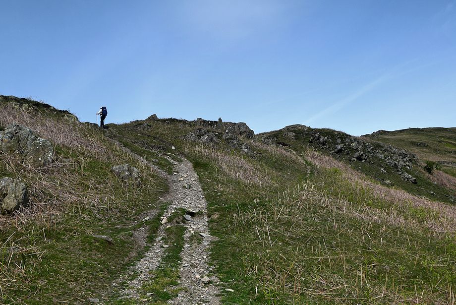
| Approaching the largest outcrops on the ridge |
 |
| The path descends to avoid them on the right and climbs back up the spine of the ridge |
 |
| Black Combe across the main outcrop |
 |
| Looking back on Subberthwaite Common, the car parking areas can be seen on the left |
 |
| The upper part of the south west ridge |
 |
| Looking over towards Dow Crag and Coniston Old Man |
 |
| Looking back along the lower part of the south west ridge |
 |
| Caw and the Scafell group of fells |
 |
| Burney and Kirkby Moor to the south |
 |
| The Duddon Estuary |
 |
| Approaching the summit of Blawith Knott |
 |
| Looking back from just below the summit |
 |
| The Scafells and Dow Crag from just below the summit |
 |
| Approaching the western cairn on the summit |
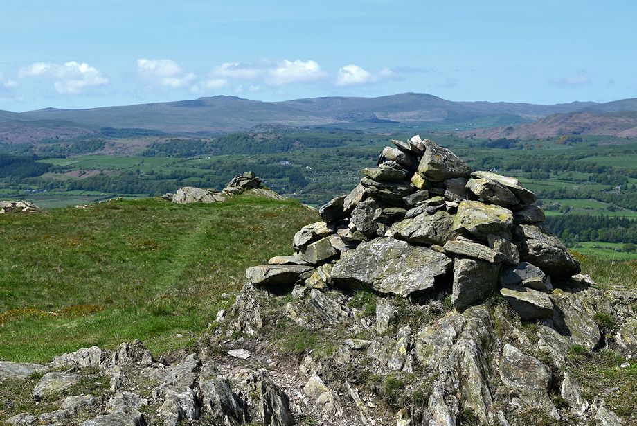 |
| The main cairn on the summit of Blawith Knott |
 |
| Top o' Selside and Arnsbarrow Hill from the summit of Blawith Knott |
 |
| The Crake Valley from the summit of Blawith Knott |
 |
| Burney and Kirkby Moor from the summit of Blawith Knott |
 |
| The Duddon Estuary from the summit of Blawith Knott |
 |
| Black Combe from the summit of Blawith Knott |
 |
| Kinmont Buck Barrow, Buck Barrow, Burnmoor, Whitfell, Stainton Pike, Yoadcastle, Woodend Height and Stickle Pike on the horizon from the summit of Blawith Knott |
 |
| Caw and the Scafells from the summit of Blawith Knott |
 |
| The Coniston Fells from the summit of Blawith Knott |
 |
| Hevellyn, Dollywaggon Pike, Fairfield, Hart Crag, Dove Crag, Red Screes, Caudale Moor, Thornthwaite Crag, Ill Bell, Harter Fell, Kentmere Pike, and Tarn Crag on the horizon from the summit of Blawith Knott |
