 |
| The walk starts from a small parking area on the minor road 160 yards west of Water Yeat |
 |
| The minor road leads to Greenholme Farm which is about a third of a mile from Water Yeat |
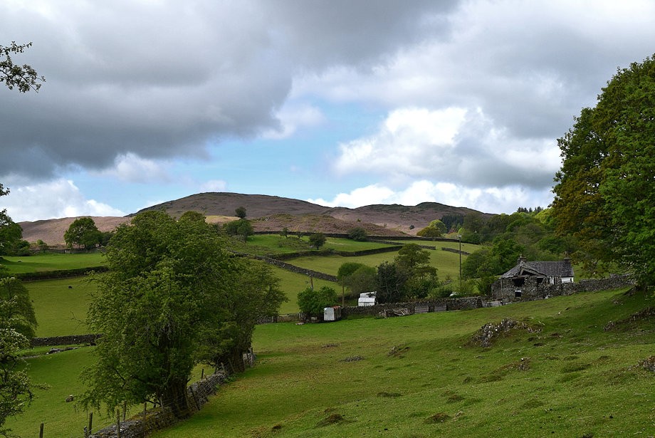 |
| Tottlebank Height and Blawith Knott from the road to Greenholme Farm |
 |
| Approaching Greenholme Farm |
 |
| The metalled road ends at Greenholme Farm |
 |
| The footpath to Beacon Tarn continues on beyond the farm |
 |
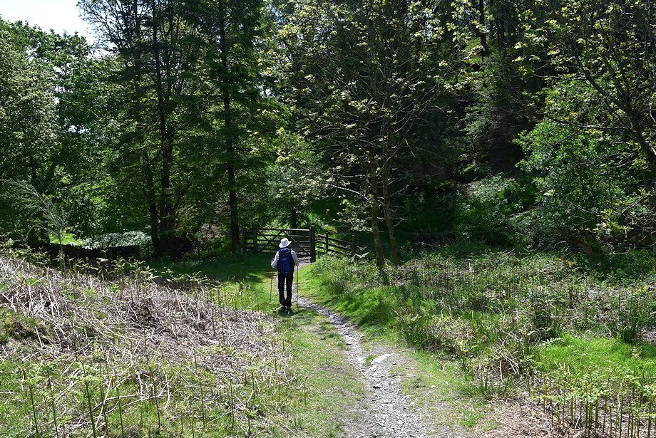
| The footpath leads onto a walled lane alongside Yew Barrow Wood |
 |
| The walled lane beside Yew Barrow Wood |
 |
| The lane is quite short and leads to the shallow valley of Tarn Beck |
 |
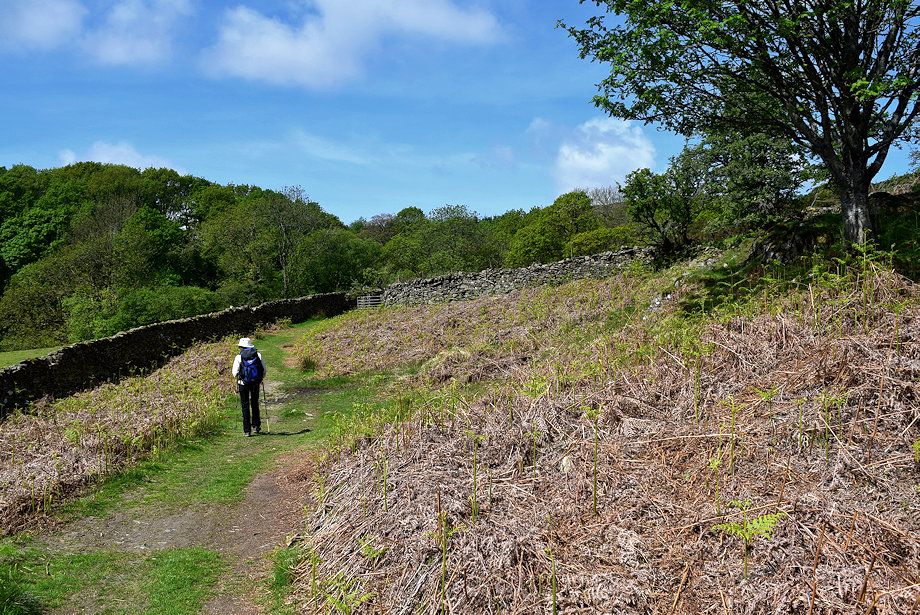
| The path to Beacon Tarn above Yew Barrow Wood |
 |
| Looking back to Yew Barrow Wood from the Beacon Tarn path |
 |
| We only follow the Beacon Tarn path for 50 yards or so before turning off it onto an indistinct path which crosses Tarn Beck and passes through a small grove of willow trees |
 |
| The path then rises gently alongside a conifer plantation before descending a more open slope towards Greenholme Beck |
 |
| Looking back to Slatestone Fell above the willow grove from the edge of the conifer plantation |
 |
| Tottlebank Height and Blawith Knott from the descent to Greenholme Beck where the path will join the Cumbria Way |
 |
| Looking over to the south ridge of Wool Knott |
 |
| Looking back to the conifer plantation |
 |
| We join the Cumbria Way just above the point where it crosses Cockenskell Bridge over Greenholme Beck |
 |
| Looking back along the Cumbria Way path as it rises towards Beacon Tarn |
 |
| The tiny Cockenskell Bridge almost hidden by foliage |
 |
| Passing though the pasture fields of Cockenskell Farm |
 |
| Tottlebank Height from the Cumbria Way |
 |
| Looking back to Wool Knott from the Cumbria Way |
 |
| We leave the Cumbria Way when it passes through a gate |
 |
| We turn right from the gate onto the path to Woodland |
 |
| We follow the Woodland path for a quarter of a mile to a 'crossroad' of paths which lies just beyond the solitary tree ahead |
 |
| Wool Knott from the 'crossroad' |
 |
| Looking back from the 'crossroad |
 |
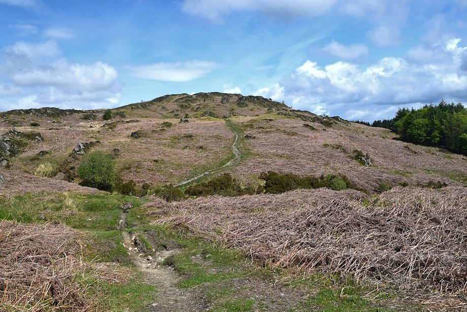
| The start of the path over Round Haw towards Tottlebank Height |
 |
| Looking over to Caw and Pikes from the path on Round Haw |
 |
| Top o' Selside and Arnsbarrow Hill from the path on Round Haw |
 |
| Looking back towards Wool Knott |
 |
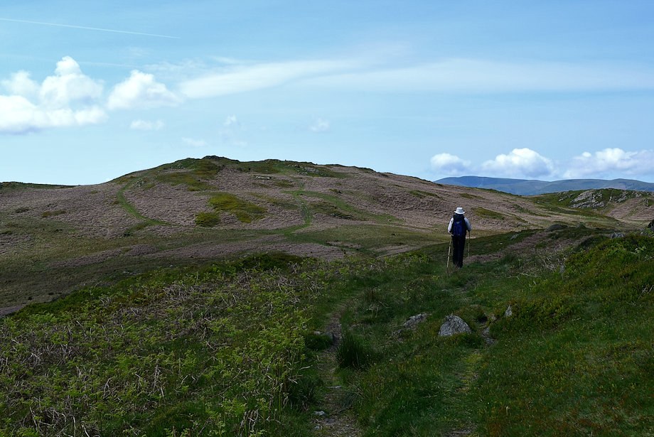
| The clear path on Round Haw avoids the summit of Tottlebank Height |
 |
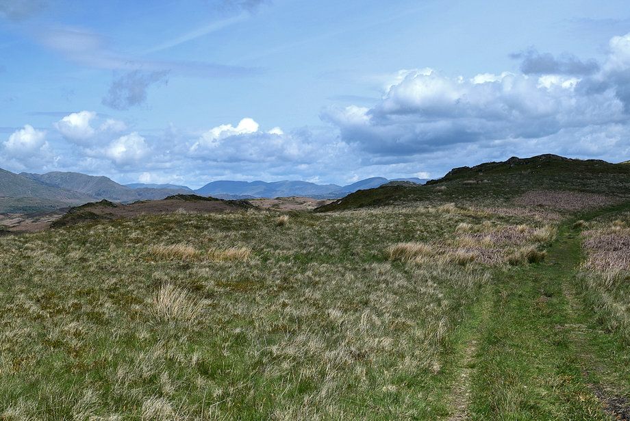
| Looking back over Blawith Common |
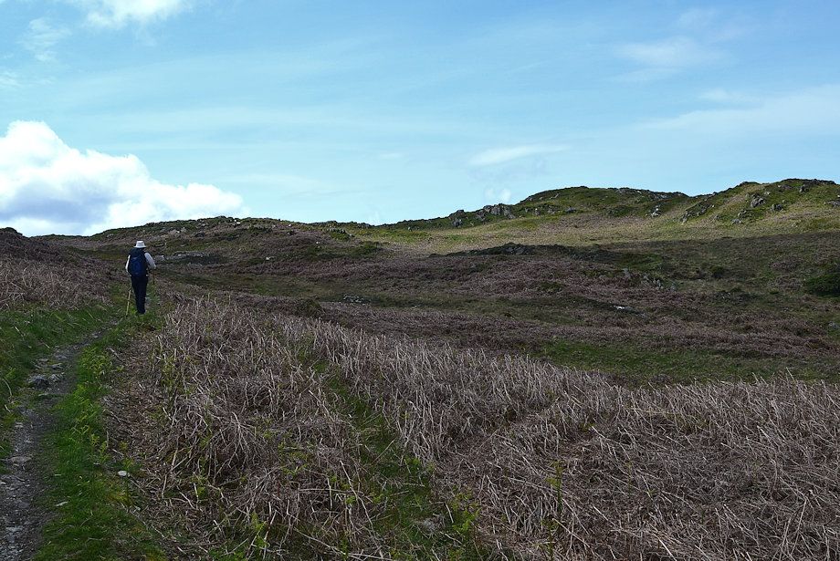 |
| The path contours below the summit of Tottlebank Height and continues along the ridge towards Blawith Knott |
 |
| Looking back to Wool Knott and Beacon Fell |
 |
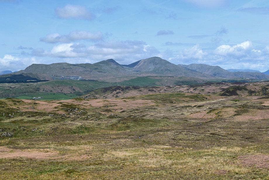
| The Coniston Fells |
 |
| The path climbs over a rocky section of the ridge |
 |
| Looking across to Burney |
 |
| Looking back to Tottlebank Height |
 |
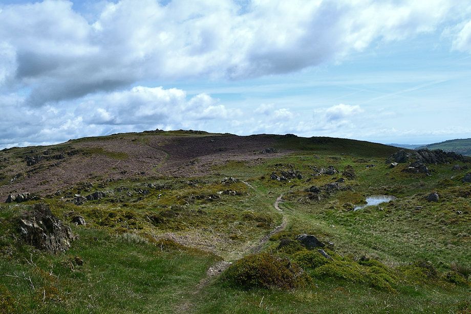
| An un-named tarn lies beyond the rocky section of the ridge |
 |
| Blawith Knott comes into view on passing the tarn where the path descends to a col |
 |
| Looking back to the tarn |
 |
| From the col there is a choice of paths leading up to the summit |
 |
| Looking back from the col, the Fairfield group of fells on the far horizon |
 |
| We take the right-hand path which is more direct |
 |
| Looking back to Tottlebank Height from the climb to the summit |
 |
| The Eastern and Far Eastern Fells on the horizon |
 |
| The Coniston Fells from the climb to the summit |
 |
| Caw from the climb to the summit |
 |
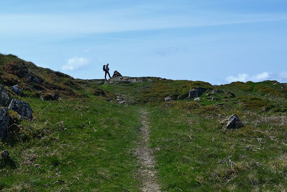
| Approaching the summit of Blawith Knott |
 |
| The summit of Blawith Knott |
 |
| The summit cairn on Blawith Knott |
 |
| Top o' Selside and Arnsbarrow Hill from the summit of Blawith Knott |
 |
| The Crake Valley from the summit of Blawith Knott |
 |
| Burney and Kirkby Moor from the summit of Blawith Knott |
 |
| The Duddon Estuary from the summit of Blawith Knott |
 |
| Black Combe from the summit of Blawith Knott |
 |
| Kinmont Buck Barrow, Buck Barrow, Burnmoor, Whitfell, Stainton Pike, Yoadcastle, Woodend Height and Stickle Pike on the horizon from the summit of Blawith Knott |
 |
| Caw and the Scafells from the summit of Blawith Knott |
 |
| The Coniston Fells from the summit of Blawith Knott |
 |
| Hevellyn, Dollywaggon Pike, Fairfield, Hart Crag, Dove Crag, Red Screes, Caudale Moor, Thornthwaite Crag, Ill Bell, Harter Fell, Kentmere Pike, and Tarn Crag on the horizon from the summit of Blawith Knott |