 |
| The north ridge of Souther Fell and Bowscale Fell's east ridge from Mungrisdale |
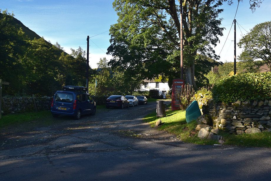 |
| The walk starts along the lane by the telephone box in Mungrisdale where there is room to park half a dozen cars |
 |
| At the end of the short lane a gate gives access to a rough track beside the River Glenderamackin |
 |
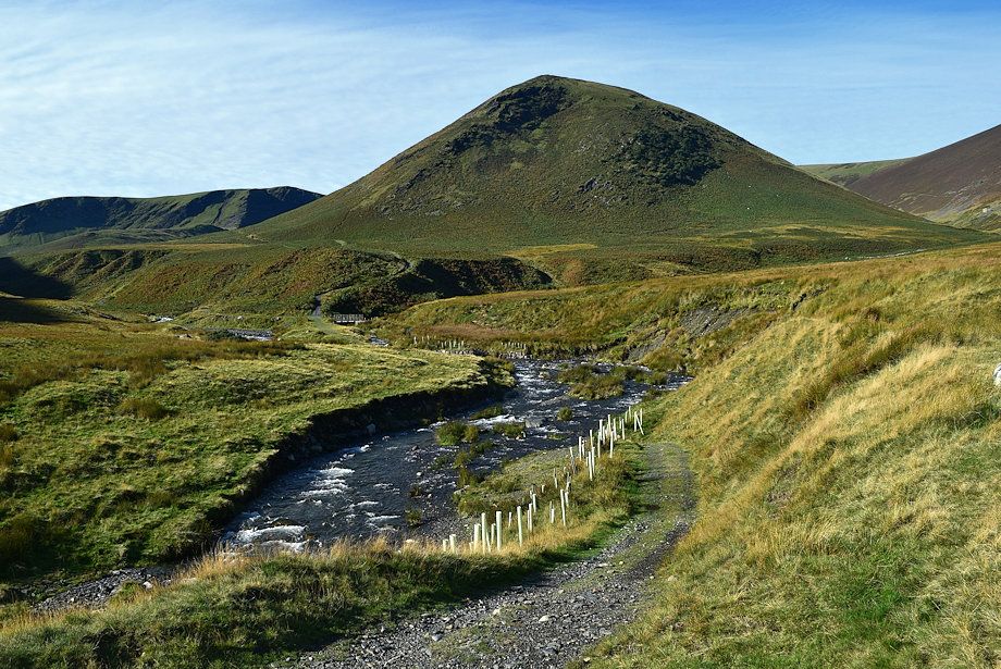
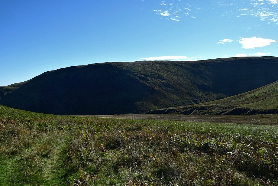
| The view ahead is dominated by The Tongue, a subsiduary ridge of Bowscale Fell |
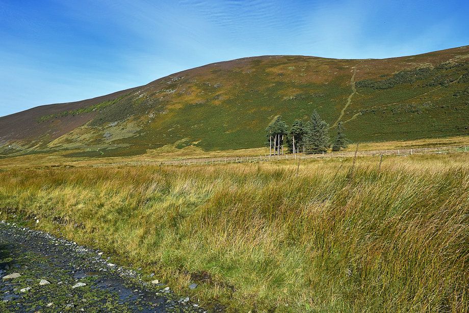 |
| Bowscale Fell's east ridge from the track |
 |
| Formerly the track used to descend slightly and run alongside the River Glenderamackin towards the footbridge over Bullfell Beck, but the path was swept away together with the footbridge during a winter storm in 2015 |
 |
| A guidepost directs walkers onto a new path |
 |
| The new inverted soil path makes a wide sweeping turn across boggy ground |
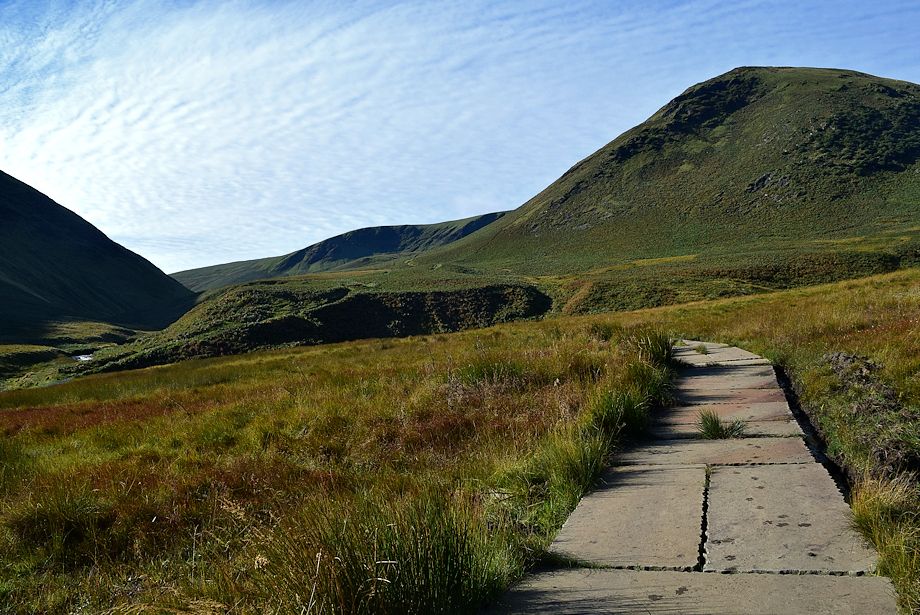 |
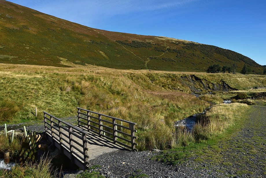
| As it approaches Bullfell Beck the path is paved with thick slate slabs |
 |
| The new footbridge over Bullfell Beck |
 |
| The washed-out path from the new footbridge |
 |
| Bullfell Beck from the footbridge |
 |
| Bowscale Fell's east ridge from the footbridge |
 |
|
The path divides above the footbridge, the way ahead lies straight ahead up a steep bank, the left branch continues alongside the River Glenderamackin
|
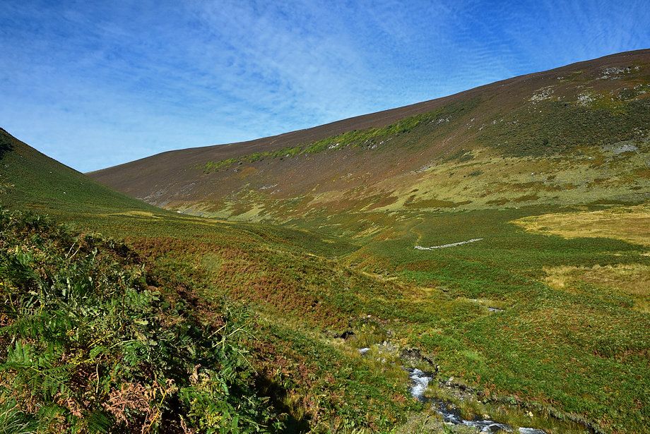 |
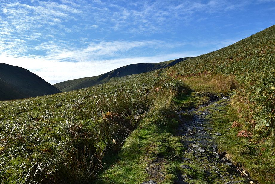
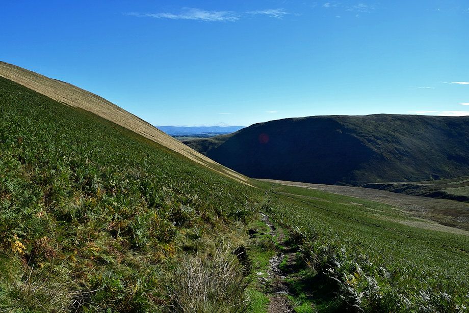
| The valley of Bullfell Beck |
 |
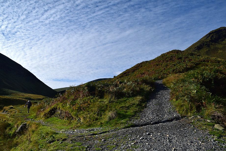
| At the top of the bank the path splits, keep to the right which is much clearer, both paths re-unite higher on the slope |
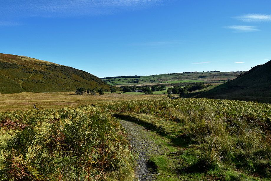 |
| Looking back to Mungrisdale |
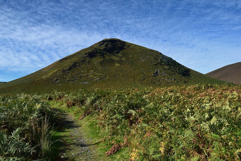 |
| The Tongue |
 |
| The path gradually climbs around the south-eastern slopes of The Tongue |
 |
| Bannerdale Crags comes into view |
 |
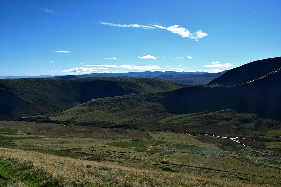
| Looking back to the Pennines on the horizon |
 |
| The path begins to level out as it enters Bannerdale |
 |
| Clough Head appears over Mousthwaite col |
 |
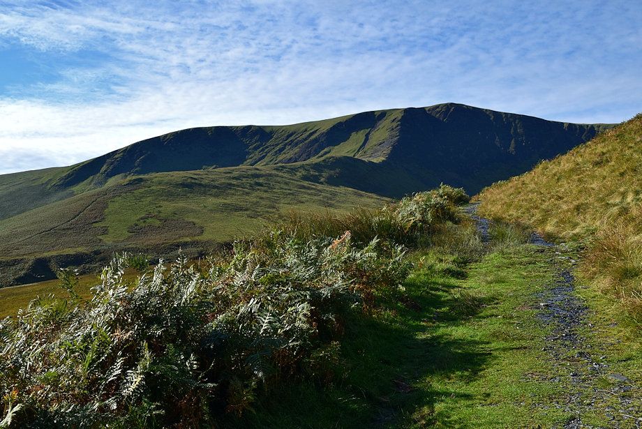
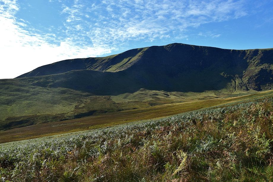
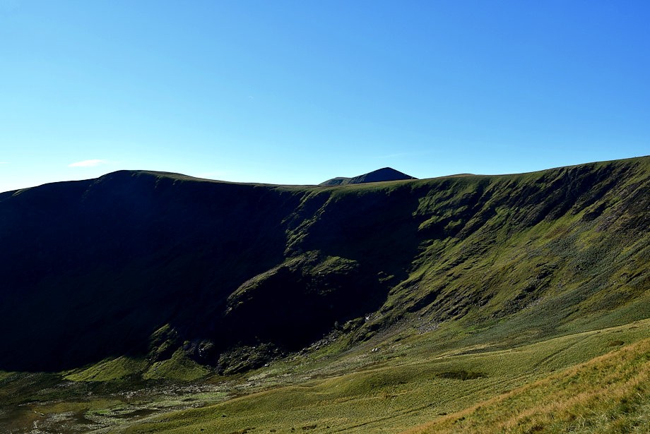
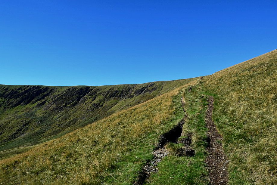
| The headwall of Bannerdale |
 |
| The line of the path climbing up to the ridge between Bannerdale Crags and Bowscale Fell comes into view |
 |
| Great Dodd, to the left of Clough Head, comes into view above Mousethwaite col |
 |
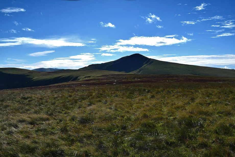
| The summit of Bannerdale Crags across Bannerdale |
 |
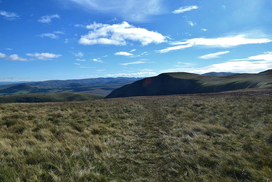
| Looking back to Souther Fell |
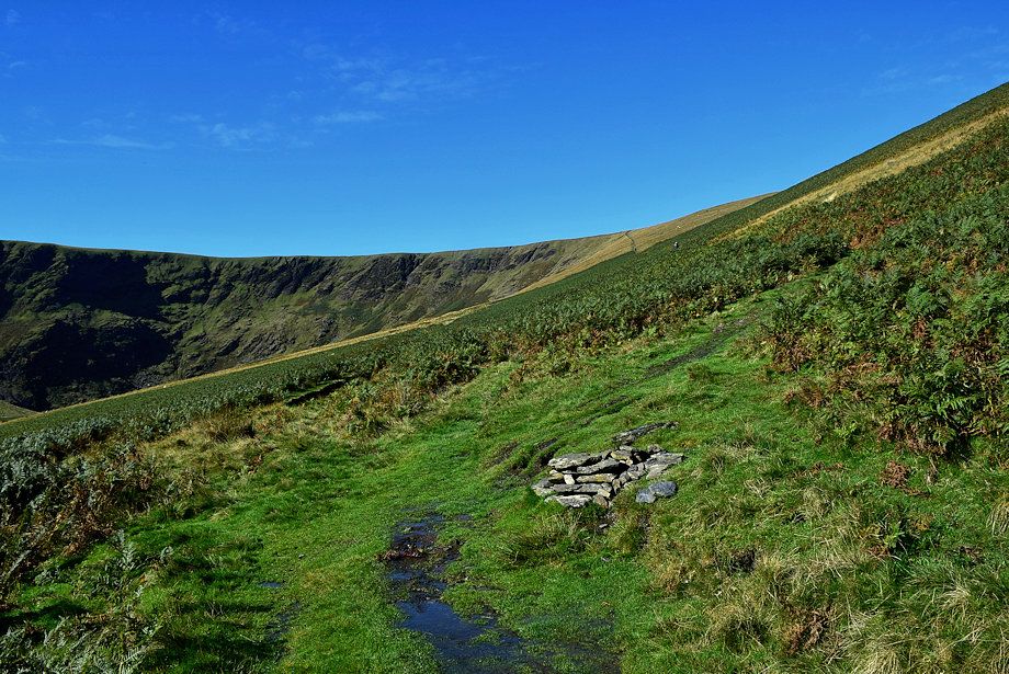 |
| A marker cairn indicates the point where the path forks, keep right on the rising path through the bracken, the left branch eventually fades away in the floor of the valley below the steep headwall |
 |
| Looking back along the lower part of the path |
 |
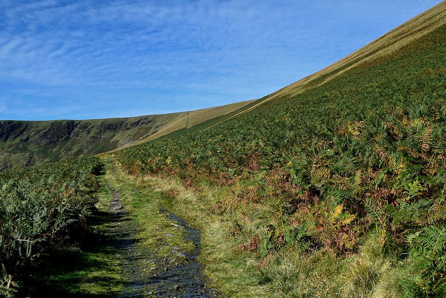
| The grass slope on the southern flank of The Tongue is the steepest part of the walk |
 |
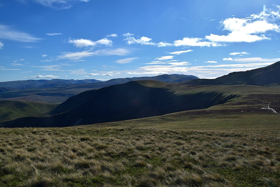
| Souther Fell and the east ridge of Bannerdale Crags across Bannerdale |
 |
| Looking back along the southern flank of The Tongue |
 |
| Atkinson Pike on Blencathra appears over the head of Bannerdale |
 |
| Approaching the col between Bannerdale Crags and Bowscale Fell |
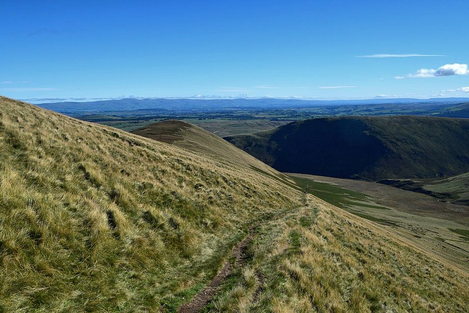 |
| Lookng back from just below the col |
 |
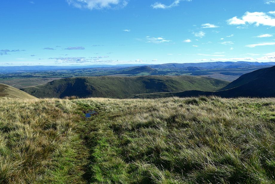
| Looking across Bannerdale to The Far Eastern Fells on the horizon |
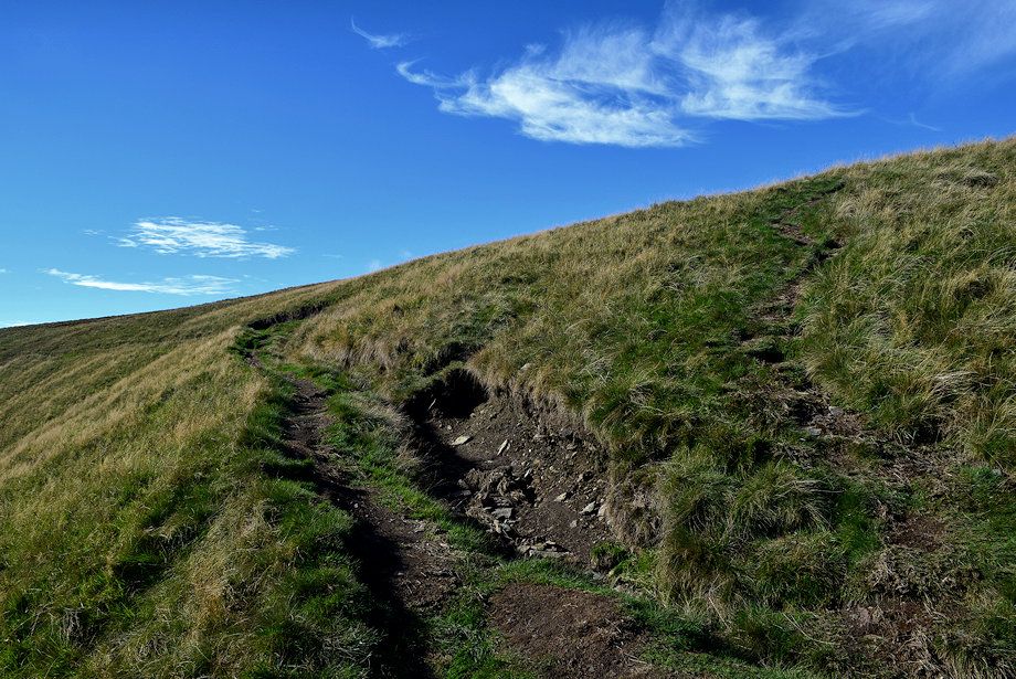 |
| The path splits just below the col continue straight ahead up the final steep bank, the left branch heads for Bannerdale Crags |
 |
| The summit of Bowscale Fell comes into view |
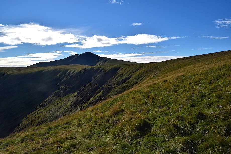 |
| The summit of Blencathra above the headwall of Bannerdale |
 |
| Looking back from the top of the steep bank |
 |
| An upright single stone cairn marks the top of the col between Bannerdale Crags and Bowscale Fell |
 |
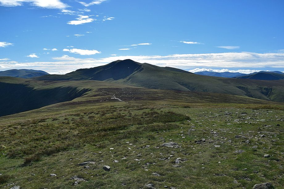
| Bannerdale Crags from the cairn |
 |
| Blencathra from the cairn |
 |
| Continue on from the cairn for a few yards to join the ridge path between Bannererdale Crags and Bowscale Fell |
 |
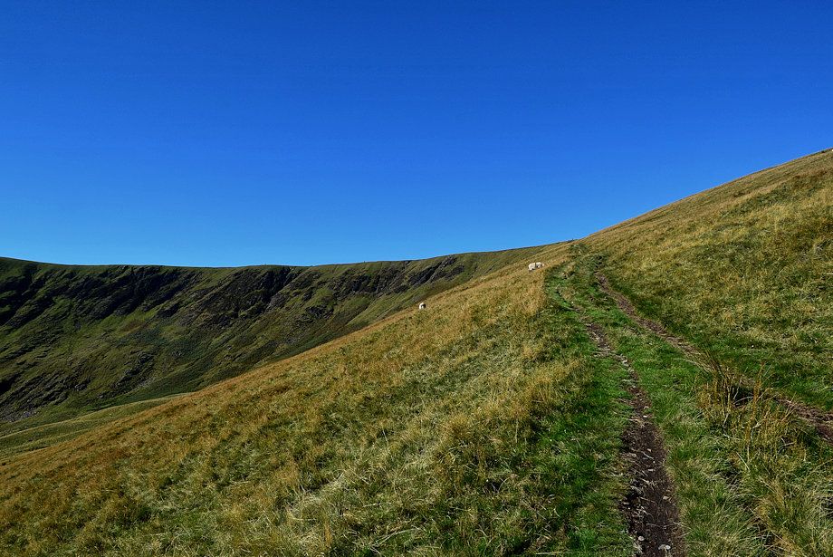
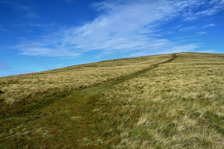
| All that remains is a simple climb of about 150 feet to reach the summit of Bowscale Fell |
 |
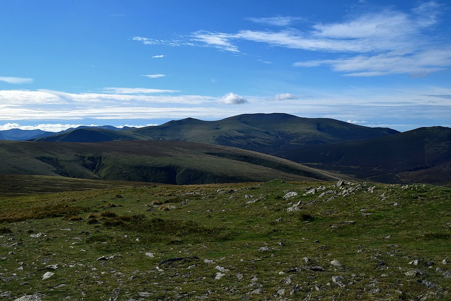
| Looking over to Skiddaw and Great Calva from the climb to the summit |
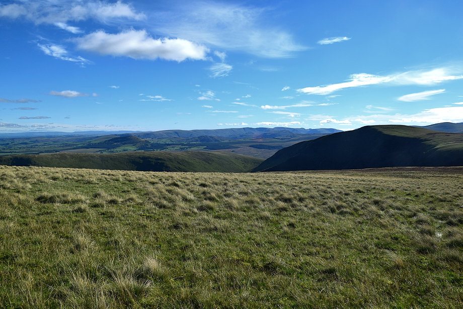 |
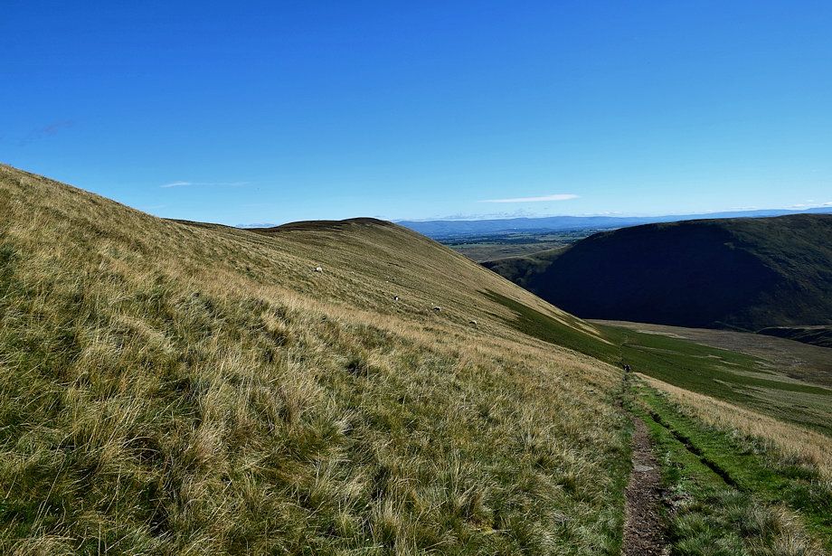
| Looking back to the Far Eastern Fells |
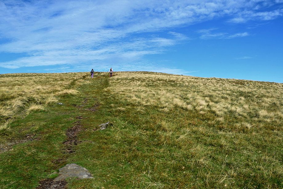 |
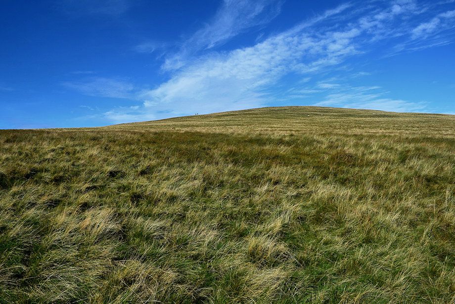
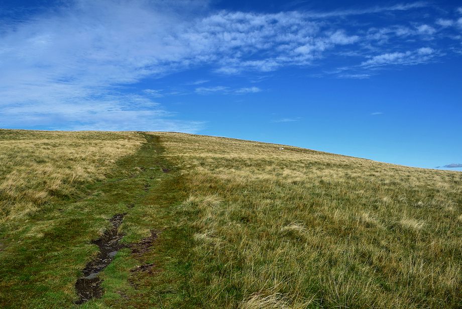
| Approaching the summit of Bowscale Fell |
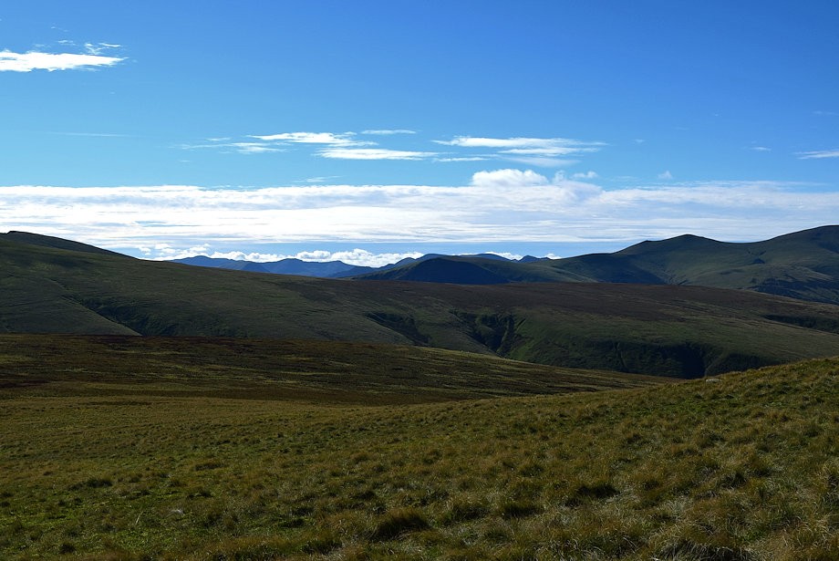 |
| Some of the Western Fells and the North Western Fells appear on the far horizon |
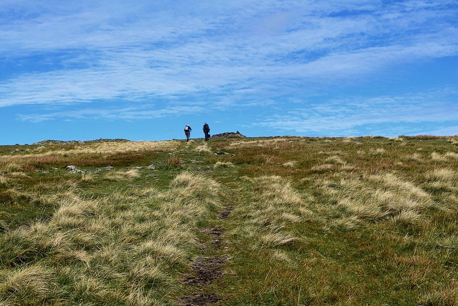 |
| The summit cairn comes into view |
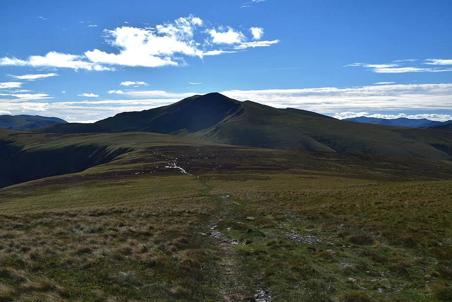 |
| Looking back to Blencathra from just below the summit |
 |
| The connecting ridge to Bannerdale Crags |
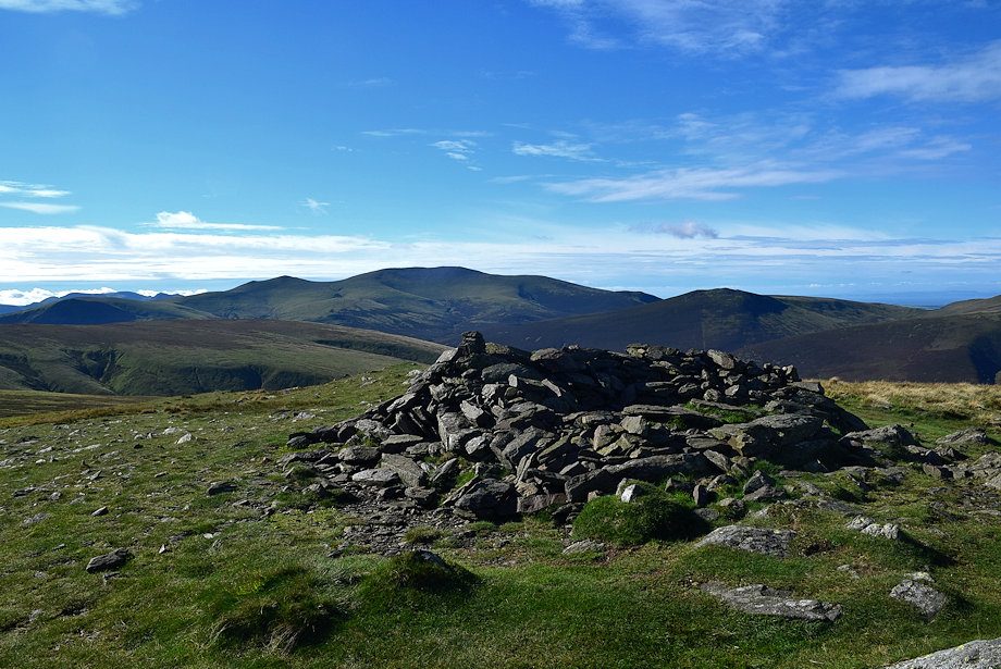 |
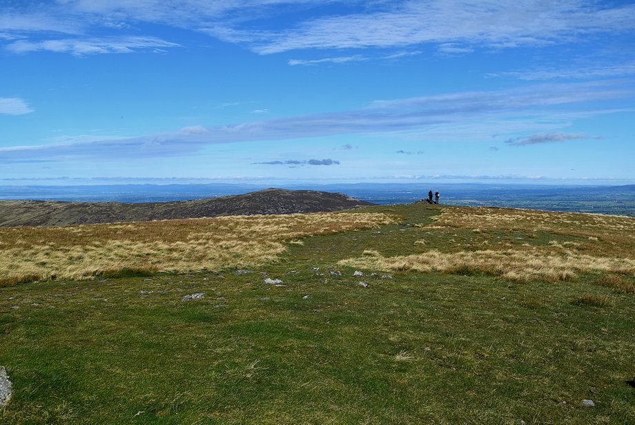
| The summit cairn on Bowscale Fell |
 |
| Great Calva and Knott from the summit of Bowscale Fell |
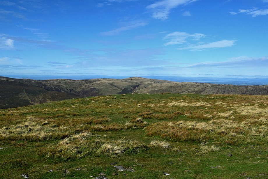 |
| High Pike from the summit of Bowscale Fell |
 |
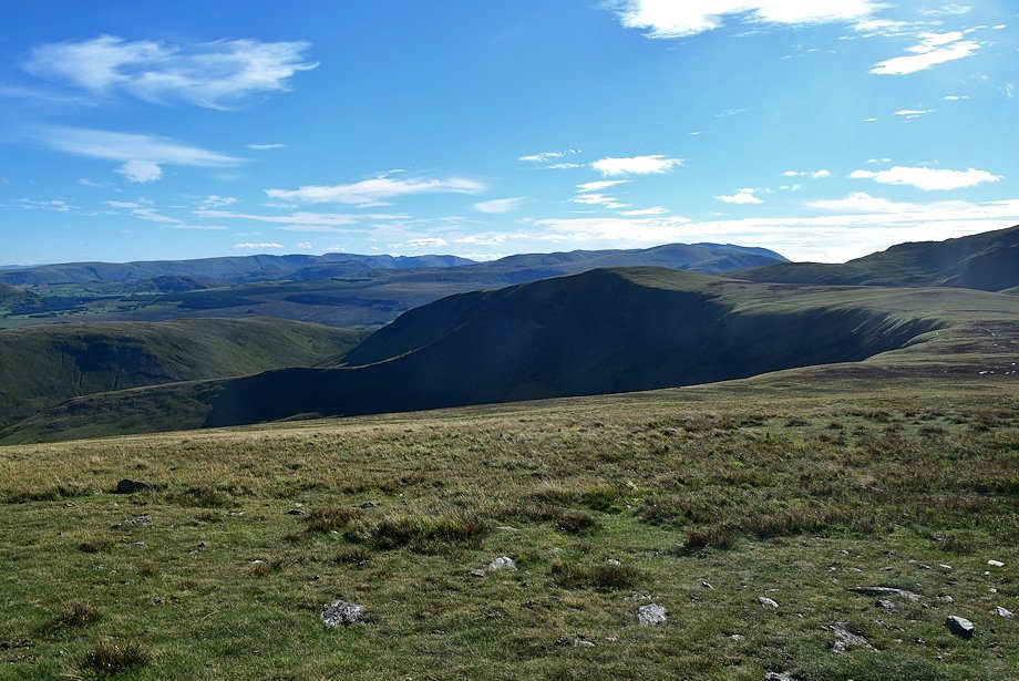
| Carrock Fell from the summit of Bowscale Fell |
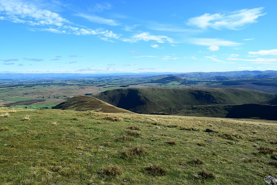 |
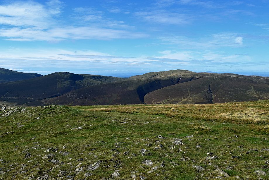
| The Tongue and Souther Fell from the summit of Bowscale Fell |
 |
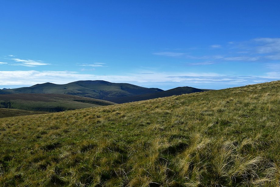
| The Helvellyn range over Bannerdale Crags with the Far Eastern Fells on the left skyline |
 |
| Blencathra from the summit of Bowscale Fell |
 |
| Looking south-east from the summit of Bowscale Fell, Atkinson Pike, Gategill Fell top, Blease Fell top, Hindscarth, Pillar, Scoat Fell, Robinson, High Stile, Red Pike, Causey Pike, Sail, Eel Crag, Grasmoor, Grisedale Pike, Hopegill Head and Skiddaw Little Man form the horizon |
 |
| Skiddaw across Mungrisdale Common from the summit of Bowscale Fell |
