 |
| Starting out from the car park along the old quarry track with Brim Fell on the left skyline |
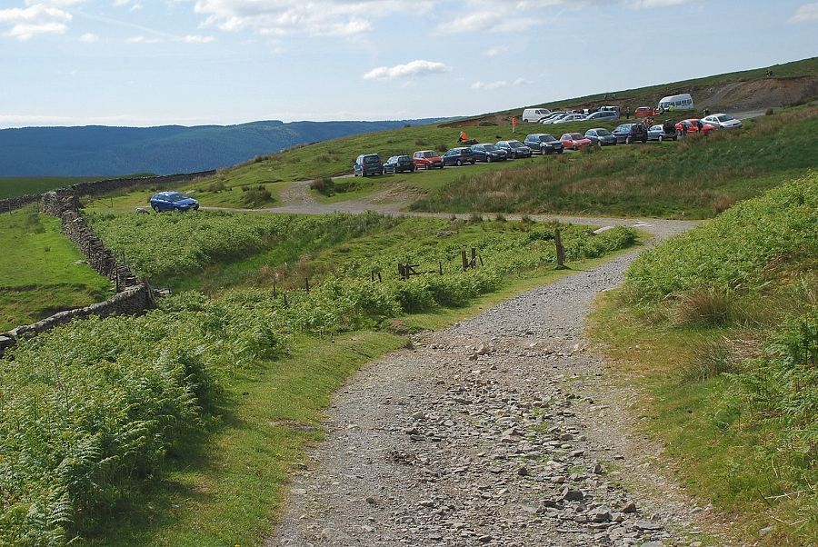 |
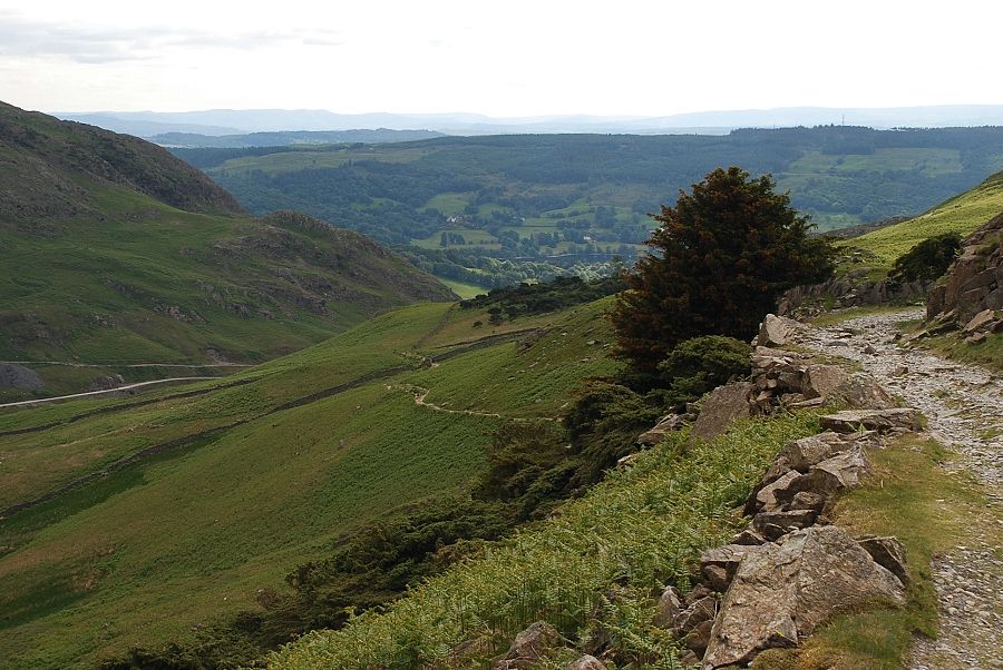
| Looking back to the fell gate car park |
 |
| The track passes The Bell on the right |
 |
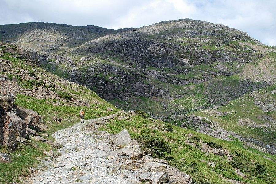
| Approaching Scrow Beck below Stubthwaite Crag |
 |
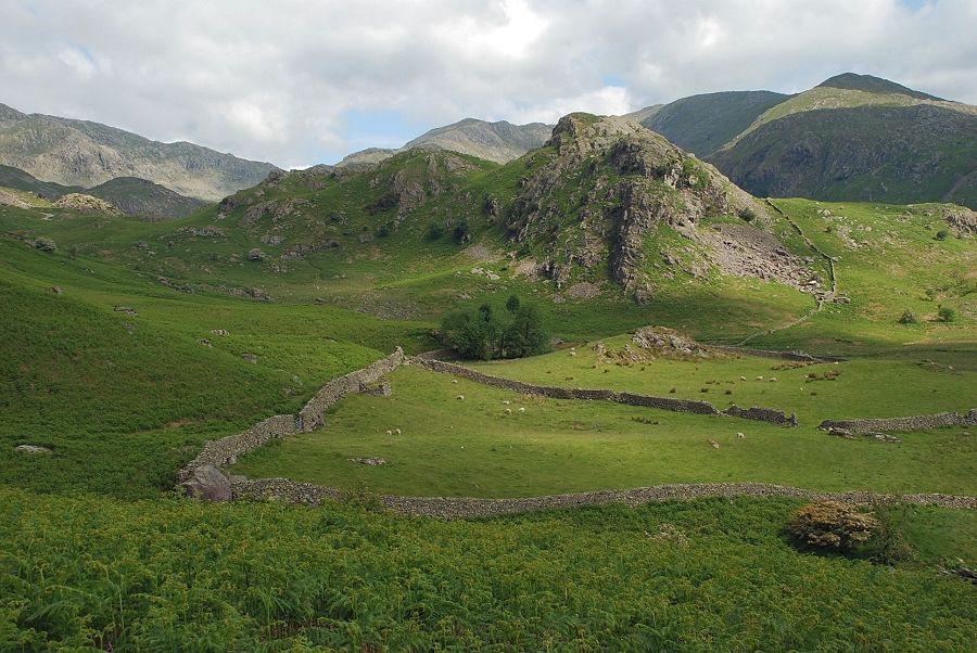
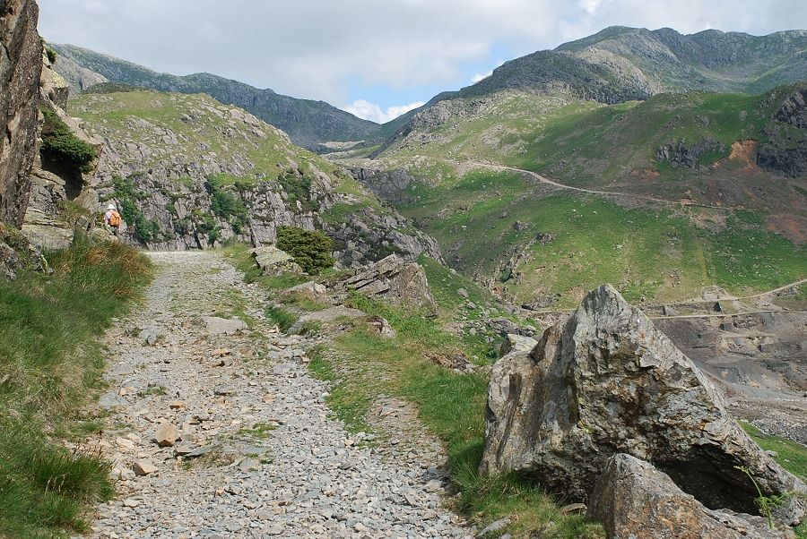
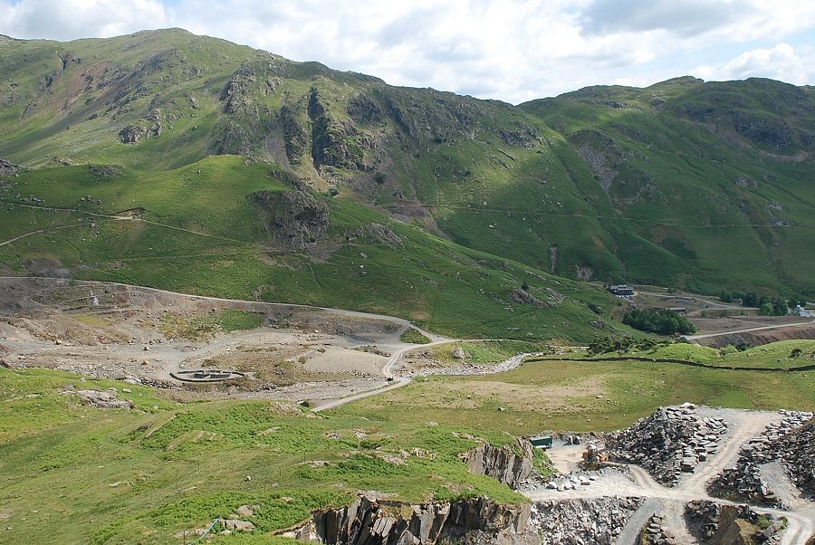
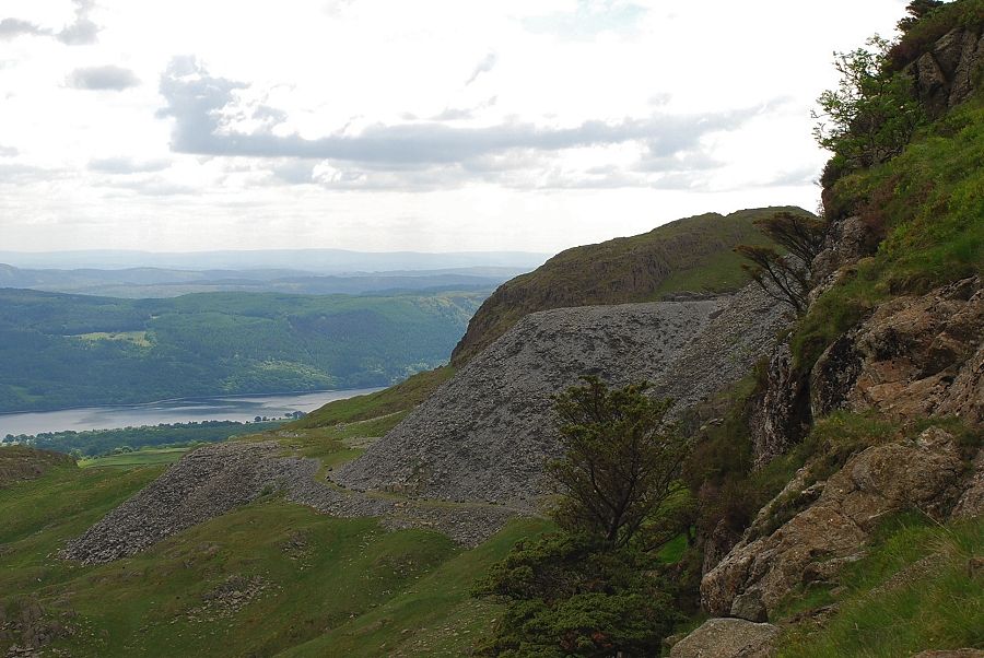
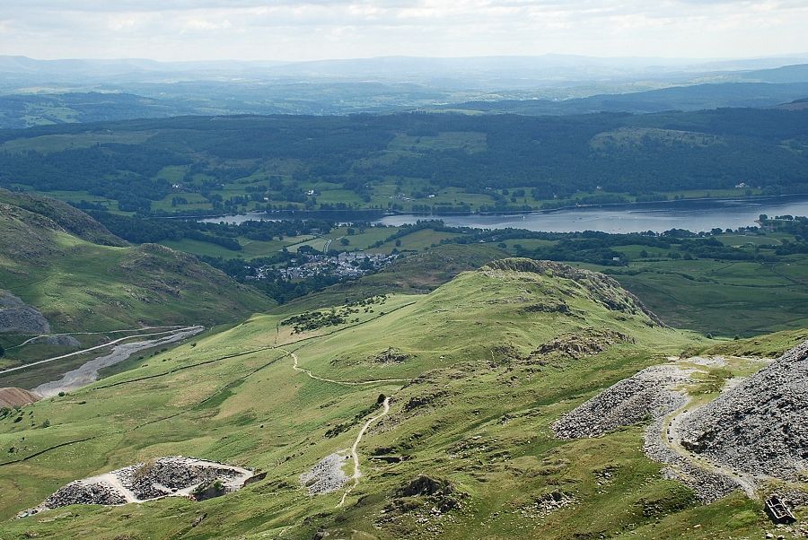
| The track rises towards Crowberry Haws and a level shoulder which overlooks the Coppermines Valley |
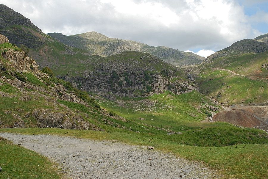 |
| The upper Coppermines Valley |
 |
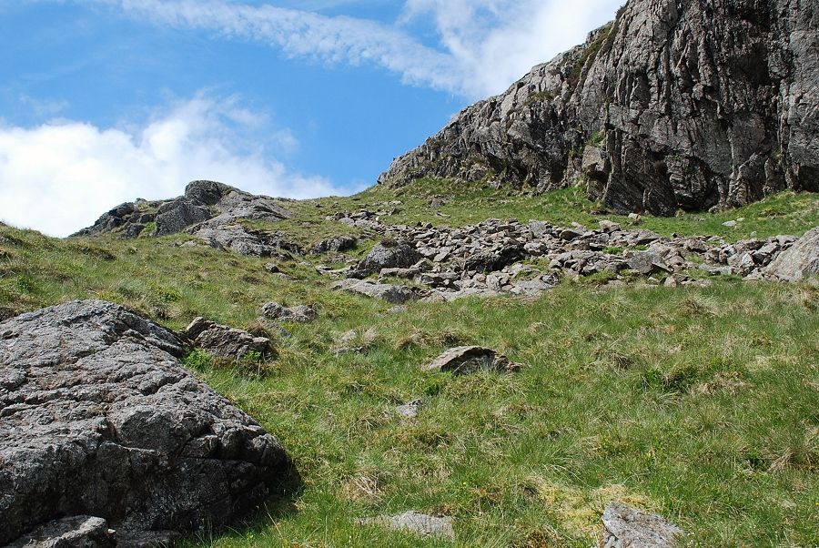
| A few yards beyond the level shoulder a miner's path turns off the main track and contours the slopes of Crowberry Haws |
 |
| Looking back along the miner's path |
 |
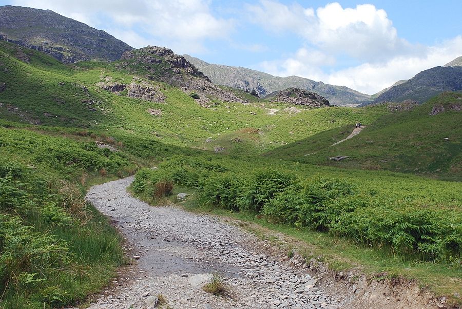
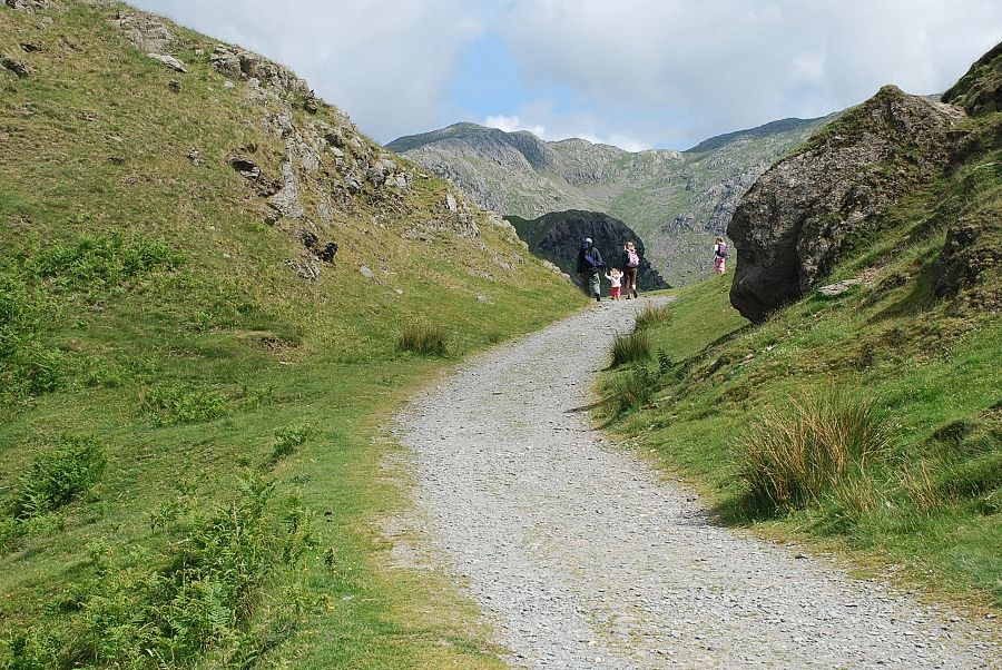
| The path leads to some old quarries and mine workings in Boulder Valley |
 |
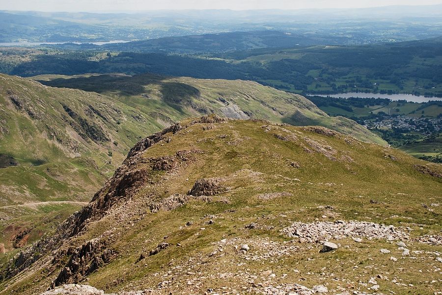
| Brim Fell and Raven Tor from the miner's path |
 |
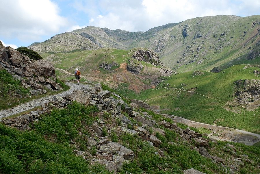
| The Coppermines Valley from the miner's path |
 |
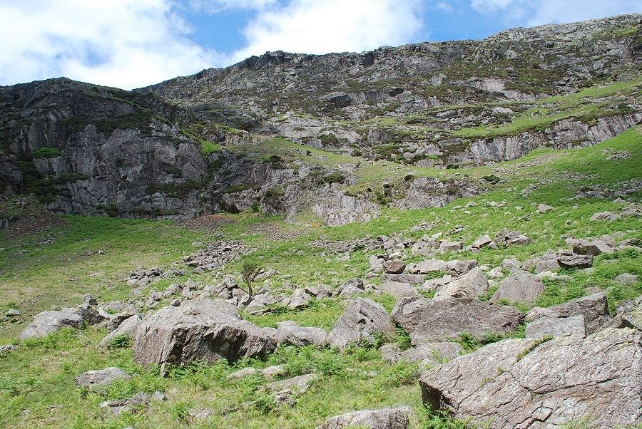
| Descending into Boulder Valley. The route crosses the valley and ascends the obvious grass rake rising from right to left in the centre of the photo |
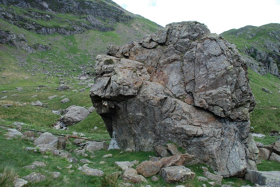 |
| The Pudding Stone, the largest of the boulders in Boulder Valley. At about 25 feet high, its top is easily reached by a short scramble on its south side |
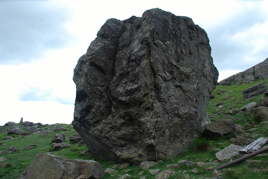 |
| The west side of the stone is a little steeper! |
 |
| Beginning the climb to the foot of the grass rake |
 |
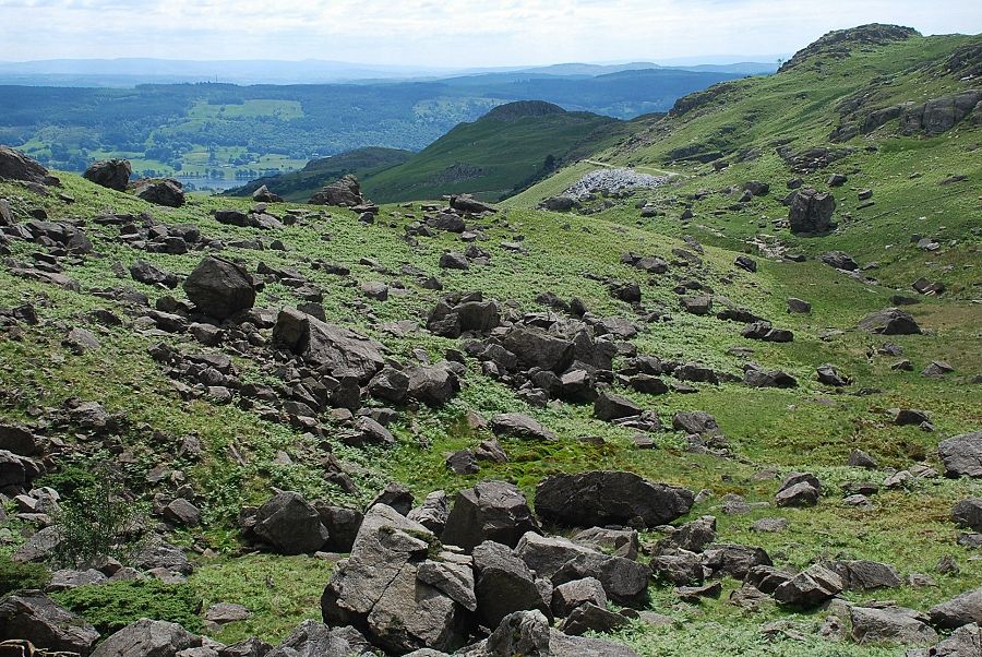
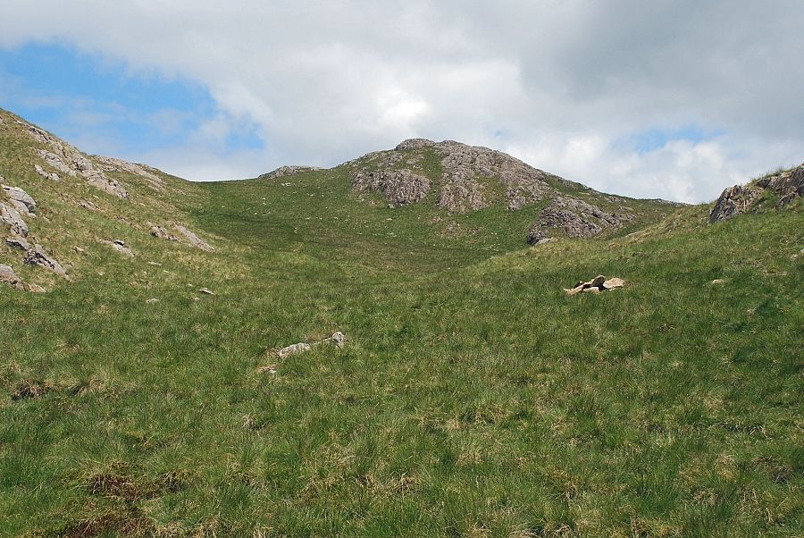
| Boulder Valley. The Pudding Stone is on the right |
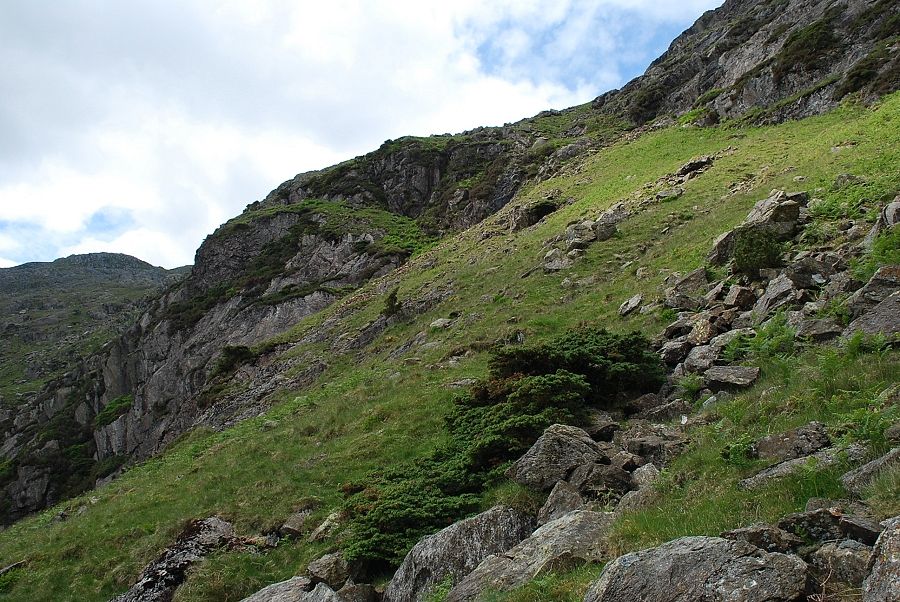 |
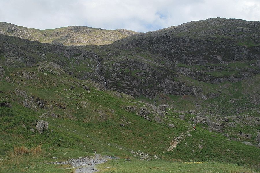
| Looking up the grass rake which provides a remarkably easy route across the southern flank of Raven Tor |
 |
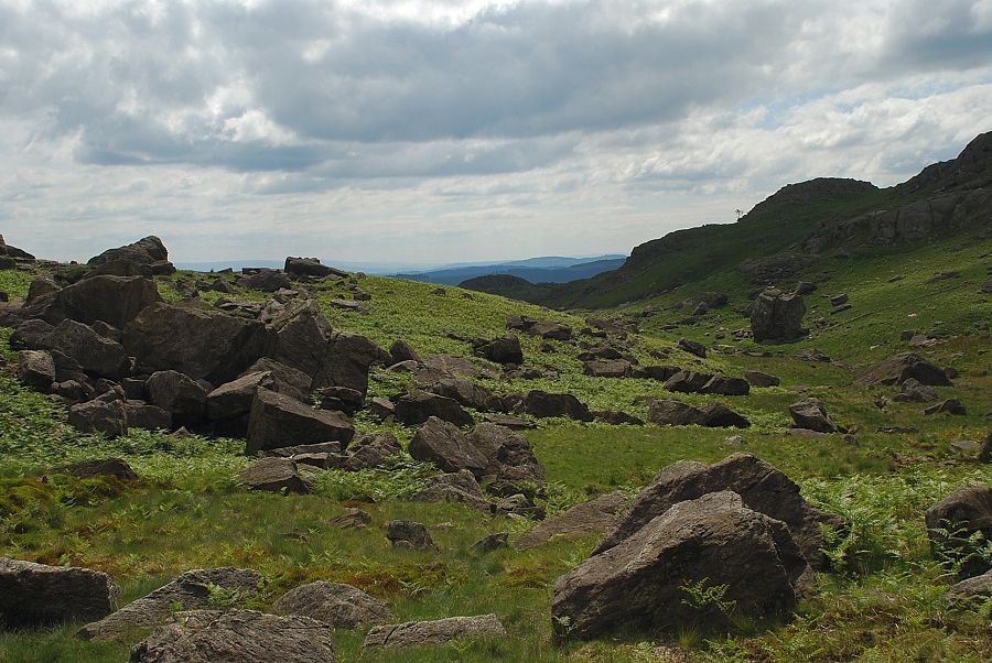
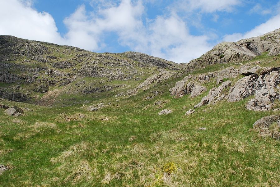
| The Boulder Valley from the foot of the grass rake |
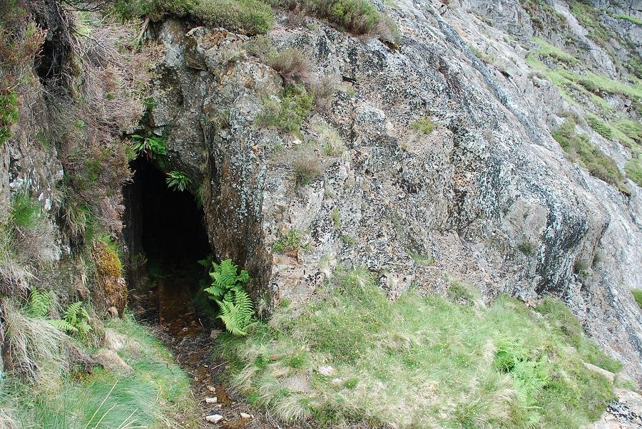 |
| About a third of the way up the grass rake is an entrance to an old mine. AW describes it as a cave in his diagram of this ascent, it is in fact the Gnospelious Level. The level was driven deep into the hillside following the course of a thin vein of copper ore but nothing of any commercial value was found and the mine was abandoned over 70 years ago |
 |
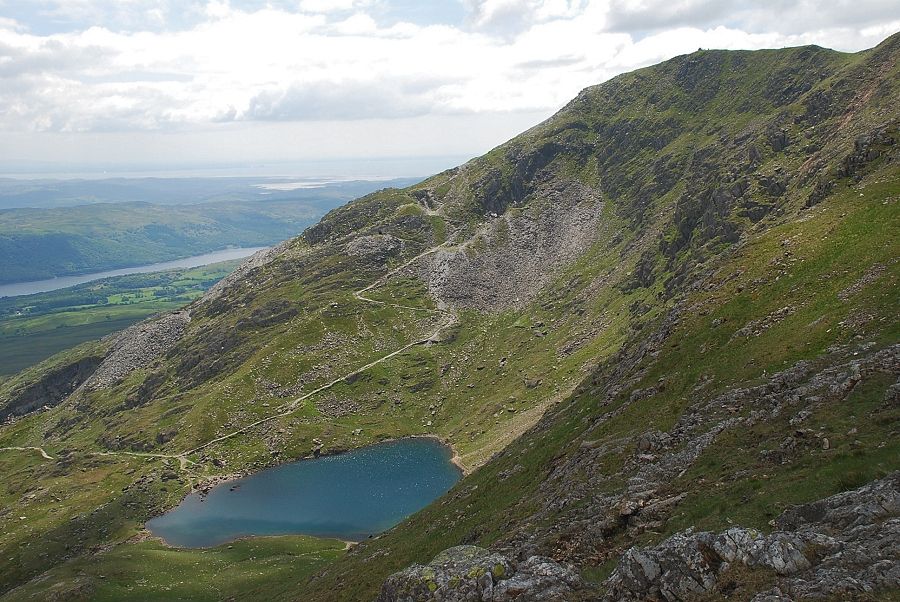
| Coniston Water from the old mine level |
 |
| Looking down the lower part of the grass rake |
 |
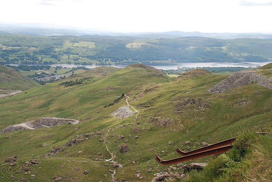
| Looking across to Coniston Water and the spoil heaps of Saddlestone Main Bank and Smithy Bank |
 |
| The upper part of the grass rake |
 |
| Looking back from the top of the grass rake |
 |
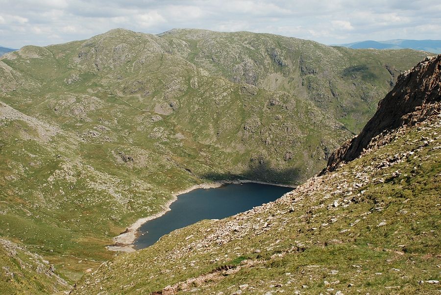
| Coniston Old Man and Low Water from the top of the grass rake |
 |
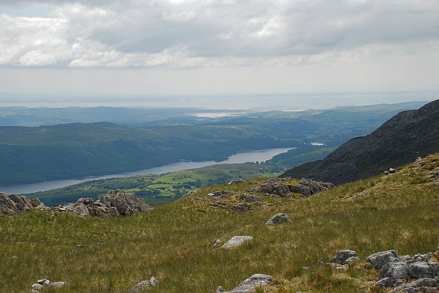
| Coniston Water from the top of the grass rake |
 |
| Brim Fell from the top of the grass rake. A right turn leads over an open slope to join a faint path which rises from Low Water |
 |
| The path leads up to the col between Raven Tor and Brim Fell's east ridge |
 |
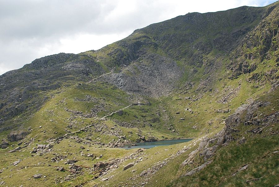
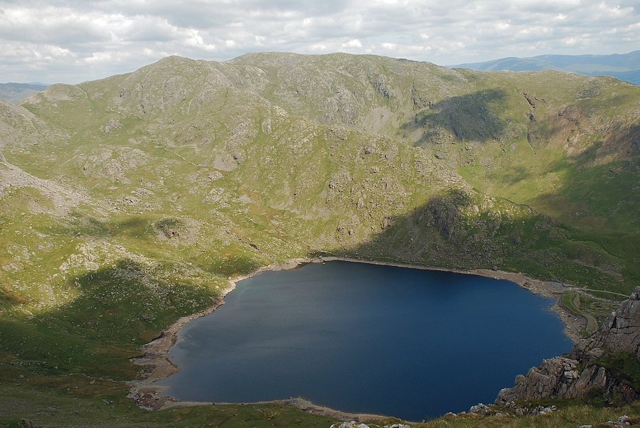
| Low Water and Coniston Old Man from the path to the col |
 |
| Great How Crags and Swirl Hawes from the col |
 |
| Levers Water and Wetherlam from the col, the crags of Raven Tor on the right. It is well worth making the short climb to the top of Raven Tor |
 |
| Coniston Old Man from the summit of Raven Tor |
 |
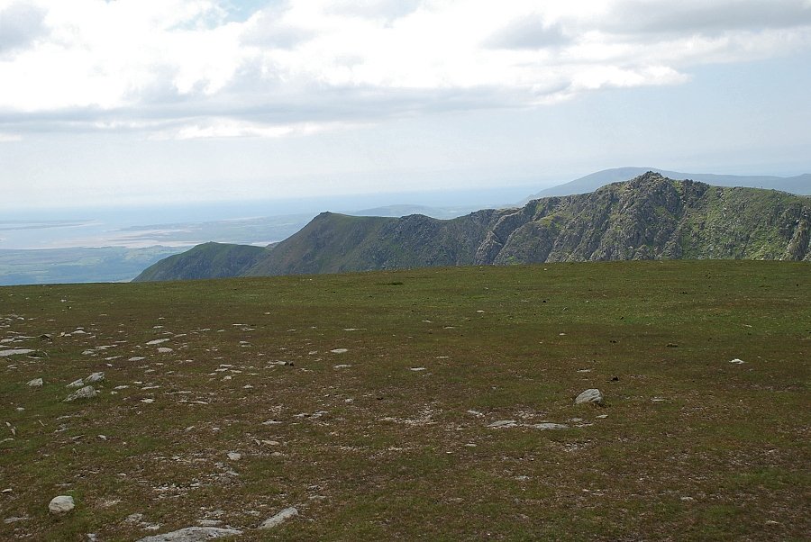
| Coniston Water and Morecambe Bay from Raven Tor |
 |
| Wetherlam and Levers Water from the summit of Raven Tor |
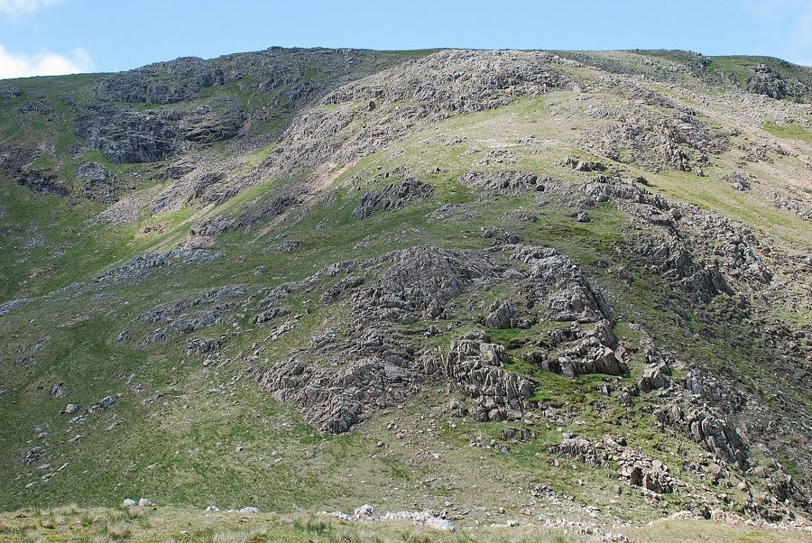 |
| The east ridge of Brim Fell from Raven Tor. A faint path leads up from the col over grass and the occasional rock outcrop to the summit ridge |
 |
| Looking back to the top of Raven Tor from the climb to the summit ridge |
 |
| Low Water and Coniston Old Man from the east ridge of Brim Fell |
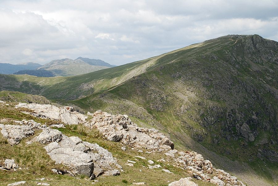 |
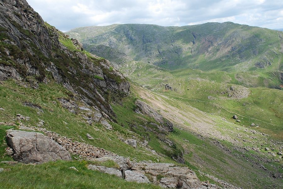
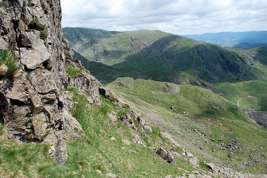
| Near the top of the east ridge, looking over Levers Hawse to Crinkle Crags and Bowfell with Great How Crags on the right |
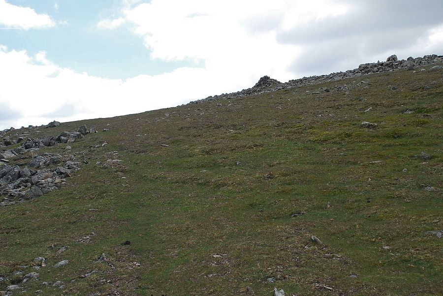 |
| The north east cairn comes into view. This is an important landmark, helping to locate the top of the east ridge when descending in poor visibility |
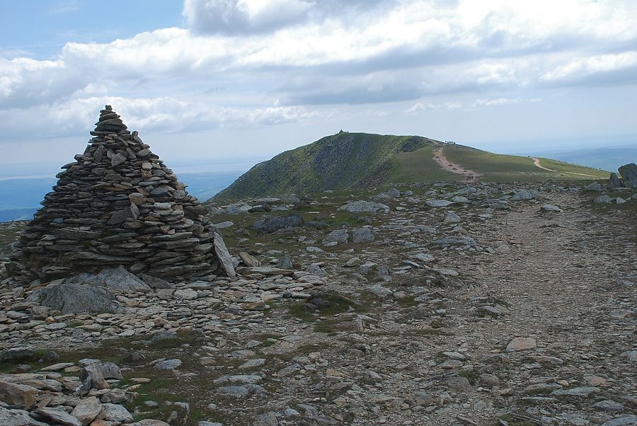 |
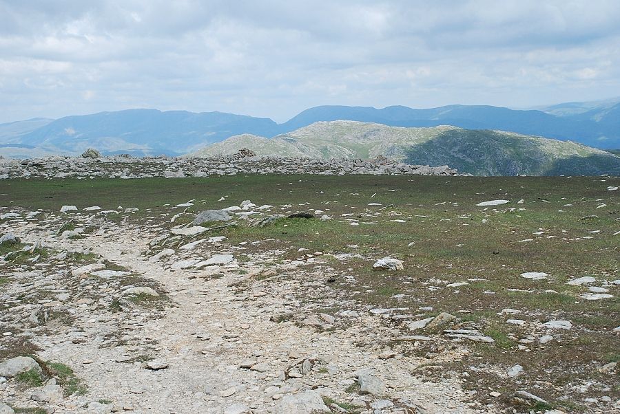
| Coniston Old Man from the summit of Brim Fell |
 |
| Dow Crag from the summit of Brim Fell |
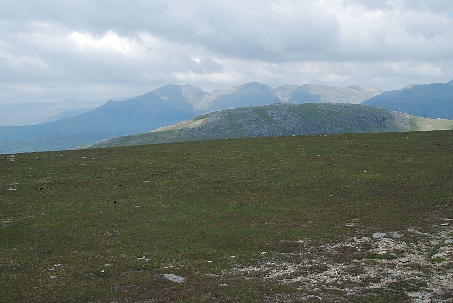 |
| The Scafell range over Grey Friar |
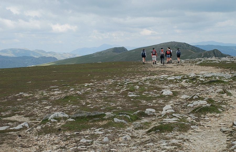 |
| Walkers set off along the main ridge towards Swirl How and Great Carrs |
 |
| Helvellyn and Fairfield on the horizon over sunlit Wetherlam |
