
| Burnbank Fell - Route One |
| Start - Fangs Brow NY 104 225 | Distance - 1.25 miles | Ascent - 860 feet | Time - 1 hour : 05 minutes |
 |
| The top of Fangs Brow above Loweswater at the start of the walk |
 |
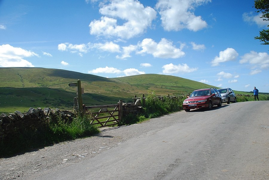
| The roadside gate beside the informal parking area leads onto an open bridleway track |
 |
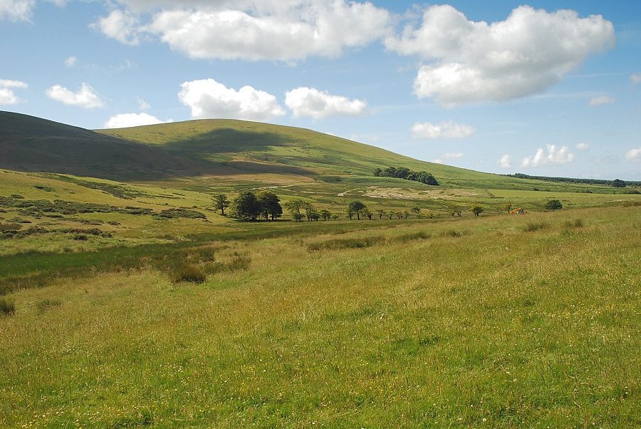
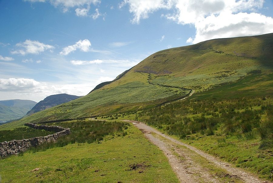
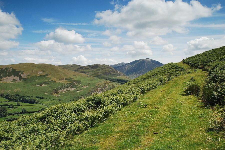
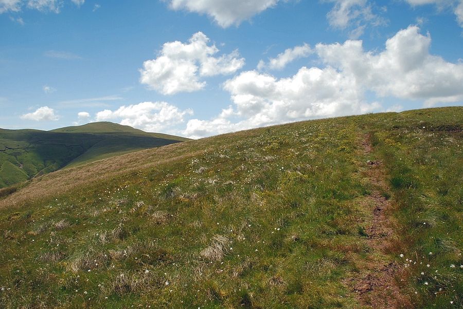
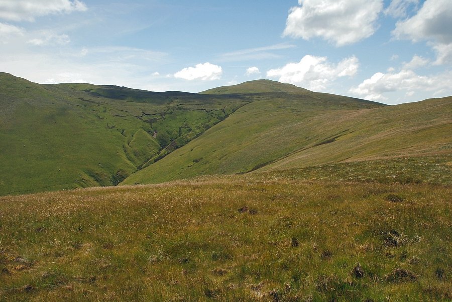
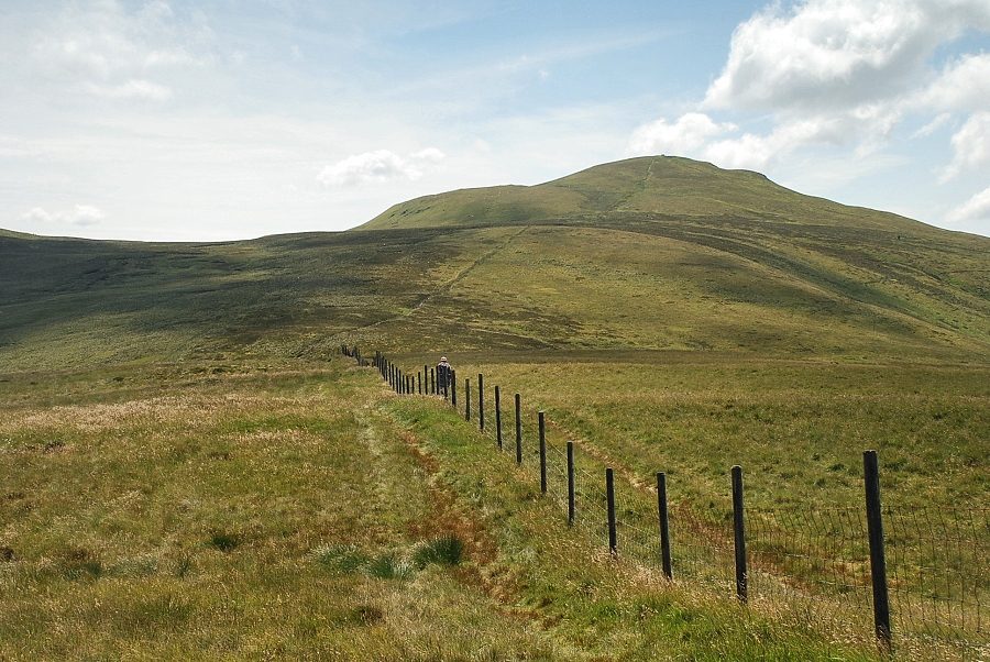
| Burnbank Fell from the start of the bridleway |
 |
| Looking left from the bridleway to Fellbarrow |
 |
| Owsen Fell on the western ridge of Burnbank Fell |
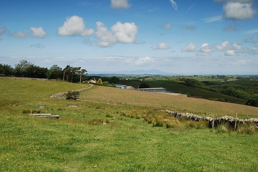 |
| Looking back to Fangs Brow Farm with Criffel on the Scottish coast visible on the horizon |
 |
| The bridleway follows a wall through a couple of gated fields towards the steep northern flank of Burnbank Fell |
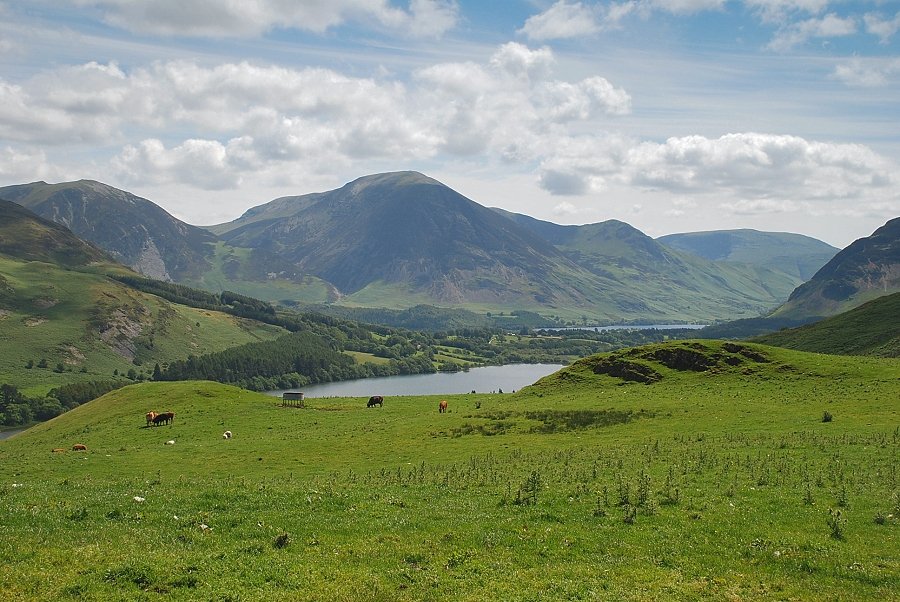 |
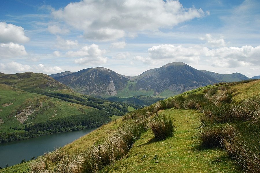
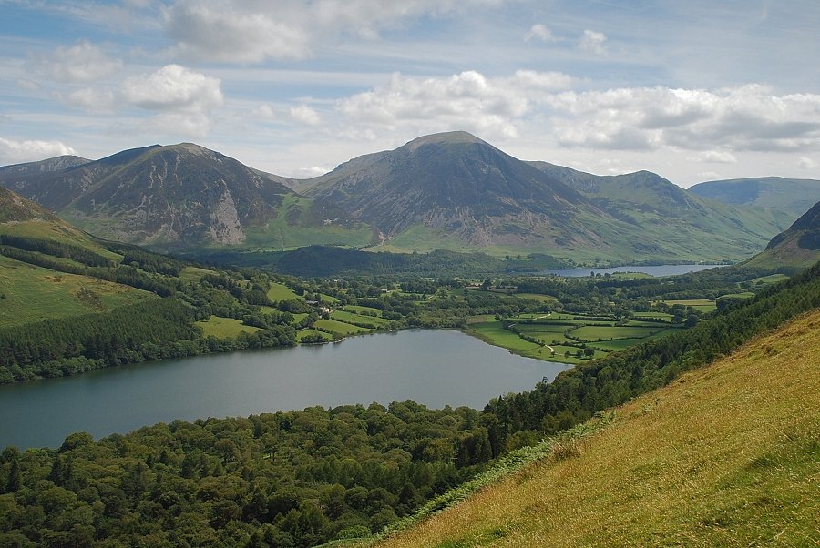
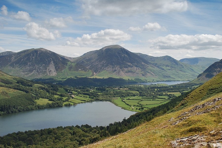
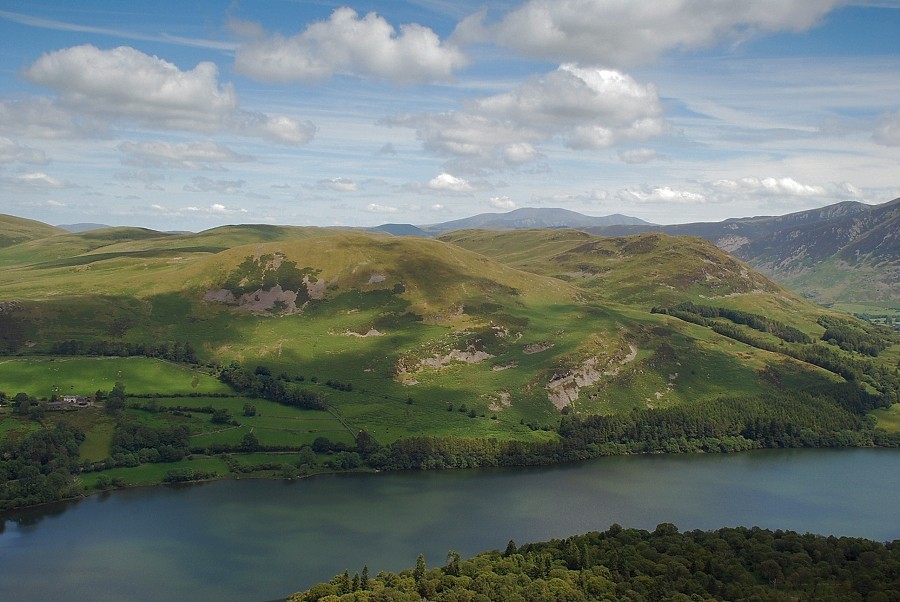
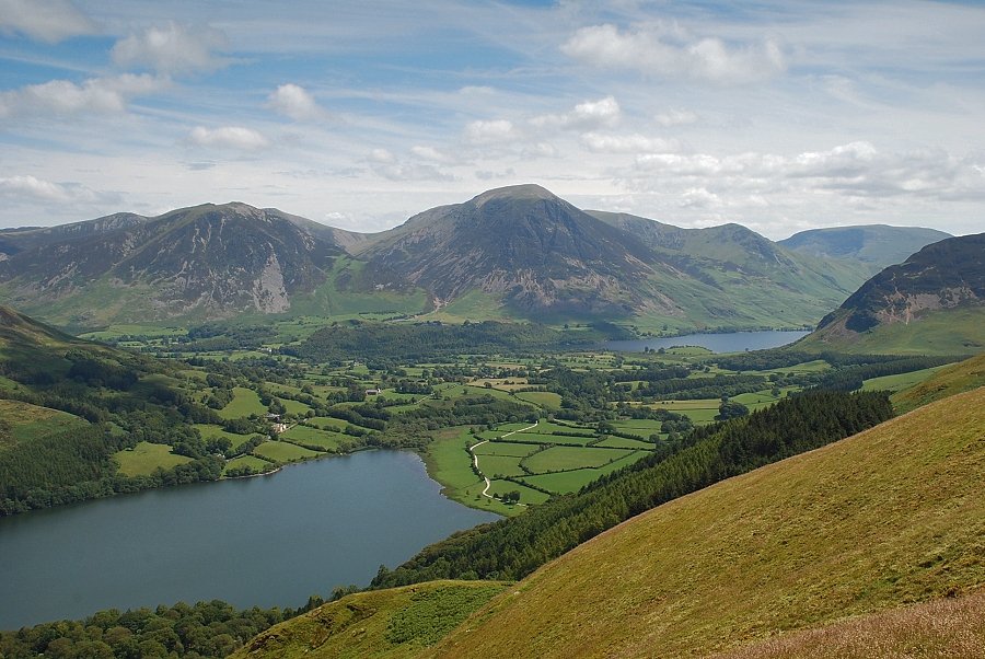
| Loweswater and Crummock Water from the bridleway, the fells on the skyline are Whiteside, Grasmoor, Whiteless Pike and Robinson |
 |
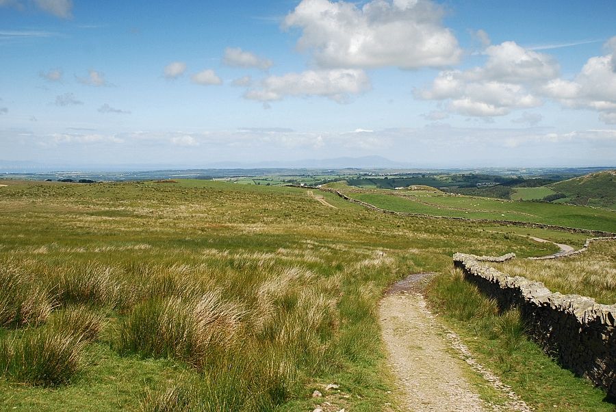
| The bridleway runs all the way to High Nook and Maggie's Bridge and forms part of a very popular circular walk above Loweswater with wonderful views of the lake and its surrounding fells as it passes above Holme Wood |
 |
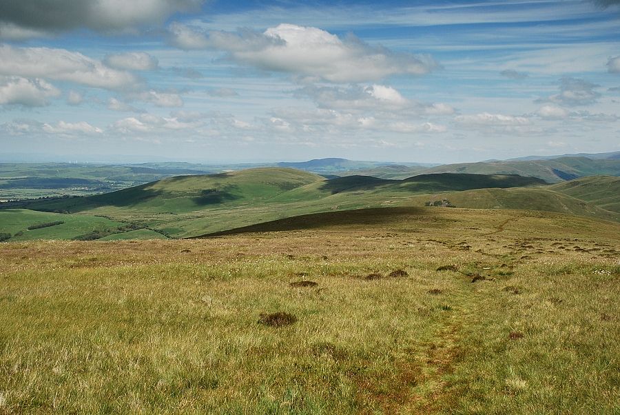
| Looking back along the course of the bridleway track |
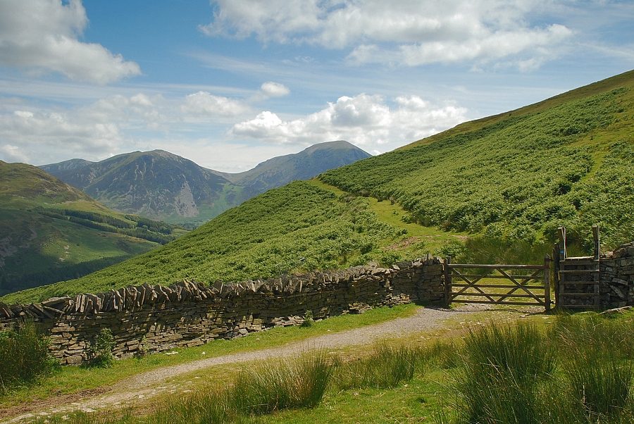 |
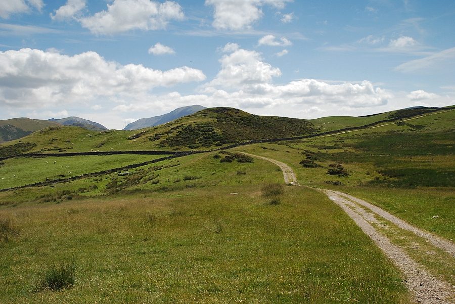
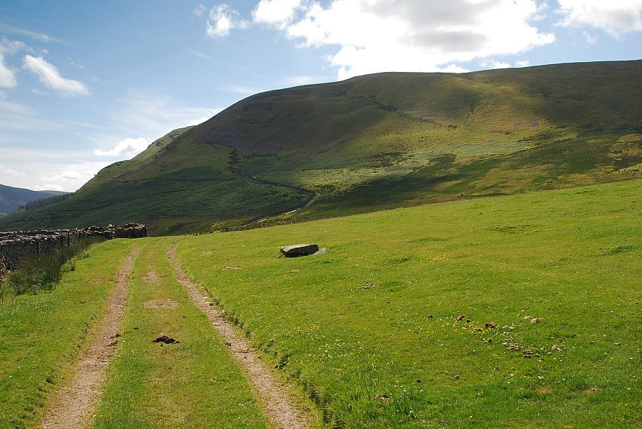
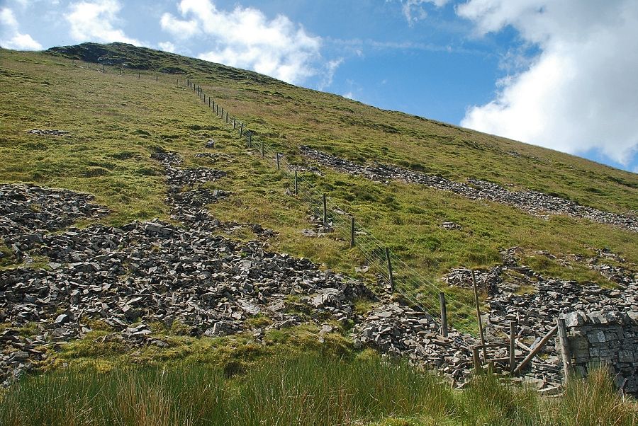
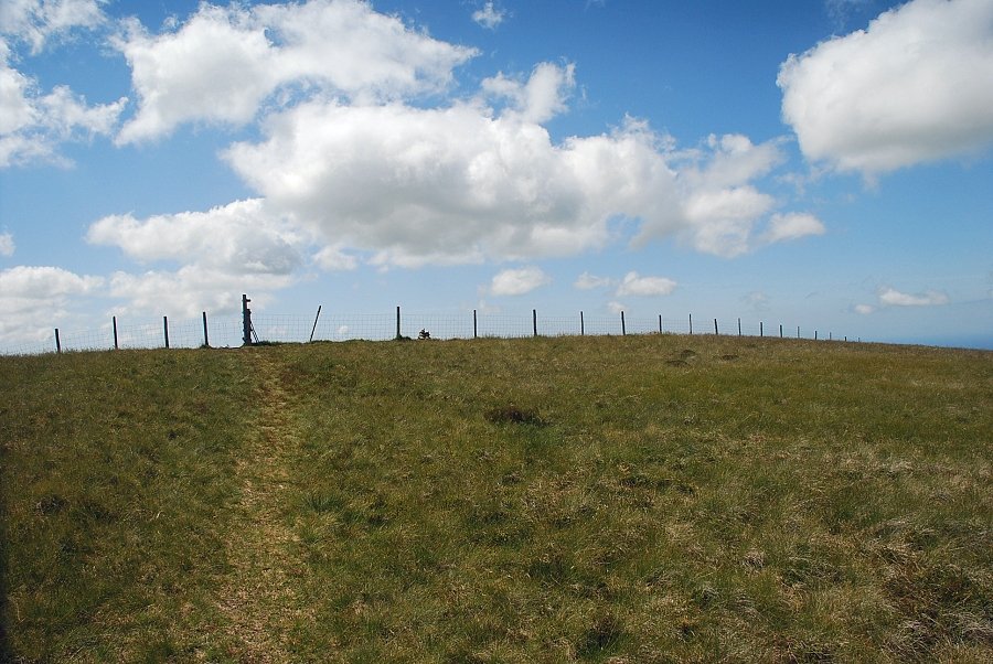
| The bridleway passes through a gate and begins to descend, the ascent continues straight ahead on an old mine track |
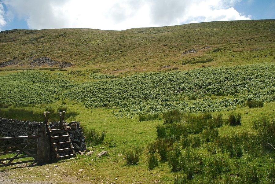 |
| An alternative, and easier, way is to bear right before the gate and join a path which zigzags up the northern flank of the fells before traversing across to a marker cairn on the north-east ridge near the rock outcrop on the left skyline |
 |
| The old mine track climbs up to an area of grassed over spoil heaps and is only a couple of hundred yards long |
 |
| Looking back from the old mine track |
 |
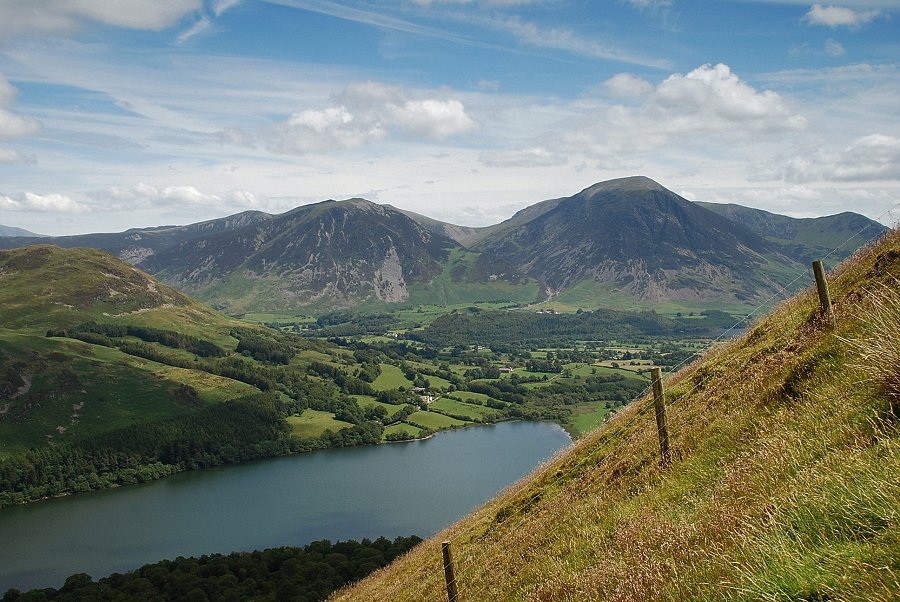
| Whiteside and Grasmoor from the old mine track which levels off at this point before switching back up the slope to the spoil heaps |
 |
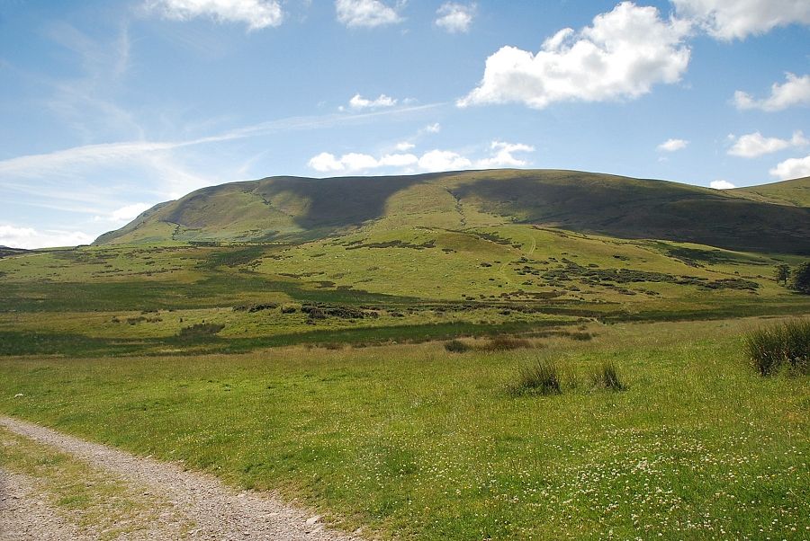
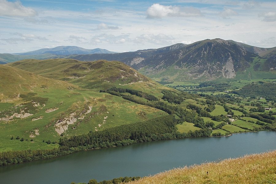
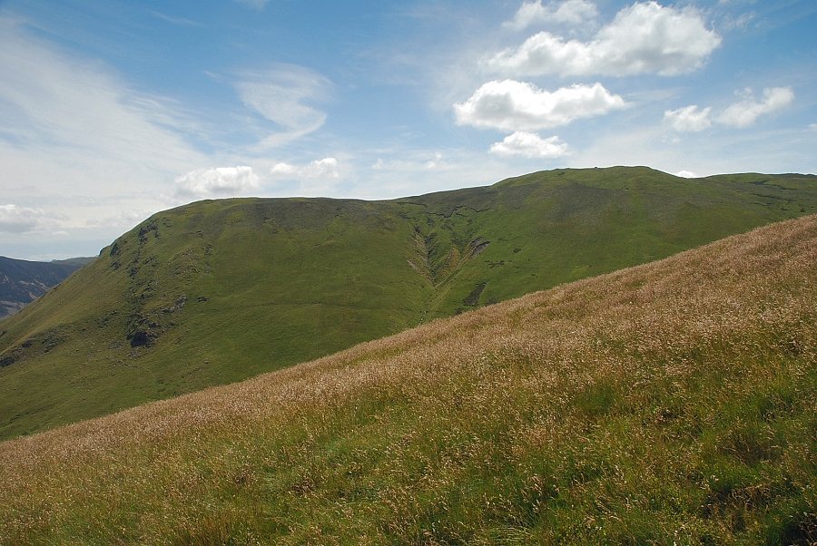
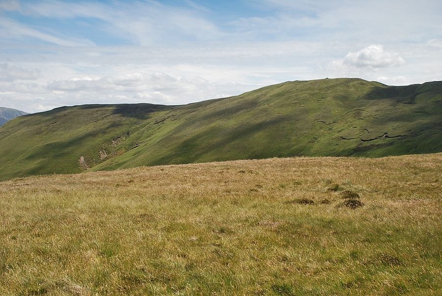
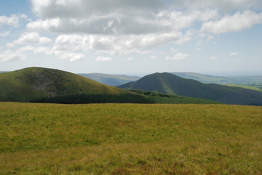
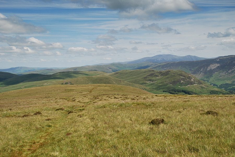
| Darling Fell and Low Fell above Loweswater from the old mine track. The bridleway can be seen traversing the slope on the lower left. |
 |
| Loweswater and Crummock Water from the old mine track as it climbs more steeply towards the spoil heaps |
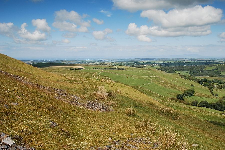 |
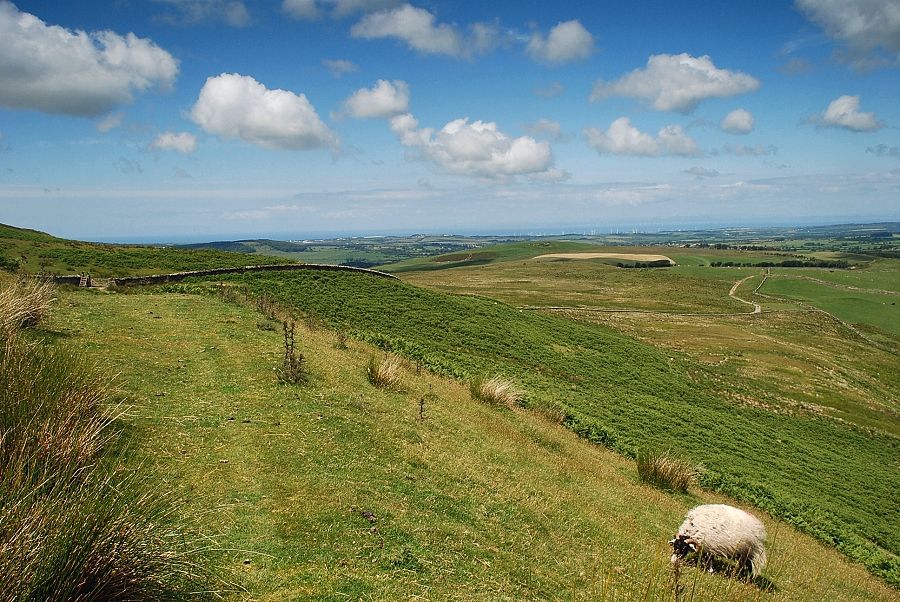
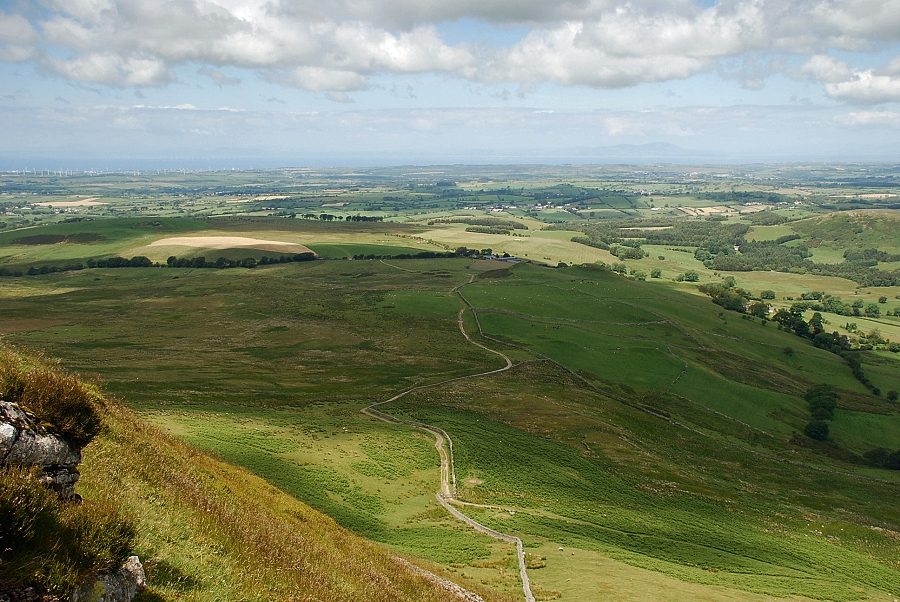
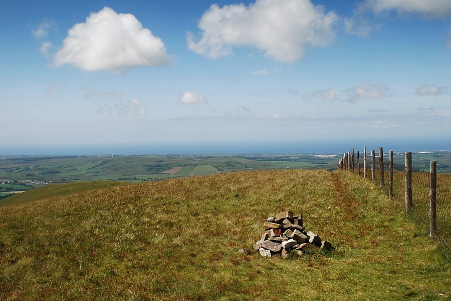
| Looking back to the coastal plain from the spoil heaps |
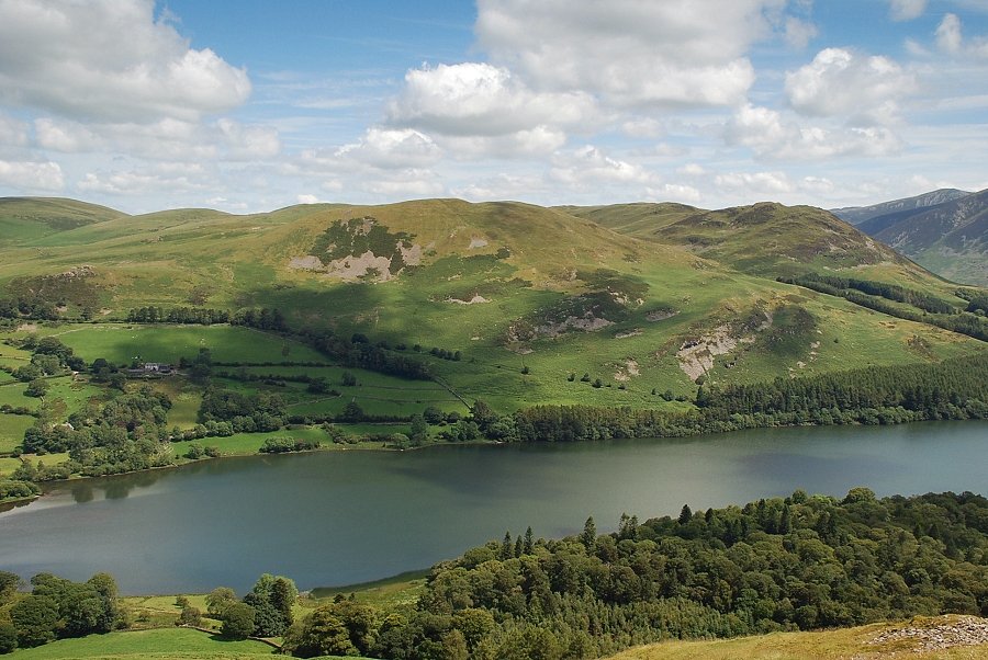 |
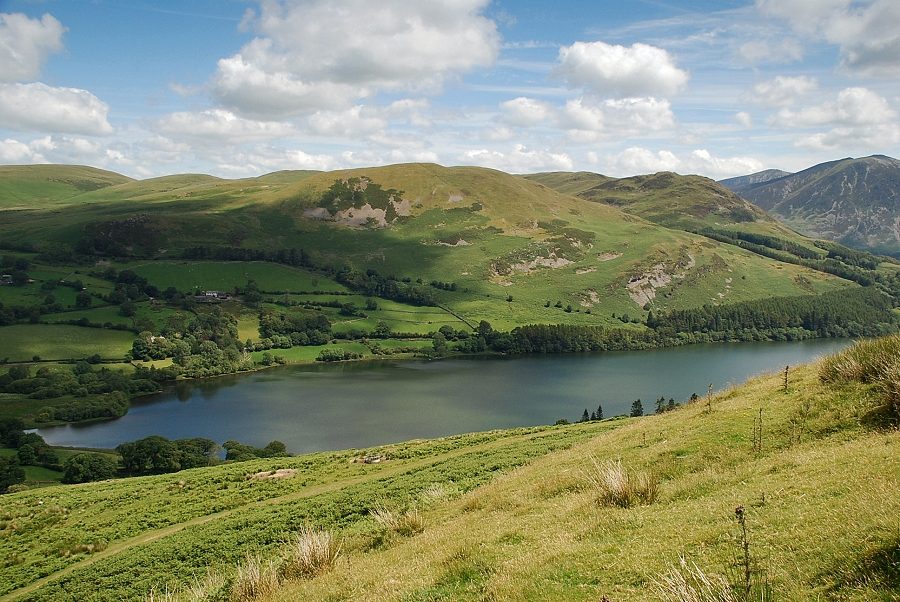
| Darling Fell and Low Fell across Loweswater with part of Holme Wood on the lower right |
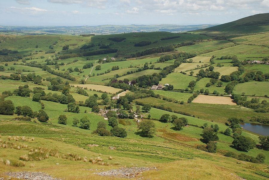 |
| Looking down to Hudson Place Farm |
 |
| Loweswater and Crummock Water from the top of the spoil heaps |
 |
| Above the spoil heaps is a fence leading up to a low crag in which AW noted that there is a blocked mine level. It's only a hundred feet climb from the stile but it seems much longer and is the steepest part of this ascent |
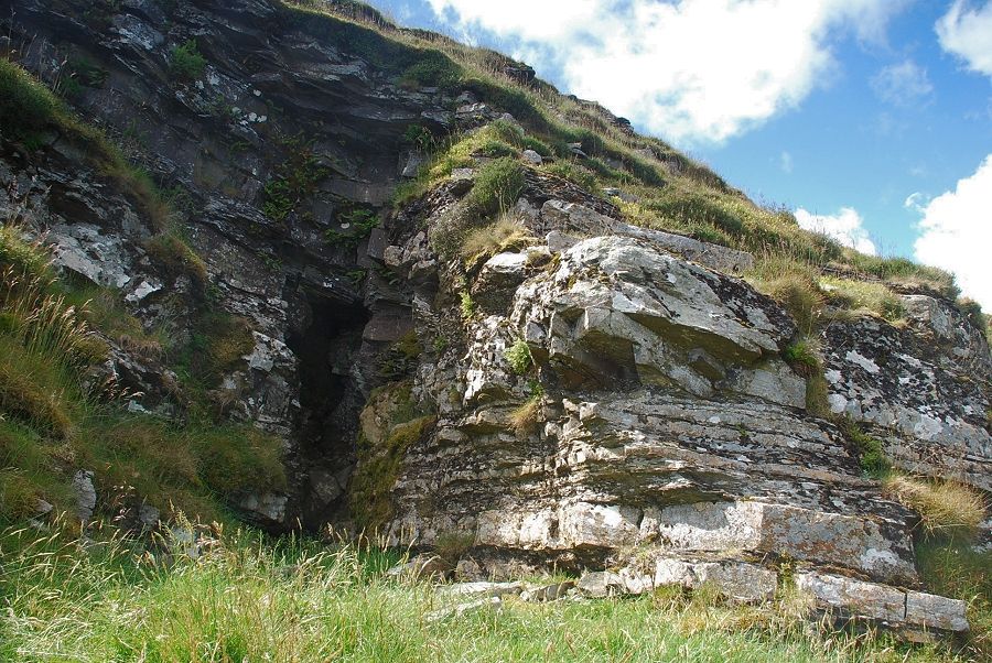 |
| The mine level just seems to be a natural feature in the rock face! |
 |
| Mine level or not, the grass platform below it provides a comfortable seat to have a rest and enjoy the view! |
 |
| Skiddaw appears in the distance over Low Fell |
 |
| Continue the ascent by following the fence for a short distance before cutting back above the low crag to the marker cairn on the north-east ridge |
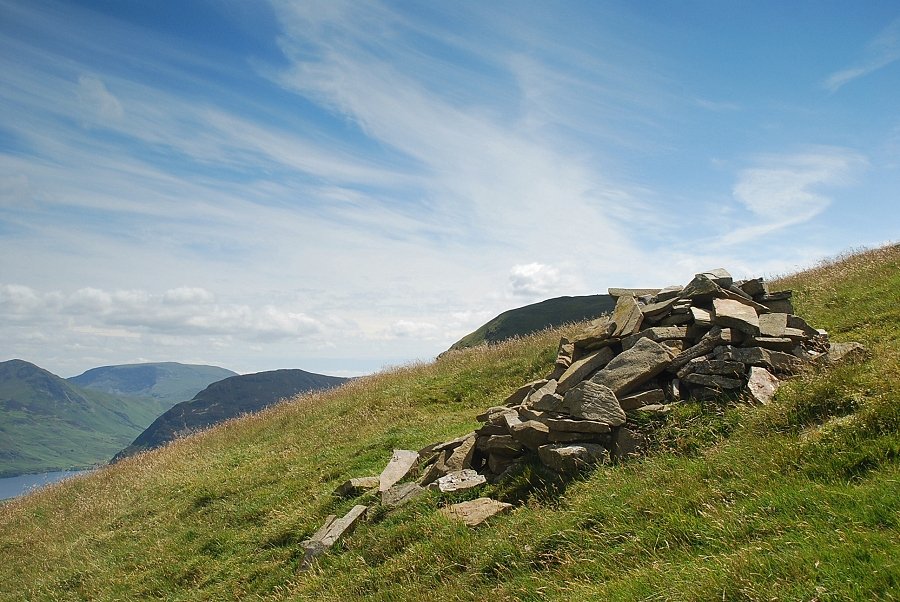 |
| The marker on the north-east ridge cairn. AW's sketch on page 5 in the original guide shows it as a neatly built column which he described as "of some antiquity", though now collapsed it occupies a fine position where the ascent path from the bridleway gate meets the north-east ridge |
 |
| Loweswater from the marker cairn on the north-east ridge |
 |
| Continuing on the path to the summit from the marker cairn Blake Fell comes into view on the left |
 |
| Looking over to the summit of Carling Knott |
 |
| Loweswater and Crummock Water from the north-east ridge |
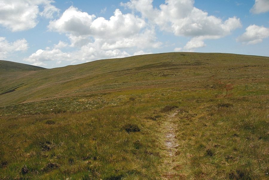 |
| The summit of Burnbank Fell comes into view |
 |
| The summit of Blake Fell above the valley of Holme Beck |
 |
| Approaching the summit of Burnbank Fell |
 |
| The summit cairn on Burnbank Fell |
 |
| Carling Knott from the summit of Burnbank Fell |
 |
| The connecting ridge to Blake Fell |
 |
| Looking to Sharp Knott and Knock Murton |
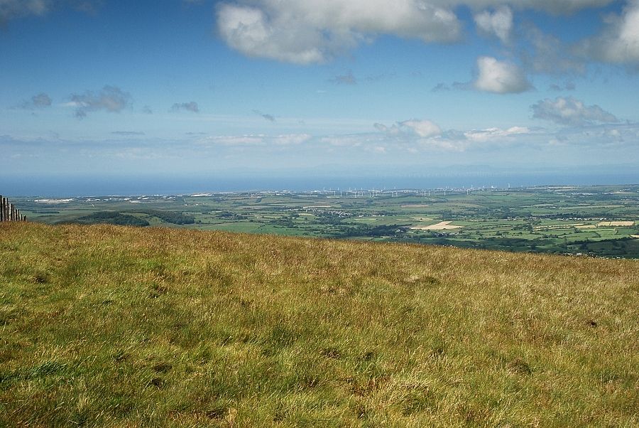 |
| The West Cumbria coast from the summit of Burnbank Fell |
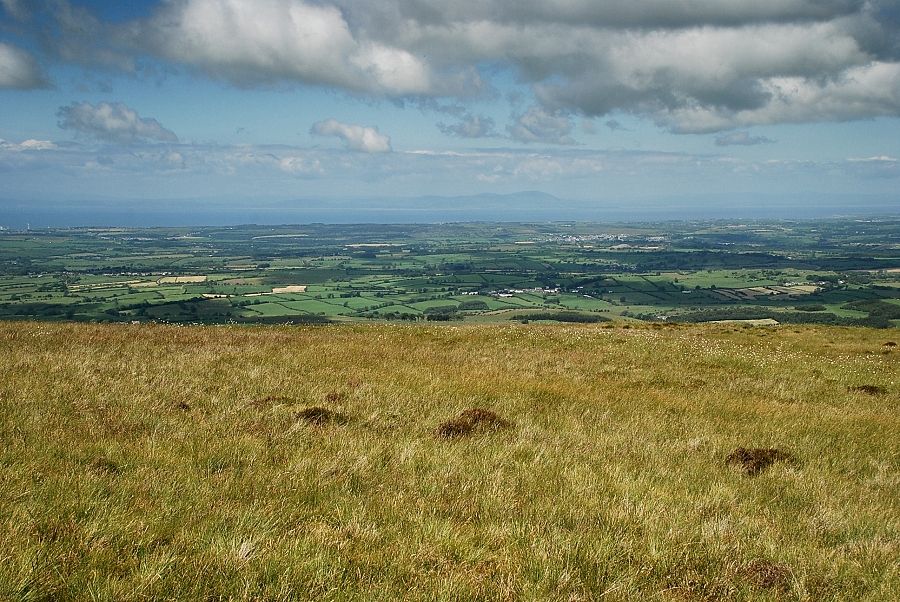 |
| Criffel across the Solway Firth |
 |
| A distant Binsey on the centre skyline |
 |
| Skiddaw on the right skyline |
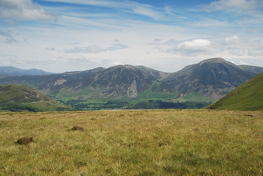 |
| Whiteside and Grasmoor from the summit of Burnbank Fell |
|