 |
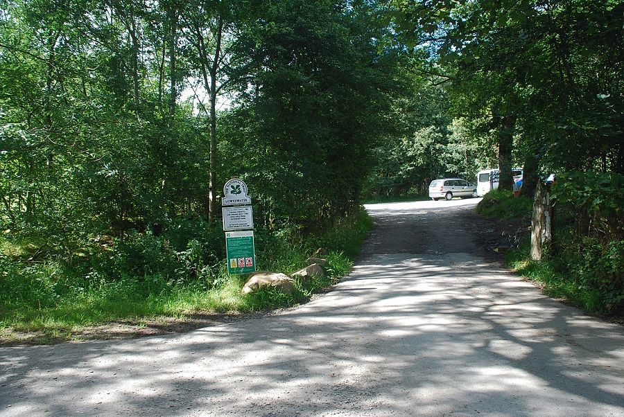
| The small National Trust car park at Maggie's Bridge is the starting point for this walk |
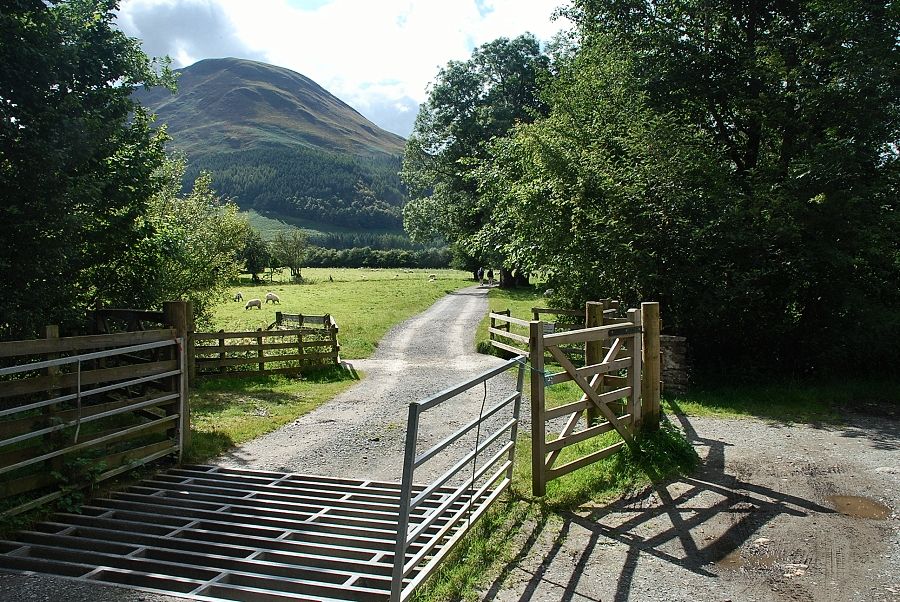 |
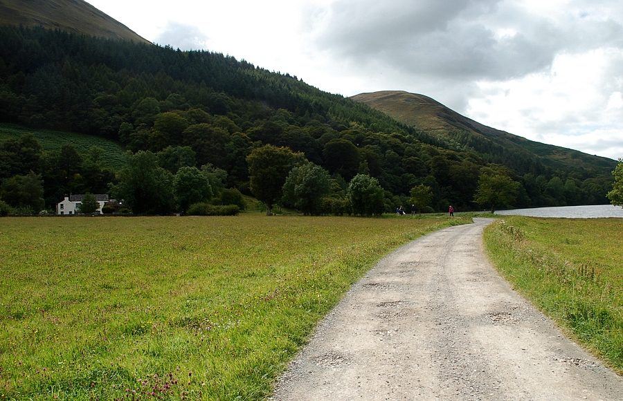
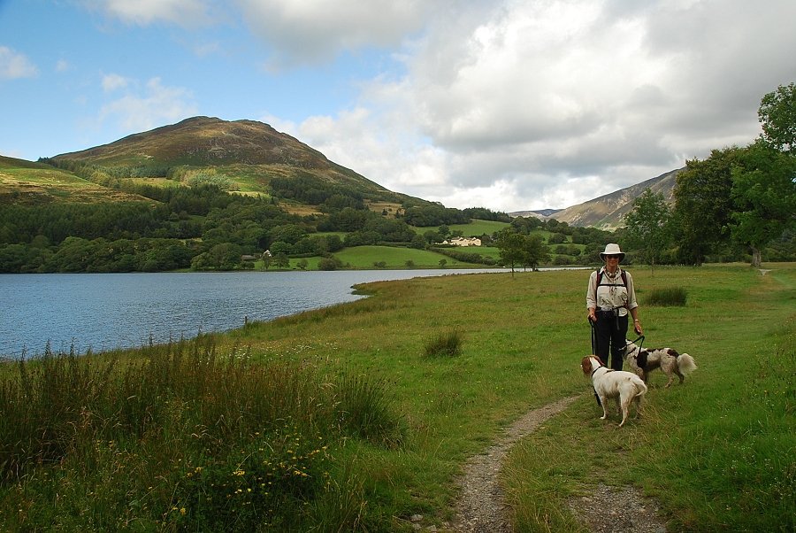
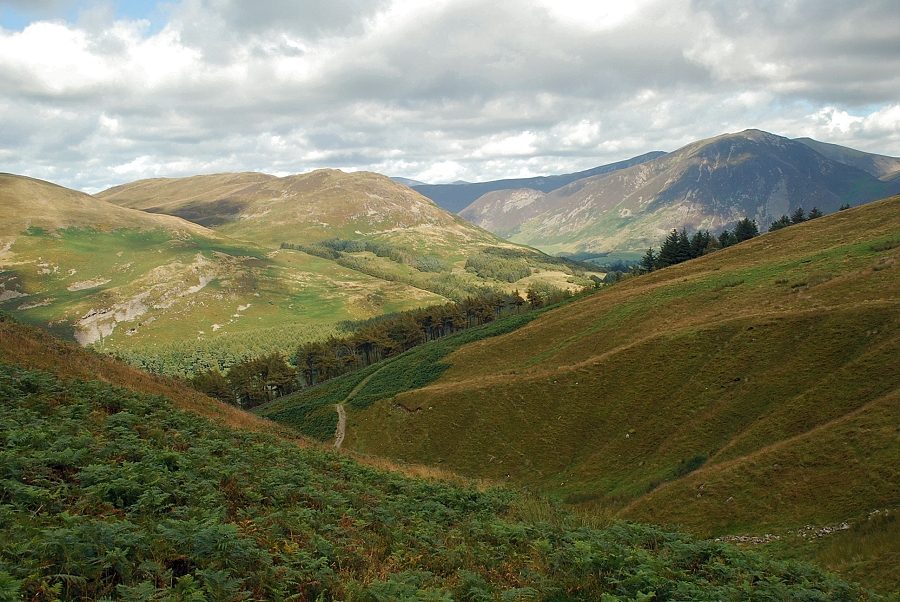
| An unenclosed access track leads from the car park to Watergate Farm and continues on from there along the southern shore of Loweswater |
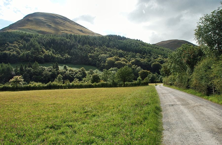 |
| Carling Knott on the left and Burnbank Fell on the right from the access track |
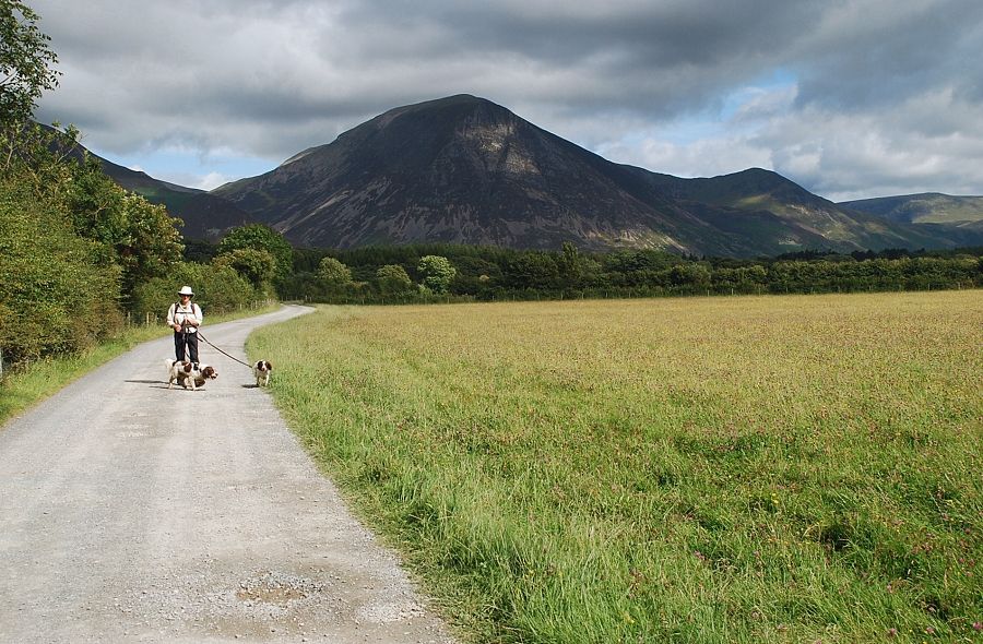 |
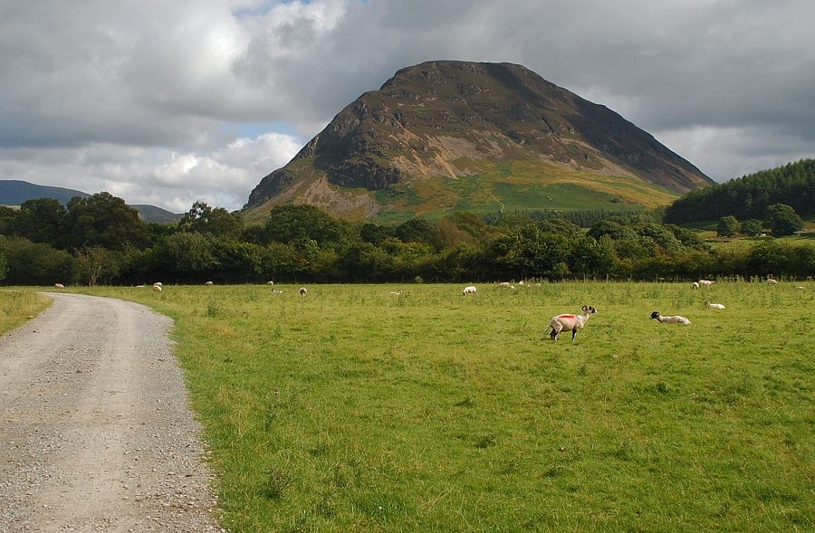
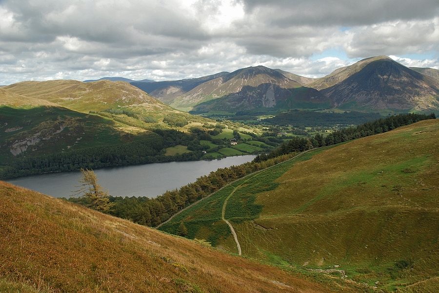
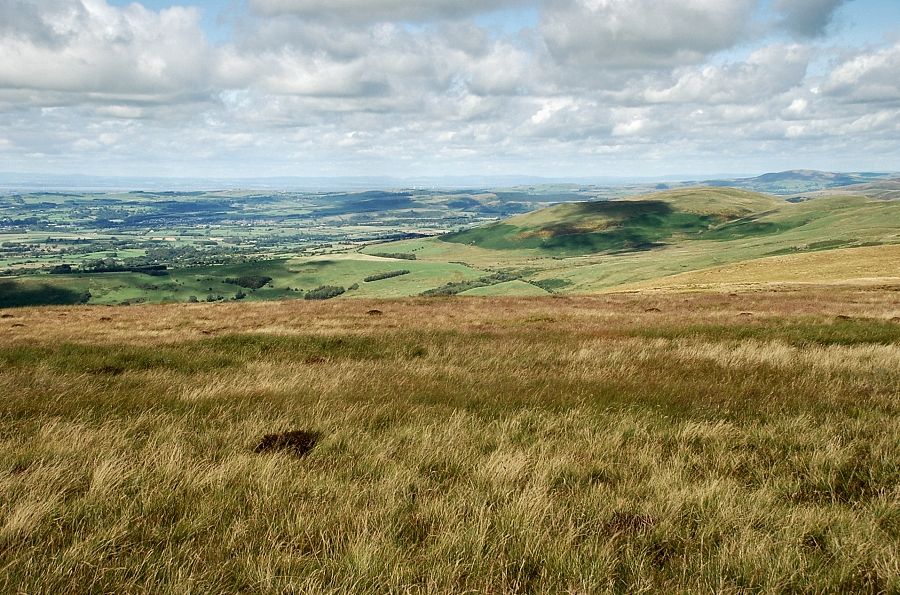
| Looking back to Grasmoor and Whiteless Pike |
 |
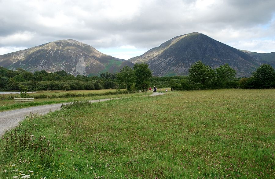
| Looking back to Mellbreak from the access track to Watergate Farm |
 |
| Approaching the shore of Loweswater and Holme Wood. A footpath avoids Watergate Farm, seen here on the left, by crossing the open field to rejoin the track as it enters Holme Wood |
 |
| Looking back to Whiteside and Grasmoor |
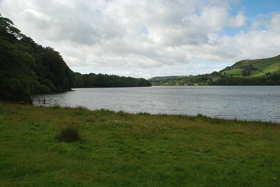 |
| Loweswater from the field path |
 |
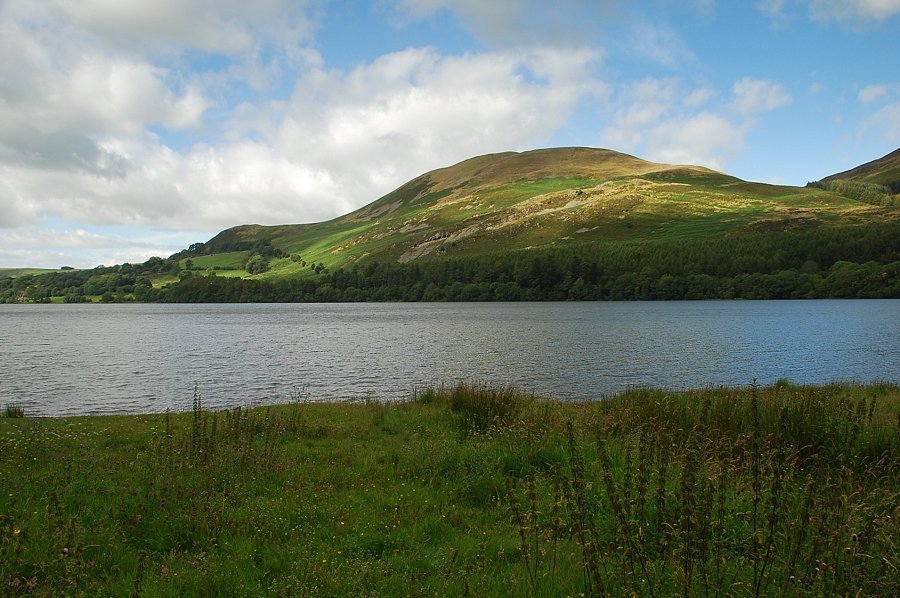
| Low Fell across Loweswater |
 |
| Darling Fell across Loweswater |
 |
| Rejoining the track as it enters Holme Wood |
 |
| Darling Fell and Low Fell from Holme Wood |
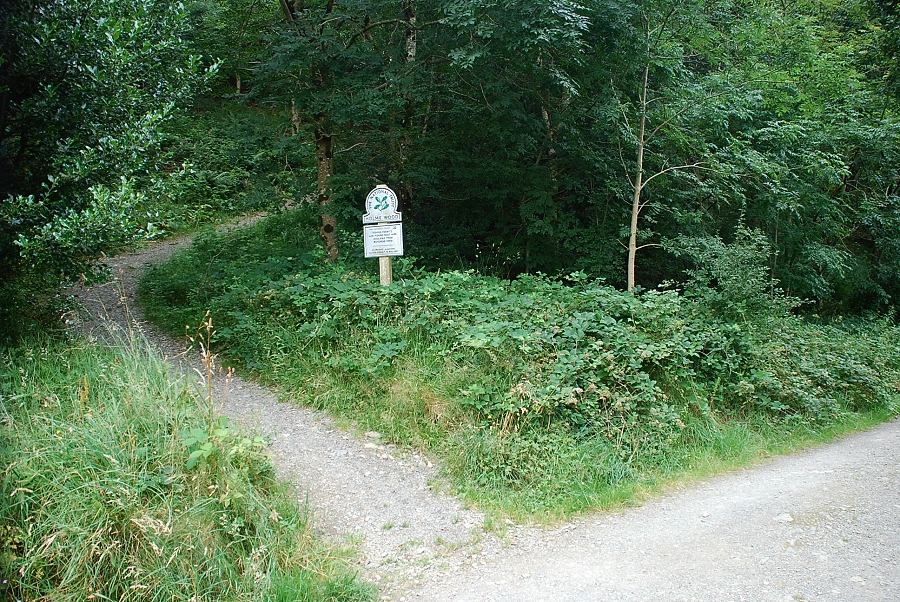 |
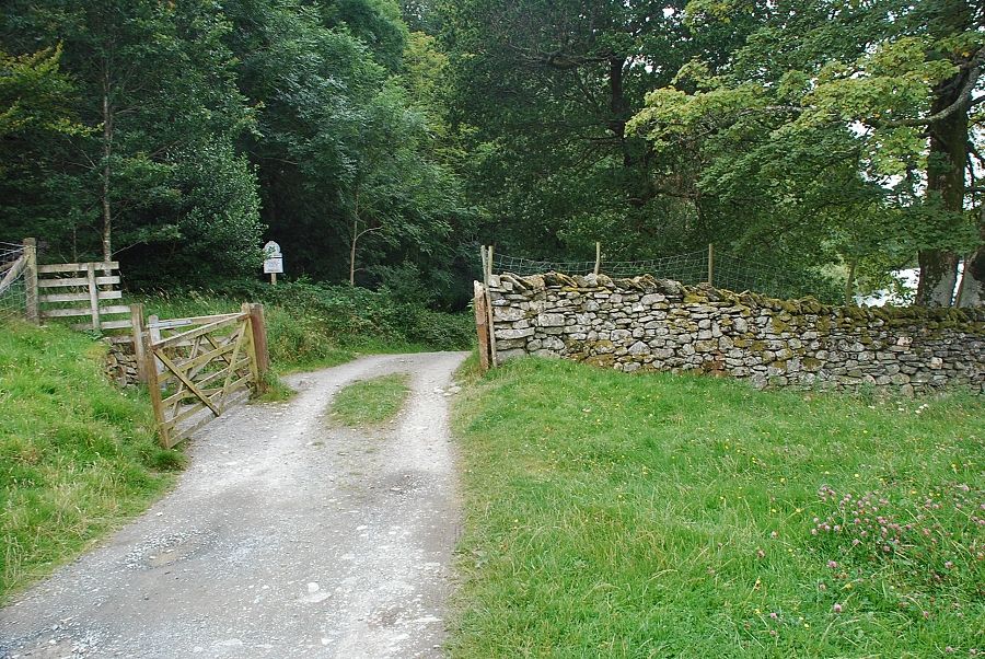
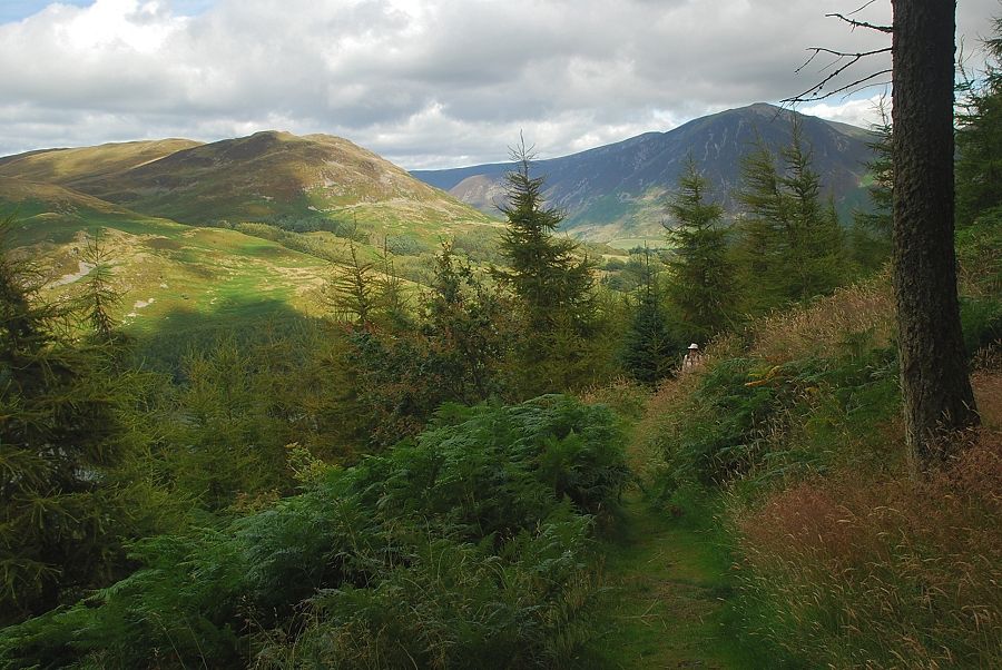
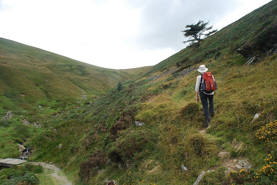
| The main track continues on beside Loweswater. Immediately beyond the gate a National Trust sign indicates the start of a path which rises steeply, taking a long diagonal line through the wood |
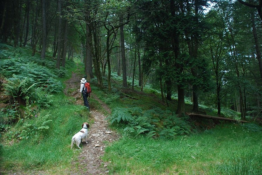 |
| The path through Holme Wood crosses over three intervening forest tracks |
 |
| Darling Fell from Holme Wood |
 |
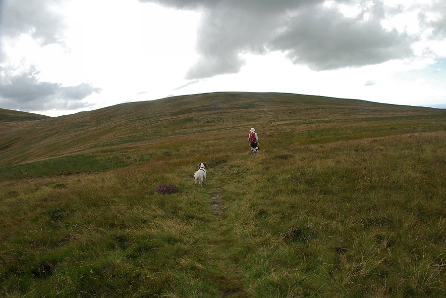
| Higher on the path the slopes of Burnbank Fell come into view |
 |
| Looking back to Low Fell and Whiteside |
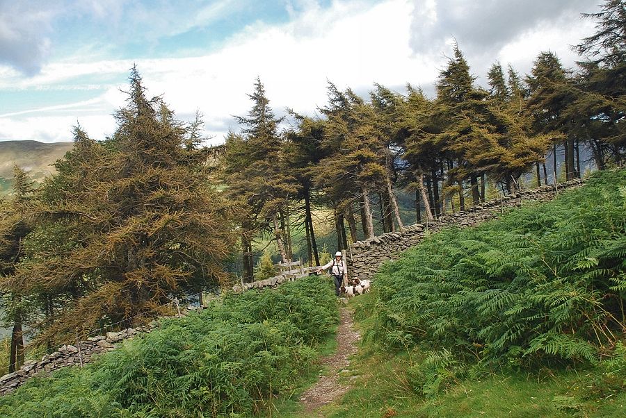 |
| The path emerges from the wood at a gate in the intake wall and joins the terrace path which runs along the slopes of Carling Knott and Burnbank Fell |
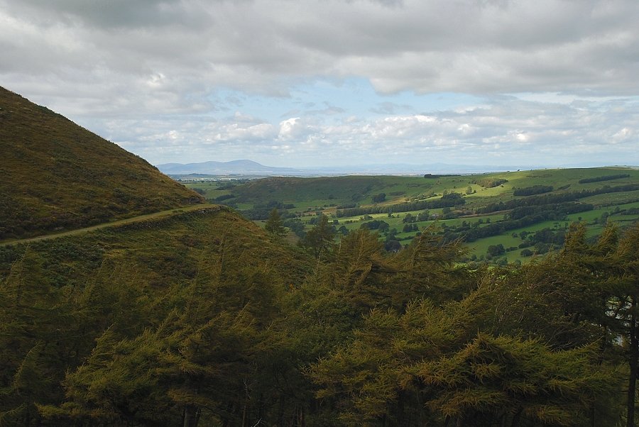 |
| Criffel from the terrace path |
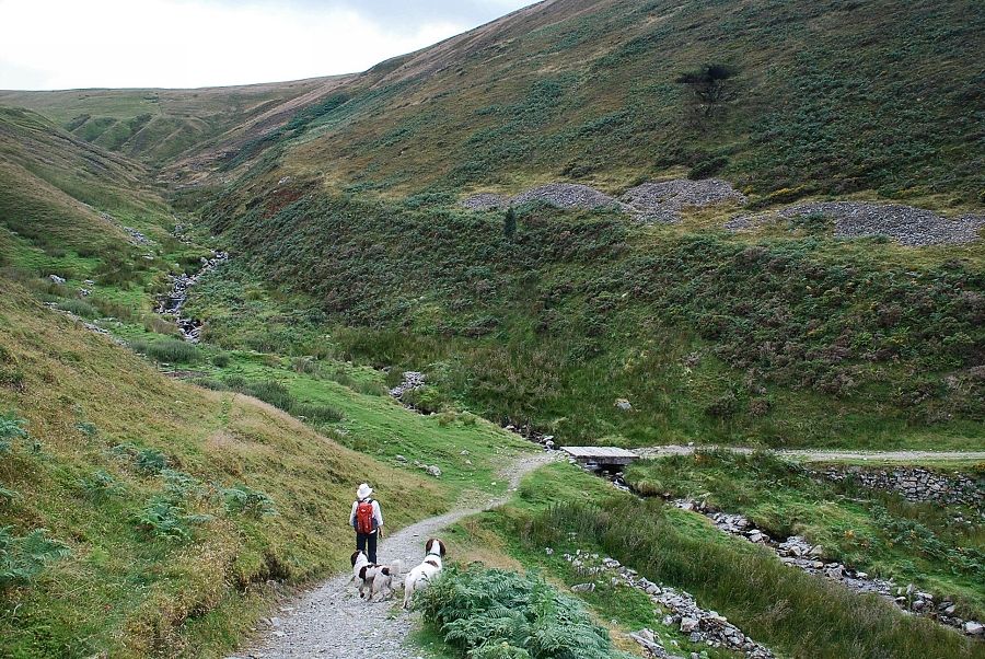 |
| The terrace path descends and crosses a footbridge over Holme Beck |
 |
| We leave the terrace path for a indistinct path on the northern side of Holme Beck |
 |
| Low Fell and Whiteside from the path above Holme Beck |
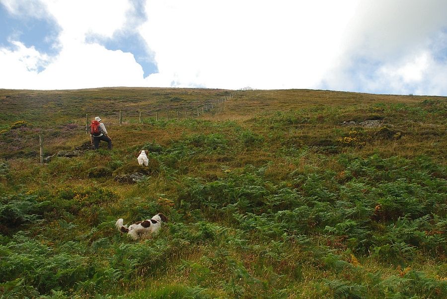 |
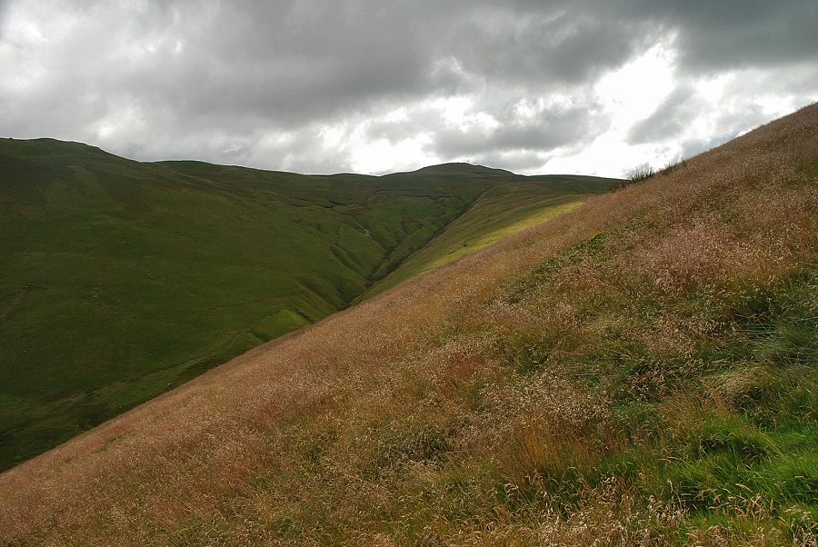
| After a few hundred yards the path turns away from Holme Beck to follow a fence which crosses the north-east ridge of Burnbank Fell |
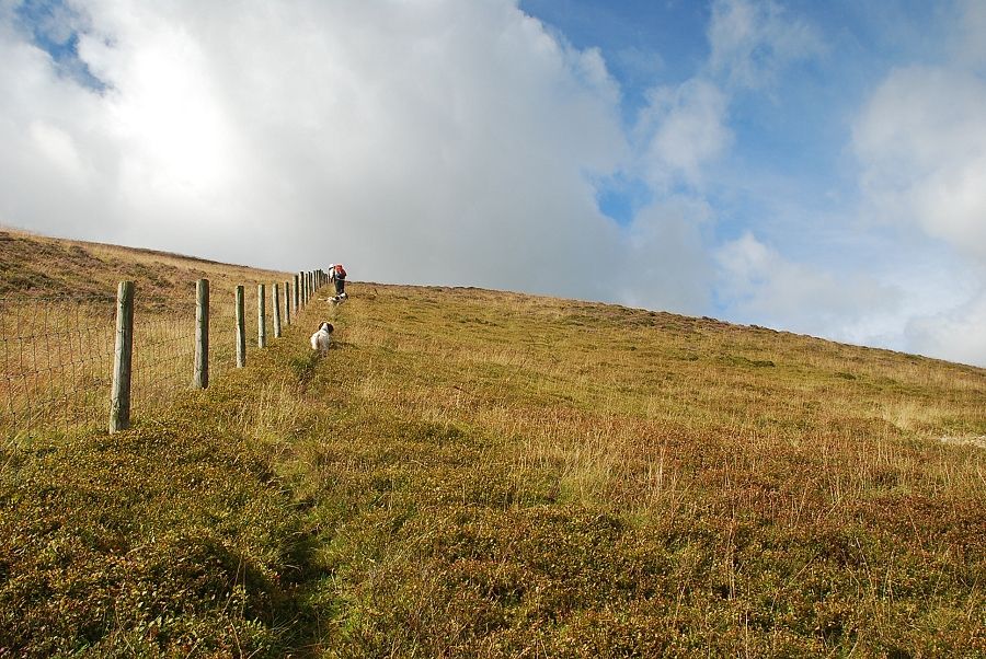 |
| The fence is followed to its highest point on the ridge line where it is crossed at a straining post |
 |
| Loweswater from the path by the fence |
 |
| Looking left to the summit of Blake Fell at the head of the Holme Beck valley |
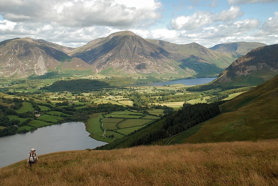 |
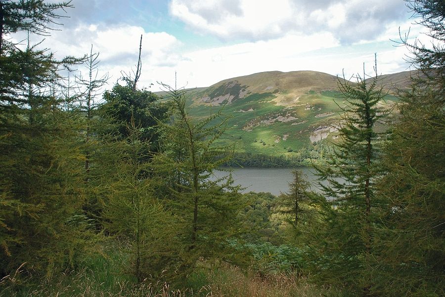
| Loweswater and Crummock Water from the end of Burnbank Fell's north-east ridge |
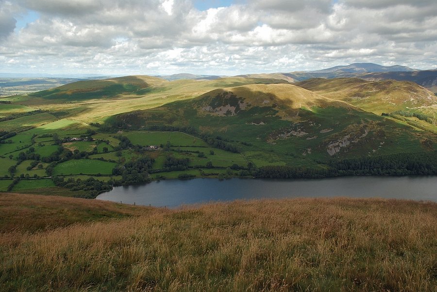 |
| Fellbarrow, Darling Fell and Low Fell across Loweswater from the end of the north-east ridge, Skiddaw appears on the horizon on the right |
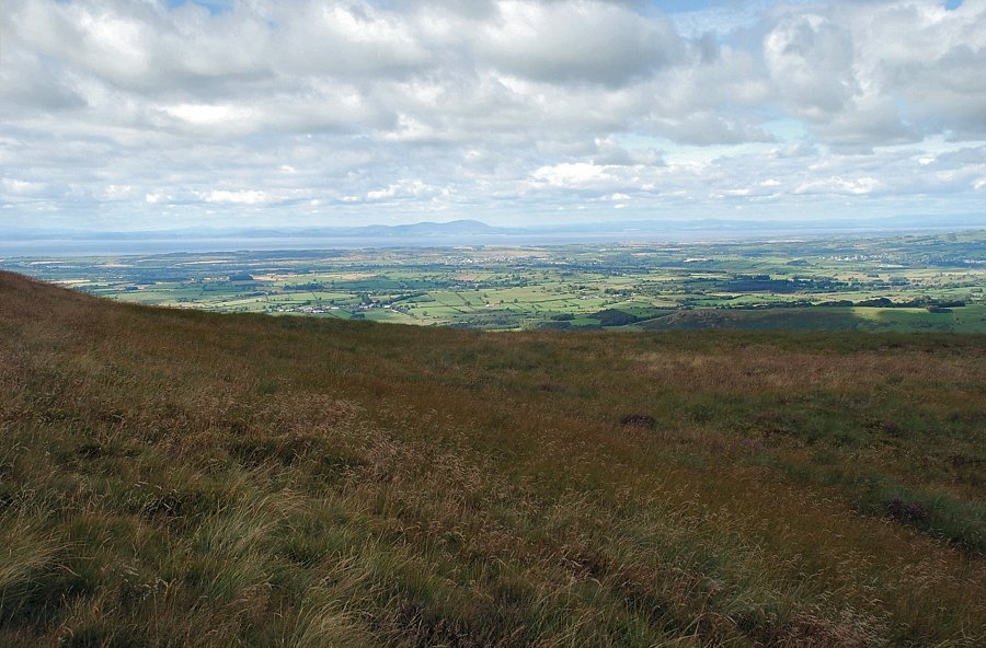 |
| Criffel across the Solway Firth from the north-east ridge of Burnbank Fell |
 |
| Blake Fell from the north-east ridge of Burnbank Fell |
 |
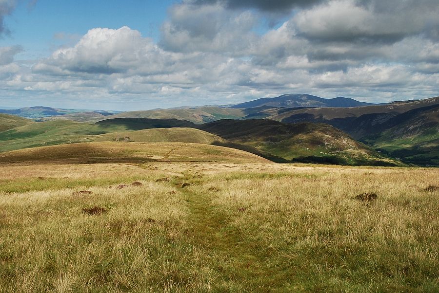
| Crummock Water from the north-west ridge |
 |
| Looking back as we join a much clearer path which comes up from the terrace path to the north-west of Holme Wood |
 |
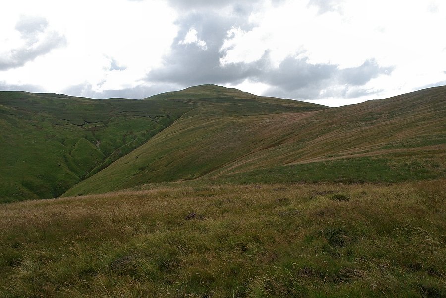
| The final slope leading to the summit of Burnbank Fell |
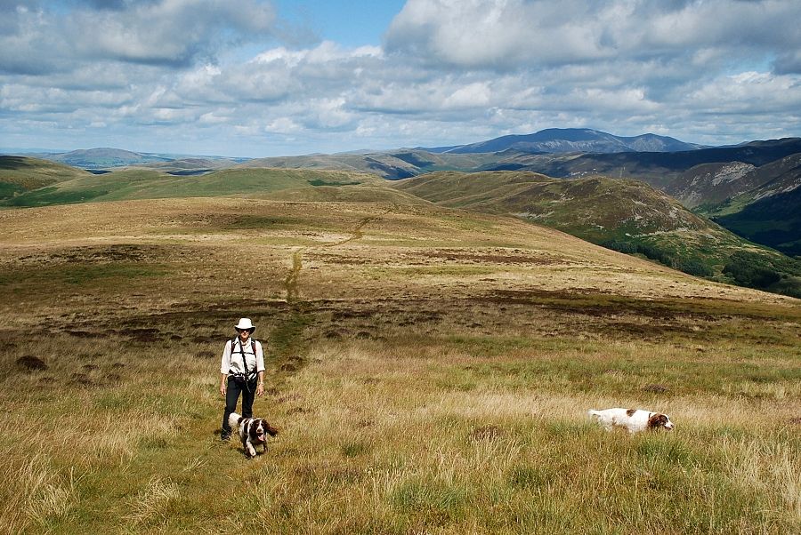 |
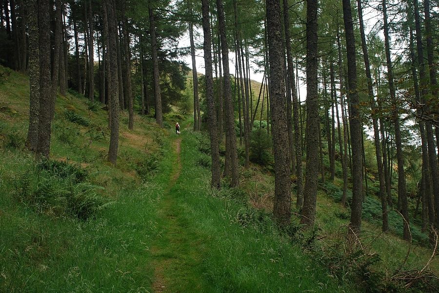
| Looking back along the broad north-east ridge as we approach the summit |
 |
| Grasmoor and a glimpse of Crummock Water across the slopes of Carling Knott, the lake is not visible from the actual summit of Burnbank Fell |
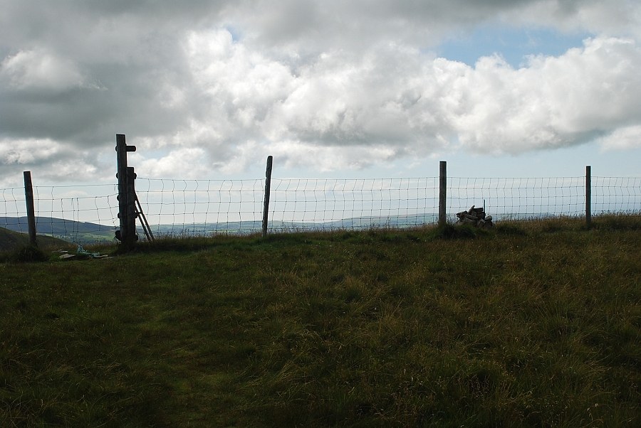 |
| The summit of Burnbank Fell |
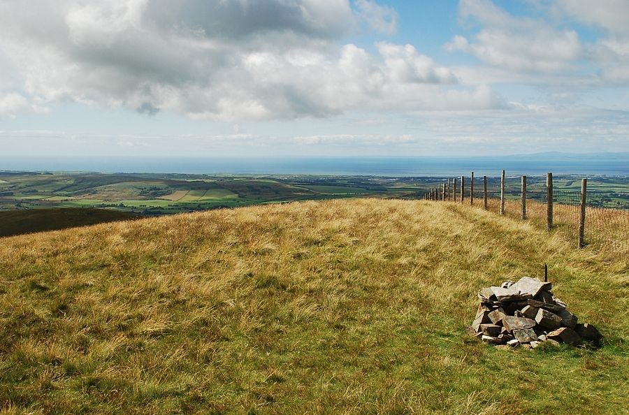 |
| The summit cairn on Burnbank Fell |
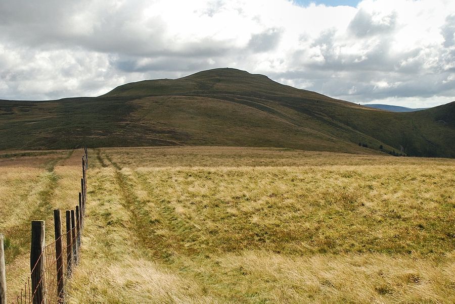 |
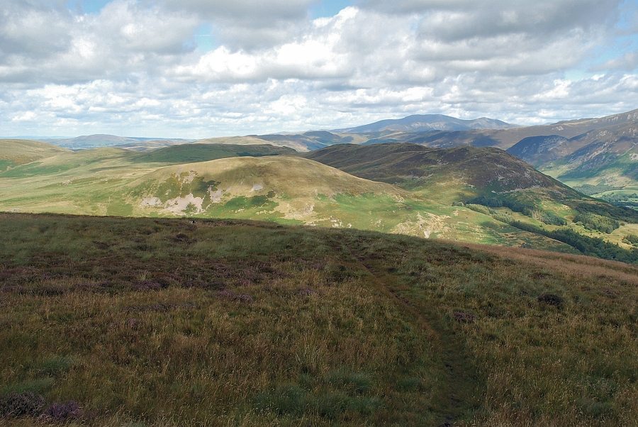
| The connecting ridge to Blake Fell, the highest of the Loweswater group of fells |
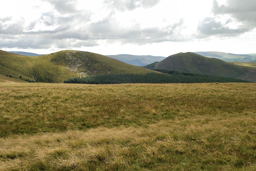 |
| Sharp Knott and Knock Murton |
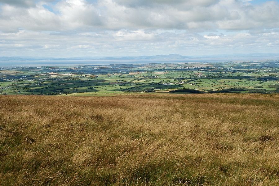 |
| Criffel and the Scottish coast across the Solway Firth |
 |
| Fellbarrow in the middle distance |
 |
| Looking back along the north-east ridge, Skiddaw on the centre right horizon |
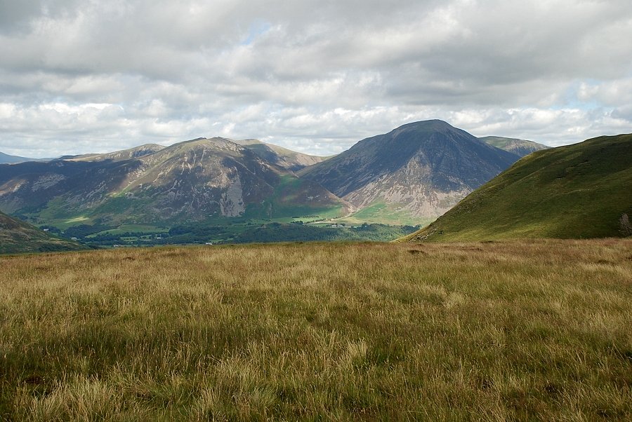 |
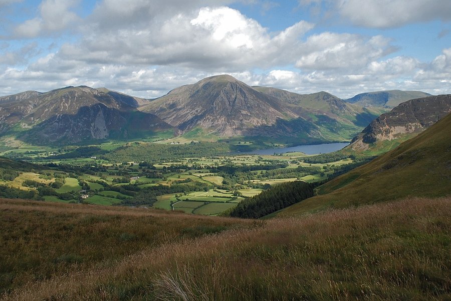
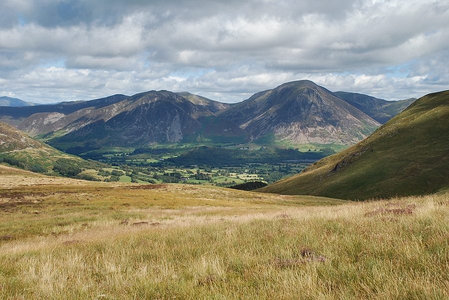
| Whiteside and Grasmoor from the summit of Burnbank Fell |
