
Burney - Route One |
| Start - Gawthwaite Moor SD 262 848 | Distance - 0.75 mile | Ascent - 380 feet | Time - 30 minutes |
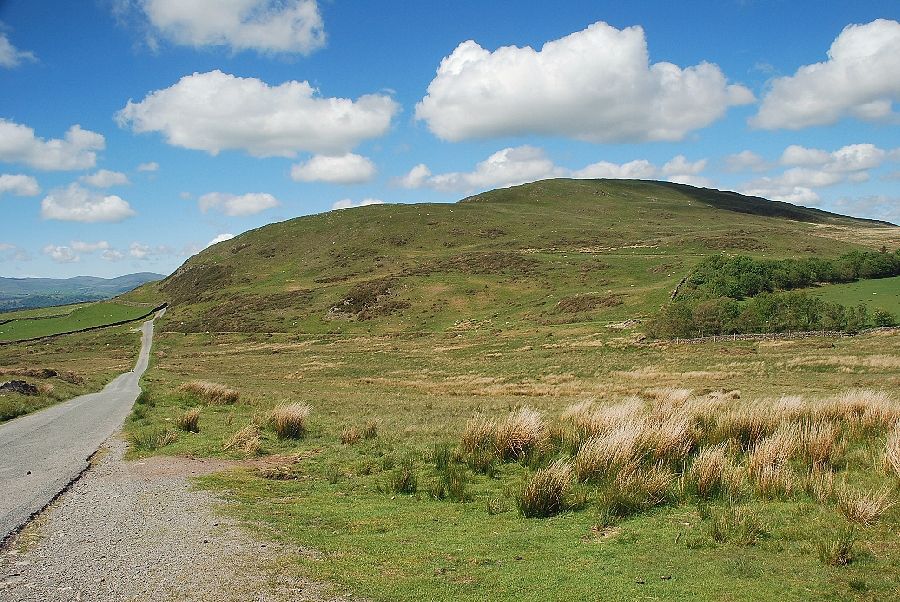 |
| The south ridge of Burney from the Woodland road junction with the A5092. Because of its ease of access Burney is a favourite venue for paragliders |
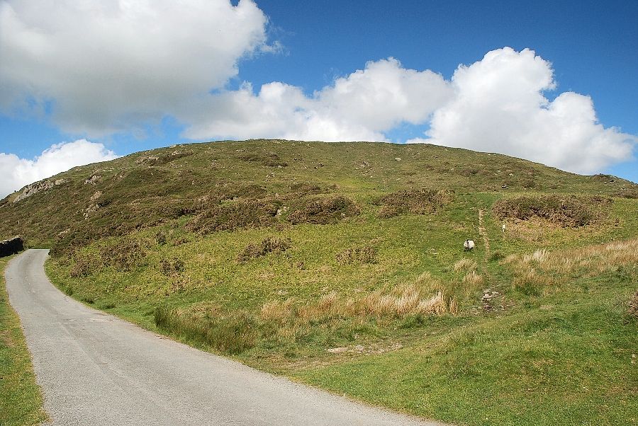 |
| A quarter of a mile from the junction a narrow path heads straight up the south ridge of Burney. There is a small layby near the start of the path which has an unofficial 'No Parking' sign next to it. Most people seem to ignore the sign, which is in a decrepit state, and park there anyway. The south ridge of Burney rises in three distinct grassy steps which lead directly to the summit trig column, the lower step is the steepest part of the whole ascent |
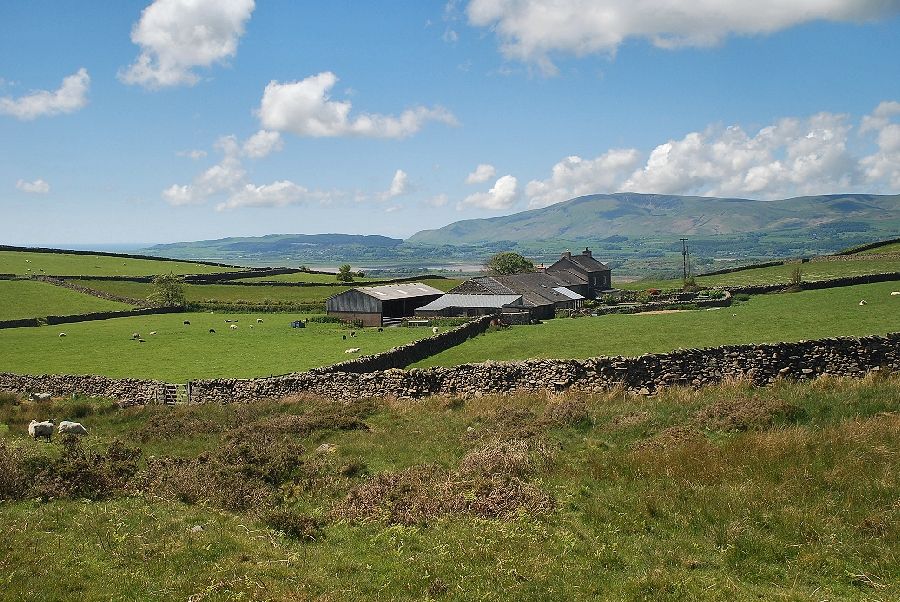 |
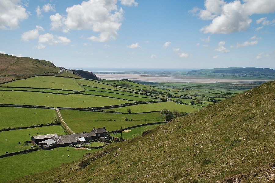
| Moor House farm from the start of the path |
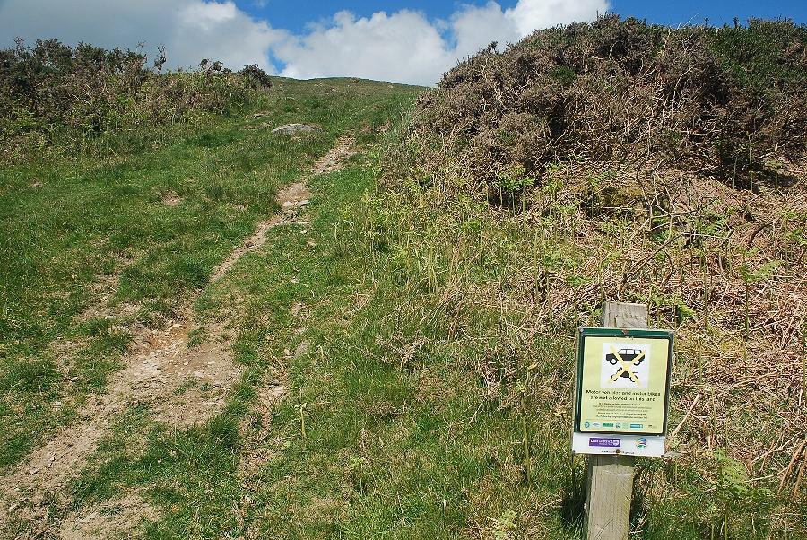 |
| There does appear to be a problem with the illegal use of motor vehicles on the fellside as is evident by this more official sign on the path |
 |
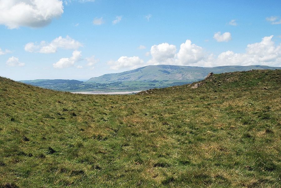
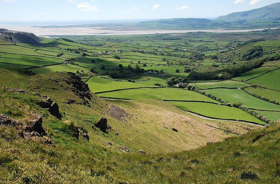
| Looking across towards the Duddon Estuary |
 |
| Looking back from the lower slopes, the 'no parking' layby can be seen at the foot of the slope |
 |
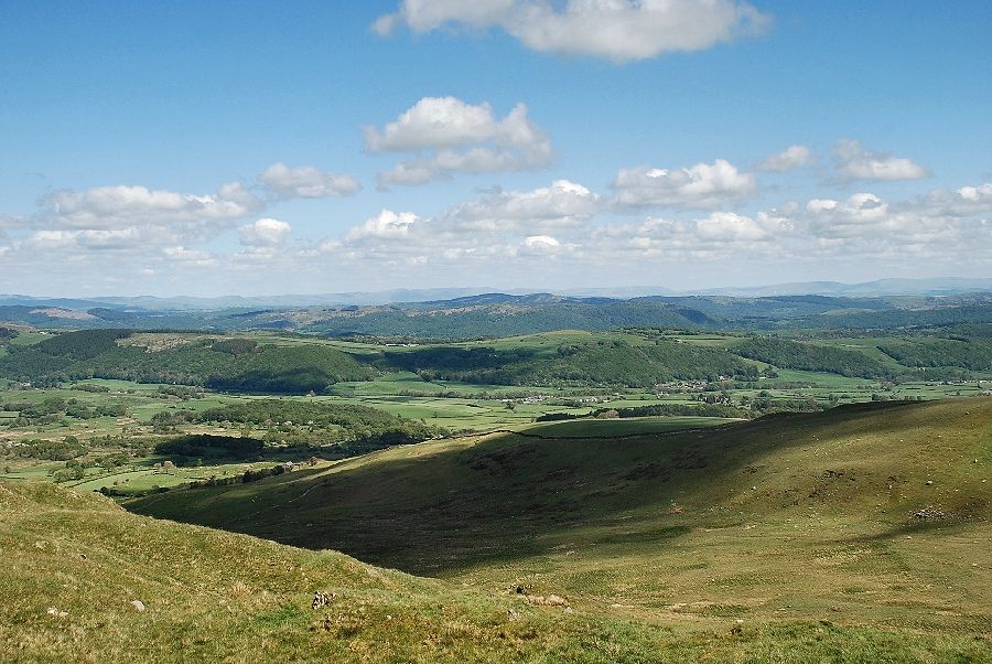
| Looking north west from the top of the first step to the Dunnerdale fells in the middle distance |
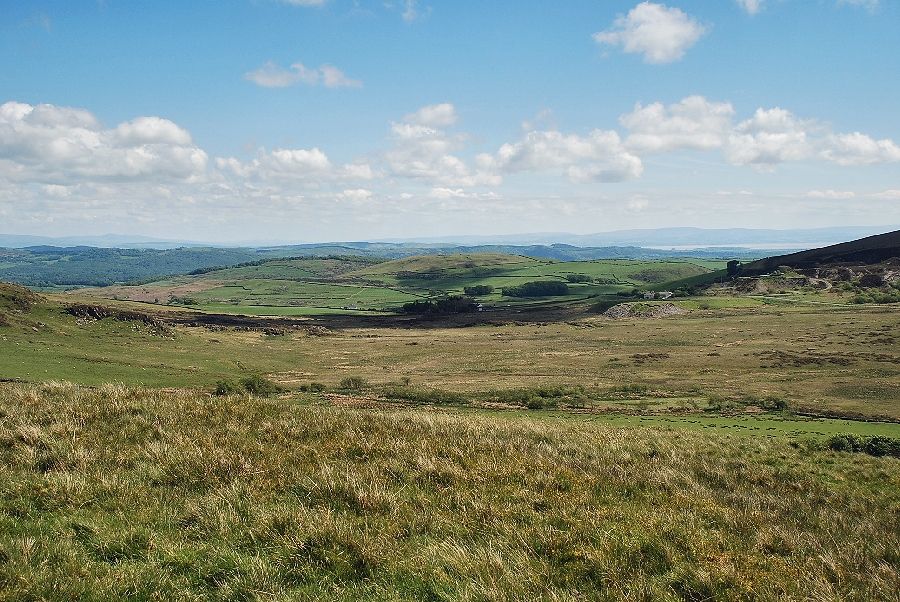 |
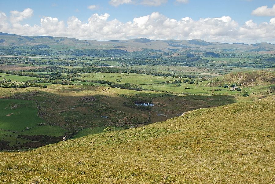
| Looking south east over Gawthwaite Moss |
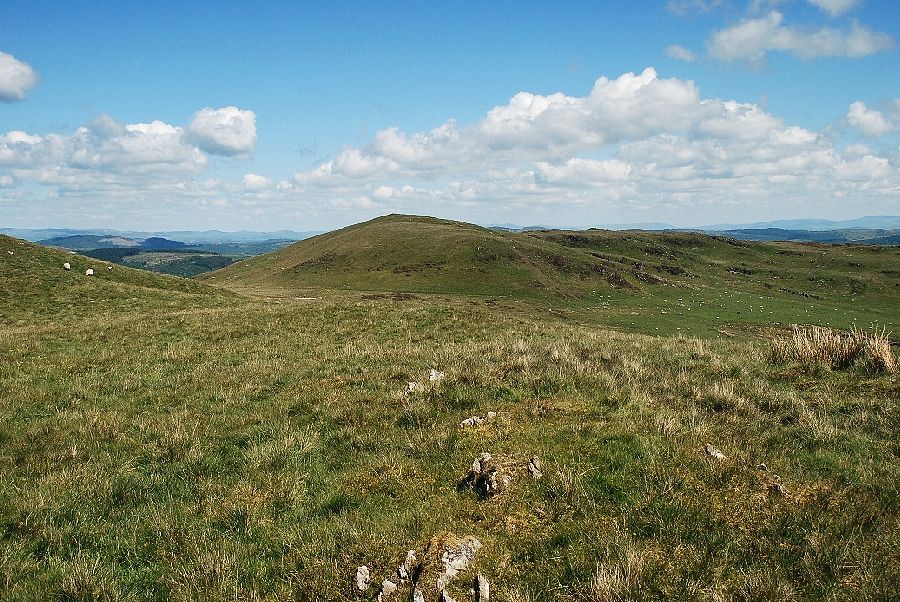 |
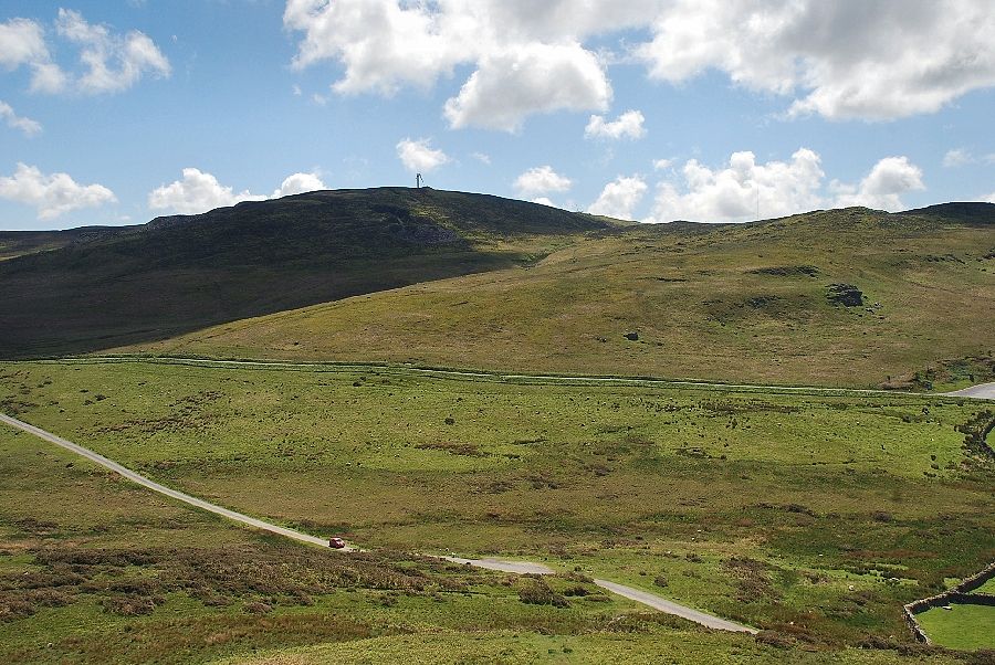
| Looking west towards the summit of Combs on Gawthwaite Moor |
 |
| Continuing on towards the second step on the south ridge |
 |
| Looking across to Black Combe |
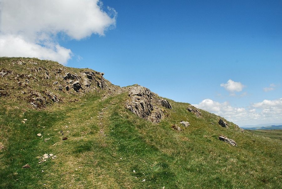 |
| The path surmounts a rock outcrop below the top of the second step, the only one encountered on the south ridge although there are numerous and larger outcrops around the steep comb on the western side of the fell |
 |
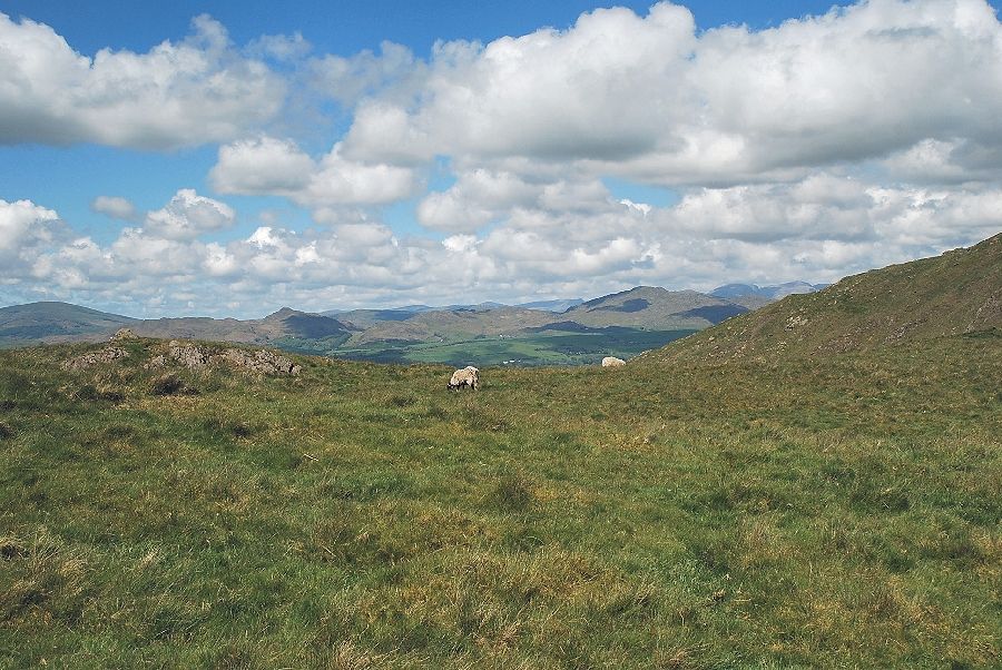
| Looking north west to the Wainwright Outlying Fells of Buck Barrow, Burn Moor, Whit Fell, Stainton Pike, Yoadcastle, Hesk Fell and Stickle Pike |
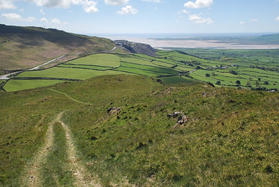 |
| Looking back to the Duddon Estuary |
 |
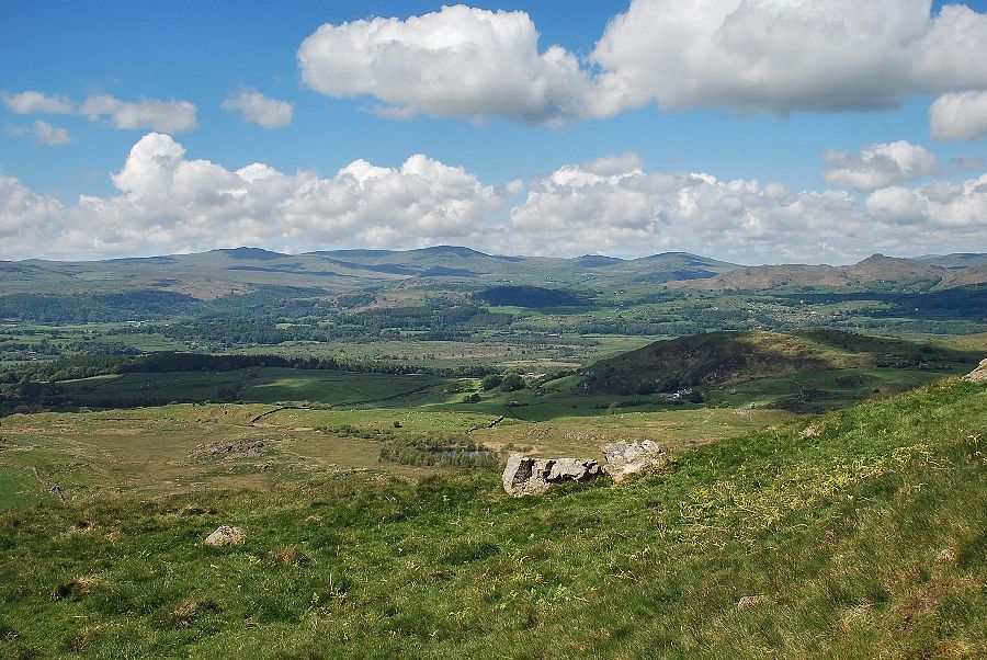
| Looking down on Burney Tarn from the top of the second step |
 |
| Continuing on towards the third step and the summit ridge of Burney |
 |
| Looking down on the west comb |
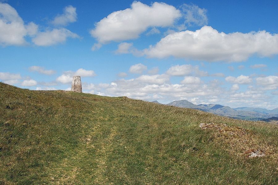 |
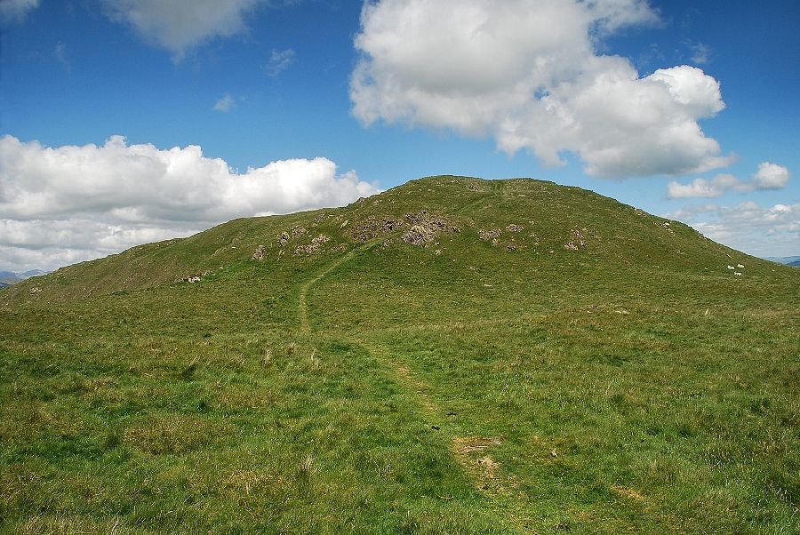
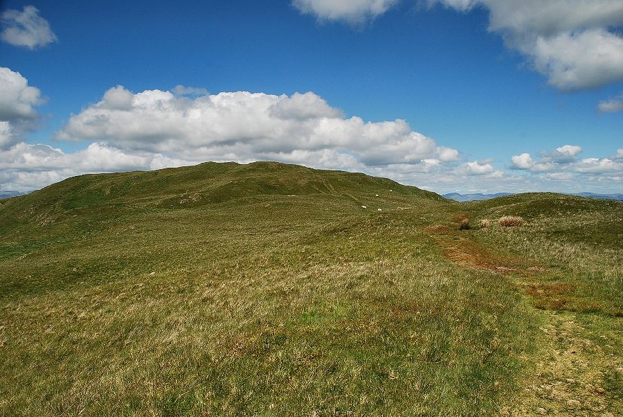
| Approaching the summit of Burney |
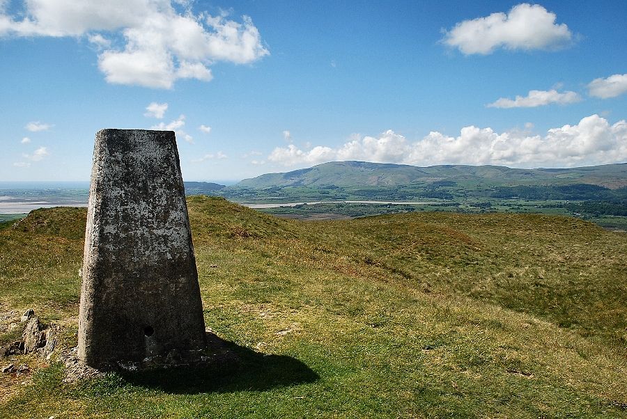 |
| The trig column on the summit of Burney |
 |
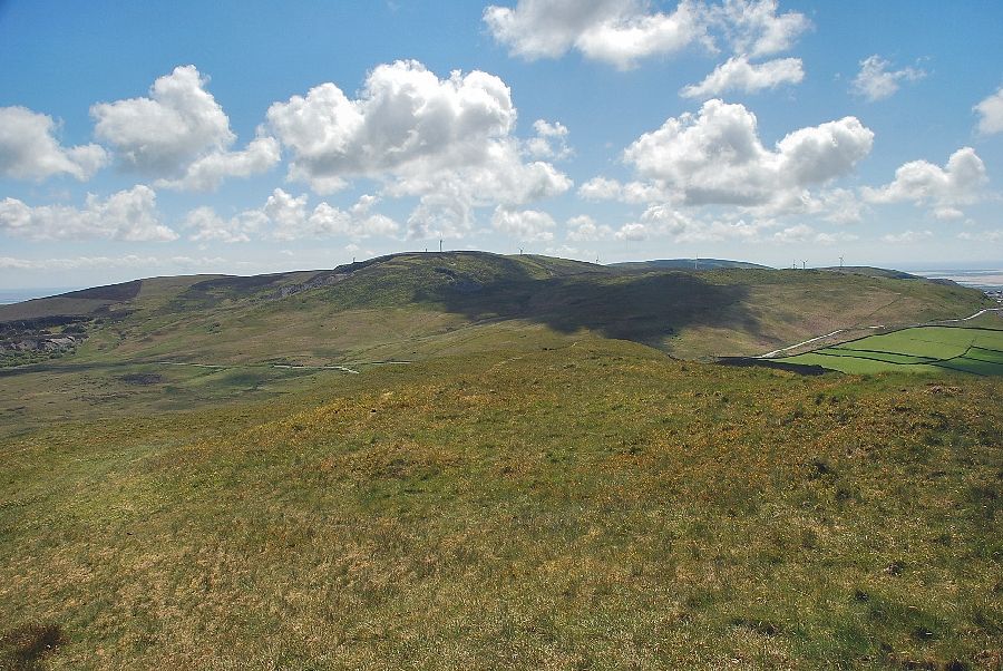
| The summit is named Great Burney on the OS map to distinguish it from Little Burney which is a minor top on the long northern ridge of the fell, seen here centre right in the photo |
 |
| Looking east across the Crake Valley from the summit of Burney |
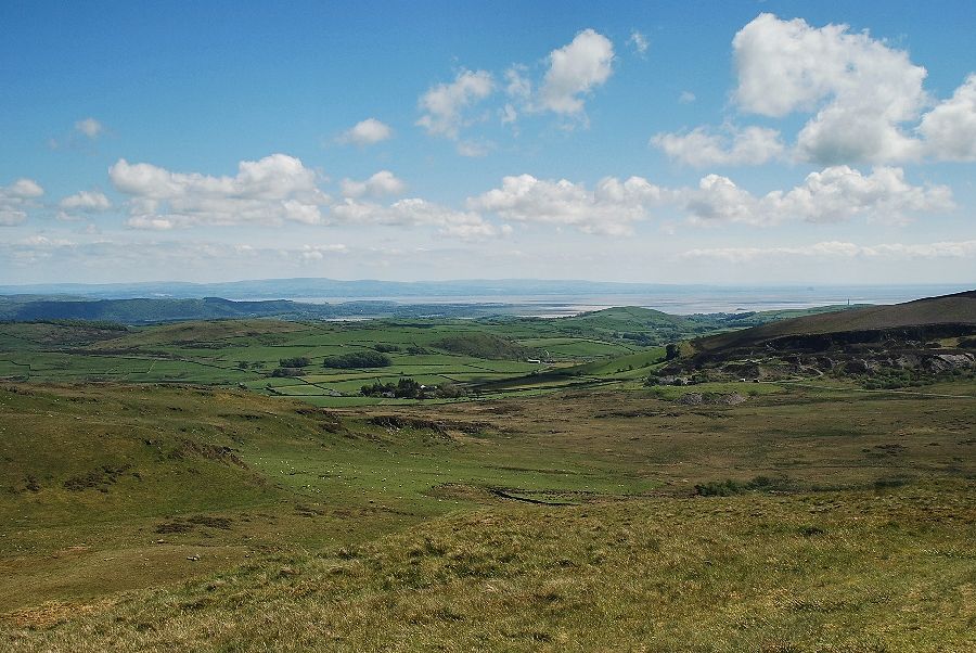 |
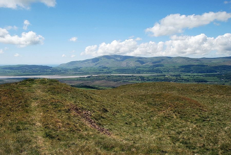
| Looking south east towards Morecambe Bay |
 |
| Kirkby Moor from the summit of Burney |
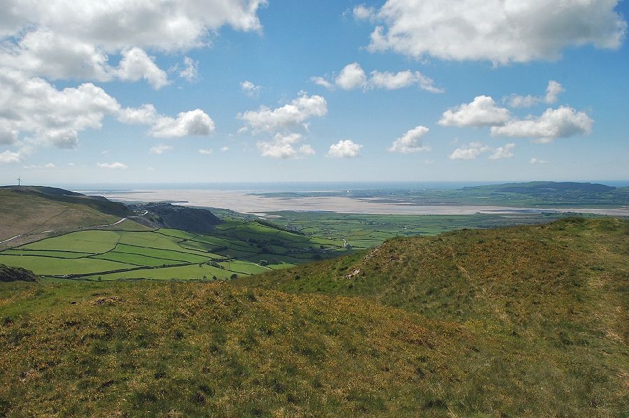 |
| The Duddon Estuary from the summit of Burney |
 |
| To the west, Black Combe and White Combe |
 |
| Looking north west, Buck Barrow, Burn Moor, Whit Fell, Stainton Pike, Yoadcastle, and Hesk Fell |
 |
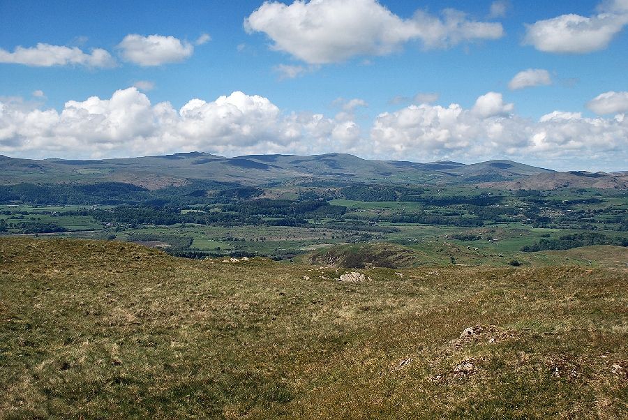
| The Dunnerdale Fells with the Scafell range on the distant right |
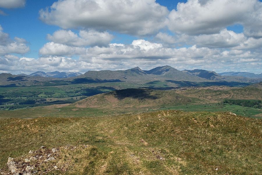 |
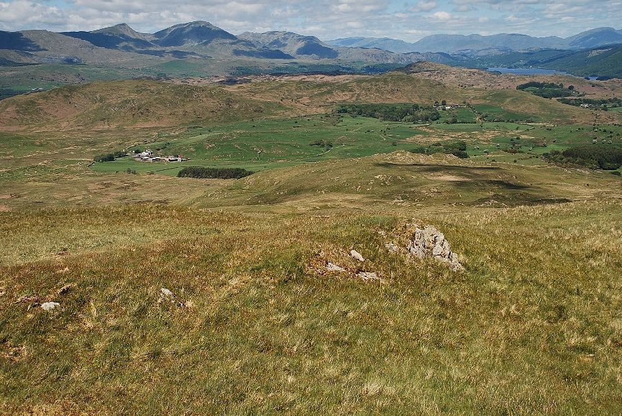
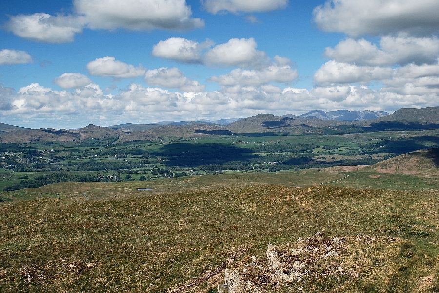
| The Coniston fells from the summit of Burney |
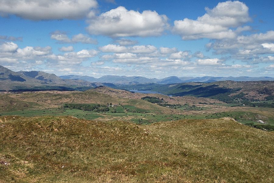 |
| Coniston Water from the summit of Burney |
|