
| Carron Crag - Route One |
| Start - Dodgson Wood SD 299 927 | Distance - 3.5 miles | Ascent - 1,180 feet | Time - 1 hour : 55 minutes |
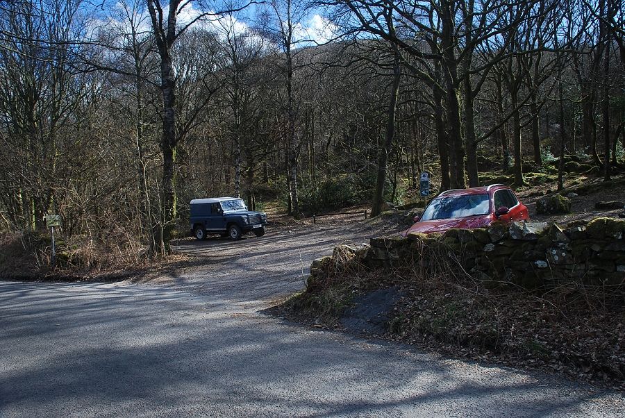 |
| The National Trust car park in Dodgson Wood on the eastern side of Coniston Water is the starting point for this walk |
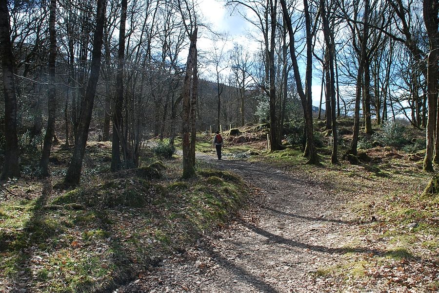 |
| A broad track leaves the back of the car park |
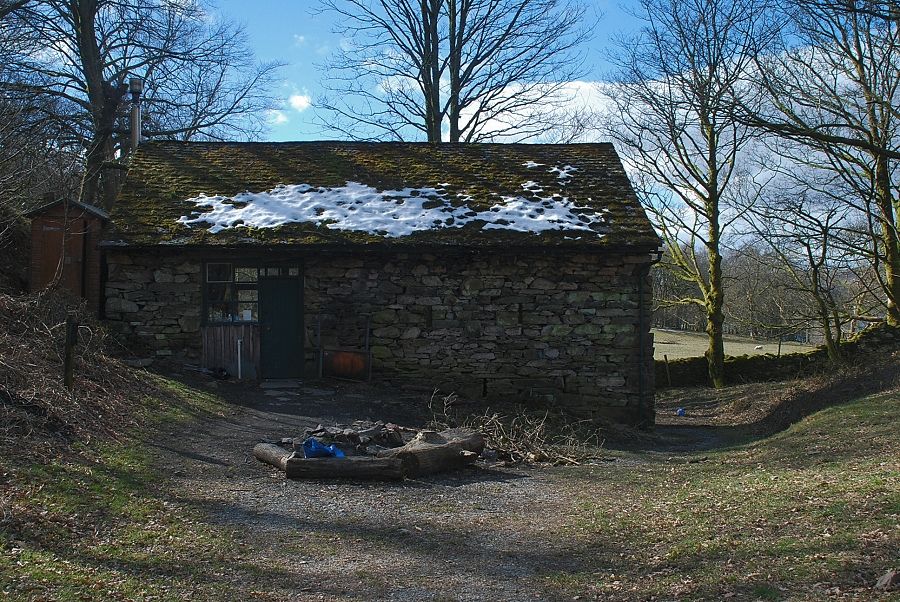 |
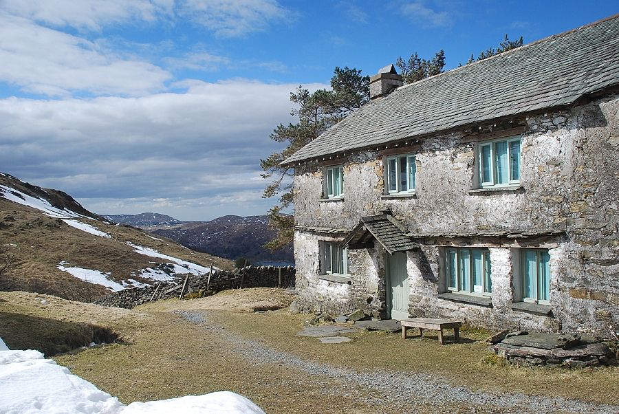
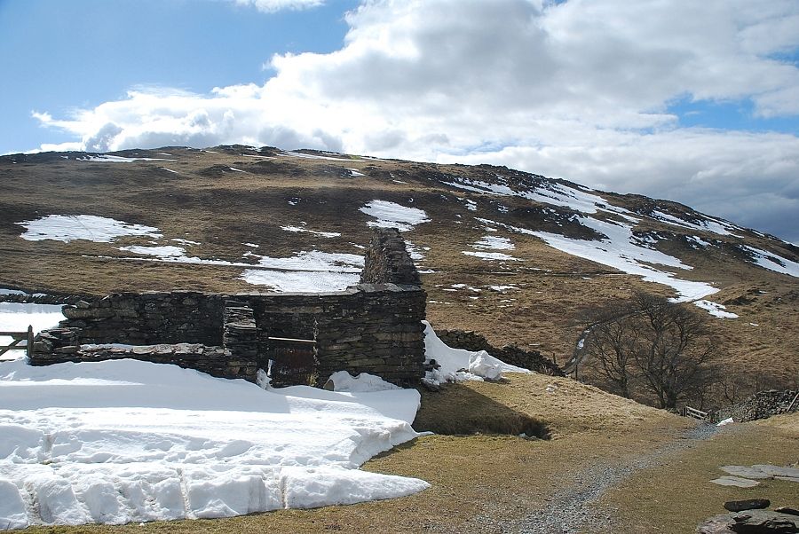
| The track ends at Wrostlers Barn, a camping bothy. The path continues on to the right of the barn |
 |
| Beacon Fell across Coniston Water from Wrostlers Barn |
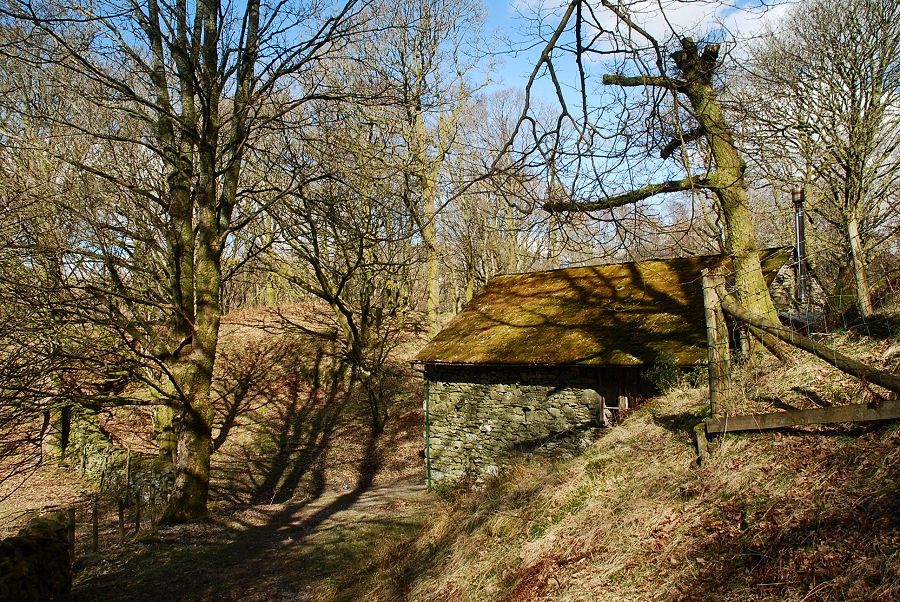 |
| Looking back on Wrostlers Barn |
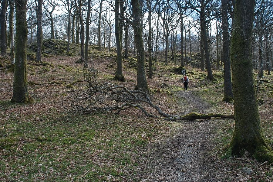 |
| Behind the barn a gate and stile lead onto a waymarked path through the oak trees of Dodgson Wood. The wood is a site of special scientific interest(SSSi) which is particularly noted for its wide variety of fungi |
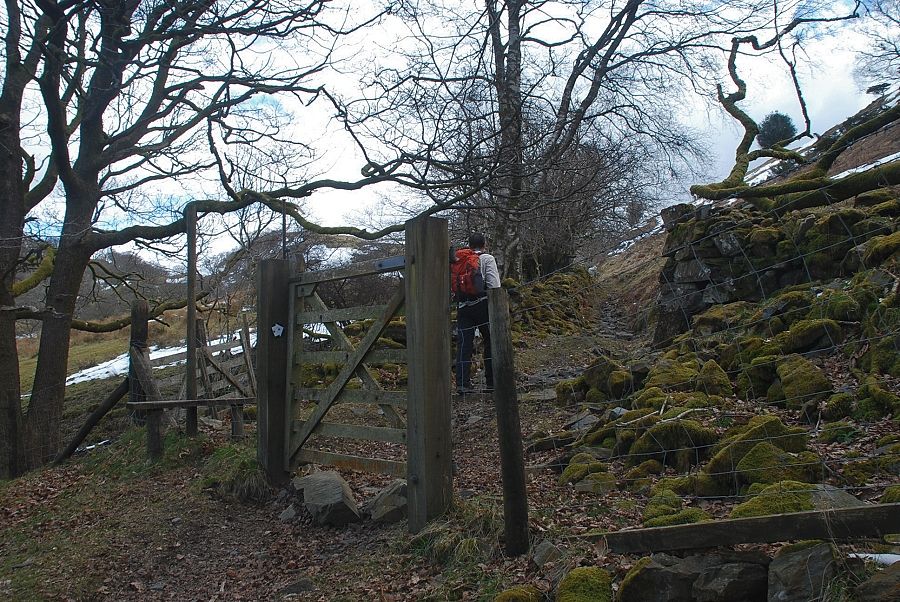 |
| The white waymark posts lead up to a stile and gate at the top of the wood |
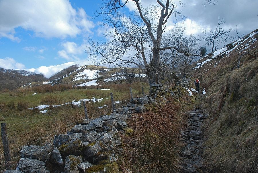 |
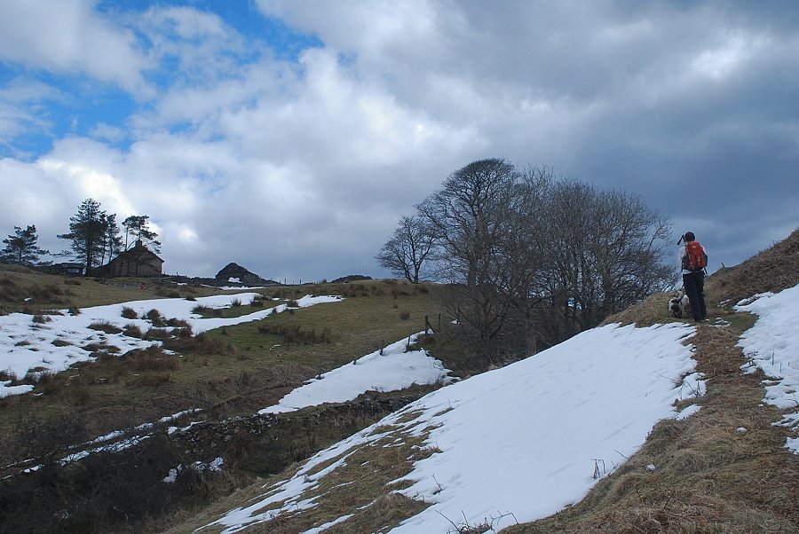
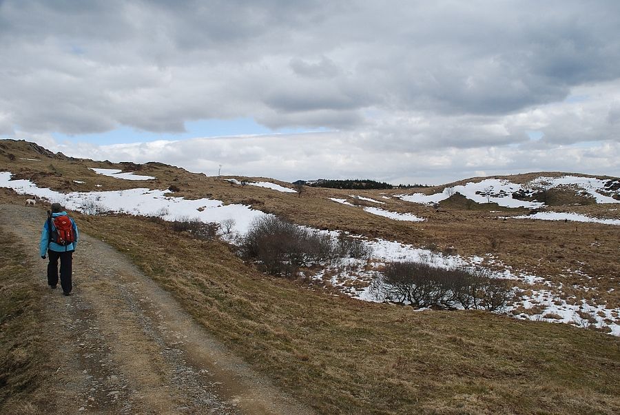
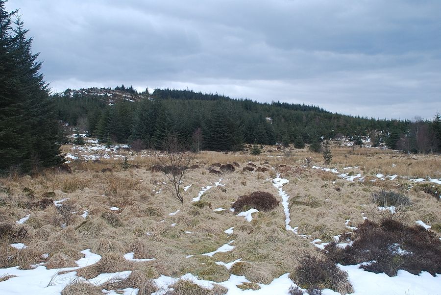
| The path continues up beside a wall and eventually joins a rough track which begins from High Nibthwaite and climbs to Low Parkamoor |
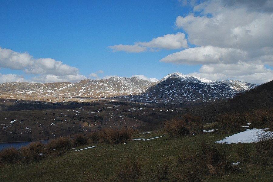 |
| Looking over to Dow Crag and Coniston Old Man from the path above Dodgson Wood |
 |
| Low Parkamoor comes into view as the path approaches the High Nibthwaite track |
 |
| Looking over towards Caw, White Maiden and Dow Crag |
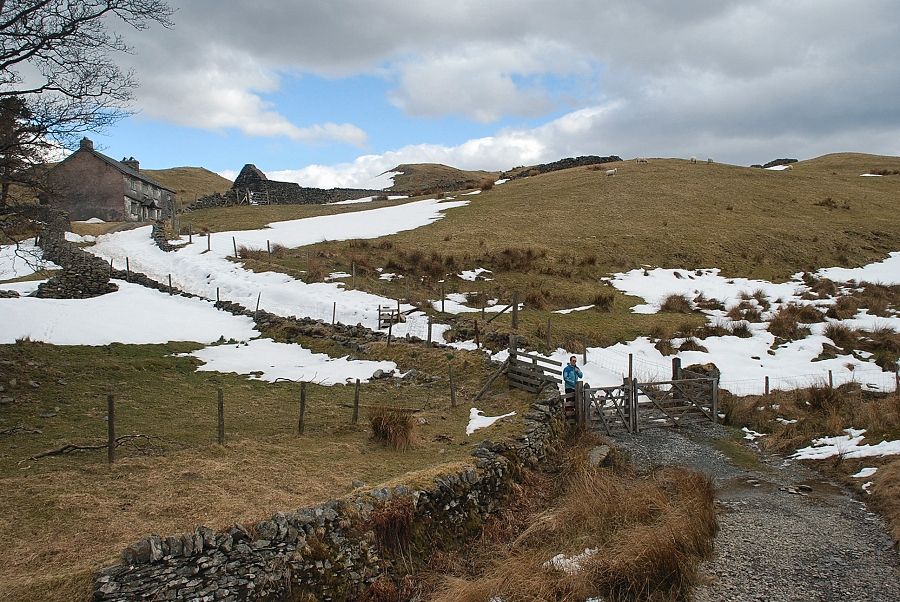 |
| Approaching Low Parkamoor on the High Nibthwaite track |
 |
| Low Parkamoor |
 |
| Top o' Selside from Low Parkamoor |
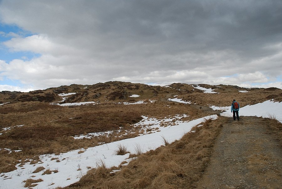 |
| Beyond Low Parkamoor the track continues northwards over the rocky knolls of The Park |
 |
| Looking back to Top o' Selside from The Park track |
 |
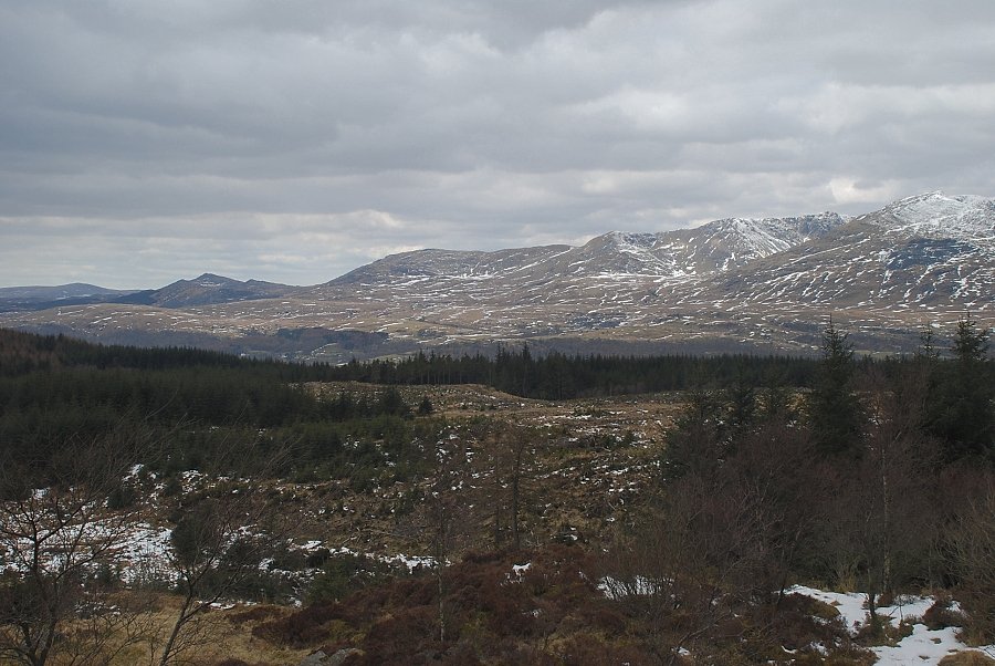
| Over to the right the summit of Carron Crag appears above the trees of the Grizedale Forest |
 |
| Dow Crag and Coniston Old Man from Park Crags |
 |
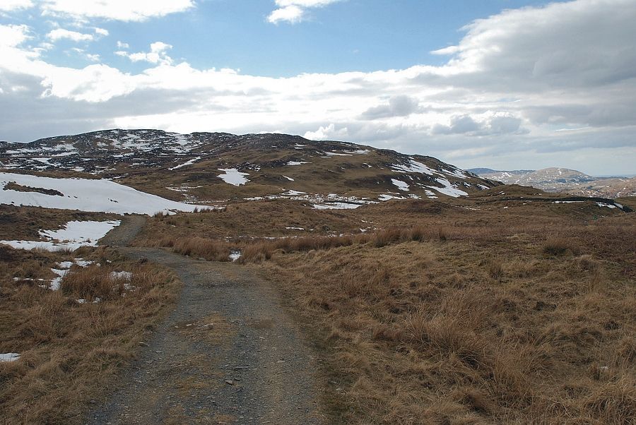
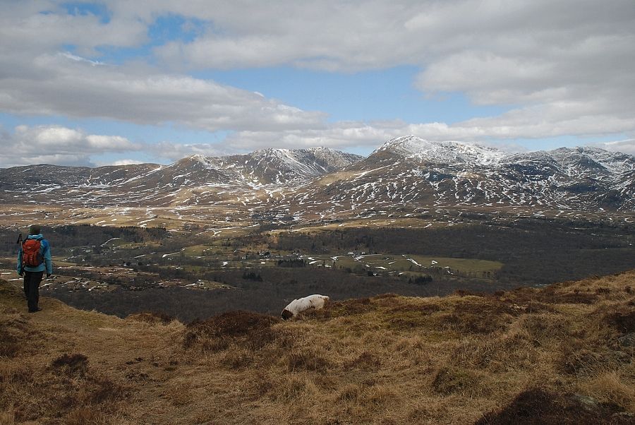
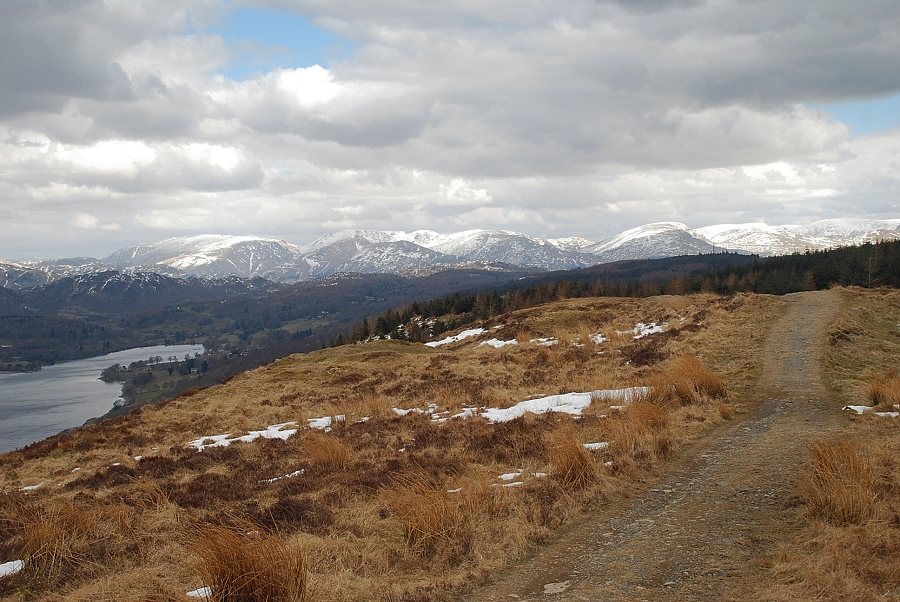
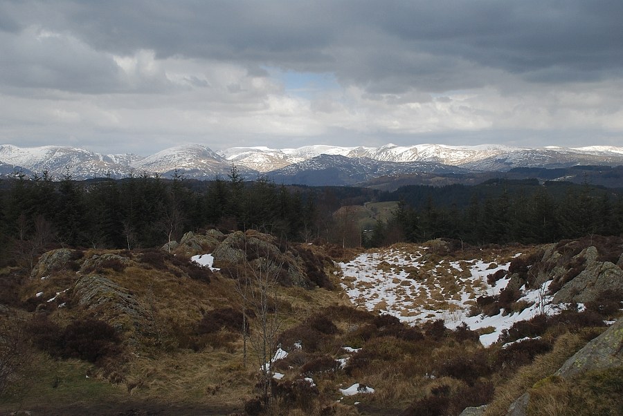
| As the track approaches its highest point Helvellyn and the Fairfield group of fells come into view |
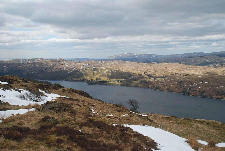 |
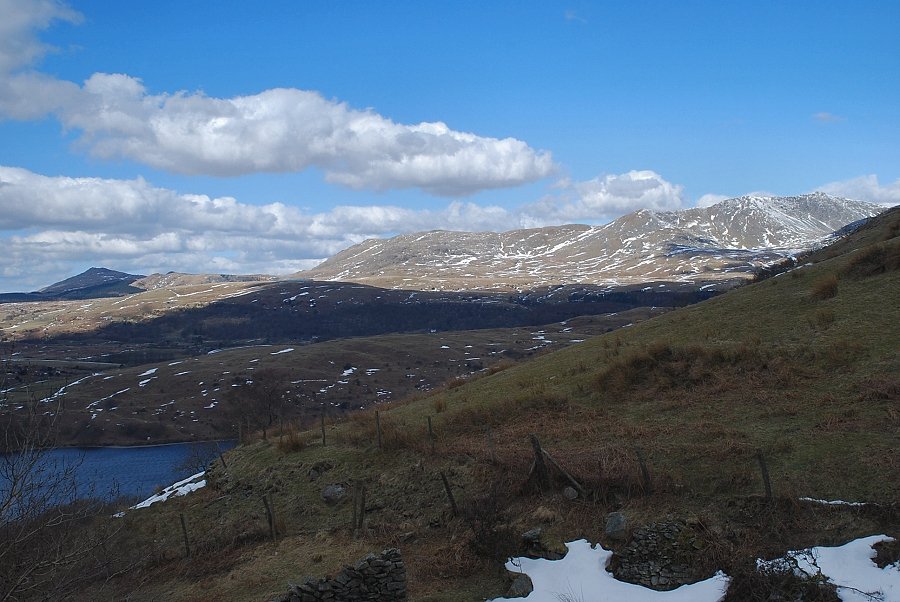
| The middle reaches of Coniston Water from The Park track |
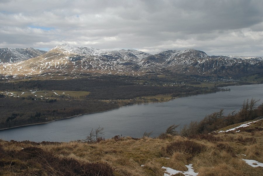 |
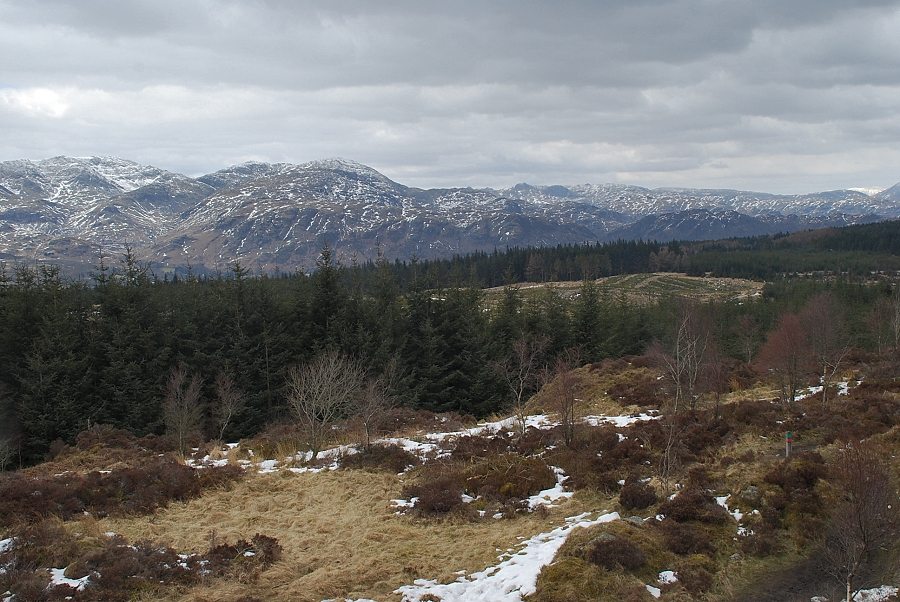
| Dow Crag, Coniston Old Man, Swirl How and Wetherlam across Coniston Water from The Park track |
 |
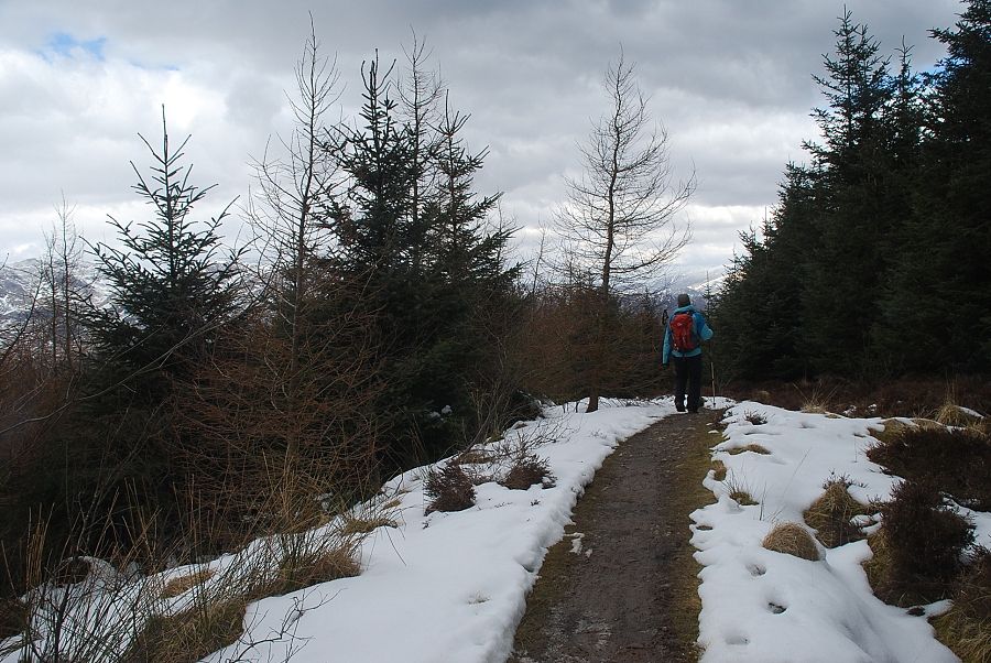
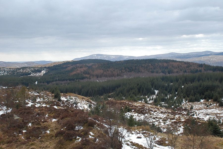
| The track begins to descend towards the Grizedale Forest |
 |
| The track ends at a gate in the forest fence where a path continues on through a firebreak |
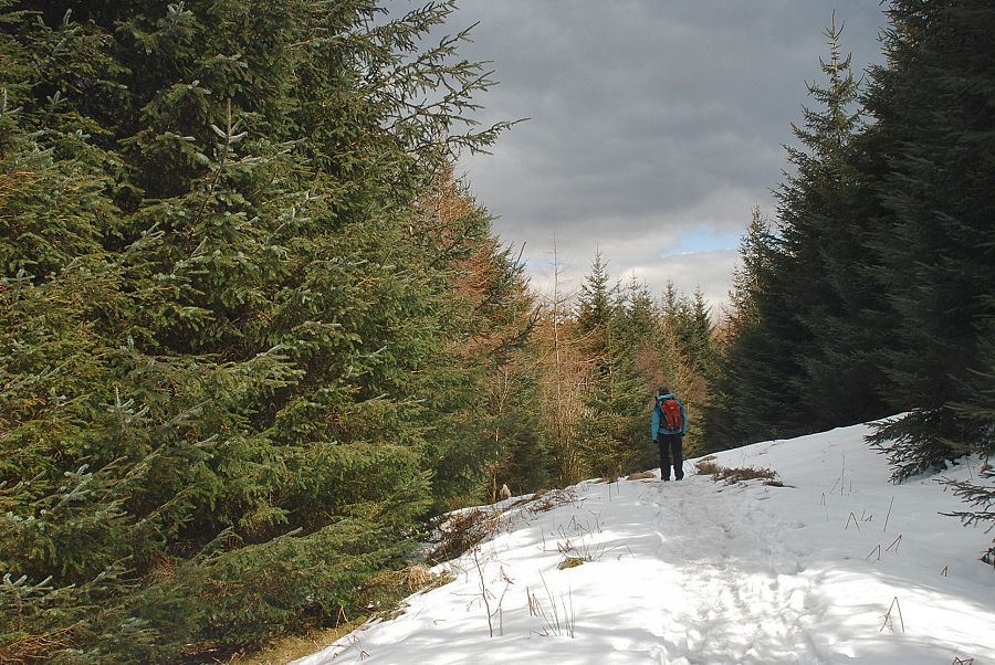 |
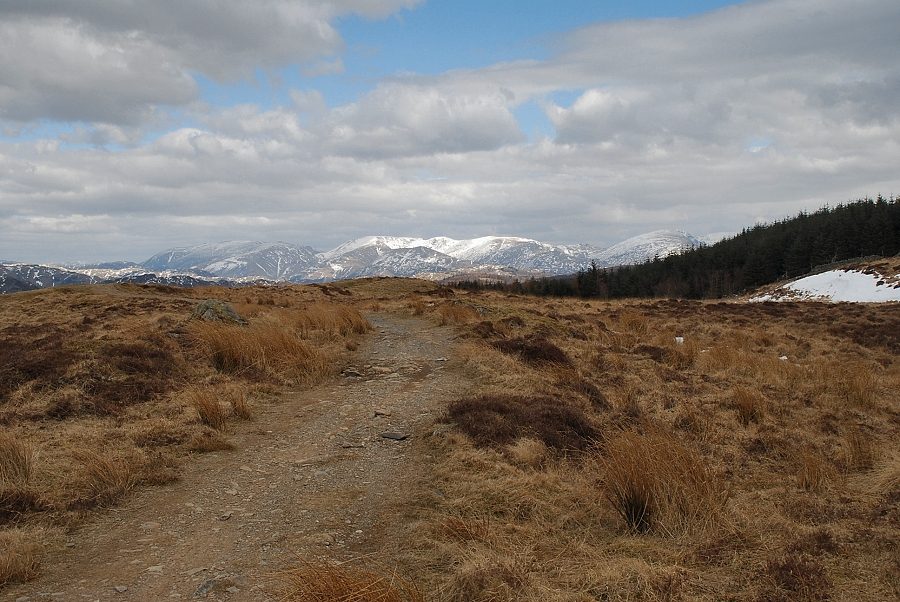
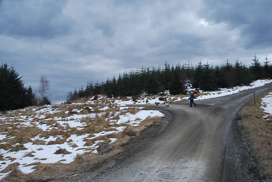
| The path gradually descends for half a mile until it reaches a major forest road, there are two options at that point. Either turn left and follow the forest roads to approach Carron Crag from the north, or turn right for a slightly shorter approach from the south |
 |
| We turned right on the forest road and Carron Crag soon came into view to the north-east across a clearing in the forest |
 |
| It's just a matter of following the forest roads turning left at each of three junctions, which are about a third of a mile apart, to circle around and approach Carron Crag from the south |
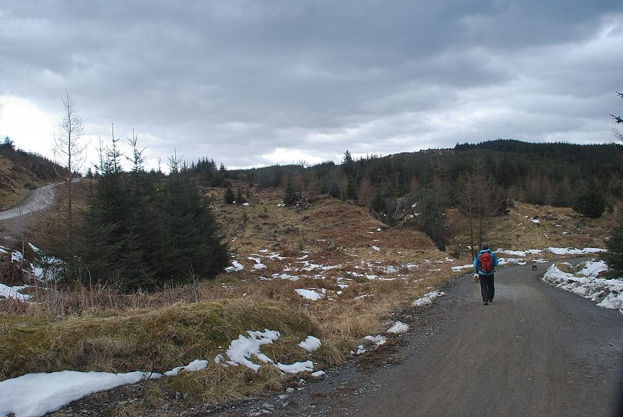 |
| Heading along the forest road from the second junction |
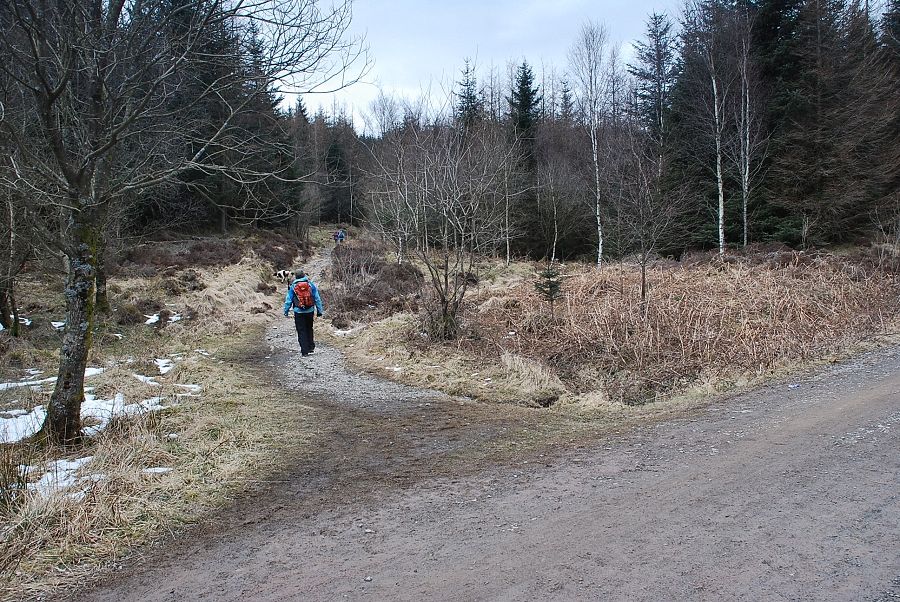 |
| A hundred yards past the third junction a path turns off through the trees towards Carron Crag |
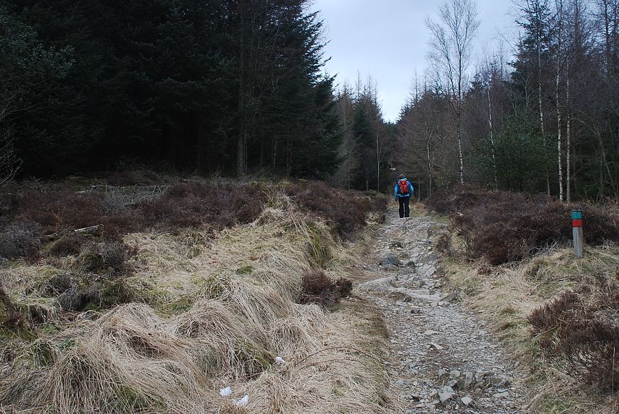 |
| The path to Carron Crag |
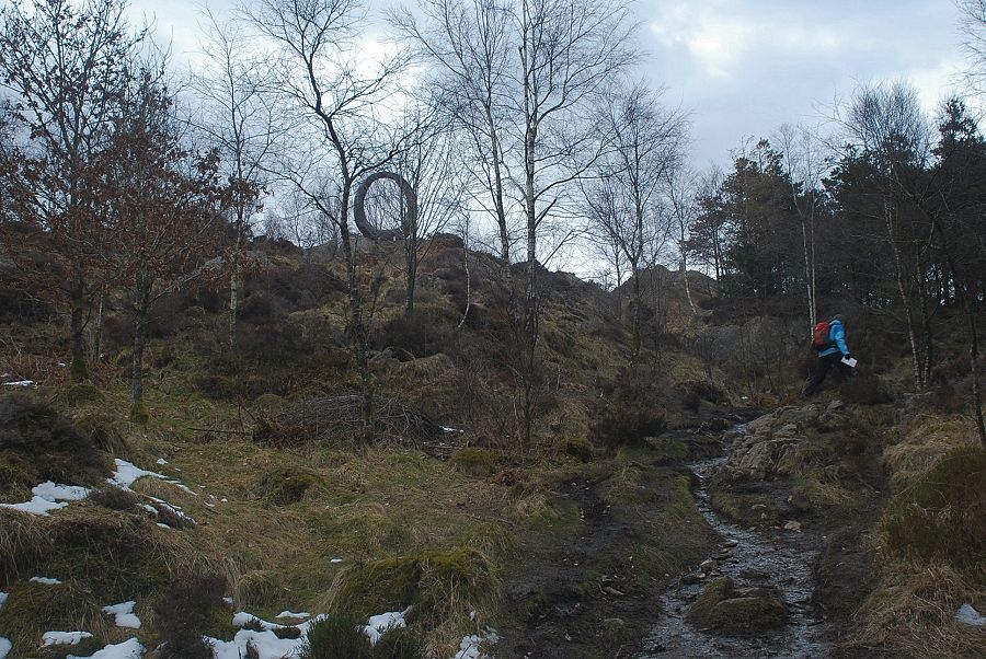 |
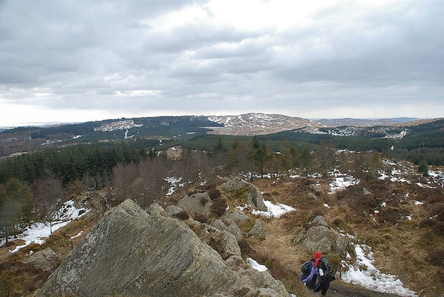
| As the path climbs up towards 17 Degrees South, one of the many sculptures in Grizedale Forest, the summit of Carron Crag comes into view |
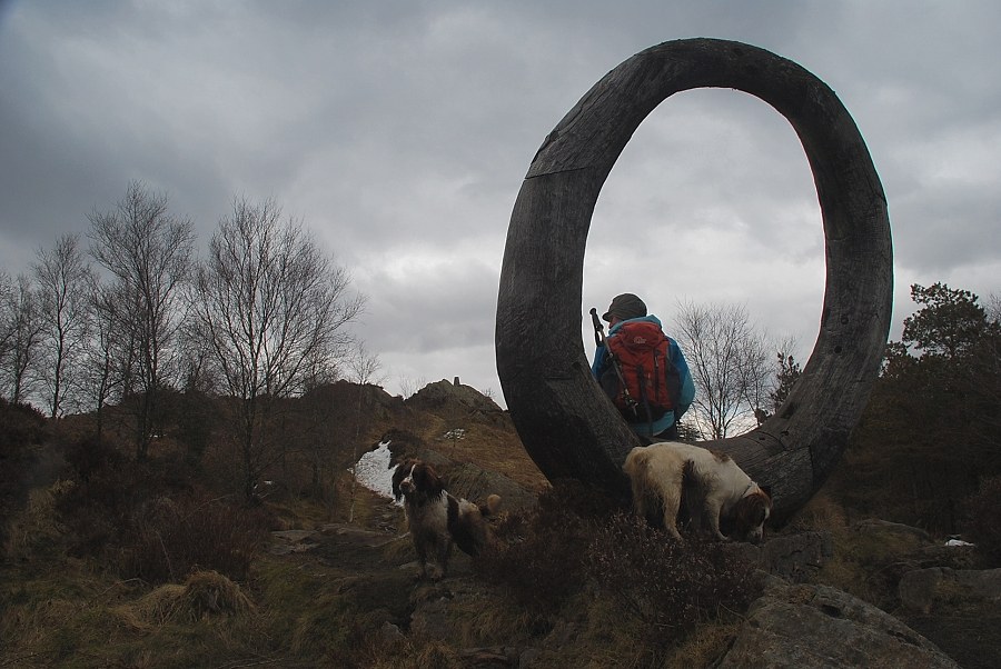 |
| Carron Crag from 17 Degrees South |
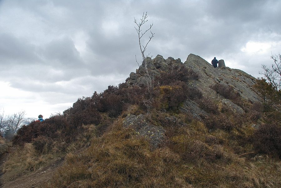 |
| Approaching the summit of Carron Crag |
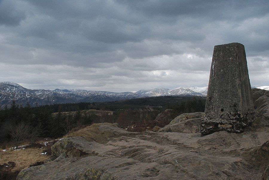 |
| The summit of Carron Crag |
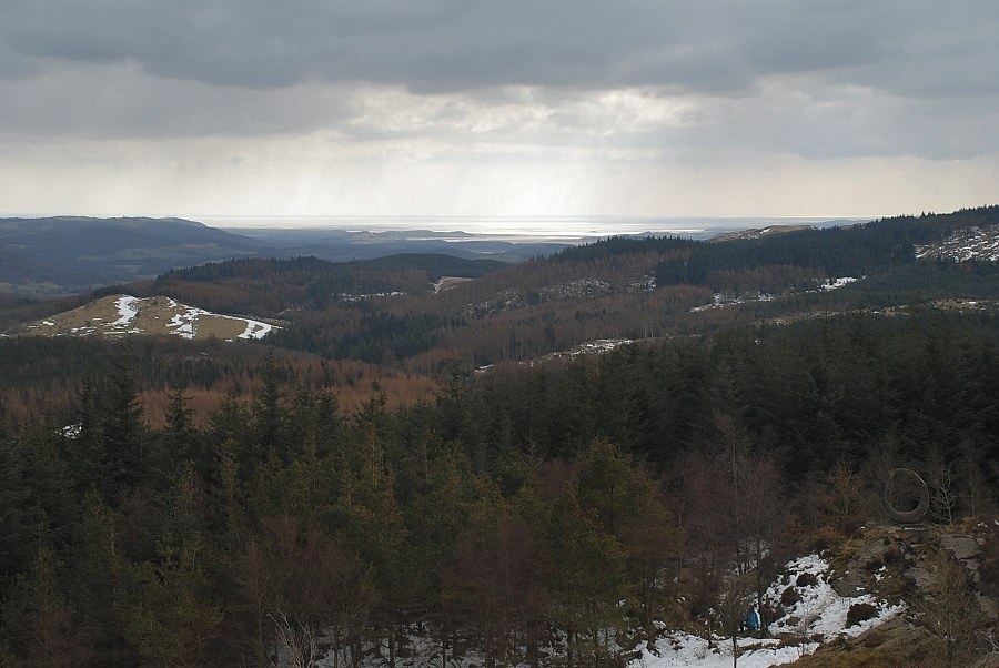 |
| The view south to the Leven Estuary |
 |
| Top o' Selside from the summit of Carron Crag |
 |
| Black Combe, Buck Barrow and Whit Fell on the horizon |
 |
| Caw, White Maiden, Dow Crag and Coniston Old Man |
 |
| Swirl How and Wetherlam with the Langdale Pikes in the centre horizon |
 |
| The Far Eastern Fells in the centre and right, with Dove Crag and Red Screes on the left |
|