
| Castle Crag - Route One |
| Start - Rosthwaite NY 257 148 | Distance - 1.4 miles | Ascent - 890 feet | Time - 1 hour |
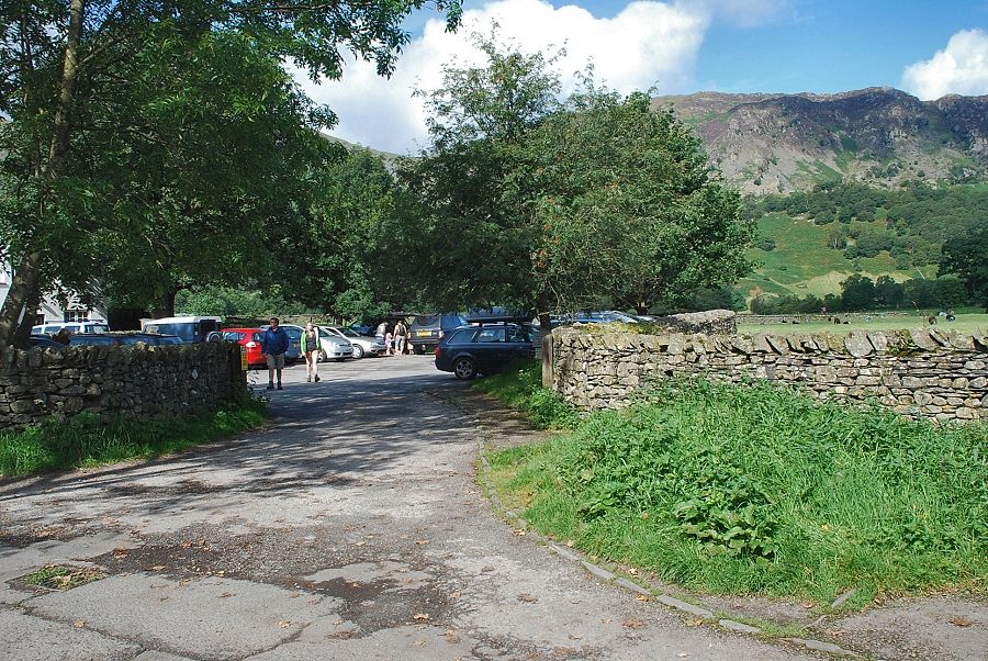 |
| The National Trust car park in Rosthwaite is the starting point for this walk |
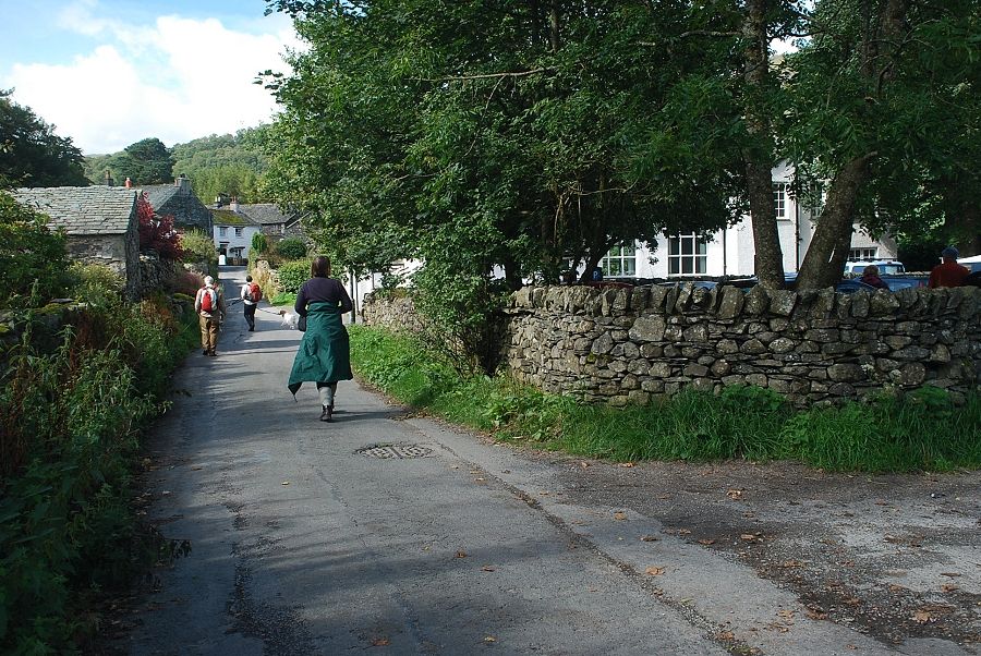 |
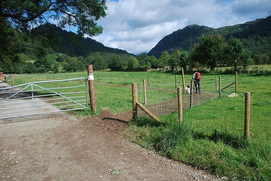
| Heading out from the car park along the lane towards Yew Tree Farm |
 |
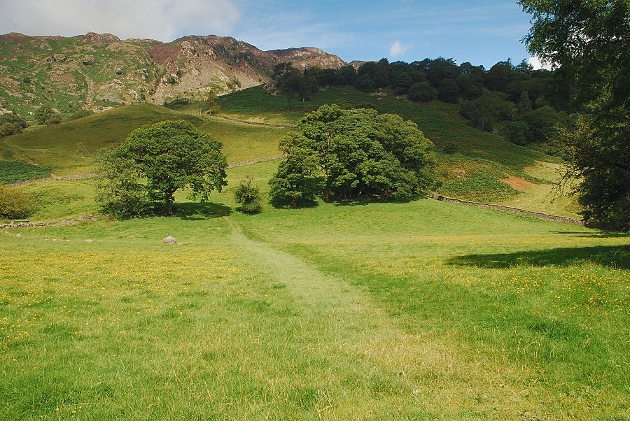
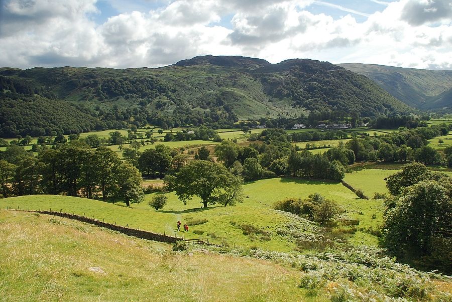
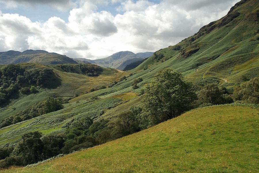
| Castle Crag on the left and King's How on the right from the lane |
 |
| Past Yew Tree Farm the lane leads on towards the banks of the River Derwent |
 |
| At the time of this walk part of the track alongside the Derwent had been closed whilst work was being carried out to repair and strengthen its banks following the devastating floods of 2009. A temporary path was in use to enable access to New Bridge |
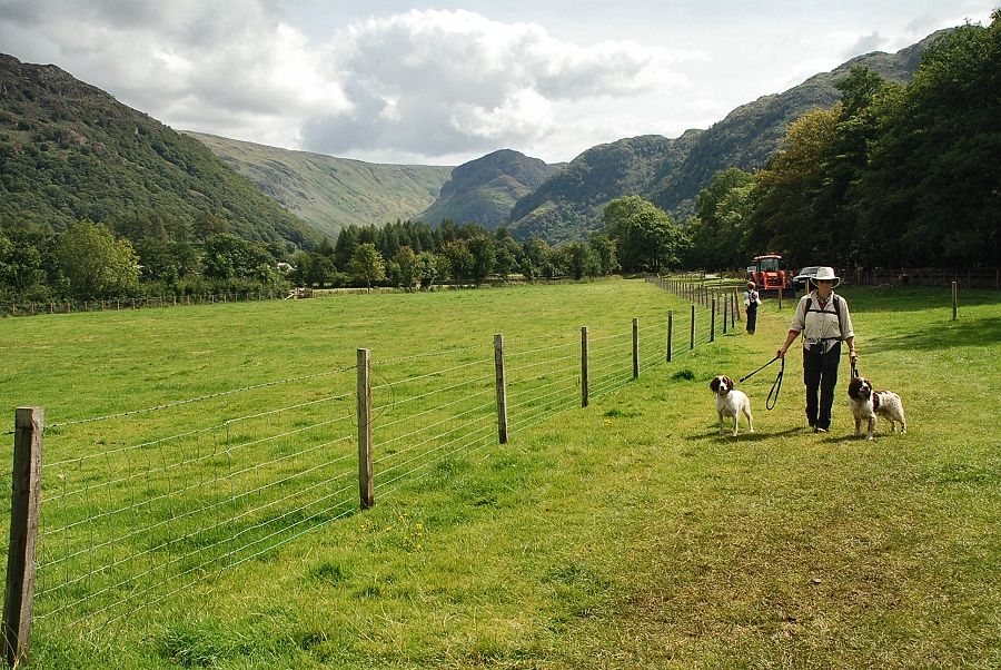 |
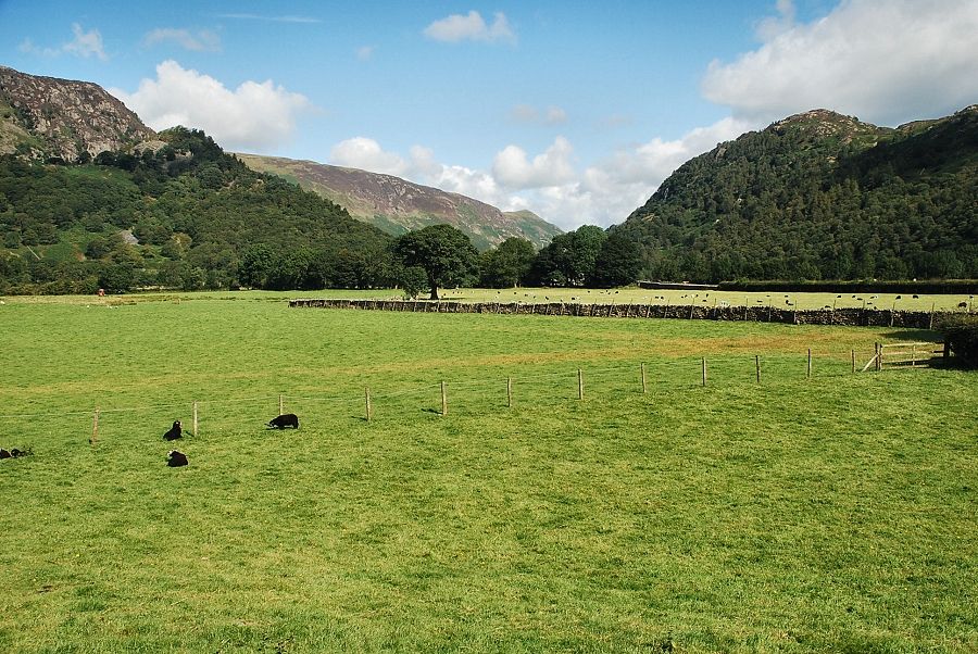
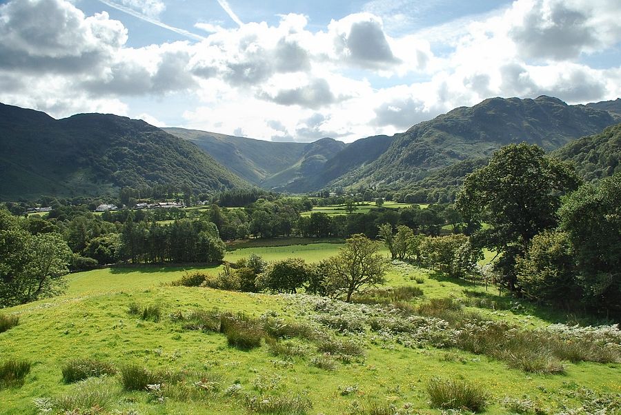
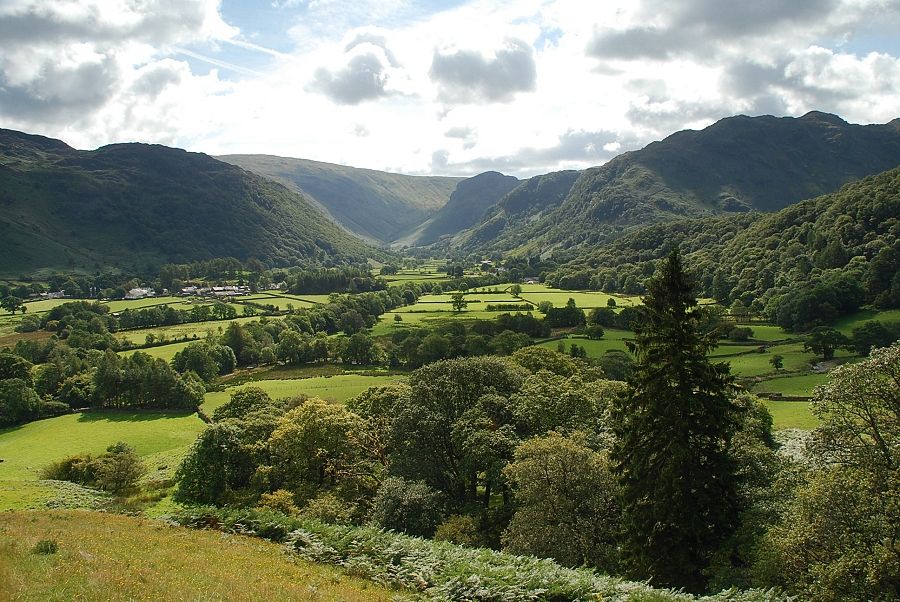
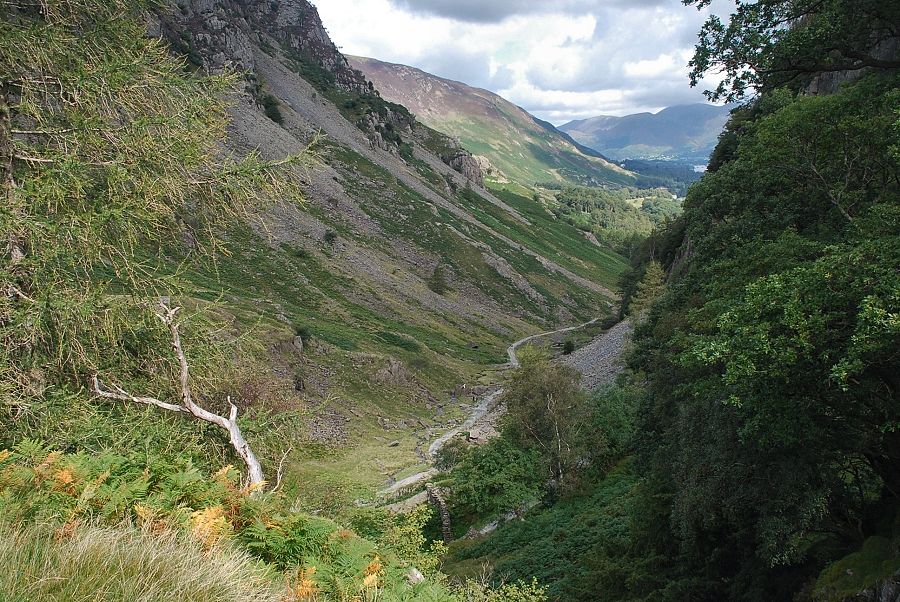
| Looking back to the Stonethwaite Valley with Eagle Crag at its head |
 |
| Crossing the Derwent by New Bridge |
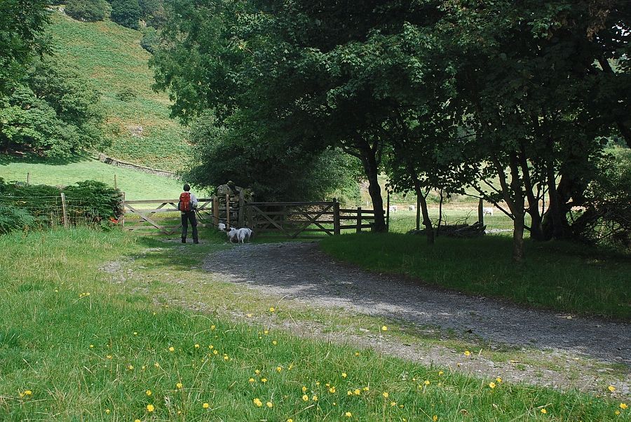 |
| Over the bridge the main path continues on along the riverside; we turn left through a gate onto the path up Lingy Bank |
 |
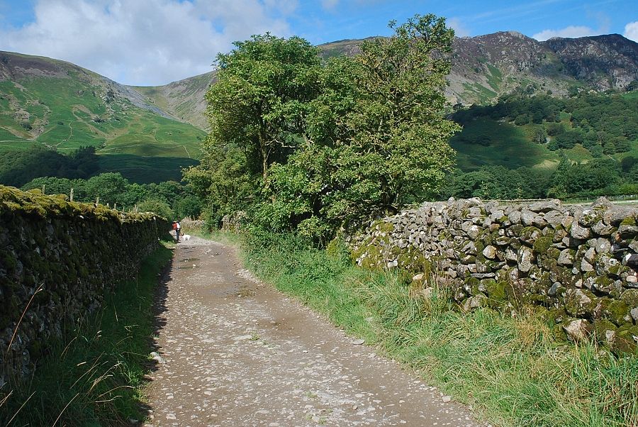
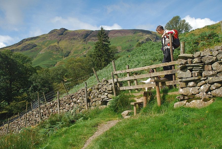
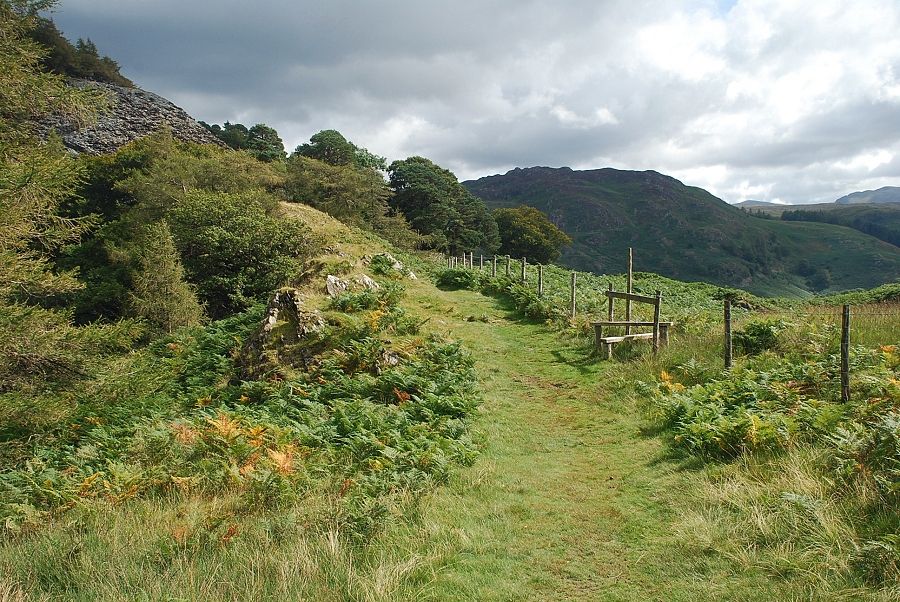
| The way ahead from the gate leads across a field to a stile at its top end and continues up the gentle slopes of Lingy Bank to join the old quarry road which runs between Little Gatesgarthdale and Grange |
 |
| High Scawdel from the stile on Lingy Bank |
 |
| Looking back to Rosthwaite and Stonethwaite from the stile |
 |
| The path up Lingy Bank with the spoil heaps of the disused Rigghead Quarry visible on the slopes of High Scawdel |
 |
| Great Crag and Rosthwaite from Lingy Bank |
 |
| Looking back to Stonethwaite from Lingy Bank |
 |
| Rosthwaite Fell and High Doat from Lingy Bank |
 |
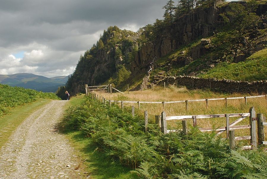
| At the top of Lingy Bank the path passes through a handgate and joins the old quarry road running below the slopes of Low Scawdel on the left |
 |
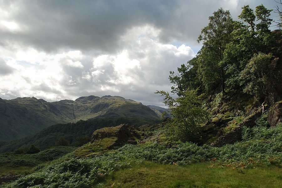
| Glaramara and Great End from the top of Lingy Bank |
 |
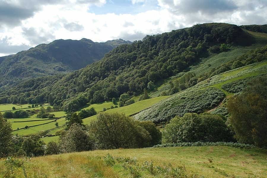
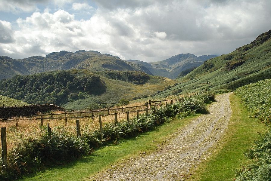
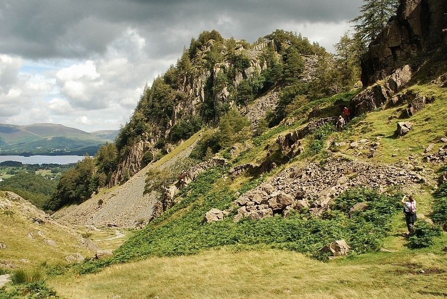
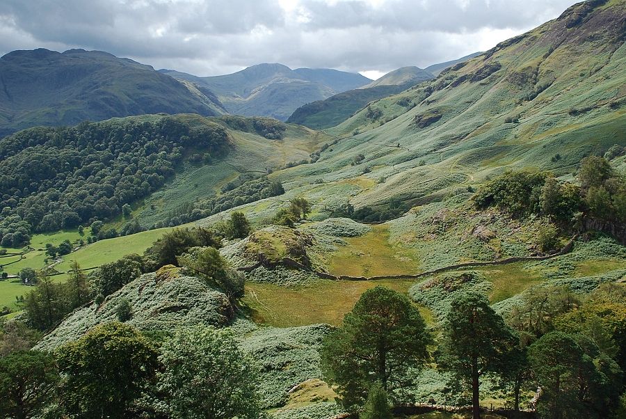
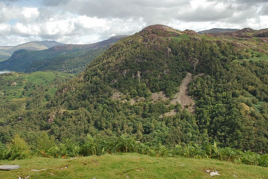
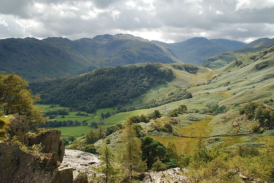
| Castle Crag from the old quarry road |
 |
| Looking back along the old quarry road, Glaramara above High Doat on the left with Great End centre right |
 |
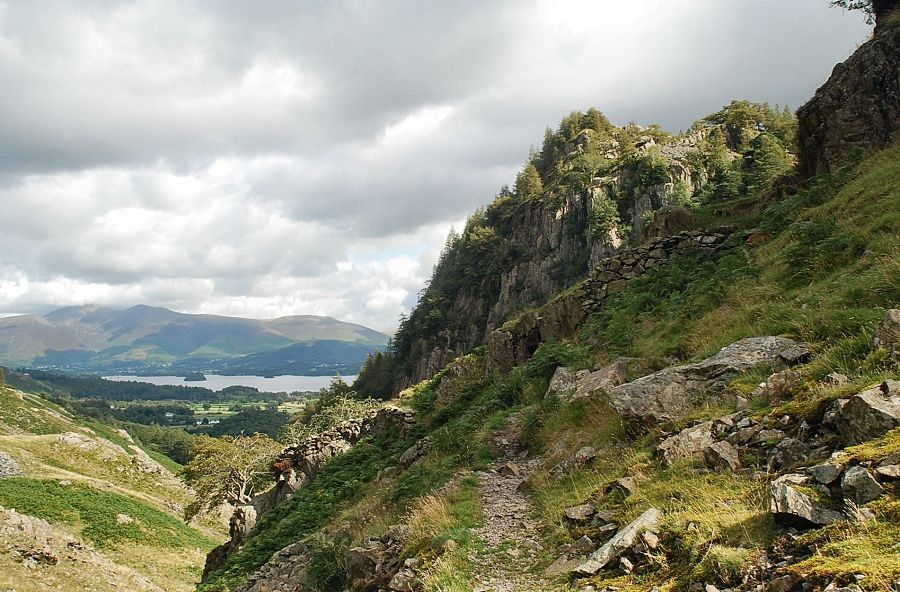
| Skiddaw and Derwent Water from the highest point of the old quarry road |
 |
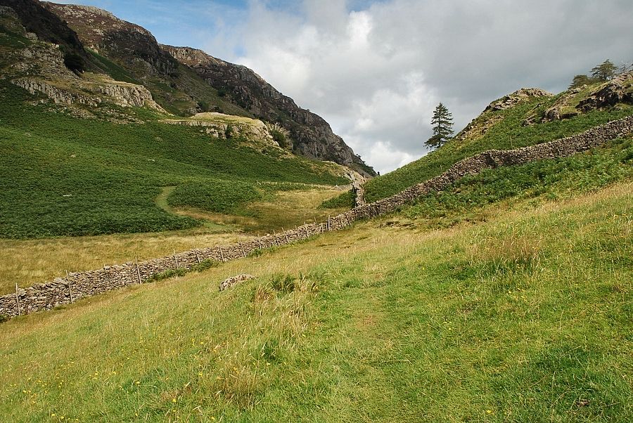
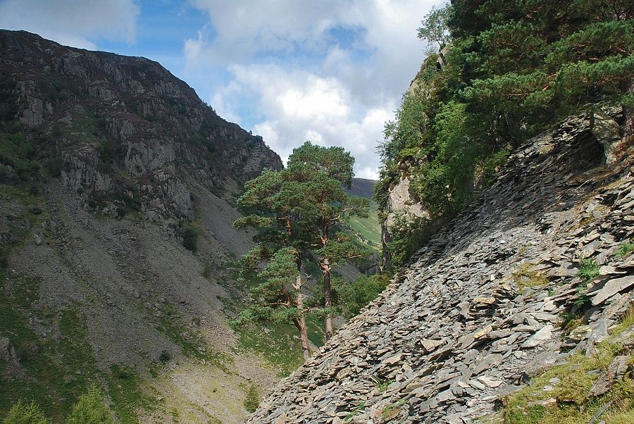
| As the old road begins to descend into Broadslack Gill a narrow path bears off right, climbing below a minor crag to a grassy col under Castle Crag |
 |
| The path meets and runs alongside a ruined wall to a narrow terrace which gives a dramatic view down Broadslack Gill |
 |
| Looking back down to the old quarry road |
 |
| Skiddaw and Derwent Water from the terrace path |
 |
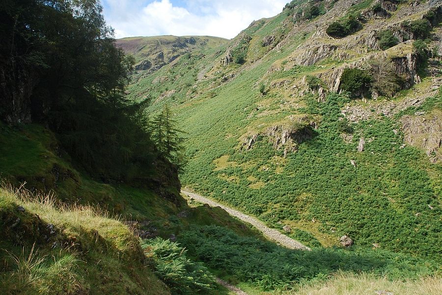
| Looking down from the terrace to the old quarry road in Broadslack Gill |
 |
| Great Crag from the grassy col, here another path which comes up from the River Derwent joins this one at a fence stile |
 |
| Glaramara from the grassy col |
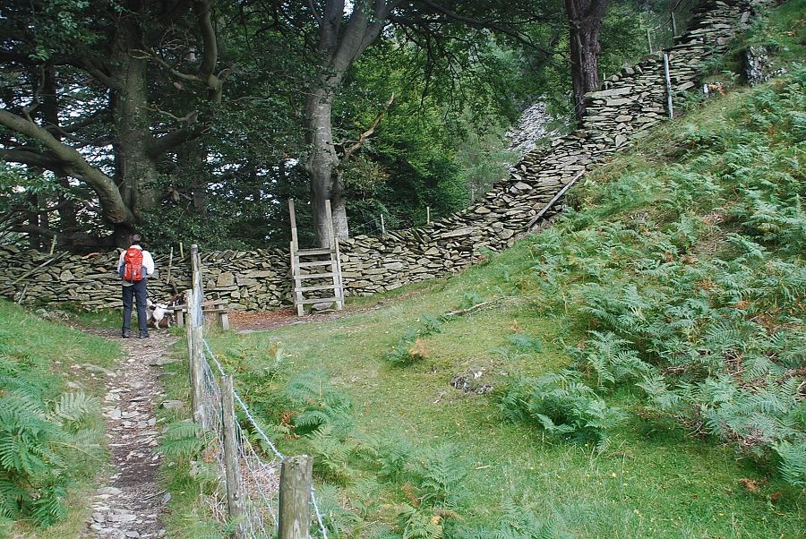 |
| Further along a couple of stiles are crossed giving access to the upper slopes of Castle Crag |
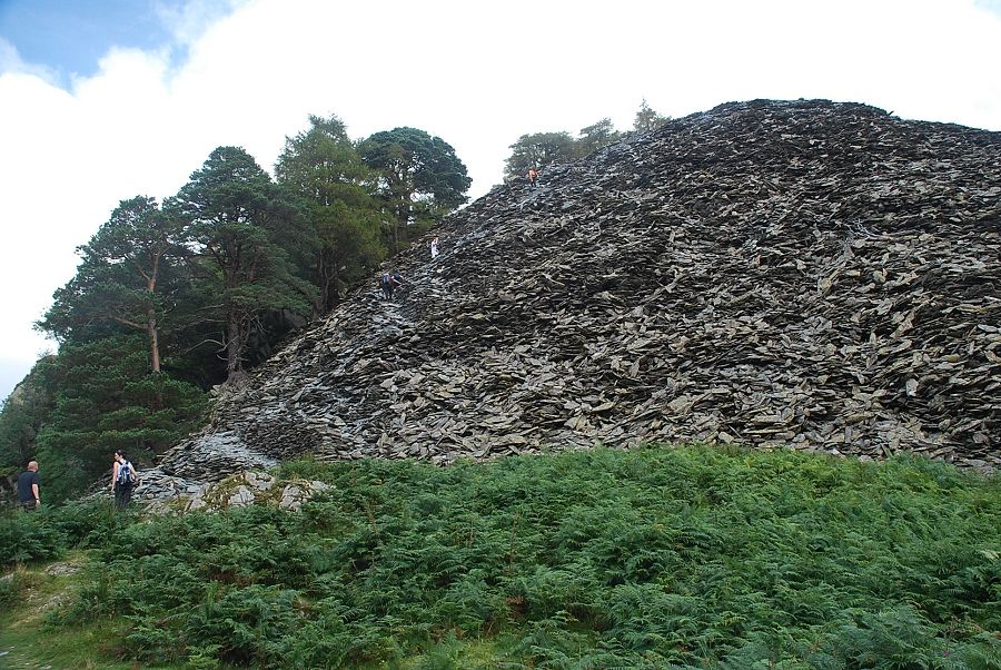 |
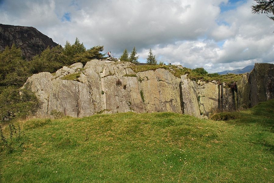
| At the base of the disused quarry spoil bank below the summit |
 |
| The path winds its way up the spoil bank passing some fine Scots pines |
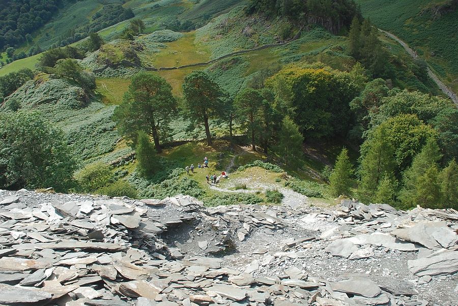 |
| Looking down from the path up the spoil heap |
 |
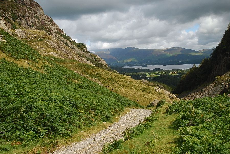
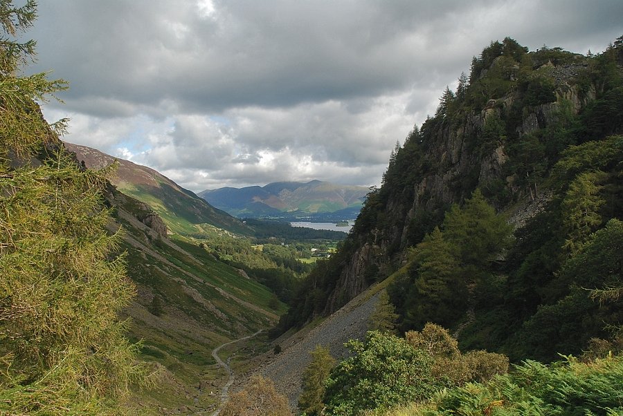
| Upper Borrowdale from the top of the spoil bank. Ullscarf, Eagle Crag, High Raise and Rosthwaite Fell form the skyline |
 |
| Glaramara, Great End and Scafell Pike from the top of the spoil bank |
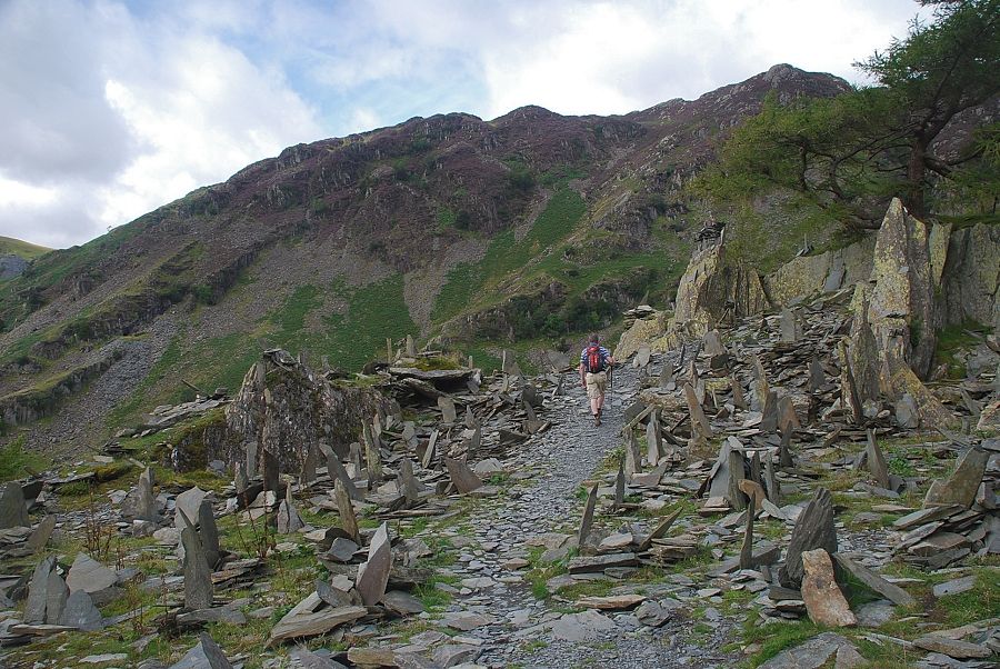 |
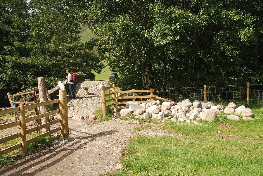
| A path leads through an open air exhibition of slate sculpture towards the old quarry which is worth a visit |
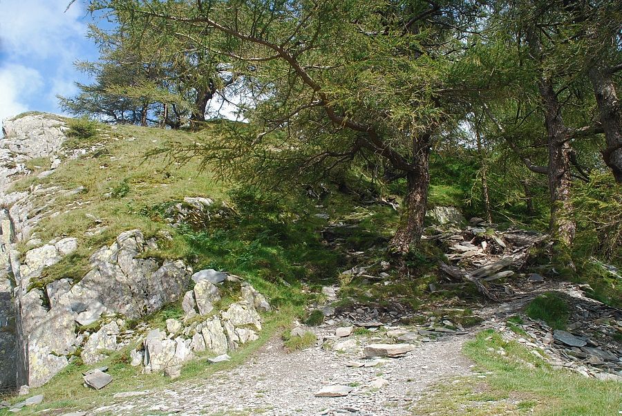 |
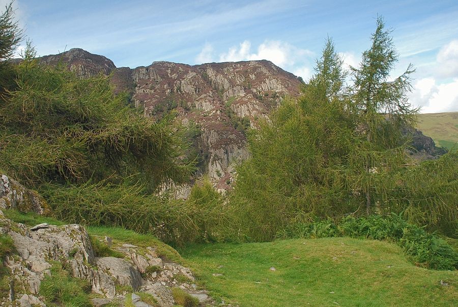
| The path to the summit however avoids the quarry on its right side by passing through an area of windswept larches |
 |
| The summit of Castle Crag comes into view perched almost on the edge of the quarry |
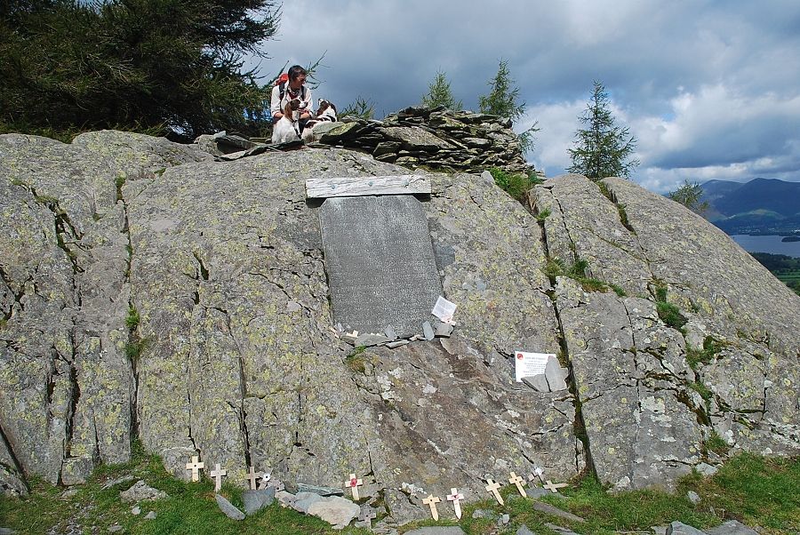 |
| The summit outcrop is capped by a wind shelter and has a slate memorial honouring the men of Borrowdale who lost their lives in the Great War 1914-18 |
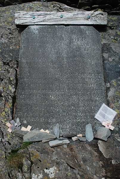 |
| The memorial plaque |
 |
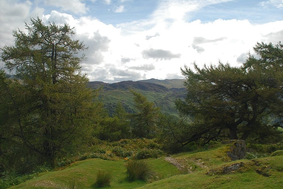
| King's How with Blencathra on the left above Walla Crag |
 |
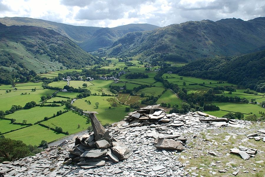
| Great Crag and Ullscarf from the summit of Castle Crag |
 |
| Glaramara, Allen Crags, Great End, Scafell Pike and Base Brown from the summit of Castle Crag |
 |
| High Spy from the summit of Castle Crag |
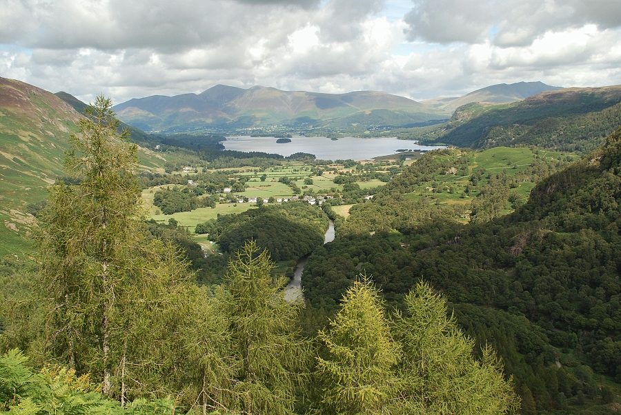 |
| Derwent Water from the summit of Castle Crag |
|