
| Catstycam - Route One |
| Start - Glenridding NY 386 169 | Distance - 3.7 miles | Ascent - 2,450 feet | Time - 2 hours : 40 minutes |
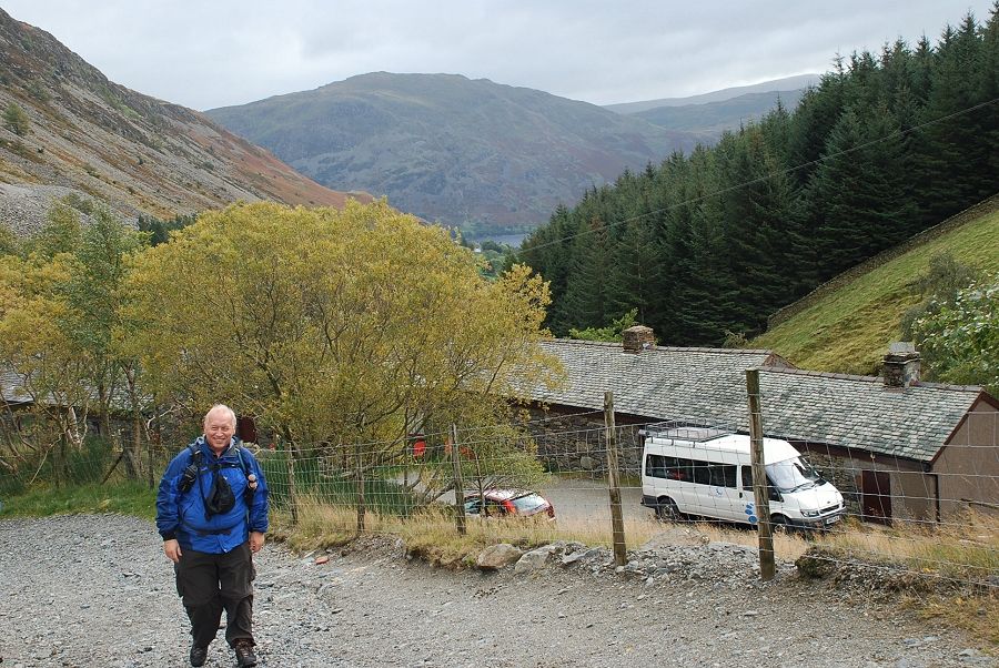
| Today Kate and I had arranged to join some members of the UK Walking Forum for a walk to Helvellyn from Glenridding, by way of the north west ridge of Catstycam. Our thanks to Dave for organising this walk, it was good to meet some forum members for the first time, Colin, Peter and Catherine accompanied by her collie Lexi |
 |
| The forecast was for a sunny day, but it started rather gloomy with occasional heavy showers |
 |
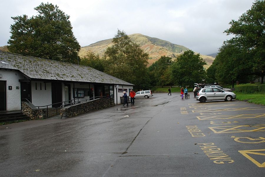
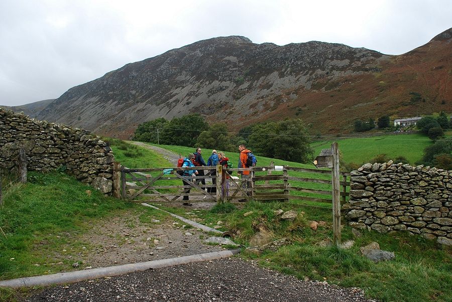
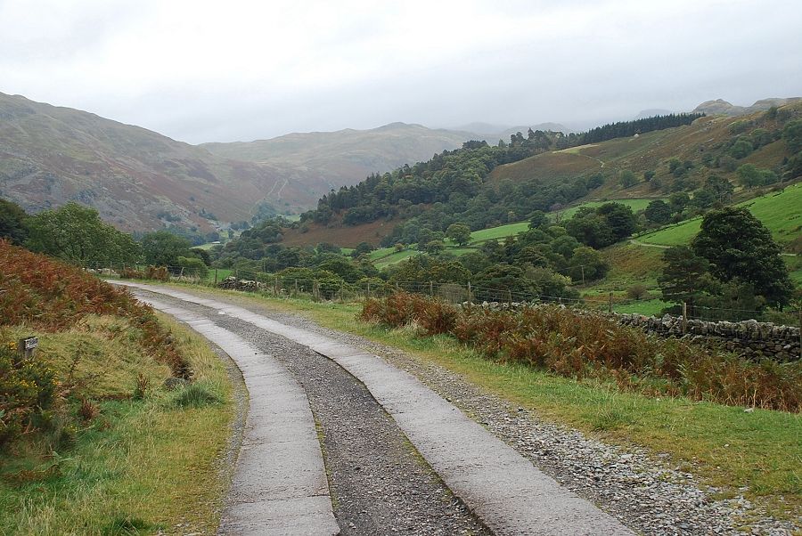
| We're off out of the car park and along Greenside Road |
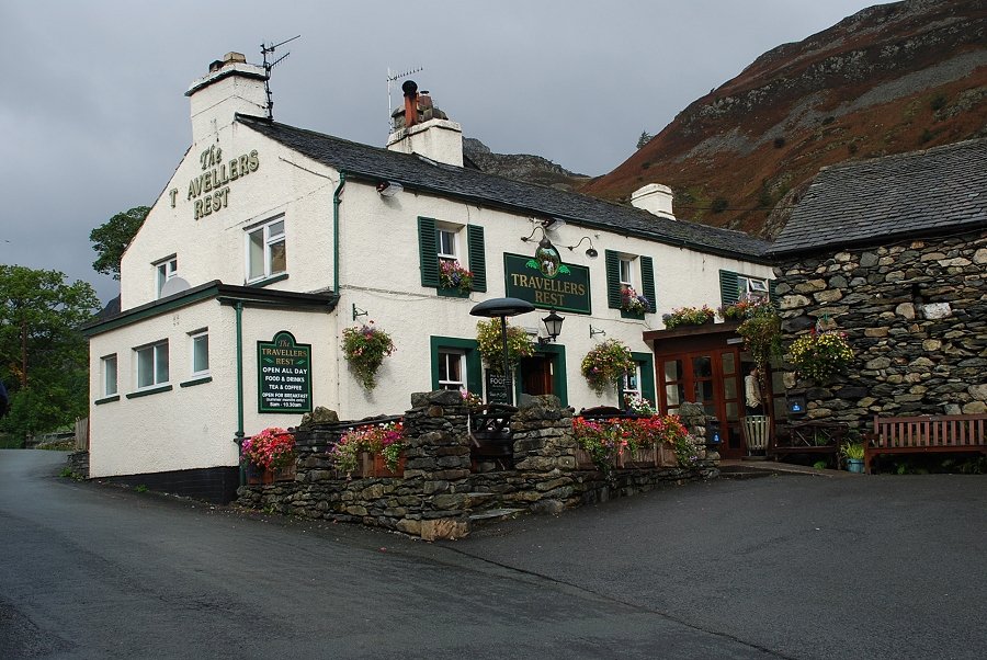 |
| Passing the Travellers Rest at the top of the hill. Always a temptation to call in, but it's a bit too early into the walk ! |
 |
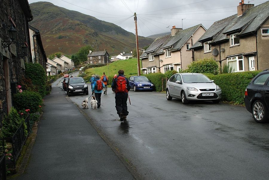
| Heading down the lane towards Rattlebeck Bridge and Gillside |
 |
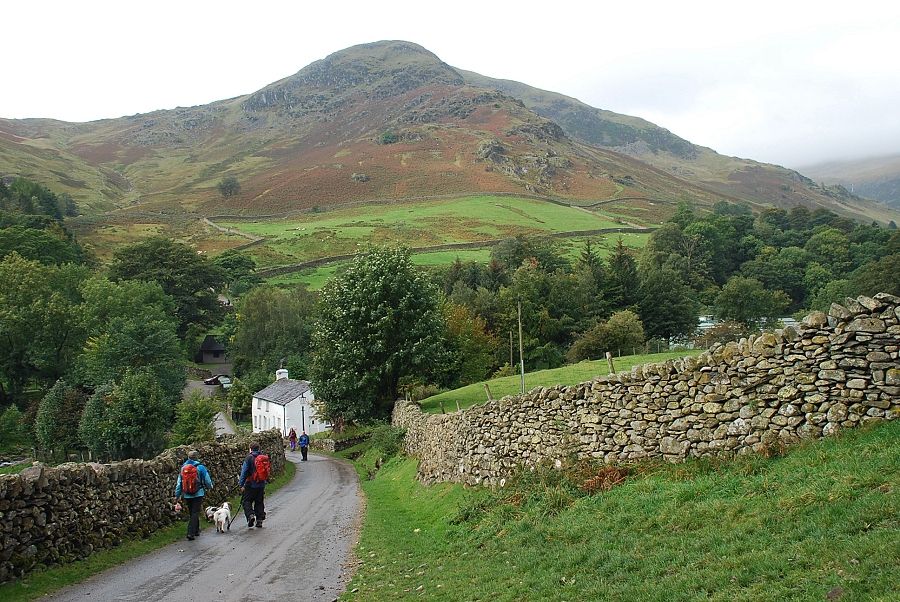
| Looking back from Gillside to Place Fell |
 |
| Taking the field path to a footbridge over Glenridding Beck |
 |
| Glenridding Beck from the footbridge |
 |
| Emerging from the field path back onto the Greenside Road, that was a bit of scenic diversion ! |
 |
| Looking back along the Greenside Road, looks like we have just escaped a heavy shower that's heading towards Patterdale |
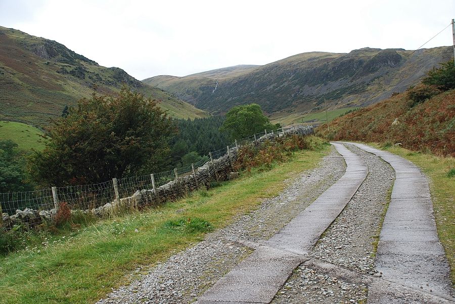 |
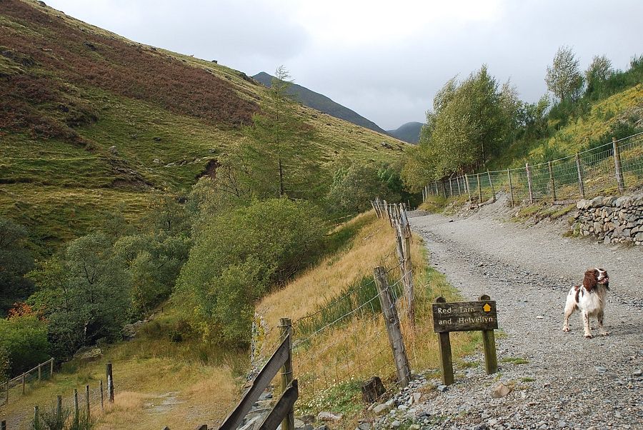
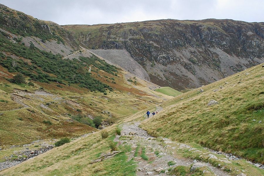
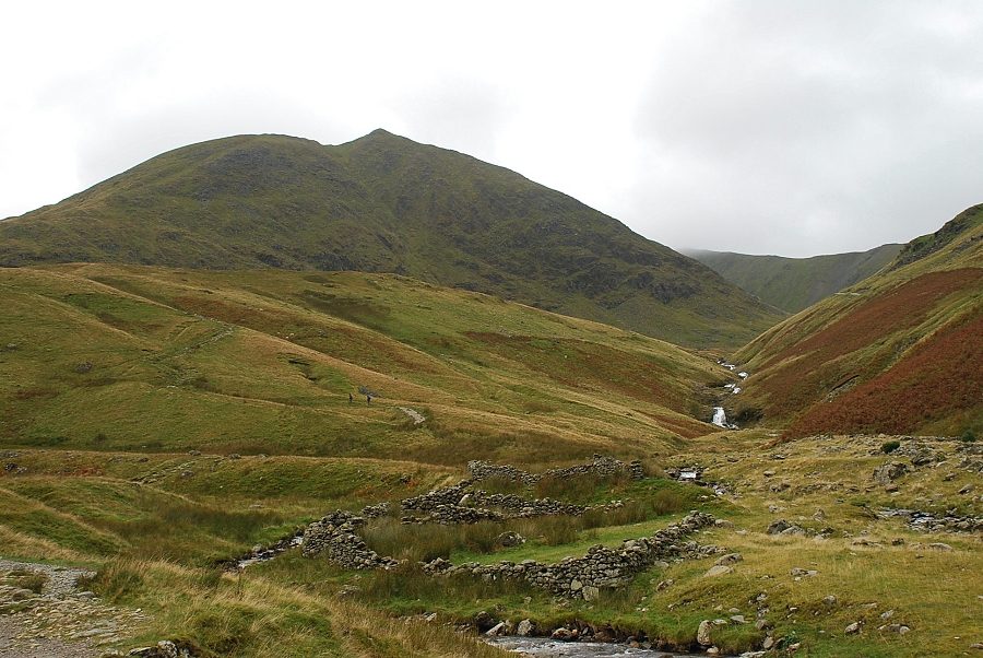
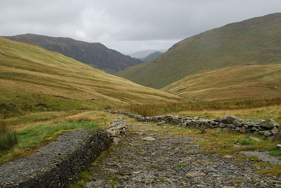
| All clear this way as we continue on up the valley towards the old Greenside Mine |
 |
| Approaching the site of the disused mine we pass an old building. Its concrete roof, steel door and earth-banked sides suggest it may have been the explosives store for the mine. Some dispute this because of its close proximity to the road |
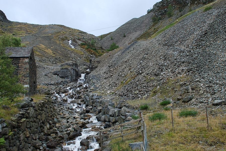 |
| Looking up Swart Beck to the lower workings of the Greenside Lead Mine. Little remains now of the surface features of the mine, the structures straddling the beck are the concrete foundations of the ore bin. The mine closed in 1962 after almost 300 years of operation, exploiting a mile long vein of galena ore which was first discovered high on the slopes of Greenside Fell. Numerous levels and shafts (some to a depth of 1400ft) were driven into the vein, which was up to 40ft wide in places. By the 1950's operations were becoming uneconomic but hopes for its future were raised in 1959 when the mine was handed over to the United Kingdom Atomic Energy Authority and the Atomic Weapons Research Establishment who conducted experiments under Operation Orpheus, with the mining company providing all the civil engineering and mining expertise associated with the programme. Whilst the experiments were successful, the programme was curtailed in 1961 when negotiations over a proposed nuclear test ban treaty between the western powers and the Soviet Union broke down, no doubt due to the conclusions drawn from the experiments. Mining of the last of the ore reserves was resumed but despite new explorations nothing of any commercial value was found so the long history of the mine came to an end. It has been estimated that over its working life the mine yielded over 350,000 tonnes of lead and 35 tonnes of silver |
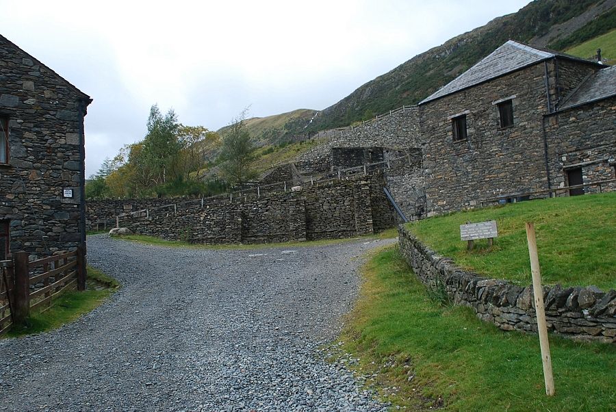 |
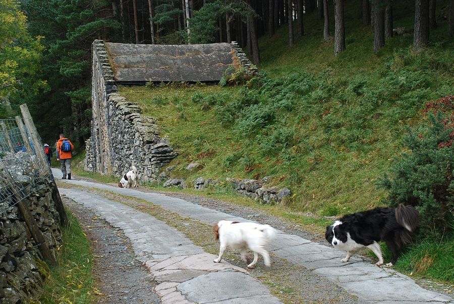
| The former offices and stores of the mine, together with part of the old smelt mill have been converted into an outdoor centre and climbing hut |
 |
| Looking back to Place Fell |
 |
| The first view of Catstycam as we leave the site of the mine |
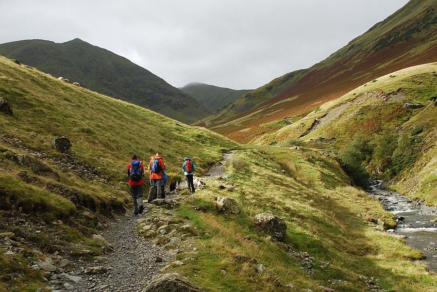 |
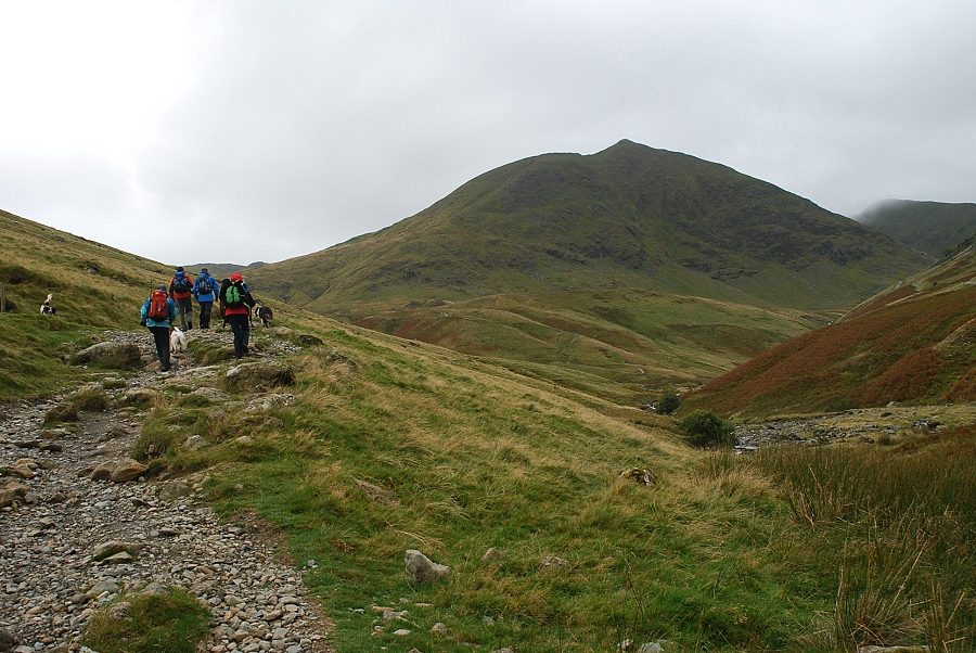
| On the path beside Glenridding Beck with Catstycam on the left and Helvellyn Lower Man straight ahead |
 |
| Looking back to Sheffield Pike and the site of the mine |
 |
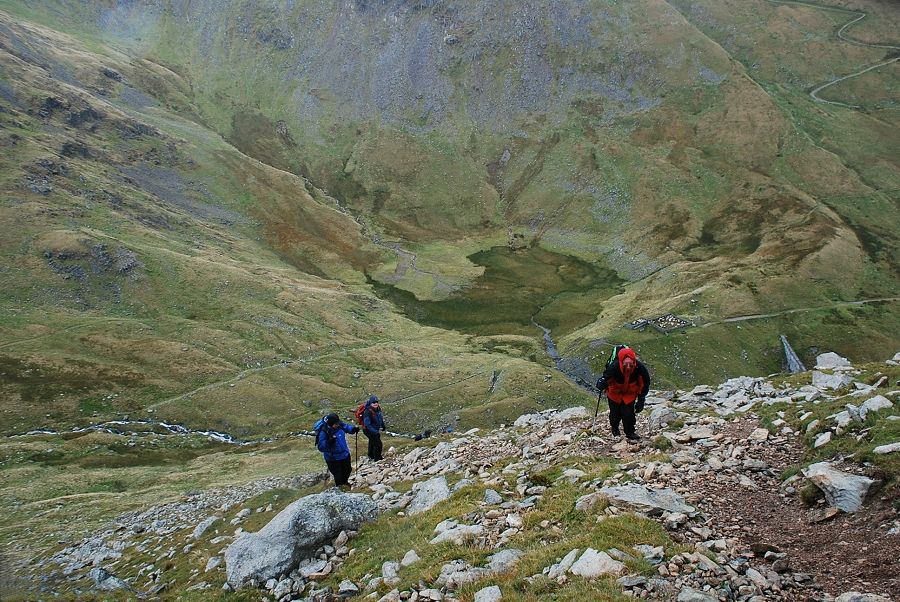
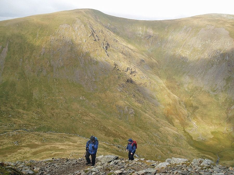
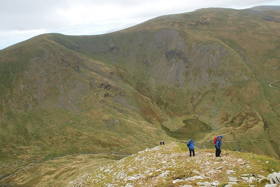
| Higher on the path the start of Striding Edge is just visible above the group |
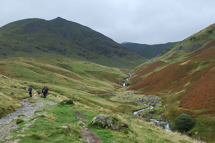 |
| Catstycam dominates the view ahead as we descend slightly towards Red Tarn Beck |
 |
| Another look back to Sheffield Pike |
 |
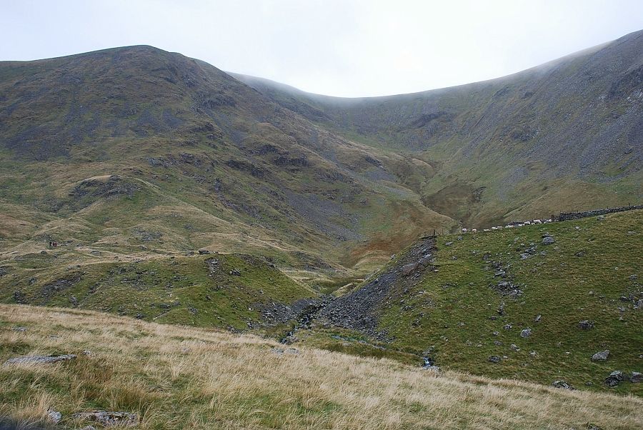
| The north face of Catstycam from what is marked as a sheepfold on the OS map. Our way ahead climbs the Red Tarn path before leaving it to follow the line of an old water leat which contours below the north face to the start of the north-west ridge on the right |
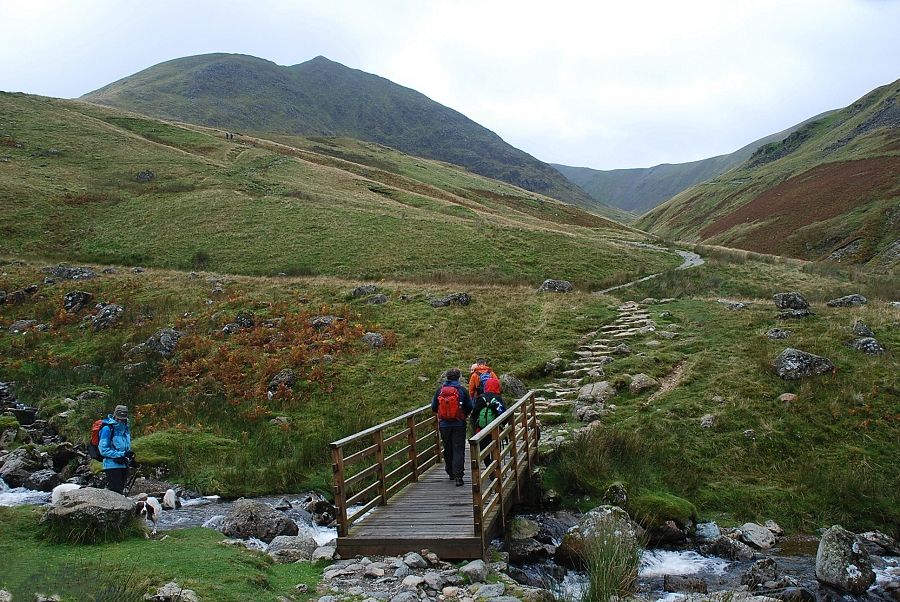 |
| Crossing Red Tarn Beck |
 |
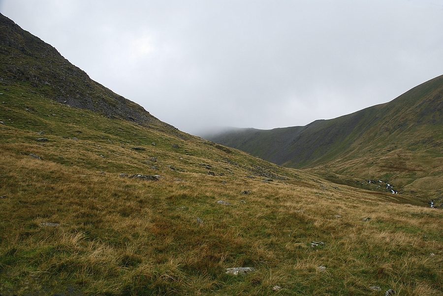
| Looking back from the Red Tarn path |
 |
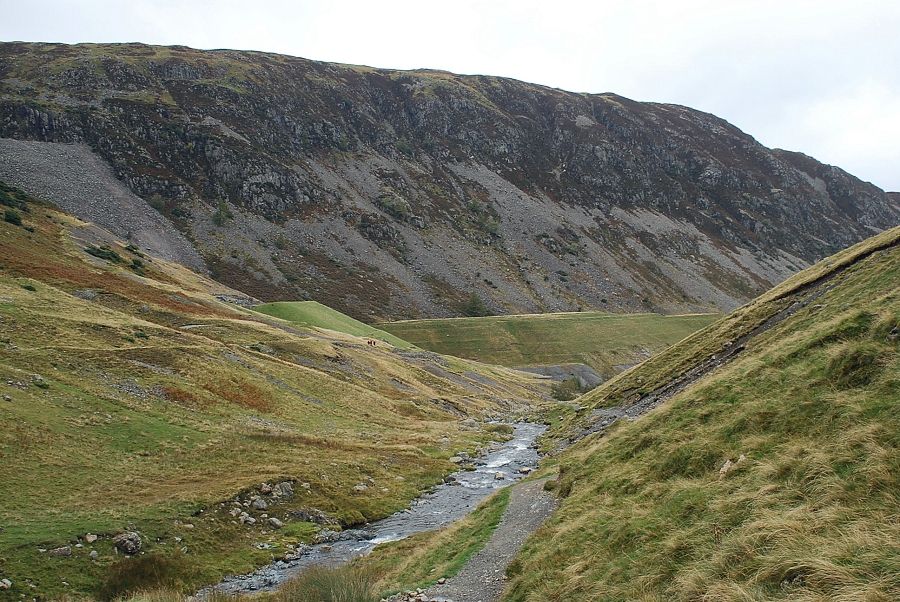
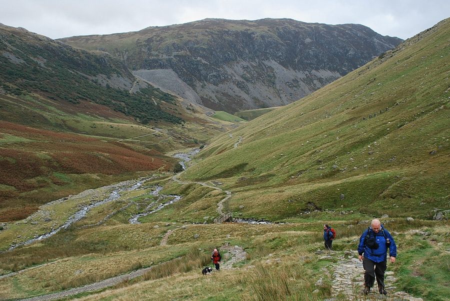
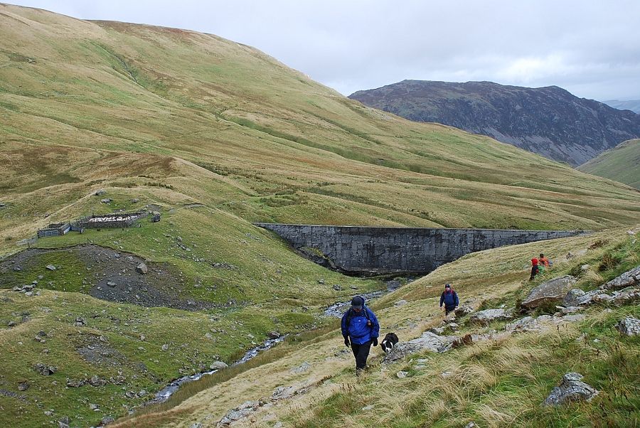
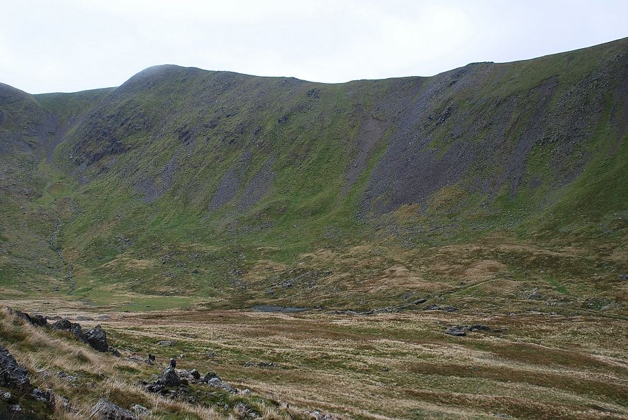
| A heavy rain shower sweeps across Keppel Cove as we follow the old water leat towards the dam. The leat was constructed in 1890 by the Greenside Mining Company to convey water from Keppel Cove Tarn to a header tank on the slopes of Birkhouse Moor, piping the water from there to a hydro-electric plant -The Top Power House - near the confluence of Red Tarn and Keppel Cove becks roughly where the sheepfold is located. The course of the pipeline is clearly marked on the 1:25,000 OS map - Old Pipe Line (not path) |
 |
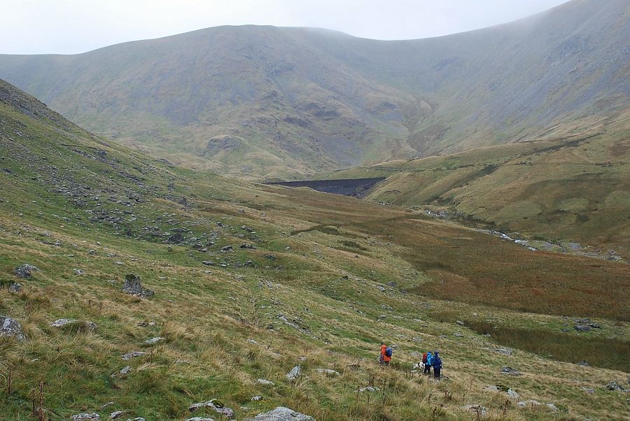
| The Keppel Cove dam embankment. In 1927 a fierce storm washed away part of the embankment releasing the waters of the tarn, a great flood swept down the valley to Ullswater causing severe damage to properties in Glenridding. The mining company replaced the dam with a new concrete one. Disaster almost struck again when the new dam was partially breached in 1931 due to its poor construction. It was never repaired and now all that remains of the former tarn is a boggy marsh |
 |
| Looking back down the valley from Keppel Cove dam |
 |
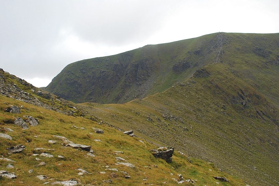
| From the dam the vaguest of paths leads towards the foot of Catstycam's steep north-west ridge. From here the ridge appears to rise in a series of rock steps which may suggest the origin of the fell's name - the steep ridge of the wildcat's ladder/path. Our route crosses over the base of the ridge to climb a more open slope on the other side before traversing back towards the crest |
 |
| Looking back to the concrete dam, the breach can be seen on its left side |
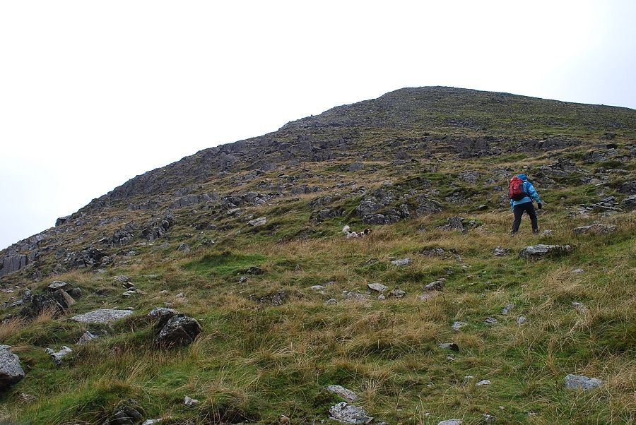 |
| Kate leads the way up the north-west ridge. There is little evidence of a path at first, but one becomes clear higher up near the rocky slope on the left |
 |
| Swirral Edge fom the bottom of the north-west ridge |
 |
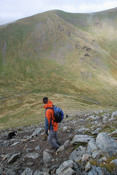
| Brown Cove and Helvellyn Lower Man from the start of the climb up the north-west ridge |
 |
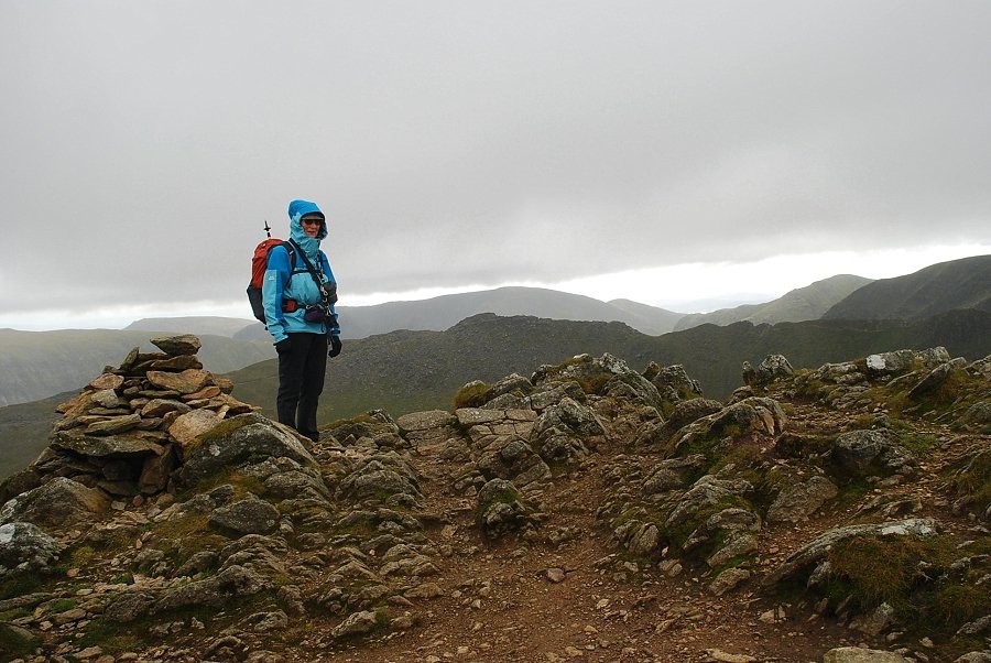
| Time to zip up as the wind was steadily increasing in strength and the rain showers were becoming more frequent |
 |
| Catherine, Peter and Dave climbing the lower part of the ridge above Kepple Cove Tarn. It's an 1100' climb to the summit from the dam |
 |
| Kate, Jasper, and Conor on the "cat's ladder" |
 |
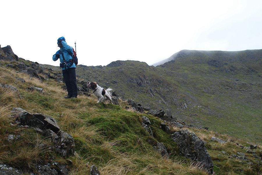
| Colin looks back to Keppel Cove |
 |
| Higher on the ridge Ullswater comes into view |
 |
| The weather begins to show signs of improving as sunshine highlights the steep east ridge of White Side above Keppel Cove |
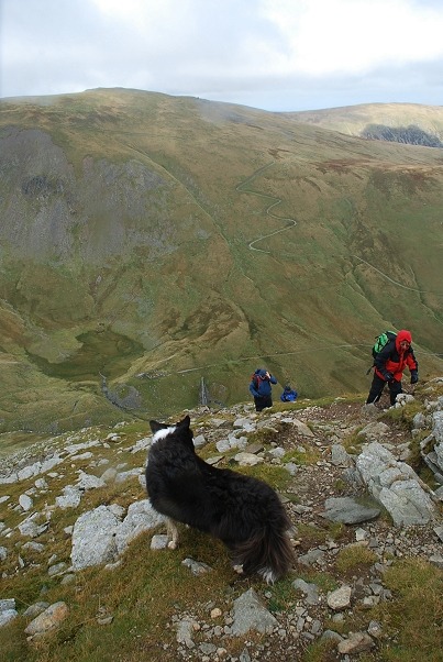 |
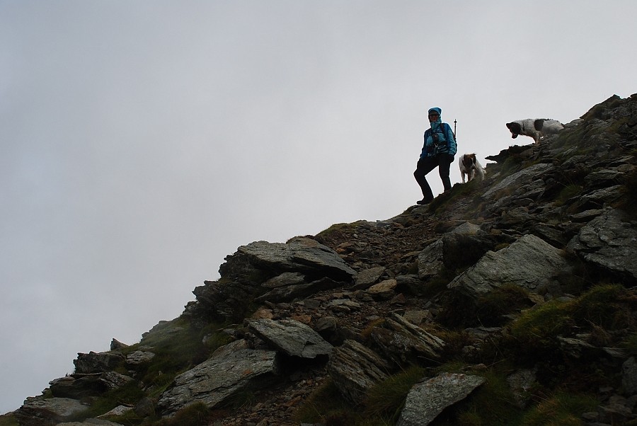
| Lexi, Catherine, Dave and Peter midway on the ridge |
 |
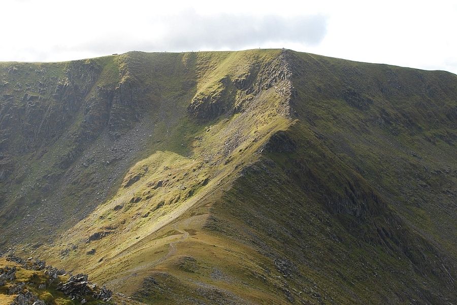
| Looking over to Helvellyn and Swirral Edge |
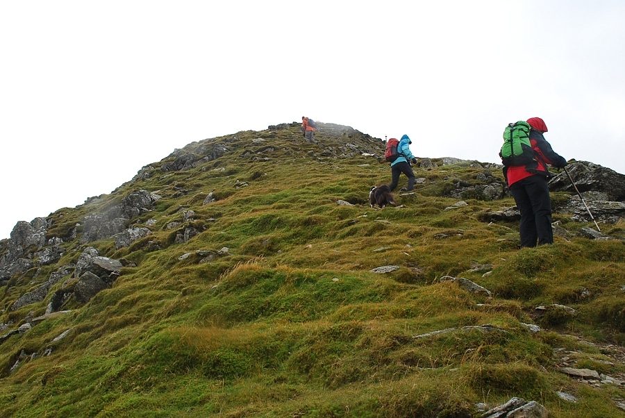 |
| Colin, Kate and Catherine on the final steep rise to the summit |
 |
| Dave and Peter just below the summit. The zig-zag path on the slopes of Raise will be our return route |
 |
| The summit of Catstycam |
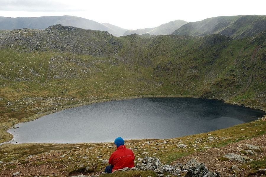 |
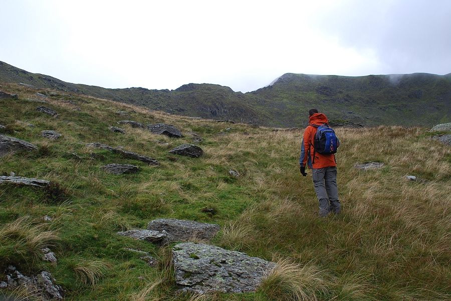
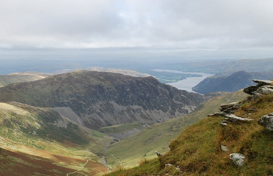
| Red Tarn and Striding Edge from the summit. Our original plan was to descend to the tarn and traverse Striding Edge to the summit of Helvellyn but we decided the strong wind would have made that too hazardous |
 |
| Instead Swirral Edge was a better proposition affording some shelter on its south side in lee of the wind |
 |
| We would return over Helvellyn Lower Man and White Side and descend the old pony track down to Glenridding Beck |
 |
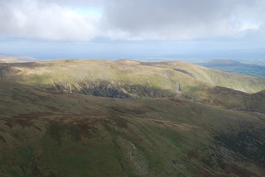
| Skiddaw over the White Side ~ Raise col. Our descent path starts from col directly above the headwall of Keppel Cove |
 |
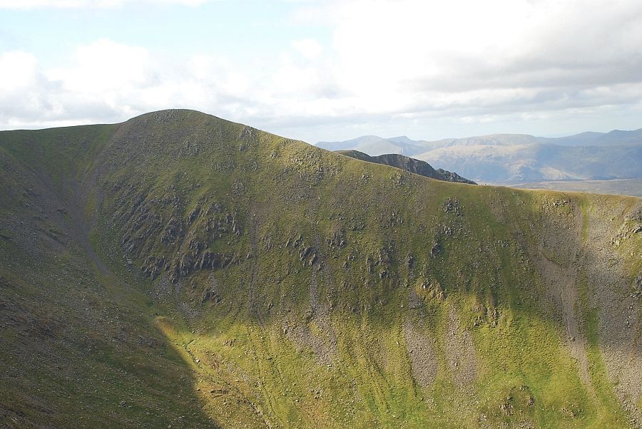
| Looking north to Greenside and Hart Side. The two crater-like features on the slopes of Greenside are not quarries as indicated on OS maps but are the result of "the big crush" a massive collapse in 1862 of two of the upper levels of the Greenside Lead Mine |
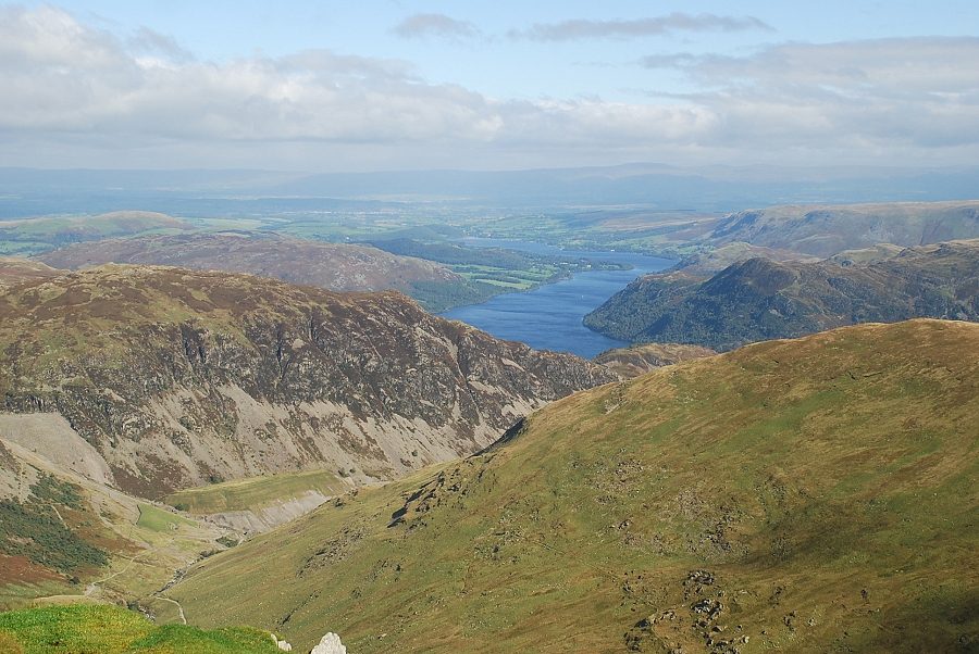 |
| Ullswater |
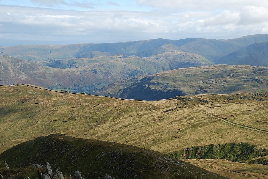 |
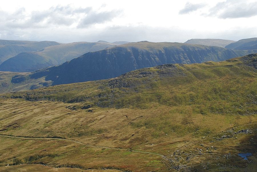
| The Far Eastern Fells on the horizon |
 |
| St. Sunday Crag over Low Spying How |
|