
| Catstycam - Route Two |
| Start - Glenridding NY 386 168 | Distance - 3.6 miles | Ascent - 2,430 feet | Time - 2 hours : 40 minutes |
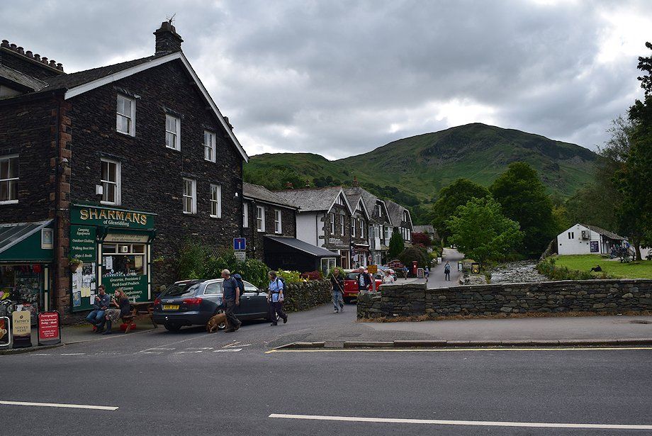 |
| As an alternative to the busy approach to Red Tarn and Catstycam from Glenridding via Greeenside Road, this walk starts along the village road on the south bank of Glenridding Beck. The road passes Glenridding Public Hall and Eagle Farm and becomes a bridle-track which leads to Gillside campsite |
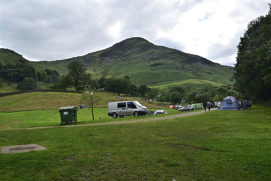 |
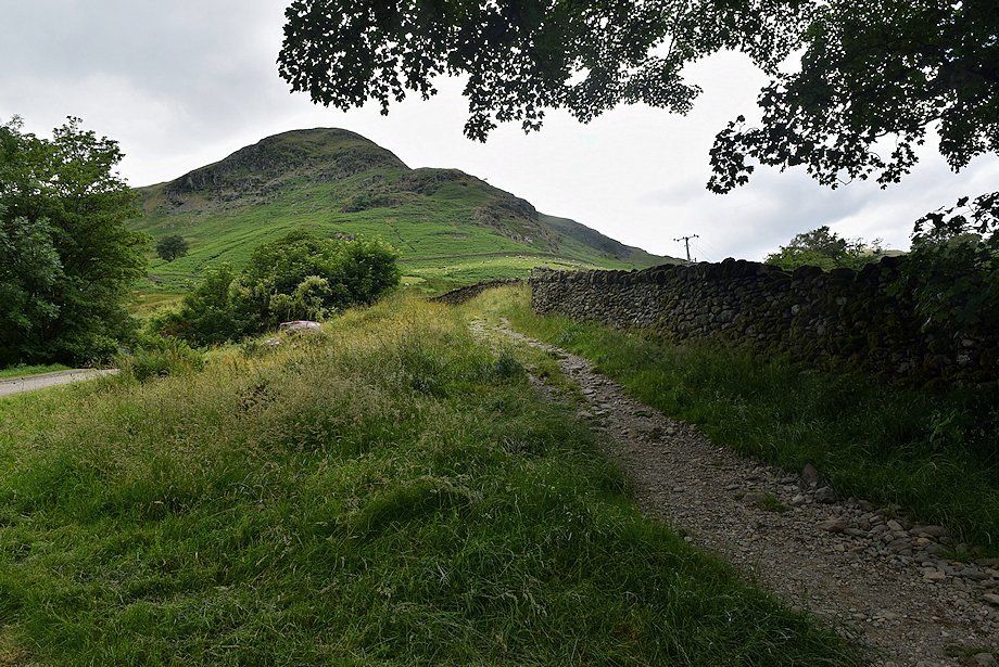
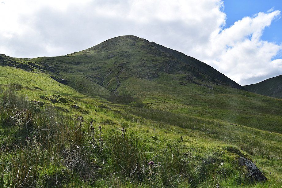
| Birkhouse Moor from the Gillside campsite |
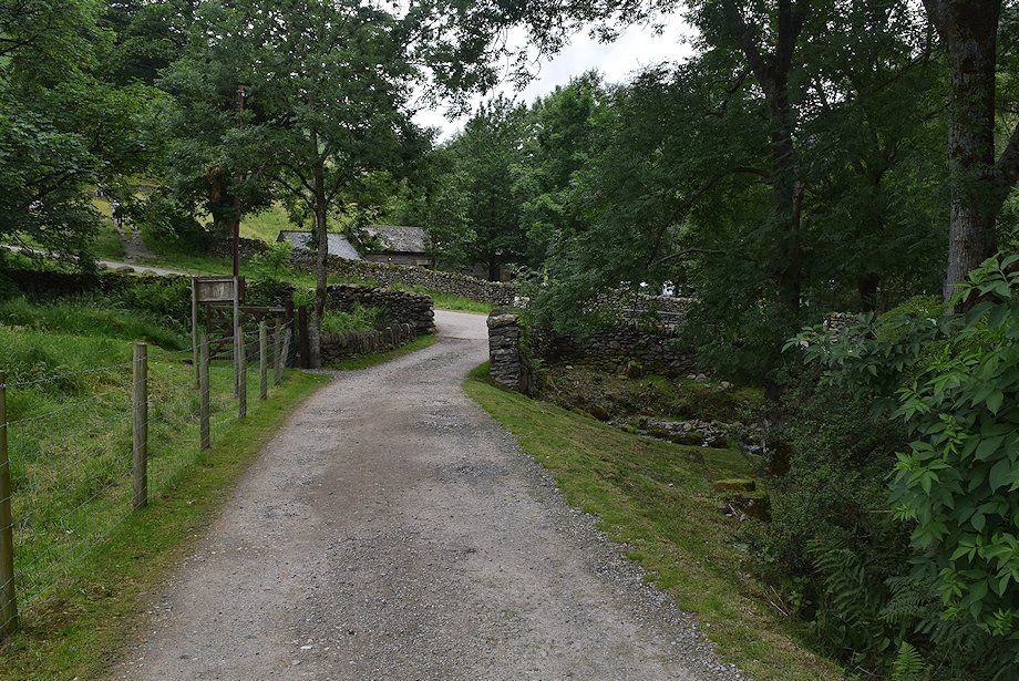 |
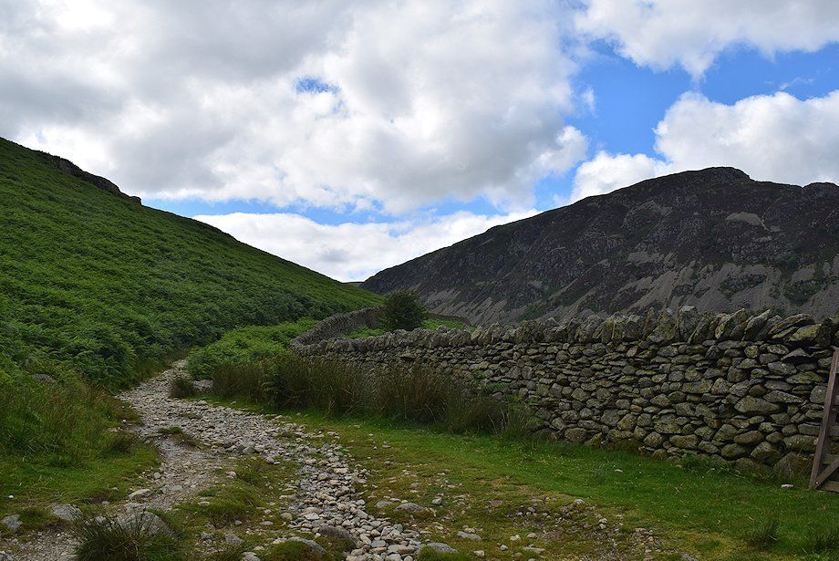
| The bridle-track joins a walled lane near Rattlebeck Bridge. The lane runs between Greenside Road and Miresbeck cottage |
 |
| Rattlebeck Bridge over Glenridding Beck |
 |
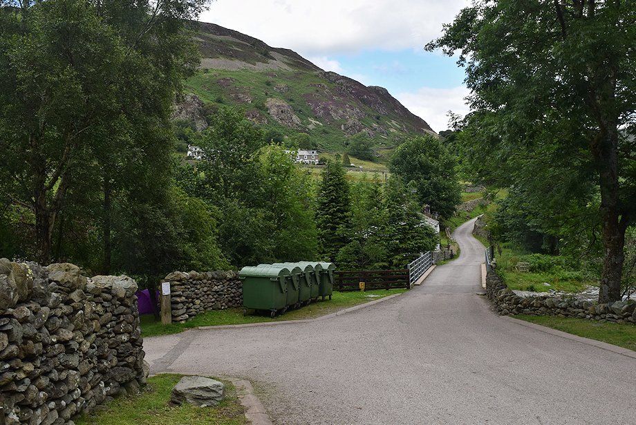
| Either continue on the lane to Miresbeck cottage, or take a shortcut path which follows the wall above the lane |
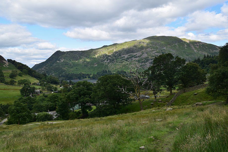 |
| Looking back towards Place Fell |
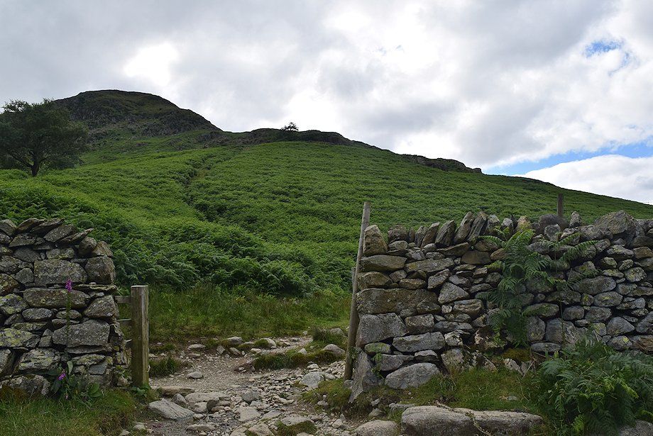 |
| Above Mireside cottage, a gate gives access to the open fellside below the steep north-east ridge of Birkhouse Moor |
 |
| Beyond the gate, the popular route to Striding Edge and Helvellyn via Mires Beck turns left |
 |
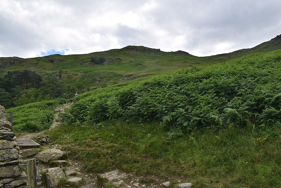
| The way ahead turns right from the gate, following the intake wall across the northern slopes of Birkhouse Moor |
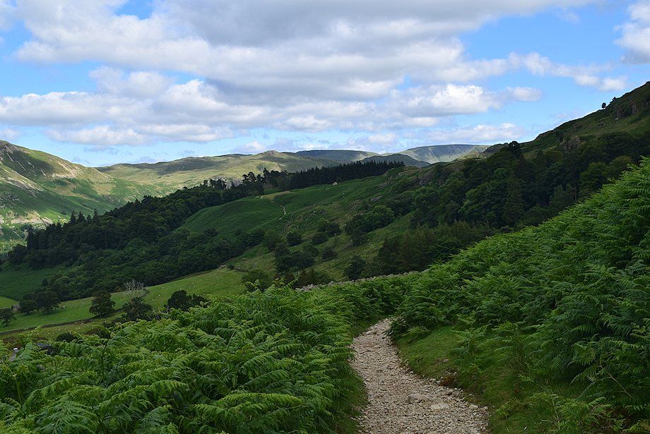 |
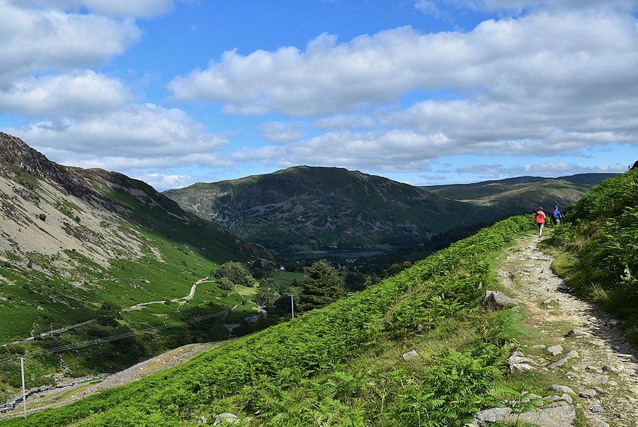
| Looking back, some of the far eastern fells appear over the wooded slopes of Keldas; High Raise, Angletarn Pikes, Rampsgill Head and High Street being prominent on the horizon |
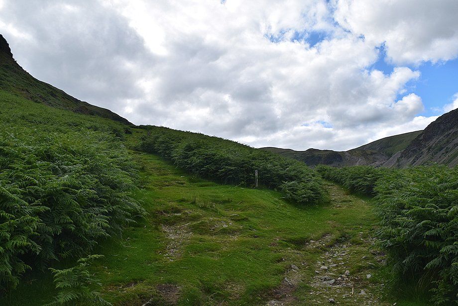 |
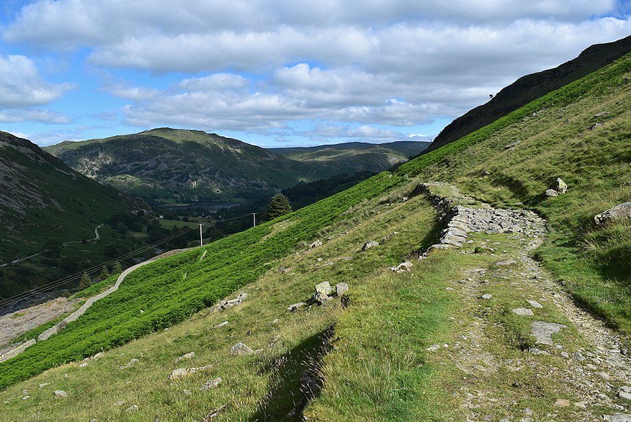
| A few hundred yards from the gate, a waymark post indicates the start of a path which climbs steeply to join the course of a disused water leat. While the main path continues on alongside the intake wall, the upper path has finer views. The paths eventually re-unite further along the valley |
 |
| Looking down the path to the disused water leat |
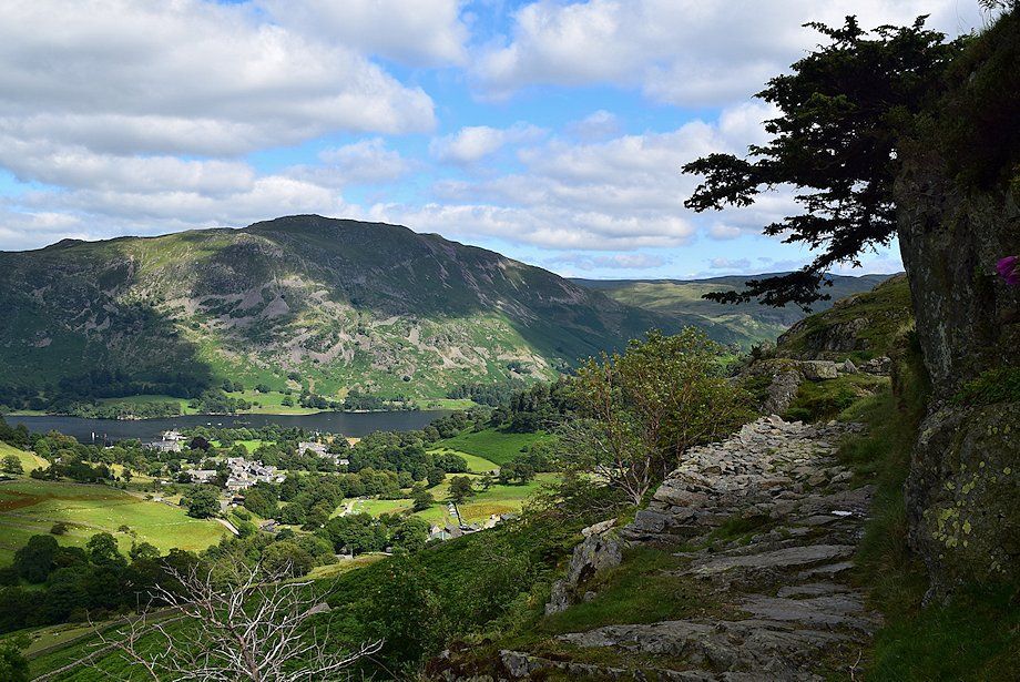 |
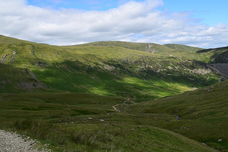
| Glenridding and Place Fell from the disused water leat |
 |
| Continuing on along the disused water leat path which crosses two footbridges over Bleacove Beck |
 |
| Looking back along the course of the disused water leat |
 |
| Stang and Green Side from the disused leat path |
 |
| Glenridding Dodd from the disused leat path |
 |
| The first footbridge over Bleacove Beck |
 |
| The second footbridge over Bleacove Beck |
 |
| Looking back to the north-east ridge of Birkhouse Moor |
 |
| Looking back to Place Fell from the disused leat path |
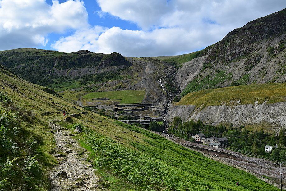 |
| Passing the Helvellyn Youth Hostel |
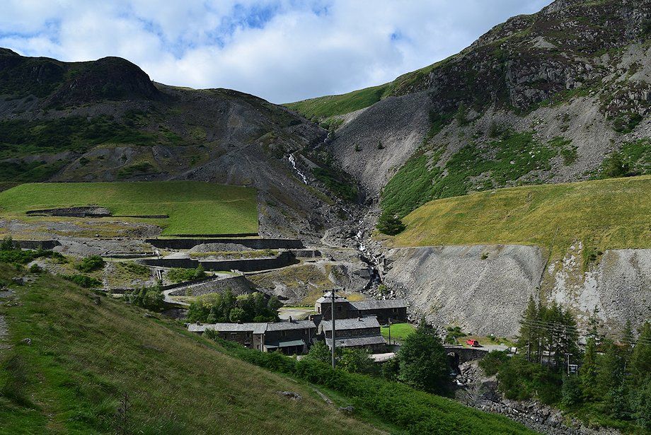 |
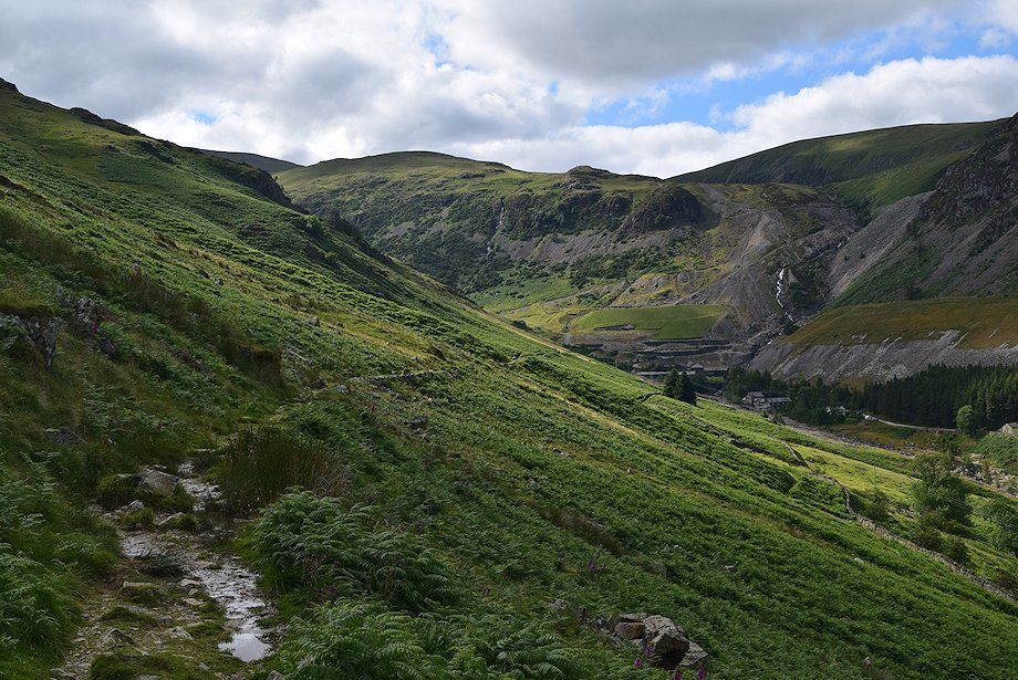
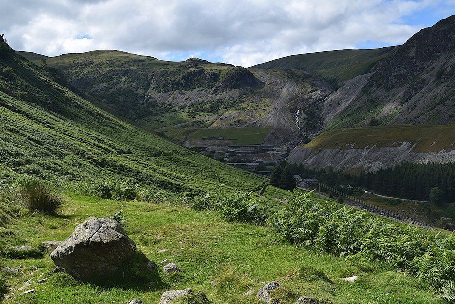
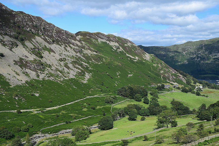
| The remains of the old Greenside Lead Mine. Several of the former mine buildings have been converted into an outdoor study centre and bunkhouses |
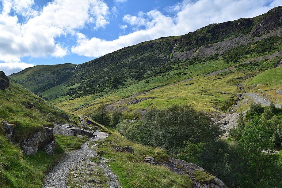 |
| As the path turns to the south-west it's joined by the Greenside Road path which crosses a footbridge over Glenridding Beck |
 |
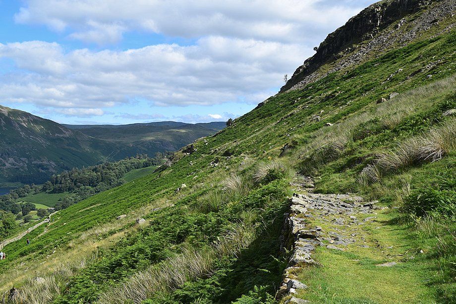
| Looking back along the disused water leat path |
 |
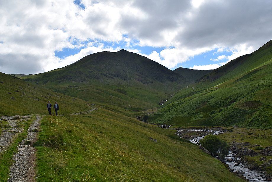
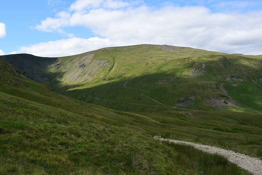
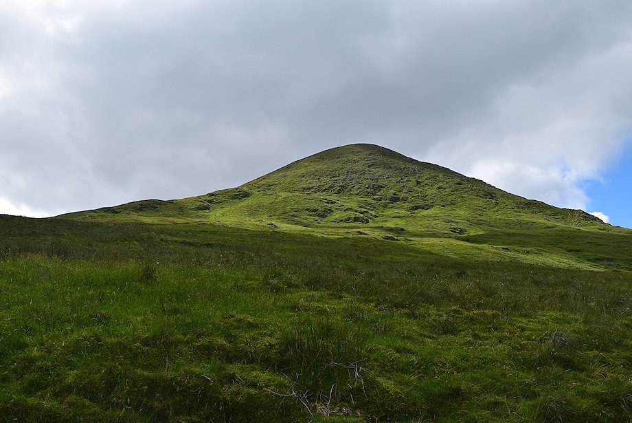
| Catstycam comes into view for the first time as the path follows the course of Glenridding Beck |
 |
| Catstycam with Helvellyn Lower Man to the right |
 |
| Looking back towards Sheffield Pike |
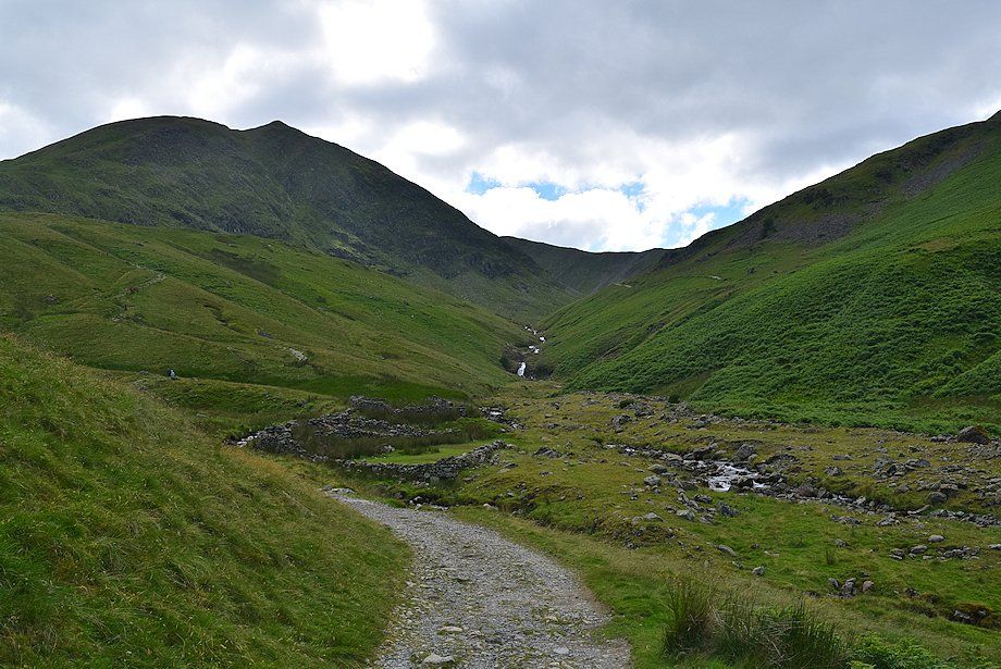 |
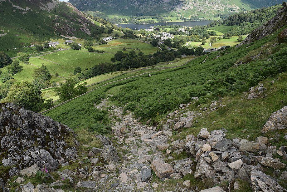
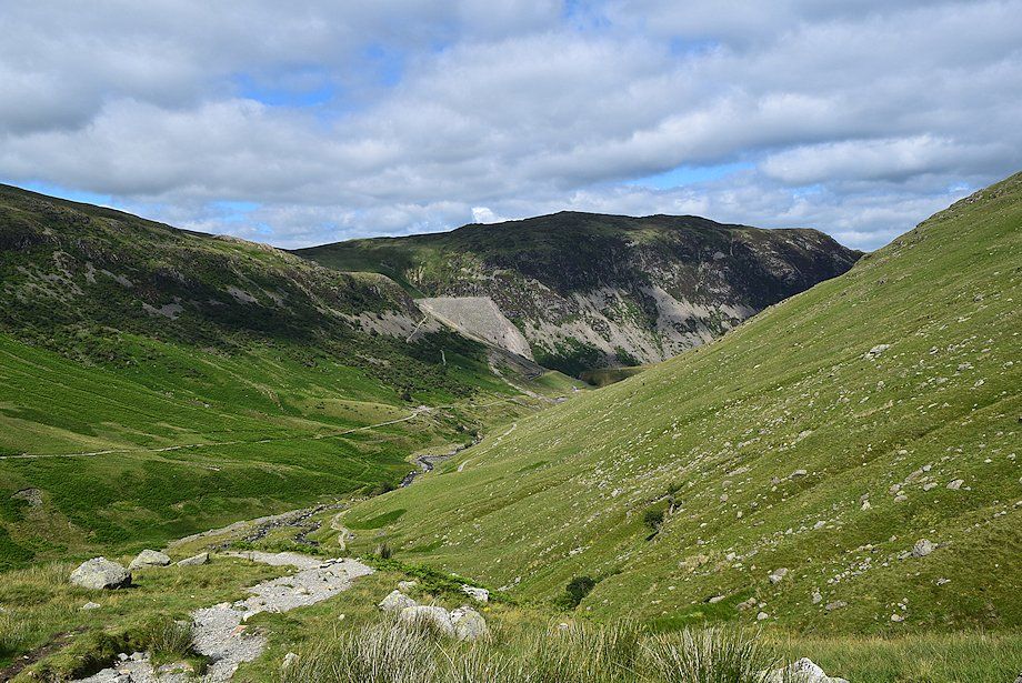
| Approaching the sheepfold near the confluence of Red Tarn Beck and Glenridding Beck which Wainwright noted in his diagram of this ascent |
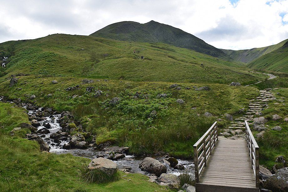 |
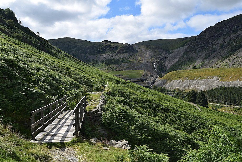
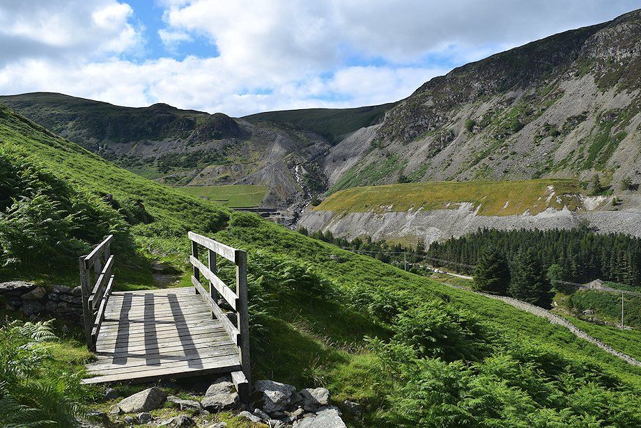
| The footbridge over Red Tarn Beck |
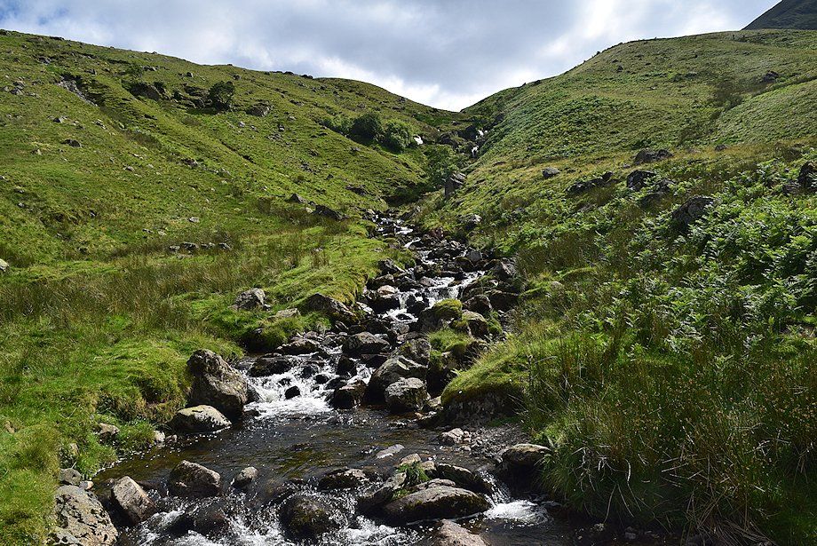 |
| Red Tarn Beck from the footbridge |
 |
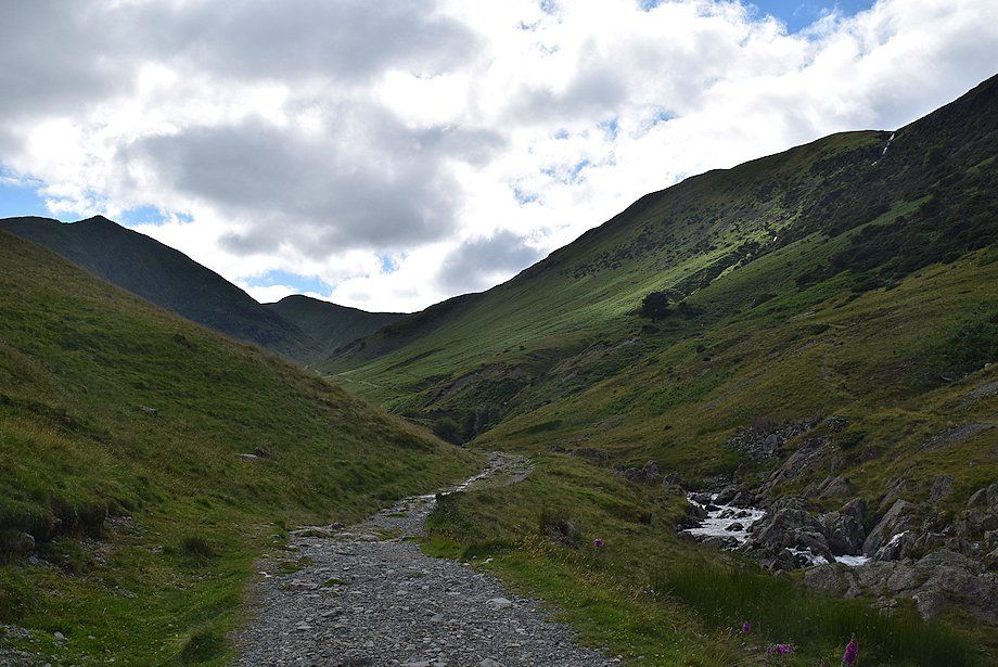
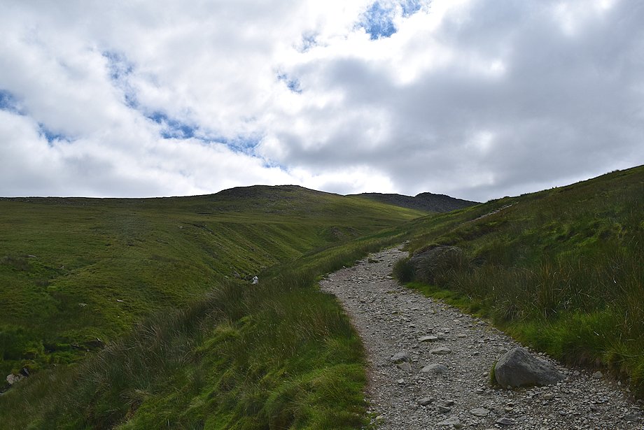
| From the footbridge the path climbs steeply to Red Tarn by following the west bank of Red Tarn Beck |
 |
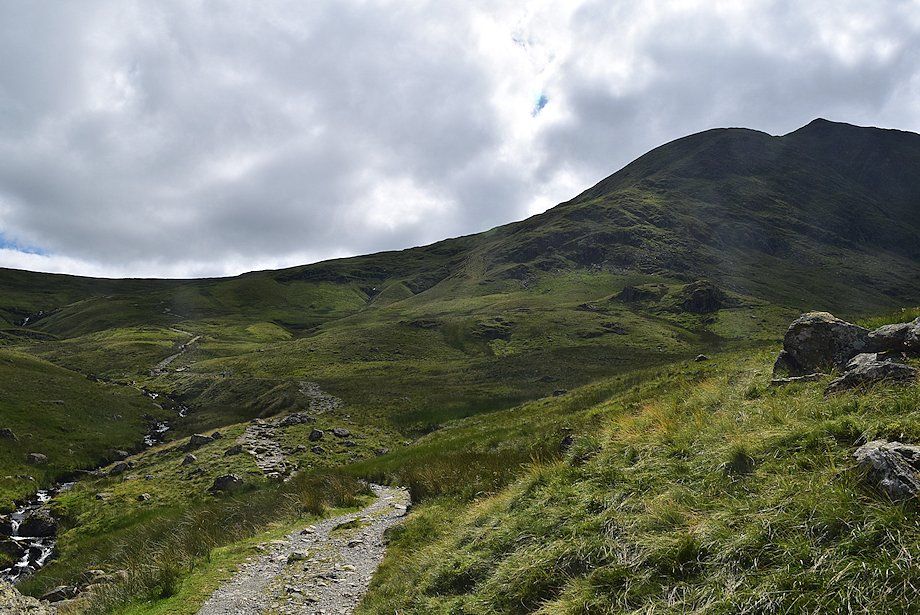
| Looking back to Sheffield Pike from the path to Red Tarn |
 |
| The north face of Catstycam from the path to Red Tarn |
 |
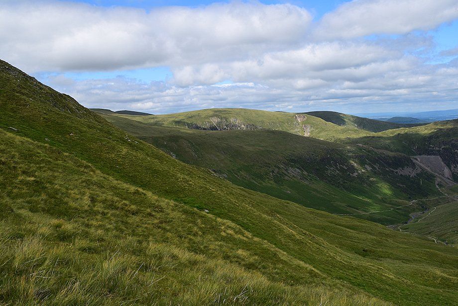
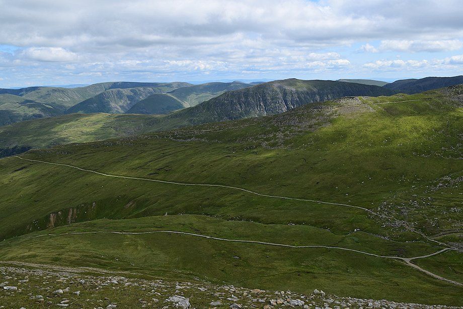
| Looking back to Green Side above Stang with Birkett Fell on the right |
 |
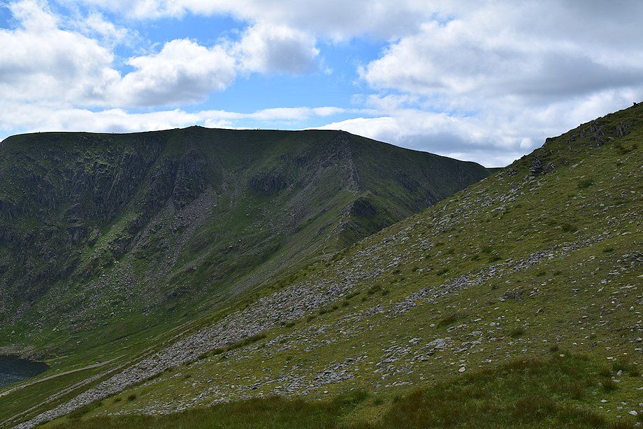
| Looking over to Raise with the summit of White Side on the left |
 |
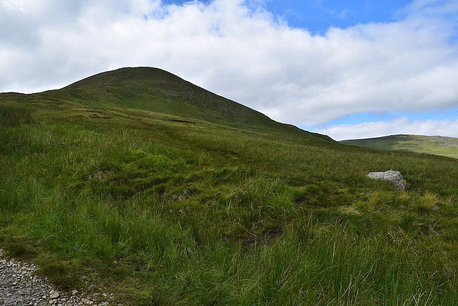
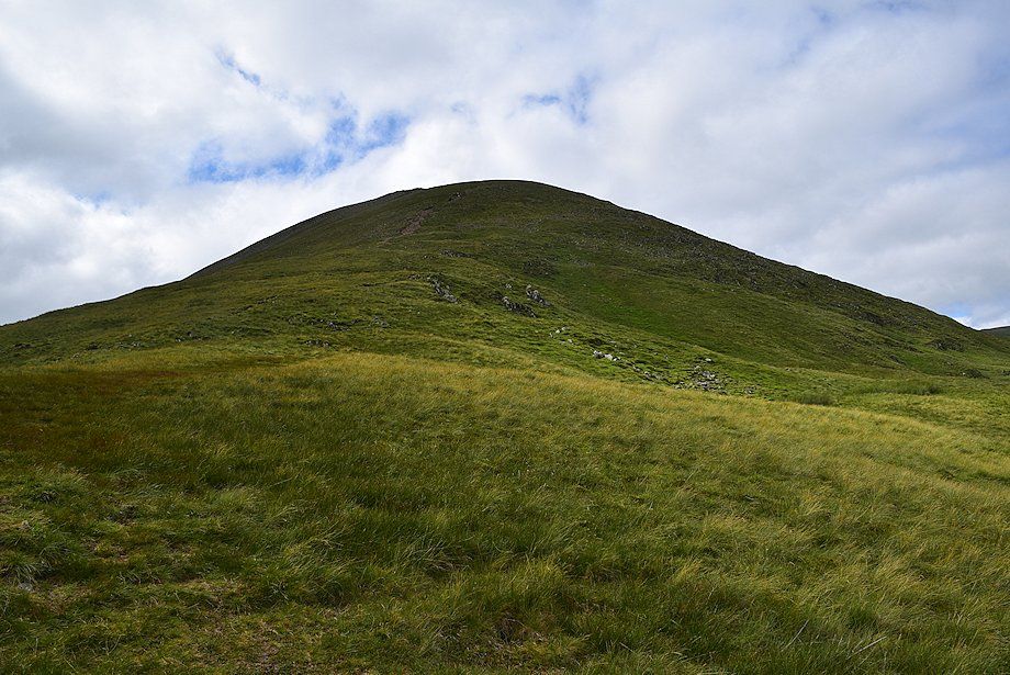
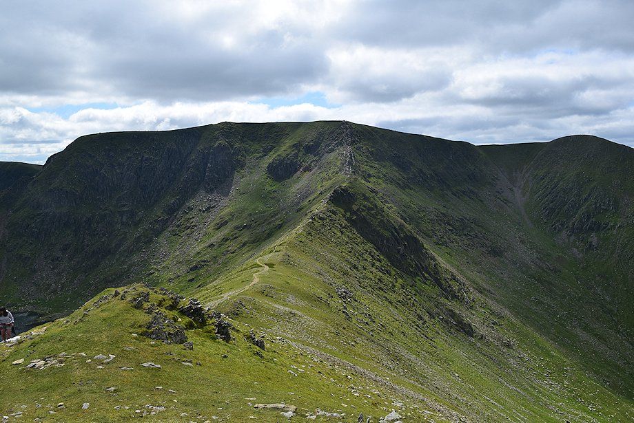
| The east shoulder of Catstycam from the Red Tarn path. The climb to the summit follows the left edge |
 |
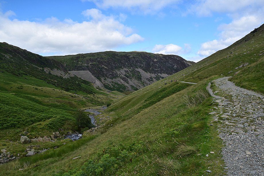
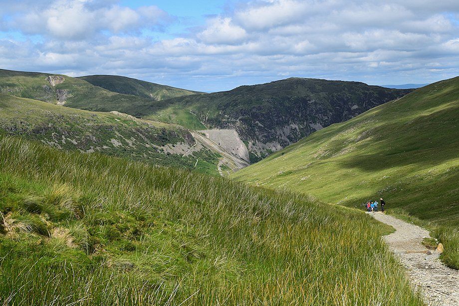
| Low Spying How and High Spying How, the start of Striding Edge, come into view as the gradient of the path begins to ease |
 |
| A solitary boulder helps to locate the start of the path up to the east shoulder of Catstycam |
 |
| Looking back to Sheffield Pike and Birkett Fell from the start of the path up to the east shoulder of Catstycam |
 |
| The path is very faint over the lower grassy slopes of the east shoulder but improves as height is gained |
 |
| Looking over Stang to Green Side and Birkett Fell from the climb up to the east shoulder |
 |
| The upper part of the east shoulder |
 |
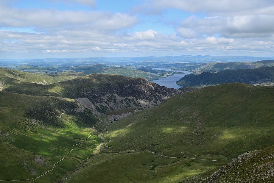
| Ullswater comes into view between Sheffield Pike and Birkhouse Moor |
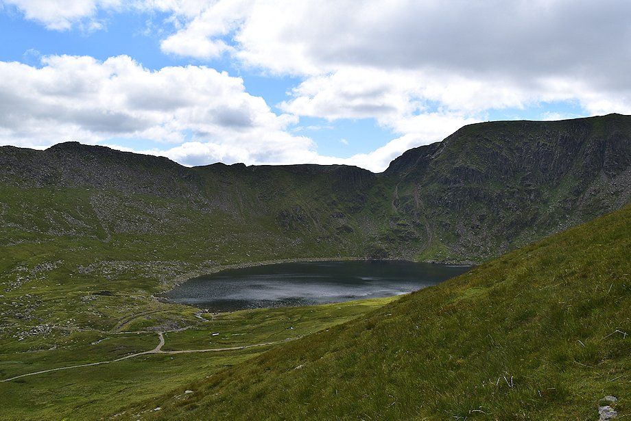 |
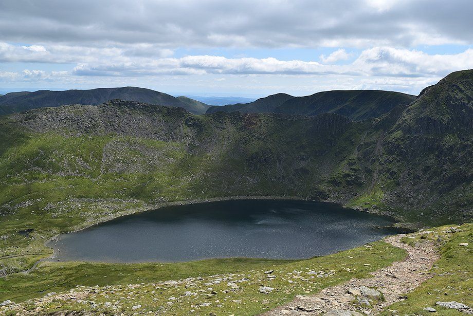
| Red Tarn below Striding Edge and Helvellyn |
 |
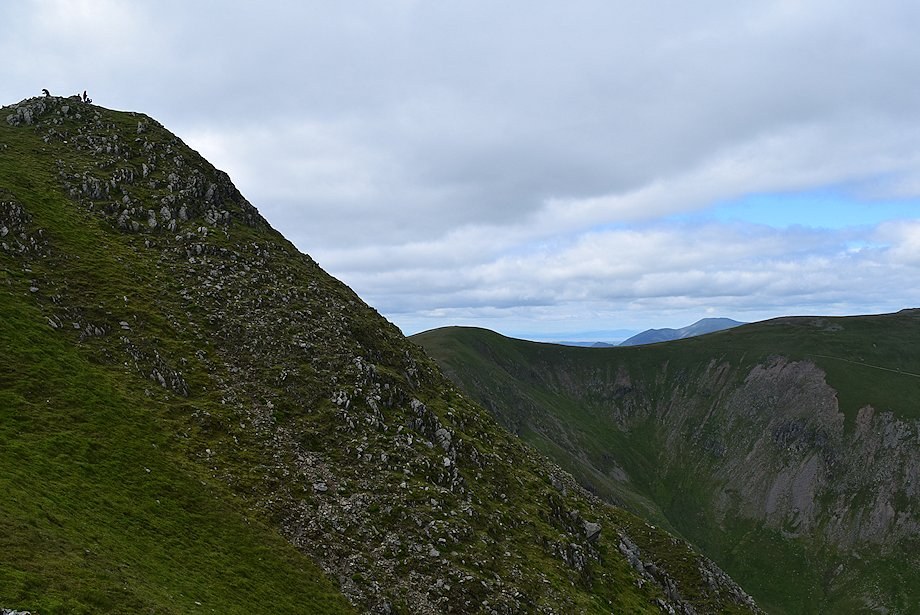
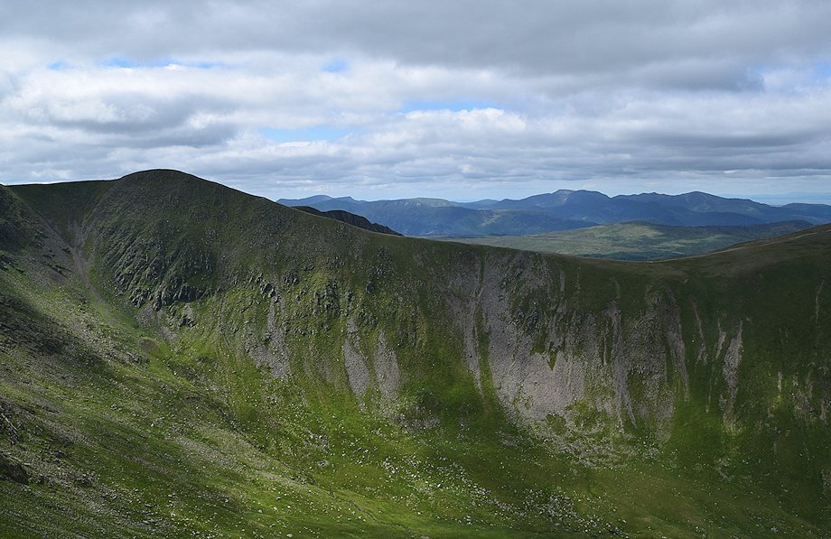
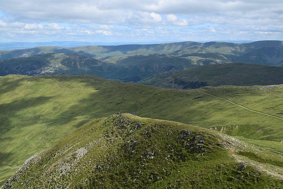
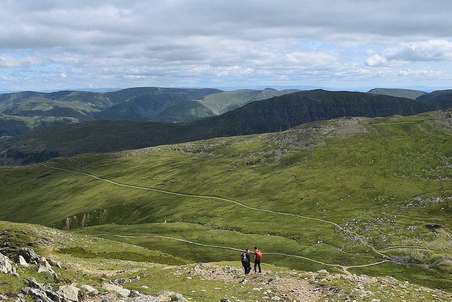
| Looking back from near the top of the east shoulder |
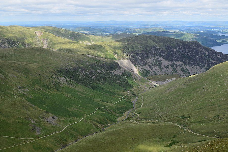 |
| Looking down to the valley of Glenridding Beck from near the top of the east shoulder |
 |
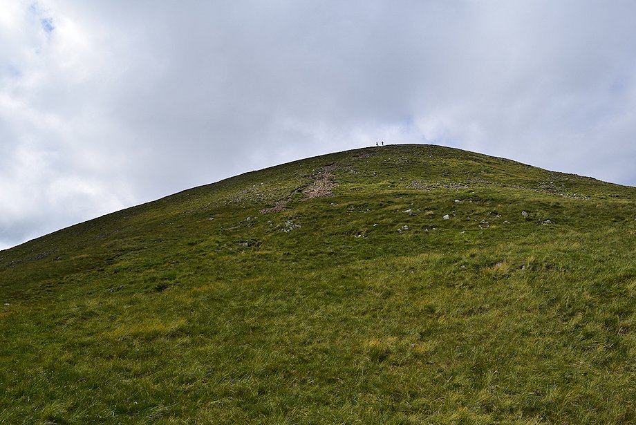
| Approaching the top of the east shoulder, the summit of Catstycam appears in the centre |
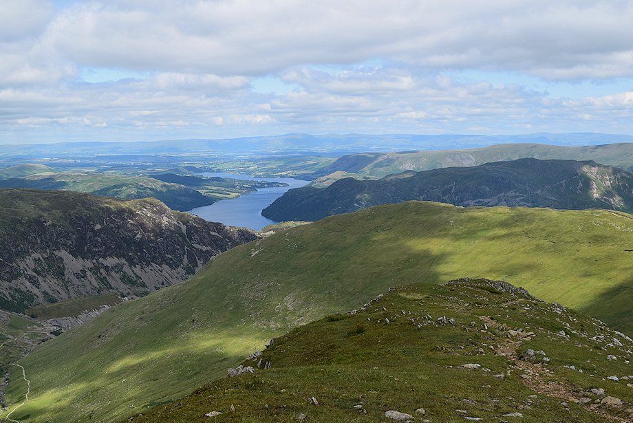 |
| Ullswater from the top of the east shoulder |
 |
| St. Sunday Crag over Low Spying How from the top of the east shoulder |
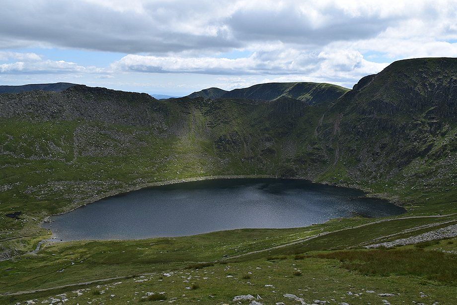 |
| Red Tarn from the top of the east shoulder |
 |
| Helvellyn and Swirral Edge from the top of the east shoulder |
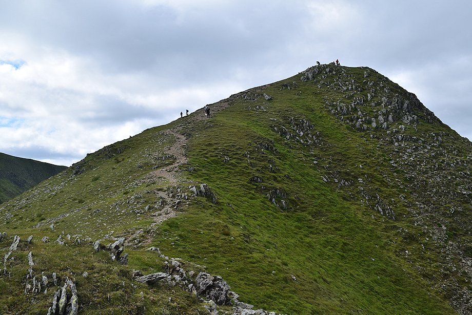 |
| The summit of Catstycam from the top of the east shoulder |
 |
| Skiddaw appears over the col between White Side and Raise |
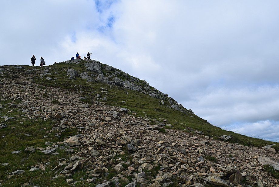 |
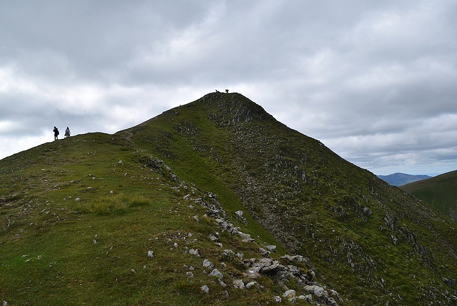
| Approaching the summit of Catstycam |
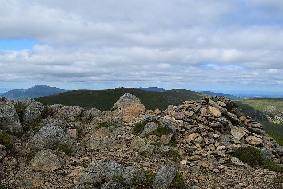 |
| The summit cairn on Catstycam |
 |
| Helvellyn and Swirral Edge from the summit of Catstycam |
 |
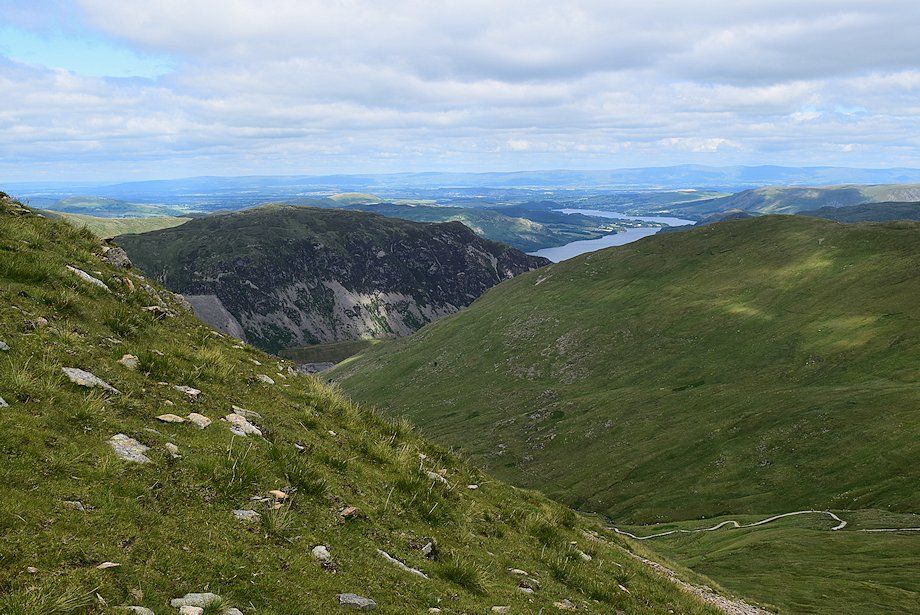
| Helvellyn Lower Man across Brown Cove. High Stile, Robinson, Great Borne, Whiteless Pike, Wandope, Grasmoor, Eel Crag, Hopegill Head, Grisedale Pike and Whinlatter form the horizon over the Lower Man ~ White Side col |
 |
| White Side and Raise above Keppel Cove, the two walkers have just completed their ascent of Catstycam's north-west ridge |
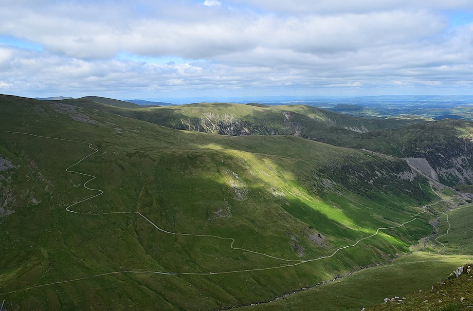 |
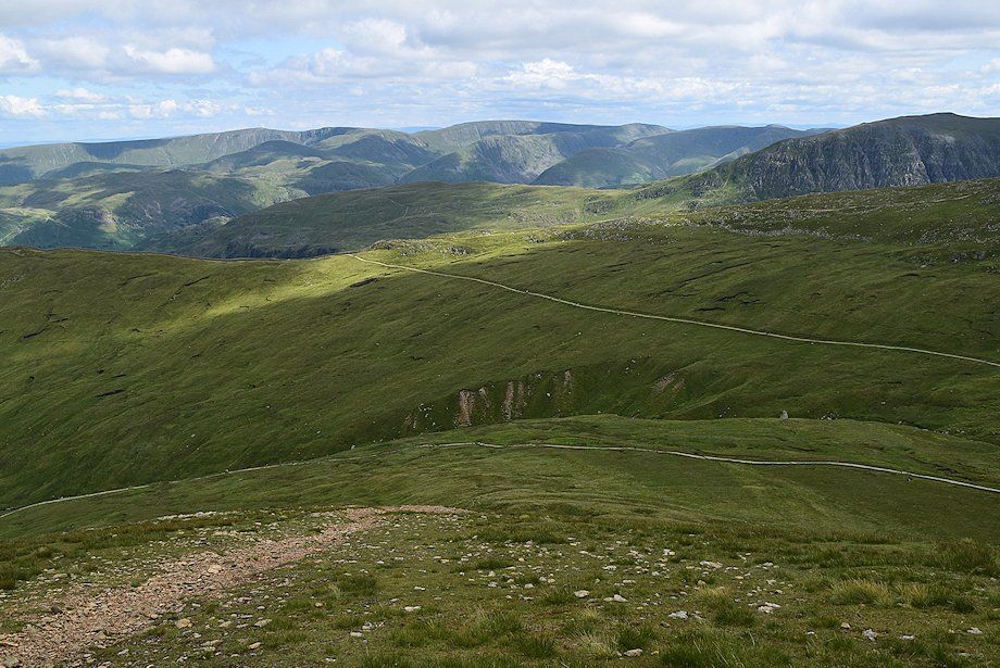
| The old pony route from Glenridding winds its way across the slopes of Raise. In the centre, sunlight highlights the summits of Green Side and Birker Fell on Hart Side. To the left, distant Blencathra and Carrock Fell flank the shadowed summits of Stybarrow Dodd and Great Dodd |
 |
| Ullswater from the summit of Catstycam |
 |
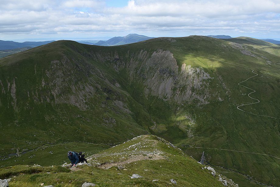
| Looking down onto the top of the east shoulder from the summit of Catstycam |
 |
| High Raise, Rampsgill Head, High Street, Thornthwaite Crag, Caudale Moor, Ill Bell, Yoke, St. Sunday Crag, Red Screes and Dove Crag on the horizon. The walkers are descending the path to the east shoulder |
 |
| Red Tarn and Striding Edge from the summit of Catstycam |
|