 |
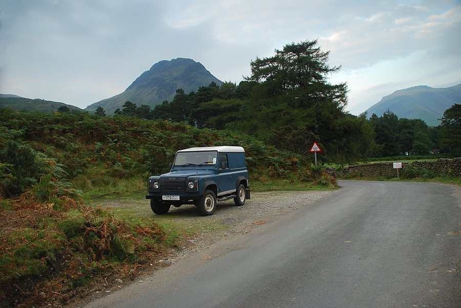
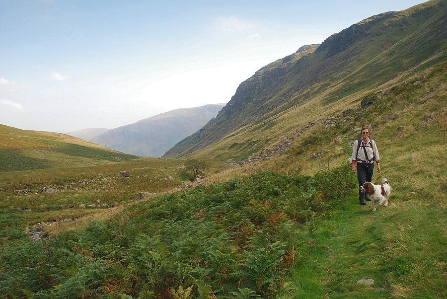
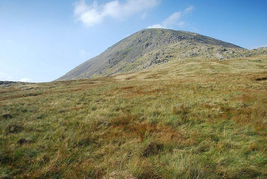
| Yewbarrow from the start of the walk near Netherbeck Bridge |
 |
| We start directly from the bridge, following Nether Beck for a short distance, before joining the bridleway path which actually starts from the roadside five hundred yards to the south-west of Netherbeck Bridge |
 |
| Looking back to Illgill Head and Whin Rigg from the bridleway path which initially runs high above a deep, tree lined, ravine |
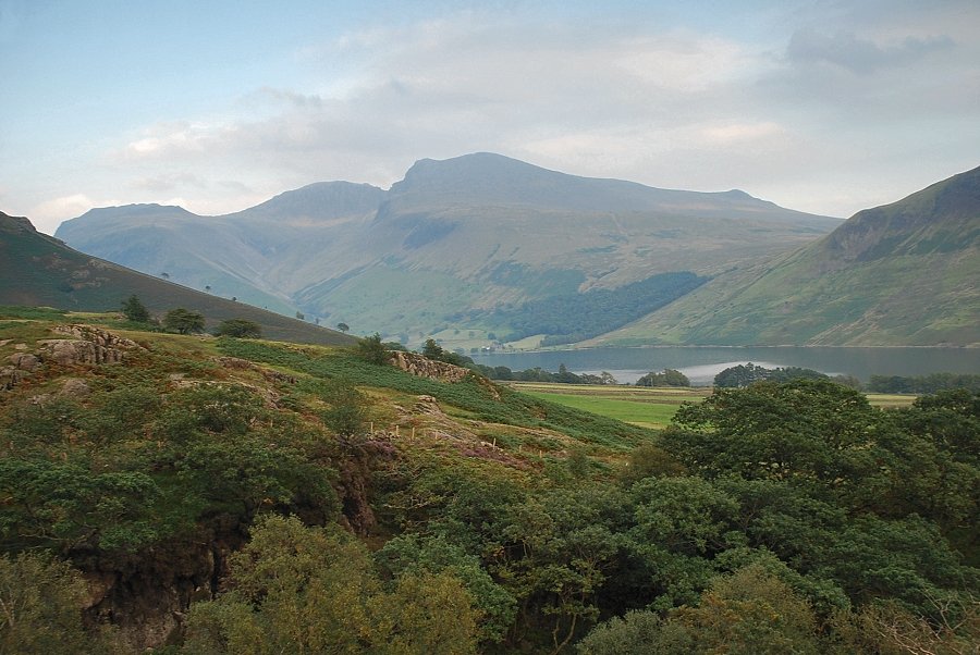 |
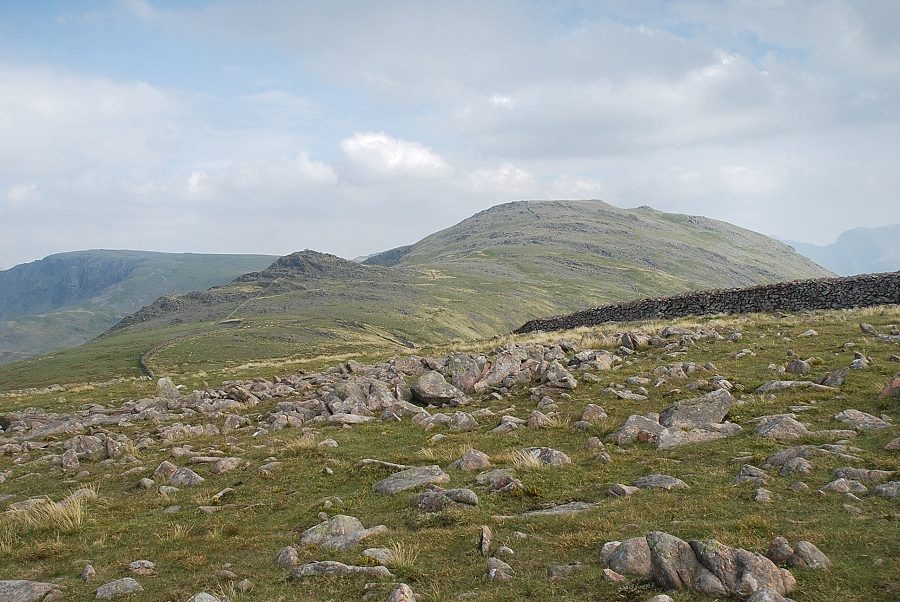
| The Scafells and Wastwater from the bridleway |
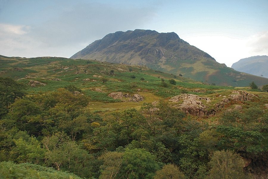 |
| Yewbarrow from the bridleway above Nether Beck |
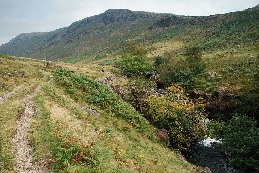 |
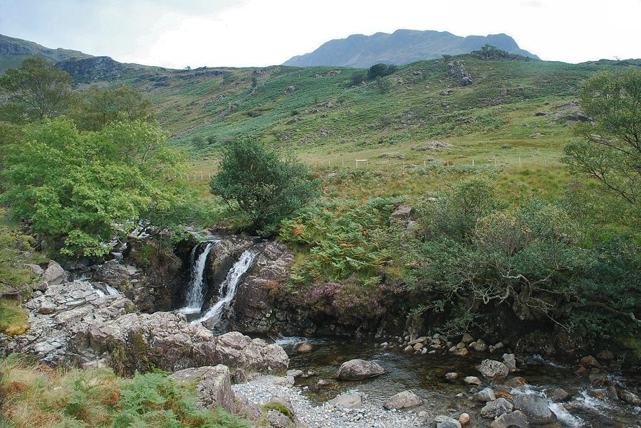
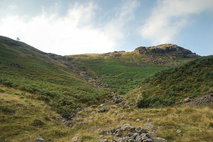
| Above the ravine the bridleway passes a series of deep pools and waterfalls below Knott Ends |
 |
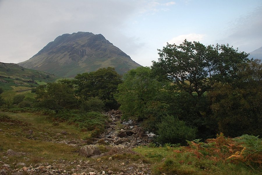
| Yewbarrow above Knott Ends |
 |
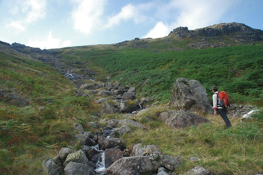
| After a long stretch of fairly level walking the path begins to climb more steeply to a col below the prominent top of Stool on Blackbeck Knotts |
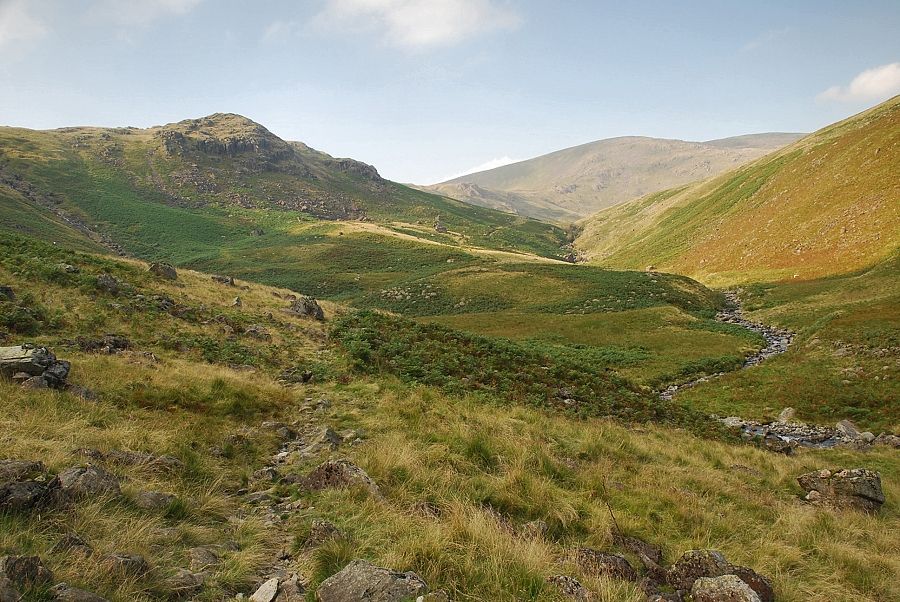 |
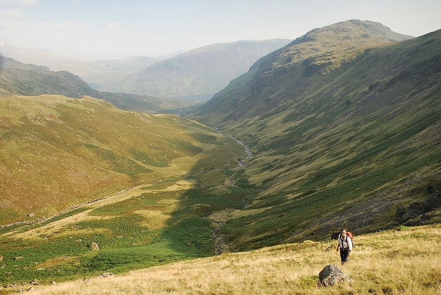
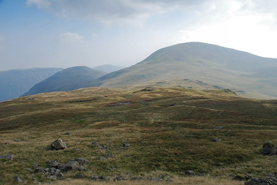
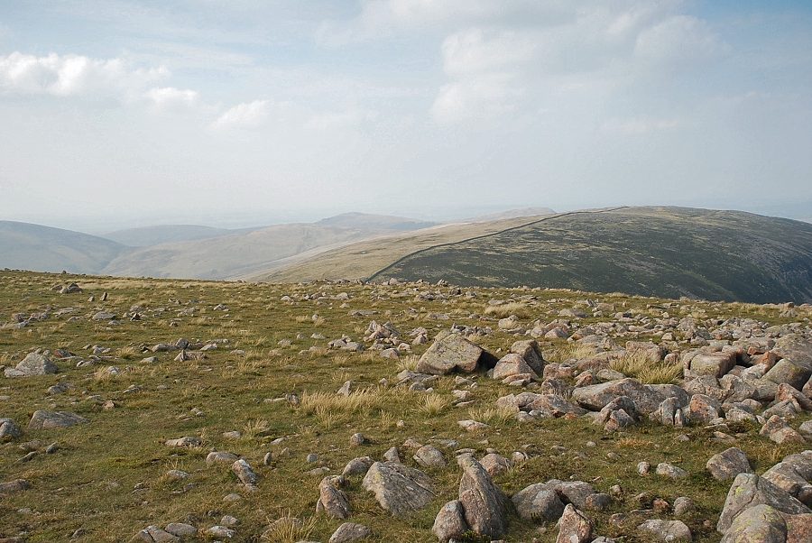
| On gaining the col the view opens out over the middle reaches of the Nether Beck to Great Scoat Fell at the head of the valley with Great Lad Crag on the left |
 |
| Looking back along the path below the steep slopes of Middle Fell |
 |
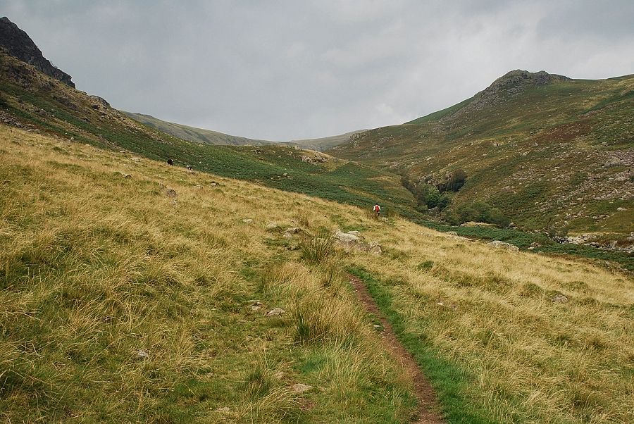
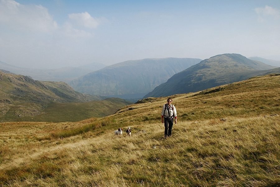
| Great Lad Crag from the ford over Ladcrag Beck, almost time now to leave the bridleway and climb the slope towards the low point on the skyline |
 |
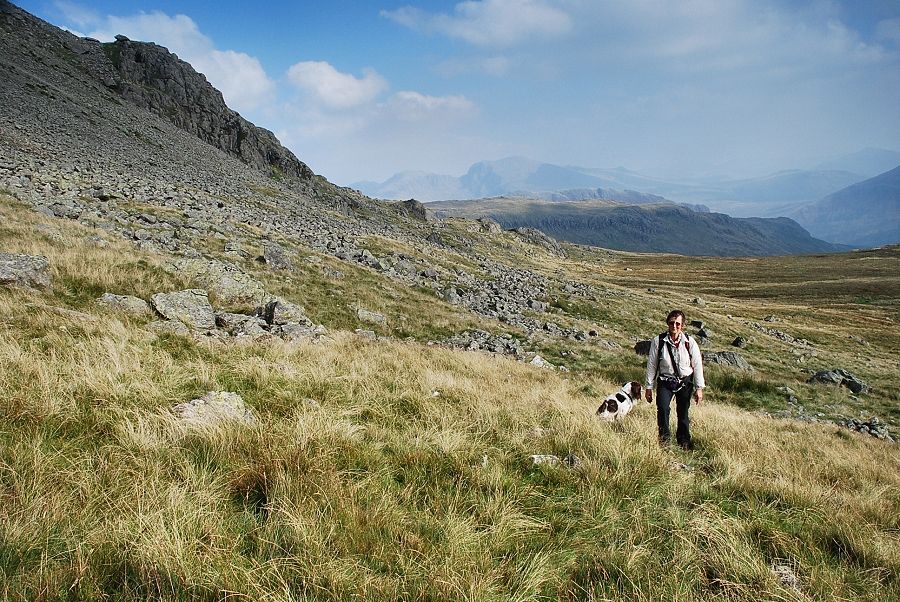
| There is a path somewhere on the right amongst the bracken but it can be difficult to locate its start. We elect to ascend close to the course of Ladcrag Beck, crossing and recrossing several times on the way to avoid the large rocks on the banks |
 |
| Looking down to the lower part of the Nether Beck Valley from the slope above Ladcrag Beck |
 |
| Haycock from the open grass slope above Great Lad Crag |
 |
| Looking back as we traverse the slopes above Waver Beck, the top of Great Lad Crag can be seen in the centre of the photo |
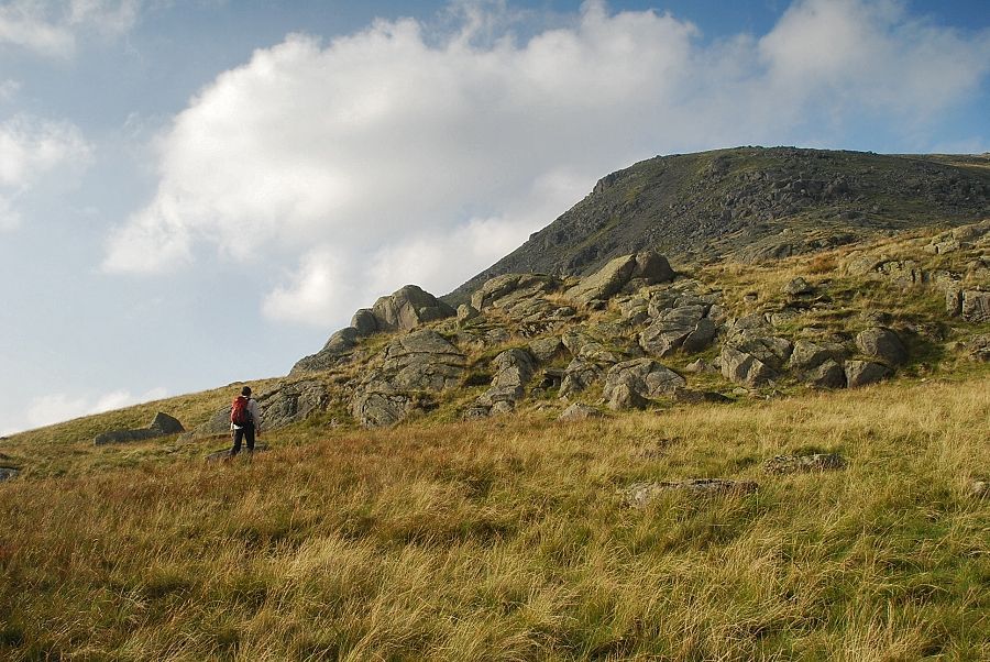 |
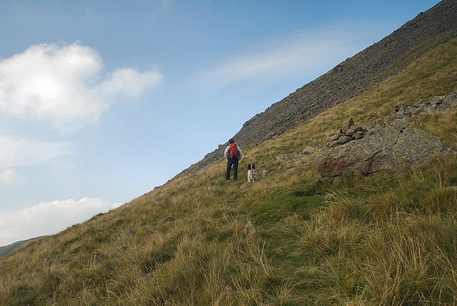
| Passing below the lowest rocks on Haycock's south ridge |
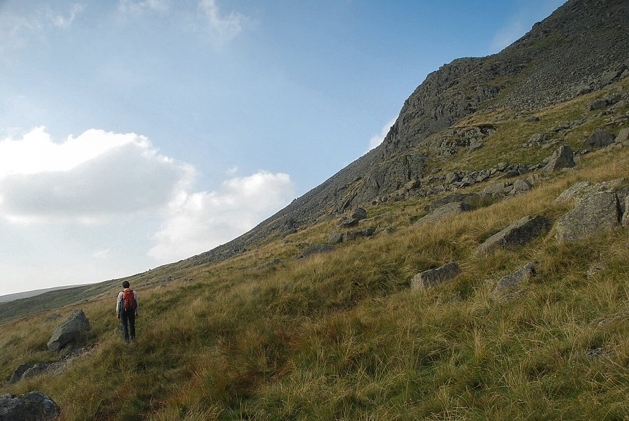 |
| We begin to traverse across the south western slopes of Haycock passing below Gowder Crag seen here on the right |
 |
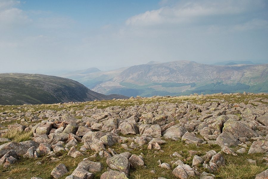
| Seatallan across Pots of Ashness |
 |
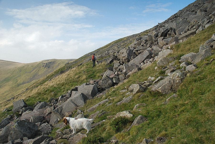
| There is only a slight trace of a path which is marked by cairns among the boulder fields that become more evident after passing Gowder Crag |
 |
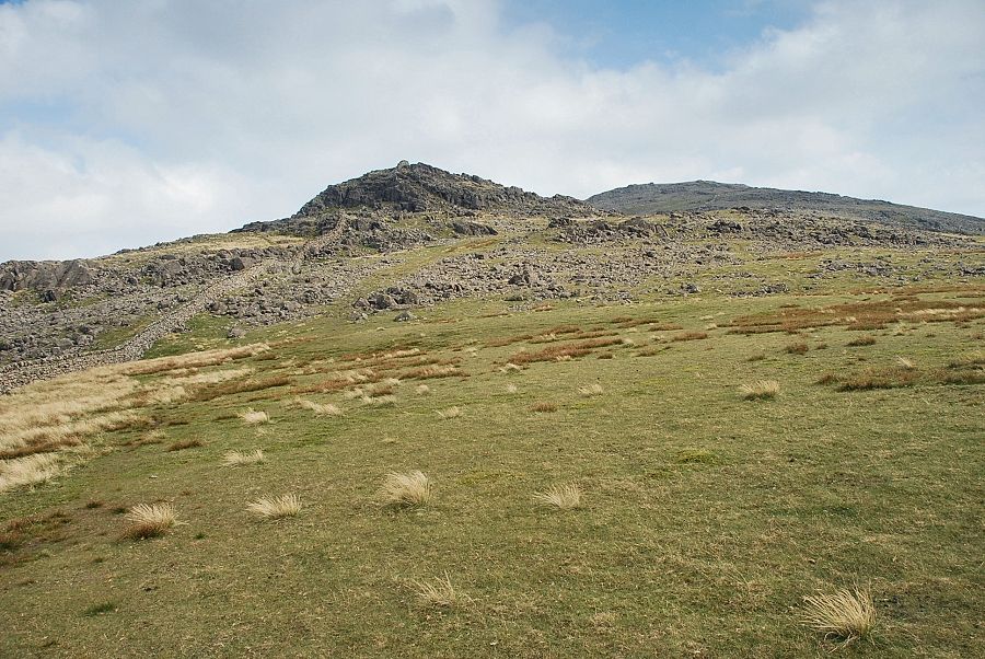
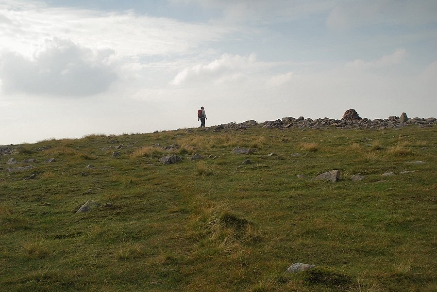
| The cairn on the rock marks the foot of the grass rake which leads up to the south cairn on Haycock |
 |
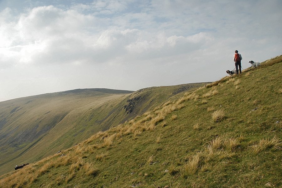
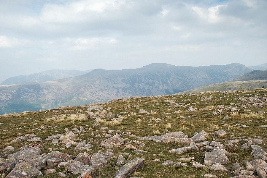
| Looking back across the boulder fields to Middle Fell and Seatallan |
 |
| Crossing the last of the boulders as we join the easier grassy slopes above Brown Band rising out of Stockdale Head |
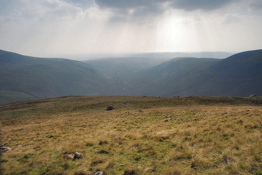 |
| Looking down Brown Band to Blengdale |
 |
| Caw Fell from Brown Band |
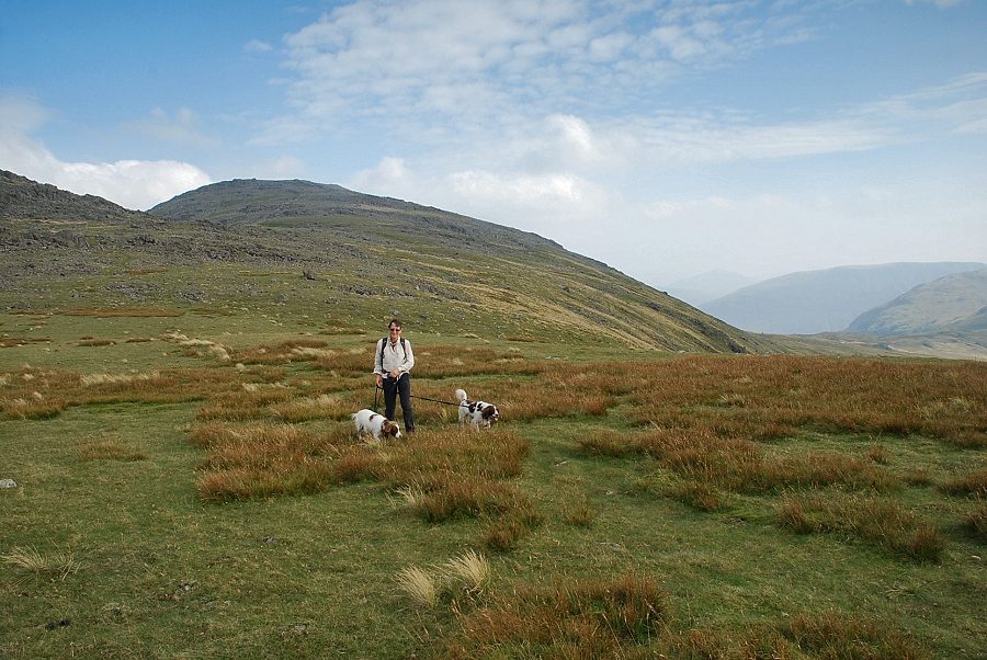 |
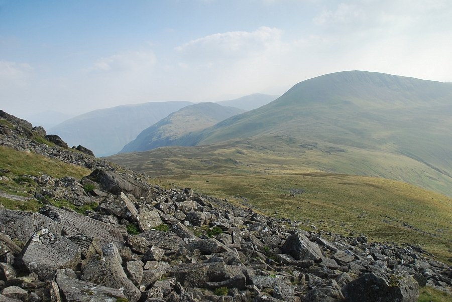
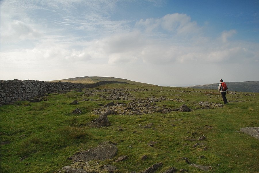
| The wide col between Haycock and Caw Fell |
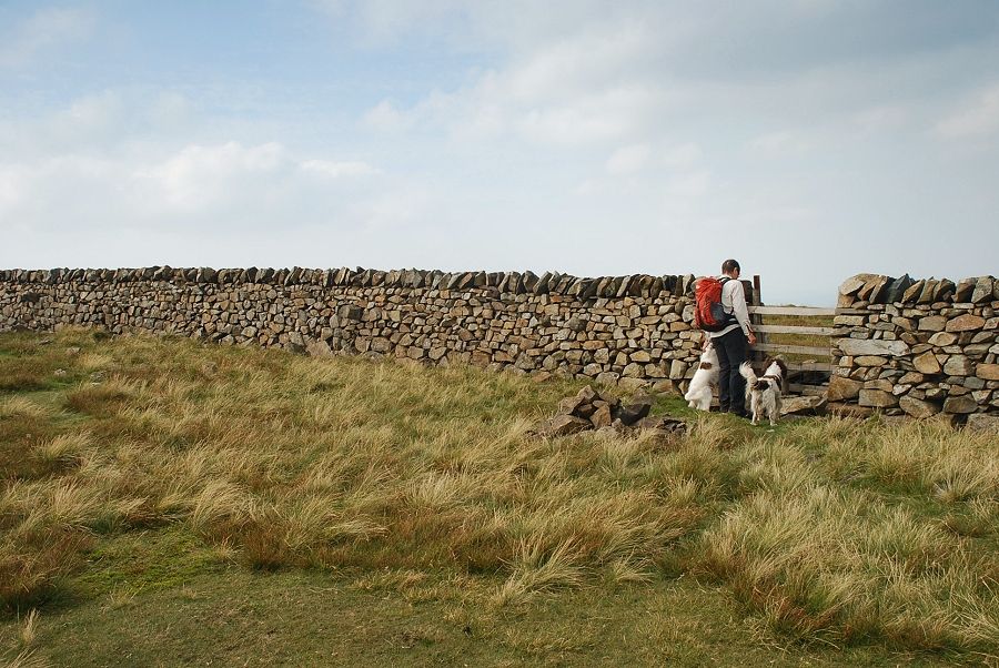 |
| This well maintained section of the Ennerdale Fence is a sure guide to the summit of Caw fell in poor visibility. There is a path on either side of it but the summit cairn lies on the northern side so we took an early opportunity to cross it at a hurdle near the col. There are a few more hurdles or stiles further along the ridge if this one is missed |
 |
| Little Gowder Crag and the summit of Haycock from the col |
 |
| Following the Ennerdale Fence towards the summit of Caw Fell, the summit cairn can be seen on the skyline to the right of the wall |
 |
| Looking over to the long ridge of Iron Crag, the Ennerdale Fence wall can be seen continuing on over its top |
 |
| Approaching the summit of Caw Fell |
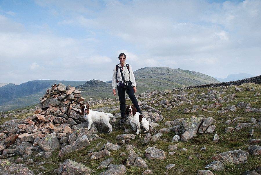 |
| The summit cairn on Caw Fell |
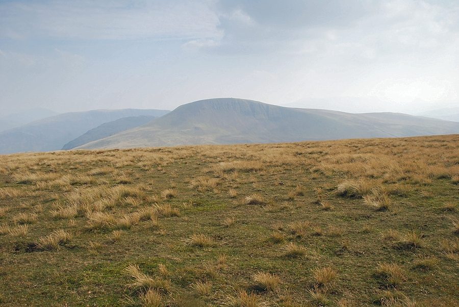 |
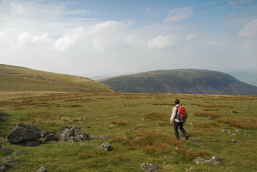
| Seatallan from the summit of Caw Fell |
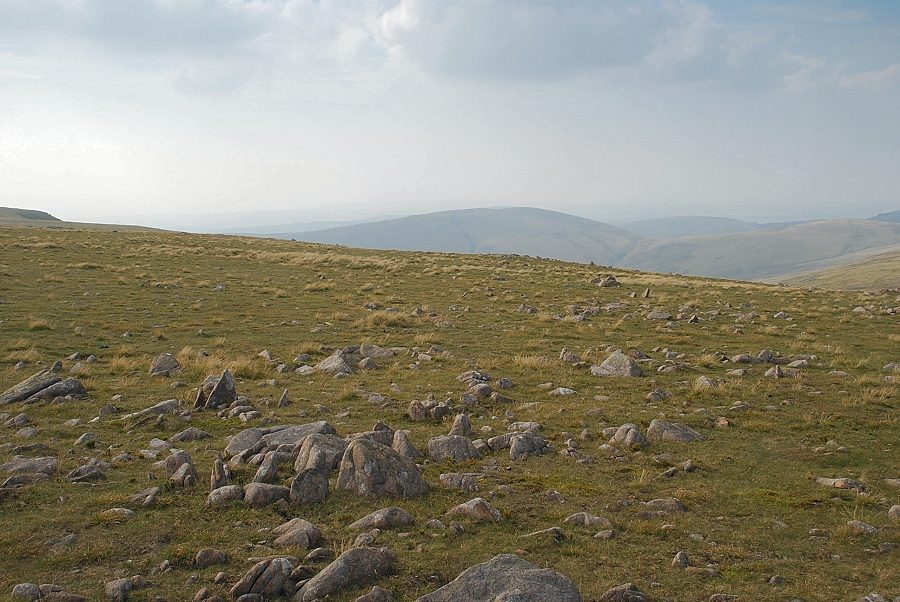 |
| Lank Rigg and Whoap from the summit of Caw Fell |
 |
| Grike and Crag Fell over Iron Crag |
 |
| Great Borne across Ennerdale |
 |
| Red Pike, High Stile and High Crag across Ennerdale |
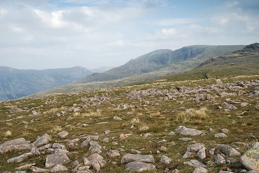 |
| Pillar and Scoat Fell |
 |
| The connecting ridge over Little Gowder Crag to Haycock |
