
| Clough Head - Route One |
| Start - Lowthwaite NY 318 223 | Distance - 2 miles | Ascent - 1,900 feet | Time - 1 hour : 45 minutes |
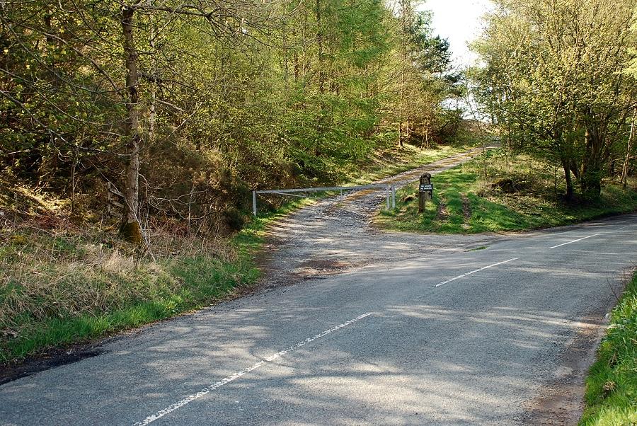 |
| A few hundred yards south of Lowthwaite Farm is an old track leading to the extensive disused quarries and mines on Clough Head's western slopes |
 |
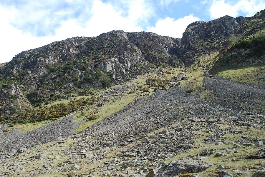
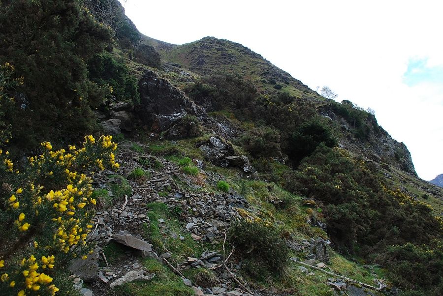
| The track immediately turns back left and rises below conifer and birch trees that cover the old spoil heaps |
 |
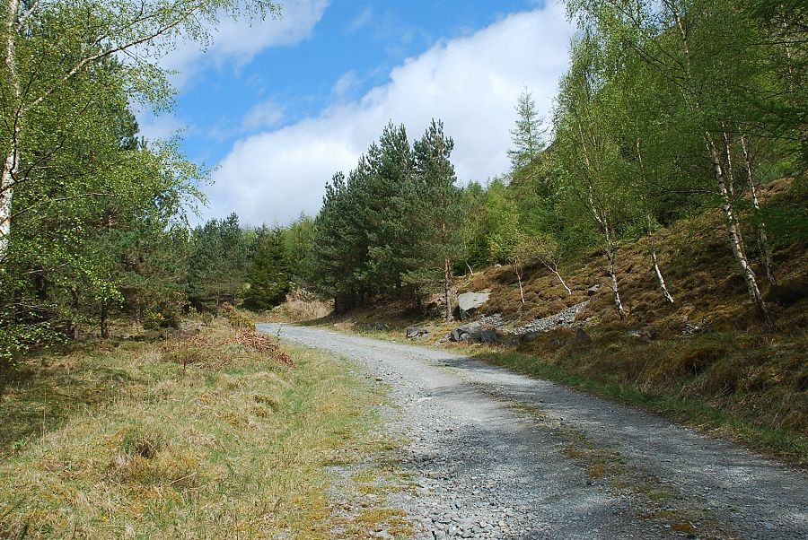
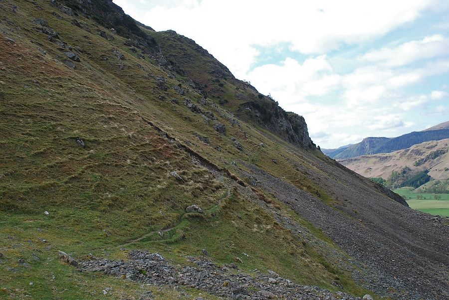
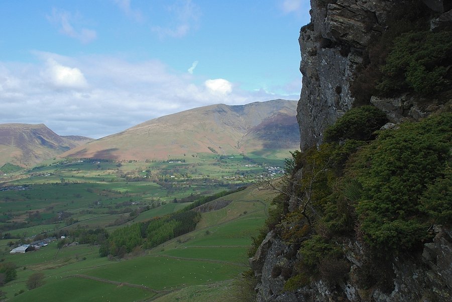
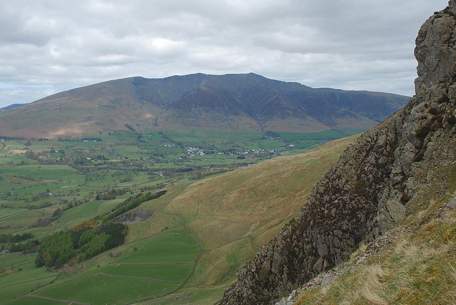
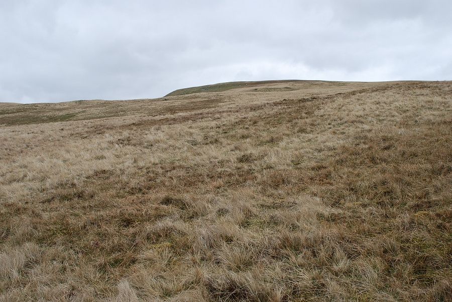
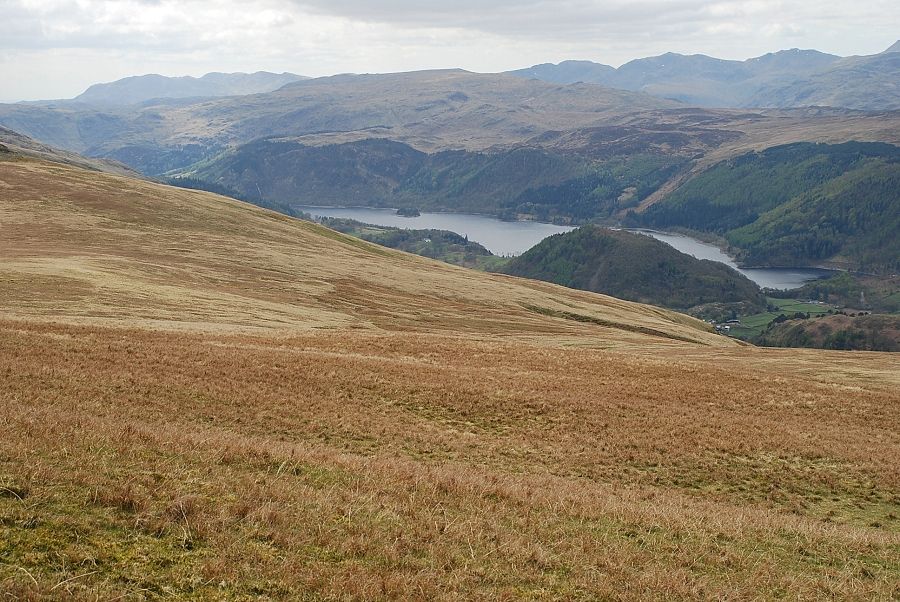
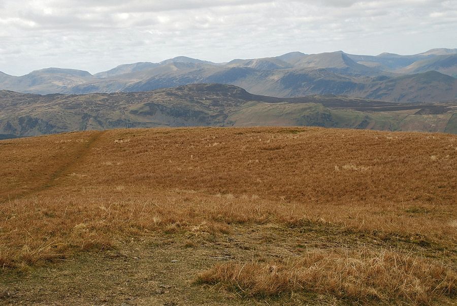
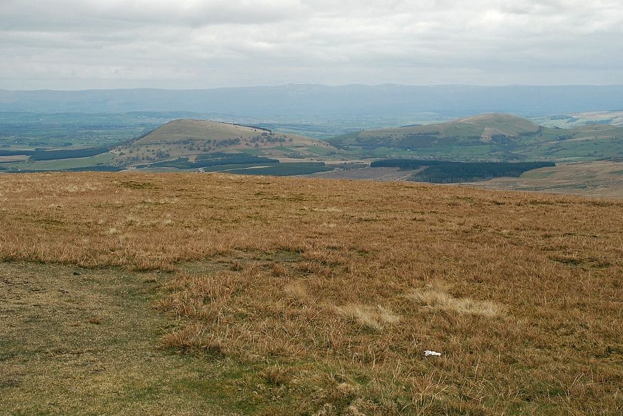
| Skiddaw and Lonscale Fell from the quarry track |
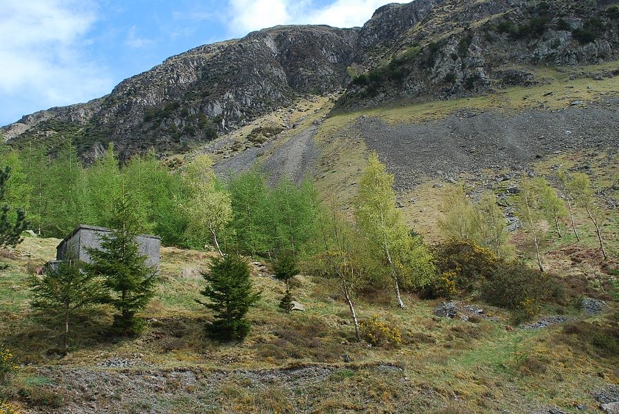 |
| Leave the track where it turns towards the disused Bram Crag Quarry for a green path passing below an old hut and across a mineral line track bed |
 |
| Above the mineral line track bed a hand-gate gives access to the open fellside |
 |
| Looking up to Fisher's Wife's Rake which runs below the base of Wanthwaite Crag to the top of Bram Crag on the right. The rake is an old sled-gate used for bringing peat blocks down from the moor above the crags |
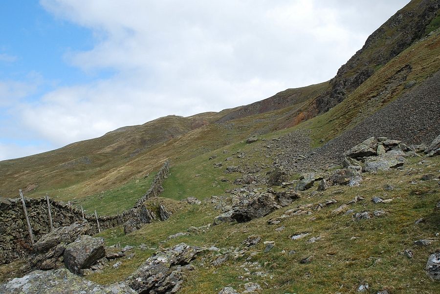 |
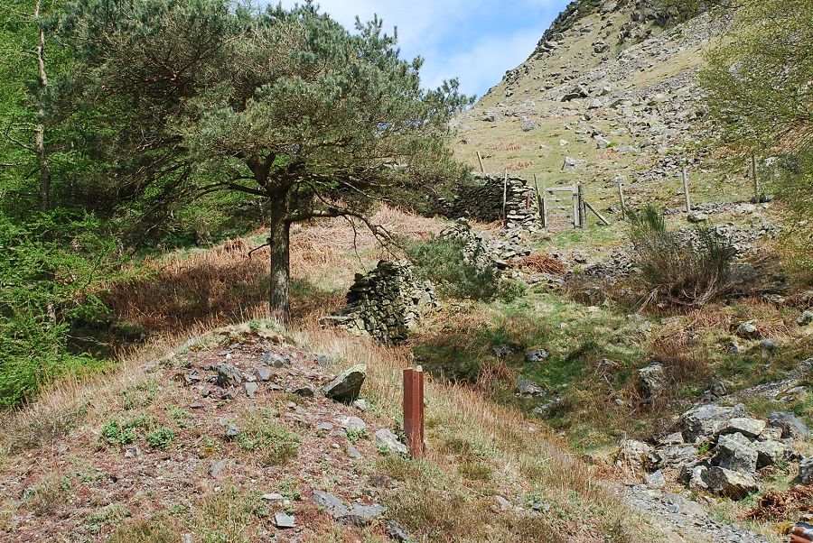
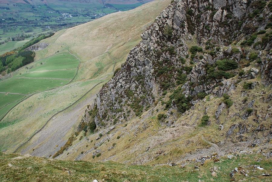
| To avoid the scree below the rake it's best to follow the wall to its highest point before turning uphill to join a well defined sheep trod that rises from the remains and spoil heaps of Wanthwaite Mine |
 |
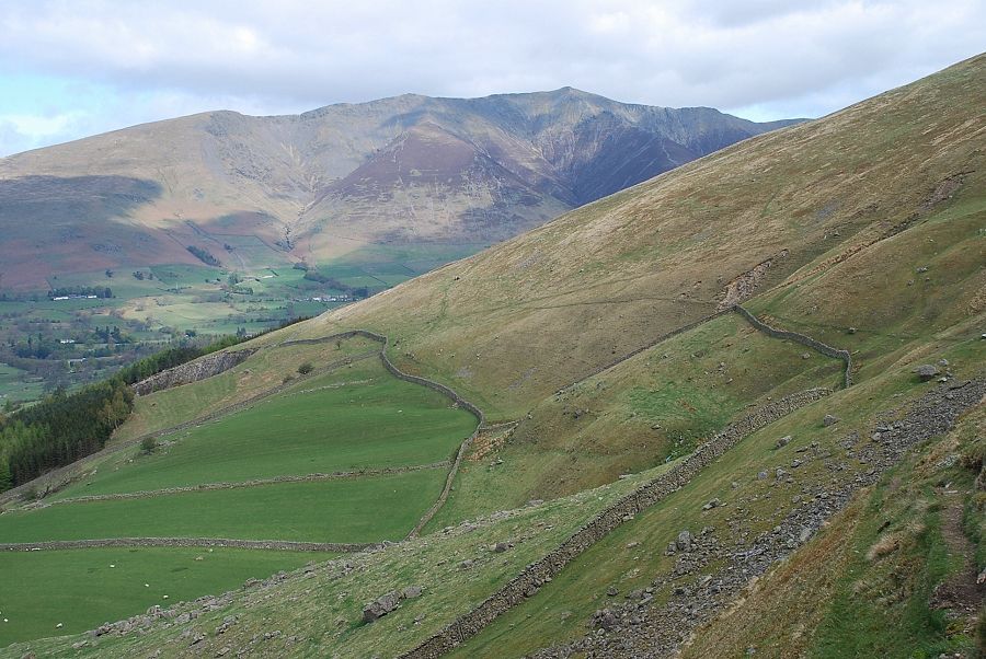
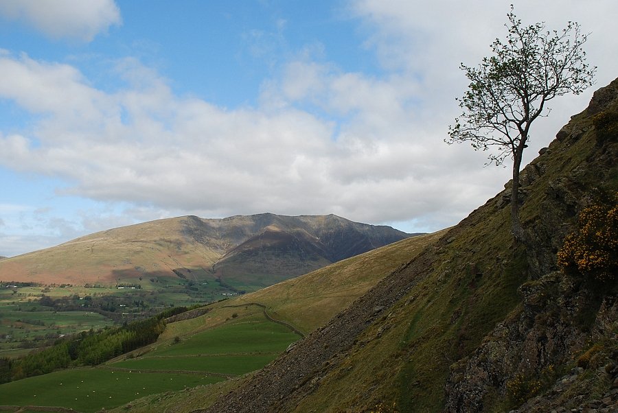
| Blencathra from the intake wall |
 |
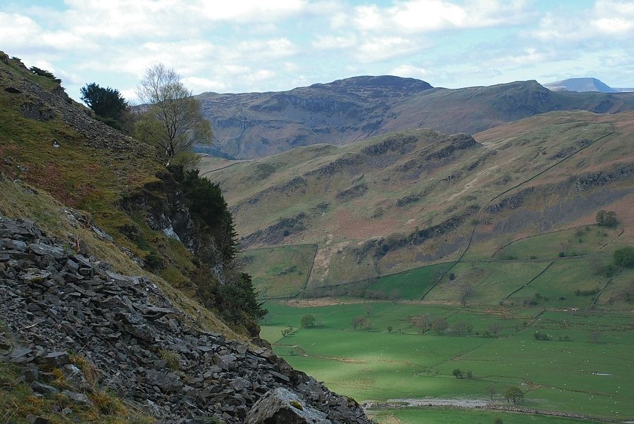
| Looking back across St. John's Vale to High Rigg |
 |
| On the sheep trod rising above the scree slopes |
 |
| Looking back to Blencathra from the sheep trod |
 |
| Fisher's Wife's Rake comes into view rising below Wanthwaite Crag to the col above Bram Crag on the right |
 |
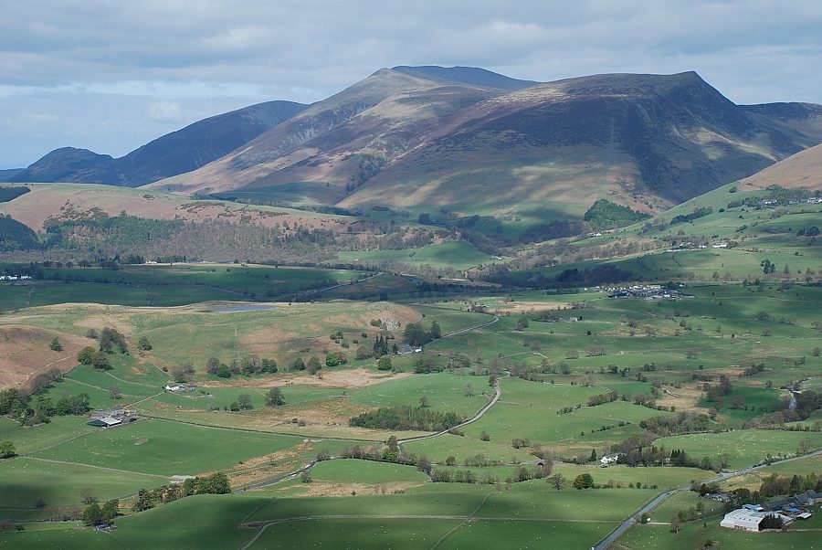
| The Skiddaw group from the sheep trod |
 |
| The path leading to the bottom of the rake starts behind a solitary rowan tree and is almost obscured by gorse bushes |
 |
| Looking back to Blencathra from the start of the rake |
 |
| Bleaberry Fell above High Rigg |
 |
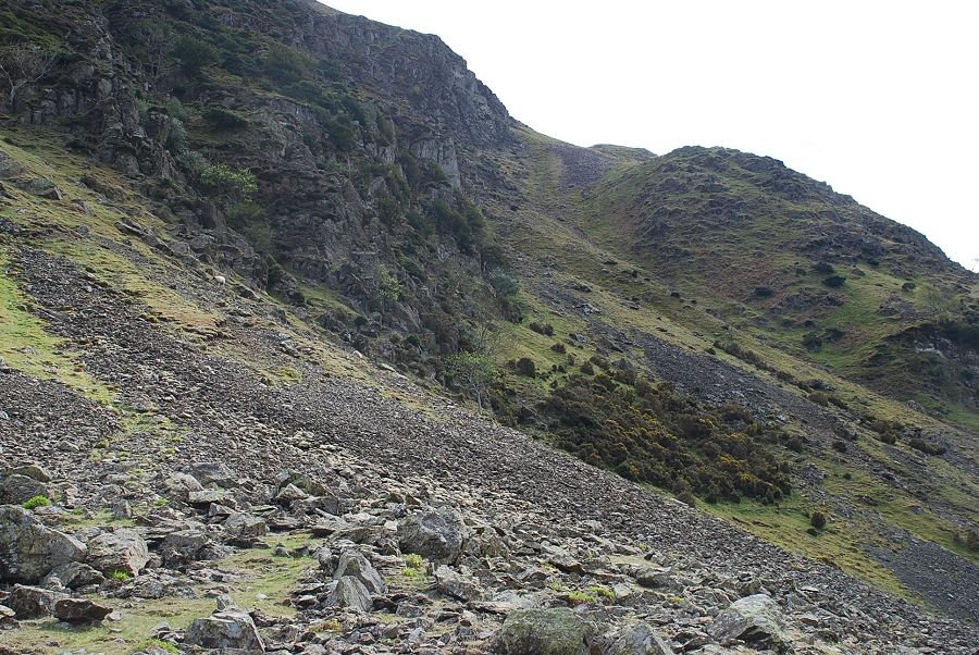
| The lower part of the rake |
 |
| Looking back across the steep face of Wanthwaite Crag to Blencathra |
 |
| Looking down the lower part of the rake |
 |
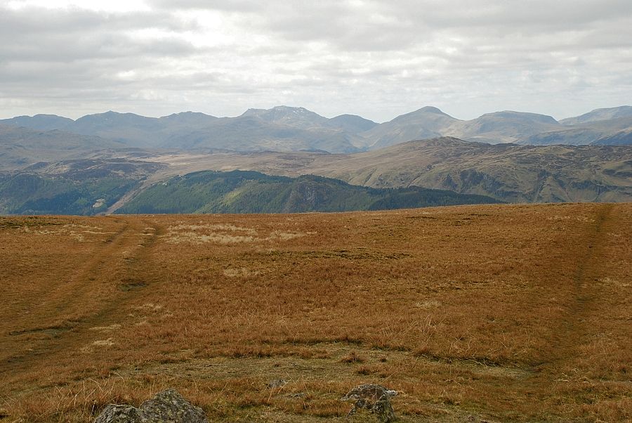
| Looking over High Rigg to the North Western Fells |
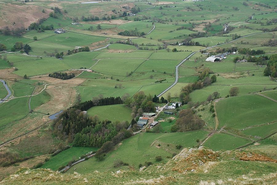 |
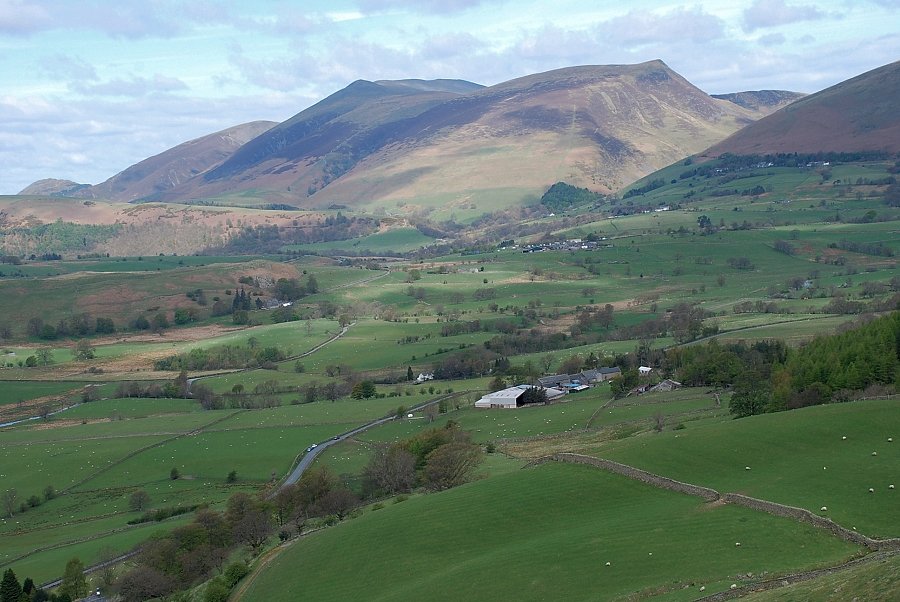
| Looking down to Lowthwaite Farm from near the top of the rake |
 |
| Near the end of the rake where it approaches the top of Bram Crag |
 |
| Blencathra from the top of Fisher's Wife's Rake |
 |
| The Skiddaw group from the top of Fisher's Wife's Rake |
 |
| Crossing the head of Sandbed Gill |
 |
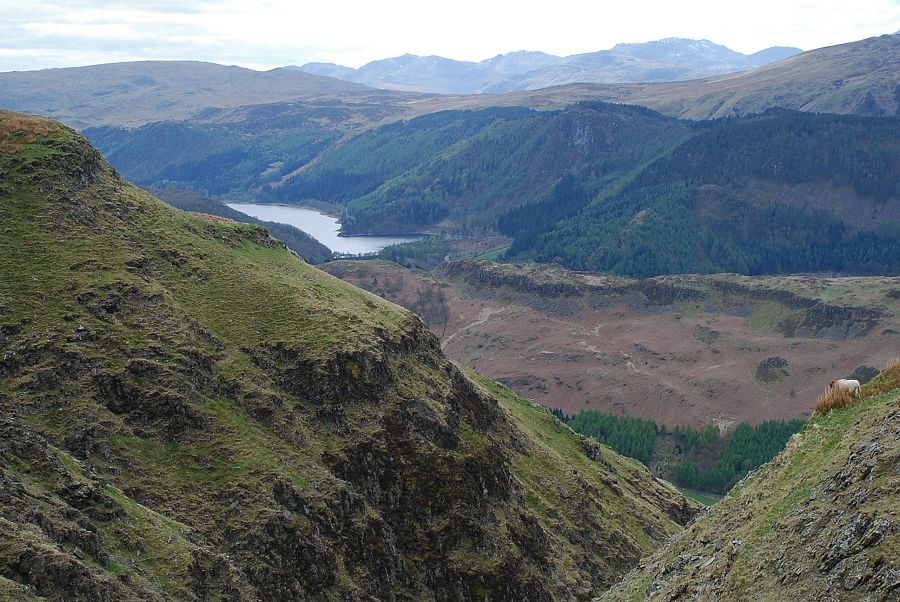
| Looking back to the North Western Fells from the top of Sandbed Gill |
 |
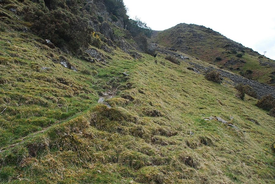
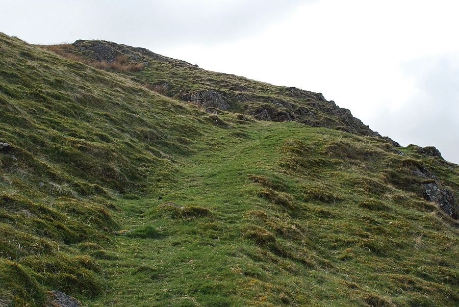
| The path fades and disappears as it passes Jim's Fold |
 |
| Above the fold it's a dull and tedious climb to the summit. A faint path can be found by traversing left towards the escarpment above the crags |
 |
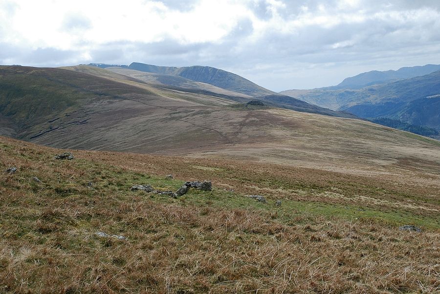
| Great Dodd and Helvellyn from above Jim's Fold |
 |
| Looking back on the climb to the summit. A long line of fells from Great Gable on the left to Hopegill Head on the right |
 |
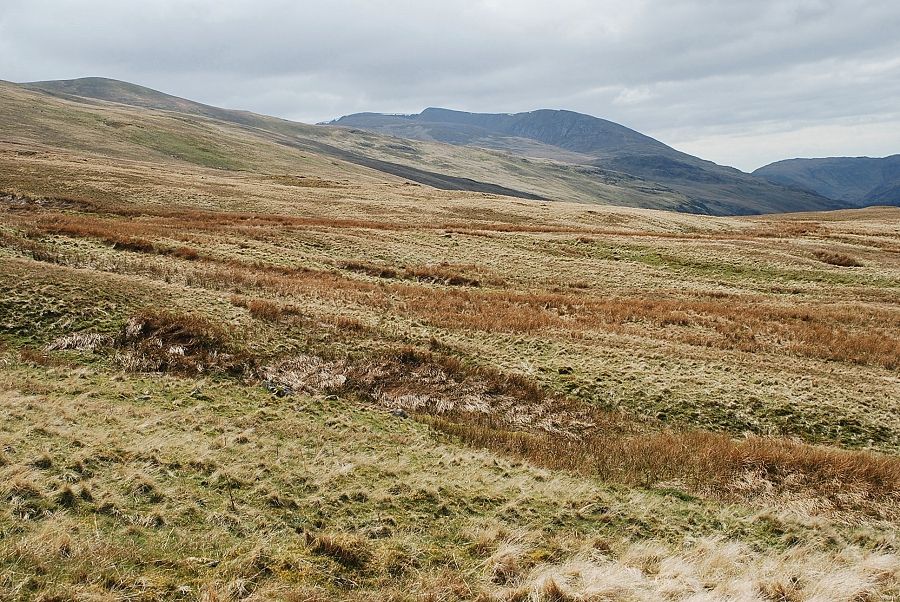
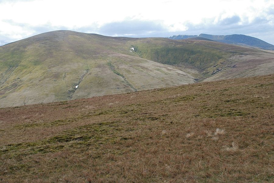
| It's about a six hundred foot climb to the summit from Jim's Fold. Progress can be measured over this featureless slope by referring to the rock tor of Calfhow Pike in the centre of the photo which stands at 2,175 ft. |
 |
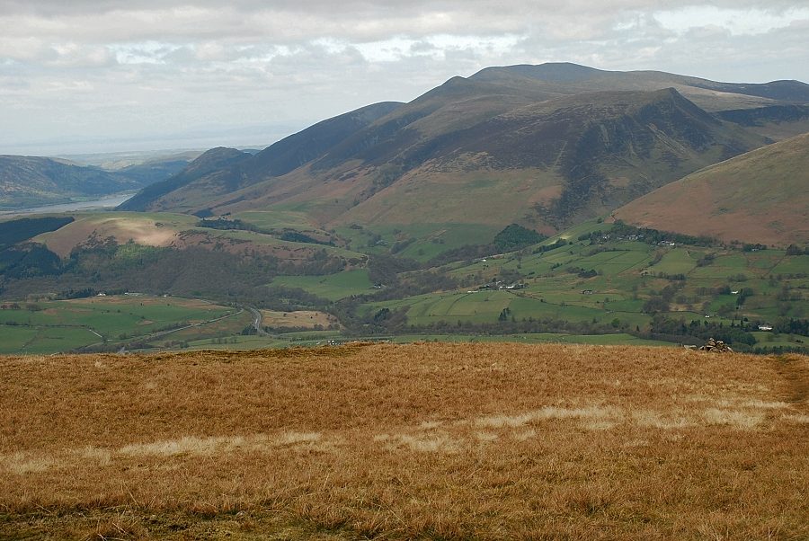
| Thirlmere from the climb to the summit |
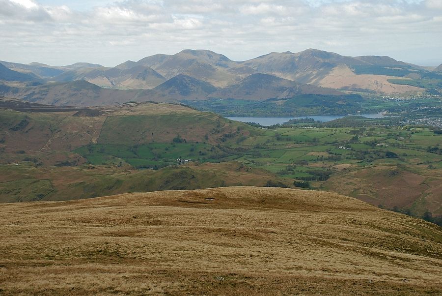 |
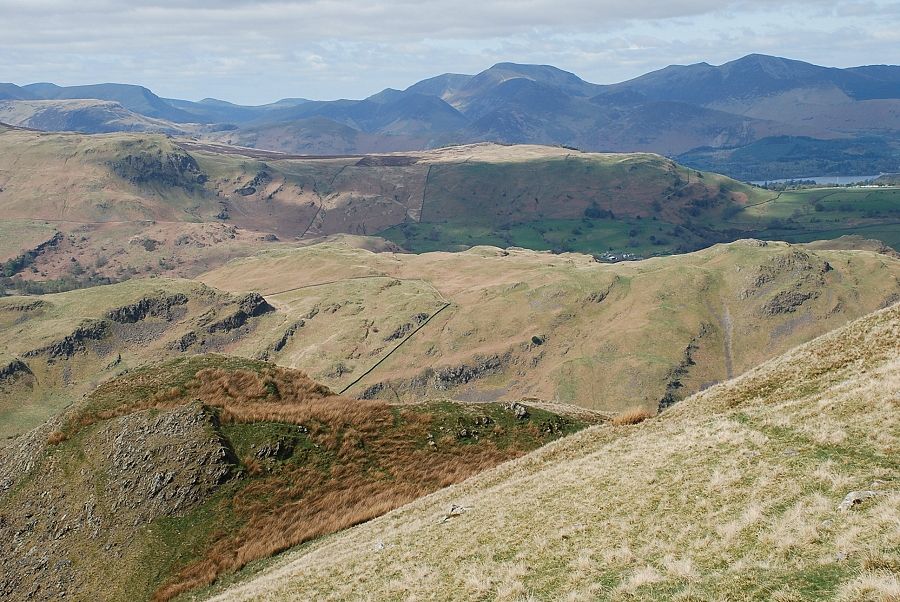
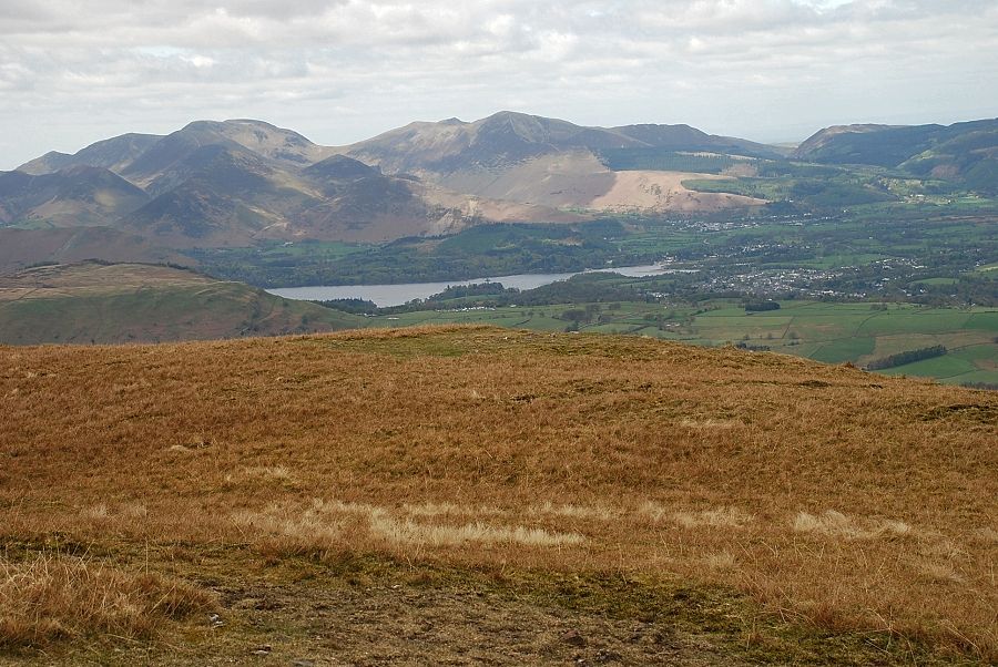
| The North Western Fells and Derwent Water from the climb to the summit |
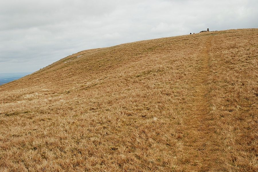 |
| At last the summit comes into view! |
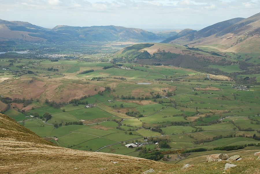 |
| Looking across Latrigg to Bassenthwaite Lake from just below the summit |
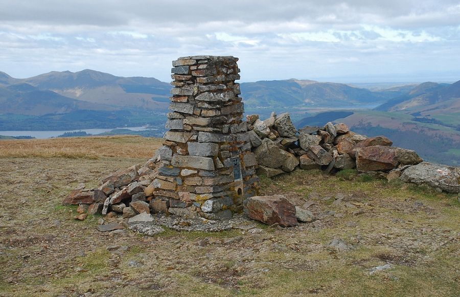 |
| The summit of Clough Head |
 |
| Great Dodd and Helvellyn from the summit of Clough Head |
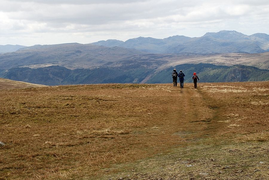 |
| A group of walkers leaving the summit on the ridge path to Great Dodd |
 |
| The view to the south west from the summit. On the skyline from the left - Crinkle Crags, Bowfell, Esk Pike, Scafell Pike, Lingmell, Great Gable, Kirk Fell and Red Pike (the one above Wasdale) |
 |
| On the skyline from the left - Kirk Fell, Red Pike (Wasdale), Pillar, High Crag, Red Pike (Buttermere), Starling Dodd and Great Borne |
 |
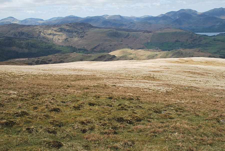
| The North Western Fells above Derwent Water. Whiteless Pike, Wandope, Eel Crag, Hopegill Head, Grisedale Pike, Hobcarton End and Whinlatter Fell form the horizon |
 |
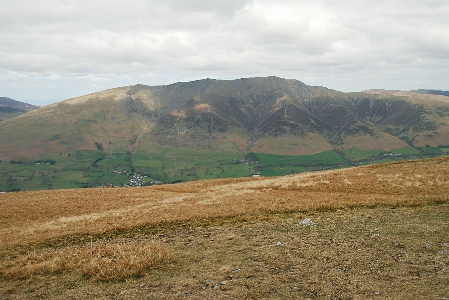
| Skiddaw from the summit of Clough Head |
 |
| Blencathra from the summit of Clough Head |
 |
| The view east to Great Mell Fell and Little Mell Fell with the Pennines on the distant horizon |
|