
|
Coniston Old Man - Route One
|
| Start - Coniston (fell gate) SD 289 970 | Distance - 2.4 miles | Ascent - 2,075 feet | Time - 2 hours : 05 minutes |
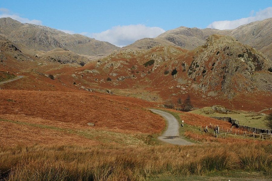 |
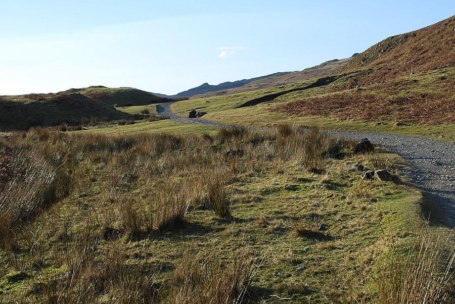
| At an elevation of 750ft the large parking area beyond the fell gate is a popular starting point for an ascent of Coniston Old Man. Opposite the car park is the old track leading to the quarries on the east face which is the quickest and most used route to the summit. A much better option is to follow the Walna Scar Road westwards for about a mile before making an ascent of the south ridge |
 |
| Looking back to the car parking area from the Walna Scar Road. The main car park is covered by sheet ice today |
 |
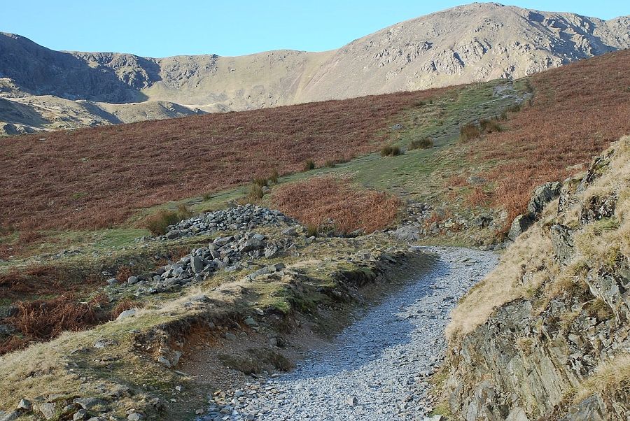
| A short distance along the road, the access track to the Bursting Stone Quarry branches off on the right. This is the start of the Diamond Route to the summit and was the route that AW recommended. In 1960, shortly before the guide was printed, it was announced that the quarry was to resume operations. It has since increased in size and obliterated the lower part of the path. Walkers are directed to the side of the quarry access road by a sign at its base, but most choose to shun the diverted path which, higher up, rises alongside the spoil heaps and instead continue over the shoulder of Little Arrow Moor towards the south ridge |
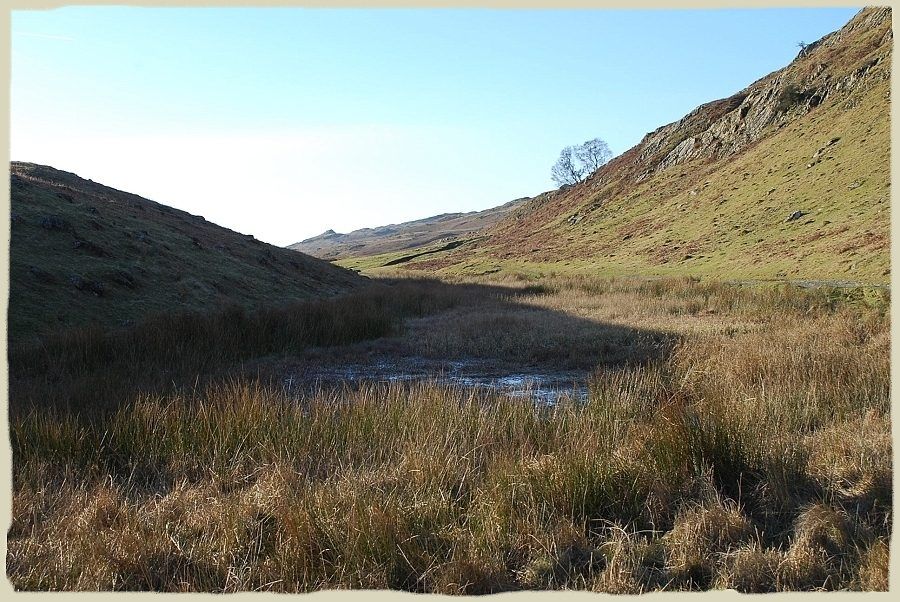 |
| Boo Tarn "a small reedy pool" as AW described it. Fifty years on it's a lot smaller and reedier! Coniston Old Man - page7 |
 |
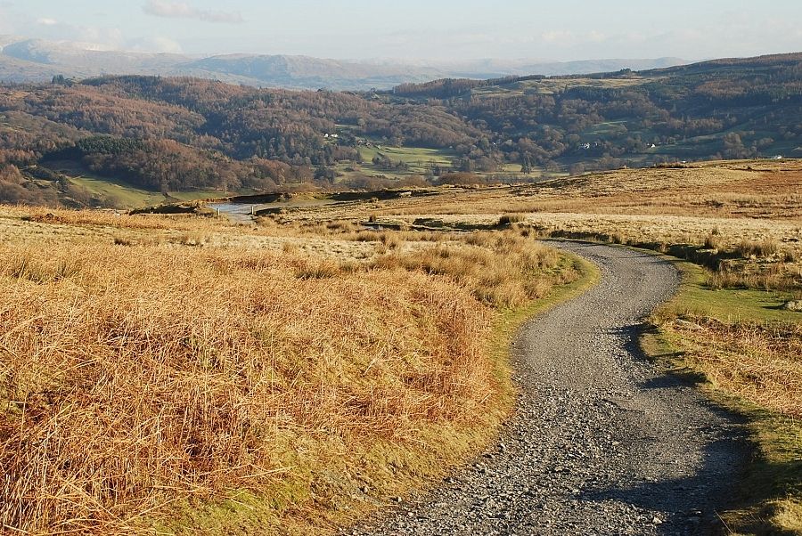
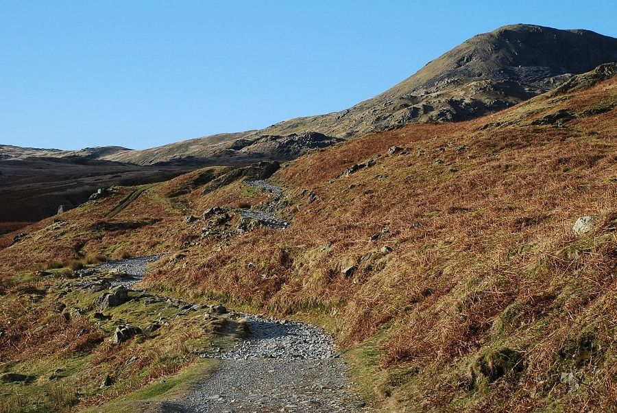
| Continuing along theWalna Scar Road |
 |
| Approaching the first of two rock gates (the dark cleft along the road) |
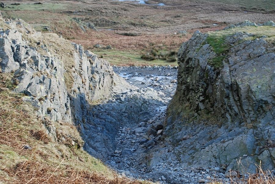 |
| Looking back through the first rock gate |
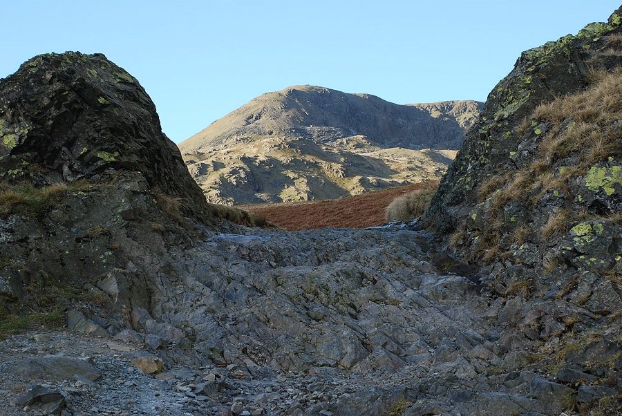 |
| The second rock gate, a little wider than the first. Brown Pike framed by its walls |
 |
| Just beyond the second rock gate a large cairn by the side of the road indicates the start of a path leading up to The Cove |
 |
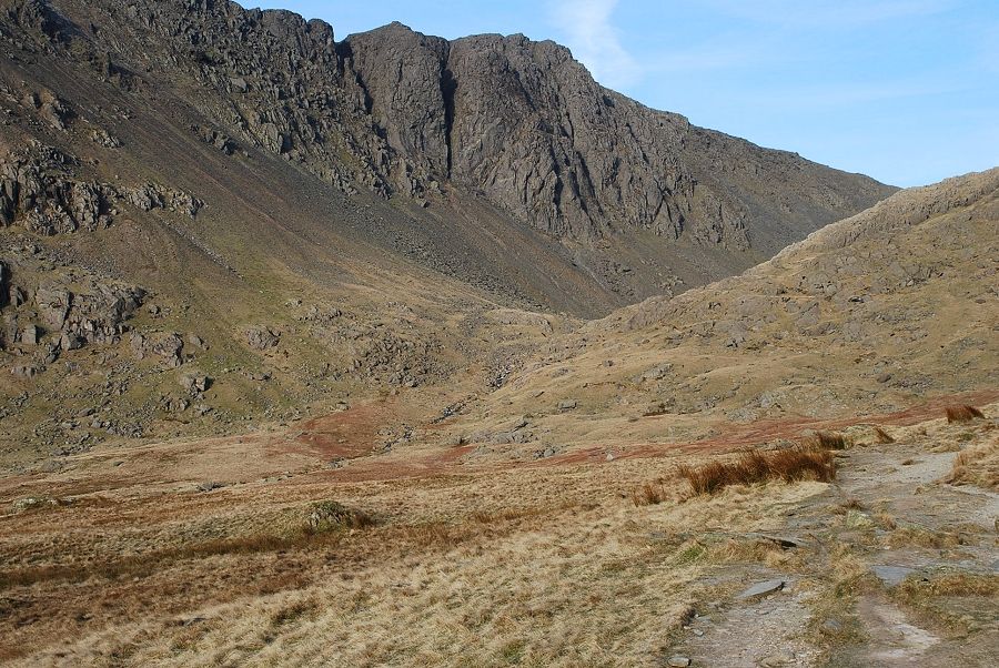
| Dow Crag comes into view on the short climb to The Cove and the start of the south ridge |
 |
| The south ridge from The Cove path |
 |
| From the edge of The Cove there is a fine view across to Dow Crag |
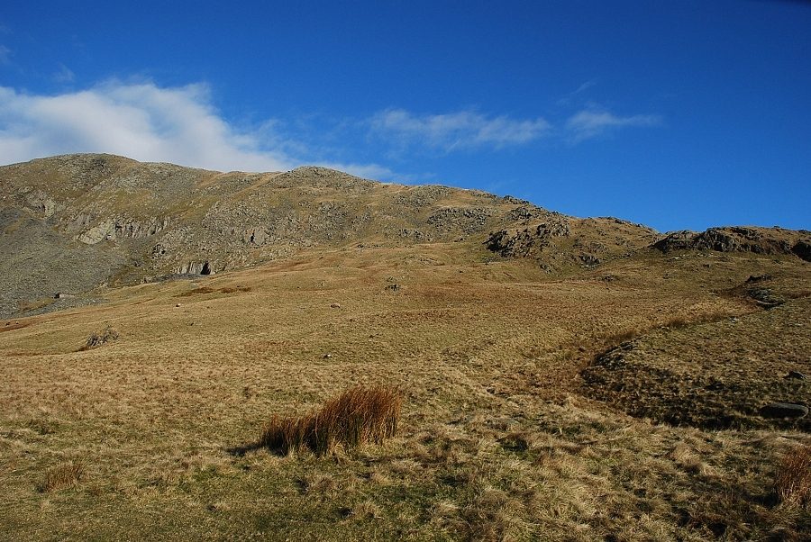 |
| The south ridge of Coniston Old Man from the edge of The Cove. Start by the side of the old Cove Quarry track (here no more than a sunken ditch) |
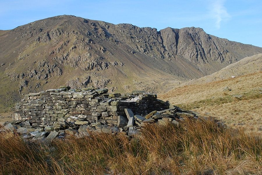 |
| Dow Crag from the ruined hut on the south ridge. Its thick walls and collapsed reinforced roof suggests it may have been the explosives store for the Cove Quarries which are higher up on the south west slope Update - An e-mail from Nigel Hetherington, now living in Singapore, confirms that he used this hut during the 1960's and 70's when it was served as a hiking/climbing base for the Furness Fell and Rock Club. He remembers it having WW2 style hammocks, oil lamps and a small galley area. He also recalls a log book kept by all those who used the hut as a base. It would be good to know if anyone knows the whereabouts of the log book! |
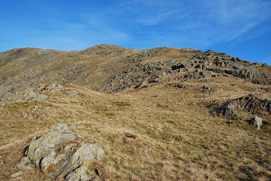 |
| Looking up the ridge from the ruined hut, there is no path on the traverse below a band of crags |
 |
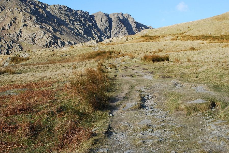
| Eventually a path is joined, this is the one that comes up from the Bursting Stone track via Little Arrow Moor |
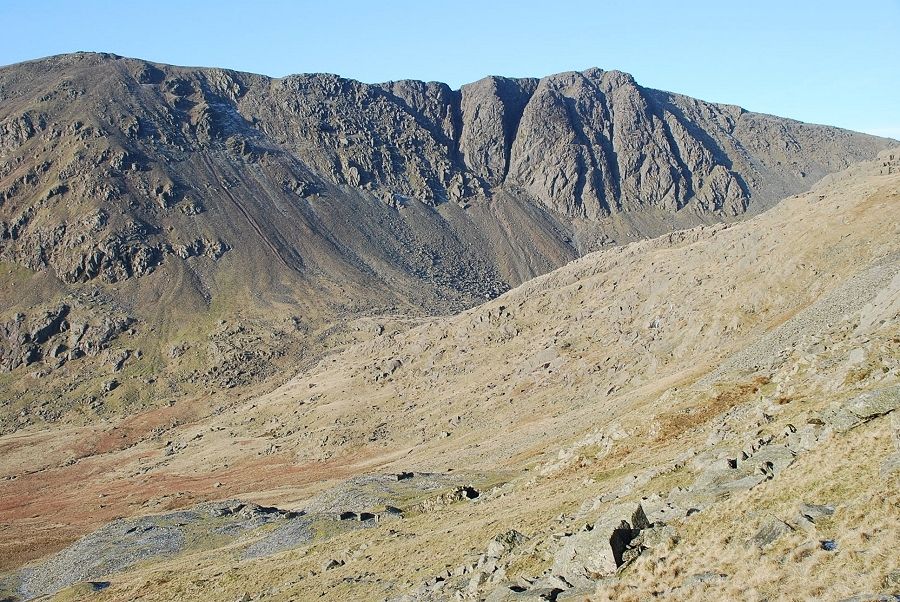 |
| Dow Crag across the Cove Quarries and Goat Crag |
 |
| Looking back over The Cove to Brown Pike and Blind Tarn |
 |
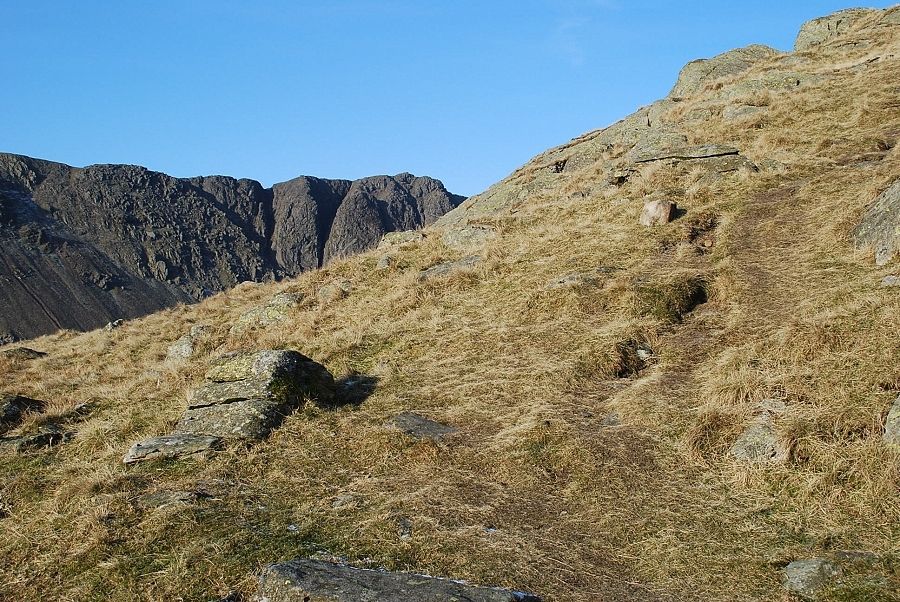
| Higher up the path climbs more steeply amongst rocks and before traversing over to the eastern side of the ridge |
 |
| Looking down from the eastern side of the ridge to Bursting Stone Quarry with the car park below it on the right. The path now turns back to the broad crest of the ridge and becomes much fainter as it crosses stonier ground |
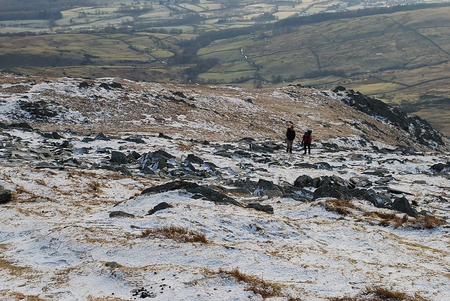 |
| Two walkers ascending the south ridge having come up from the Bursting Stone path |
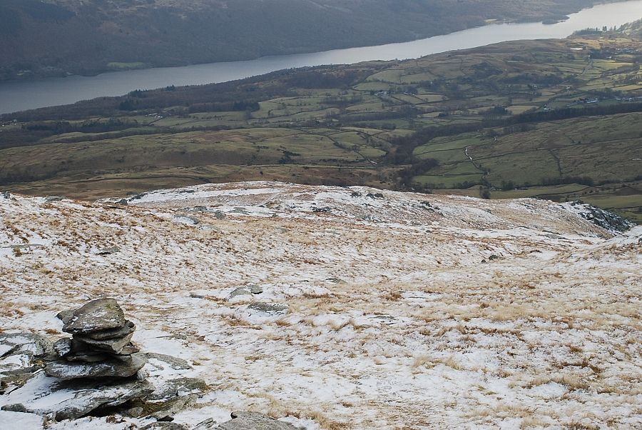 |
| A little higher up this prominent cairn is passed, not far to the top now |
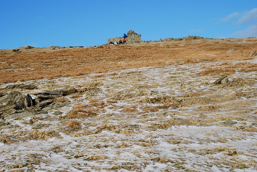 |
| The summit cairn comes into view |
 |
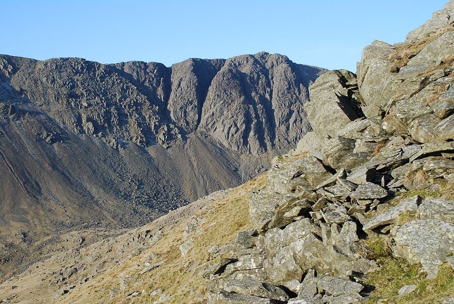
| Dow Crag fom the west side of the ridge.Not quite from the same position as AW's sketch ~ it took me some time to locate these rocks in the foreground which are well down the slope, another twenty feet to the left and a few feet back would have been about right Coniston Old Man - page 16 |
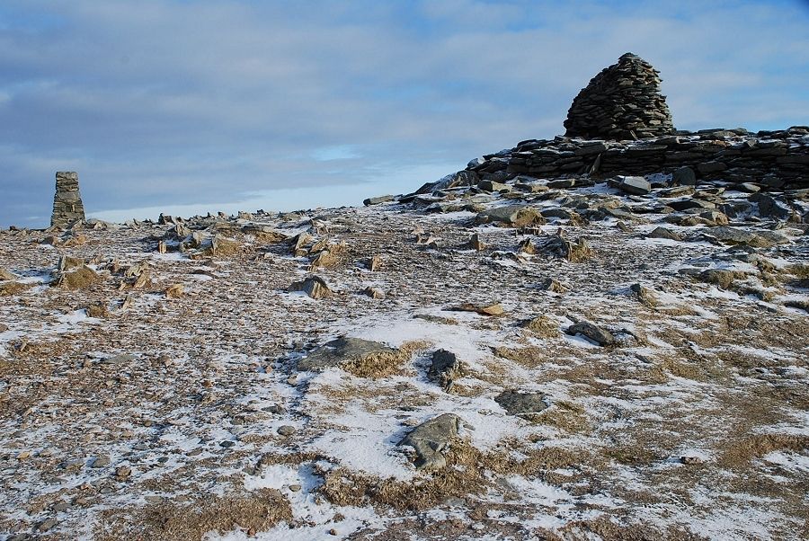 |
| The trig column and summit cairn |
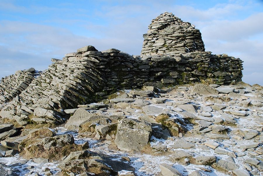 |
| Another view of the cairn set on its massive stone plinth |
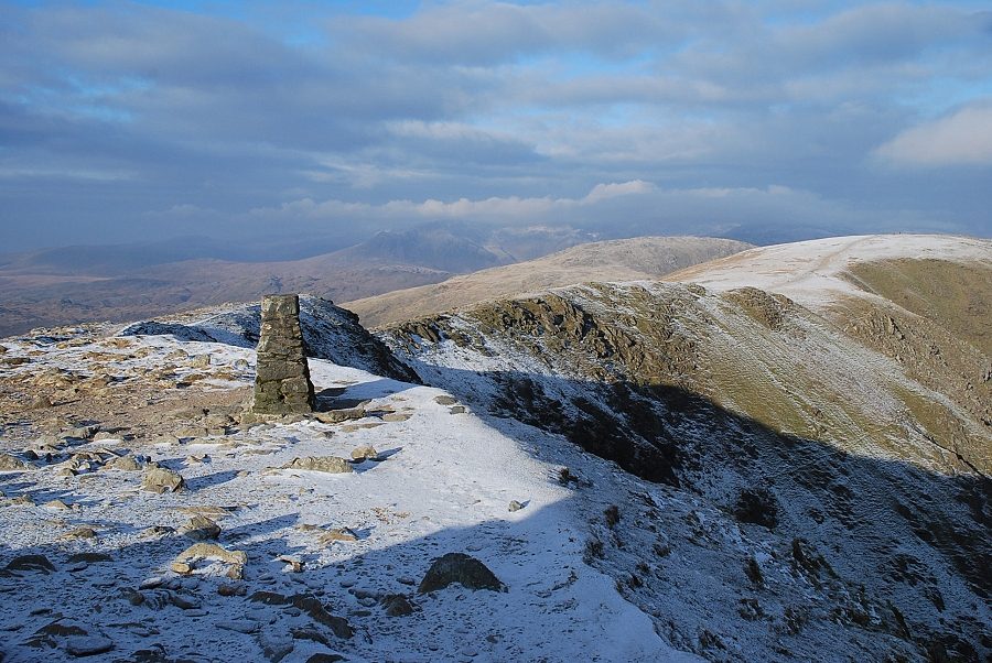 |
| The connecting ridge to Brim Fell |
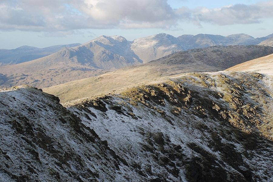 |
| The Scafell range to the north west |
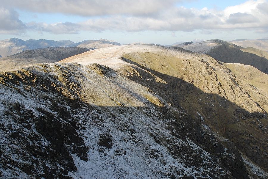 |
| The main ridge leading to Brim Fell, Swirl How and Great Carrs |
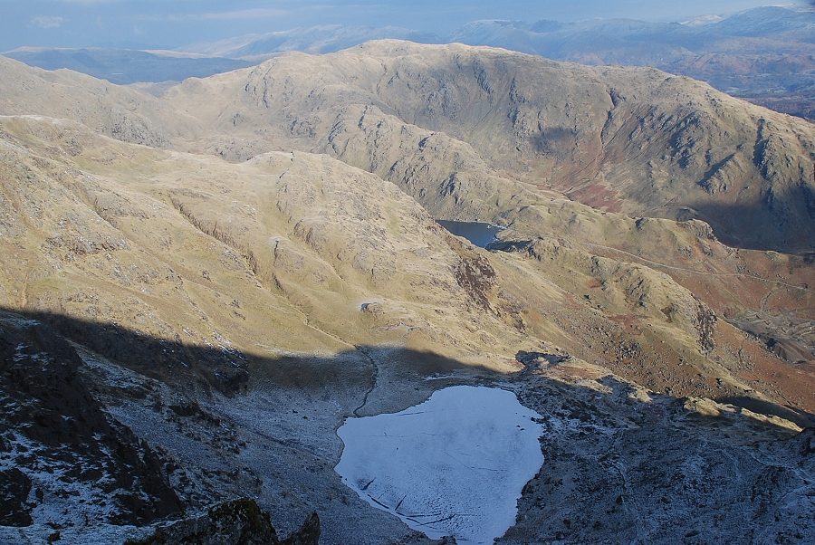 |
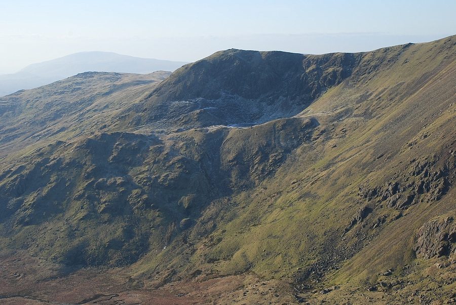
| A frozen Low Water in the shadow of The Old Man, part of Levers Water beyond and Wetherlam |
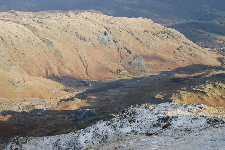 |
| Looking down the east face to the Coppermines Valley |
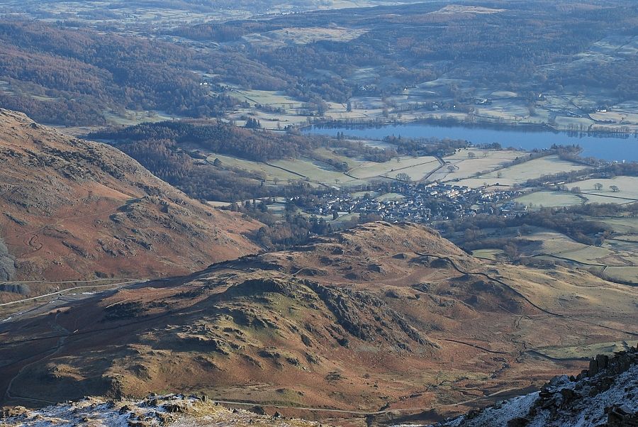 |
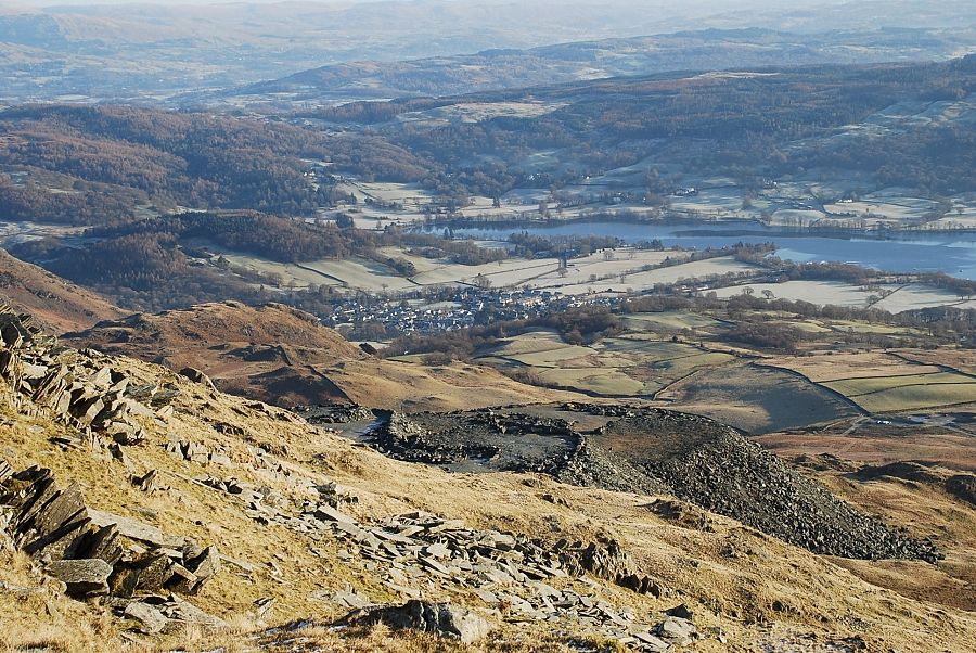
| Coniston village and the head of Coniston Water |
|