
| Coniston Old Man - Route Four |
| Start - Coniston (Fell Gate) SD 288 970 | Distance - 1.6 miles | Ascent - 1,950 feet | Time - 1 hour : 35 minutes |
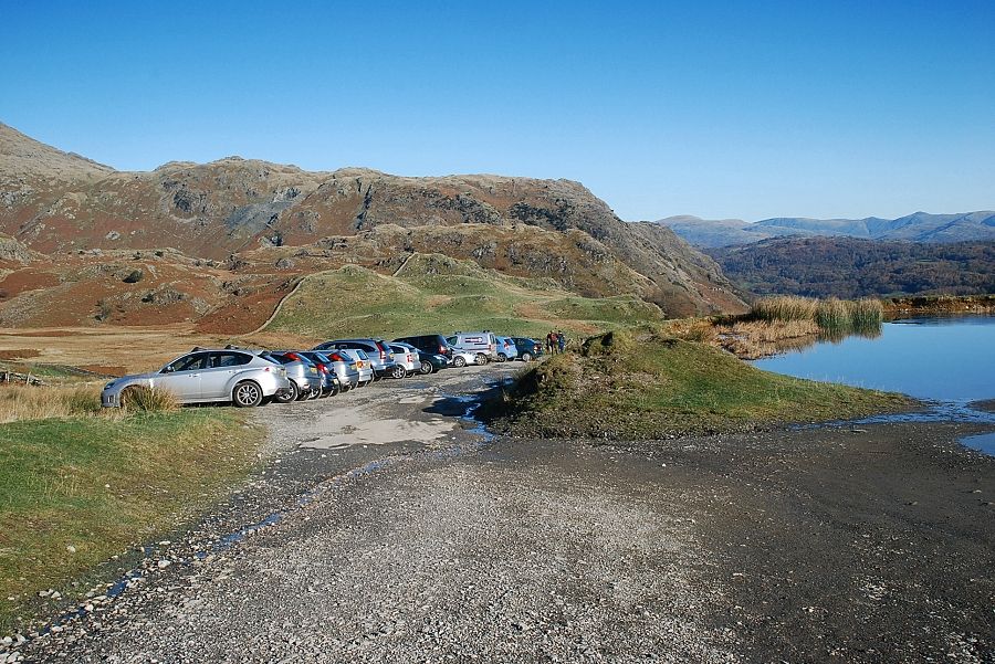 |
| The parking area beyond the fell gate on the Walna Scar Road at the start of the walk |
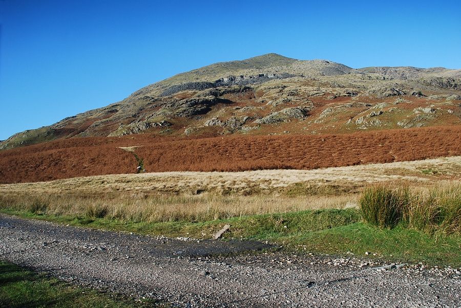 |
| Coniston Old Man from the Walna Scar Road |
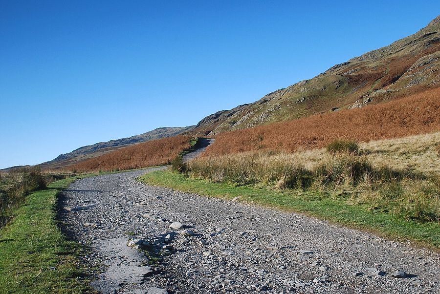 |
| The road is followed south-west for about 750 yards, past Timley Knott, to the start of the Bursting Stone Quarry track |
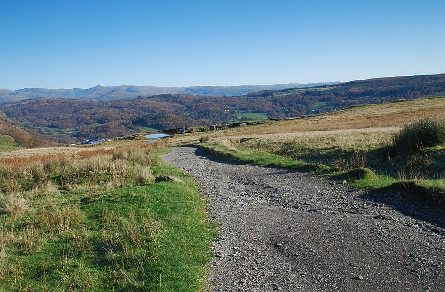 |
| Looking back along the Walna Scar Road |
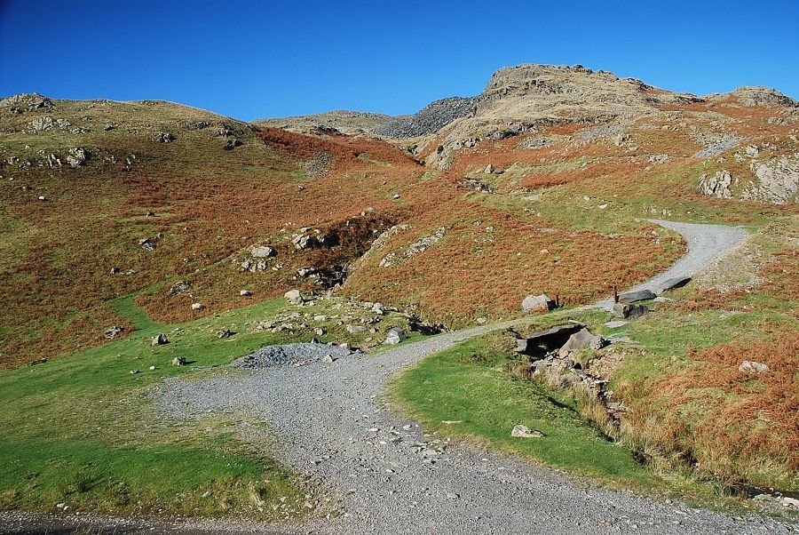 |
| The Bursting Stone Quarry track and the start of the Diamond path. The quarry has increased in area since AW's wrote his guide in 1960 and much of the lower part of the original path has been obliterated by the workings. A sign directs walkers onto a path to the left of the quarry track which, higher up, diverts away from the quarry over Limestone Haws and Little Arrow Moor, to enventually join the south ridge below Crag o' Stile |
 |
| Looking back along the Walna Scar Road, Timley Knott on the left with the Ill Bell ridge in the Far Eastern Fells on the right skyline |
 |
| Coniston Water from the start of the Diamond path |
 |
| Initially the path runs parallel with the quarry track until the track curves away below Booth How |
 |
| The lower section of the path below Booth How (on the right) |
 |
| Coniston Water from the path below Booth How |
 |
| The point where the path splits. The left branch traverses left across Limestone Haws towards the south ridge, a less well defined path continues straight on towards the slate spoil heaps of Bursting Stone Quarry |
 |
| Booth How and Coniston Water |
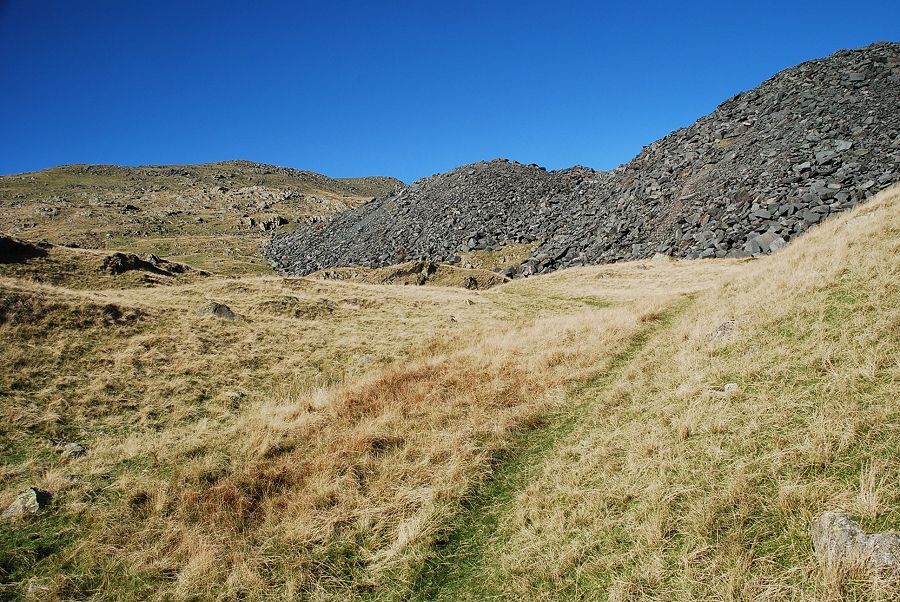 |
| The path climbs alongside the spoil heaps and then traverses across onto an old quarry road which lies above them |
 |
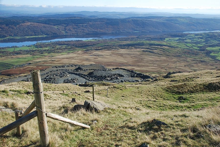
| Looking down onto the top of the spoil banks from the the old quarry road |
 |
| Looking back from the top of the old quarry road |
 |
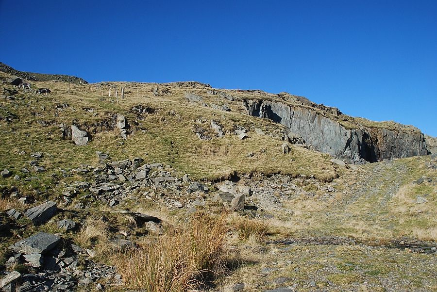
| Bursting Stone Quarry |
 |
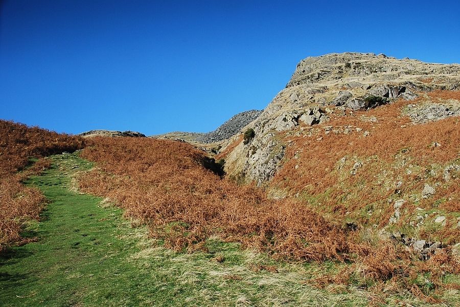
| Just before the road enters the quarry a faint path leads off it up a steep bank and follows a line of fence posts |
 |
| Coniston Water from the top of the quarry boundary fence |
 |
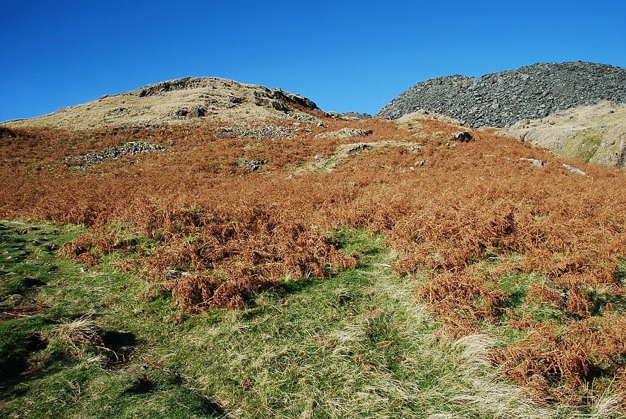
| Continuing on from the fence the path crosses a narrow depression and climbs to a level shoulder below the south ridge |
 |
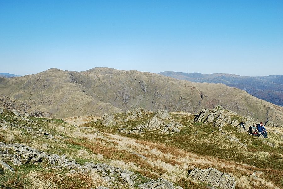
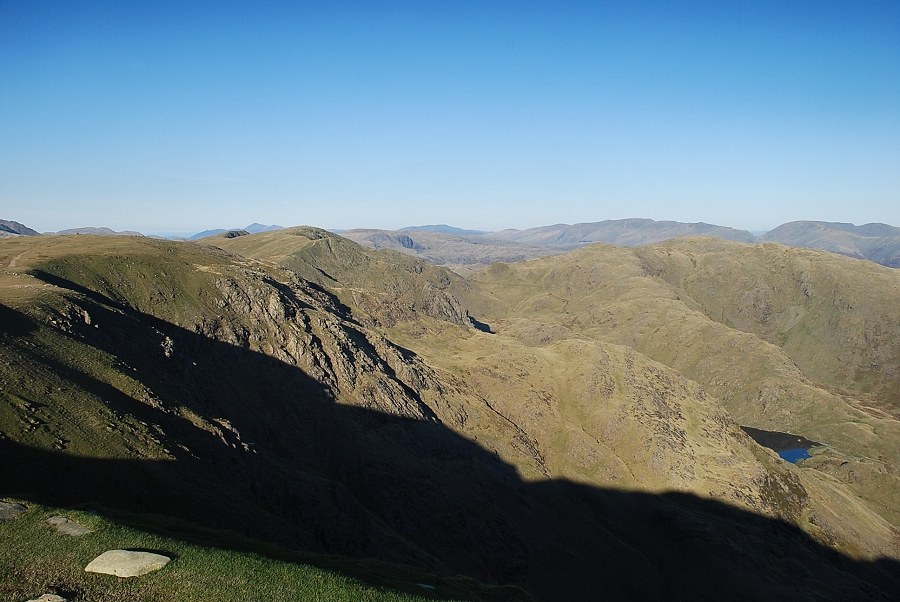
| Looking south-east from the level shoulder |
 |
| The head of Coniston Water from the level shoulder |
 |
| Wetherlam from the level shoulder |
 |
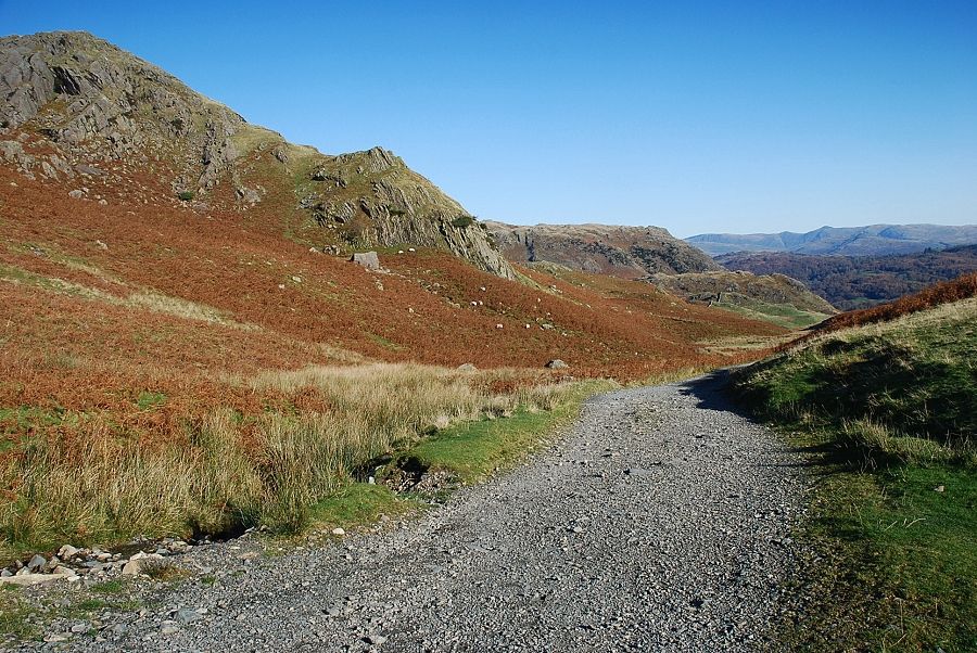
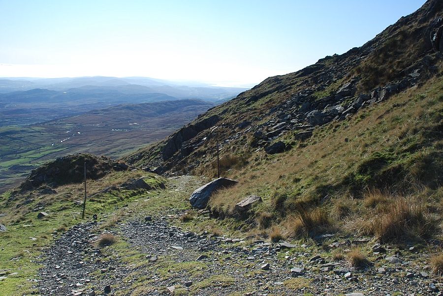
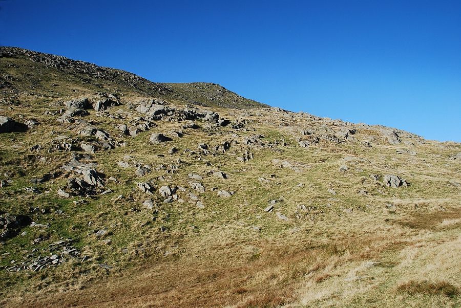
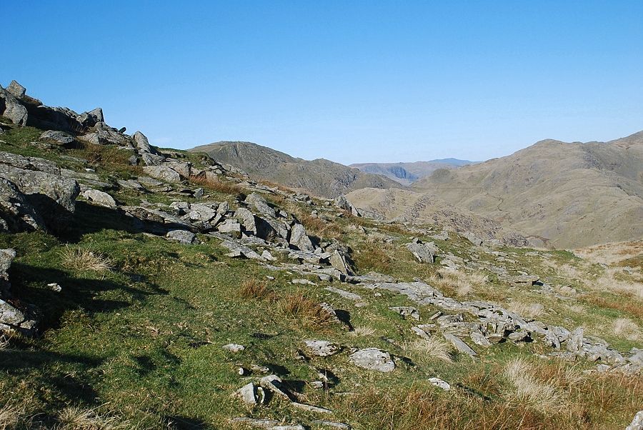
| The way ahead continues on a well defined path running below the south ridge |
 |
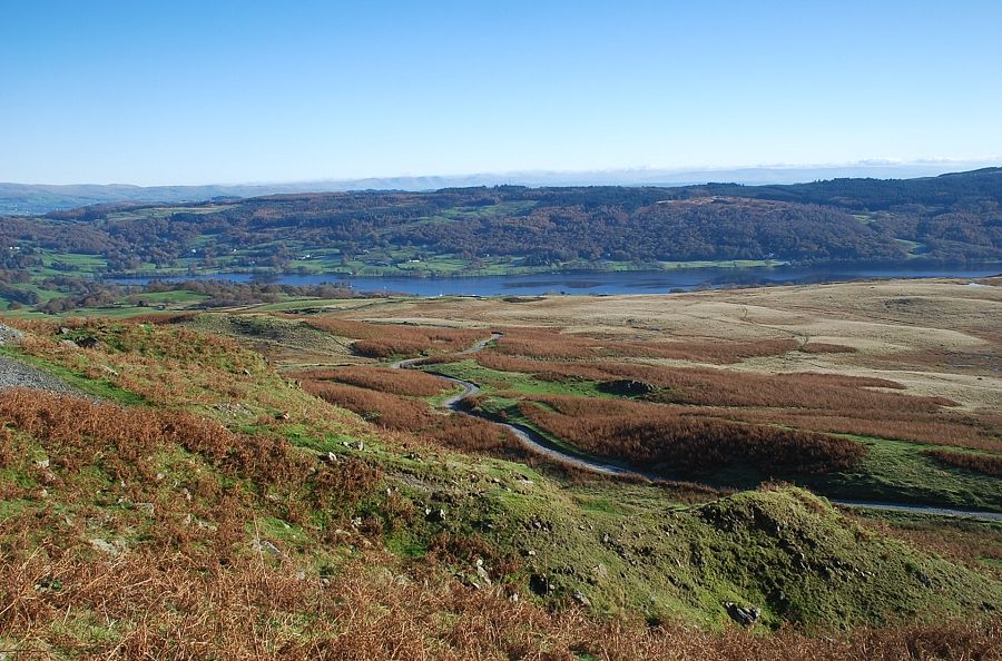
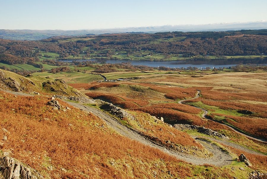
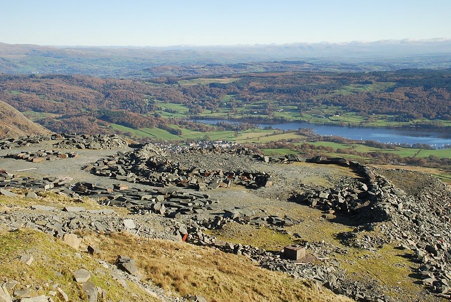
| Coniston Water from the path below the south ridge. Bursting Stone Quarry can be seen on the lower left |
 |
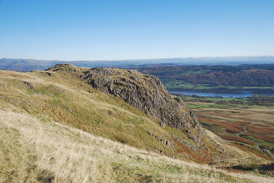
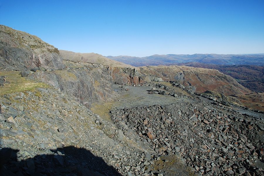
| Eventually the path reaches the ridge line above the disused east face quarries and joins the popular path which comes up from Low Water |
 |
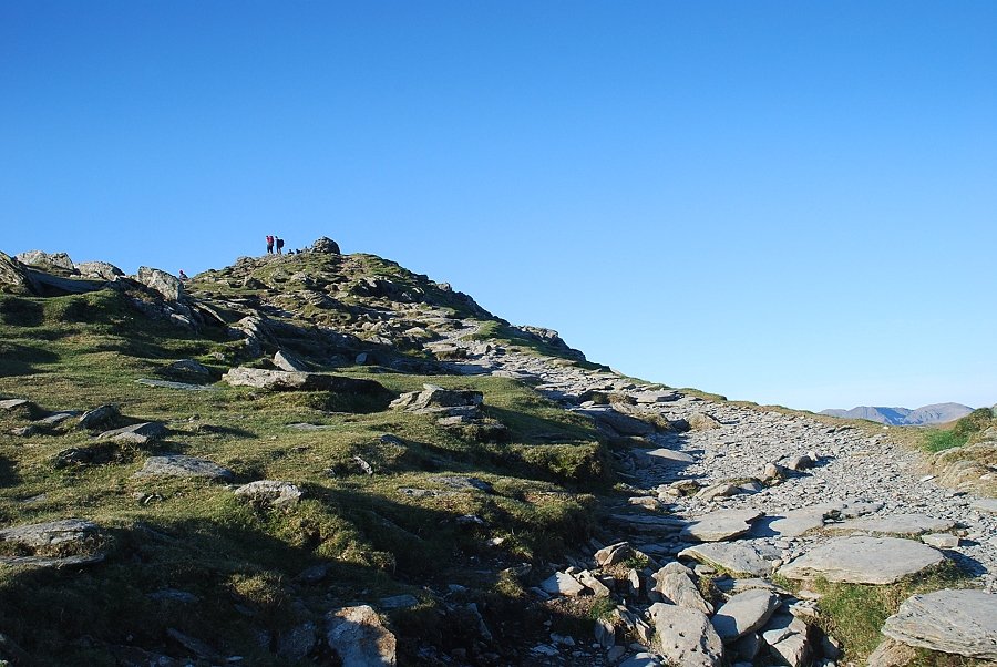
| The summit of Coniston Old Man comes into view |
 |
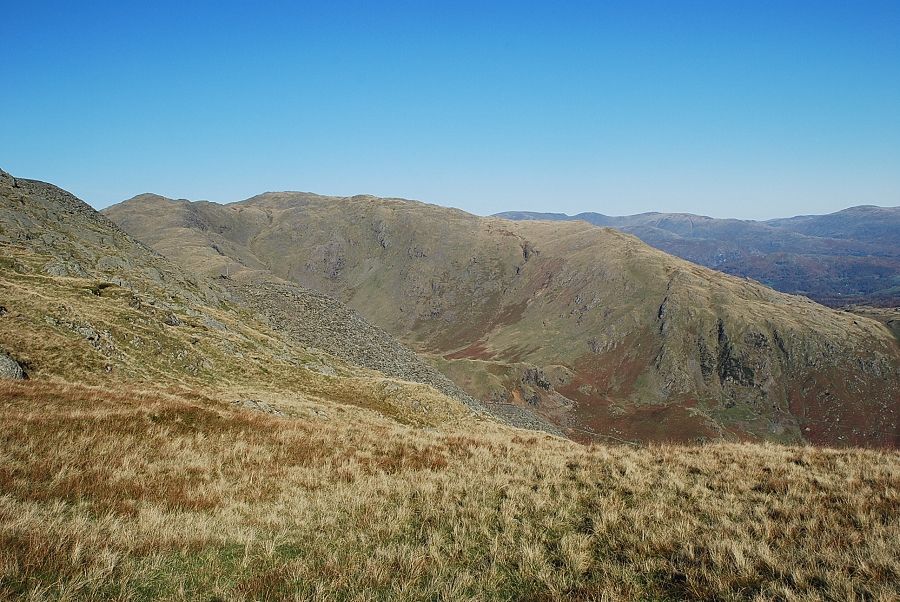
| Swirl How on the left and Black Sails on the right |
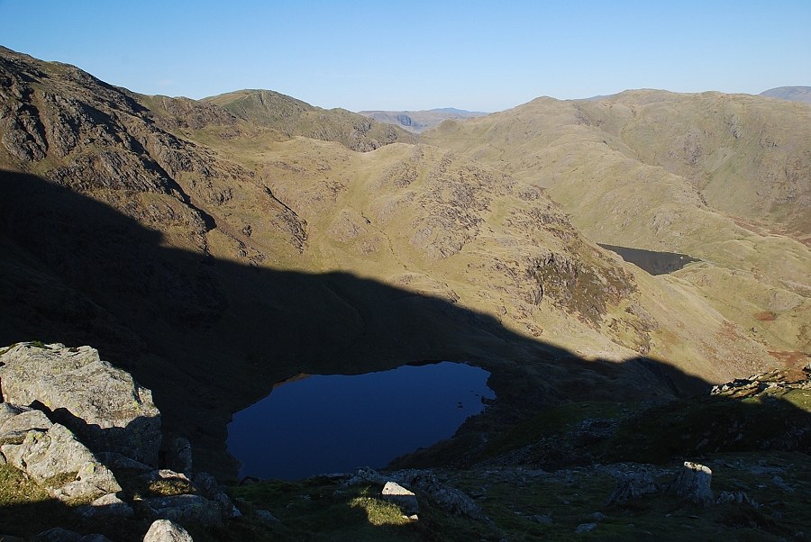 |
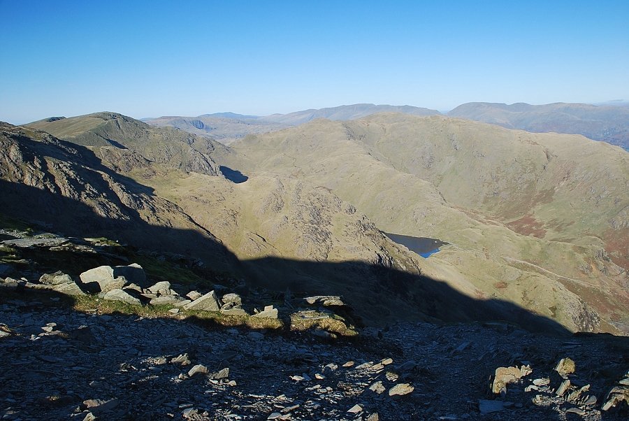
| Looking down the north-east combe to Low Water |
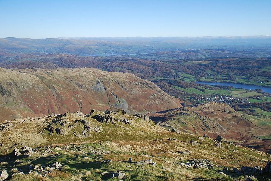 |
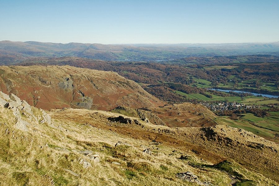
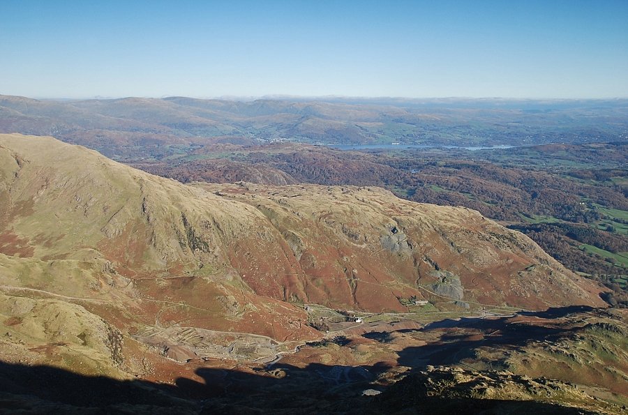
| Looking back to Windermere and Coniston Water |
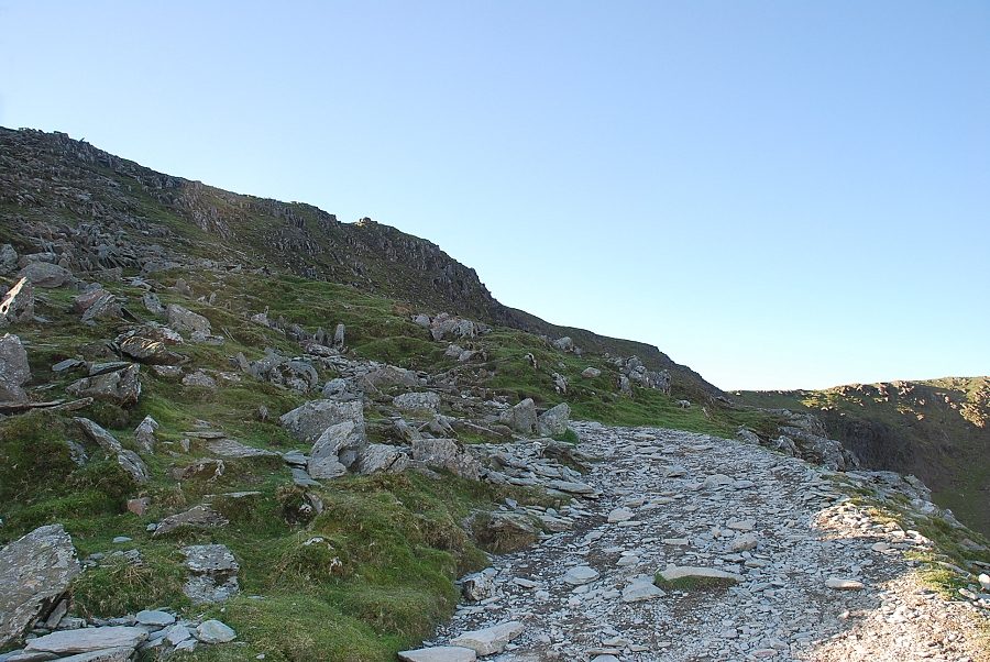 |
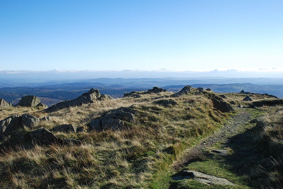
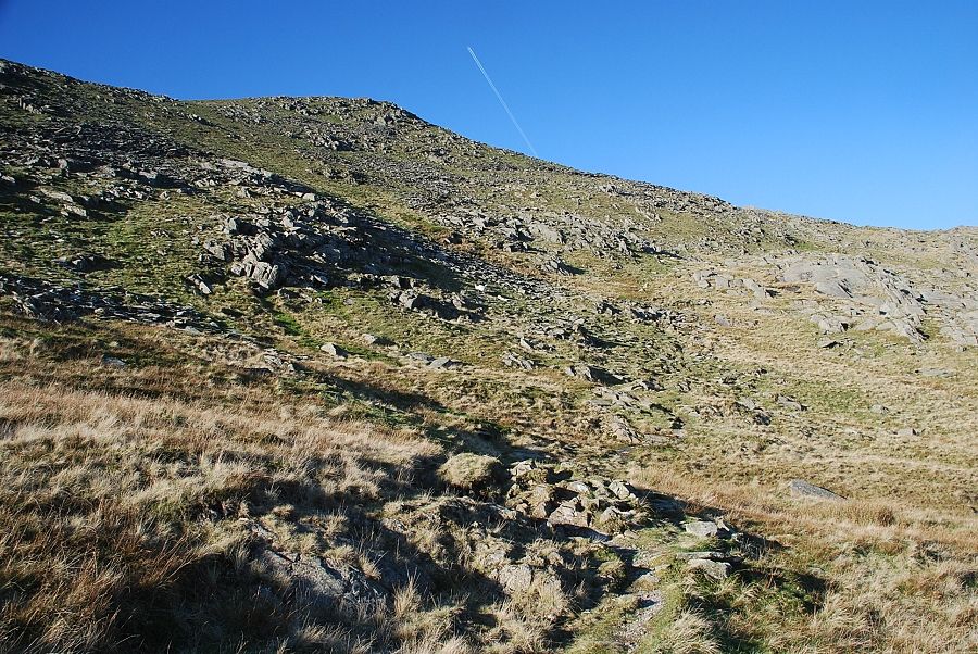
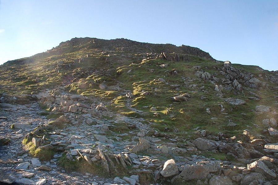
| The path to the summit ridge |
 |
| Blencathra, Helvellyn and Fairfield on the horizon |
 |
| Approaching the summit of Coniston Old Man |
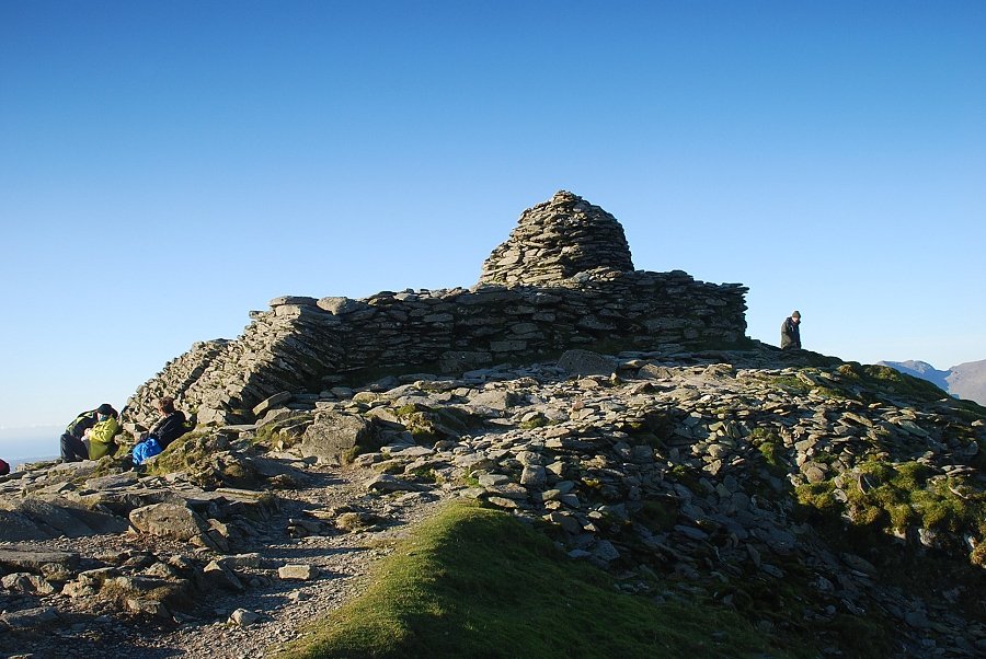 |
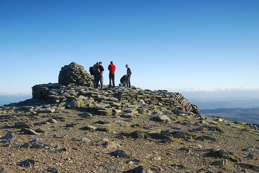
| The summit cairn |
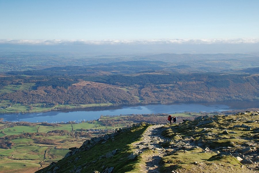 |
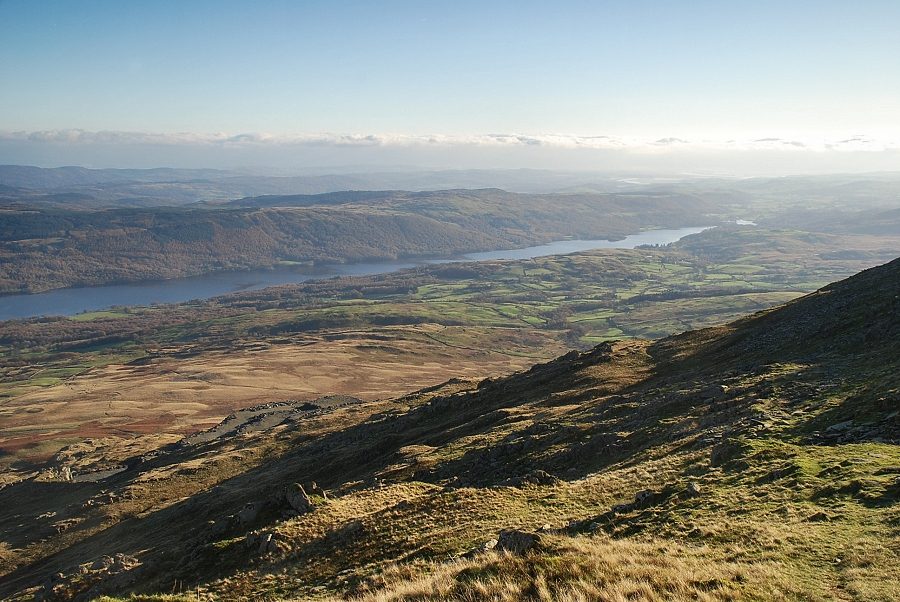
| Looking back to Coniston Water |
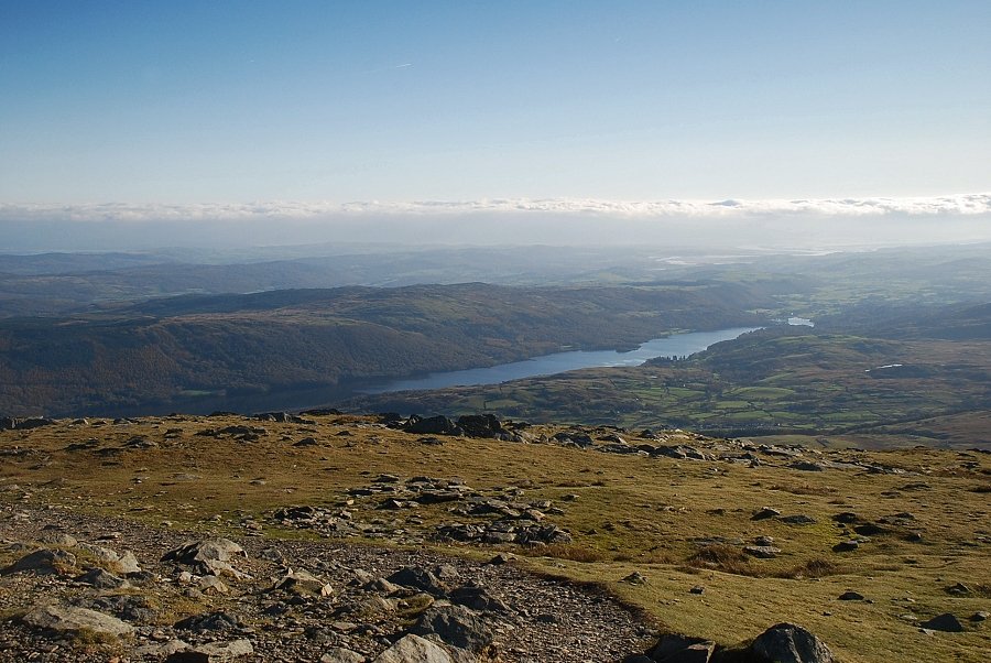 |
| The foot of Coniston Water from the summit of Coniston Old Man |
 |
| Brown Pike and Buck Pike from the summit of Coniston Old Man |
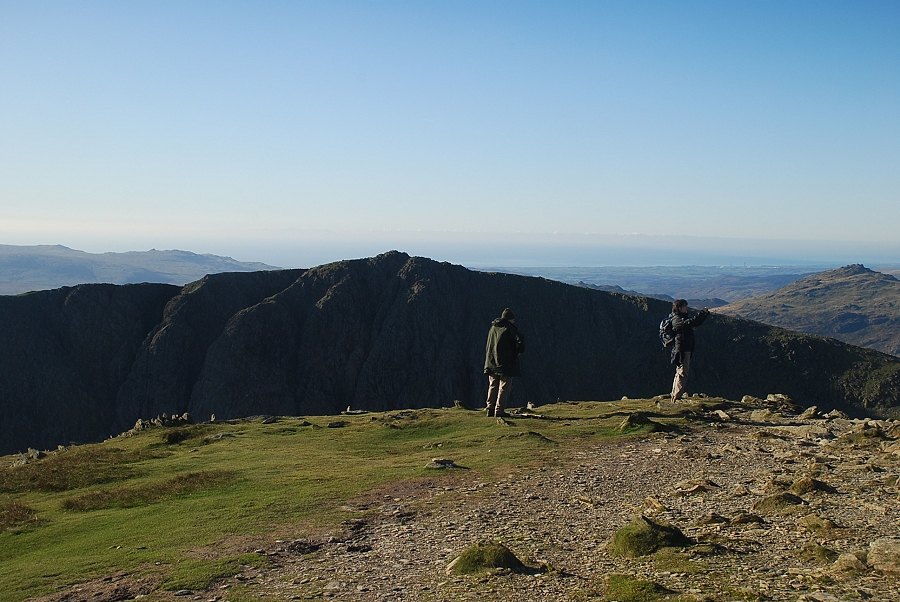 |
| Dow Crag from the summit of Coniston Old Man |
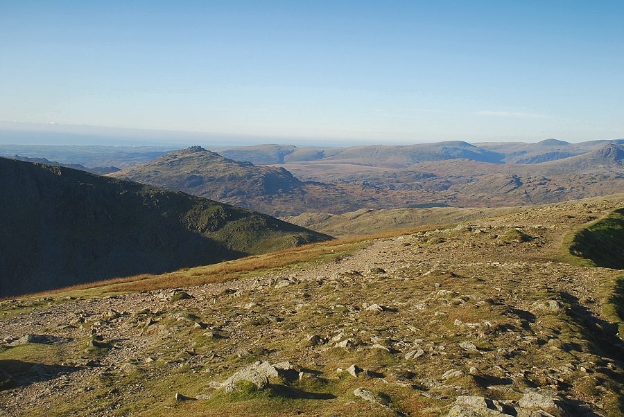 |
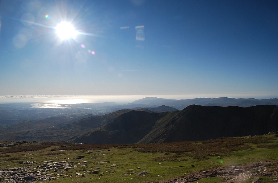
| Harter Fell, Whin Rigg, Ilgill Head, Seatallan and Haycock |
 |
| The summit cairn from the west |
 |
| The Scafells from the summit of Coniston Old Man |
 |
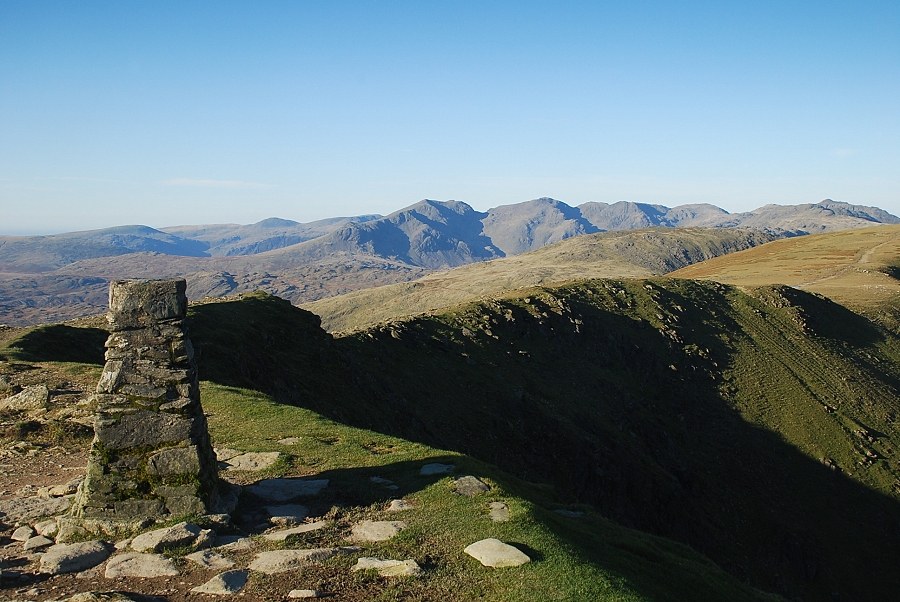
| Brim Fell, Great Carrs, Swirl How and Wetherlam with Skiddaw, Blencathra, Helvellyn and Fairfield on the skyline |
 |
| The Coppermines Valley and Windermere from the summit of Coniston Old Man |
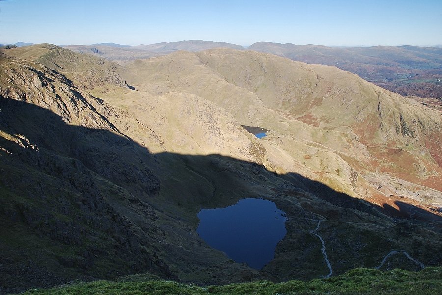 |
| Low Water and Levers Water from the summit of Coniston Old Man |
|