
| Crinkle Crags - Route One |
| Start - ODG Hotel NY 285 060 | Distance - 3.8 miles | Ascent - 2,790 feet | Time - 2 hours : 50 minutes |
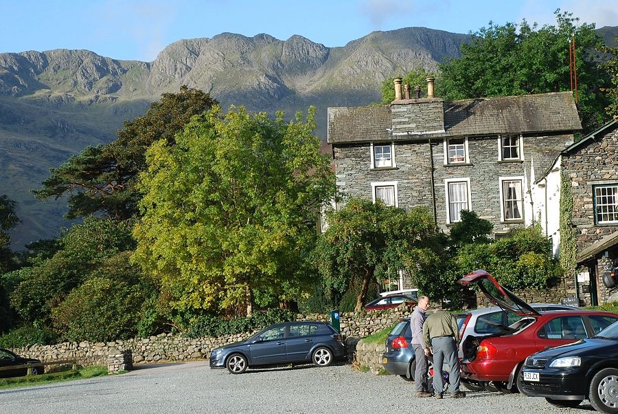 |
| The National Trust car park at the Dungeon Ghyll Old Hotel |
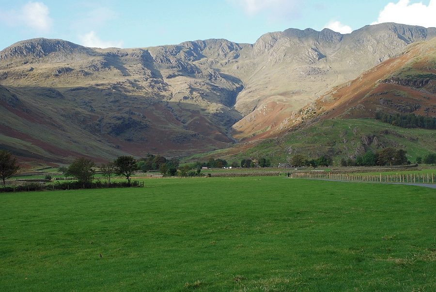 |
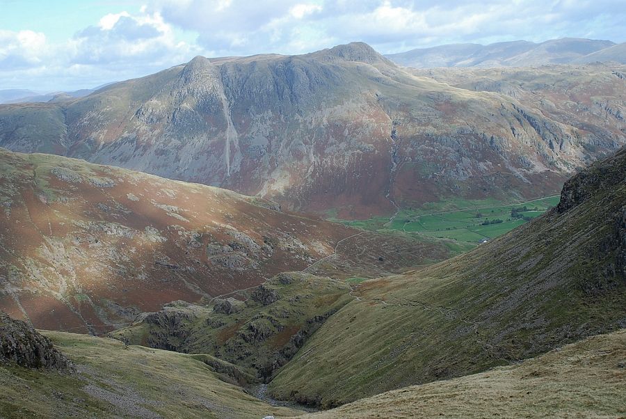
| Crinkle Crags from the Stool End Farm road |
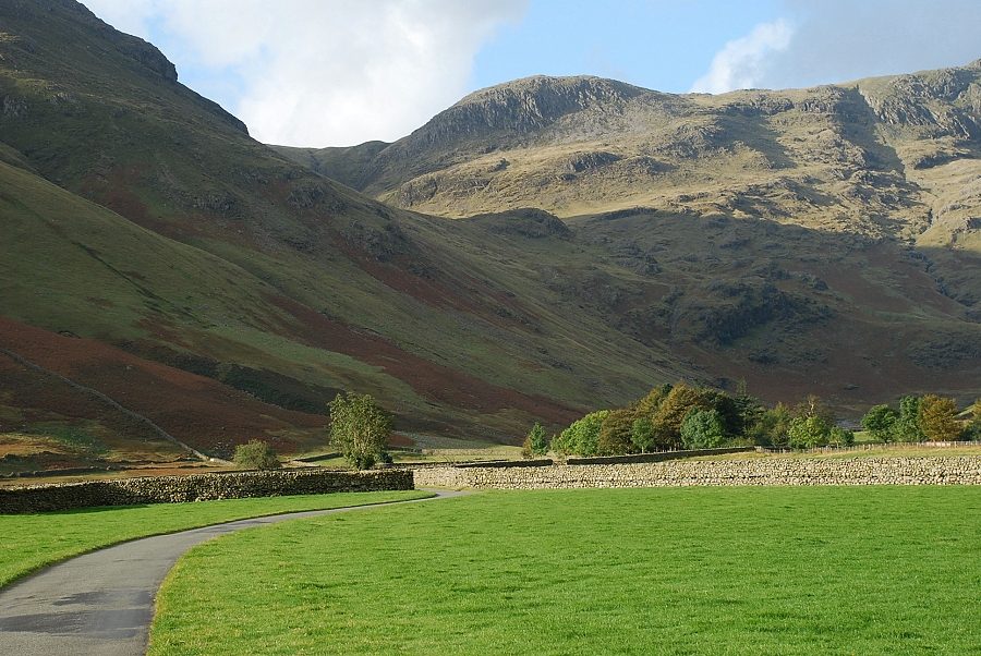 |
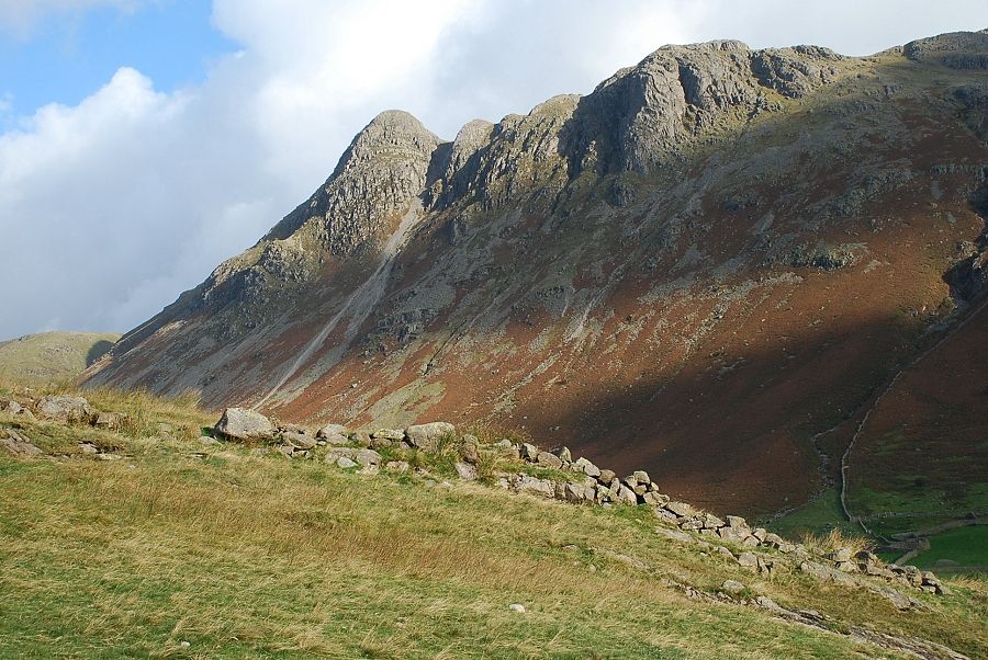
| Great Knott from the farm road. The route initially climbs to the col below its sunlit slopes in the centre of the photo |
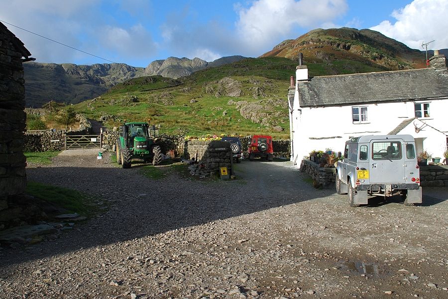 |
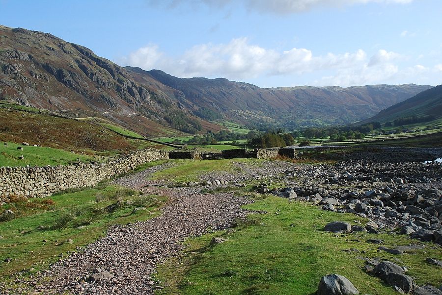
| Stool End farmyard. A rough track continues on through the gate towards Oxendale |
 |
| Pike o' Stickle and Gimmer Crag from the track above the farm |
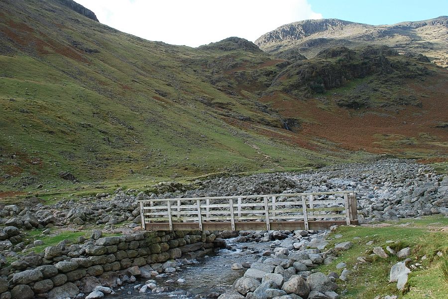 |
| Half a mile past the farm a footbridge over Oxendale Beck gives access to a path which climbs the northern slopes of Pike o' Blisco to Brown Howe |
 |
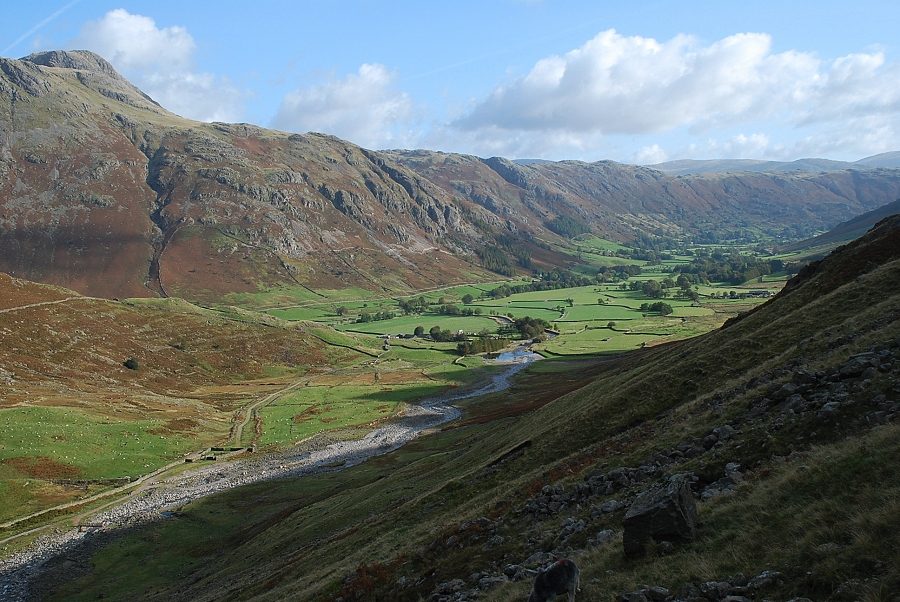
| Looking back to Great Langdale from the footbridge |
 |
| Crinkle Gill from the footbridge |
 |
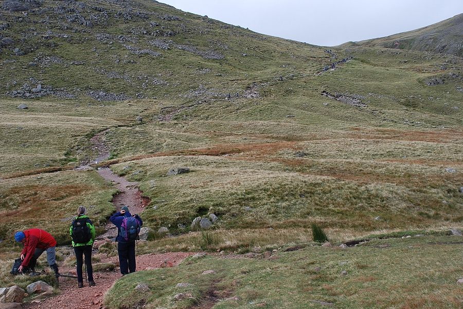
| Starting up the path towards Brown Howe |
 |
| Looking back to Great Langdale from the path |
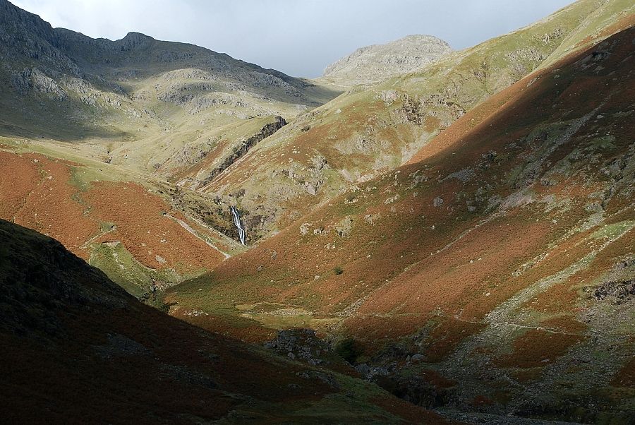 |
| Whorneyside Force at the head of Oxendale |
 |
| Looking back to the Langdale Pikes |
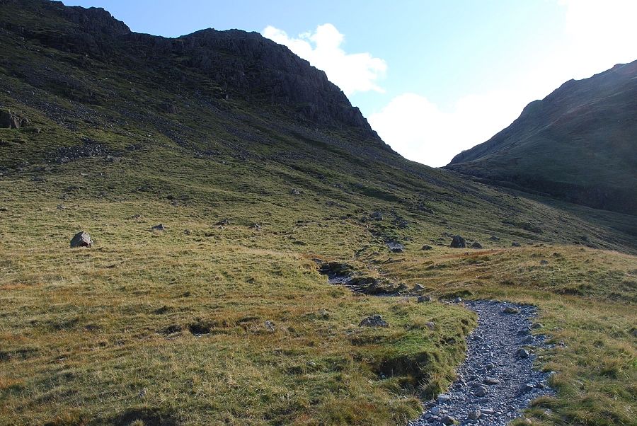 |
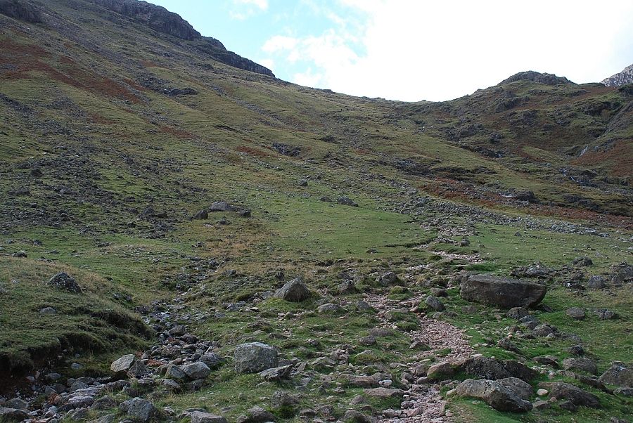
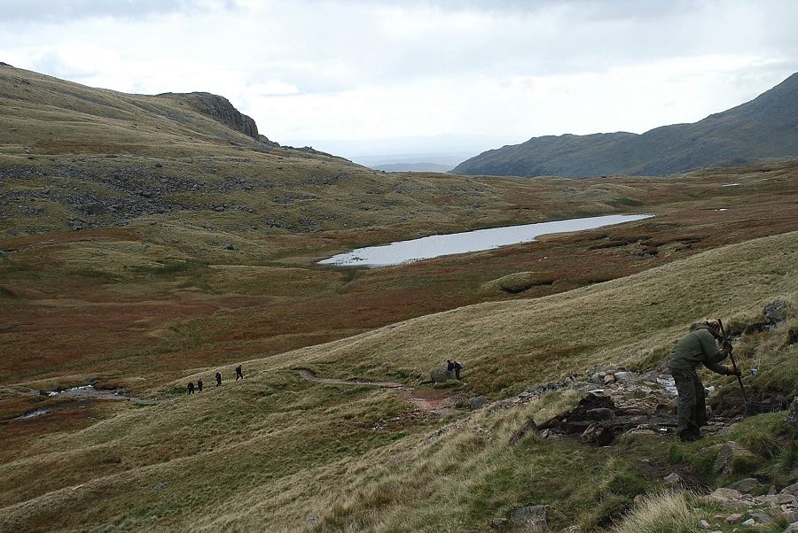
| Looking up from the col below Brown Howe. The path continues on below the crags of Black Wars towards Red Tarn col |
 |
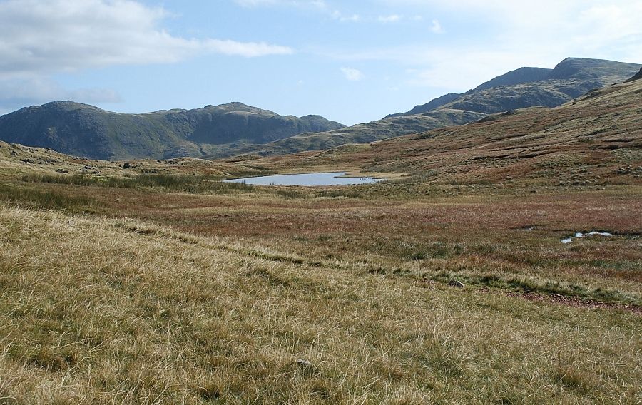
| Great Knott and the head of Browney Gill |
 |
| From the same position, looking across the slopes of Great Knott to the summit ridge of Crinkle Crags |
 |
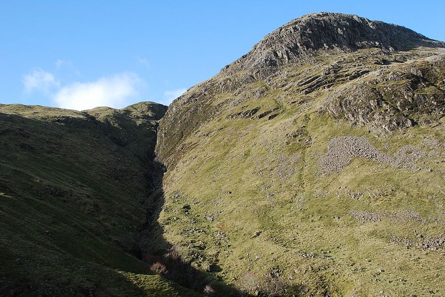
| Looking back along the path. The ravine of Browney Gill is on the left with the top of Brown Howe in the centre of the photo |
 |
| After a final sharp rise the path reaches the wide grassy col between Pike o' Blisco and Cold Pike near to Red Tarn |
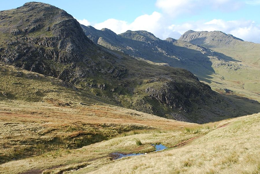 |
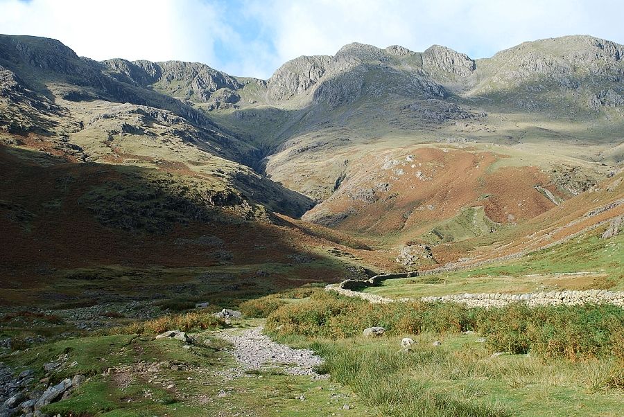
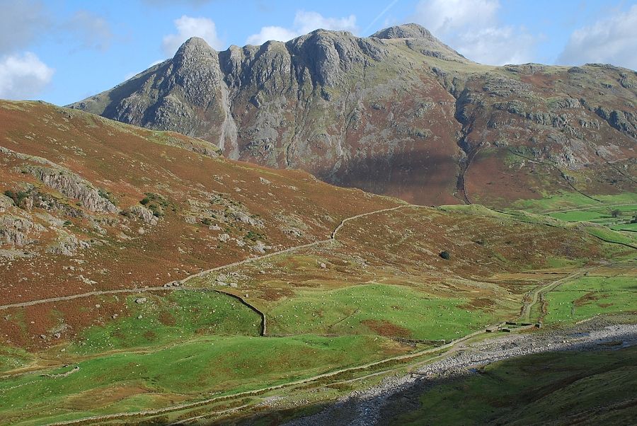
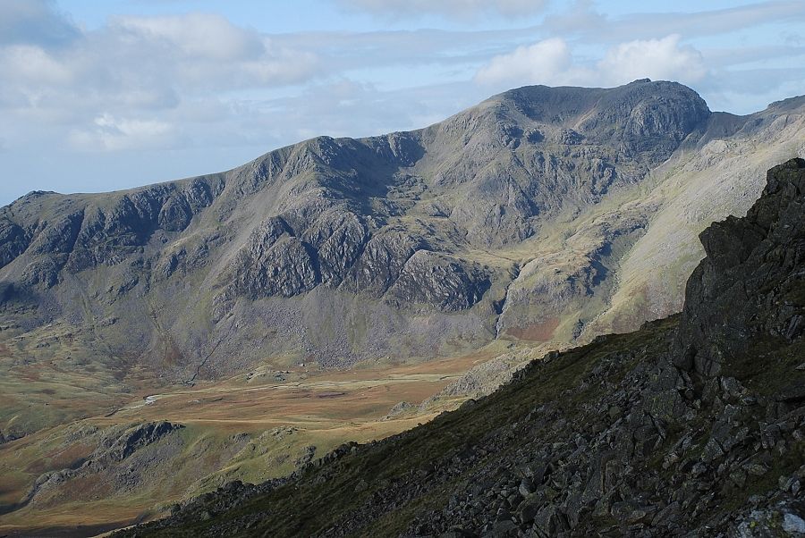
| Great Knott, Crinkle Crags and Bowfell from the col |
 |
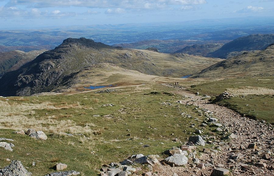
| The way ahead from the col. The path crosses the north eastern slopes of Cold Pike and continues on behind Great Knott |
 |
| Red Tarn from the path which at the time of this walk was being repaired by a Fix the Fells team |
 |
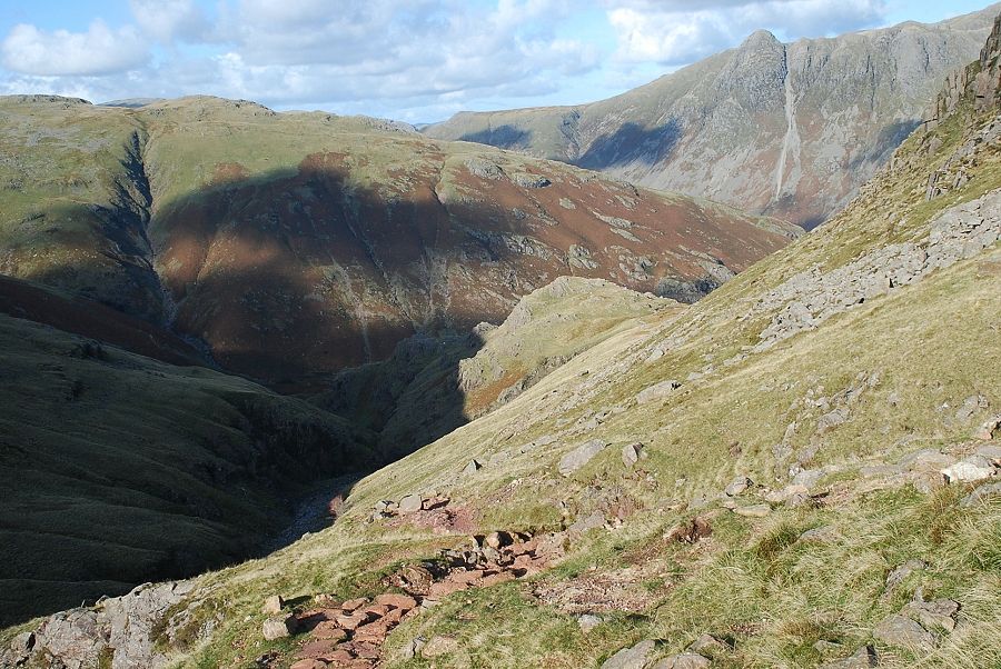
| Looking down to Browney Gill and the path below Black Wars |
 |
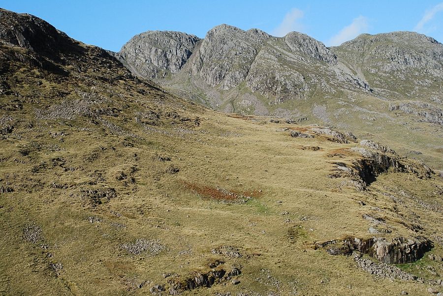
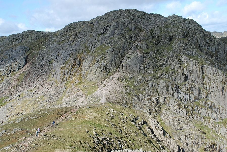
| Crinkle Crags from the the path behind Great Knott. The summit, named Long Top, is in the centre |
 |
| Looking back from higher on the path. The summit of Great Knott lies above the small tarn on the left |
 |
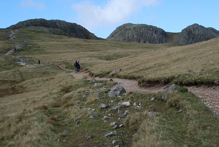
| Approaching the foot of the first crinkle |
 |
| Scafell from the start of the path over the first crinkle |
 |
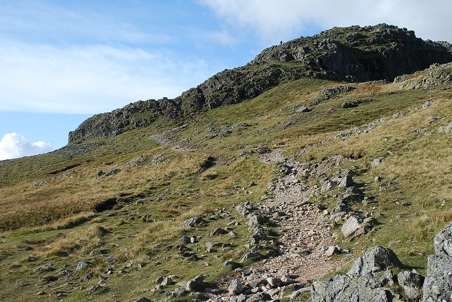
| A clear path traverses the first crinkle near its right edge giving dramatic views of Great Langdale |
 |
| Looking across Great Cove to the top of third crinkle |
 |
| Great Langdale from the summit of the first crinkle |
 |
| A steep descent leads to a grassy depression beneath the second crinkle from where there are two options. Either make a direct ascent via The Bad Step, seen here in the centre of the photo or, more easily, traverse over to the left and ascend the eroded path which avoids all difficulties |
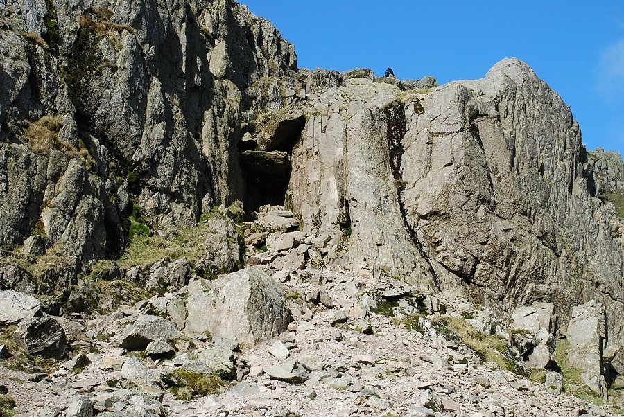 |
| Approaching The Bad Step, a short but steep wall to the right of a gully which is blocked by two massive chockstones. Wainwright described this as a difficult obstacle but the ascent is easier than it looks. A walker can be seen above it gives an idea of its height |
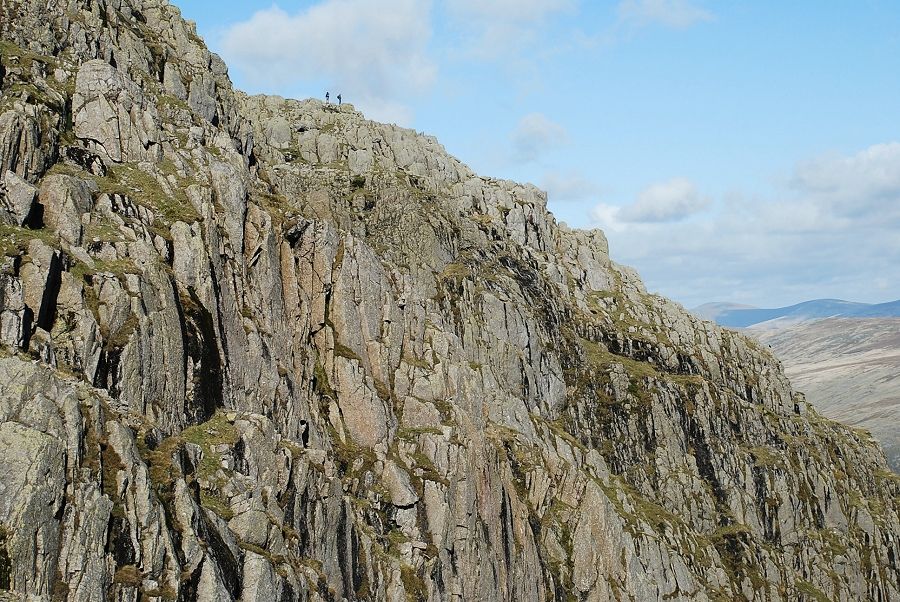 |
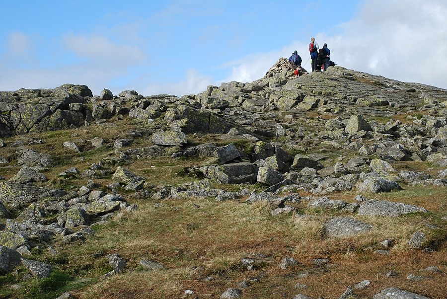
| Looking right from The Bad Step to two walkers on the top of the third crinkle |
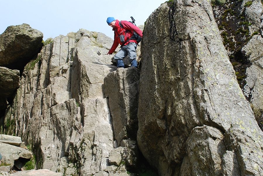 |
| Climbing The Bad Step. This is the steepest section that leads to an easy ramp above the chockstones on the left |
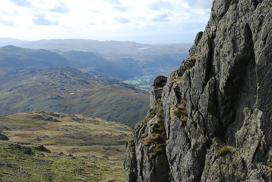 |
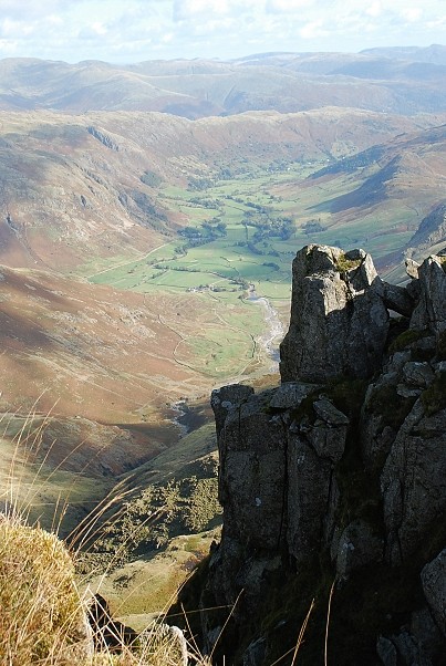
| Looking out to Eskdale and Devoke Water from the top of The Bad Step |
 |
| Above The Bad Step sloping rock ledges and a rough scree path lead to easier ground and the summit comes into view |
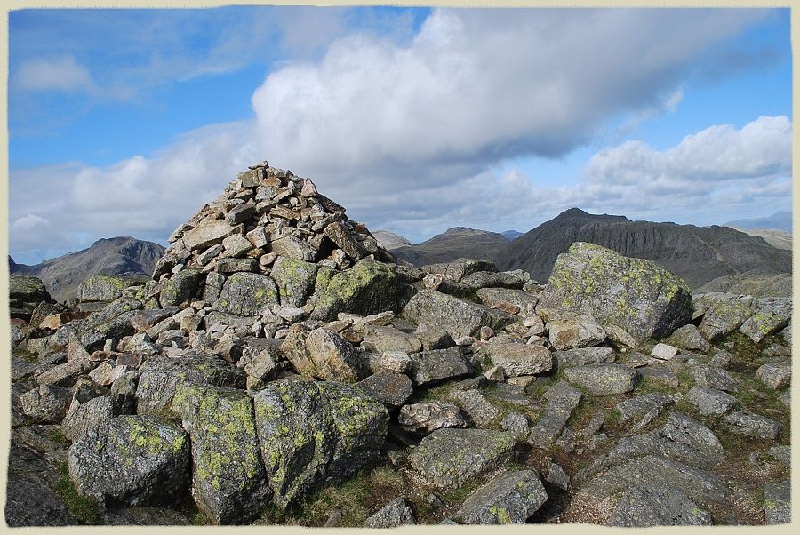 |
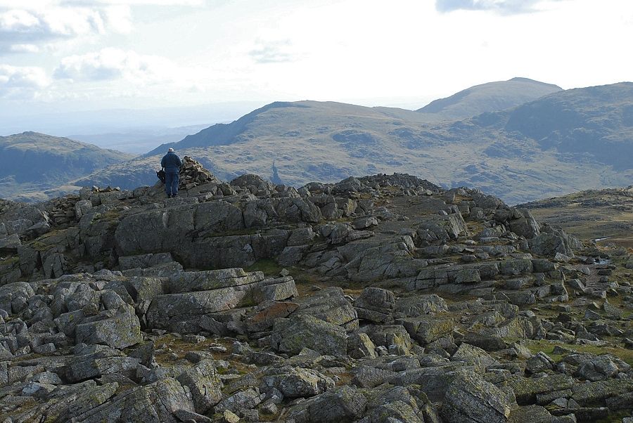
| The summit cairn of Crinkle Crags on Long Top Crinkle Crags - page 15 |
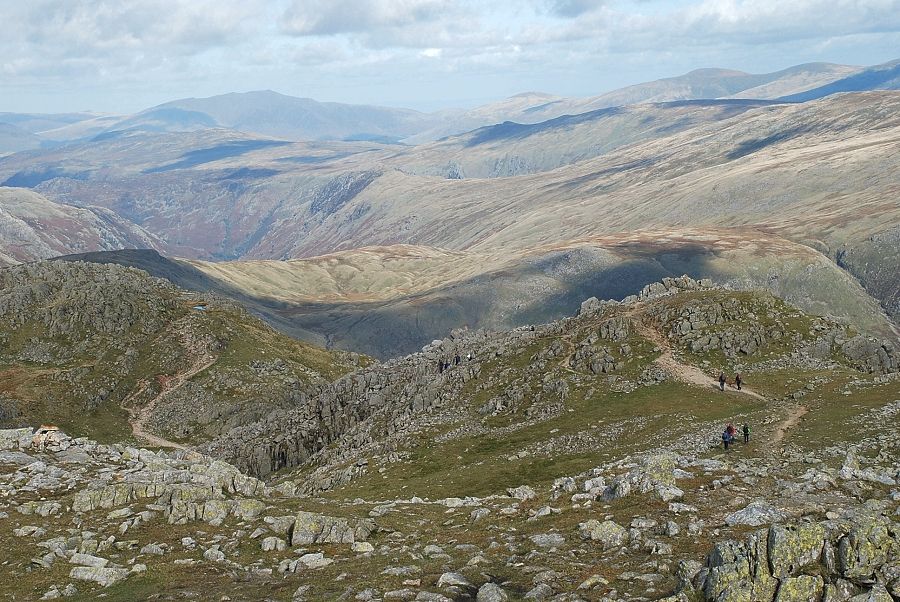 |
| The ridge path continues on over the fourth and fifth crinkles |
 |
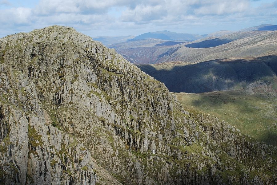
| Looking over the top of the third crinkle to the Langdale Pikes |
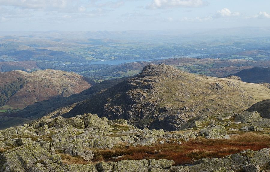 |
| Windermere with Lingmoor Fell on the left and Pike o' Blisco in the centre |
 |
| Black Sails on the left, Great Carrs and Swirl How in the centre with Coniston Old Man and Grey Friar on the right |
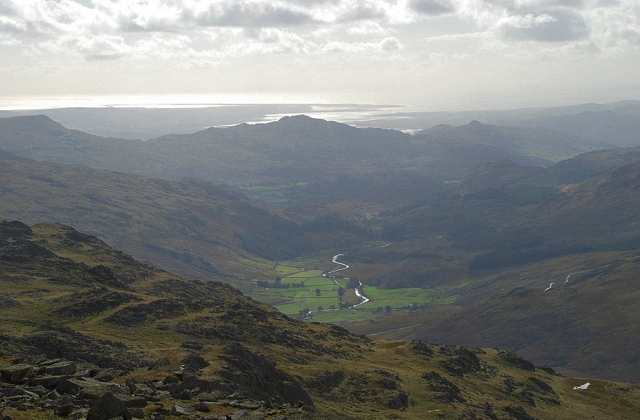 |
| The upper Duddon Valley |
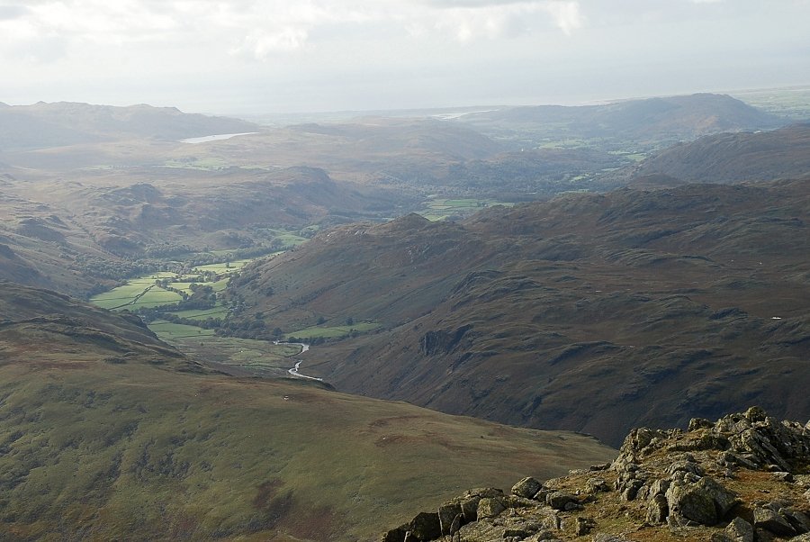 |
| Eskdale |
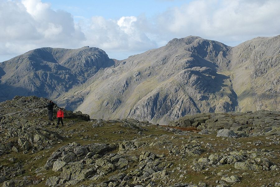 |
| Scafell and Scafell Pike |
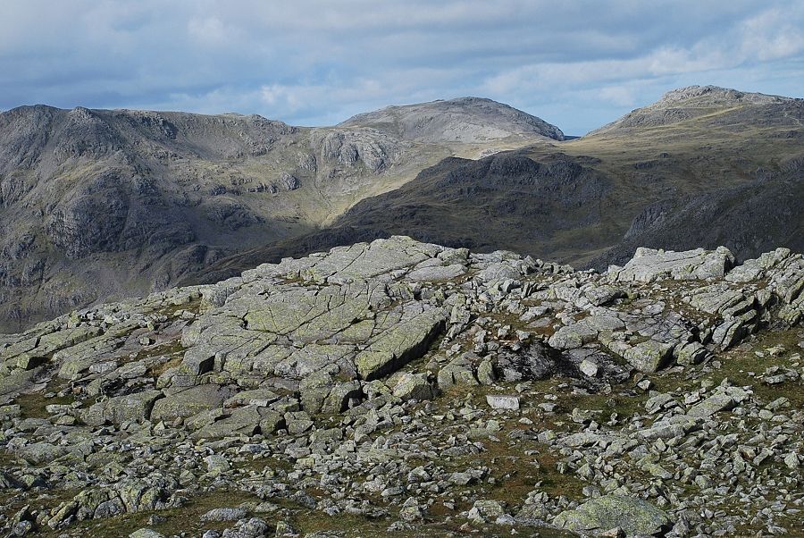 |
| Looking north west to Ill Crag, Great End and Esk Pike |
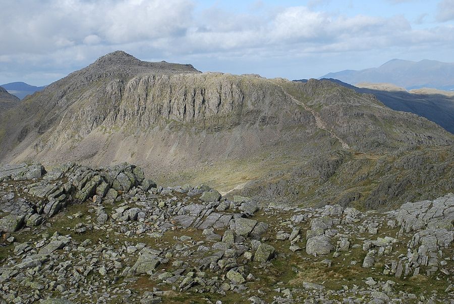 |
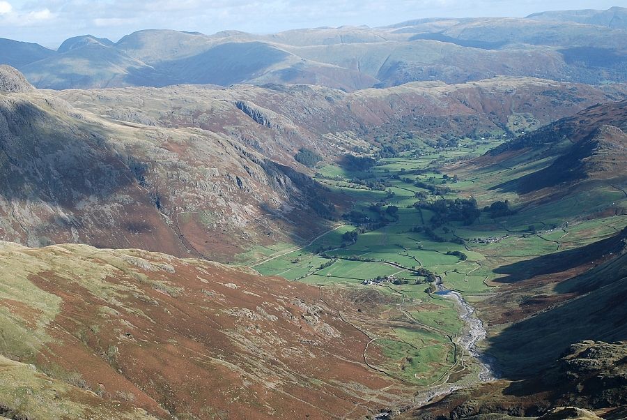
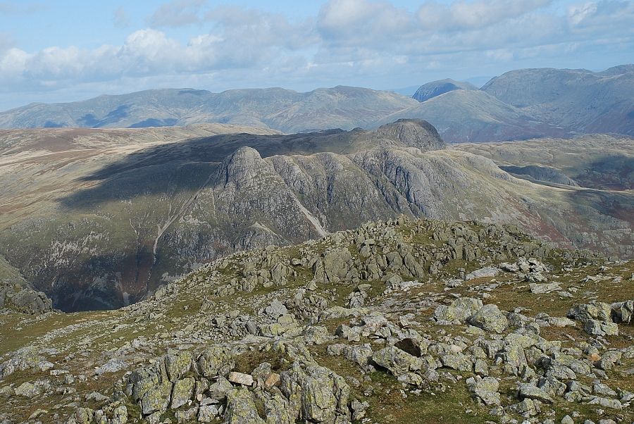
| Bowfell from Long Top |
|