
| Dove Crag - Route One |
| Start - Cow Bridge NY 402 134 | Distance - 3.3 miles | Ascent - 2,200feet | Time - 2 hours : 25 minutes |
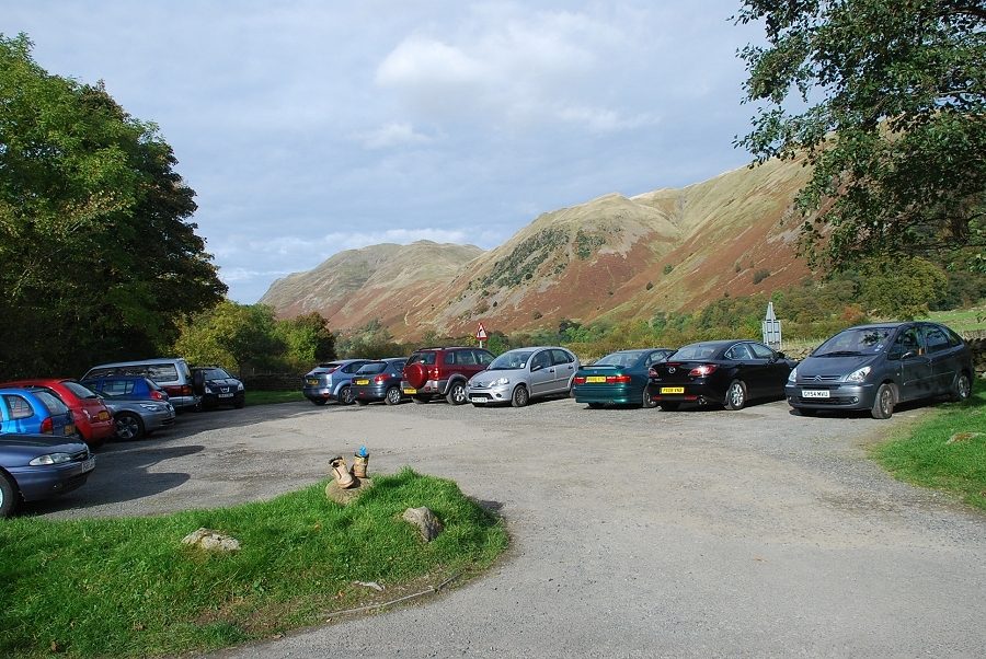 |
| The National Trust car park at Cow Bridge is the starting point for this walk |
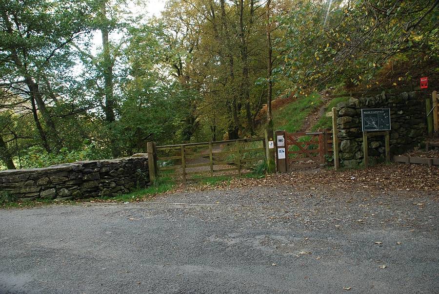 |
| A gate at the southern end of the car park gives access to a track that runs alongside Brothers Water to Hartsop Hall and Dovedale |
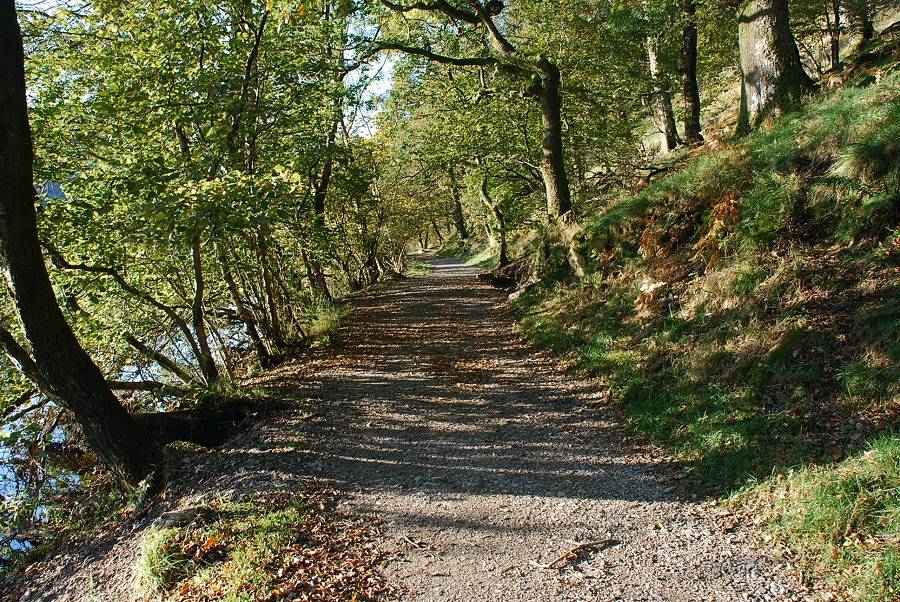 |
| The track to Hartsop Hall |
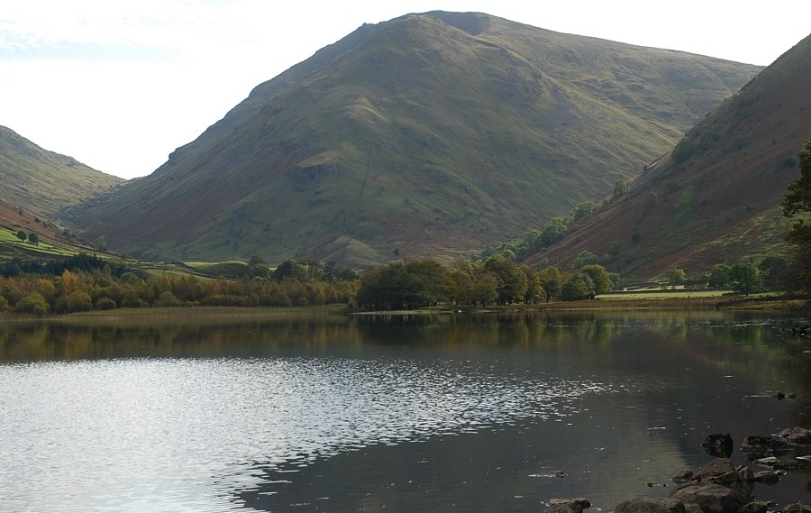 |
| Middle Dodd and Red Screes across Brothers Water |
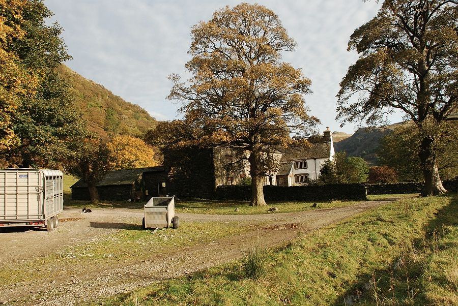 |
| Hartsop Hall |
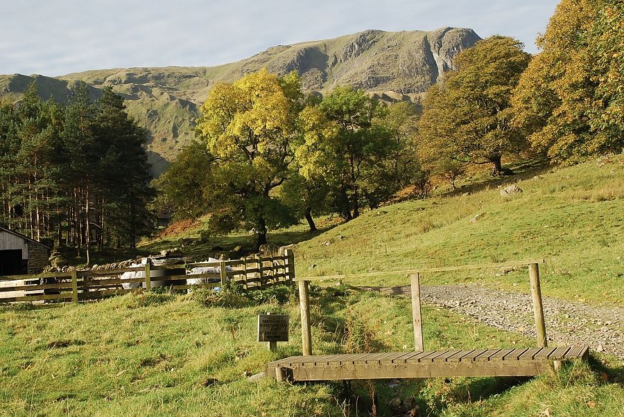 |
| Past Hartsop Hall the track continues on into Dovedale to Dove Falls. This route turns off to the right by a larch spinney onto a green path rising towards the old lead mine |
 |
| Dove Crag from the path with Hart Crag on the right |
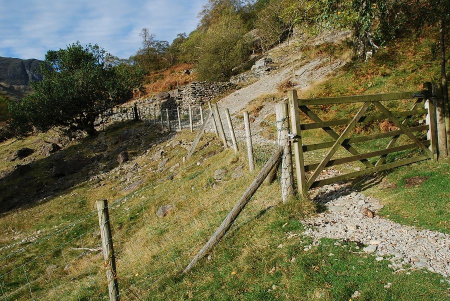 |
| Entering the fenced off area of the Hartsop Hall lead mine |
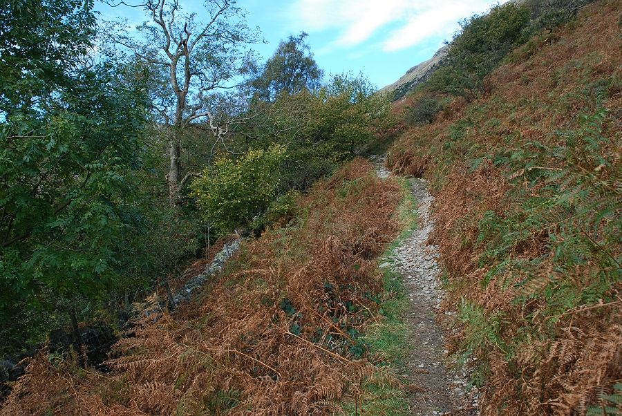 |
| The path leads on from the mine through woodland along the flank of Hartsop above How |
 |
| The path emerges from the wood at a handgate above Dove Falls |
 |
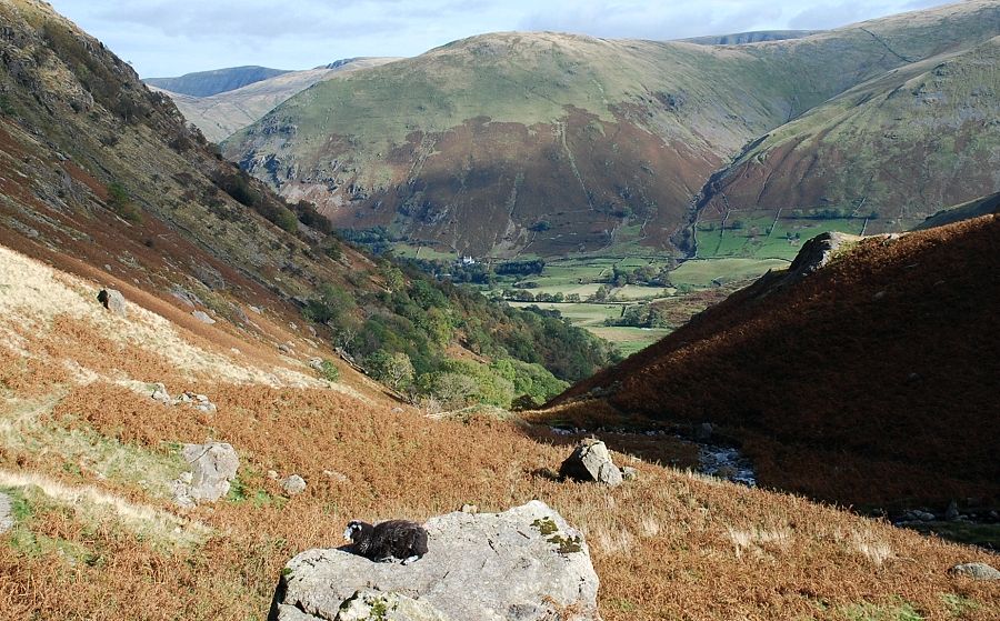
| Looking back along the path to Hartsop Dodd |
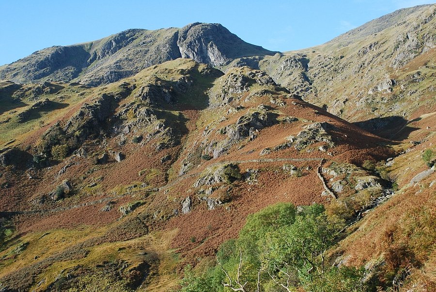 |
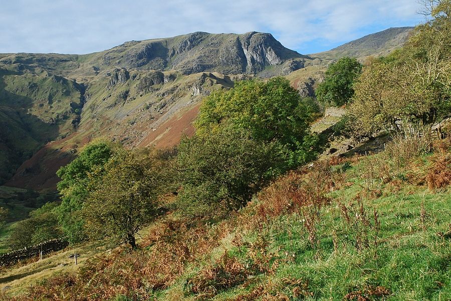
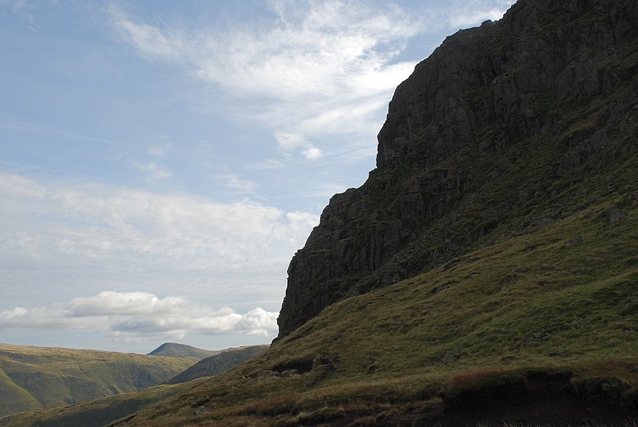
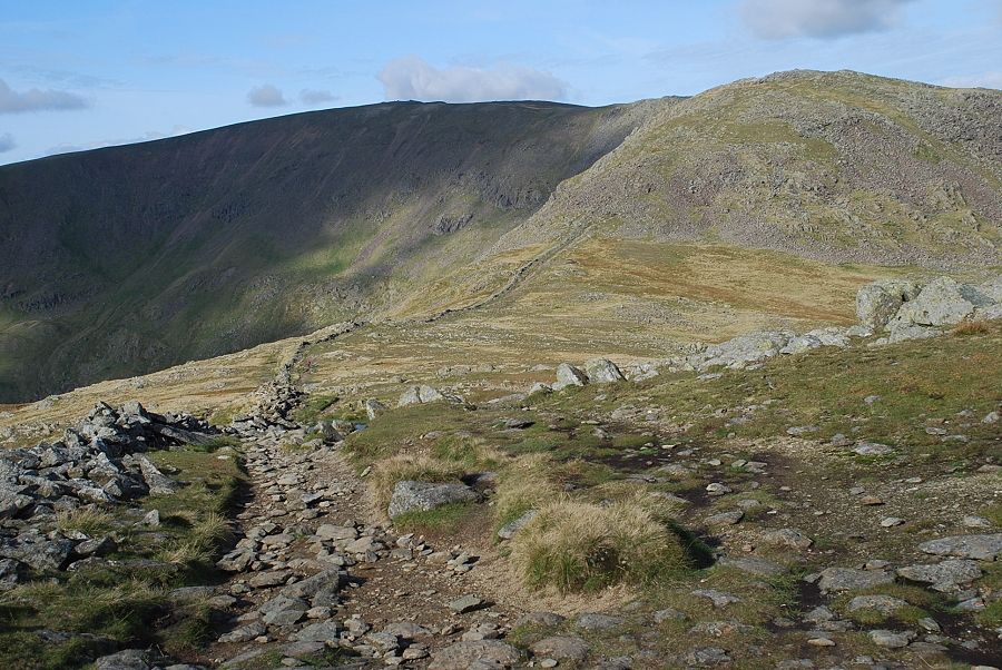
| Dove Crag above the Stangs ridge with Hart Crag on the right. The route climbs to the col between them |
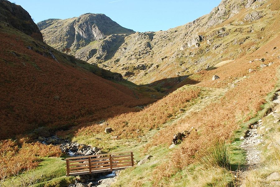 |
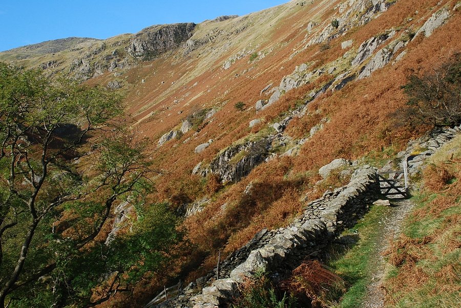
| Passing the footbridge over Dovedale Beck, the path coming up from Dove Falls joins at this point |
 |
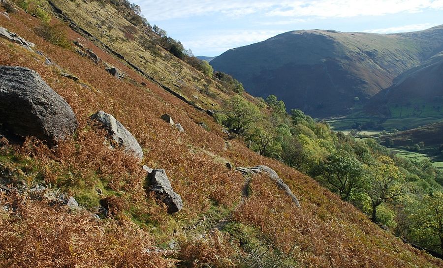
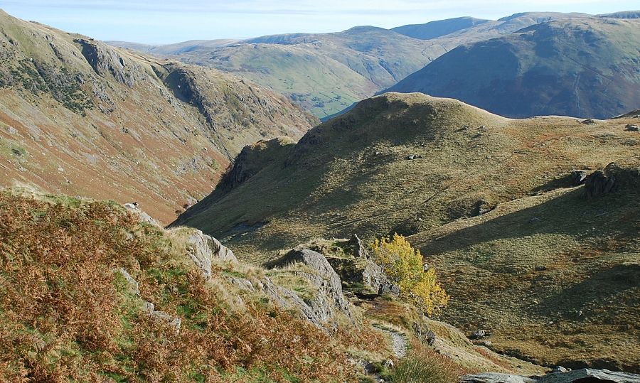
| Higher on the path above Dovedale looking back to Hartsop Dodd |
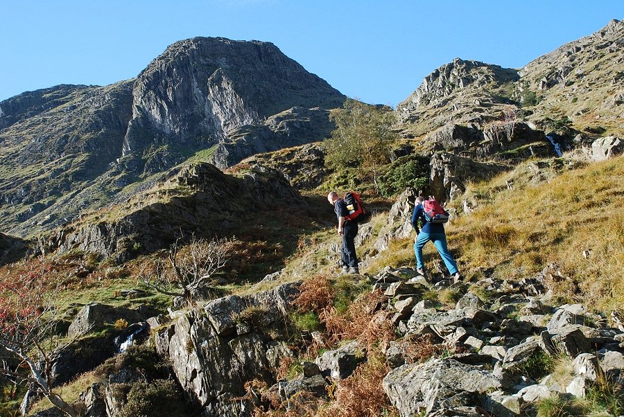 |
| Climbing towards Hunsett Cove |
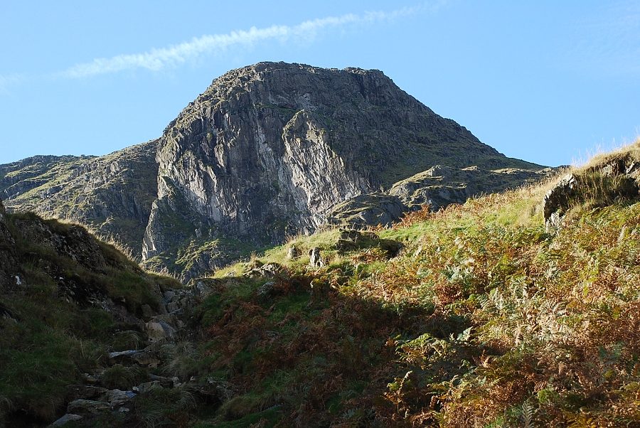 |
| Dove Crag from the edge of Hunsett Cove |
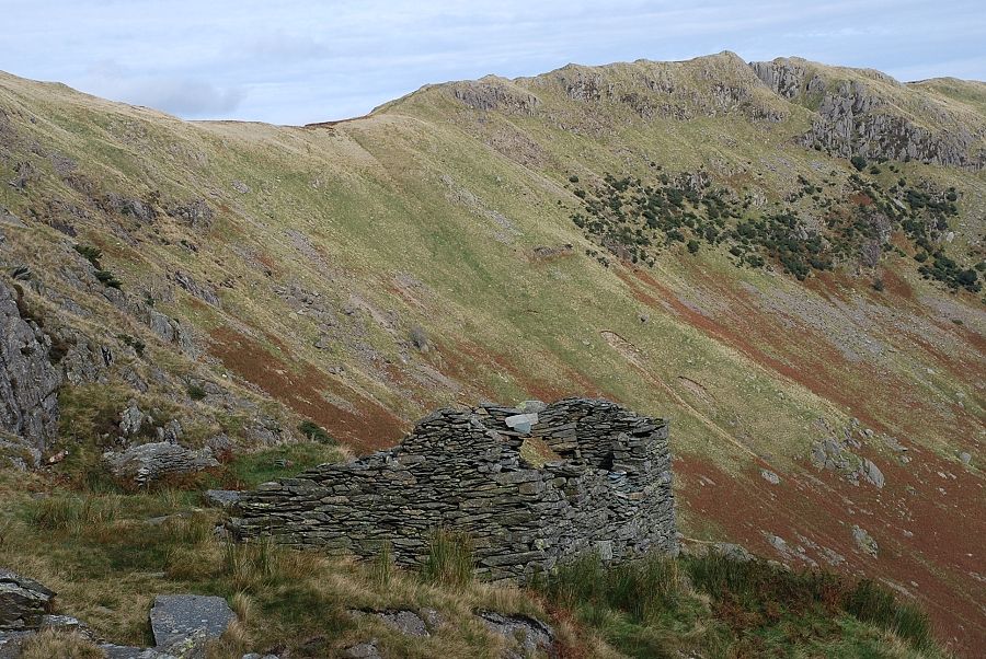 |
| Looking back to Hartsop above How from the ruined hut in Hunsett Cove |
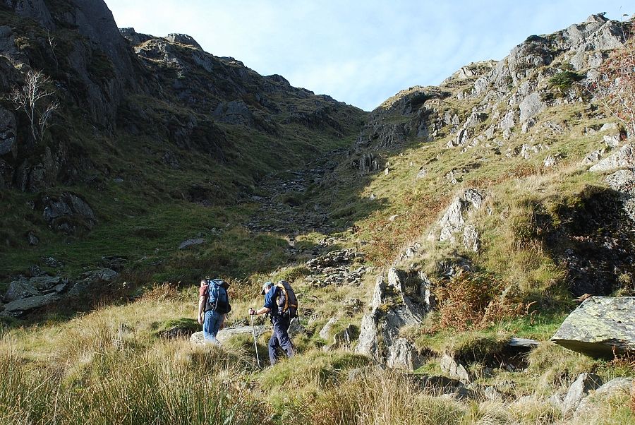 |
| The start of the climb out of Hunsett Cove. The steep path up the scree gully has been stone pitched in recent years |
 |
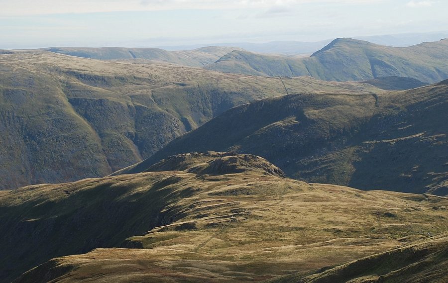
| Looking back over the top of Stangs to the Far Eastern Fells |
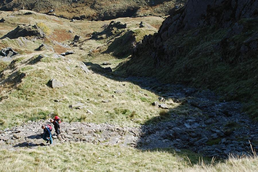 |
| Looking down the scree gully, which proves to be the steepest part of this route |
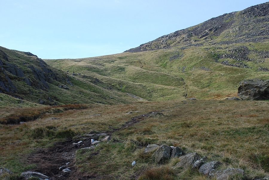 |
| The path emerges onto a peaty shoulder above Houndshope Cove. From here it's an easier climb towards the col between Dove Crag and Hart Crag |
 |
| From Houndshope Cove, Place Fell appears over the Hartsop above How ridge |
 |
| Dove Crag from the path in Houndshope Cove |
 |
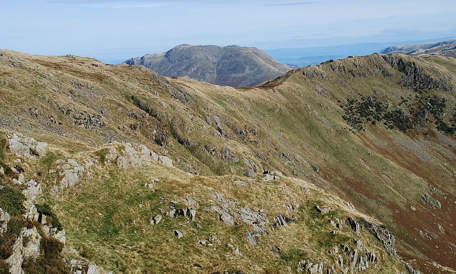
| Looking back to Place Fell from the col between Hart Crag and Dove Crag |
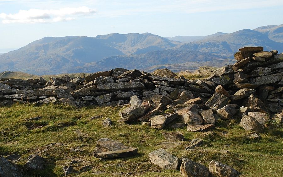 |
| The Coniston fells from the col between Dove Crag and Hart Crag |
 |
| Coniston Water from the col |
 |
| Great Gable over the Great Rigg ~ Fairfield ridge |
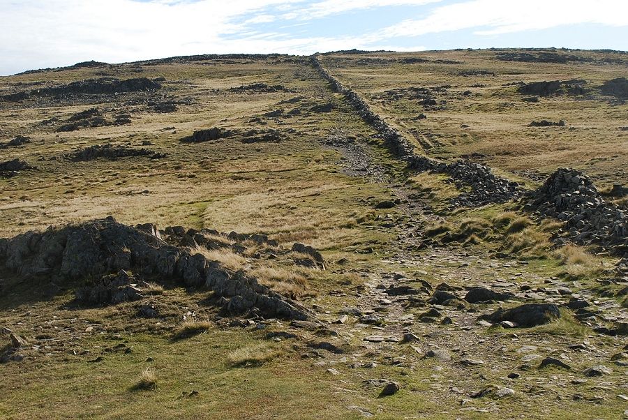 |
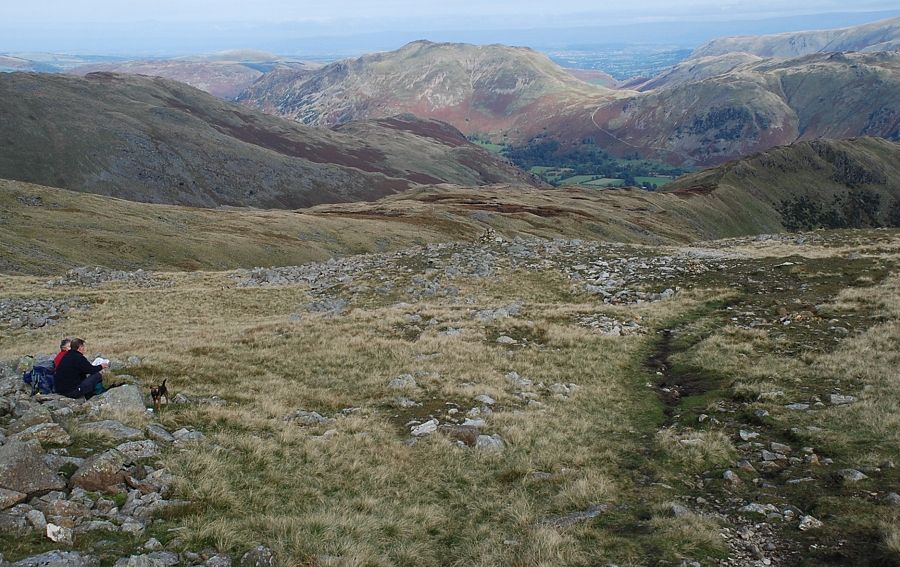
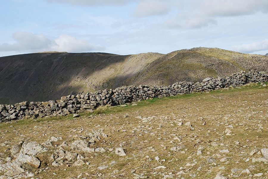
| From the col an easy climb leads to the summit of Dove Crag, it's just a matter of following the line of the ruined wall |
 |
| Looking back to the col backed by Hart Crag and Fairfield |
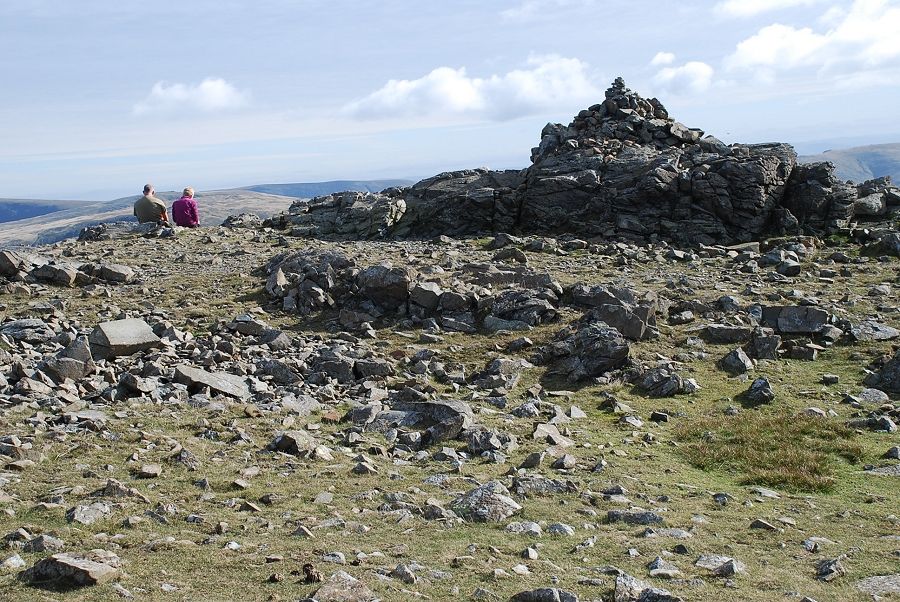 |
| The summit of Dove Crag |
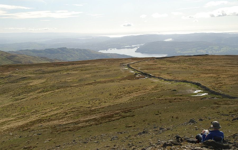 |
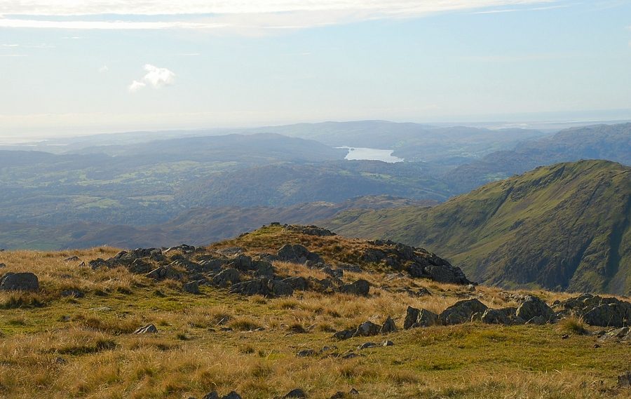
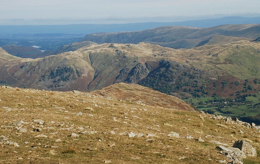
| Windermere from the summit of Dove Crag |
 |
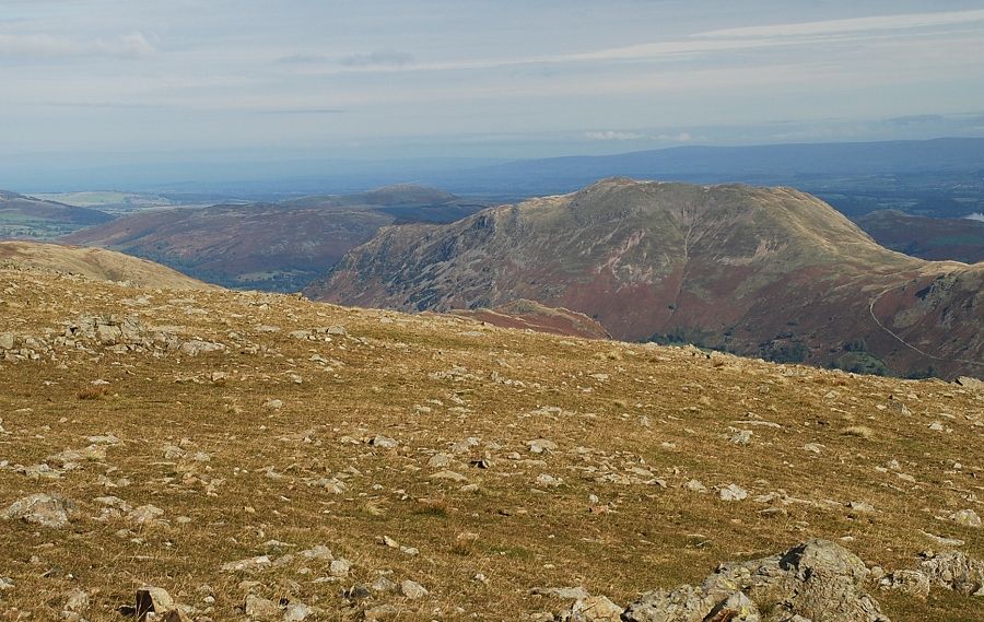
| Red Screes from the summit of Dove Crag |
 |
| Looking down to Little Hart Crag |
 |
| Angletarn Pikes and Brock Crags in the middle distance |
 |
| Place Fell |
 |
| Helvellyn and Catstycam on the left with St. Sunday Crag on the right |
 |
| Fairfield and Hart Crag |
 |
| Looking west over Great Rigg to Great Gable and Pillar on the horizon |
 |
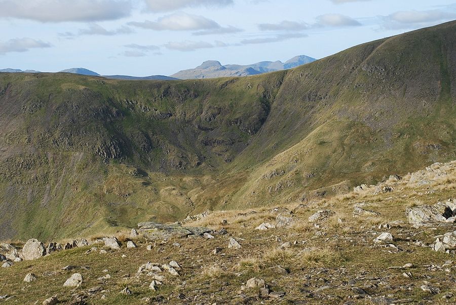
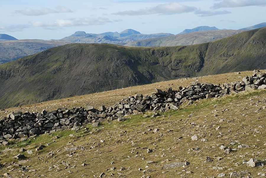
| Crinkle Crags, Bowfell and The Scafells on the skyline |
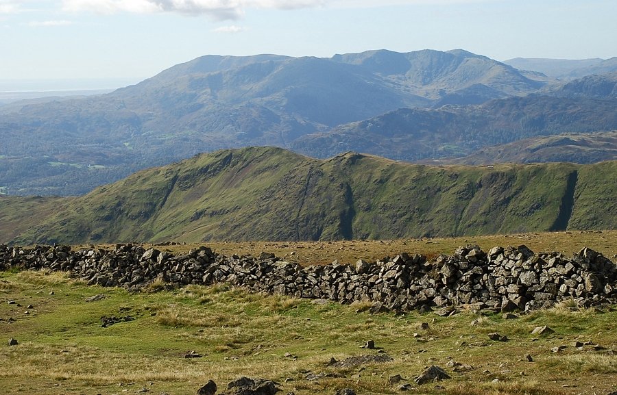 |
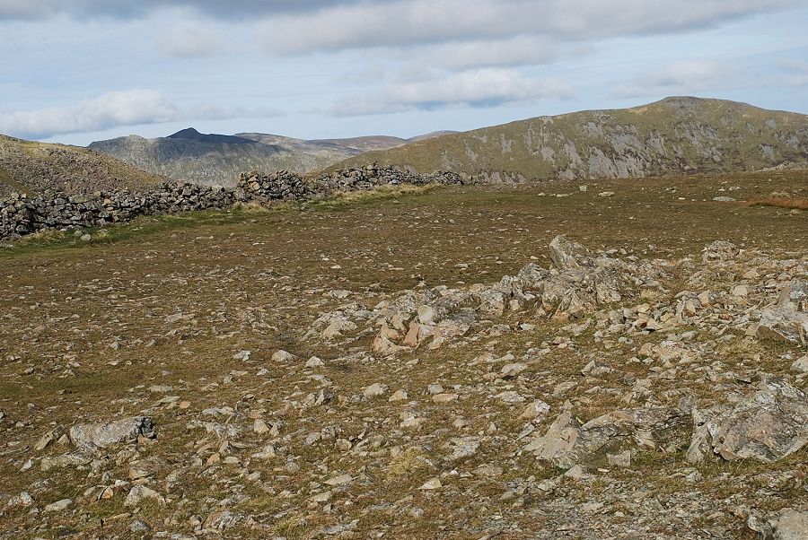
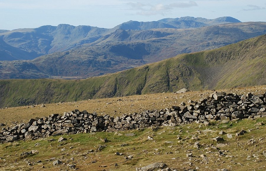
| The Coniston fells from the summit of Dove Crag |
|