
| Dow Crag - Route Three |
| Start - Little Arrow SD 290 949 | Distance - 3.4 miles | Ascent - 2,300 feet | Time - 2 hours : 30 minutes |
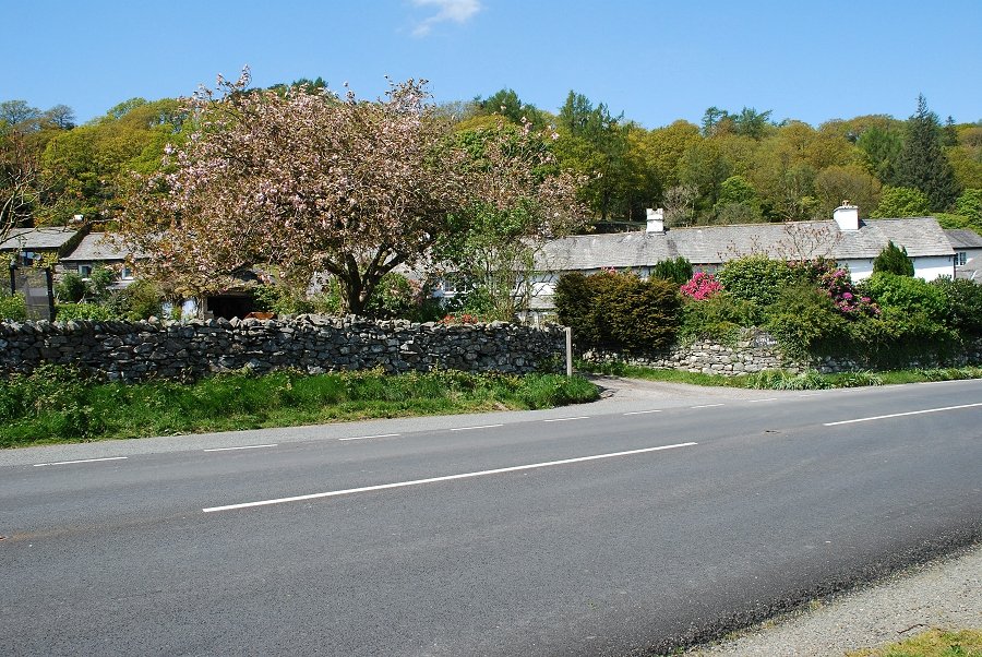 |
| The small hamlet of Little Arrow on the A593 Broughton in Furness - Coniston road about half a mile east of Torver. A public footpath sign points up the narrow lane alongside the cottages |
 |
| At the end of the lane there is a stile and a gate |
 |
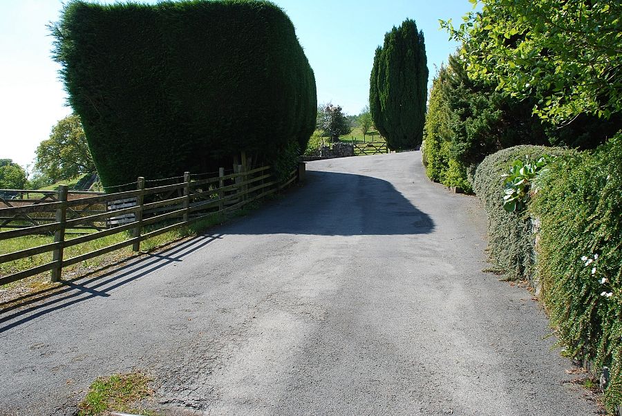
| Through the gate, a path climbs quite steeply by the edge of a small field to another gate giving access to a rough lane |
 |
| Looking over to Beacon Fell from the lane |
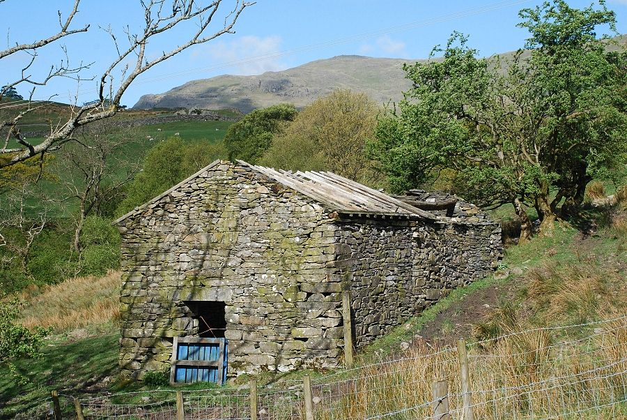 |
| A ruined barn passed on the walk along the lane |
 |
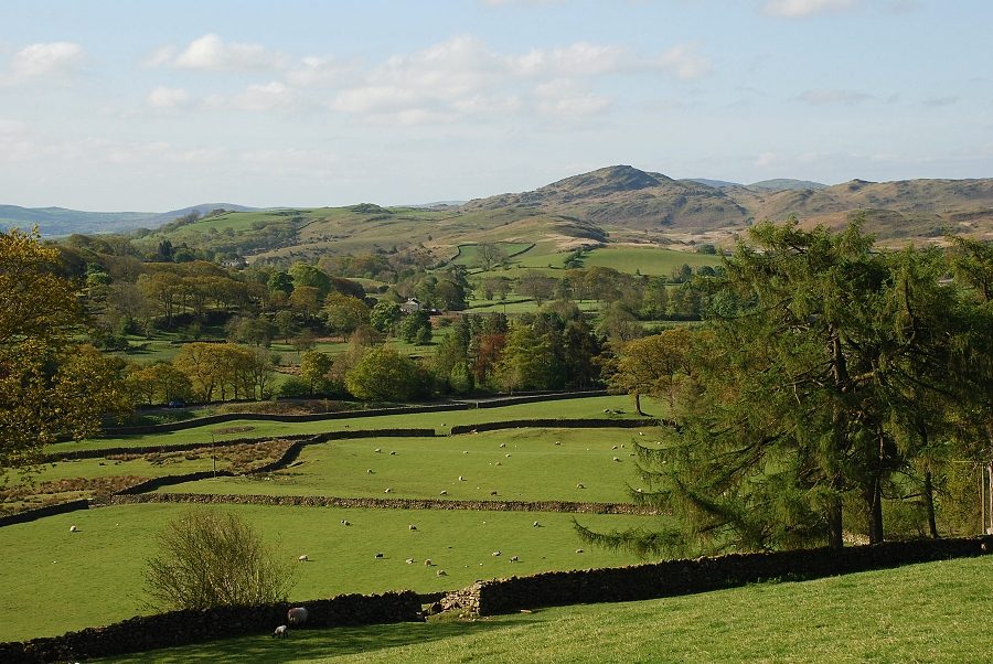
| Dow Crag begins to dominate the view ahead |
 |
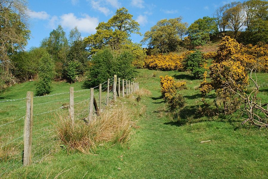
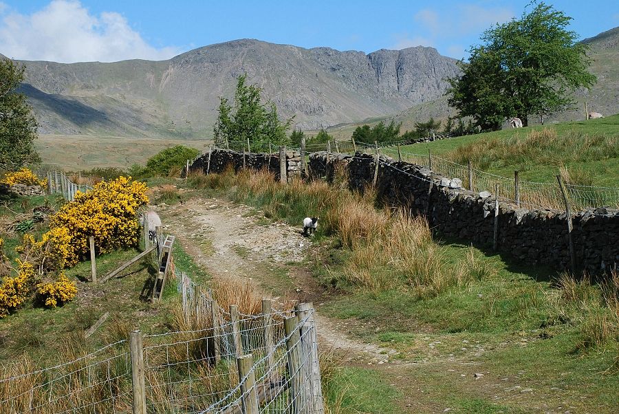
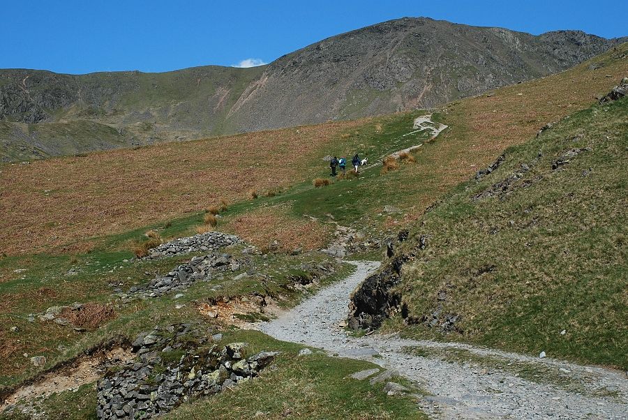
| The lane is less than half a mile long and ends at a gate leading to the Little Arrow Intake |
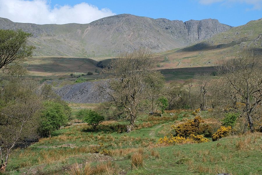 |
| Crossing the intake and descending to another gate which gives access to the open fellside. The spoil heaps of Banishead Quarry come into view where this path joins with the usual route from Torver |
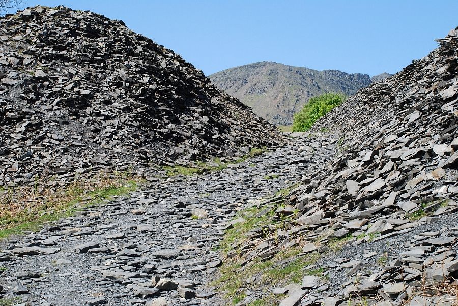 |
| Passing through Banishead Quarry with Buck Pike ahead |
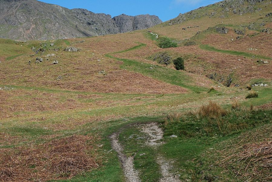 |
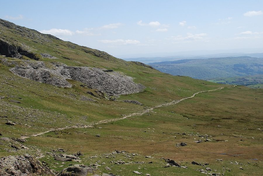
| Above the quarry there is a choice of paths leading up to the Walna Scar Road, the one on the right is the most direct |
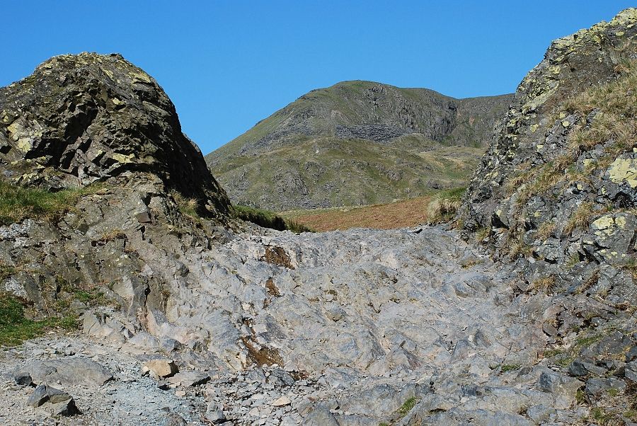 |
| The path joins the Walna Scar Road at a rock gateway |
 |
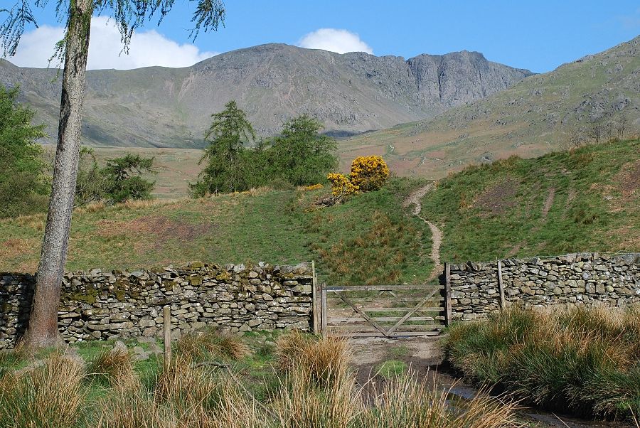
| Just beyond the rock gate a large cairn indicates the start of the path leading up to The Cove |
 |
| Dow Crag from the path along The Cove |
 |
| Looking across The Cove to Brown Pike |
 |
| Looking back to the path crossing The Cove |
 |
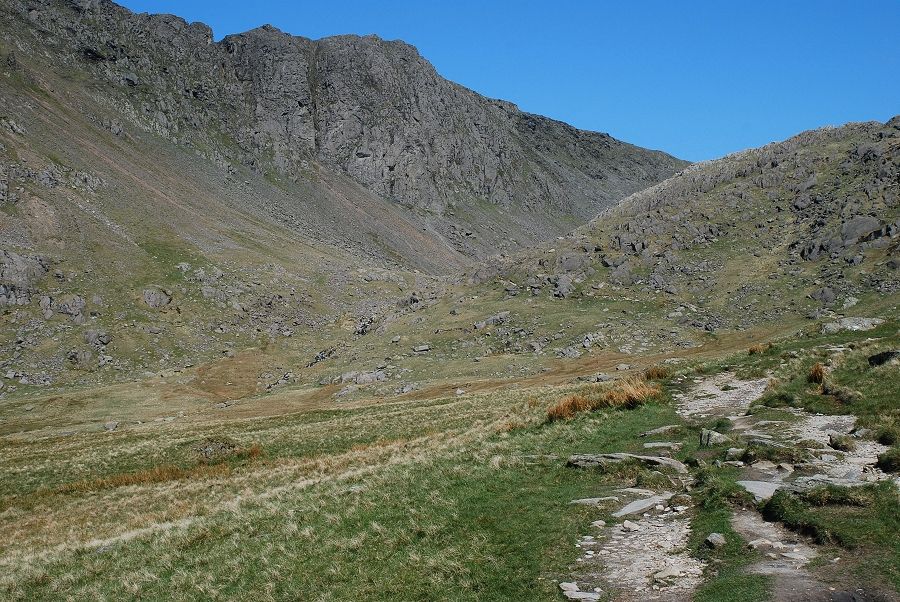
| Dow Crag towering above Goat's Water. The wind which up to this point had been quite light was beginning to increase significantly |
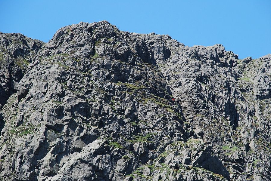 |
| Zooming in on 'B' buttress, the large one in the centre of the previous photo. I had been watching the progress of two parties of very able scramblers. One had just completed a difficult route up the clean rocks on the left. The other party were on the right below a steep wall overlooking Intermediate Gully. I didn't envy them as I could hear the wind gusting across the crag. The easiest line follows a zigzag route up the centre of the buttress |
 |
| The next objective, the depression of Goat's Hause between Dow Crag and Coniston Old Man, later OS maps have changed its spelling to Hawes |
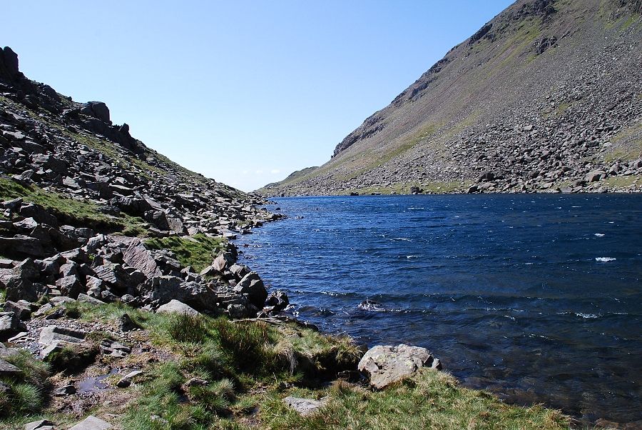 |
| Looking back along Goat's Water from the path along its shore |
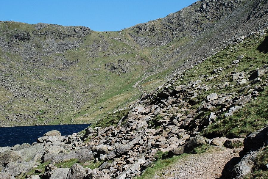 |
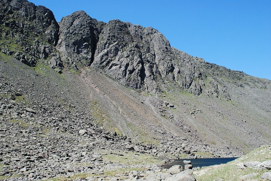
| From the same point looking ahead to the 450ft climb to Goat's Hause, the path up to it has been stone pitched in recent years to reduce erosion |
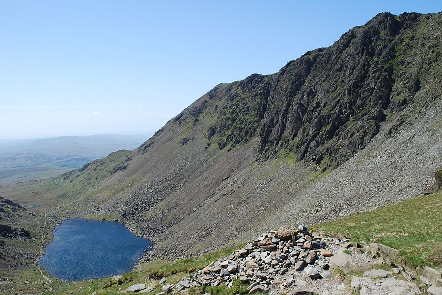 |
| Looking back to Goat's Water from the top of the hause, the wind was very strong here and gusting to storm force |
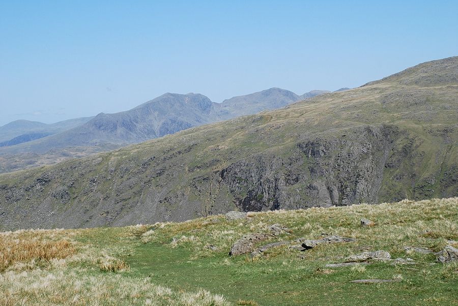 |
| From Goat's Hause looking across the slopes of Grey Friar to the Scafells |
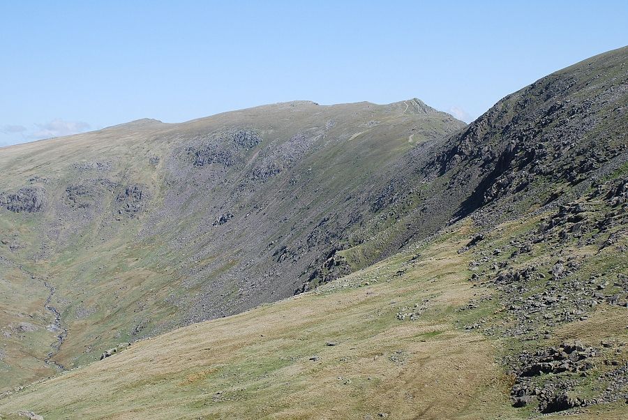 |
| And again from the hause, along the steep western flank of Brim Fell to Great How, Swirl How and Great Carrs |
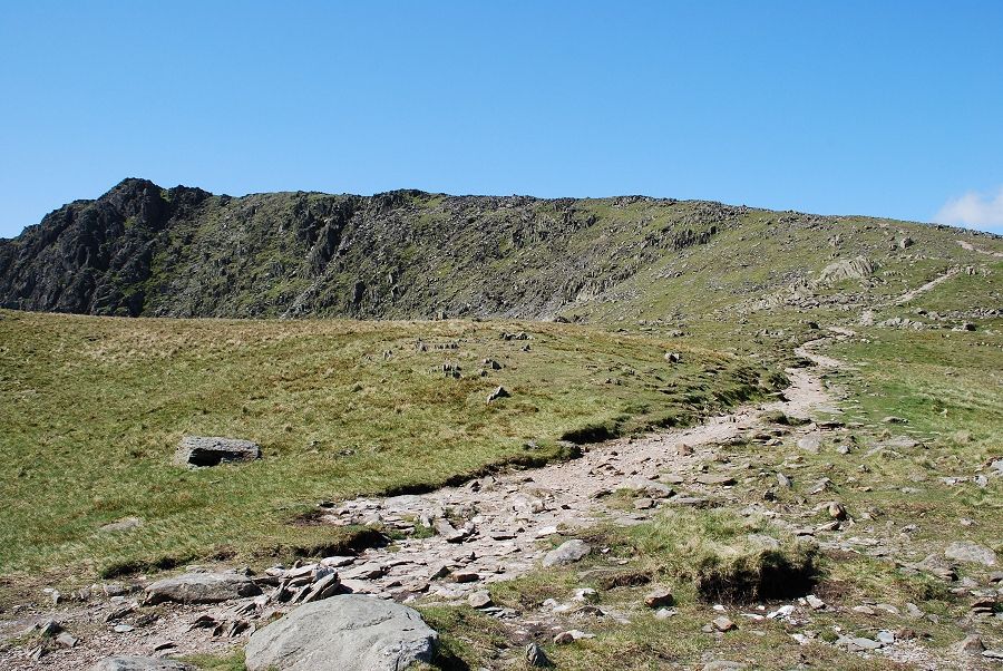 |
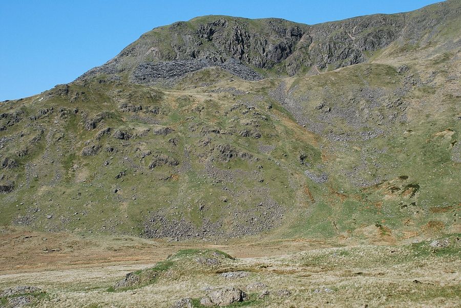
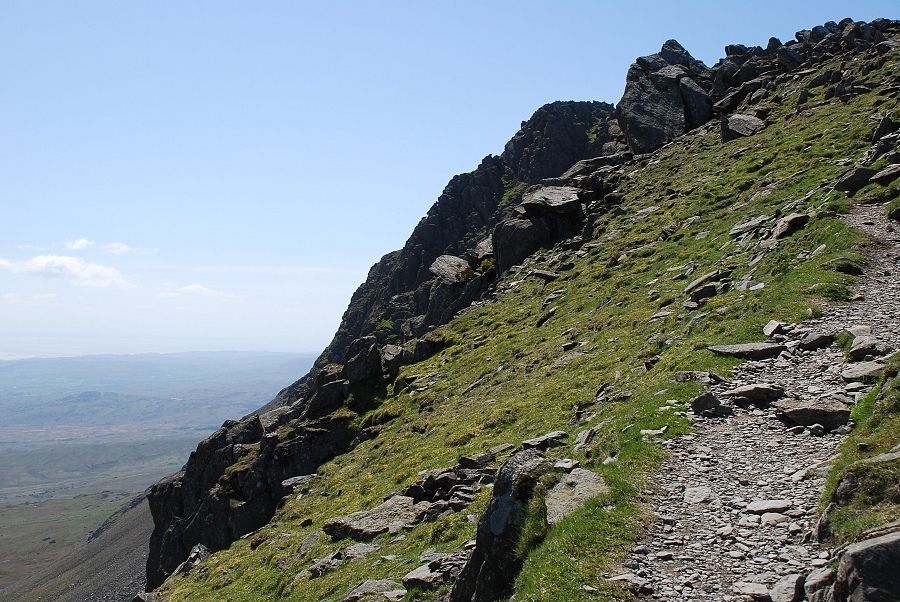
| The ridge leading up to the summit of Dow Crag from Goat's Hause. The wind was growing even stronger by the minute making walking very difficult |
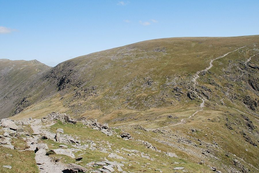 |
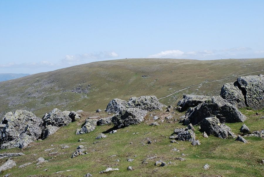
| Looking down to Goat's Hause from the ridge, the wide path leading to the summit of Coniston Old Man from the hause being very prominent |
 |
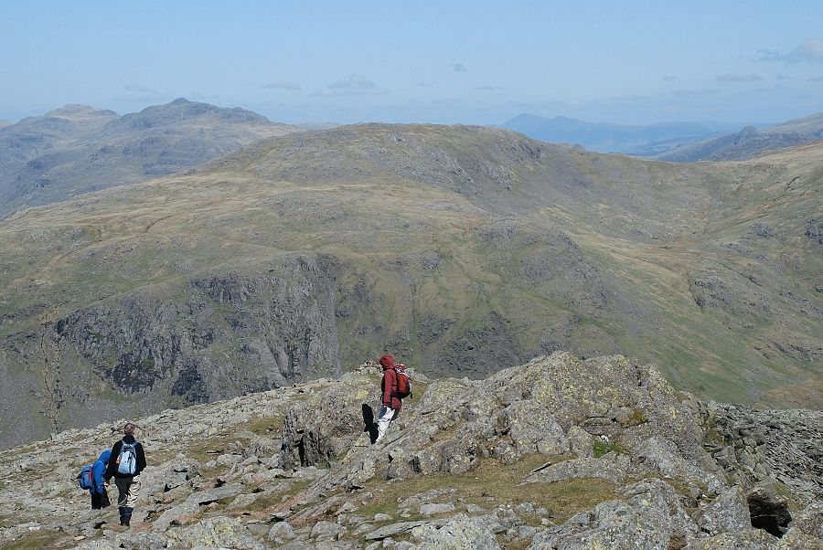
| On the path to the summit near 'F' buttress |
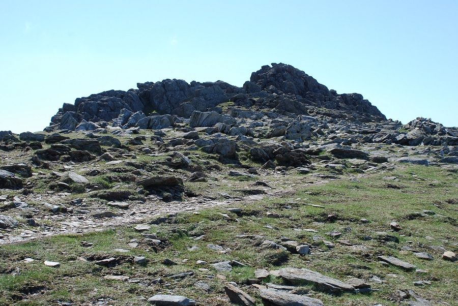 |
| Approaching the summit of Dow Crag |
 |
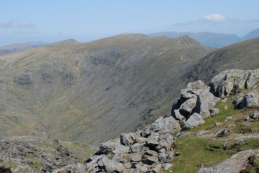
| The photographs from the summit were taken from various points below the topmost rocks because of the high wind. This shows the summit of Brim Fell and its connecting ridge to Coniston Old Man |
 |
| Great Carrs, Swirl How and Great How with the Helvellyn range on the right horizon |
 |
| Looking north across to Grey Friar, to its left Bowfell and Esk Pike with a distant Skiddaw on the right |
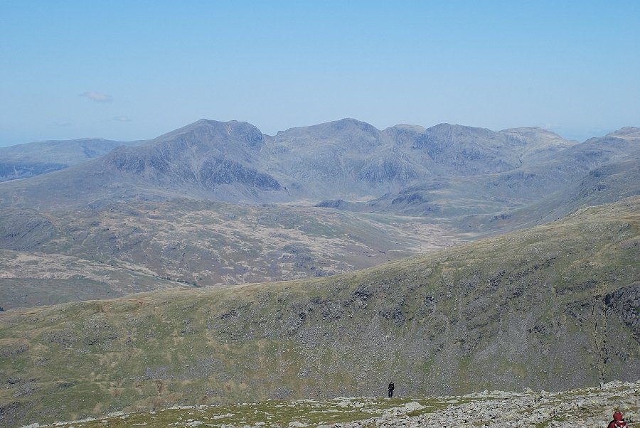 |
| Further to the west the full length of the Scafell range |
 |
| Harter Fell across the Duddon Valley |
 |
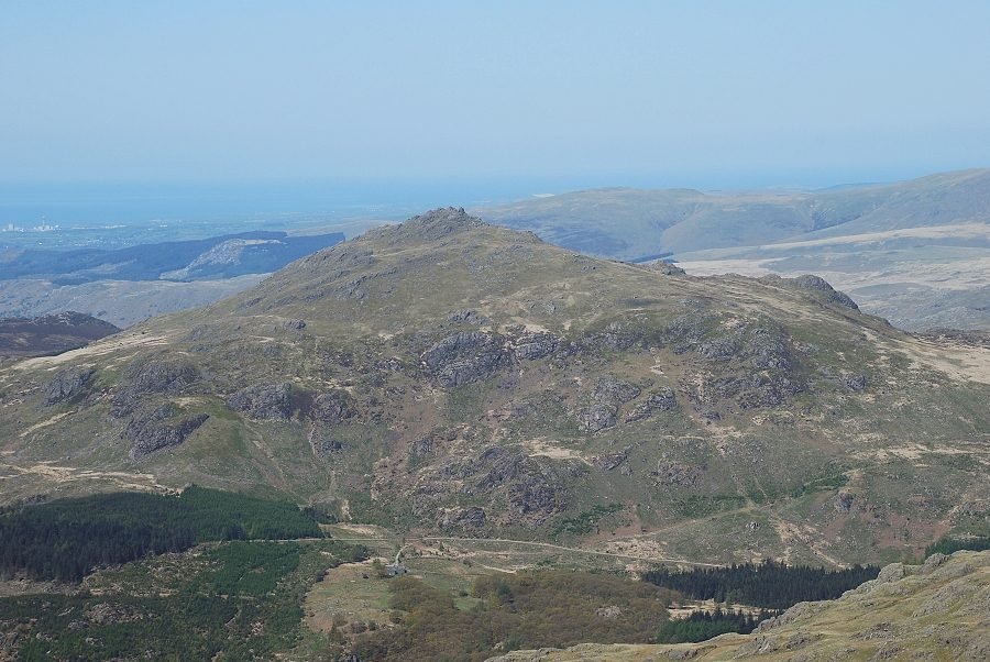
| Green Crag and Crook Crag and the coastal strip with Sellafield on the right |
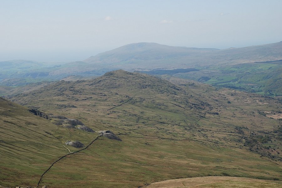 |
| Looking over the Duddon side of the Walna Scar Road to Caw with Black Combe on the horizon |
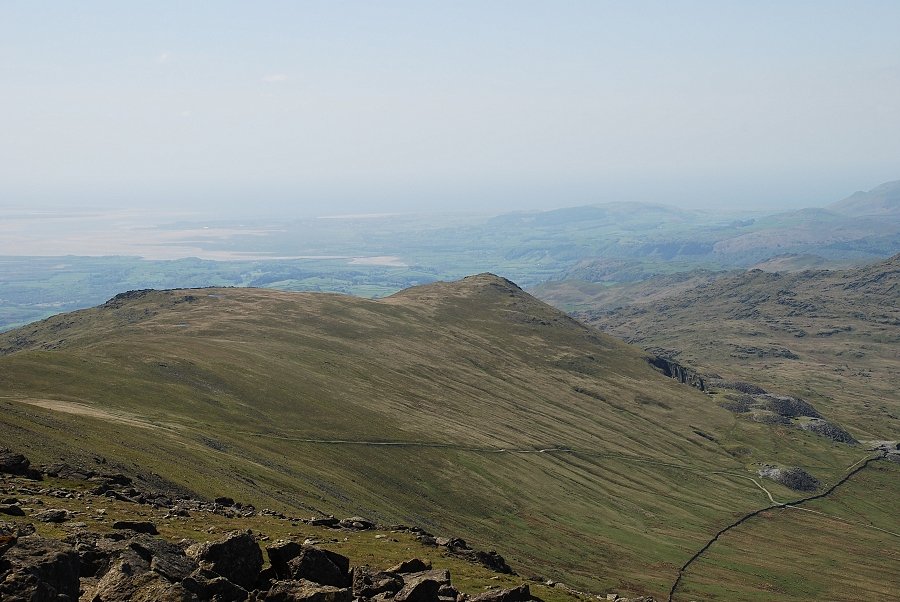 |
| The Duddon Estuary beyond White Maiden and White Pike |
|