
| Dow Crag - Route Four |
| Start - Duddon Valley SD 238 968 | Distance - 3.75 miles | Ascent - 2,350 feet | Time - 2 hours : 35 minutes |
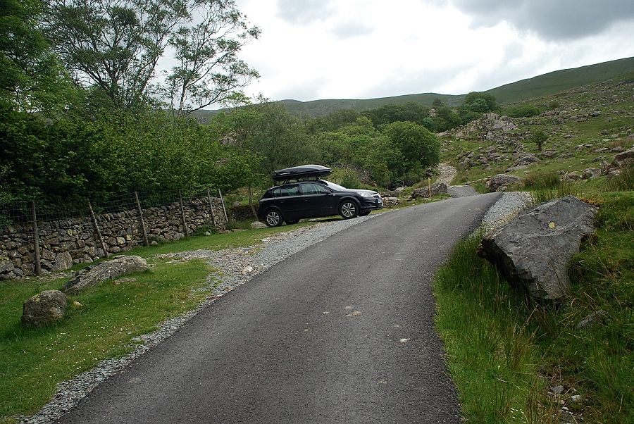 |
| The walk starts at the end of the public road above Seathwaite in the Duddon Valley. To reach this point, drive half a mile north along the valley from Seathwaite and just before reaching the bridge over Tarn Beck turn onto a single track road which leads to two gates below the Seathwaite Tarn access track. There is room to park several cars on the wide verge beyond the first gate |
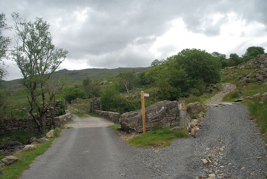 |
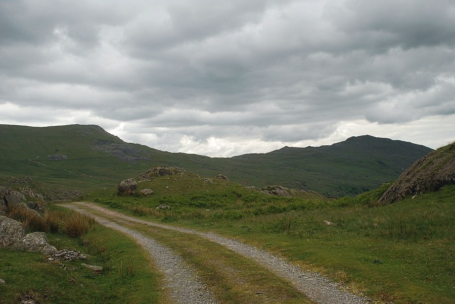
| The start of the Seathwaite Tarn access track. The rough track on the right is the start of the Walna Scar Road |
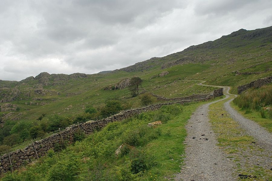 |
| The Seathwaite Tarn access track climbs along the lower slopes of Seathwaite Fell and, as height is gained, gives open views over the Duddon Valley |
 |
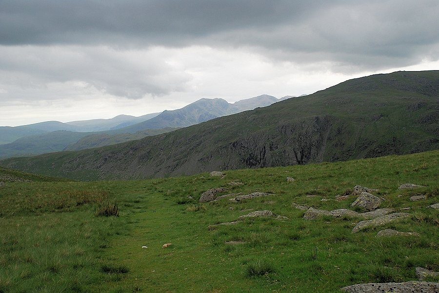
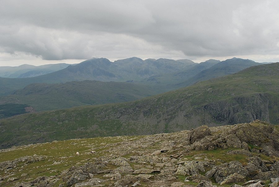
| The Scafells appear over Hard Knott |
 |
| Looking over to Harter Fell on the other side of the Duddon Valley from the Seathwaite Tarn access road |
 |
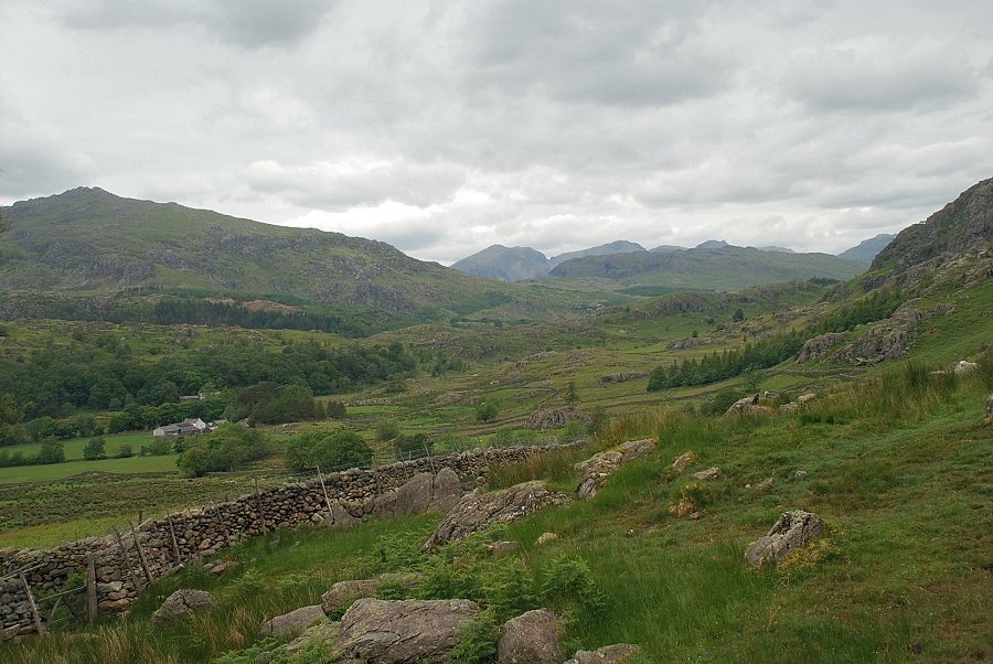
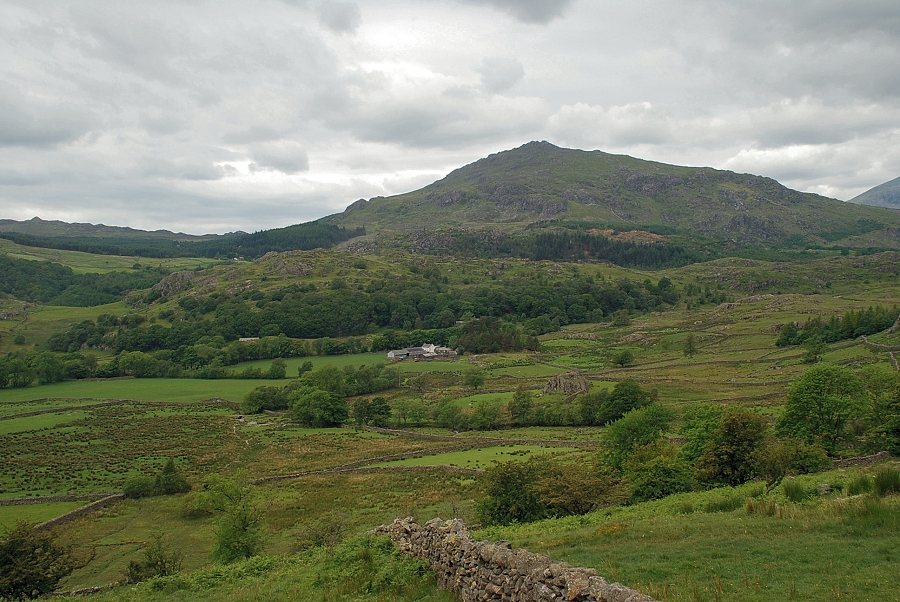
| Looking back to the lower Duddon Valley from the access track. Caw is on the left with Buck Barrow and Whit Fell on the right |
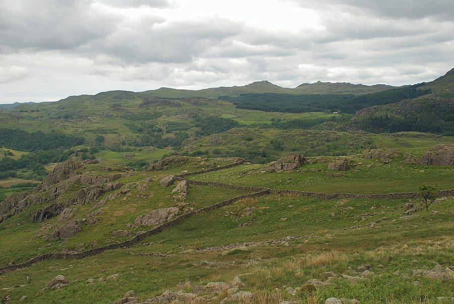 |
| Looking over towards Green Crag and Crook Crag |
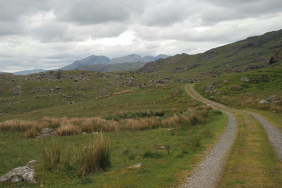 |
| After climbing steadily for almost a mile the access road levels off and the view opens up towards the Scafells |
 |
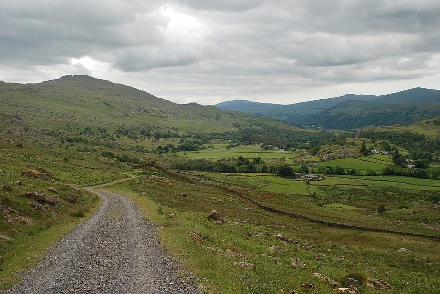
| Looking back from the highest point of the access track, White Pike on the left with Caw on the right |
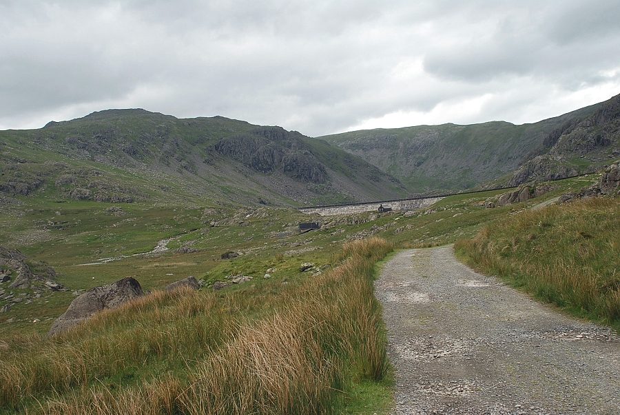 |
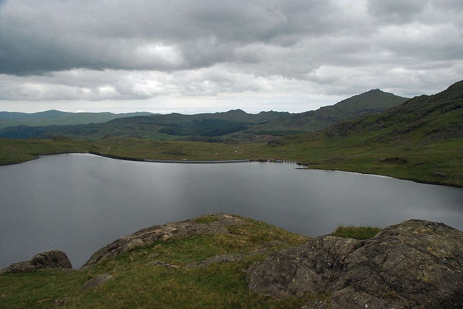
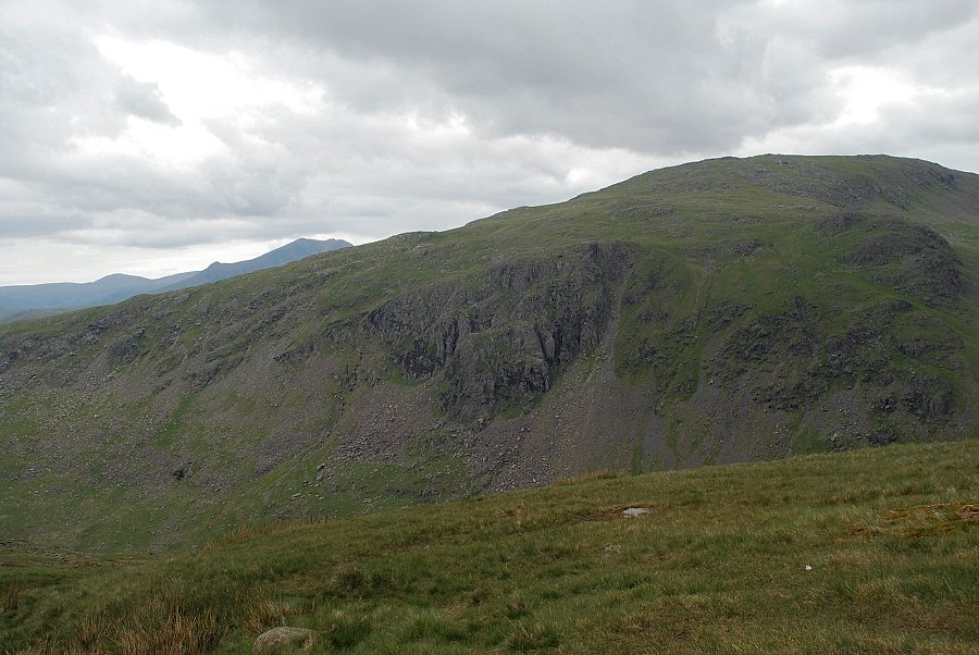
| Approaching the Seathwaite Tarn dam. Grey Friar is on the left with Swirl How straight ahead, above the combe of Tarn Head Beck |
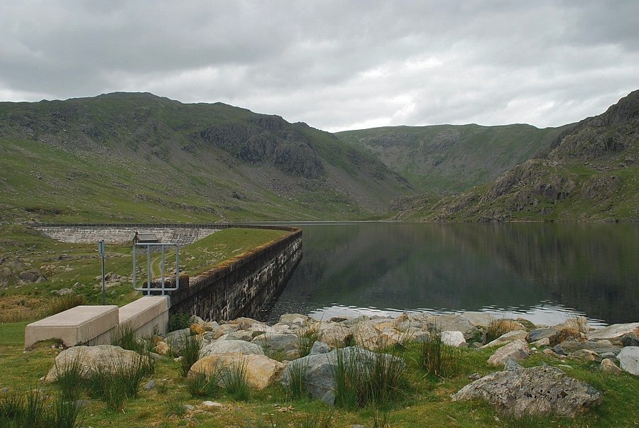 |
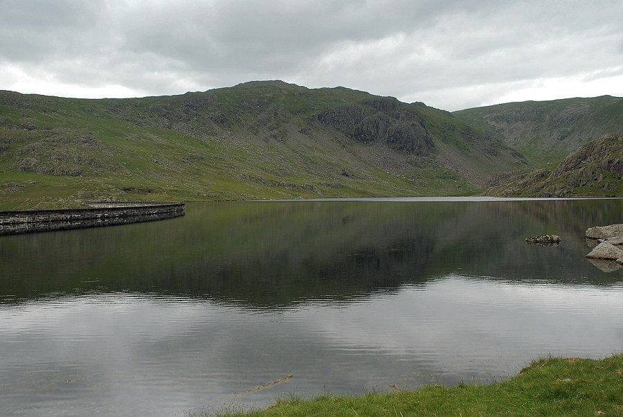
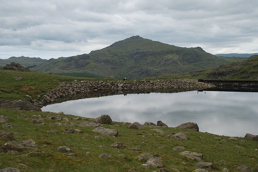
| Seathwaite Tarn dam was built over a hundred years ago, greatly increasing the size of the tarn to create a reservoir which supplies water to Barrow-in-Furness. The dam is over 1200 ft. long and there is a flagged walkway below the parapet which leads to a bridge over the tarn's outlet |
 |
| Looking back from the dam towards Green Crag and Crook Crag |
 |
| The start of the path along the south side of the tarn which traverses below crags of Near Hill and Far Hill Crag. There is also a path on the north side of the tarn, accessed from the dam walkway, which leads to an old copper mine in the upper combe |
 |
| Grey Friar across Seathwaite Tarn |
 |
| Looking back to Harter Fell from the start of the path on the south side of the tarn |
 |
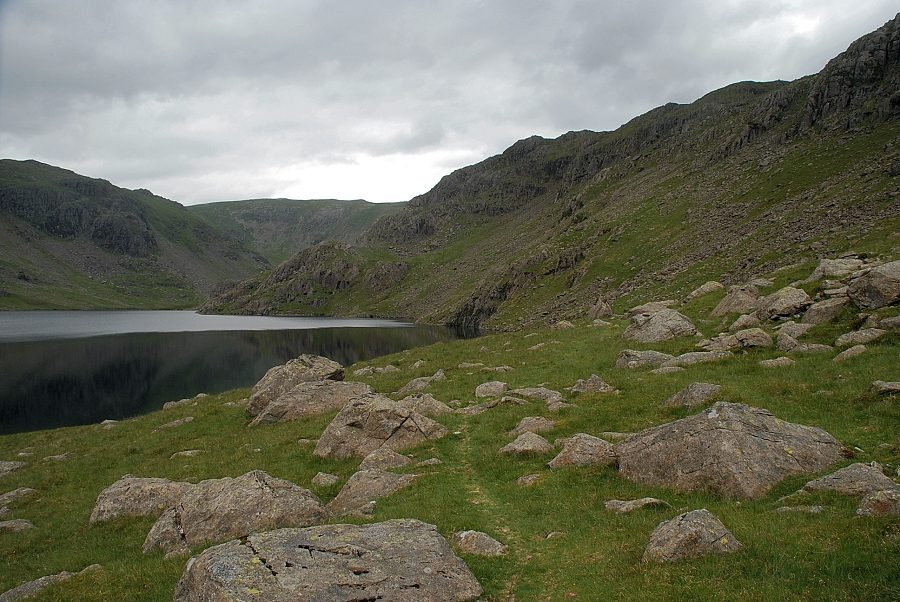
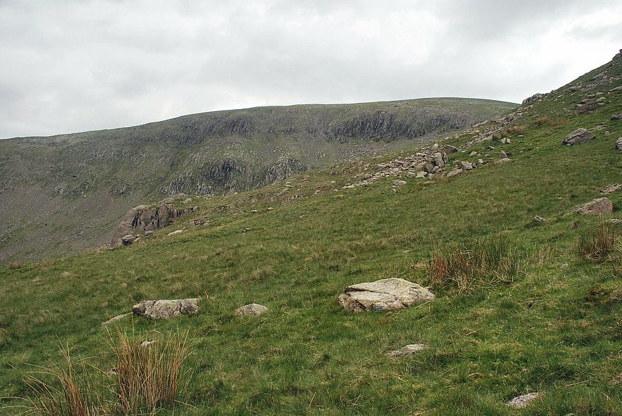
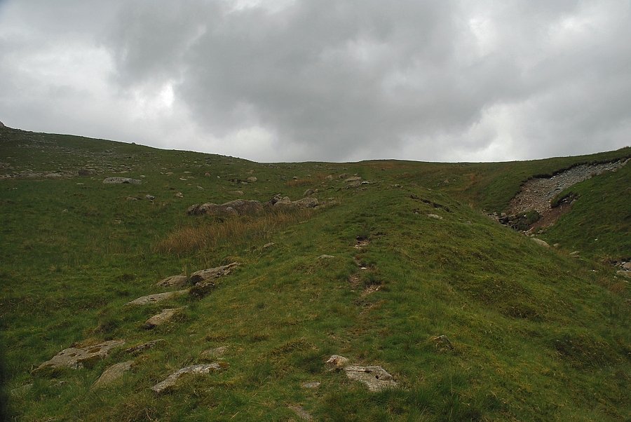
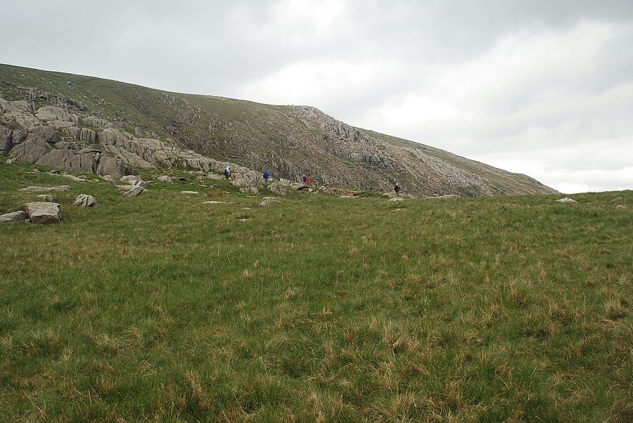
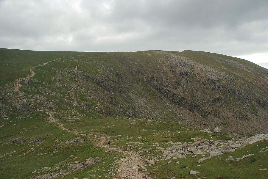
| The path is quite faint in places and difficult to trace, the first objective is to reach the rocky top of Shudderstone How. The path can be seen climbing up to the col behind it in the centre of the photo |
 |
| Seathwaite Tarn from the top of Shudderstone How |
 |
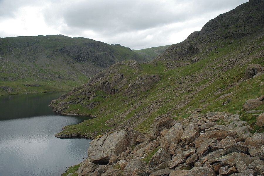
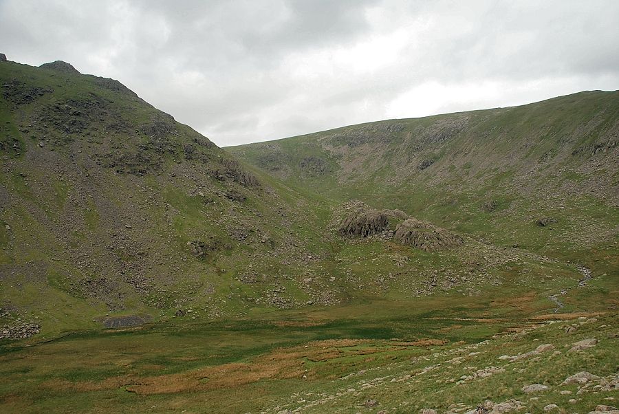
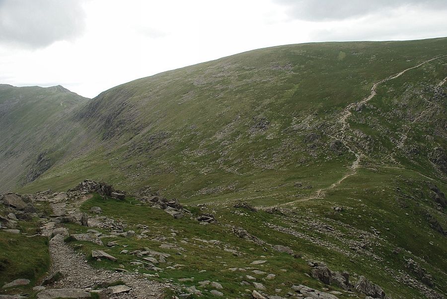
| The upper combe from Shudderstone How. The path descends slightly as it passes between Raven Nest How and Far Hill Crag |
 |
| Near Hill Crag from the top of Shudderstone How |
 |
| Looking back to Shudderstone How |
 |
| Brim Fell comes into view as the path approaches Near Gill |
 |
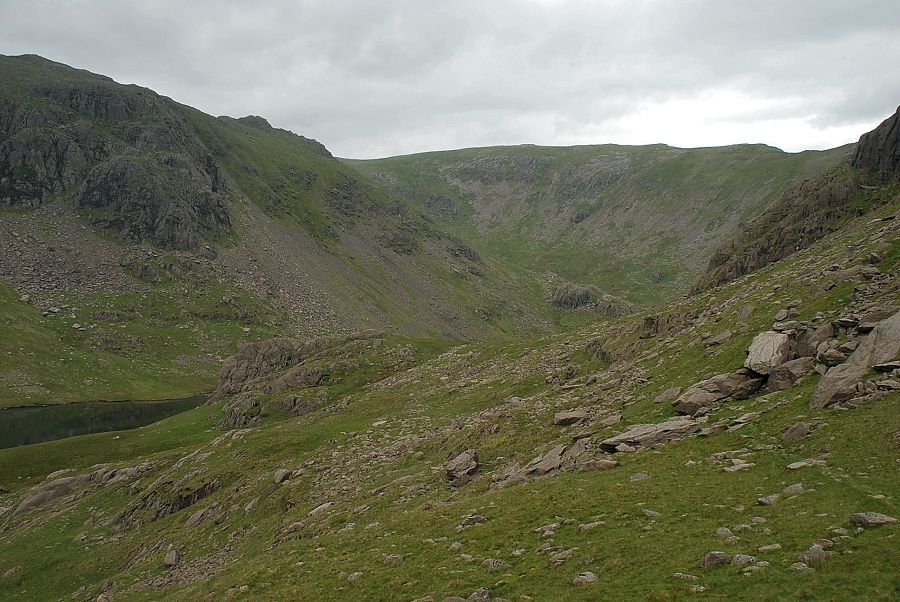
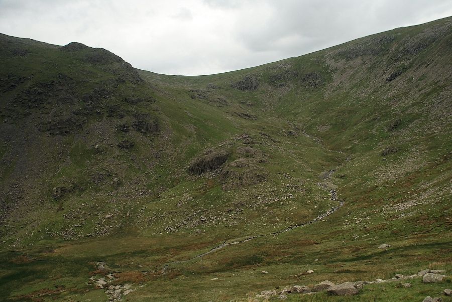
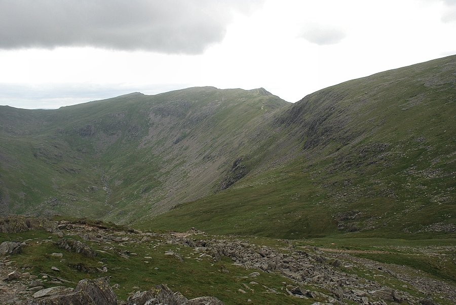
| The upper combe of Tarn Head Beck. The beck continues on for another mile or so sweeping round Brock How, in the centre of the photo, and up to the hanging valley of Calf Cove |
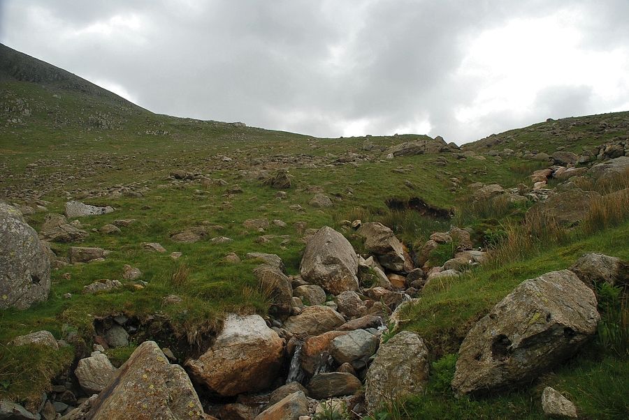 |
| Crossing Far Gill, the climb up to Goat's Hawse follows a faint path on its left bank |
 |
| Harter Fell over the slopes of Grey Friar from the start of the path alongside Far Gill |
 |
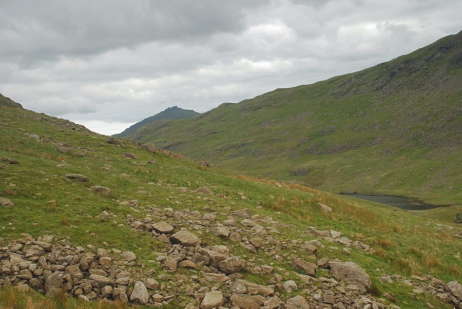
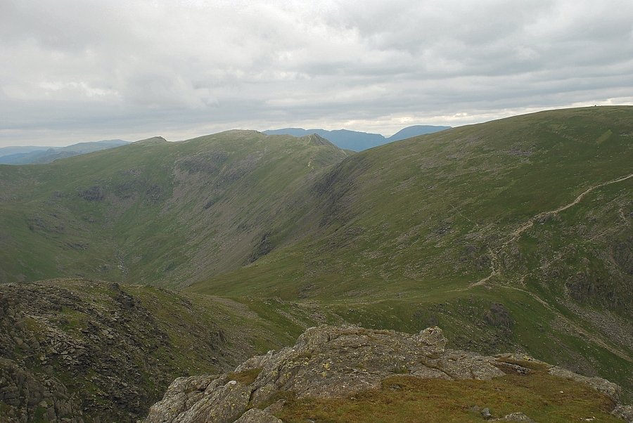
| Looking back to Calf Cove and the upper part of Tarn Head Beck |
 |
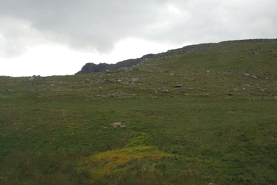
| The path becomes clearer as height is gained |
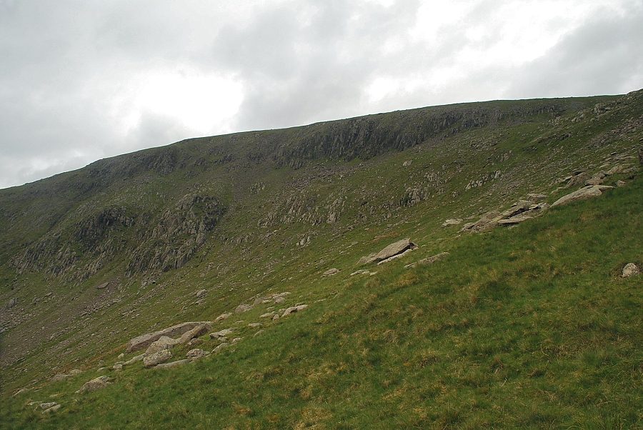 |
| Looking over to Wray Crags and Black Crag on the western slopes of Brim Fell |
 |
| Looking back to Grey Friar |
 |
| Scafell appears over the slopes of Grey Friar as the path reaches to top of Far Gill |
 |
| Approaching Goat's Hawse |
 |
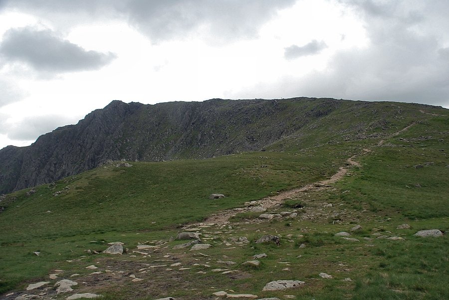
| The summit of Dow Crag comes into view |
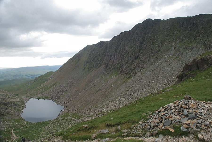 |
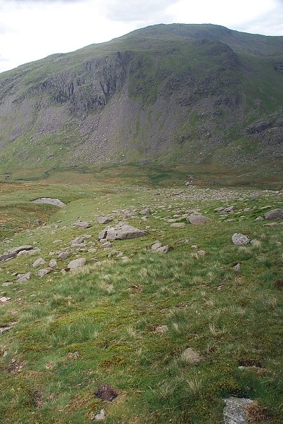
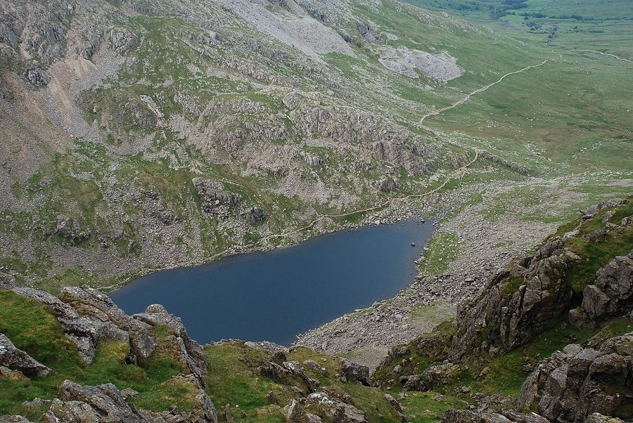
| Goat's Water and Dow Crag from Goat's Hawse |
 |
| The path up to Dow Crag from Goat's Hawse |
 |
| Scafell and Scafell Pike from Goat's Hawse |
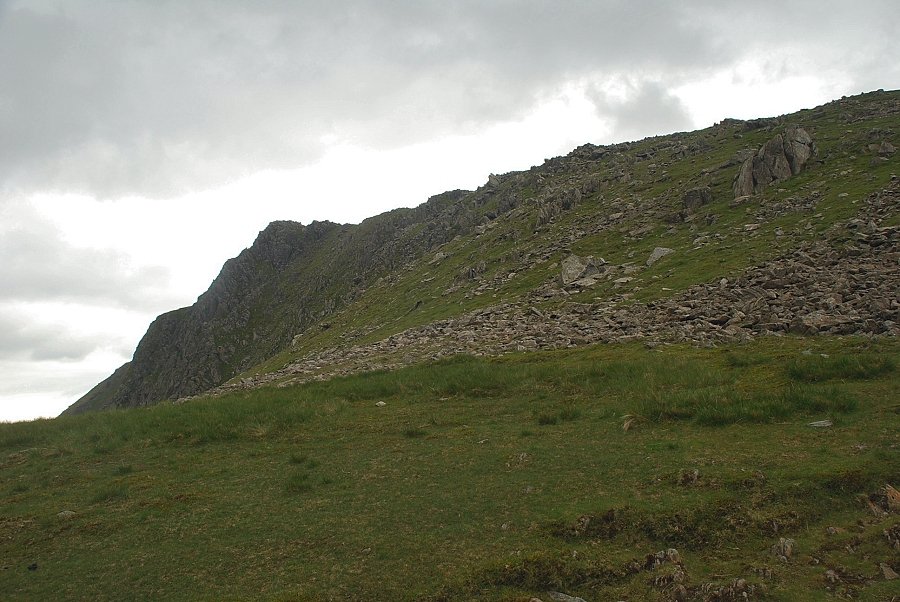 |
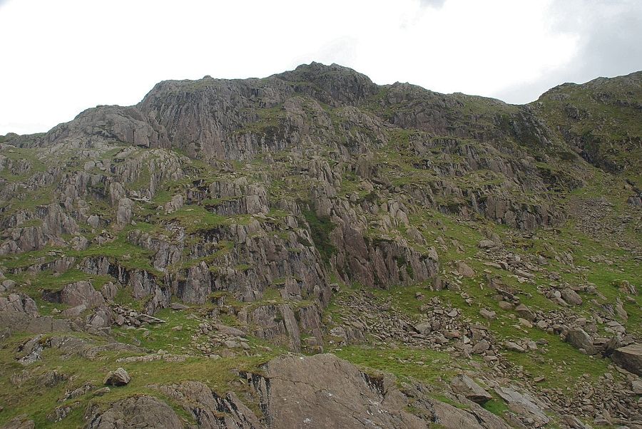
| The profile of 'F' Buttress from the path above Goat's Hawse |
 |
| Looking back to Great Carrs and Swirl How above the combe of Tarn Head Beck |
 |
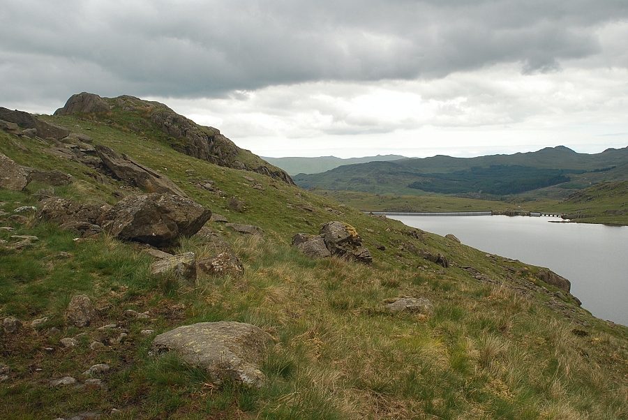
| Looking back to Goat's Hawse and Coniston Old Man |
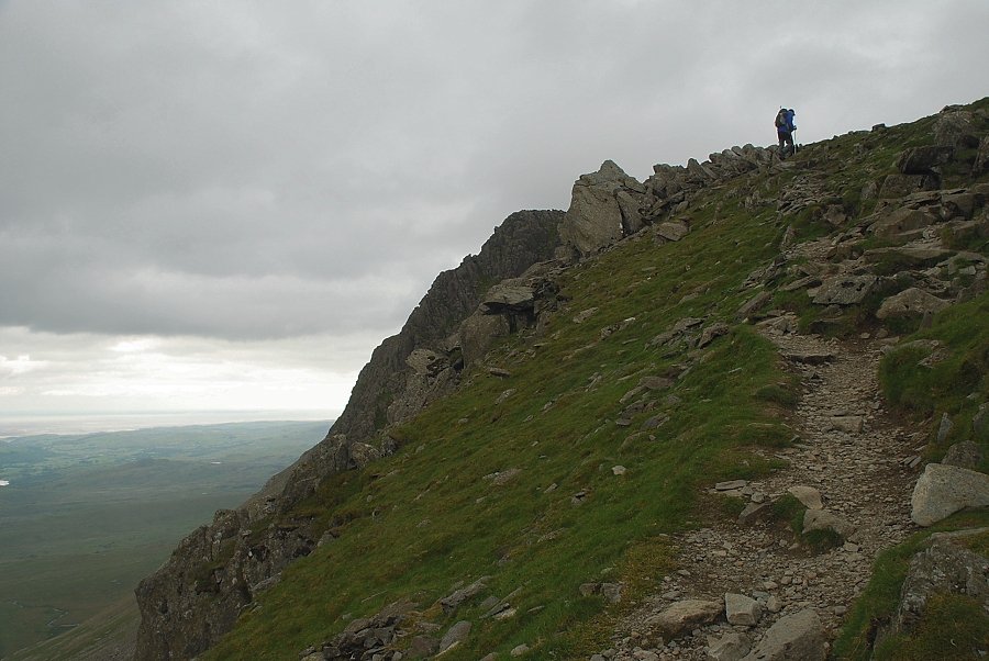 |
| The path follows the escarpment on the final appoach to the summit |
 |
| Looking back to Goat's Hawse and Brim Fell |
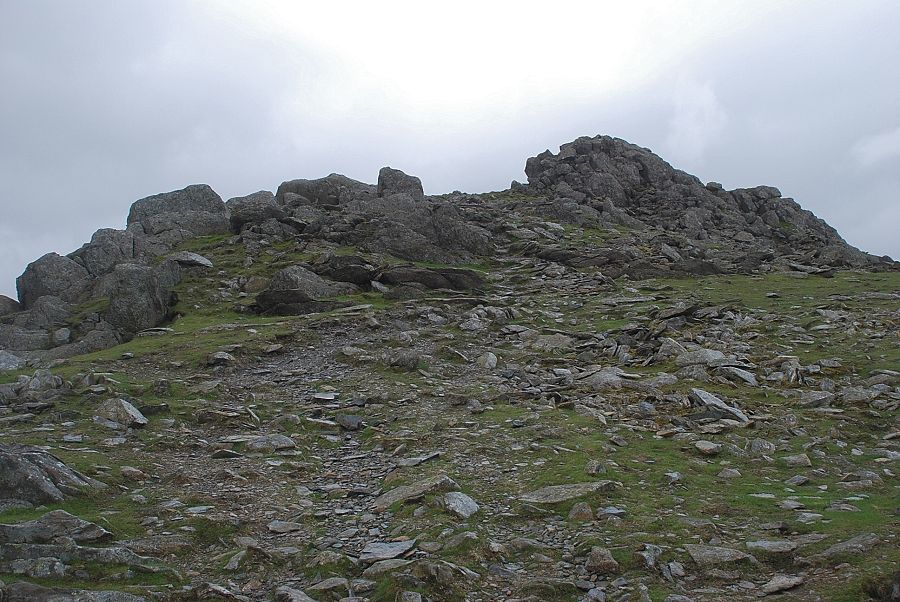 |
| Approaching the summit of Dow Crag |
 |
| Goat's Water from the summit ridge |
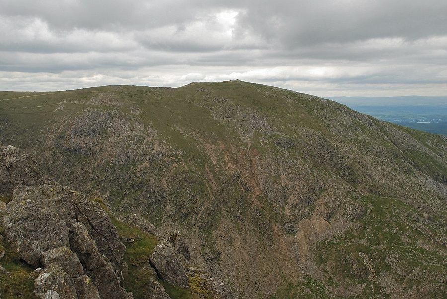 |
| Coniston Old Man from the summit of Dow Crag |
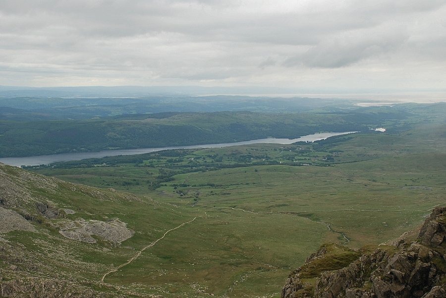 |
| Coniston Water from the summit of Dow Crag |
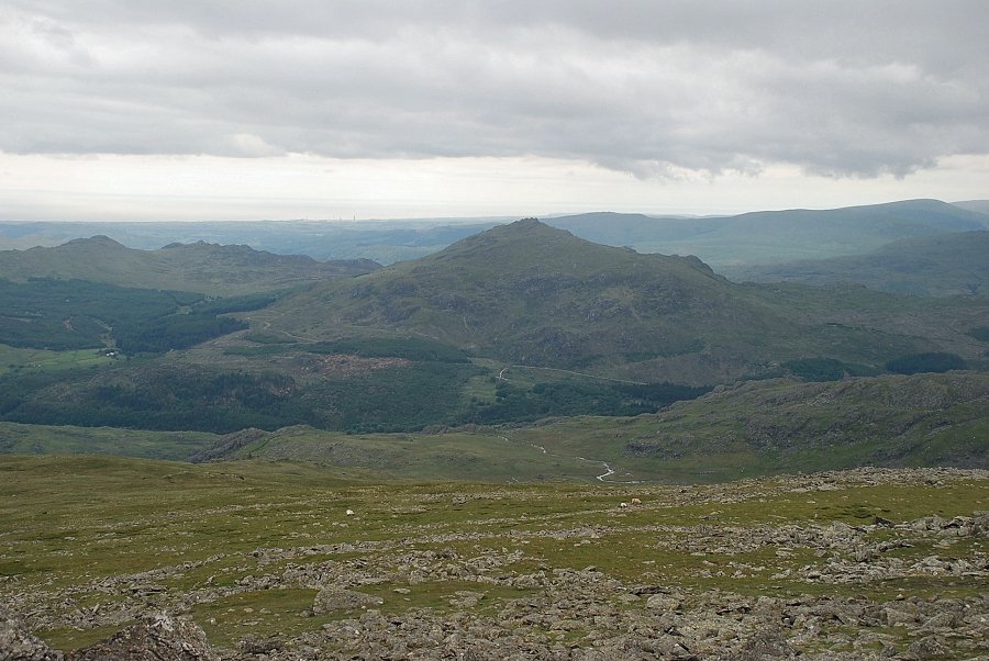 |
| Green Crag and Harter Fell from the summit of Dow Crag |
 |
| The Scafells from the summit of Dow Crag |
 |
| Great Carrs, Swirl How and Brim Fell from the summit of Dow Crag |
|