 |
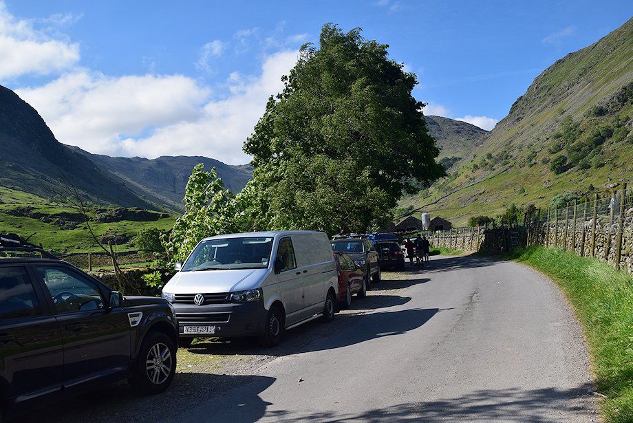
| The approach to Seathwaite Farm. Note that since the date of this walk large boulders have been placed along the verge and it's no longer possible to park on the road close to the farm. Parking is provided in the field to the right. Walk through the farmyard and continue through gates onto the bridleway track towards Stockley Bridge |
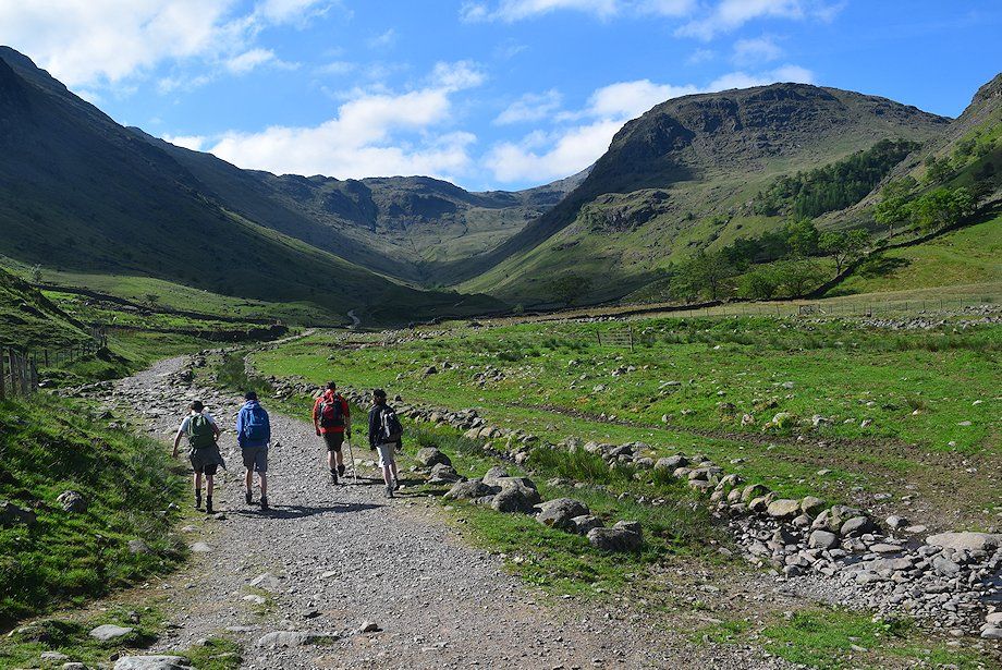 |
| Allen Crags and Seathwaite Fell from the bridleway track to Stockley Bridge |
 |
| Passing Taylorgill Force |
 |
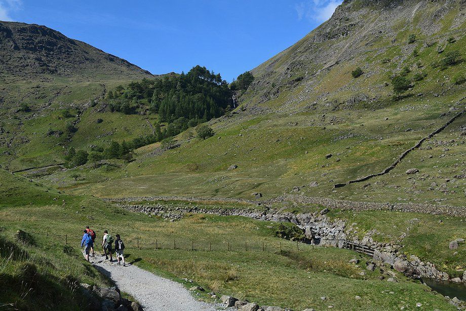
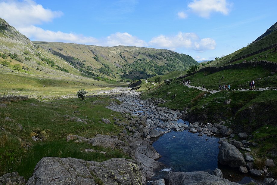
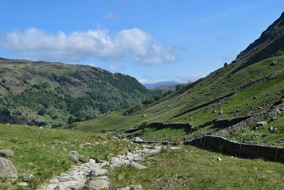
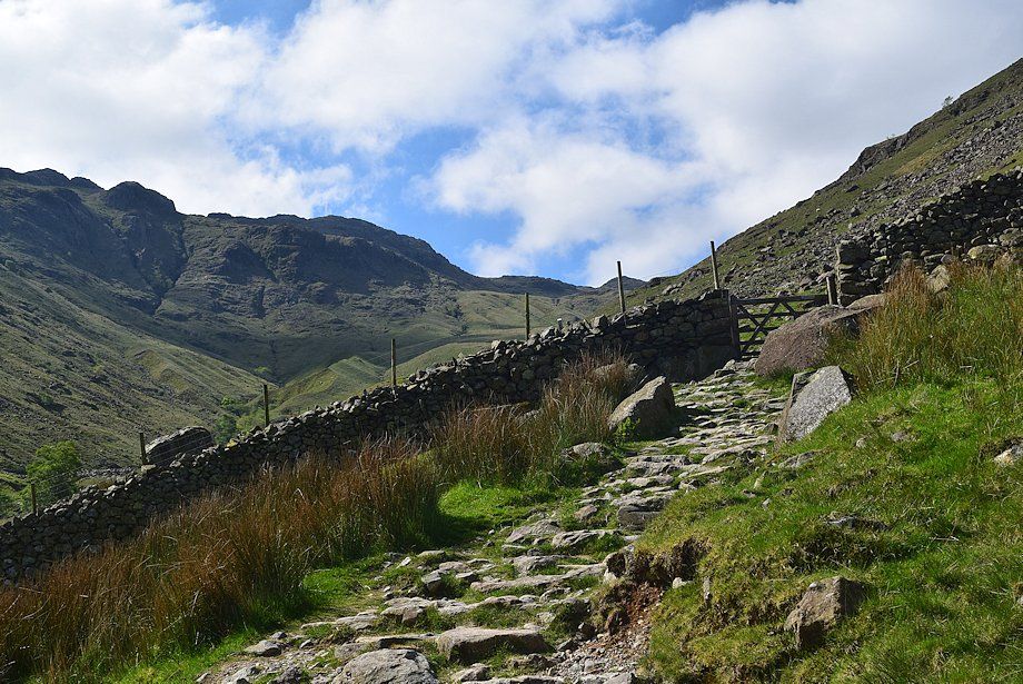
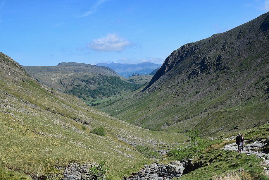
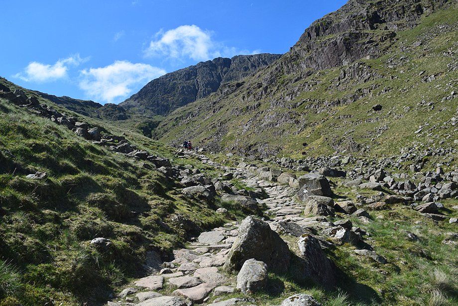
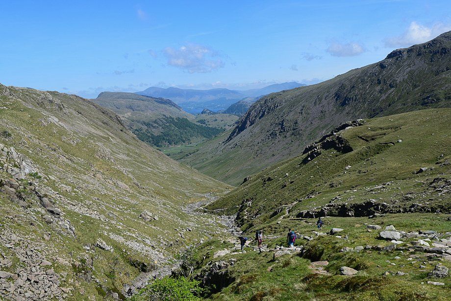
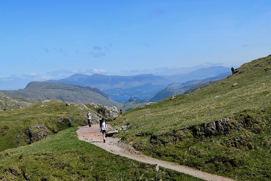
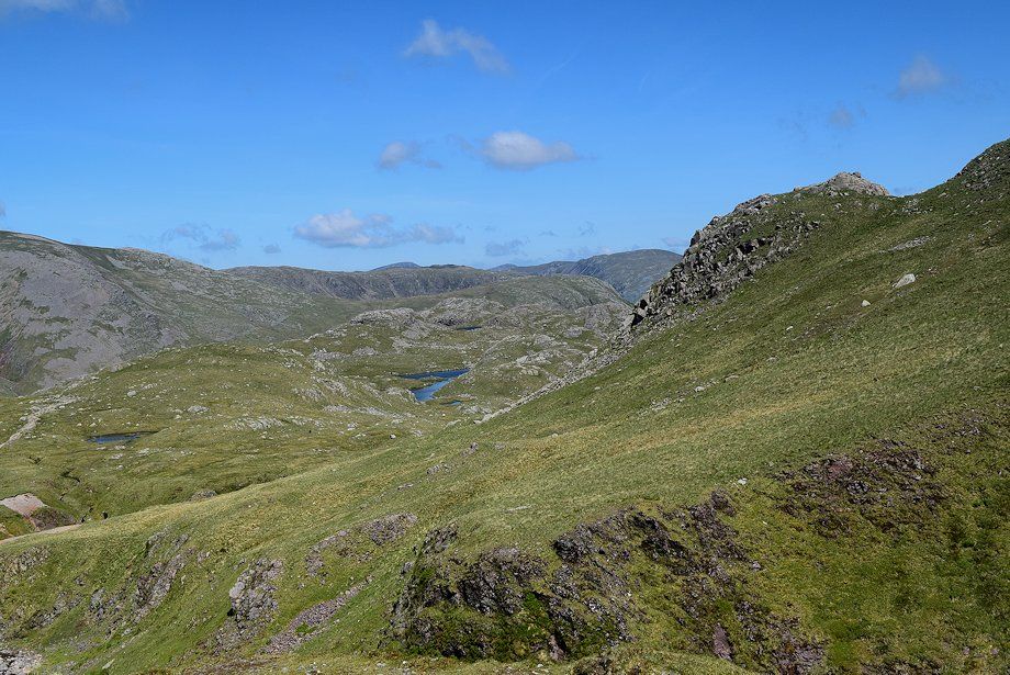
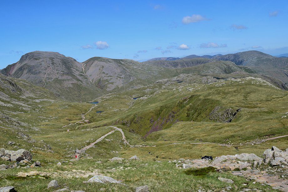
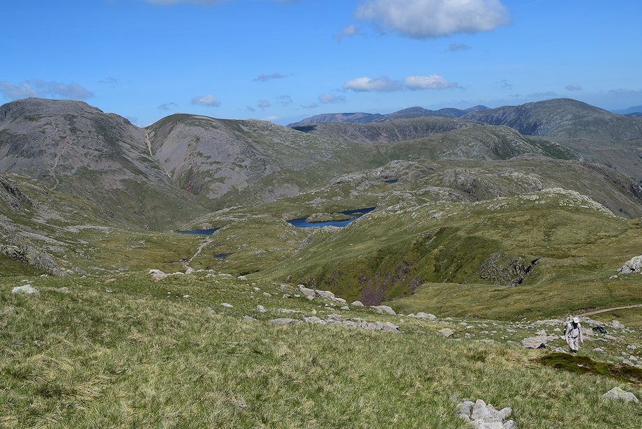
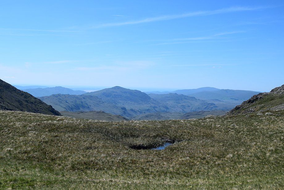
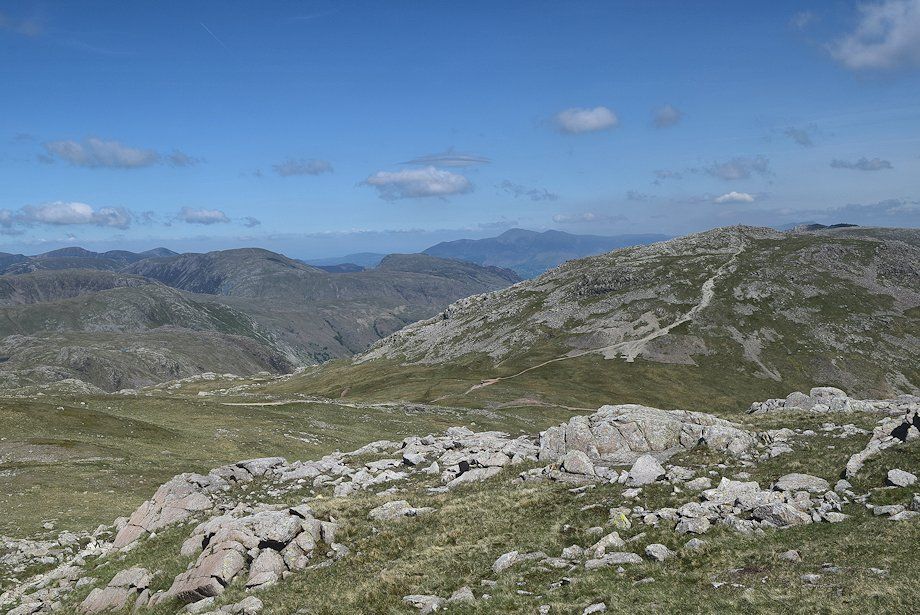
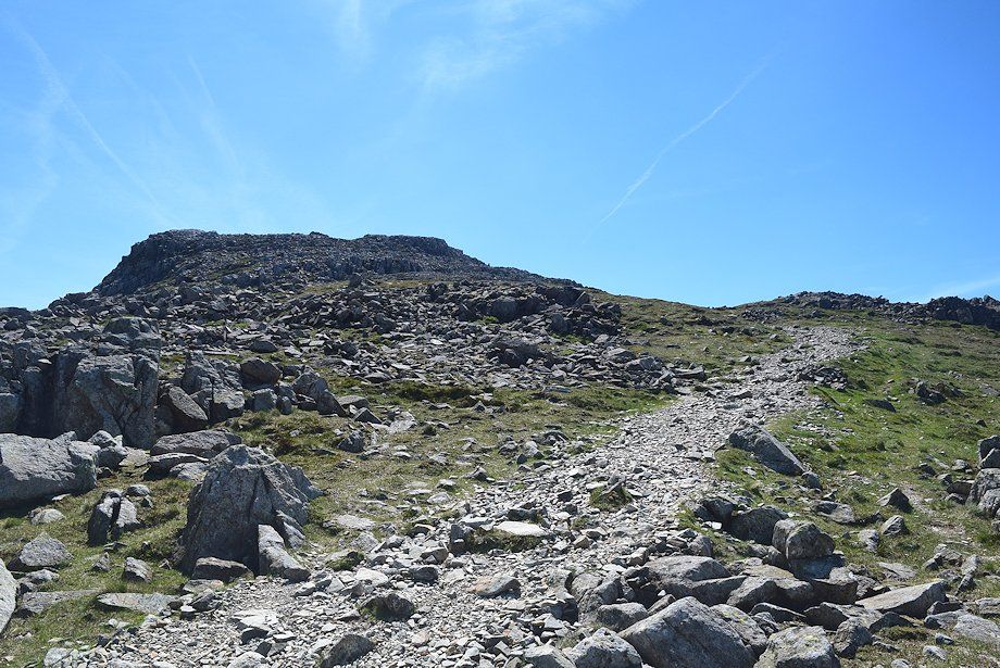
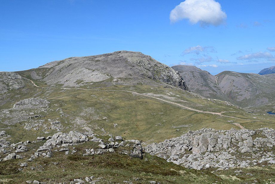
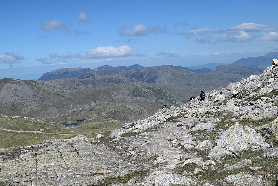
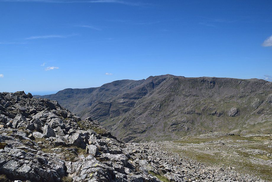
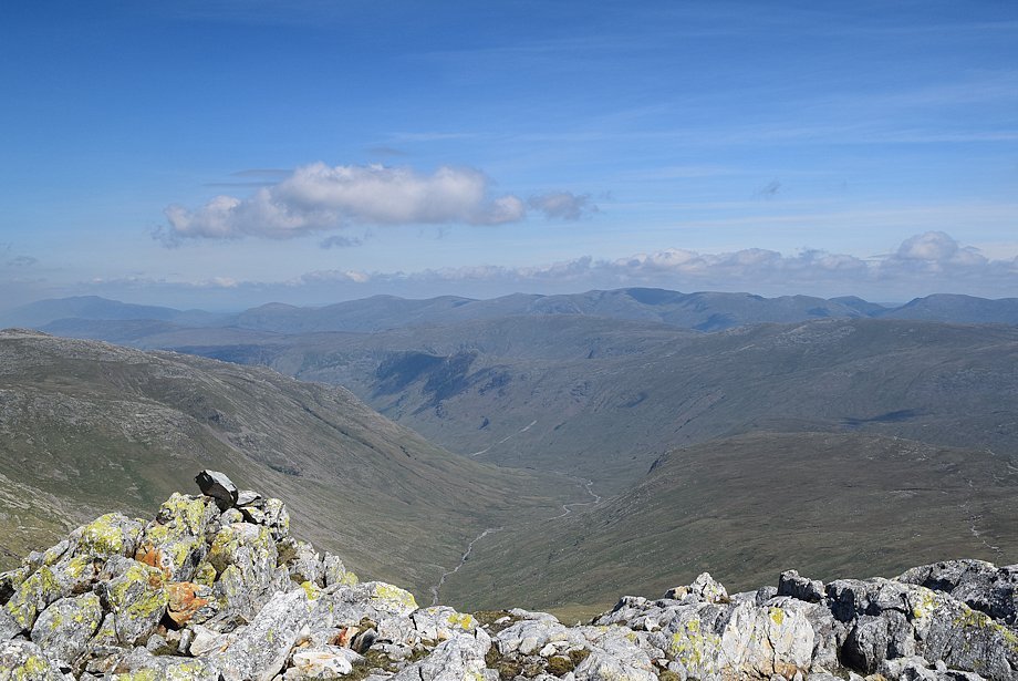
| The Grains Valley from the bridleway |
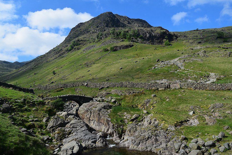 |
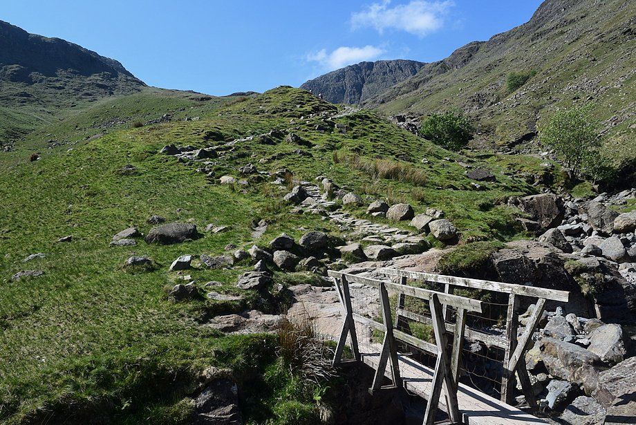
| Approaching Stockley Bridge. Cross the bridge and pass through the gate above it |
 |
| Looking back from Stockley Bridge |
 |
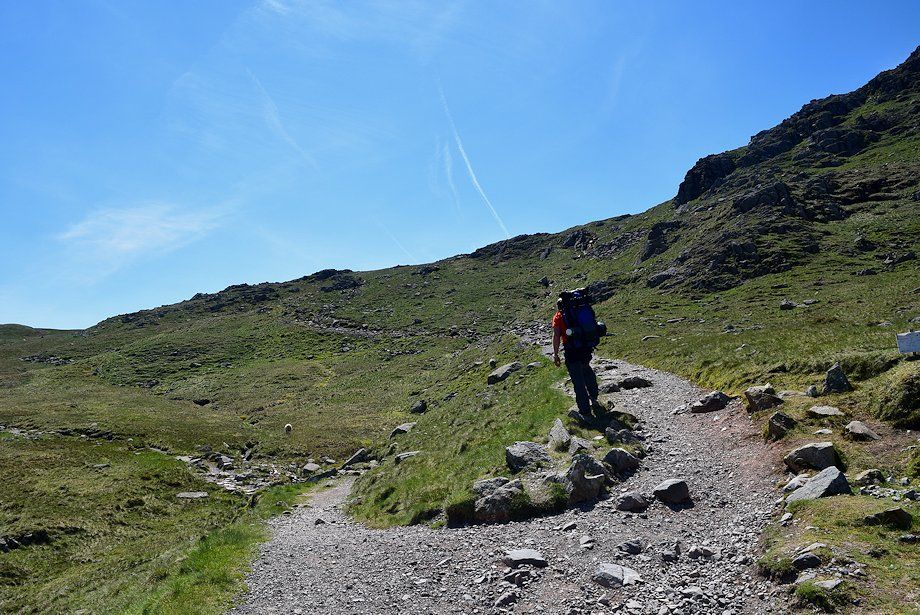
| The bridleway continues on to Wasdale Head via Sty Head |
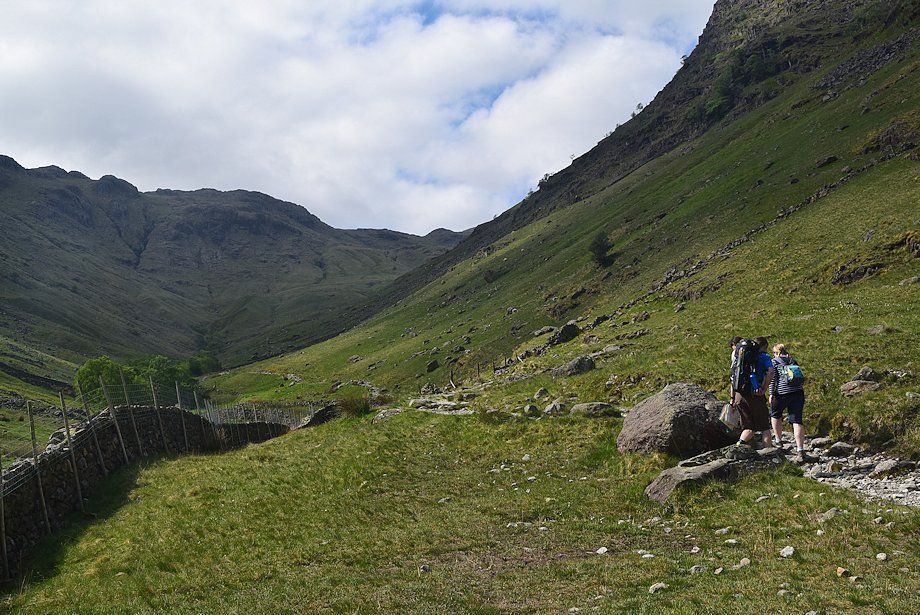 |
| The route turns left from the gate and follows the course of Grains Gill |
 |
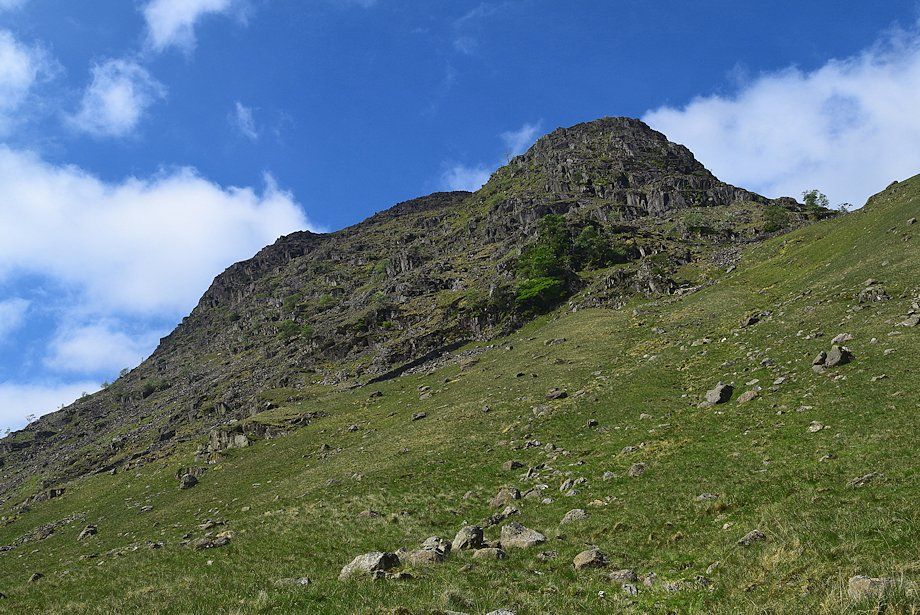
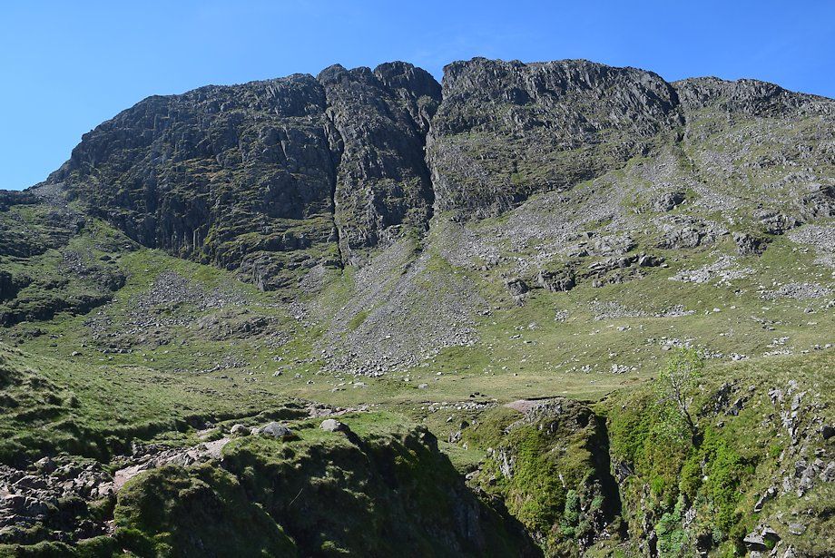
| Passing below Black Waugh and Aaron Crags on Seathwaite Fell |
 |
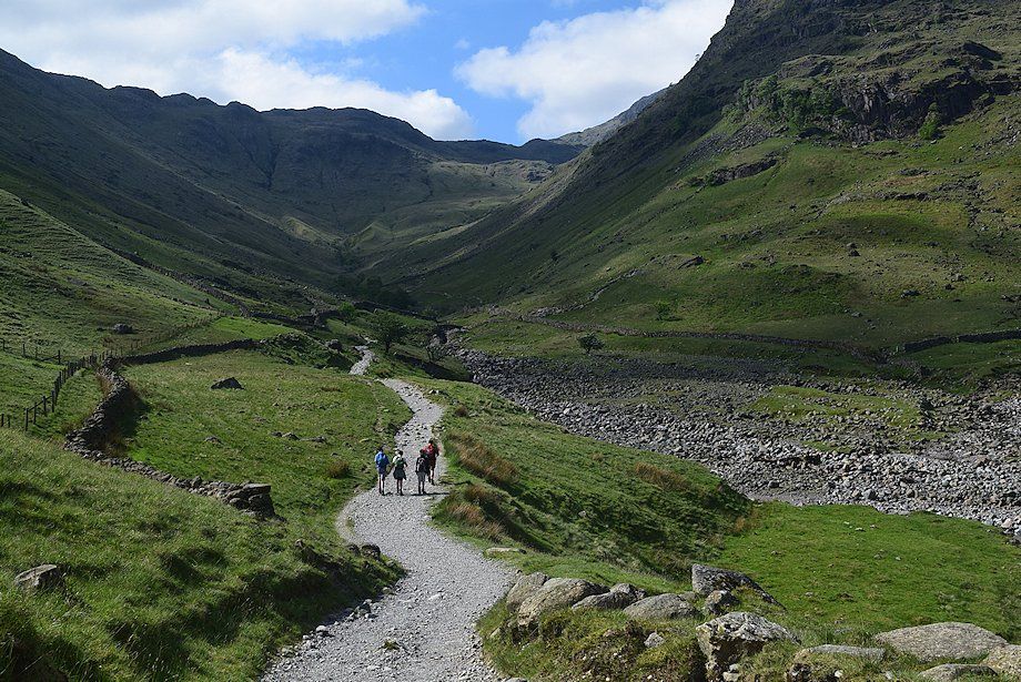
| Looking back from the Grains Gill path to Lowbank Crags |
 |
| Allen Crags from the path alongside Grains Gill |
 |
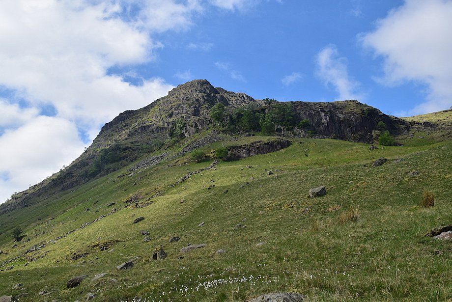
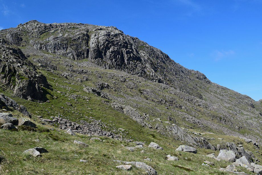
| Aaron Crags on Seathwaite Fell |
 |
| Allen Crags from the gate in the intake wall |
 |
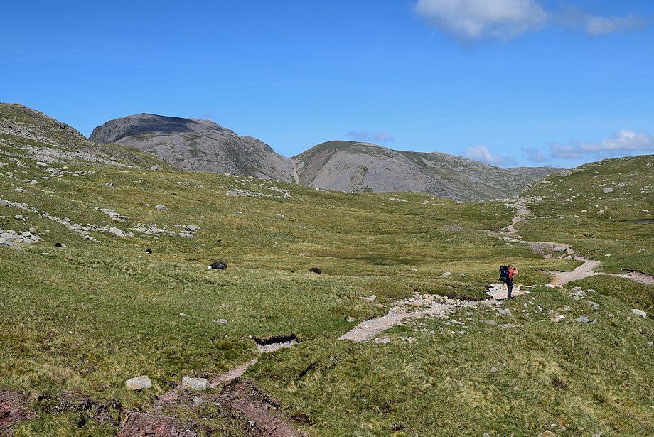
| Allen Crags from the valley of Grains |
 |
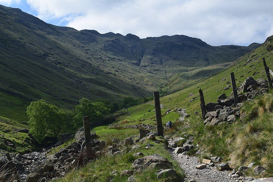
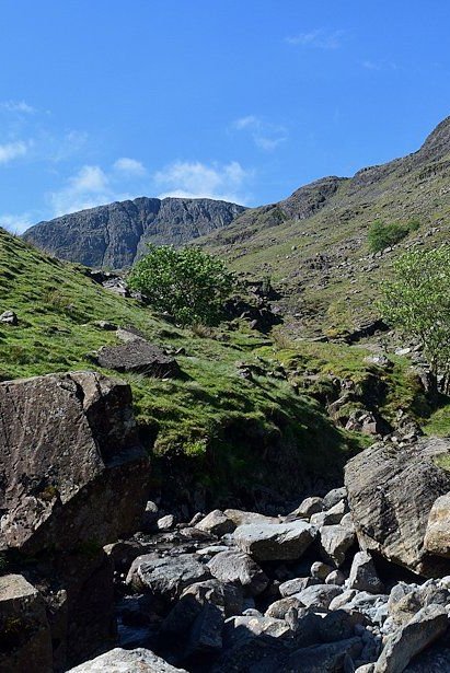
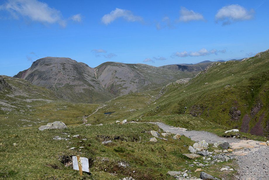
| Great End appears at the head of the valley as the path approaches the footbridge over Ruddy Gill |
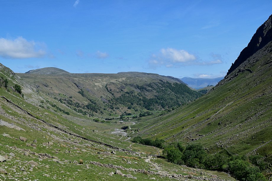 |
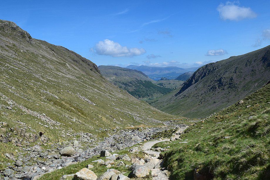
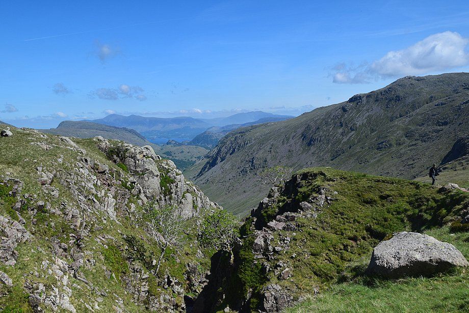
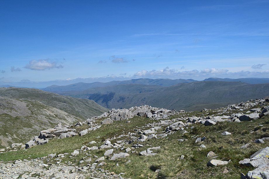
| Looking back along the valley, the summits of Dale Head and High Spy appear over High Scawdel with the distant Skiddaw Little Man to the right |
 |
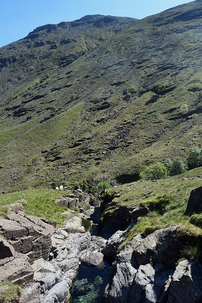
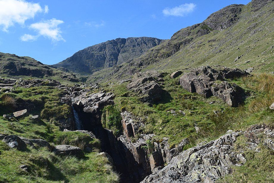
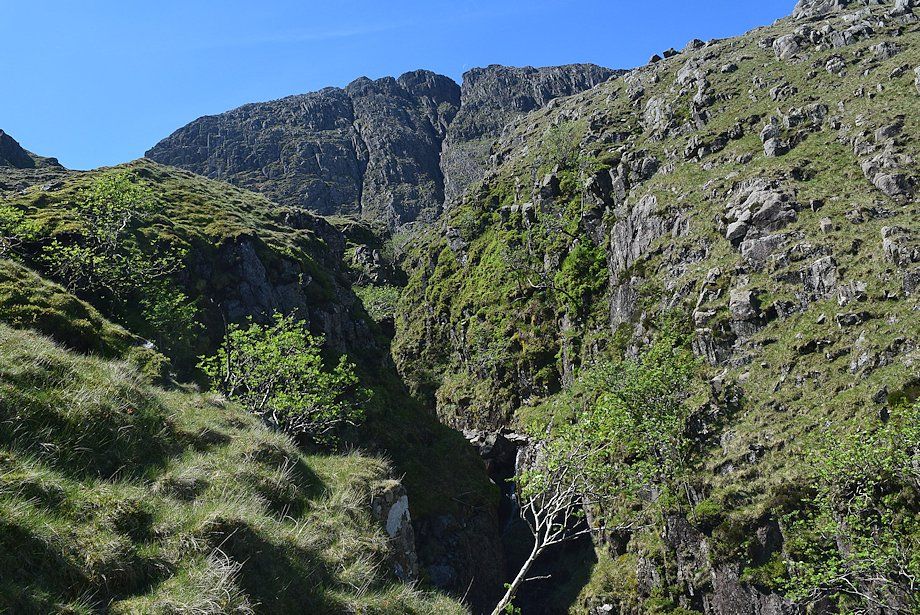
| The footbridge over Ruddy Gill, a major tributary of Grains Gill which cuts through a rock gorge below the bridge to drop vertically into Grains Gill. Unfortunately the beautiful watersmeet waterfall cannot be seen from this path |
 |
 |
| The gorge dropping into Grains Gill from Ruddy Gill footbridge |
Great End above Ruddy Gill from the footbridge |
|
 |
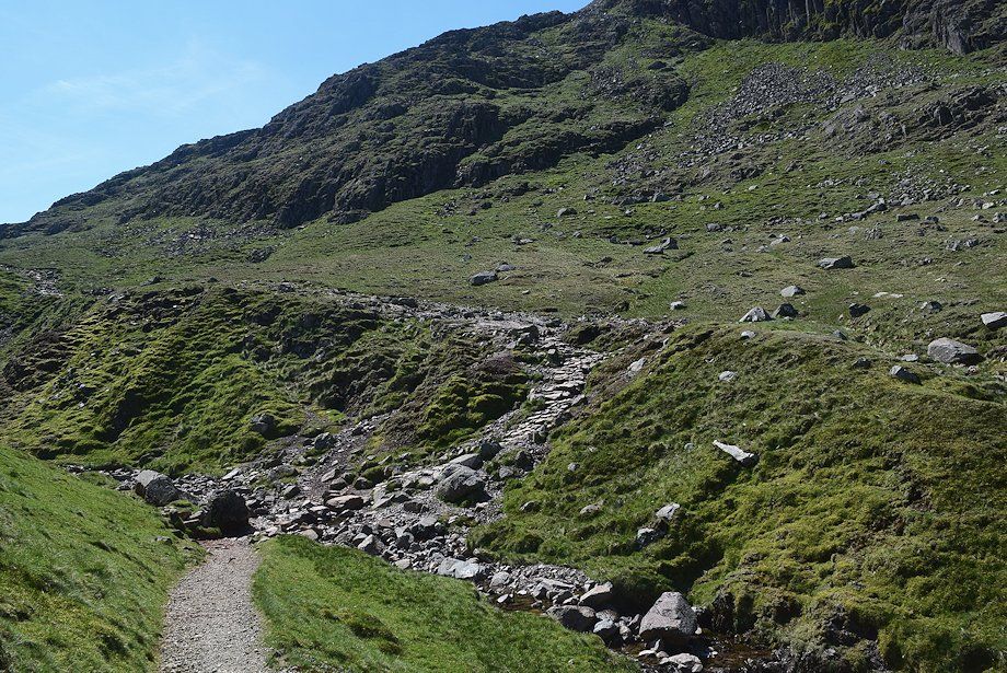
| The path now follows the course of Ruddy Gill passing a series of attractive cascades which merit closer inspection |
 |
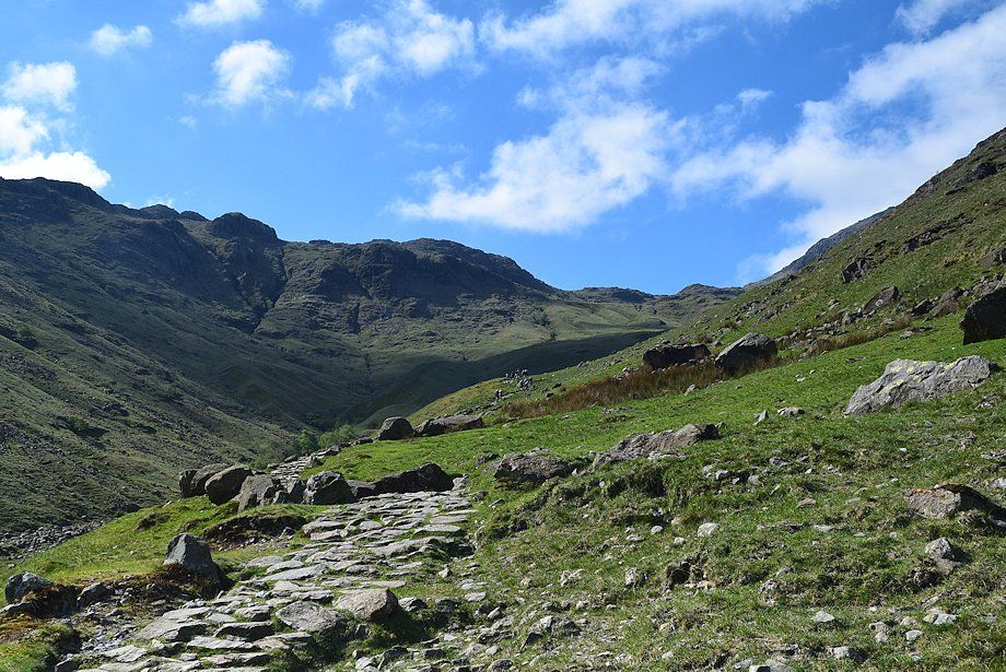
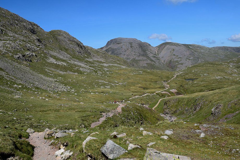
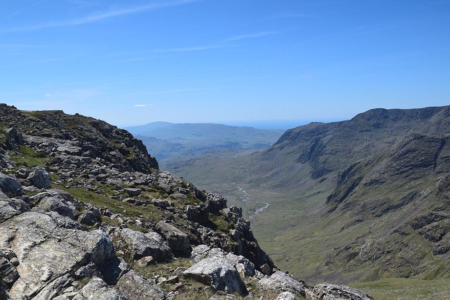
| Looking back along the Grains Valley |
 |
| Cascade in Ruddy Gill |
 |
| Above the last cascade the gradient eases as the valley broadens |
 |
| Looking across to Glaramara |
 |
| The path approaches the Ruddy Gill ravine |
 |
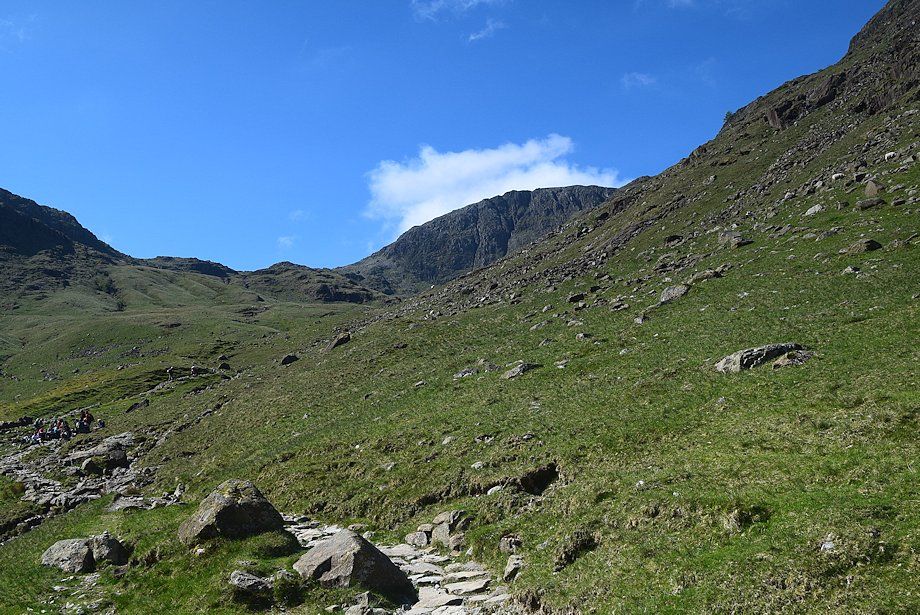
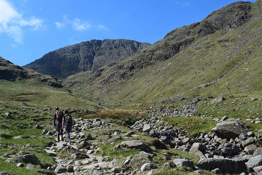
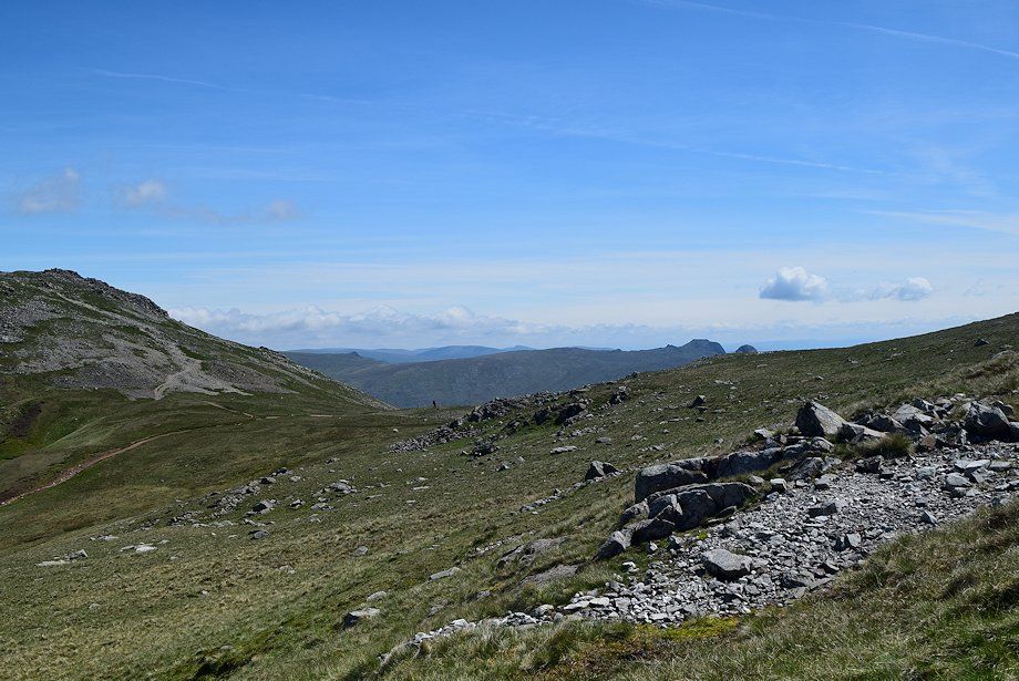
| Looking back along the route of ascent |
 |
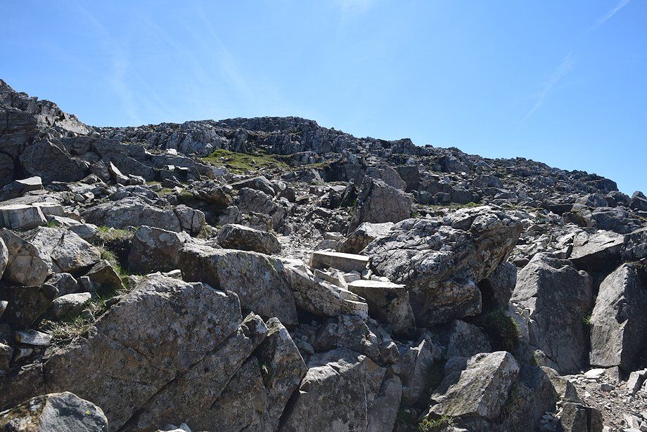
| The path above the ravine |
 |
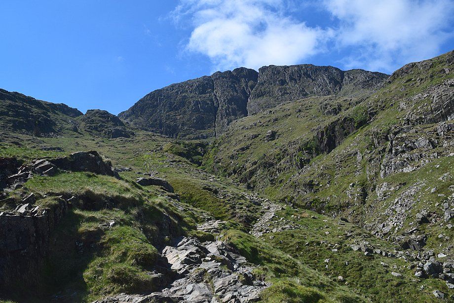
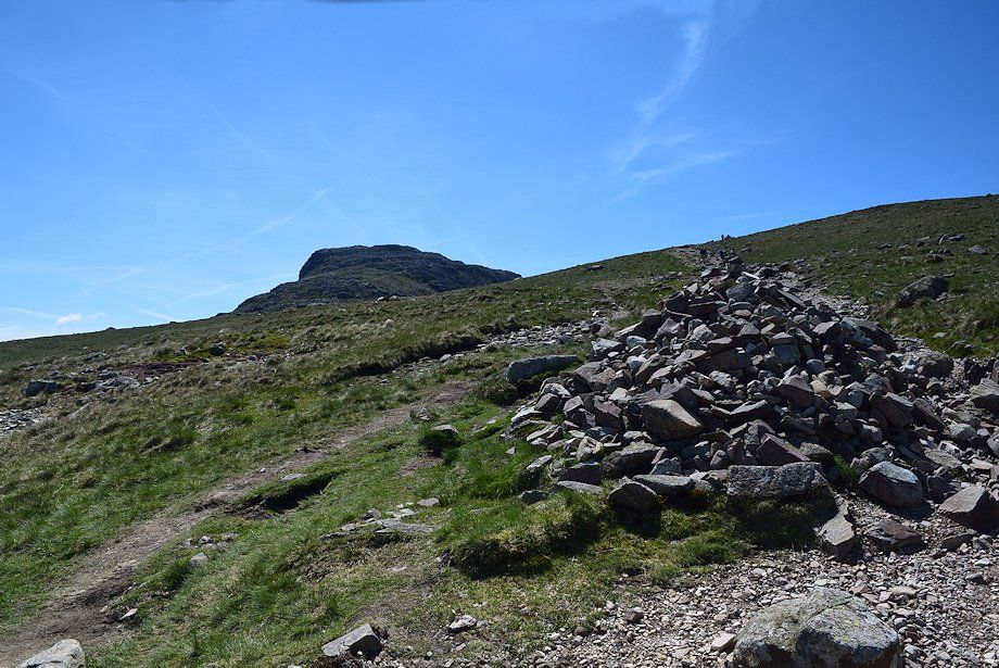
| Great End over the top of the Ruddy Gill ravine |
 |
| Looking back from near the top of the ravine |
 |
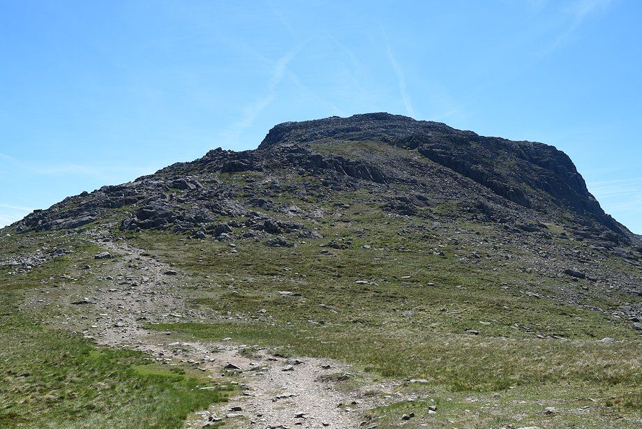
| Great End from the top of the ravine |
 |
| Skiddaw and Blencathra on the horizon from the top of the ravine |
 |
| The path crosses Ruddy Beck to join the bridleway rising from Sty Head |
 |
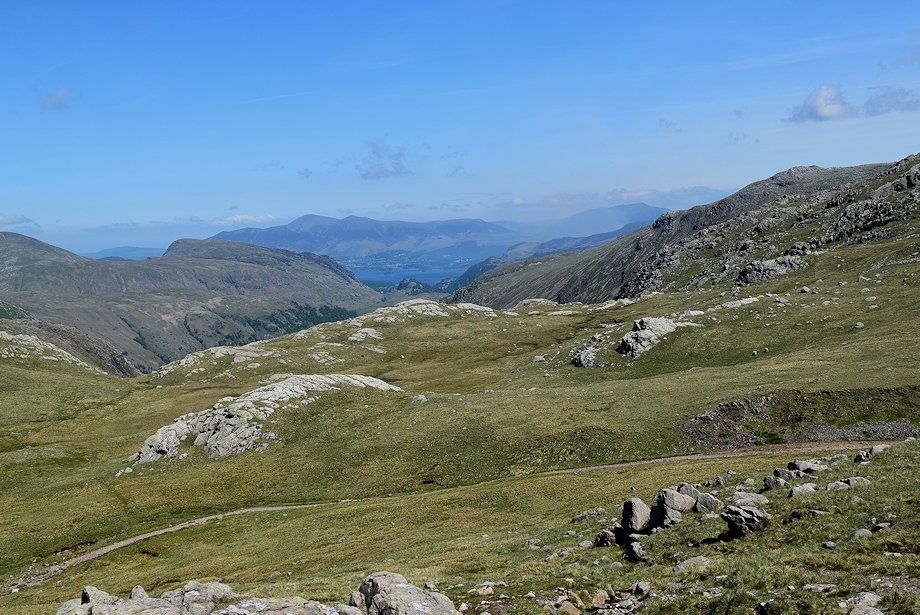
| Skiddaw and Derwent Water from the bridleway |
 |
| Great Gable and Green Gable from the bridleway |
 |
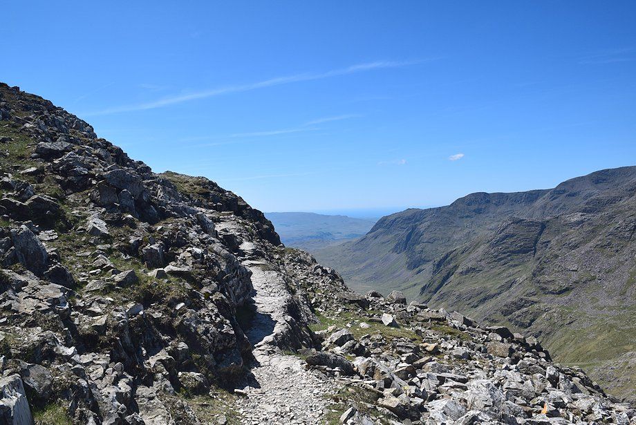
| The bridleway, which leads to Great Langdale via Rossett Gill, follows the course of Ruddy Gill below the northern crags of Great End |
 |
| Looking back to Great Gable and Green Gable from the bridleway |
 |
| Sprinkling Tarn across Ruddy Gill |
 |
| The bridleway is only followed for about 350 yards until, just before reaching a ford, the path to Esk Hause branches off to the right |
 |
| Looking back along the Sty Head ~ Great Langdale bridleway |
 |
| Great End from the path to Esk Hause |
 |
| Looking back from the path to Esk Hause |
 |
| Skiddaw and Derwent Water from the path to Esk Hause |
 |
| Looking over towards the summit of Allen Crags from the path to Esk Hause |
 |
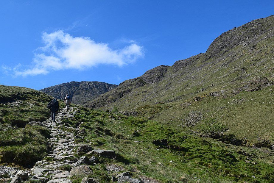
| The path to Esk Hause is a popular route to Scafell Pike from Great Langdale and Borrowdale |
 |
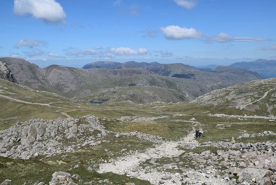
| Looking back to Sprinkling Tarn |
 |
| The summit of Esk Pike comes into view for the first time on the approach to Esk Hause |
 |
| The summits of Thunacar Knott, Harrison Stickle, and Pike o'Stickle, three of the Langdale Pikes, come into view |
 |
| The summits of Glaramara and Allen Crags from just below Esk Hause |
 |
| Esk Pike from Esk Hause |
 |
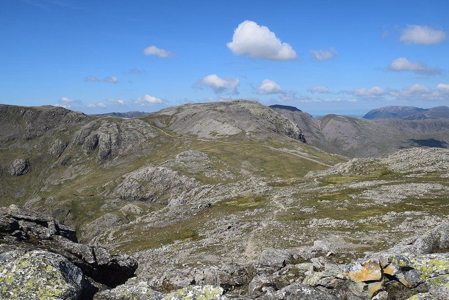
| Glaramara and Allen Crags |
 |
| Skiddaw and Derwent Water from Esk Hause |
 |
| High Raise and the Langdale Pikes from Esk Hause |
 |
| Harter Fell from Esk Hause |
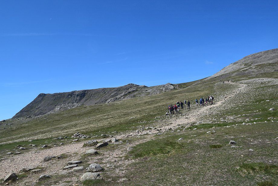 |
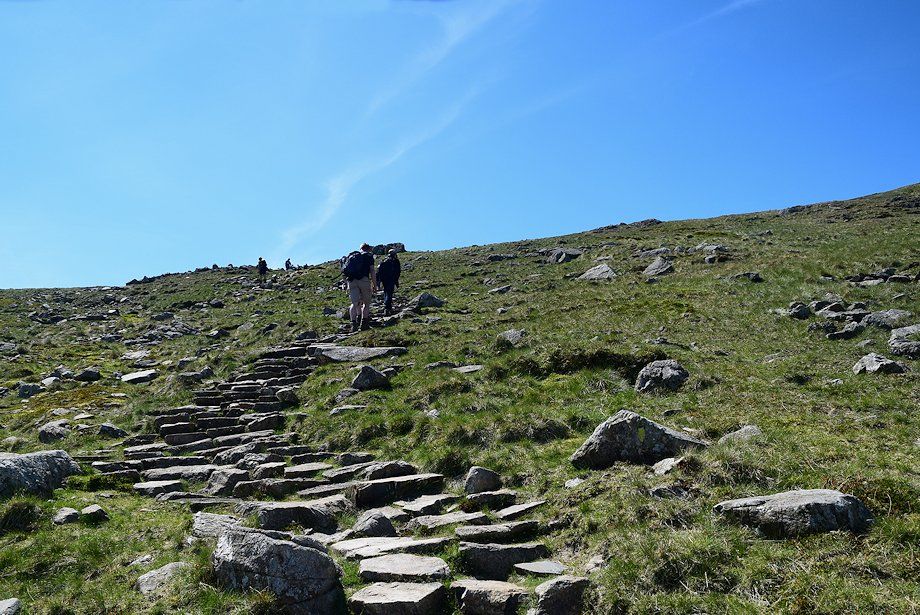
| Walkers heading for Calf Cove bound for Scafell Pike |
 |
| Starting the climb of Esk Pike's north-west ridge |
 |
| Looking back to Esk Hause from the lower part of the north-west ridge |
 |
| The North-Western Fells, Skiddaw and Allen Crags from the north-west ridge |
 |
| The gradient eases as the path approaches the grassy halfway point on the ridge |
 |
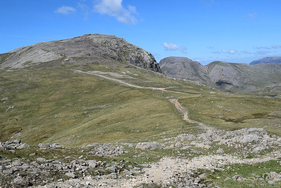
| Great End, Great Gable and Green Gable from near the mid-point on the ridge |
 |
| Looking over towards Long Green and the eastern slopes of Scafell across Pen and Ill Crag |
 |
| Midway along the north-west ridge |
 |
| Looking north-east, the Helvellyn range and Fairfield over Ullscarf and High Raise |
 |
| Looking back from the halfway point of the ridge, the girls descending had just informed me that conditions on the summit were "a bit lively" |
 |
| Looking over to Slight Side, Long Green, Scafell and Ill Crag |
 |
| Looking back to Great End, Great Gable and Green Gable |
 |
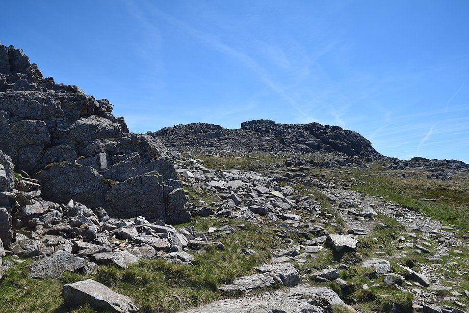
| Above the grassy mid section of the ridge the route veers right to avoid a band of crags and continues along a balcony ledge above the western crags |
 |
| The path along the balcony ledge |
 |
| The balcony path gives fine views down to Great Moss it ends at a flat rock platform seen here on the left skyline |
 |
| The North-Western Fells from the rock platform |
 |
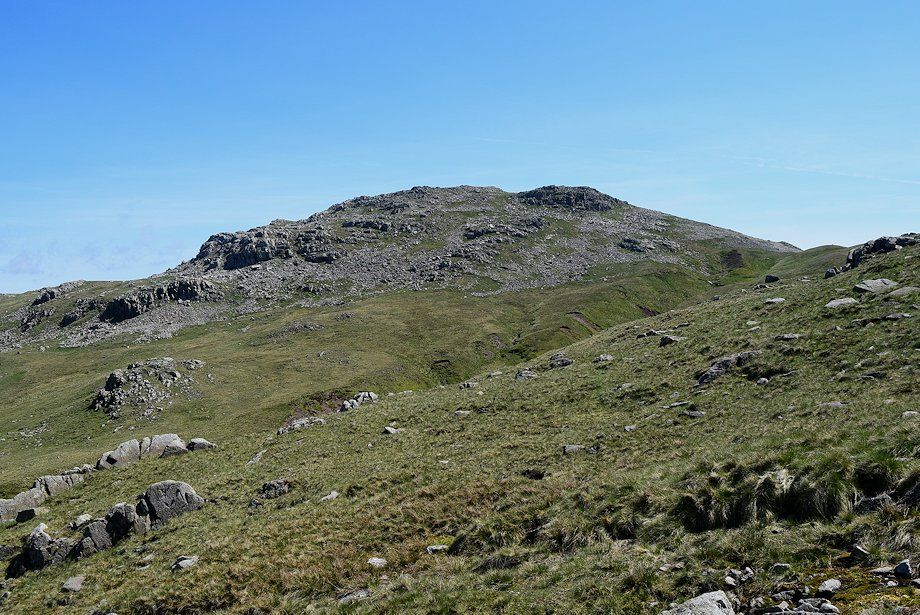
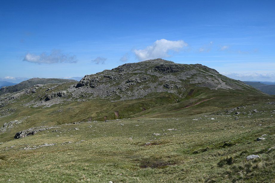
| The summit of Esk Pike from the rock platform |
 |
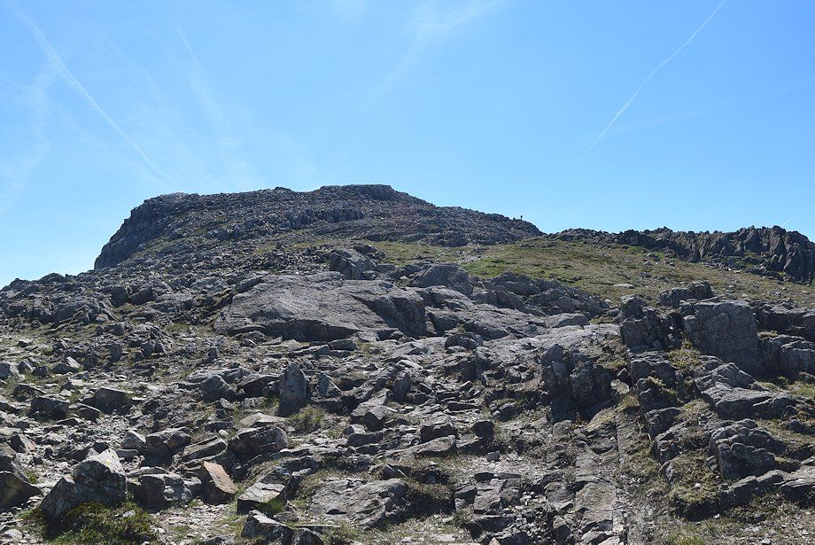
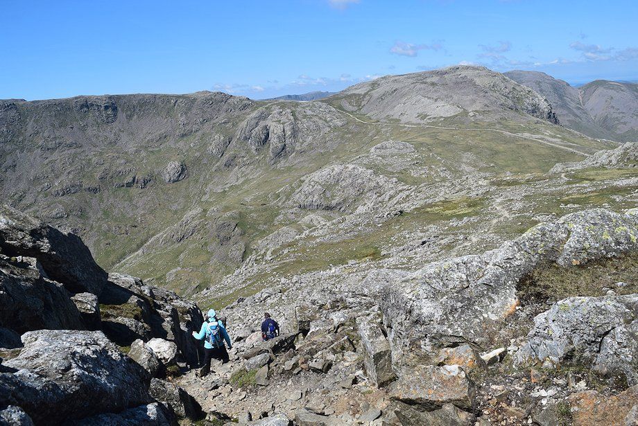
| The summit is on the left and is usually reached by the narrow gully slanting up from the right or more easily directly via the open rocky slope on the left |
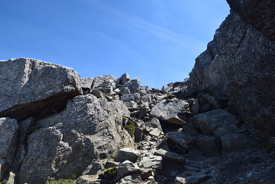 |
| The rock gully leading up to the summit |
 |
| Scafell Pike from the rock gully |
 |
| Looking back from the top of the gully |
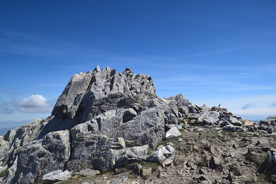 |
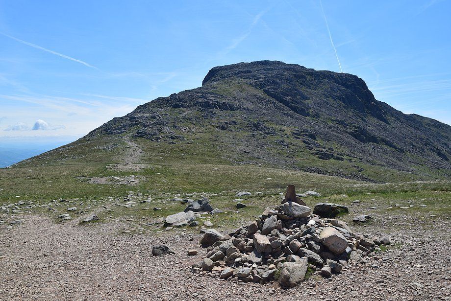
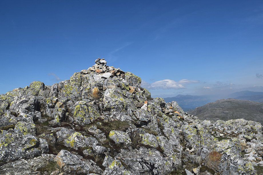
| The summit of Esk Pike. It had been a bit windy on the climb up the north-west ridge from Esk Hause but as the girls had warned, the wind was ferocious on the summit making it difficult to remain upright. The summit photos could only be taken by crouching down and bracing myself against the rocks. Despite the blue sky and excellent visibility I did not stay long |
 |
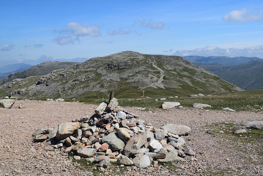
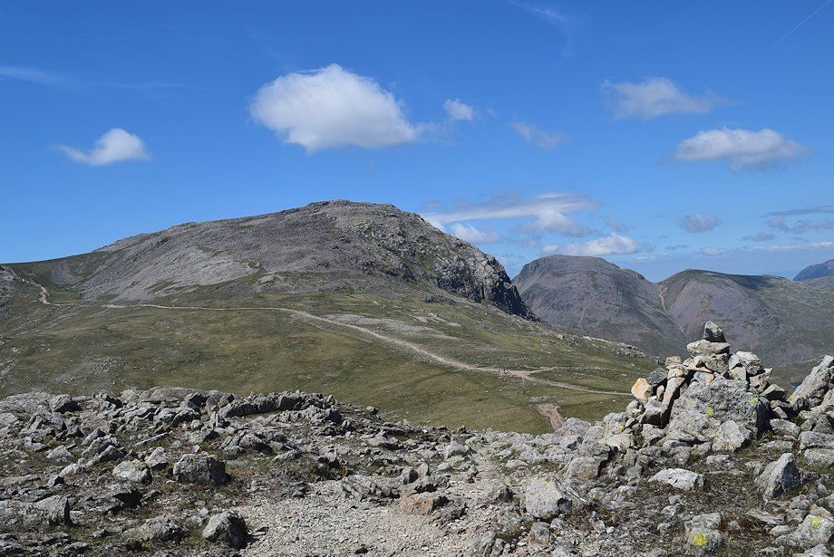
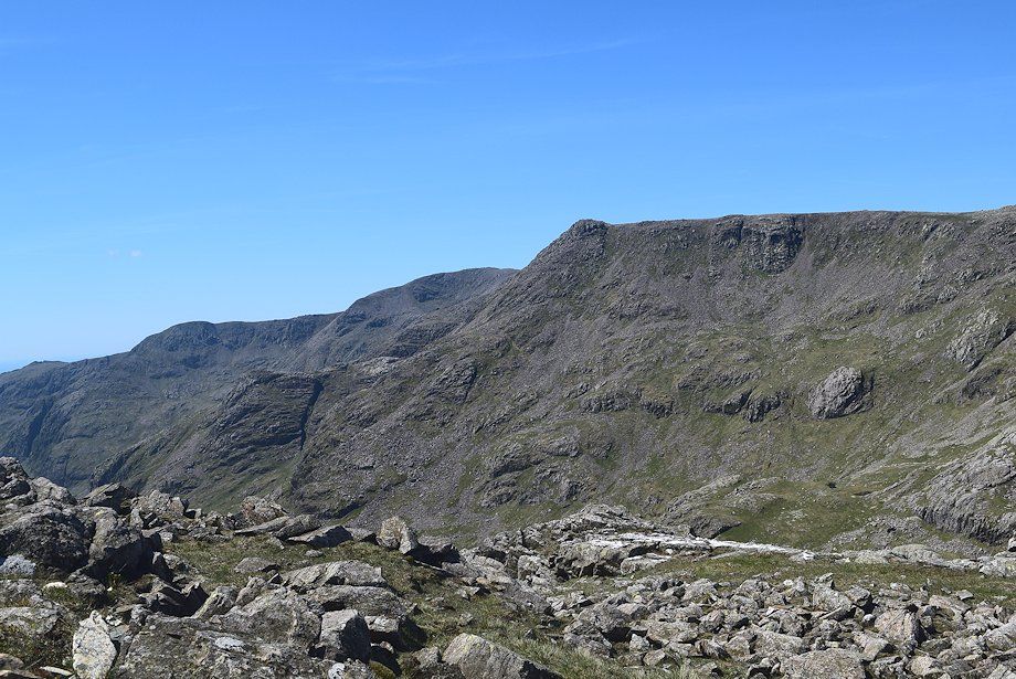
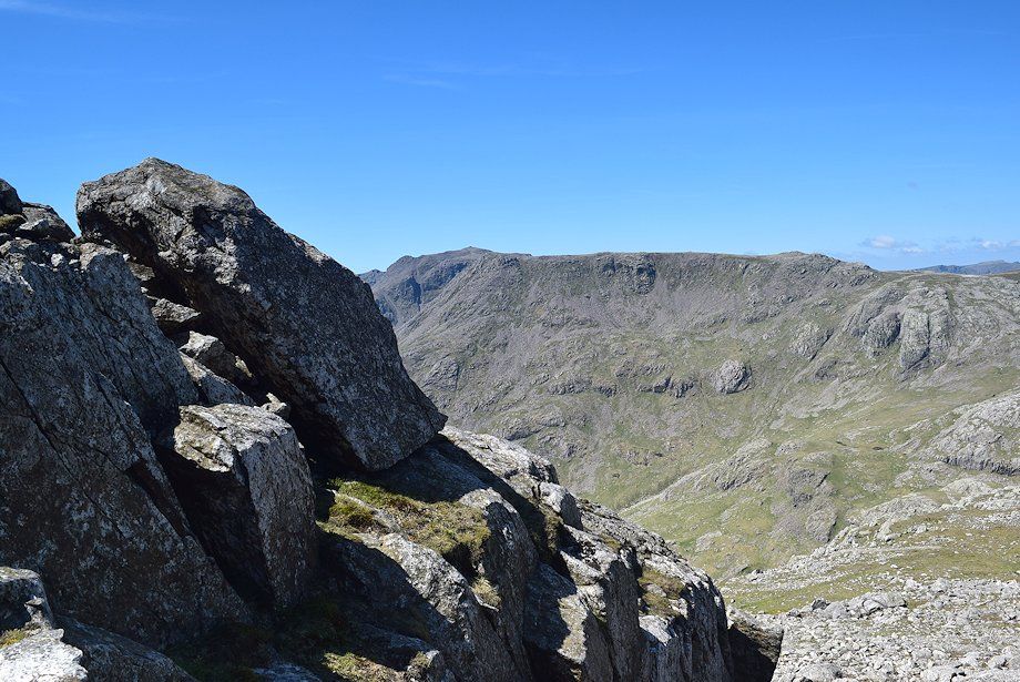
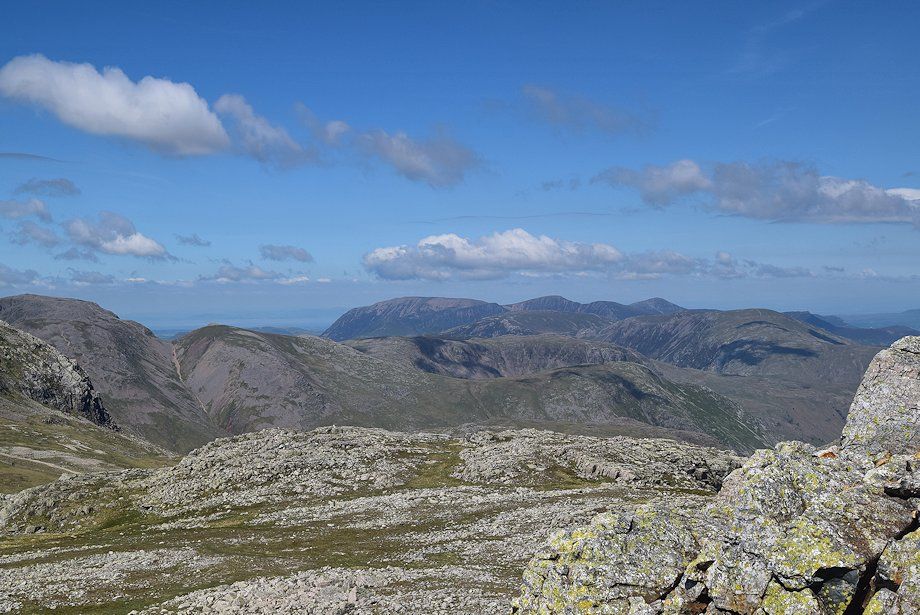
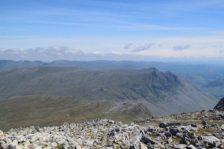
| Hanging Knotts and Bowfell from the summit of Esk Pike |
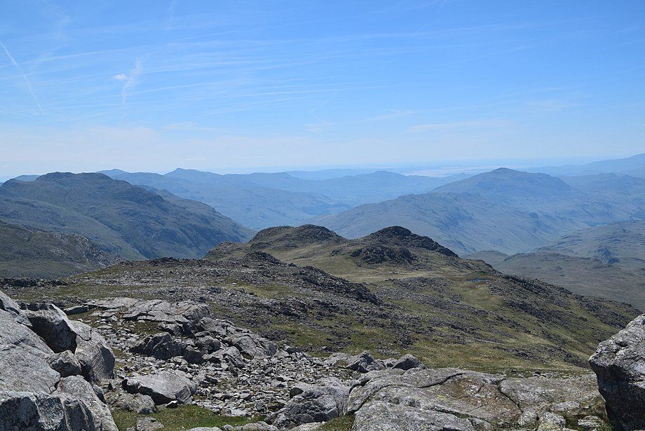 |
| Pike de Bield on the south ridge of Esk Pike flanked by Crinkle Crags and Harter Fell. On the left skyline the Coniston fells of Swirl How, Coniston Old Man, Grey Friar and Dow Crag |
 |
| Scafell and Scafell Pike from the summit of Esk Pike |
 |
| Great End from the summit of Esk Pike |
 |
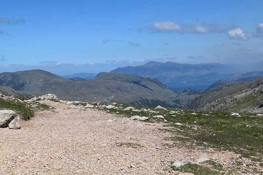
| Looking north, the North-Western Fells of Grasmoor, Wandope, Eel Crag, Sail, and Grisedale Pike form the centre skyline |
 |
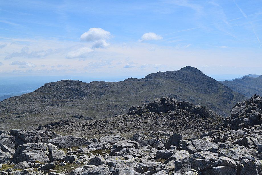
| The slightly lower north top of Esk Pike looking to Skiddaw and Blencathra over the summit of Glaramara |
 |
| Langstrath with Blencathra, Souther Fell, Clough Head, Great Dodd, Stybarrow Dodd, Raise, White Side, Helvellyn, Nethermost Pike, Dollywaggon Pike, St Sunday Crag, Fairfield and Hart Crag forming the skyline |
 |
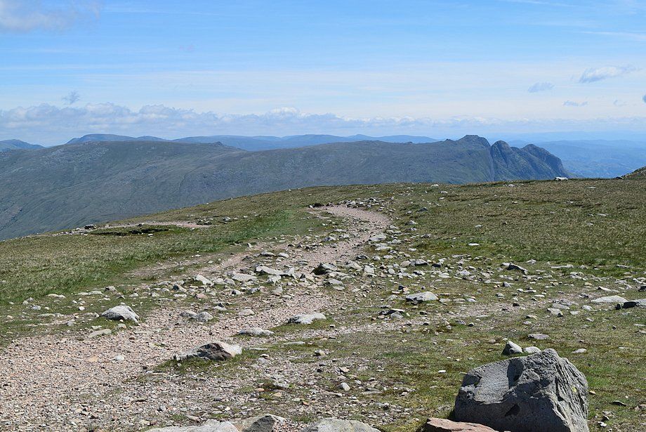
| Looking east, the Langdale Pikes over Rossett Pike |
