 |
| Bridgend at the start of the walk where there are spaces to park on either side of Deepdale bridge |
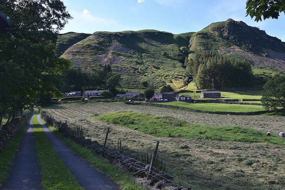 |
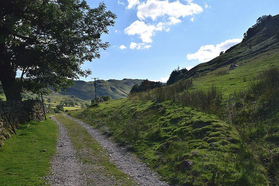
| From the north side of Deepdale Bridge a narrow lane leads up to Lane Head. Turn left on reaching the first cottage and pass through a gate onto a rough track which leads on above the farms of Deepdale Hall and Wall End into the valley of Deepdale |
 |
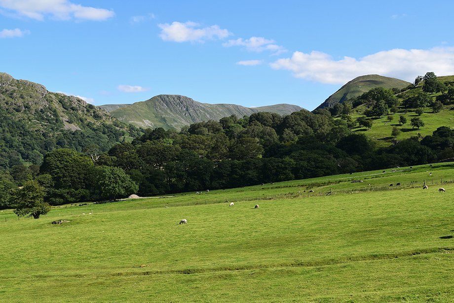
| The Hartsop-above-How ridge from the approach to Deepdale Hall |
 |
| Looking across to Gray Crag and Thornthwaite Crag above the trees with the summit of Hartsop Dodd on the right above Deepdale Park |
 |
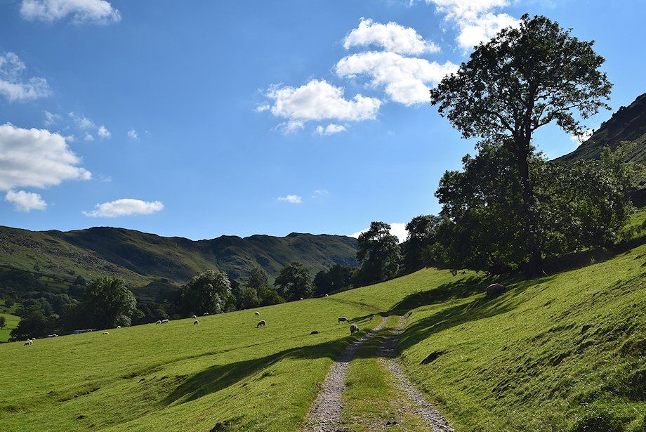
| Looking back past Deepdale Hall to Place Fell |
 |
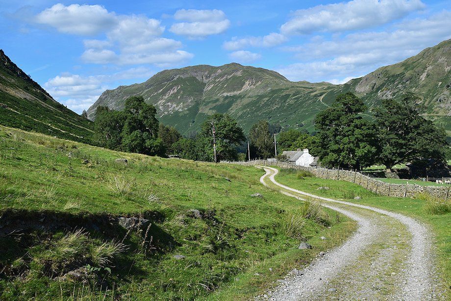
| The track continues on towards Wall End Farm |
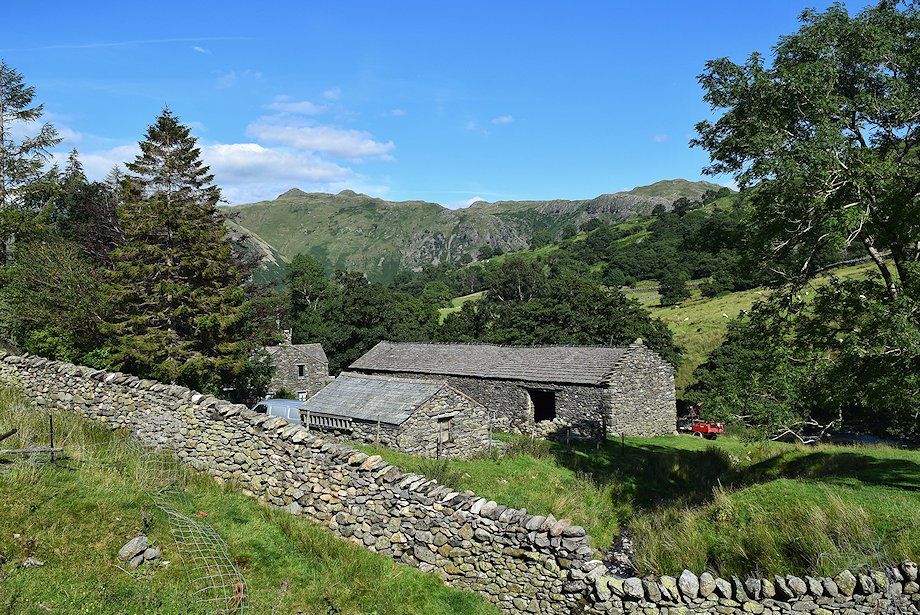 |
| Wall End Farm |
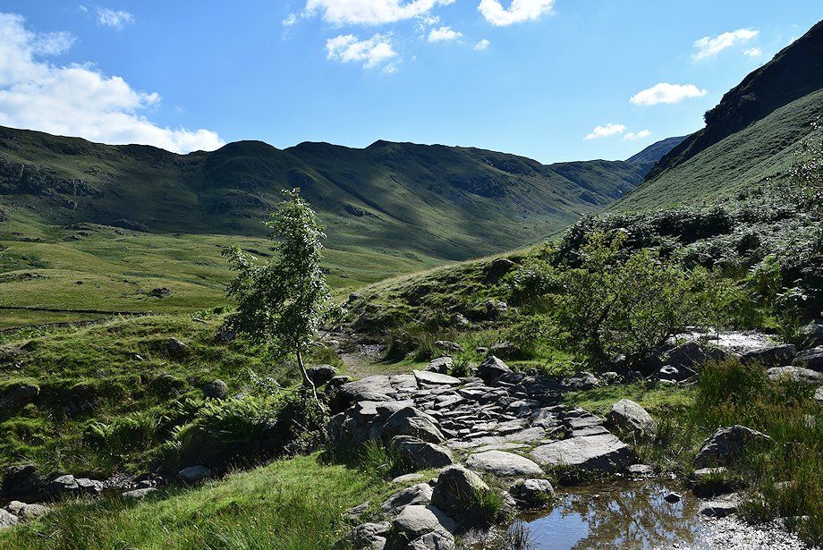 |
| Beyond Wall End Farm the track comes to an end at a simple clapper bridge over Coldcove Gill |
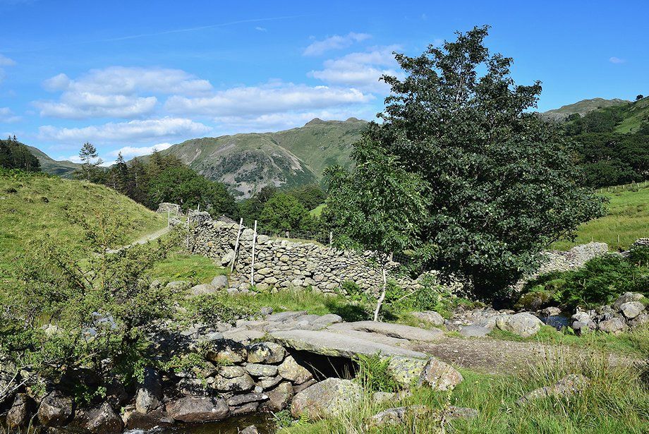 |
| Looking back from the bridge over Coldcove Gill |
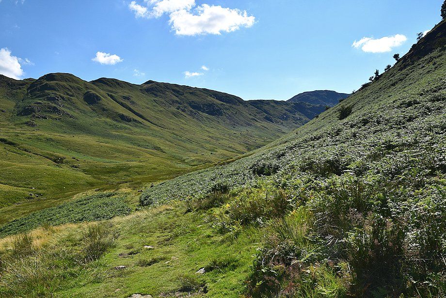 |
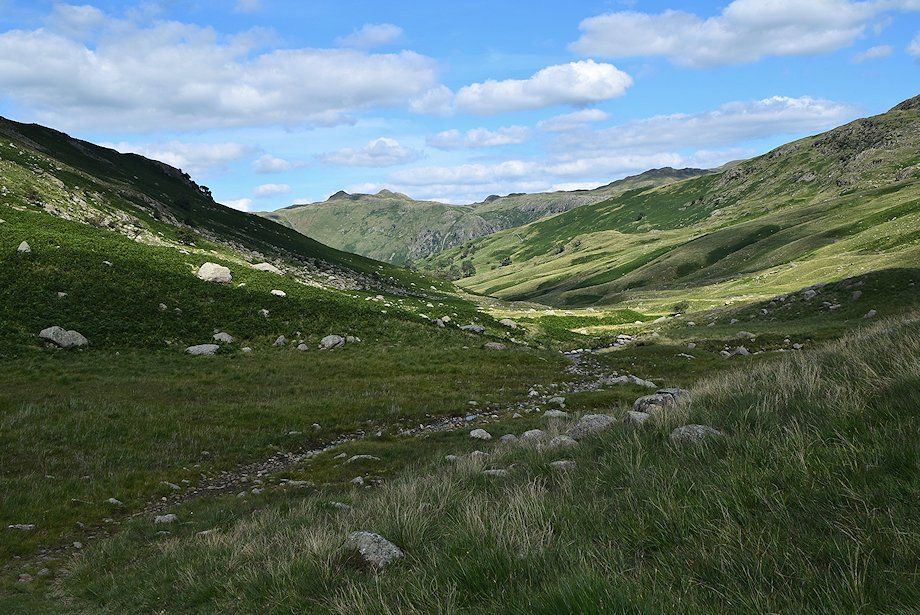
| A fair path continues on from Coldcove Bridge but it does become indistinct in parts as it advances into the wild upper reaches of the valley |
 |
| Looking back towards Place Fell and Boredale Hause |
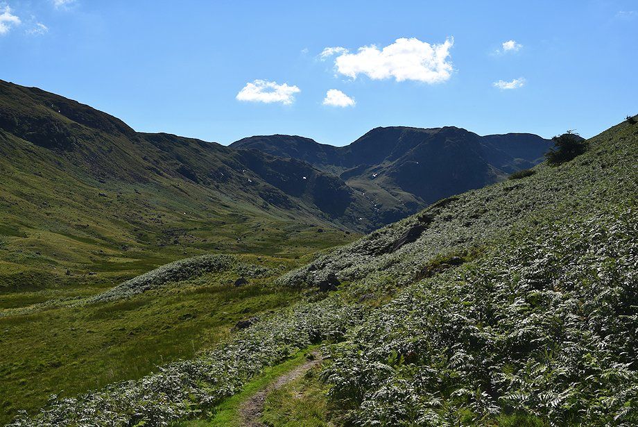 |
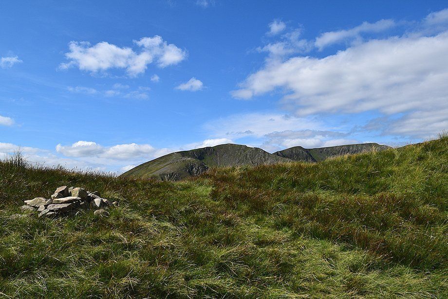
| The summit of Fairfield comes into view on the right of the photo |
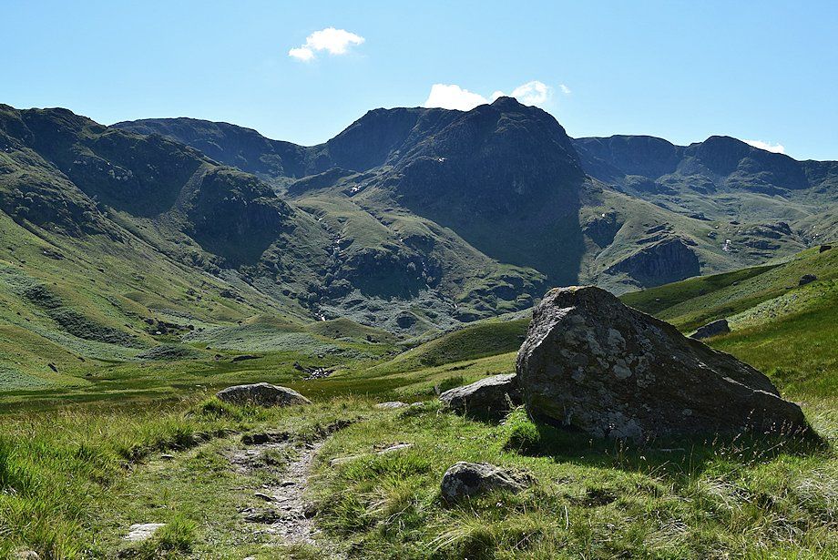 |
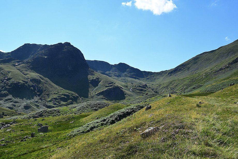
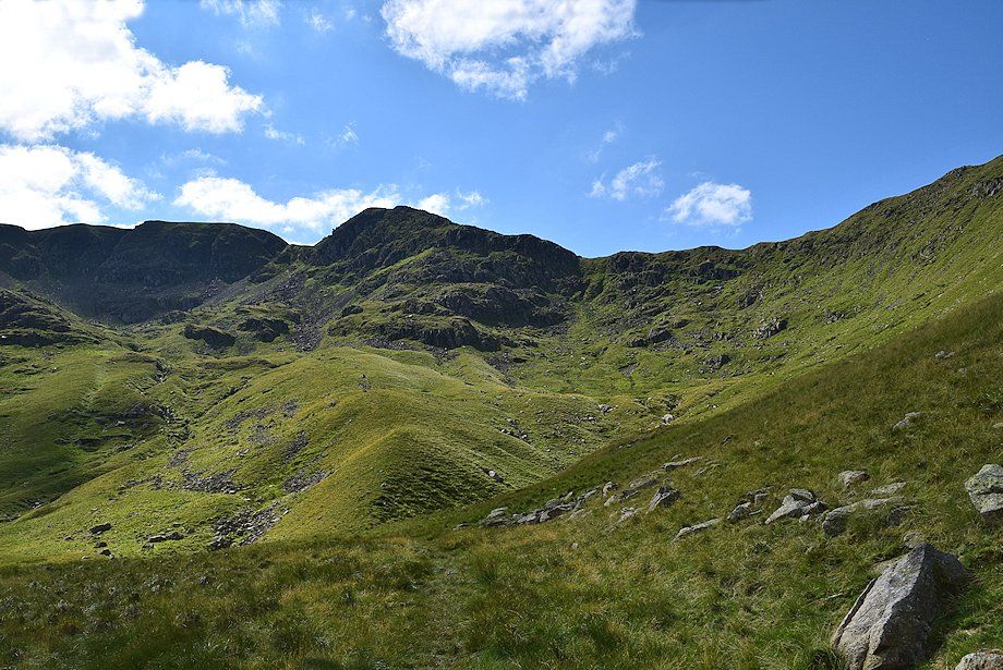
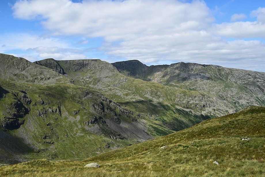
| Erne Nest Crag, Hart Crag, Scrubby Crag and Greenhow End surrounding the hanging valley of Link Cove on the left, Fairfield and Cofa Pike above Sleet Cove on the right. The path begins to turn away from Deepdale Beck to weave its way through an area of moraines littered with erratic boulders |
 |
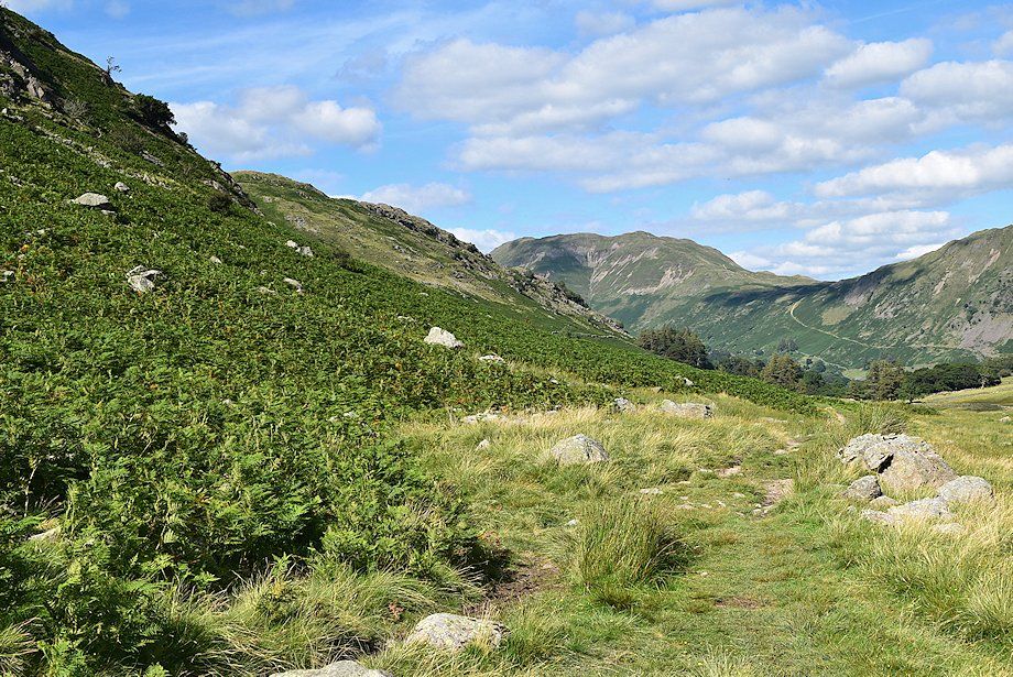
| Looking back along the lower part of Deepdale to Angletarn Pikes And Brock Crags |
 |
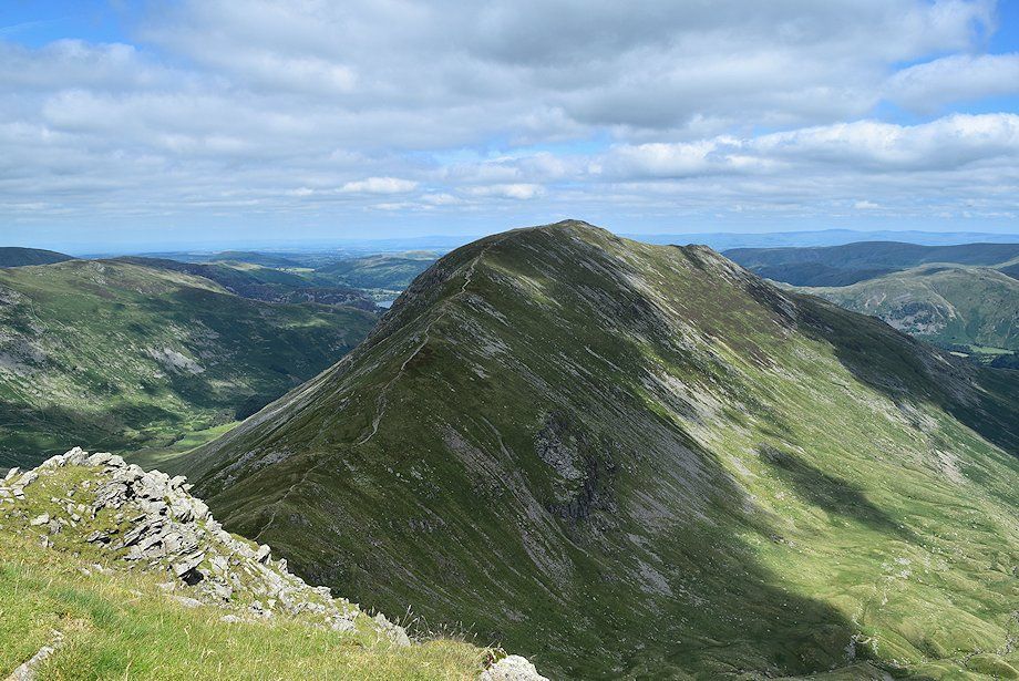
| The objective is to reach Deepdale Hause, the low point on the skyline, and continue over Cofa Pike onto the summit of Fairfield |
 |
| The path passes between the left hand pair of three prominent moraines which are noted in the second revision of the Wainwright Guides currently being undertaken by Clive Hutchby. These are highly recommended for their extra detailed notes on this and other routes in the Pictorial Guides |
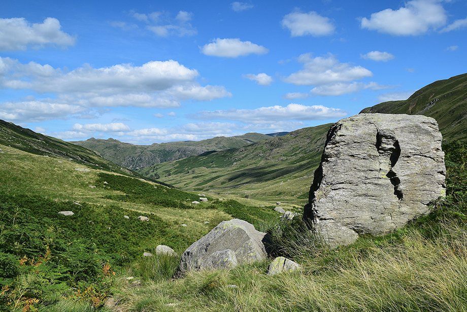 |
| Looking back from the 'three moraines' |
 |
| There is a small tarn behind the moraines which sometimes completely dries out in summer |
 |
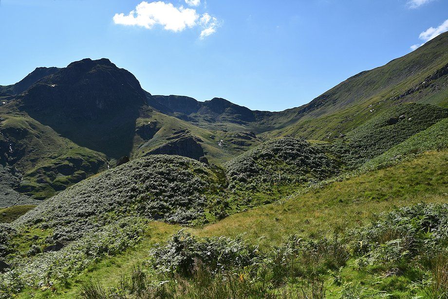
| Looking over Mossydale to Hart Crag above Link Cove flanked by Erne Nest Crag And Greenhow End |
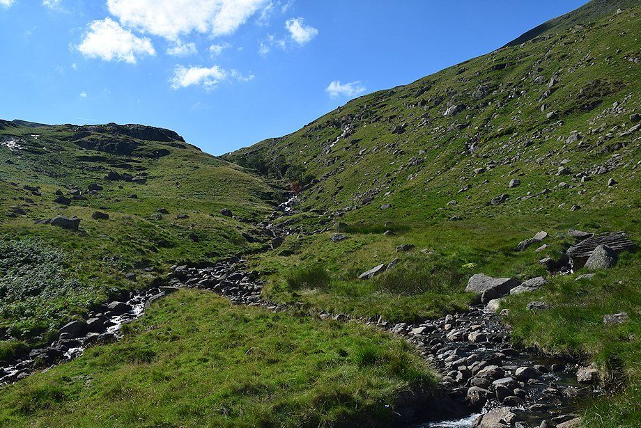 |
| After two miles of easy walking the path begins a steeper climb along the north side of a narrow ravine to reach Sleet Cove, the upper part of Deepdale |
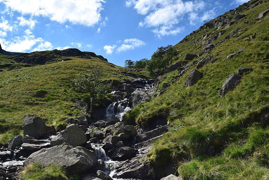 |
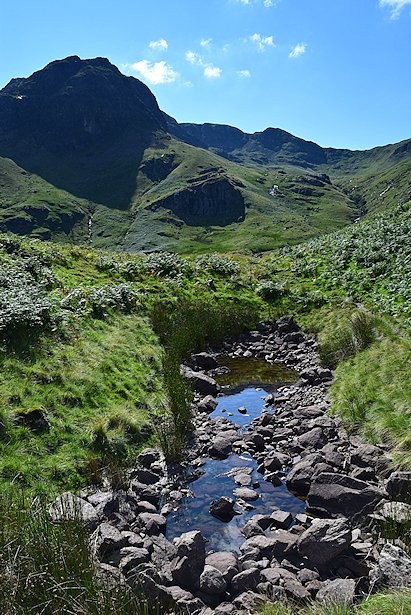
| Cascades in Deepdale Beck |
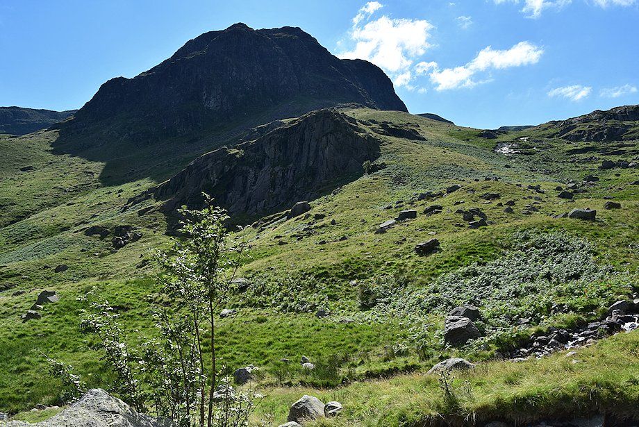 |
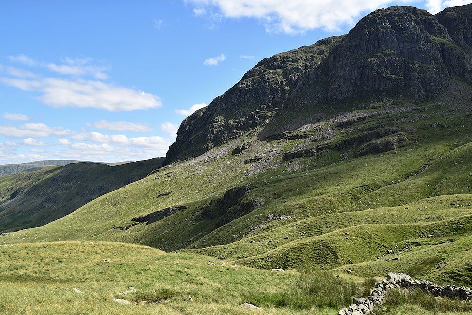
| Looking across the ravine to Greenhow End towering above Mart Crag |
 |
| The summit of Fairfield and Cofa Pike from near the top of the ravine |
 |
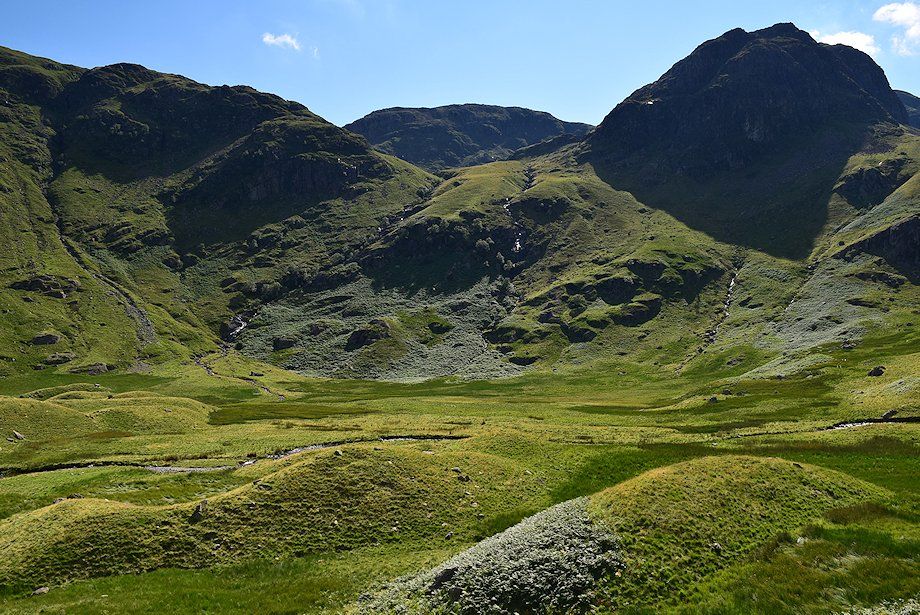
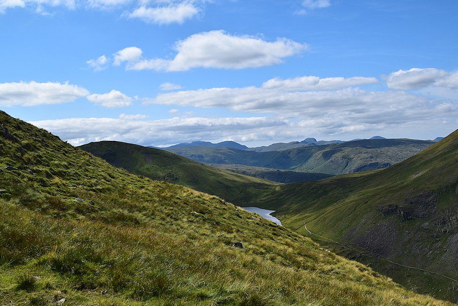
| Sleet Cove from the top of the ravine, the path skirts around the extensive area of moraines on the right |
 |
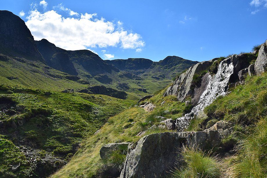
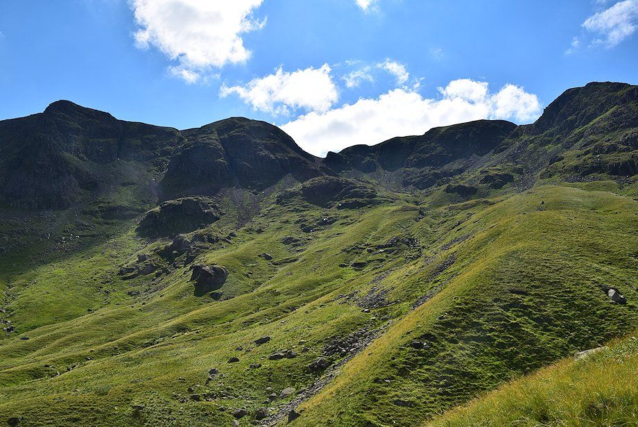
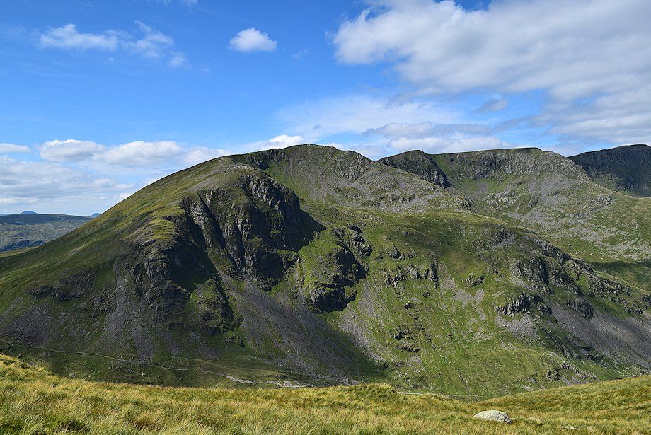
| The north face of Greenhow End and Hutaple Crag from the top of the ravine |
 |
| Fairfield, Cofa Pike and Deepdale Hause. The path over this section is much fainter as it traverses across some wet slopes |
 |
| Greenhow End and Hutaple Crag from the sheepfold which AW noted in his diagram of this ascent |
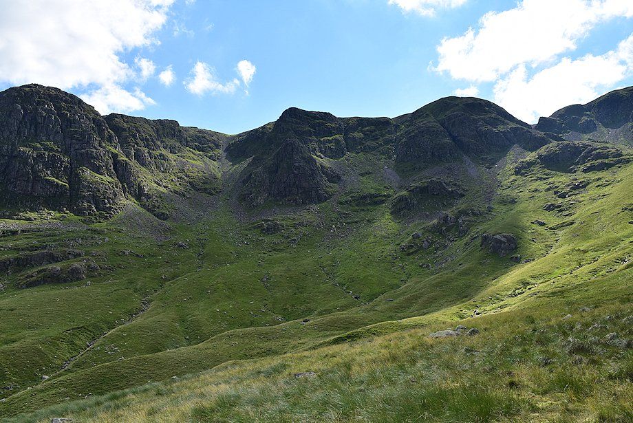 |
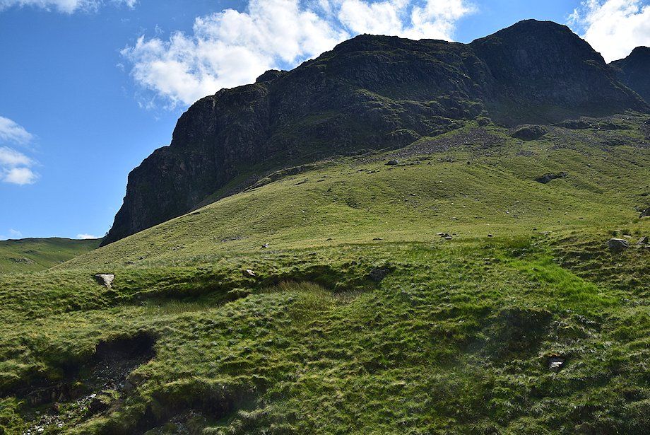
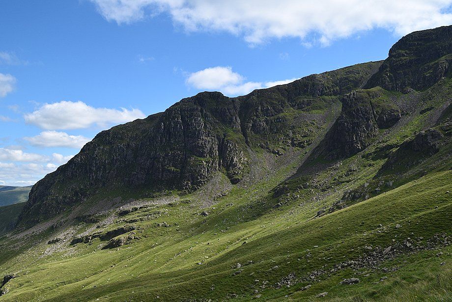
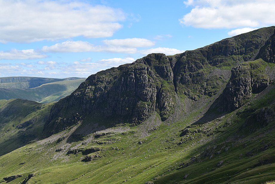
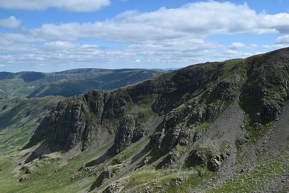
| The crags above Sleet Cove have a number of winter climbing routes. The only ones I can identify with any degree of confidence are Curving Gully which is almost 500 ft long, splitting the face of Hutaple Crag on the left, and Black Buttress, the prominent rock pillar, in the centre of the photo. Black Tippet, the scree gully between them, provides an easy (relatively) descent route from the top of the climbs |
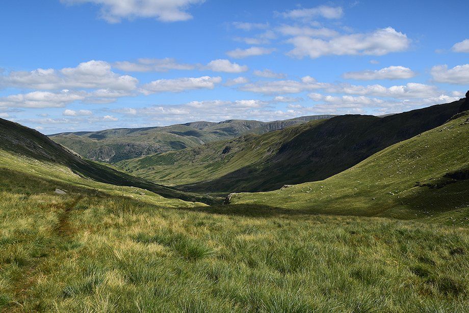 |
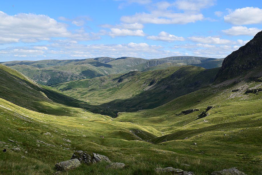
| Looking back from Sleet Cove, the highest of the far eastern fells, High Raise, Rampsgill Head and High Street are visible on the horizon |
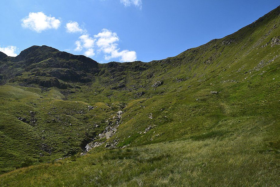 |
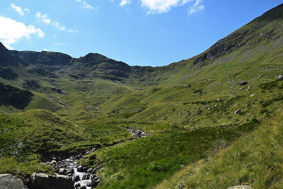
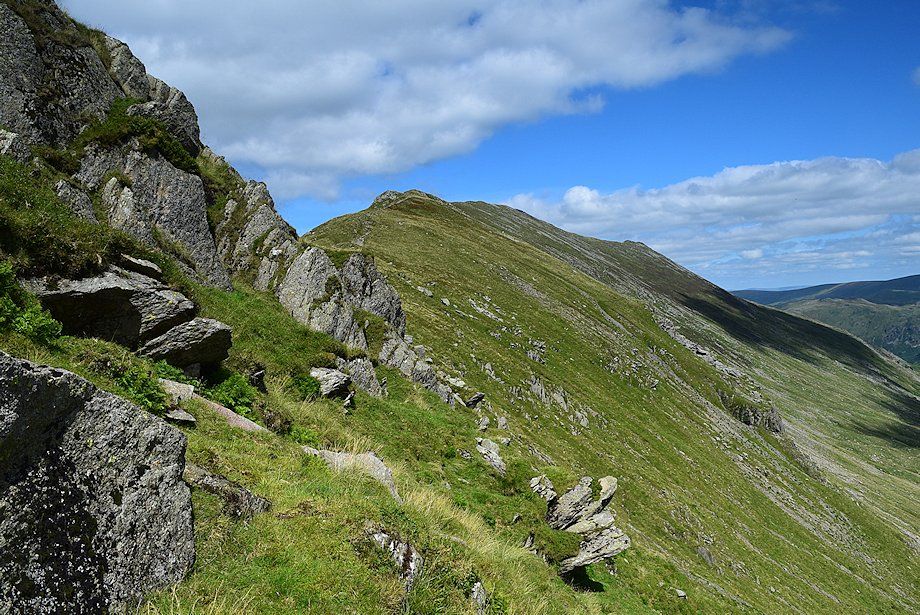
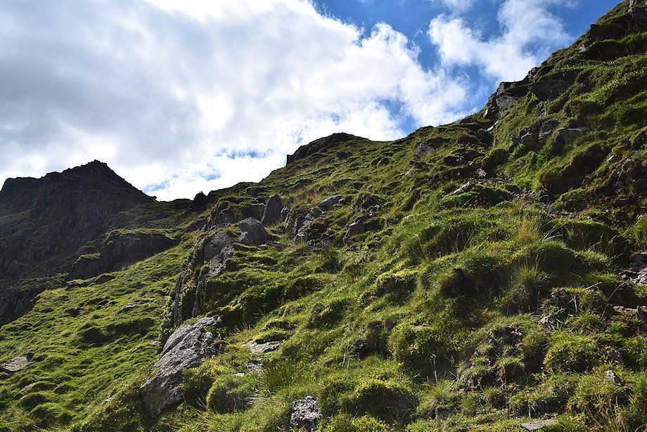
| Approaching the headwall of Sleet Cove. The climb to Deepdale Hause from here is the steepest part of the entire walk |
 |
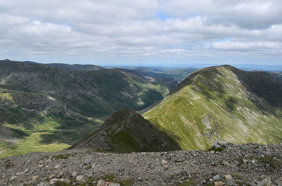
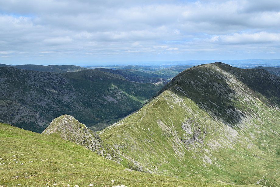
| Looking up to Cawk Cove, the high combe below the summit of Fairfield and Cofa Pike |
 |
| Looking back from the climb to Deepdale Hause |
 |
| Hutaple Crag and the profile of Black Buttress from the climb to Deepdale Hause |
 |
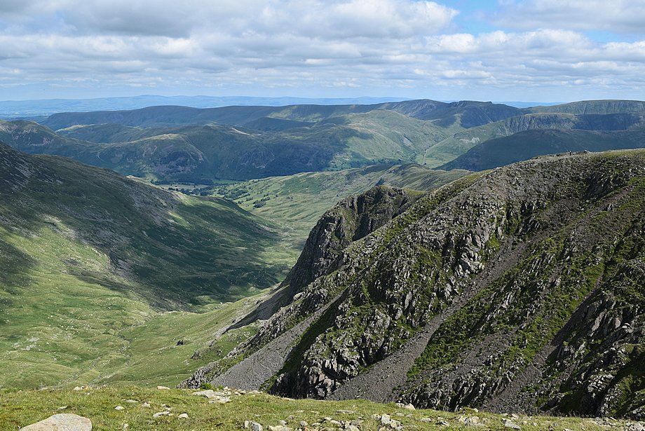
| Looking over to the summit ridge of St. Sunday Crag from the climb to Deepdale Hause |
 |
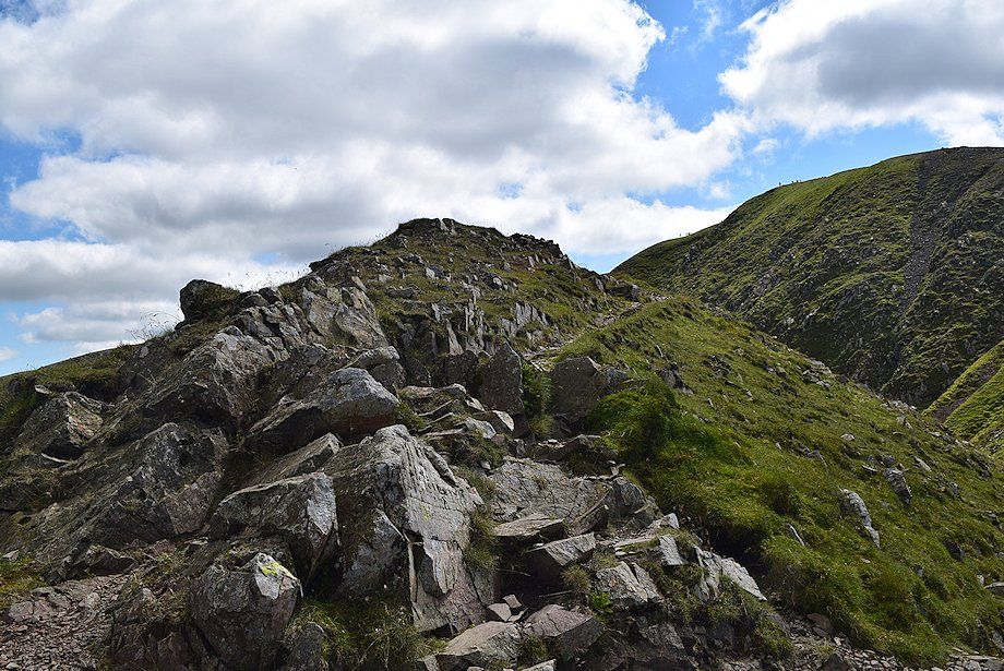
| Approaching the top of Deepdale Hause with Cofa Pike on the left |
 |
| Dollywaggon Crag, High Crag, and Nethermost Pike appear over the crest of Deepdale Hause |
 |
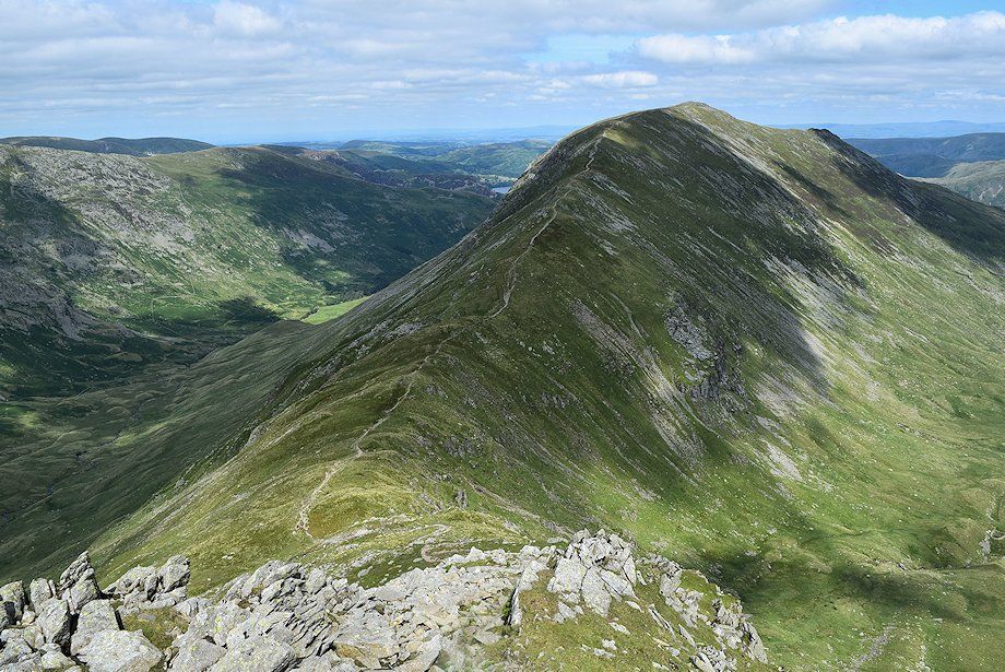
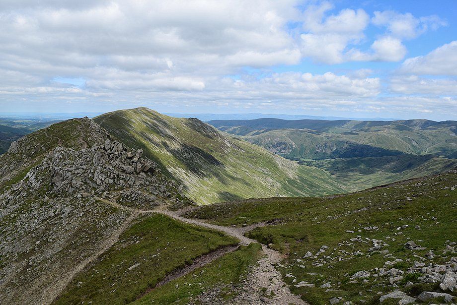
| The connecting ridge from Deepdale Hause to St. Sunday Crag |
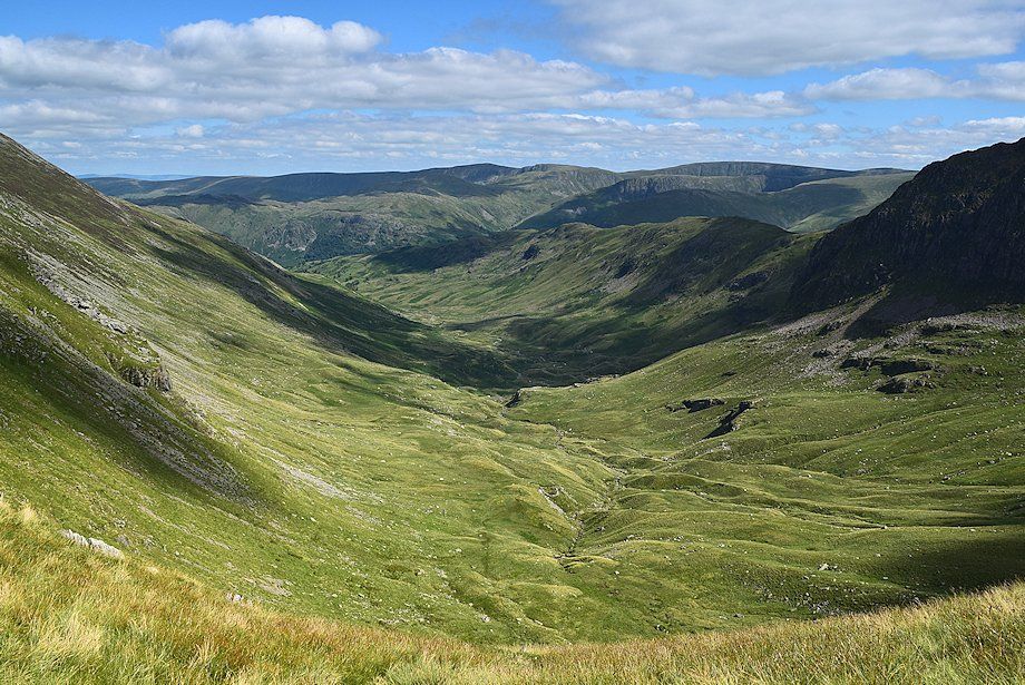 |
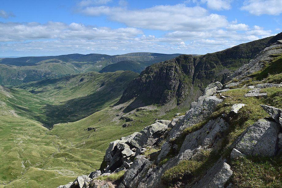
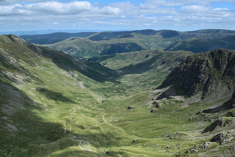
| Deepdale from Deepdale Hause |
 |
| Greenhow End, Hutaple Crag and Black Buttress across Sleet Cove |
 |
| Nethermost Pike and Helvellyn from Deepdale Hause |
 |
| Dollywaggon Pike from Deepdale Hause |
 |
| Looking west the summits of the Scafells, Great Gable, and Pillar appear on the horizon |
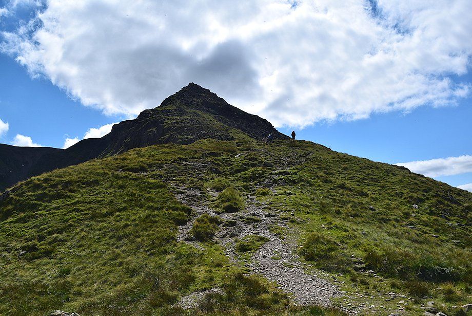 |
| The start of the climb from Deepdale Hause to the summit of Cofa Pike |
 |
| Deepdale and Greenhow End from the path to Cofa Pike |
 |
| There is a choice of paths up the rocky ridge of Cofa Pike. The easiest one is on the right which the walker is ascending, the more interesting one keeps close to the crest throughout and has fine views down into Cawk Cove |
 |
| Looking down onto Deepdale Hause from near the summit of Cofa Pike |
 |
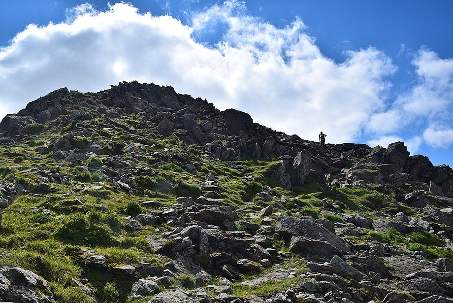
| Approaching the summit of Cofa Pike |
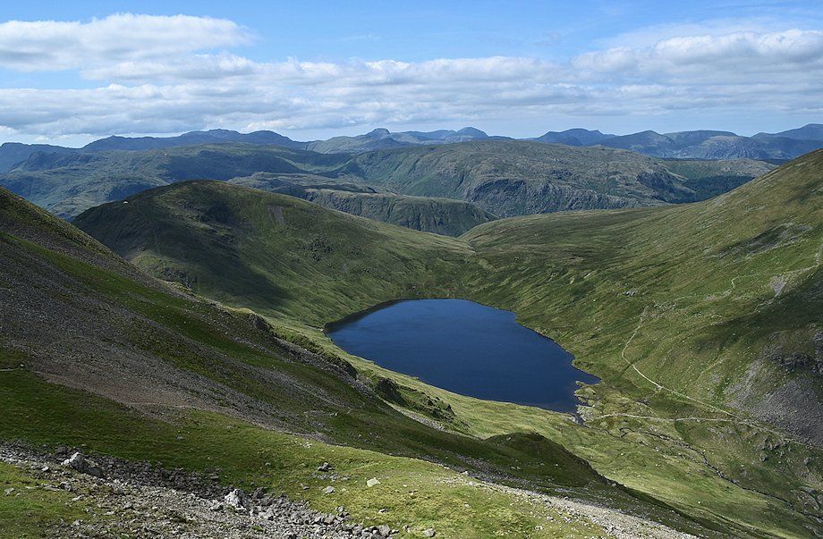 |
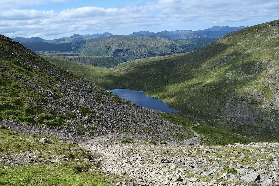
| Grisedale Tarn from the summit of Cofa Pike |
 |
| Dollywaggon Pike, Nethermost Pike and Helvellyn from the summit of Cofa Pike |
 |
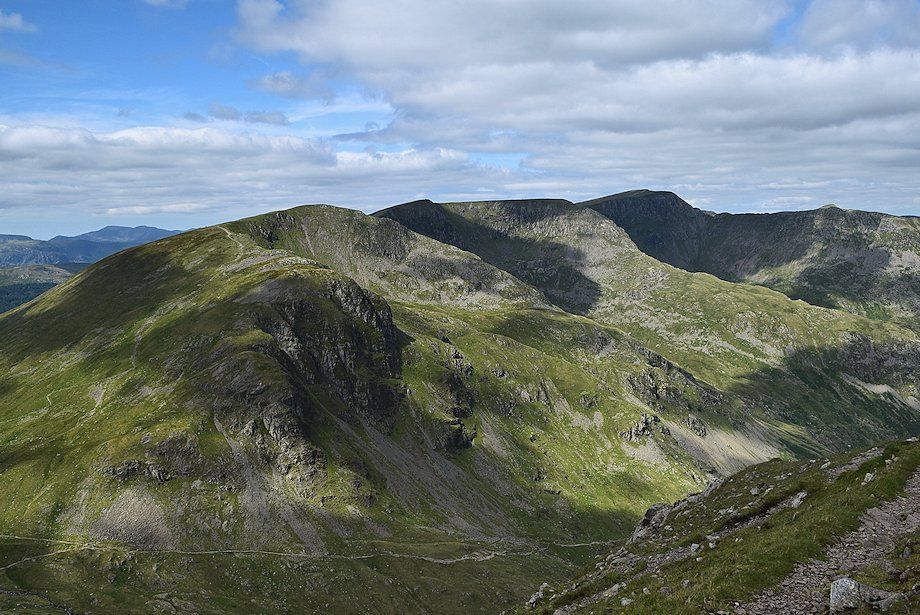
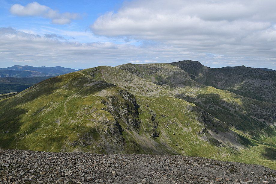
| St. Sunday Crag from the summit of Cofa Pike |
 |
| Deepdale from the summit of Cofa Pike |
 |
| Greenhow End, Hutaple Crag and Black Buttress across Sleet Cove |
 |
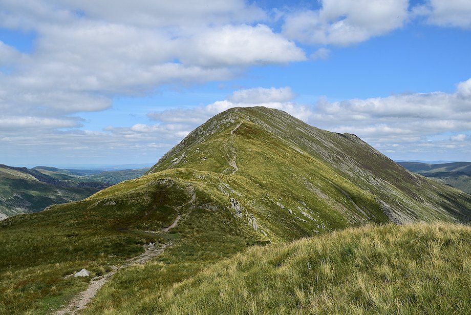
| The continuing path to Fairfield crosses over a minor rock pinnacle which is easily bypassed on the right |
 |
| At the small col on the other side of the pinnacle a rough path leads down to Grisedale Tarn |
 |
| Looking back to Cofa Pike |
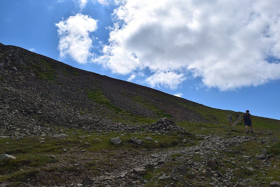 |
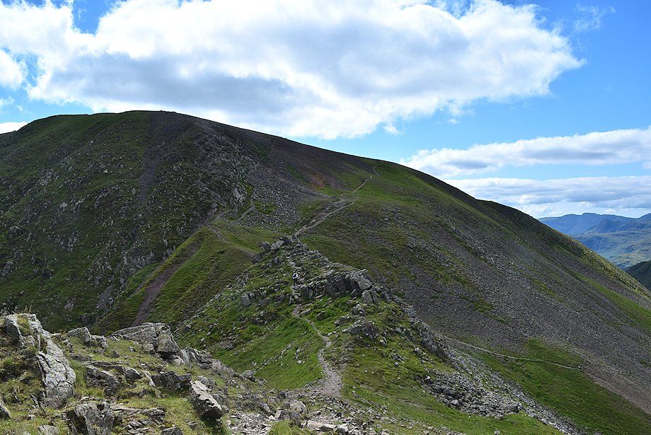
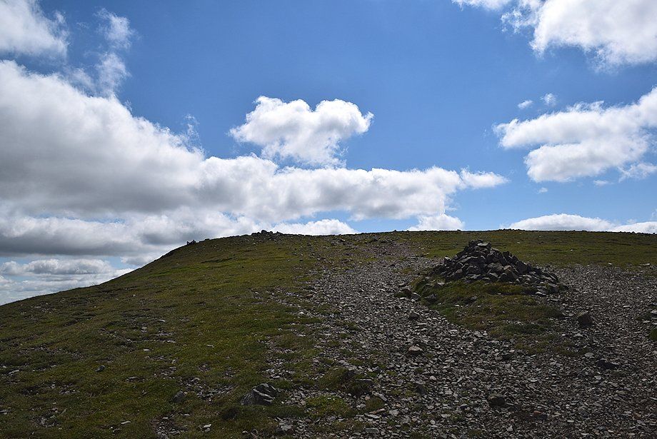
| A marker cairn above the col indicates the start of the most direct path to the summit of Fairfield, which climbs the loose scree slope on the left. The easier path continues straight ahead and eventually joins the path which comes up from Grisedale Hause |
 |
| Dollywaggon Pike, Nethermost Pike and Helvellyn from the top of the scree slope |
 |
| Cofa Pike and St. Sunday Crag from the top of the scree slope |
 |
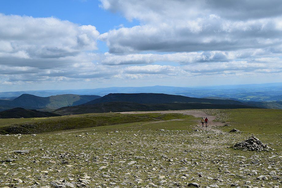
| On reaching a marker cairn the summit of Fairfield comes into view. The cairn helps to locate the direct path to Cofa Pike when descending in poor visibility. Four major routes converge on the summit plateau and it can be a confusing place when shrouded in hill fog |
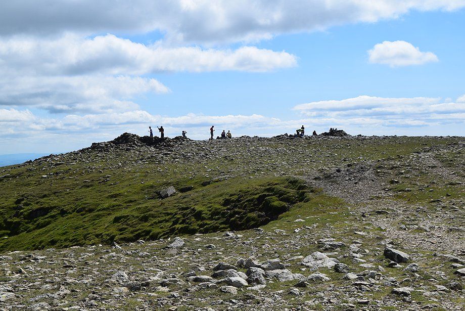 |
| The summit of Fairfield, marked by a trio of cairns, two of them hollowed out as windshelters. The one on the left is generally accepted as the highest point and occupies a fine position above Cawk Cove |
 |
| Dollywaggon Pike, Nethermost Pike and Helvellyn from the summit of Fairfield |
 |
| Cofa Pike and St. Sunday Crag |
 |
| Hutaple Crag and The Step across Cawk Cove |
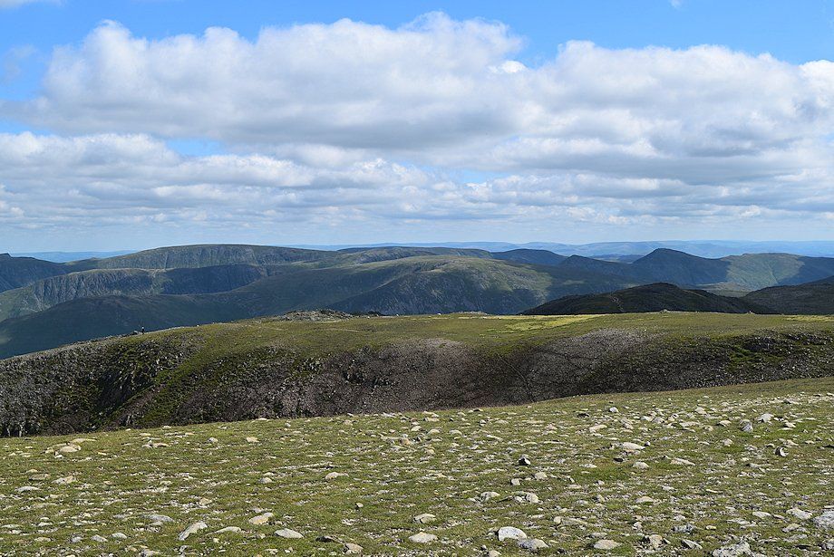 |
| Looking south-east the Far Eastern Fells summits of High Street, Thornthwaite Crag, Kentmere Pike, Froswick, Ill Bell and Yoke are prominent |
 |
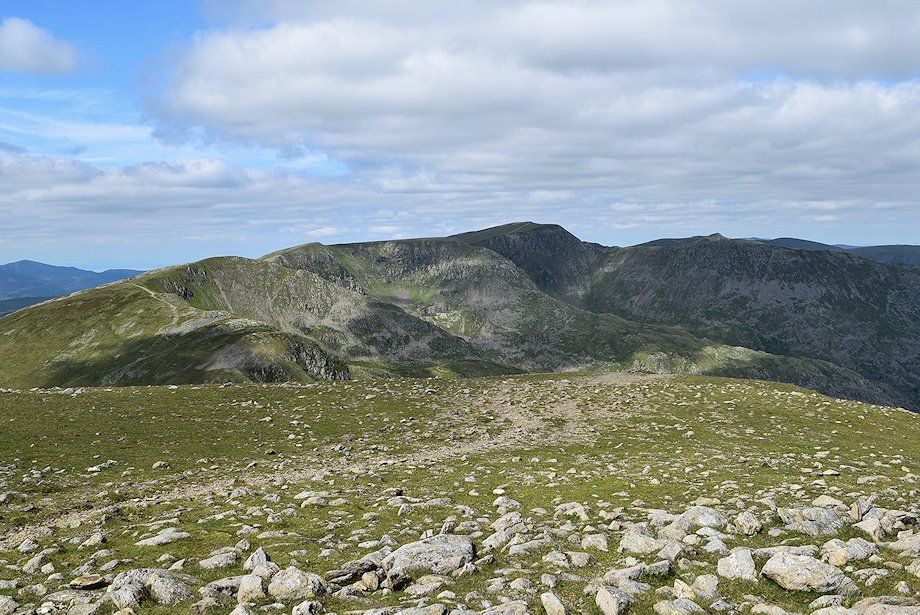
| Looking south-east to Red Screes over Dove Crag in the middle distance. The line of cairns lead towards Hart Crag, its summit can be seen on the left |
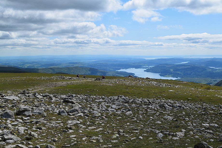 |
| Windermere from the summit of Fairfield |
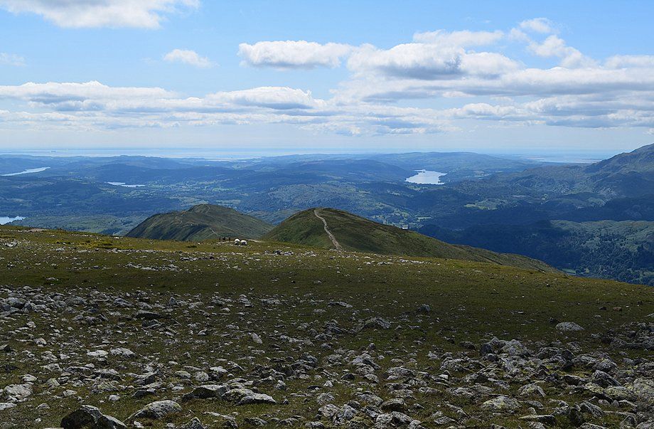 |
| Looking south towards Coniston Water. The summits of Great Rigg and Heron Pike can be seen in the middle distance |
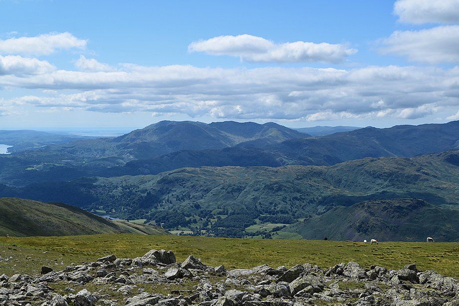 |
| The Coniston Fells from the summit of Fairfield |
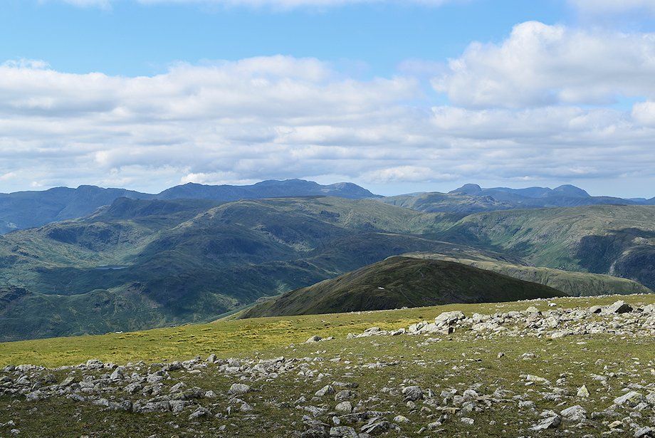 |
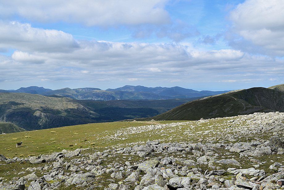
| Crinkle Crags, Bowfell, Esk Pike, Scafell, Scafell Pike, Great End and Pillar on the horizon above the Central Fells in the middle distance |
 |
| The North Western Fells crowd the skyline in the centre with the High Stile group in the Western Fells on the left |
