
| Fairfield - Route Three |
| Start - Bridgend NY 399 144 | Distance - 4.25 miles | Ascent - 2,490 feet | Time - 2 hours : 50 minutes |
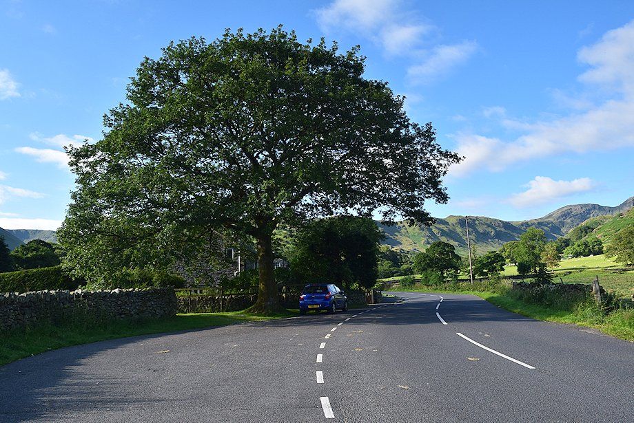 |
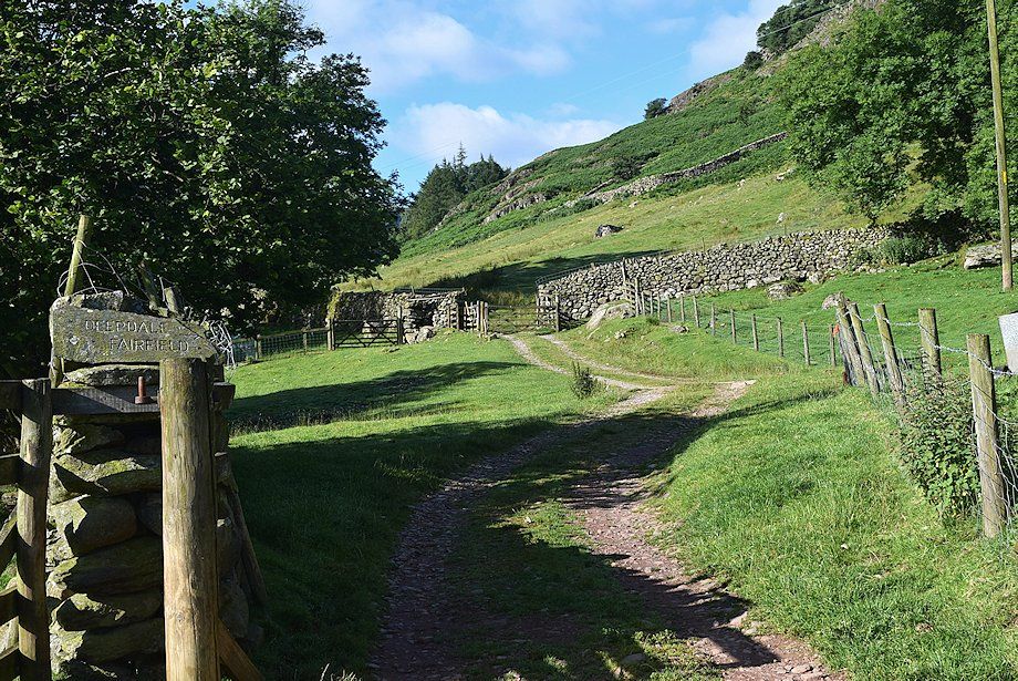
| Bridgend at the start of the walk where there are spaces to park on either side of Deepdale bridge |
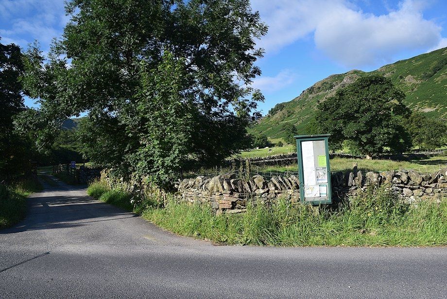 |
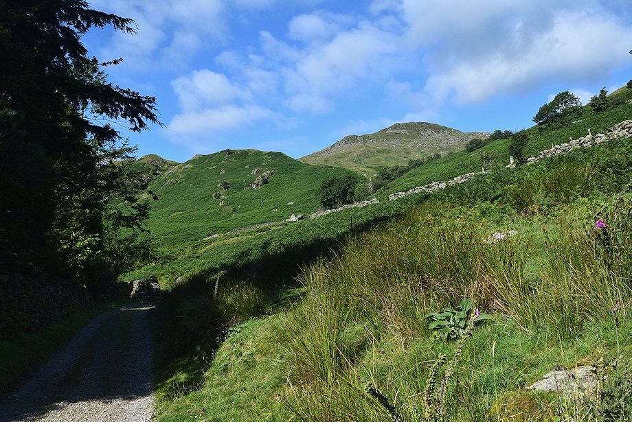
| From the north side of Deepdale Bridge a narrow lane leads up to the cottages of Lane Head |
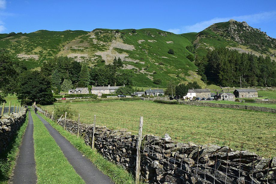 |
| Turn left on reaching the first cottage and pass through a gate onto a rough track which leads on above the farms of Deepdale Hall and Wall End |
 |
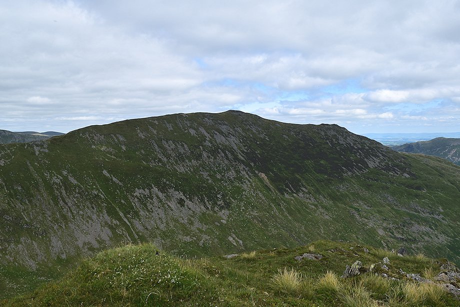
| The Hartsop-above-How ridge from the approach to Deepdale Hall |
 |
| Looking across to Gray Crag and Thornthwaite Crag above the trees with the summit of Hartsop Dodd on the right above Deepdale Park |
 |
| The track is clearly signed for Deepdale and Fairfield as it passes through the gates above Deepdale Hall |
 |
| The track continues on from Deepdale Hall towards Wall End Farm |
 |
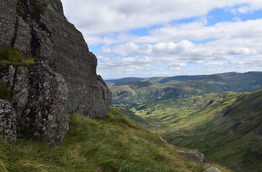
| Looking back towards Place Fell and Boredale Hause from the track to Wall End |
 |
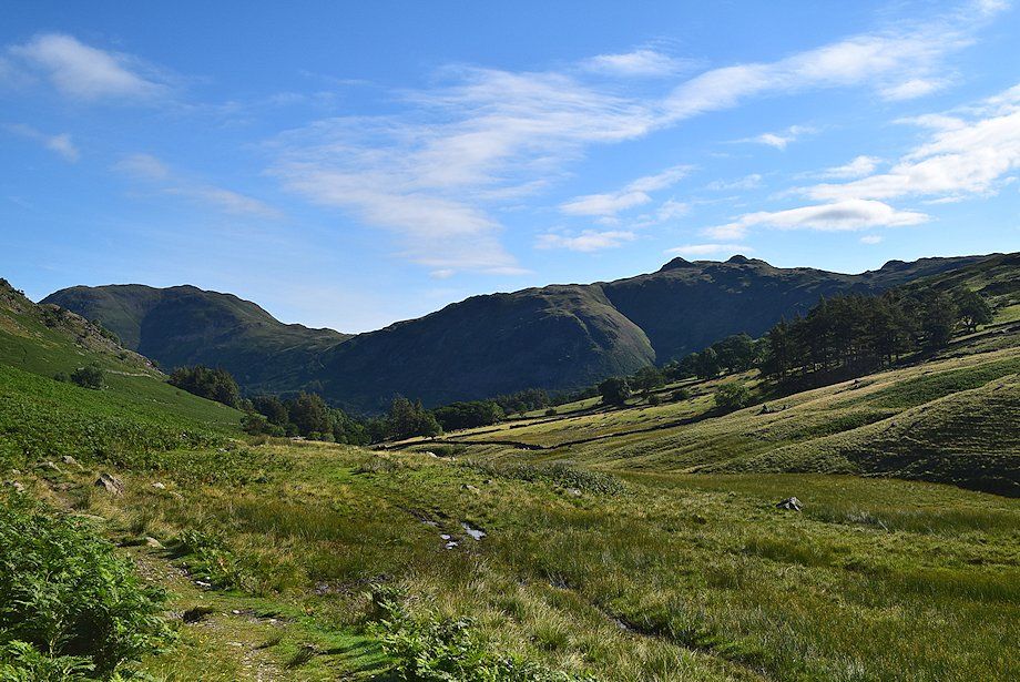
| The east ridge of St. Sunday Crag comes into view as the track passes above Wall End Farm |
 |
| Beyond Wall End Farm the track comes to an end at a simple clapper bridge over Coldcove Gill |
 |
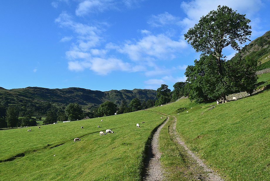
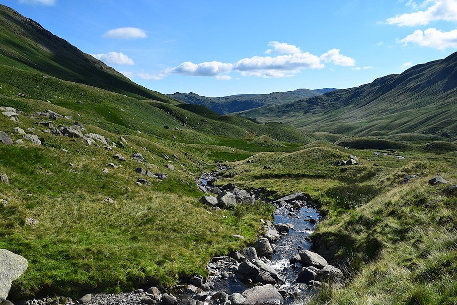
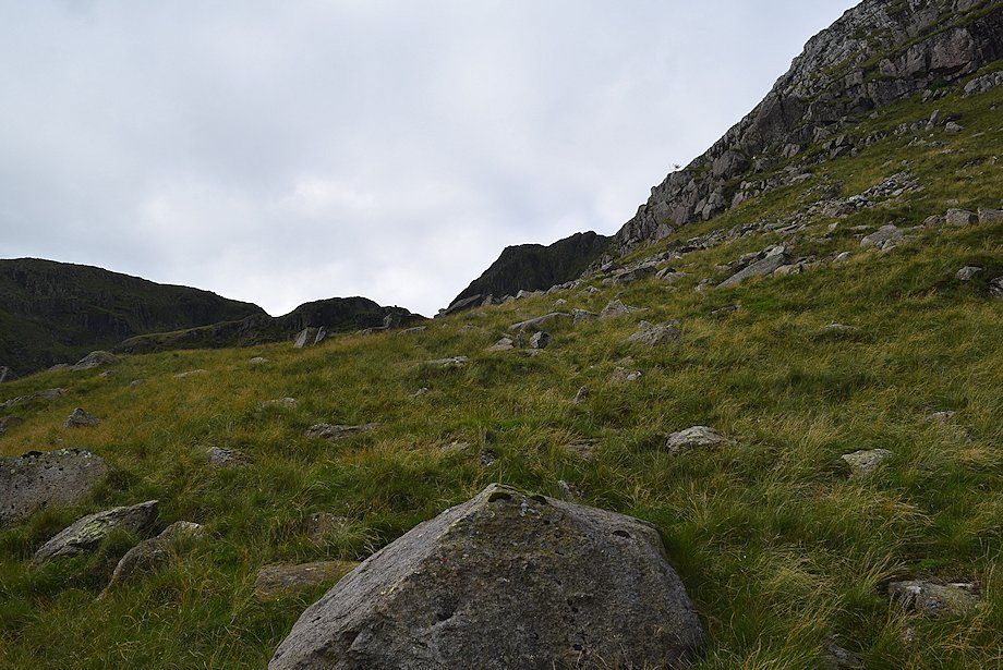
| A fair path continues on from Coldcove Bridge but it does become indistinct in parts as it advances into the wild upper reaches of Deepdale |
 |
| Looking back towards Place Fell and Angletarn Pikes |
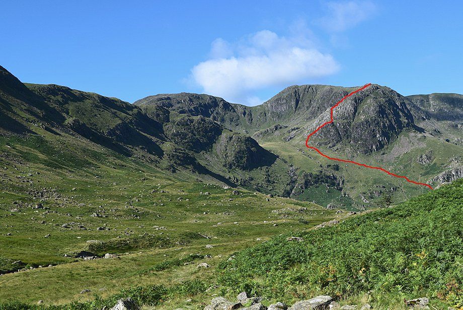 |
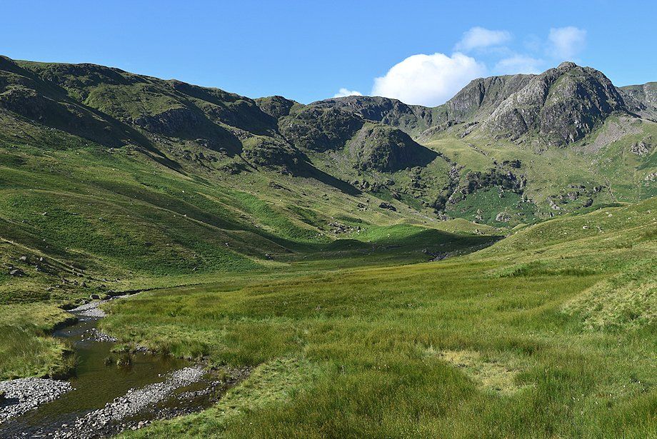
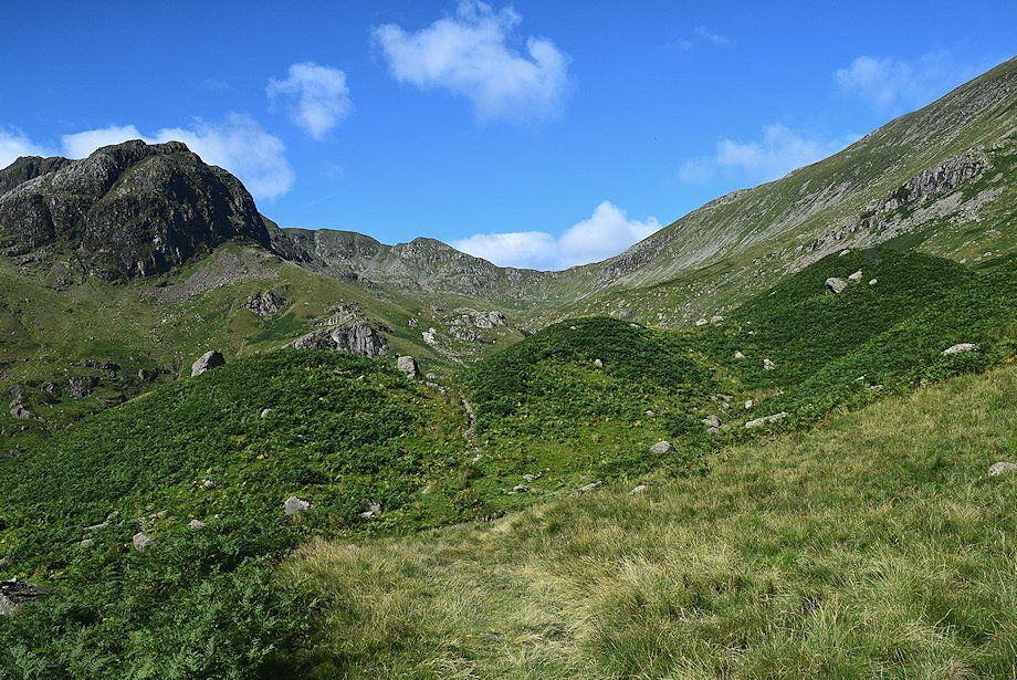
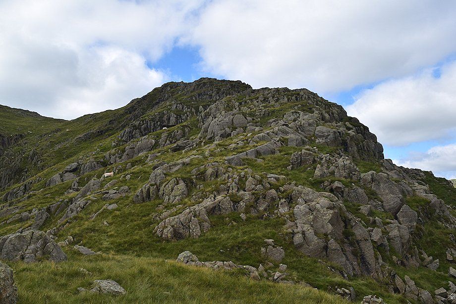
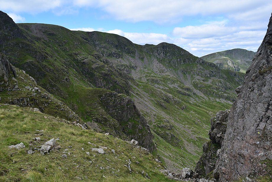
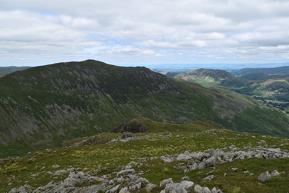
| Hart Crag, Scrubby Crag, Greenhow End and Fairfield come into view. The red line indicates the line of ascent to reach the top of Greenhow End and The Step |
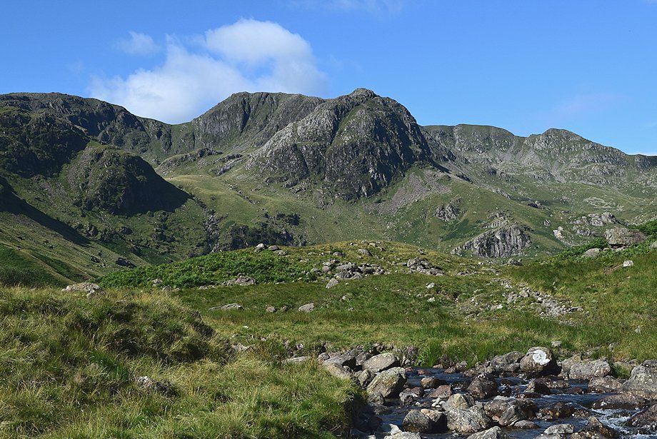 |
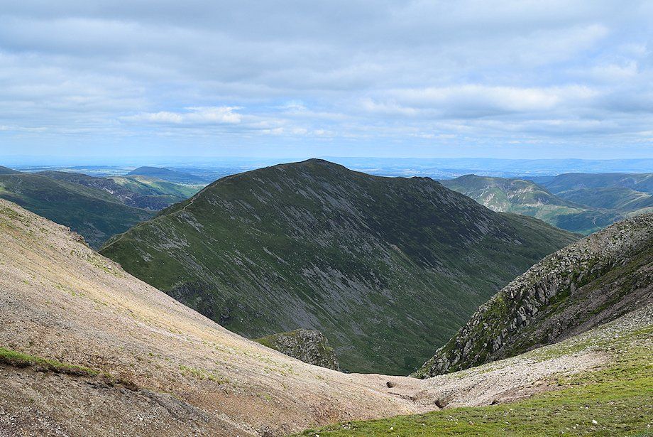
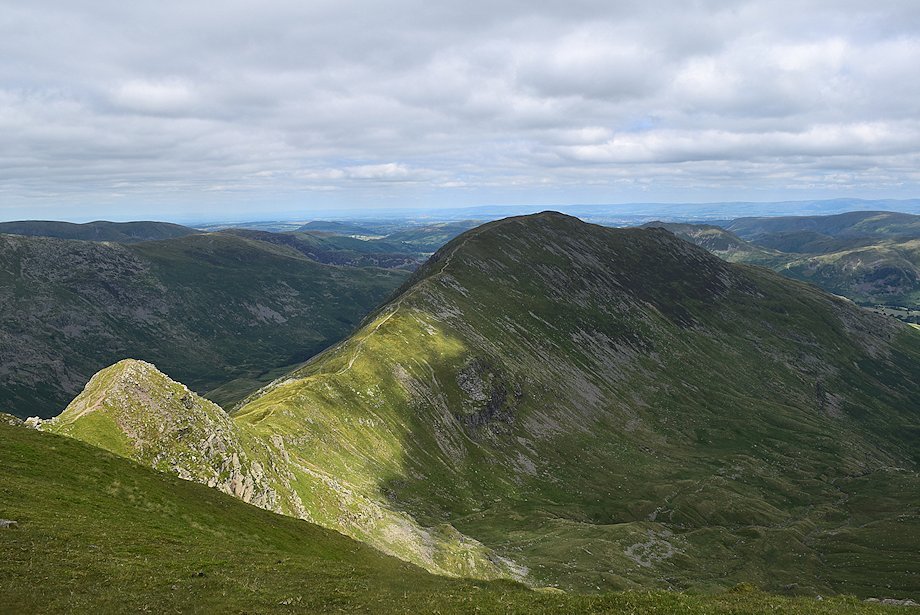
| Erne Nest Crag, Hart Crag, Scrubby Crag and Greenhow End enclosing Link Cove on the left with the summit of Fairfield and Cofa Pike on the right |
 |
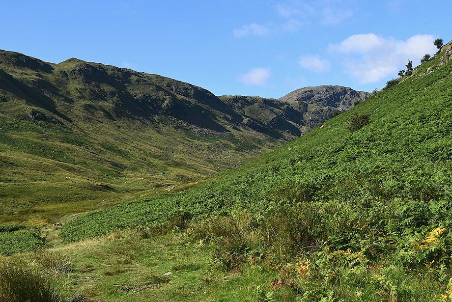
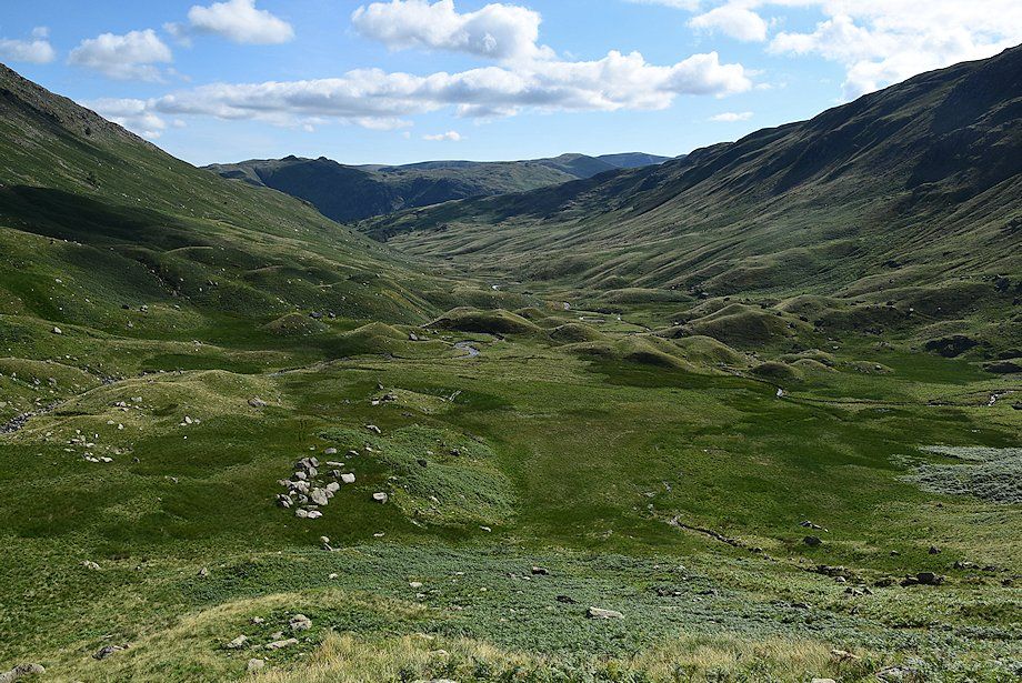
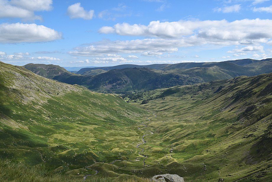
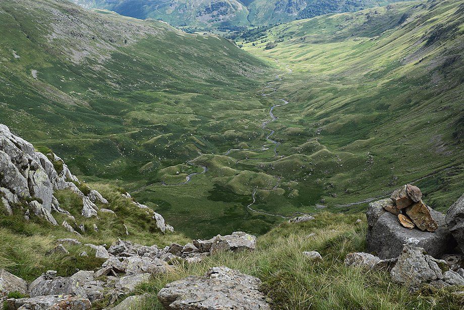
| The path moves away from the course of Deepdale Beck, avoiding the wet hollow of Mossydale by threading its way over and around the moraines which almost encircle it |
 |
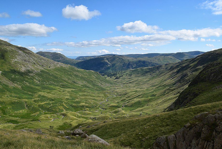
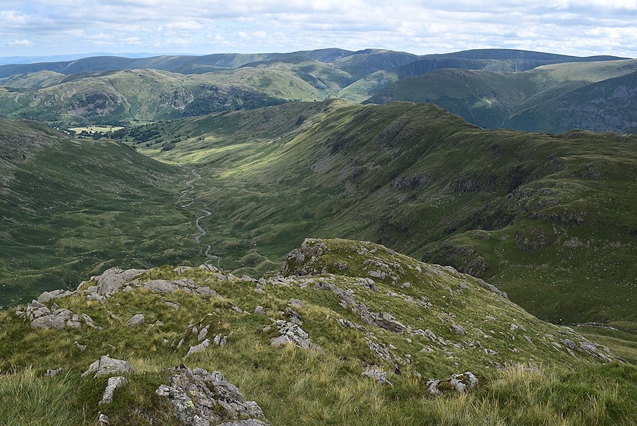
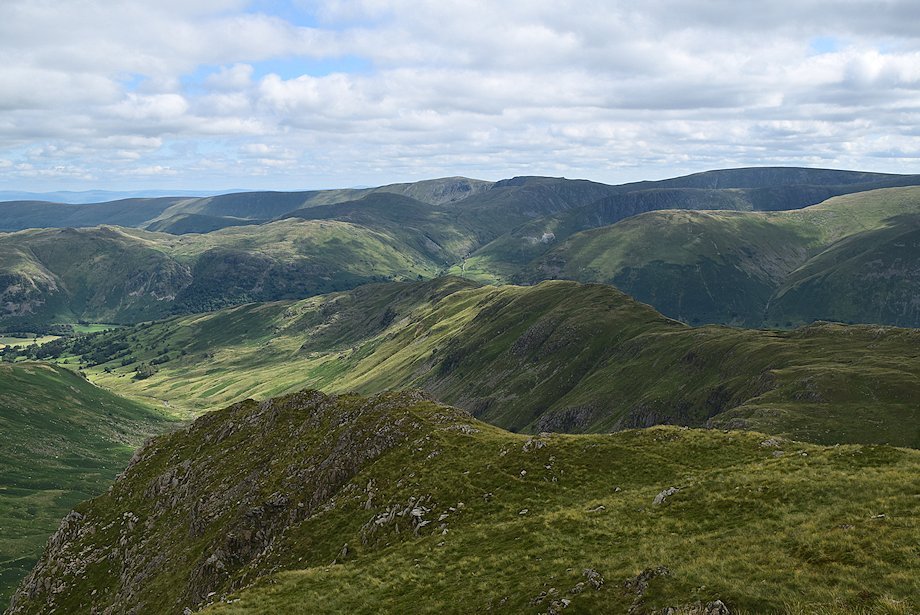
| Looking back along the lower reaches of Deepdale from the top of the first moraine |
 |
| The path passes between the left hand pair of three prominent moraines which are noted in the second revision of the Wainwright Guides |
 |
| There is a small tarn behind the moraines which sometimes completely dries out in summer |
 |
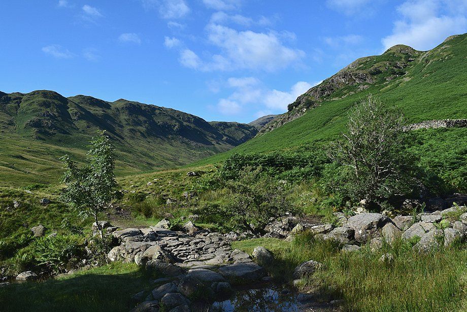
| The main path continues on towards the head of the valley. Shortly after passing the tarn leave it and descend to make a crossing of Deepdale Beck |
 |
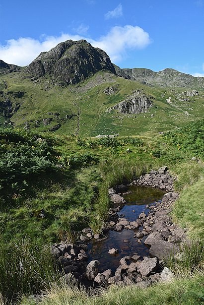
| There is no footbridge over Deepdale Beck but there is usually no difficulty in finding a suitable crossing point below the waterfalls |
 |
| Looking back from the crossing point over Deepdale Beck |
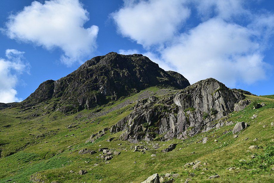 |
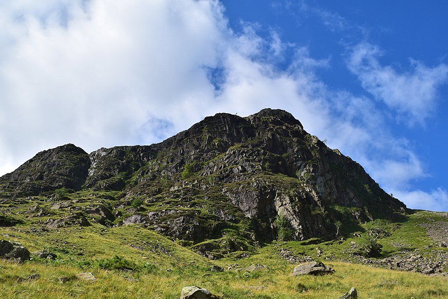
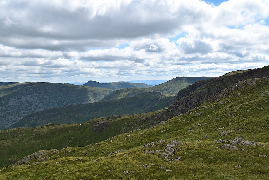
| Greenhow End and Mart Crag from the crossing point over Deepdale Beck |
 |
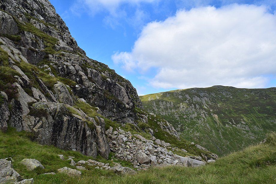
| The route make a rising traverse below Mart Crag and Greenhow End to reach the lip of Link Cove, there is no path over this section |
 |
| Passing below Mart Crag |
 |
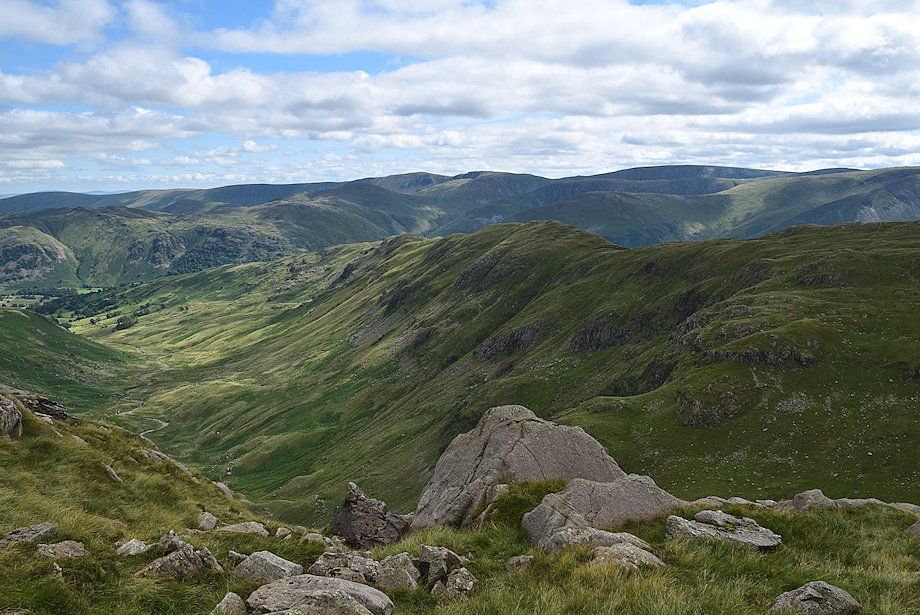
| Lower Deepdale From the base of Mart Crag |
 |
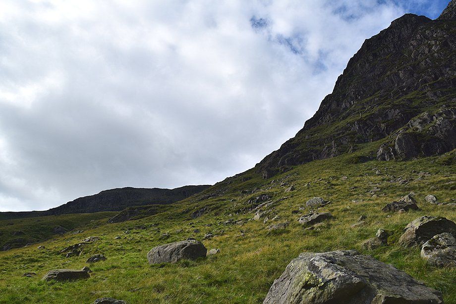
| Passing below the crags of Greenhow End |
 |
| Halfway along the rising traverse the summit ridge of Hart Crag comes into view above Link Cove |
 |
| Looking back across the crags of Greenhow End |
 |
| Approaching the lip of Link Cove the top of Scrubby Crag comes into view |
 |
| Lower Deepdale from the west gill of Link Cove |
 |
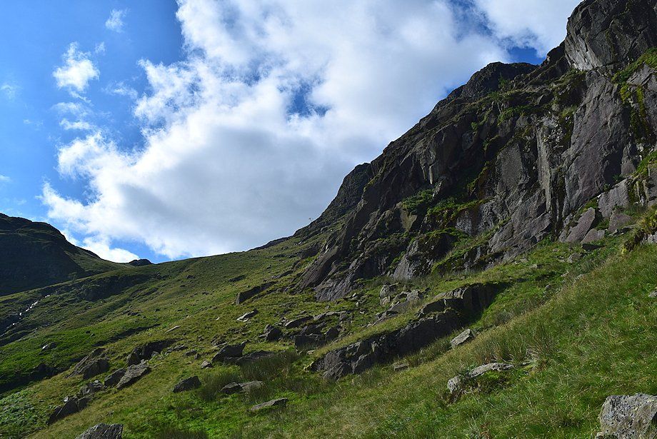
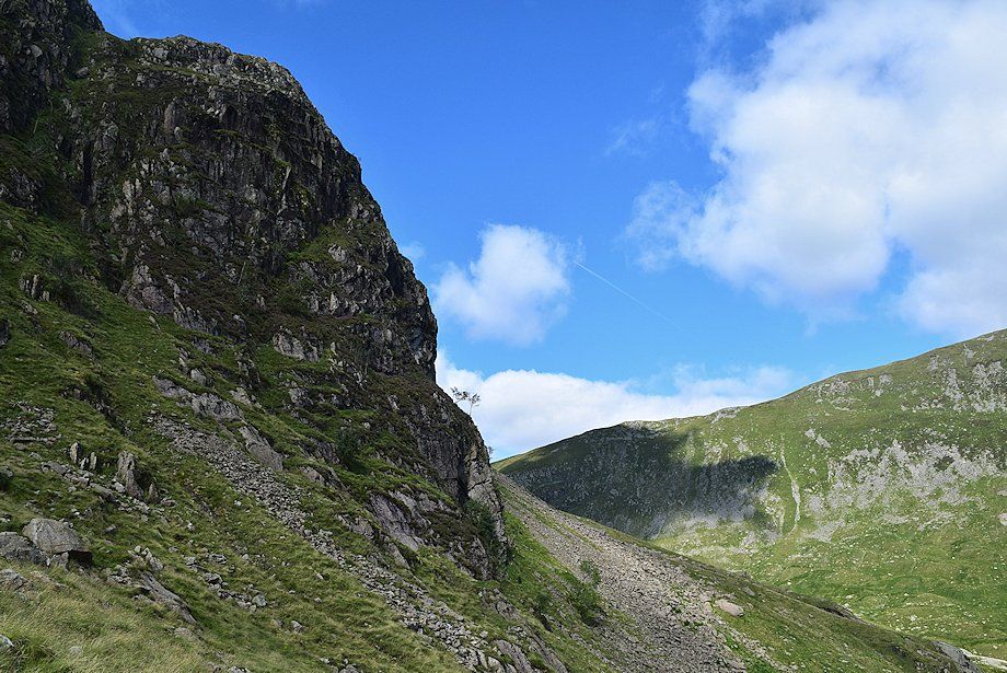
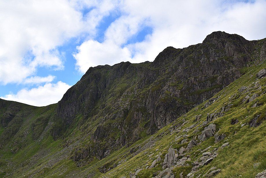
| The route continues alongside the west gill of Link Cove before curving around the base of the southern buttress of Greenhow End, seen here on the right |
 |
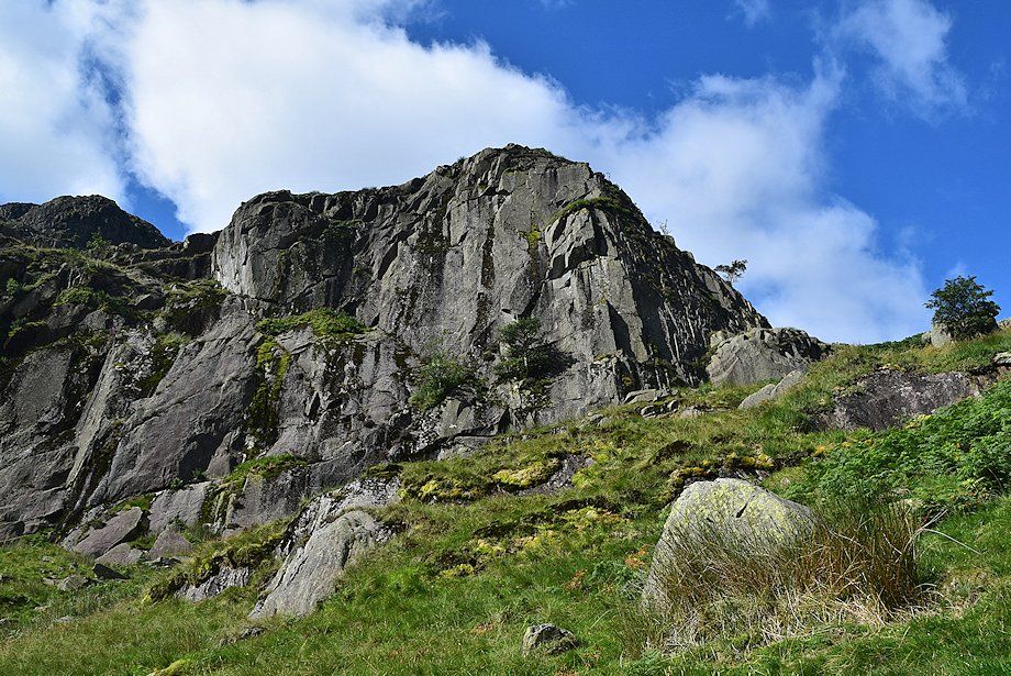
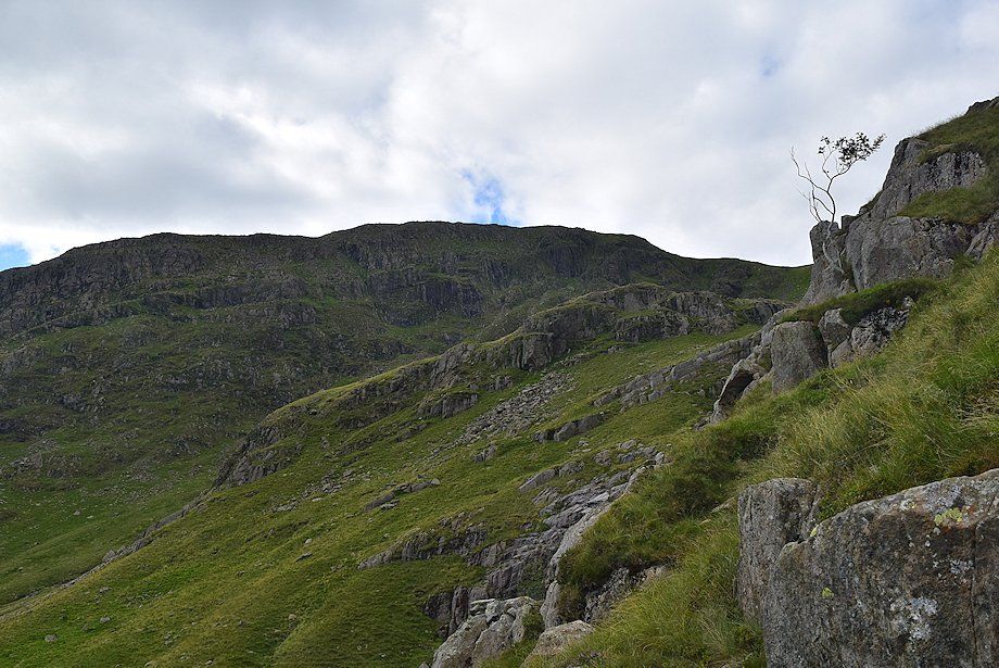
| A grass rake splits the buttress and provides the start of a walkers route to the top Greenhow End, there is a marker cairn near its foot. There are a couple of more adventurous ways to reach the top of the crag, for competent rock scramblers only, The Light Slabs (grade 2 scramble) to the left of the rake, and The Dark Slabs (grade 3 ) to the right |
 |
| Deepdale across The Dark Slabs from the grass rake |
 |
| Looking back towards Hart Crag from the grass rake |
 |
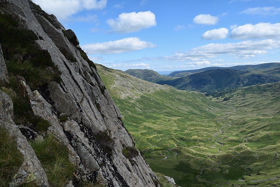
| The rake leads up to a broad grass shelf and a wide view over Deepdale |
 |
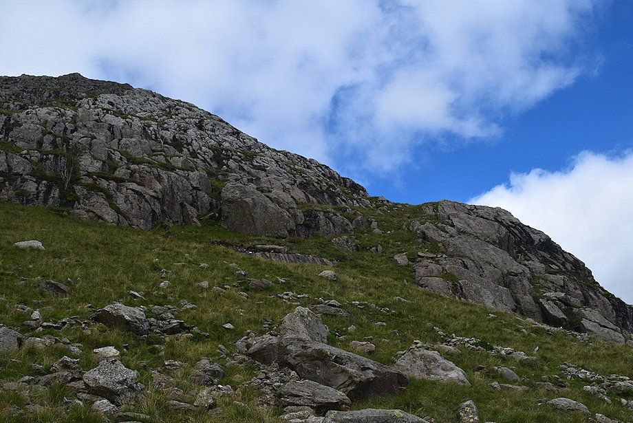
| The steep upper buttress of Greenhow End from the grass shelf. Descend slightly towards a tongue of scree below the buttress |
 |
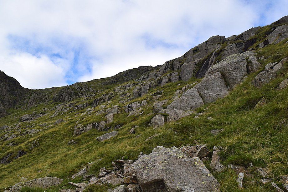
| Looking up from the scree another rake, which is stonier towards its end, climbs to a wide grass ledge |
 |
| A guide cairn marks the top of this rake which helps to locate its position if using it for a descent of Greenhow End |
 |
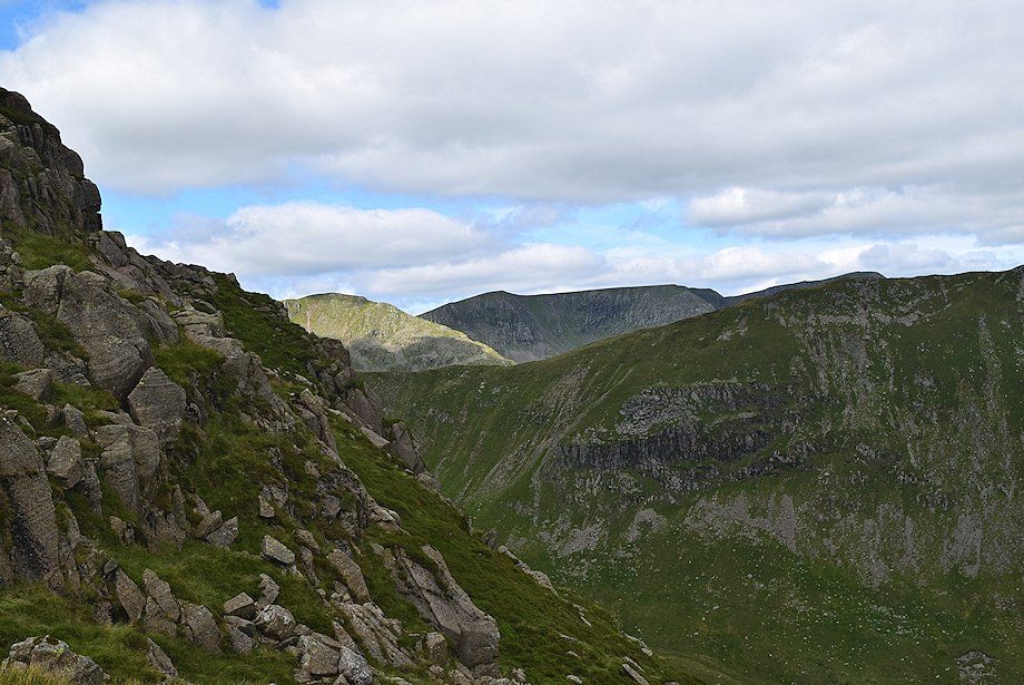
| The Far Eastern Fells over the Hartsop-above-How ridge from the top of the second rake |
 |
| Looking over to Link Hause and Scrubby Crag from the top of the second rake |
 |
| From the top of the second rake it's possible to reach the line of the main ridge by making a rising traverse across the south eastern slopes of Greenhow End and The Step, but it is steeper than it appears. It's much more preferable to turn sharply right and continue the climb to the top of Greenhow End |
 |
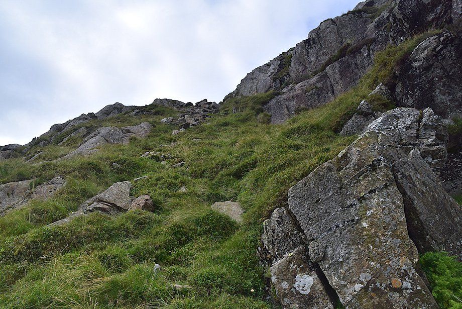
| The route threads its way around the rock steps on the southern flank of Greenhow End |
 |
| Dollywaggon Pike and Nethermost Pike come into view on the climb to the top of Greenhow End |
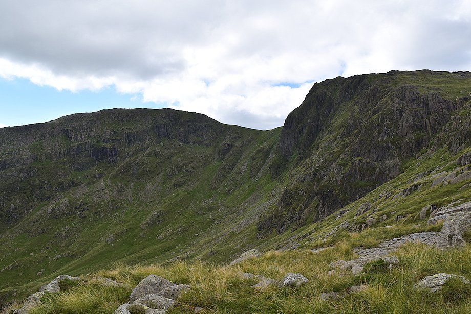 |
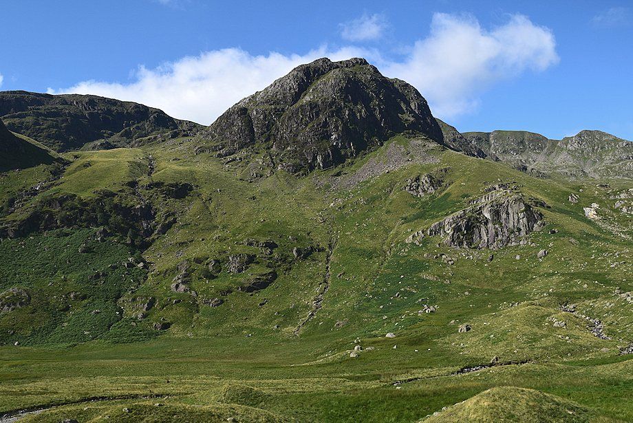
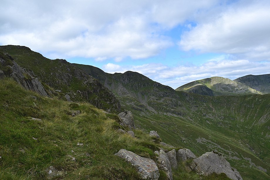
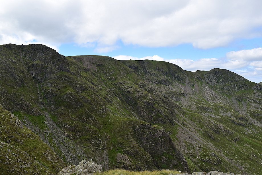
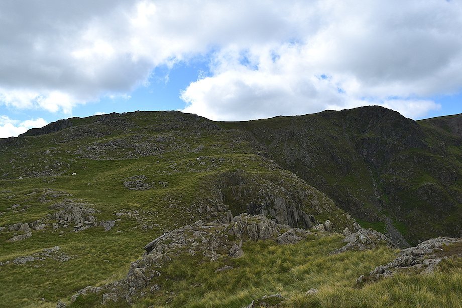
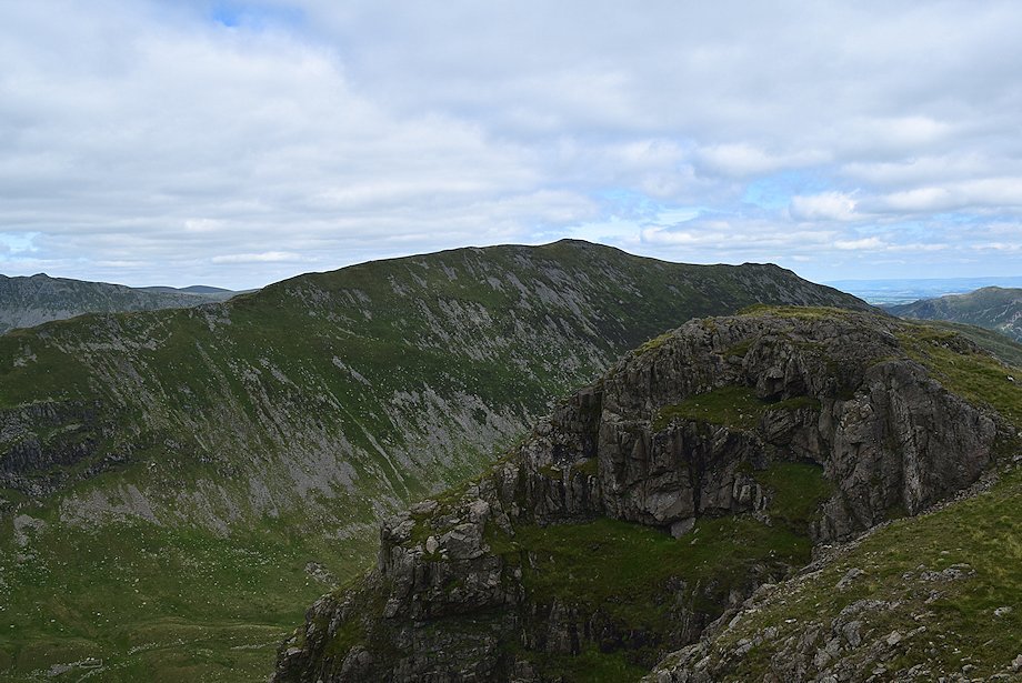
| Hart Crag and Scrubby Crag from the top of Greenhow End |
 |
| Looking south-east from the top of Greenhow End towards Caudale Moor, Ill Bell, Yoke, Red Screes and Dove Crag |
 |
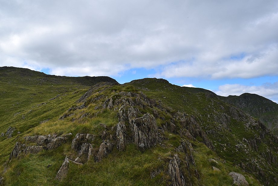
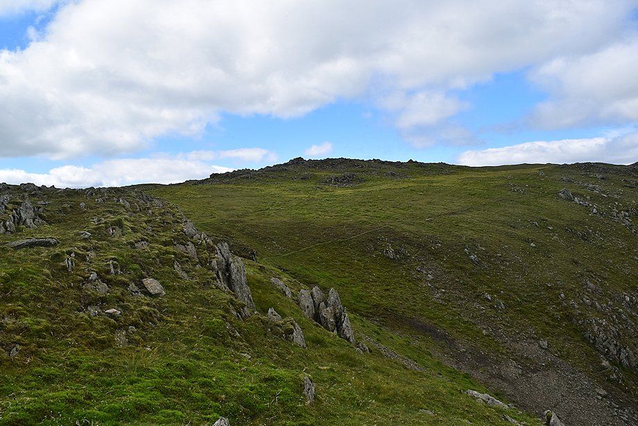
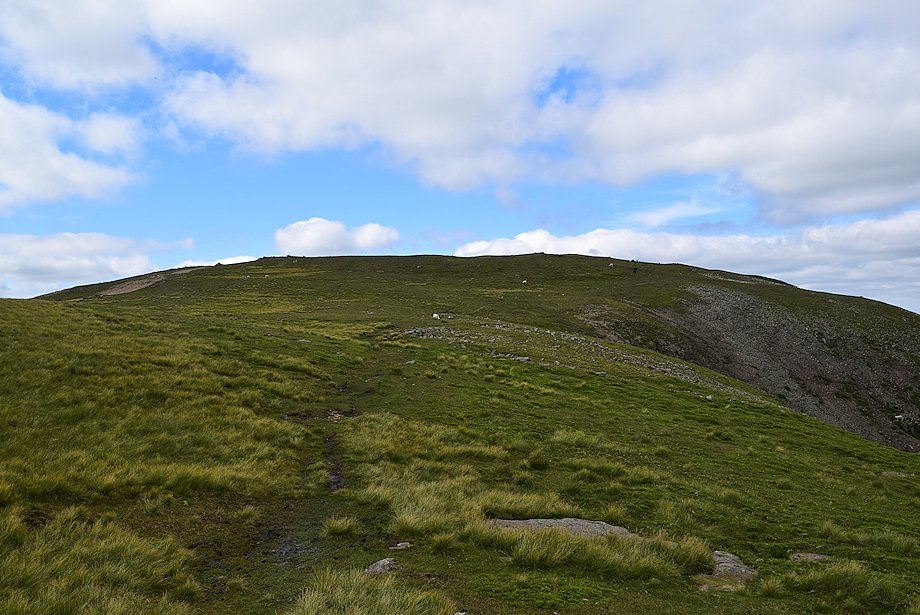
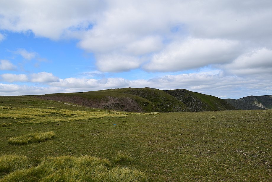
| From the top of Greenhow End a thin path leads over the rocky ridge to The Step |
 |
| Cofa Pike and Dollywaggon Pike across the head of Deepdale from the path to The Step |
 |
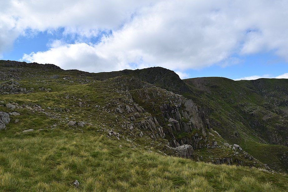
| Looking back to the top of Greenhow End |
 |
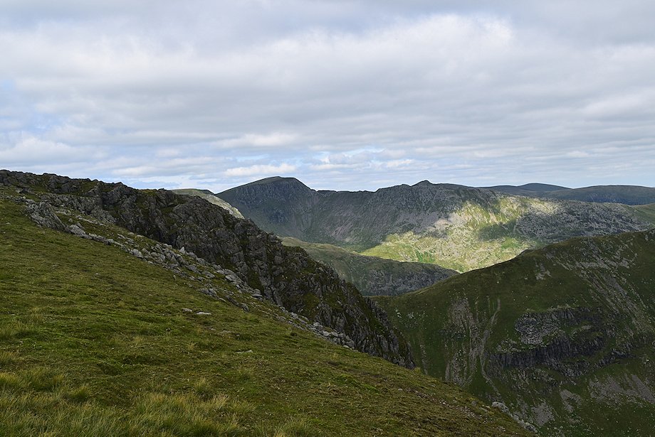
| The Step, the summit of Fairfield and Cofa Pike |
 |
| The approach to The Step along the narrowest part of the ridge |
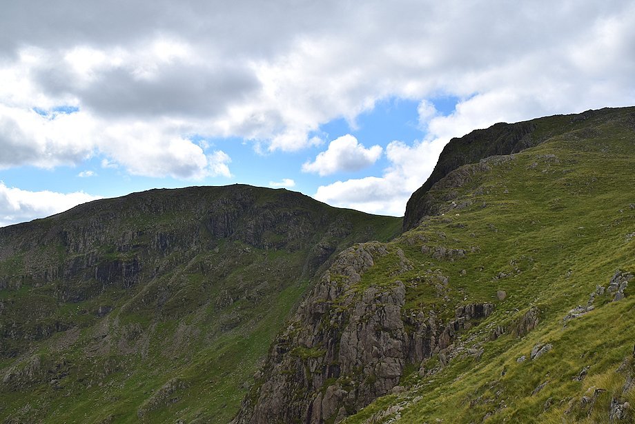 |
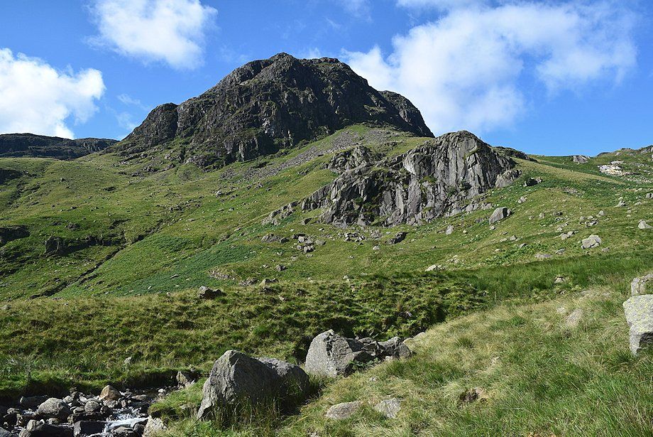
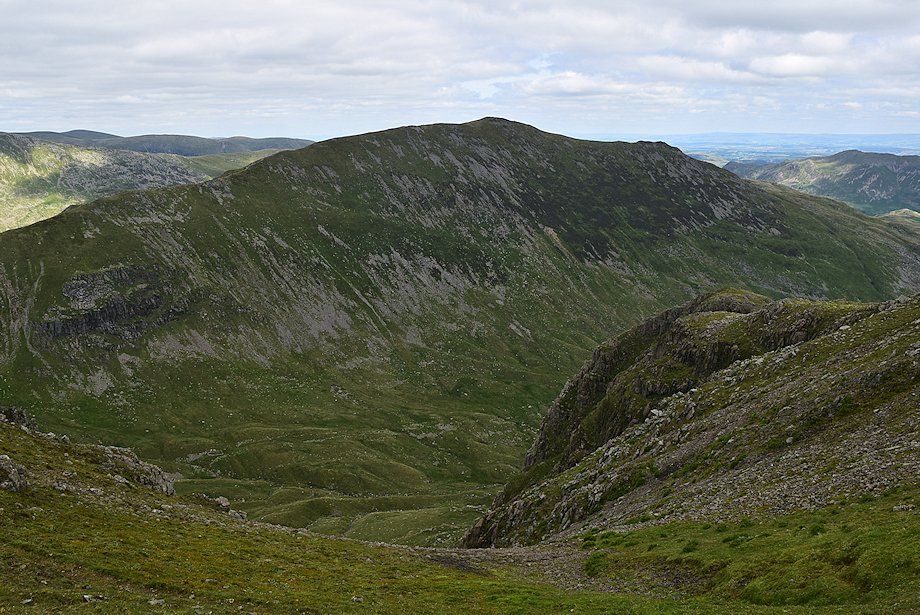
| Hart Crag and Scrubby Crag from The Step |
 |
| The summit ridge of Fairfield across Cawk Cove from The Step |
 |
| The Helvellyn ridge over Deepdale Hause from The Step |
 |
| St. Sunday Crag from The Step |
 |
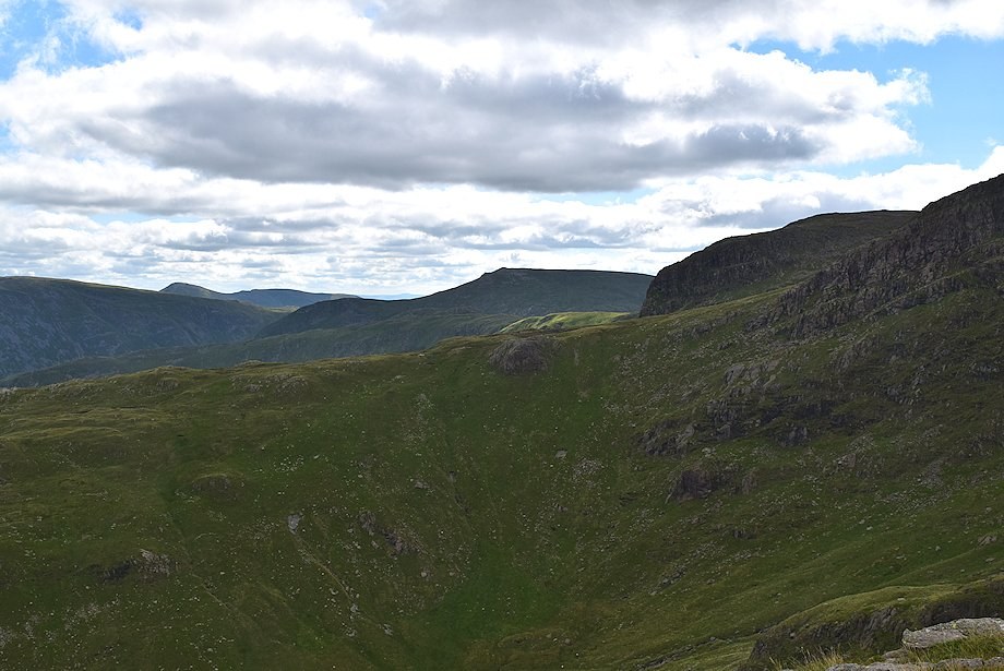
| Looking east from The Step to the Far Eastern Fells |
 |
| Looking south-east from The Step to Caudale Moor, Ill Bell, Yoke, Red Screes and Dove Crag |
 |
| The way ahead from The Step follows a faint path along the edge of Cawk Cove |
 |
| Fairfield, Cofa Pike and Dollywaggon Pike across Cawk Cove |
 |
| St. Sunday Crag across The Step |
 |
| Climbing along the edge of Cawk Cove |
 |
| Dollywaggon Pike, Nethermost Pike and Helvellyn across the upper buttress of Black Crag |
 |
| Looking back over The Step to St. Sunday Crag |
 |
| Approaching the main ridge line between Scrubby Crag and Fairfield |
 |
| St. Sunday Crag from the top of Black Tippet gully |
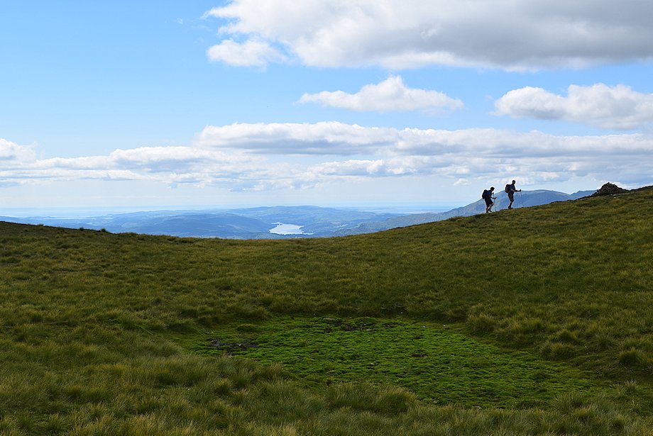 |
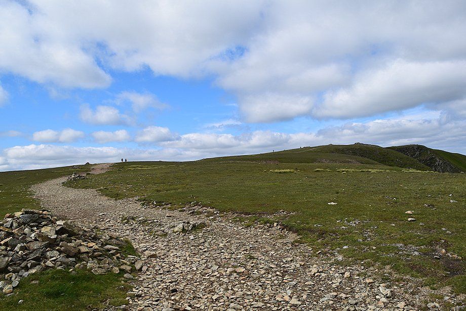
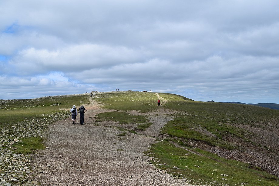
| Coniston Water appears over the top of ridge. The walkers are on the main ridge path which is part of the popular Fairfield Horseshoe |
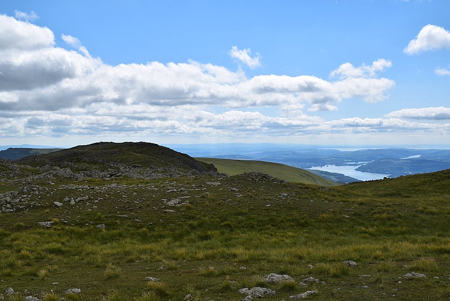 |
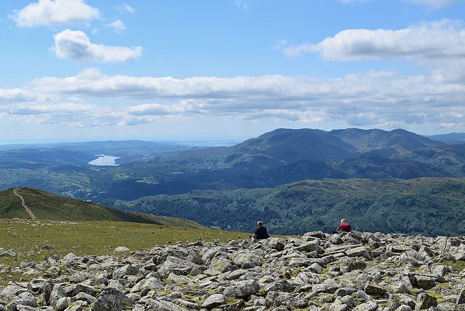
| The summit of Hart Crag and Windermere |
 |
| Instead of joining the main ridge path continue on the path alongside Cawk Cove which passes over a subsidiary top of Fairfield |
 |
| Helvellyn and Striding Edge from the path over the subsidiary top |
 |
| The summit of Fairfield from the subsidiary top, time to join the main ridge path which crosses the head of the intervening Flinty Grave gully |
 |
| The summit of Fairfield from the main ridge path |
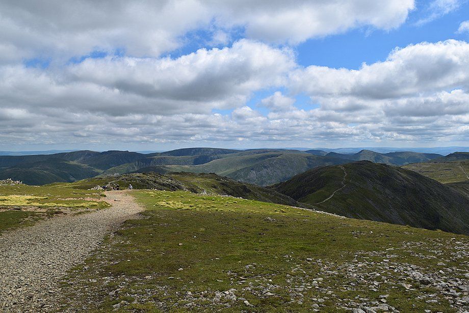 |
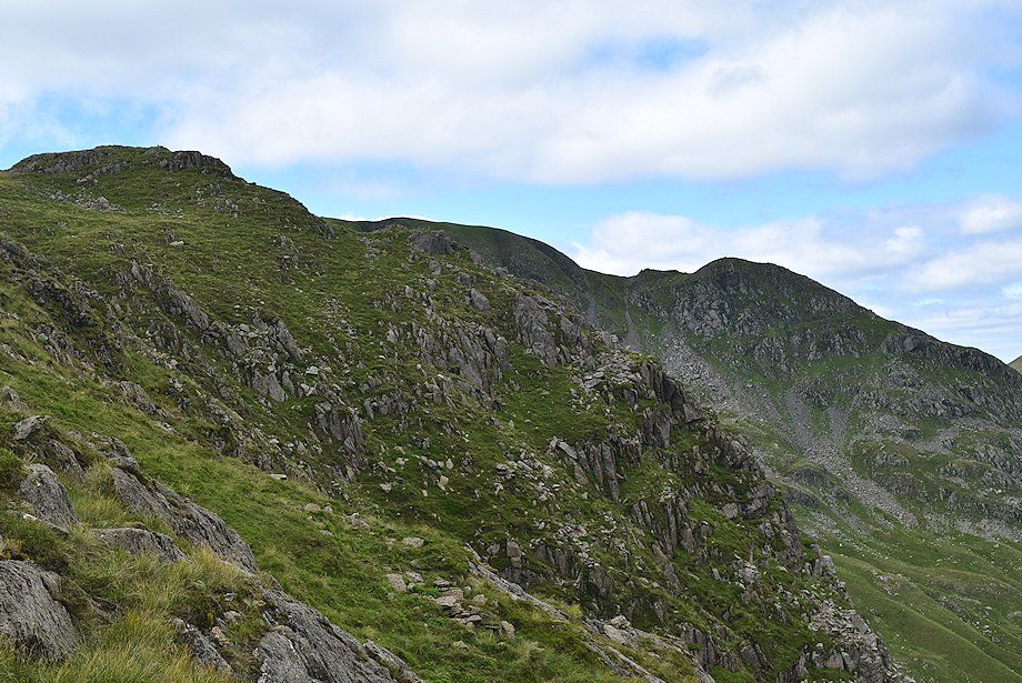
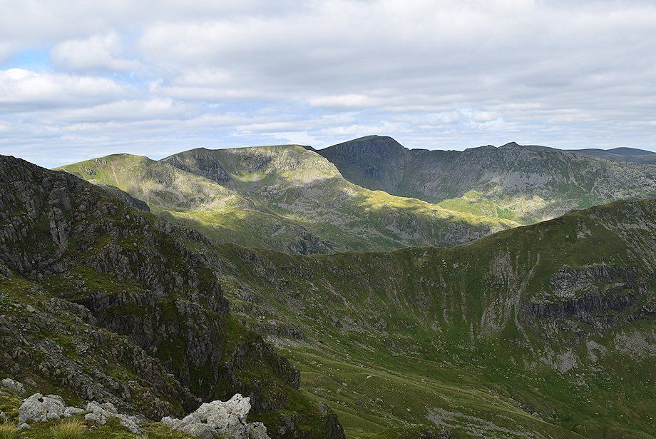
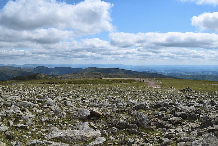
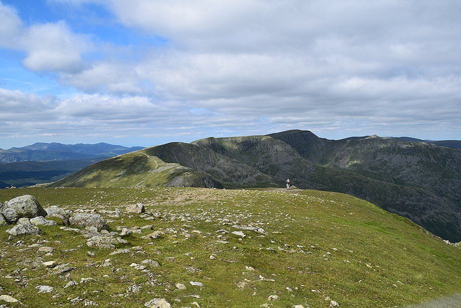
| Looking back along the main ridge path running over Scrubby Crag, Hart Crag and Dove Crag, part of the eastern arm of the Fairfield Horseshoe |
 |
| Looking along the valley of Rydal Beck to Windermere. Coniston Water in the distance on the right between the summits of Heron Pike and Great Rigg which form part of the western arm of the Fairfield Horseshoe |
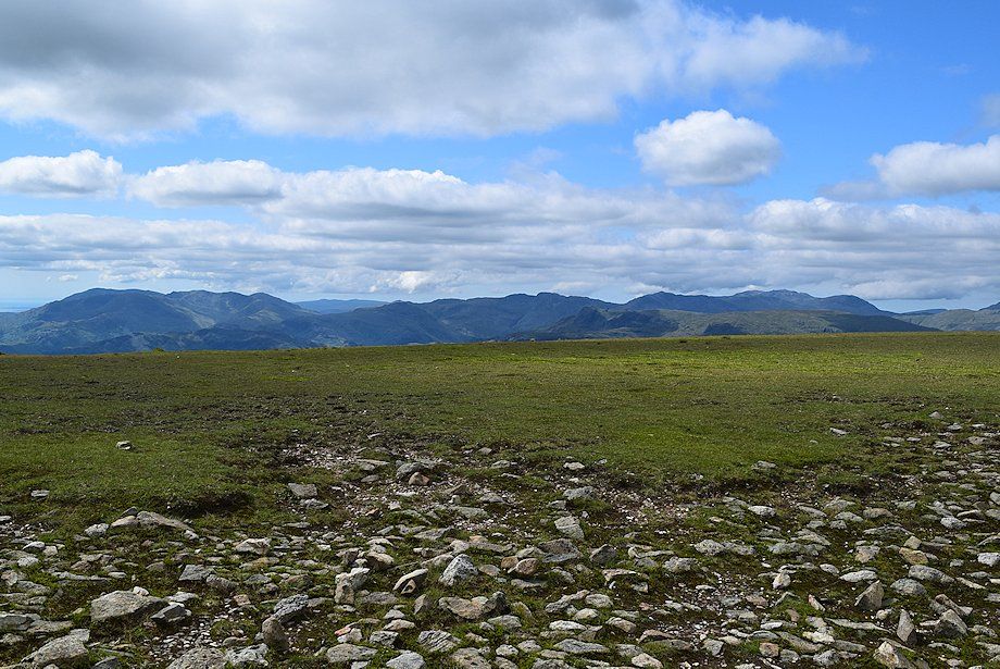 |
| The Coniston Fells on the left, Crinkle Crags in the centre with Bowfell and the Scafell group on the right |
 |
| St. Sunday Crag from the head of Flinty Grave |
 |
| Approaching the summit of Fairfield |
 |
| Looking south-east from the summit of Fairfield, Red Screes in the centre over the summit of Dove Crag with Kentmere Pike, Froswick and Ill Bell on the left over the summit of Hart Crag |
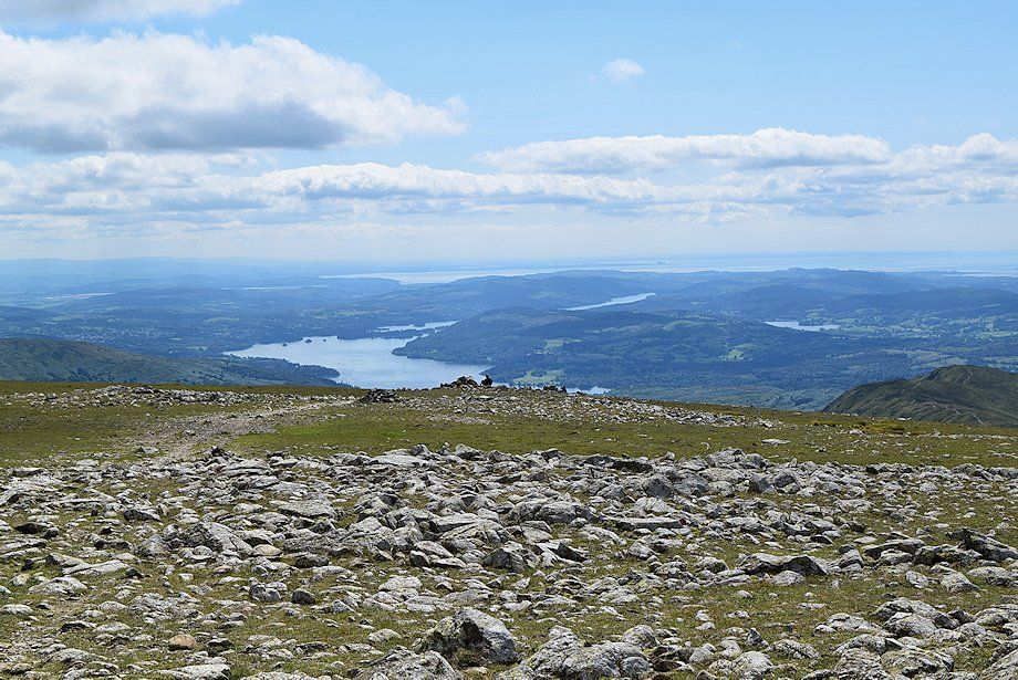 |
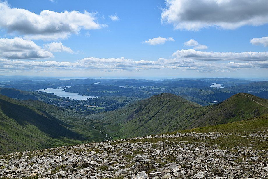
| Windermere and Esthwaite Water from the summit of Fairfield |
 |
| Coniston Water and the Coniston Fells from the summit of Fairfield |
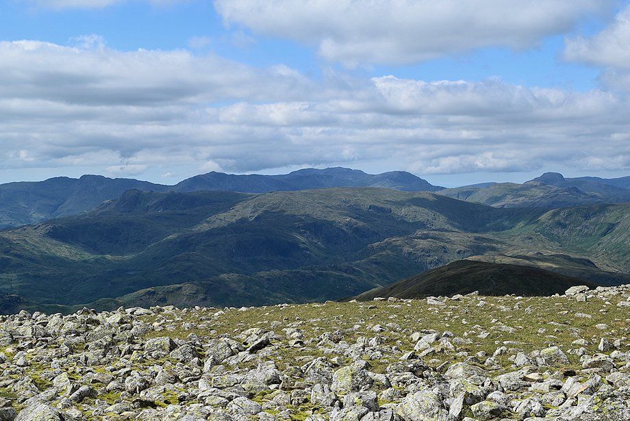 |
| Looking west-southwest, Crinkle Crags, Bowfell, Scafell, Scafell Pike, Great End, Glaramara and Great Gable form the skyline |
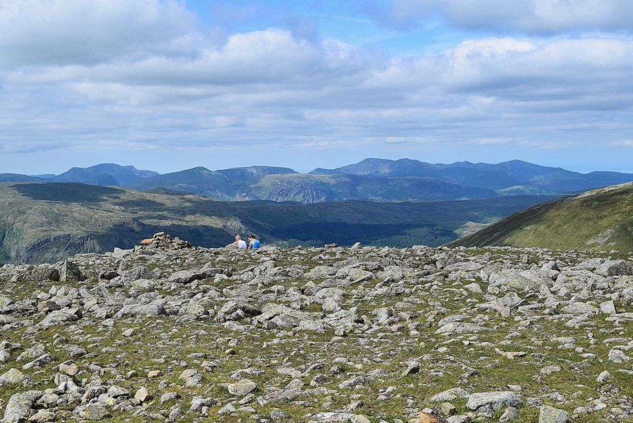 |
| Looking west-northwest, High Crag, High Stile, Red Pike, Dale Head, Hindscarth, Robinson, Whiteless Pike, Grasmoor, Eel Crag, Hopegill Head, Grisedale Pike form the skyline |
 |
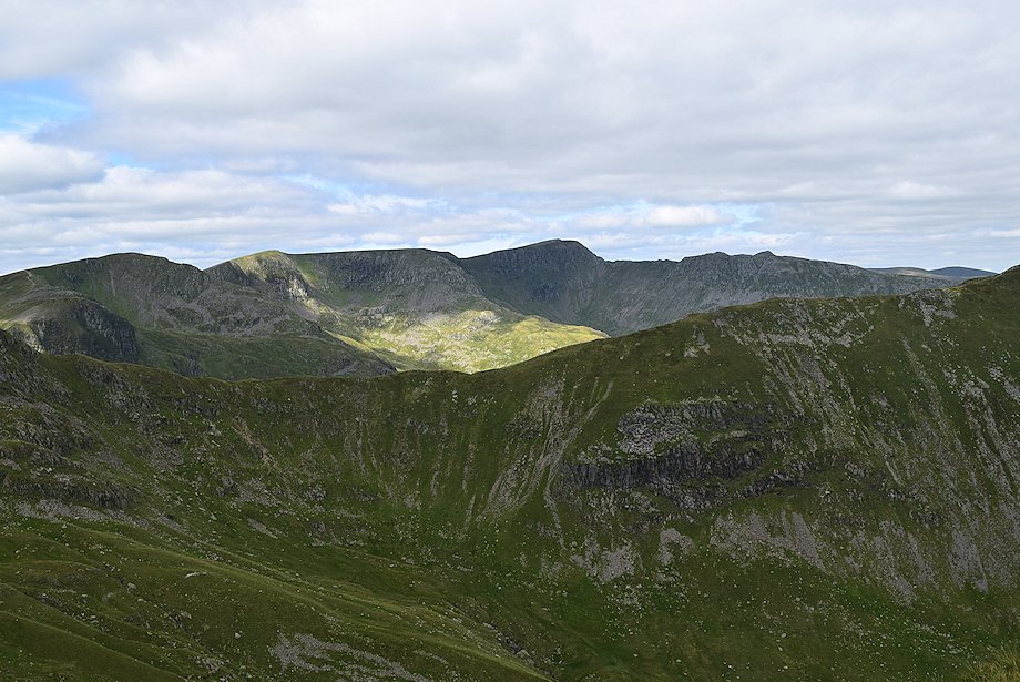
| Dollywaggon Pike, Nethermost Pike and Helvellyn from the summit of Fairfield |
 |
| Cofa Pike and St. Sunday Crag |
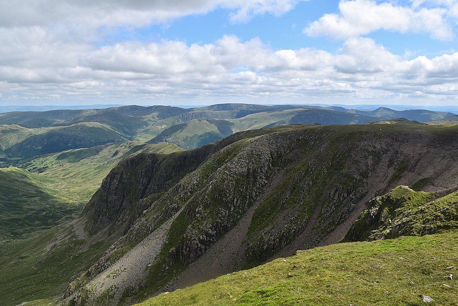 |
| Greenhow End across Cawk Cove |
|