 |
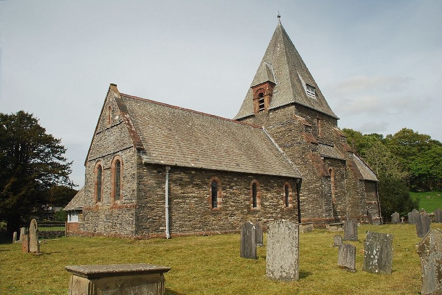
| The church of St. Peter in the village of Finsthwaite is the starting point for this walk |
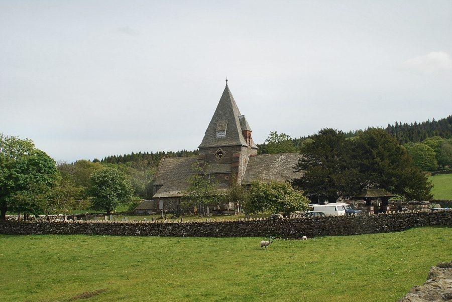 |
| Looking back to the church from the lane leading to the village. There is a small car park beside the lych gate which can be used when there are no services at the church (honesty box set into the wall) |
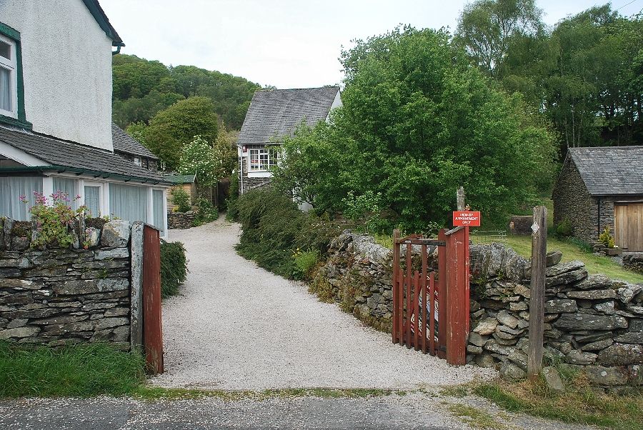 |
| In the village, a fingerpost indicates a public footpath to Rusland which starts along the driveway of Plum Green cottage |
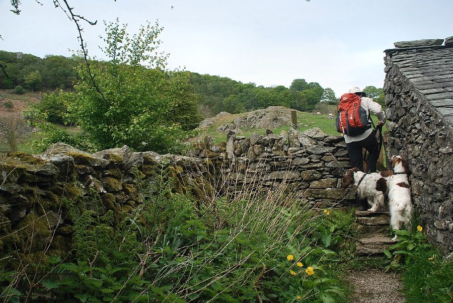 |
| Beyond the drive the path follows a short lane which it exits by a narrow gate into a field |
 |
| Footpath markers direct you across the field towards a stile and gate at its far end |
 |
| Looking across to Gummer's How from the field |
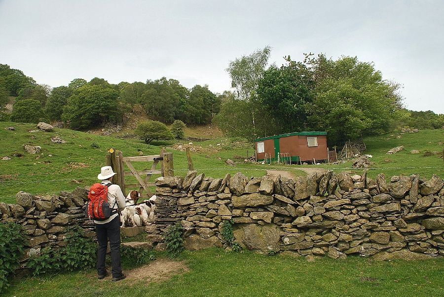 |
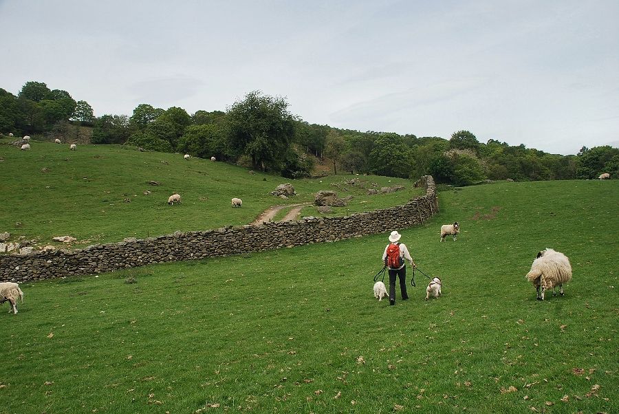
| Exiting the field the path enters what AW described as a "caravan -bespattered field", the way ahead continues to the right of the brown caravan |
 |
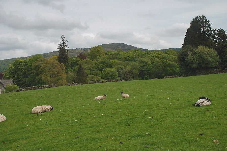
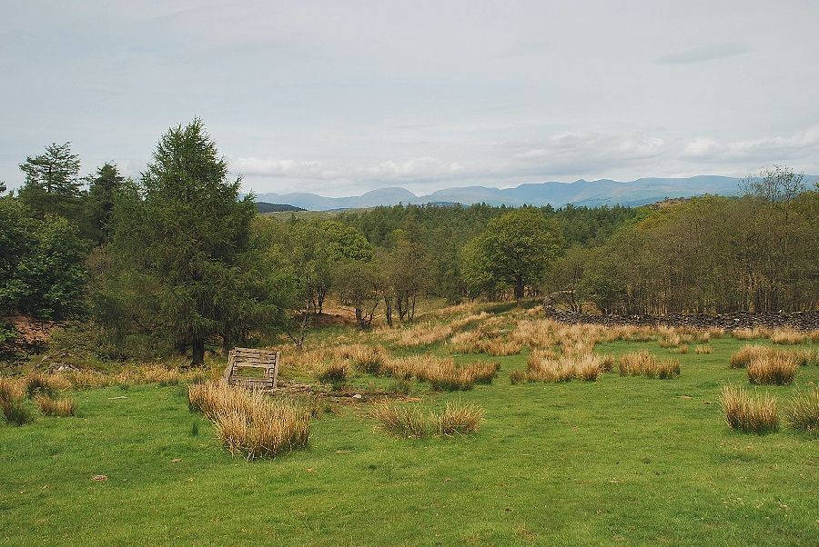
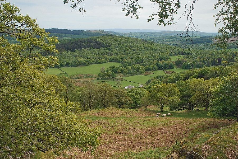
| Looking across to Summer Sides Wood and Finsthwaite Heights |
 |
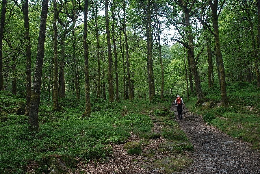
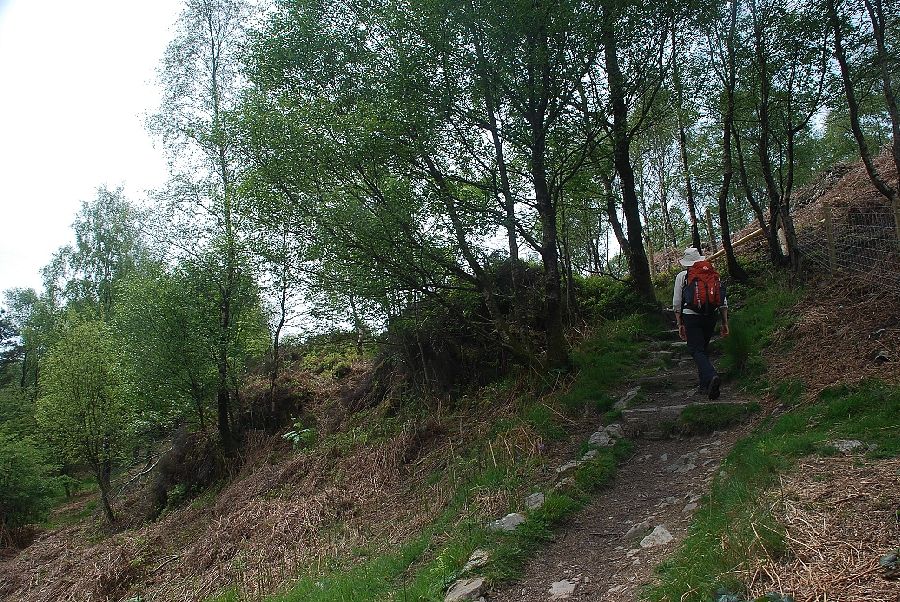
| The path rises due north towards a gate which gives access to the woods of Bell Intake |
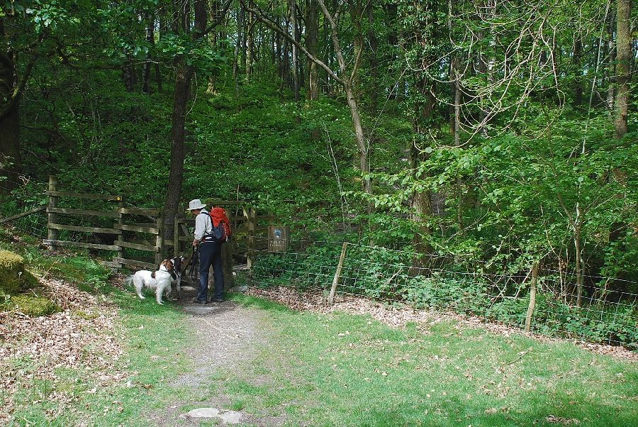 |
| The gate into Bell Intake, a special conservation area which is managed by the Lake District National Park Authority |
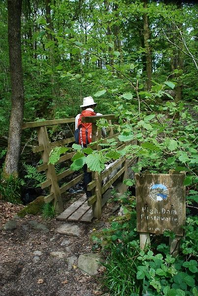 |
| Crossing Sean's Bridge over the stream which flows from Low Dam |
 |
| The path rises from the stream to join a broad path which comes up from the National Trust's High Dam car park |
 |
| The broad path to Low Dam and High Dam |
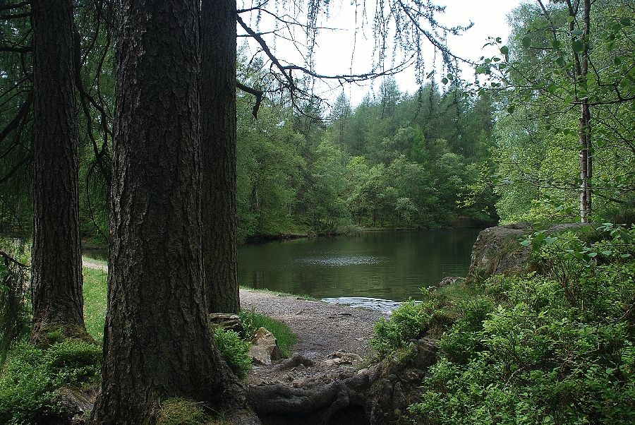 |
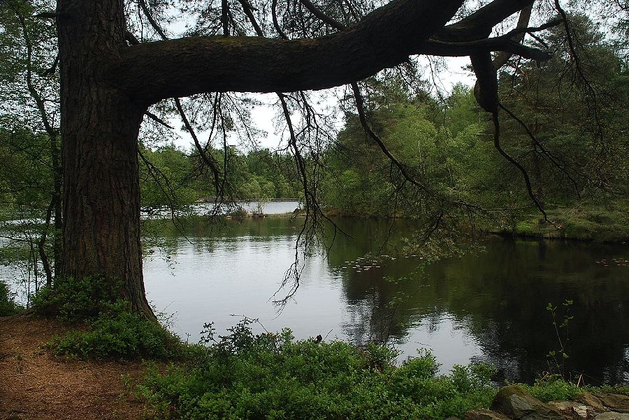
| The small artificial tarn of Low Dam. You can cross the dam to access a more direct path to the summit of Finsthwaite Heights but it is more preferable to continue on the path around the larger tarn of High Dam |
 |
| Looking across the Low Dam tarn to the High Dam embankment |
 |
| Crossing the outflow of High Dam |
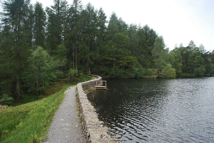 |
| The dam wall of High Dam |
 |
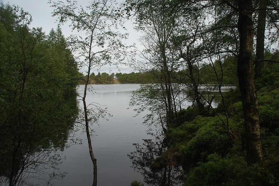
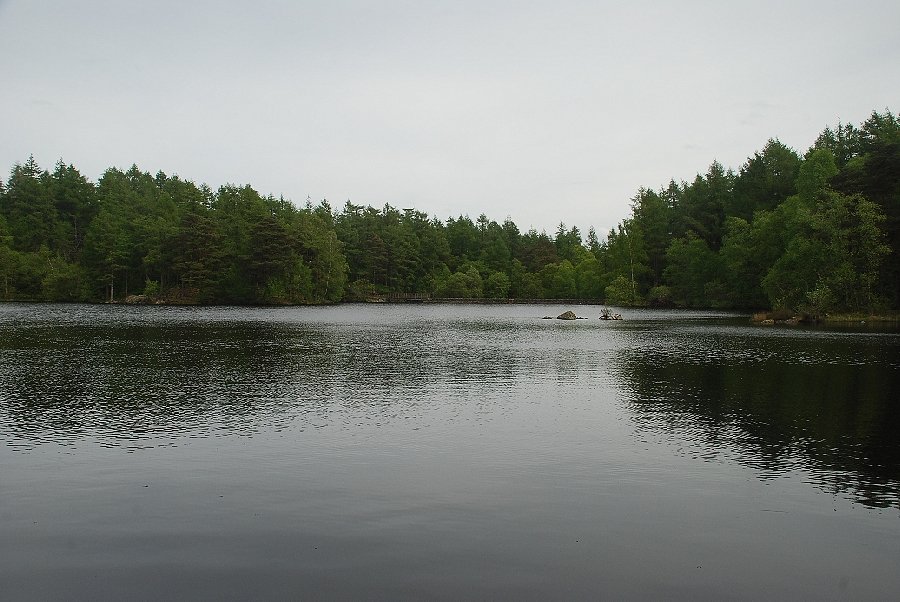
| High Dam from the path along its east shore. The tarns of Low and High Dam were created to provide power for the Stott Park Bobbin Mill |
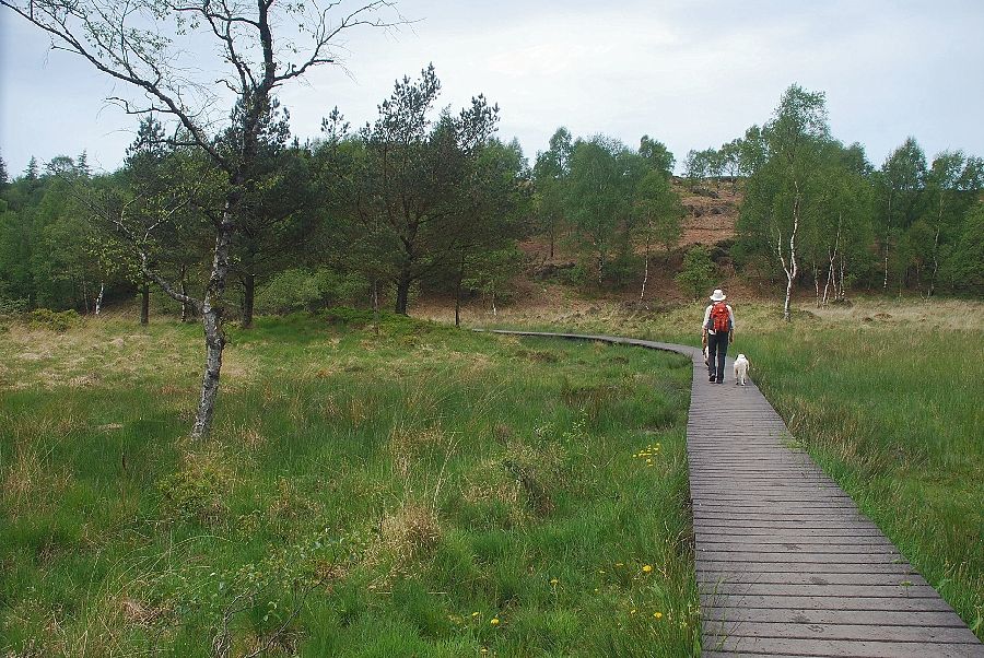 |
| Crossing the boardwalk over the marshy ground on the north side of High Dam |
 |
| High Dam from the boardwalk |
 |
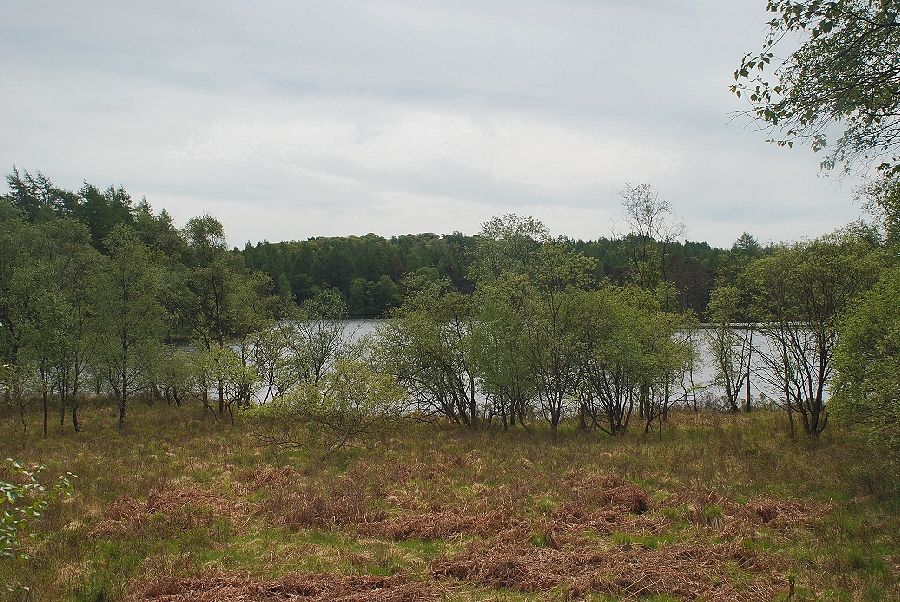
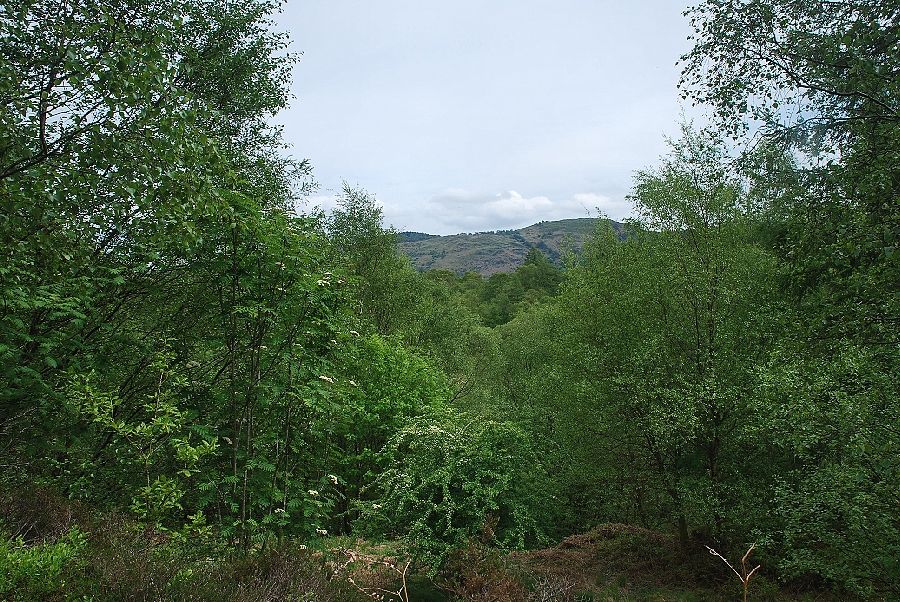
| From the boardwalk the path climbs away from the thickly planted shore of the tarn to traverse the lower slopes of Great Green Hows before descending back to the tarn |
 |
| Looking to Gummer's How from the path on Great Green Hows |
 |
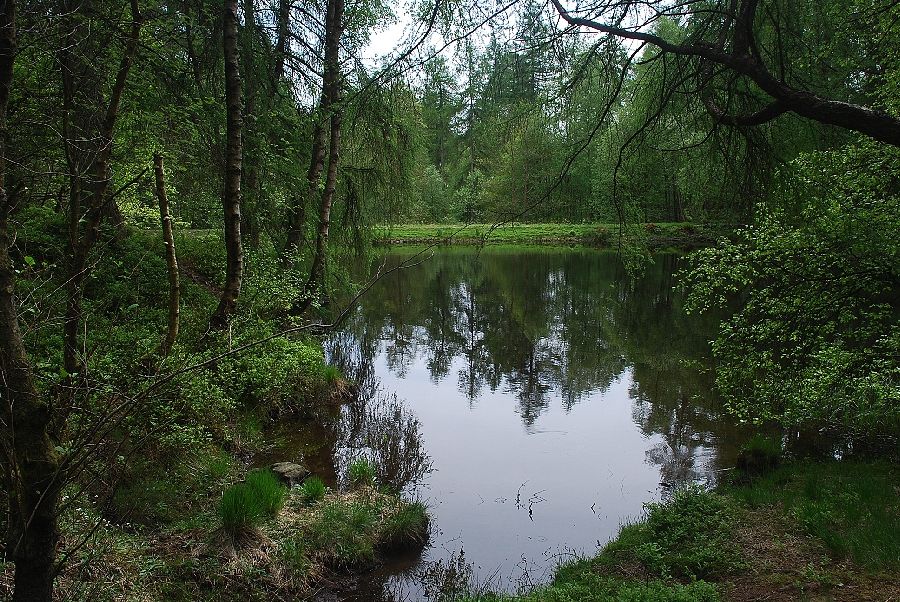
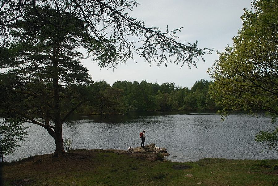
| Looking west across the tarn of High Dam |
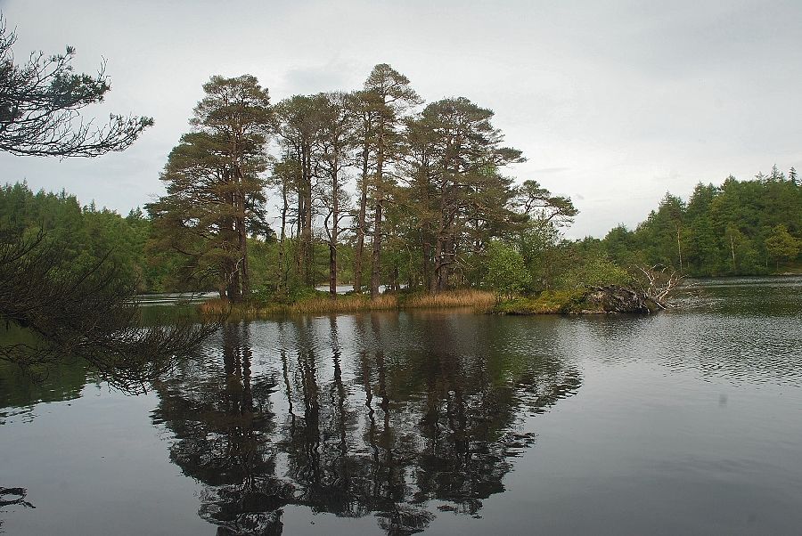 |
| Looking across to the two small islands on the western side of High Dam |
 |
| Looking east across the tarn to the dam wall |
 |
| The path continues along the southern side of High Dam |
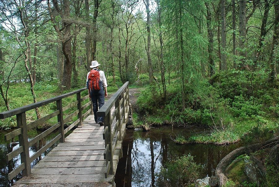 |
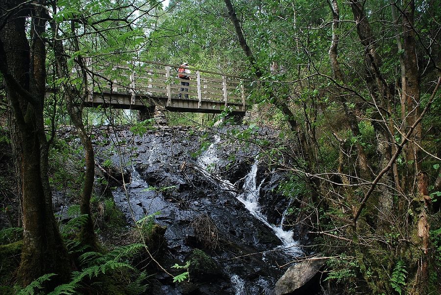
| The footbridge across High Dam's main feeder stream |
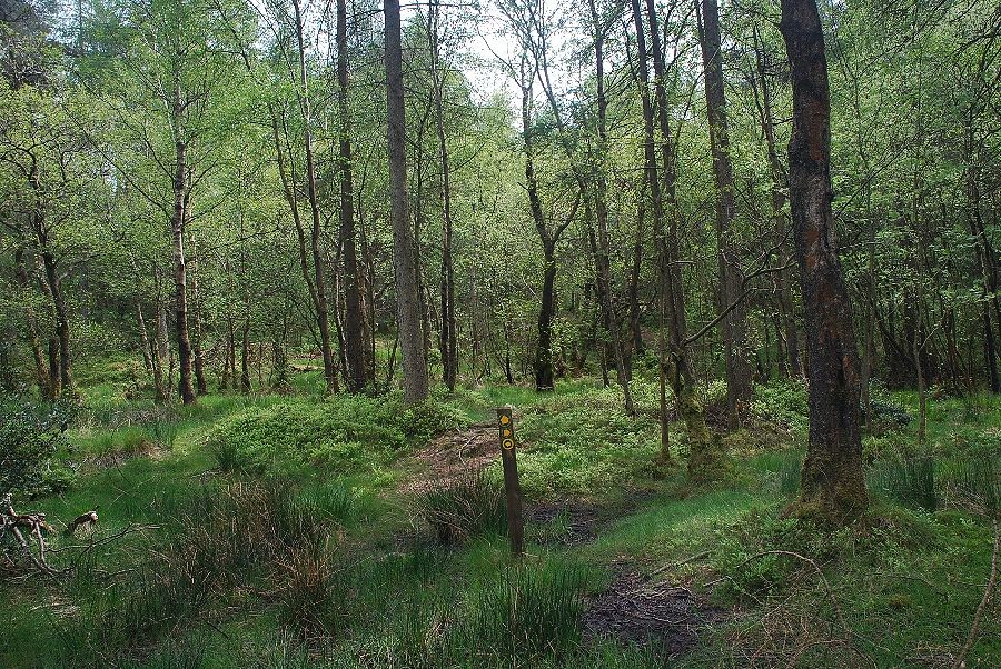 |
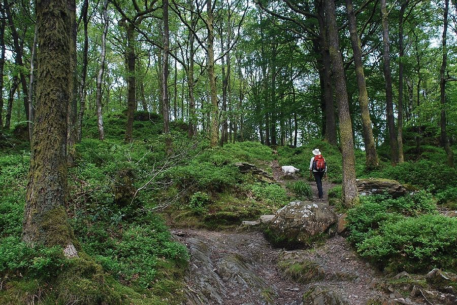
| Shortly after crossing the footbridge a guidepost indicates the start of the path through the woodland which leads to Finsthwate Heights |
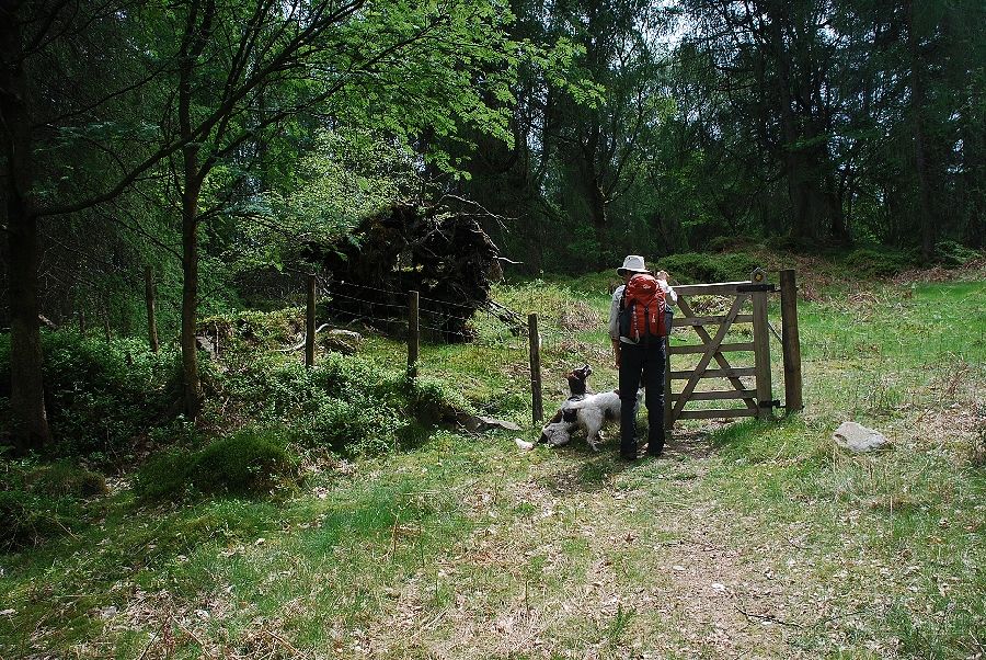 |
| The path leaves the woodland of the special conservation area via a gate to emerge onto Finsthwaite Heights |
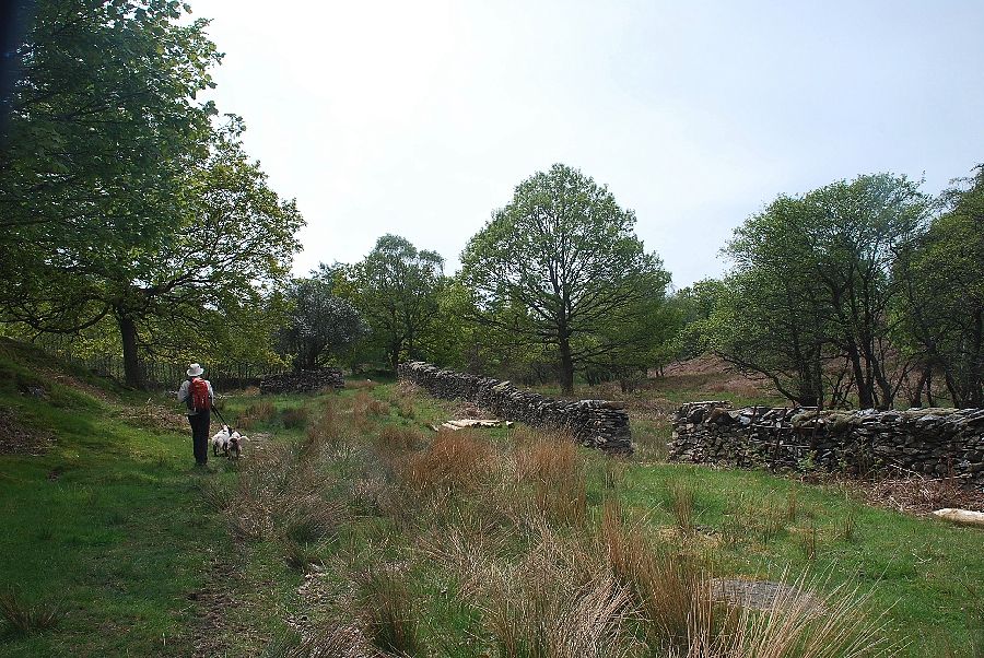 |
| On the OS map Finsthwaite Heights merely denotes the upland area to the south of High Dam. It is crossed by numerous old paths not all of which are marked on the map. AW made no attempt to locate the highest point which lies just under half a mile due south from High Dam |
 |
| Looking across to Gummer's How |
 |
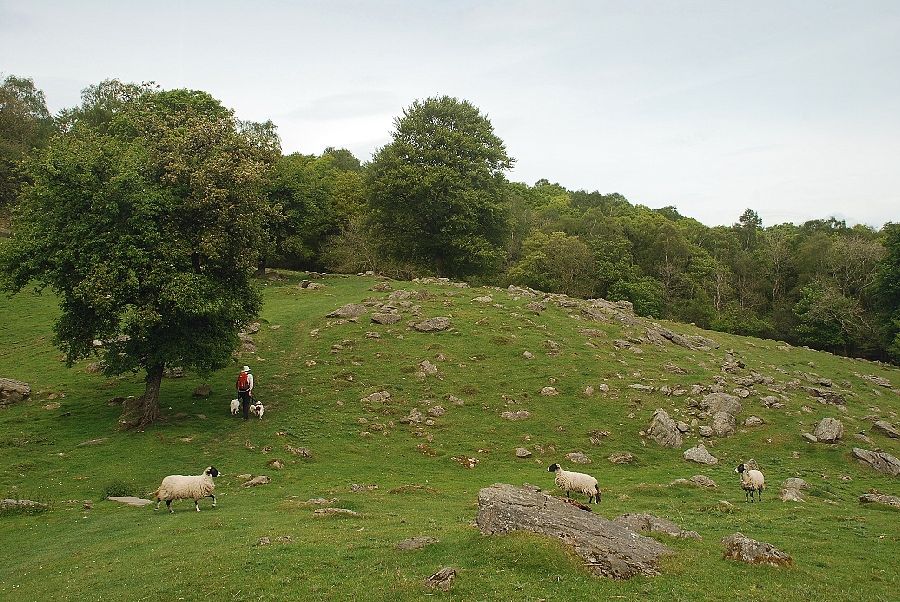
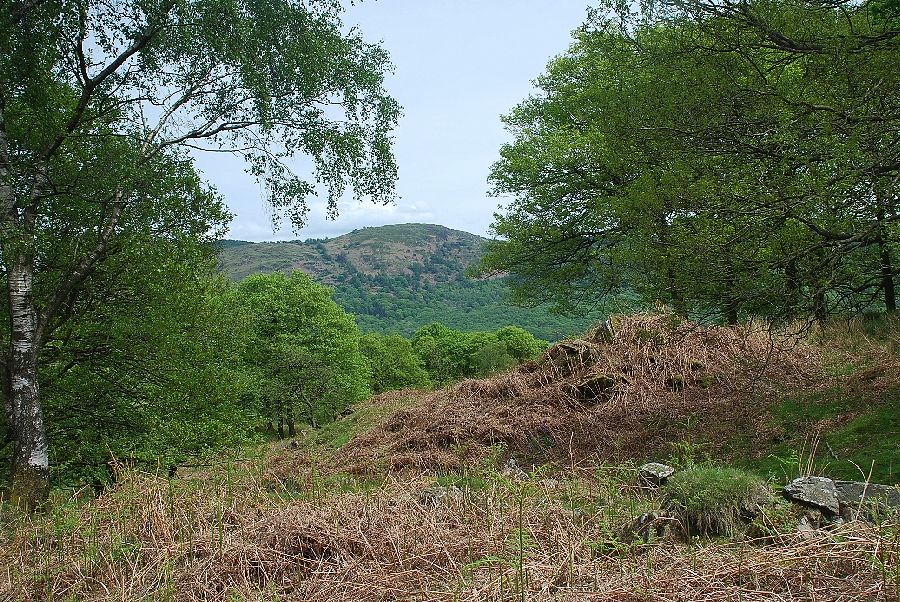
| Approaching the highest point of Finsthwaite Heights |
 |
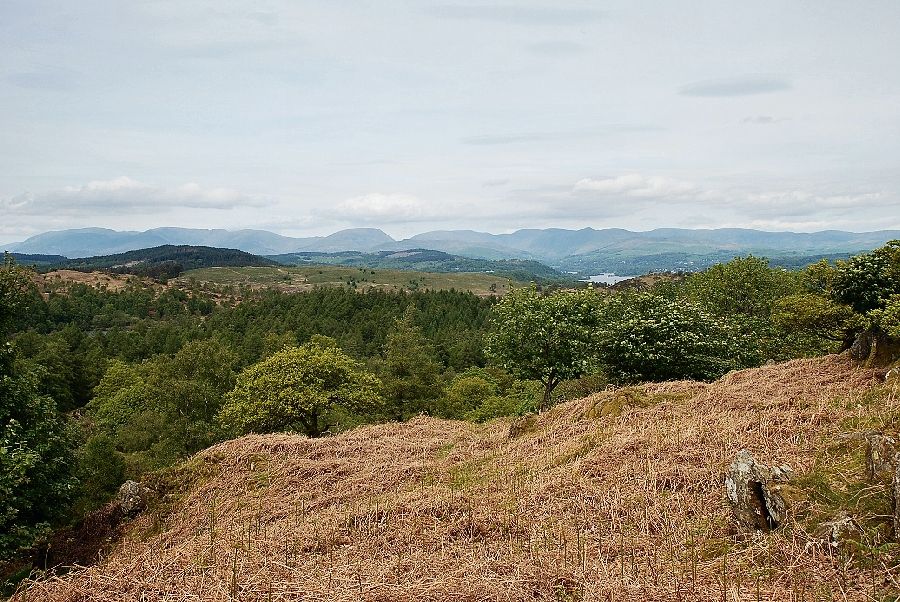
| Looking back, Red Screes, Caudale Moor, and the Ill Bell ridge feature prominently on the horizon |
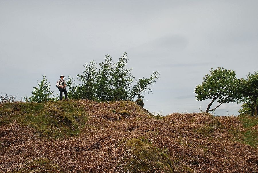 |
| The highest point of Finsthwaite Heights which is marked by a meagre pile of stones |
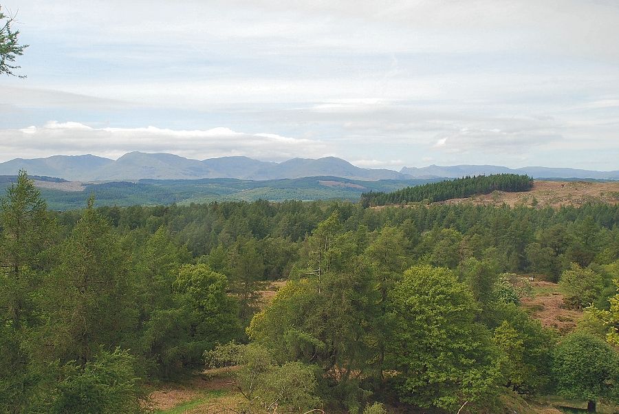 |
| Looking to the Coniston Fells and the Langdale Pikes |
 |
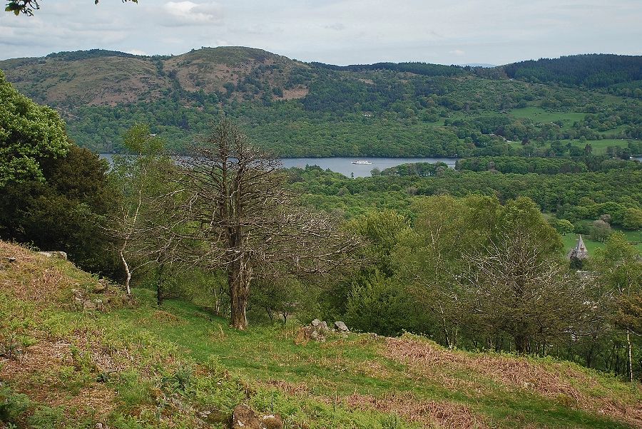
| Looking north to the head of Windermere |
 |
| Looking across to the wooded Summer House Knott above Finsthwaite |
 |
| Gummer's How above the foot of Windermere |
