 |
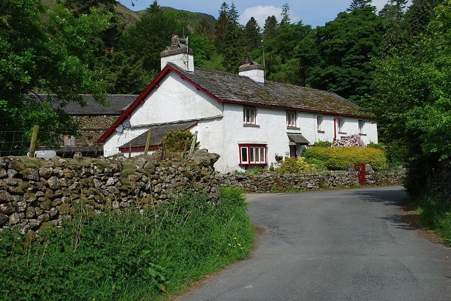
| Ghyll Foot Farm on the road to Greenburn |
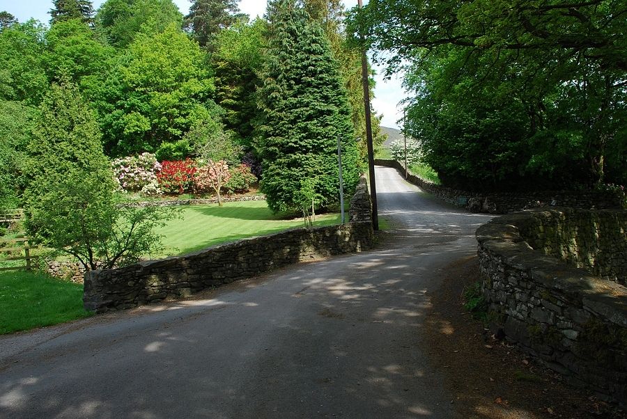 |
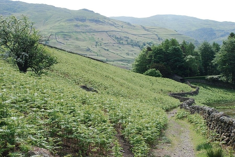
| Past Ghyll Foot a private lane turns off to the left alongside the garden of Helmside to Turn Howe |
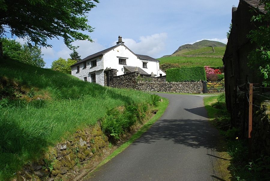 |
| Turn Howe cottages at the end of the lane below the south east ridge of Steel Fell |
 |
| Looking across to Great Rigg from Turn Howe |
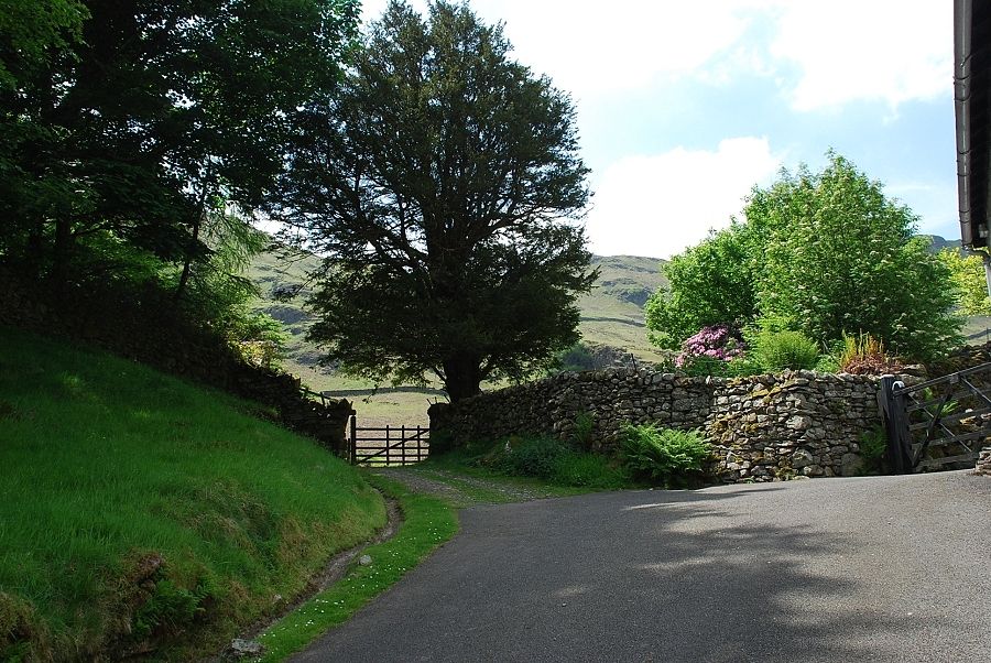 |
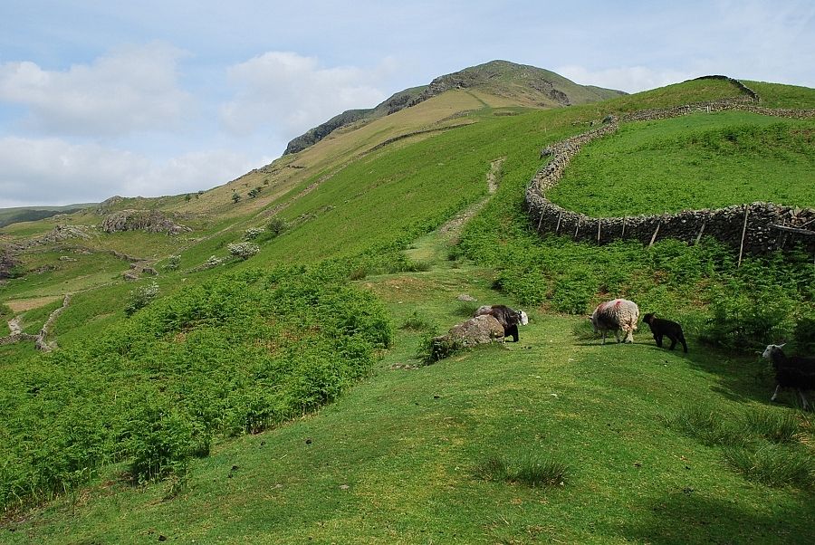
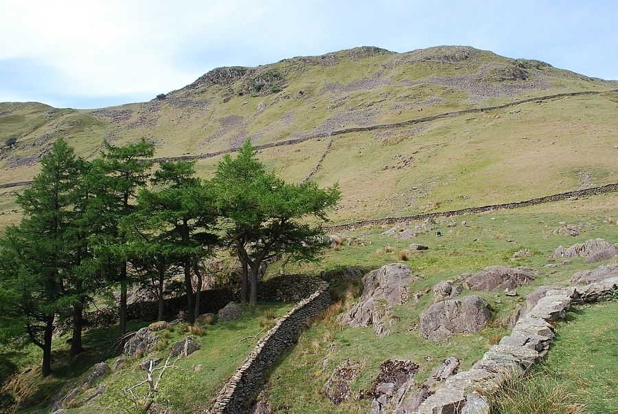
| Above the cottages a gate gives access to Greenburn Dale |
 |
| Gibson Knott above Greenburn Dale |
 |
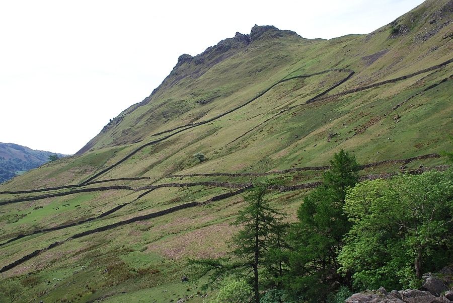
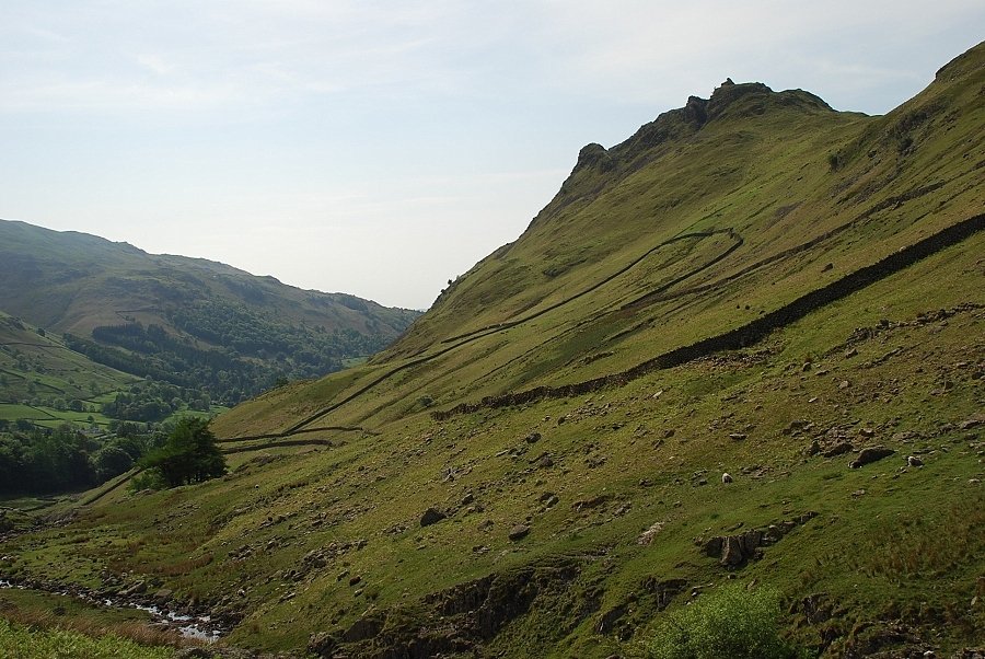
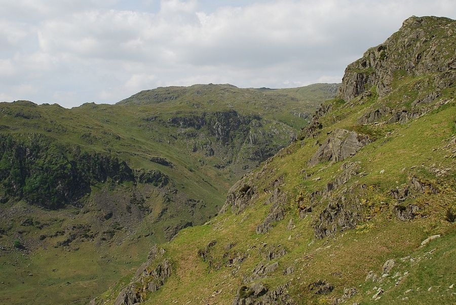
| The south east ridge of Steel Fell |
 |
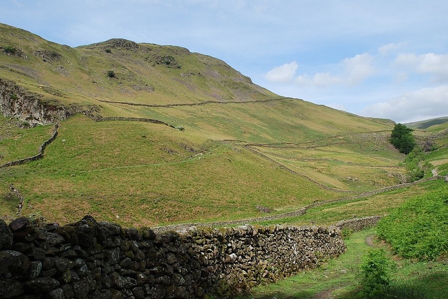
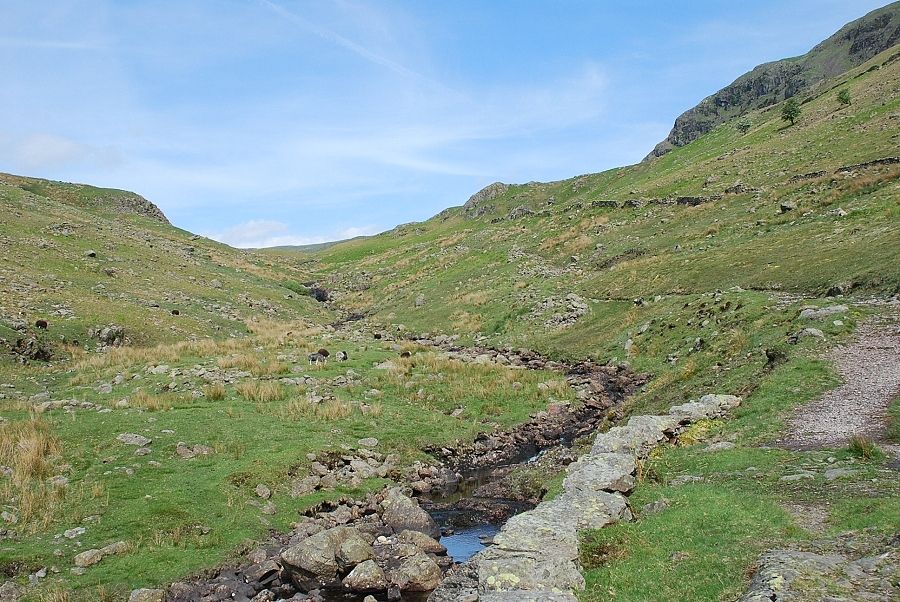
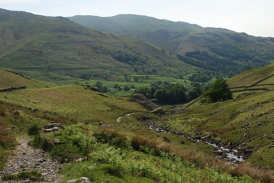
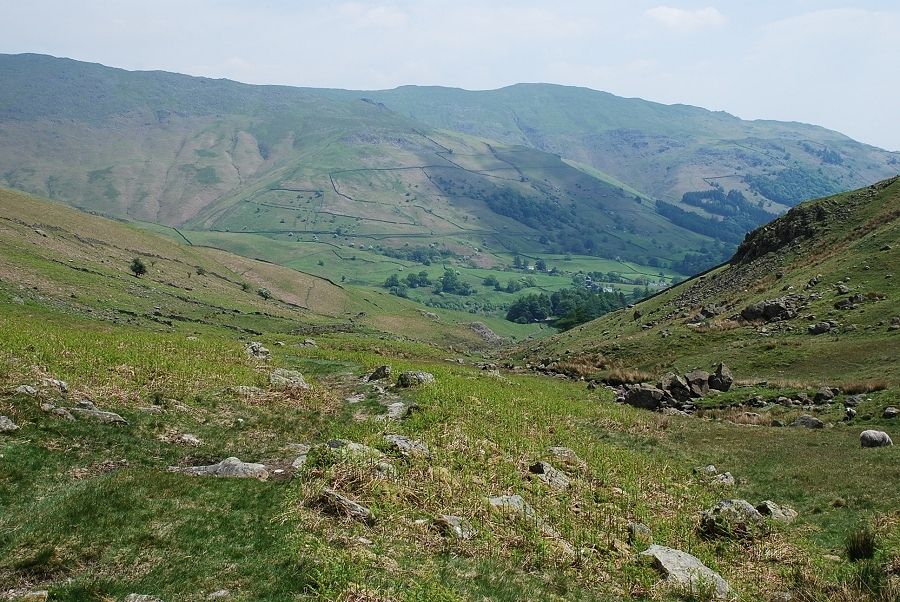
| The lower part of Greenburn Dale where the path runs alongside a wall as far as the upper waterfalls of Green Burn |
 |
| Looking back from the start of the path |
 |
| Helm Crag from the waterfalls |
 |
| Looking up to Gibson Knott from the waterfalls |
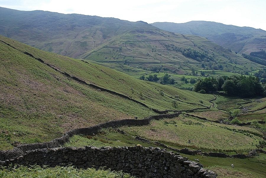 |
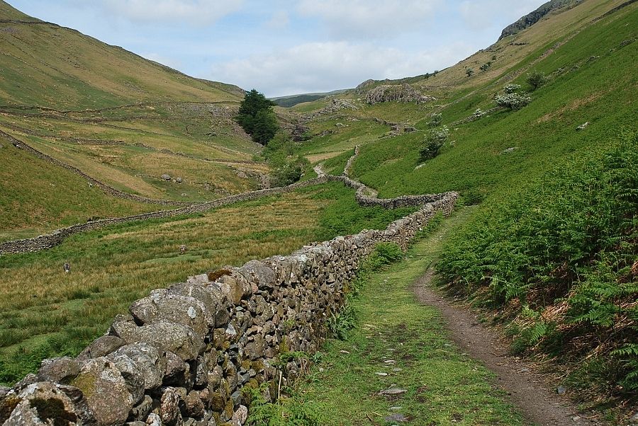
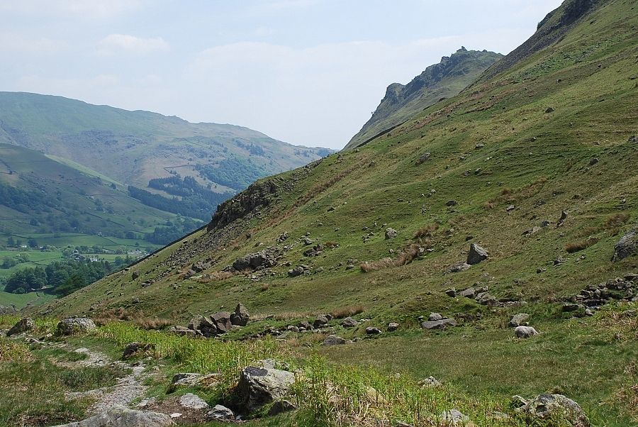
| Looking back along Greenburn from the end of the wall |
 |
| Heading on up past the waterfalls |
 |
| Another look back from mid way up the dale. Stone Arthur and Heron Pike on the opposite side of the valley |
 |
| From the same point looking up to the summit rocks of Helm Crag |
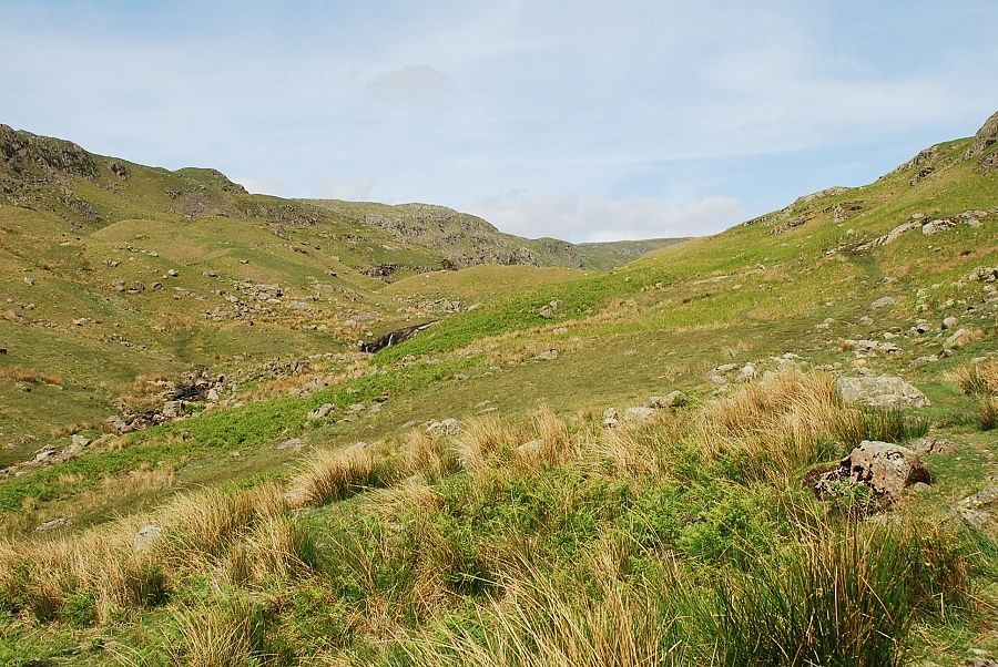 |
| Approaching the barrier of moraines below Greenburn Bottom |
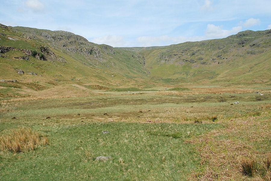 |
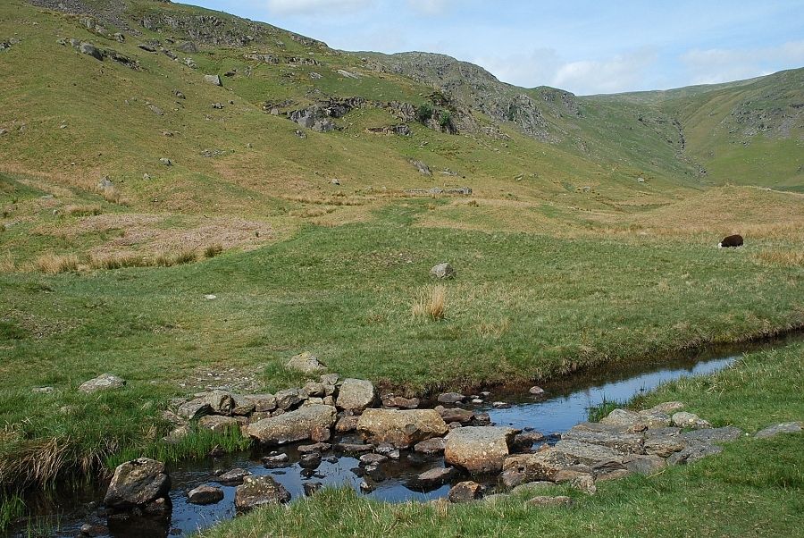
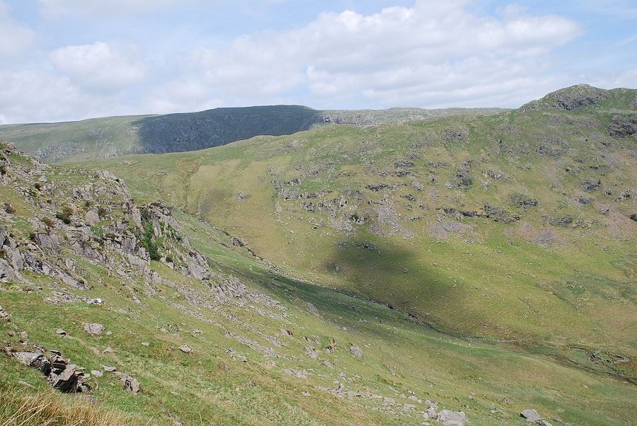
| The wide expanse of Greenburn Bottom, the site of a long vanished tarn |
 |
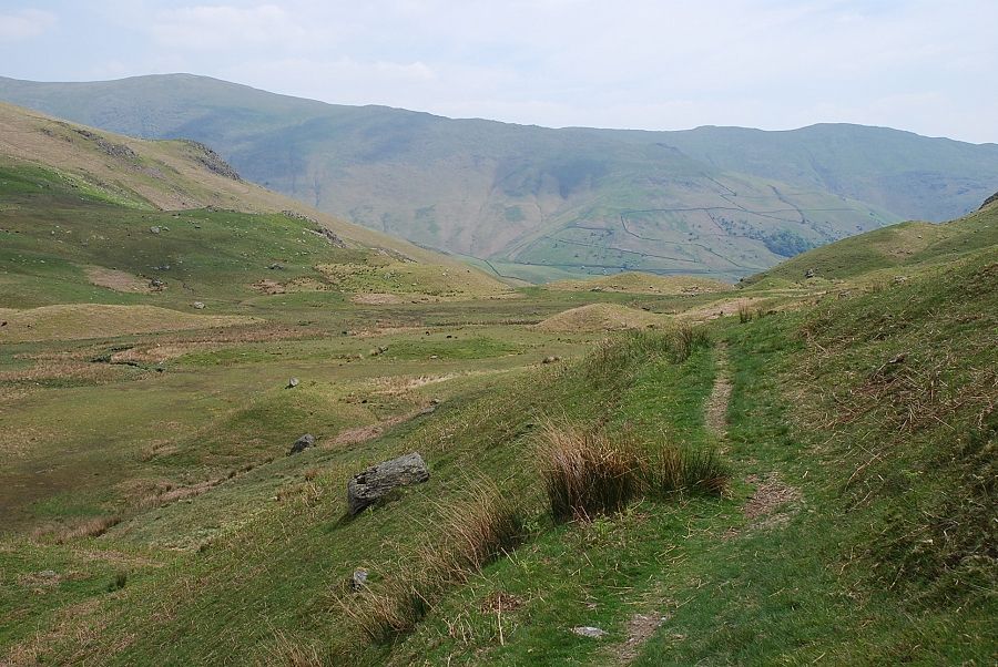
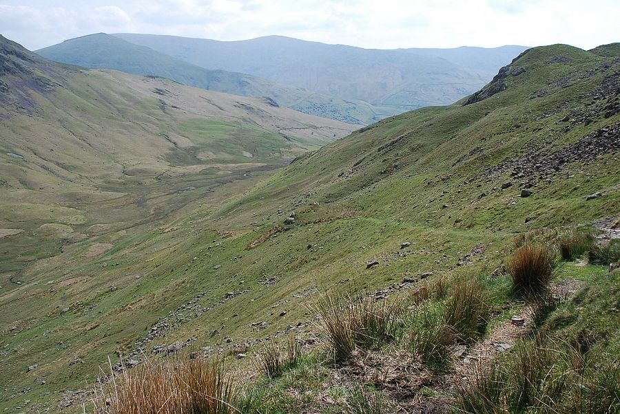
| A last look back along the length of the dale |
 |
| Helm Crag across the steep northern slopes of Gibson Knott |
 |
| The stepping stones over the Green Burn |
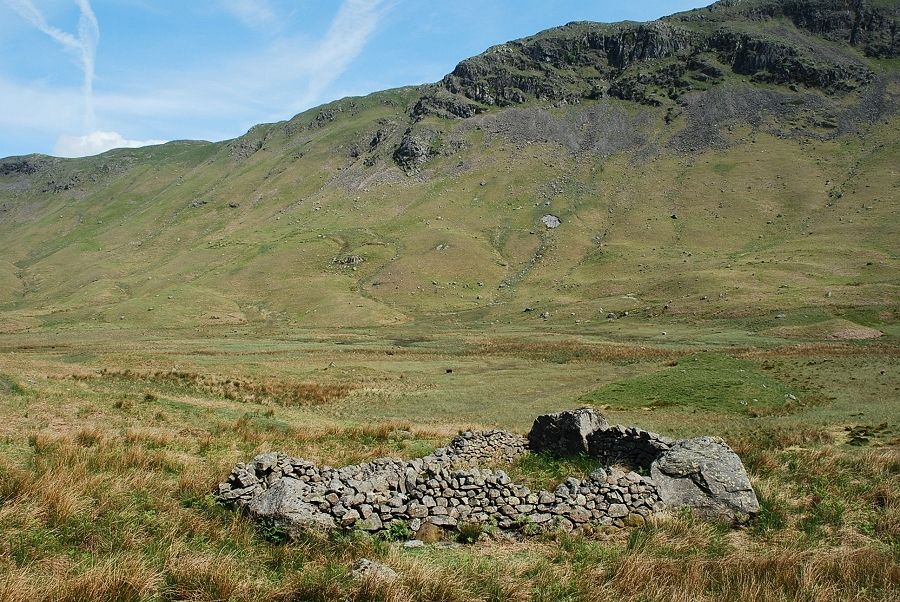 |
| Passing the unusual triangular sheepfold dominated by Blakerigg Crag across the valley |
 |
| Looking back across Greendale Bottom from the start of the climb to the ridge |
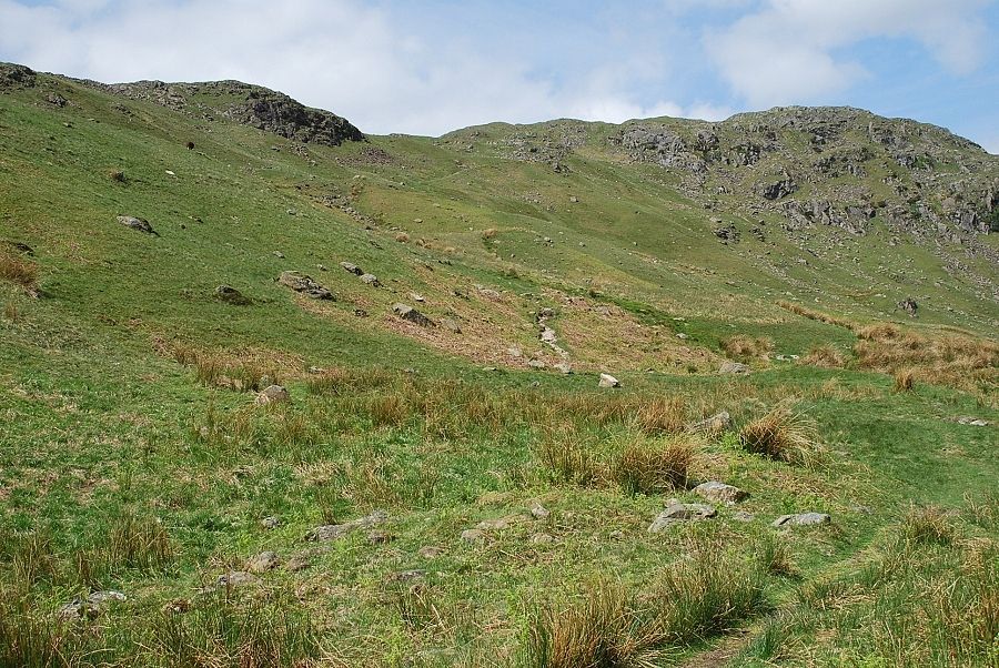 |
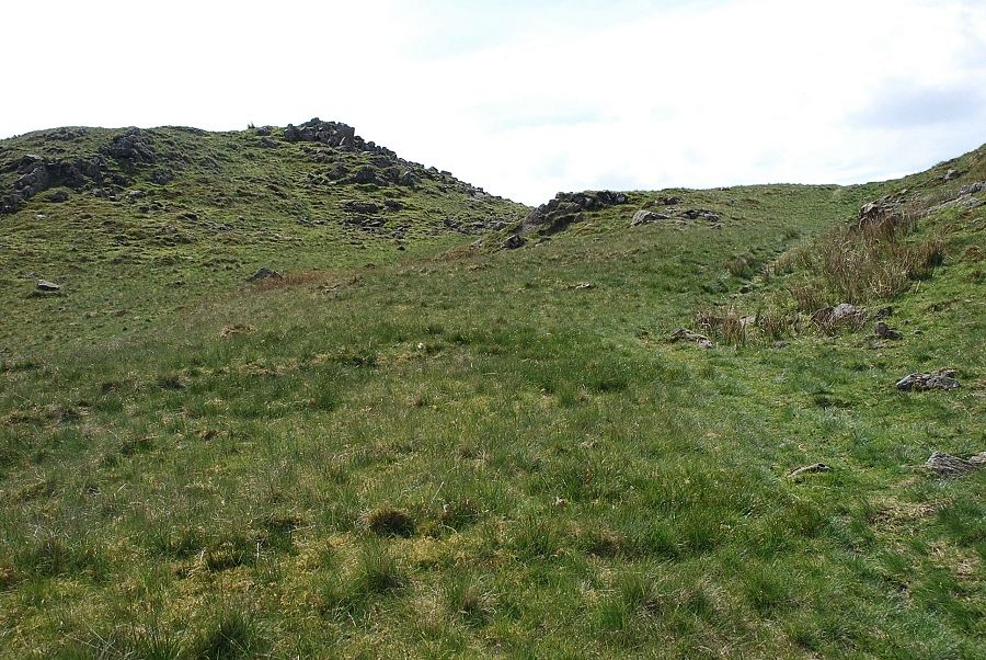
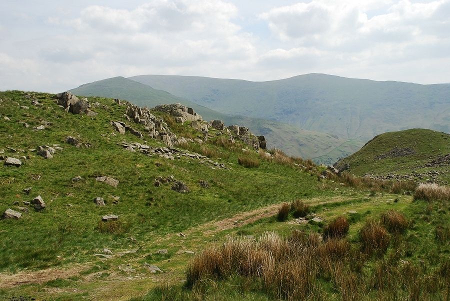
| The path to the ridge line which becomes a little indistinct at its mid point when it crosses an area of marshy ground |
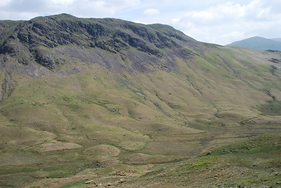 |
| Looking back over Greenburn Bottom to Blakerigg Crag on Steel Fell |
 |
| On the upper part of the path which reaches the ridge line at a col between Gibson Knott and Pike of Carrs |
 |
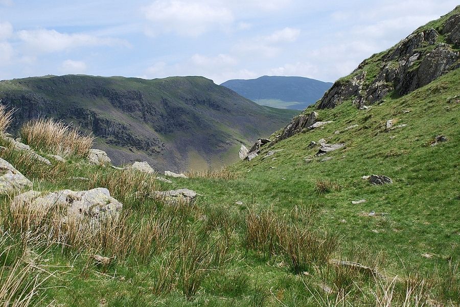
| Looking down to Greenburn Bottom from the near the ridge line |
 |
| From the same point, Ullscarf over the head of Greenburn |
 |
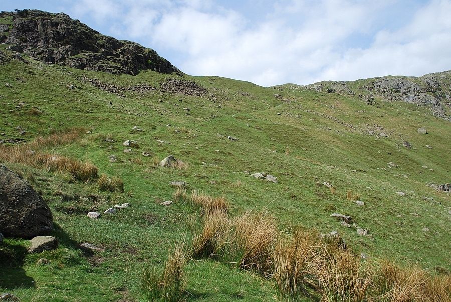
| Approaching the ridge line |
 |
| On the ridge looking south east to the summit of Gibson Knott |
 |
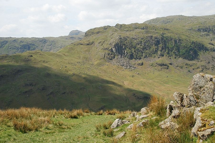
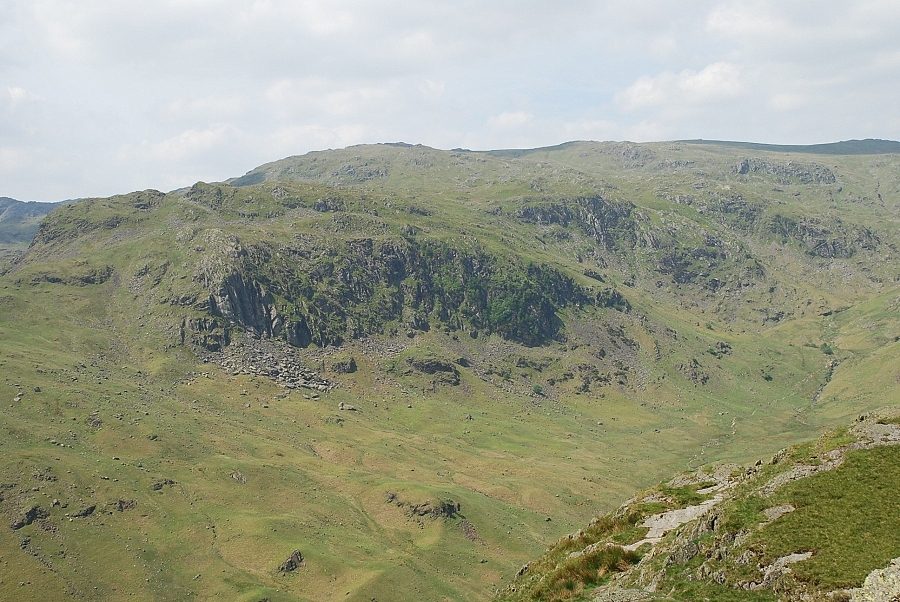
| Deer Bields Crag and Ferngill Crag across Far Easdale. The distinctive summit of Pike of Carrs on the right |
 |
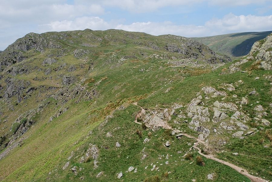
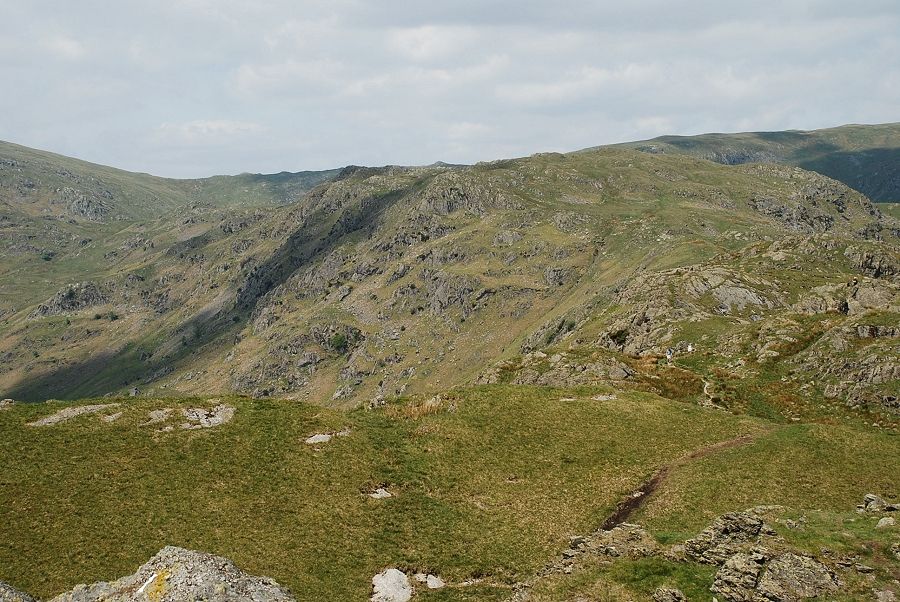
| The path towards Gibson Knott generally keeps to the Far Easdale side of the ridge |
 |
| A view through one of the many dips in the ridge to Steel Fell and Dollywaggon Pike |
 |
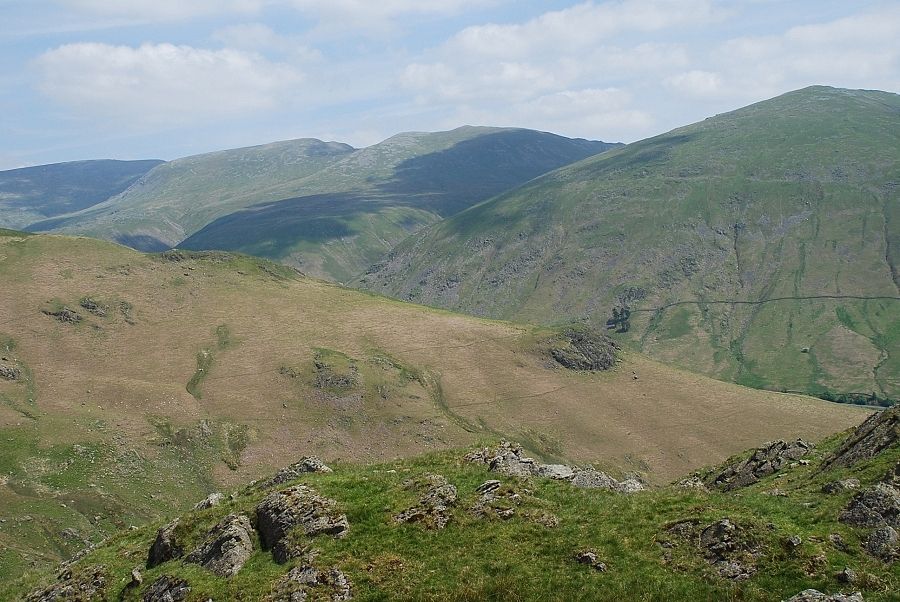
| Looking back along the ridge to Calf Crag, Pike of Carrs on the left |
 |
| Further along the ridge Harrison Stickle comes into view to the left of Tarn Crag |
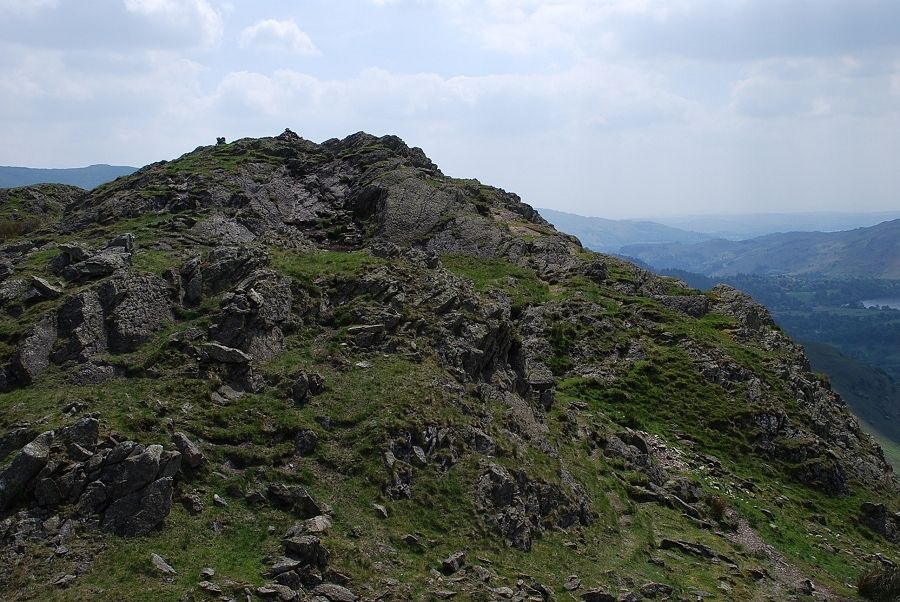 |
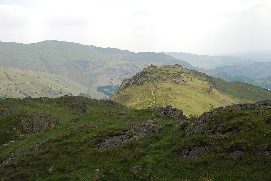
| Approaching the summit of Gibson Knott |
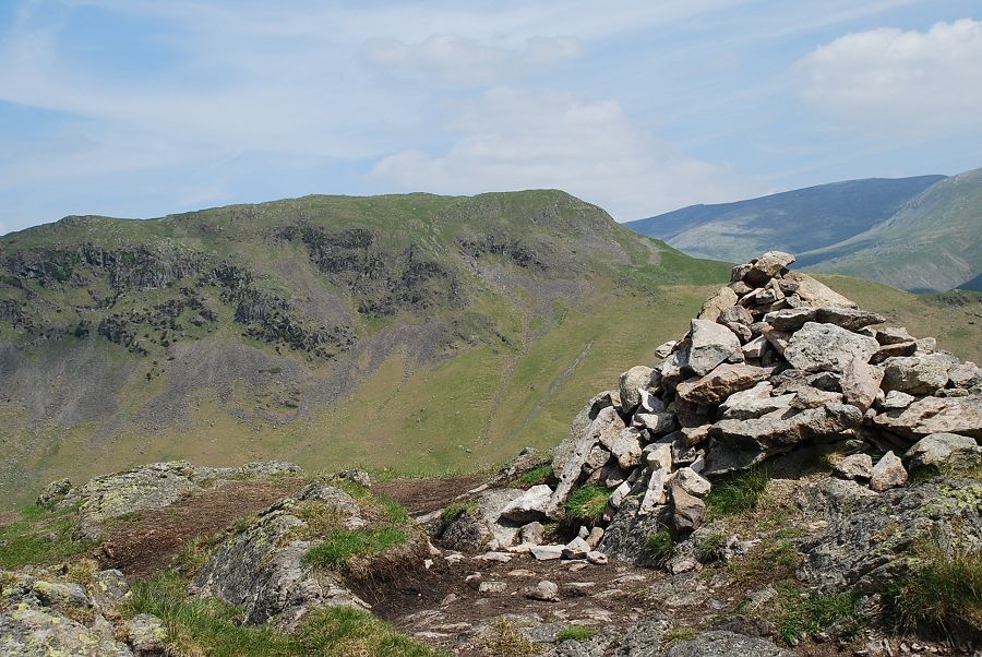 |
| The summit cairn on Gibson Knott looking to Steel Fell |
 |
| Looking over the south east ridge of Steel Fell to Helvellyn, Nethermost Pike, Dollywaggon Pike and Seat Sandal |
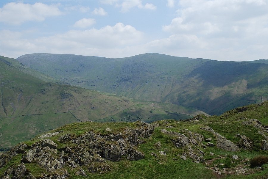 |
| Fairfield and Great Rigg |
 |
| Helm Crag bathed in sunlight |
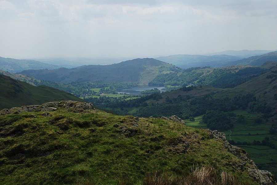 |
| Grasmere backed by Loughrigg Fell |
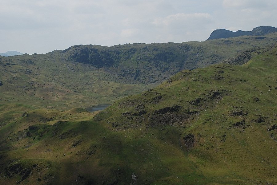 |
| A glimpse of Easdale Tarn below Blea Rigg with Harrison Stickle and Pavey Ark on the right skyline |
 |
| Deer Bields Crag across Far Easdale |
 |
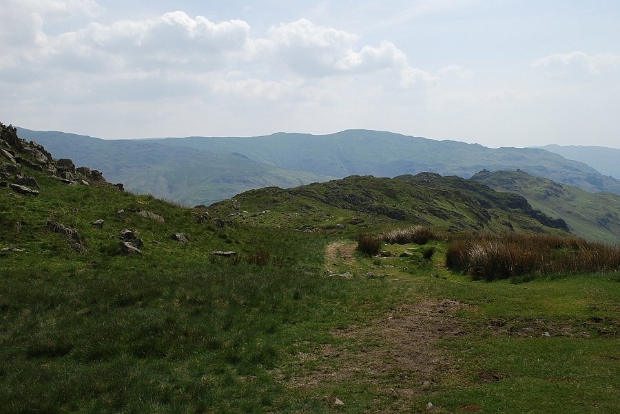
| Looking back along the ridge to Calf Crag |
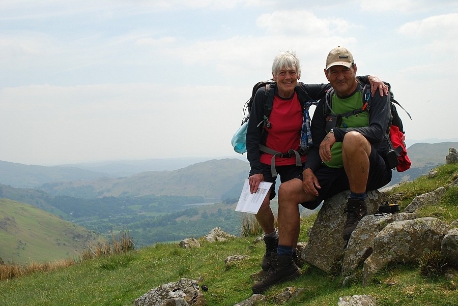 |
| Dot and Vic from Nottingham, thanks for your company (mi ducks!) on the walk back along the ridge |
