 |
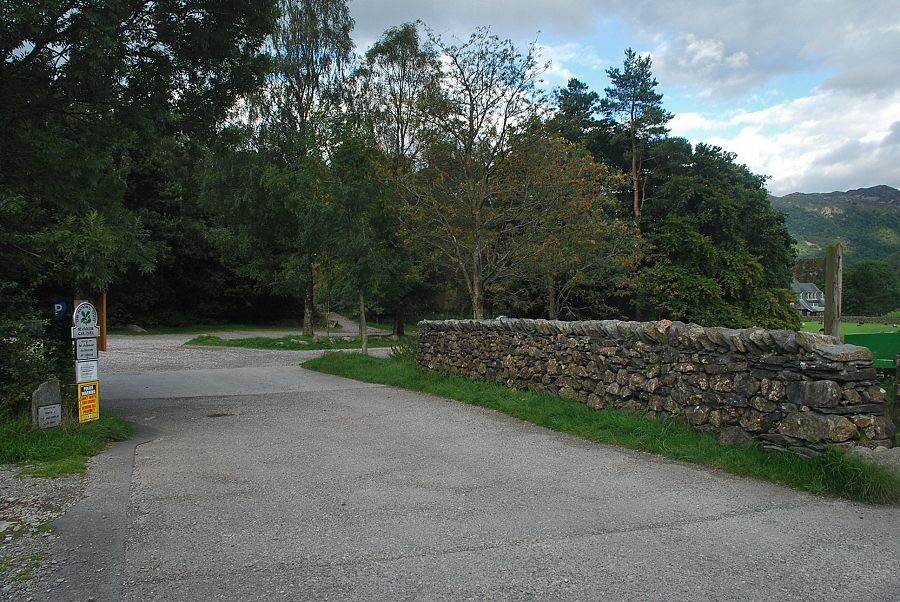
| The National Trust car park at Seatoller is the starting point for this walk |
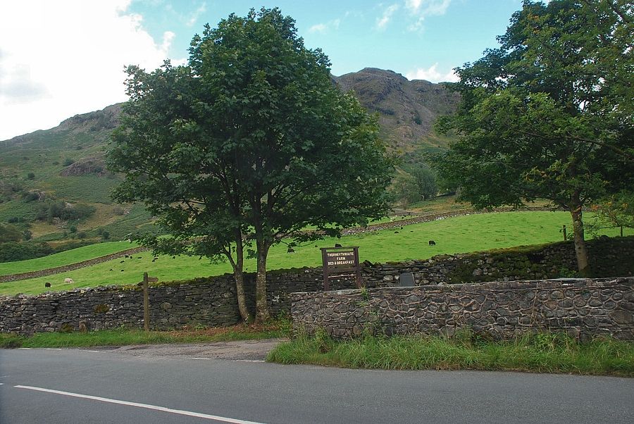 |
| Beside Strands Bridge, opposite the cottages of Mountain View, a fingerpost indicates a right of way along the access lane to Thorneythwaite Farm |
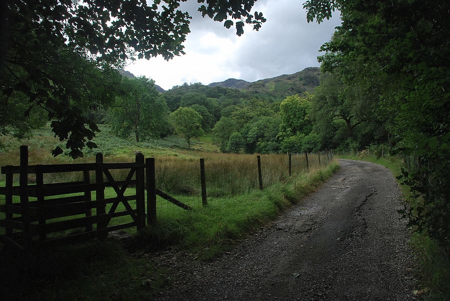 |
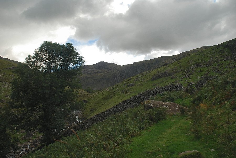
| The lane forms part of the Allerdale Ramble, a 54 mile long distance path (LDP). The lane is only followed for a few yards before leaving it at a hand-gate which gives access to a field path leading up towards Combe Gill and Thornythwaite Fell |
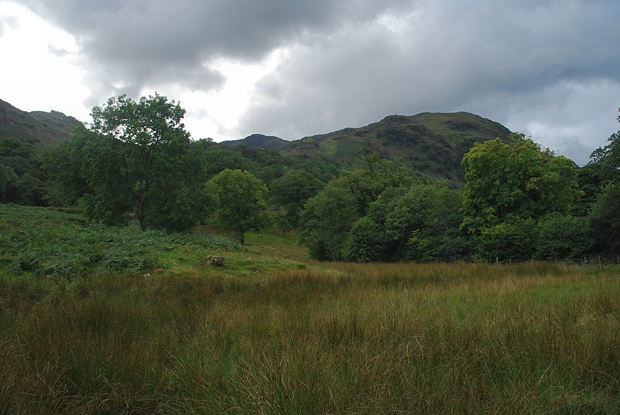 |
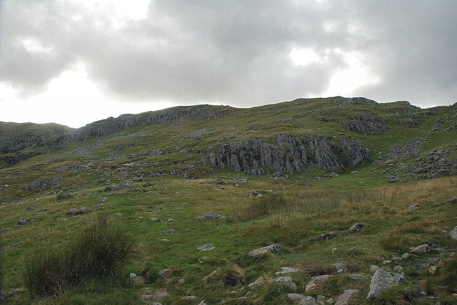
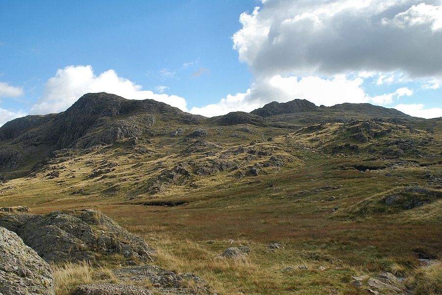
| Thornythwaite Fell from the field path, with Combe Head in the centre of the photo |
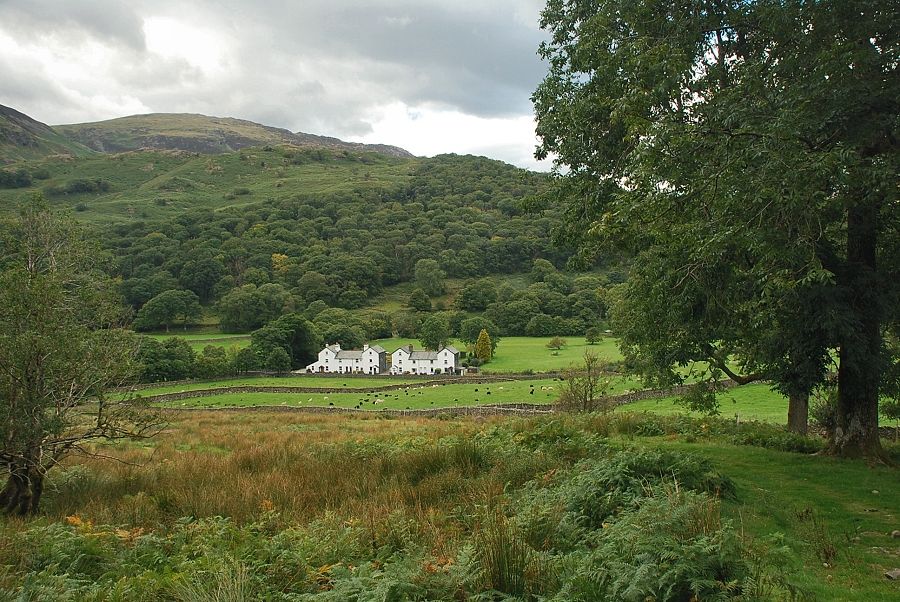 |
| Looking back to the Mountain View cottages |
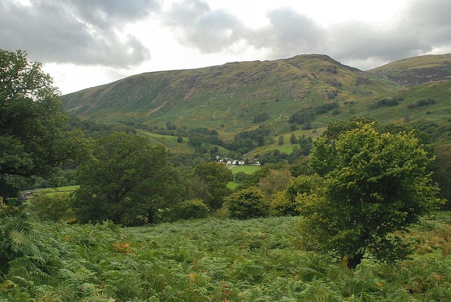 |
| Looking over to Seatoller from the field path |
 |
| Looking back to Grange Fell above Rosthwaite |
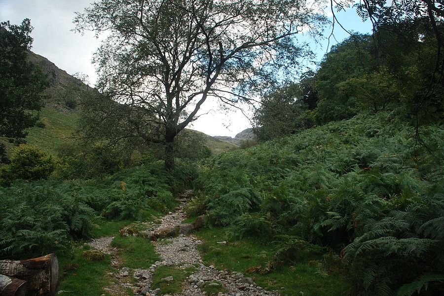 |
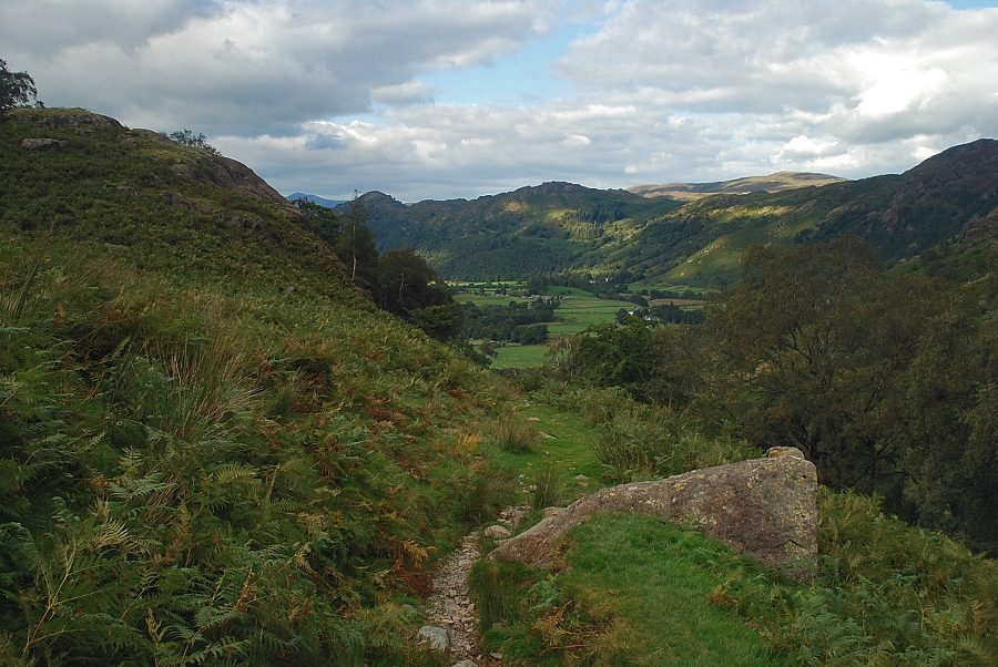
| The path to Combe Gill |
 |
| The path rises to a gate in the intake wall which gives access to the open fellside |
 |
| Looking back to King's How and Grange Fell from the intake wall |
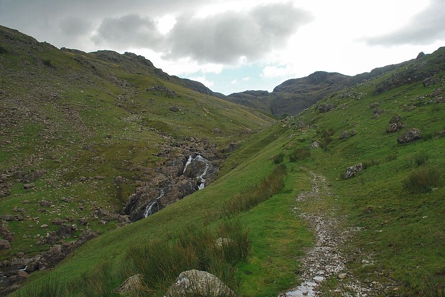 |
| Combe Head from the path alongside Combe Gill |
 |
| The path divides at a marker cairn, an indistinct track leads straight ahead into the combe but a clearer track bears right and begins to climb the steep eastern flank of Thornythwaite Fell |
 |
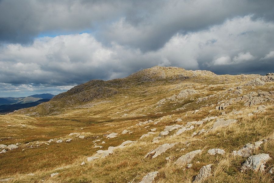
| Rosthwaite Cam and Combe Head from the path on Thornythwaite Fell |
 |
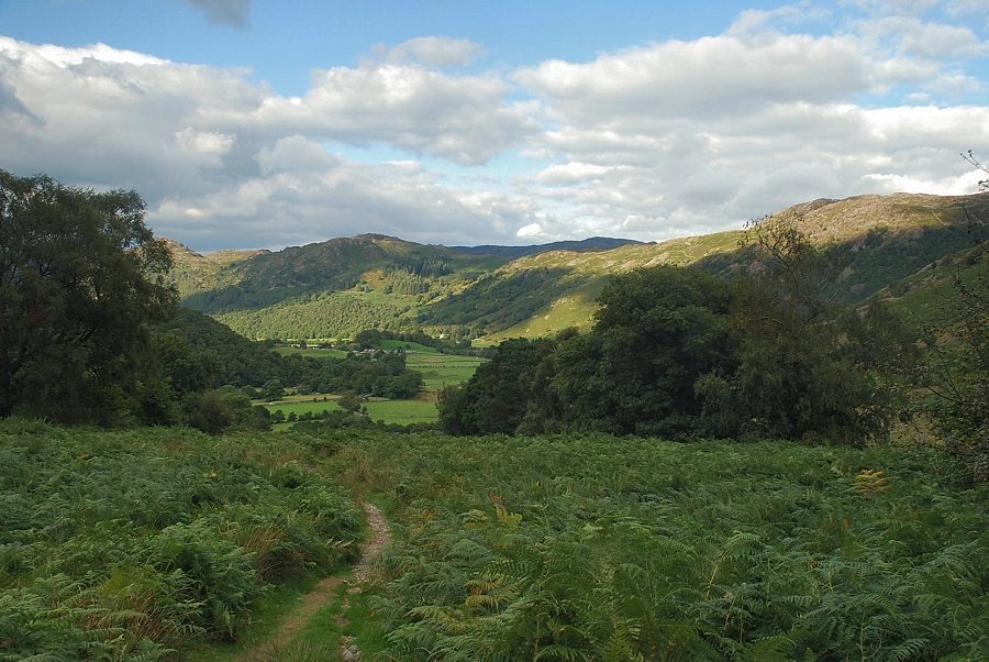
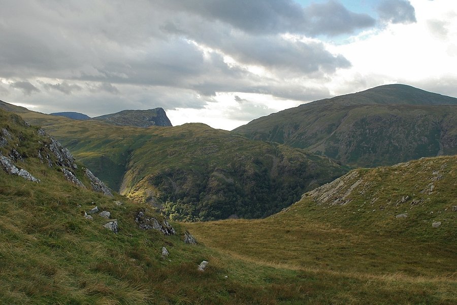
| Looking back to Borrowdale |
 |
| Combe Door and Combe Head from the path on Thornythwaite Fell |
 |
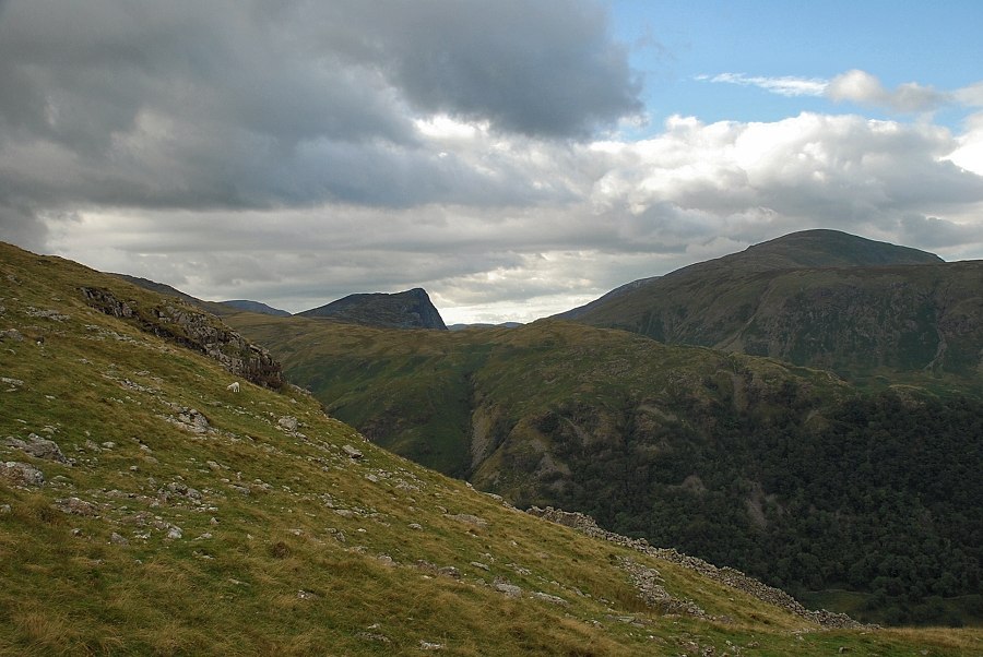
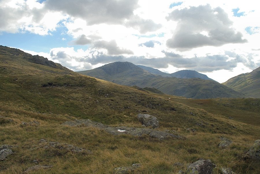
| Looking over to Dale Head above High Scawdel |
 |
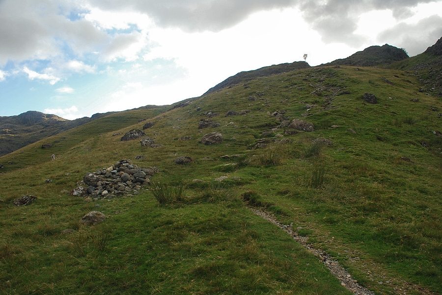
| Higher up the gradient eases as the path approaches the north ridge of Thornythwaite Fell |
 |
| On reaching the ridge line the view opens out towards Fleetwith Pike and Dale Head |
 |
| Rosthwaite Cam from the north ridge of Thornythwaite Fell |
 |
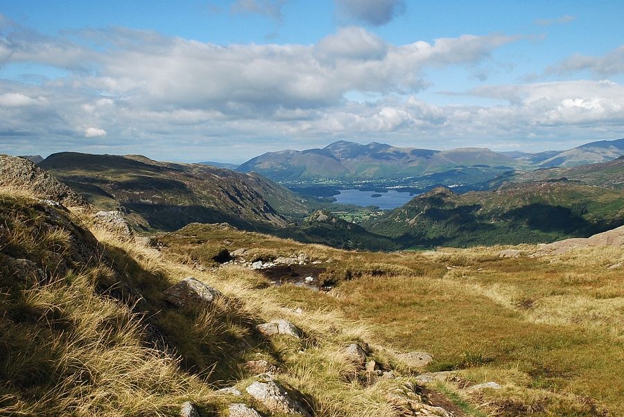
| Skiddaw and Derwent Water from the north ridge of Thornythwaite Fell |
 |
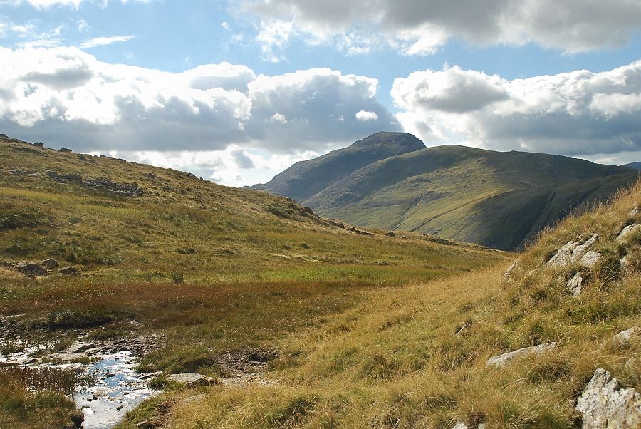
| Fleetwith Pike and Dale Head over Seatoller Fell |
 |
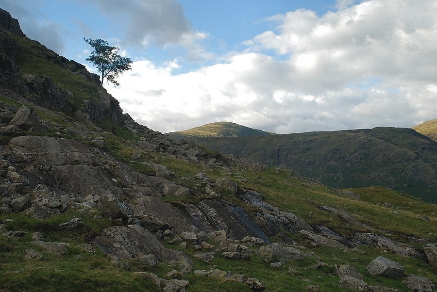
| Looking back along the north ridge of Thornythwaite Fell |
 |
| Looking across to Rosthwaite Cam with the summit ridge of Ullscarf on the left |
 |
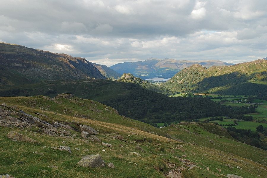
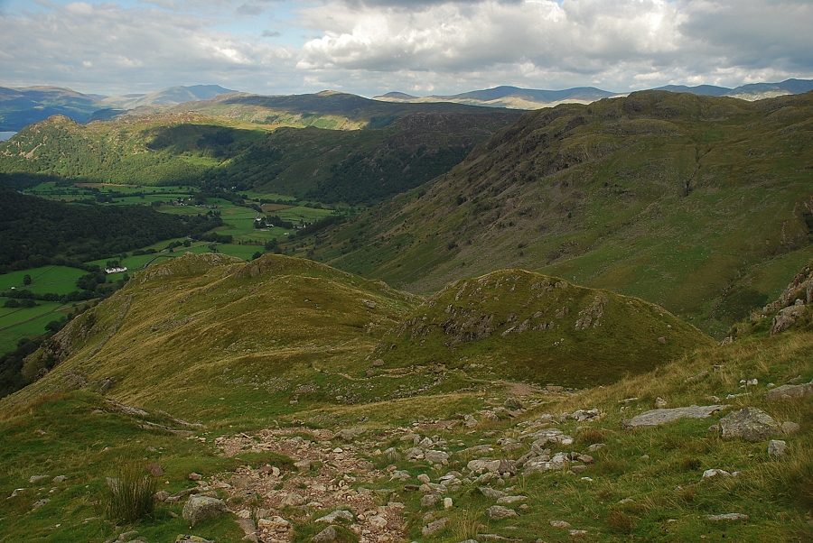
| Looking down on Seatoller from the north ridge of Thornythwaite Fell |
 |
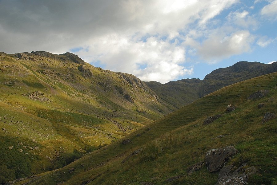
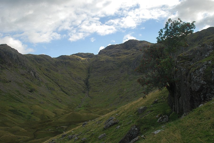
| The upper ravine of Combe Gill |
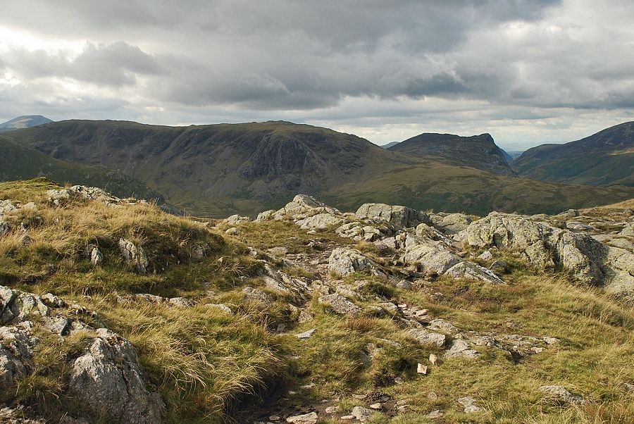 |
| Looking over to Brandreth, Grey Knotts and Fleetwith Pike |
 |
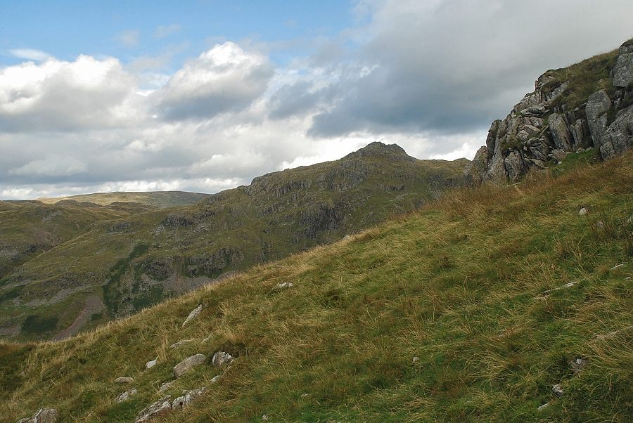
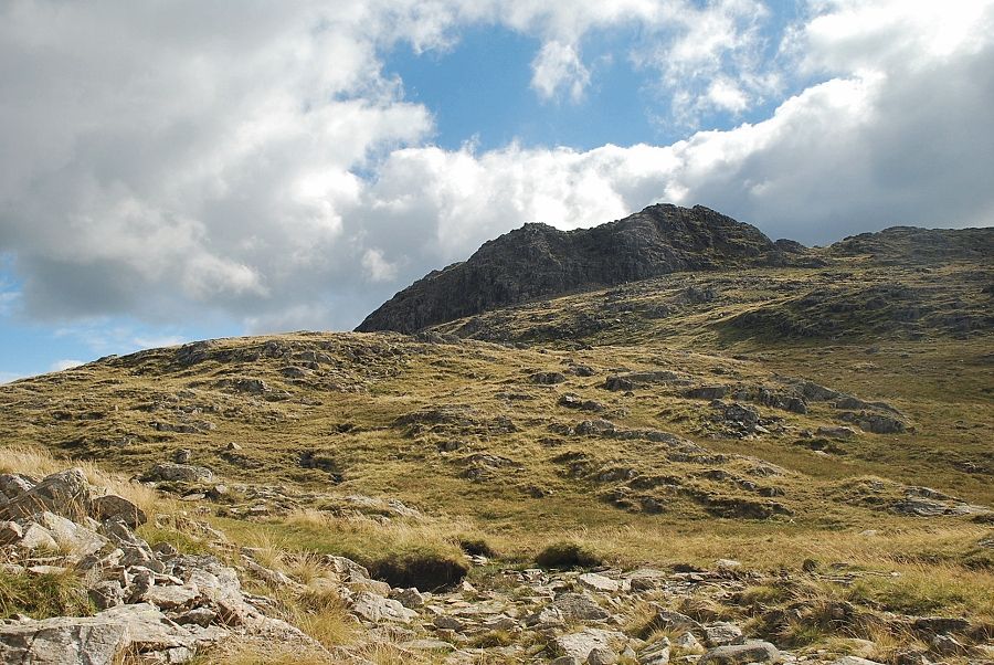
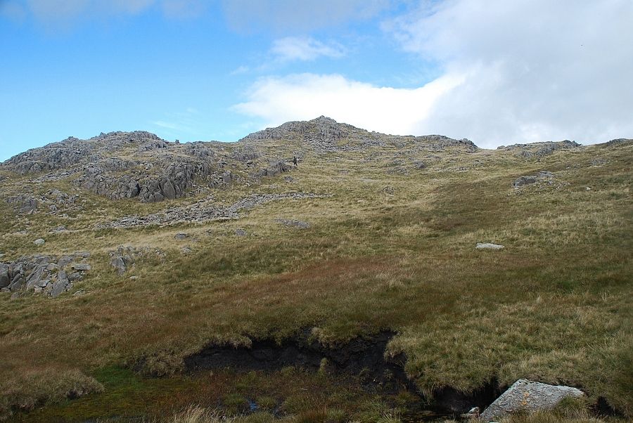
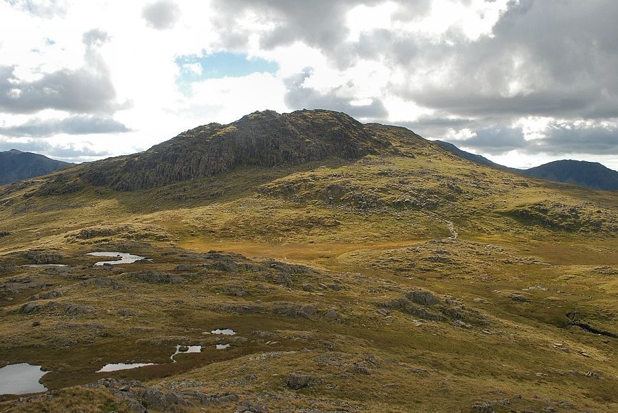
| Approaching the top of Thornythwaite Fell the summit of Glaramara comes into view in the centre of the photo with Combe Head on the left |
 |
| Looking across to Great End, Scafell Pike and Lingmell |
 |
| High Raise over the summit ridge of Rosthwaite Fell |
 |
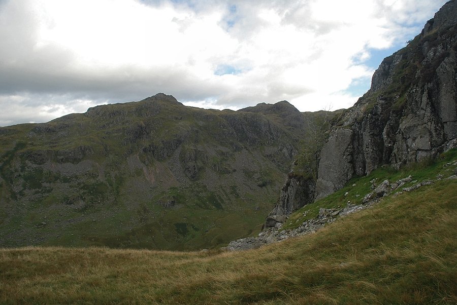
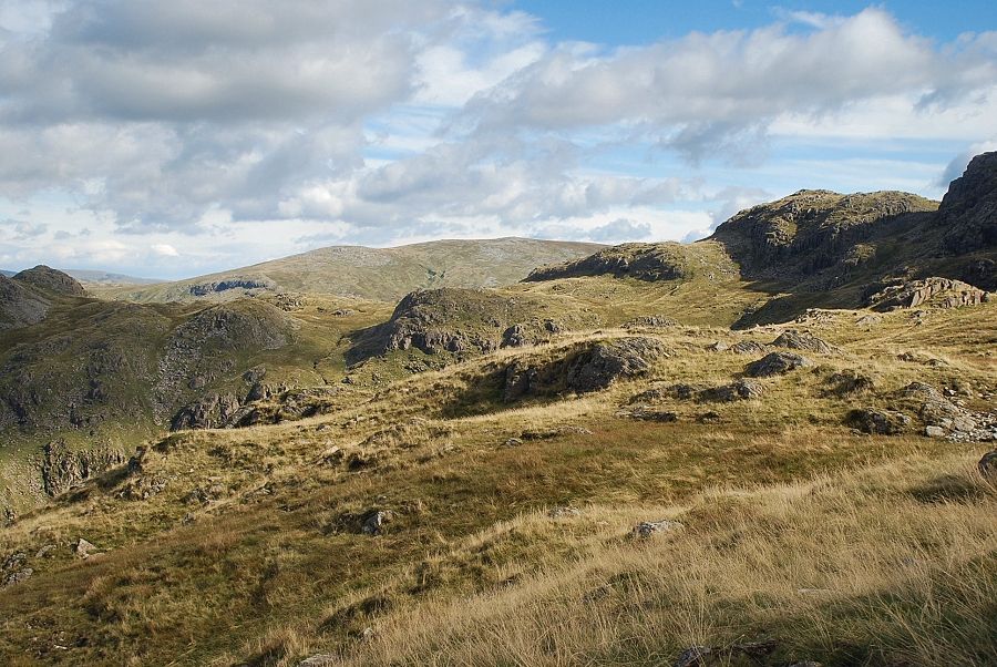
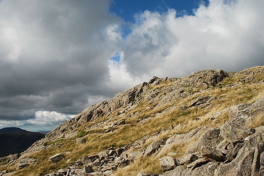
| Beyond the summit of Thornythwaite Fell the path crosses a relatively level section of the ridge below the imposing crags of Combe Head |
 |
| Looking across to Great Gable and Green Gable |
 |
| Looking back to Skiddaw and Derwent Water |
 |
| The path skirts to the right of the Combe Head crags to reach a col behind them |
 |
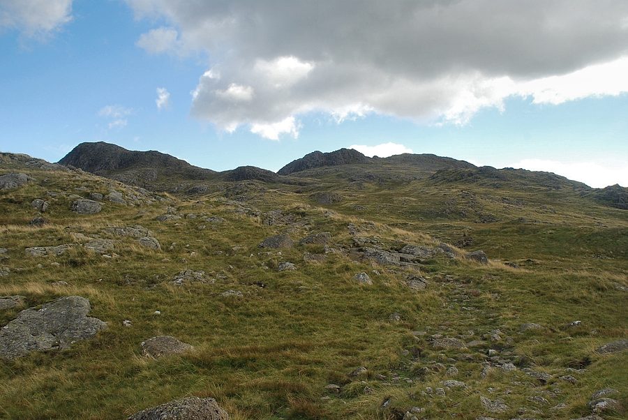
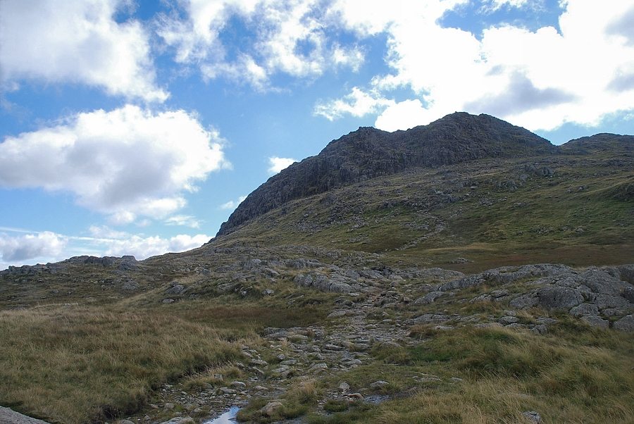
| The final slope leading up to the summit of Glaramara. It is worthwhile leaving the path at this point to make the short climb to the summit of Combe Head which is very fine viewpoint |
 |
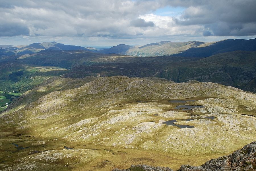
| Initially there is little evidence of a path to the summit of Combe Head but higher up one may be found above a scattering of shallow tarns which occupy a level shoulder between Combe Head and the summit of Glaramara |
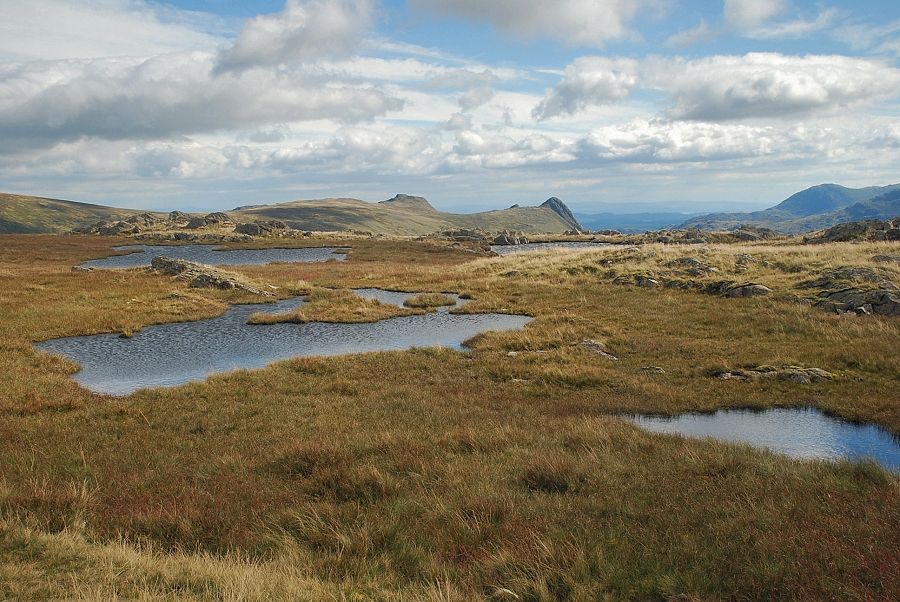 |
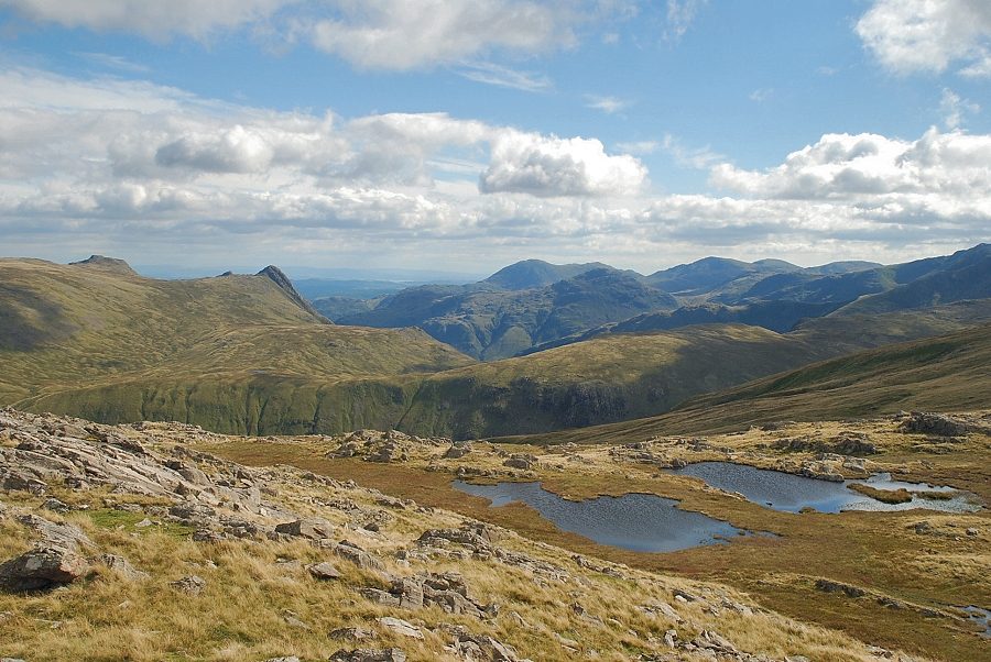
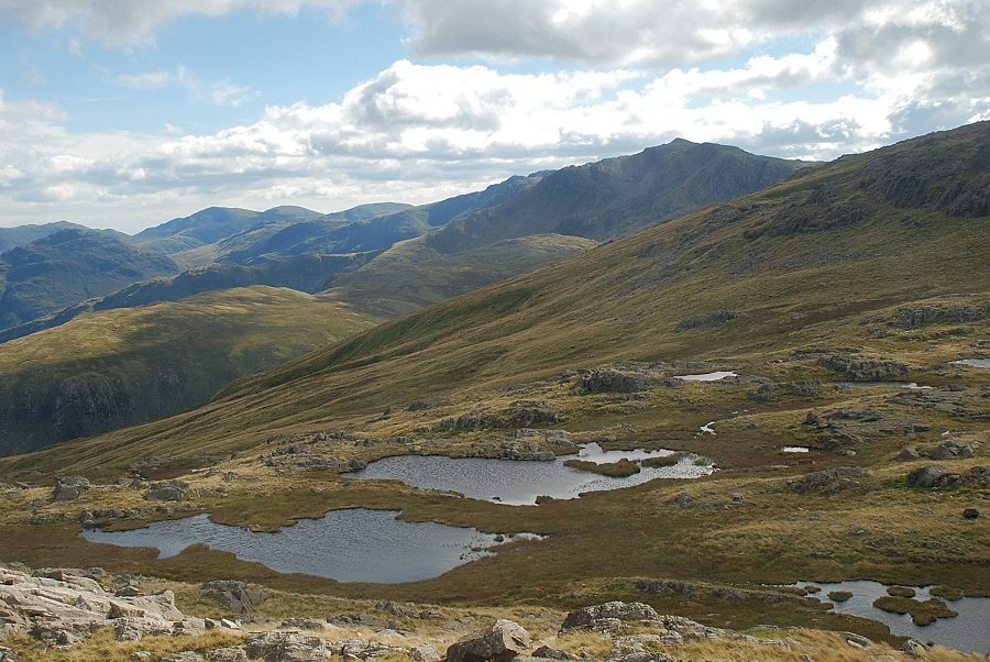
| The Langdale Pikes across the Combe Head tarns |
 |
| Approaching the summit of Combe Head |
 |
| The summit cairn on Combe Head |
 |
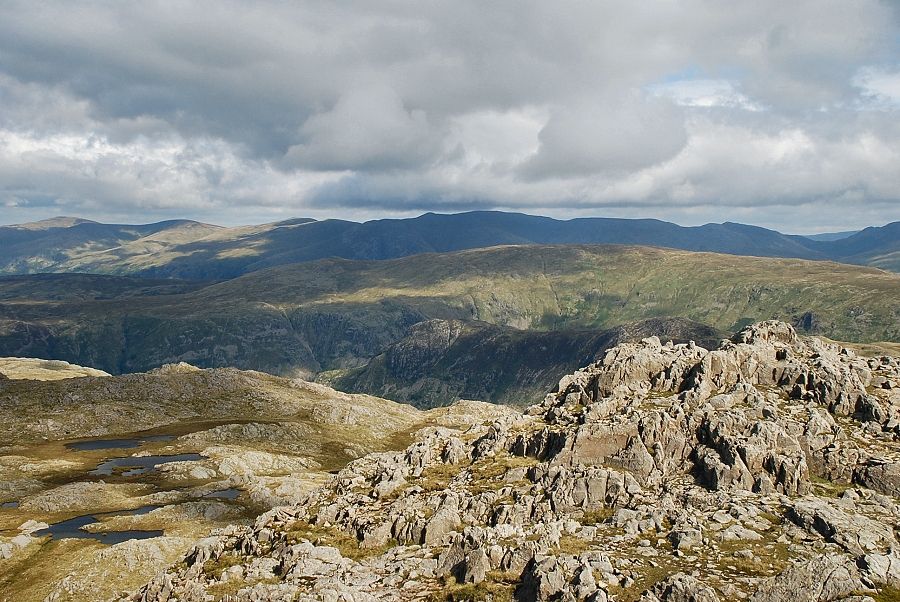
| Looking down on Thornythwaite Fell and the route of ascent from the summit of Combe Head |
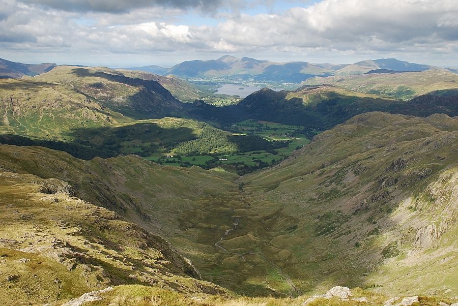 |
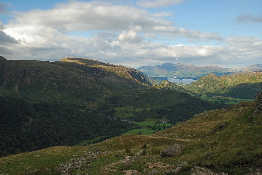
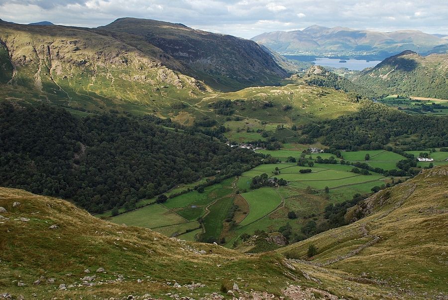
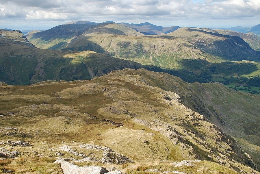
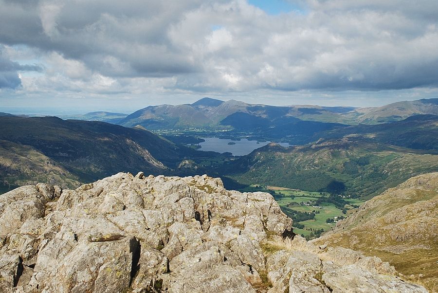
| Derwent Water and Borrowdale from the summit of Combe Head |
 |
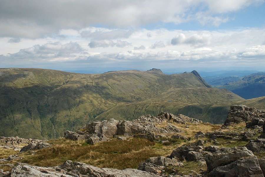
| The Langdale Pikes and the Coniston fells from the summit of Combe Head |
 |
| Bowfell from the summit of Combe Head |
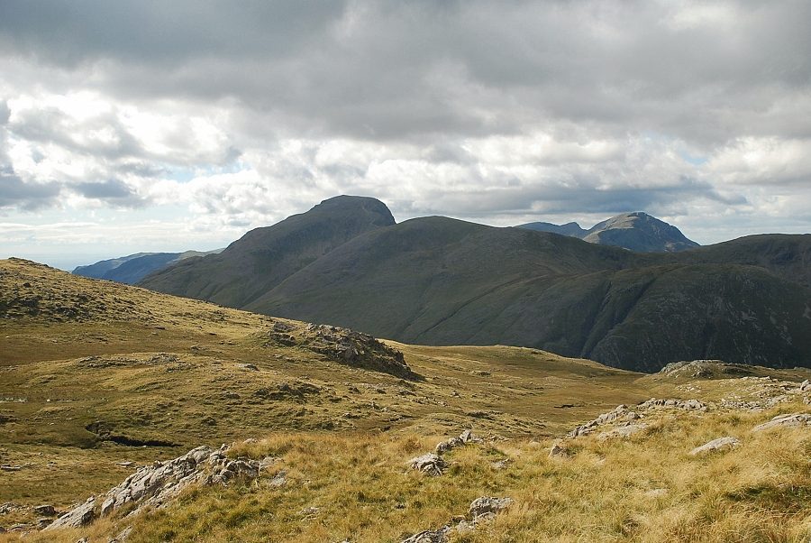 |
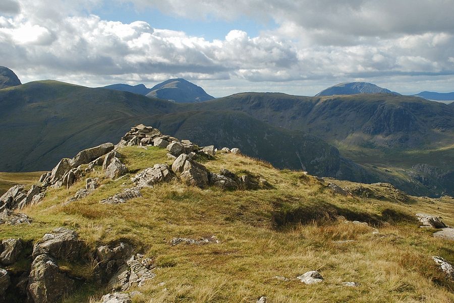
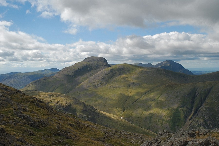
| Great Gable and Green Gable with Pillar on the right |
 |
| The summit of Glaramara from Combe Head |
 |
| Rejoining the main path to the summit of Glaramara |
 |
| Looking back to Combe Head from the path to Glaramara's summit |
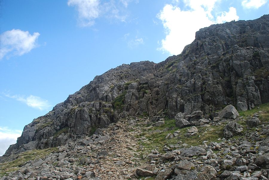 |
| A steep 20ft rock groove bars the direct route to the summit. Athough relatively easy its polished holds can be slippery when wet. It can be avoided by diverting to the right along a thin path at the base of the crags |
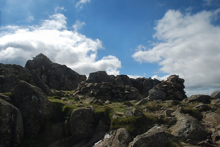 |
| The summit cairn and wind-shelter on Glaramara |
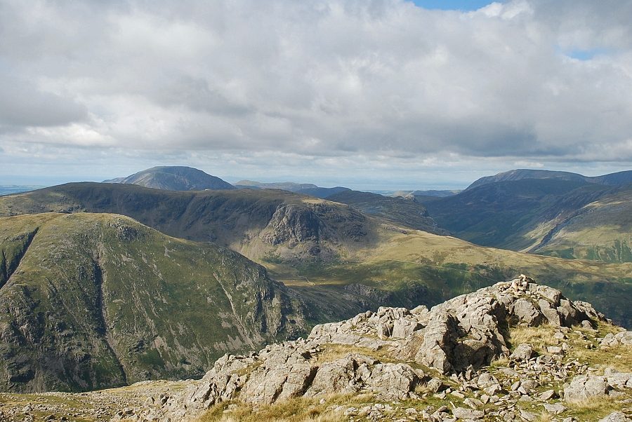 |
| High Stile over Base Brown and Brandreth on the left with Grasmoor on the right |
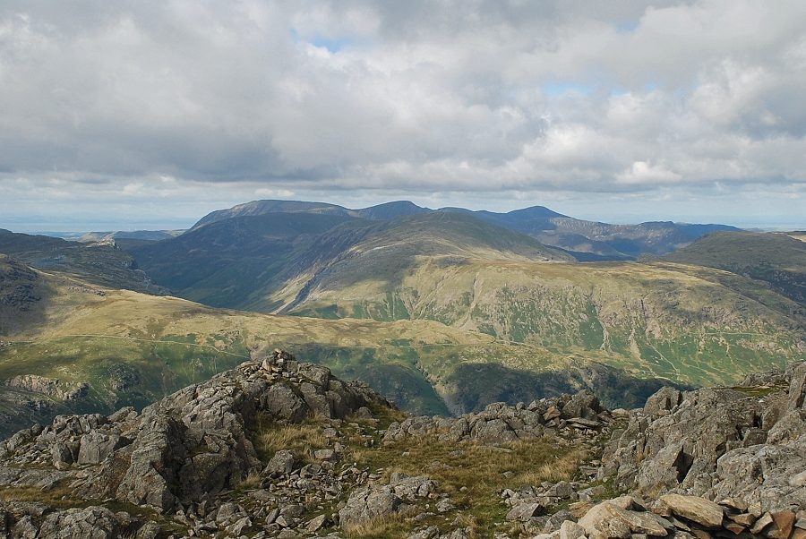 |
| The North Western Fells from the summit of Glaramara |
 |
| Skiddaw and Derwent Water from the summit of Glaramara |
 |
| Looking over Combe Head to Blencathra, Clough Head, Great Dodd, Stybarrow Dodd and Raise on the horizon |
 |
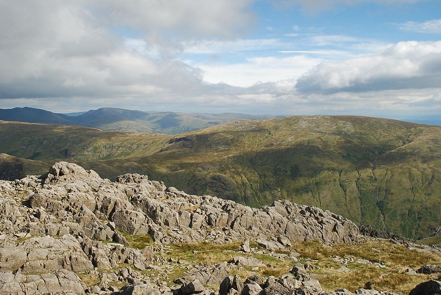
| Looking north-east over Ullscarf to the Helvellyn range |
 |
| High Raise with Dollywaggon Pike and Fairfield on the left horizon |
 |
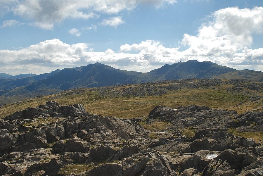
| The Langdale Pikes from the summit of Glaramara |
 |
| Bowfell and Esk Pike from the summit of Glaramara |
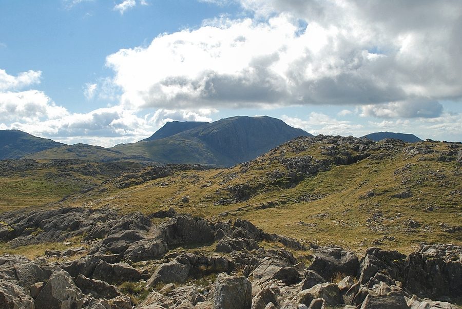 |
| Great End from the summit of Glaramara |
 |
| Great Gable, Green Gable and Pillar from the summit of Glaramara |
