
| Grange Fell - Route One |
| Start - Quayfoot NY 253 168 | Distance - 1.8 miles | Ascent - 1,350 feet | Time - 1 hour : 20 minutes |
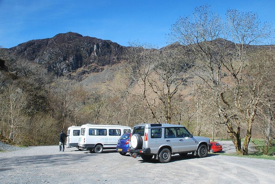 |
| The National Trust car park at Quayfoot Quarry is the starting point for this walk |
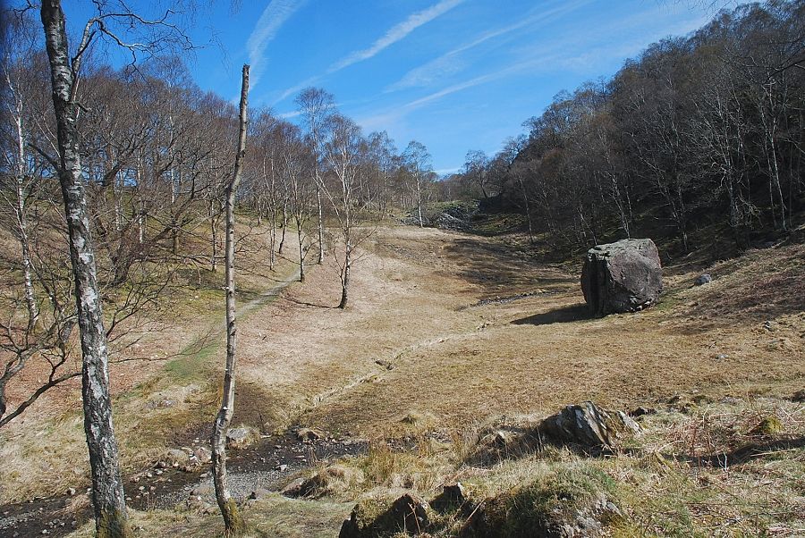 |
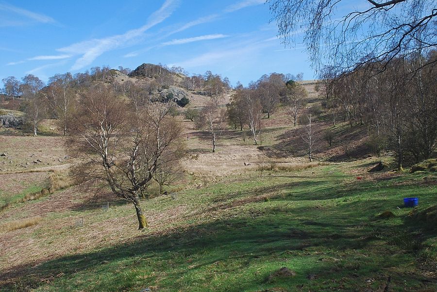
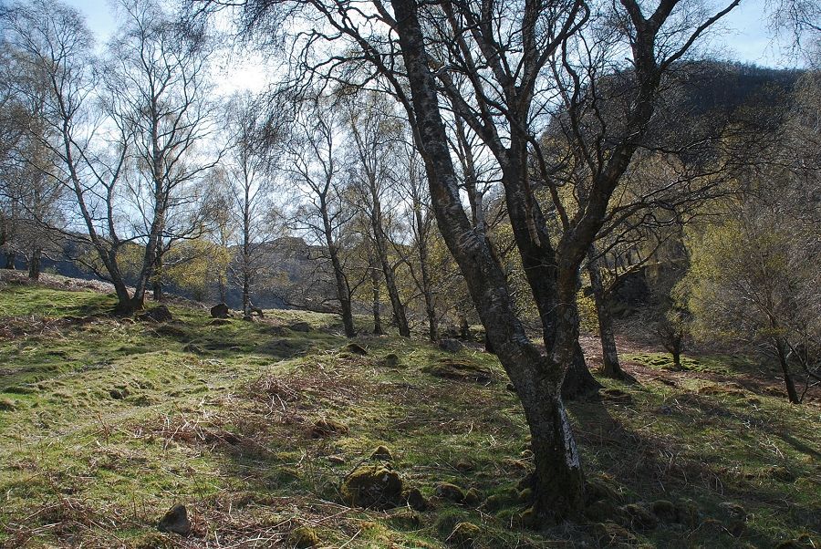
| A minor path starts from the hand-gate at the north end of the car park and passes a large erratic boulder as it climbs towards an old slate quarry |
 |
| Looking back to Castle Crag from the old slate quarry |
 |
| Looking over to Maiden Moor and Catbells |
 |
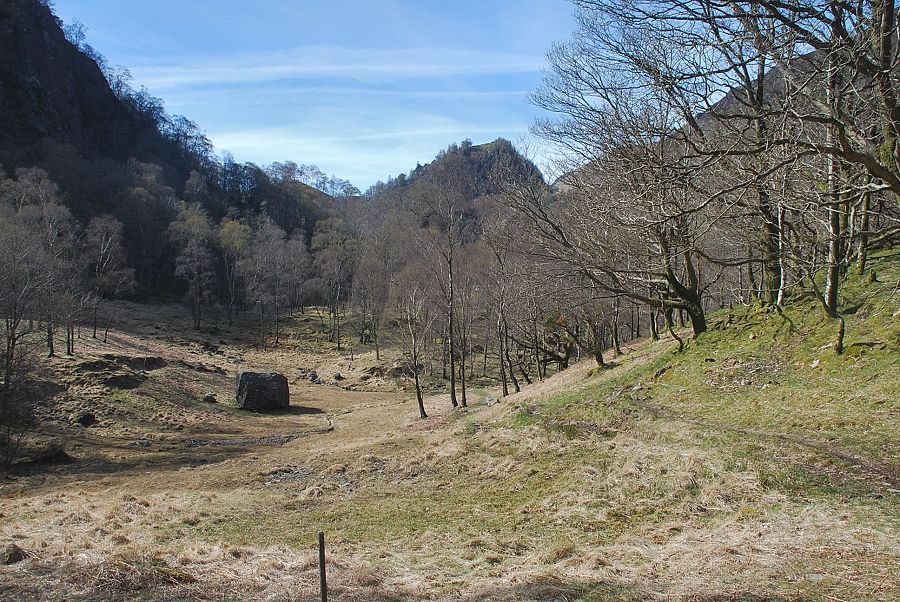
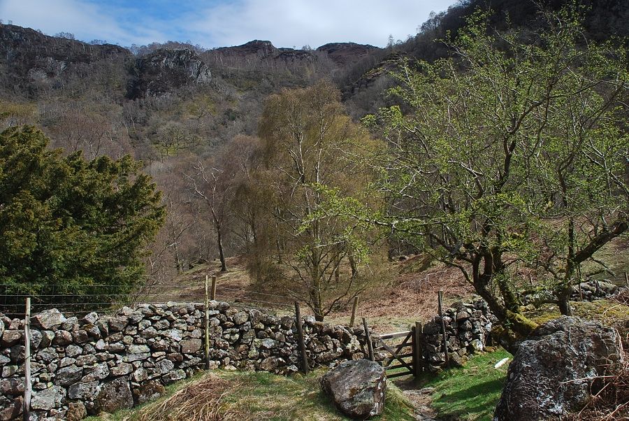
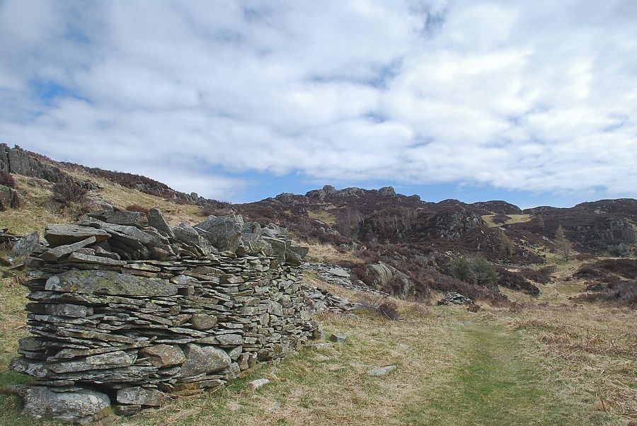
| From the old slate quarry the path joins a green bridleway which rises from the roadside near Grange |
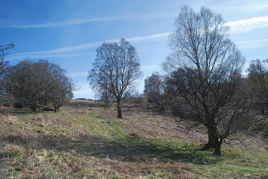 |
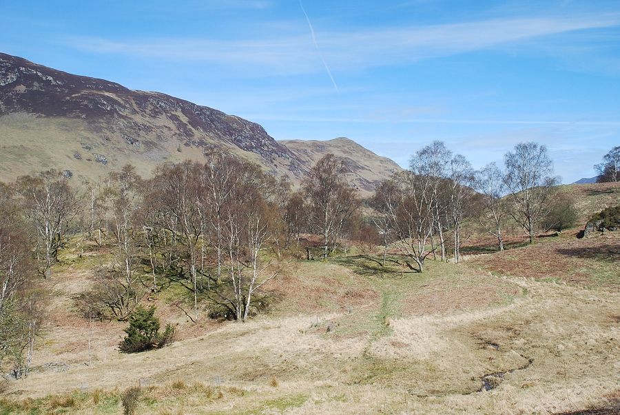
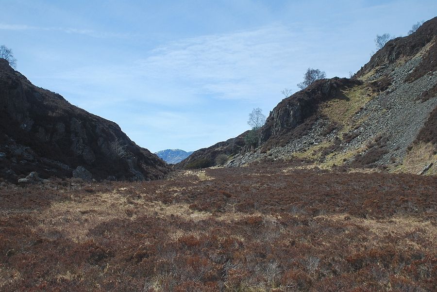
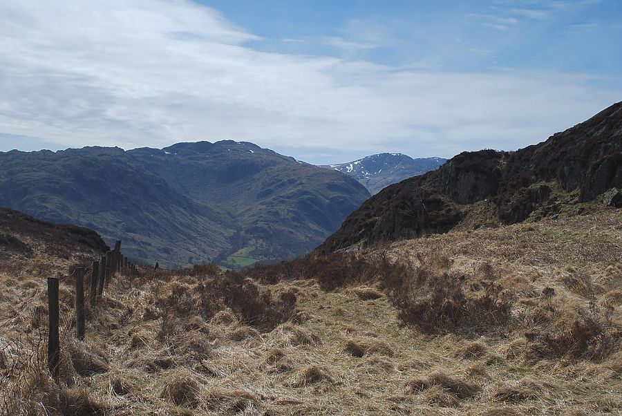
| The bridleway climbs to a saddle which overlooks Troutdale |
 |
| Looking over to Blea Crag |
 |
| Looking back to Castle Crag and Goat Crag |
 |
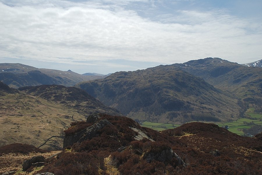
| Greatend Crag from the bridleway |
 |
| The path crosses the saddle and descends into the head of Troutdale via a hand-gate |
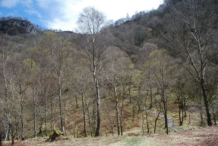 |
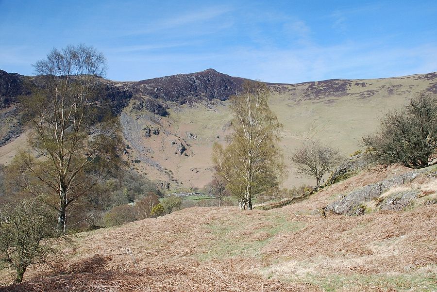
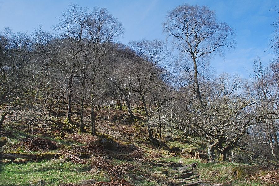
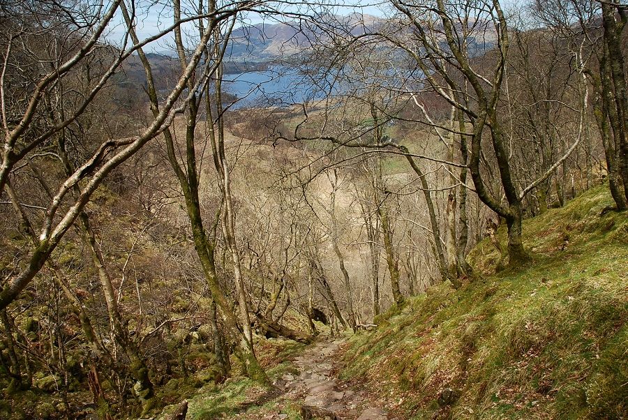
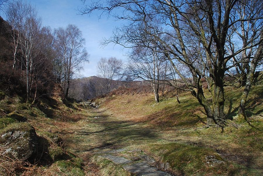
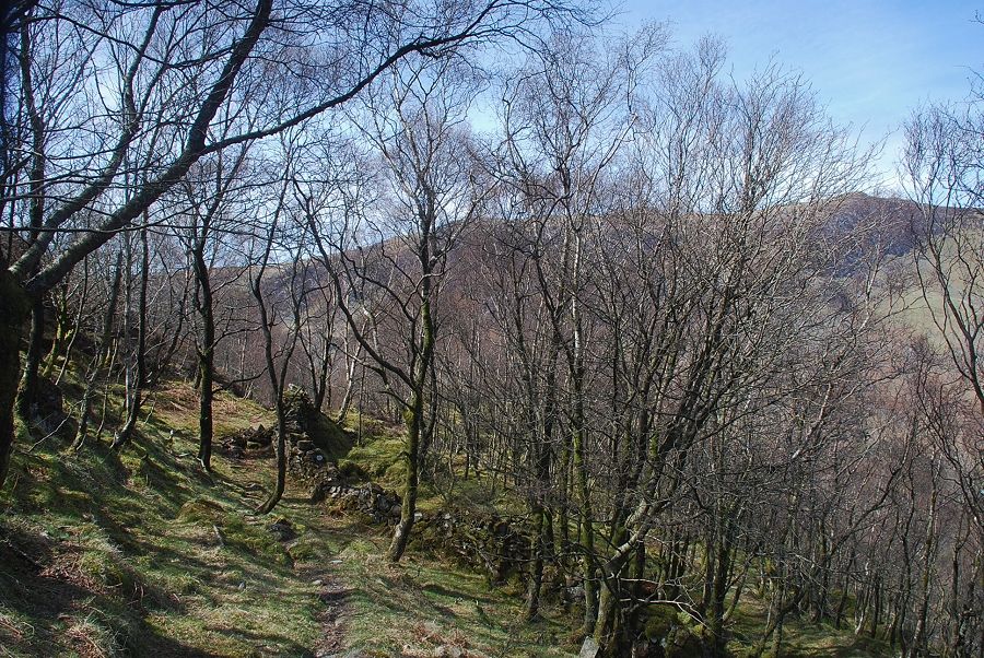
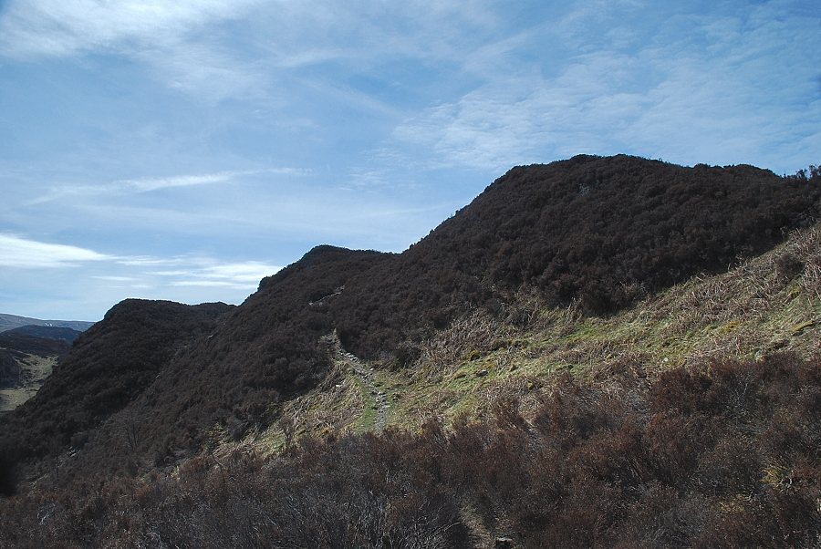
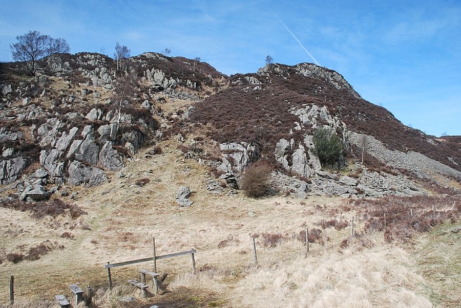
| A short distance from the hand-gate the path bears right and descends into the birch and oak woodland below Black Crag and Greatend Crag |
 |
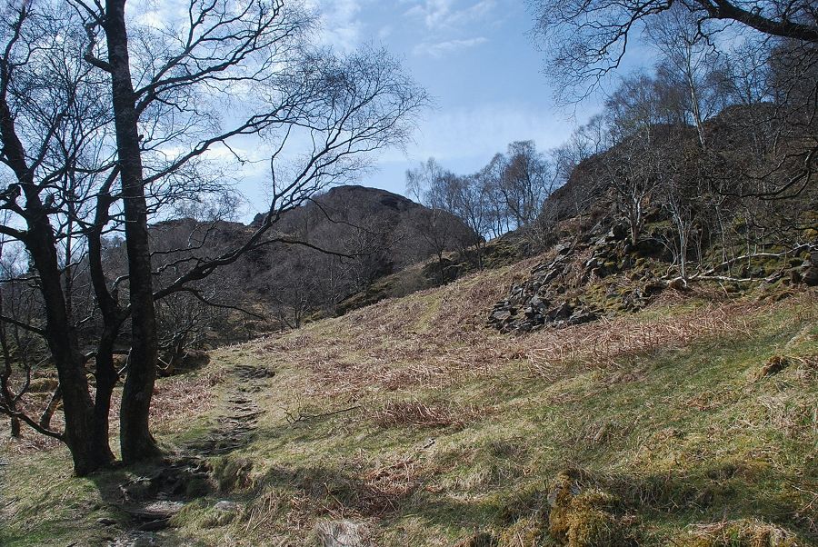
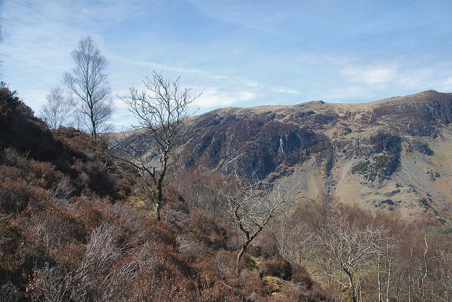
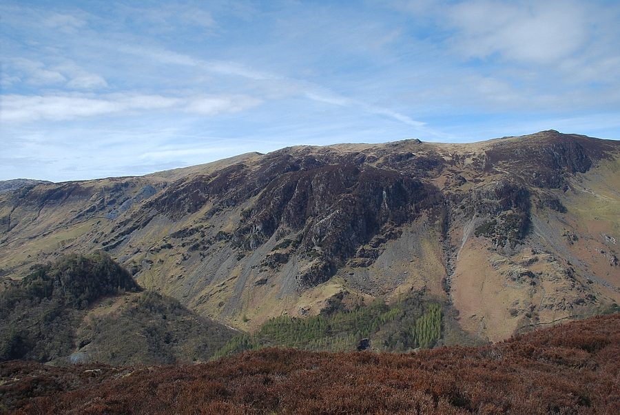
| Black Crag from the start of the climb through the woods |
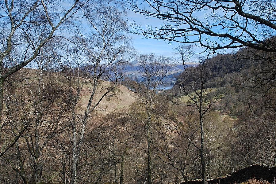 |
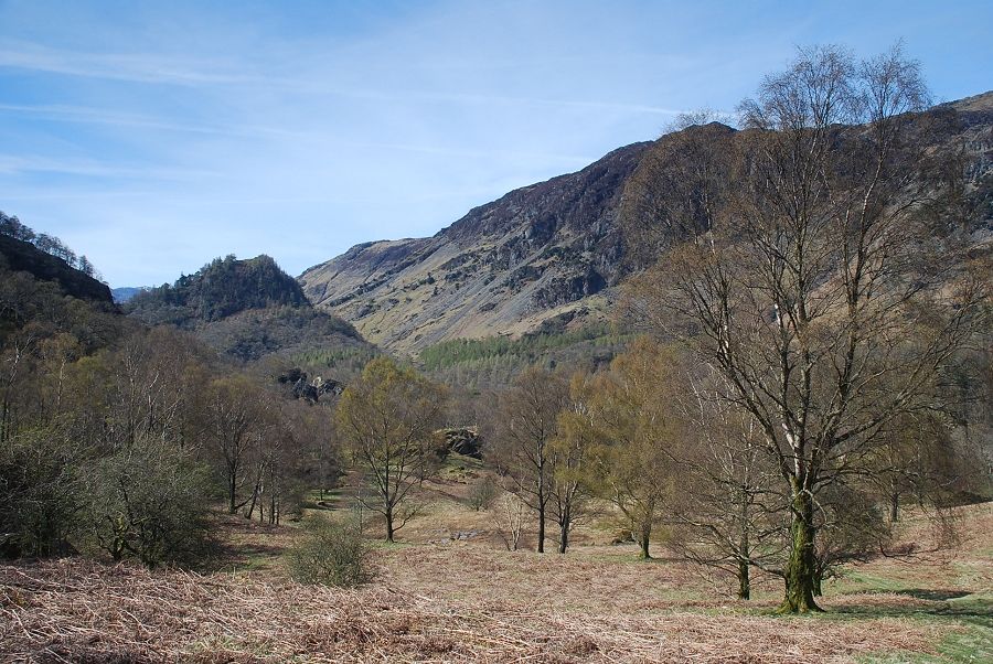
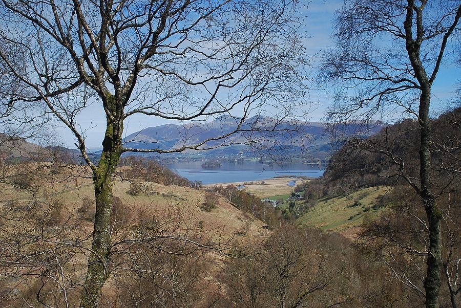
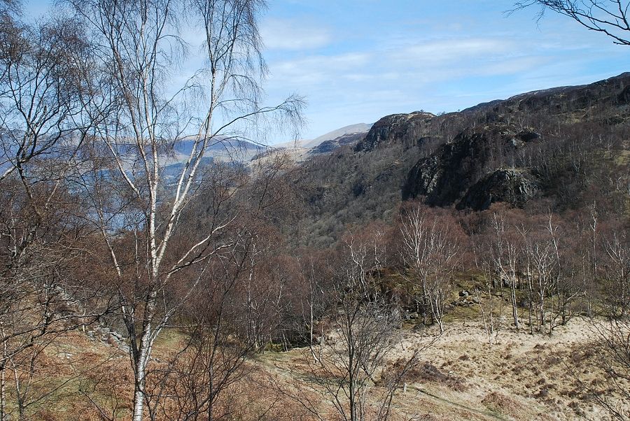
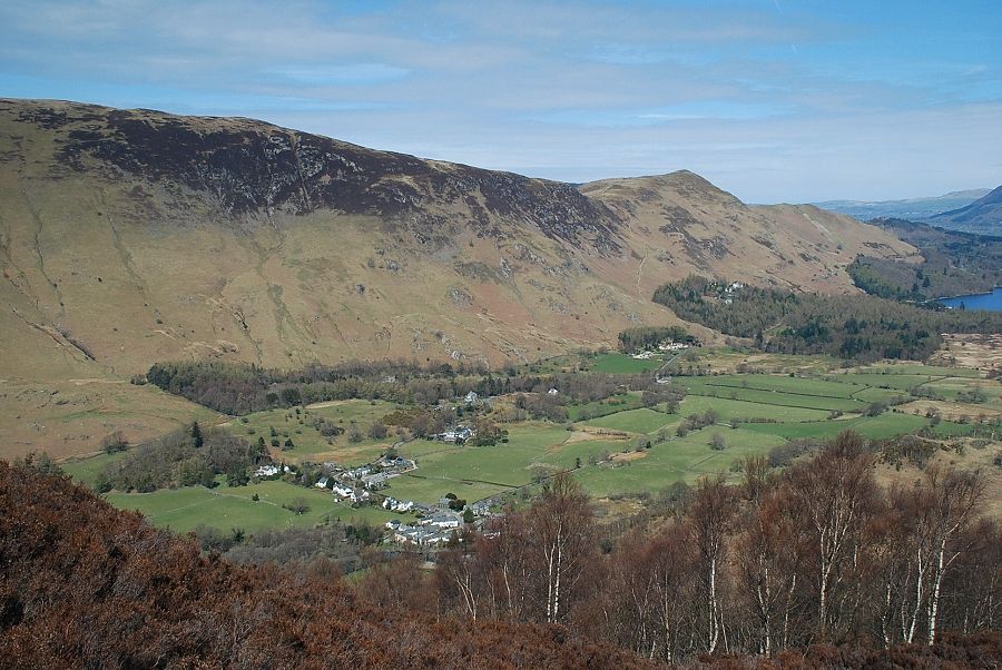
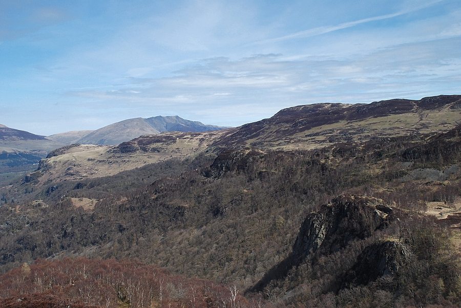
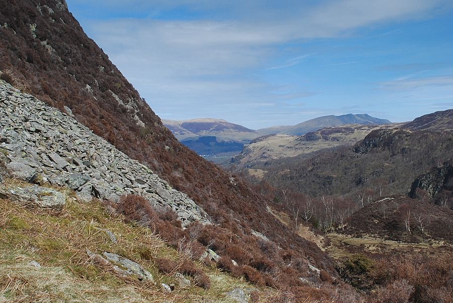
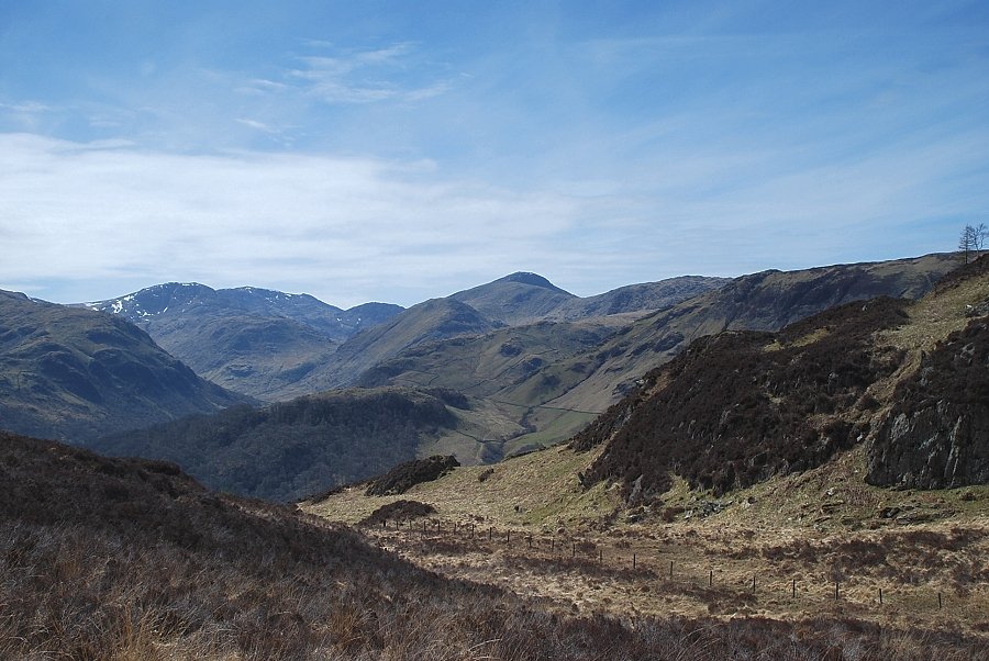
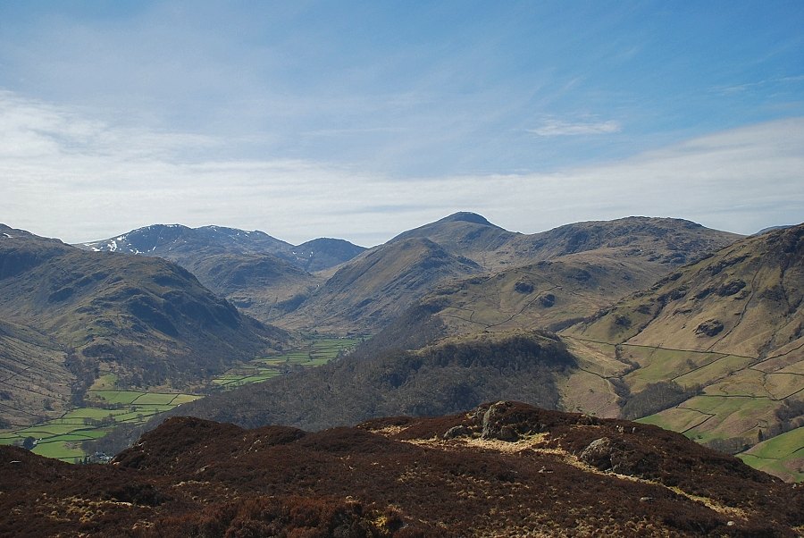
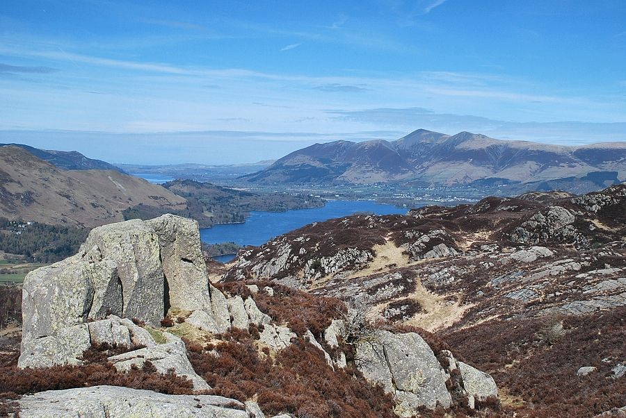
| Looking back along Troutdale to Skiddaw and Derwent Water |
 |
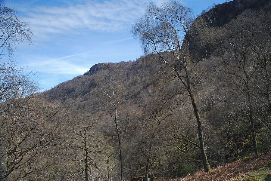
| Greatend Crag above the trees |
 |
| Looking back to Black Crag above Troutdale |
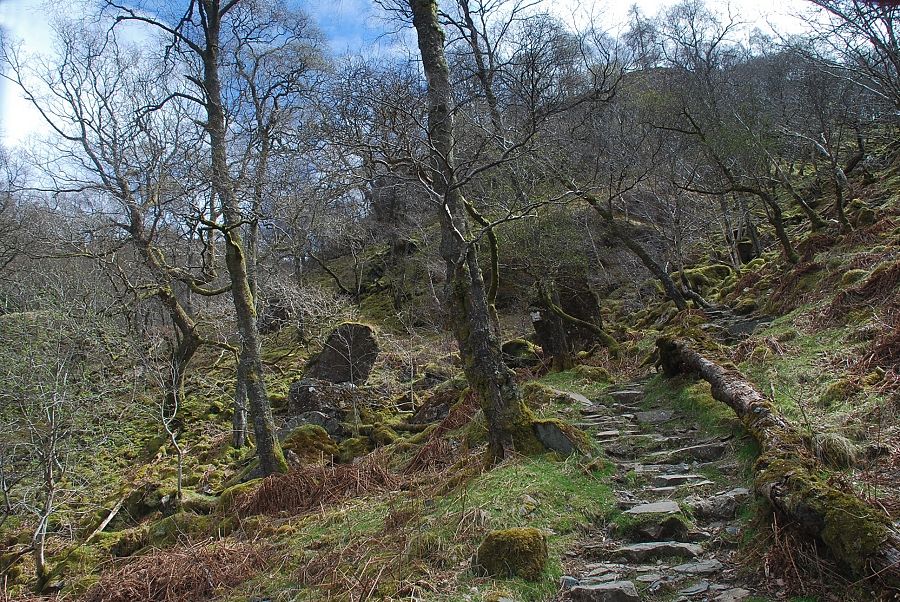 |
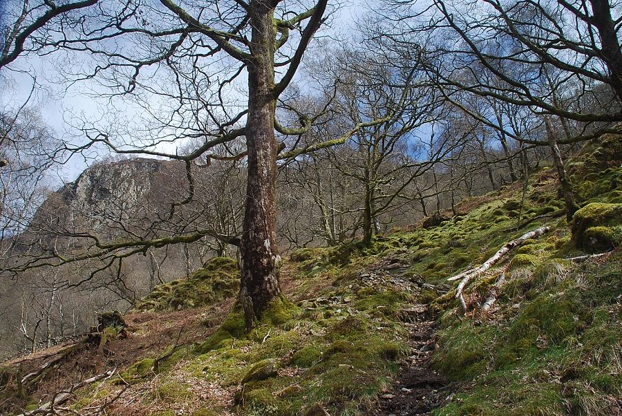
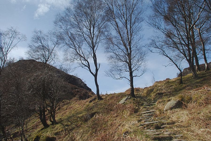
| The path begins to climb more steeply through the trees, winding its way up a stone gully to the left of Greatend Crag |
 |
| Looking back to Derwent Water and Skiddaw |
 |
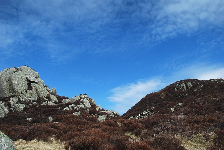
| Looking down from near the top of the gully |
 |
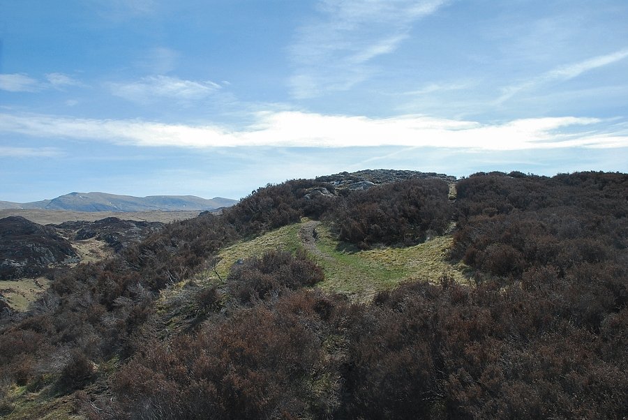
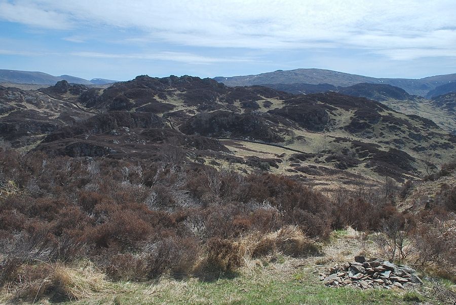
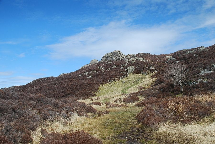
| King's How comes into view on the right as the path emerges from the confines of the gully |
 |
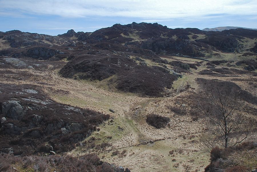
| The path continues on to join wire fence which it follows towards Low Moss |
 |
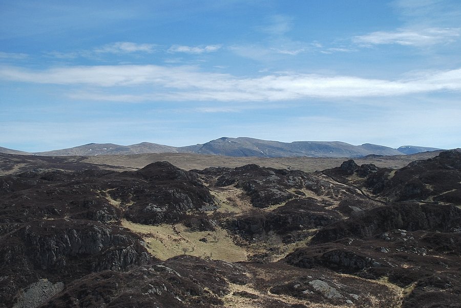
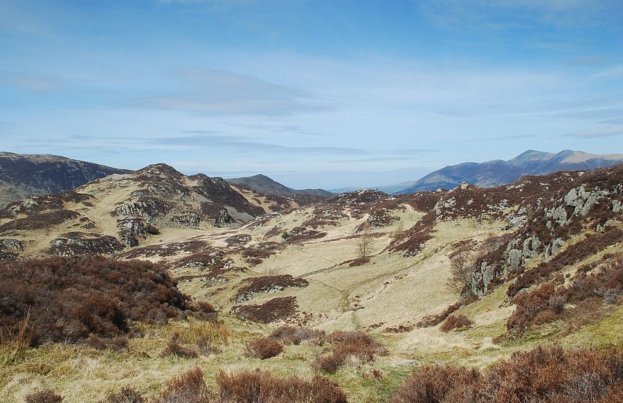
| Looking back from the path to Low Moss |
 |
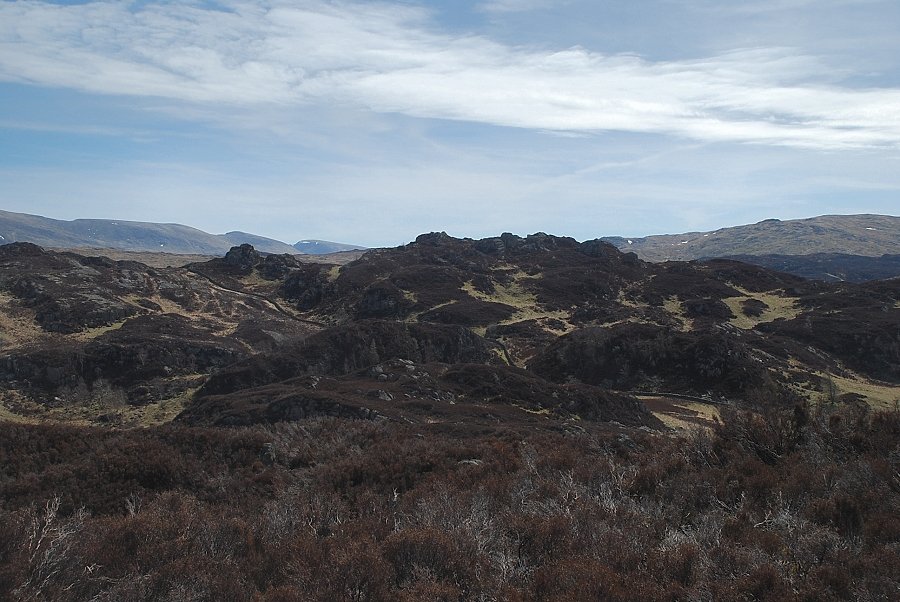
| Low Moss with the slopes of King's How on the right. The direct path to the summit of Grange Fell (Brund Fell) passes below the screes |
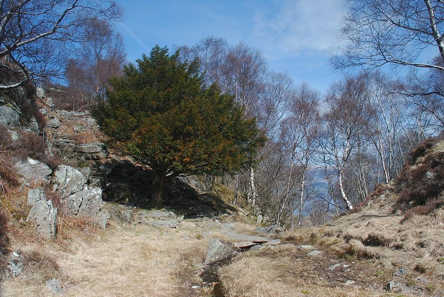 |
| The path to the summit of King's How keeps to the right of the moss. It passes a yew tree, which AW noted on his diagram of this ascent before climbing to a level shoulder between King's How and the top of Greatend Crag |
 |
| The path continues on across the level shoulder towards the Borrowdale face of King's How |
 |
| The path meets a cross-ridge wall which is follows for a short distance as it contours the slope above Borrowdale |
 |
|
Leave the wall when it reaches its highest point (it ends above a precipitous drop over Bowder Crag) and climb the heather slope above the wall on a clear path which leads to the summit of King's How |
 |
| Looking over to High Seat from the climb to King's How |
 |
| Looking back to Derwent Water |
 |
| The path to the summit of King's How |
 |
| Looking back to Maiden Moor and Catbells |
 |
| Brund Fell, the highest point of Grange Fell, comes into view |
 |
| High Raise and Pike o' Stickle |
 |
| The summit of King's How |
 |
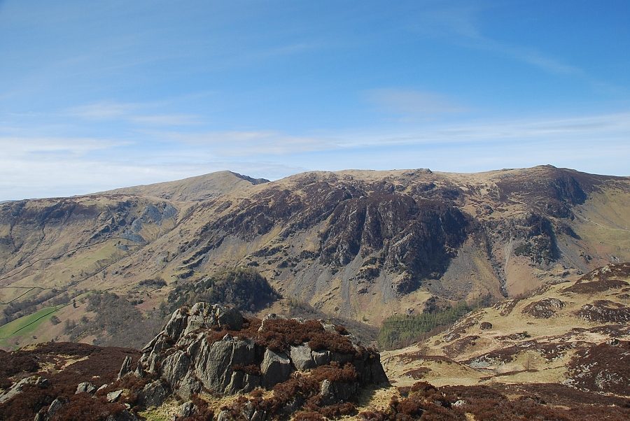
| High Spy from the summit of King's How with Castle Crag on the lower left |
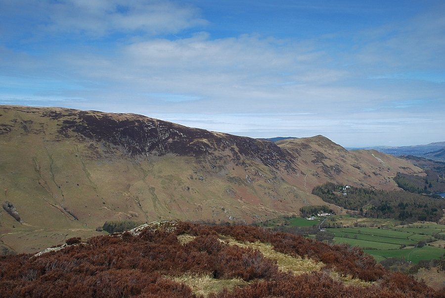 |
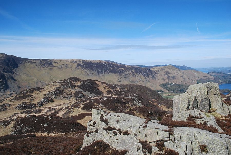
| Maiden Moor and Catbells from the summit of King's How |
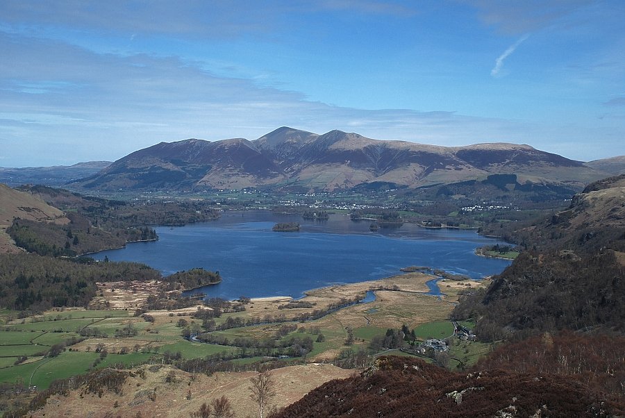 |
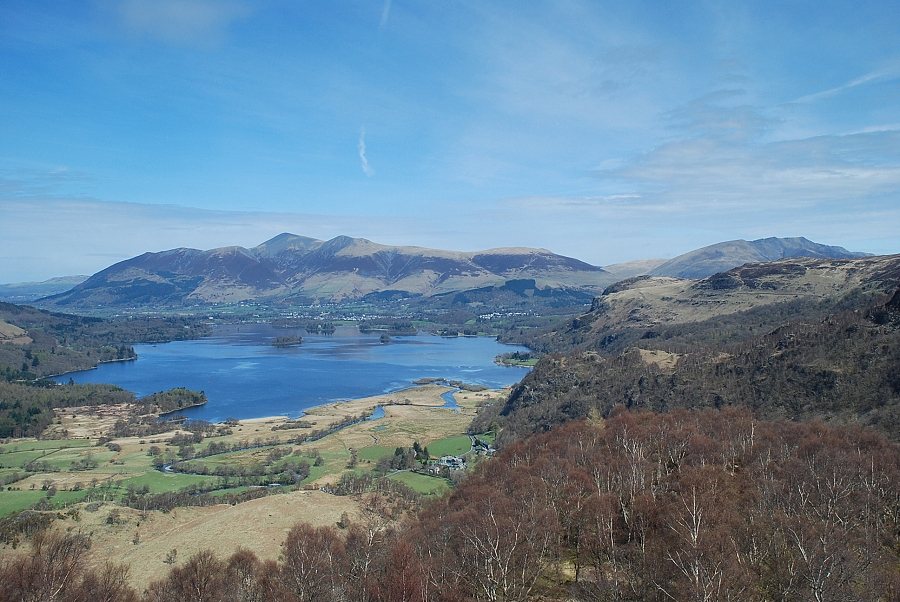
| Derwent Water and Skiddaw from the summit of King's How |
 |
| Blencathra with Walla Crag and Bleaberry Fell in the middle distance |
 |
| Raise, White Side, Helvellyn, Nethermost Pike, Dollywaggon Pike and Fairfield on the skyline |
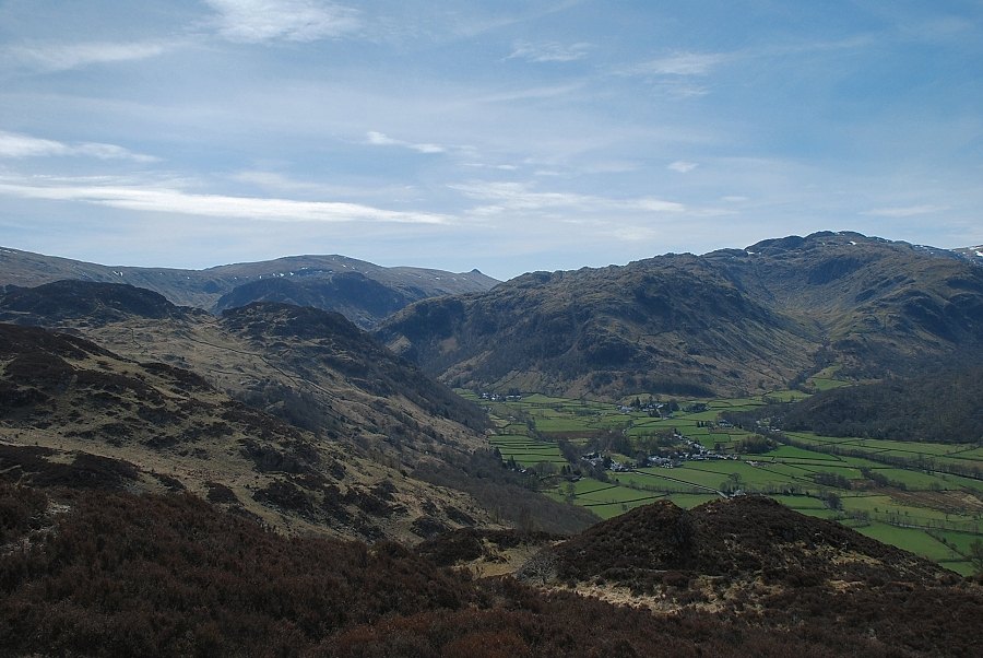 |
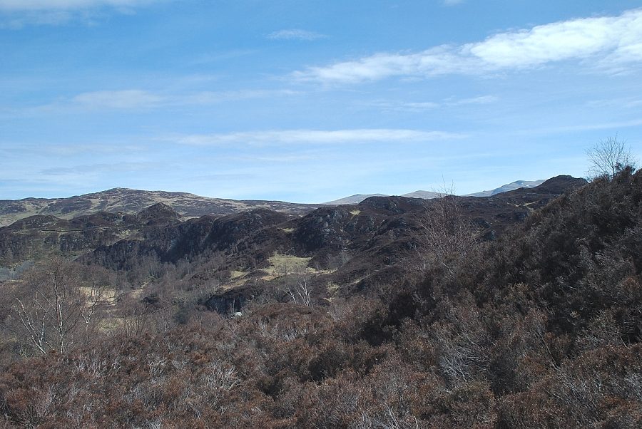
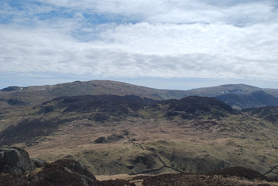
| Looking south, High Raise, Pike o' Stickle, Rosthwaite Fell and Glaramara form the horizon |
 |
| Great End and Scafell Pike on the left with Great Gable in the centre |
 |
| Continuing on towards Brund Fell, a small marker cairn below the summit of King's How indicates the start of path which descends a breach in the surrounding crags |
 |
| The path descends to Low Moss |
 |
| Lonscale Fell and Blencathra from the descent to Low Moss |
 |
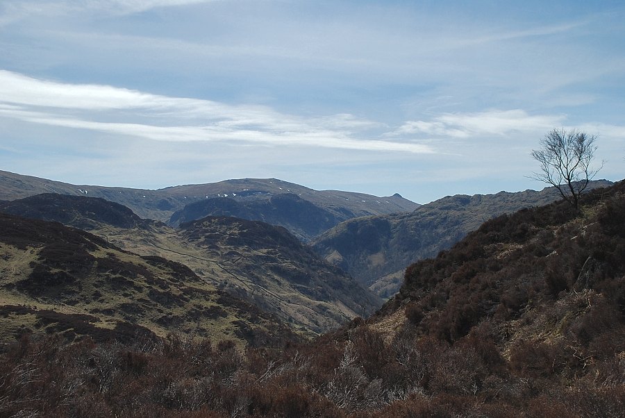
| Glaramara and Great End from Low Moss |
 |
| Looking back to King's How from Low Moss |
 |
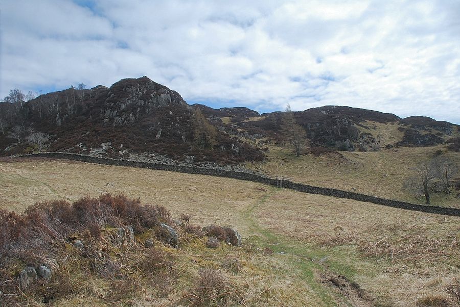
| Continuing on from Low Moss the path passes an old sheepfold with the rock tors of Brund Fell directly ahead |
 |
| Scafell Pike and Great Gable from the sheepfold |
 |
| The path rises to a ladder stile and climbs the slope to reach a level shoulder, well to the right of Brund Fell, where it joins the path from Rosthwaite |
 |
| Looking back to King's How from the level shoulder |
 |
| From the level shoulder the path makes an acute left turn and climbs towards the summit of Brund Fell |
 |
| Approaching the summit of Brund Fell |
 |
| The summit has two outcrops of rock which appear to be be similar height and each have their own merit as viewpoints. Ullscarf above Great Crag fom the south top, with High Raise above Eagle Crag and Sergeant's Crag on the right |
 |
| Rosthwaite Fell and Glaramara from the south top of Brund Fell |
 |
| Scafell Pike and Great Gable from the south top of Brund Fell |
 |
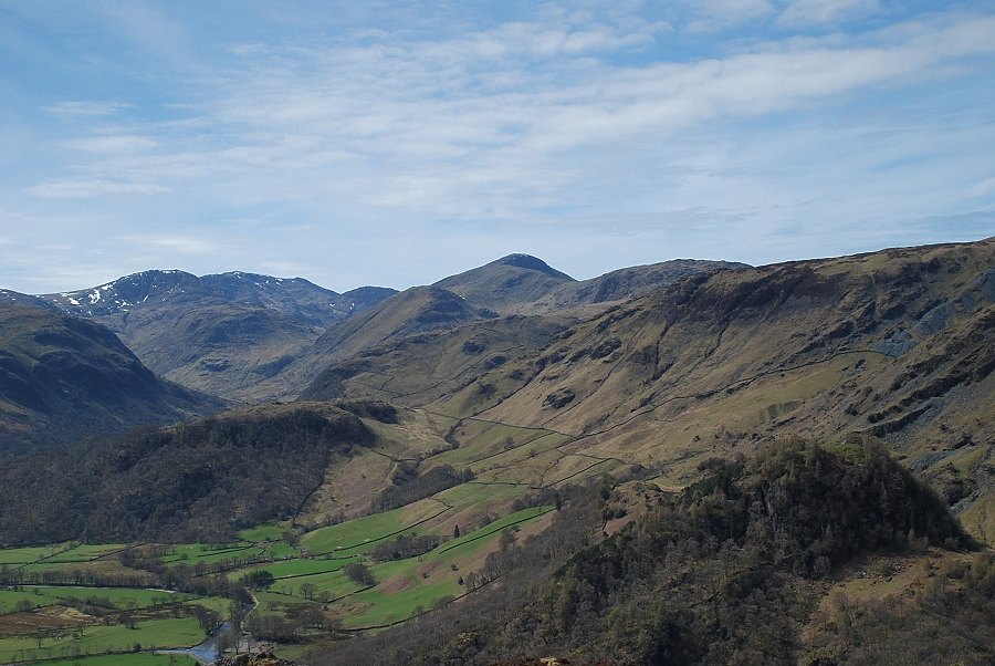
| Dale Head and High Spy from the south top of Brund Fell |
 |
| King's How from the south top of Brund Fell |
 |
| Derwent Water and Skiddaw |
 |
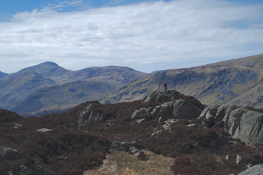
| Blencathra, Bleaberry fell and High Seat from the south top of Brund Fell. The walker is approaching the north top in the extreme right foreground |
 |
| From the north top, Raise and White Side over High Tove in the centre, with Helvellyn and Nethermost Pike on the right |
 |
| The south top of Brund Fell from the north top |
|