
| Grasmoor - Route One |
| Start - Lanthwaite Green NY 159 207 | Distance - 1.25 miles | Ascent - 2,280 feet | Time - 1 hour 40 minutes |
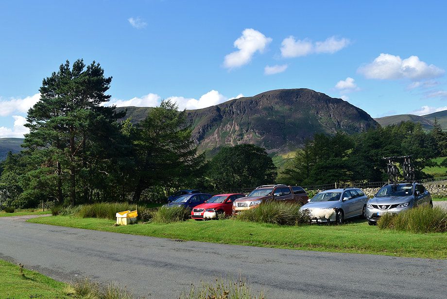 |
| The small car park beside Lanthwaite Green Farm is the starting point for this walk |
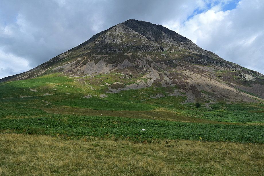 |
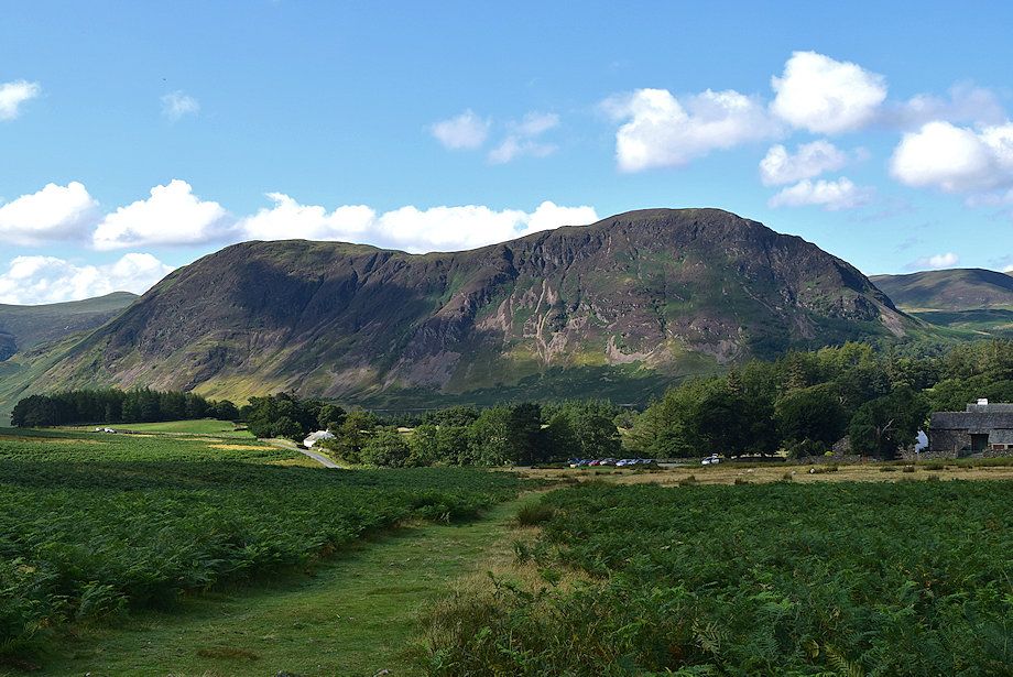
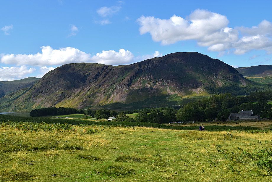
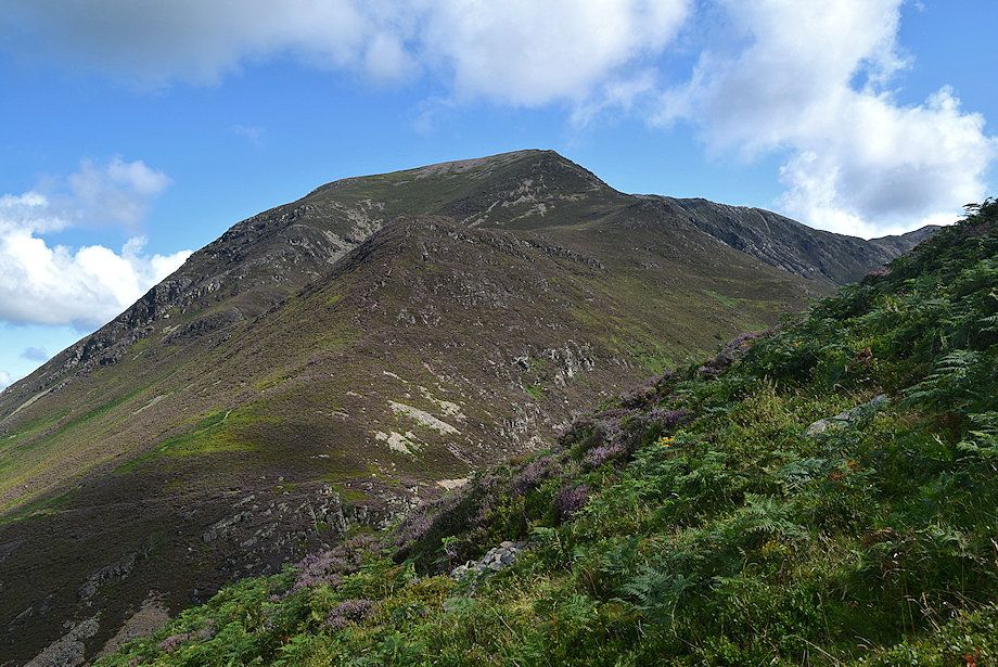
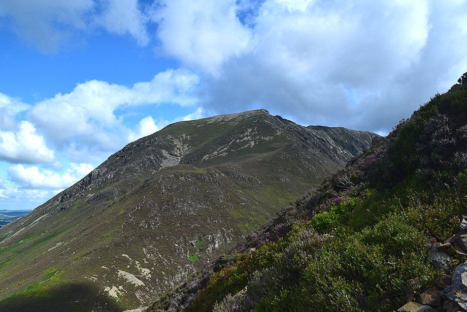
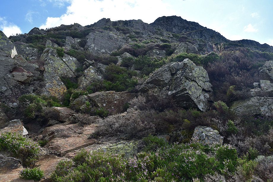
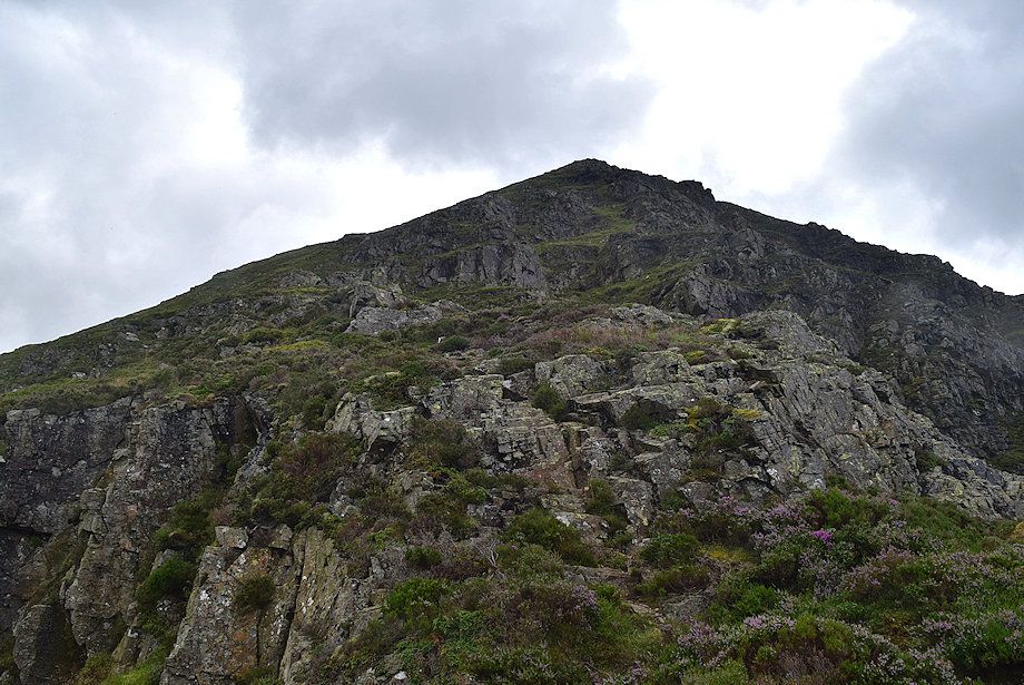
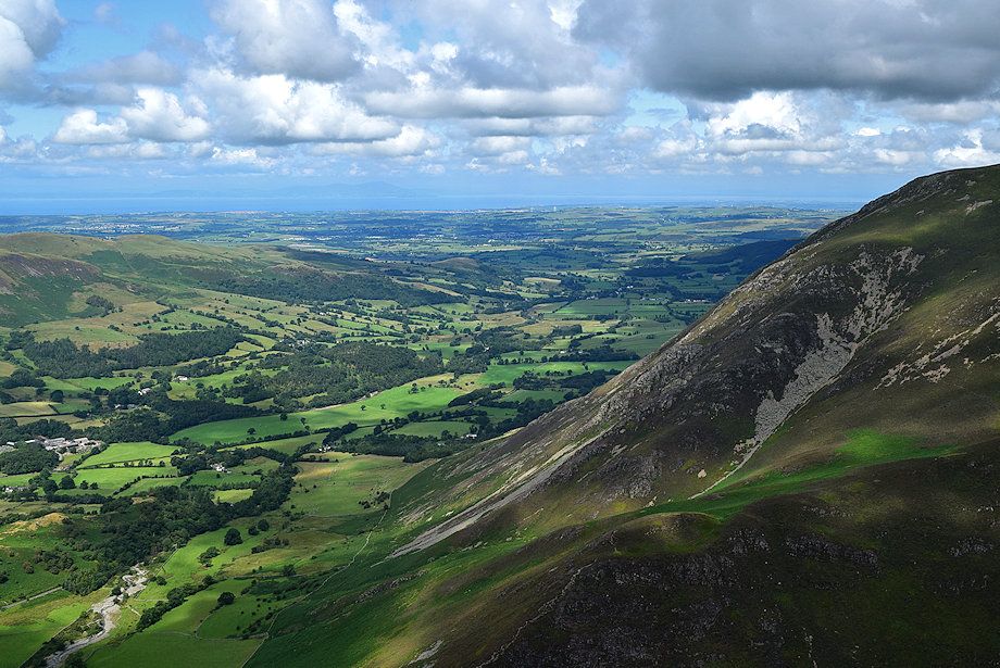
| The west face of Grasmoor End from the car park. The deep cleft of Lorton Gully is the most prominent feature, rising right to left across the face, it presents a very challenging grade 3 scramble (although I would tend to rate it higher as a 3s). To the left of the gully a wide area of heather and crags lead up to a pinnacle and provides a much easier line of ascent. The route generally climbs the left side of the crags to the pinnacle and then follows a curving ridge above the head of Lorton Gully to reach the grassy top of Grasmoor End |
 |
| High Stile and Red Pike from the start of the walk |
 |
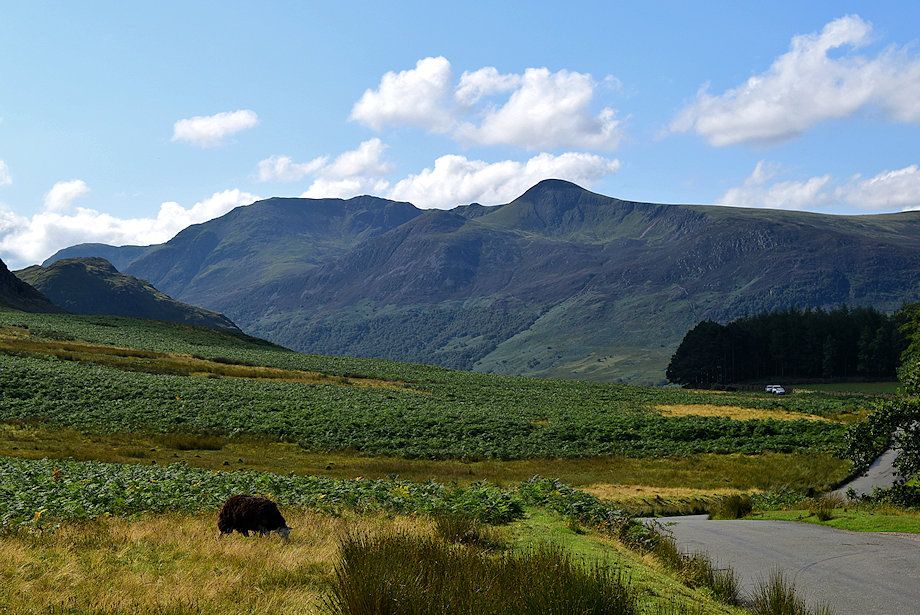
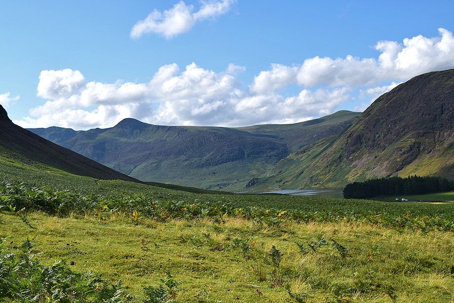
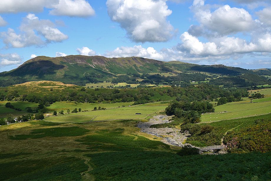
| Whiteside and Whin Ben from the start of the walk. A wide path leads across the open common towards a footbridge which crosses Liza Beck |
 |
| Looking back to the car park backed by Mellbreak |
 |
| Looking over to Low Fell and Fellbarrow |
 |
| Just before the path begins to descend to the footbridge turn south-east onto a path which climbs a gentle slope towards Grasmoor End |
 |
| The path leading up towards Grasmoor End |
 |
| Looking back to Mellbreak with Lanthwaite Green Farm on the right |
 |
| Red Pike from the path to Grasmoor End |
 |
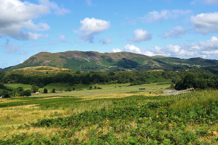
| Looking back to the Loweswater Fells - namely Gavel Fell, Blake Fell and Burnbank Fell |
 |
| The path leads up towards a lighter tongue of scree which indicates the line of ascent |
 |
| Looking back to Low Fell and Fellbarrow, the footbridge over Liza Beck can be seen on the lower right |
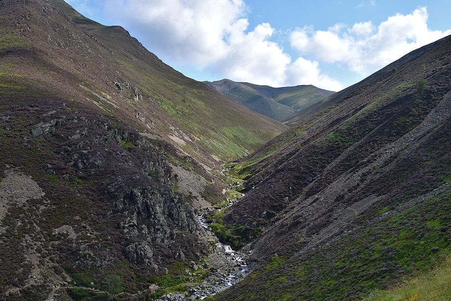 |
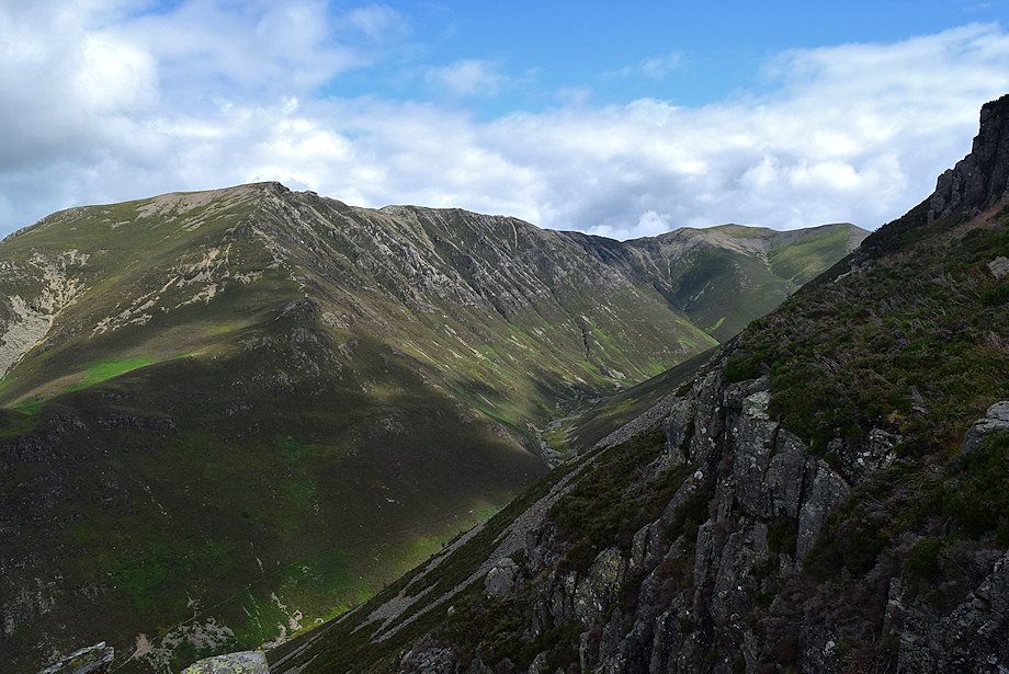
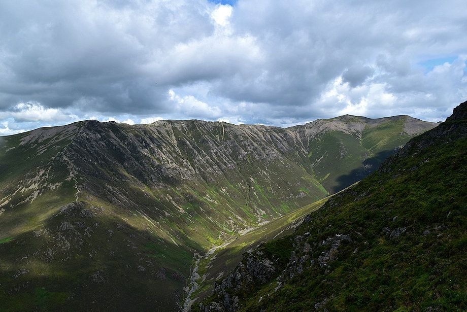
| Gasgale Gill with Hopegill Head and Sand Hill at its head |
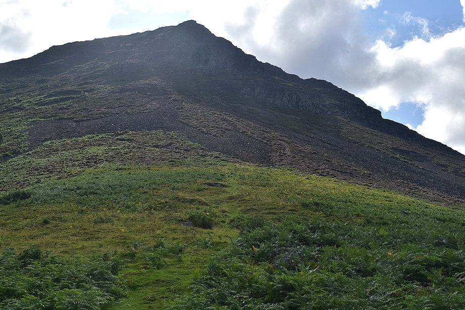 |
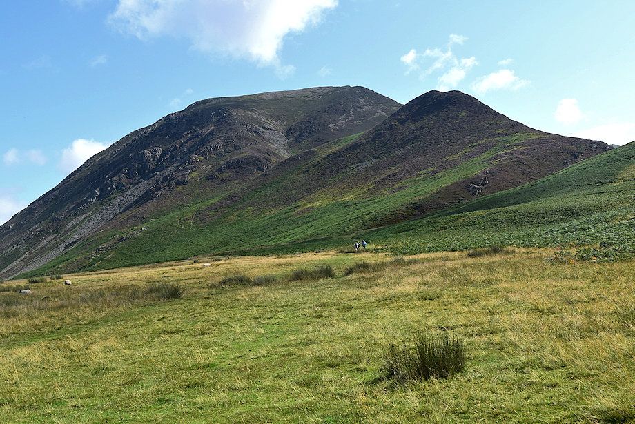
| Approaching the heather and scree slope below the crags of Grasmoor End |
 |
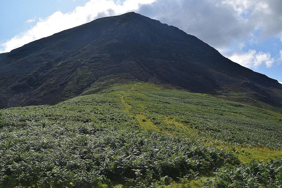
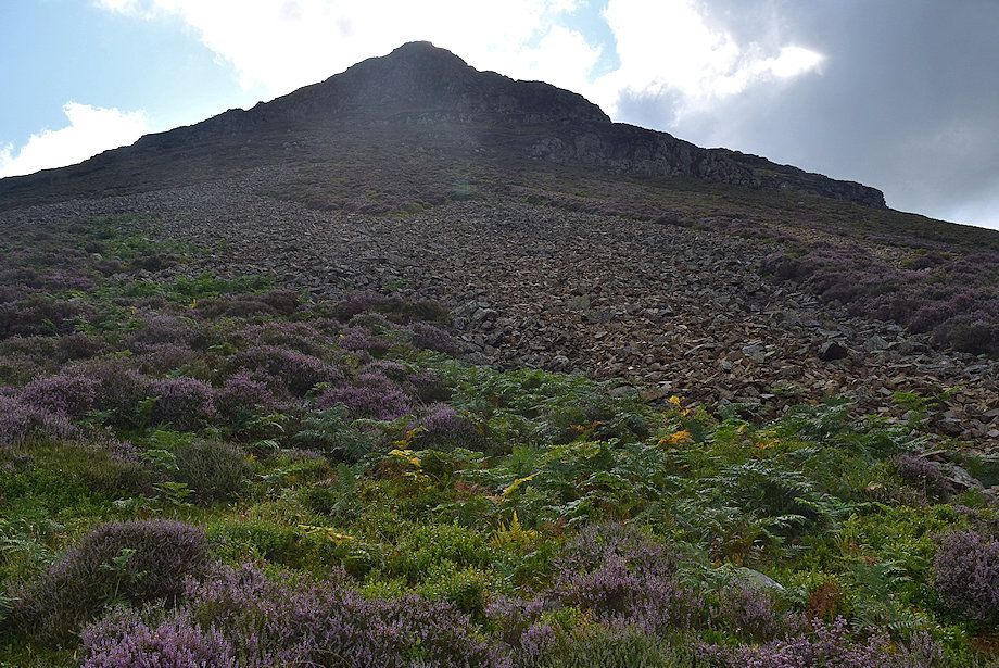
| The start of the scree path - where the hard work begins ! |
 |
| Looking over to Whiteside above Whin Ben |
 |
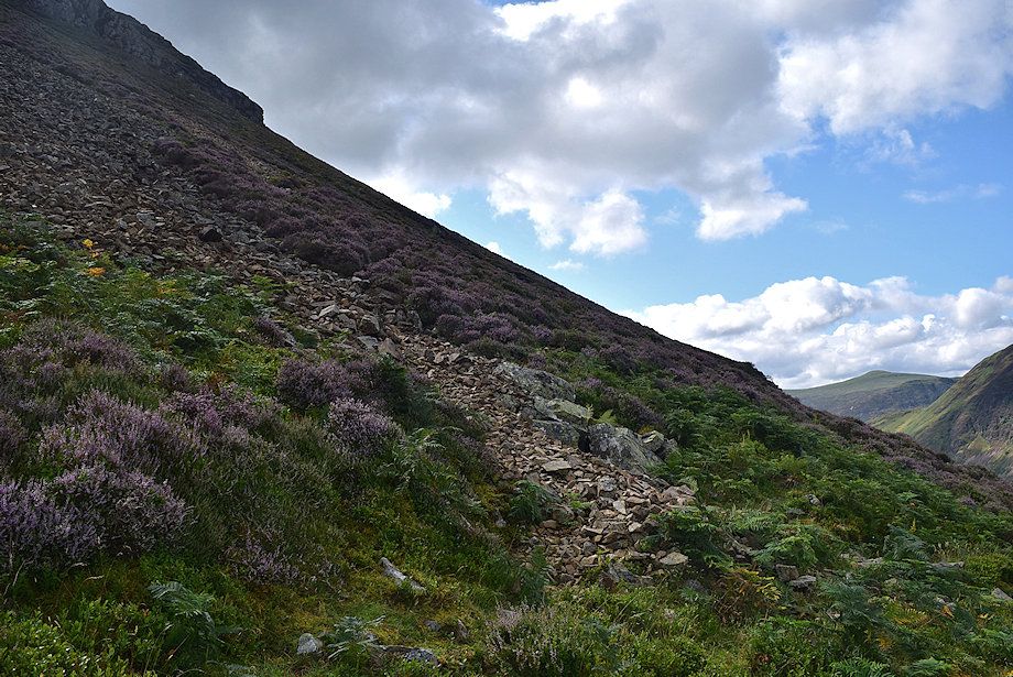
| There's no need to struggle directly up the wide expanse of sliding scree, it's easier to traverse across it and climb the heather slopes on the right |
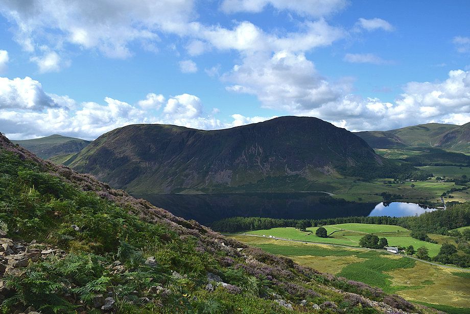 |
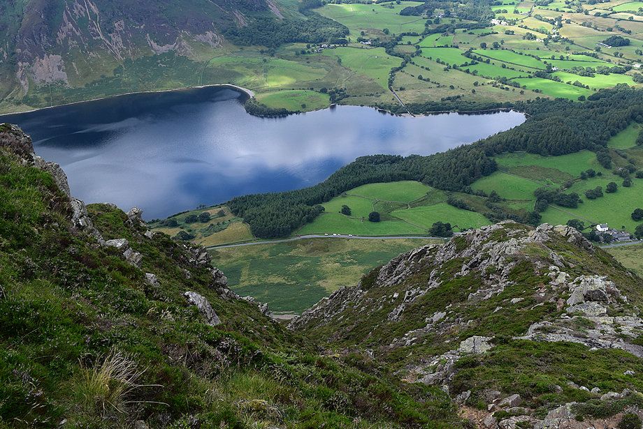
| Mellbreak across Crummock Water |
 |
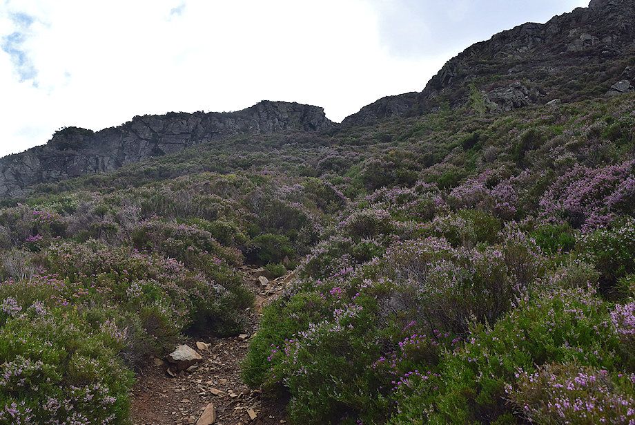
| The path through the heather which is much steeper than it appears in the photo |
 |
| The view across the slope to Whiteside gives an idea of its steepness |
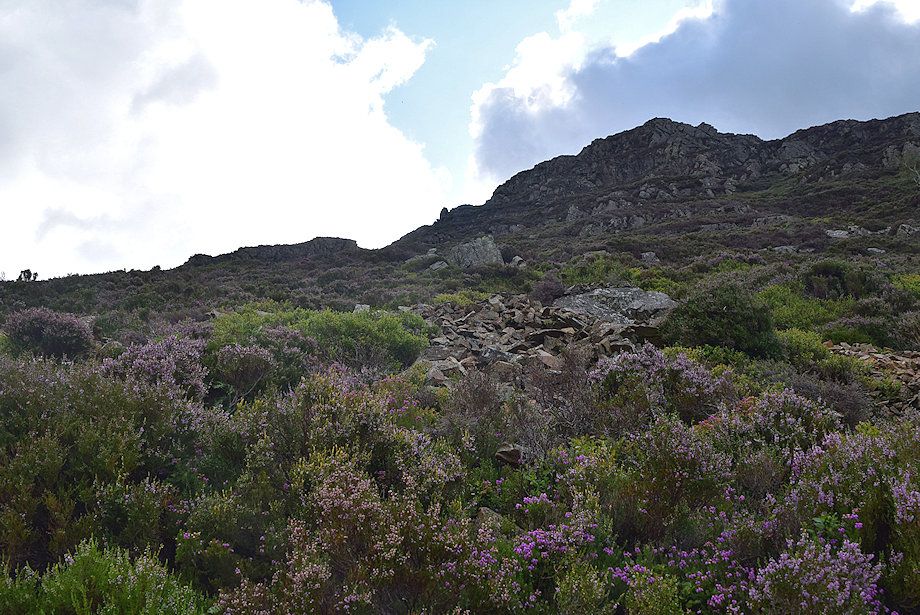 |
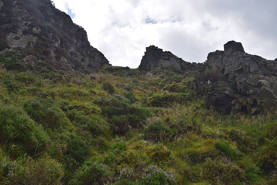
| The first objective is to gain a rock gateway between the buttresses of the lower crags, it lies to the left of the prominent block on the skyline |
 |
| Looking back to the Loweswater Fells |
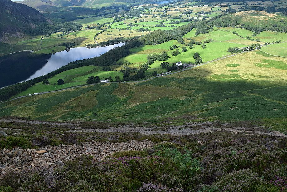 |
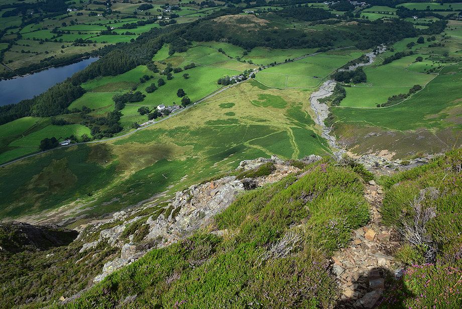
| Looking down to Lanthwaite Green |
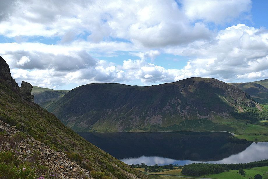 |
| Mellbreak reflected in Crummock Water |
 |
| Approaching the rock gateway |
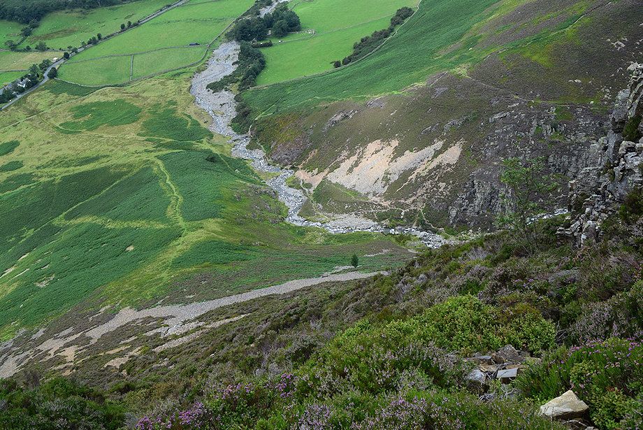 |
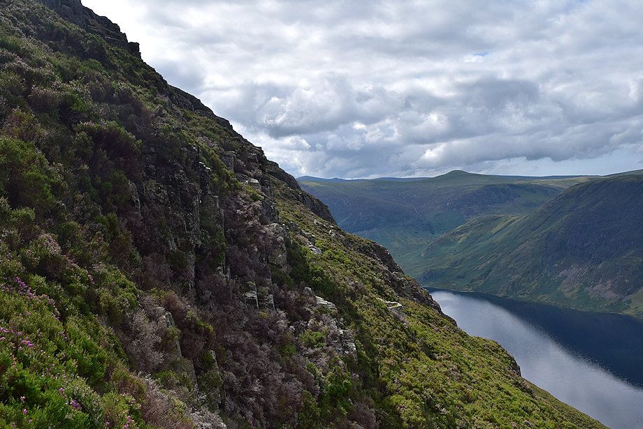
| Looking down to Liza Beck from the rock gateway |
 |
| The north top of Mellbreak from the rock gateway |
 |
| From the rock gateway a wide grass rake leads up to a level terrace above the lower crags and affords a fine viewpoint |
 |
| Looking across to the Loweswater Fells from the grass rake |
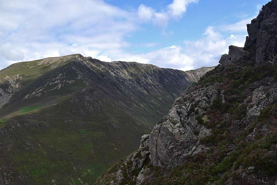 |
| The Whiteside ridge from the grass rake |
 |
| Looking down the grass rake from the terrace |
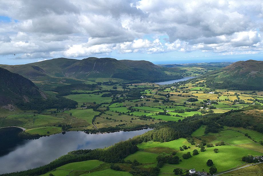 |
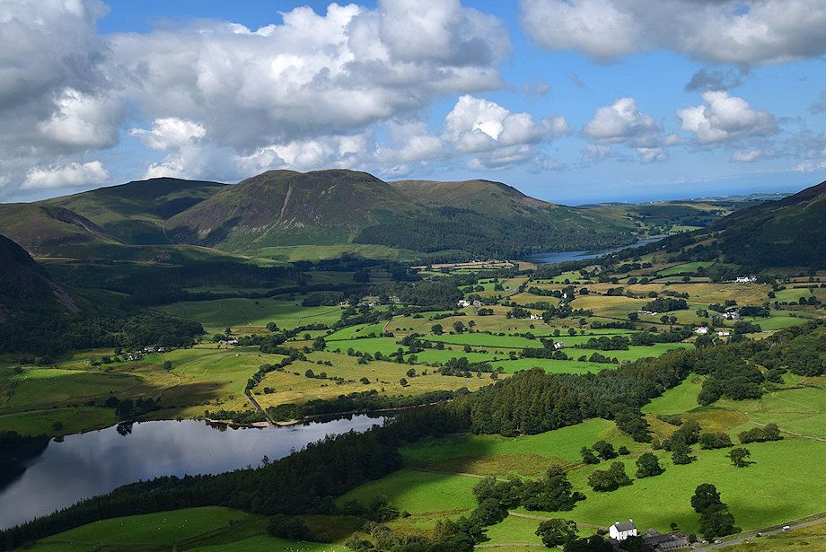
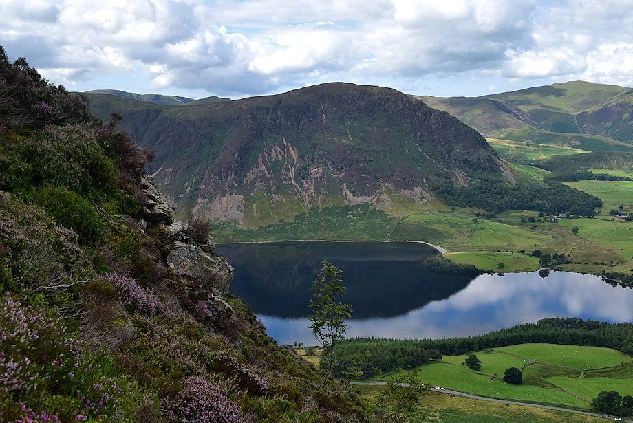
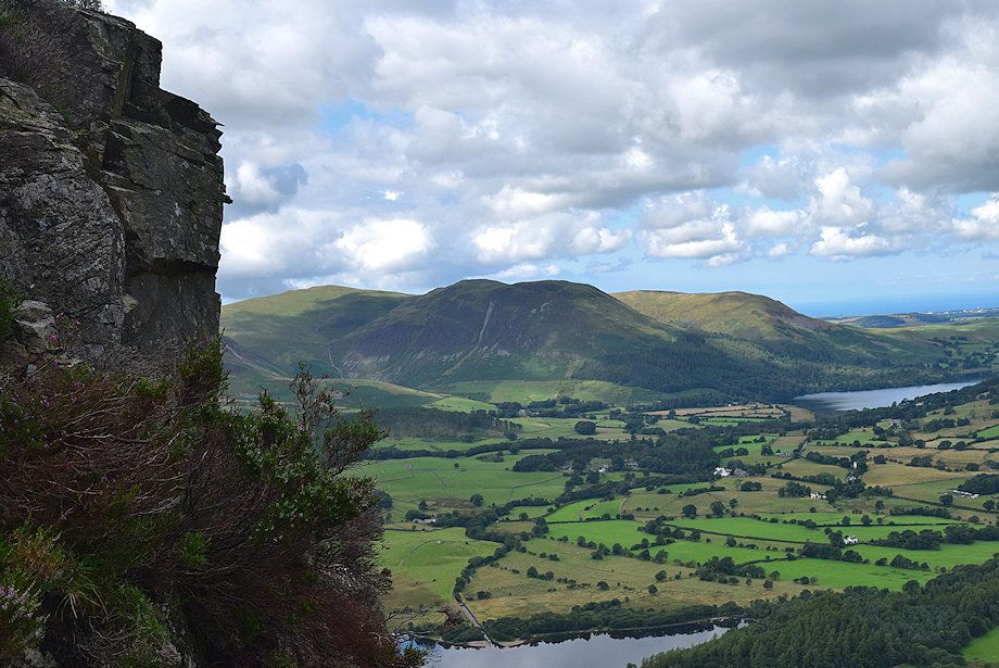
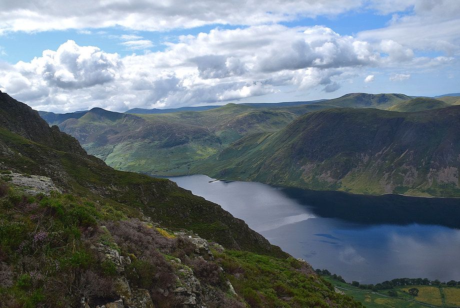
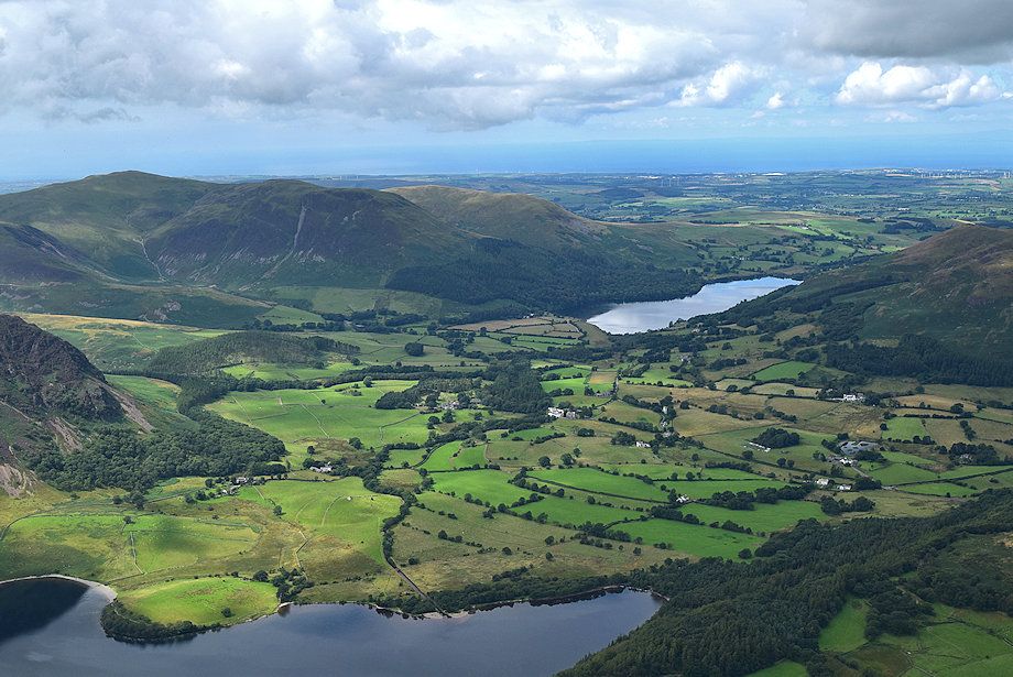
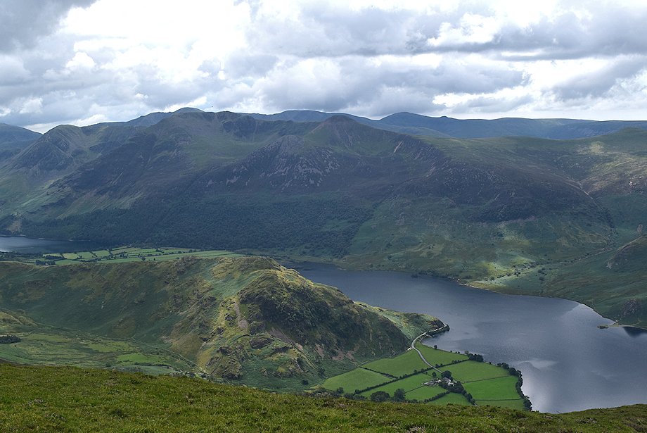
| Crummock Water and Loweswater from the terrace |
 |
| Whiteside and Hopegill Head from the terrace |
 |
| Inviting paths lead left and right across the level terrace but they are of no use for this ascent and only lead to difficult ground. The true path lies straight ahead along a shattered ridge towards the base of the pinnacle which can be seen on the upper right of the photo |
 |
| Looking back to the terrace |
 |
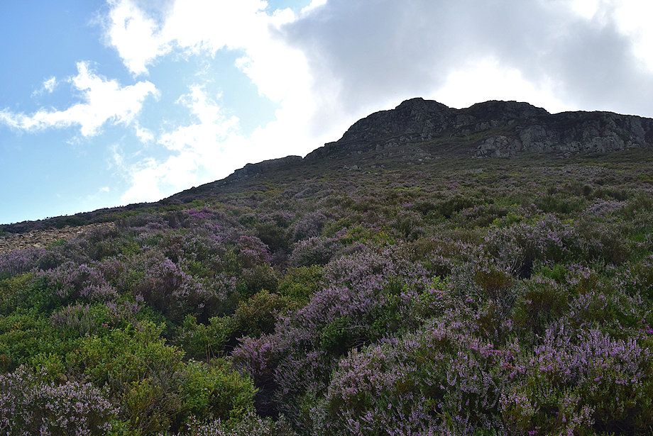
| Easy scrambling along the ridge leads up to the base of the pinnacle |
 |
| Looking over to Starling Dodd |
 |
| Approaching the base of the pinnacle, the more difficult scramble to reach its top can be avoided by a path which traverses left into a gully |
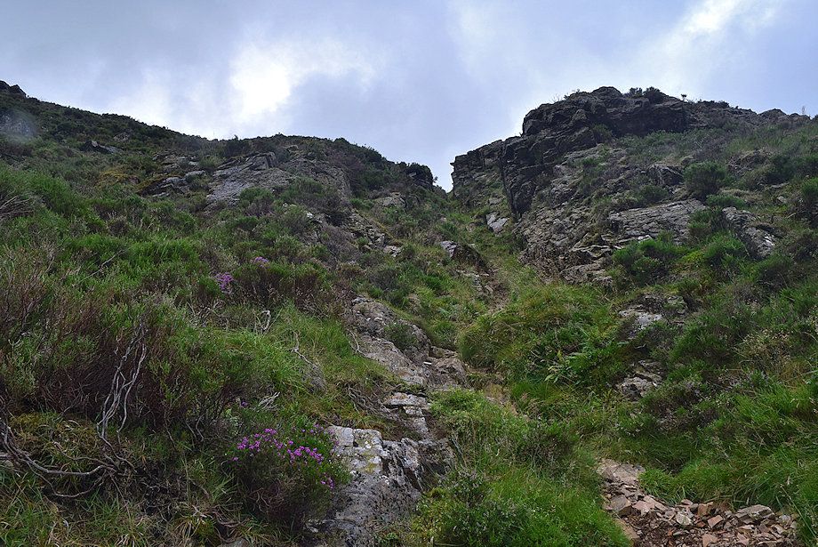 |
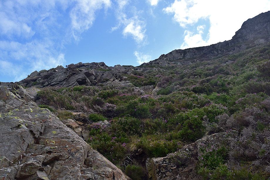
| The gully is about a 100ft high, very steep and constricted near its top |
 |
| Whiteside, Hopegill Head and Sand Hill from the top of the pinnacle |
 |
| Crummock Water and Loweswater from the top of the pinnacle |
 |
| Mellbreak across Crummock Water from the top of the pinnacle |
 |
| Red Pike and Starling Dodd from the top of the pinnacle, with Great Borne and Hen Comb above Mellbreak on the right |
 |
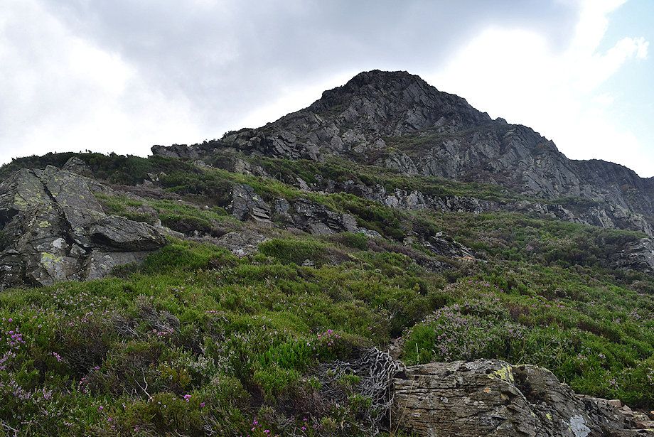
| The top of Grasmoor End from the pinnacle, 400ft. higher along a ridge which curves above the upper reaches of Lorton Gill |
 |
| Looking back to the top of the pinnacle from the start of the path along the curving ridge |
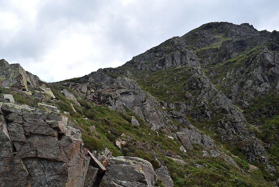 |
| There is a clear path which runs just below the crest of the ridge |
 |
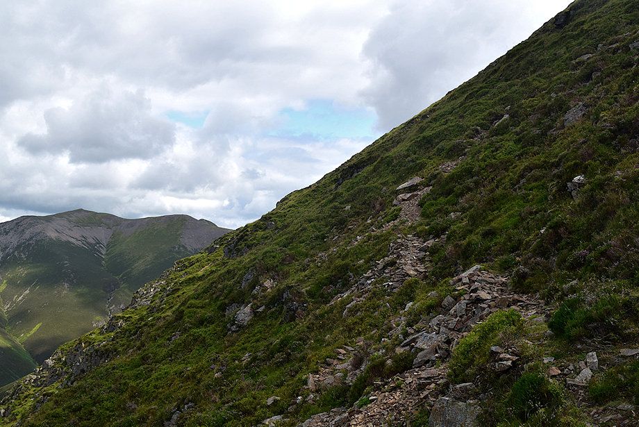
| Looking back down the ridge |
 |
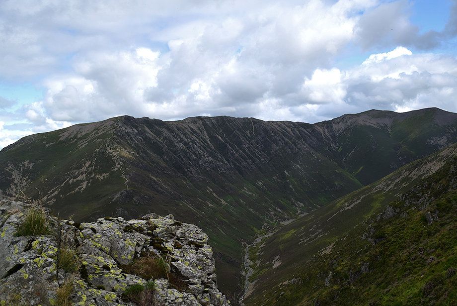
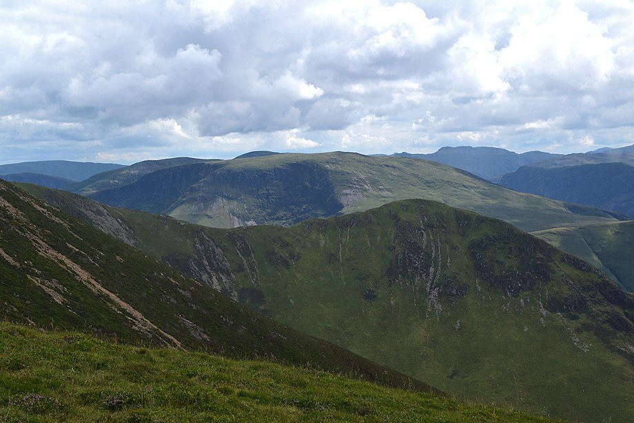
| Looking across the crags of Grasmoor End to Red Pike, Haycock and Starling Dodd |
 |
| Looking over to Hopegill Head and Sand Hill |
 |
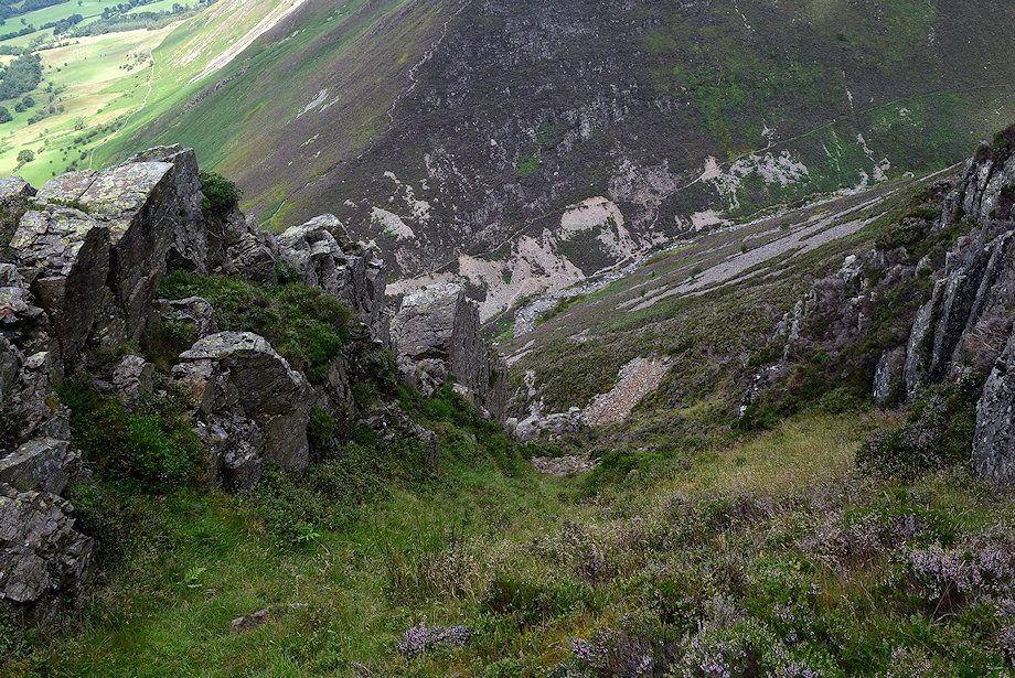
| Approaching the end of the curving ridge near the top of Lorton Gully. The path continues straight ahead beyond the head of the gully to avoid the crags |
 |
| Great Borne, Hen Comb and Gavel Fell above Mellbreak |
 |
| Lorton Vale across the slopes of Whiteside |
 |
| Whiteside, Hopegill Head and Sand Hill across Gasgale Gill from the end of the curving ridge |
 |
| Looking down on the head of Lorton Gully with the curving ridge on the right |
 |
| The path traverses the steep grass slope to the left of the crags for a short distance .......... |
 |
| ........before switching back right......... |
 |
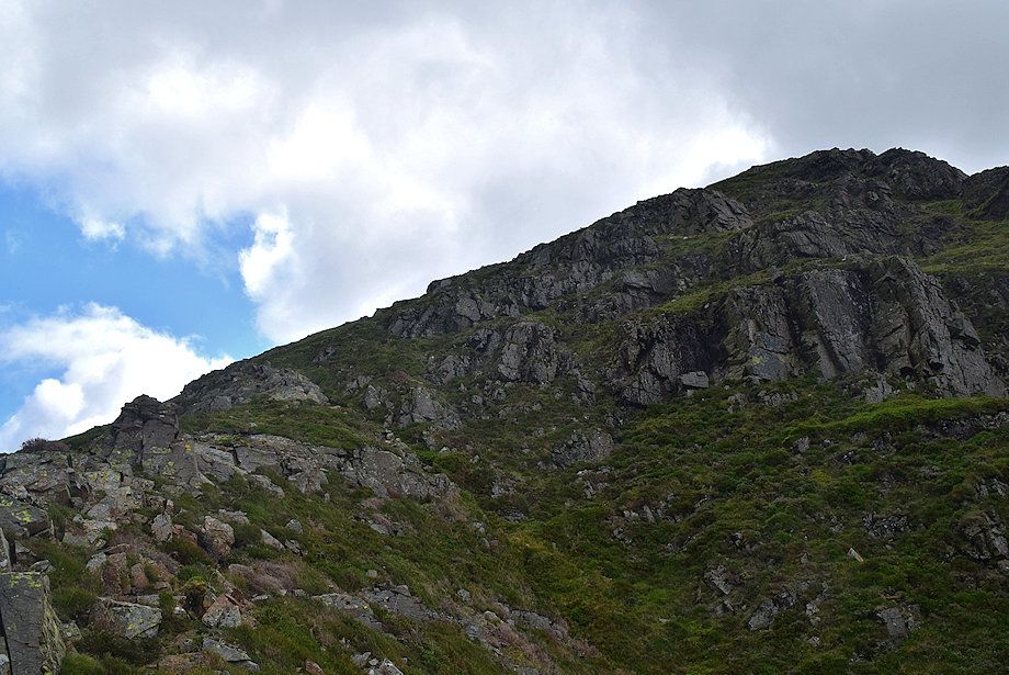
| ..........to gain a rocky spur which leads up to the top of Grasmoor End |
 |
| Looking back along the rocky spur |
 |
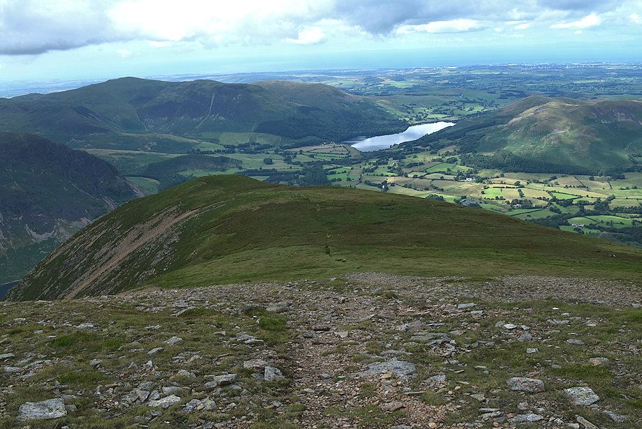
| Crummock Water from the rocky spur just below the top of Grasmoor End |
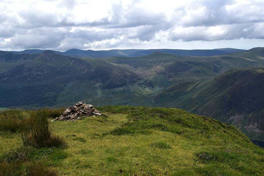 |
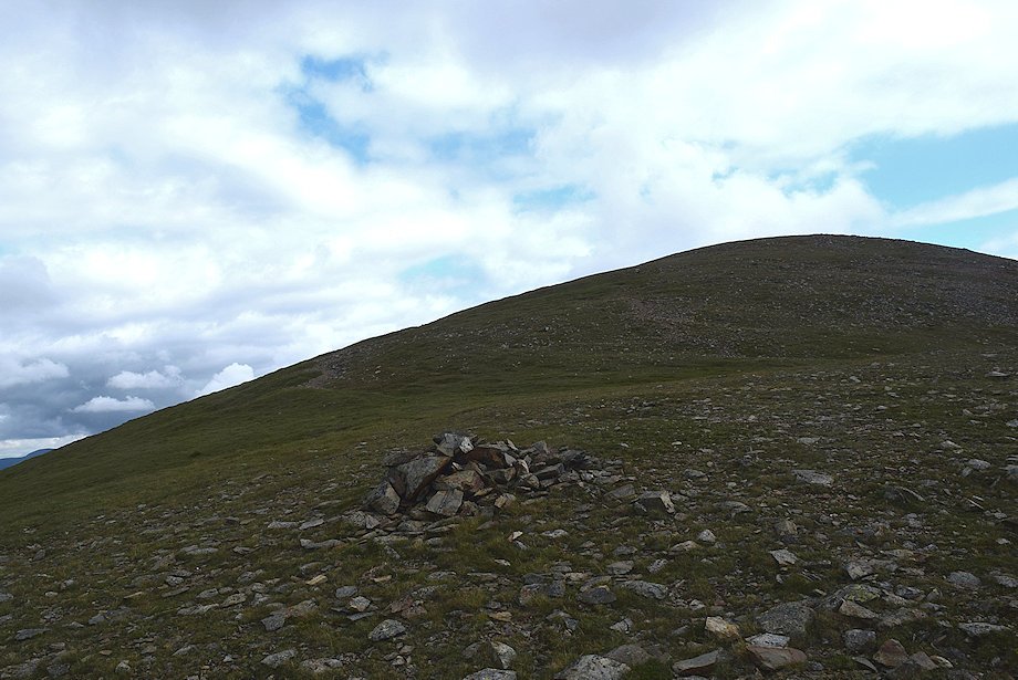
| The cairn on the top of Grasmoor End |
 |
| The summit of Grasmoor from Grasmoor End |
 |
| Low Fell and Fellbarrow from Grasmoor End |
 |
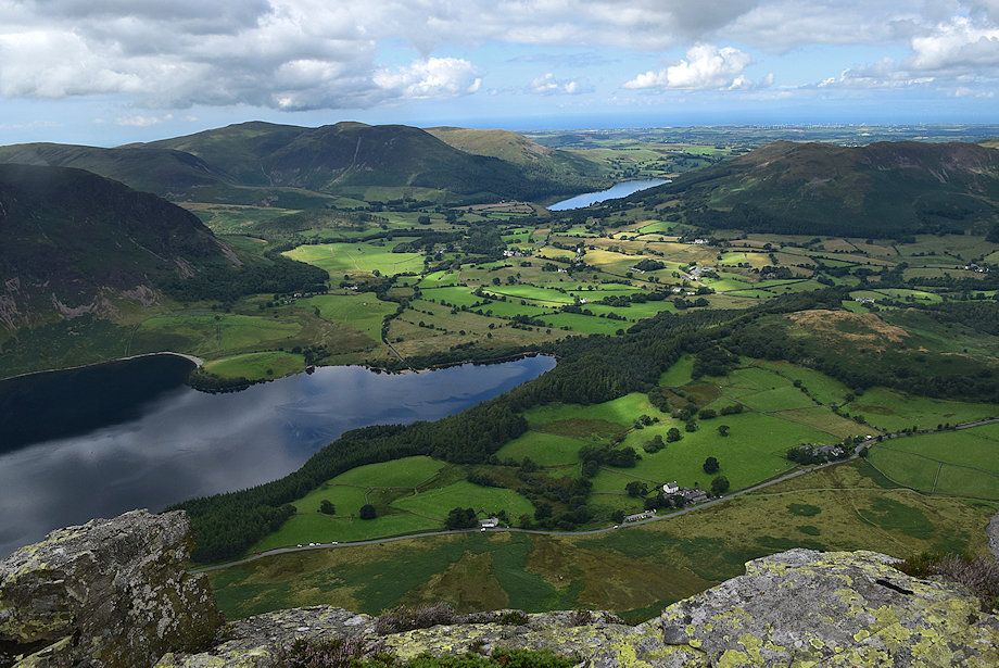
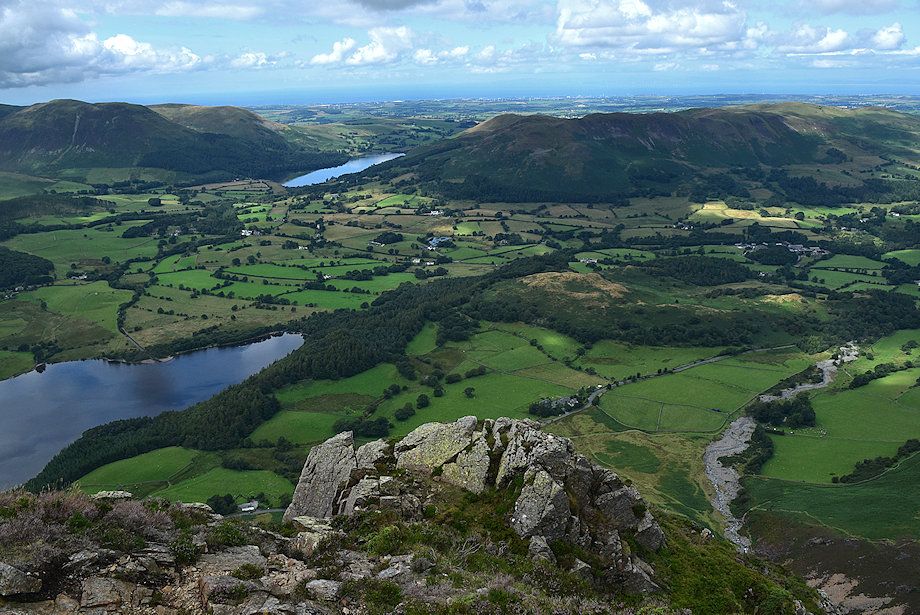
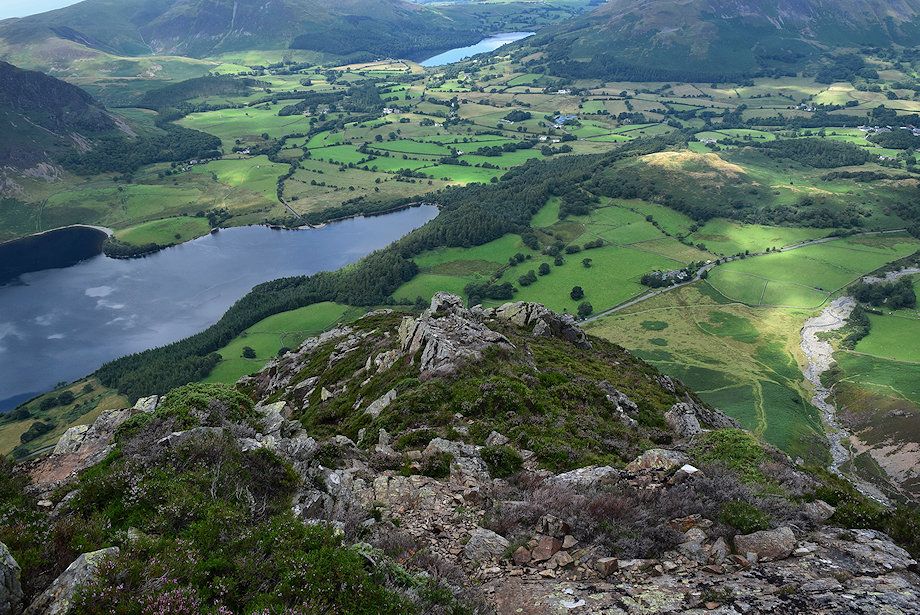
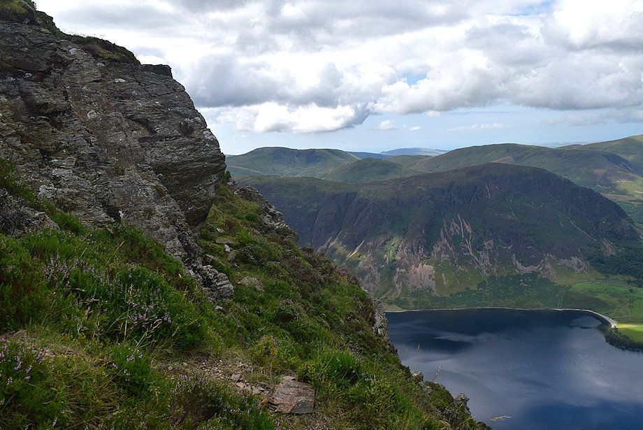
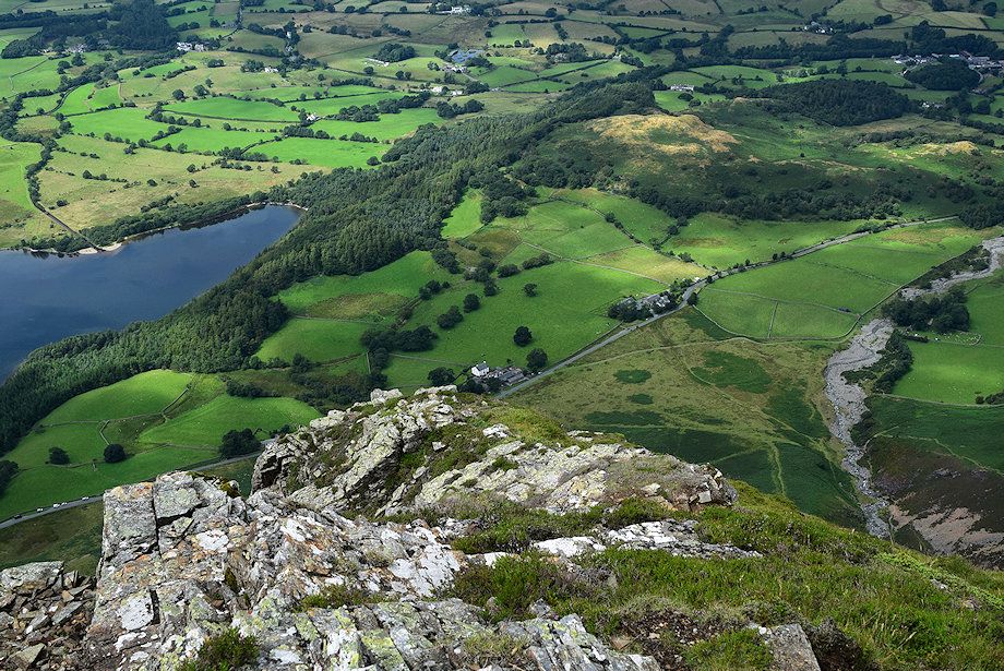
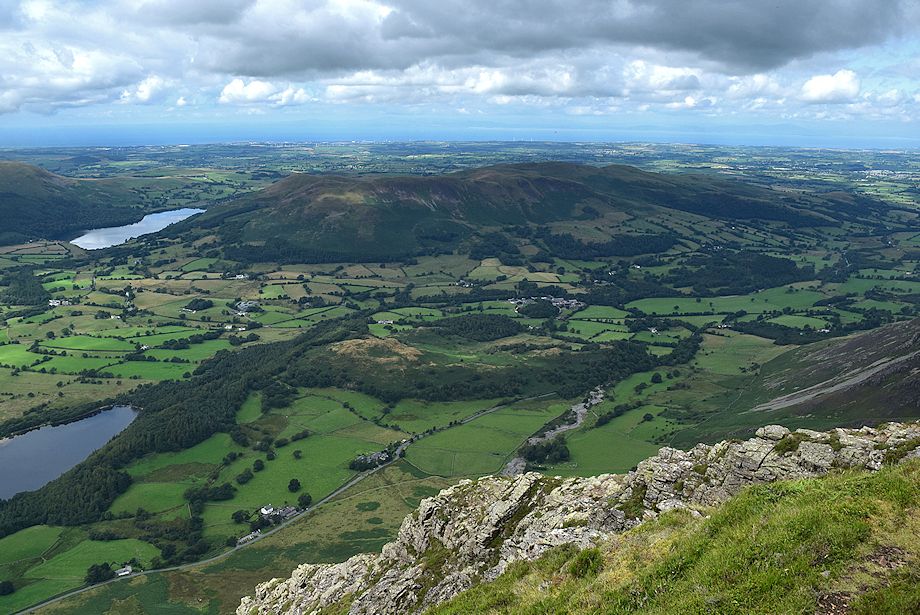
| Loweswater from the top of Grasmoor End |
 |
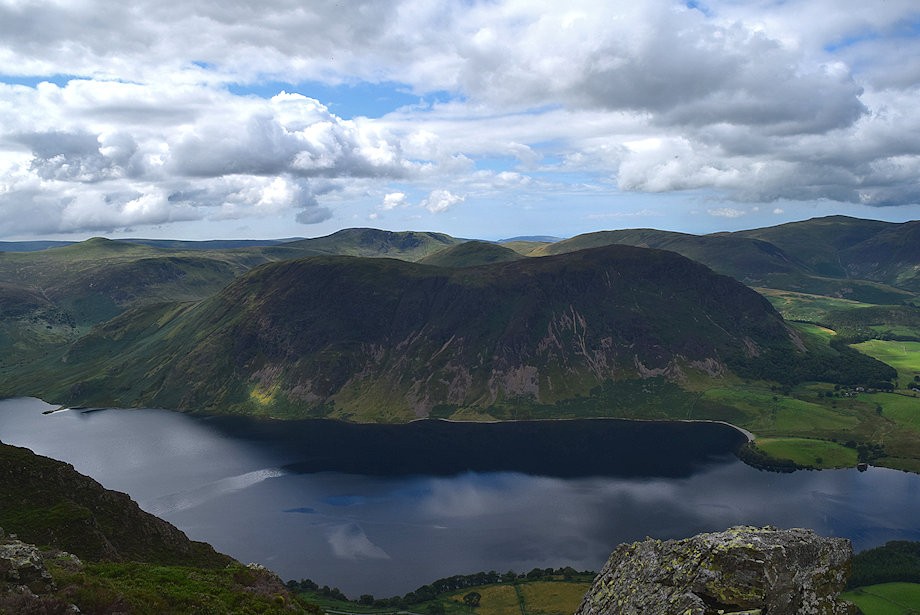
| Mellbreak across Crummock Water from the top of Grasmmor End |
 |
| The High Stile ridge over Rannerdale Knotts from the top of Grasmoor End |
 |
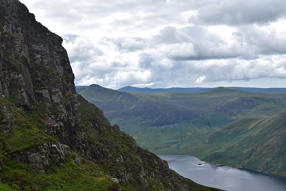
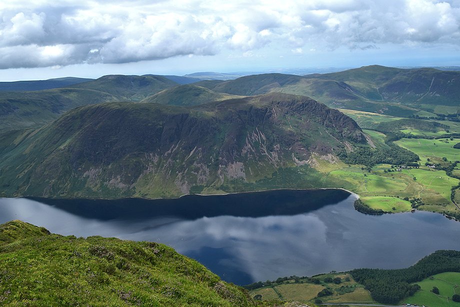
| Buttermere from the top of Grasmoor End |
 |
| Robinson above Whiteless Pike from the top of Grasmoor End |
 |
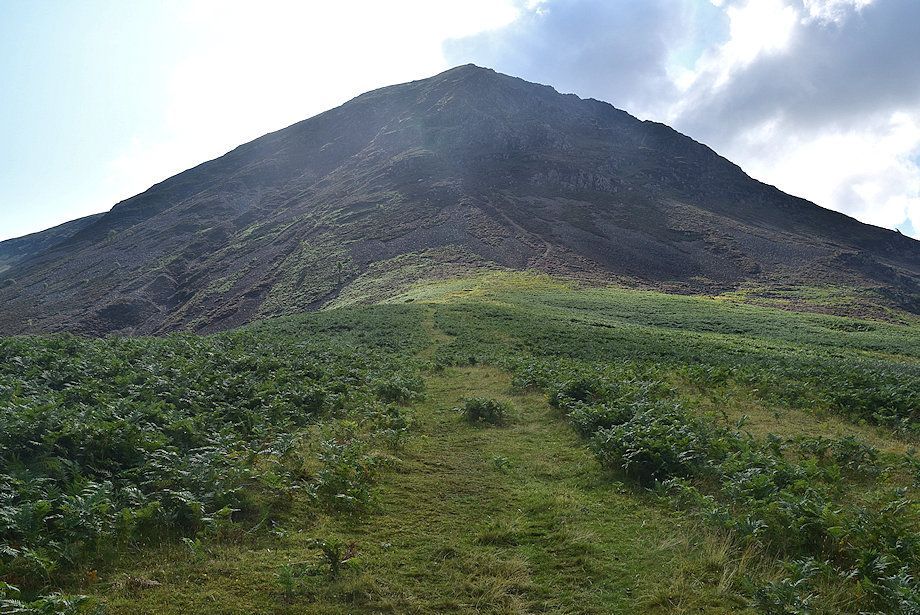
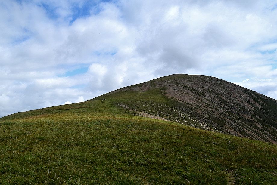
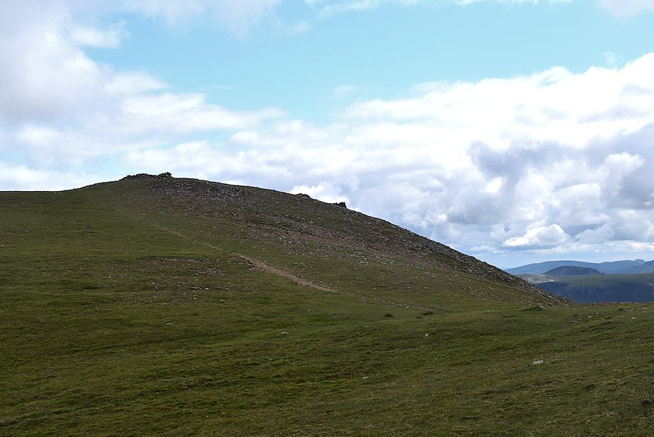
| From the top of Grasmoor End it's a easy 400ft. climb to the summit of Grasmoor |
 |
| Looking back to the top of Grasmoor End from the climb to the summit of Grasmoor |
 |
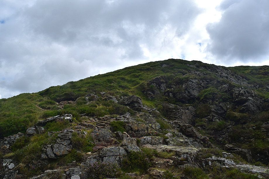
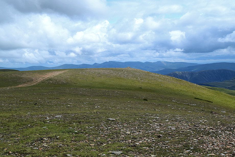
| The summit comes into view |
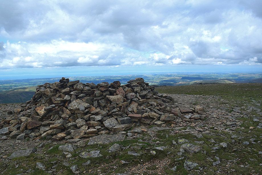 |
| The summit cairn/windshelter on Grasmoor |
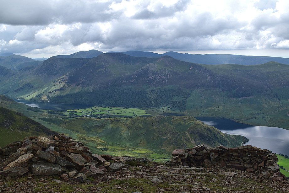 |
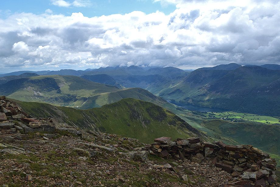
| The High Stile ridge above Rannerdale Knotts with Pillar, Red Pike, Scoat Fell and Haycock on the skyline from the summit of Grasmoor |
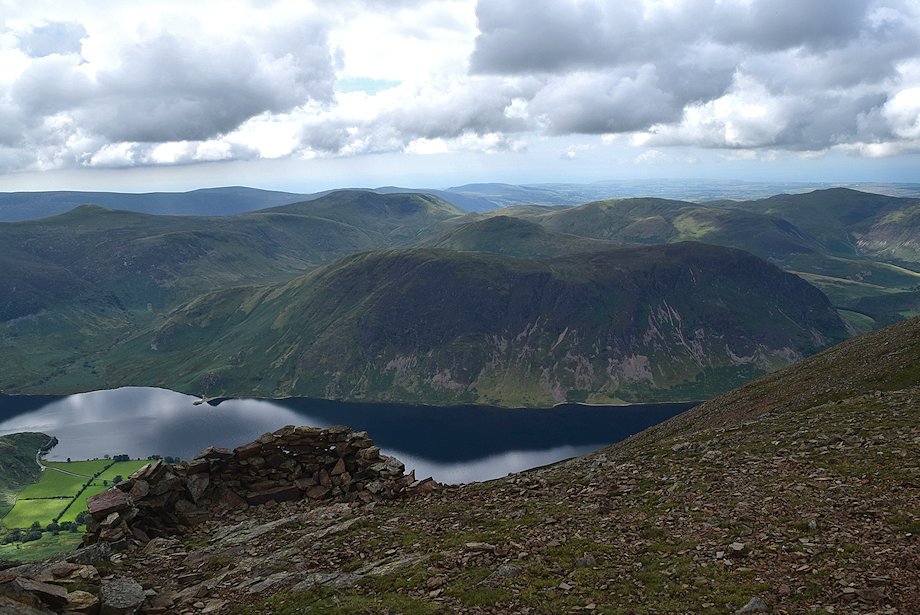 |
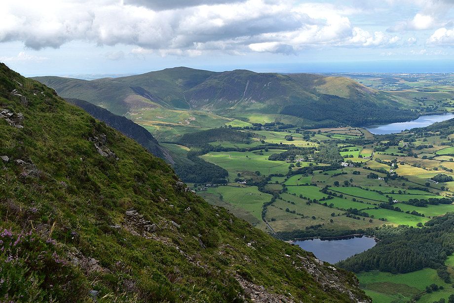
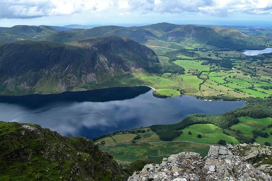
| Mellbreak across Crummock Water with Starling Dodd, Great Borne, Hen Comb, Gavel Fell, and Blake Fell in the middle distance |
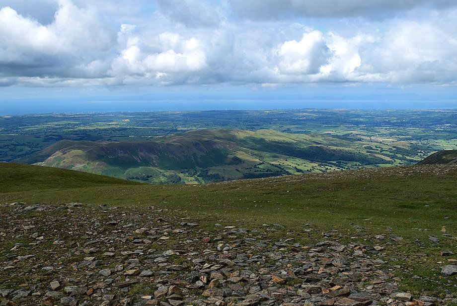 |
| Low Fell and Fellbarrow from the sunmmit of Grasmoor |
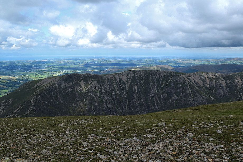 |
| Whiteside from the summit of Grasmoor |
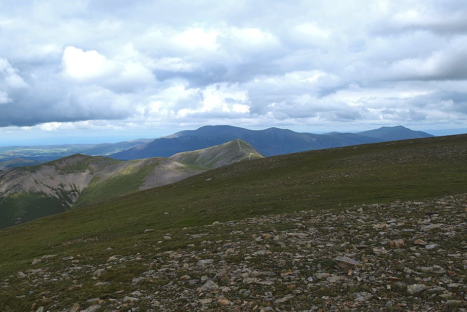 |
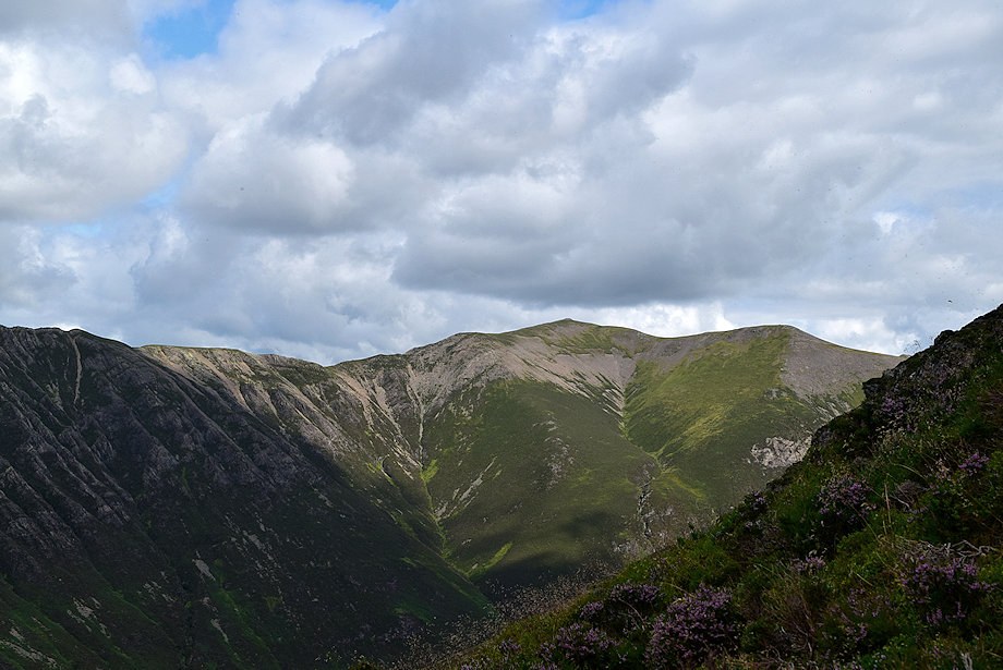
| Hopegill Head and Grisedale Pike with Skiddaw and Blencathra on the skyline |
 |
| The Helvellyn range from the summit of Grasmoor |
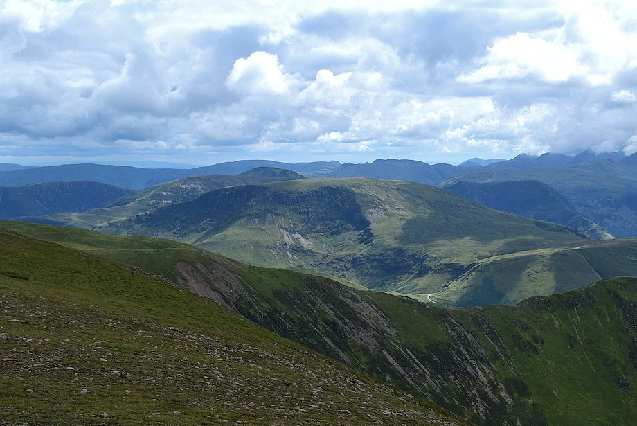 |
| Robinson from the summit of Grasmoor |
 |
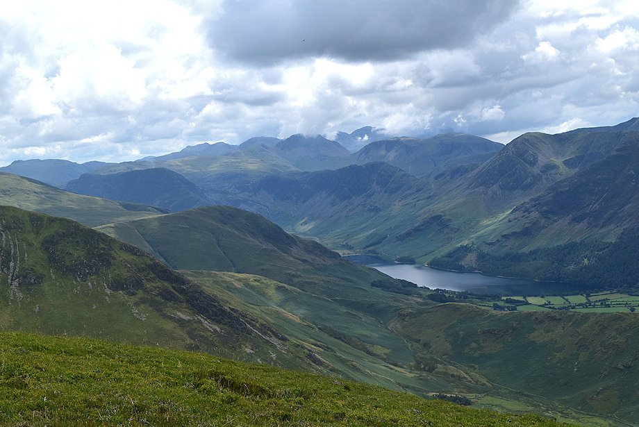
| Buttermere from the summit of Grasmoor |
|