 |
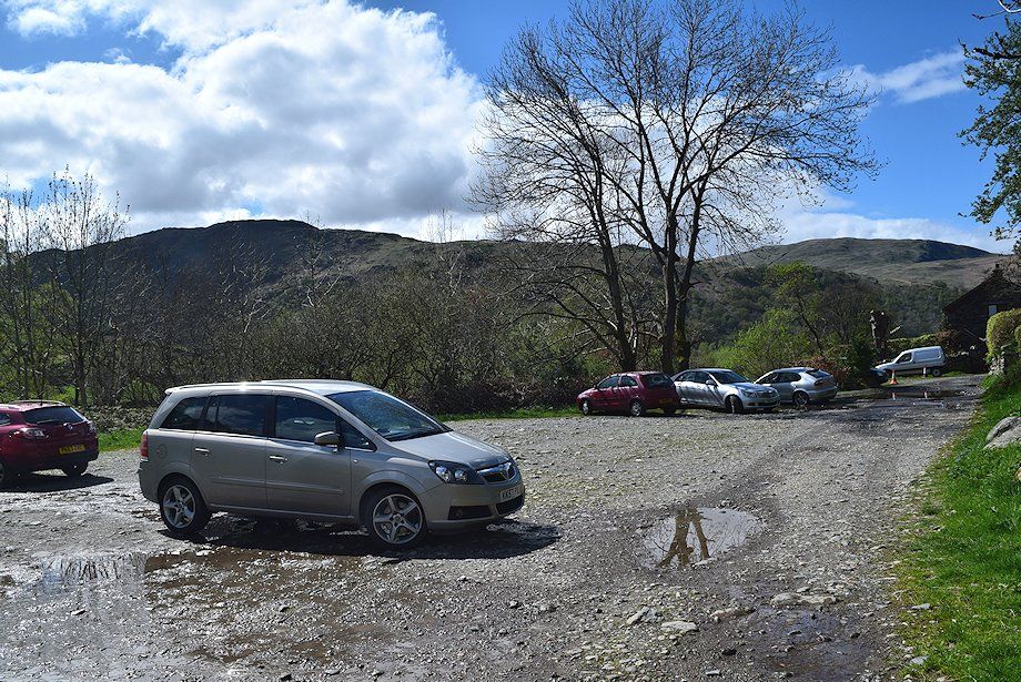
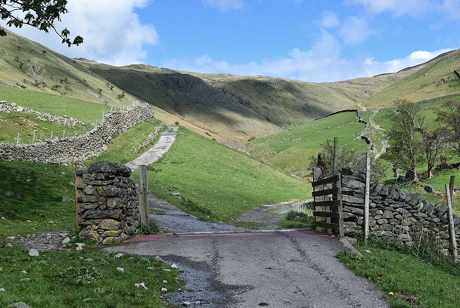
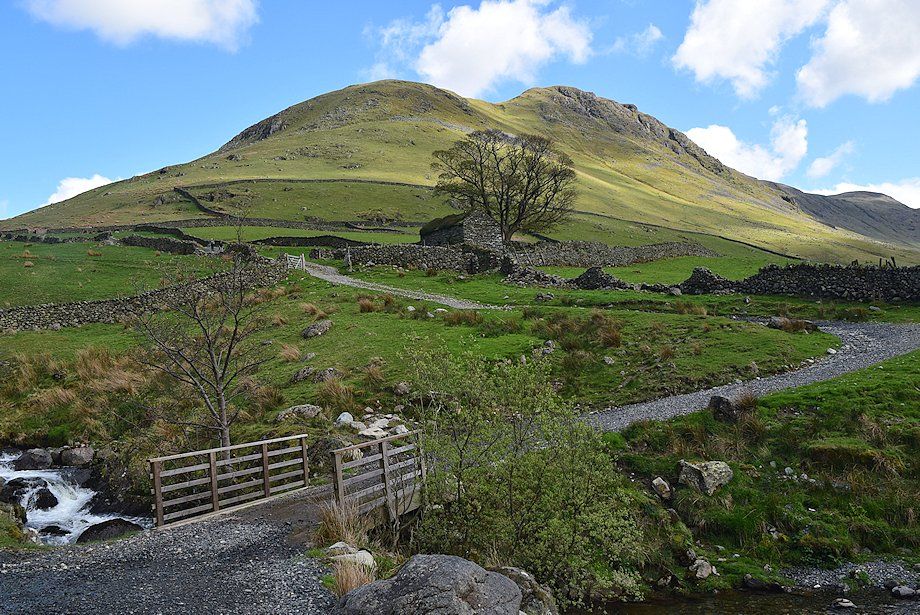
| Hartsop car park at the start of the walk |
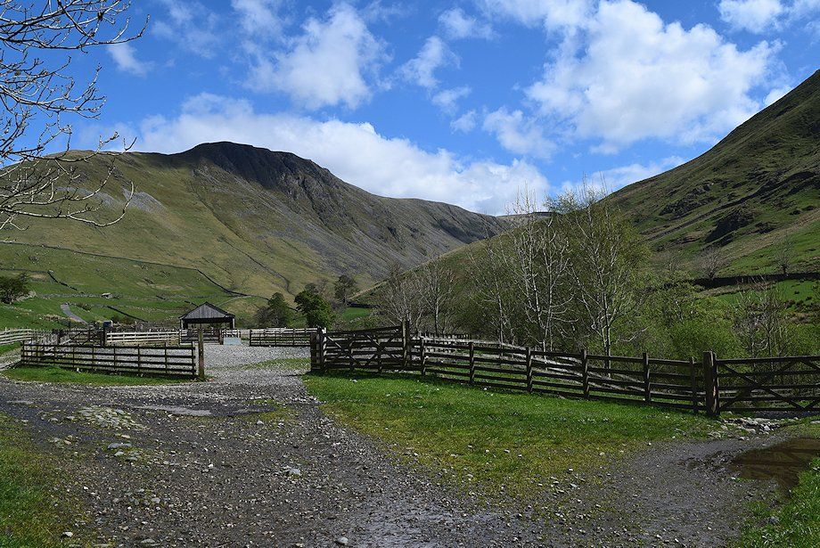 |
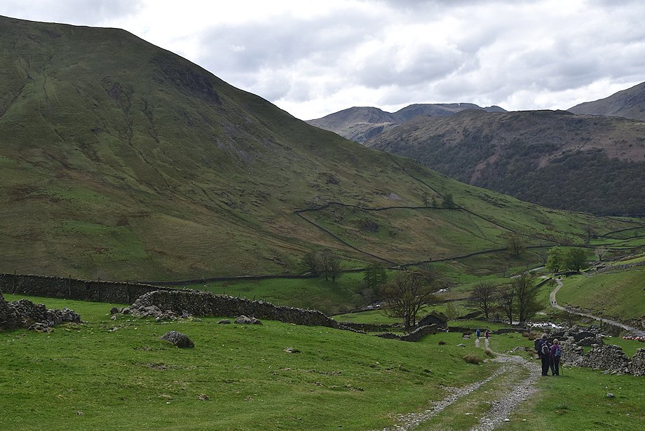
| Gray Crag from the gate at the end of the car park. The path passes alongside some sheep pens and continues onto the Hayeswater access road |
 |
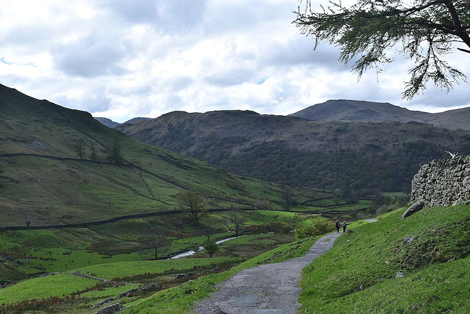
| Looking back towards Birks from the sheep pens |
 |
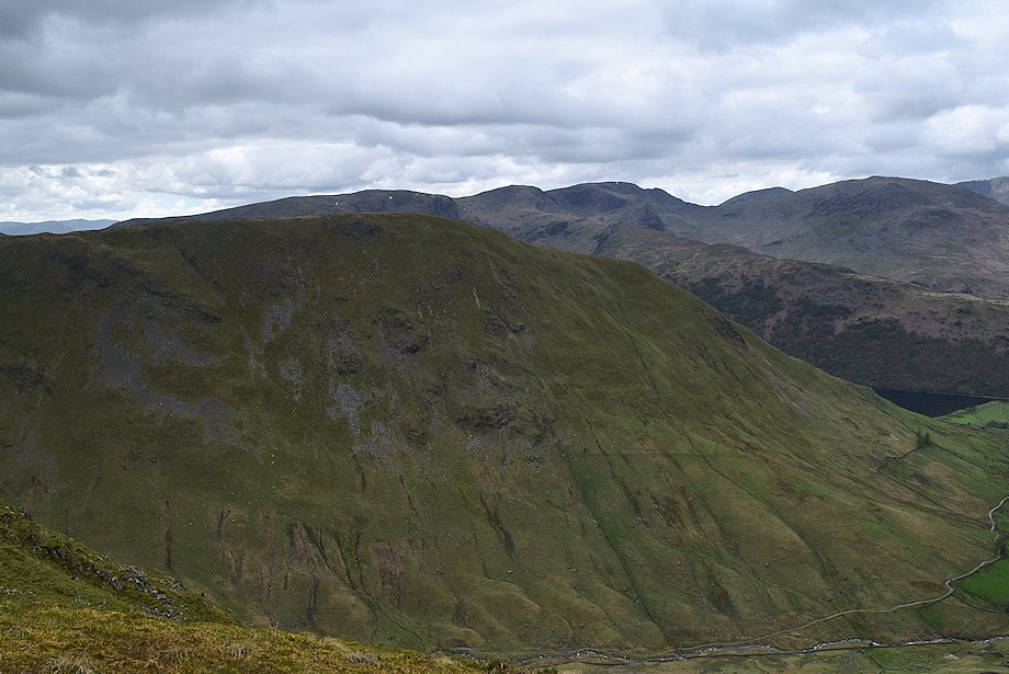
| Gray Crag from the Hayeswater access road |
 |
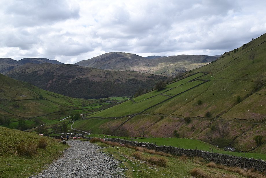
| The road divides beyond a cattle grid. The left branch begins to climb towards the reservoir filter house, the right branch continues on as a rough track which descends and crosses Hayeswater Gill by Wath Bridge |
 |
| Looking back from the cattle grid towards St. Sunday Crag over the Hartsop-above-How ridge |
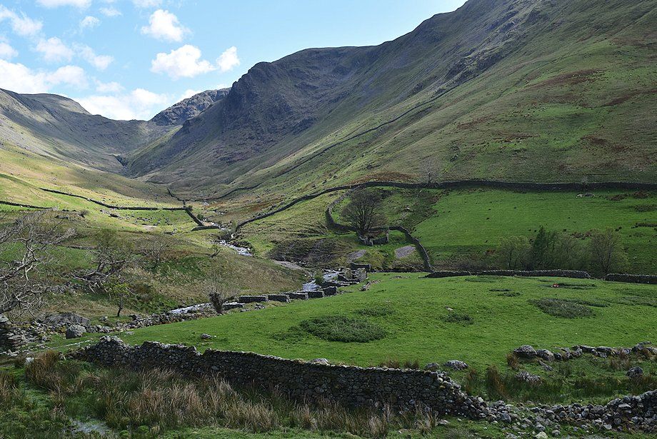 |
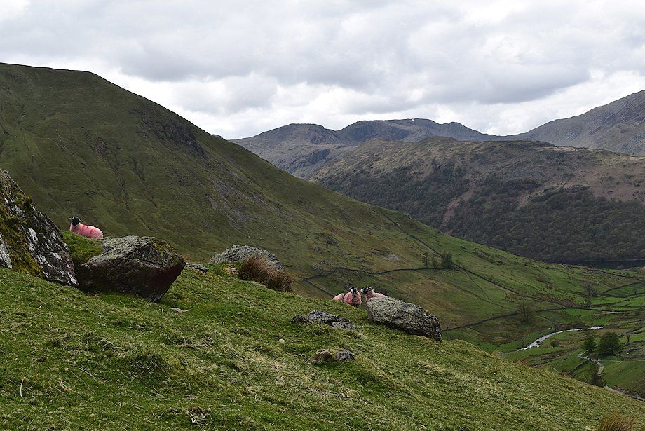
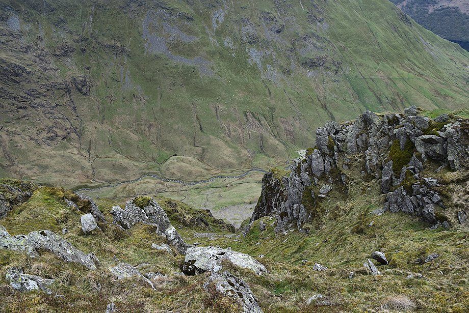
| The remains of the launder piers and waterwheel pit of the old Myers Head lead mine. The mine was abandoned in 1878 after only twelve years of operation when the miners unexpectedly broke into a large water-filled cavity in the vein which flooded the main shaft |
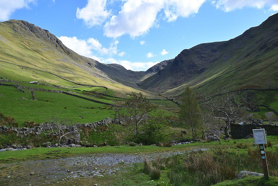 |
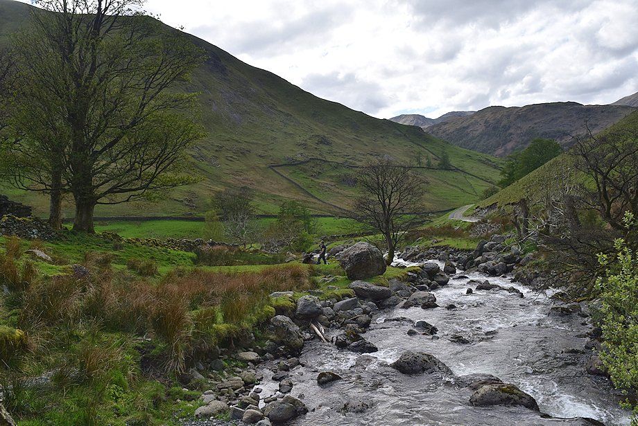
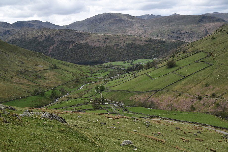
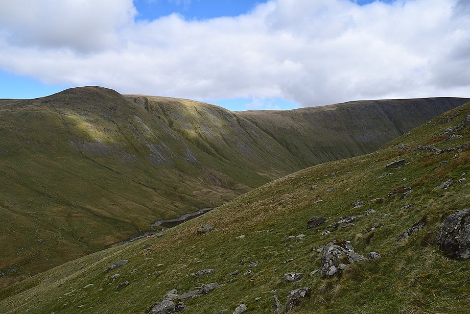
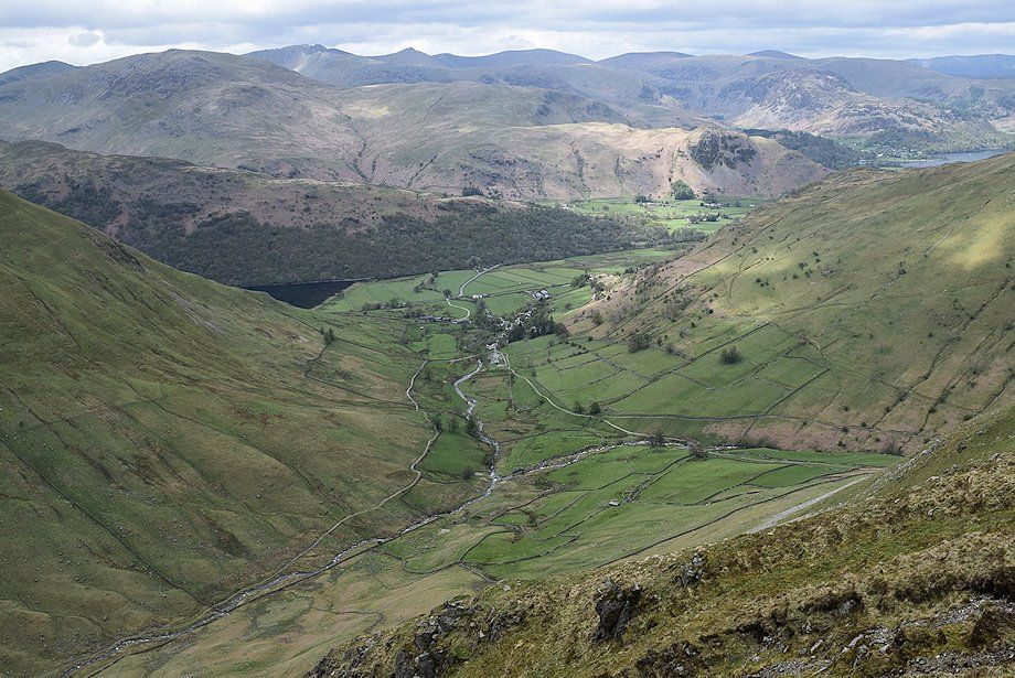
| Threshthwaite Mouth at the head of the valley of Pasture Beck |
 |
| Gray Crag from Wath Bridge |
 |
| The north ridge of Hartsop Dodd from Wath Bridge |
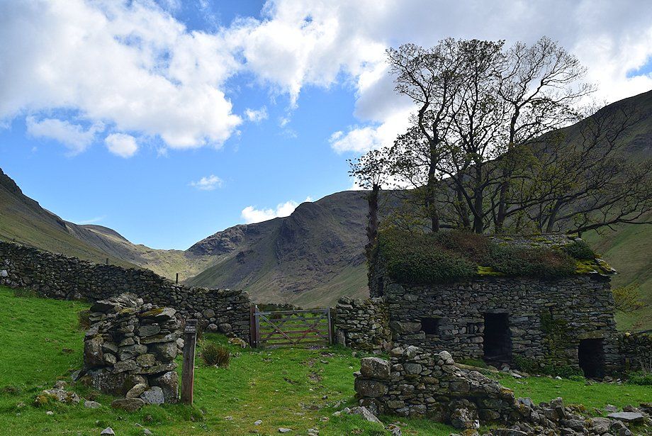 |
| The old field barn above Wath Bridge |
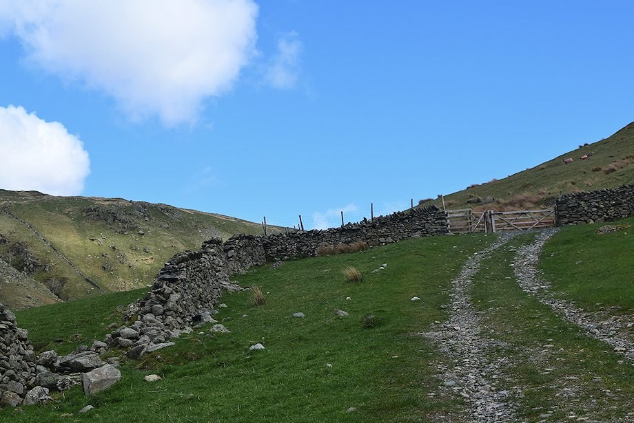 |
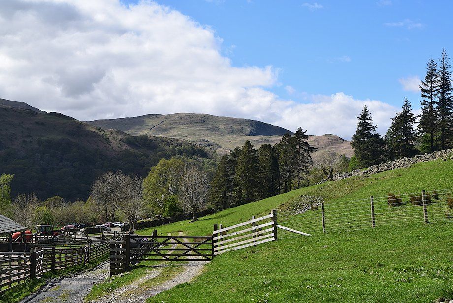
| Above the field barn the track rises to a gate and the open fellside |
 |
| Looking back from the gate, Hart Crag and Fairfield appear over the Hartsop-above-How ridge |
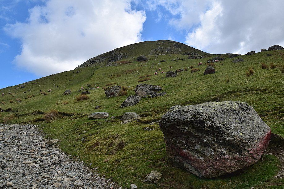 |
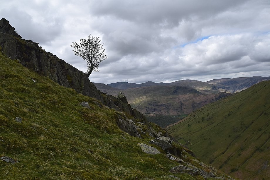
| On passing a prominent boulder, leave the Hayeswater access track for a green path which climbs the steep grass slopes beneath the terminal crags on Gray Crag's north ridge |
 |
| Looking back from the Hayeswater access track, the summit of Helvellyn appears over the St. Sunday Crag~Birks col |
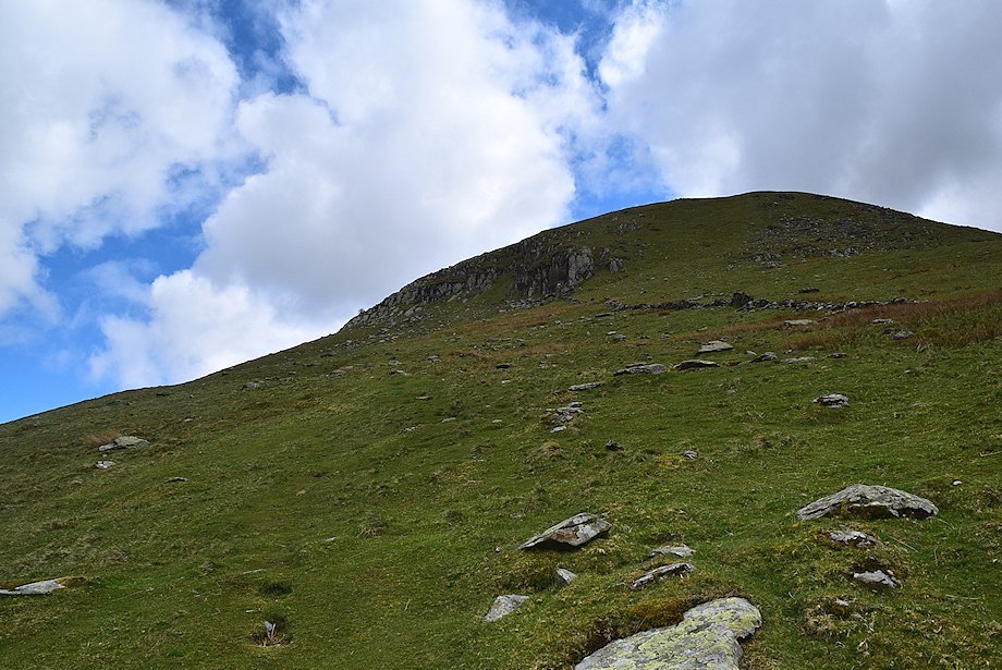 |
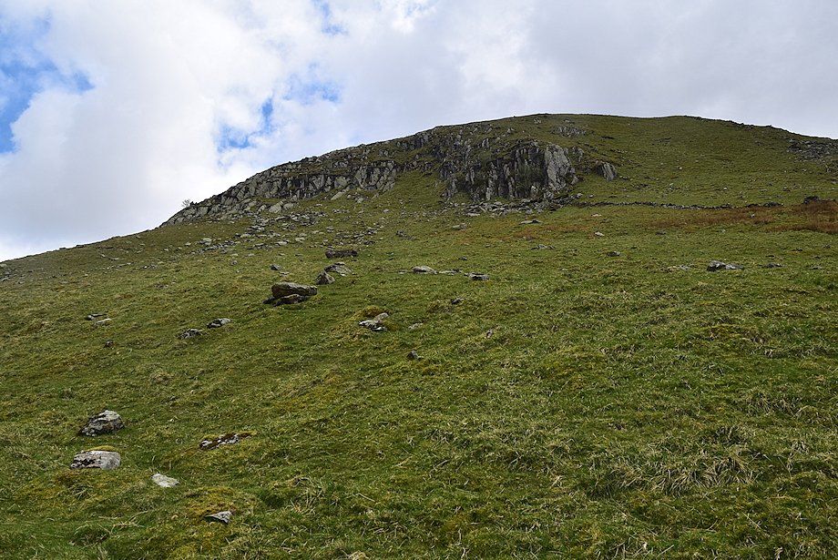
| The start of the climb to Gray Crag's north ridge |
 |
| Looking over towards Hart Crag and Fairfield over the Hartsop-above-How ridge |
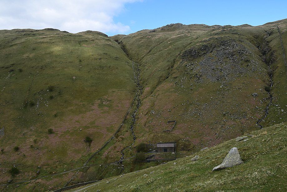 |
| Looking down onto the redundant Hayeswater Reservoir filter house |
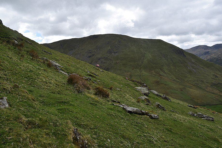 |
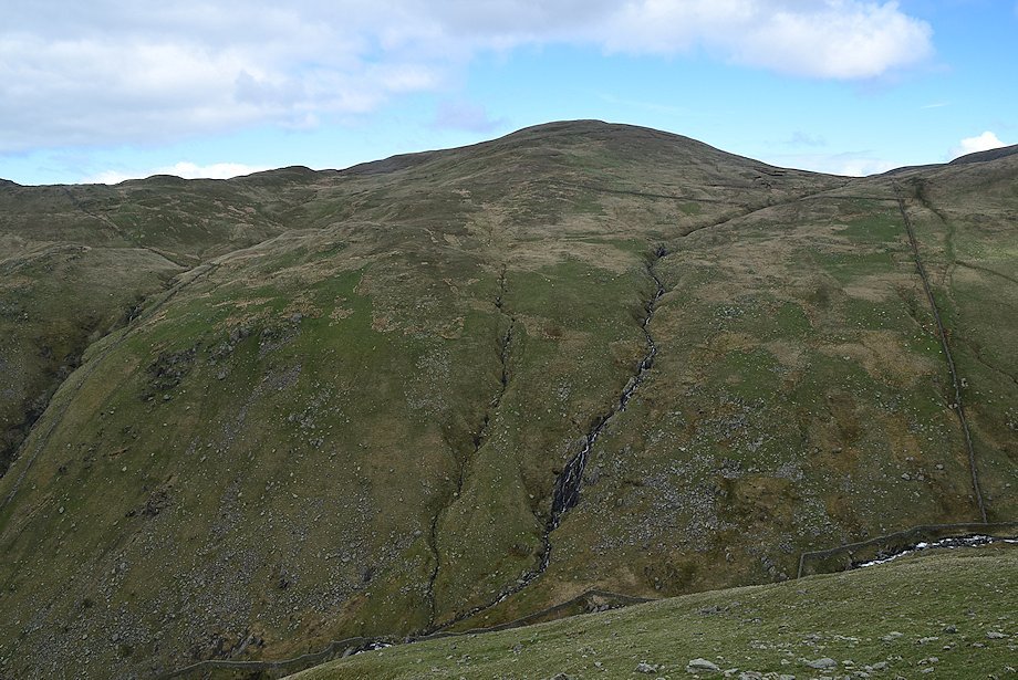
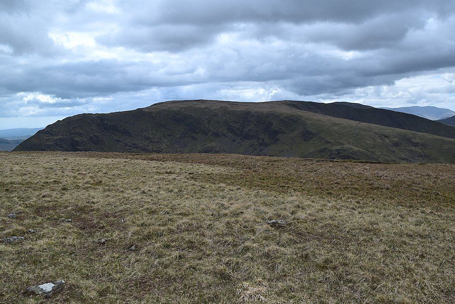
| Looking over to Hartsop Dodd |
 |
| In the original guide AW recommended a direct climb of the open grass slope to the right of the crags. It's now more usual to make a rising traverse below the crags to by-pass them on the left |
 |
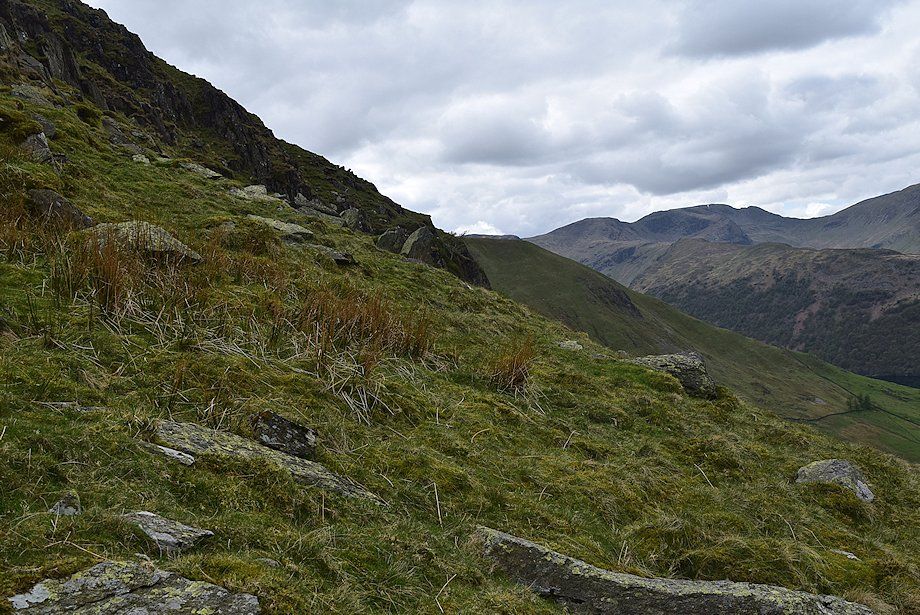
| Looking back from the lower slopes of the north ridge, Fairfield, St. Sunday Crag, Helvellyn, Catstycam, Birks and Raise form the horizon |
 |
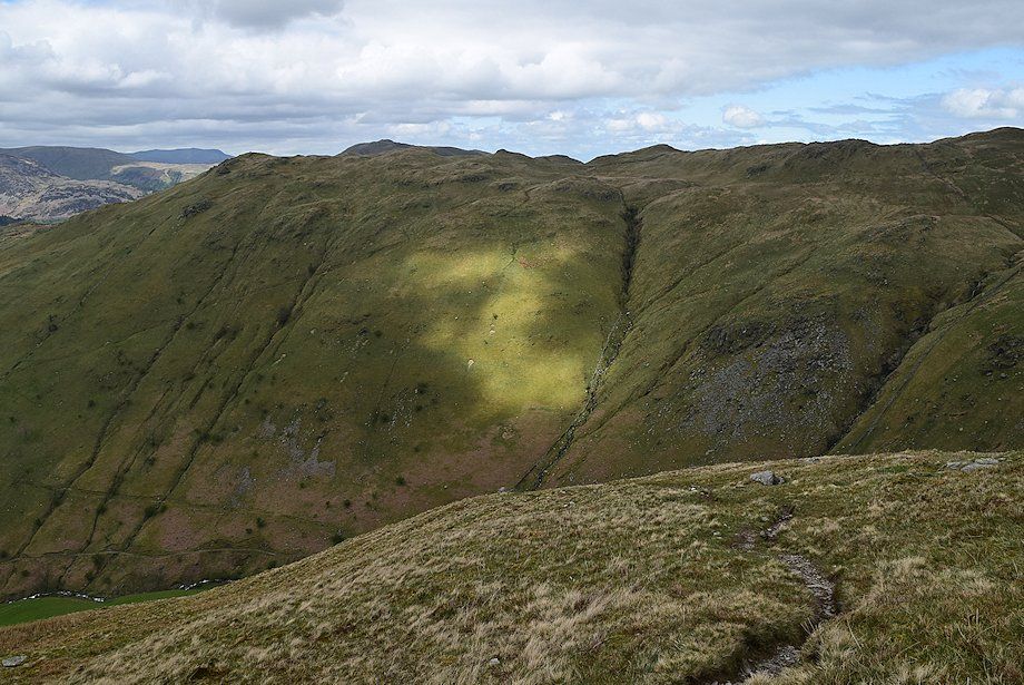
| Hart Crag and Fairfield from the traverse path below the crags |
 |
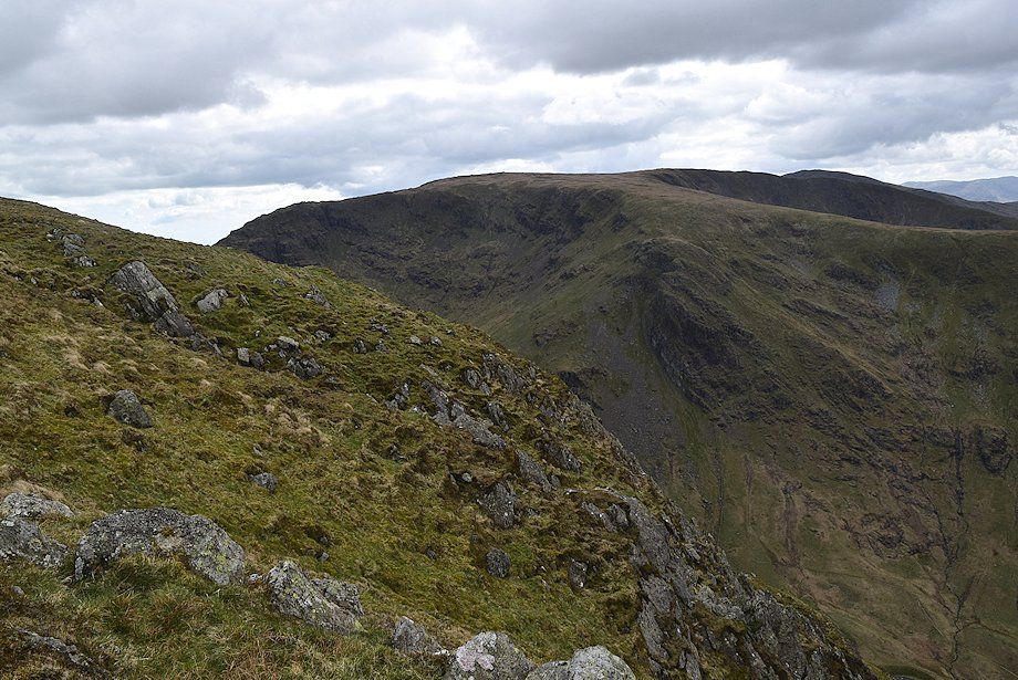
| The Knott from the traverse path |
 |
| Rest Dodd from the traverse path |
 |
| Helvellyn and Catstycam from the end of the traverse path |
 |
| On reaching the end of the traverse path the foot of Hayeswater comes into view |
 |
| On passing the end of the crags the path turns sharply to the right and climbs to reach the broad ridge-line above the crags |
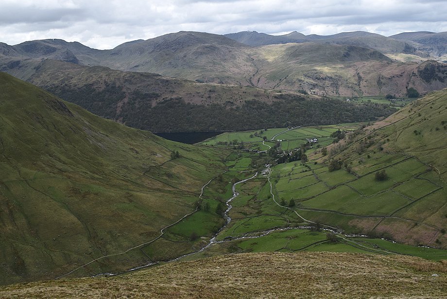 |
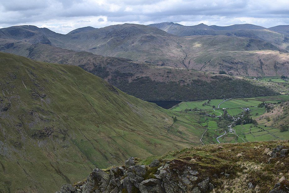
| Looking down onto Hartsop from above the crags |
 |
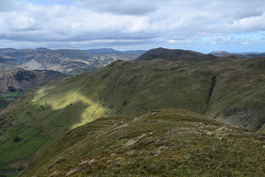
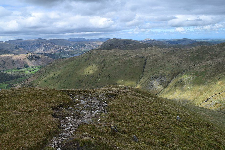
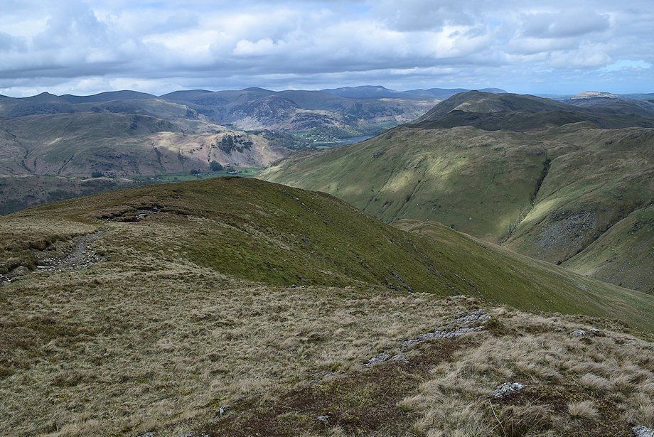
| Looking back towards Brock Crags |
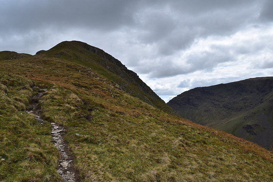 |
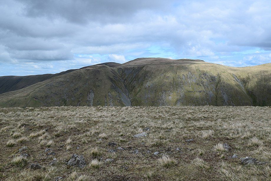
| The north ridge of Gray Crag |
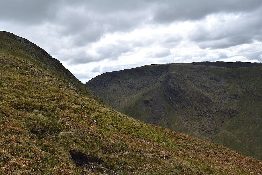 |
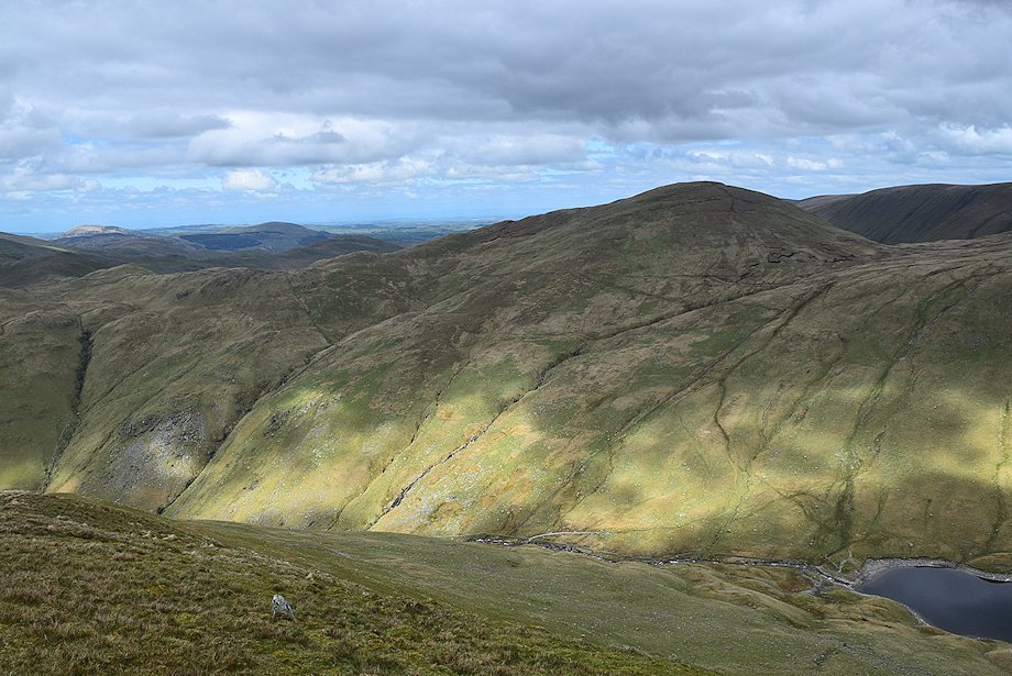
| Looking across to Raven Crag on Caudale Moor |
 |
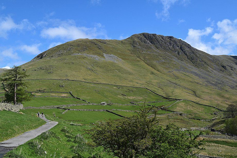
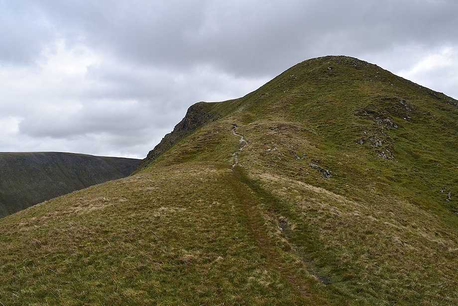
| The upper part of the north ridge |
 |
| Looking across to Hartsop Dodd from the north ridge |
 |
| Looking back along the north ridge |
 |
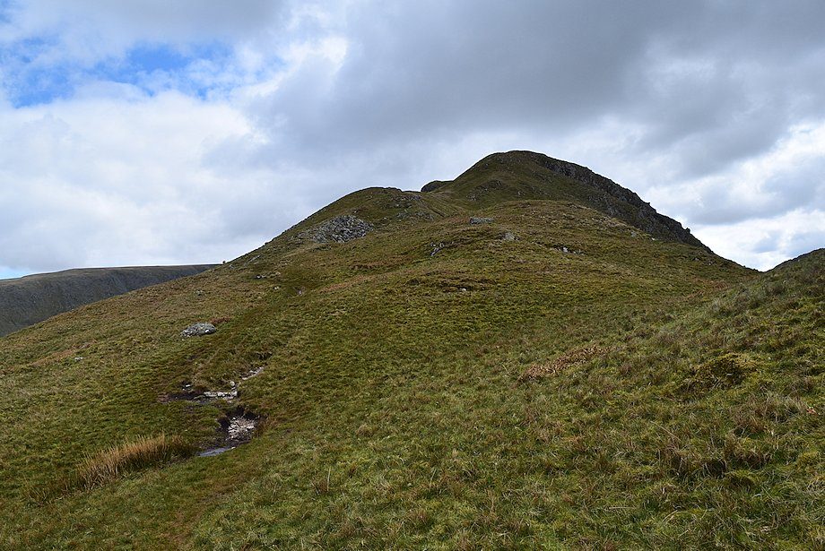
| The final slope leading up to the summit plateau |
 |
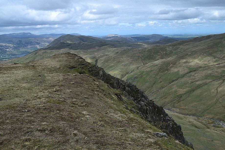
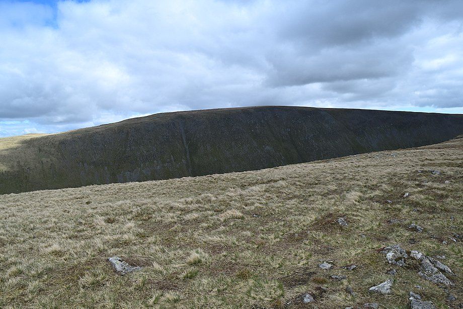
| Caudale Moor across the western crags of Gray Crag |
 |
| Looking down onto Hartsop from the north ridge |
 |
| Part of Ullswater comes into view as height is gained |
 |
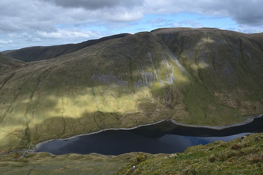
| Rest Dodd above the foot of Hayeswater |
 |
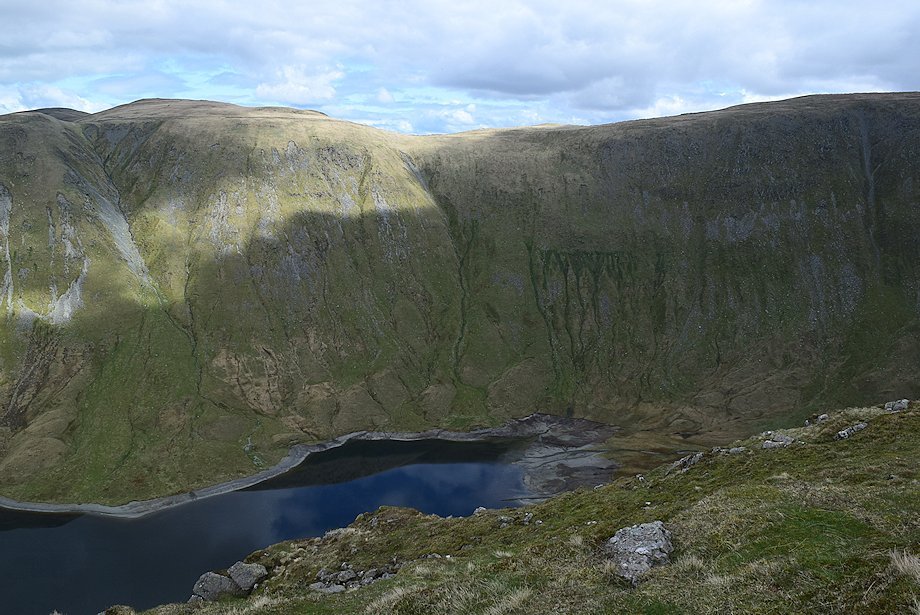
| The Knott and Rampsgill Head across Hayeswater |
 |
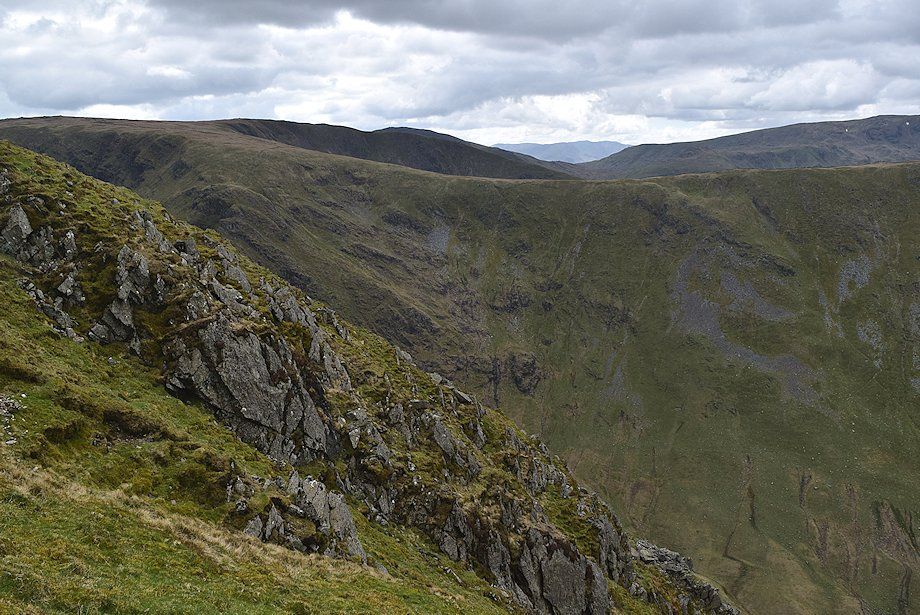
| Looking down one of the gullies on the western crags |
 |
| Helvellyn from the top of the gully |
 |
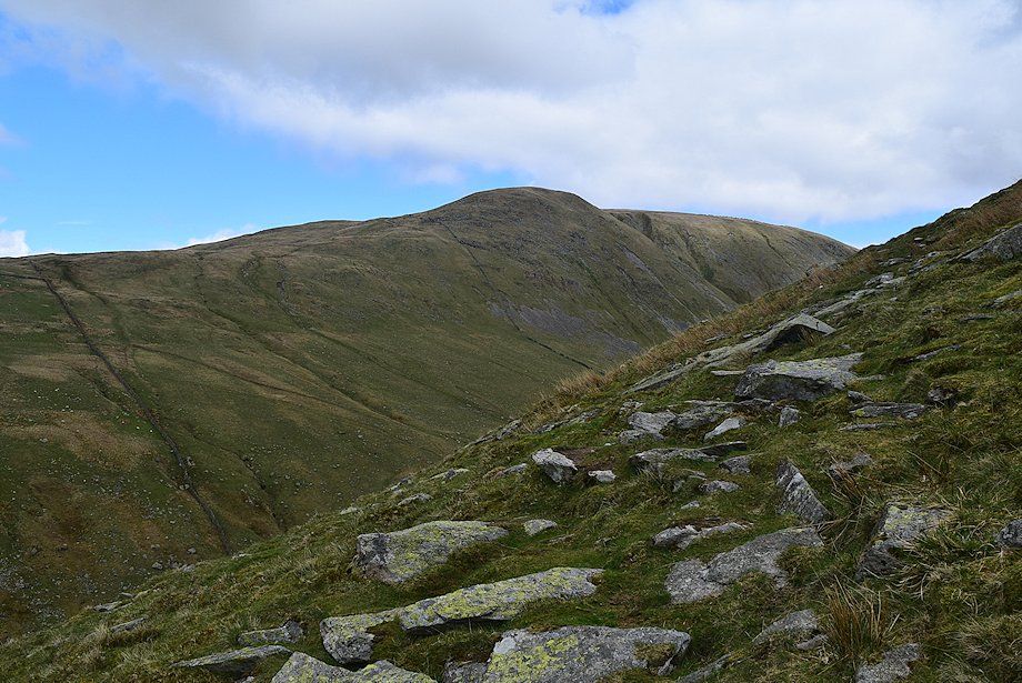
| Caudale Moor from near the top of the north ridge |
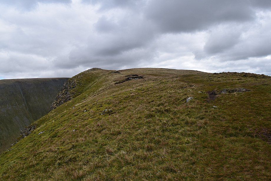 |
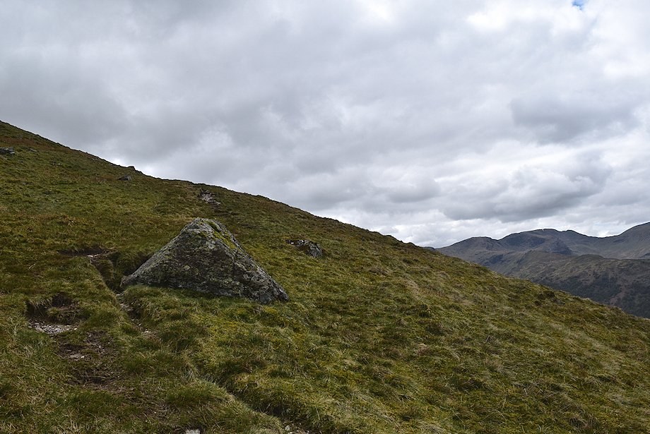
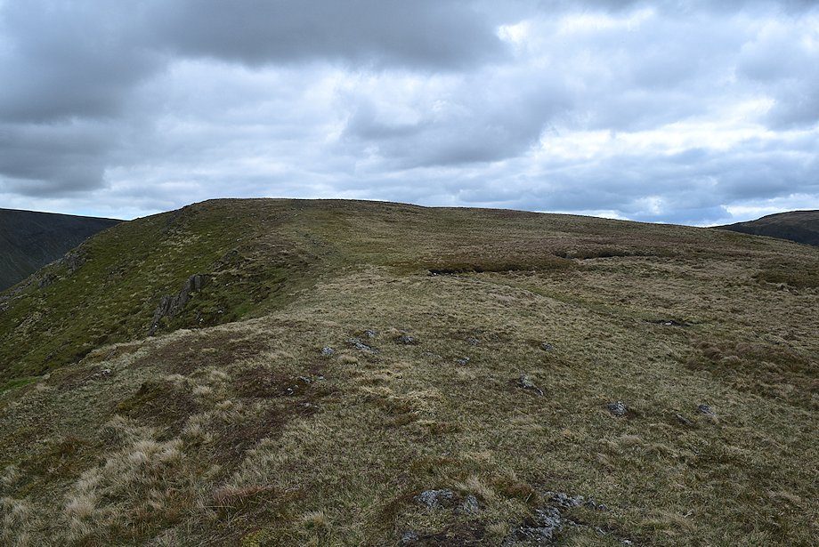
| The top of the north ridge, the prominent knoll on the left provides a good view of Hayeswater |
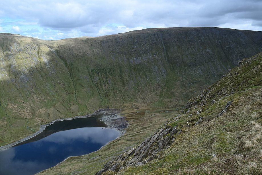 |
| Hayeswater and High Street from the knoll |
 |
| The summit plateau from the knoll |
 |
| Looking back from the knoll along the line of north ridge |
 |
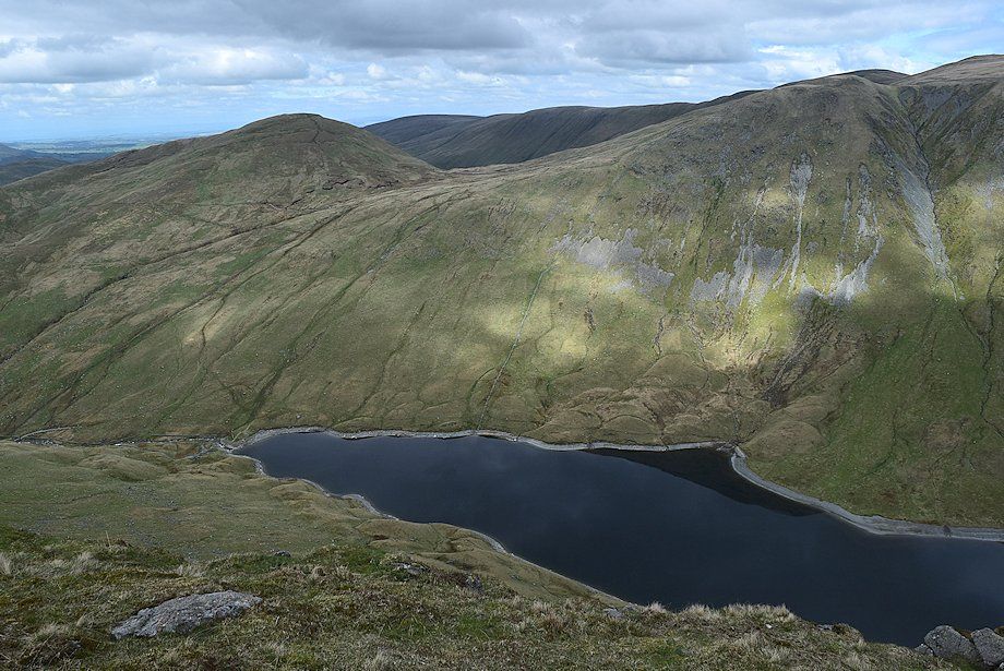
| Rest Dodd across Hayeswater |
 |
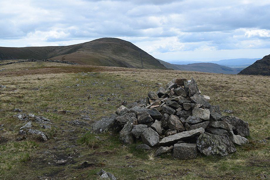
| Approaching the summit cairn |
 |
| Looking back to the knoll |
 |
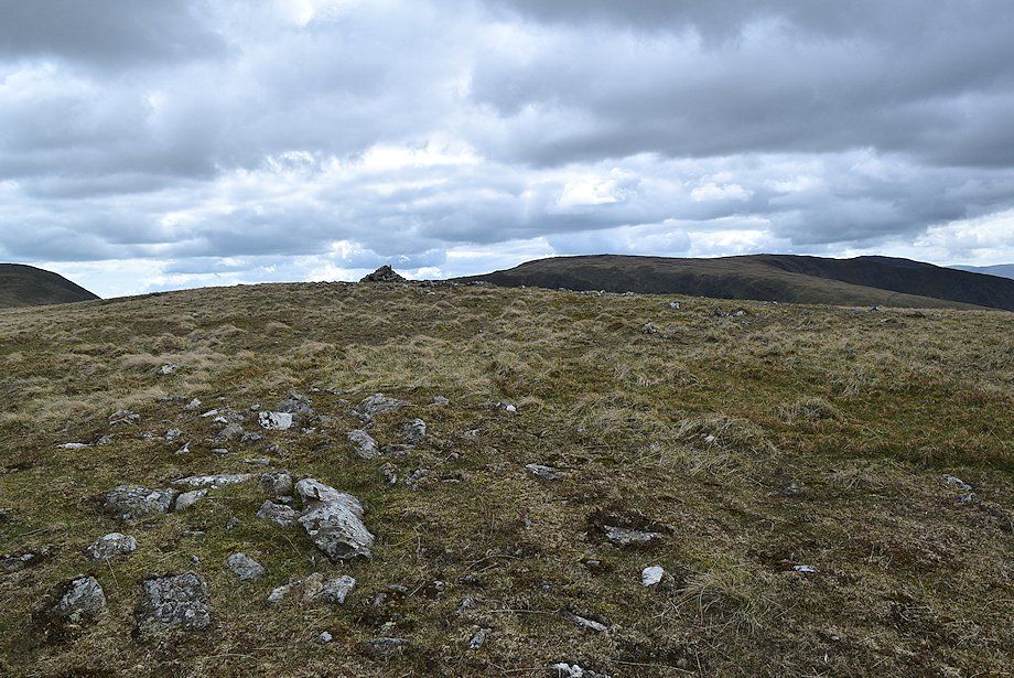
| The summit cairn and the connecting ridge to Thornthwaite Crag |
 |
| Looking to the south east, Caudale Moor, Red Screes and the Coniston Fells |
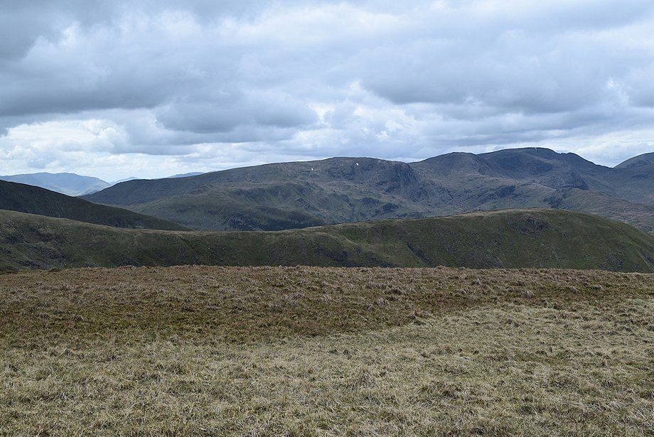 |
| High Pike, Hart Crag anf Fairfield over the Caudale Moor~Hartsop Dodd ridge. The Coniston Fells with the summits of Harter Fell and Pike o' Blisco can be seen on the distant horizon to the left |
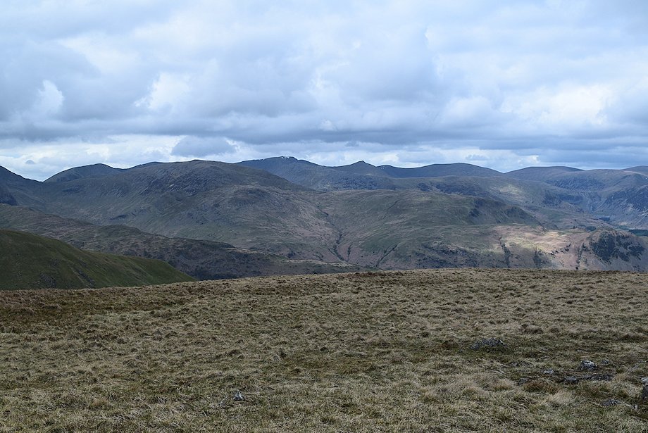 |
| Looking north west, Dollywaggon Pike, High Crag, Nethermost Pike, St. Sunday Crag, Helvellyn, Catstycam, White Side, Raise, Stybarrow Dodd and Great Dodd form the horizon |
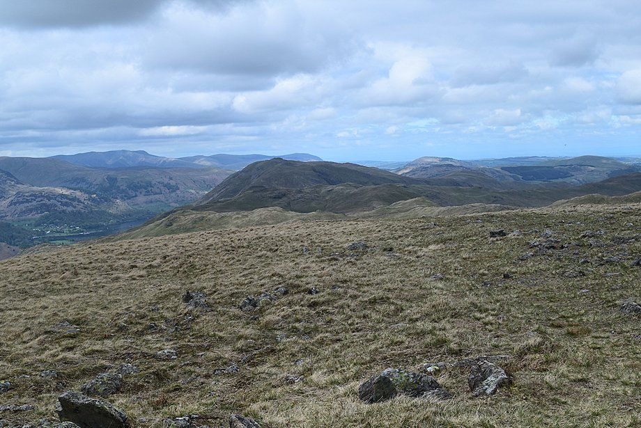 |
| Brock Crags, Angletarn Pikes and Place Fell in the middle distance with Great Mell Fell, Gowbarrow Fell and Little Mell Fell to the right. On the left horizon, the Northern Fells of Blencathra, Bannerdale Crags, Bowscale Fell and Carrock Fell |
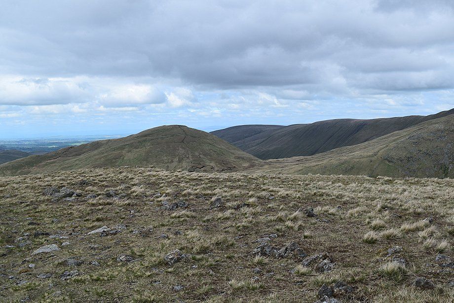 |
| Rest Dodd, Loadpot Hill, Wether Hill and Red Crag |
 |
| The Knott, High Raise and Rampsgill Head |
 |
| High Street, Hayeswater can be brought into view by walking 50 yards to the edge of the summit plateau |
 |
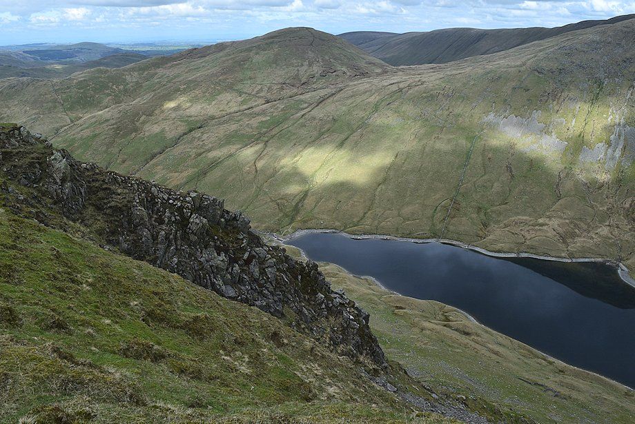
| The foot of Hayeswater |
 |
| The head of Hayeswater |
