 |
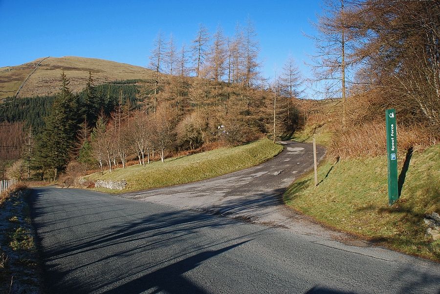
| The Spout Force car park on the forestry road below Darling How Farm is the starting point for this walk |
 |
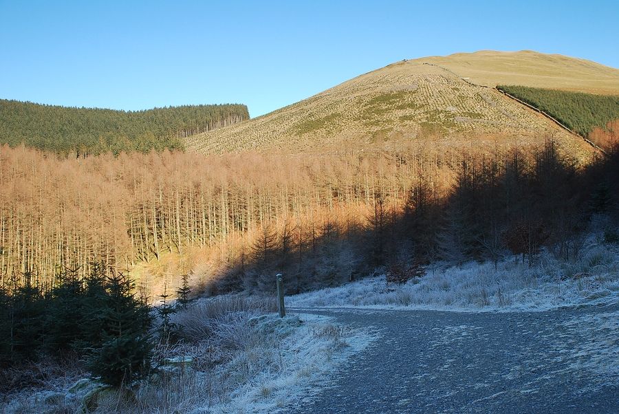
| Graystones from the Spout Force car park |
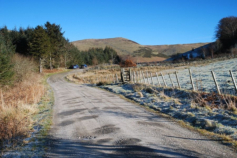 |
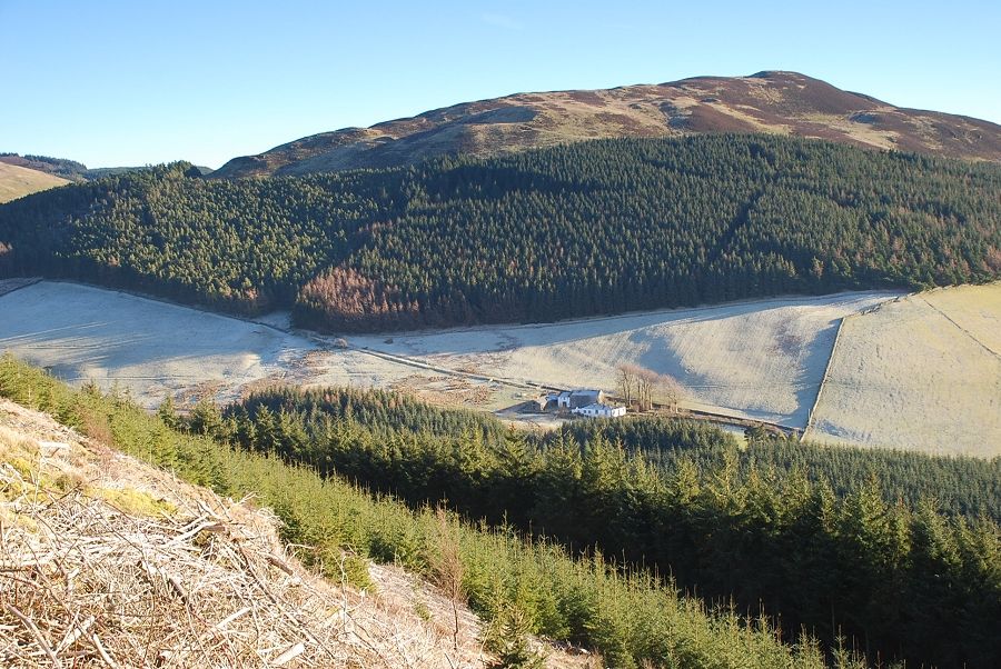
| There are additional car parking places further along the road opposite the driveway to Darling How Farm seen here in the shade on the right. A locked barrier prevents any unauthorised vehicular access beyond that point |
 |
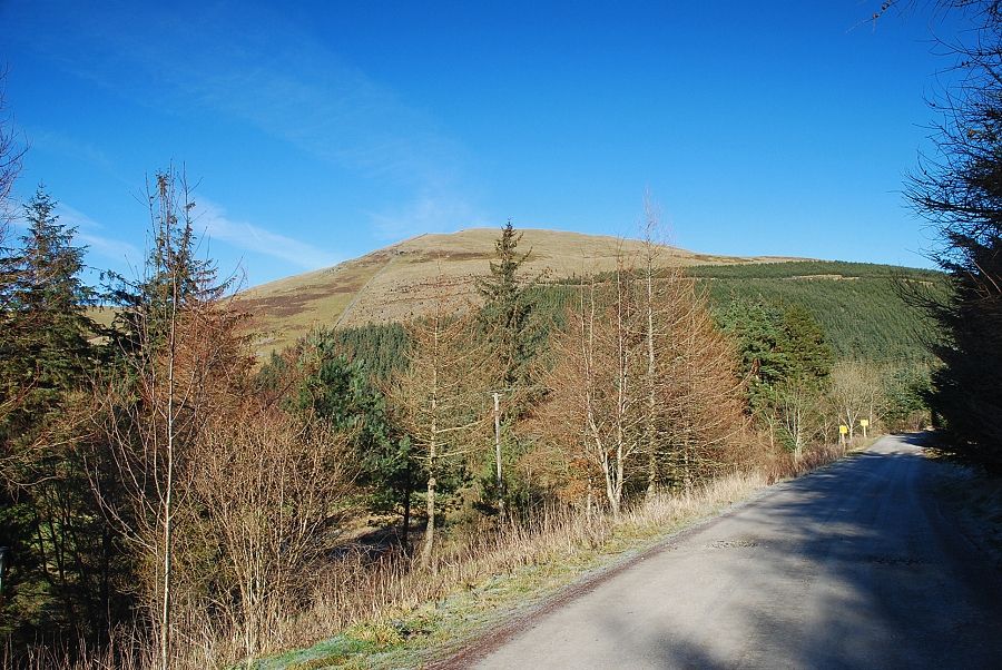
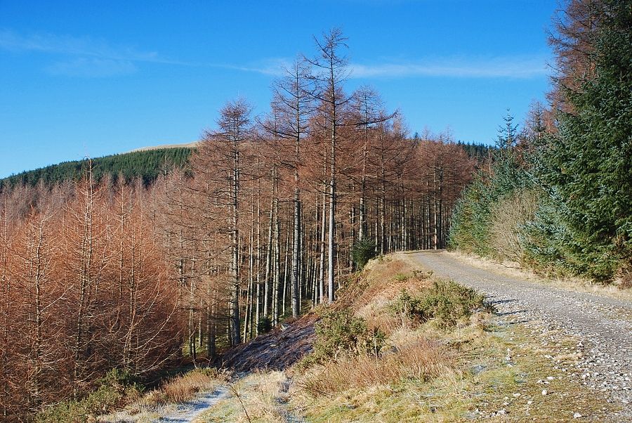
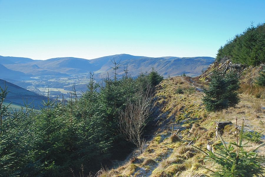
| Looking across to Graystones from the forestry road. The first objective is to reach the forest road just below the top edge of the plantation |
 |
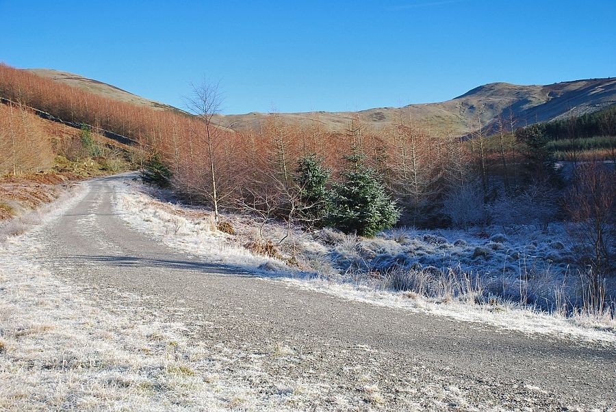
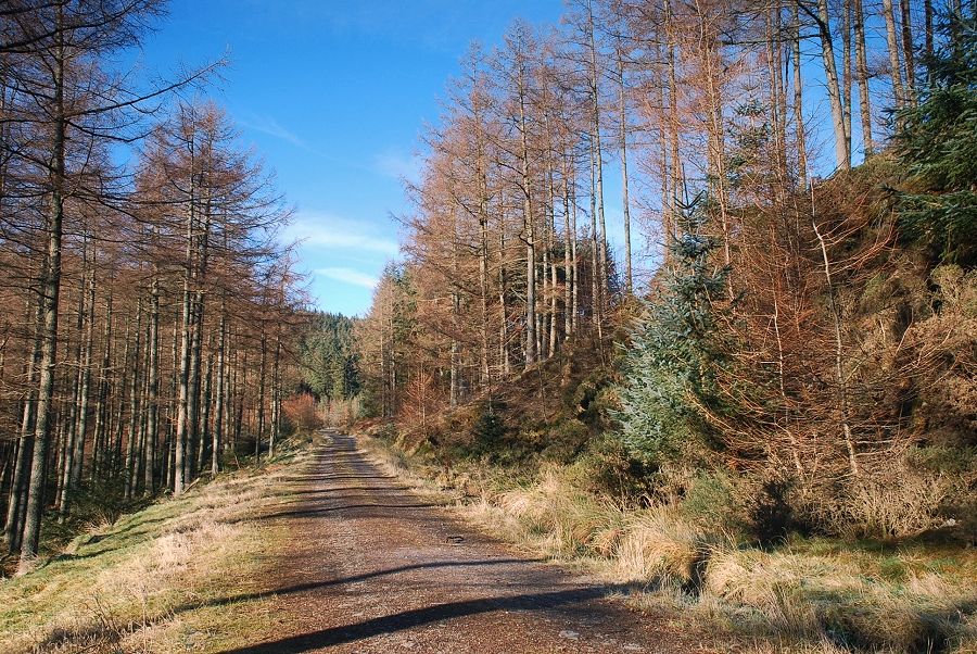
| Four hundred yards beyond the barrier a side road leads down towards Aiken Beck |
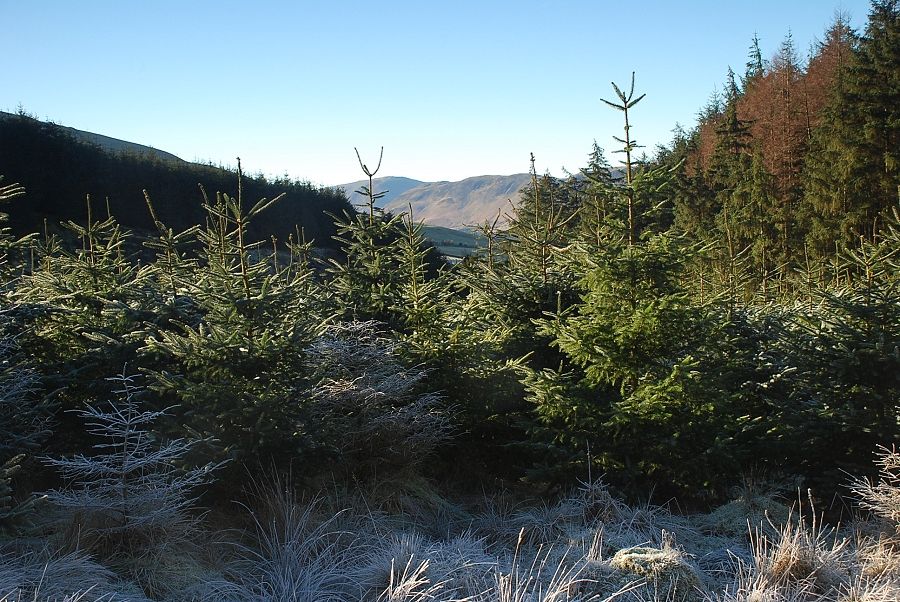 |
| A glimpse over the young conifers of Carling Knott and Low Fell |
 |
| Descending to the bridge over Aiken Beck |
 |
| The head of the Aiken Beck valley from the bridge with Broom Fell on the left and Lord's Seat on the right |
 |
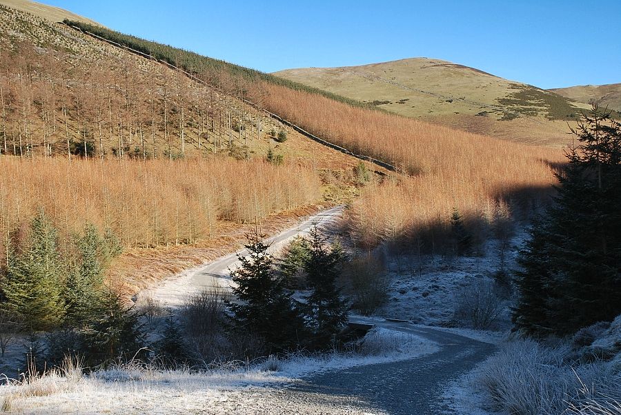
| About two hundred yards further along after the bridge another forest road makes an acute turn into a re-entrant valley below Widow Hause |
 |
| This road rises steadily towards Widow Hause before looping back across the south-eastern slopes of Graystones |
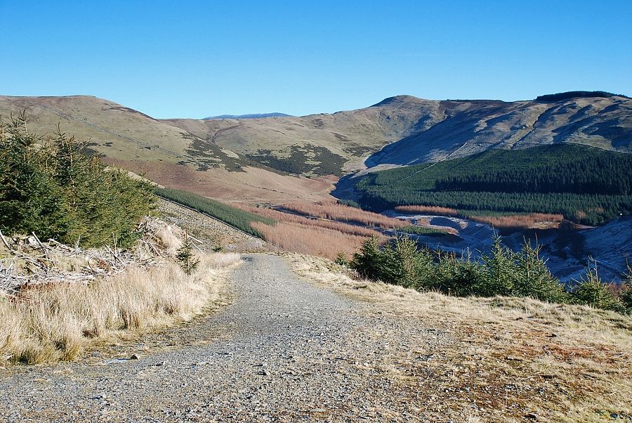 |
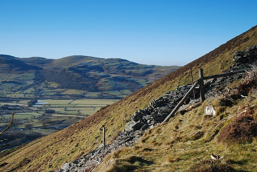
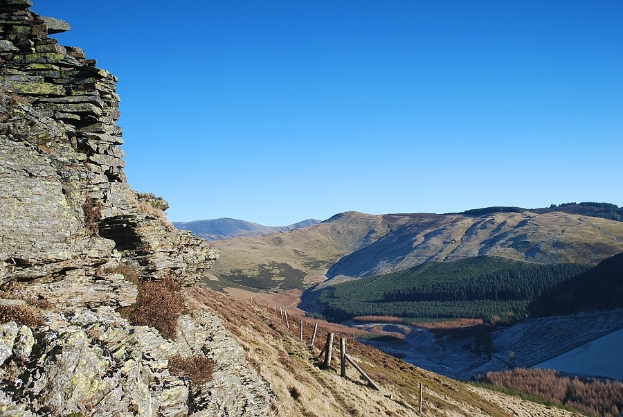
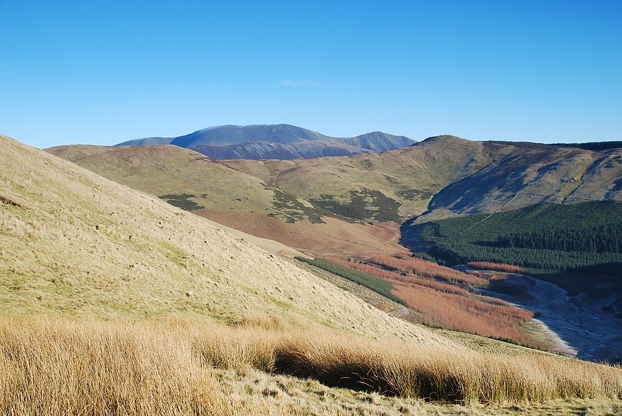
| The Aiken Beck valley from the south-eastern slopes of Graystones with the summit of Skiddaw appearing over the ridge at its head |
 |
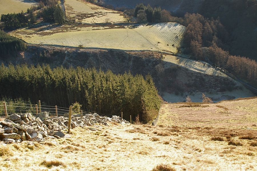
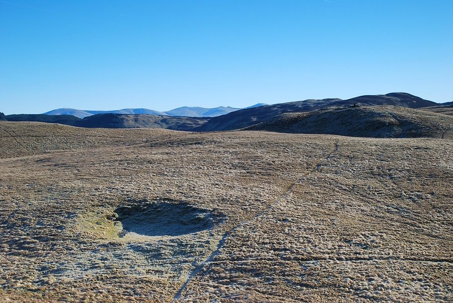
| At a wide turning circle, where the road turns back towards Widow Hause, a smaller track continues on across the south-eastern slopes of Graystones. This is the track that was visible from the road in the valley near Darling How Farm |
 |
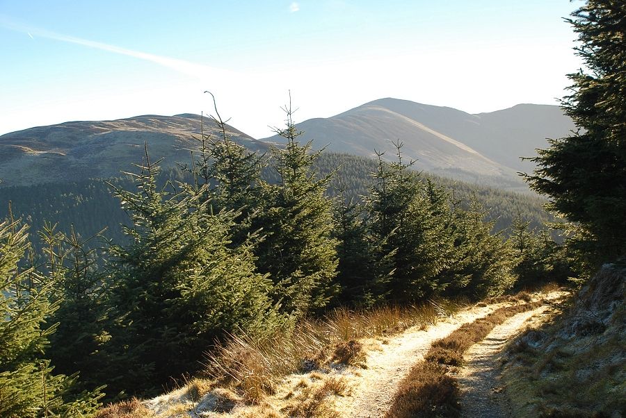
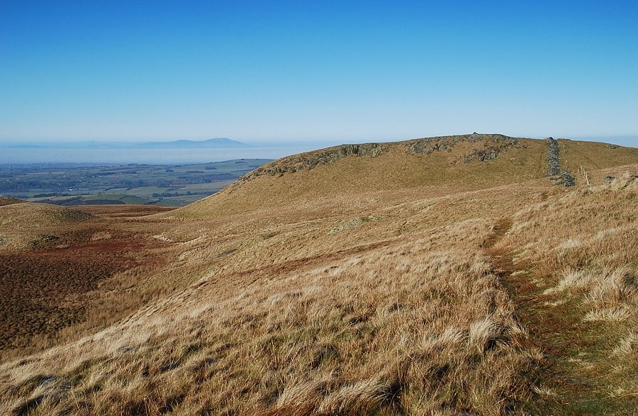
| The Loweswater fells from the track |
 |
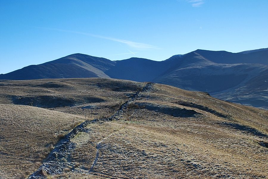
| After passing through an area of felled trees, the track ends at a wire fence which is easily crossed to gain the open fellside beyond a ruined wall |
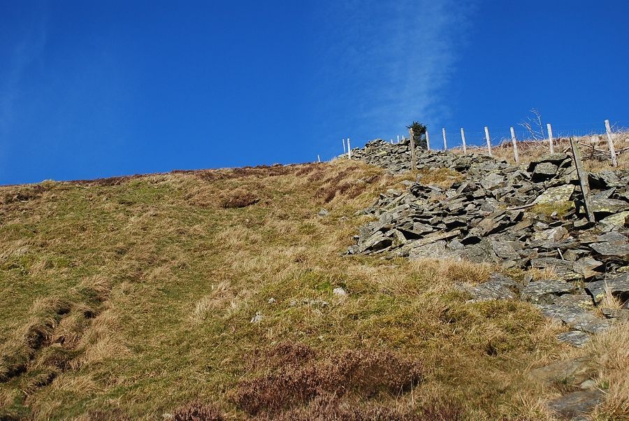 |
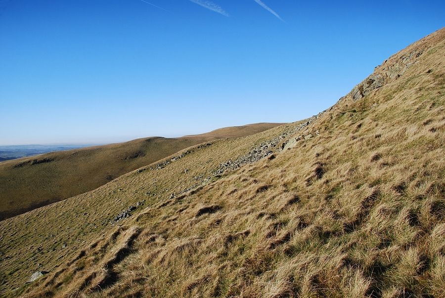
| Now it's only a matter of following the wall on a very steep ascent to the summit |
 |
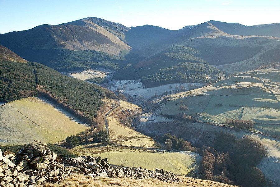
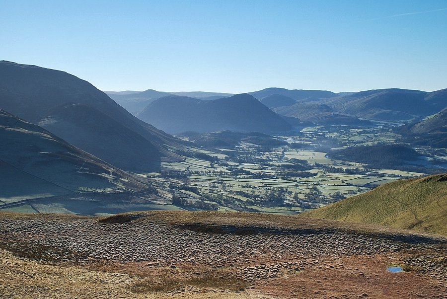
| Looking back down the steep southern slope of Graystones. The start of the walk, Spout Force car park, can be seen amongst the trees on the upper left. Scawdel Bridge, which is the usual starting point for this ascent, is on the extreme centre right of the photo |
 |
| Looking back to the summit of Brown How on Whinlatter and Darling How Farm |
 |
| The path encounters a rocky step which it turns on the left |
 |
| Looking across to the southern slopes of Kirk Fell, a subsidiary top of Graystones |
 |
| Looking back to Grisedale Pike and Hopegill Head enclosing the Hobcarton valley |
 |
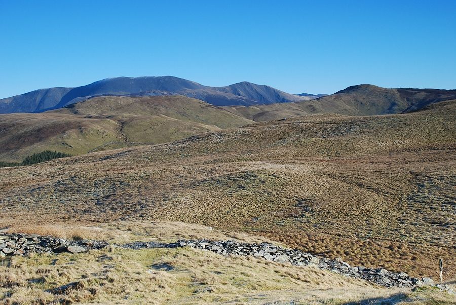
| Skiddaw and Skiddaw Little Man over the ridge between Broom Fell and Lord's Seat |
 |
| The summit of Graystones comes into view |
 |
| The cairn on what AW regarded to be the summit of Graystones. Later OS maps now identify a knoll to the south-east as the true summit of the fell |
 |
| Looking east to Broom Fell overtopped by Skiddaw with Lord's Seat on the right |
 |
| The Helvellyn range on the skyline. Whinlatter on the right above the true summit of Graystones |
 |
| Grisedale Pike, Eel Crag, and Hopegill Head |
 |
| The Vale of Lorton |
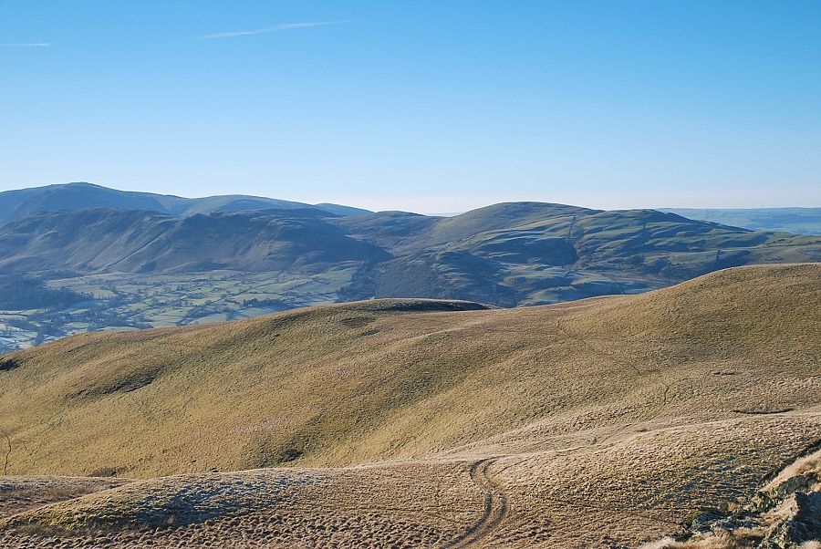 |
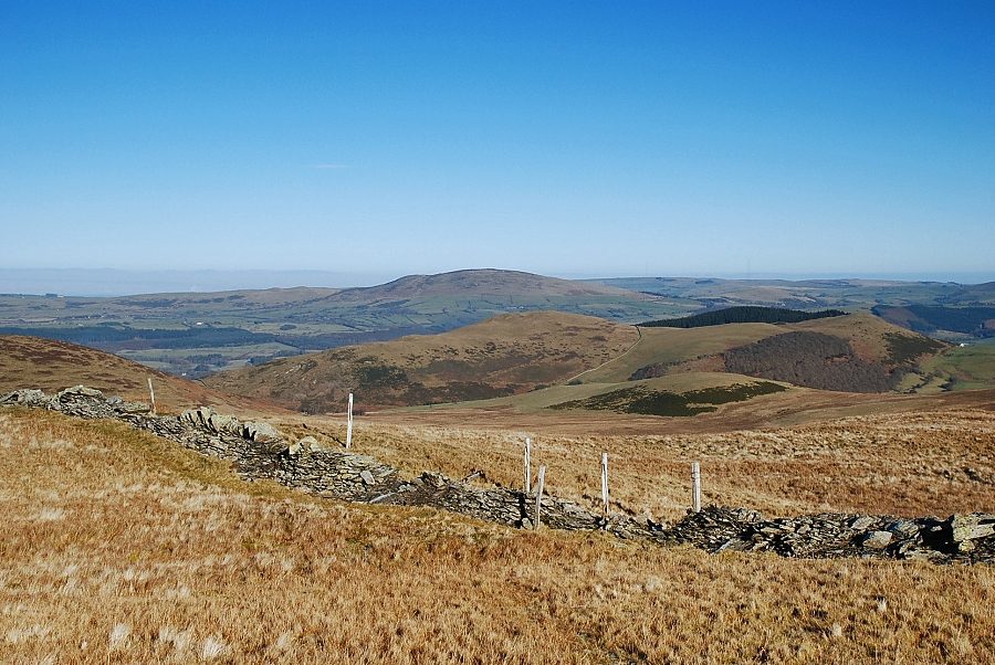
| Low Fell and Fellbarrow with Blake Fell, Burnbank Fell and Owsen Fell on the left skyline |
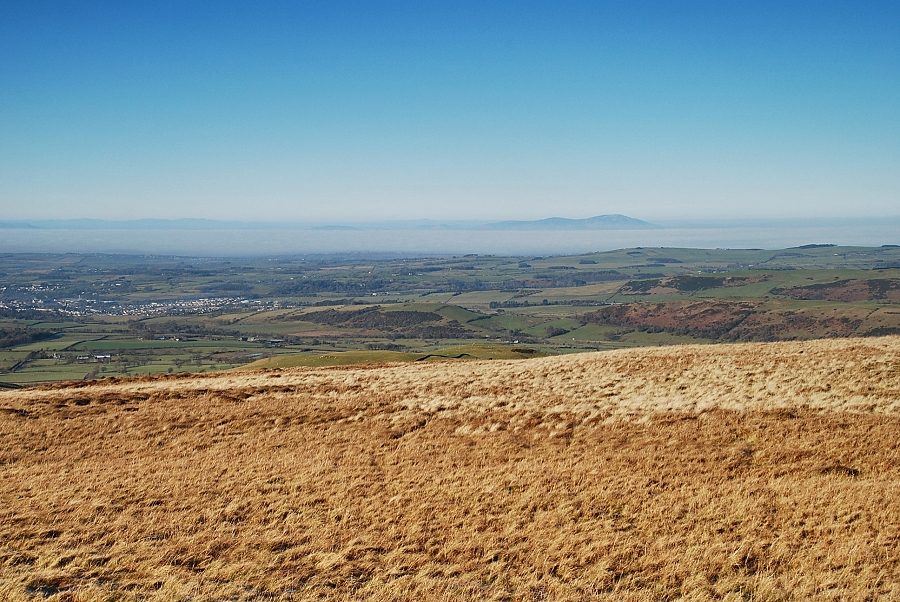 |
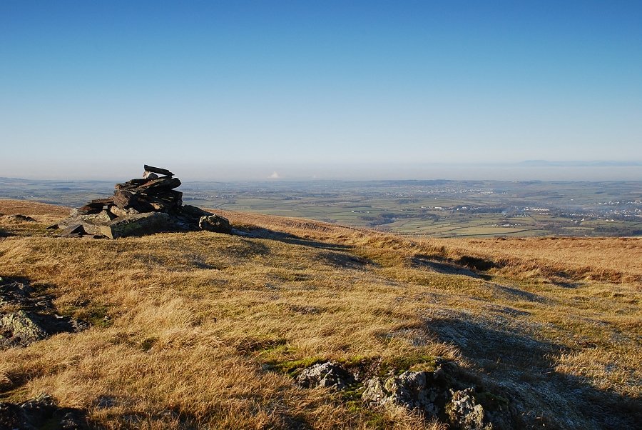
| The Solway Firth with Boreland Hill and Criffel on the Scottish coast |
 |
| Binsey with Sale Fell in the middle distance |
