
| Great Borne - Route One |
| Start - Bowness Knott NY 110 152 | Distance - 1.6 miles | Ascent - 1,640 feet | Time - 1 hour : 30 minutes |
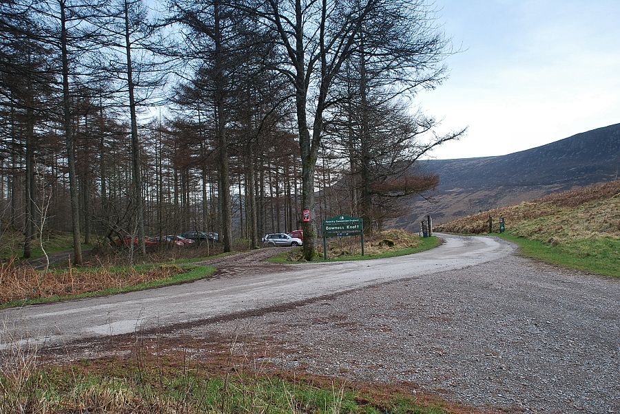 |
| The Forestry Commission car park at Bowness Knott is the starting point for this walk |
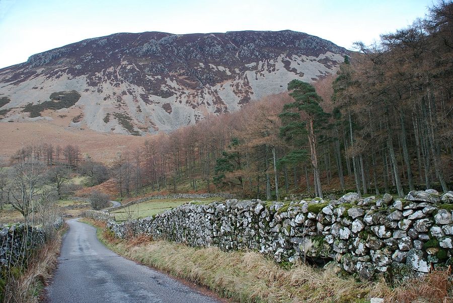 |
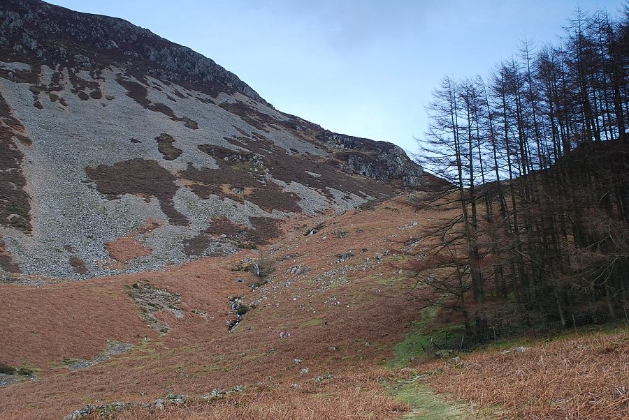
| Walking back along the road to the start of the path, the scree slopes of Herdus Scaw dominate the view ahead |
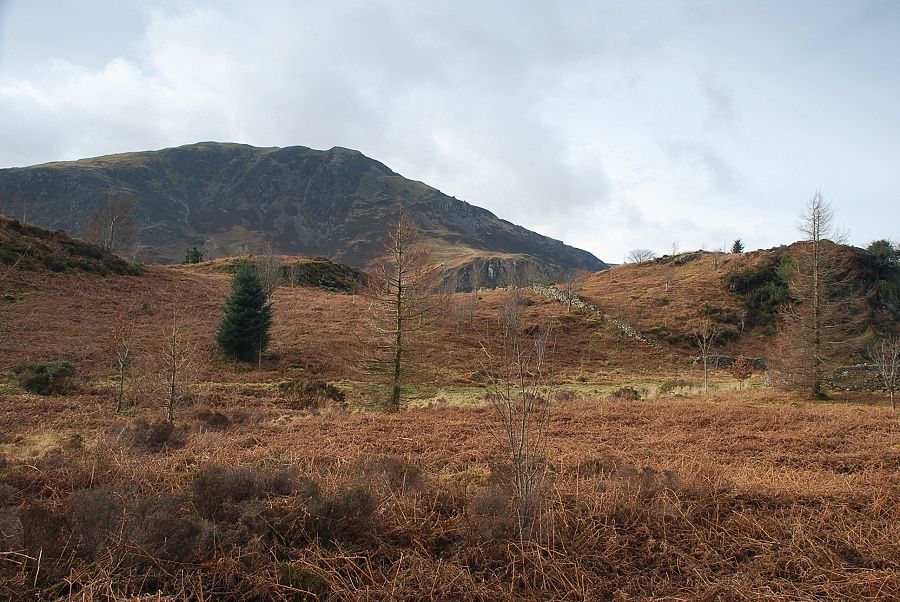 |
| Looking over to Crag Fell from the road |
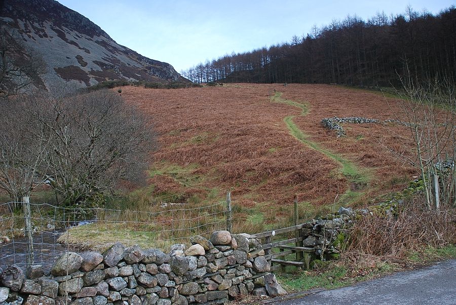 |
| Almost half a mile from the car park, where the road bends to the left, a stile gives access to the open fellside with Rake Beck on the left |
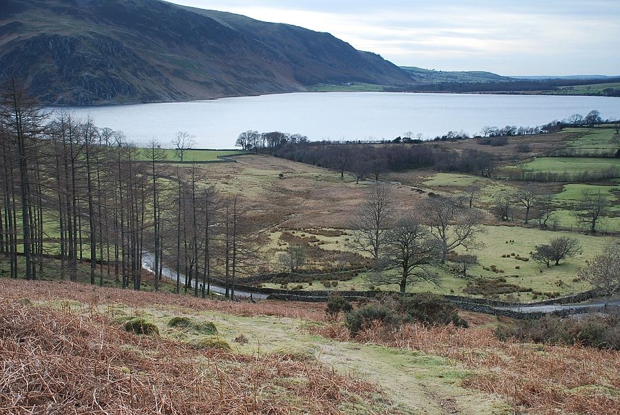 |
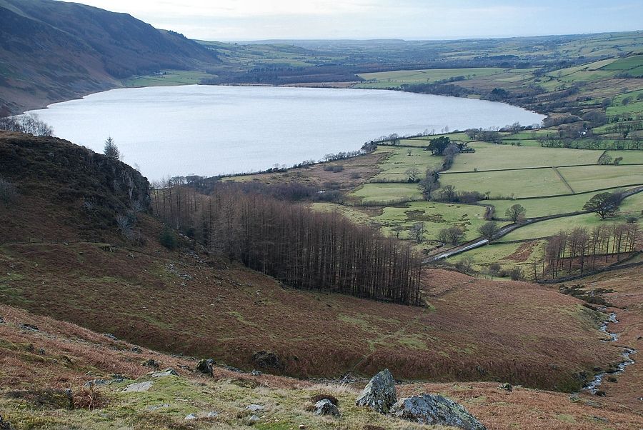
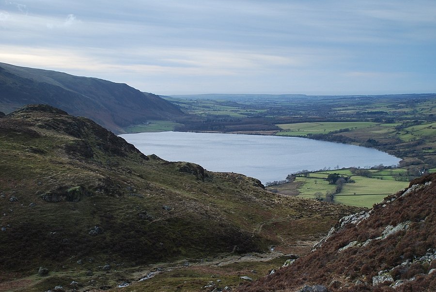
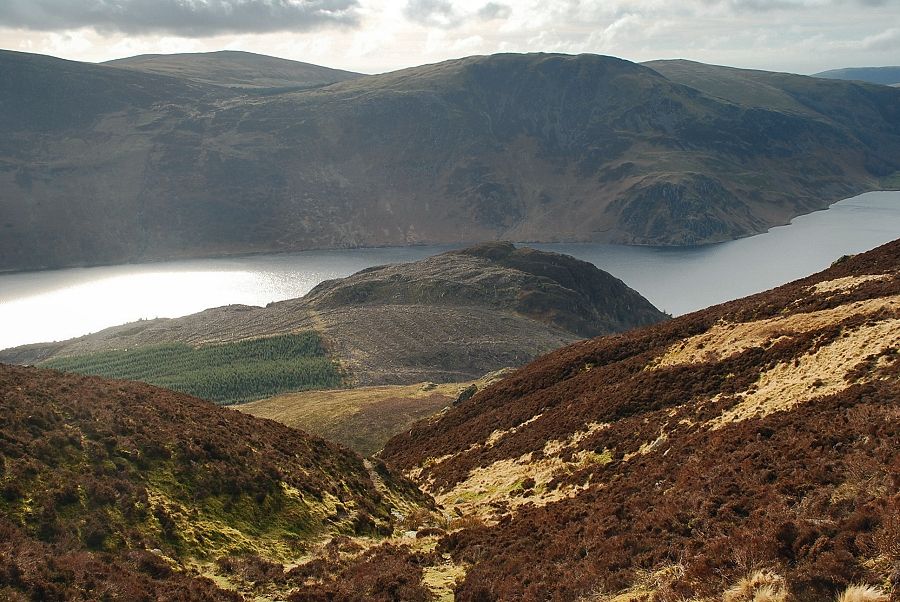
| Looking back to Ennerdale Water from the start of the climb |
 |
| The path rises to a corner of the forest fence where it forks, keep straight on. The right-hand path leads to the summit of Bowness Knott |
 |
| Looking back from above the corner of the forest fence |
 |
| After crossing a minor stream the path traverses back towards Rake Beck as it rises to the col between Great Borne and Brown How |
 |
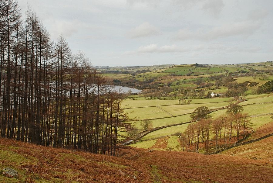
| Looking back from the climb to the col, the path to the summit of Bowness Knott can be seen on the left rising from the corner of the forest |
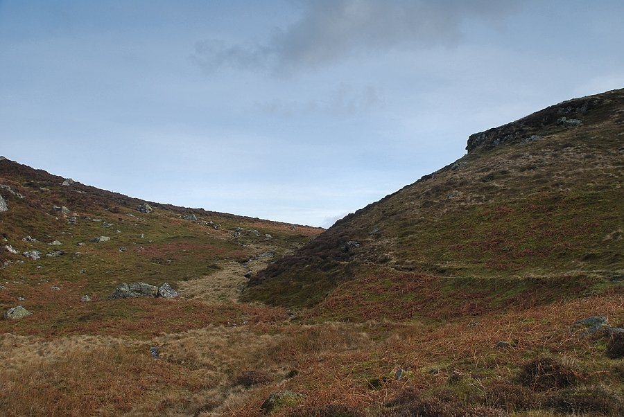 |
| Approaching the col between Great Borne and Brown How |
 |
| Looking back along the course of Rake Beck from the col |
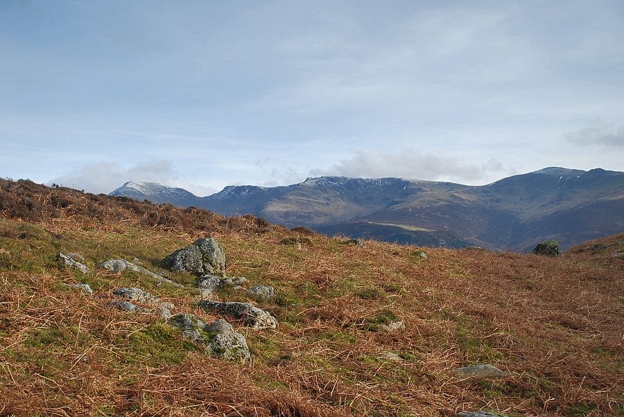 |
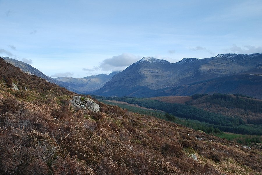
| Pillar, Steeple, Scoat Fell and Haycock appear over the top of the col |
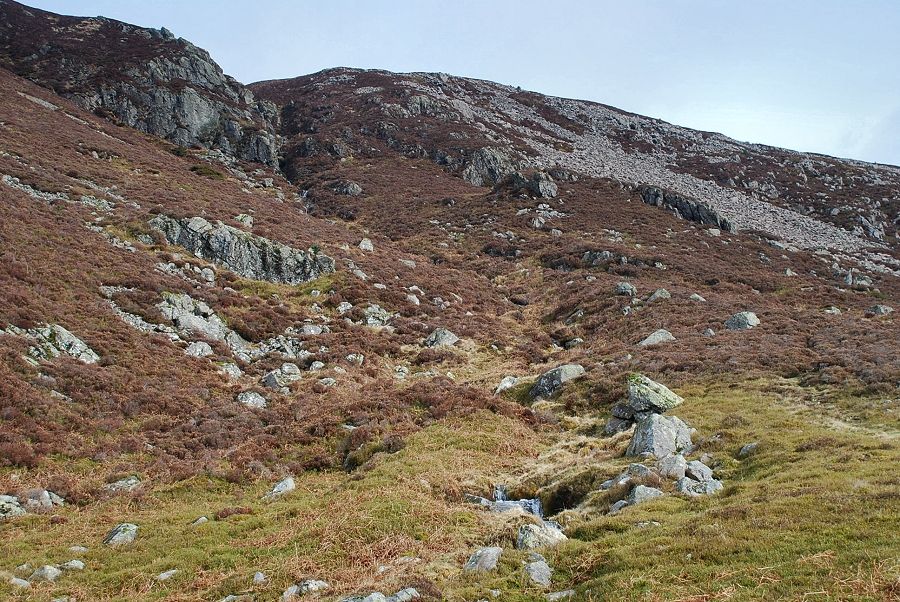 |
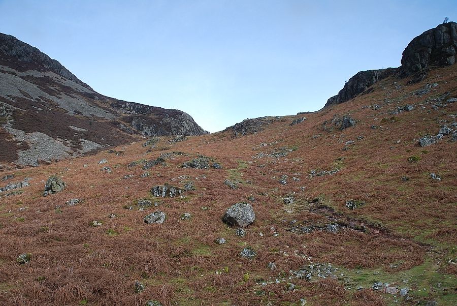
| From the col a clear path through the heather leads up towards the Rake Beck ravine |
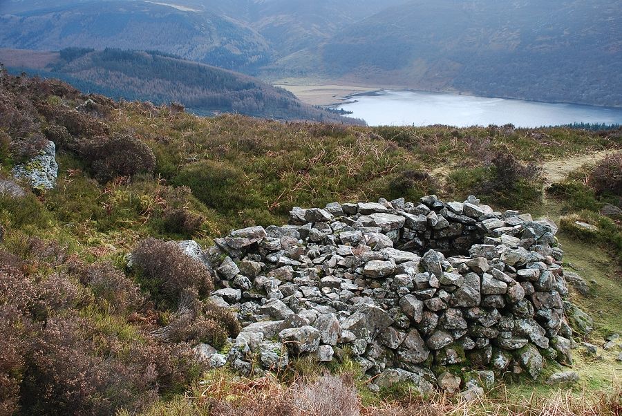 |
| Just above the col there is a good example of a fox trap, built by shepherds of old. Nearby to the west of it, at the foot of scree slope, is a partially blocked up borran |
 |
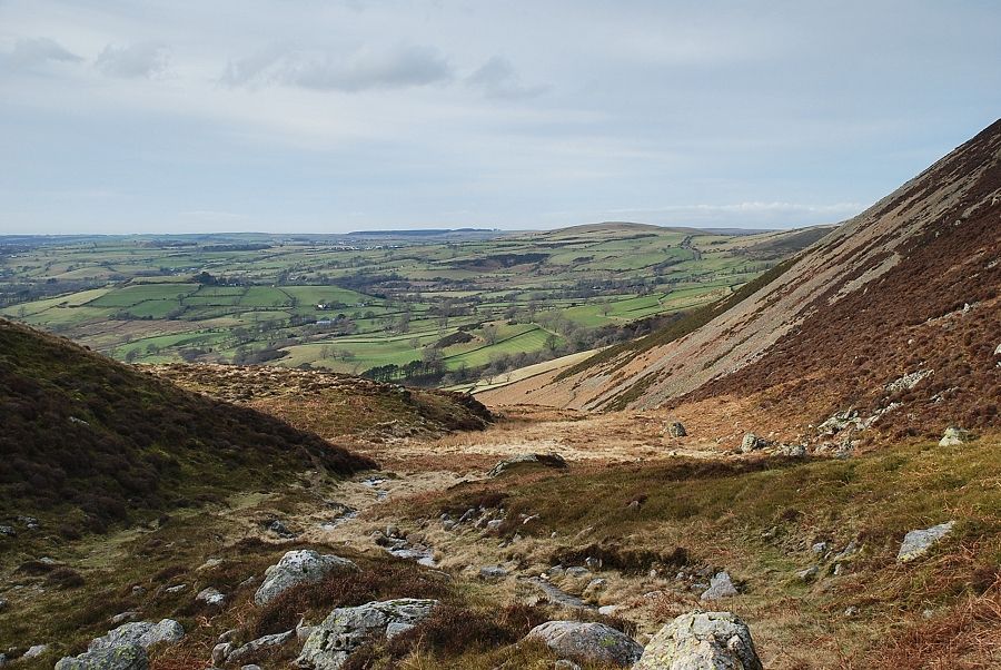
| Looking back to the col from the climb to the ravine |
 |
| The head of Ennerdale from the path below the ravine |
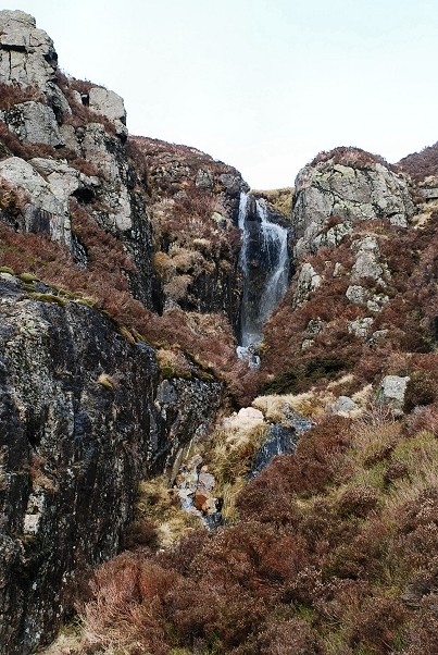 |
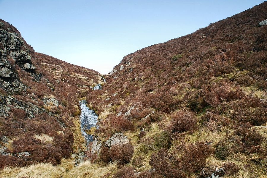
| The path becomes much steeper and eroded as it nears the waterfall in the ravine |
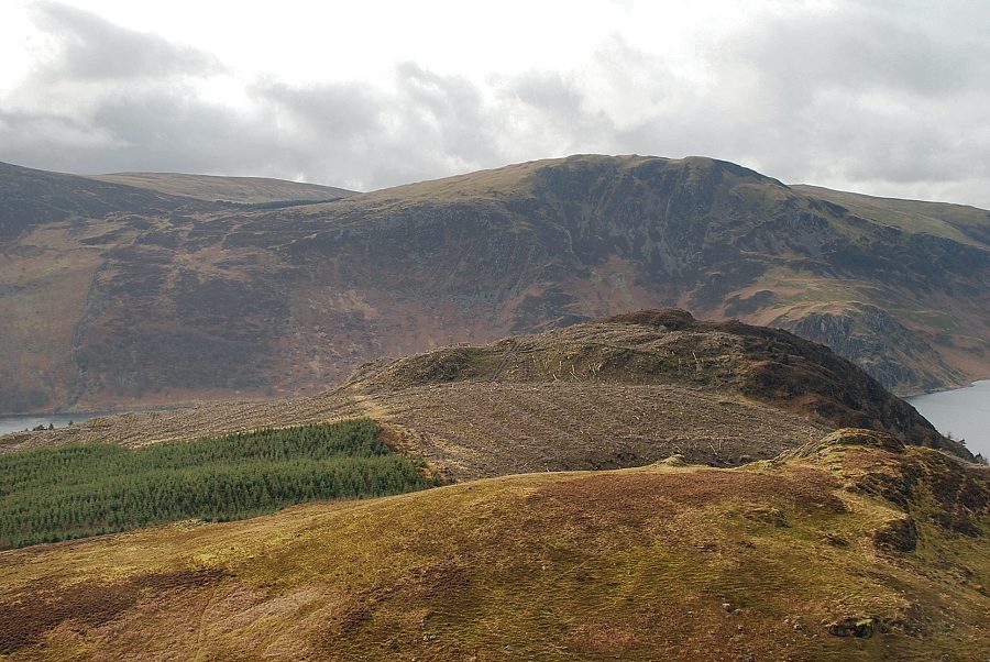 |
| Looking over Brown How and Bowness Knott to Grag Fell from below the waterfall |
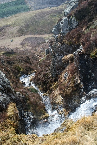 |
| Looking down the ravine from the top of the waterfall |
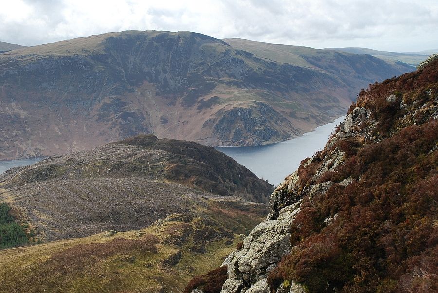 |
| Crag Fell from the top of the waterfall |
 |
| Above the waterfall the ravine opens out and eventually merges into the upper slopes where the path veers right towards the summit of Great Borne |
 |
| Looking down the upper part of the ravine |
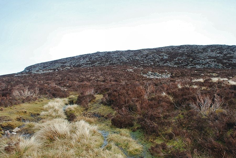 |
| The final climb to the summit from the top of the ravine |
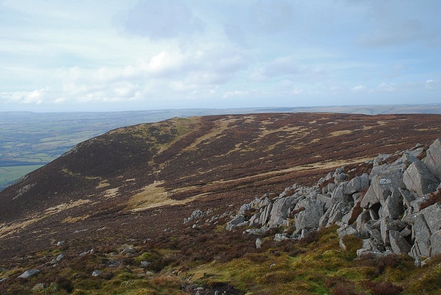 |
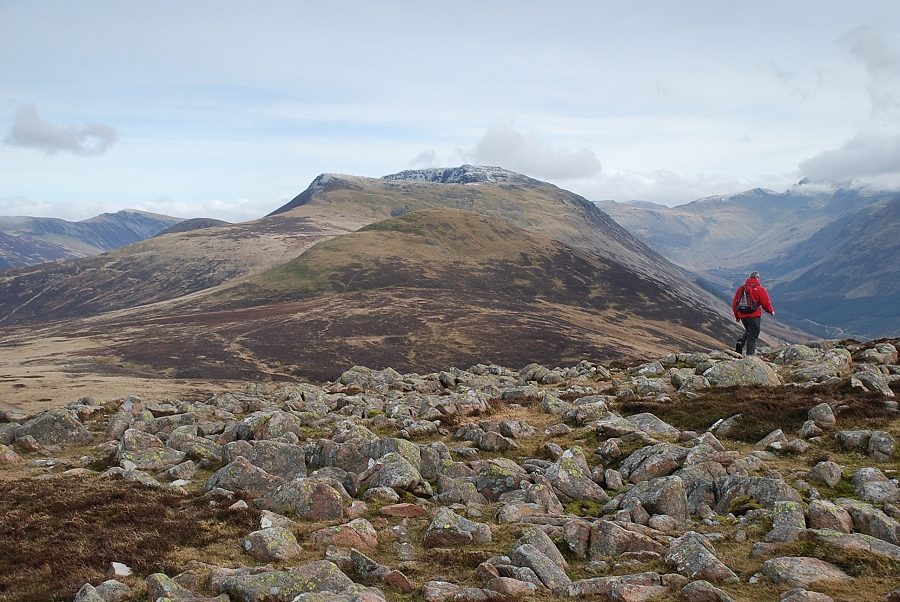
| Looking back to the summit of Herdus, the subsidiary top of Great Borne |
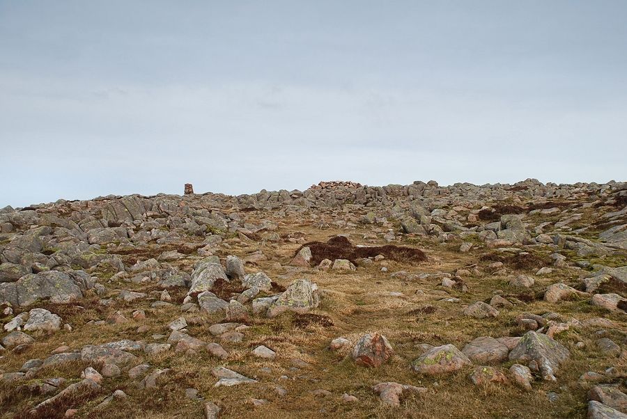 |
| The summit comes into view |
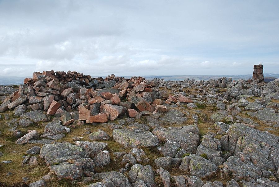 |
| The summit wind shelter and trig column |
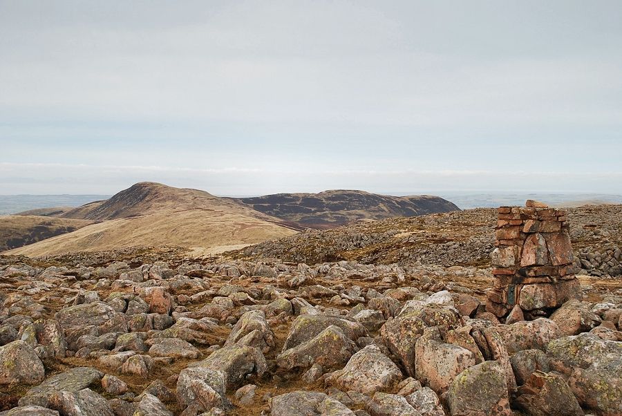 |
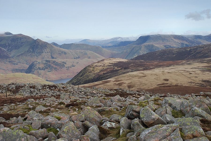
| Gavel Fell, Blake Fell and Carling Knott from the summit of Great Borne |
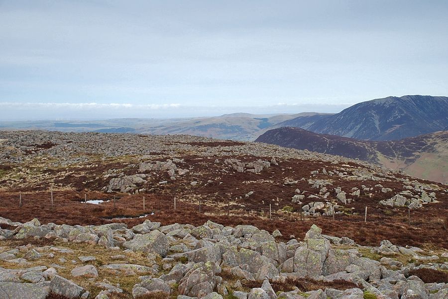 |
| Looking north to Binsey on the horizon with Whiteside on the right over the ridge of Mellbreak |
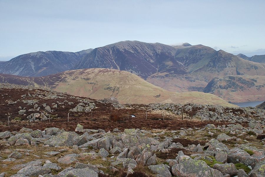 |
| The Grasmoor group of fells over Mellbreak |
 |
| Looking east over Gale Fell, Clough Head and Great Dodd on the centre skyline |
 |
| The connecting ridge to Starling Dodd, Red Pike and High Stile |
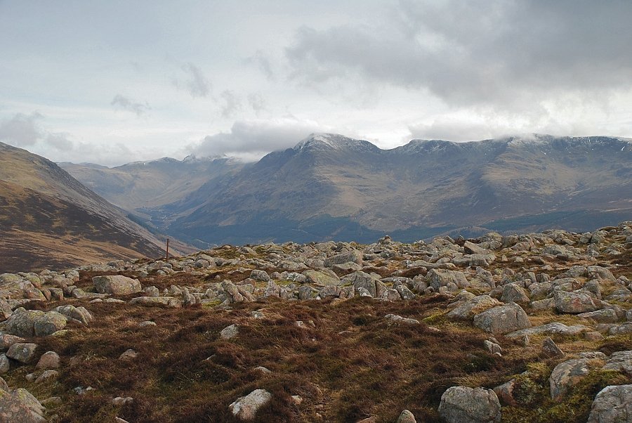 |
| Clouds sweeping across the summits of Great Gable, Pillar and Scoat Fell |
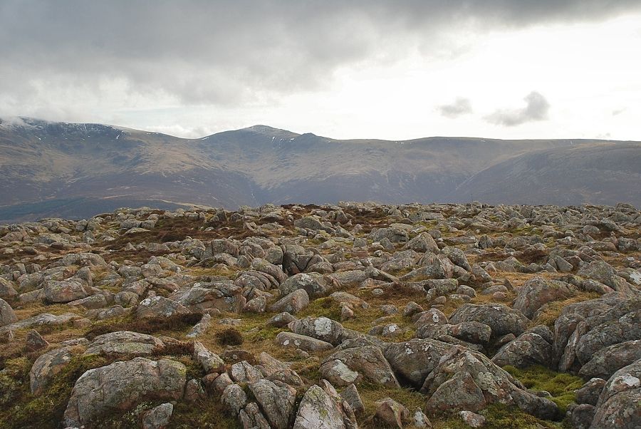 |
| Looking south to Haycock and Caw Fell |
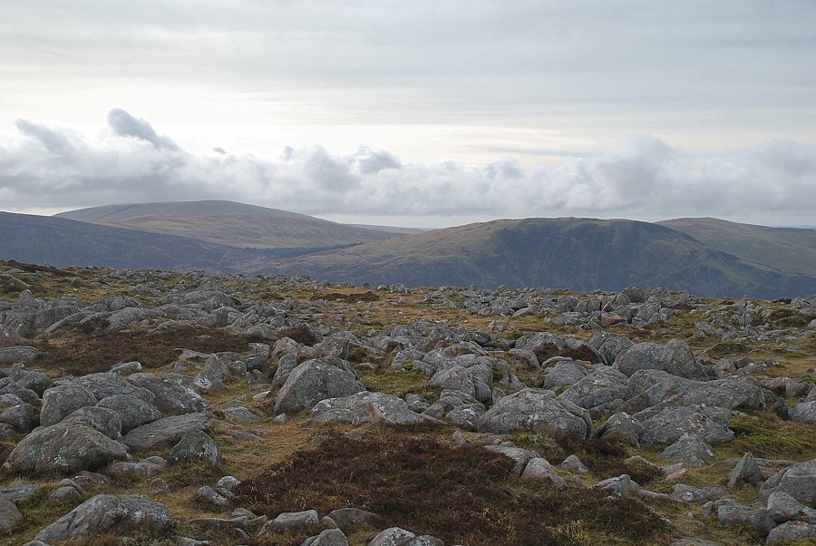 |
| Lank Rigg, Crag Fell and Grike |
|