
| Great Mell Fell - Route One |
| Start - Brownrigg Farm NY 407 247 | Distance - 1 mile | Ascent - 900 feet | Time - 50 minutes |
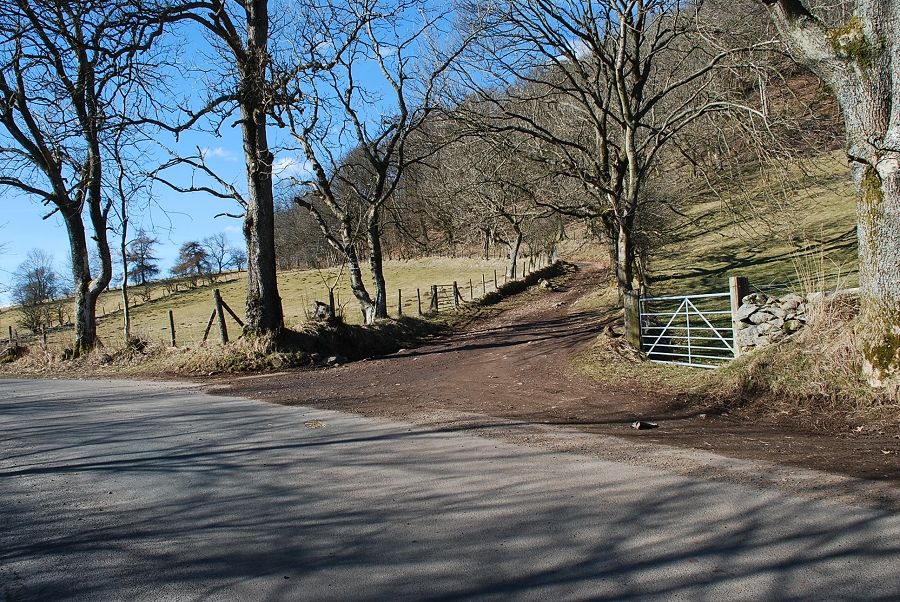 |
| A rough surfaced lane located one mile north east from Matterdale End is the starting point of this walk. There is limited parking beside the lane end |
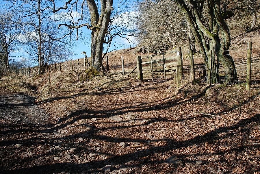 |
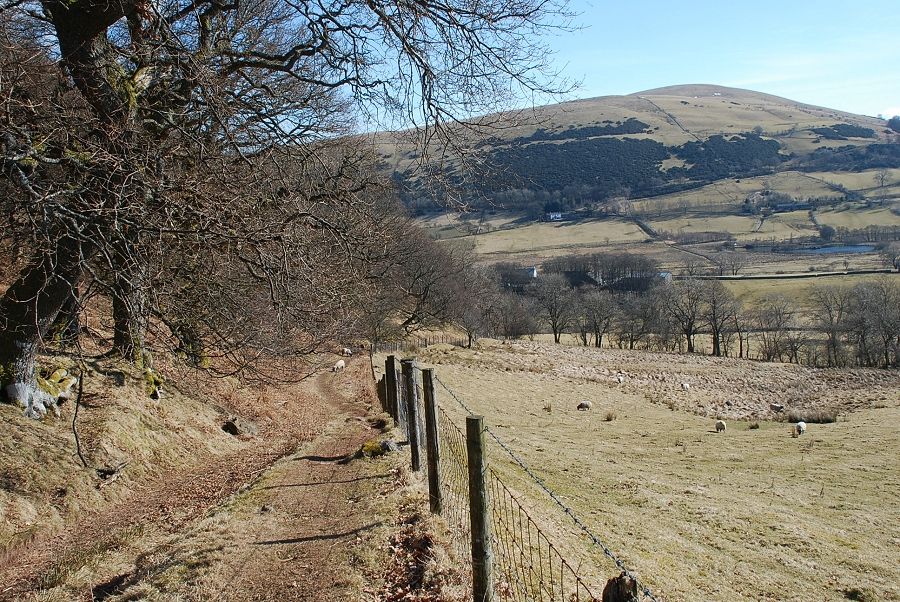
| Ignore the first gate/stile beside the National Trust sign, it only gives access to a path which makes a circuit of the fell. Continue on to a second gate/stile which is about 180 yards from the start of the lane |
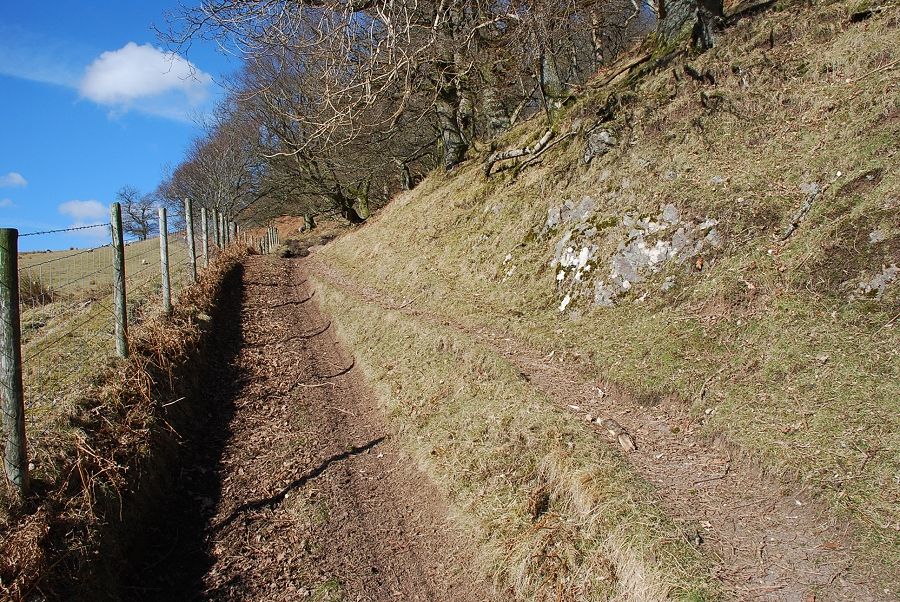 |
| Over the stile the path climbs beside a fence beneath mixed deciduous woodland |
 |
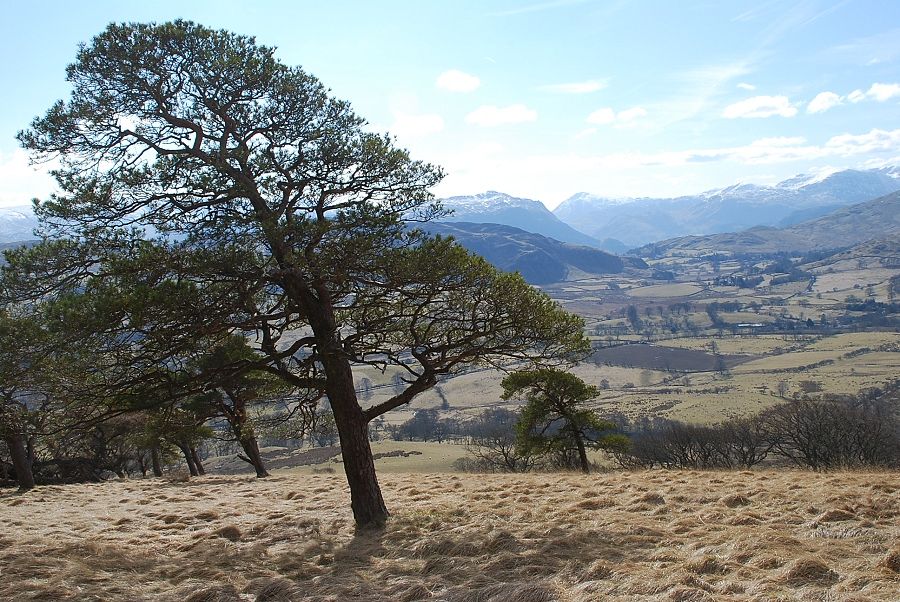
| Looking left from the path to St. Sunday Crag and Fairfield framed between the slopes of Gowbarrow Park and Watermillock Common |
 |
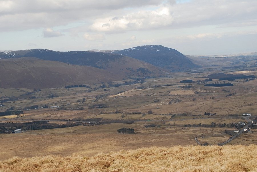
| Looking back along the path to Little Mell Fell |
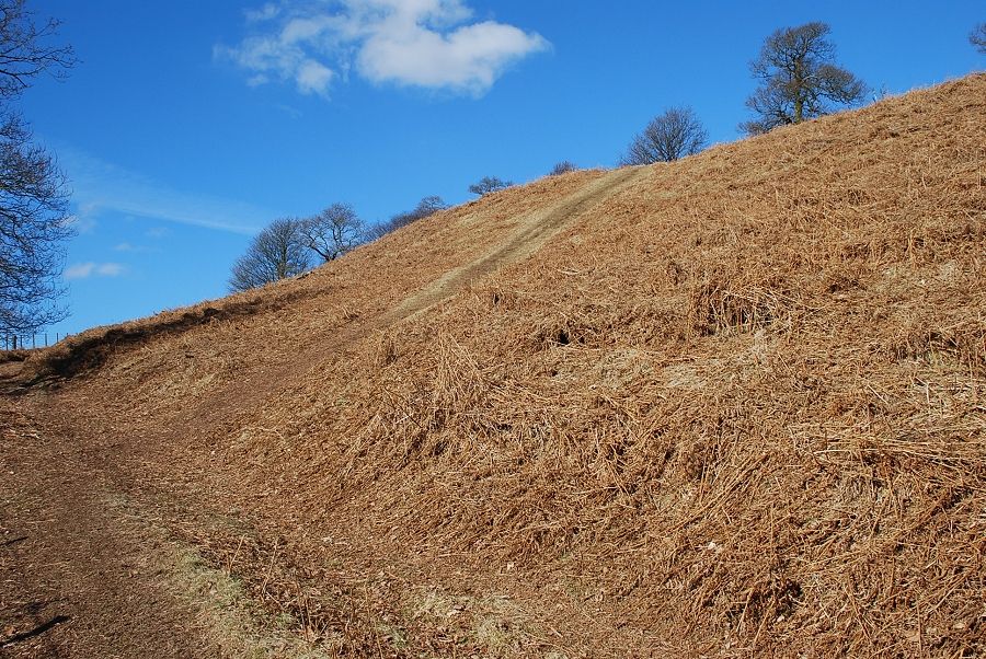 |
| Past the deciduous trees a path branches off to right climbing steeply towards the south east ridge of the fell |
 |
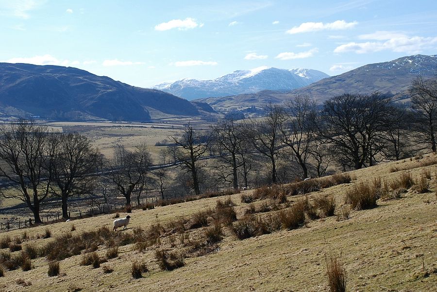
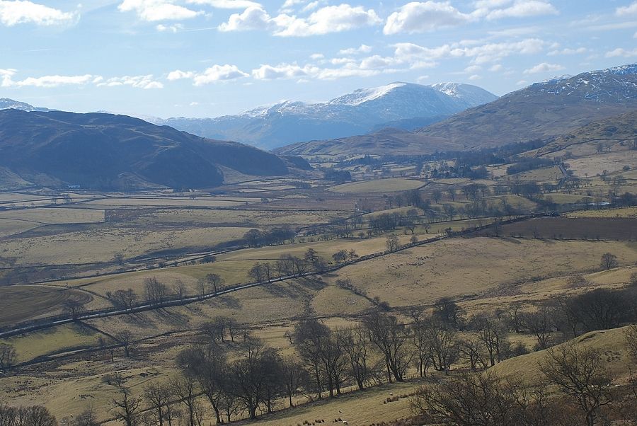
| Looking back to a distant Helvellyn with Hart Side and Stybarrow Dodd on the right |
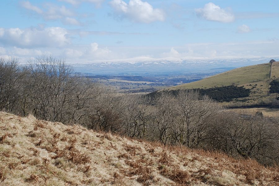 |
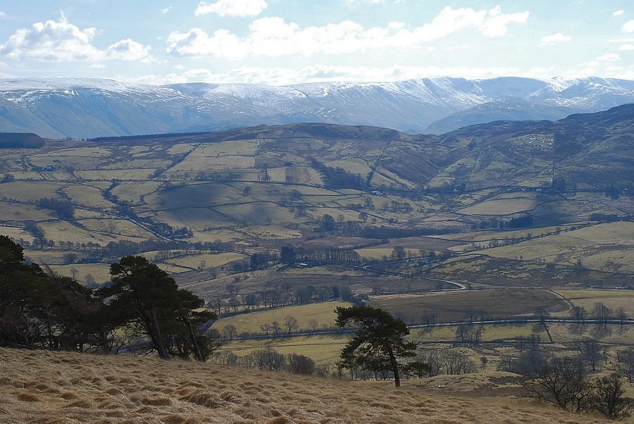
| The Pennines across the Eden Valley |
 |
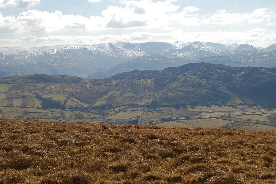
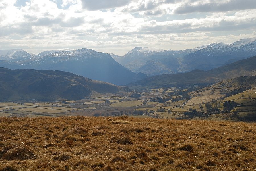
| Hart Crag, St. Sunday Crag and Fairfield |
 |
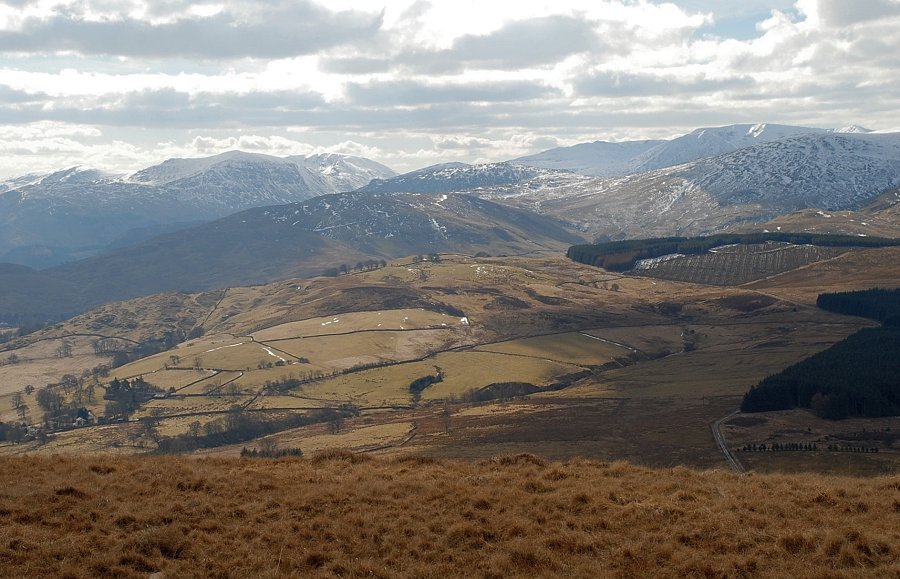
| Looking across Matterdale Common to Hart Side, Stybarrow Dodd and Great Dodd |
 |
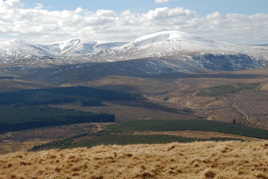
| Clough Head |
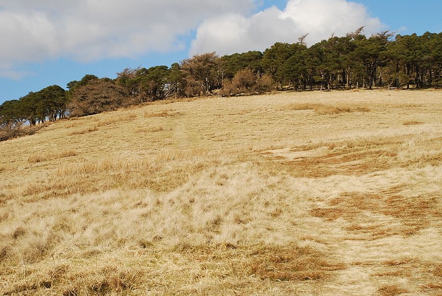 |
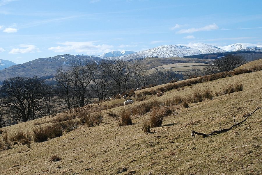
| Halfway up the south east ridge the path approaches an old plantation of Scots Pine |
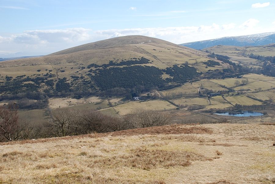 |
| Looking back to Little Mell Fell |
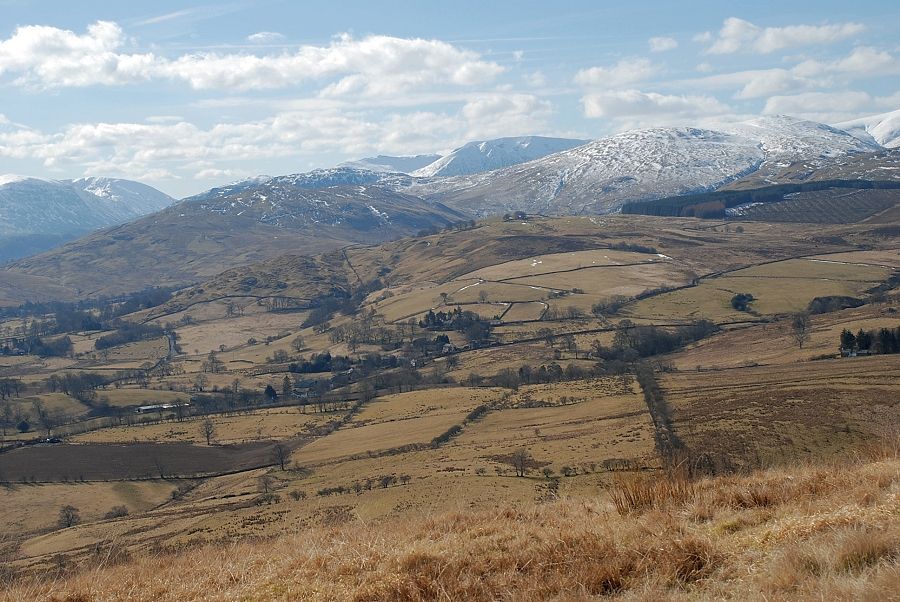 |
| Looking across to Helvellyn |
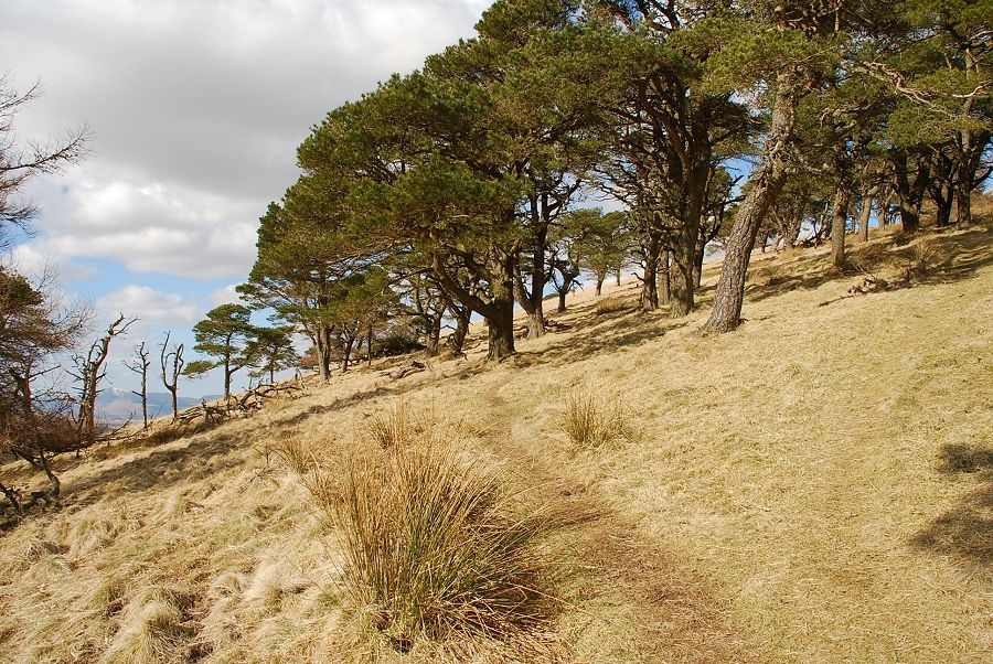 |
| There is a choice of paths through the Scots Pine, the most popular one passes through the western edge of the plantation |
 |
| Looking back towards Place Fell and Red Screes in thedistance |
 |
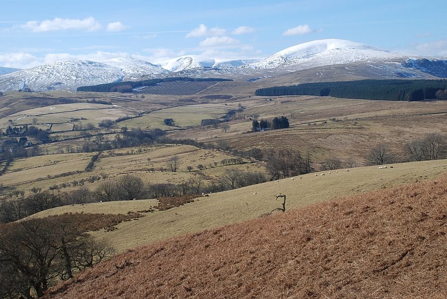
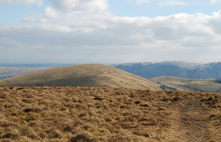
| The Far Eastern Fells across the Great Meldrum ridge |
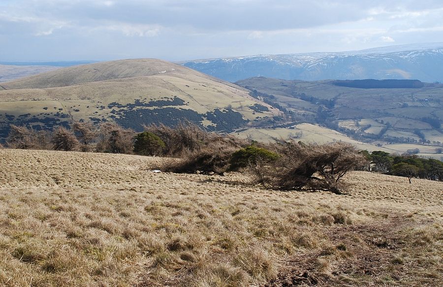 |
| Leaving the Scots Pines behind and looking back to Little Mell Fell and Little Meldrum backed by Arthur's Pike and Bonscale Pike |
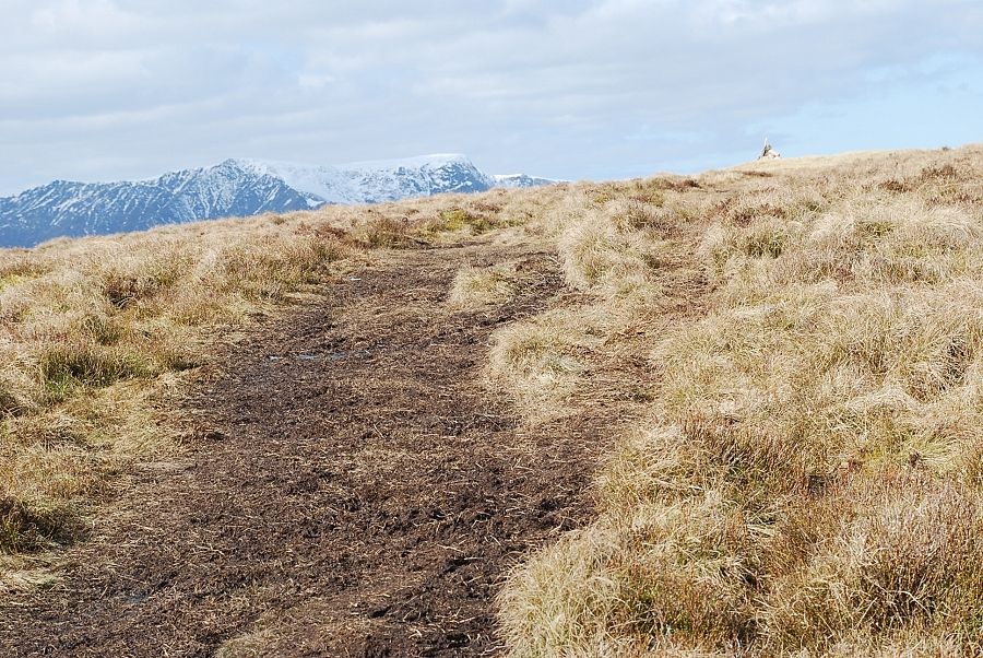 |
| Approaching the summit |
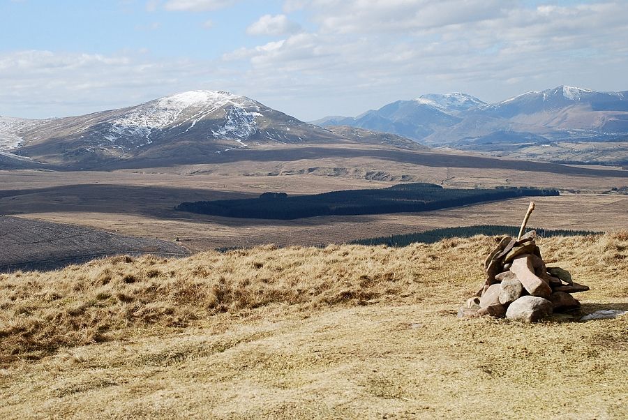 |
| The summit of Great Mell Fell |
 |
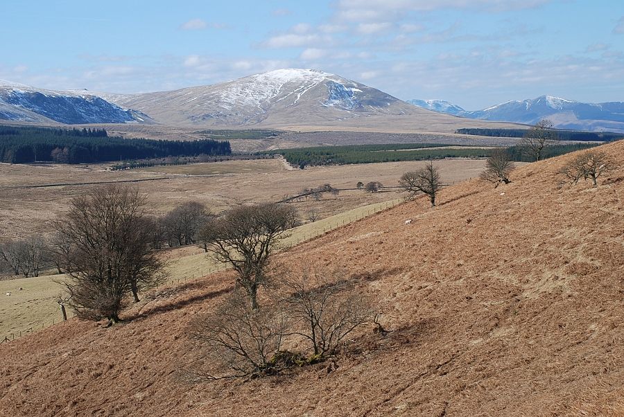
| Looking north west to Souther Fell, Bowscale Fell and Carrock Fell |
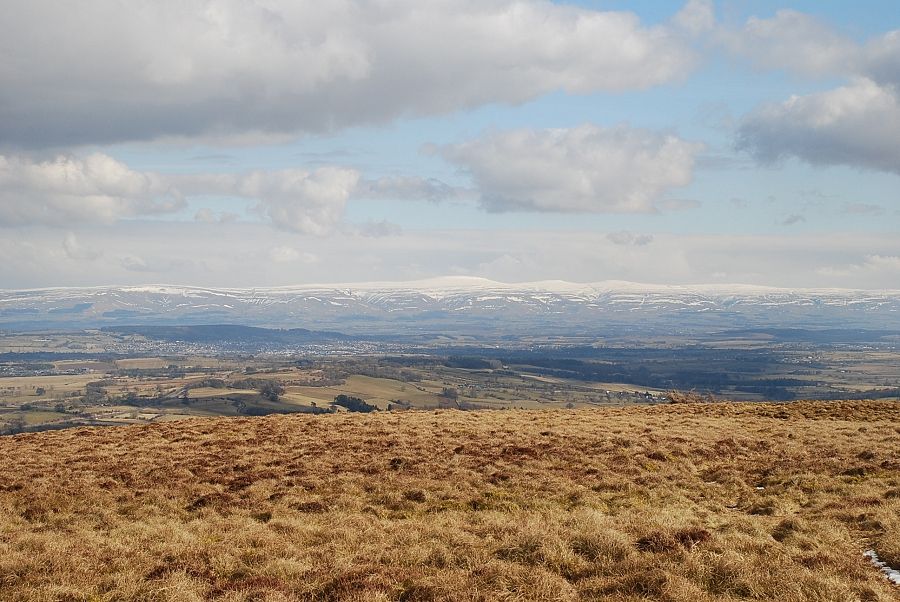 |
| The Pennines across the Eden Valley |
 |
| Little Mell Fell and Arthur's Pike |
 |
| On the skyline - Wether Hill, High Raise, Rampsgill Head, High Street and Thornthwaite Crag |
 |
| Looking to Place Fell and Red Screes |
 |
| The Fairfield group of fells on the left with Helvellyn on the right |
 |
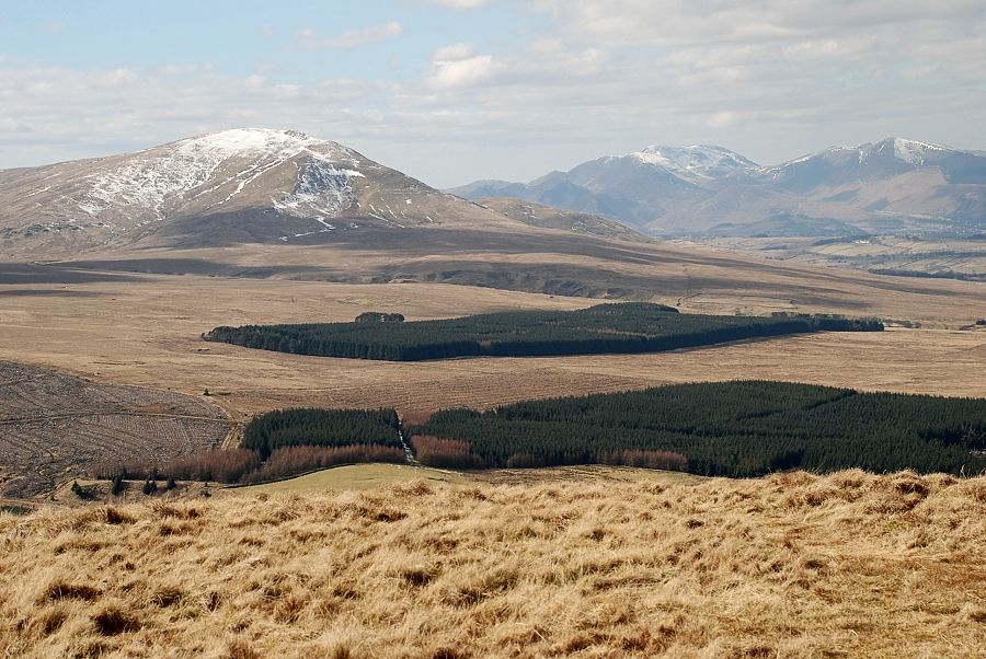
| Hart Side, Stybarrow Dodd and Great Dodd |
 |
| Clough Head with the North Western Fells on the right |
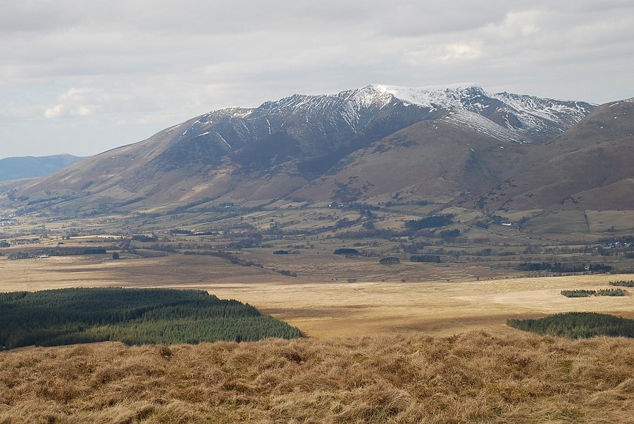 |
| Blencathra |
|