
| Green Gable - Route One |
| Start - Seathwaite NY 235 122 | Distance - 2 miles | Ascent - 2,230 feet | Time - 1 hour : 55 minutes |
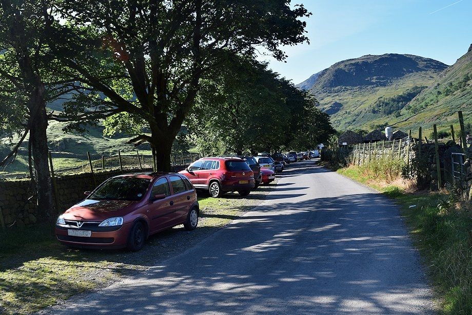 |
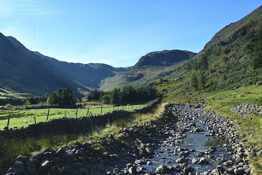
| The approach lane to Seathwaite Farm is the starting point for this walk |
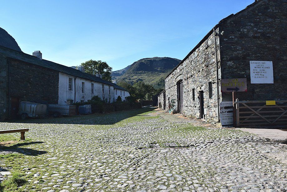 |
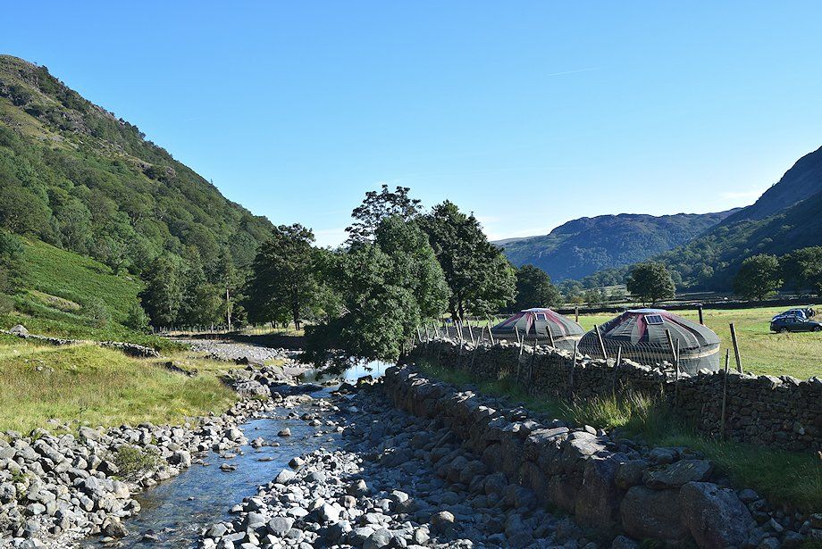
| Seathwaite Farm |
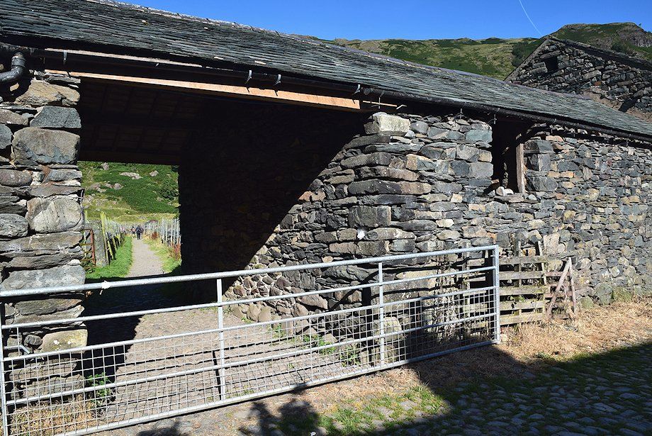 |
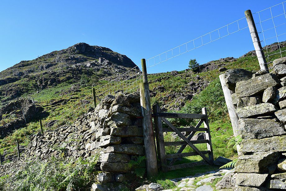
| Opposite the farmhouse a passage through the barns gives access to a walled lane |
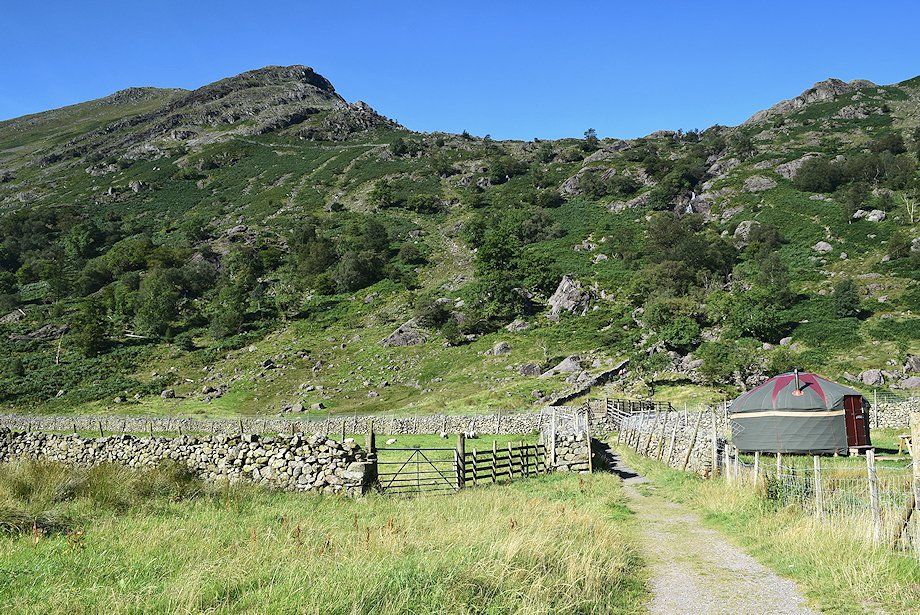 |
| The lane leads to a footbridge over the River Derwent |
 |
| Allen Crags and Seathwaite Fell from the footbridge over the River Derwent |
 |
| The River Derwent from the footbridge |
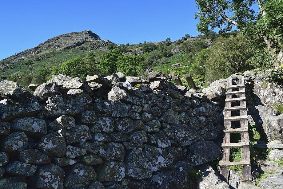 |
| Over the footbridge a stone-pitched path rises to cross a wall via an unusual, and slightly awkward, ladder stile. Beyond the wall the path passes Seathwaite Slabs, a popular climbing crag for novices and experts alike, as it climbs beside Sour Milk Gill |
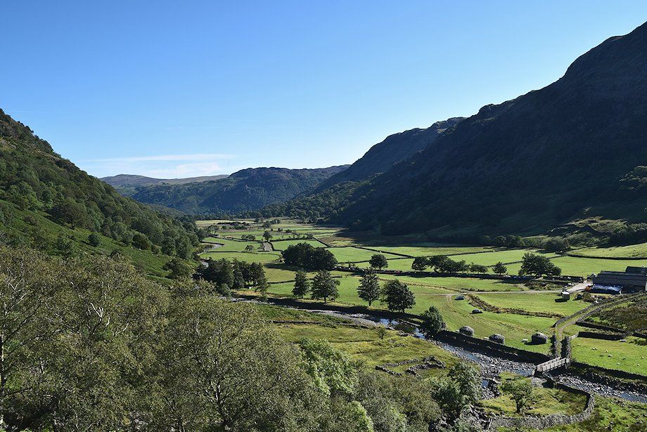 |
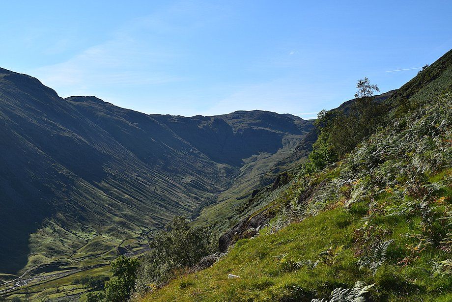
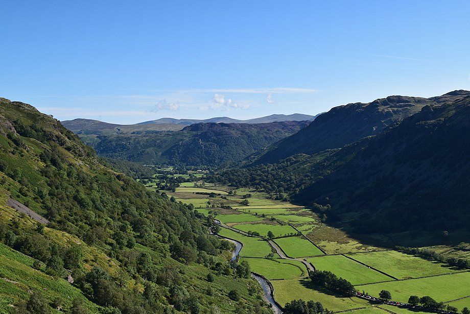
| Borrowdale from Seathwaite Slabs |
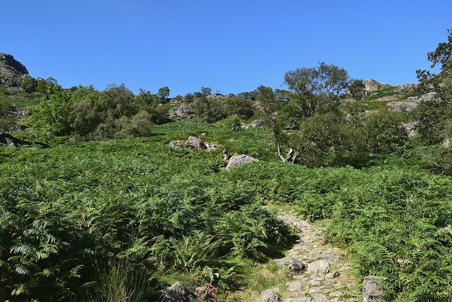 |
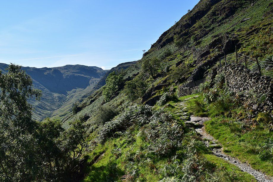
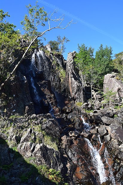
| Above Seathwaite Slabs the path generally keeps well to the left of Sour Milk Gill but it is possible to approach the waterfalls at a couple of points |
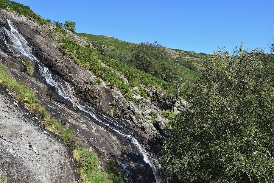 |
| The water slide in Sour Milk Gill |
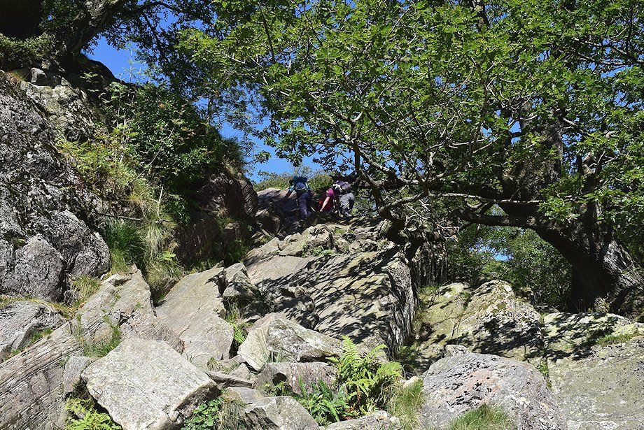 |
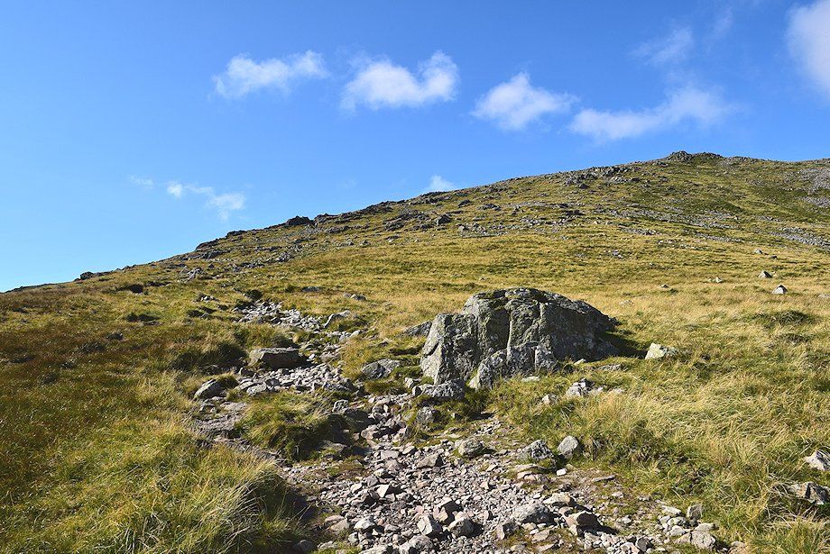
| The path encounters a rock gully which requires some mild scrambilng |
 |
| Looking down from the top of the rock gully |
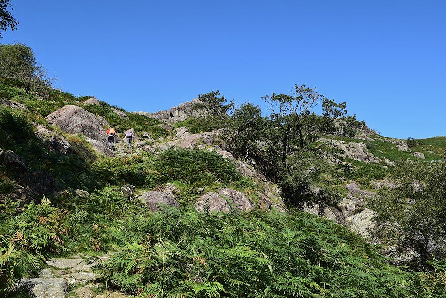 |
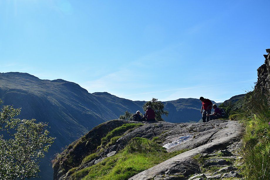
| Above the gully the path climbs more easily towards a rock shelf below the intake wall which is a good viewpoint |
 |
| Looking over towards Allen Crags above Grains Gill |
 |
| The rock shelf below the intake wall |
 |
| Borrowdale from the rock shelf, with Great Dodd, Watson's Dodd, Stybarrow Dodd, Raise, and White Side appearing over Great Crag in the centre |
 |
| From the rock shelf the path follows the intake wall for a short distance towards a handgate |
 |
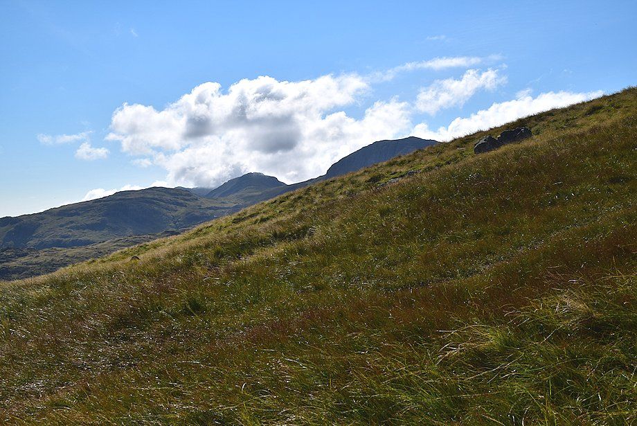
| The gate gives access to the open fellside below the hanging valley of Gillercomb |
 |
| A short distance above the intake wall there is a good viewpoint for the upper falls of Sour Milk Gill |
 |
| The north ridge of Base Brown from the path below Gillercomb |
 |
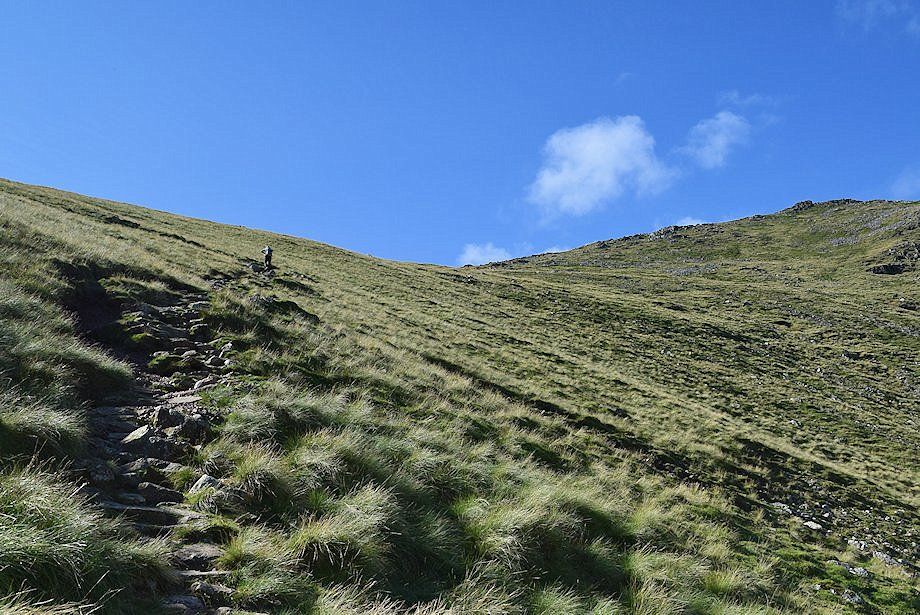
| Approaching the lip of Gillercomb |
 |
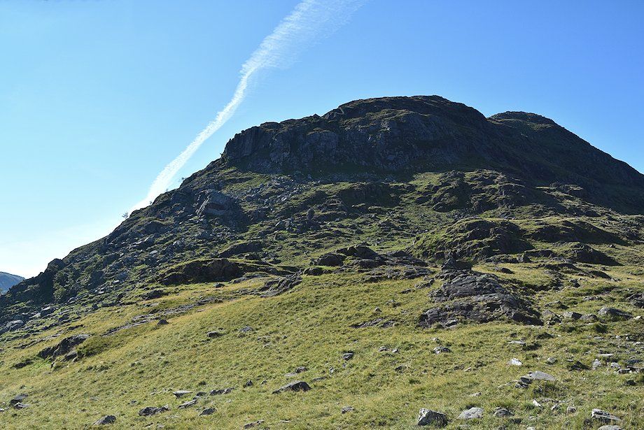
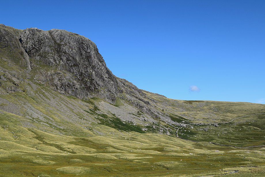
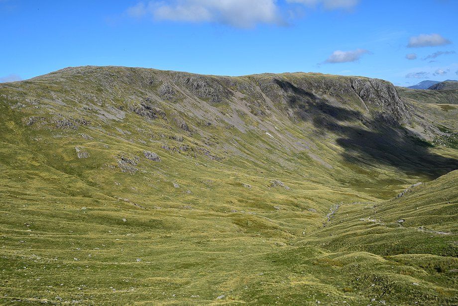
| Raven Crag, more widely known by rock climbers as Gillercomb Buttress |
 |
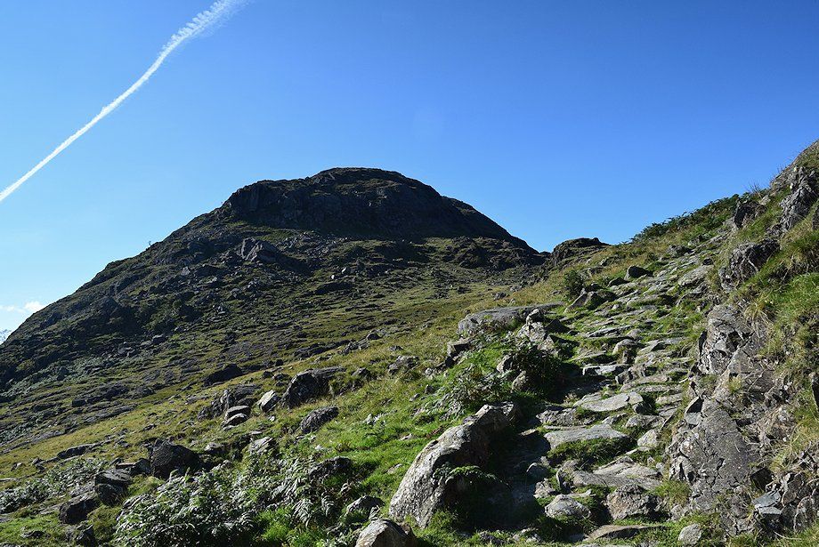
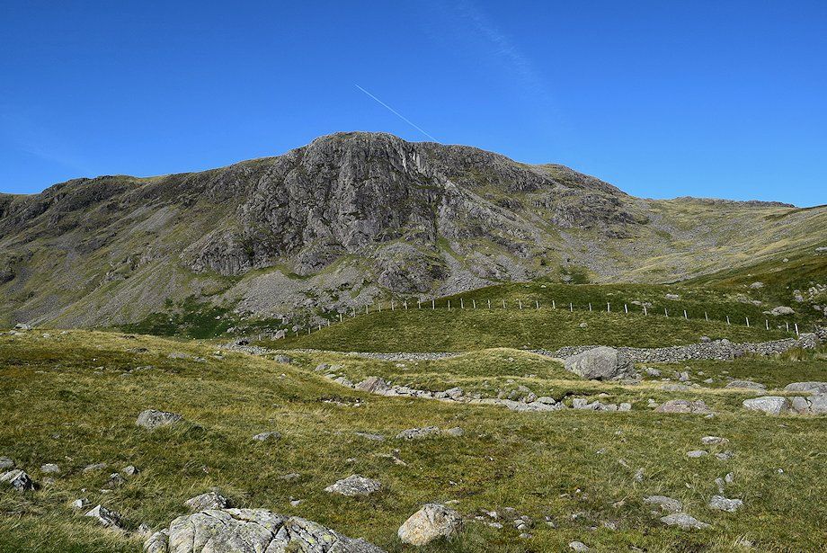
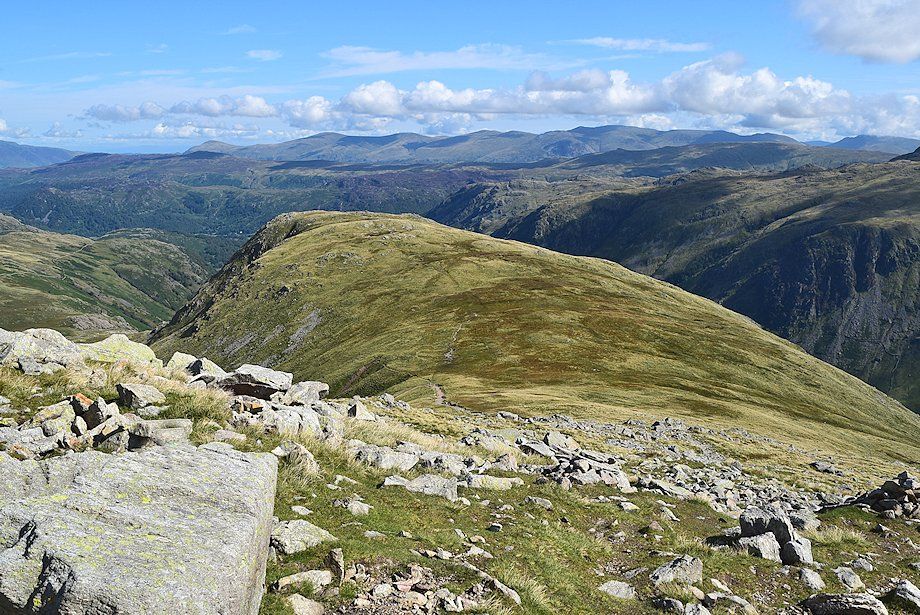
| Green Gable at the head of Gillercomb |
 |
| Borrowdale from the lip of Gillercomb |
 |
| The north ridge of Base Brown from the lip of Gillercomb |
 |
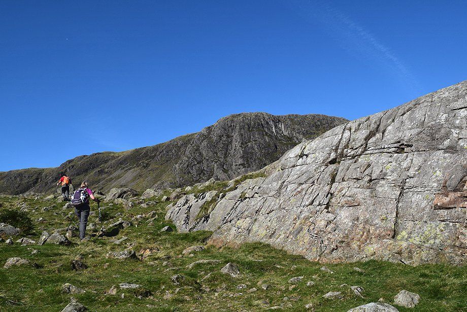
| Continuing along the path which initially traverses across the steep north western flank of Base Brown |
 |
| Raven Crag across Gillercomb |
 |
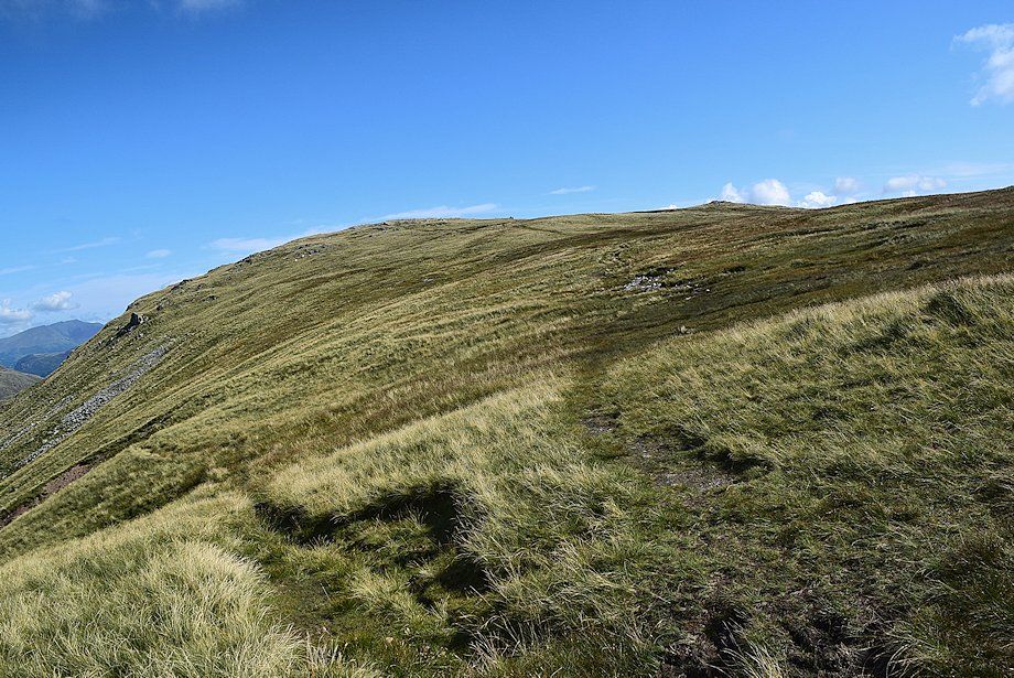
| The path begins to descend slightly to a marker cairn where it turns to the south and resumes its climb towards the Base Brown ~Green Gable col |
 |
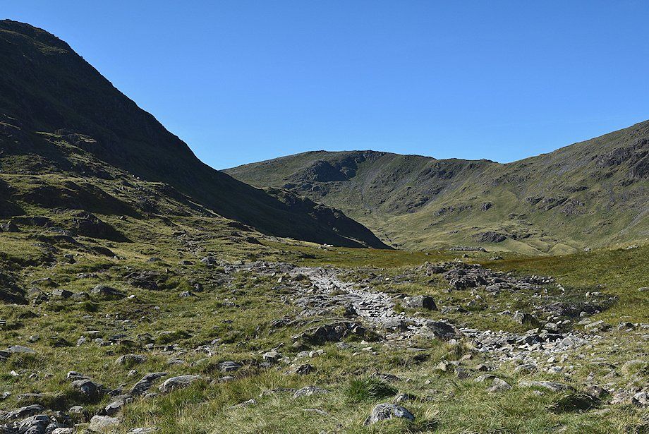
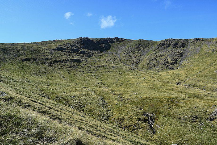
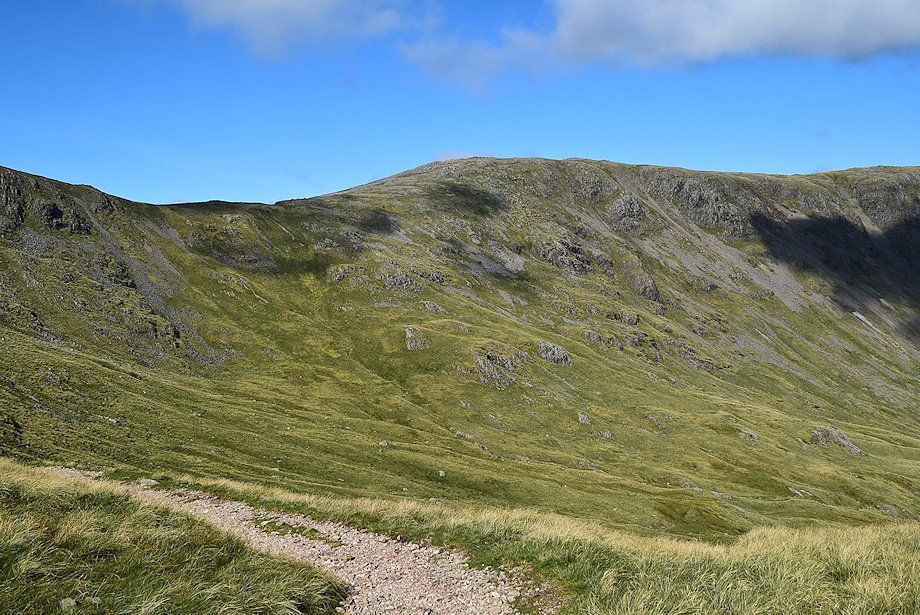
| Gillercomb Head from the marker cairn |
 |
| Raven Crag from the marker cairn |
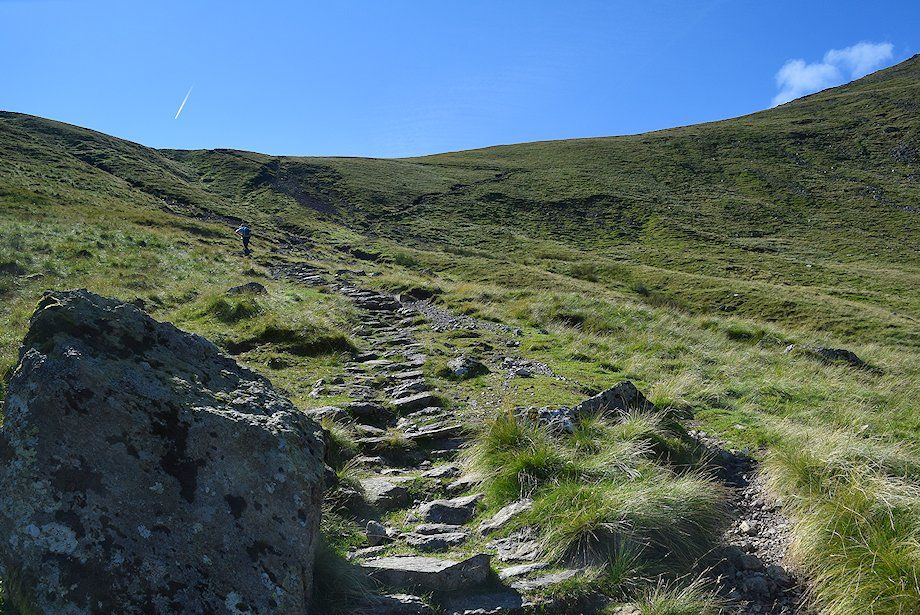 |
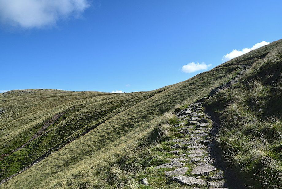
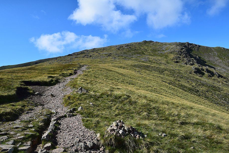
| The path to the Base Brown~Green Gable col |
 |
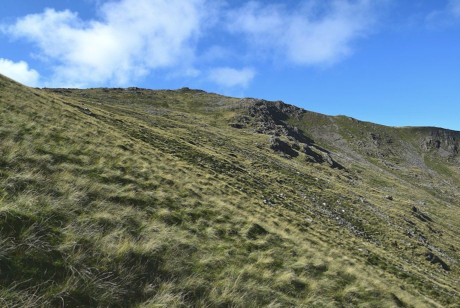
| Looking over to the crags on the north ridge of Green Gable |
 |
| Looking back towards Raven Crag on Grey Knotts |
 |
| Higher on the path to the Base Brown~Green Gable col |
 |
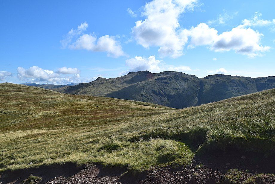
| Looking back to Brandreth and Grey Knotts |
 |
| Approaching the Base Brown~Green Gable col |
 |
| Looking over to the north ridge of Green Gable from just below the col |
 |
| Base Brown from just below the col |
 |
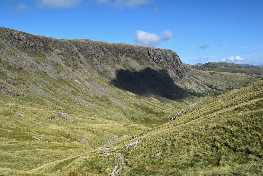
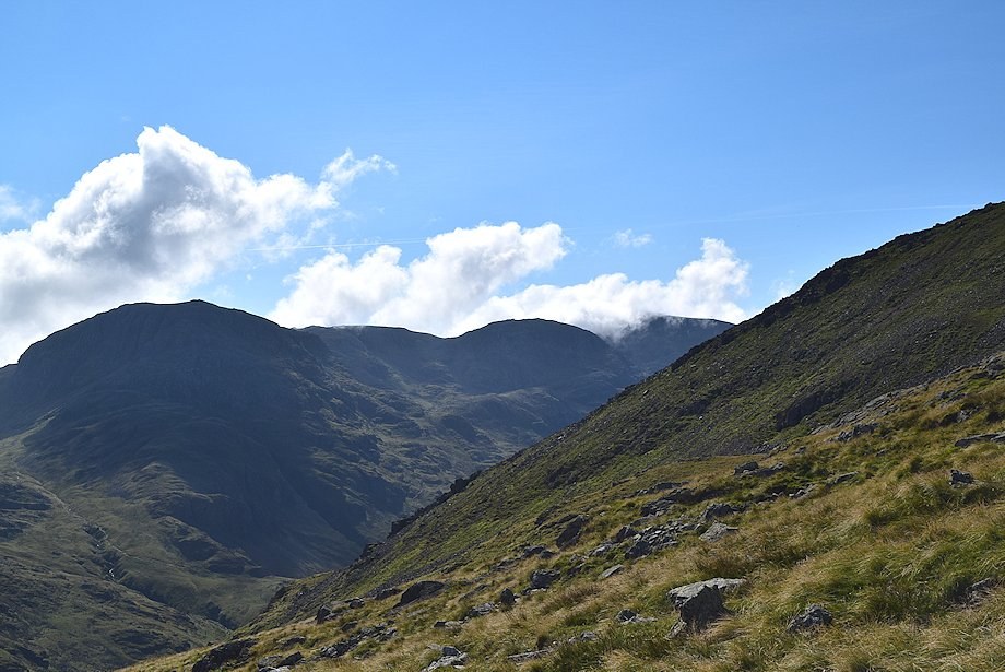
| Gillercomb Head and Brandreth from the Base Brown~Green Gable col |
 |
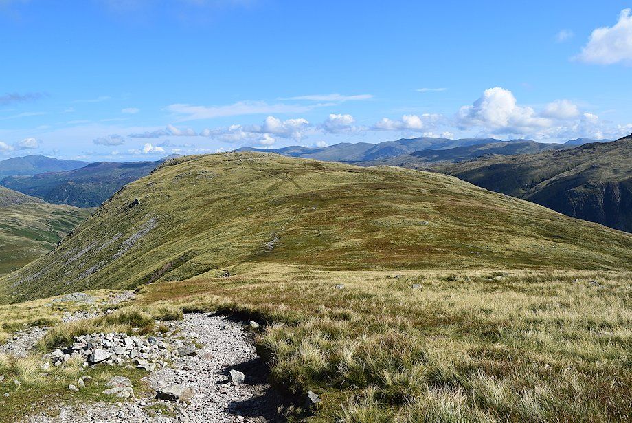
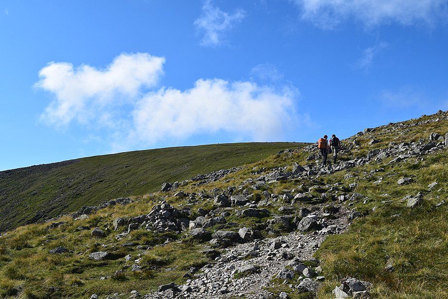
| A cairned path leads over the north eastern slopes of Green Gable to eventually join the popular path which comes up from Honister Hause |
 |
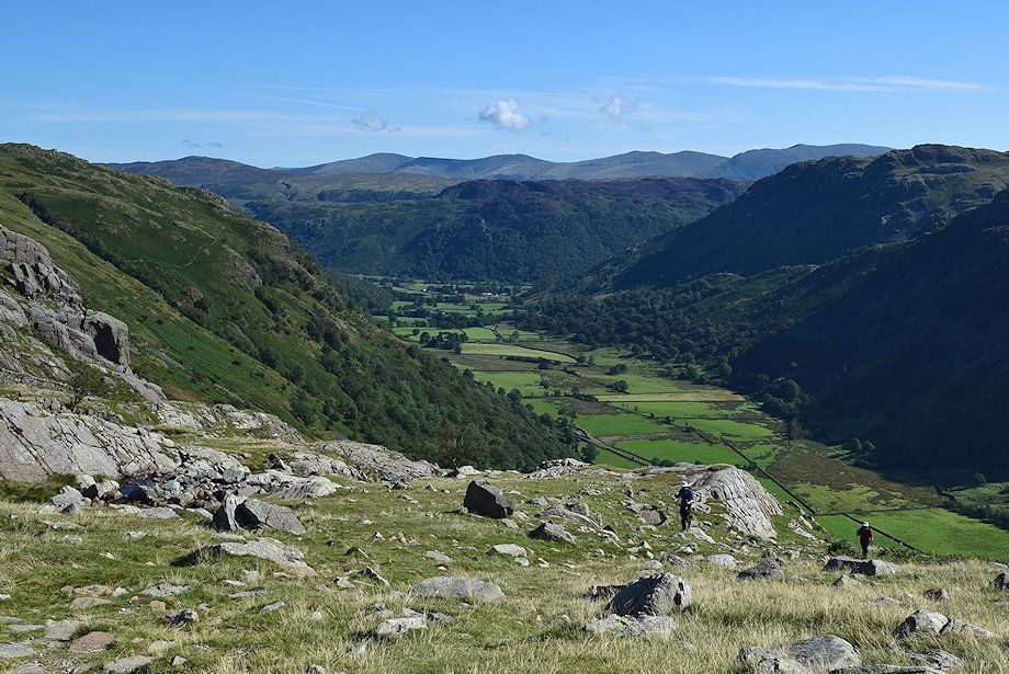
| Looking over towards Glaramara from the path over the north eastern slopes of Green Gable |
 |
| Allen Crags, Esk Pike and Great End across the north eastern slopes of Green Gable |
 |
| Looking back towards Base Brown |
 |
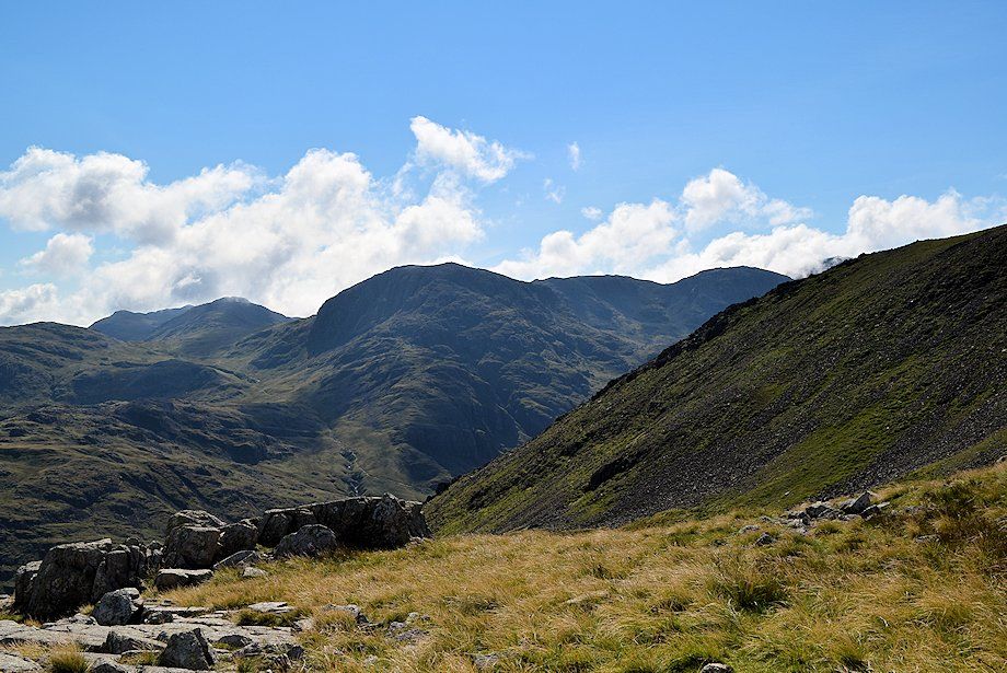
| Looking over to Great End, Ill Crag, and Broad Crag. The summit of Scafell Pike covered by cloud |
 |
| The Helvellyn range on the left with the summits of Comb Head and Glaramara on the right |
 |
| Higher on the north eastern slope the path curves slightly to the west as it crosses stonier ground |
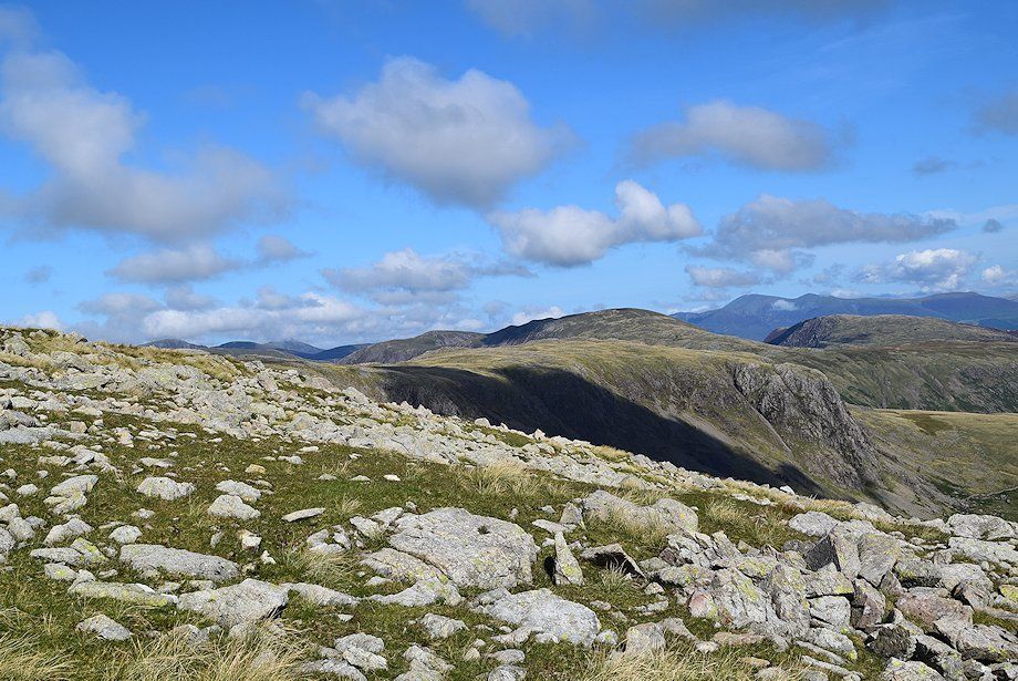 |
| Looking over Grey Knotts to the summit of Dale Head in the centre, with the Skiddaw group over High Spy on the right |
 |
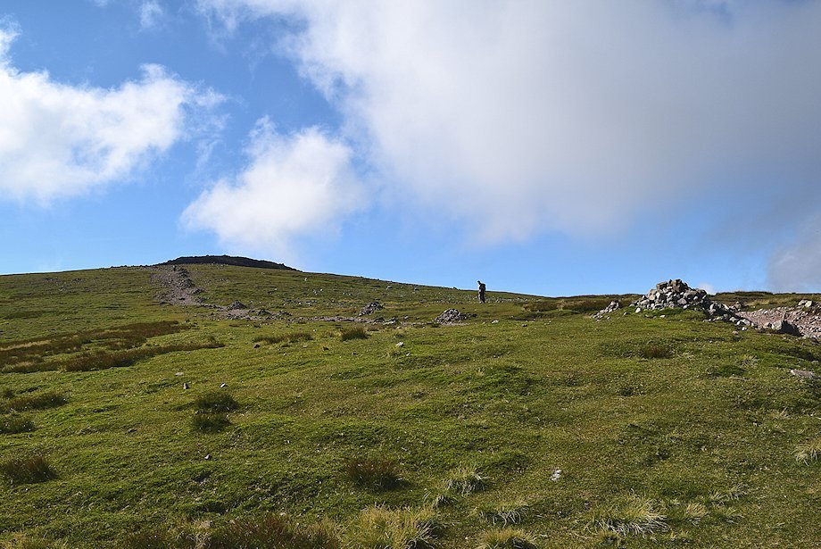
| The summit of Green Gable comes into view for the first time as the path approaches the Honister Hause~Great Gable path |
 |
| The Langdale Pikes appear over the Glaramara~Allen Crags ridge |
 |
| Looking back to Base Brown. The full length of the Helvellyn range appears on the horizon |
 |
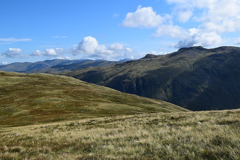
| Allen Crags, Bowfell, Esk Pike, Great End, Ill Crag, and Broad Crag across Mitchell Cove |
 |
| Joining the Honister Hause~Great Gable path |
 |
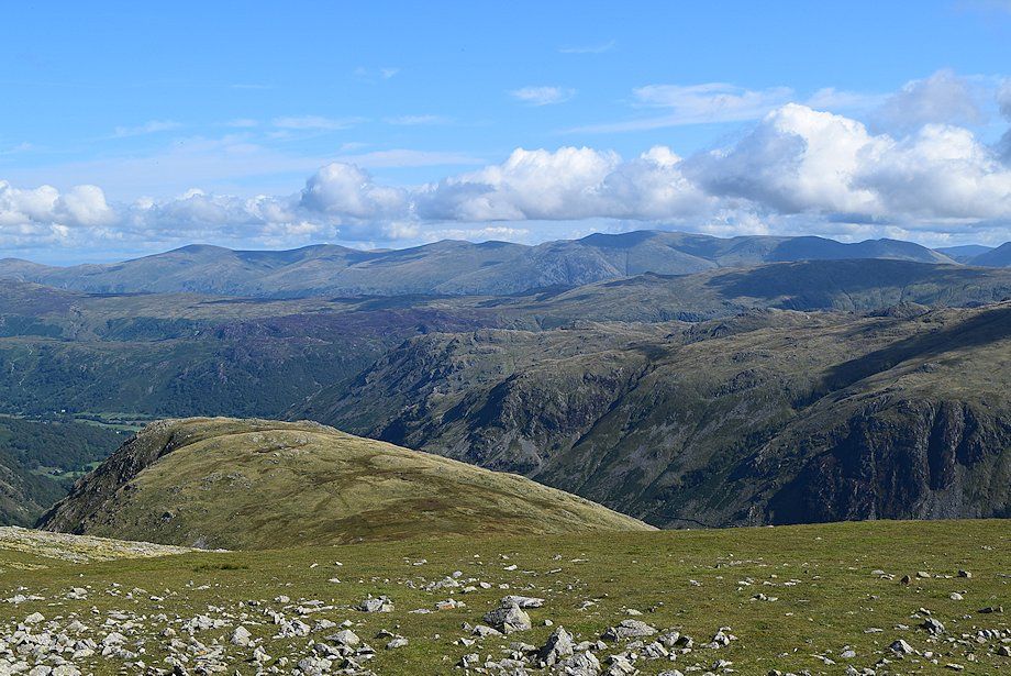
| The North Western Fells over the western slopes of Brandreth |
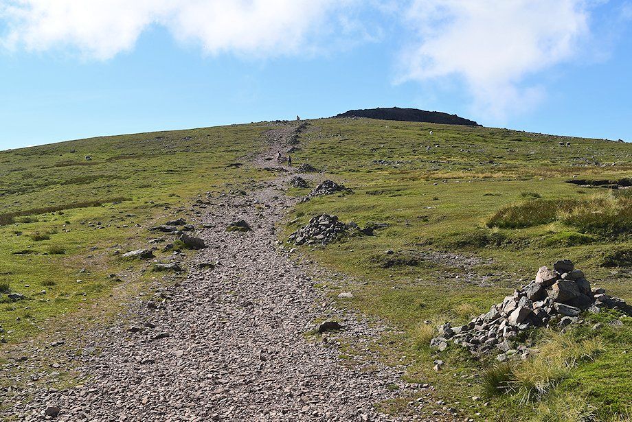 |
| The final slope leading up to the summit of Green Gable. The summit of Great Gable overtops it on the right |
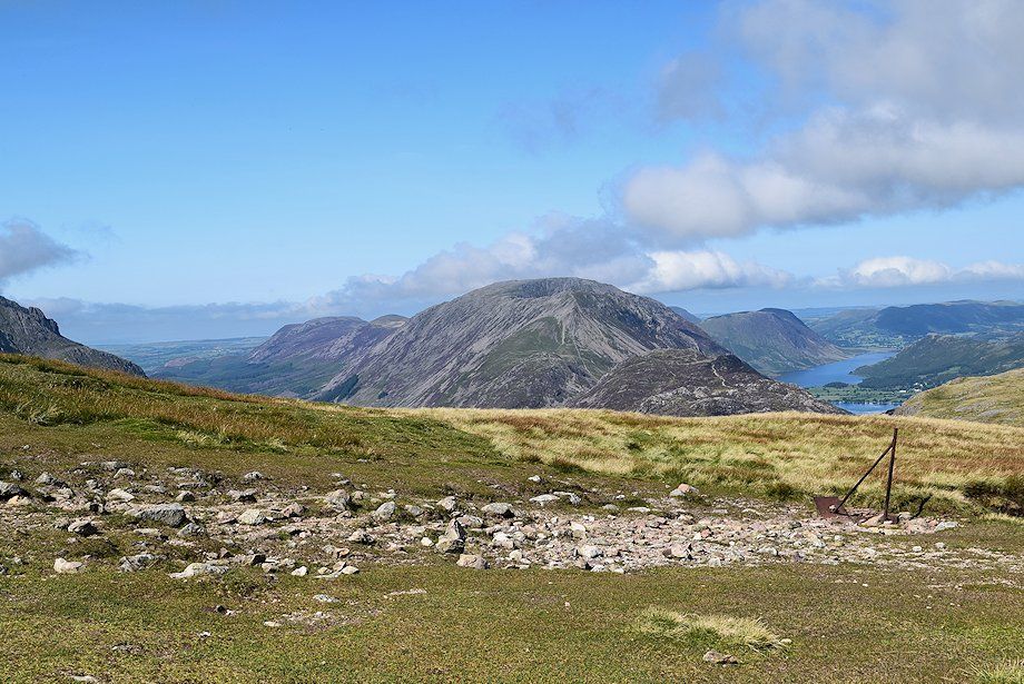 |
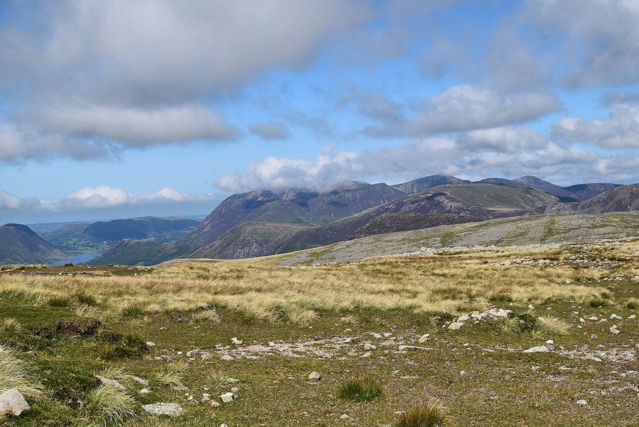
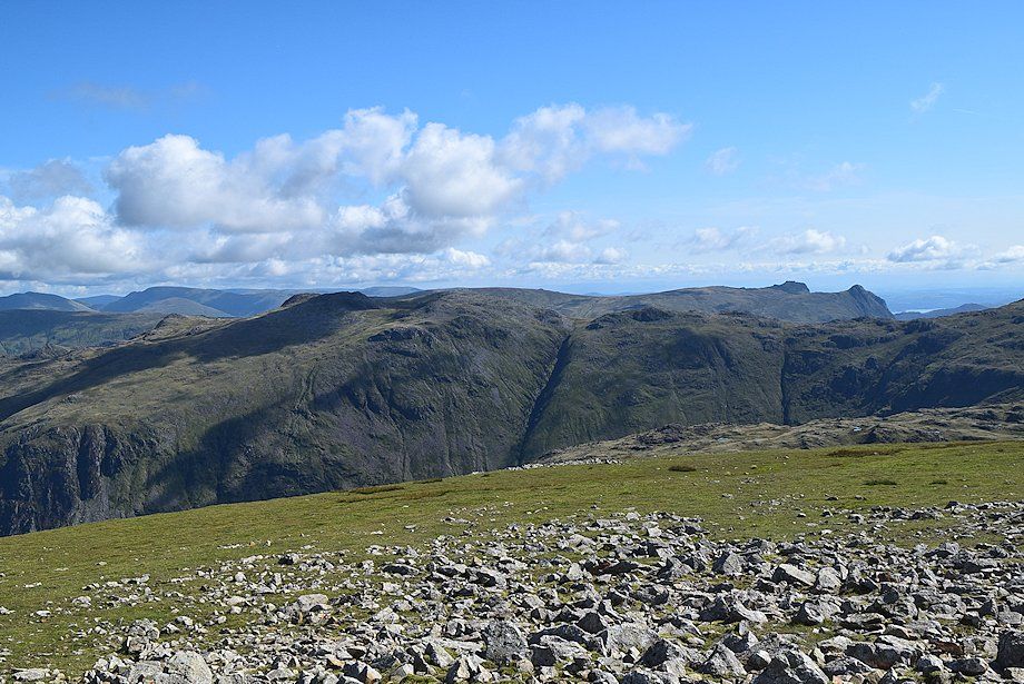
| Looking over to the High Stile range in the centre with Crummock Water and part of Buttermere on the right |
 |
| Approaching the summit of Green Gable |
 |
| The summit cairn on Green Gable |
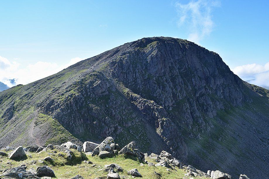 |
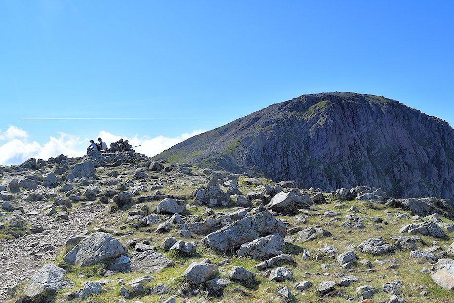
| Great Gable from the summit of Green Gable |
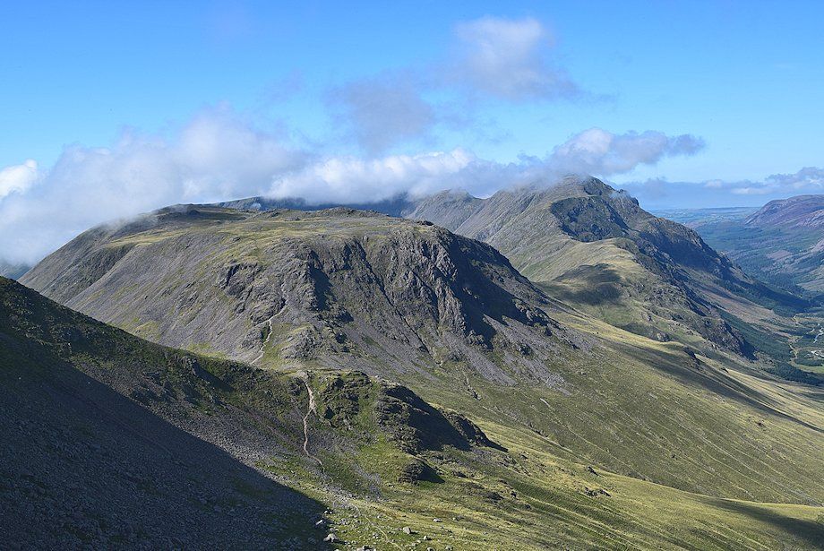 |
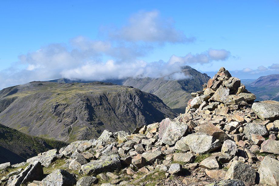
| Kirk Fell from the summit of Green Gable with clouds sweeping across the summits of Scoat Fell, Red Pike and Pillar |
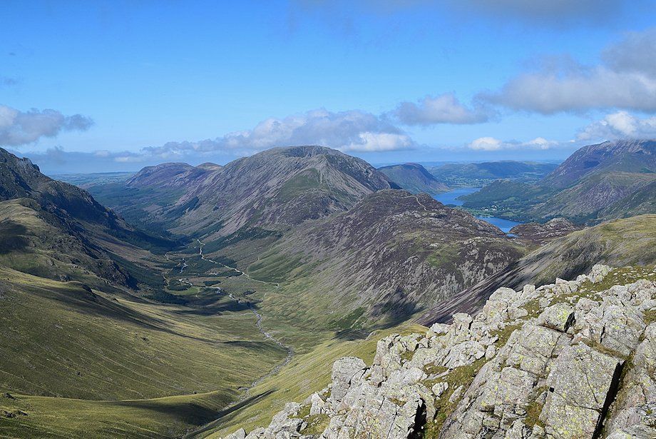 |
| Ennerdale with Crummock Water and Buttermere appearing over the summit ridge of Haystacks |
 |
| Grasmoor, Wandope, Eel Crag, Sail, Grisedale Pike, Scar Crags and Hindscarth on the horizon |
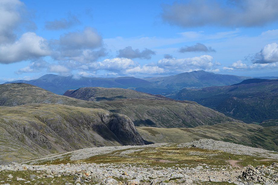 |
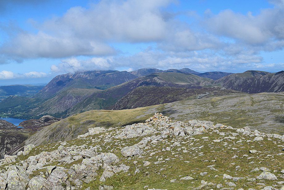
| The Skiddaw group over Dale Head and High Spy on the left with Blencathra over the Walla Crag~Bleaberry Fell ridge on the right |
 |
| Clough Head, Great Dodd, Stybarrow Dodd, Raise, White Side, Helvellyn, Nethermost Pike, Dollywaggon Pike and High Raise on the horizon |
 |
| High Raise, Thunacar Knott, Harrison Stickle and Pike o' Blisco over the Glaramara~Allen Crags ridge |
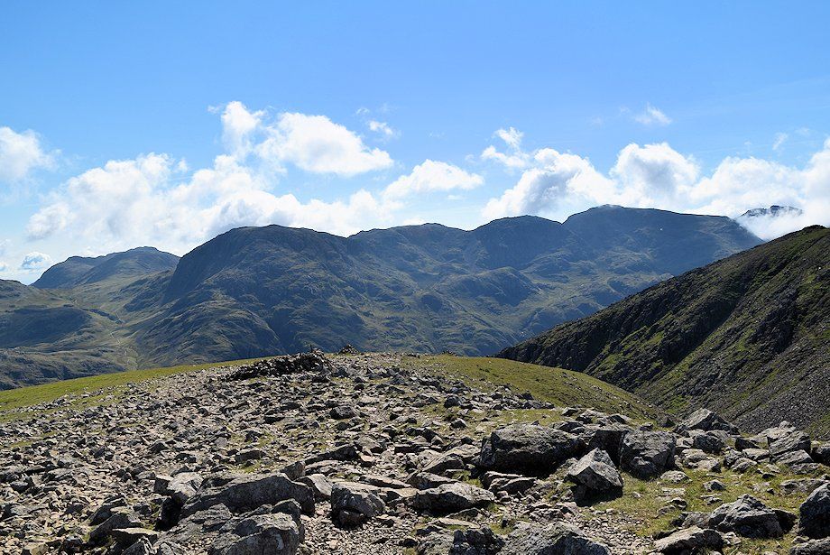 |
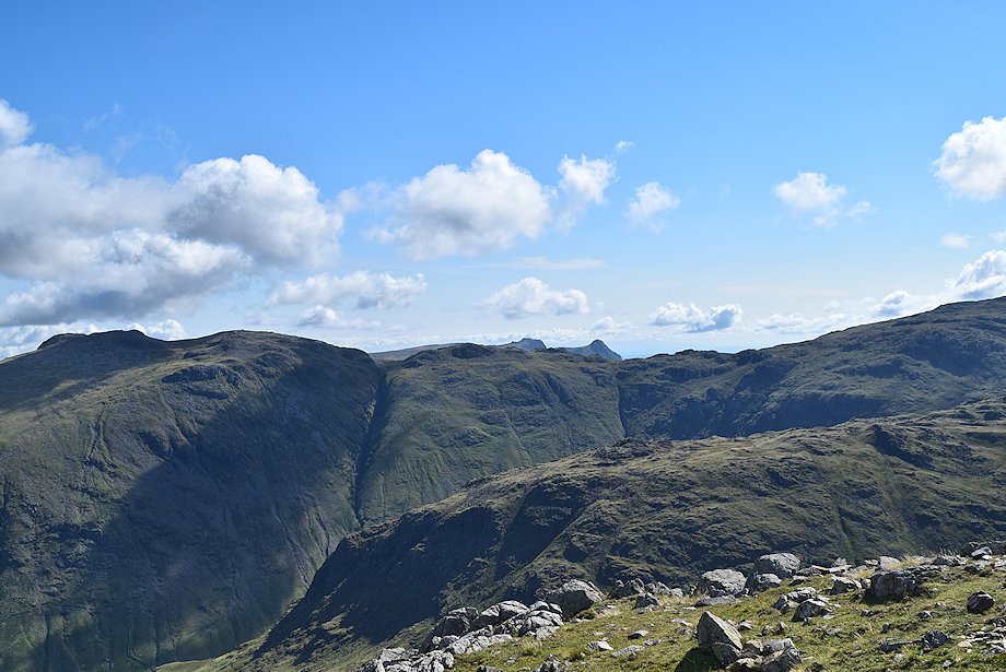
| Bowfell, Esk Pike, Great End, Ill Crag, Broad Crag, Scafell Pike and Scafell on the horizon |
|