 |
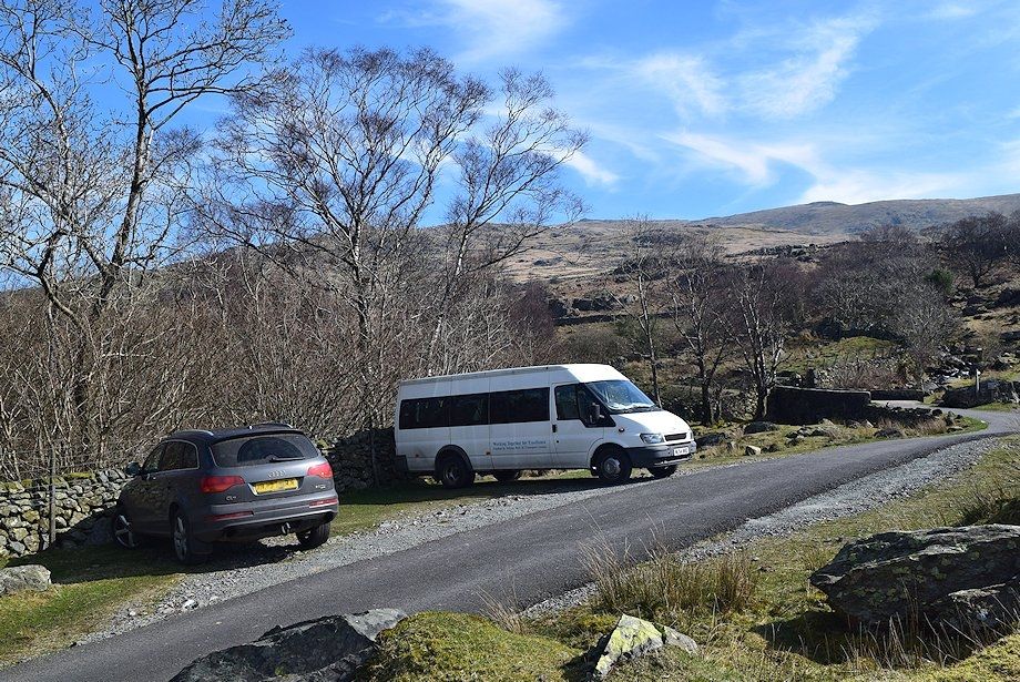
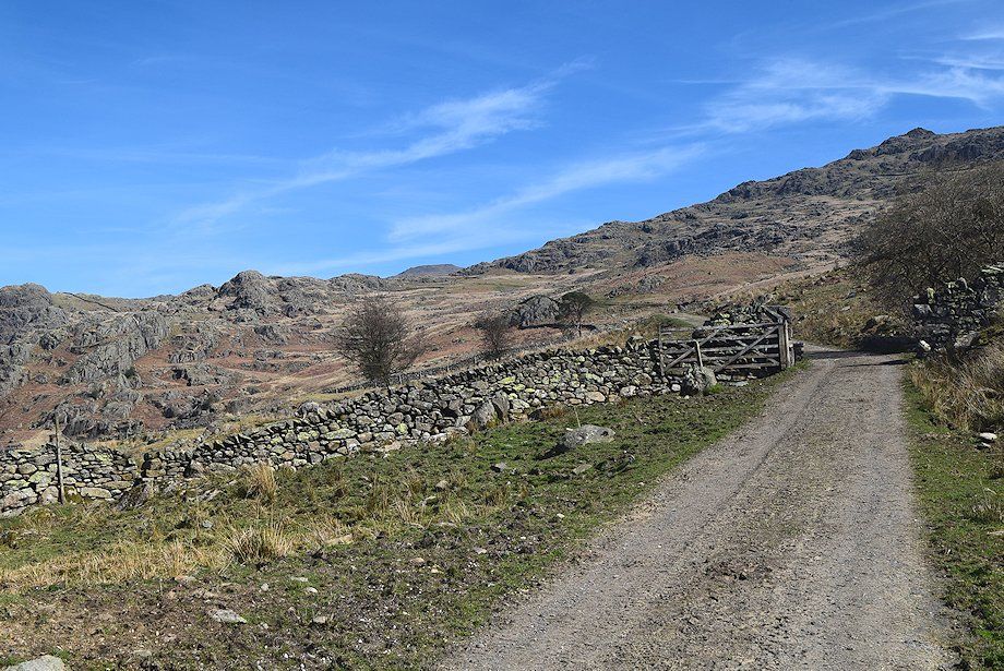
| The walk starts from Long House Gill Bridge on the Walna Scar Road. There is room to park for half a dozen cars on the wide verge below the bridge |
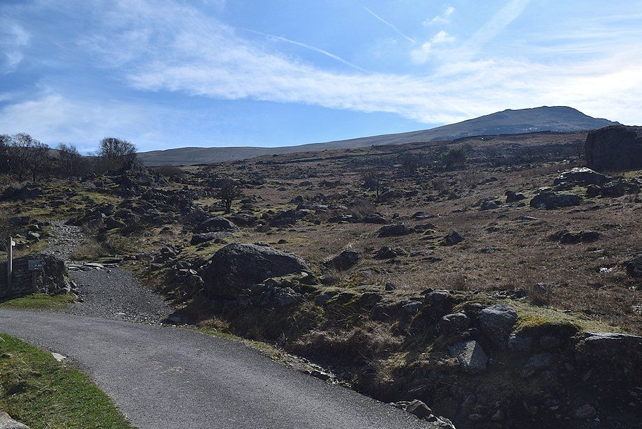 |
| Looking to White Pike from the parking space. The Walna Scar Road continues on as a rough track alongside Long House Gill, bound for Coniston |
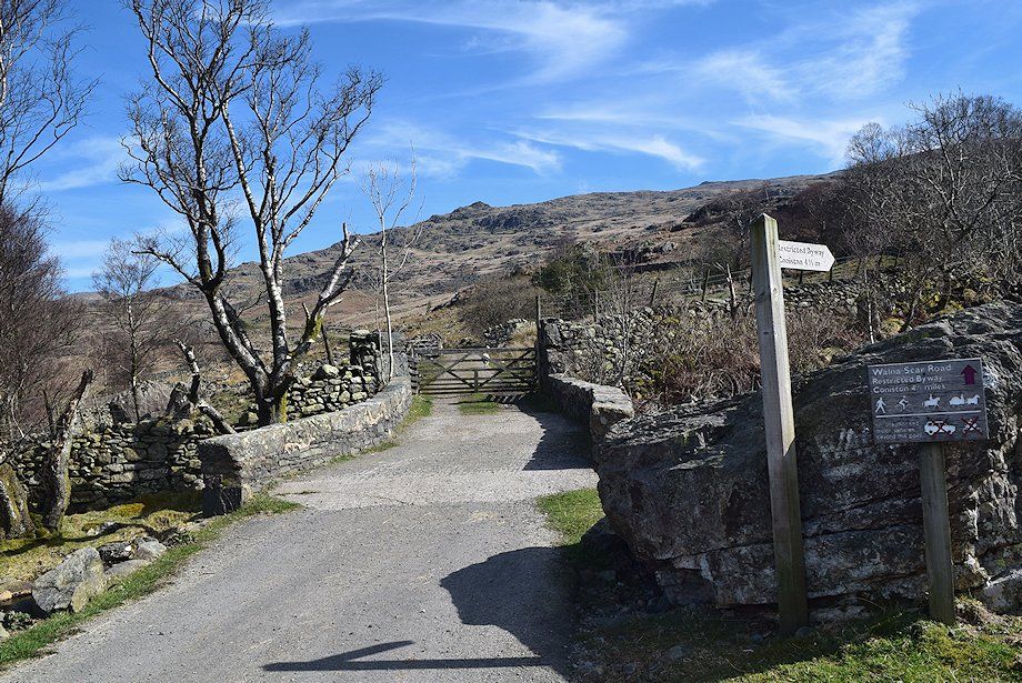 |
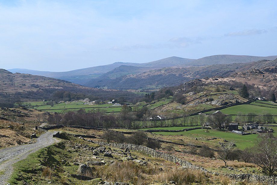
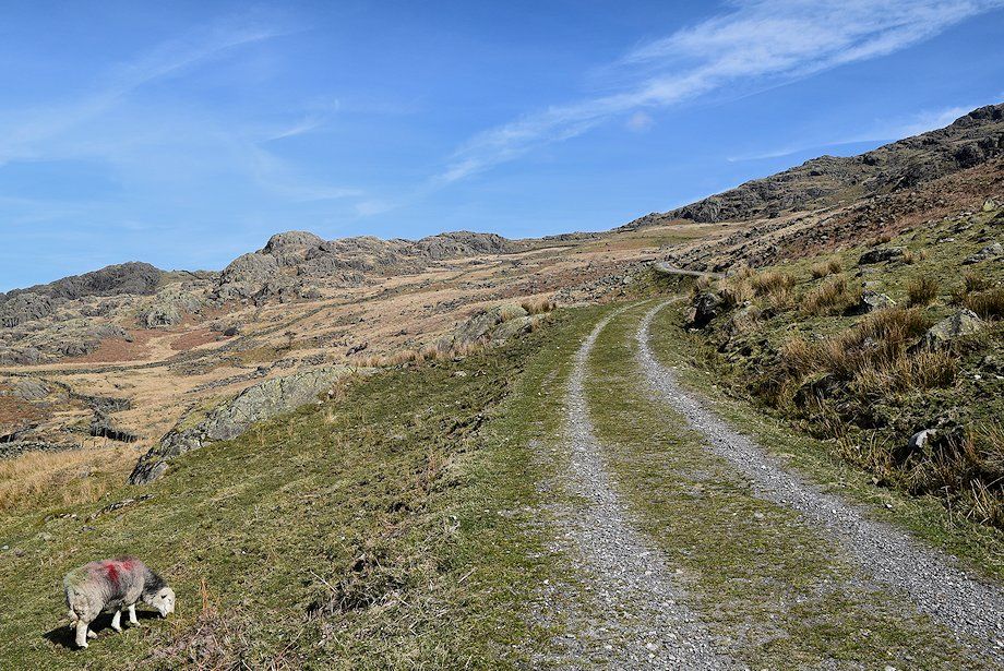
| The way ahead crosses the bridge over Long House Gill and continues along the Seathwaite Tarn access track |
 |
| Harter Fell across the Duddon Valley |
 |
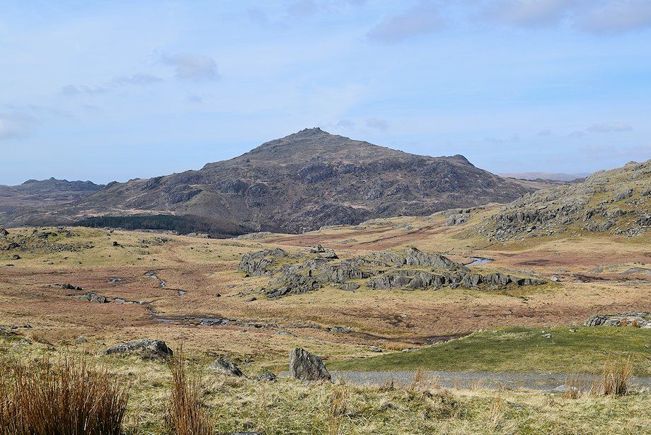
| The Seathwaite Tarn access track. The summit ridge of Grey Friar is just visible on the left centre horizon |
 |
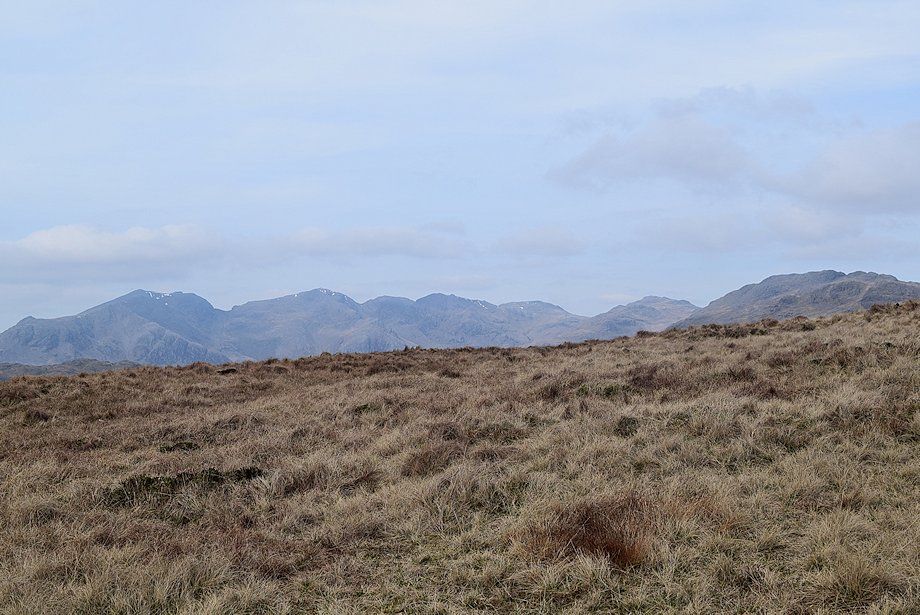
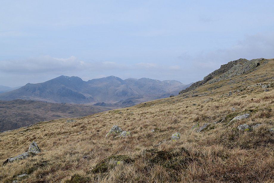
| The Scafell group appear over the Hard Knott ridge |
 |
| Slight Side and Scafell across the crags of Sunny Pike |
 |
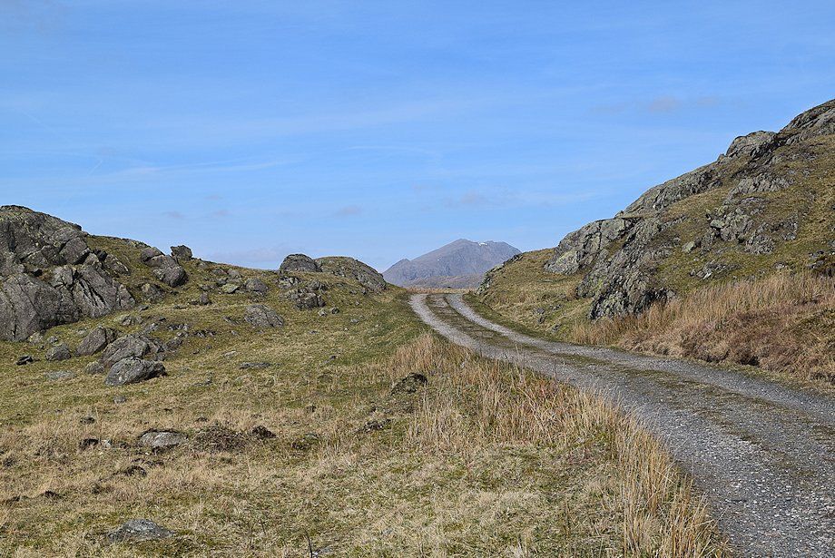
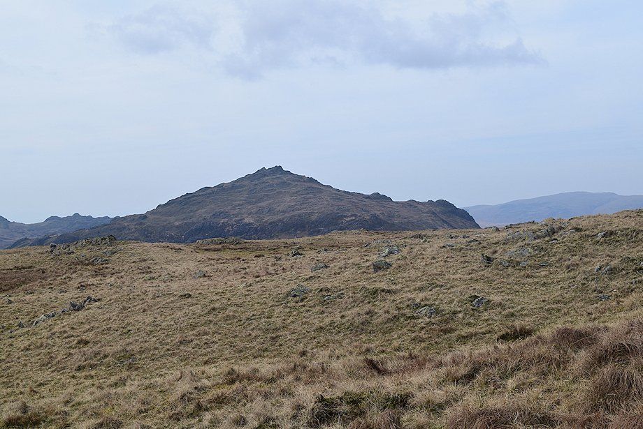
| Harter Fell from the Seathwaite Tarn access track |
 |
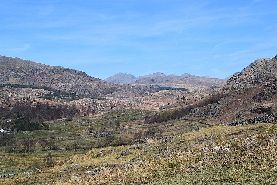
| Looking back to the lower Duddon Valley |
 |
| White Pike from the Seathwaite Tarn access track |
 |
| Pikes and Caw from the Seathwaite Tarn access track |
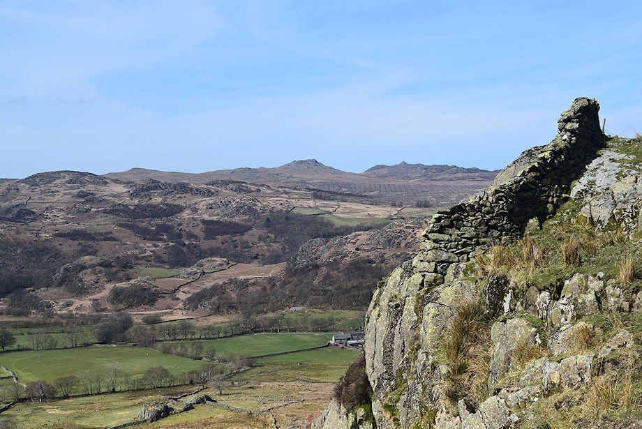 |
| Looking over the Duddon Valley to Green Crag and Crook Crag |
 |
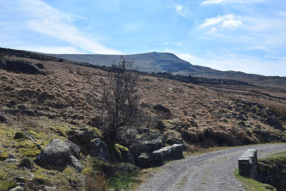
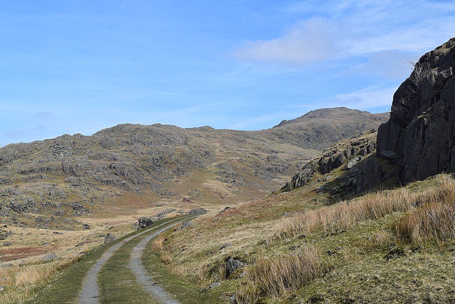
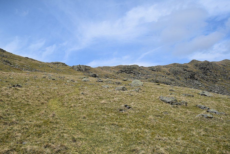
| Higher on the Seathwaite Tarn access track |
 |
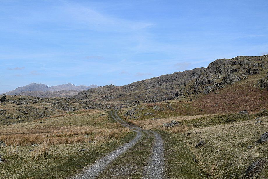
| After climbing steadily for almost a mile the access track begins to level out as Slight Side and Scafell come into view |
 |
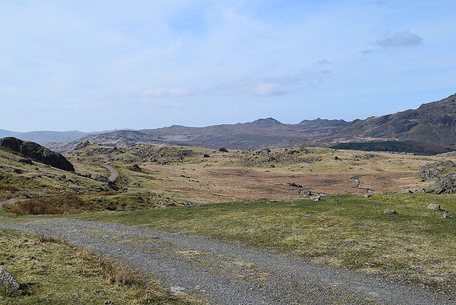
| Looking back to White Pike and Caw |
 |
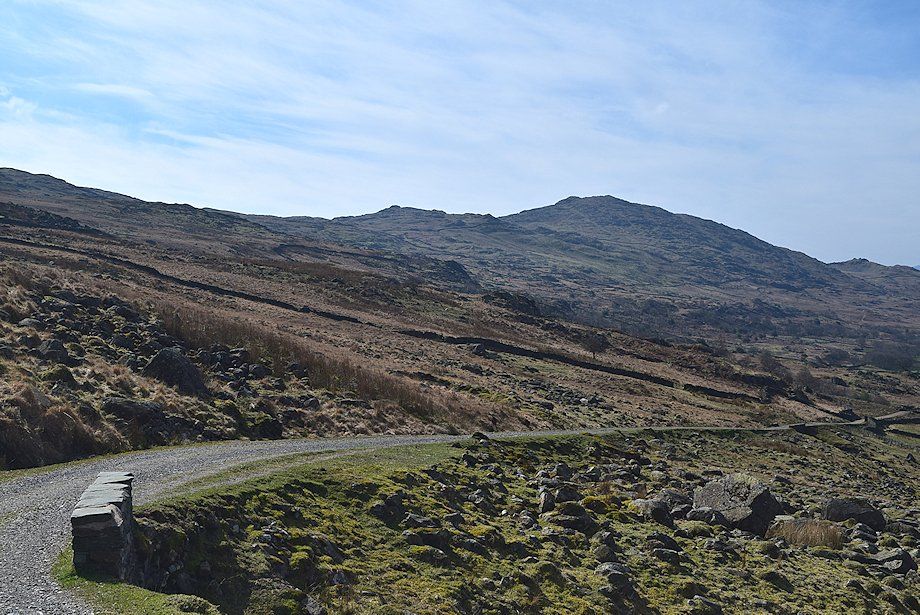
| The track continues on for another half a mile without gaining or losing much height on the approach to the Seathwaite Tarn dam |
 |
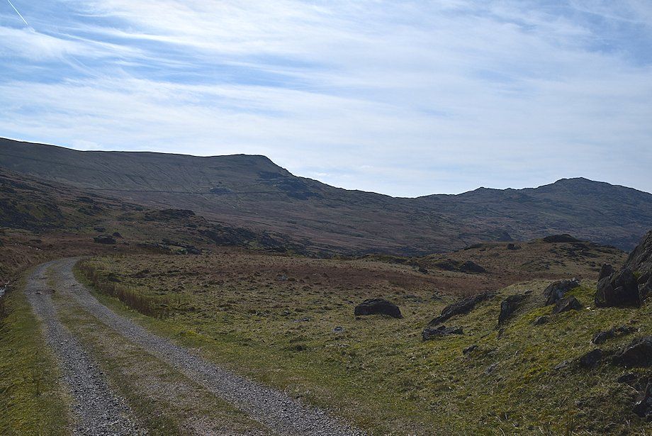
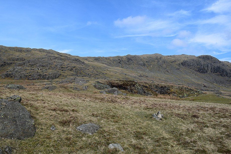
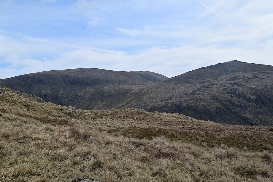
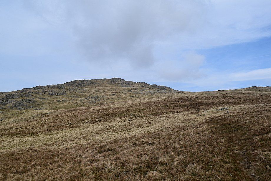
| The summit of Grey Friar comes into view as the track passes below the crags of Lead Pike |
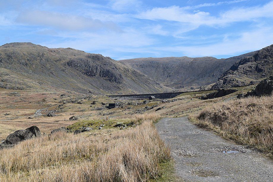 |
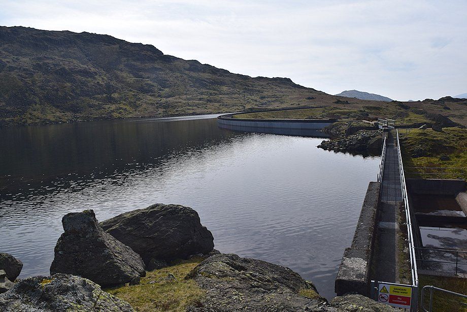
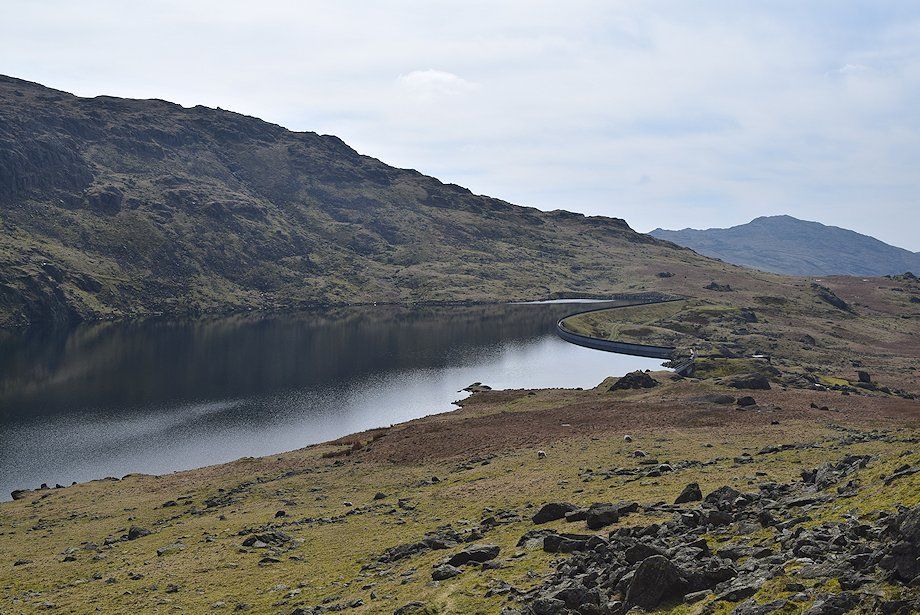
| The Seathwaite Tarn dam comes into view |
 |
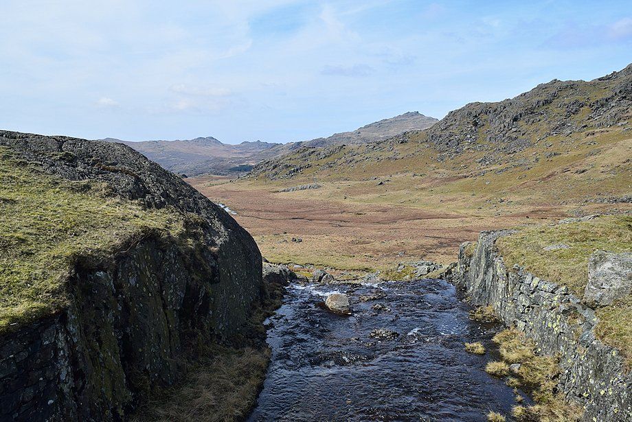
| Looking back to Green Crag and Crook Crag |
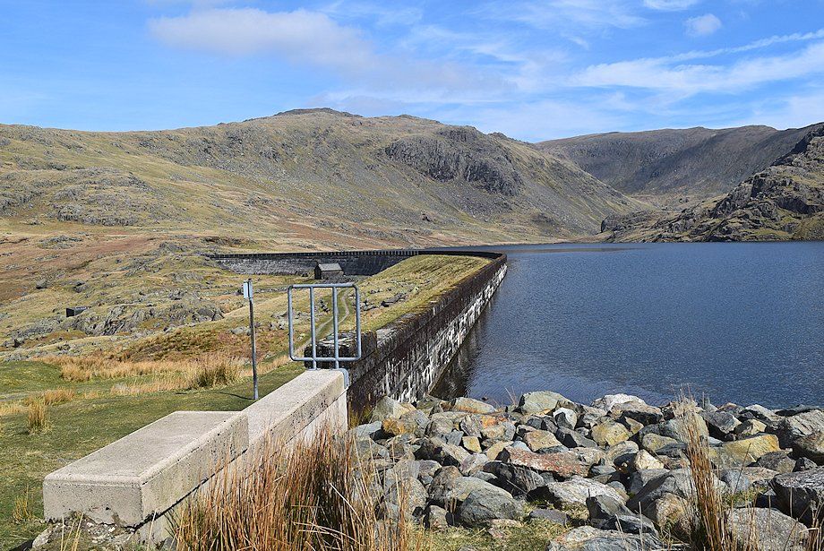 |
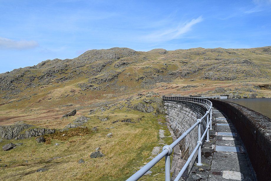
| Seathwaite Tarn dam was built in 1904 and is actually two dams separated by a rock knoll. The main dam is almost 150 yards long with the tarn outflow at its northern end, the north (subsidiary) dam incorporates an auxiliary overflow |
 |
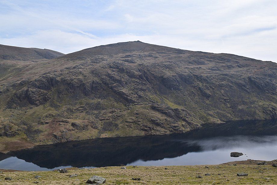
| Harter Fell from the Seathwaite Tarn dam |
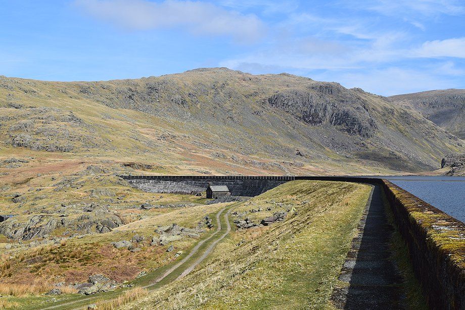 |
| There is a flagged walkway below the parapet of the dam which leads to steel-mesh walkways over the tarn's main outflow and auxiliary overflow |
 |
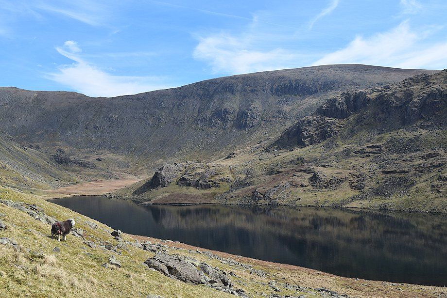
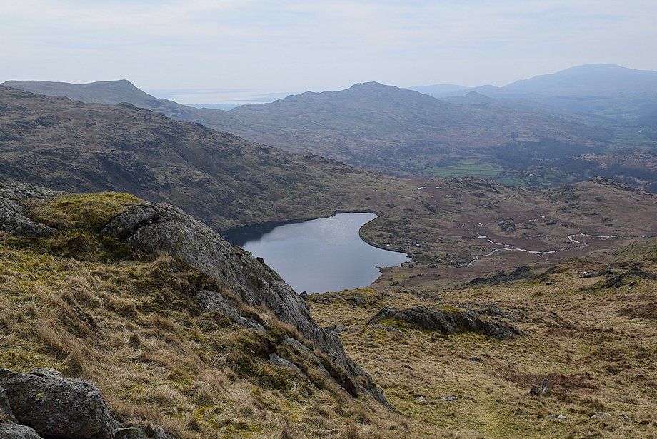
| Looking across Seathwaite Tarn from the main dam's walkway |
 |
| Green Crag, Crook Crag and Harter Fell from Seathwaite Tarn dam |
 |
| Troutal Fell from the near the end of the main dam's walkway |
 |
| Green Crag, Crook Crag and Harter Fell from the Seathwaite Tarn outflow |
 |
| Looking back from the end of the subsidiary dam |
 |
| Shudderstone How and Near Hill Crag across Seathwaite Tarn from the end of the subsidiary dam |
 |
| Above the end of the dam a small marker cairn indicates the start of a faint path which climbs a grass slope between the rocky outcrops of Loft Rigg How and Tarn Brow to gain the south-west ridge of Grey Friar |
 |
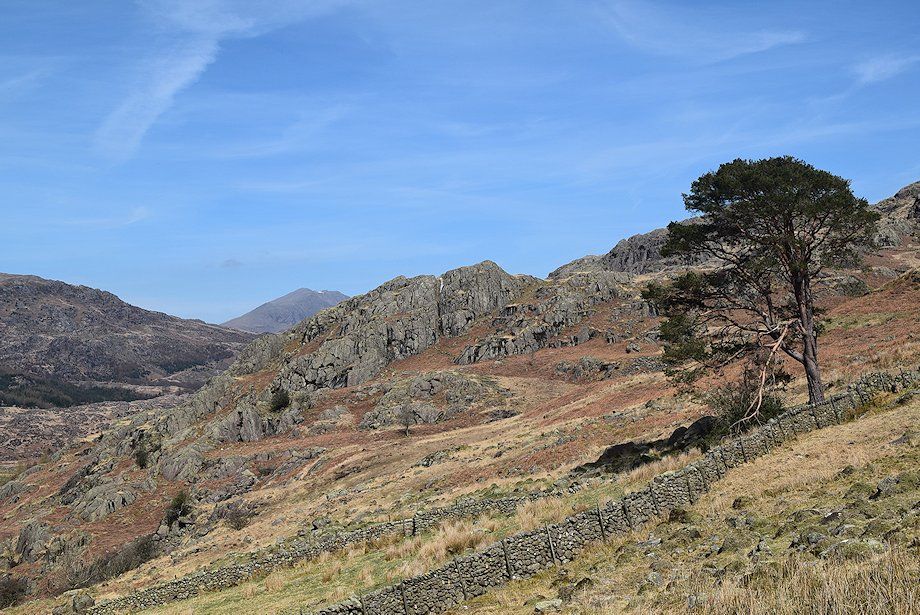
| Looking across to the crags of Great Blake Rigg from the climb to the south-west ridge |
 |
| Looking back to the Seathwaite Tarn dam from the climb to the south-west ridge |
 |
| The head of Seathwaite Tarn with Swirl Band on the left skyline and Brim Fell over Far Hill Crag on the right |
 |
| Approaching the line of the south-west ridge |
 |
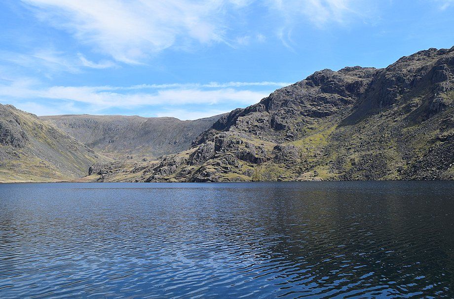
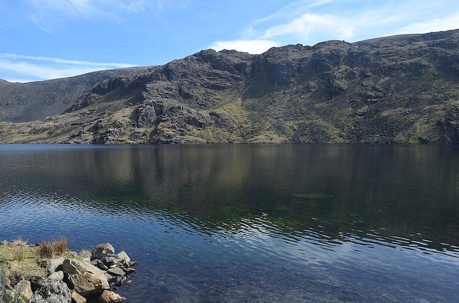
| Coniston Old Man and Dow Crag across Seathwaite Tarn |
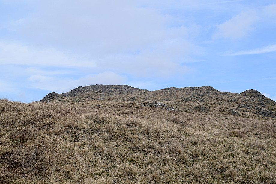 |
| The summit of Grey Friar comes into view on gaining the south-west ridge |
 |
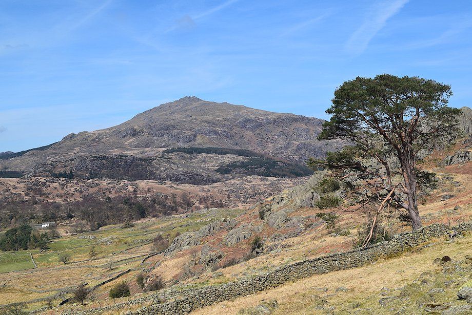
| Harter Fell over the south-west ridge of Grey Friar |
 |
| The Scafells, Esk Pike and Crinkle Crags appear over the south-west ridge of Grey Friar |
 |
| Brim Fell, Coniston Old Man and Dow Crag from the south-west ridge of Grey Friar |
 |
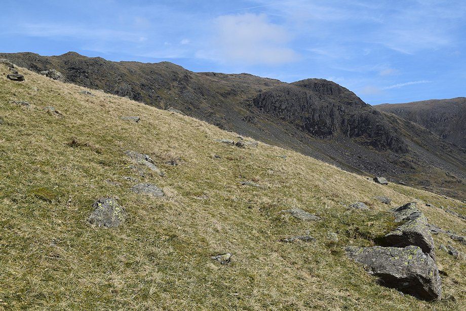
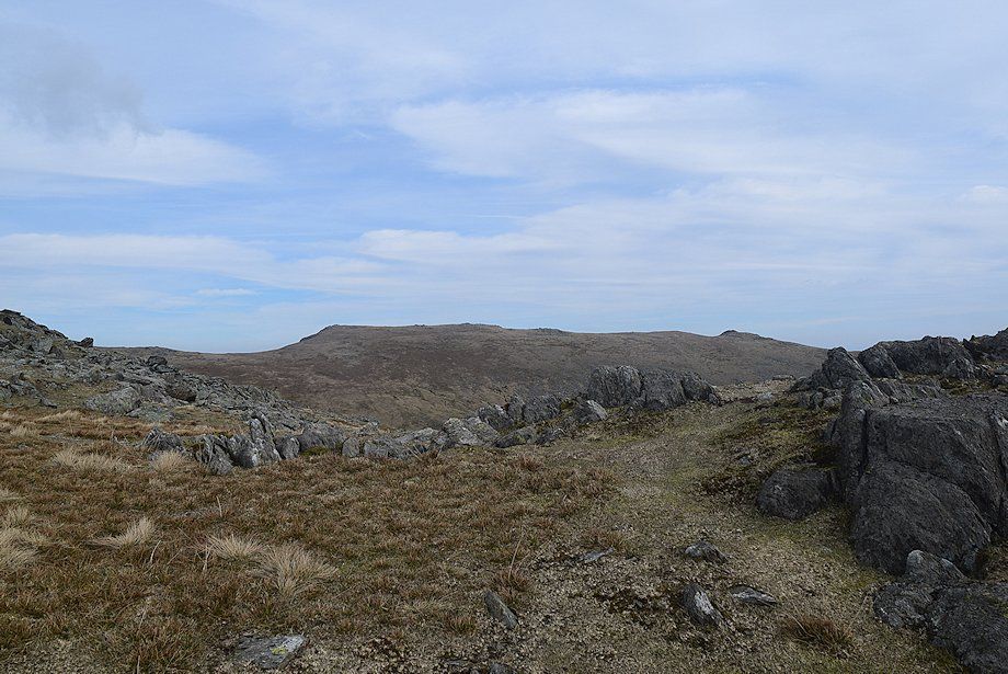
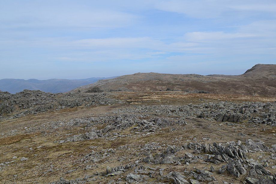
| The path becomes much clearer as it climbs the slope of Wether How on the south-west ridge |
 |
| Seathwaite Tarn from Wether How on the south-west ridge of Grey Friar |
 |
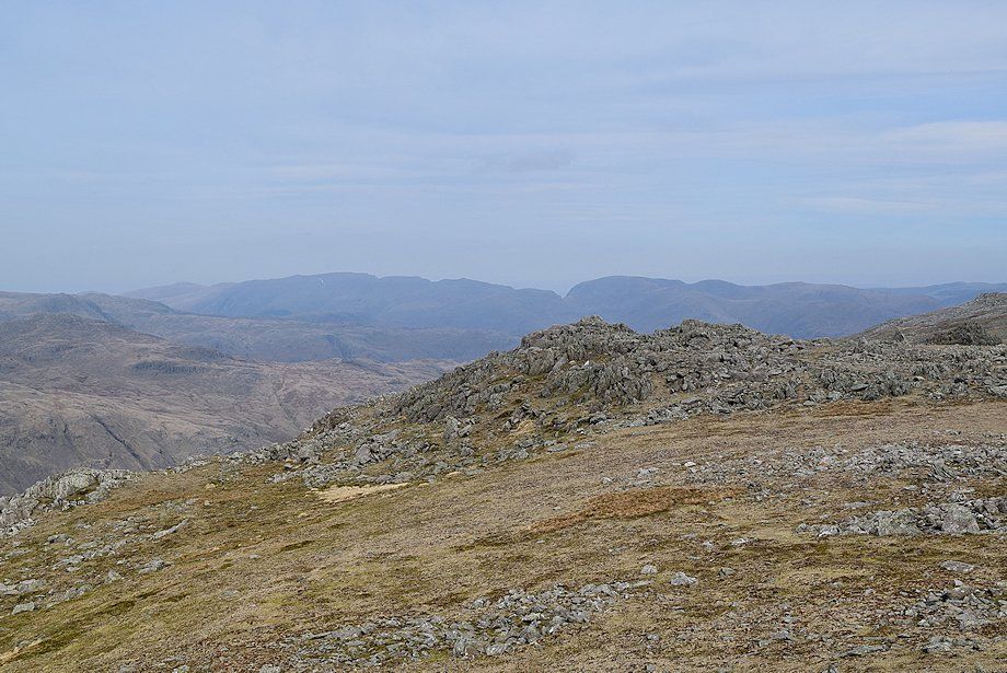
| Looking across to the Scafells |
 |
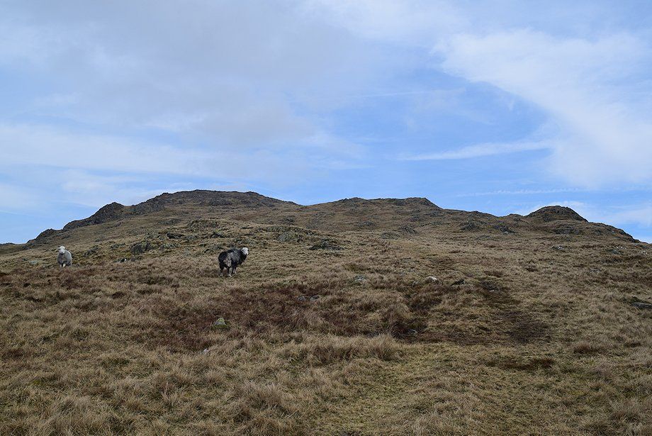
| The final slope leading up to the summit of Grey Friar |
 |
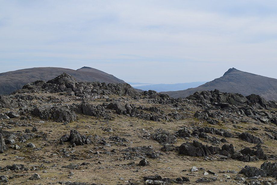
| Swirl How and the top of Great How Crags appear over the summit ridge of Grey Friar |
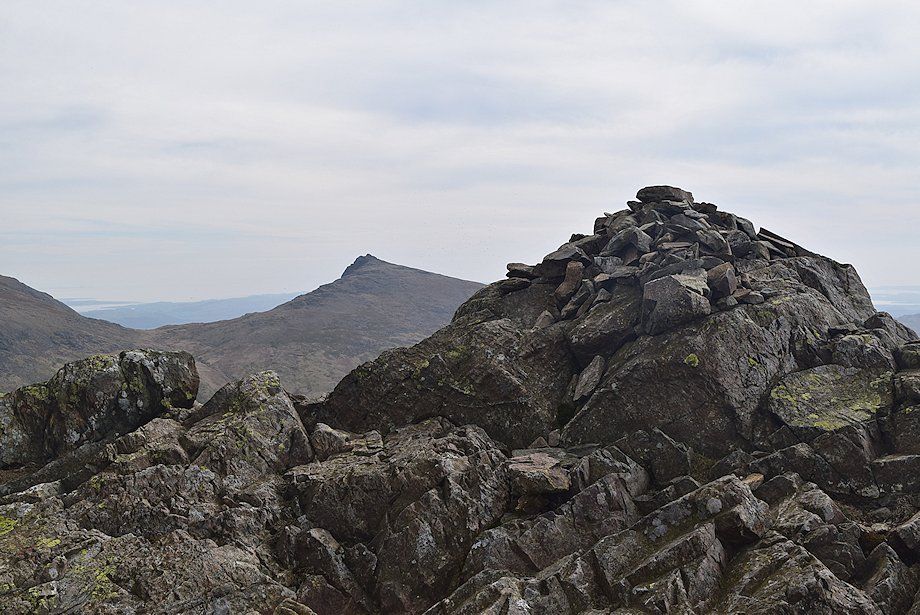 |
| The summit cairn on Grey Friar looking towards Dow Crag |
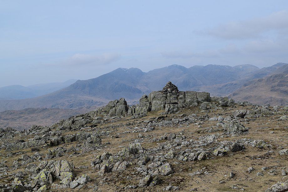 |
| The slightly lower northern cairn backed by the Scafells |
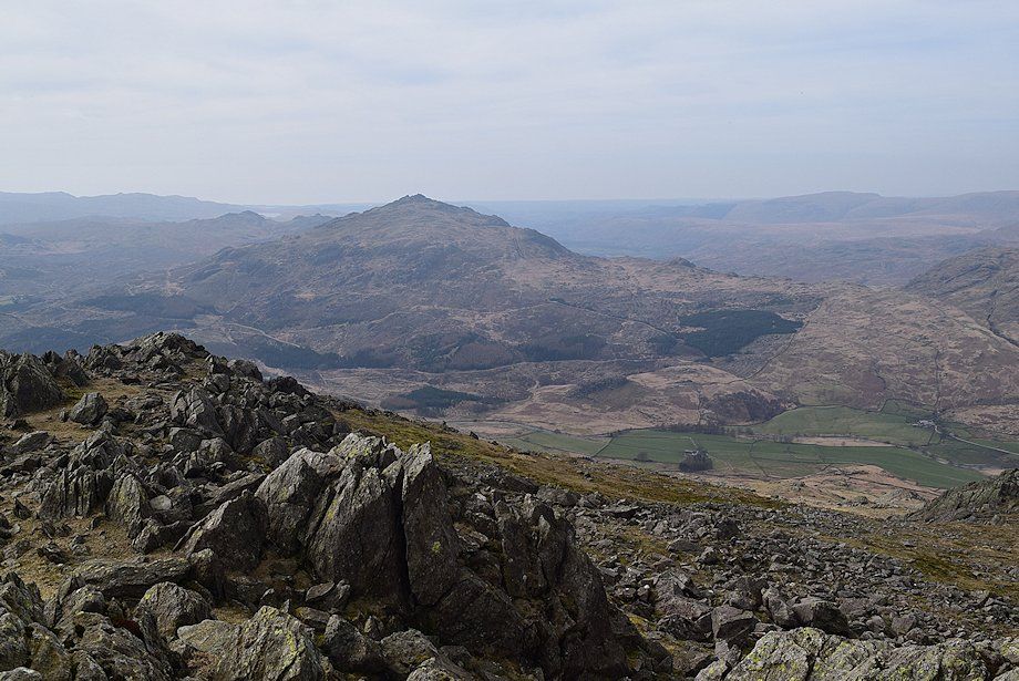 |
| Harter Fell from the northern cairn on Grey Friar |
 |
| The Helvellyn and Fairfield groups of fells from the northern cairn on Grey Friar |
 |
| Great Carrs and Swirl How |
 |
| The main cairn backed by Brim Fell and Coniston Old Man from the northern cairn with Dow Crag on the right |
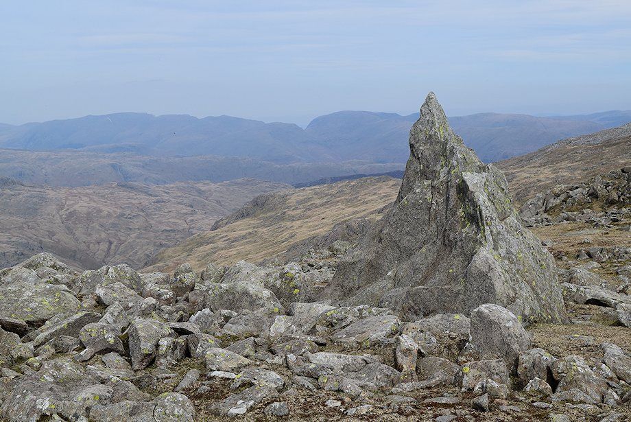 |
| The "Matterhorn Rock" on the summit of Grey Friar |
