
| Grey Knotts - Route One |
| Start - Seathwaite Bridge NY 239 127 | Distance - 1.75 miles | Ascent - 1,900 feet | Time - 1 hour : 40 minutes |
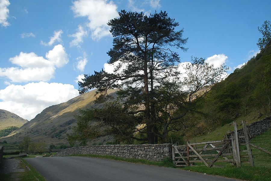 |
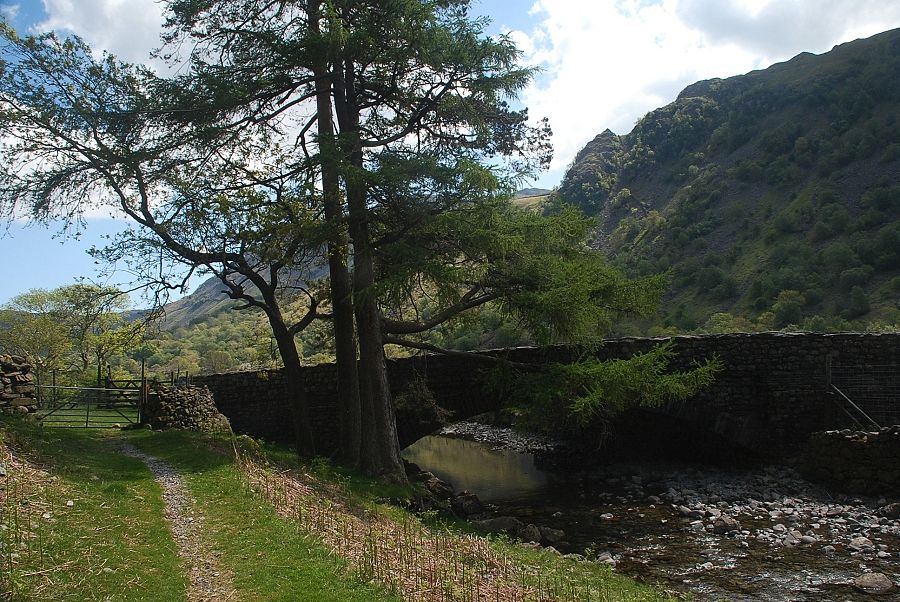
| Seathwaite Bridge at the start of the walk, a gate on the north side of the bridge gives access to a path beside the west bank of the River Derwent |
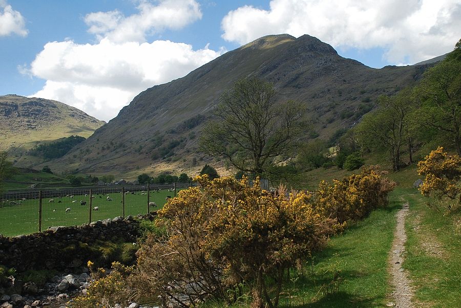 |
| Base Brown from the path beside the River Derwent |
 |
| Seathwaite Bridge from the riverside path |
 |
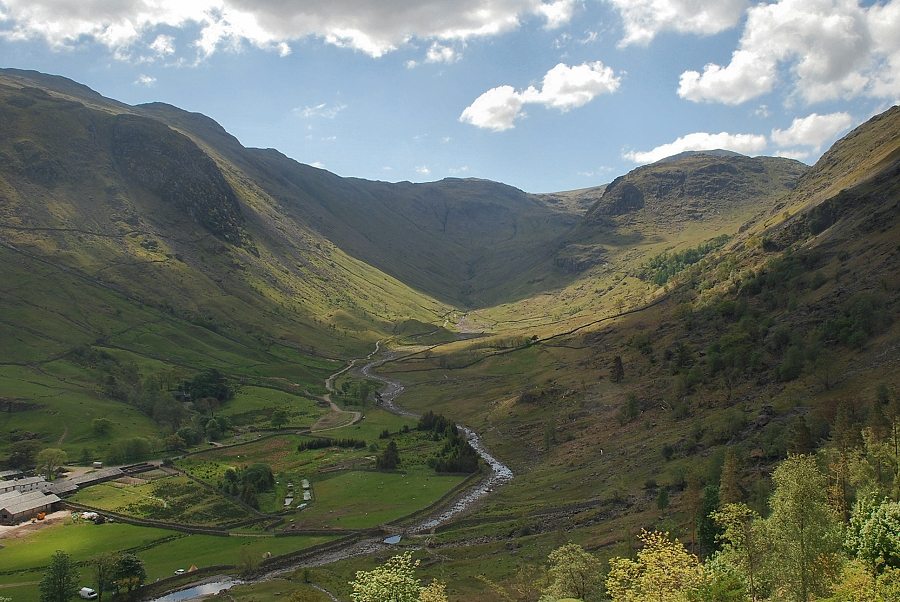
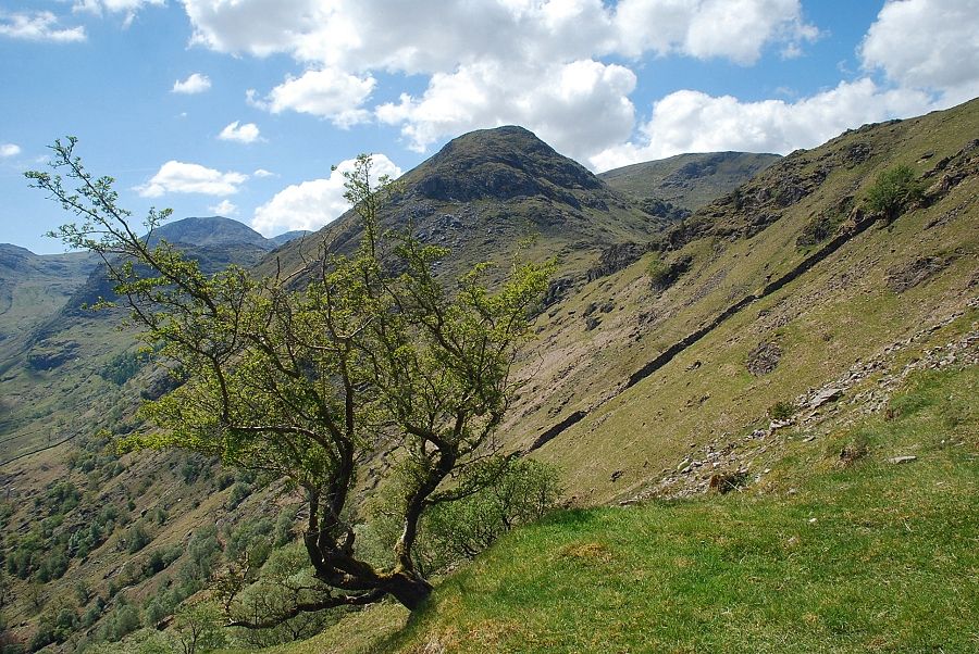
| Looking to Great End and Seathwaite Fell |
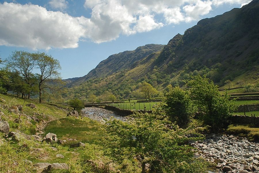 |
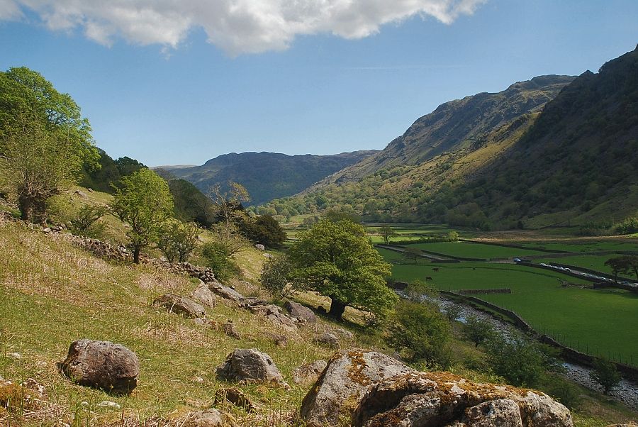
| Looking back across the River Derwent to Rosthwaite Fell and Thornythwaite Fell |
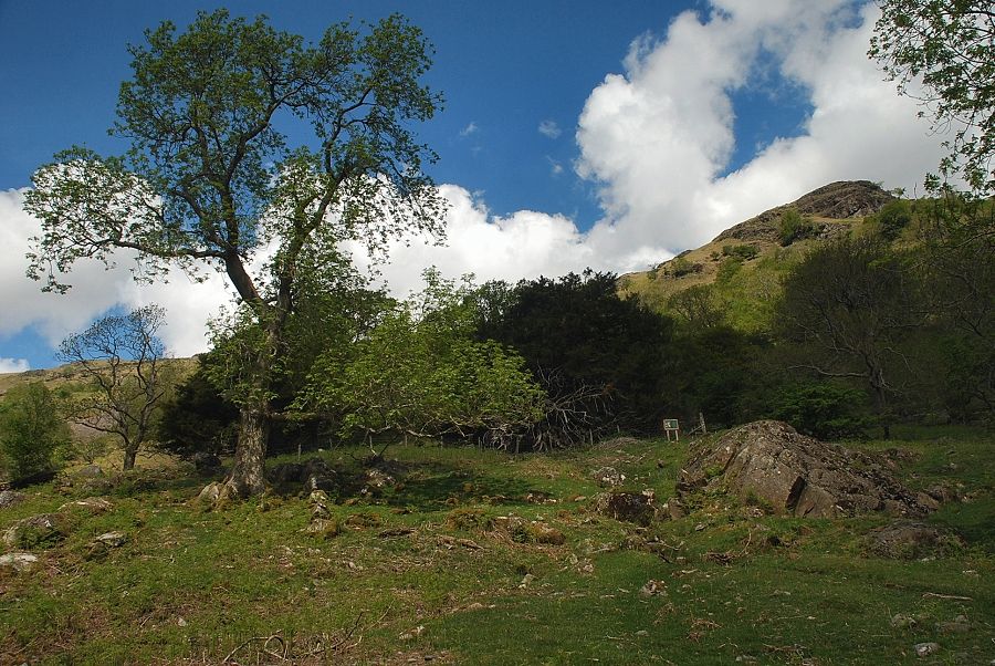 |
| Above the path is a small fenced-off area enclosing the Borrowdale Yews |
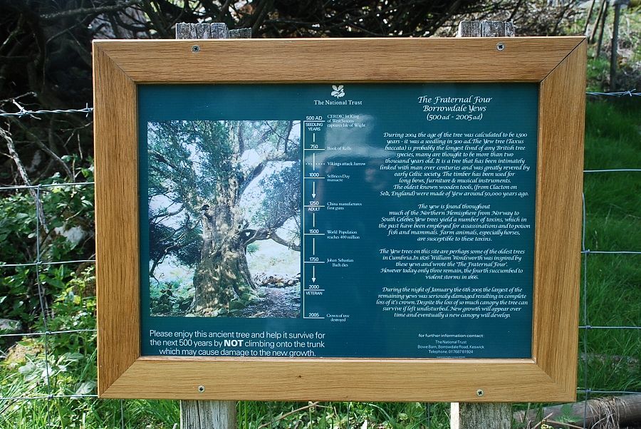 |
| The trees are immortalised in Wordsworth's poem Yew-Trees. " but worthier still of note are those fraternal Four of Borrowdale, joined in one solemn and capacious grove" |
 |
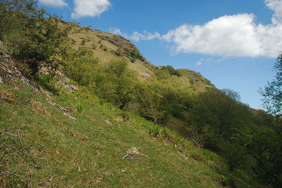
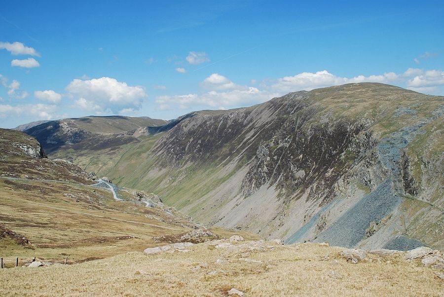
| Passing below the site of the Seathwaite Graphite Mine. The workings extend in a fairly narrow band to around 1,000 ft above the valley floor |
 |
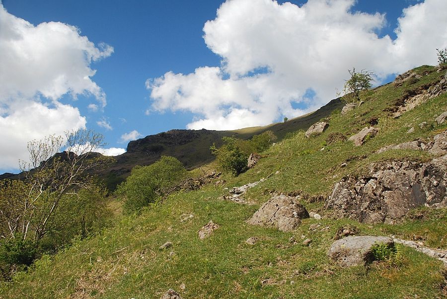
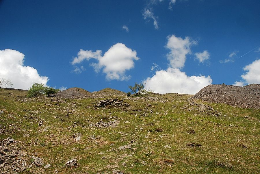
| The ascent starts near the small stream of Newhouse Gill which is often dry in summer. The actual start of the path is obscure but as height is gained it becomes much clearer as it climbs away from the gill towards the lower workings of the graphite mine |
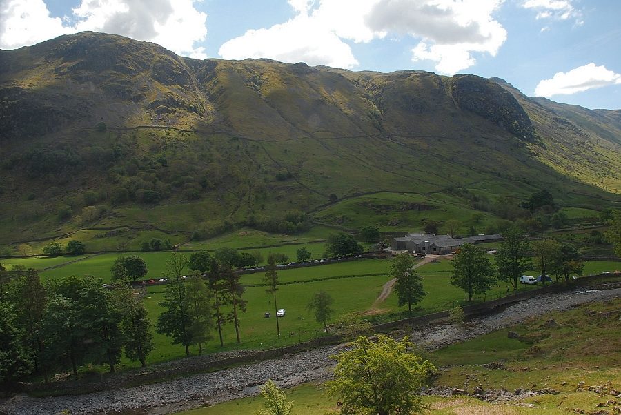 |
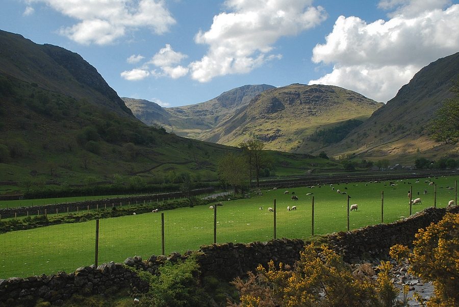
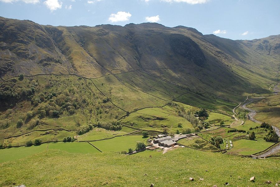
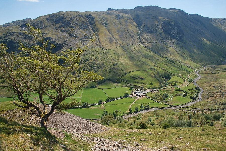
| Looking across to Seathwaite Farm from the start of the ascent |
 |
| Looking to Great Crag and Rosthwaite Fell from the start of the ascent |
 |
| Most of the lower adits and spoilheaps of the mine are hidden by a screen of mixed woodland which was planted in the 1960's. An old miner's path can be found emerging from the trees |
 |
| The miner's path zig-zags all the way up the hillside passing between the adits and spoilheaps of the mine |
 |
| Grains Gill and Seathwaite Fell from the miner's path |
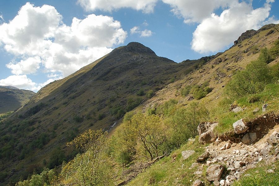 |
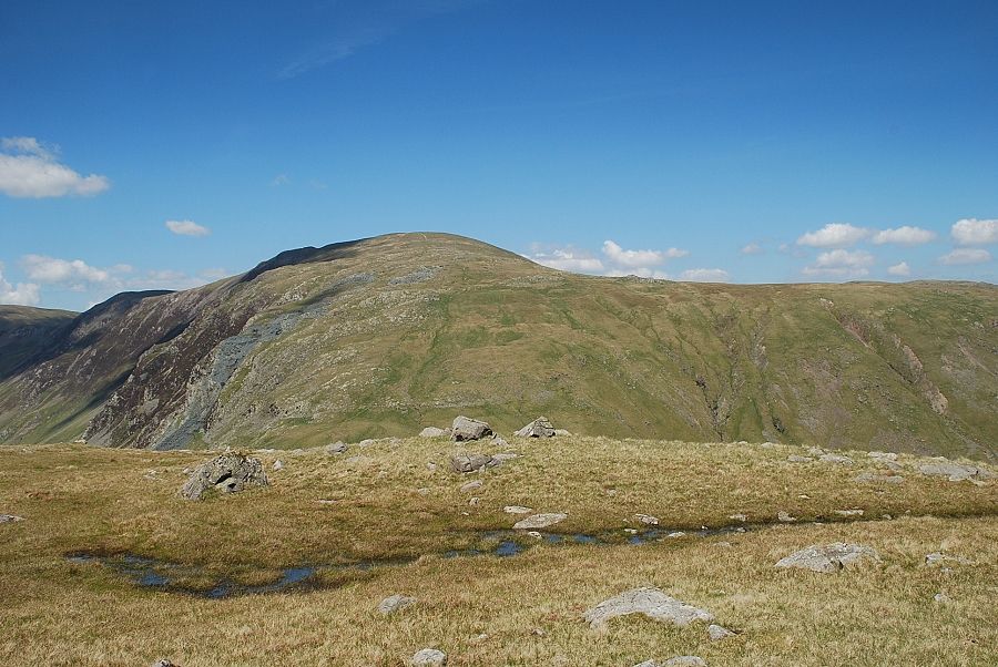
| Base Brown from the miner's path |
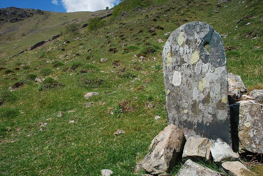 |
| Near one of the main spoilheaps (Gilbert's Level) is a slate stone which is inscribed - John Bankes Esquire 1752. The Bankes family were the owners of the mine and this is one of five claim stones which were erected around the mine as a warning to trespassers and thieves. Graphite was a very valuable commodity and the rate of its extraction from the mine was carefully restricted to maximise profits. By 1830 it was worth 45 shillings per lb, equivalent to £220 in today's money. Little wonder that guardhouses were erected over every entrance to the mine and the miners were stripped and searched by armed guards after every shift to minimise pilfering, a few stolen ounces of graphite was worth far more than their weekly pay |
 |
| Approaching one of the main spoilheaps |
 |
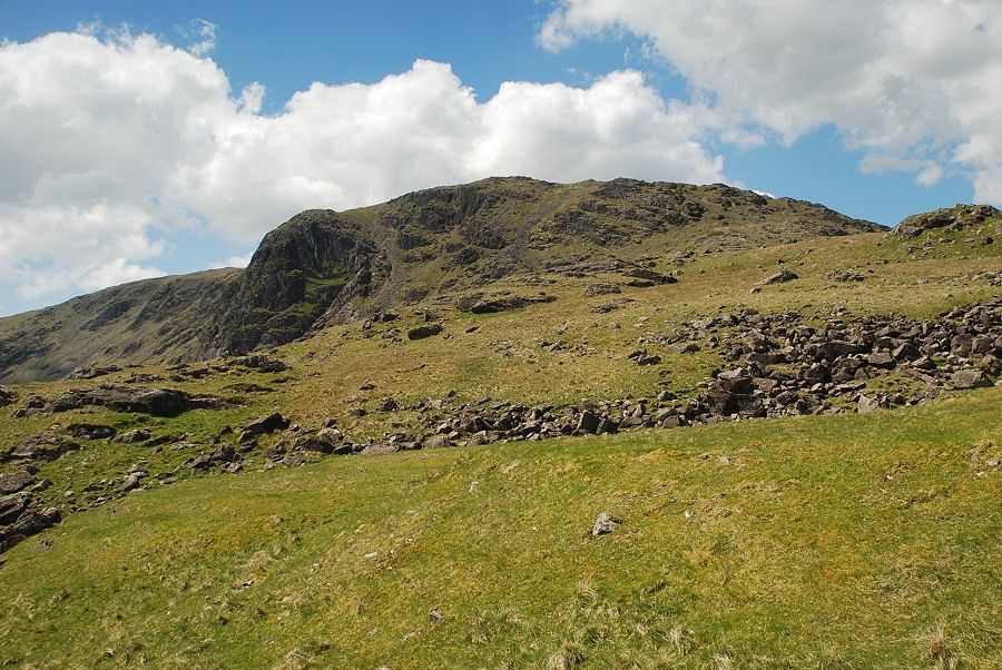
| One of the entrances to the mine. The adits were driven into the slope to intercept the graphite deposits which occurred as vertical pipes, some of which were hundreds of feet in length and varied in width between three feet and nine feet |
 |
| Looking down on Seathwaite Farm from the grassy top of the main spoilheap |
 |
| Continuing on through the mine workings |
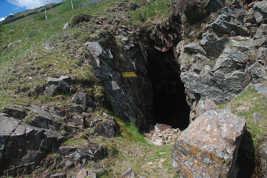 |
| The entrance to Farey's Level. This adit only runs for a few yards before meeting one of the excavated pipes which plunges almost vertically for over a hundred feet - the danger sign is there for a reason ! |
 |
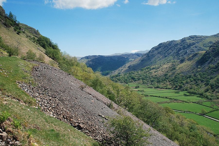
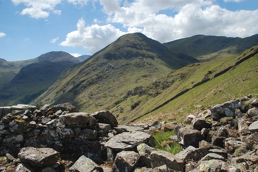
| Rosthwaite Fell across the valley with Helvellyn in the distance on the left |
 |
| Base Brown from Farey's Level spoilbank |
 |
| Glaramara from Farey's Level |
 |
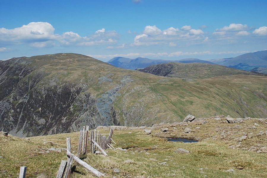
| Continuing on the ascent through the mine workings, Base Bown and Green Gable from the Gills Stage Level |
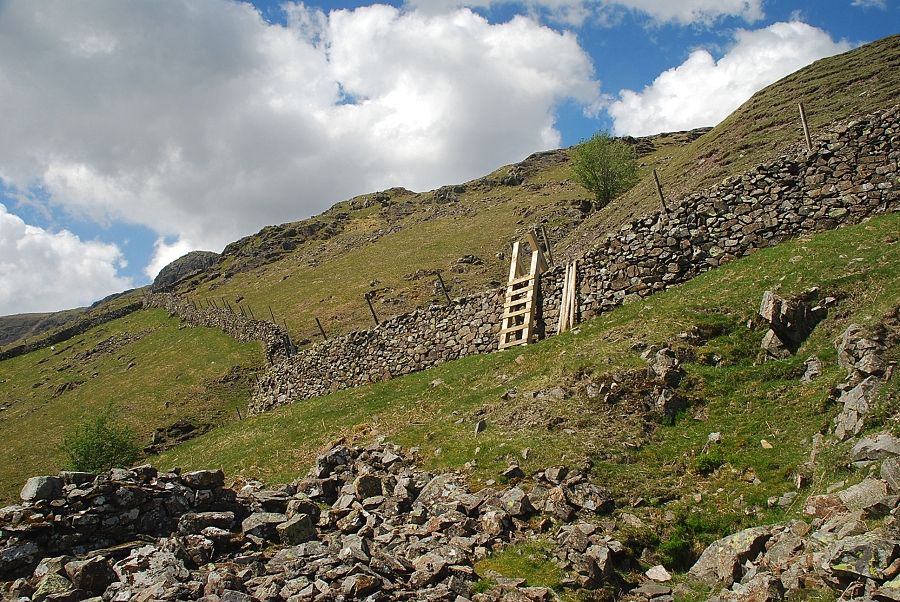 |
| On reaching Harrison's Level a tall ladder stile gives access to the upper workings of the mine on Seatoller Common |
 |
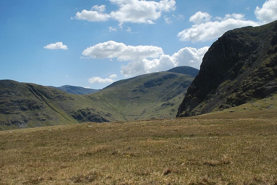
| Great End, Base Brown and Green Gable from the ruins of the Harrison's Level guardhouse |
 |
| The Eastern Fells of Great Dodd, Watson's Dodd, Stybarrow Dodd, Raise, White Side and Helvellyn from the ruins of Harrison's Level guardhouse |
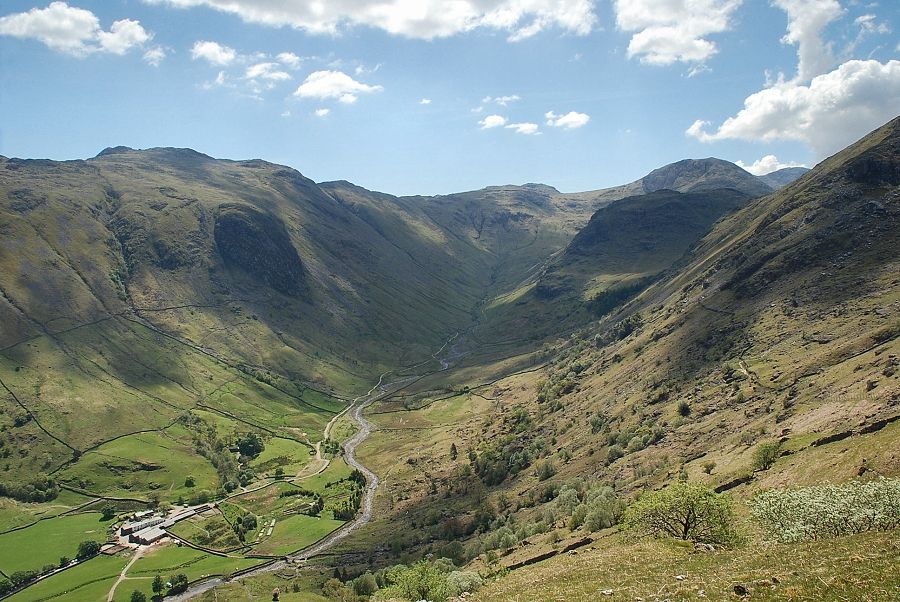 |
| Seathwaite Farm and Grains Gill from Harrison's Level |
 |
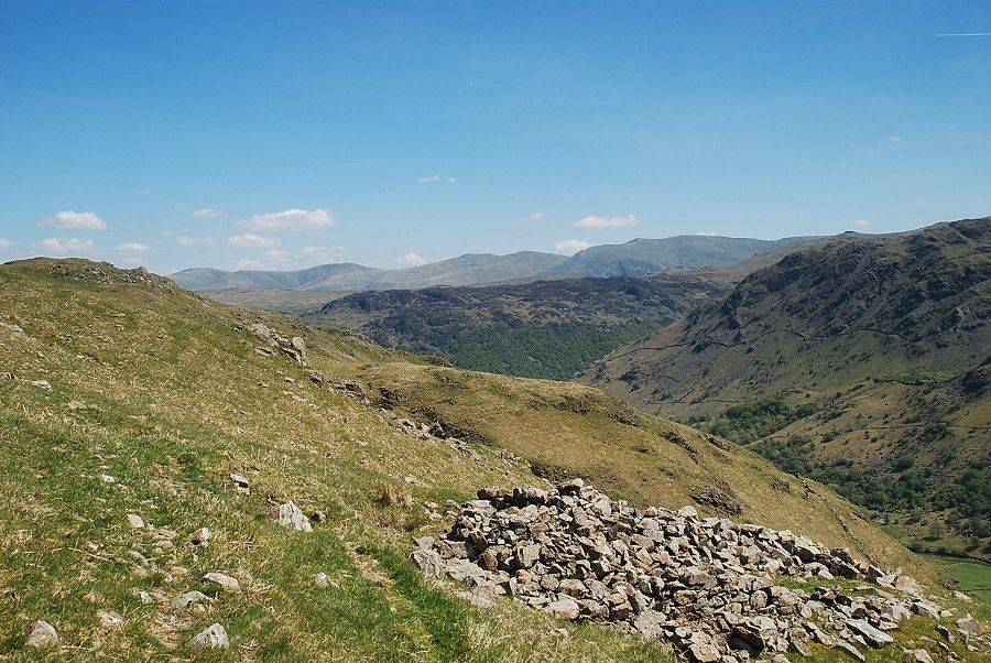
| On Seatoller Common the character of the mining operations changes. The topography is much less steep, there are many more adits but the spoilheaps are smaller. It appears that these date from near the end of the working life of the mine when the rich deposits of the lower workings had been exhausted and fresh reserves were being sought. The mine finally closed in 1891 after almost three hundred years of continuous operation |
 |
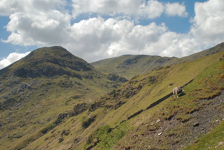
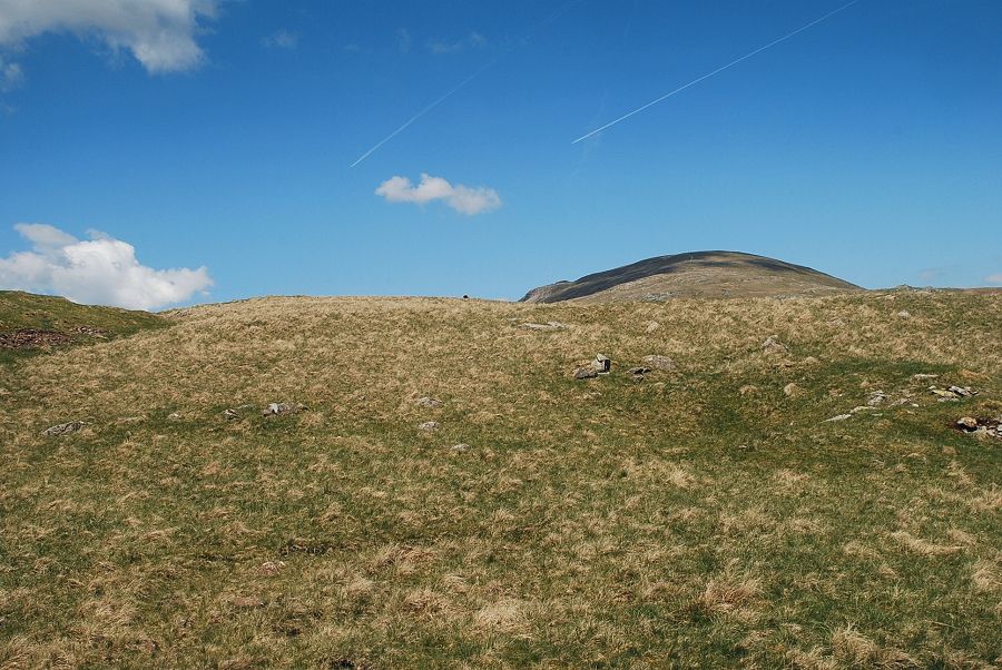
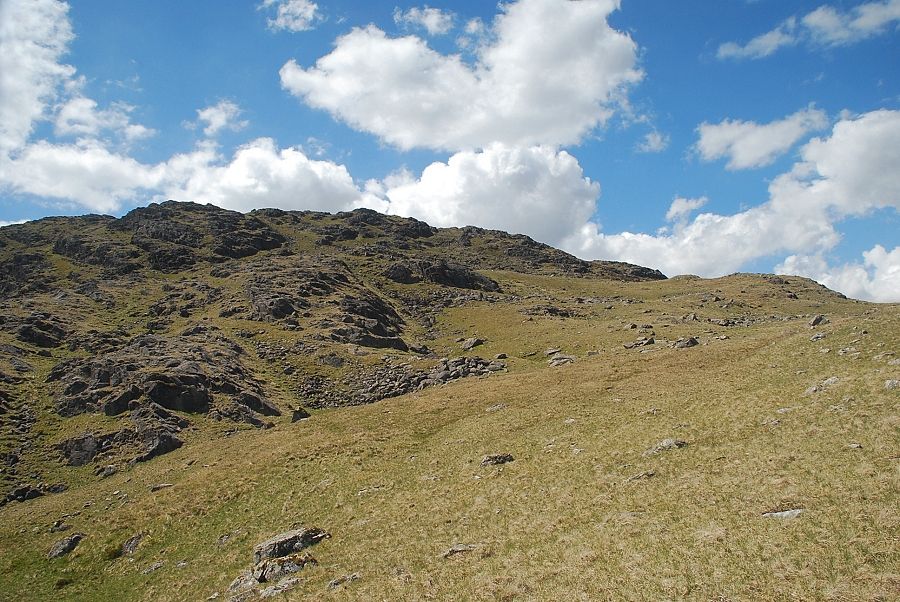
| Grey Knotts comes into view from the upper workings of the graphite mine |
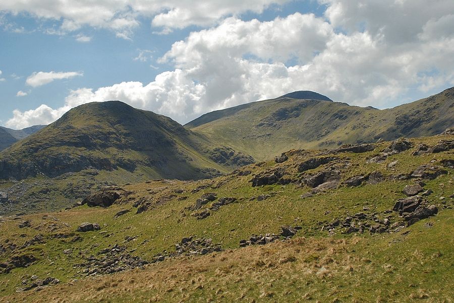 |
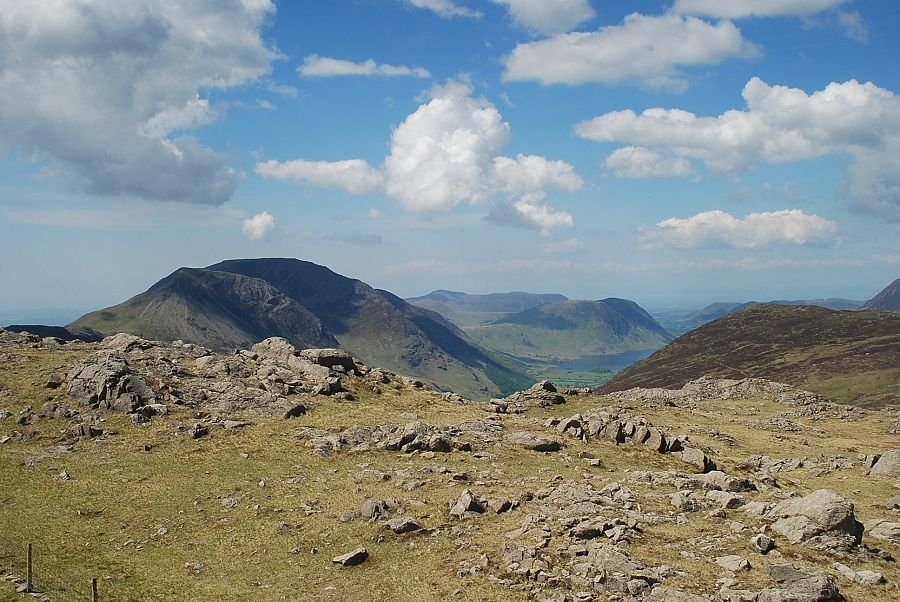
| Looking over to Base Brown with the summit of Great Gable appearing over Green Gable |
 |
| There is no path across Seatoller Common which can be confusing in hill fog but it's just a matter of aiming west-northwest to join a fence which rises from the summit of Honister Pass |
 |
| Blencathra from the upper workings of the graphite mine |
 |
| Honister Crag and Robinson across Seatoller Common |
 |
| The Helvellyn range from Seatoller Common |
 |
| Great Gable and Green Gable across Raven Crag |
 |
| Dale Head from Seatoller Common |
 |
| Grey Knotts from Seatoller Common, the route continues to the low point on the right where it joins the fence |
 |
| Looking over to Glaramara on the left with Allan Crags and Esk Pike on the right |
 |
| Joining the fence and path which come up from Honister Pass |
 |
| Blencathra above High Scawdel |
 |
| Looking over to Robinson and Dale Head |
 |
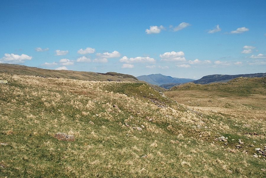
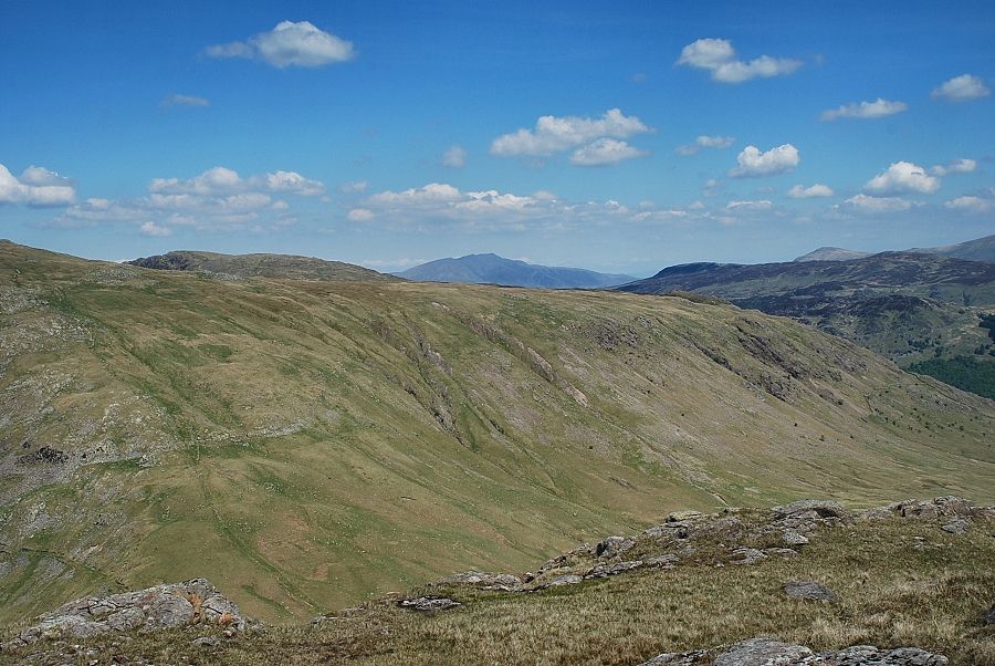
| Looking back along the route taken across Seatoller Common |
 |
| The fence leads directly to the summit of Grey Knotts and continues along the ridge to the summit of Brandreth |
 |
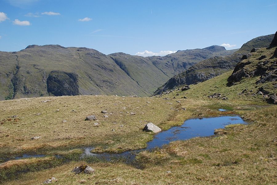
| Looking down to Little Gatesgarthdale |
 |
| A distant Blake Fell beyond Fleetwith Pike on the right |
 |
| On reaching a large marker cairn the summit ridge comes into view |
 |
| Looking over to High Raise and Glaramara |
 |
| Looking back to Dale Head, Skiddaw and High Spy |
 |
| Just below the summit of Grey Knotts another fence joins the ridge fence |
 |
| A step stile gives access the eastern summit of Grey Knotts |
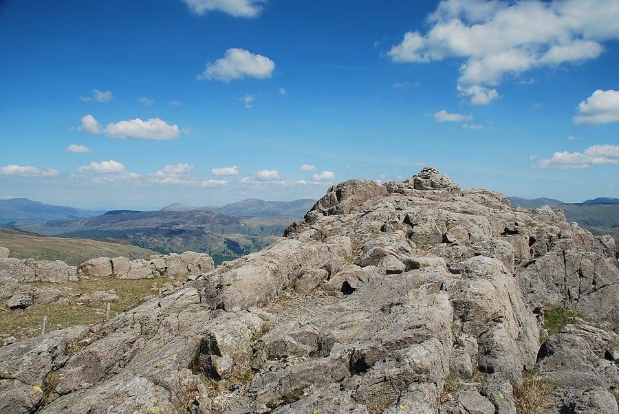 |
| The eastern summit of Grey Knotts. |
 |
| Looking over Fleetwith Pike to the north western fells from the eastern summit of Grey Knotts |
 |
| Hindscarth, Dale Head and High Spy with Skiddaw and Blencathra on the horizon |
 |
| Blencathra from the eastern summit of Grey Knotts |
 |
| The Helvellyn range from the eastern summit of Grey Knotts |
 |
| Glaramara from the eastern summit of Grey Knotts |
 |
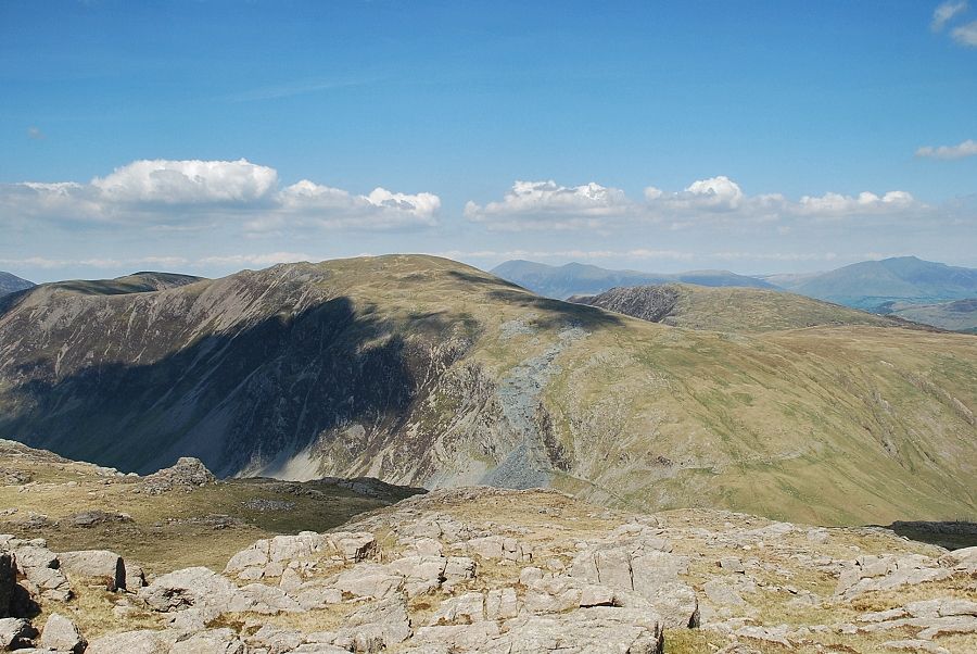
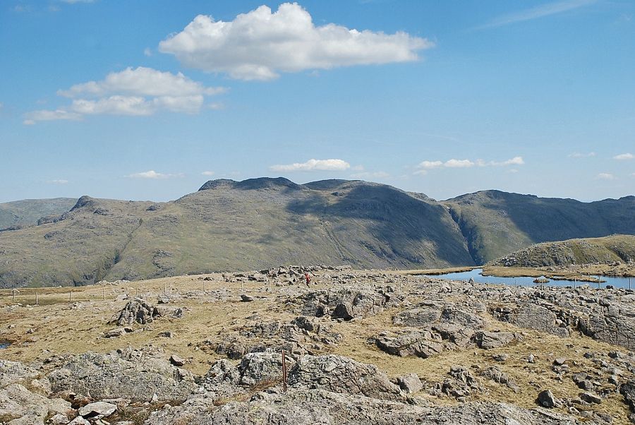
| Looking over Base Brown to Bowfell and Esk Pike above Allan Crags in the centre with Great End, Ill Crag and Broad Crag on the right |
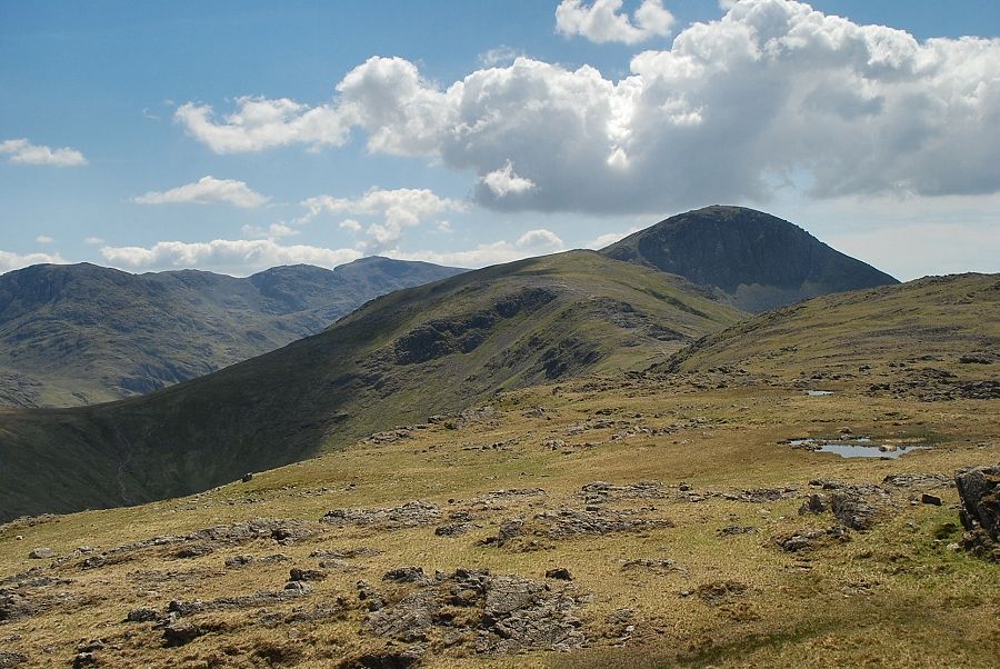 |
| Green Gable and Great Gable with Scafell Pike to the left |
 |
| The western summit of Grey Knotts backed by Red Pike, Scoat Fell and Pillar. The western summit is accessed by a hurdle in the fence on the right |
 |
| High Crag and High Stile on the left with Fleetwith Pike on the right, Blake Fell and Mellbreak in the centre |
 |
| Approaching the western summit of Grey Knotts |
 |
| Looking back from the western summit to the eastern summit of Grey Knotts |
 |
| Glaramara from the western summit |
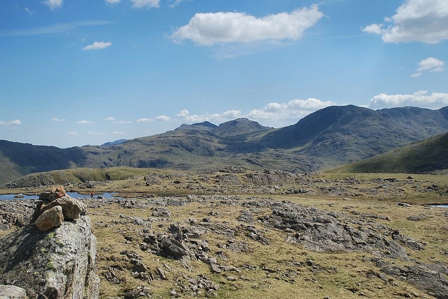 |
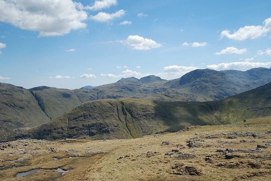
| Bowfell, Esk Pike and Great End from the western summit |
 |
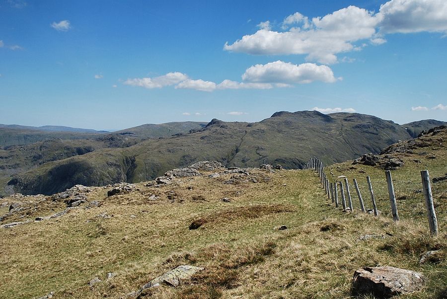
| The connecting ridge to Brandreth |
 |
| Buttermere and Crummock Water from the western summit of Grey Knotts |
|