
| Grisedale Pike - Route One |
| Start - Comb Bridge NY 208 242 | Distance - 1.85 miles | Ascent - 1,560 feet | Time - 1 hour : 30 minutes |
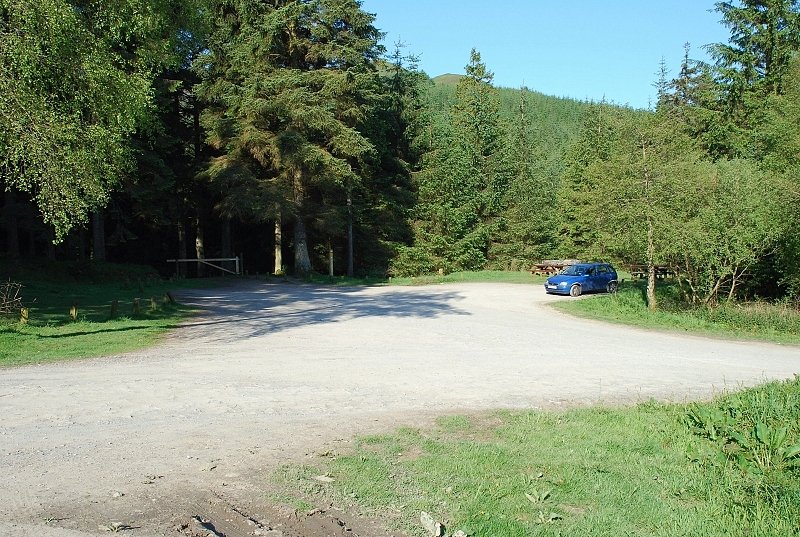 |
| Revelin Moss car park near the summit of Whinlatter Pass just above Comb Bridge. The lower part of Grisedale Pike's north ridge can be seen above the trees in the centre. The approach to the ridge is not obvious ... near the barrier gate a path descends rightwards to another forest road running at a lower level along the north side of Sanderson Gill |
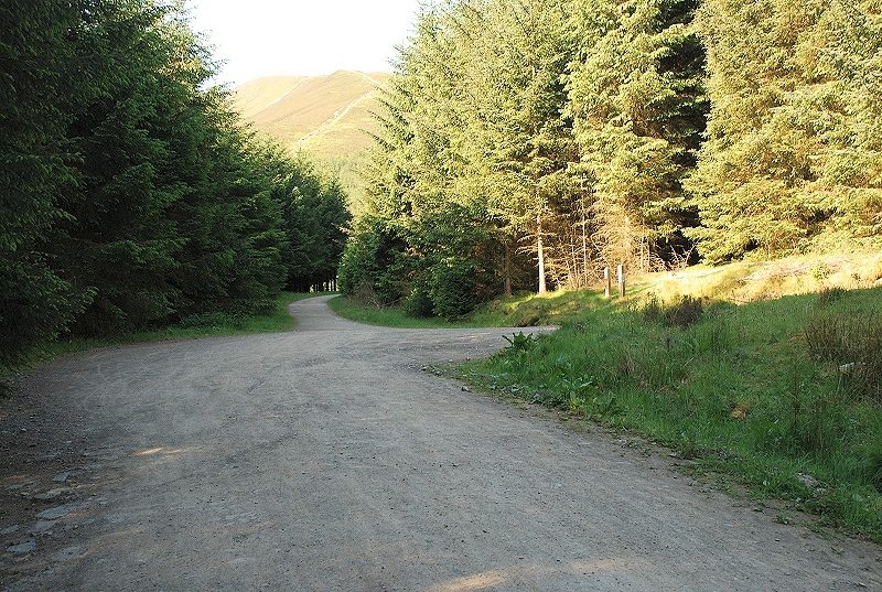 |
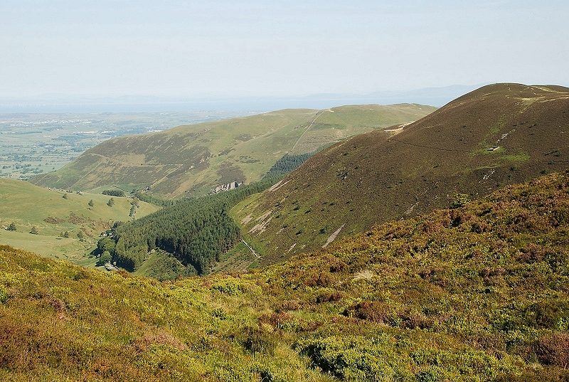
| On the lower forest road with the north-east ridge of Grisdale Pike framed in the trees. The road is followed for about 250 yards before bearing right at a junction onto another road |
 |
|
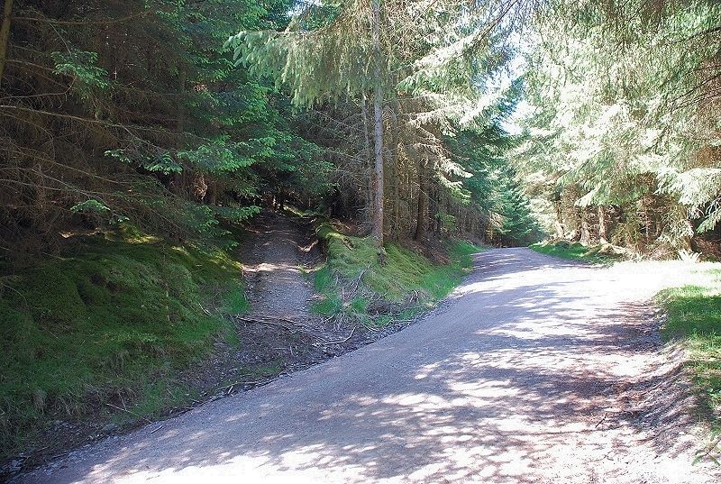
Just sixty yards beyond the junction a track (an old firebreak) leads off to the left. It is only followed for a few yards before taking a path, again on the left, that rises more steeply through the dense conifers |
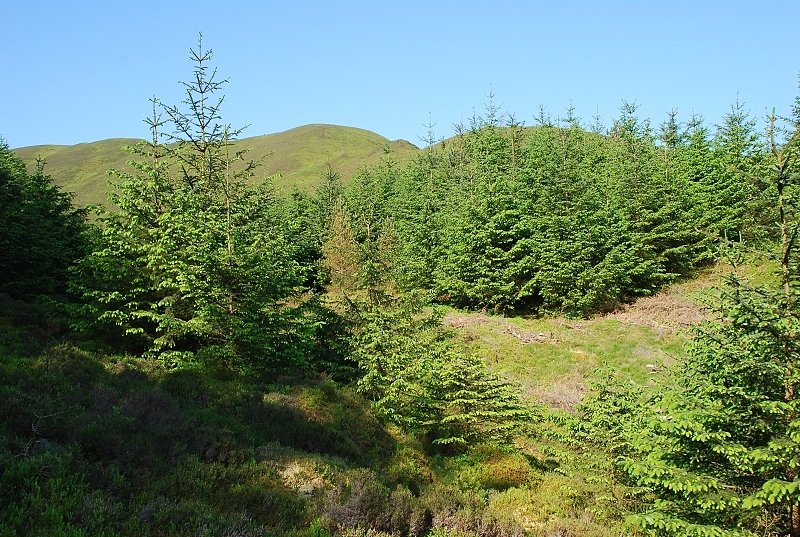 |
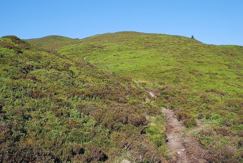
| After a quarter of a mile and 300ft of ascent the trees begin to thin out as the path approaches the open fellside |
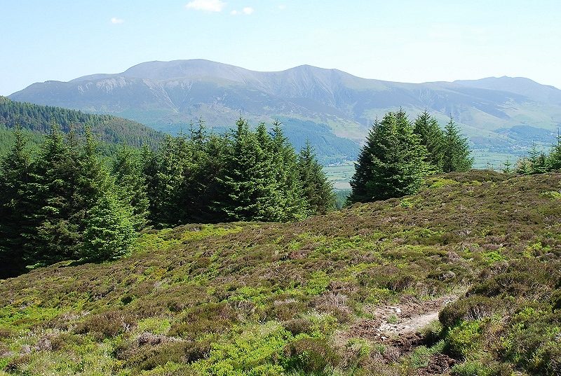 |
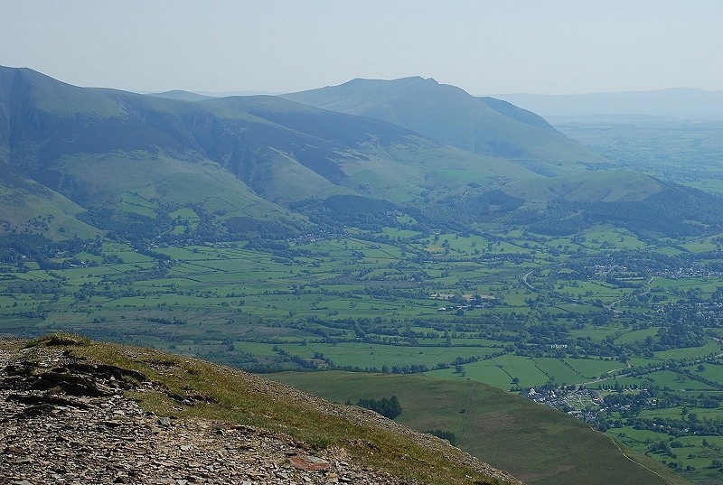
| Looking back to Skiddaw and Blencathra |
 |
| The path continues on through heather to climb towards Black Crag, a walker can just be seen, left centre on the skyline, on the edge of Black Crag |
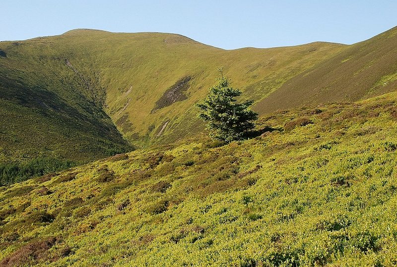 |
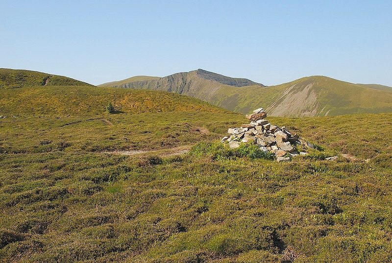
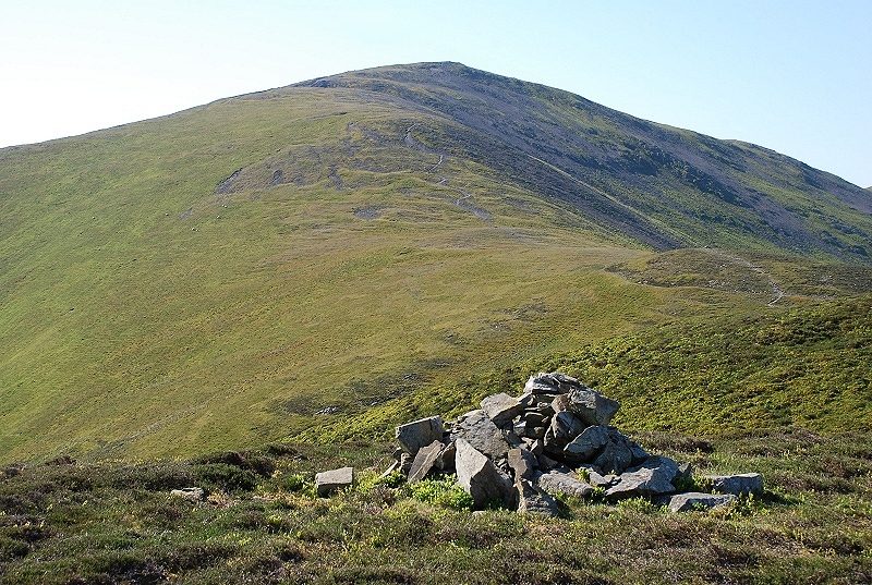
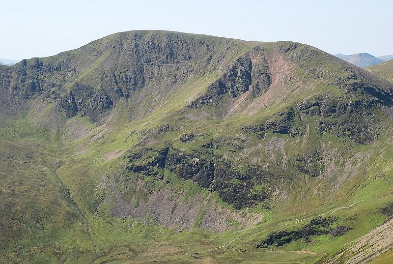
| Looking left to the summit of Grisedale Pike at the head of Sanderson Gill |
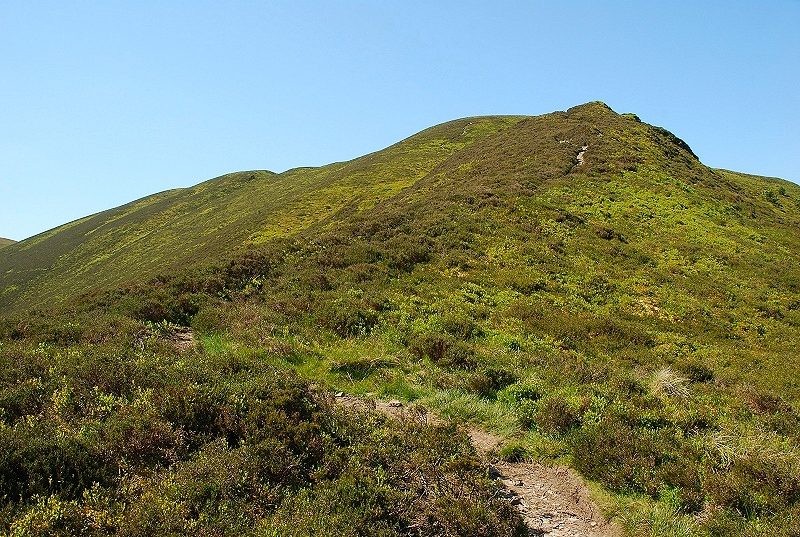 |
| Nearing the top of Black Crag, its line of cliffs look quite impressive from the Whinlatter Pass road but they are hardly noticed on this route. The path continues on from Black Crag to join the north ridge at Hobcarton End |
 |
| Looking down to the Lorton end of the Whinlatter Pass from Black Crag |
 |
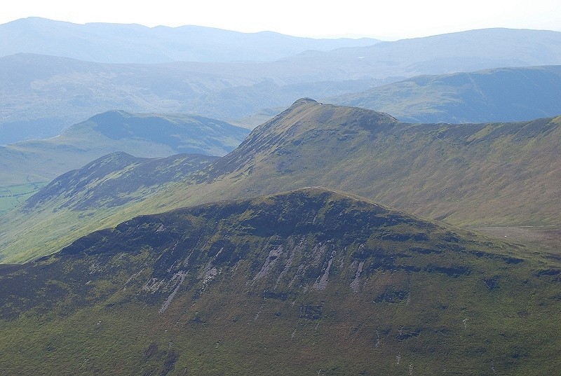
| Hopegill Head and Ladyside Pike from Hobcarton End |
 |
| Looking north from Hobcarton End over Whinlatter to the dome of Lord's Seat |
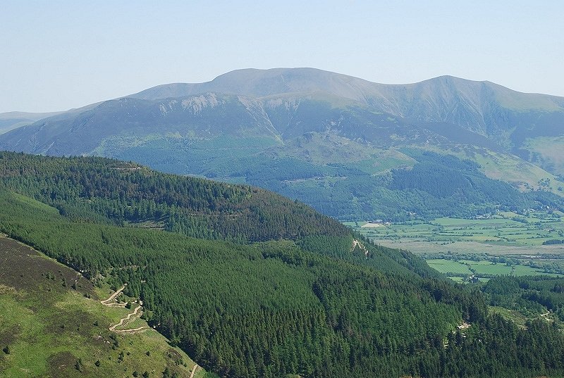 |
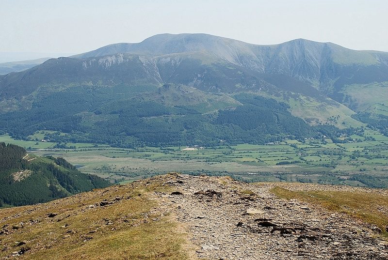
| Skiddaw across the Thornthwaite Forest |
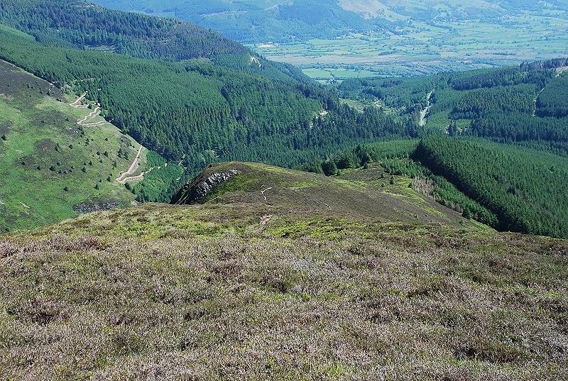 |
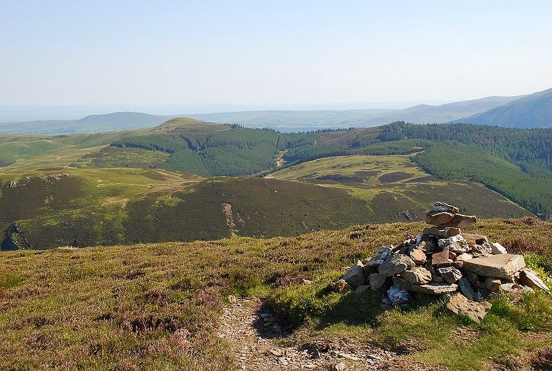
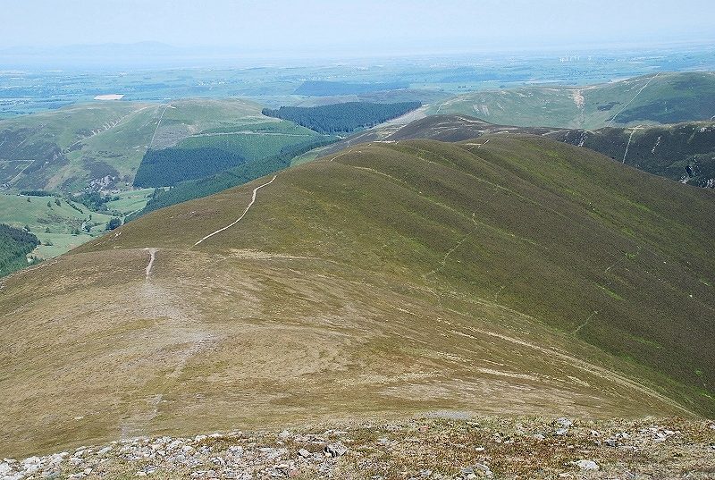
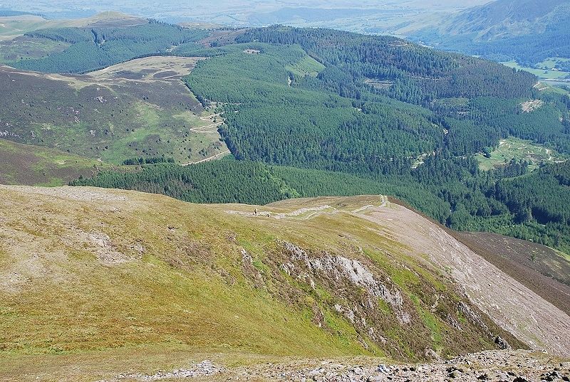
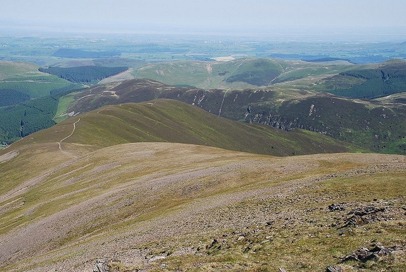
| Looking back on the route of ascent with Black Crag left of centre, the ascent path emerged from the forest through the small trees right of centre |
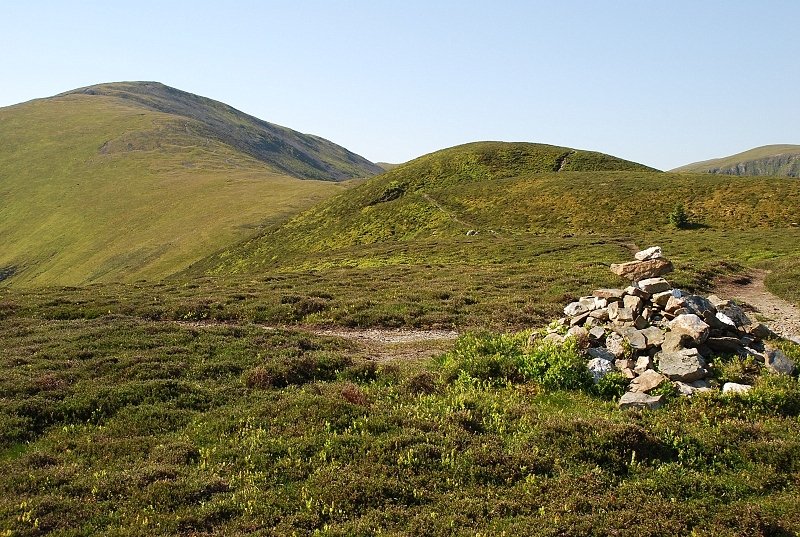 |
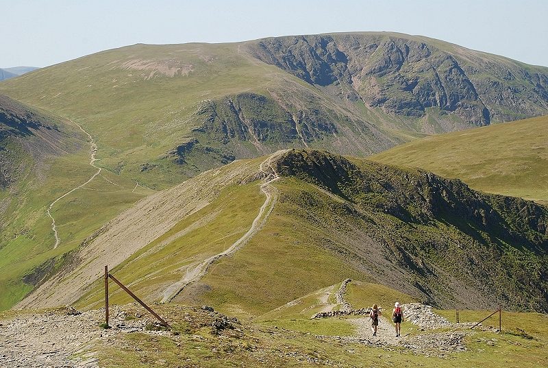
| The path continues on over the triple tops of Hobcarton. Further on I noticed some traces of strange glittery material on the path and glancing across saw that one of the small conifers was covered in Chistmas decorations, tinsel and colourful baubles, which was rather bizarre as this walk was done in early June! |
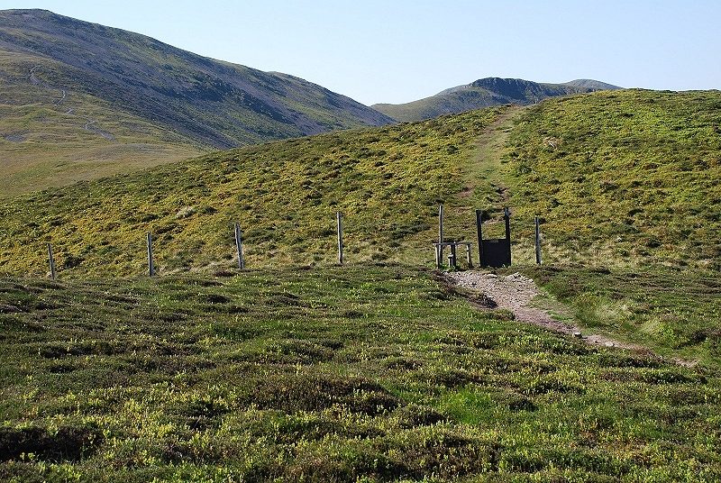 |
| The top of Hobcarton lies just beyond a fence which marks the upper limit of the forestry land |
 |
| Hopegill Head from the summit of Hobcarton |
 |
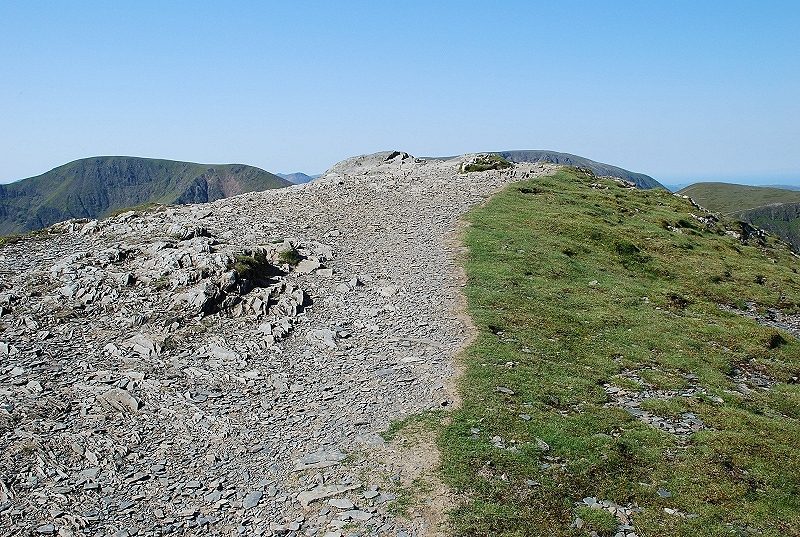
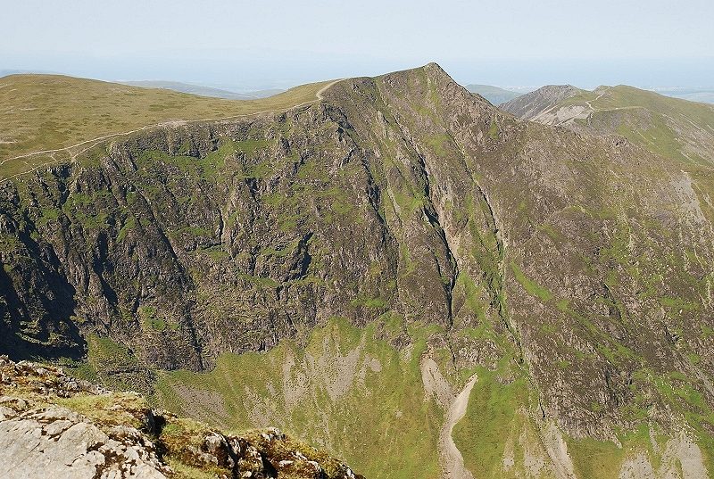
| The upper section of the north ridge from Hobcarton. The heather and bilberry give way to sparse grass and shale on the steeper climb towards the summit. Higher up, the ridge loses definition as it merges with and joins the north-east ridge |
 |
| Looking back to Hobcarton from the upper part of the north ridge |
 |
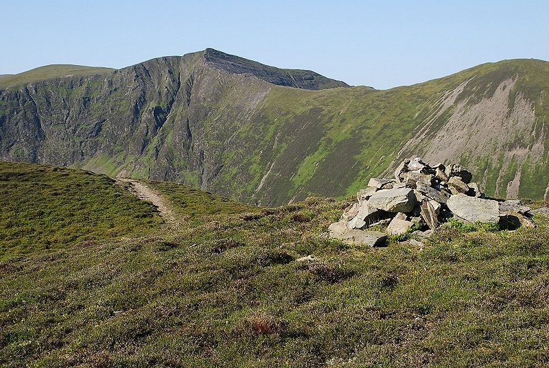
| The north-east ridge is met at a ruined wall and a solitary redundant fence post |
 |
| Looking down the north-east ridge |
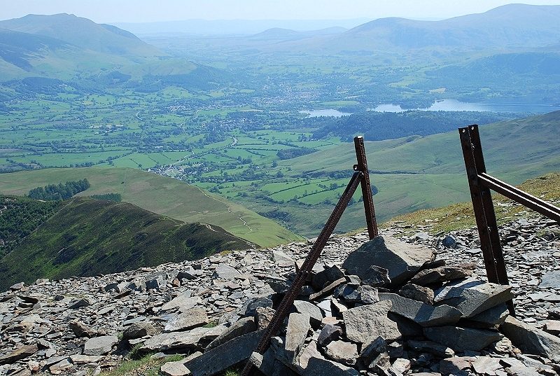 |
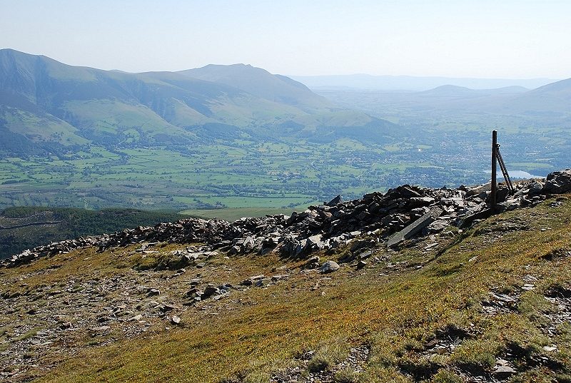
| Derwent Water from the north-east ridge |
 |
| Looking back to the north-east ridge from just below the summit |
 |
| The summit of Grisedale Pike |
 |
| The Skiddaw group from the summit |
 |
| Blencathra across the Vale of Keswick |
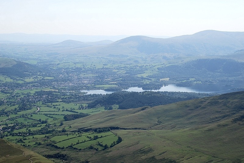 |
| Keswick and Derwent Water |
 |
| Causey Pike above Outerside |
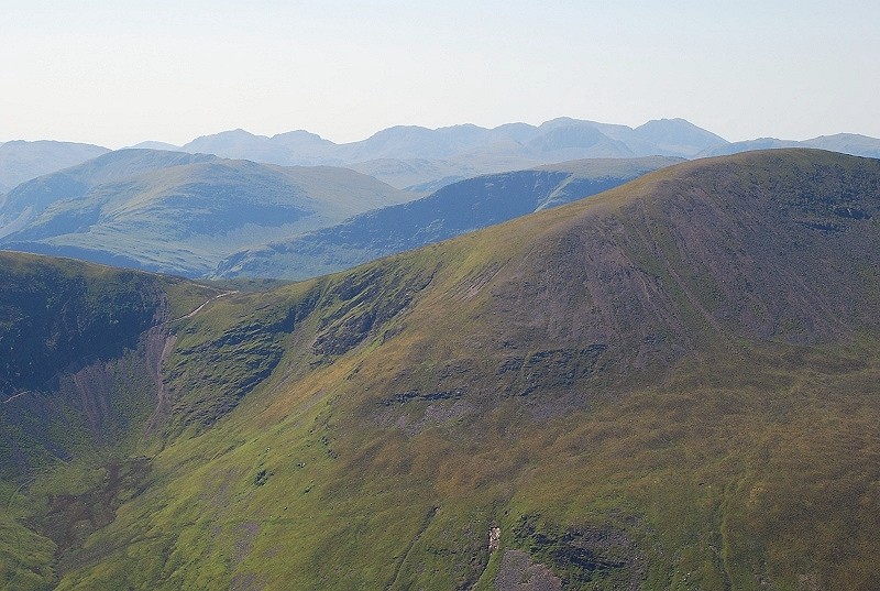 |
| Dale Head and Hindscarth above Sail Pass with a long line of fells on the horizon from Glaramara to Kirk Fell |
 |
| The north-east face of Eel Crag above Coledale |
 |
| Looking south-west to Grasmoor |
 |
| Hopegill Head across the Hobcarton Valley |
 |
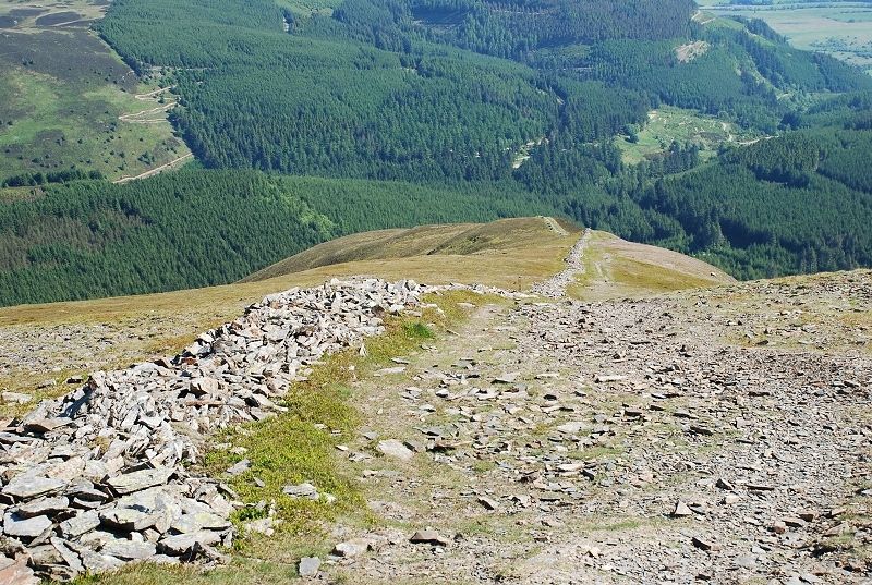
| A final look back along the route of ascent |
|