
| Gummer's How - Route One |
| Start - Astley's Plantation SD 390 877 | Distance - 0.5 miles | Ascent - 370 feet | Time - 0h : 25 minutes |
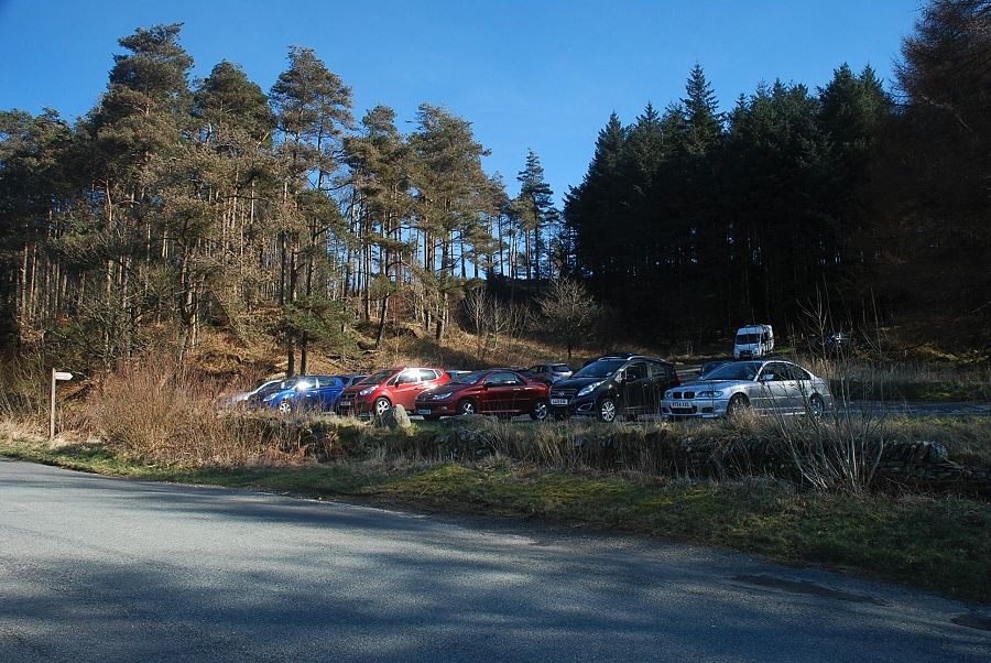 |
| Astley's Plantation car park, near the top of Fell Foot Brow road, is the starting point for this walk |
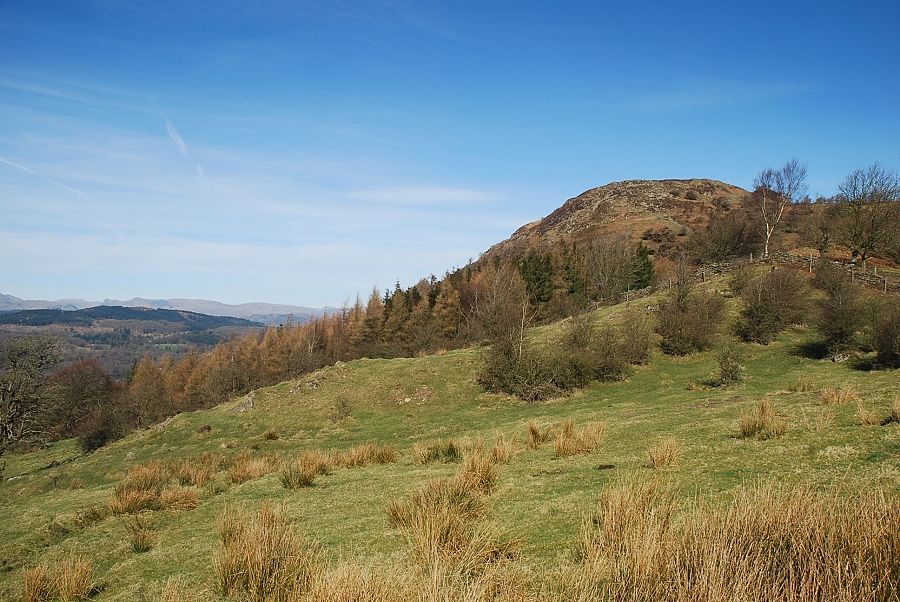 |
| Gummer's How from the Fell Foot Brow road |
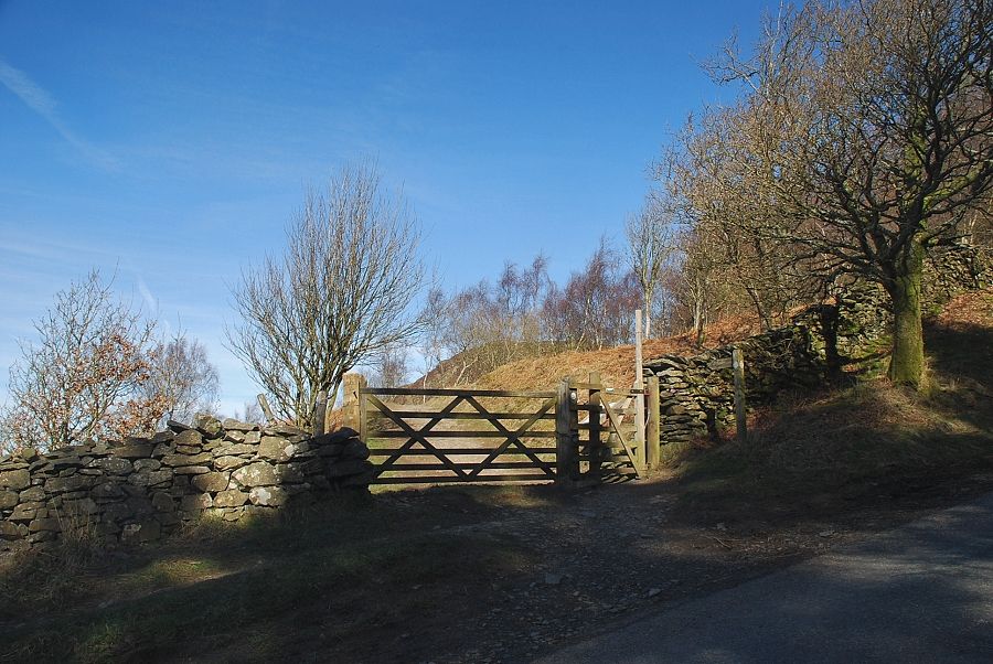 |
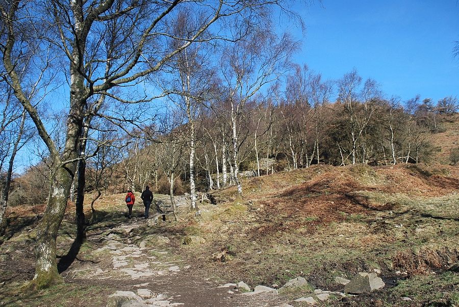
| A gate, 150 yards above the car park, gives access to the path to Gummer's How |
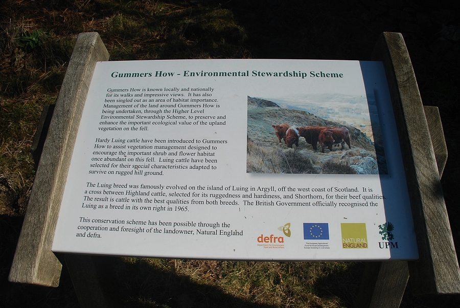 |
| An information board located just beyond the gate explains the current conservation work being undertaken by Natural England |
 |
| The path to Gummer's How |
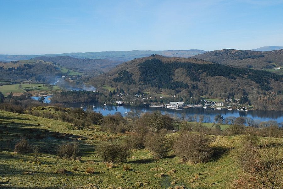 |
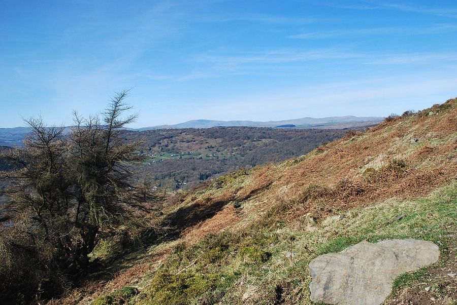
| Looking down to Lakeside at the foot of Windermere |
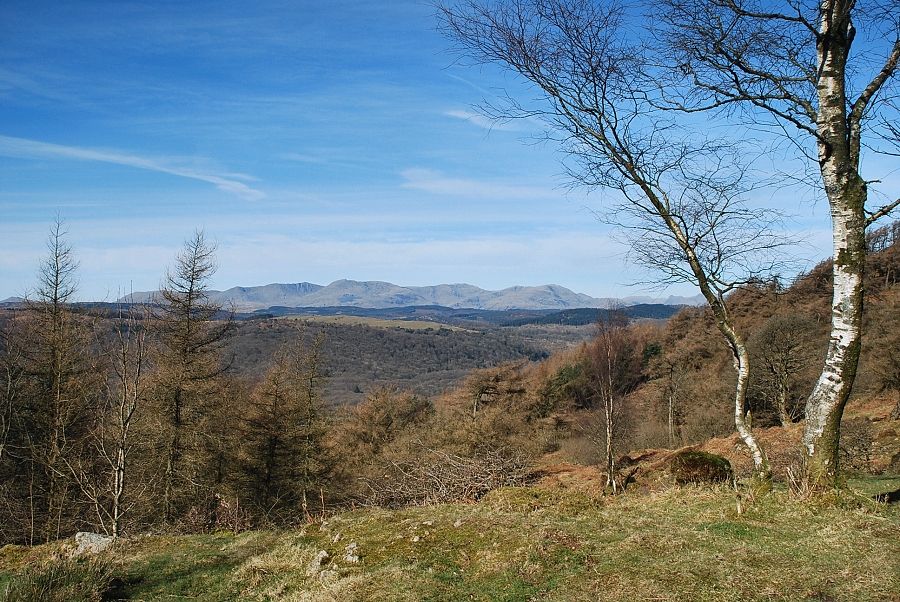 |
| The Coniston fells from the path to Gummer's How |
 |
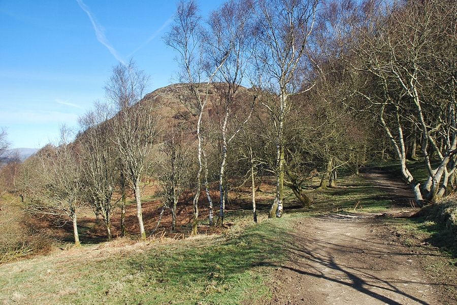
| The path is level for around 350 yards as it passes below a steep slope planted with silver birch and mature larch trees on the right |
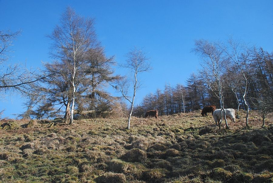 |
| A few of the Luing cattle were grazing on the slope near the edge of the larch trees |
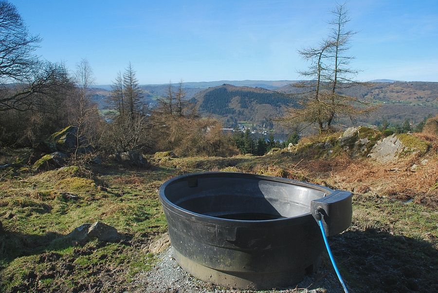 |
| To the left of the path a large water trough has been set up for the cattle |
 |
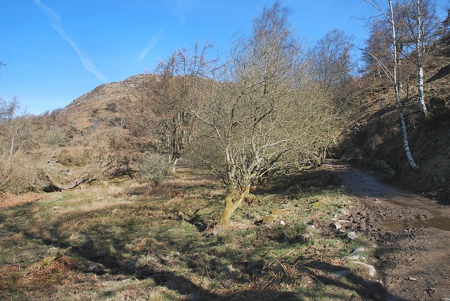
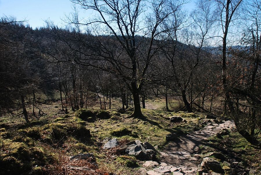
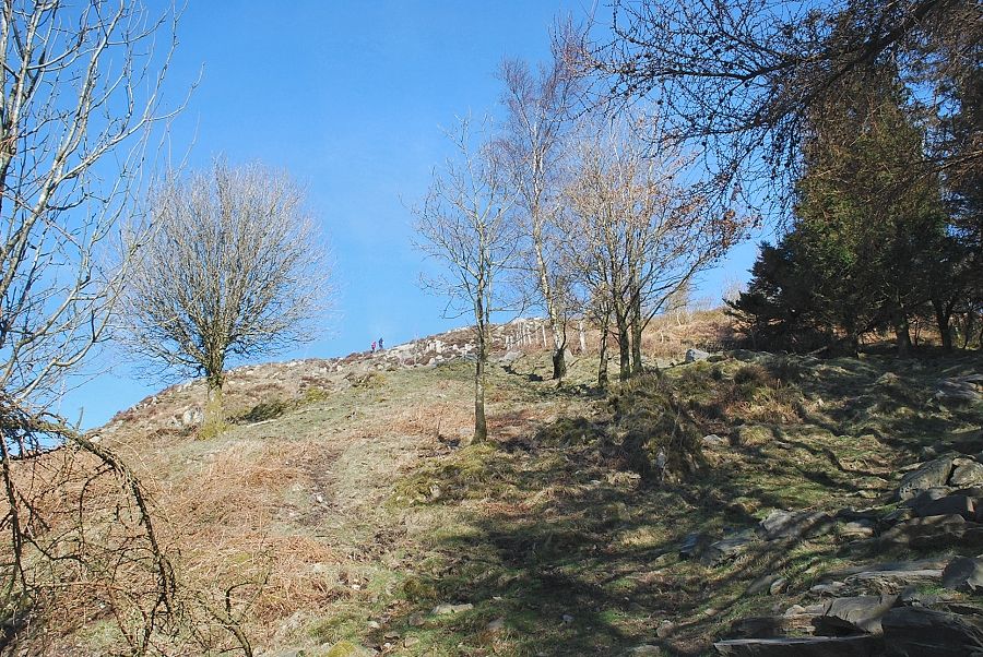
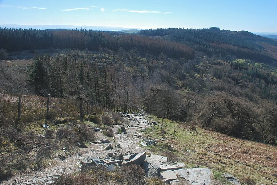
| On crossing a small stream the path begins to climb amongst the trees which cover the lower slopes of Gummer's How |
 |
| Looking back along the path through the trees on the lower slopes of Gummer's How |
 |
| The path emerges from the trees and continues to climb beside a fence |
 |
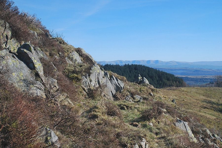
| Black Combe, Buck Barrow and Whit Fell on the horizon, viewed from the path alongside the fence |
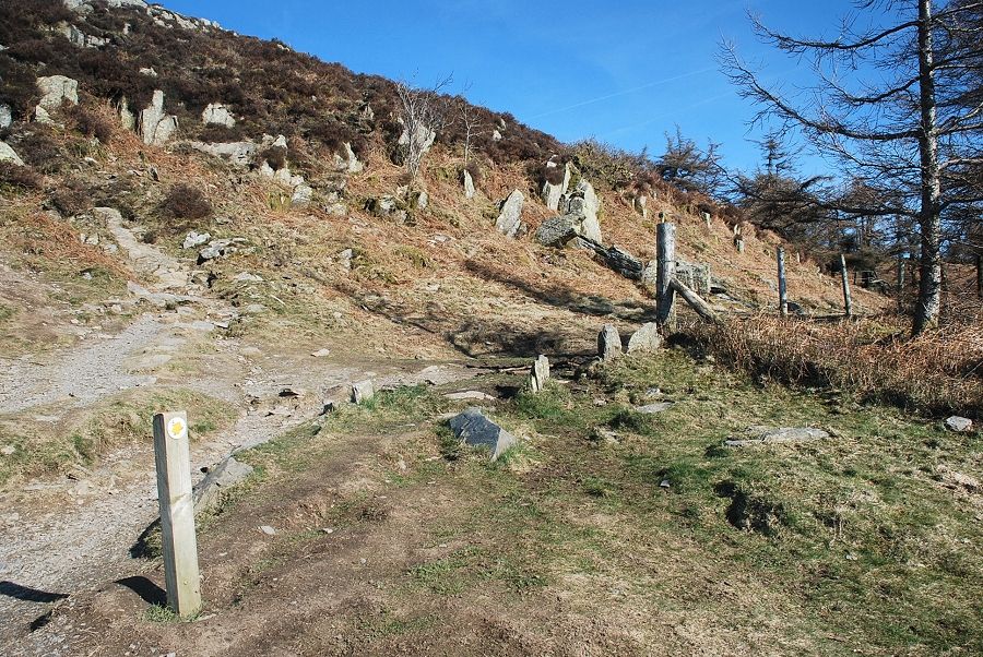 |
| At the top edge of the fence the path divides, a guidepost arrow indicates an easier path which approaches the summit from the east, although most walkers prefer to continue on the direct path up the steeper southern slope |
 |
| Lakeside from the guidepost |
 |
| Looking back from the guidepost |
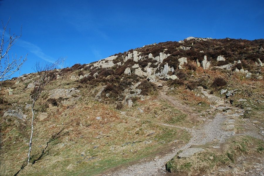 |
| Continuing on the direct path to the summit |
 |
| The Coniston fells from the direct path |
 |
| Looking down on Windermere from the direct path |
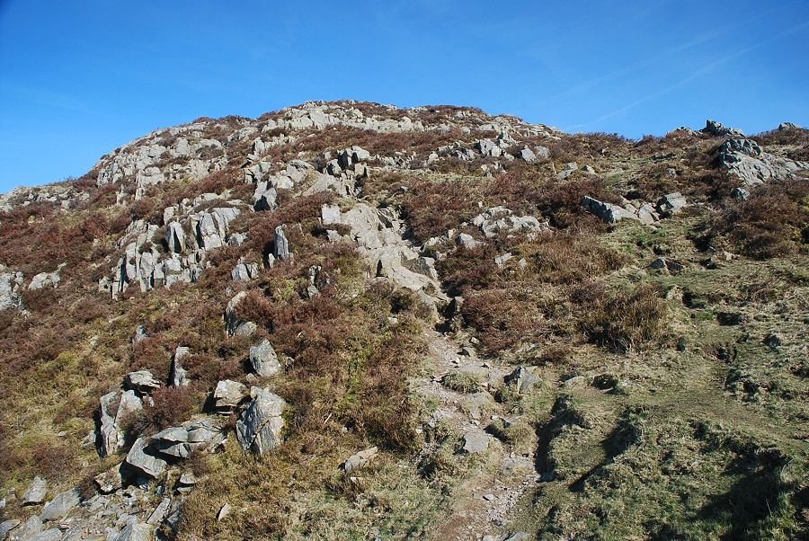 |
| The final slope leading to the summit |
 |
| Looking across to the Howgill fells |
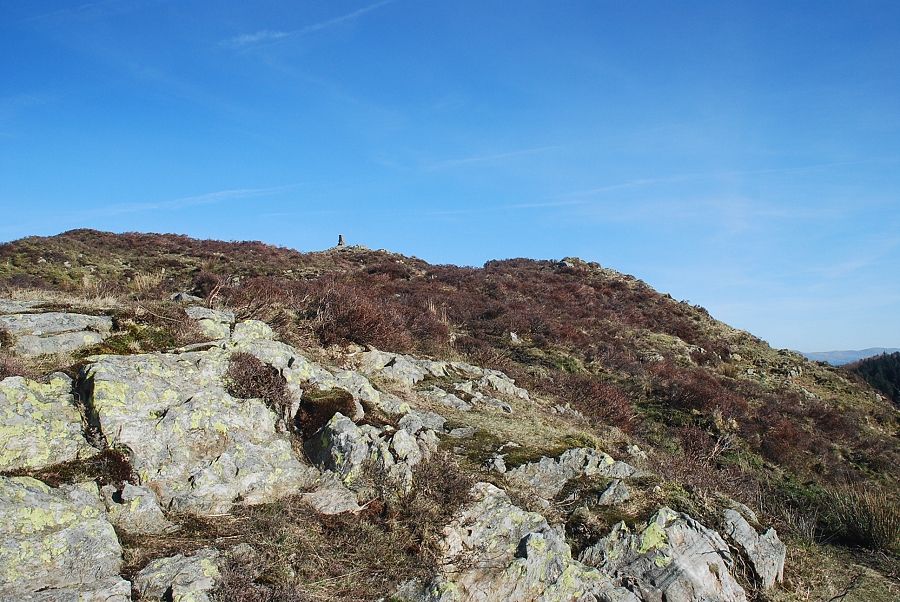 |
| The summit comes into view |
 |
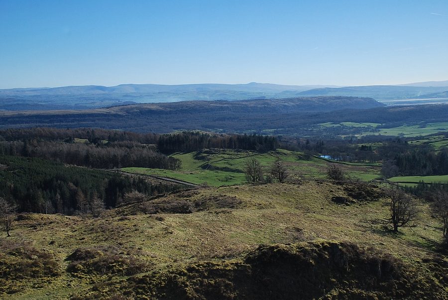
| Ingleborough above the long ridge of Whitbarrow |
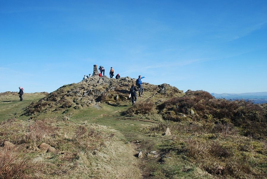 |
| Approaching the summit of Gummer's How |
 |
| The summit of Gummer's How looking west towards Black Combe |
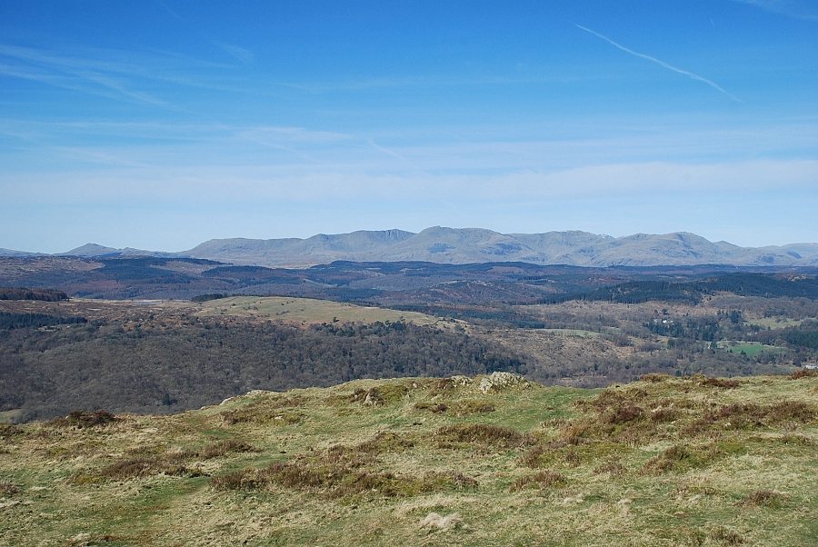 |
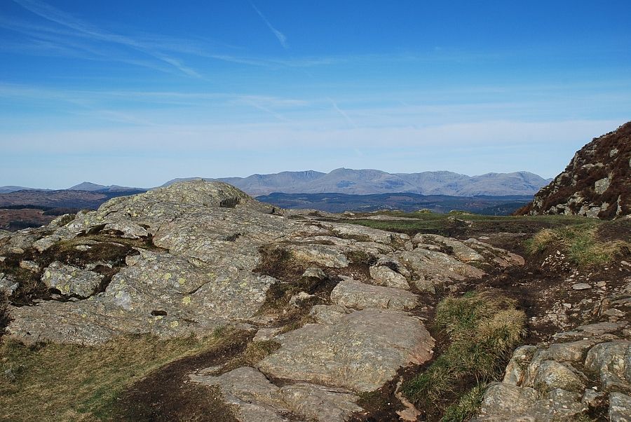
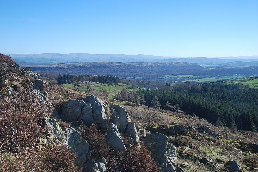
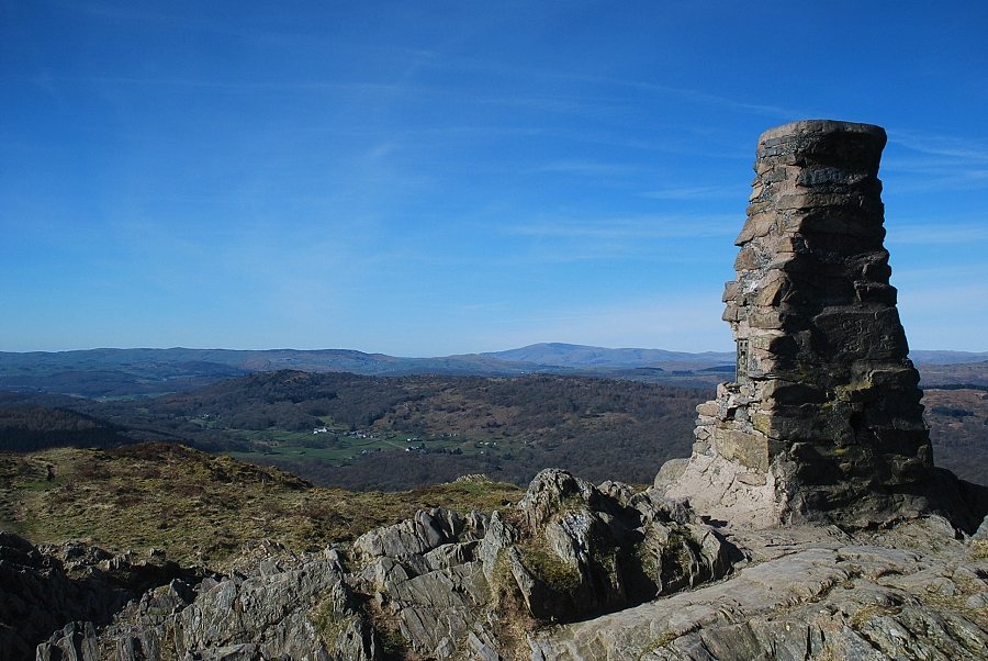
| The Coniston fells from the summit of Gummer's How. The best views of Windermere can be obtained from the rock outcrop in the foreground |
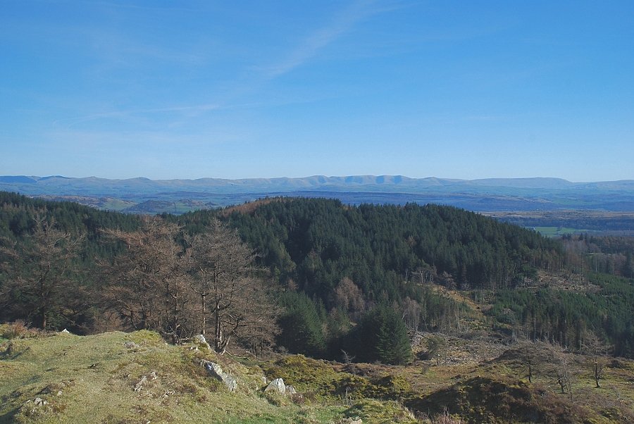 |
| The Howgill fells from the summit of Gummer's How |
 |
| Looking south east to Ingleborough on the horizon from the summit of Gummer's How |
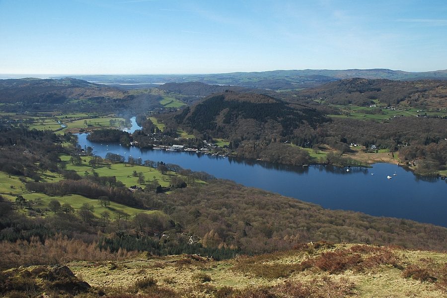 |
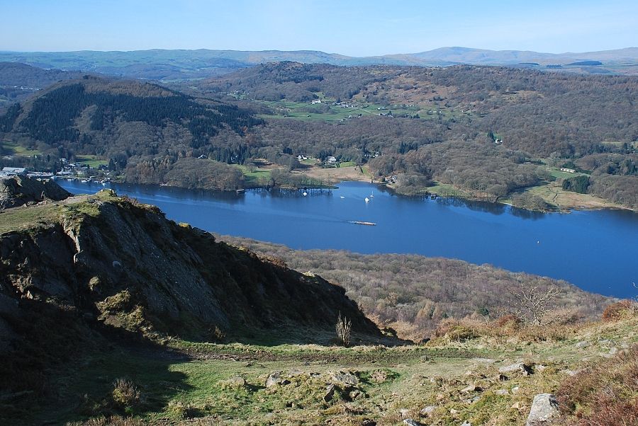
| Lakeside and the foot of Windermere from the north west slopes of Gummer's How |
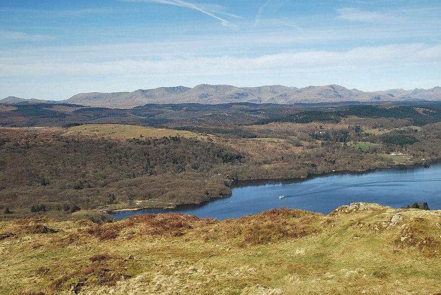 |
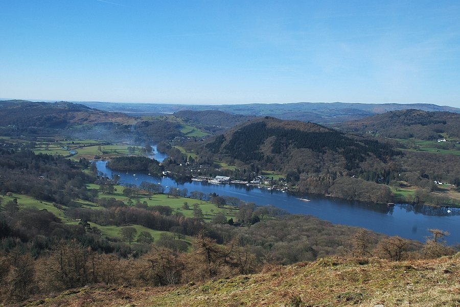
| The middle reaches of Windermere and the Coniston fells |
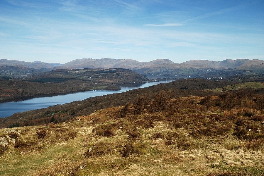 |
| The head of Windermere from the north western slopes of Gummer's How |
|