
| Hallin Fell - Route One |
| Start - Martindale Hause NY 435 191 | Distance - 0.5 mile | Ascent - 490 feet | Time - 25 minutes |
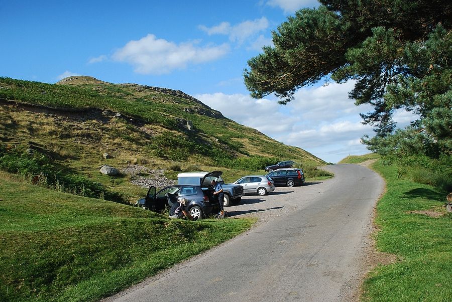 |
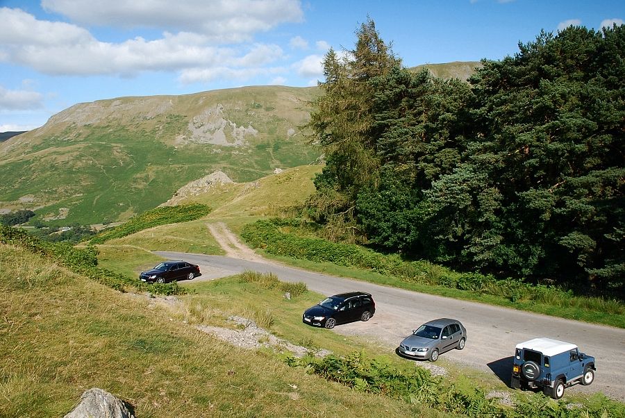
| The small car park on Martindale Hause above Howtown at the start of the walk |
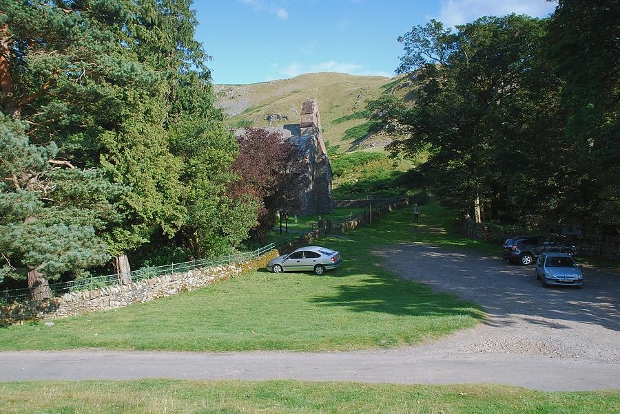 |
| Opposite the car park is St. Peter's Church |
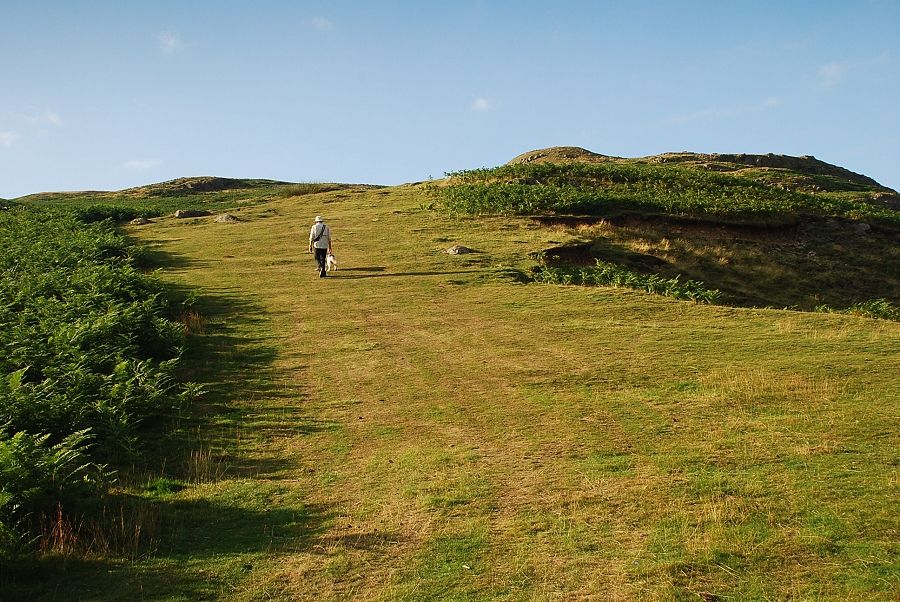 |
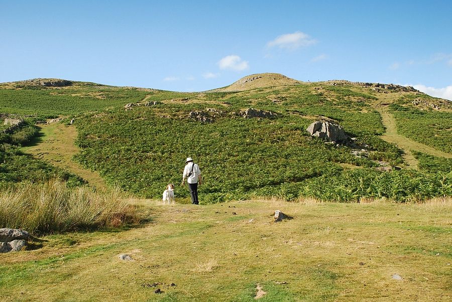
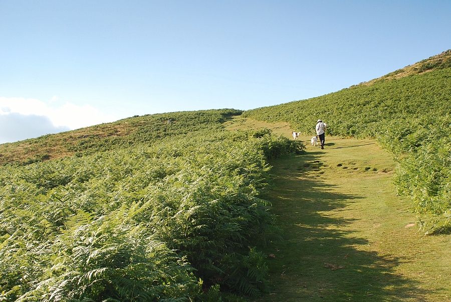
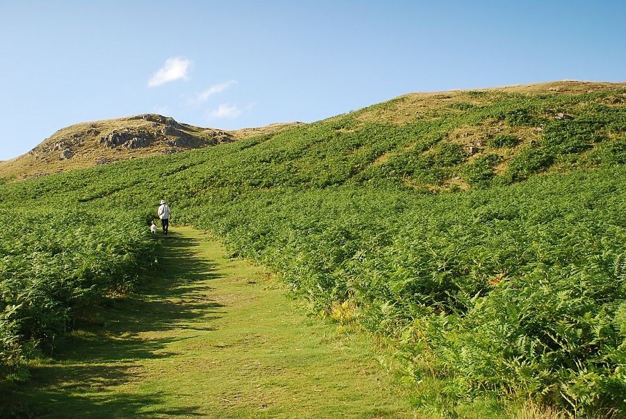
| The ascent starts immediately above the car park on a wide path that leads to a level shoulder |
 |
| Beda Fell from the start of the climb |
 |
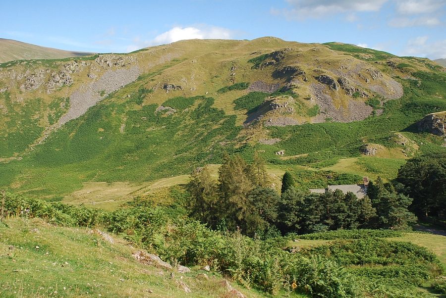
| Bonscale Pike from the start of the climb |
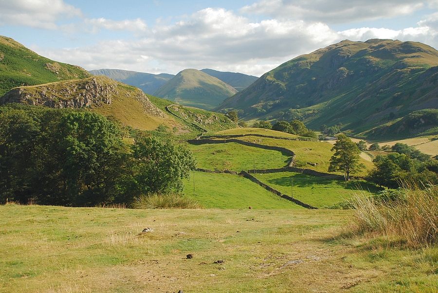 |
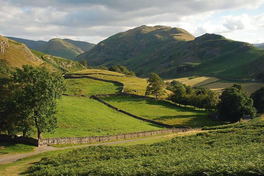
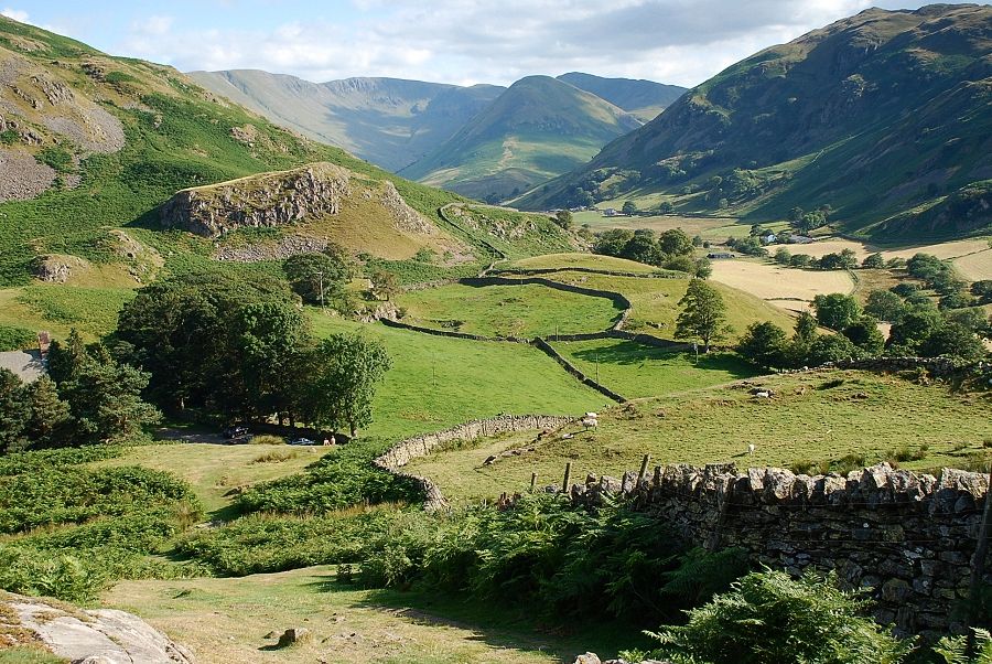
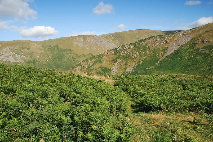
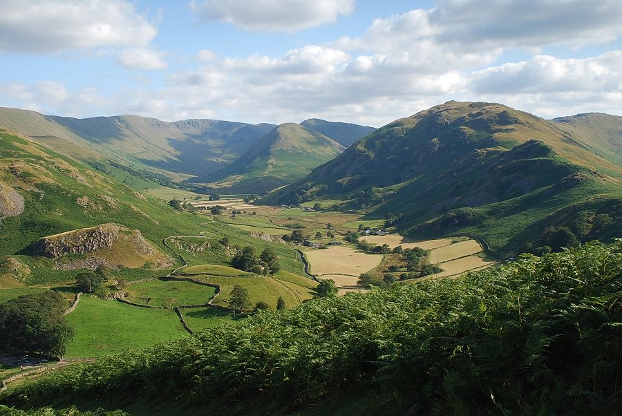
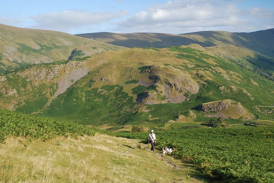
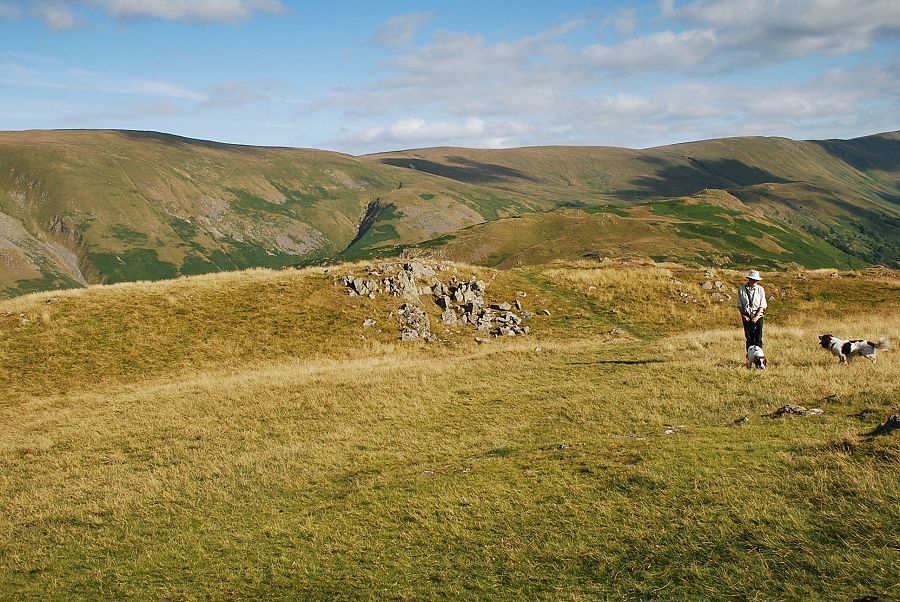
| Looking to Rampsgill Head, The Nab and Rest Dodd at the head of Martindale from the level shoulder above the car park |
 |
| Arthur's Pike and Bonscale Pike |
 |
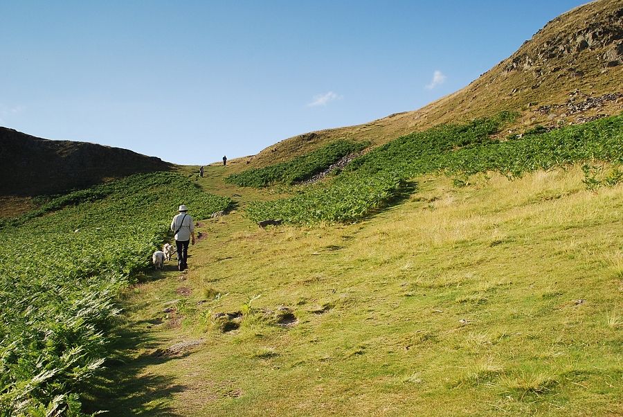
| There is choice of paths above the level shoulder, we follow the one on the left beside the wall |
 |
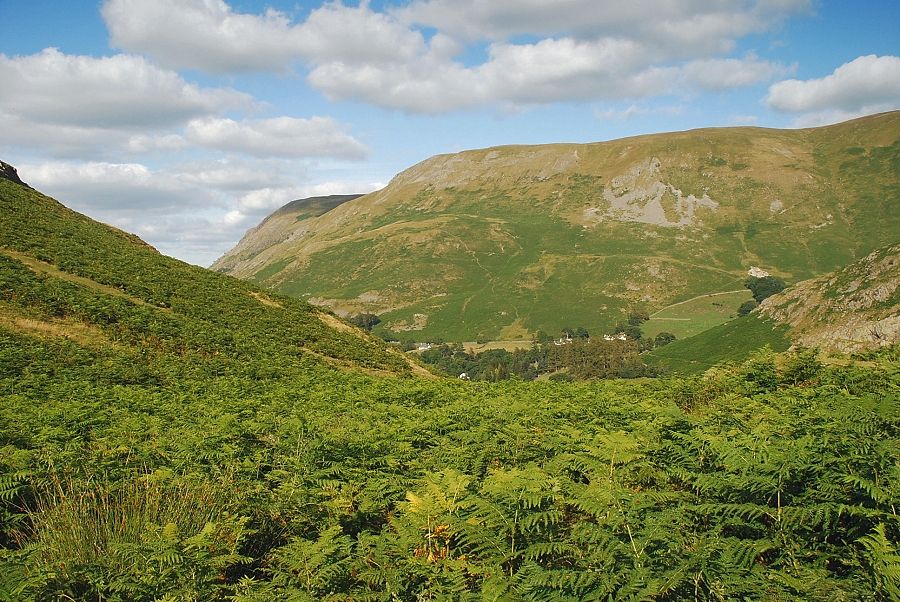
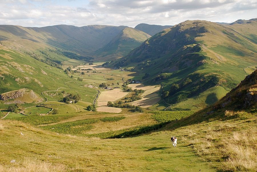
| Looking back from the path beside the wall, the view opens out over lower Martindale which is known as Howe Grain |
 |
| Looking back to Steel Knotts above St. Peter's church |
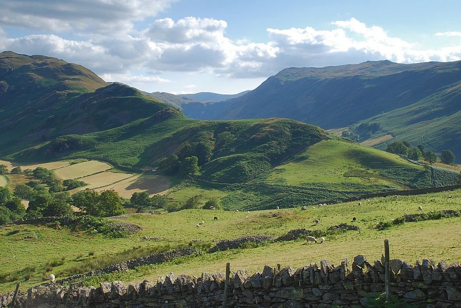 |
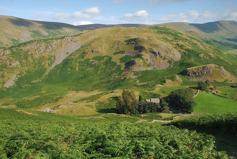
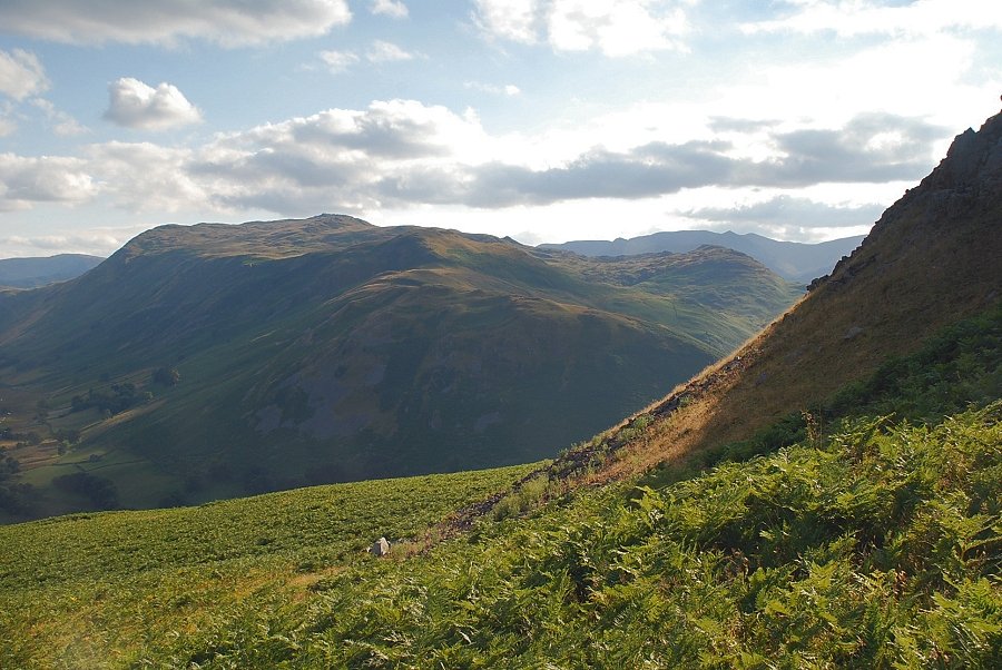
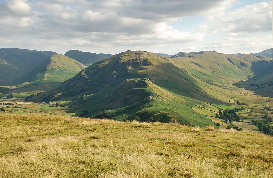
| The north ridge of Beda Fell with Place Fell on the right |
 |
| The path continues straight on past the uppermost corner of the wall |
 |
| The summit of Loadpot Hill above the north ridge of Steel Knotts |
 |
| Looking back to Martindale Hause and St. Peter's church |
 |
| Howe Grain from the path above the wall |
 |
| Place Fell from the path above the wall |
 |
| The path eventually begins to turn to the north towards a col on the summit ridge |
 |
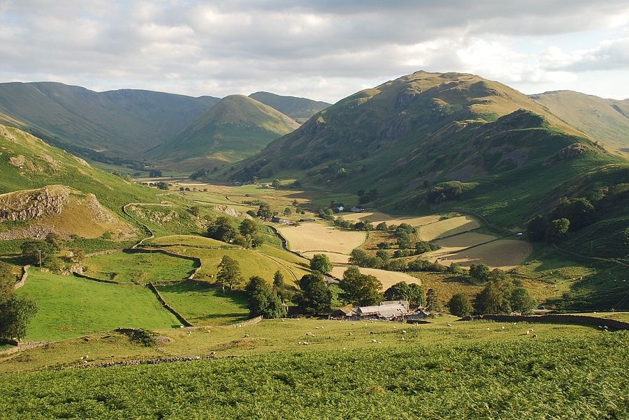
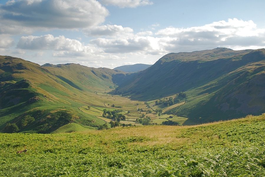
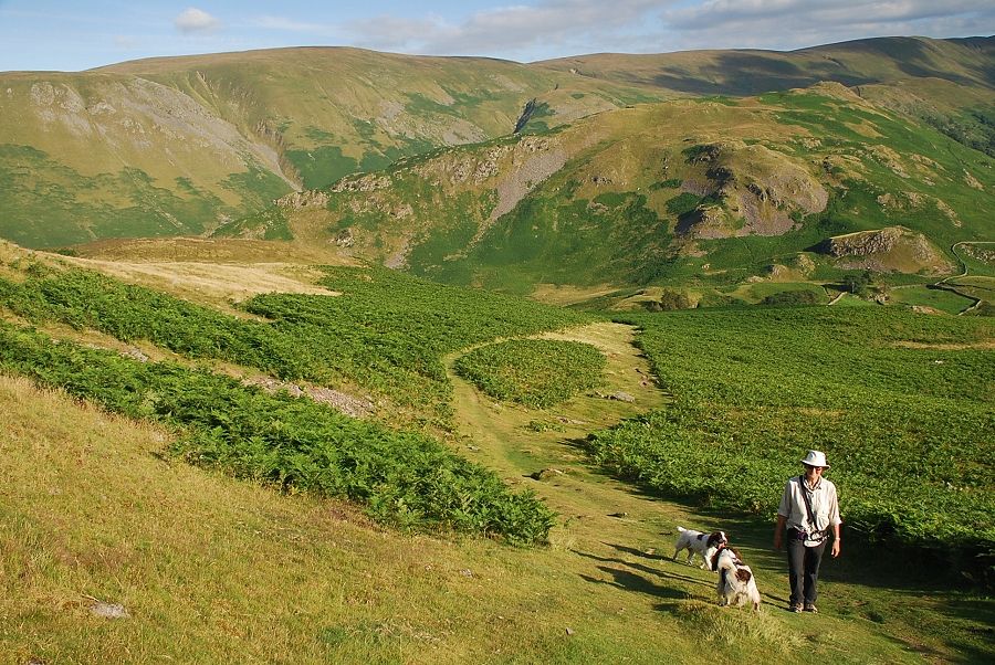
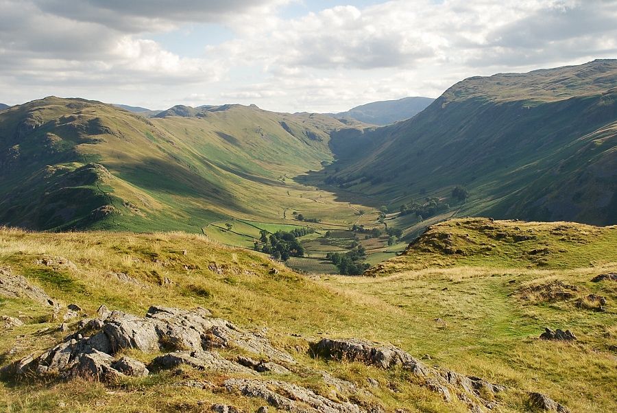
| High Raise, Rampsgill Head, The Nab and Rest Dodd at the head of Howe Grain |
 |
| Boredale with Dove Crag appearing over Boredale Hause |
 |
| Approaching the col below the summit ridge |
 |
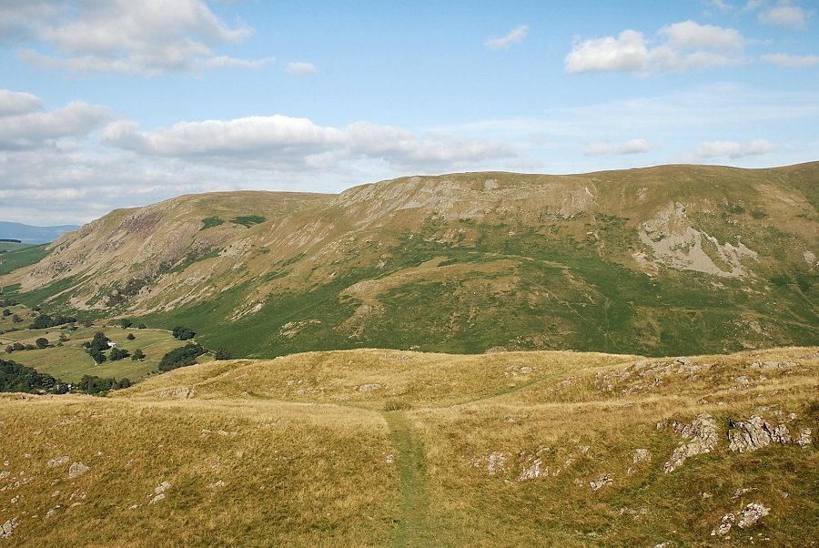
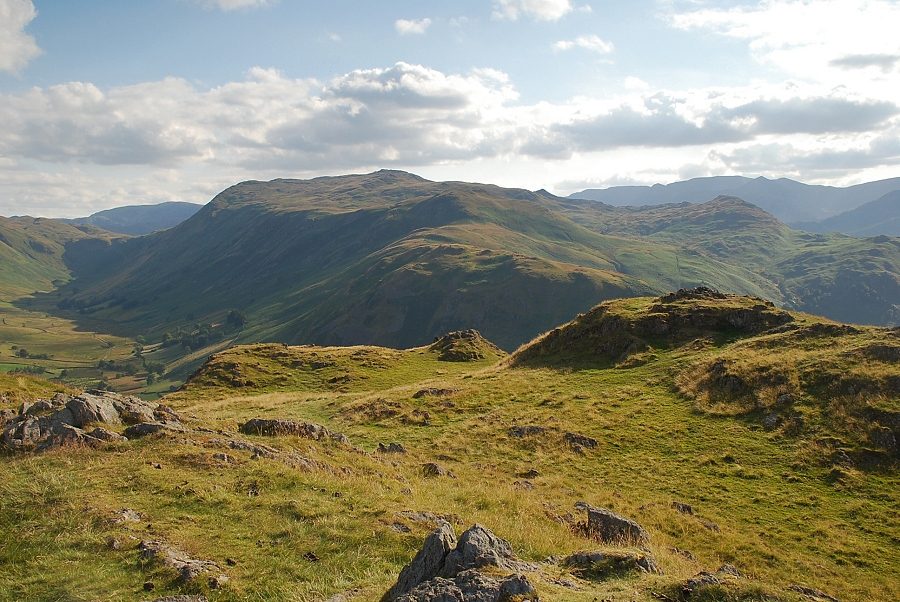
| Looking back on the approach to the col, Wether Hill and Red Crag on the skyline above Steel Knotts |
 |
| Helvellyn appears on the horizon above Birk Fell |
 |
| Looking back from just below the col |
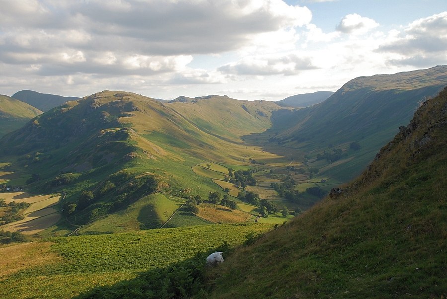 |
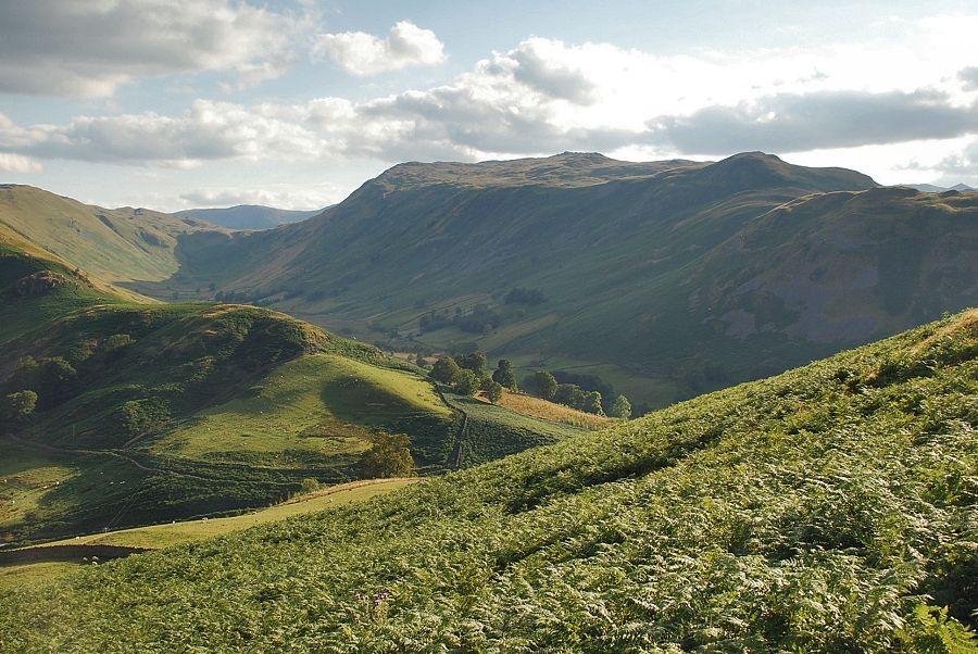
| Beda Fell and Boredale |
 |
| Howe Grain from the col |
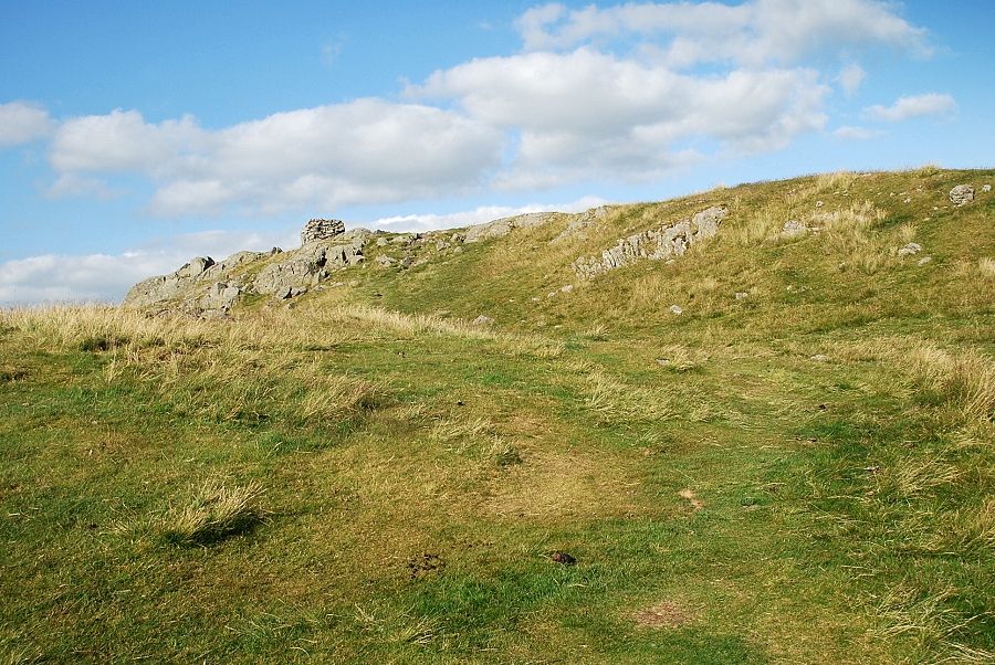 |
| The summit lies to the right of the col |
 |
| The summit of Hallin Fell |
 |
| Arthur's Pike and Bonscale Pike from the summit of Hallin Fell |
 |
| Loadpot Hill, Wether Hill and Red Crag from the summit of Hallin Fell |
 |
| Rampsgill Head, The Nab, Rest Dodd, Beda Fell and Angletarn Pikes |
 |
| Boredale from the summit of Hallin Fell |
 |
| Place Fell from the summit of Hallin Fell |
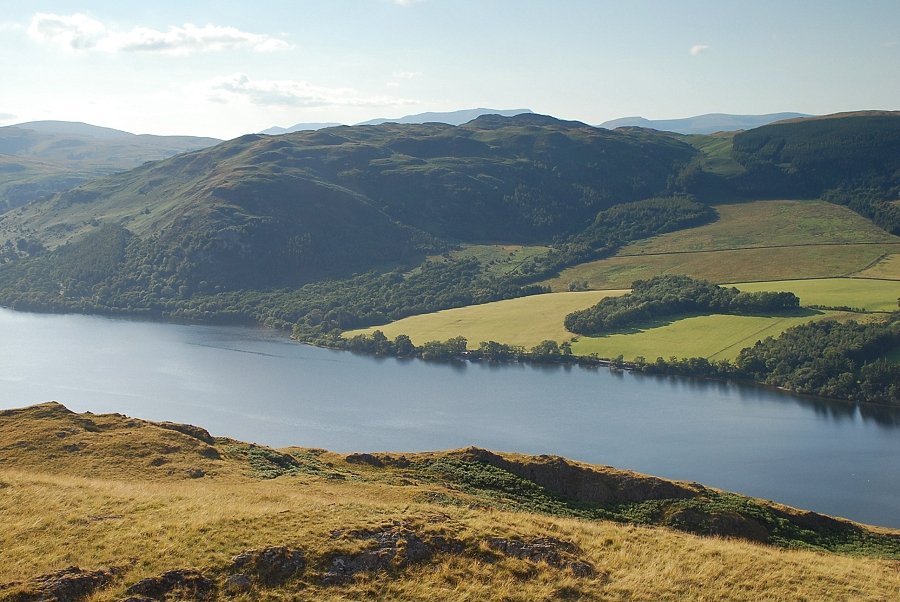 |
| Gowbarow Fell across Ullswater |
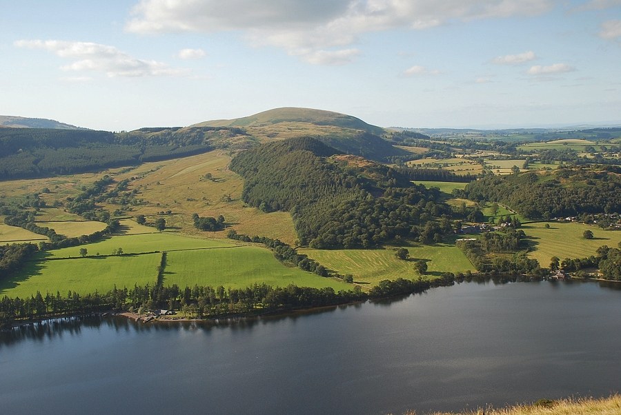 |
| Swinburn's Park and Little Mell Fell across Ullswater |
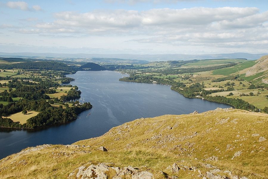 |
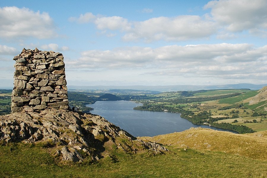
| The lower reaches of Ullswater from the summit of Hallin Fell |
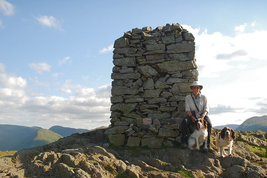 |
| The imposing summit cairn, of which AW wrote " The man who built the summit cairn on Hallin Fell did more than indicate the highest point : he erected for himself a permanent memorial. " It was originally 12 foot high but over the years it appears to have suffered some damage. There used to be two inscribed sandstone plaques set into the cairn one above the other, one is still in place and can be seen high up in the centre of this, the northern side of the cairn, it has the letter B and the date 1864 chiselled on its smooth face. The upper plaque, which has been dislodged and can be seen lying damaged on the seat, is inscribed ... IW.SP 19, perhaps a clue to the original builder of the cairn ! |
|