
| Hampsfell - Route One |
| Start - Grange Fell Road SD 395 778 | Distance - 1 mile | Ascent - 390 feet | Time - 35 minutes |
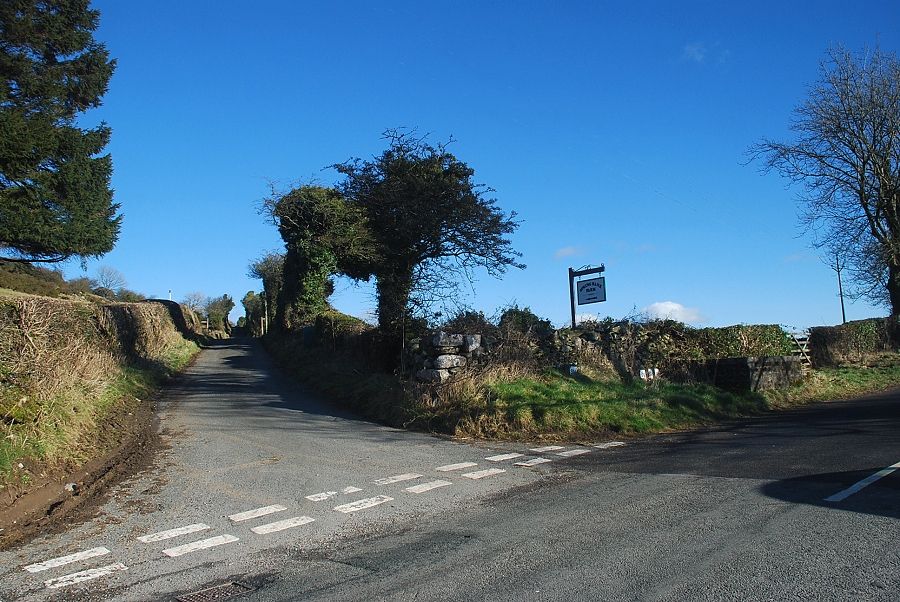 |
| The junction of Spring Bank Road and Grange Fell Road between Cartmel and Grange-over-Sands is the starting point for this walk. There is some lay-by parking opposite the junction |
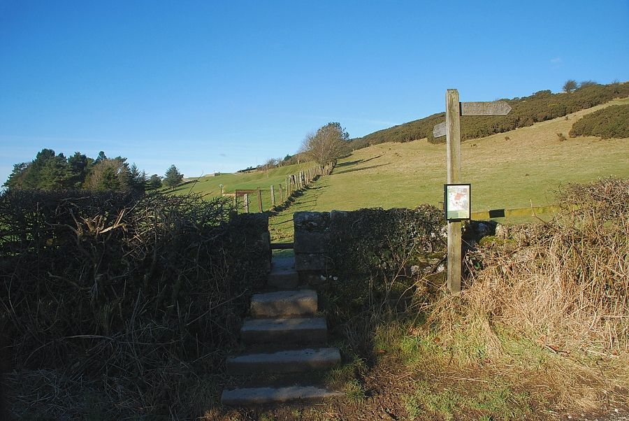 |
| A hundred yards along from the junction is a stile giving access to the open slopes of Fell End |
 |
| There is a choice of paths leading on from the stile. The paths leading to the left and right are public rights of way but it is more usual to go straight ahead uphill to the summit of Fell End |
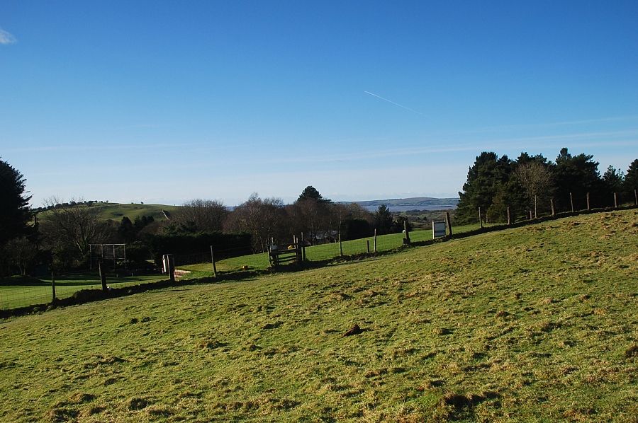 |
| To the left of the path is the nine hole course of Grange Fell Golf Club |
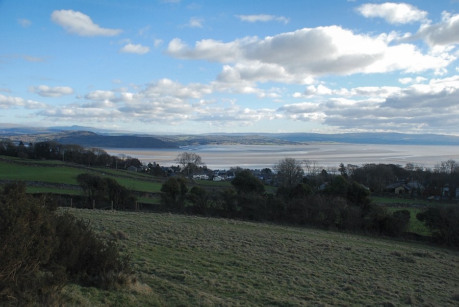 |
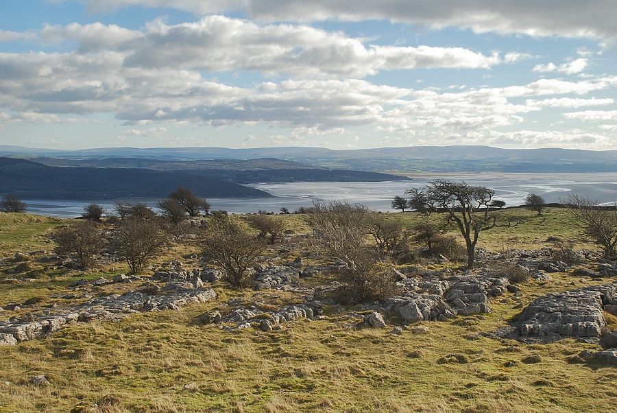
| Morecambe Bay from the lower slopes of Fell End |
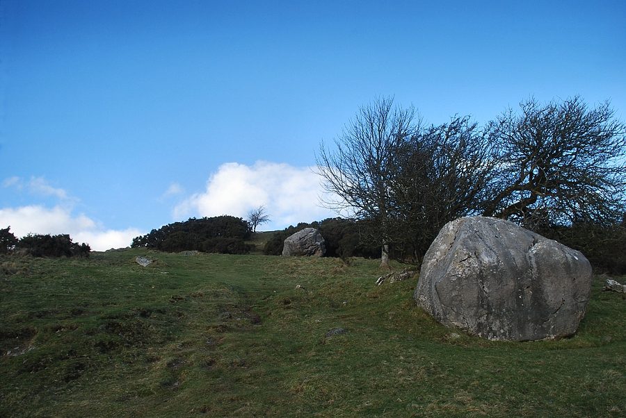 |
| The path passes through an area of gorse and hawthorn bushes on the short climb to the summit of Fell End. This section is the only steep part of the entire walk |
 |
| Looking over to Arnside Knott and Ingleborough from the climb to the summit of Fell End |
 |
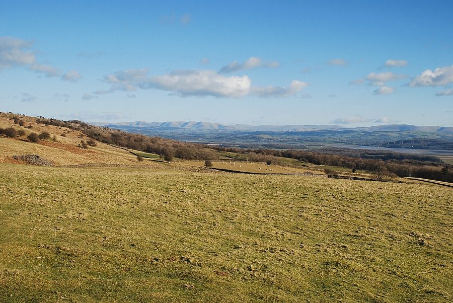
| Looking over to the Furness peninsula |
 |
| Looking across to the Howgills |
 |
| The Kent Estuary and Arnside Knott with the distictive peak of Ingleborough on the horizon |
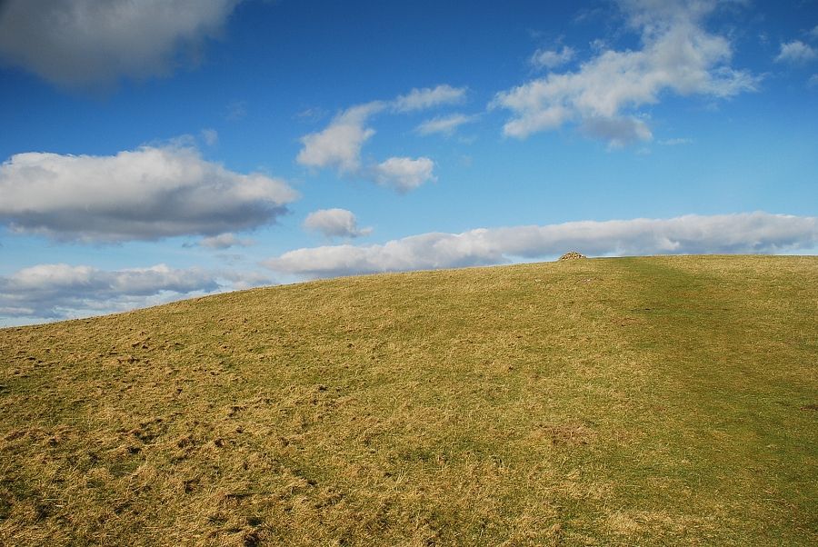 |
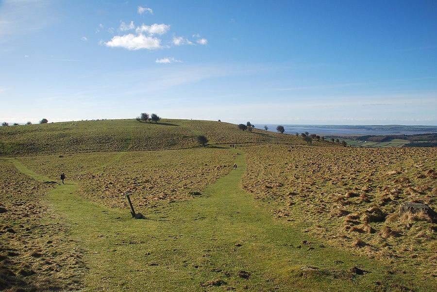
| The summit of Fell End comes into view |
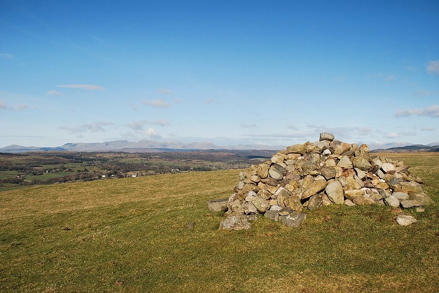 |
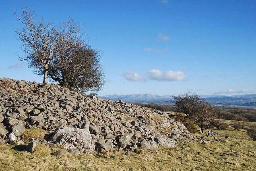
| The beacon cairn on Fell End |
 |
| The Howgills from the summit of Fell End |
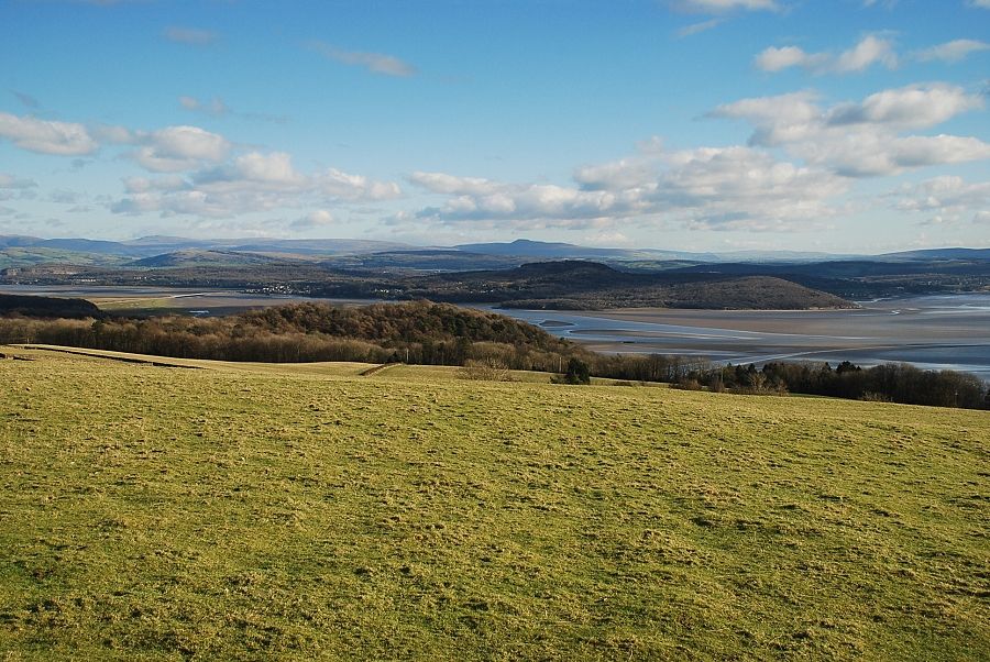 |
| Arnside Knott over the Kent Estuary with Whernside and Ingleborough on the horizon |
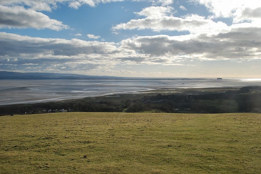 |
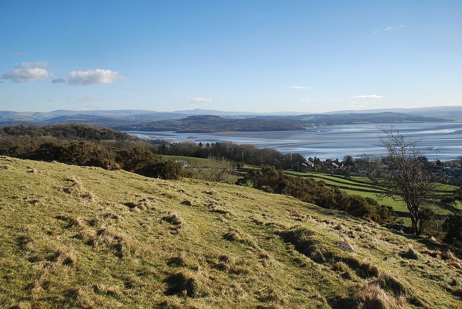
| Morecambe Bay from the summit of Fell End |
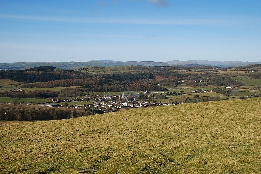 |
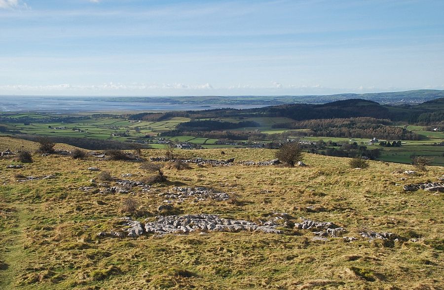
| Cartmel from the summit of Fell End |
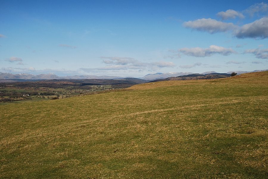 |
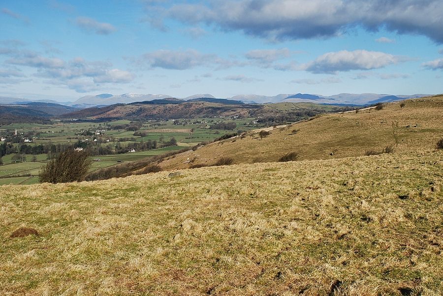
| Looking north from Fell End. The Coniston fells are on the left with Helvellyn and Fairfield on the centre right |
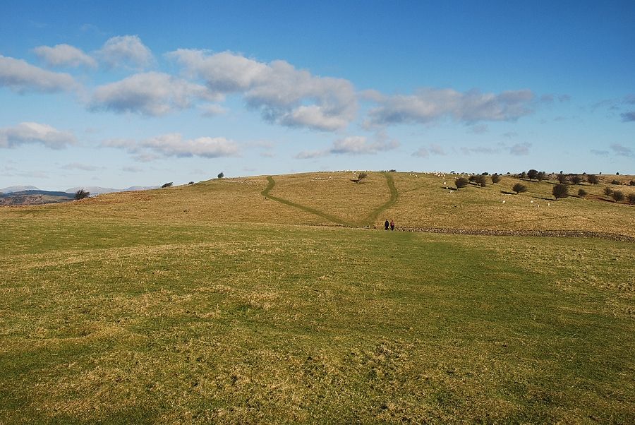 |
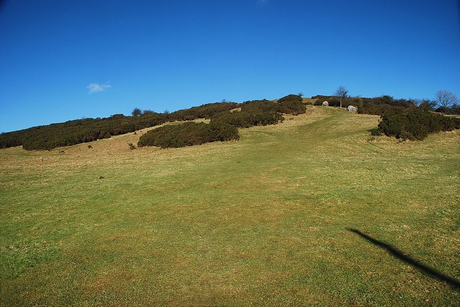
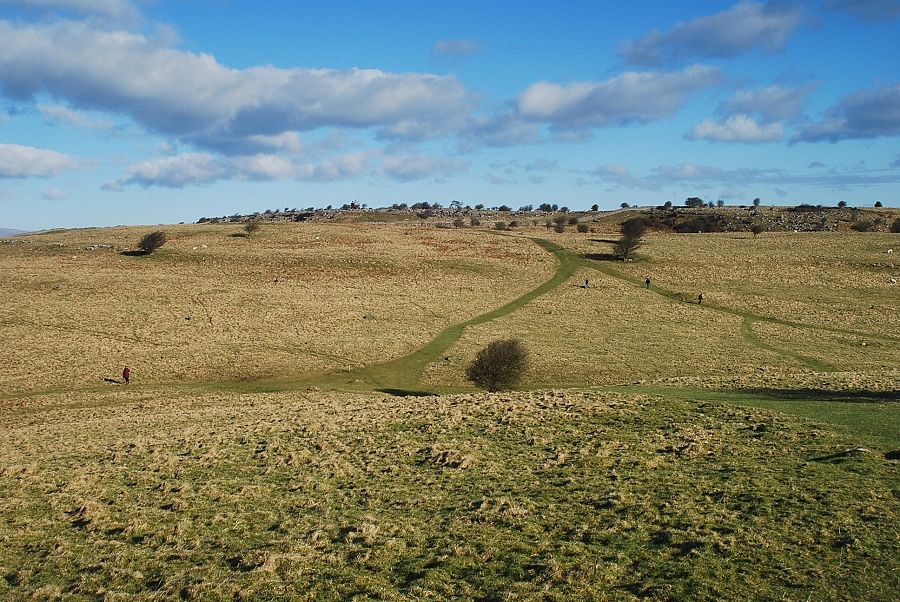
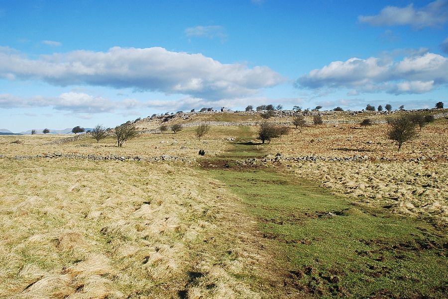
| The way ahead from the summit of Fell End is merely a simple walk over the gentle undulating summit ridge towards the top of Hampsfell |
 |
| The path dips to a shallow depression before rising again to an unnamed top which has a spot height of 203m. It doesn't matter which path is taken beyond the wall, they both meet up again at the next depression |
 |
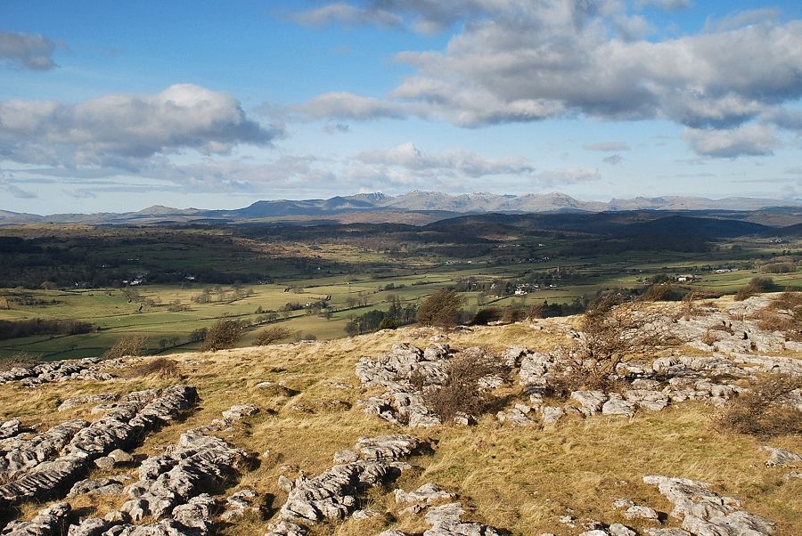
| Ingleborough from Point 203 |
 |
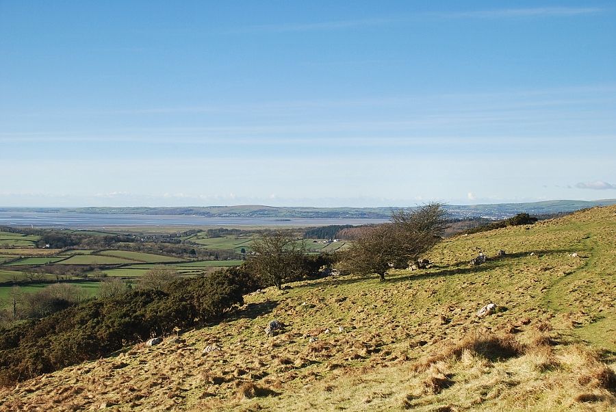
| Looking north across the upper Cartmel Valley from Point 203 |
 |
| The summit of Hampsfell from Point 203. The path descends to another depression which is crossed by the Cistercian Way, a long distance path between Grange-over-Sands and Roa Island on the Furness peninsula |
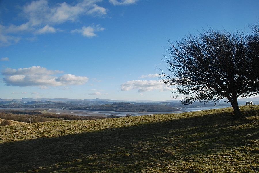 |
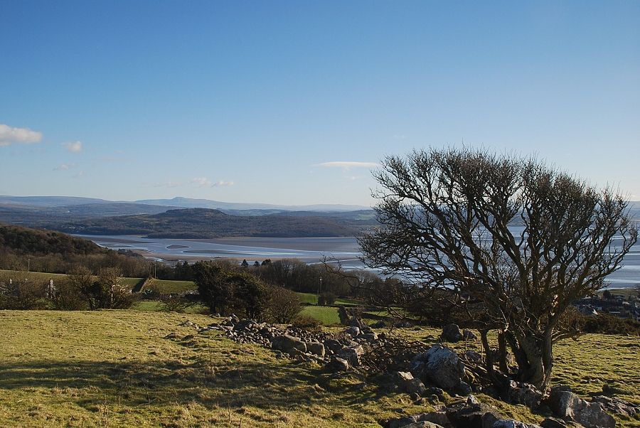
| The Kent Estuary from the descent from Point 203 |
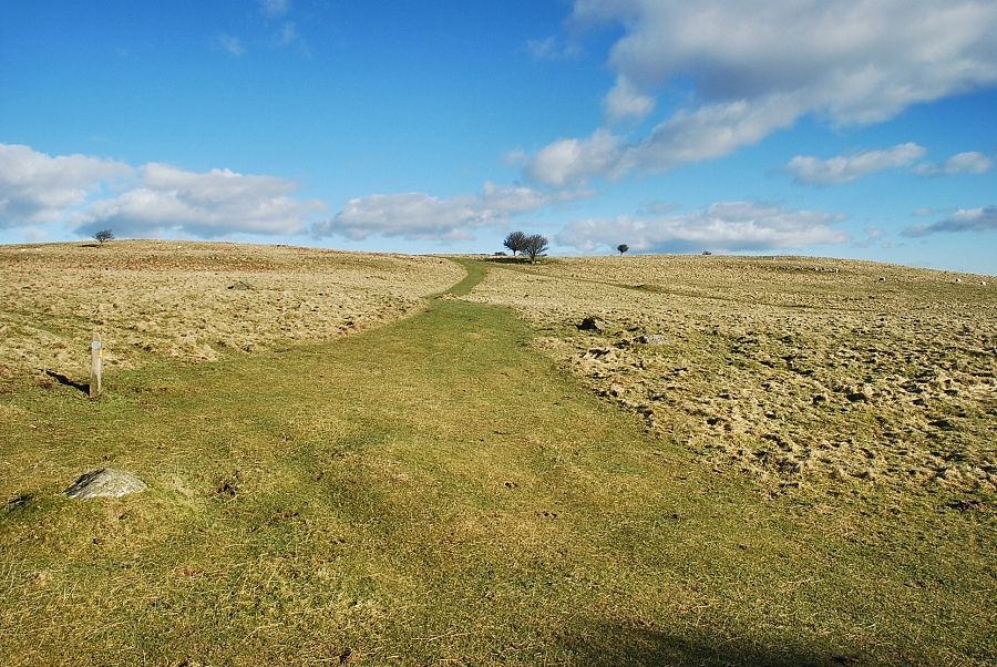 |
| Joining the Cistercian Way path which leads directly to the summit of Hampsfell |
 |
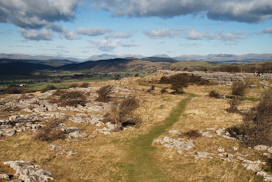
| Looking back to Point 203 from the Cistercian Way |
 |
| Approaching the summit of Hampsfell |
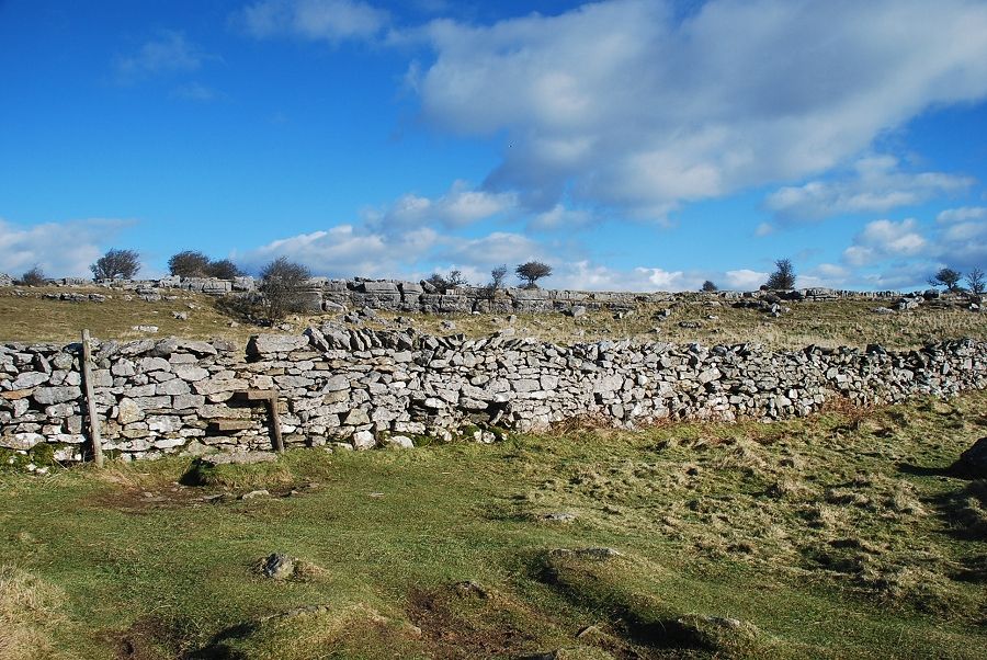 |
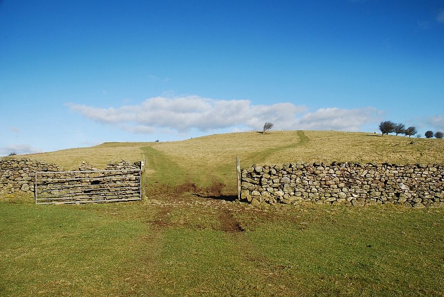
| The stone stile below the summit |
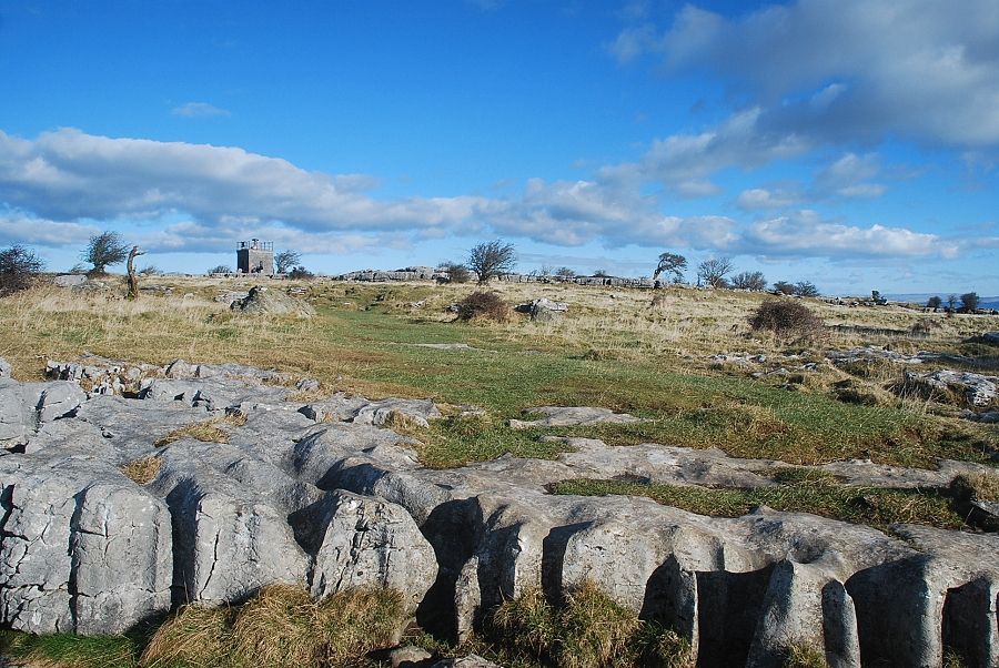 |
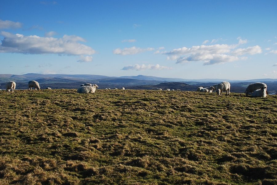
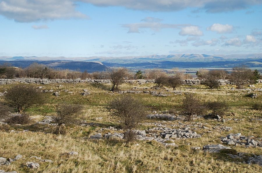
| The summit of Hampsfell is surrounded by several areas of limestone pavement, the best and most extensive ones lie to the north of the hospice |
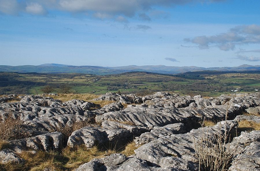 |
| Black Combe, Buck Barrow, Whit Fell and Caw from one of the limestone pavements |
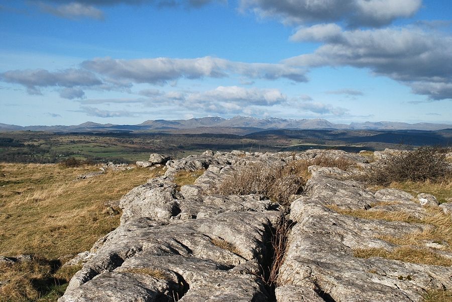 |
| The Coniston fells |
 |
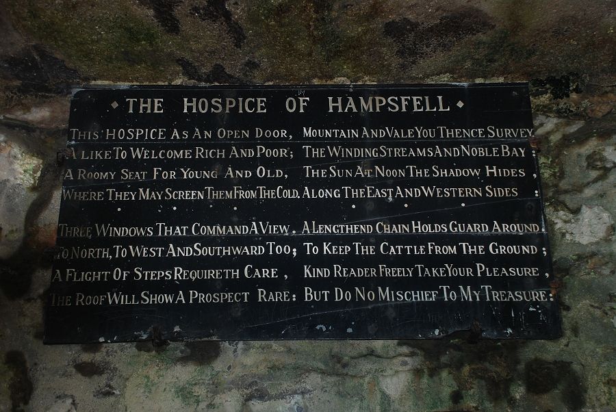
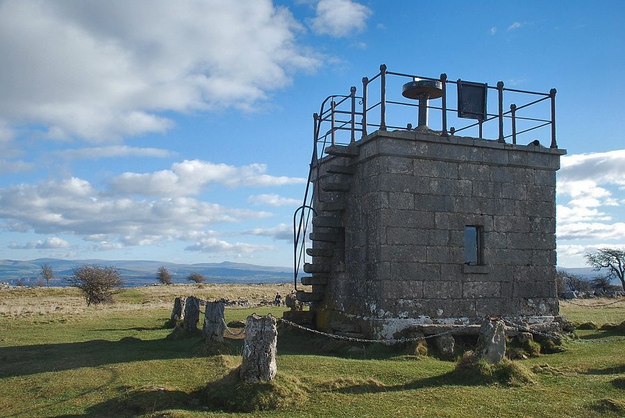
| Hampsfell Hospice |
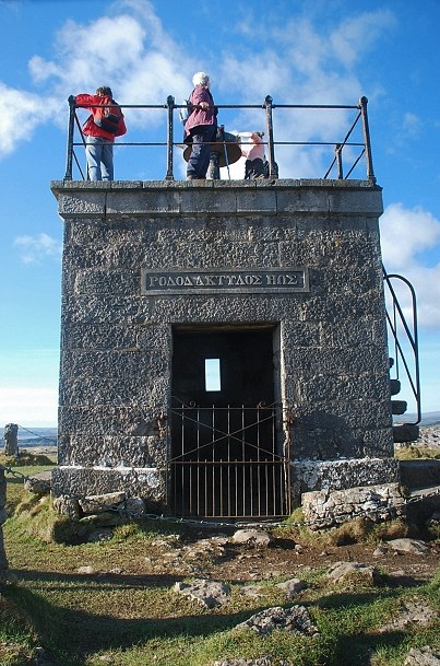 |
| The hospice was built in 1846 at the behest of the vicar of Cartmel as a shelter for travellers. The interior is provided with stone seats and a fireplace |
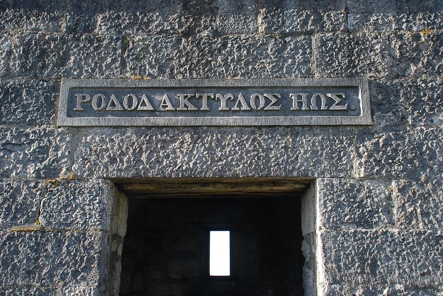 |
| The Greek inscription on the east wall above the entrance translates as 'rosy-fingered dawn', a phrase often used by Homer when referring to Eos the Titaness, goddess of dawn. According to Greek mythology, Eos's task was to open the gates of Heaven each morning to allow the sun to rise |
 |
| Inside the shelter painted panels are fixed high on the four walls, this one is on the western side opposite the door |
 |
|
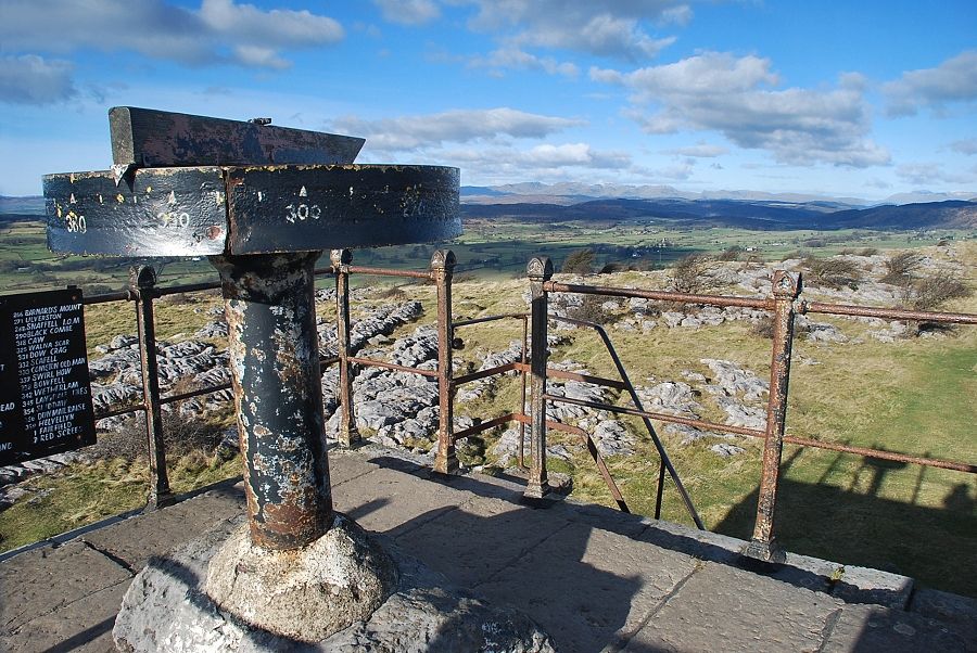
Projecting stone steps on the north wall lead up to the rooftop which serves as a viewing platform |
 |
|
On the roof there is a simple alidade with its table marked off with compass bearings around the edge of the circumference |
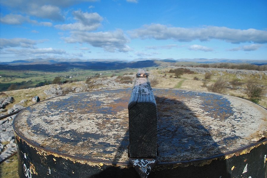 |
| The alidade set at 360 degrees, looking towards Helvellyn |
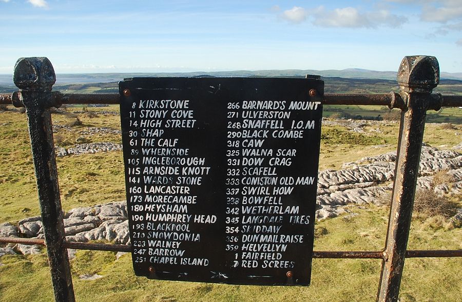 |
| A board by the side of table confirms what you are looking at |
 |
| The Howgills from the roof of Hampsfell Hospice |
 |
| Whernside and Ingleborough |
 |
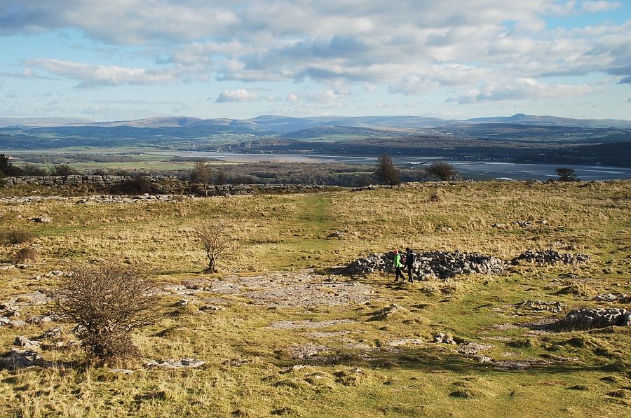
| Morecambe Bay |
 |
| Cartmel and the Furness peninsula |
 |
| The Coniston fells |
 |
| Looking north to Helvellyn, Fairfield, Red Screes in the centre, with the Far Eastern Fells of Caudale Moor, High Street, and Harter Fell on the right |
|