 |
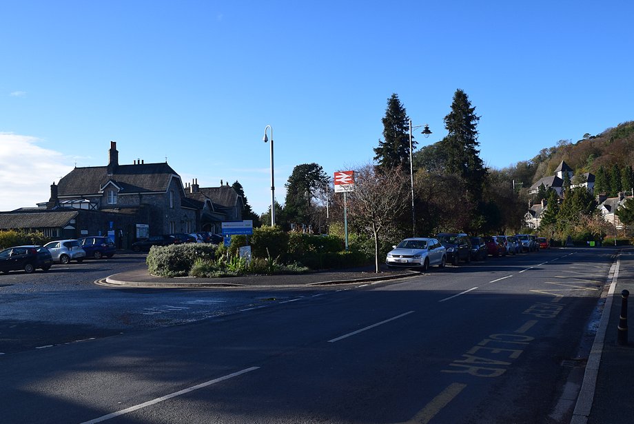
| Grange-over-Sands railway station is the starting point for this walk. There are some free and unrestricted parking bays on the road beside the station |
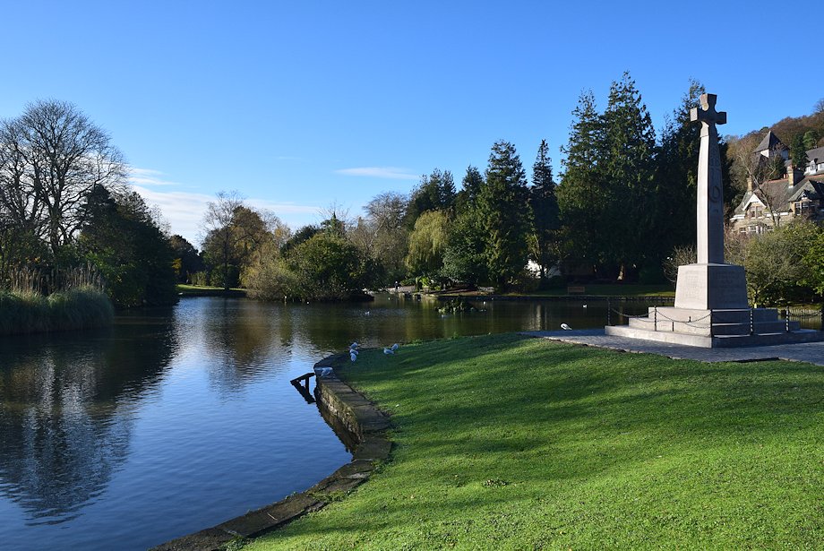 |
| Located beside the railway station, the Ornamental Gardens are well worth a visit |
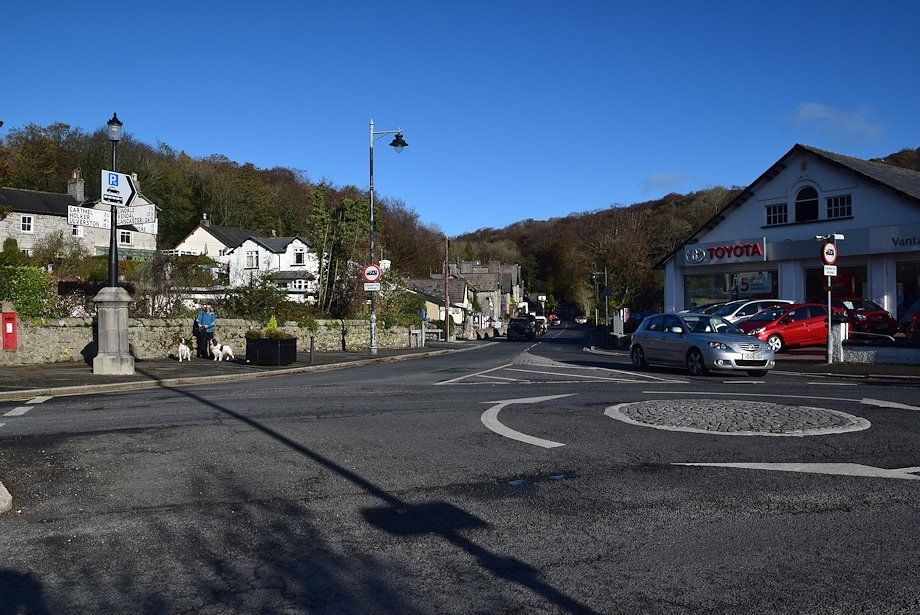 |
| From the mini roundabout opposite the Ornamental Gardens the walk continues along Windermere Road |
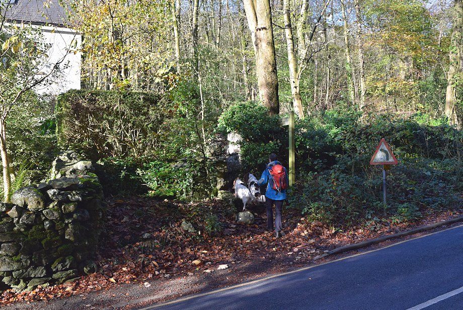 |
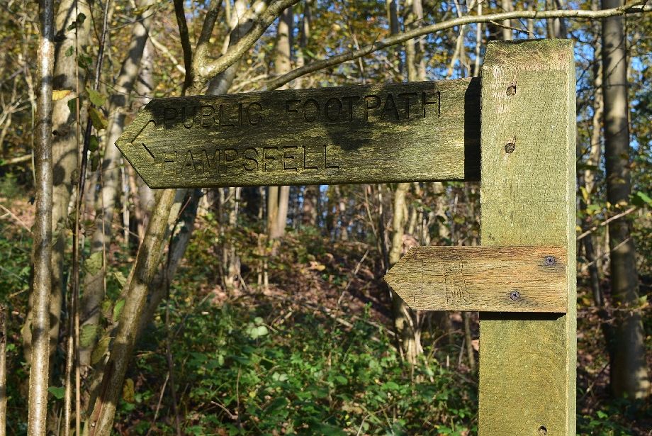
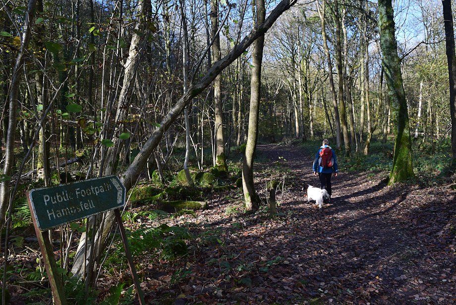
| In a little over 350 yards from the roundabout there is stile and fingerpost, signed for Routen Well and Hampsfield. There is some more free and unrestricted parking 100 yards further along the road on a wide verge |
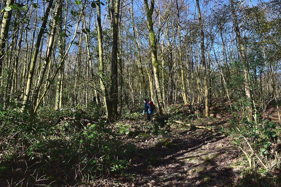 |
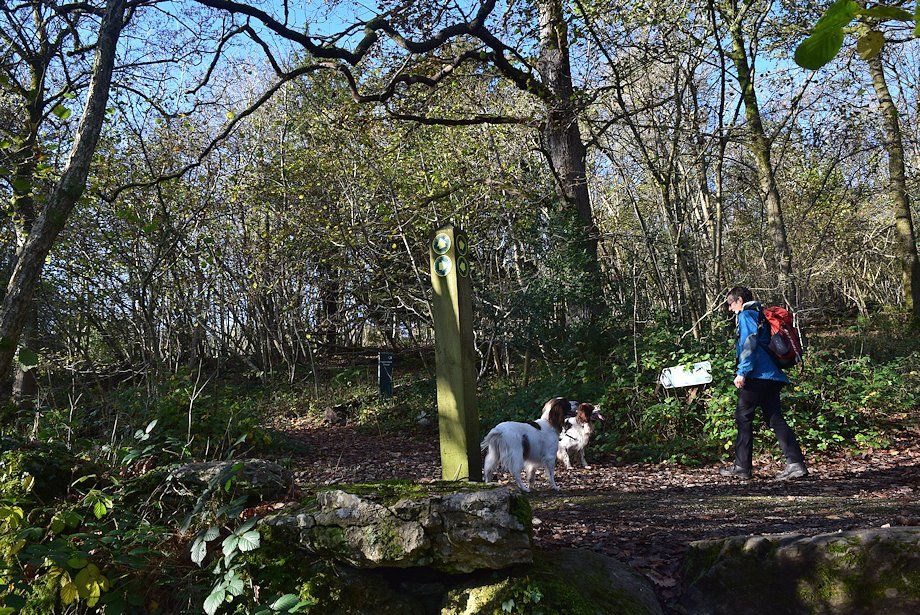
| A clear path climbs quite steeply through the woodland |
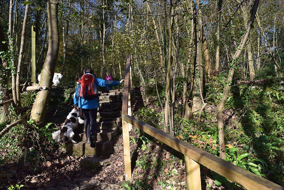 |
| After a short distance the path mounts a set of steps to cross a private drive |
 |
| Directly opposite the steps a signpost finger points the way to Hampsfell. The smaller finger, depicting a monk with a walking staff, indicates that this is also part of The Cistercian Way, a long distance path between Grange-over-Sands and Barrow-in-Furness |
 |
| The path rises more gently to meet another private drive |
 |
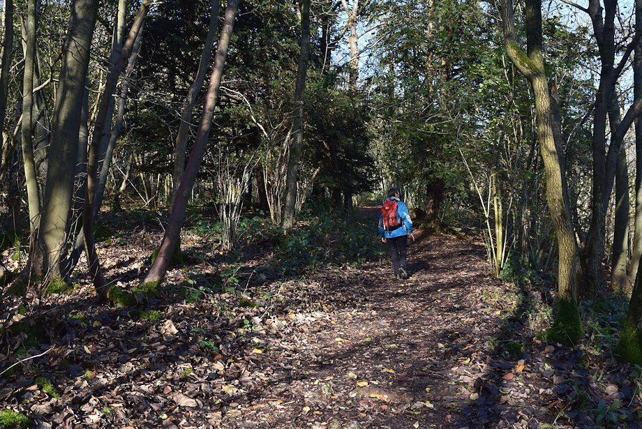
| This drive is crossed diagonally right to left and the path continues through Eggerslack Wood |
 |
| Eggerslack Wood is criss-crossed by a number of paths but the way ahead is never in doubt ! |
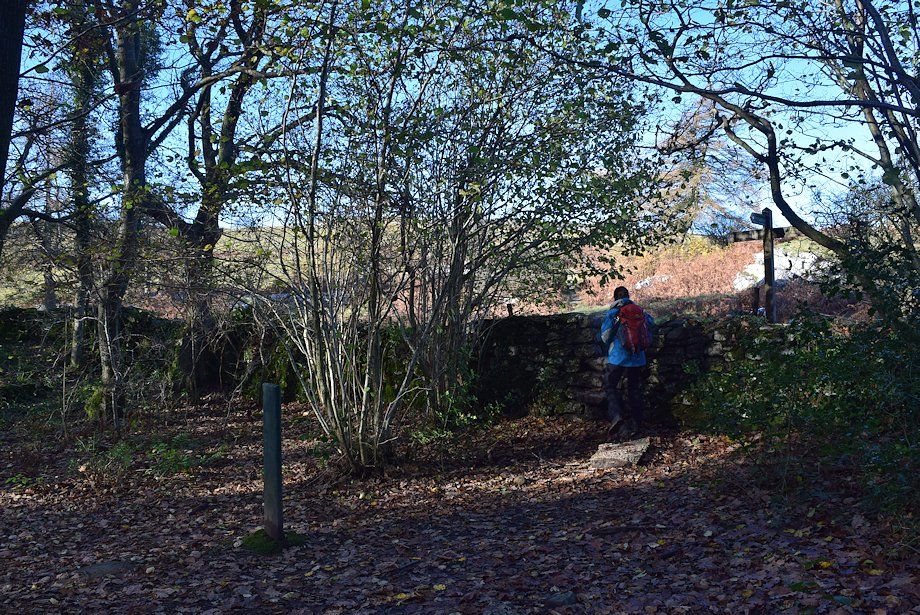 |
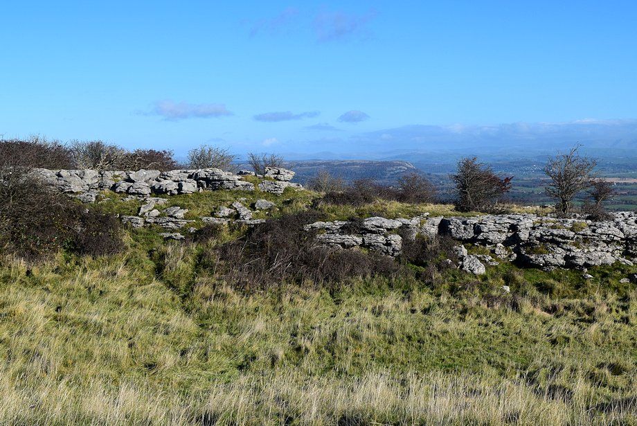
| Eventually the path exits Eggerslack Wood by a stone stepped stile in a wall from where there is a choice of paths to reach the summit of the fell |
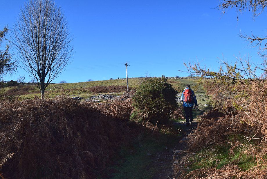 |
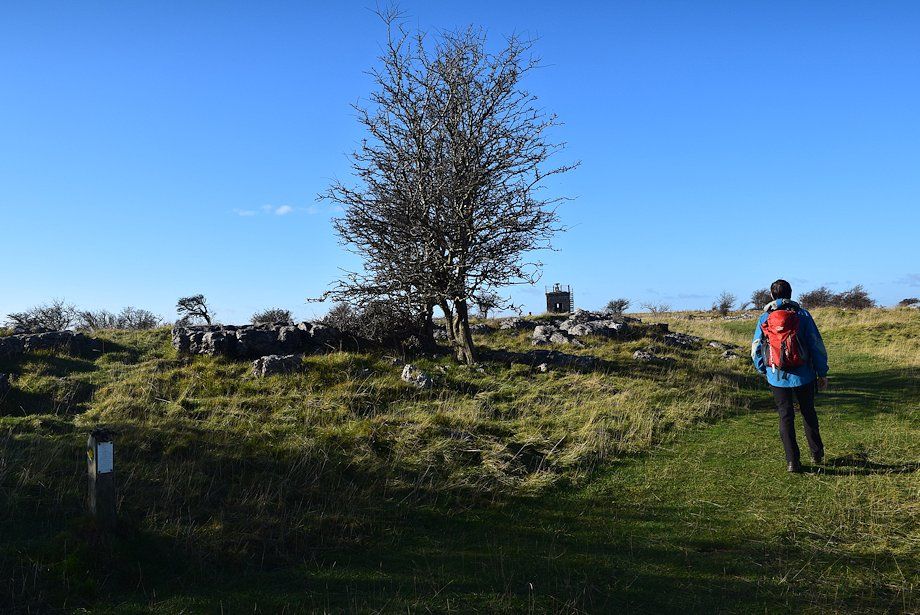
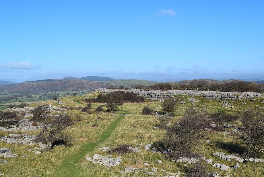
| The most direct and clearest path to the summit continues straight ahead from the stile, climbing steadily across the large enclosure of Bishop's Allotment before levelling out as it approaches a stile in the enclosure's southern wall |
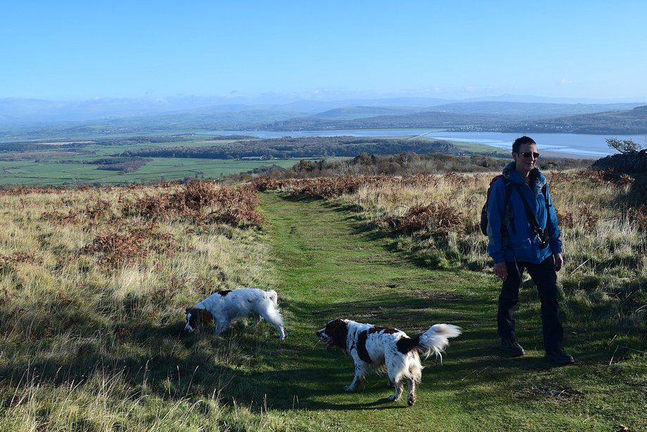 |
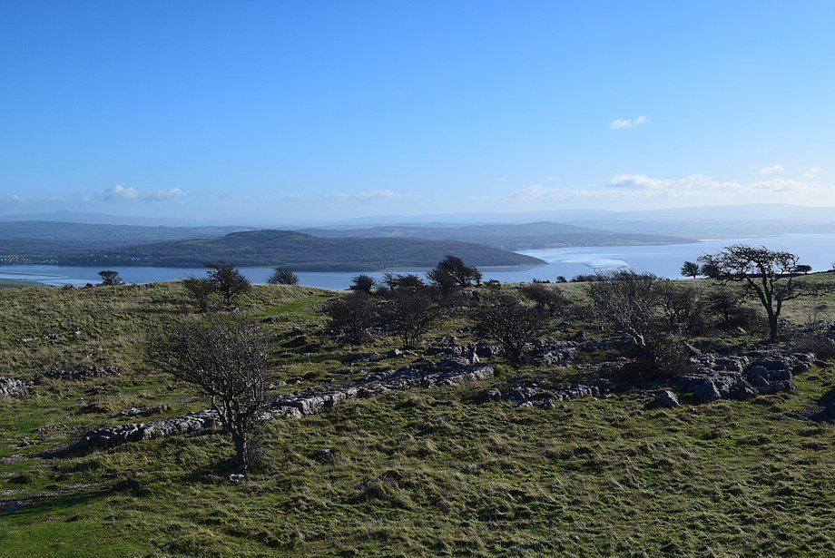
| Looking back to the Kent Estuary from Bishop's Allotment |
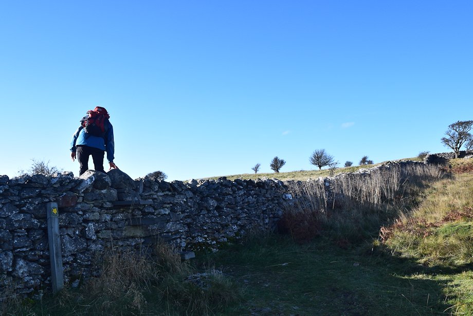 |
| Crossing the stile to emerge onto the open fellside |
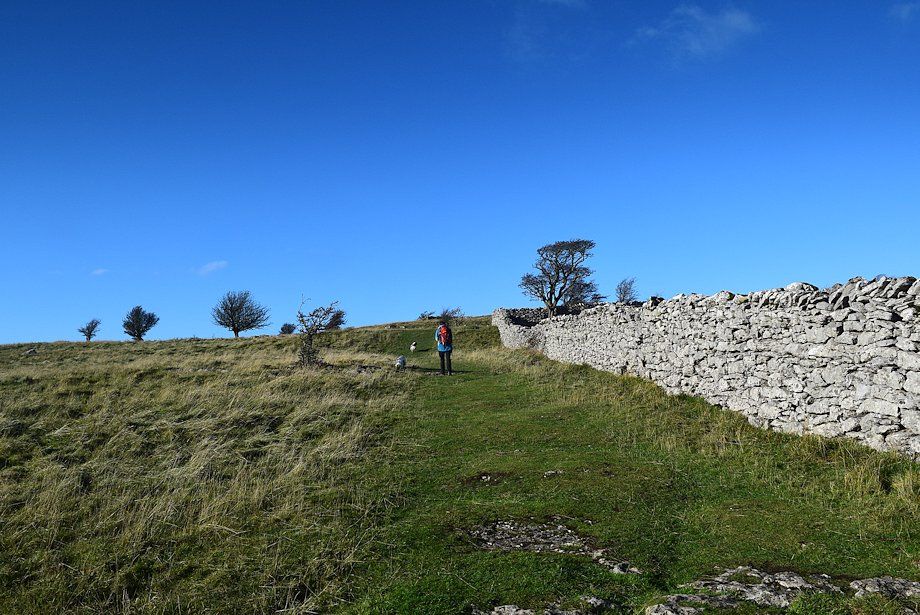 |
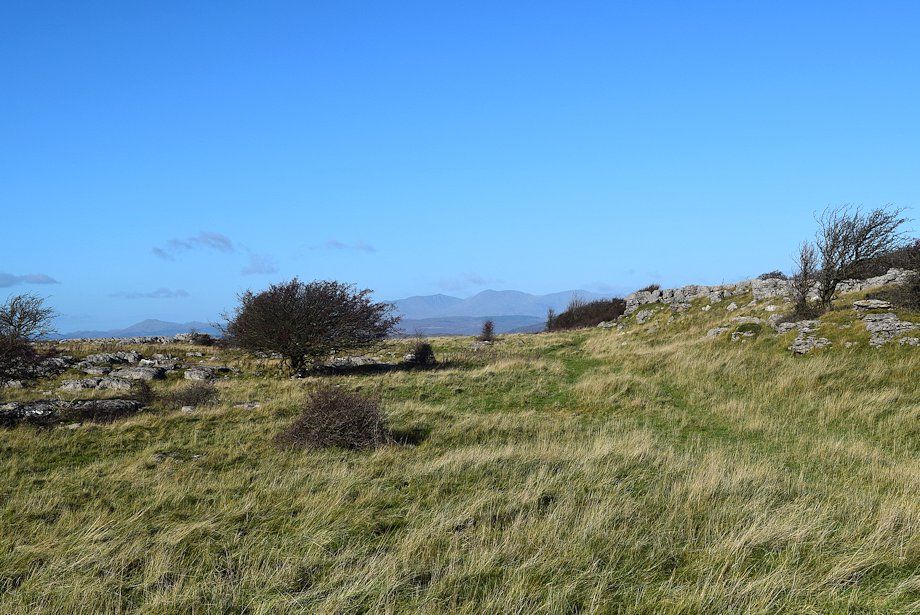
| The path follows the wall for a short distance, when the wall turns to the north the path continues straight ahead towards the summit of Hampsfell |
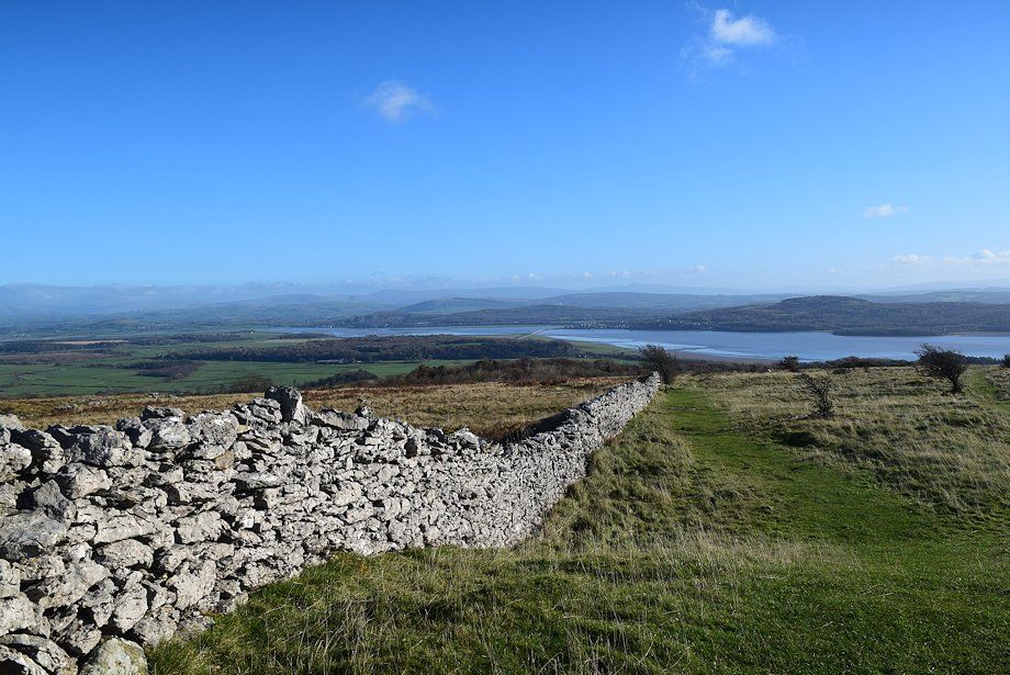 |
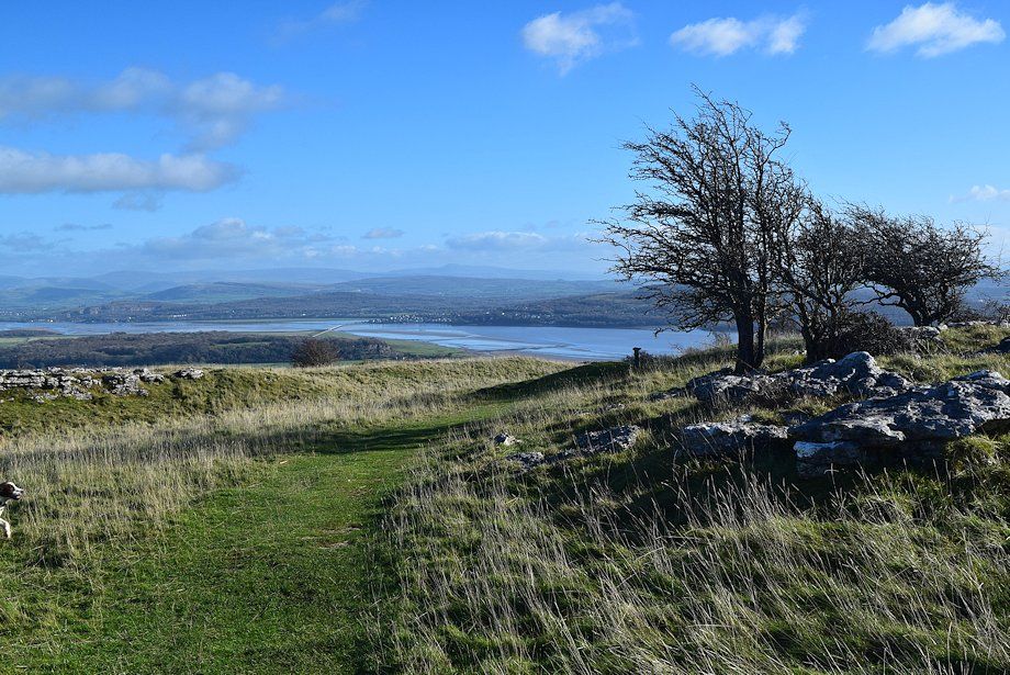
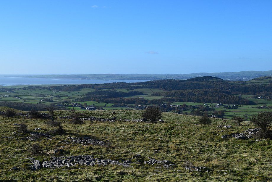
| Looking back towards Arnside Knott across the Kent Estuary |
 |
| The hospice on the summit of Hampsfell comes into view |
 |
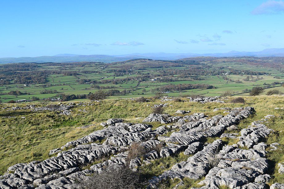
| Looking over towards Whitbarrow |
 |
| The Coniston fells appear over the summit ridge |
 |
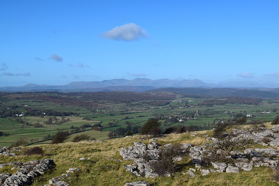
| Looking east, Ingleborough is just discernible on the distant horizon |
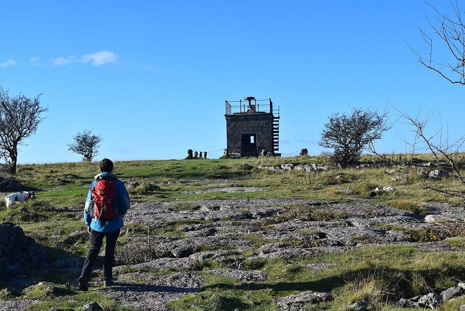 |
| Approaching the hospice on the summit of Hampsfell |
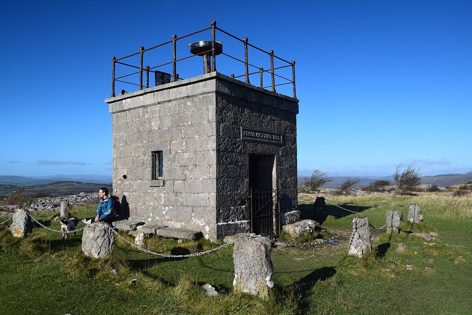 |
| The Reverend Thomas Remington who was vicar of Cartmel between 1835-1854 made a habit of walking to the top of Hampsfell every morning before breakfast and in thanksgiving for all the beauty he had seen, he had the hospice built as a shelter for travellers. There are stone steps inset into the north wall to access the roof which serves as a viewing platform. The interior is furnished with stone seats and a fireplace |
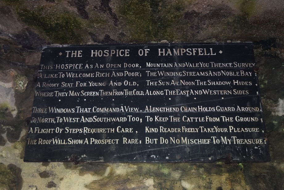 |
| As Wainwright noted on his visit - " The open interior offers good shelter and free poetry readings on painted panels on all four walls : these pronounce as follows, doubtful errors and all" This one is on the west wall opposite the door |
 |
| It appears that back in 1846 the windows were not glazed but were provided with shutters and the precarious steps had no handrail |
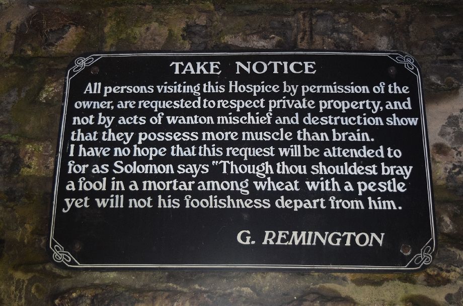 |
| I'm not sure what connection G. Remington had with the hospice, perhaps he was a relative of the Reverend Thomas |
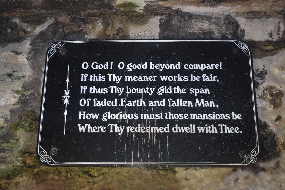 |
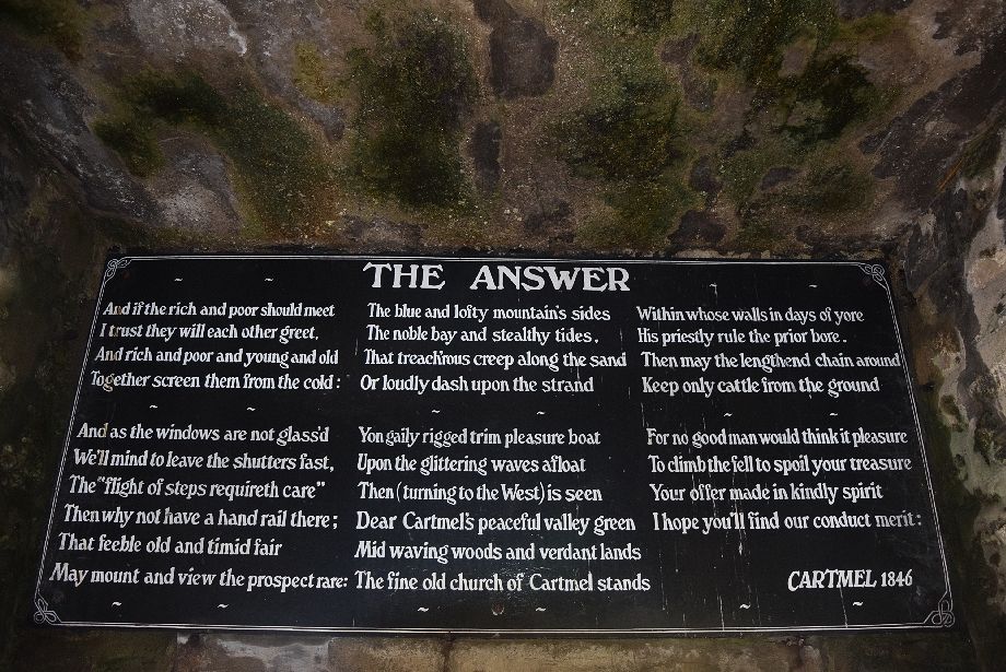
| This one probably best reflects the sentiments of the Reverend Thomas Remington. The last stanza of the hymn 'I praised the earth in beauty seen' by Bishop Reginald Heber 1783-1826, he was a prolific hymn writer |
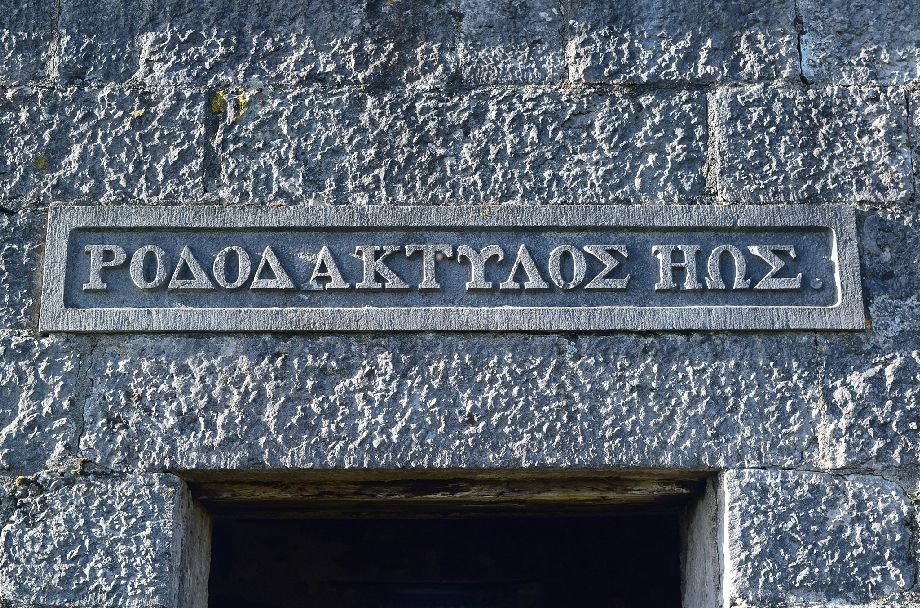 |
| The greek inscription above the door translates as 'rosy-fingered dawn' a favoured epithet used by Homer to describe Eos the Titaness goddess of dawn. Eos was almost always depicted as having rosy fingers or rosy forearms when she opened the gates of heaven to allow the sun to rise. The inscription, on the east wall, faces the rising sun |
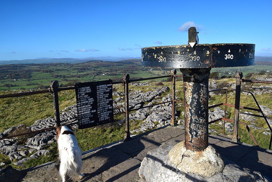 |
| The viewing platform has a simple but effective viewfinder, its circumference is marked with the degrees of the compass |
 |
| Arnside Knott and Morecambe Bay from the roof of the hospice |
 |
| Cartmel with the Furness peninsula on the horizon across the Leven estuary |
 |
| Visibilty was a little hazy today but the Wainwright outlying fells of Black Combe, Buck Barrow, Whitfell and Caw can be seen on the distant horizon |
 |
| The Coniston fells with the Langdale Pikes and High Raise to the right |
 |
| Looking north, in clearer conditions a long line of fells extending from Helvellyn to Kentmere Pike can be seen - Click here for the view on an earlier visit |
