 |
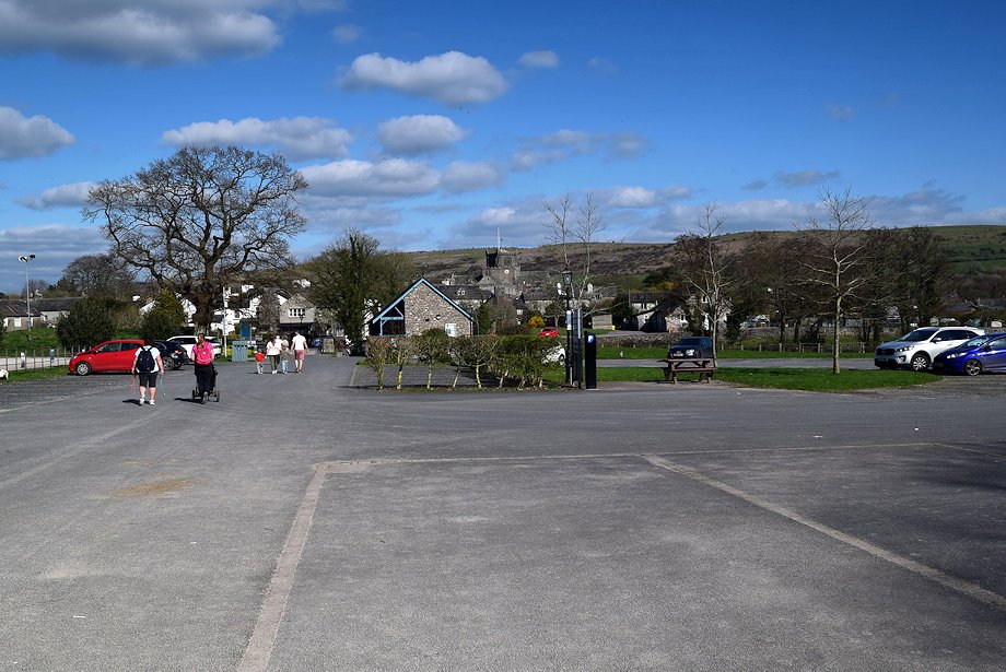
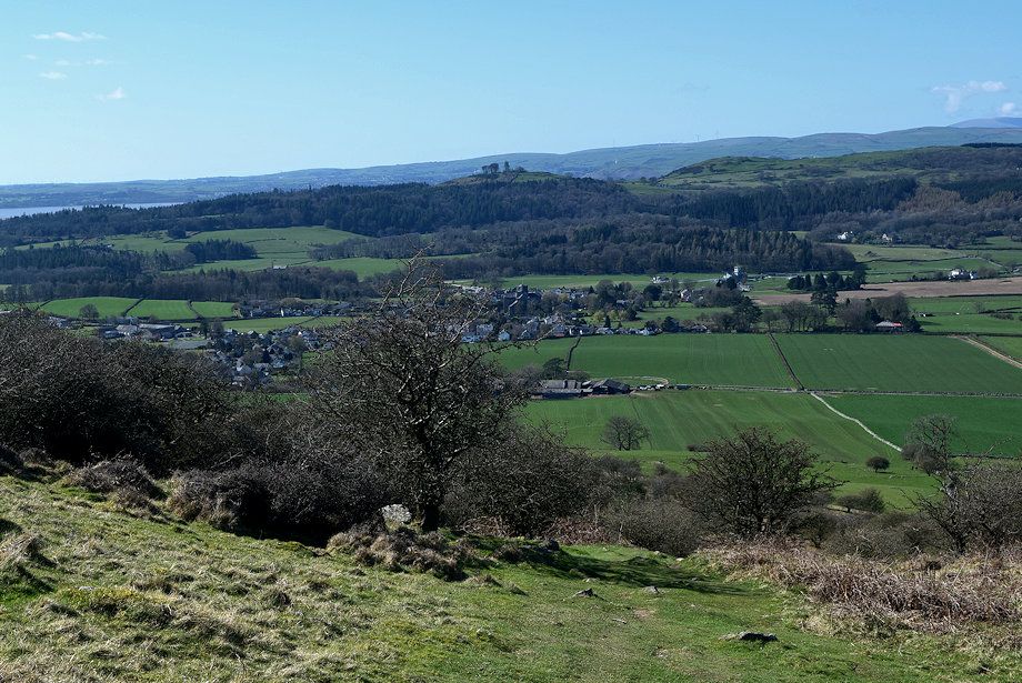
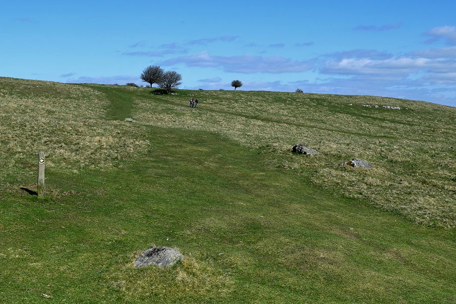
| Hampsfell from Cartmel car park |
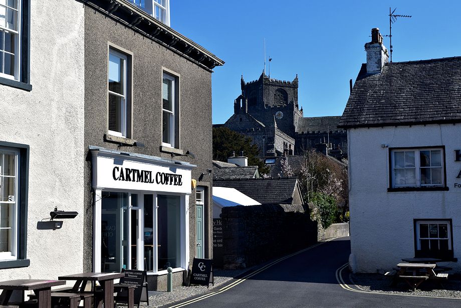 |
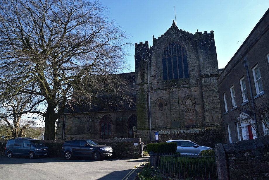
| Cartmel Priory Church from the village square |
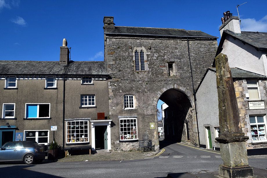 |
| The Gatehouse of Cartmel Priory in the village square, apart from the priory church it is the only remnant of the monastery which was founded in 1190. After the Dissolution of the Monasteries the gatehouse was used as a Manorial Court and later as a school. It is now in the care of the National Trust. Leave the the village square by walking through the arch of the gatehouse and along Cavendish Street |
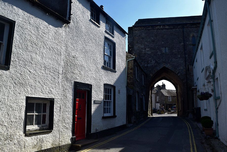 |
| The Priory Gatehouse from Cavendish Street |
 |
| Proceed along Cavendish Street onto Priest Lane |
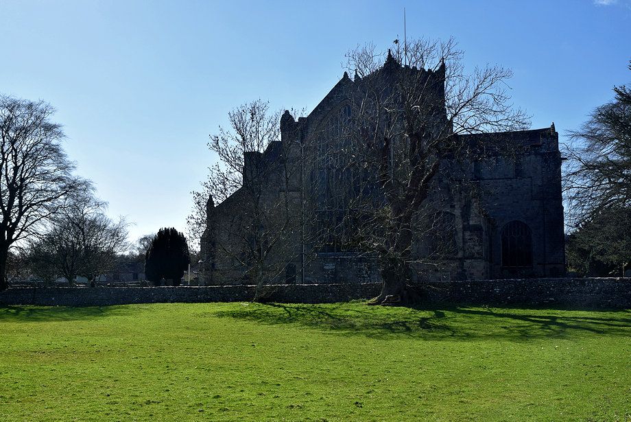 |
| The Priory Church from Priest Lane |
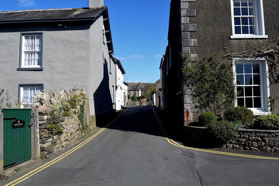 |
| Continue along Priest Lane to its junction with Aynsome Road |
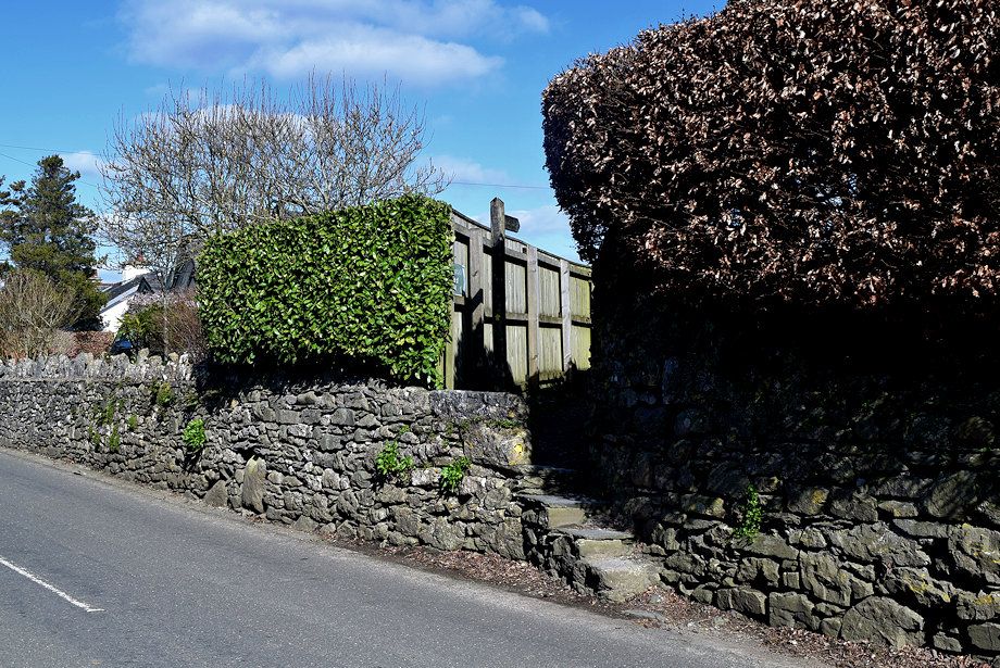 |
| Turn left onto Aynsome Road and 50 yards from the junction steps in the wall, on the opposite side of the road, lead up to a narrow footpath |
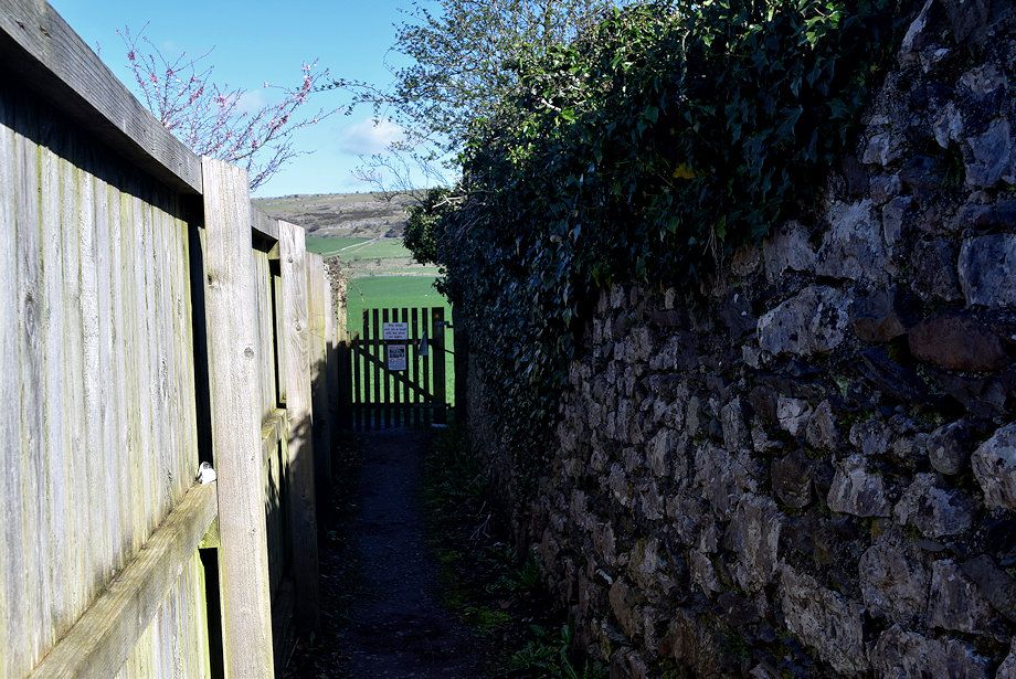 |
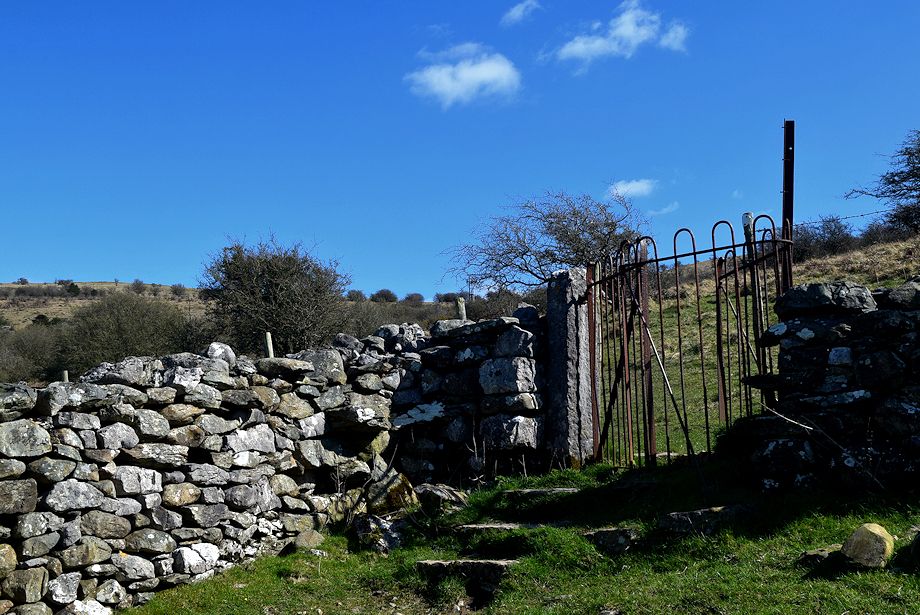
| The footpath leads to a gate and forms part of The Cistercian Way, a long distance path which runs between Grange-over-Sands and Roa Island |
 |
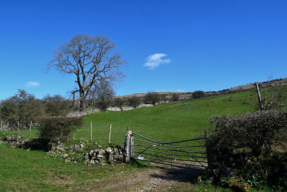
| Hampsfell from the gate, there is only a faint trace of a path across the field just follow the line of the hedge towards Pit Farm |
 |
| Looking back from the field to Mount Barnard and How Barrow above the trees of Park Wood |
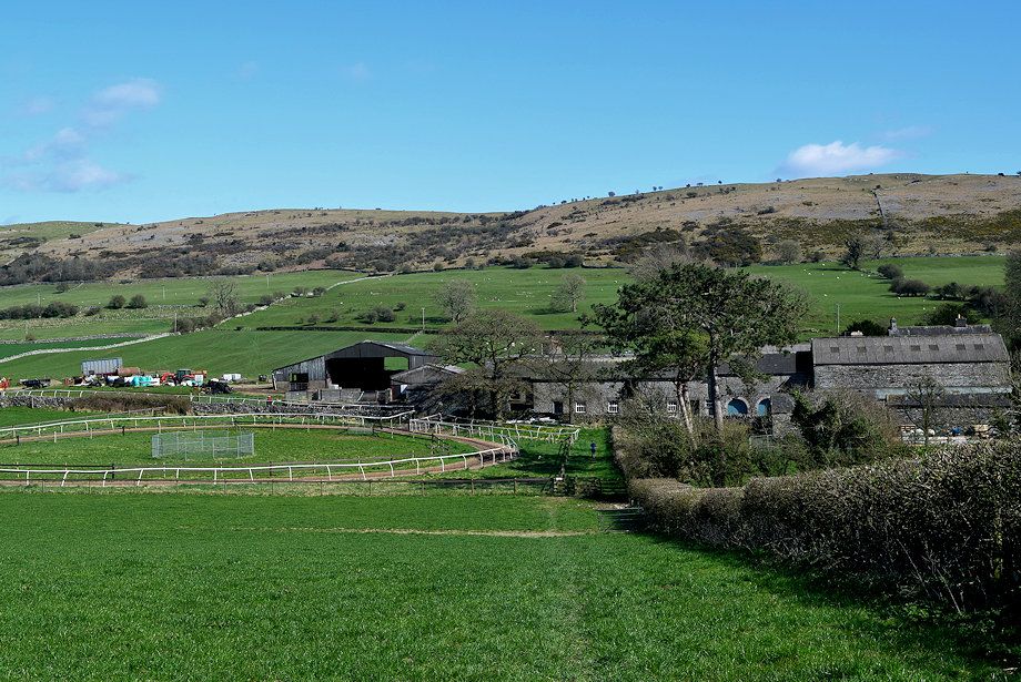 |
| Approaching Pit Farm |
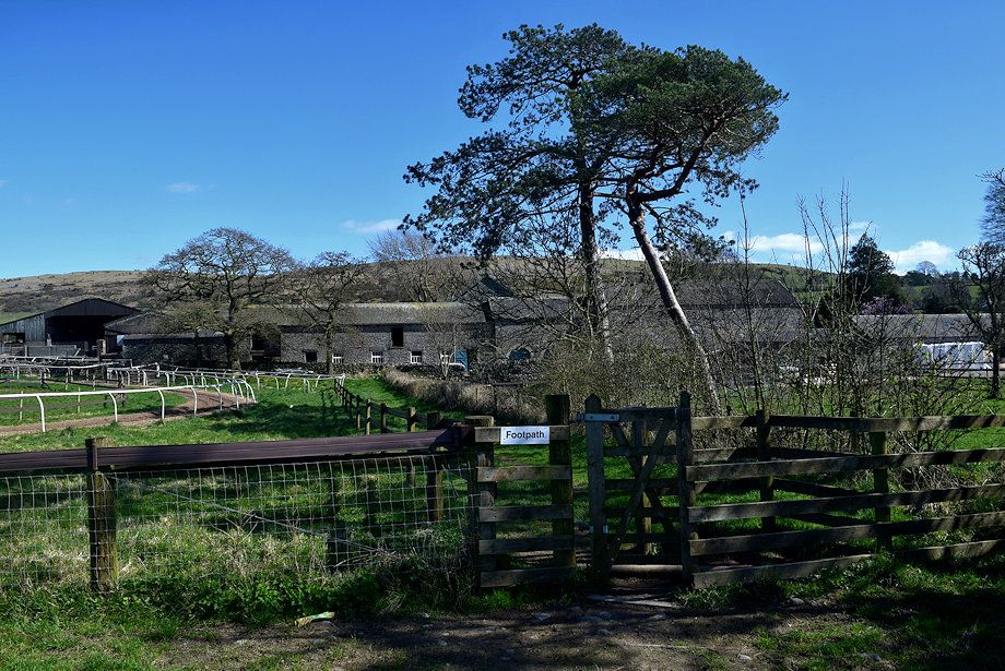 |
| The path around the farm is well signposted |
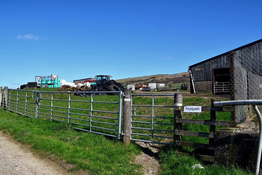 |
| A gate at the end of the farm buildings gives access to another field |
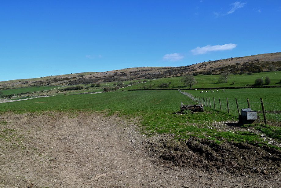 |
| Again there is little evidence of a path, head half left across the field towards its top left corner |
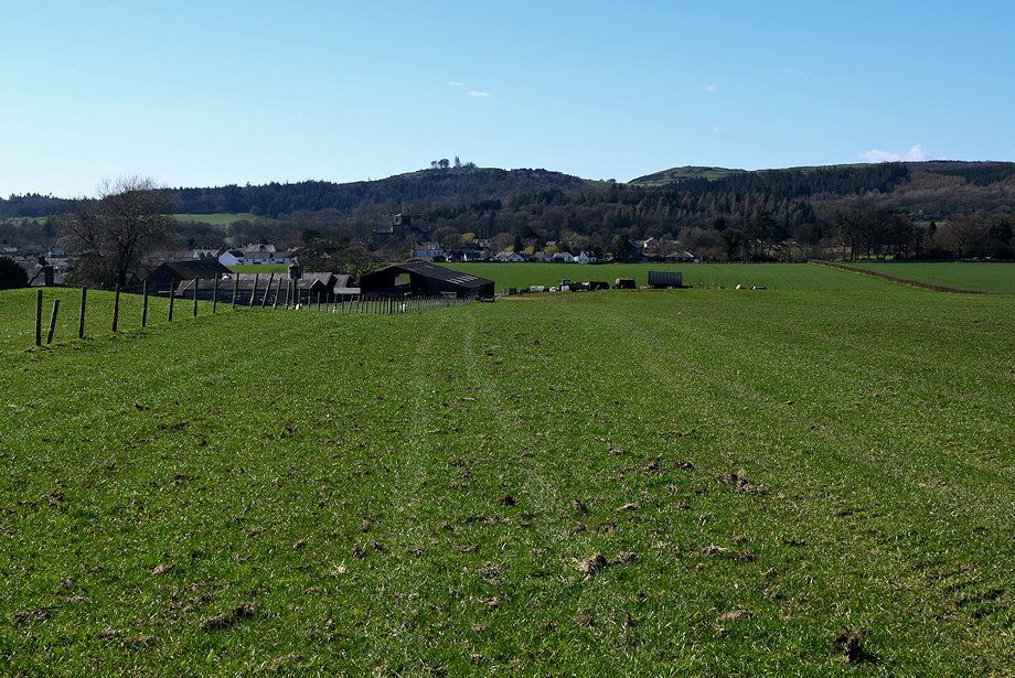 |
| Looking back to Pit Farm |
 |
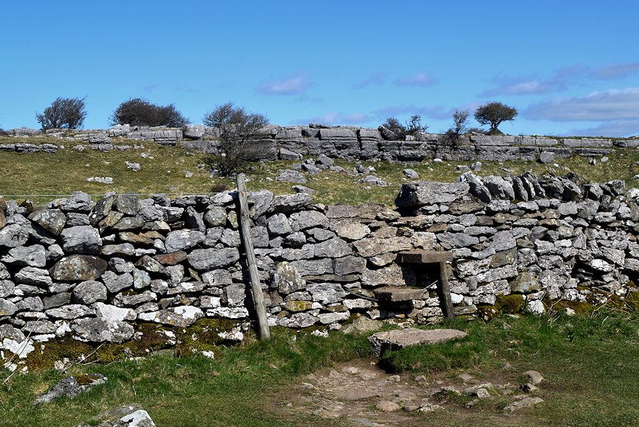
| A gate to the left of a broken metal footpath sign gives access to another field, follow the wall alongside its left edge |
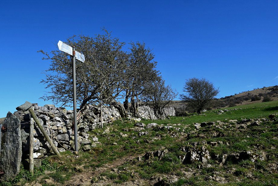 |
| Halfway along the field there is another metal sign indicating the right of way is indeed alongside the wall |
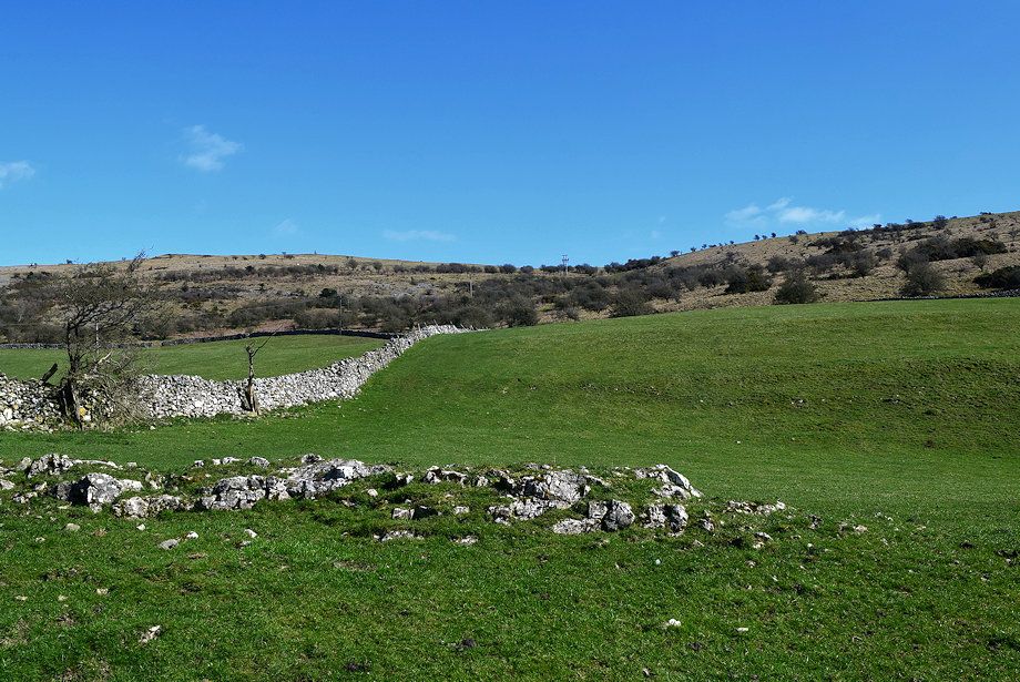 |
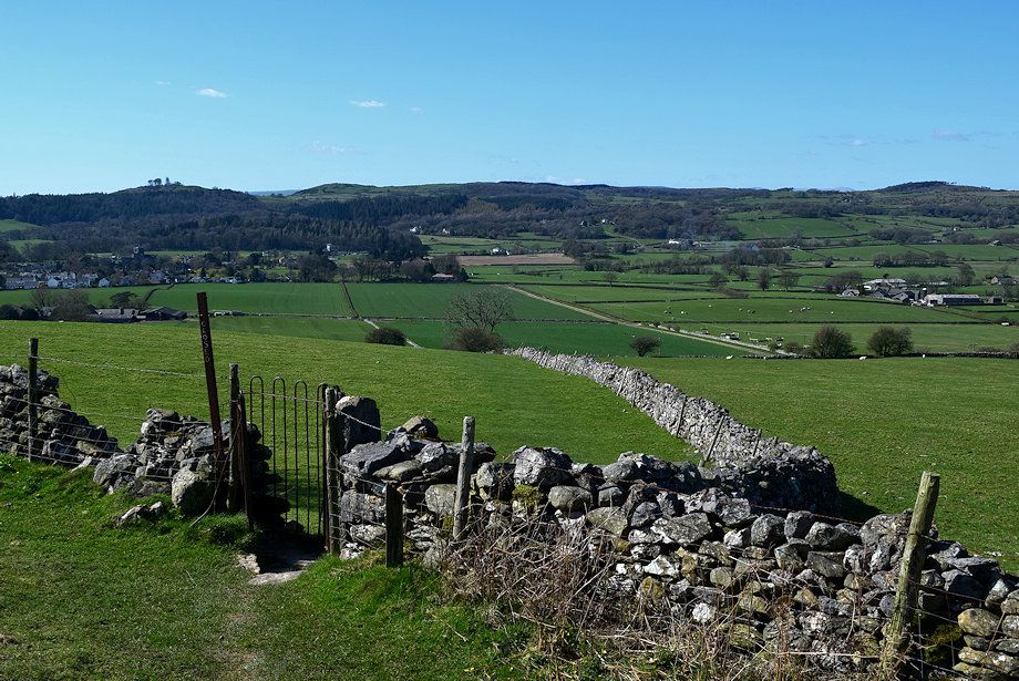
| The Right of Way rises to a metal gate and continues to reach the line of the ridge at the low point on the horizon. The summit of Hampsfell lies to the left |
 |
| Looking over towards Newton Fell |
 |
| The metal kissing gate at the top of the field |
 |
| Looking back from the kissing gate |
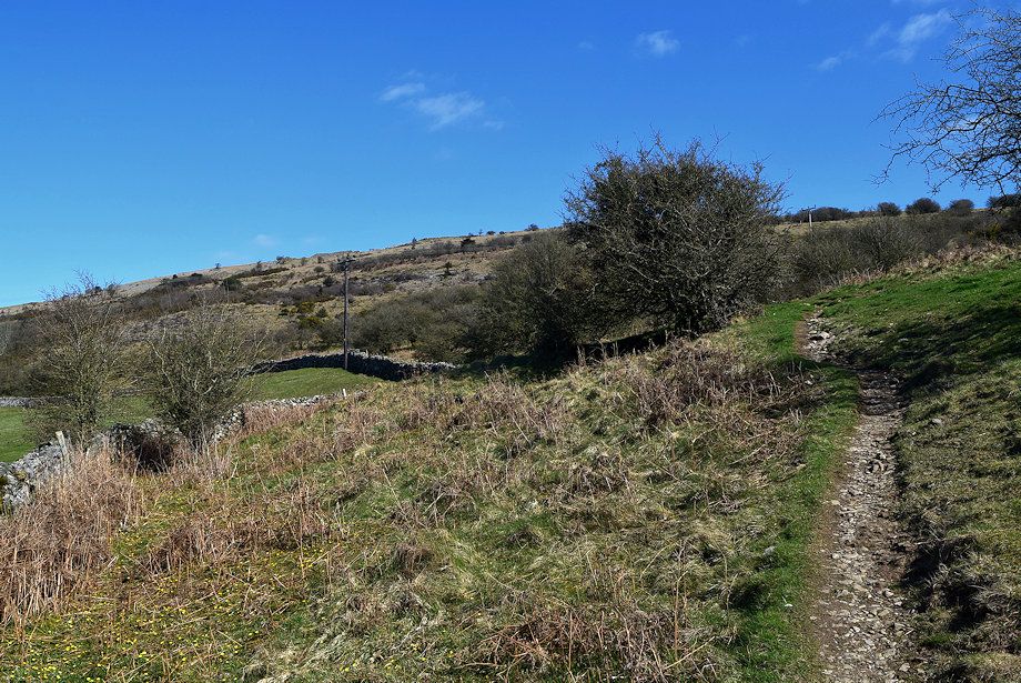 |
| A clear path leads on from the gate |
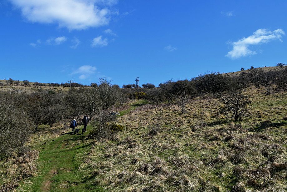 |
| The climb from the gate to the ridgeline through a broad belt of thorn trees is the steepest part of the ascent |
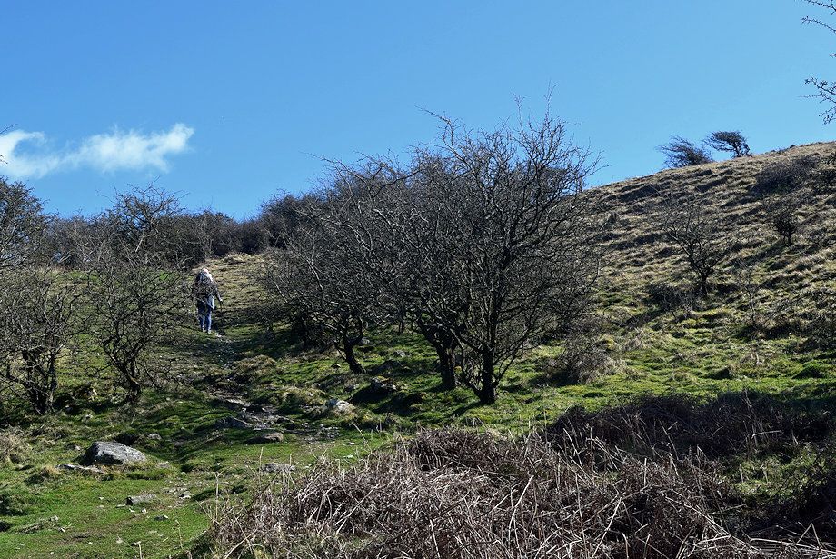 |
| During spring and early summer look out for orchids which grow in profusion on either side of the path |
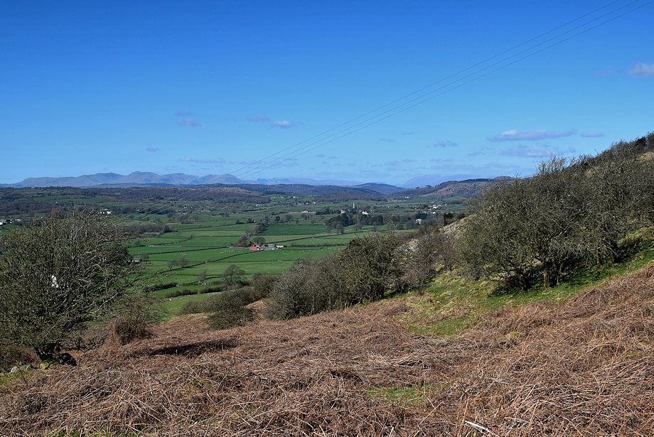 |
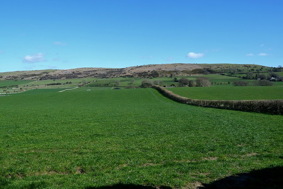
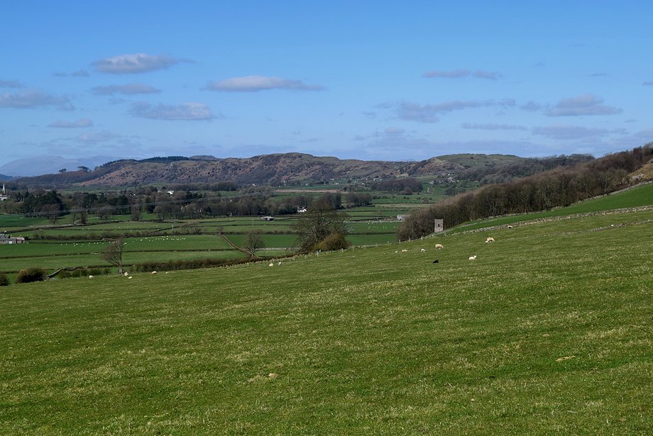
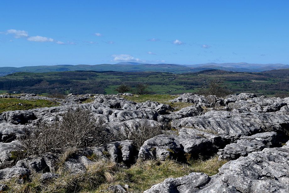
| Looking over to the upper part of the Cartmel Valley |
 |
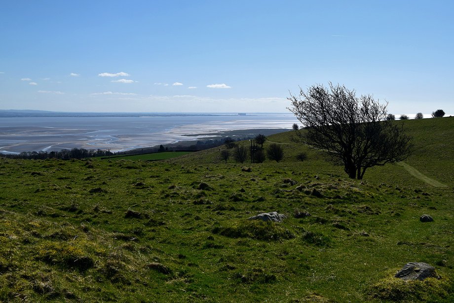
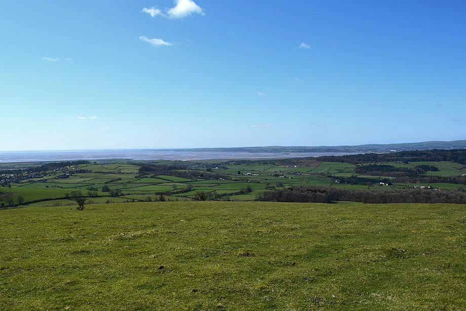
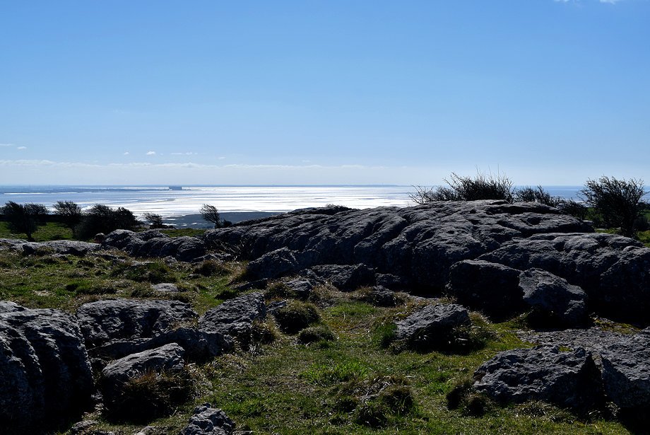
| The Leven Estuary and the Furness Peninsula |
 |
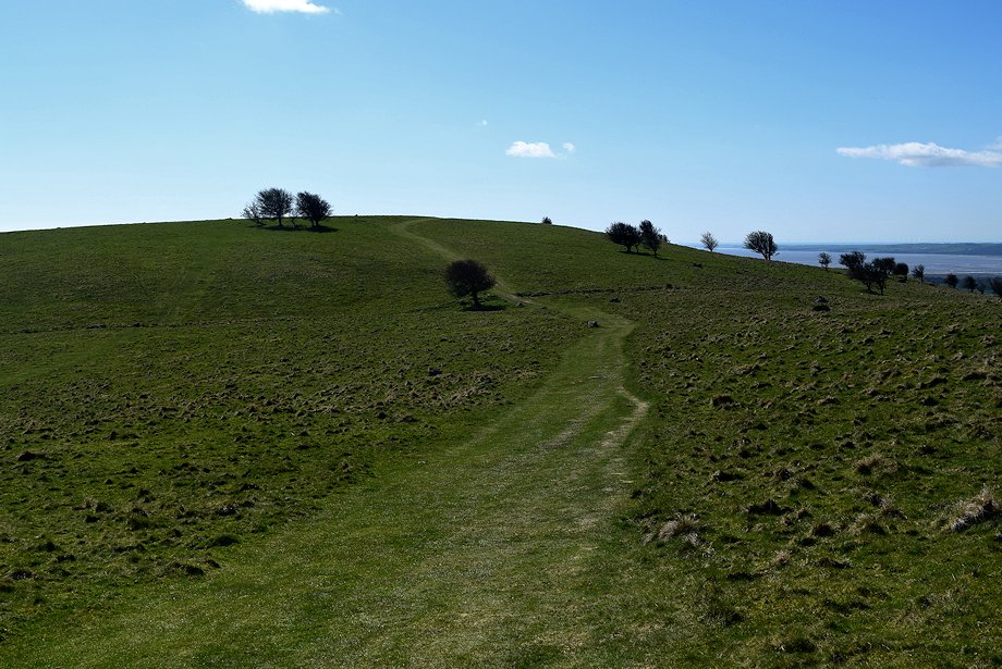
| The stony path gives way to a broad grass slope as it emerges from the belt of trees |
 |
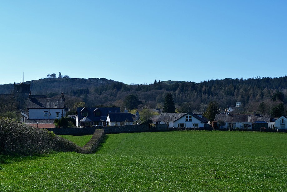
| Looking back to Cartmel |
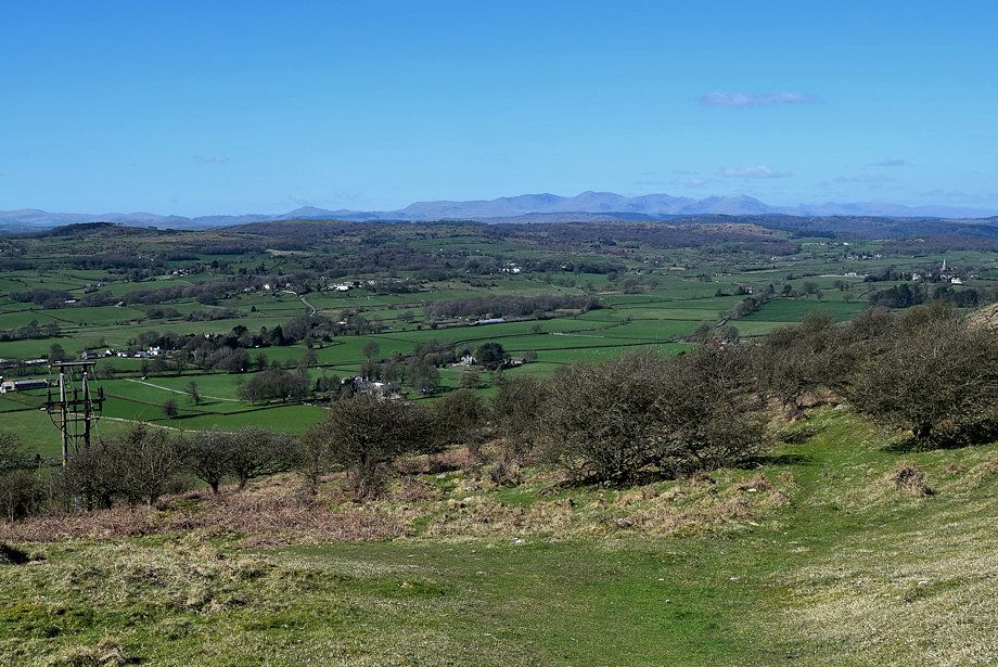 |
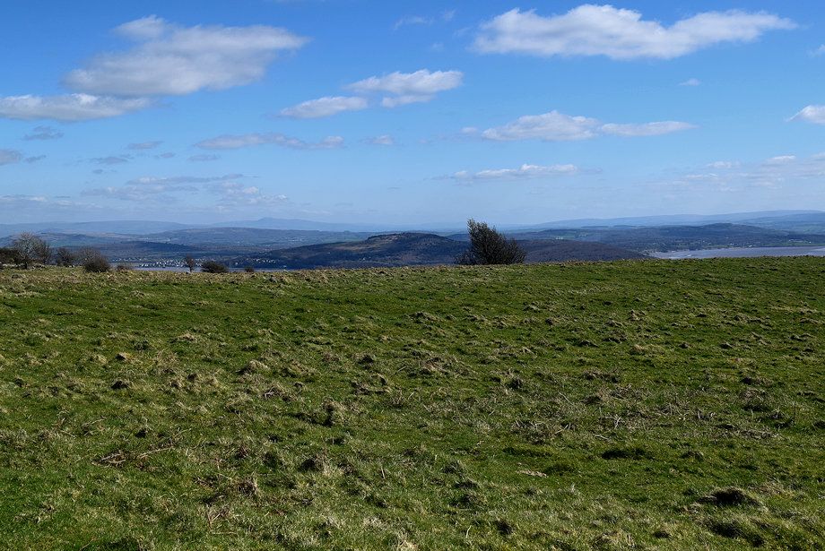
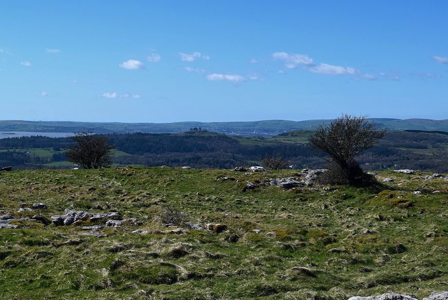
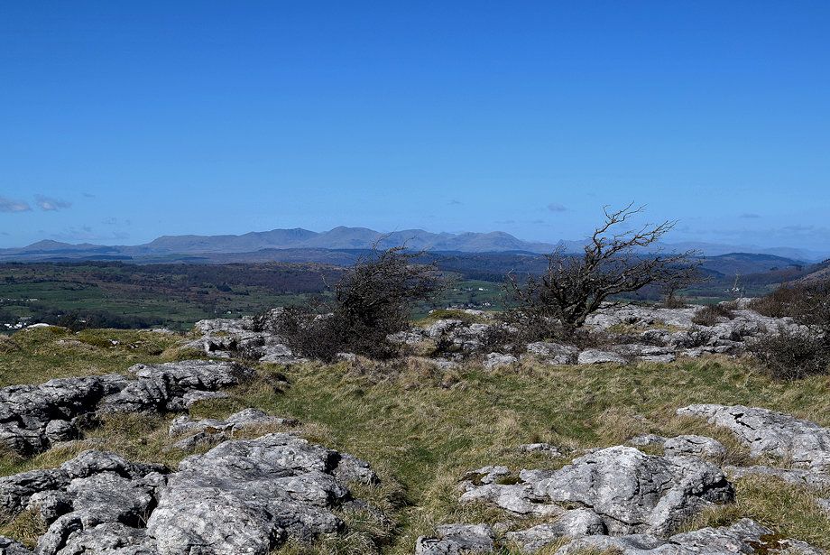
| The Coniston Fells over the Cartmel Valley |
 |
| Helvellyn on the horizon above Newton Fell |
 |
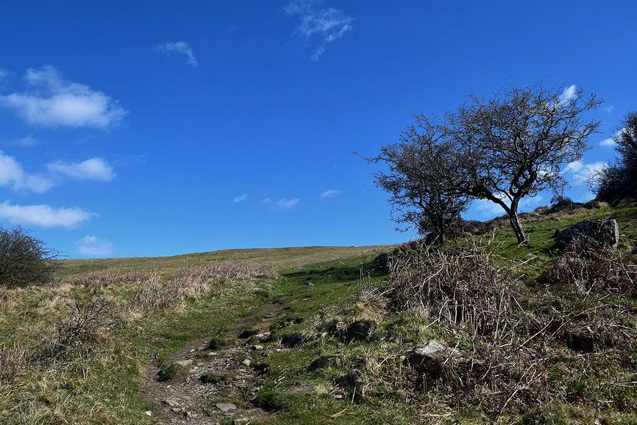
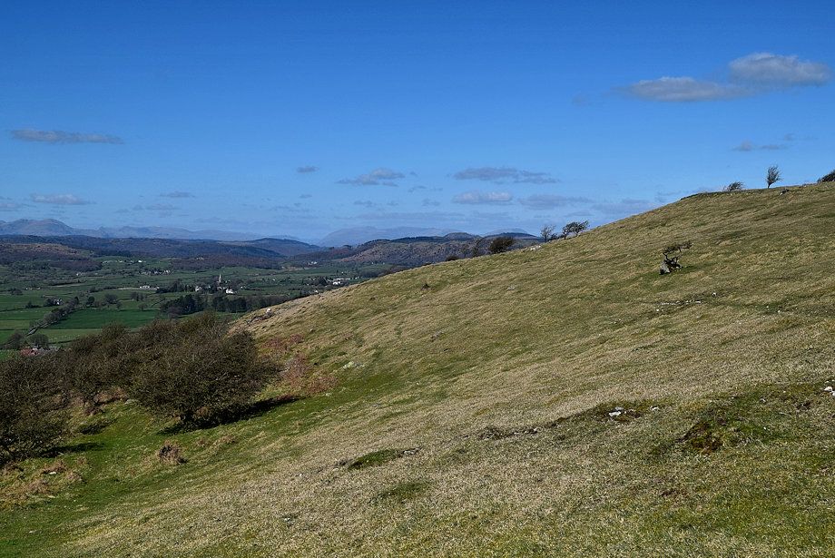
| Approaching the col between Point 202 and the summit of Hampsfell |
 |
| The Cistercian Way path turns to the north on reaching the col and climbs gently towards the summit |
 |
| Looking back to the col and Point 202 from the climb to the summit |
 |
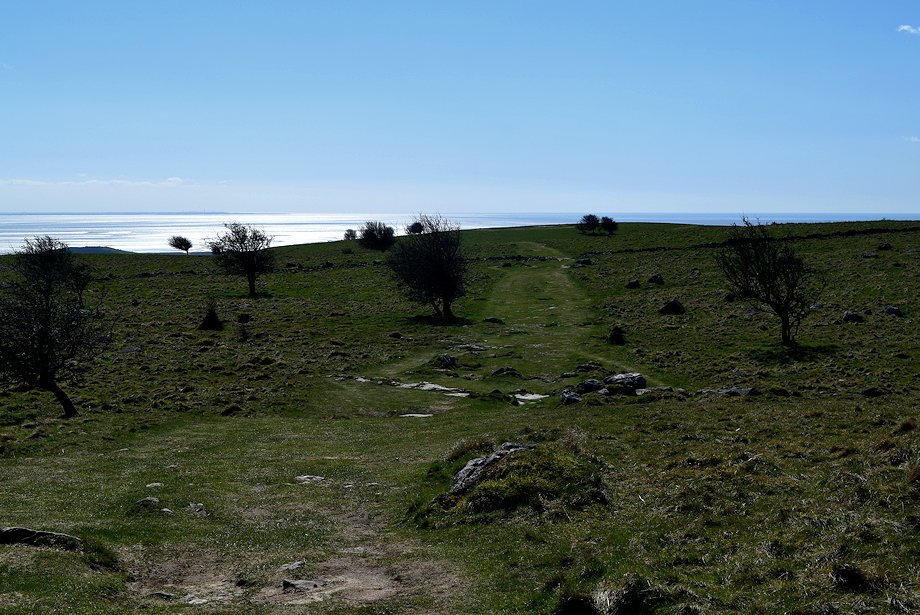
| Morecambe Bay from the climb to the summit |
 |
| Arnside Knott |
 |
| The summit of Hampsfell soon comes into view |
 |
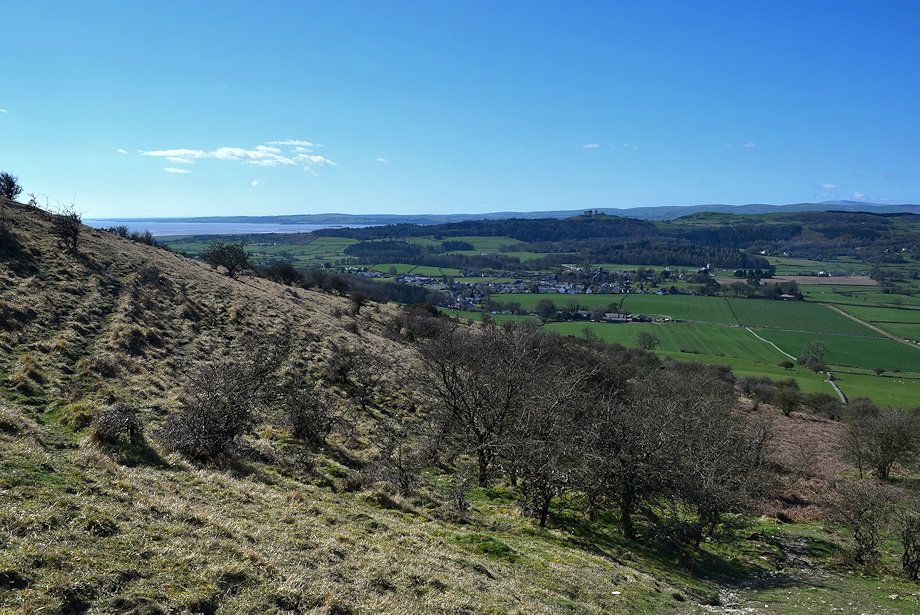
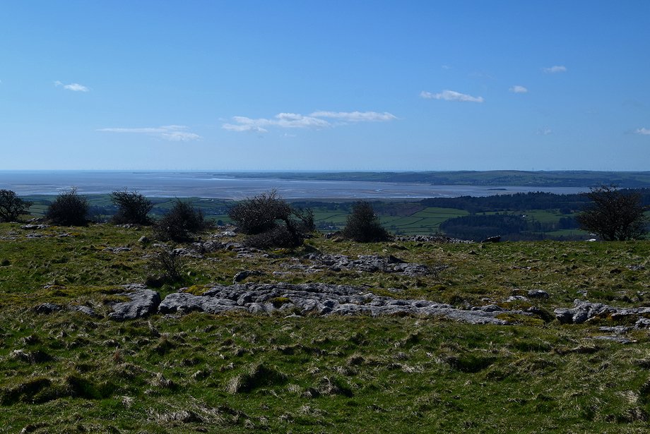
| The lower part of the Cartmel Valley and the Furness Peninsula |
 |
| Step stile in the cross-ridge wall below the summit |
 |
| Looking back from the step stile |
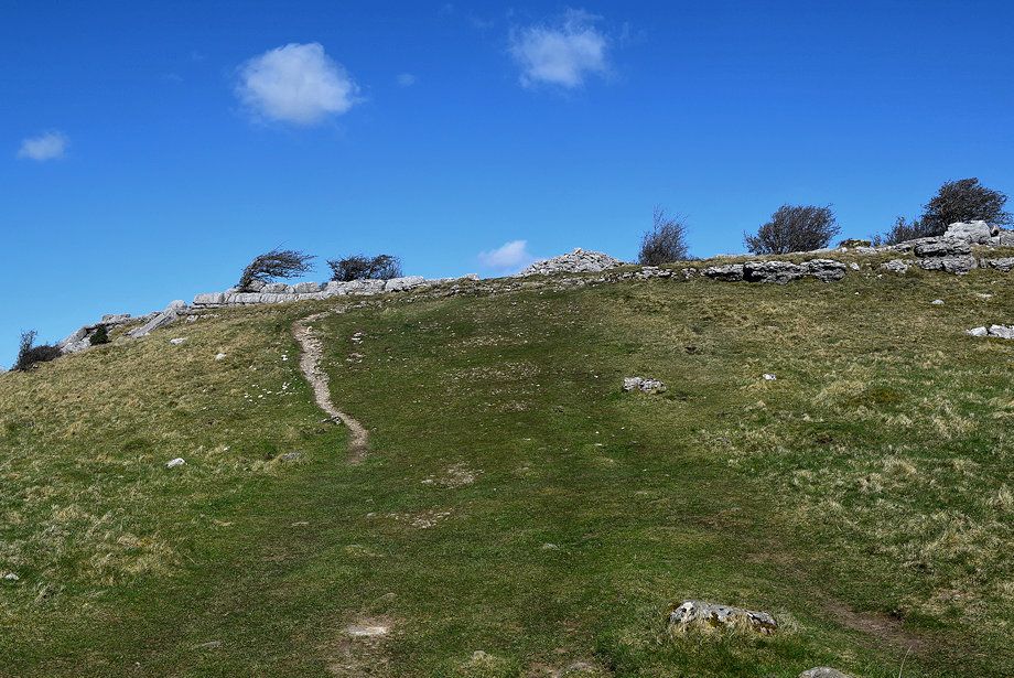 |
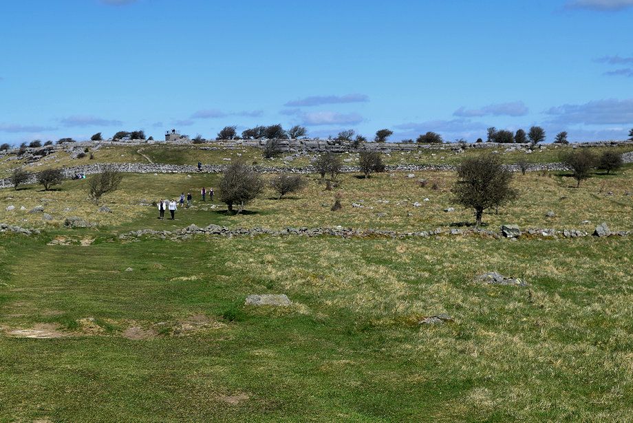
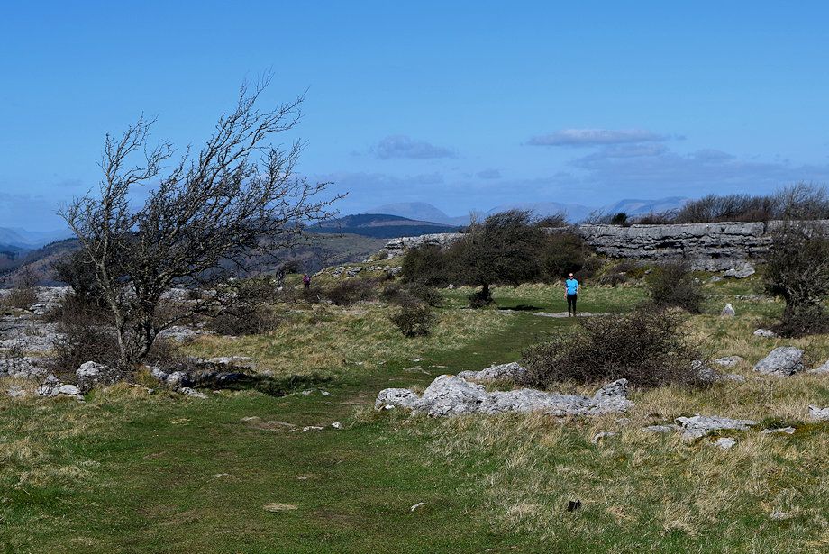
| All that remains is a short climb to a large cairn on the edge of the limestone escarpment |
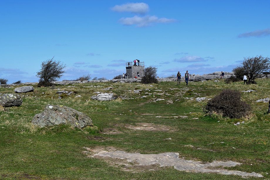 |
| Approaching the hospice on the summit of Hampsfell |
 |
| The path passes through a narrow cleft in the limestone pavement |
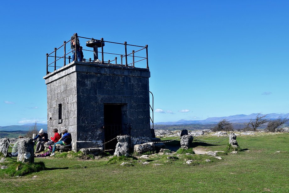 |
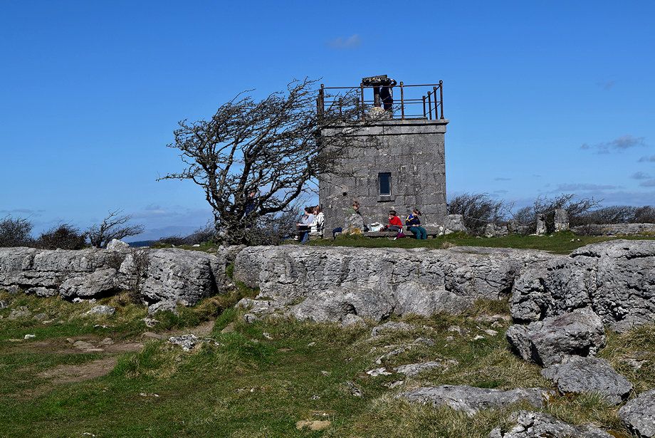
| The Reverend Thomas Remington who was vicar of Cartmel between 1835-1854 made a habit of walking to the top of Hampsfell every morning before breakfast and in thanksgiving for all the beauty he had seen, he had the hospice built as a shelter for travellers. The interior is furnished with stone seats and a fireplace, the roof serves as a platform for a simple alidade viewfinder |
 |
| The ancient greek inscription above the door translates as 'rosy-fingered dawn' a favoured epithet used by Homer to describe Eos the Titaness goddess of dawn. Eos was almost always depicted as having rosy fingers or rosy forearms when she opened the gates of heaven to allow the sun to rise. The inscription, on the east wall, faces the rising sun |
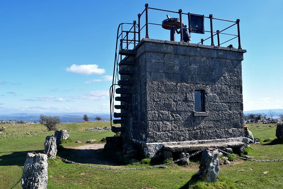 |
| The north wall has built in stone steps to access the viewing platform |
 |
| Looking north to the distant Red Screes, High Street and the Ill Bell ridge |
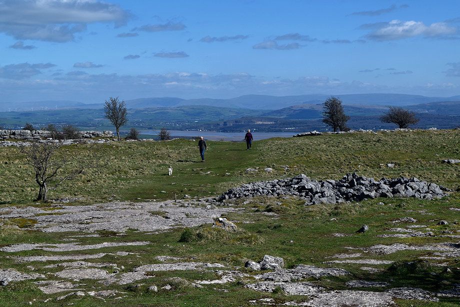 |
| The Kent Estuary from the summit of Hampsfell |
 |
| The Forest of Bowland hills from the summit of Hampsfell |
 |
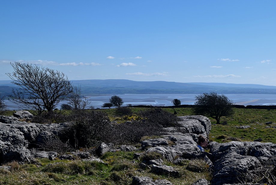
| Morecambe Bay from the summit of Hampsfell |
 |
| The Furness Peninsula from the summit of Hampsfell |
 |
| Mount Barnard from the summit of Hampsfell |
 |
| Black Combe in the distance over the Furness hills |
 |
| The Coniston Fells from the summit of Hampsfell |
| |
